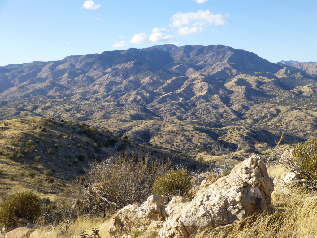
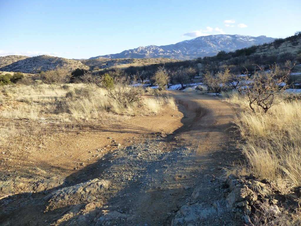
It was early. It was dark. It was cold. It was Saturday. Long before sunrise, I was heading east of town, up into the Redington Pass area, to climb some peaks in Pima County. The reason was that I needed them. My home county has 741 summits and I had only completed 566 of them, so there were plenty left to do. Three of them were fairly close to town, so I was on my way to do them. As I drove up into the high country of the pass, the glow of dawn started in the east. By the time I had reached Piety Hill, the sun had risen. I put the truck into four wheel drive and started in on the narrow dirt road. Andy Martin had told me that he had driven in on that road twenty years earlier and had been able to get all the way in to climb the same peaks, so I was optimistic.
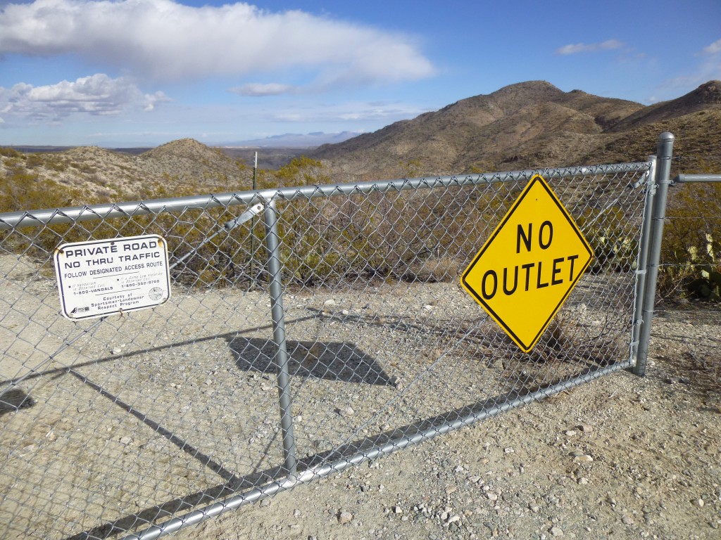
The map showed the road as “4WD”, or four-wheel drive, so I knew it might be rough. There were a lot of steep hills, some of which had a bit of snow on them left over from a recent storm. As I drove down the steepest of these, I hoped I would be able to get back up them again. I wasn’t counting on it, though, as I thought I could just keep on going and get out of the area by a different route. A mile or two in, I came to a gate which carried a sign advising me that my road was not a through road, that at some point it would be locked. I fervently hoped that it wasn’t true, that maybe somehow I could continue.
The road dropped hundreds of feet more in the next few miles, placing me squarely in the bottom of Buehman Canyon. I was excited to see if I could continue driving unhindered, but it was not to be. In half a mile I came to a massive gate, locked tightly and dashing my hopes of continuing. It was festooned with signs bearing such greetings as “No Trespassing”, “Keep Out” and “Violators will be prosecuted to the full extent of the law”. Well, that’s it then. I drove back the way I had come and parked a quarter of a mile later.
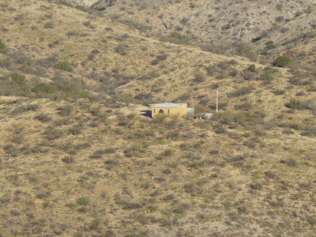
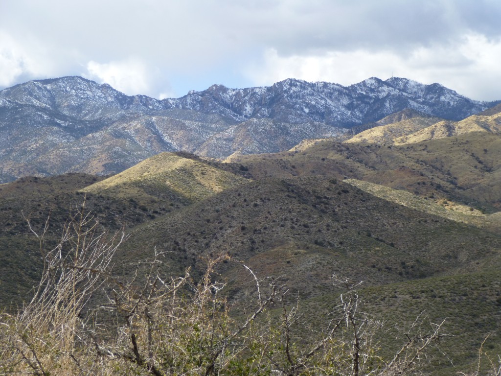
The sun’s rays hadn’t yet penetrated to the base of the canyon, so I bundled up in several layers against the sub-freezing temperatures. Away I went through the frozen weeds, up a short side canyon, then started up a steep loose hillside. The bushwhacking wasn’t too bad, and I made steady progress upslope. In less than an hour, I stood on my first summit, Peak 4381, about 1,200 feet above my truck. There, I found a cairn with a summit register. I could see across the valley to the west, where I spotted a home on a hillside. Hmmm, that must be the rat-bastard whose gate had blocked my way.
When Andy had driven through here long ago, there was no gate. Once I descended to my truck, I had no choice but to drive back out the way I had come in. If I had been allowed to carry on past the gate, I could have arrived at my next peak in a mere six miles. Now, because of some guy who wouldn’t let anybody cross his little piece of land, I had to drive twenty-three miles, the long way around. To make it worse, I now had to drive up some very steep hills on the way out, hills which I had hoped to avoid. I was concerned about the snow I had seen on some of them. Since I really had no choice in the matter, away I went. The hills all went fine, and, Bob’s your uncle, I was back at Piety Hill before I knew it.
Continuing on Redington Road, I headed mostly east and, after several miles, dropped down to the San Pedro River. After a few miles on the main road, I came to a turnoff heading west, the dirt road I was looking for. As I drove along this road, I spotted a vehicle ahead of me, and before long he stopped to open a gate. I got out and chatted with the guy. He was dressed in camouflage, and my guess was right that he was a hunter. He gave me some good information as to what to expect farther on down the road, the main thing being that I would be able to drive all the way to my next objective without any hassle.
He asked me to go on ahead of him, reasoning that he wanted to go slowly and scout for game. “Leave all of the gates open”, he suggested, as he would follow in a bit and close them all soon enough. That was fine by me, as the weather was starting to look threatening and I wanted to make up for lost time. The winding road climbed slowly, gaining a thousand feet in nine miles. En route, it passed three different man-made watering holes for cattle, called “tanks” in these parts: Pink Tank, Cocklebur Tank and Lonehill Tank. These are long-lived, and are important enough that they have official names on the government topographic maps. I came to a stop at the road’s end, where the man I had met earlier had set up his hunting camp with his friends.
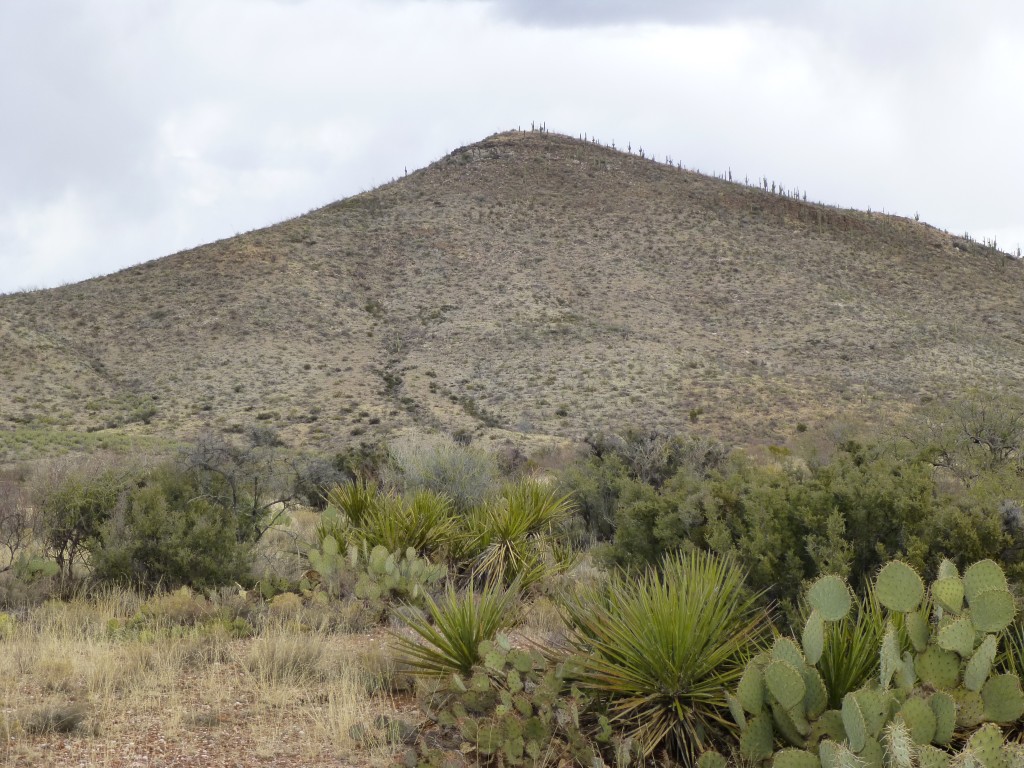
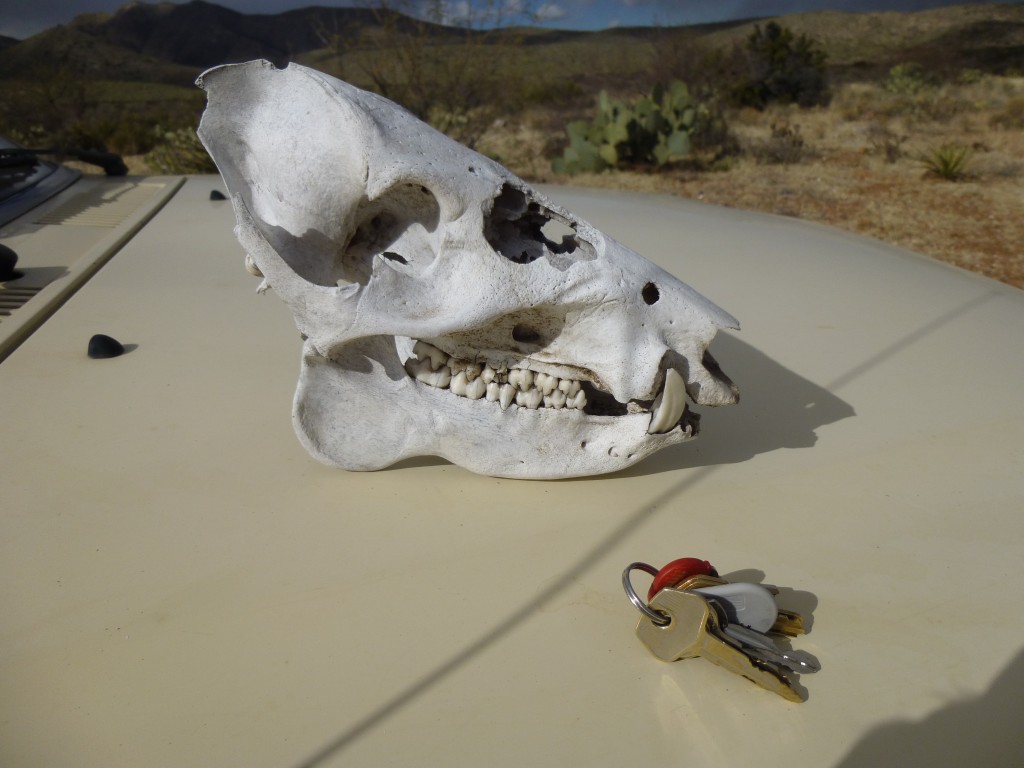
I was now south of a small peak called Lone Hill, which was in plain view. I grabbed a water bottle and headed downhill to cross a drainage. Something white under a bush caught my eye, so I stopped to have a look. Bones, a skull in fact.
When I first saw the lower jaw, I thought it was a mountain lion because of the long canine teeth. Then I realized that I was looking at a complete skull, both parts of which fit together perfectly. Only then did I realize it belonged to a javelina – a great souvenir for the grandsons. It didn’t take much longer to reach the summit, at 4,083 feet. The obvious cairn had once held a register, but the jar was now empty – my guess was that some hunter had messed with it. Some people have no respect!
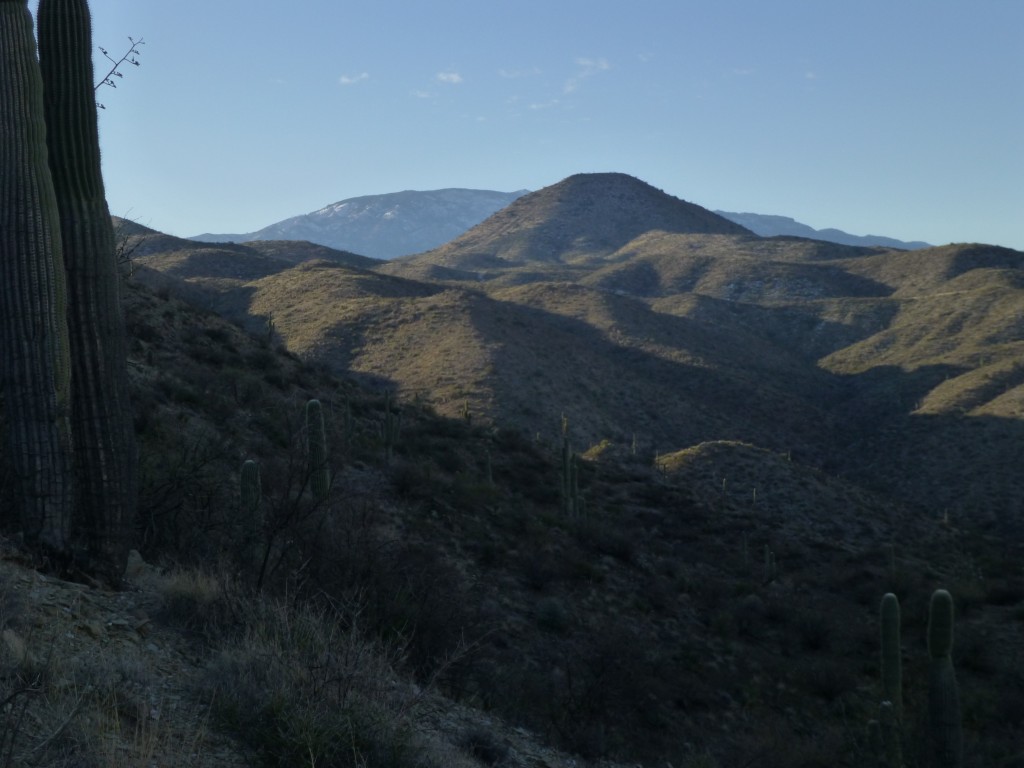
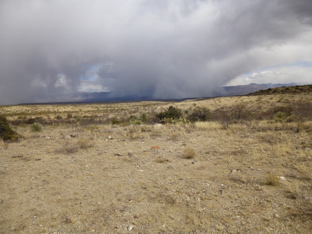
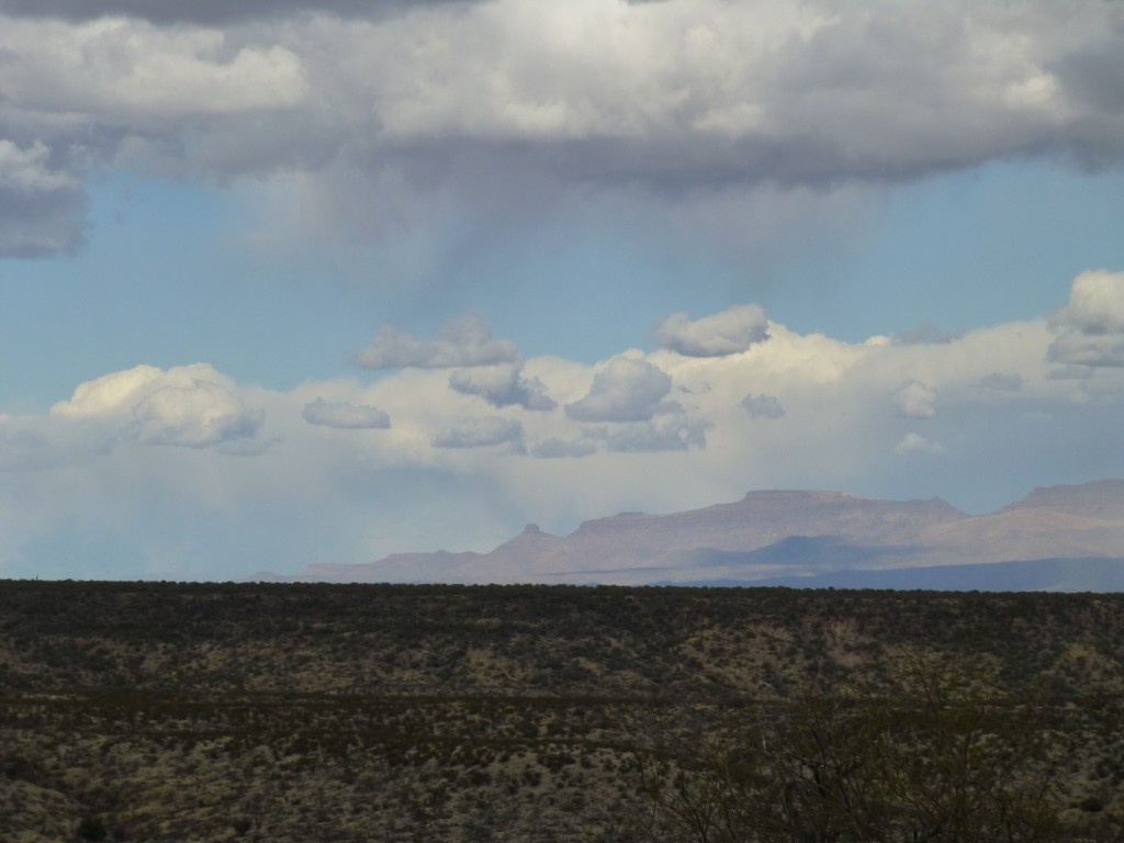
Returning to my truck, I noticed that it was getting colder. Snow flurries could be seen in the distance all around me. The play of sunlight and clouds was so interesting that I stopped several times on the way back out to the river to take pictures.
Once back down at the river, I drove the Redington Road back up into the high country of the pass.
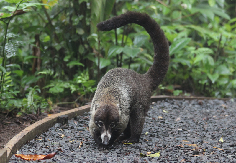
Hoping to climb one more peak before the day was done, I was driving pretty quickly through the curves in the hilly country when I almost had an accident. As I came around a corner, I saw something on the road right in front of me. Slamming on the brakes as hard as I could, I slid to a stop on the icy surface. A family of coatimundi was crossing the road, but when I almost plowed into them, they did a 180 and ran back the way they had come. I was so surprised to see them that I left the truck running and hopped out, following them into the trees. My goal was to get a good picture of them, but they were too quick, and soon disappeared. There were a few youngsters as well as several adults. I hadn’t seen any of these elusive creatures for many years, so it was a real treat to see them, however briefly. Here is a picture of coatimundi from the internet.
Back into the truck, I continued driving. Using the GPS, I was determined to find the start of the road shown on my map, the road which would lead me to my final peak of the day. Well, as in previous attempts, I couldn’t see the road, even though the reading said I was right on top of it. I pulled off the main road and parked in several inches of snow. Even though it was only a little after 2:00 p.m., my truck was in a shady hollow and it felt cold. Heading north cross-country, I kept looking for any trace of the old road but found none. Hoping I would eventually find some sign of it, I climbed up a slope towards a sunny ridge and got my next surprise of the day. Sitting out in plain view was a Jeep, and a guy having a smoke next to it. I hollered to him from below, and he was as surprised to see me as I was him. When I got up to him, I saw that he was on a good road. How had I missed this?
Phillip from Atlanta told me where he had picked up the road, and then it all made sense. The road I had been looking for was long-abandoned, and a new one had replaced it. He told me he was in Tucson on business for a few days, and had rented the Jeep to drive some back roads and explore a bit. Luckily for me he needed a smoke and a pee just as I came up the hill, so had stopped. I showed him on my map exactly where we were, and also where I was going. He offered to drive the road to its end and drop me off right where I was hoping to go. It was only a short drive but saved me a bunch of time. I had forgotten to bring any food with me, so when he offered me a banana from his lunch, it made the sendoff even better. Oh yes, the Jeep thermometer said it was only 39 degrees, the high for the day.
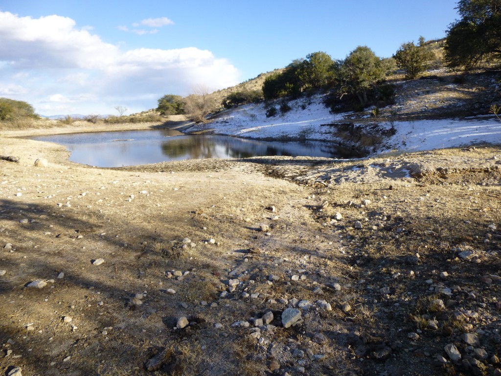
He turned around and drove away, leaving me beside a huge tank about the length of a football field.
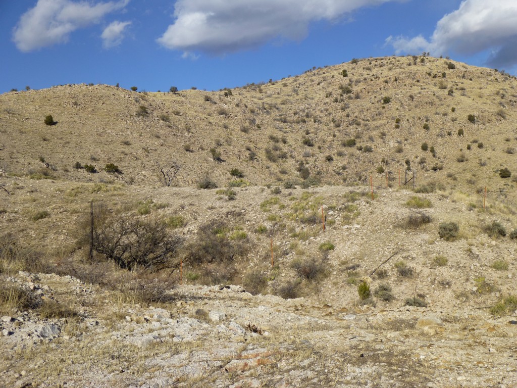
A group of cattle watched me start uphill, back into the bright sunlight. This last summit, simply known as Peak 4721, was a bit of a walk from anywhere.
I only had to climb about 500 vertical feet up to the top, while crossing one false summit. Four deer greeted me on the final slope, then bounded away. I signed in to the register and turned around right away to descend. There was a stiff breeze up there, so I was glad to be wearing a few layers.
Once back down at the tank, I started walking out on the road at a pretty good clip. It rose and fell, following some ridgetops and dipping into gullies, up and down a lot, forcing me to do a lot of extra climbing on the way back down to the main road.
When I realized where it had left Redington Road, I then saw that I could have saved myself an awful lot of effort and time by driving all the way in to the big tank. Oh well, live and learn. By the time I got back to my truck, 2 1/2 hours had passed. The sun was setting, and it had dipped below freezing again, but it had been a great day. Three more crossed off the list.
Please visit our Facebook page at https://www.facebook.com/pages/Desert-Mountaineer/192730747542690

