Recently, on a rainy winter morning, I headed out early in the hope that I might dodge the storms and have a good day of climbing. Back in November, 2000 I had gone in to a small group of mountains called the White Hills. That had been with my California peakbagger friends Mark Adrian, Richard Carey and Dave Jurasevich. At that time, we only climbed the high point of the group. I had been past the hills dozens of times in the intervening years, always thinking of going back in there but never quite getting around to it. Well, here I was, back again, this time for real.
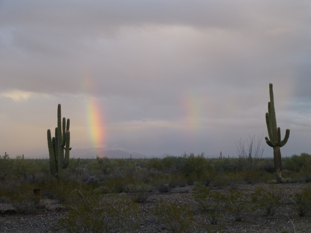
I had been continually checking the weather radar during the previous 24 hours, and bands of rain had been passing through non-stop. This morning, things looked as if they had quieted down, so away I went. It wasn’t much after first light when I reached the area and drove the road south into the Vekol Valley. By the time I parked, the last few squalls were moving out. About all that was left was a nice double rainbow.
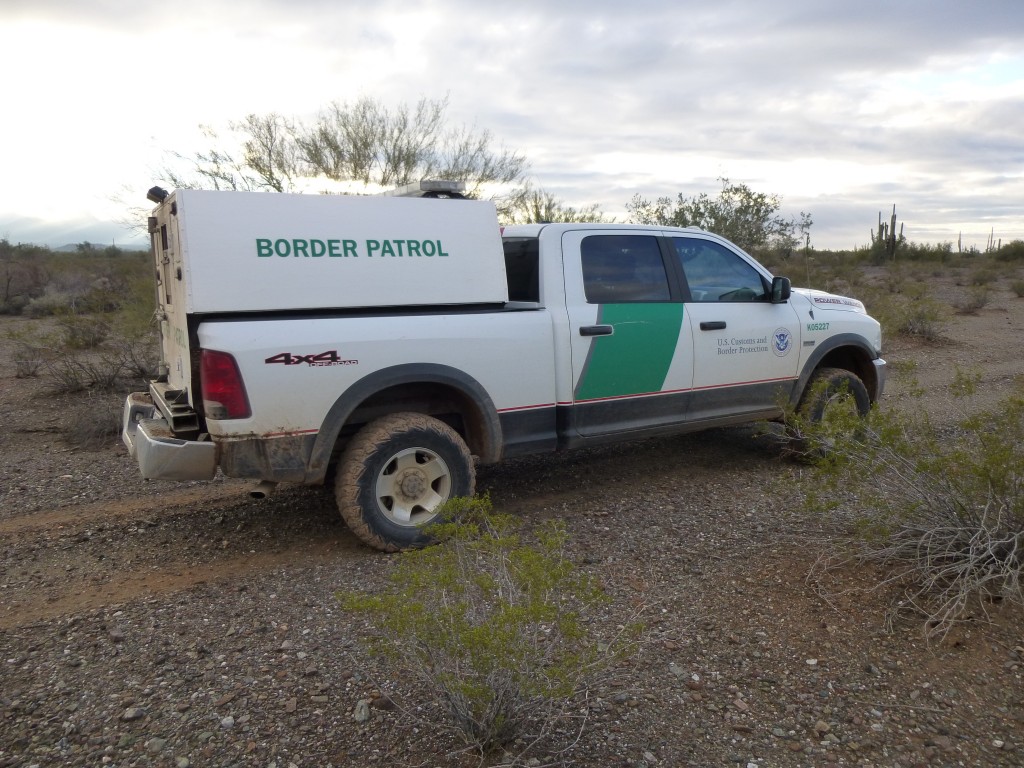
I was getting my pack ready, set to leave, when I heard the sound of a vehicle approaching. What the….! Pretty curious for the first thing on a Saturday morning, way out here. All I could do was stand there and watch it come nearer. Out in these parts, you just never know who might be coming, and why. Within moments, I saw the familiar white and green of the U.S. Border Patrol. The driver pulled up and stopped behind my truck. I walked over to him right away, my hands in plain sight. He put the passenger window down in order to talk to me.
We struck up a conversation, and within moments he realized I was one of the good guys. I told him I was out there to climb the nearby peaks, pointing to them, and described the route I planned to follow for the day. Soon, we were exchanging stories of things we had encountered out on the nearby Tohono O’odham Indian Reservation. I think he could tell by the minute details I was giving him that I had in fact been all over that land. When I told him that I had helped out the Border Patrol numerous times by passing information on to them, he seemed pleased. On a sad note, he told me that the old man who lived near Serapio’s Gate, right on the Mexican border, had passed away five years ago, and that illegals had burned his house to the ground. I was happy to see that he had some serious firepower in his vehicle – it wasn’t always that way, the bad guys used to be better armed than the BP. These brave men and women put their lives on the line every day to keep us safe, and they need to be able to take it to the smugglers to have a fighting chance. Promising to keep him informed if I saw anything untoward in my travels, we said goodbye and I moved on out.
Heading west and going across the grain of the prevailing drainage, I dipped into and back out of several washes. Before long, I reached the base of my first peak and started up. It was straightforward, and before you know it I was on the top of Peak 2380. But here’s the thing – by interpolating contour intervals on the topo map, this peak didn’t have 300 feet of prominence for certain. I spent a while on top and took the best elevation reading with my GPS that I could, to help me make a better determination later in the day. There was a bit of trash on the summit that had been left by indocumentados.
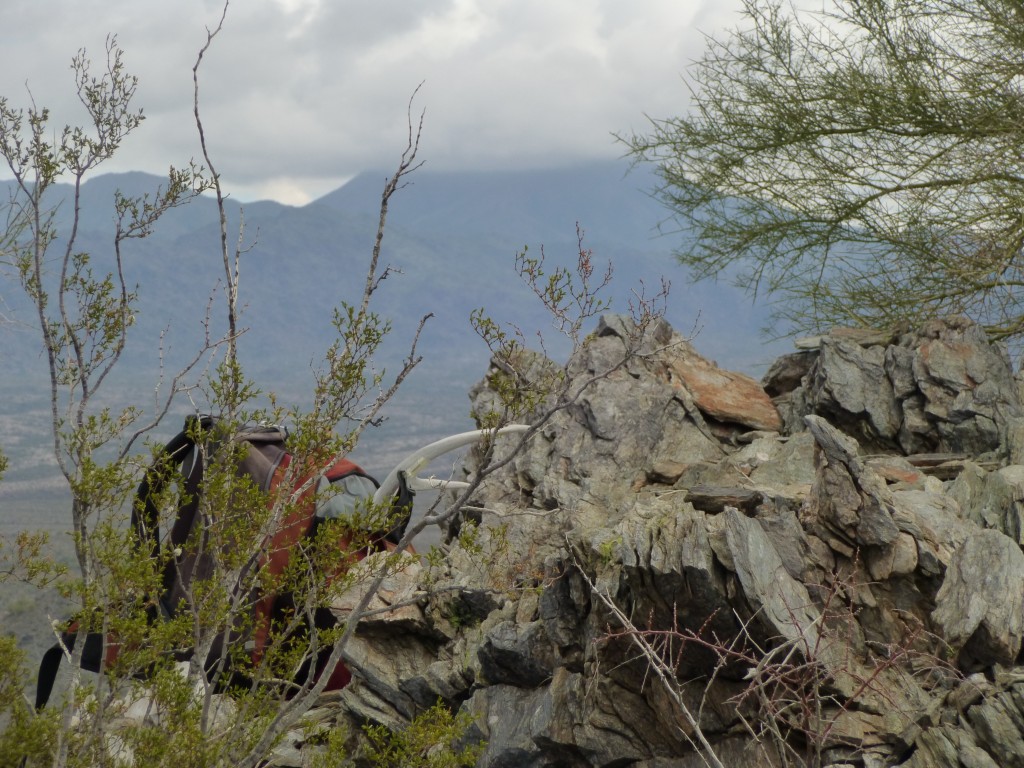
The weather still seemed a bit iffy, mixed cloud and some sun. I left the mountaintop, winding my way down the west ridge, and arrived at the valley floor. Stopped for a drink, then continued up my next objective, Peak 2508. When I got to the top, I had a good look around. There was no register, but migrants had been there. An hour and twenty had passed since I left my truck. This picture shows the outcropping on the summit. Look closely and you can see something dark on the left side near the highest rocks..
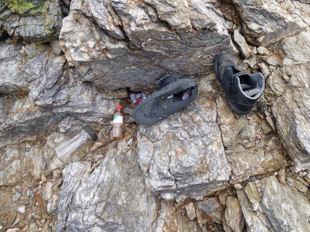
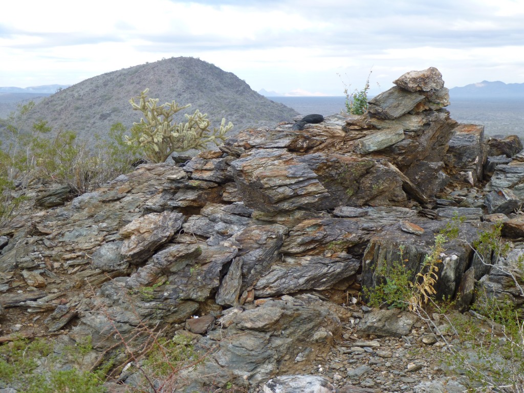 I went over for a closer look and realized it was a pair of shoes that had been left there. The soles were worn completely through. I felt sorry for the guy – unless he had another pair, he was in a pickle. You just cannot walk through the desert in your socks – the ground is covered with sharp stuff that will cause you a lot of pain when it embeds itself into your flesh.
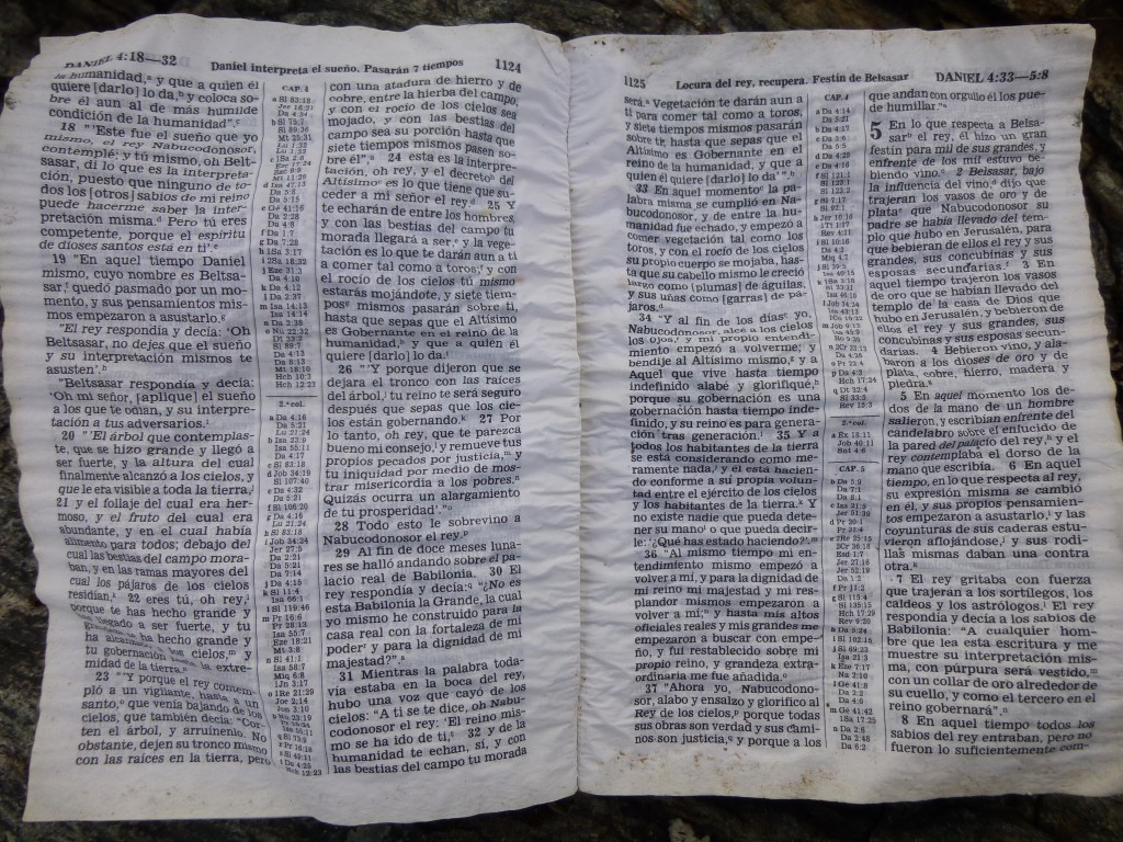
I found something else up there – a Spanish-language bible. Hopefully it had given solace to some poor soul as he or she trekked through this unforgiving terrain. Examining it made me try to understand what they must have been feeling as they waited up there. I wonder why it was left behind.
From the top of 2508, I had a great view to the southwest, to a prominent notched peak called Squaw Tit, not to be confused with the double summit called Squaw Tits which was farther north. Both peaks were in the Sand Tank Mountains, though.
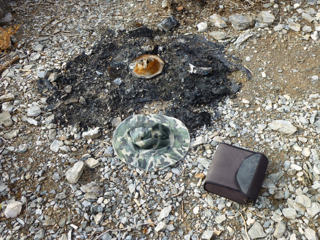
Well, this peak had been pretty interesting. I still had miles to cover, though, so I decided it was time to hot-foot it out of there. The south slope was pretty steep, but, going carefully, I made it down to a saddle, then over an intervening hump. When I made it to the top of the next summit, I was in for a surprise. This was Peak 2567, the second-highest in the group. No sooner had I leveled out on the long flat top than I saw a lot of trash nearby. This was different than the earlier peaks, though. Right away, I could tell that a lot of people had spent time on this one. Some stuff was out in the open, such as this binocular case, hat and stove base.
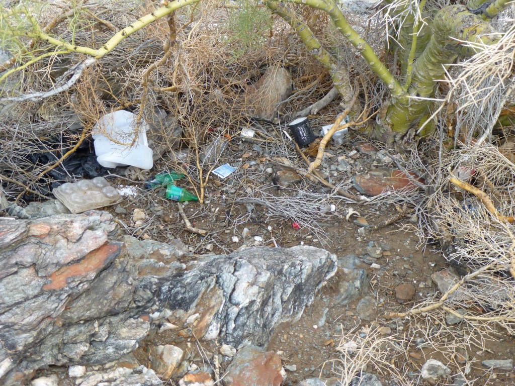
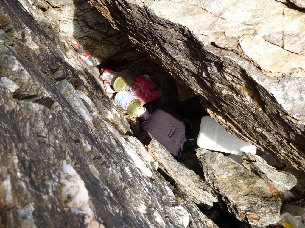
 One thing that quickly caught my eye, though, was a couple of deep crevices in the rock. All manner of items were stuffed into these, such as food cans, water jugs, fuel bottles, clothing, footwear, even another binoculars case. It seemed like it had been done to hide it from being seen from above, from a plane or helicopter, although anybody walking the mountaintop would easily see it.
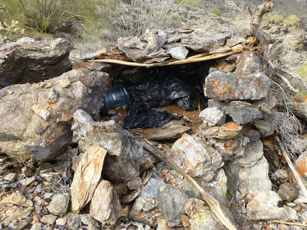
The last thing I saw up there was a shelter that had been constructed of rocks and the ribs of saguaro cactus. It had room enough for 2 or 3 people to sleep in, maybe a few more if it were just used as a hiding place.
The highest point of this peak was at the southern end of the flat top, but I could find no register there. Perhaps the entrants who had spent time on the mountain top had removed it. I had, however, found one on the previous peak. I still had a lot of ground to cover, so I dropped south from the summit and made my way to the valley bottom. Crossing several furrows in the head of the valley, I then started up my final goal, Peak 2500. The summit was cool and windy, and offered up another register, left in 1995, as was the one on Peak 2508.
I signed in and headed out right away, dropping down the north side of the peak. All day I had been making my way through this group of mountains, thinking about a task waiting for me. Once off the mountain, I made my way over to a nearby saddle. This was the highest saddle around Peak 2380, my first peak of the day. I spent some time there, letting my GPS settle so I could get the most accurate reading possible. My hope was that, taking into account the reading I made on top of 2380, I would realize a difference of at least 300 feet. Well, for what it’s worth, I came up with 311 feet. Not that the readings from a civilian GPS are state-of-the-art accuracy, but it was the best I could do. So I concluded that Peak 2380 had at least 300 feet of prominence, making it a true summit by U.S. peakbagger standards. To many of you, this may seem like much ado about nothing, but we peakbaggers live for this stuff – we are true mountaineering nerds!
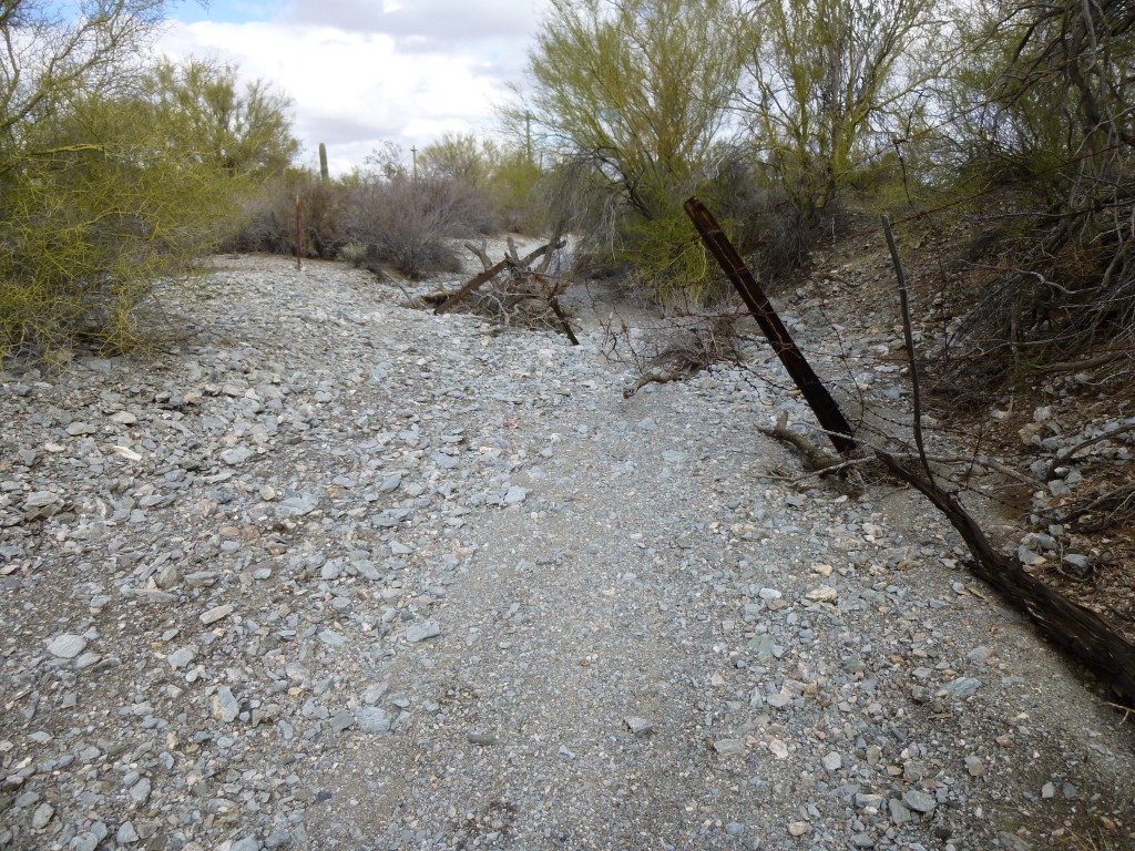
It was all over but the shouting. Now, all I had to do was make it back to the truck. Nothing for it but to walk downhill and enter a wash and follow it east, then swing around and head north. This went without incident, and about the only thing of note that I saw en route was where a fence crossed this big wash I was in. Keep in mind that this wash was probably 50 feet wide and was bone-dry at least 99.99% of the time. But, during the exceedingly rare times when water is running in it during a big storm, it can be very powerful. This picture shows a fence running across the wash at an angle, from near me on the right to farther away on the left. Fence posts have been knocked down, and all manner of debris is tangled in the barbed wire. In the desert, where fences cross washes, they are often destroyed by flash flooding.
Two miles of walking in the wash brought me back to my truck. Although it had become sunnier during my 4 1/2-hour trek, more clouds were moving in. There was another peak all the way around the other side of the White Hills that I wanted to check out. The day was wearing on, but if I could climb that one today, I would be done with the range once and for all, so away I went.
Although earlier in the day I had approached within 0.7 miles of my last objective, I now had to drive a total of 12 miles around, some of it on pretty rough roads, to approach it from the west. I didn’t climb it earlier because it would have added an awkward extra leg to the day’s first outing. As I drove out there, I crossed into the bombing range.
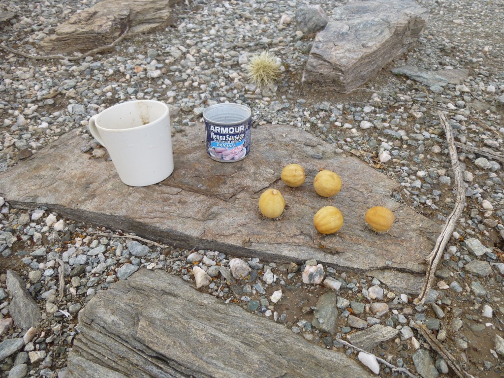
I finally parked between Ormall Tank and White Tank, two remote watering holes. The weather was threatening so I headed out without a pack to make better time. In less than an hour, I stood on the top of Peak 2580. My idea was to check its height against a nearby saddle, to try to determine if it too had 300 feet of prominence. Well, assuming the GPS wasn’t lying, the readings showed me that it wasn’t even close. Sorry, Peak 2580, no cigar. When I was in the saddle, I found signs of border-crossers who had been there, no big surprise. The yellow things looked like some kind of little gourds.
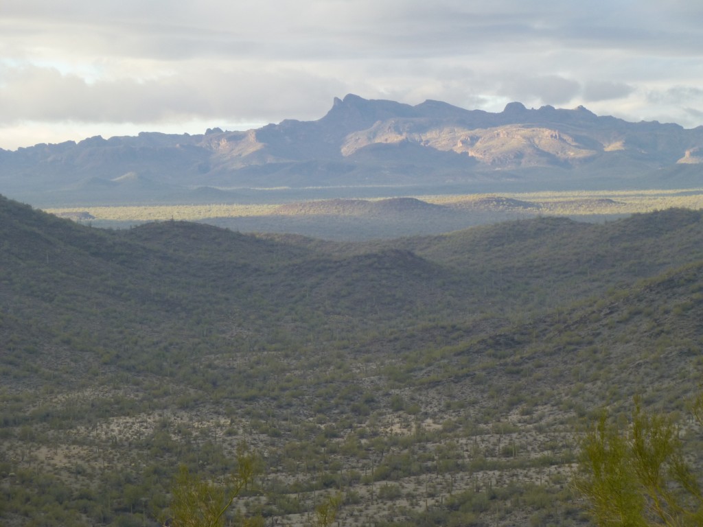
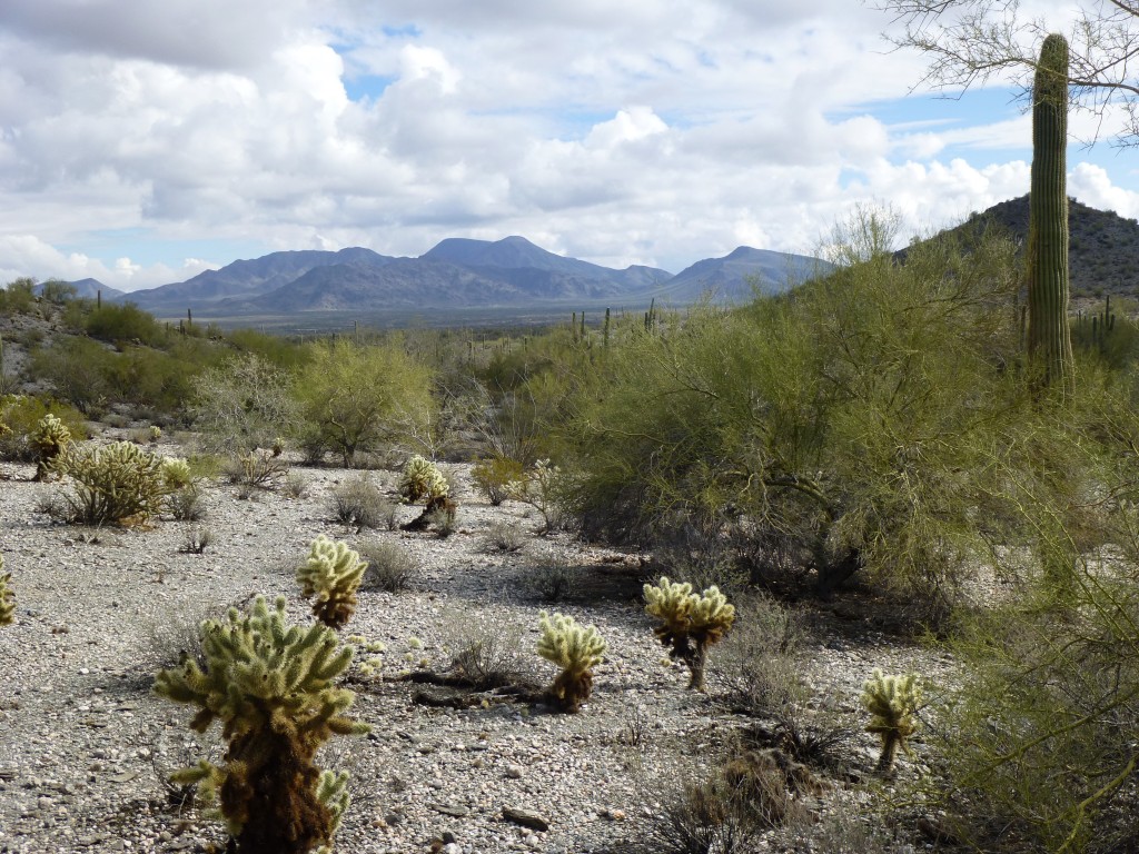
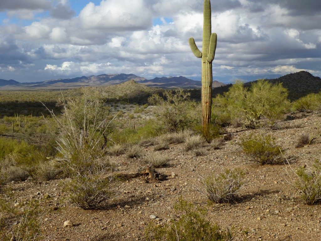
As I started back to the truck, I felt a few drops of rain. Winding my way down a wash through brush and rocks, more drops fell. By the time the truck was in sight, the heavens opened and I got soaked to the arse in a cold rain. Hey, it was a small price to pay for such a great day of getting to do what I love so much. Fortunately I always carry a change of clothes in the truck, so I got dry and warm as the rain pounded down. On the drive back out, the weather started to improve, and I was treated to another beautiful desert panorama.
I am grateful every day for the opportunity to freely visit such beauty. Long may it last.
Please visit my Facebook page at https://www.facebook.com/pages/Desert-Mountaineer/192730747542690

