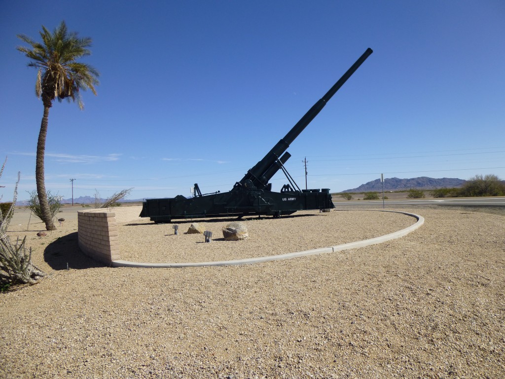
Once a year, if I am lucky, I get to go on a special climbing trip. That time had come again. I was to meet up with my friends Mark and RHiker, two kindred stealthing spirits. On a perfect Saturday morning, I left home and headed north to Casa Grande, then west on Interstate 8. The weather was perfect. I was practically drooling as I drove past range after range of mountains with names like Table Top, Maricopa, Sand Tank, Gila Bend, Painted Rock, Crater, Aguila, Agua Caliente, Granite, Palomas, Mohawk, Copper, Cabeza Prieta and Gila. They were all familiar to me, old friends I had spent time with over the last three decades. But this was not the day to linger with them. I was on a mission, to climb my brains out in other ranges. I finally reached Yuma, at the California border, and drove north on U.S. Highway 95, stopping at Imperial Dam Road. We had agreed to meet here, “by the big cannon”.
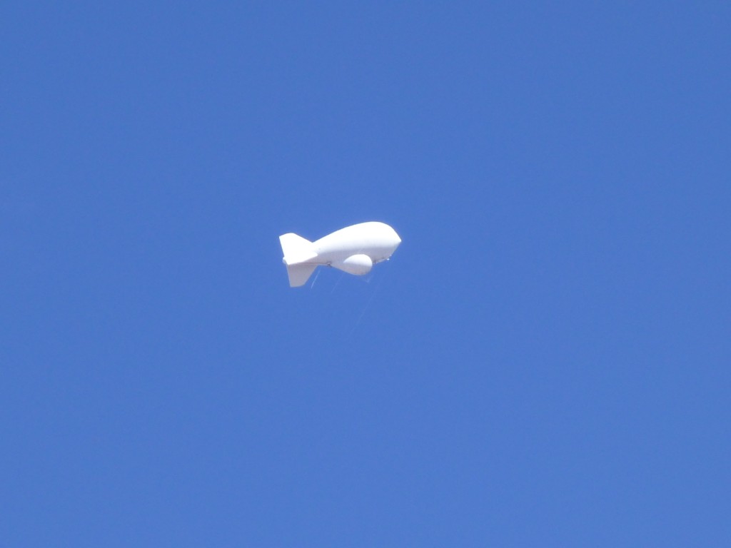
I didn’t have to wait long before Mark and RHiker arrived in RHiker’s Toyota. It was great to see them again – it’d been a whole year since the last time. Now in radio contact, we took off and headed north. A paved road led us northeast away from the highway and below the blimp. This is one of three along Arizona’s border with Mexico – they try to spot low-flying aircraft sneaking over the border with drugs.
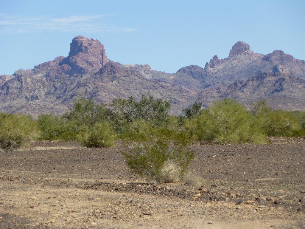
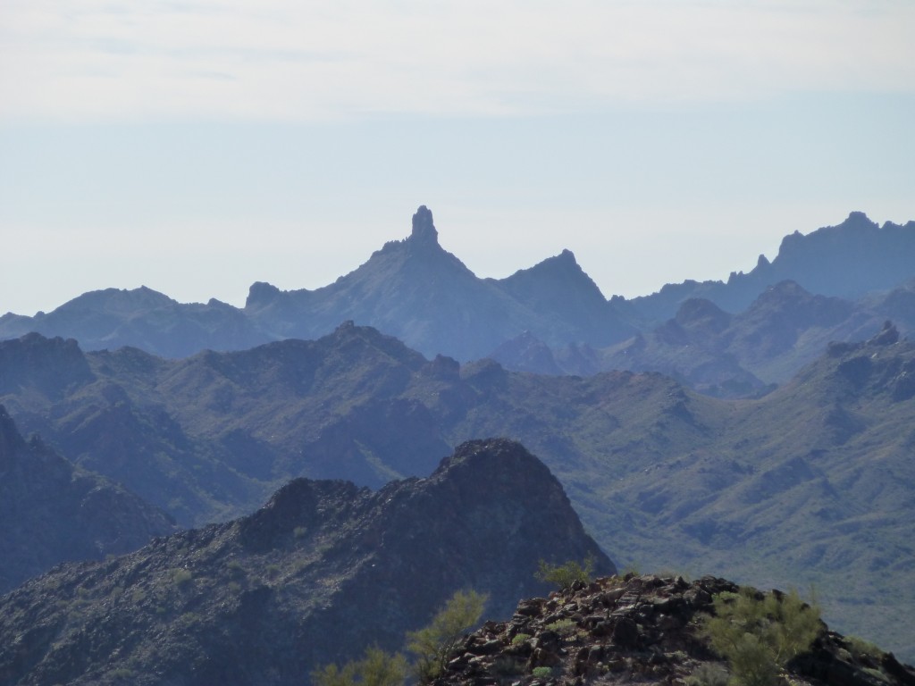
They are tethered, and ride about ten thousand feet above the ground, ever-vigilant. The pavement ended near here, and we pushed on, soon entering the Kofa National Wildlife Refuge. Here is a shot of Castle Dome Peak (on the left, the namesake of the range we were about to enter), and “The Blade” (on the right, never climbed).
This area is rich in mining history, but, alas, we had no time to stop and enjoy it. Continuing north along the edge of the range, we passed some amazing peaks. So many mountains, so little time.
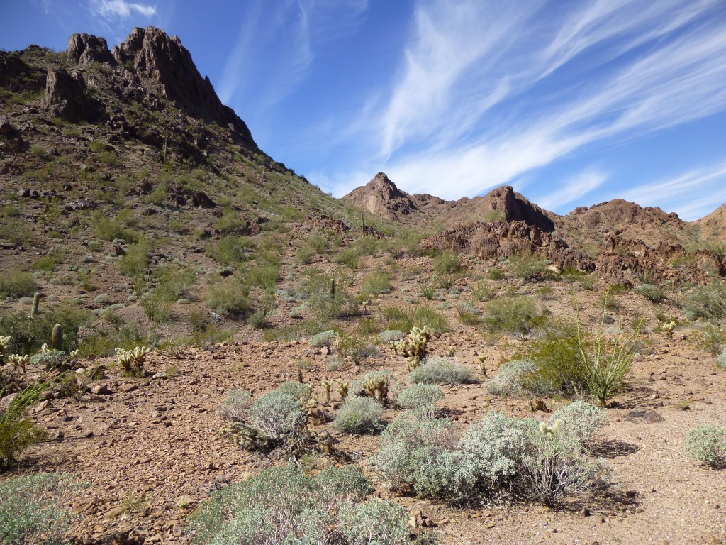
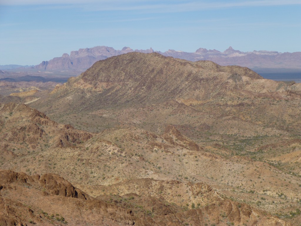
After driving for 23 miles, we parked just off the dirt road in a rugged area smack in the middle of the Castle Dome Mountains. It was early afternoon and 60 degrees on a picture-perfect day. Beautiful mountains were all around us.
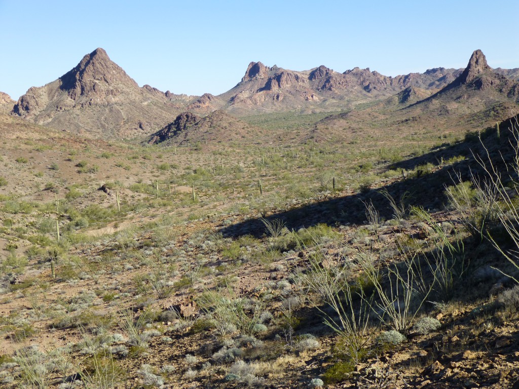
We grabbed our packs and headed out to climb nearby Peak 2683. On the way to its double summit, Clifty Benchmark could be seen miles to the north.
We found a register on the summit and signed in. It didn’t take us long to work our way back down to the trucks, then continue north through McPherson Pass. A wide sandy spot in McPherson Wash provided the perfect place to camp for the night. We gathered wood for a campfire, but the real task at hand was the great tradition called Happy Hour. Out came the lawn chairs and the adult beverages, and we watched the sun set on the nearby peaks.
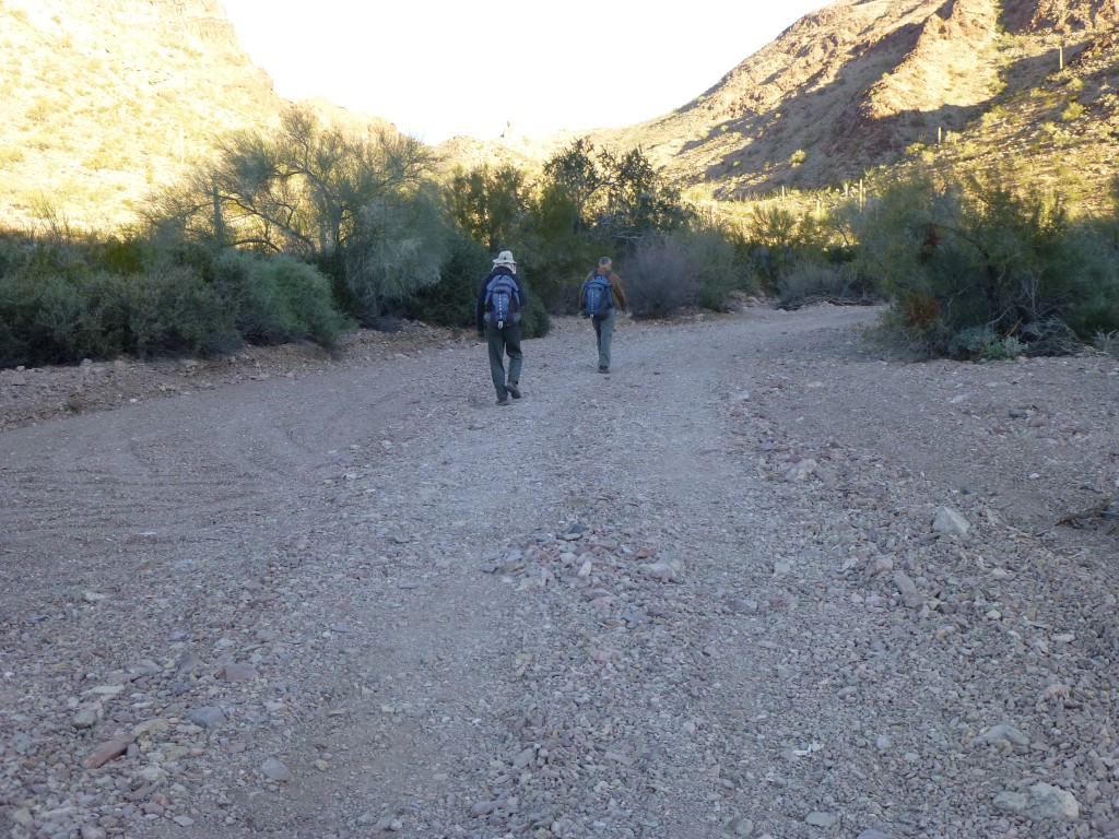
It was a perfect starry night – we drank, then fixed hot food and enjoyed the fire for hours. The next morning, we arose to a 35-degree temperature, low enough to leave frost on everything sitting out. Once our gear was stowed away safely inside the trucks, we shouldered our packs and headed out.
One great thing about today was that we were winging it. Not sure of how the day would go, we decided to first climb a nearby mountain which was simply known as Peak 2850. To begin, we walked down a wash, then up a different wash, then left the easier ground and side-hilled up a steep, loose crappy slope to gain about 700 vertical feet. This placed us on a nice, open ridge which we followed for quite a way, about 7/10 of a mile, bringing us to the summit. I recall that we had barely arrived when Mark excitedly said “Look, sheep!” Sure enough, there they were on a steep crag below us, moving quickly to round a corner and disappear from sight. All I saw were two sheep bums, one ewe and one lamb, but Mark saw at least four and had a better view than we did. It’s always exciting to see bighorn sheep in the desert, as it’s got to be a hardscrabble living out here for them. As long as they are out here, then we haven’t quite destroyed everything.
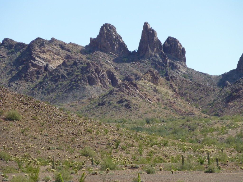
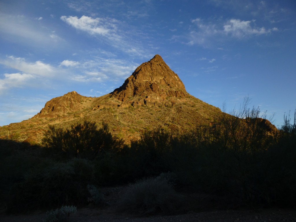
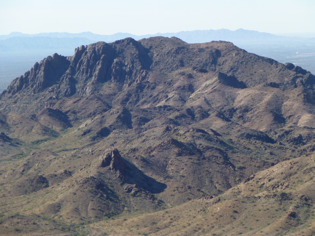
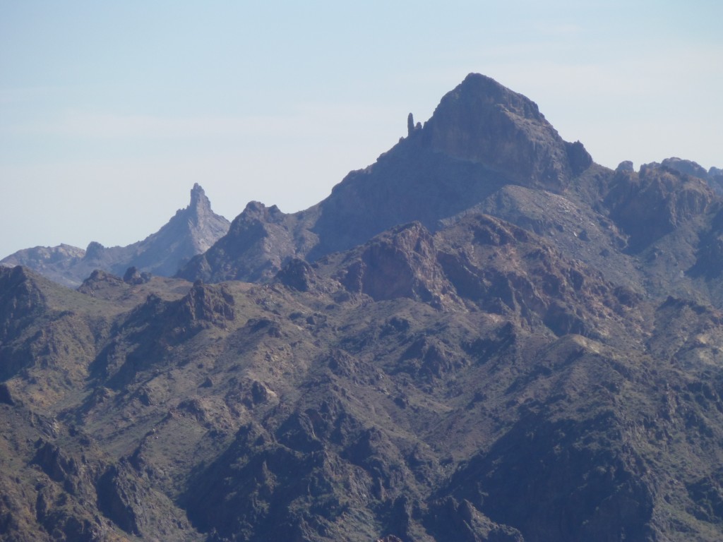
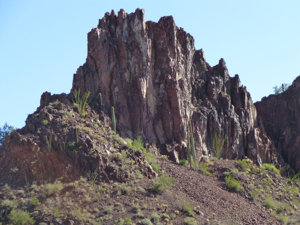
We found a cairn and register and signed in. As we sat there eating a snack, we had a decision to make. Certainly, we had to climb something else, as it was only about 9:00 a.m. One possibility was a nice peak back by our campsite, but somehow that didn’t seem too fulfilling. There was another choice, a peak to the west, higher and more rugged than the one we were on, but we had partly talked ourselves out of it – to even get to the base of it, we would have to cross miles of tortured country. Once there, the route to the top was far from certain. Even after glassing all of the intervening ground, there were still doubts, but what the heck, we had to do something worthwhile with the day, right? So, in a unanimous decision, it was a go for Peak 3070. Before we left, though, I was glad I took these next photos. This first one was “The Blade”, seen from the north – amazing.
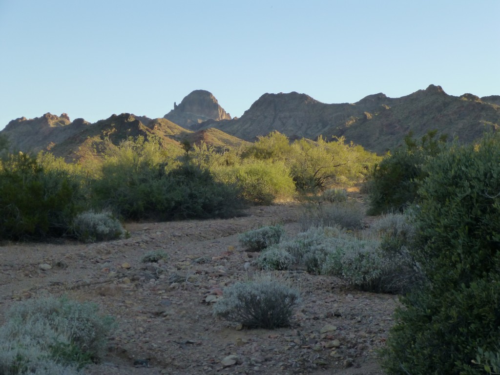
This next one is a photo of Peak 3070, as we were looking at it and making our decision to go over there.
Heading south back down the ridge, we picked a spot to drop down into the valley below. The descent turned out to be a lot of cliff-dodging, and we were glad to reach the bottom and the no-name wash a thousand feet below. After a bit of a breather, the fun began. It was a roller-coaster sort of place, this valley bottom, a series of big bumps. You’d go up 100 feet, then down 150, then up 200 and down 200, over and over until we reached the other side of the valley. Tiring and annoying. We finally worked our way into a canyon bottom, and took stock of our situation. Big cliffs towered over us and really limited our view of where we were and where we still had to go.
Out came the ol’ GPS and it pin-pointed our position soon enough – it was instrumental in helping us decide which branches of the labyrinth to follow. Here is a shot of Mark and RHiker pondering which way to go next.
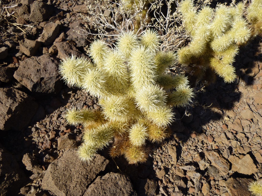
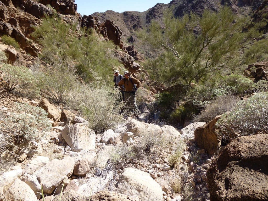 We stopped for lunch. Our canyon rose steeply above us – there were still a few question marks, but it was going well. At a thousand feet above the deepest part of our canyon, it got really steep. Negotiating some Class 2-3 ground, I was paying attention to the rock and not enough to the rest of my surroundings when I did something really stupid. I yelped when I felt a pain in my right hand, and discovered I had just lost an argument with a teddy-bear cholla cactus. Here is a close-up of one of the little bastards.
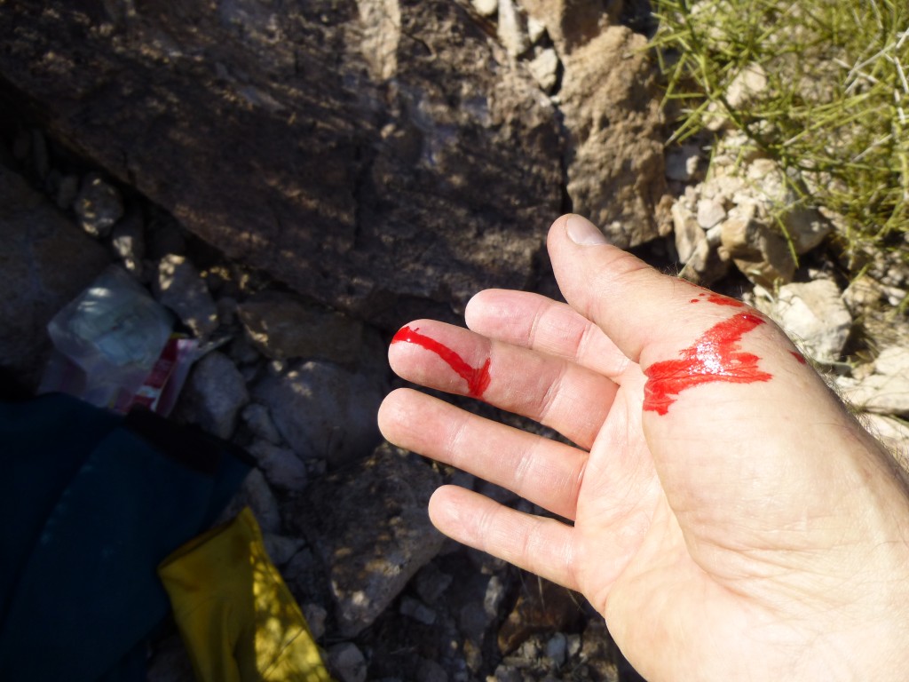
Each of the segments of the cactus is about three inches long. At the slightest touch, it comes off the main plant and the spines embed themselves into your flesh. Each spine has a microscopic fish-hook barb on its end which penetrates deeply into you. Getting it off of you is a problem. RHiker helped me, using two rocks to clasp the sides of the cholla segment and yank it off. In doing so, it flipped and stuck into him. We got it off him, but I still had dozens of spines sticking into the meaty part of my thumb and into some fingertips. It is not an understatement to say that when you pull out the spines, you will feel some serious pain, and you will bleed. And the spines are difficult to remove, as the fish-hooks hold them in really hard.
Dealing with one of these is a traumatic experience. My hand hurt for days, and was still bruised a week later. Mark had been waiting a hundred feet higher, and we climbed up to rejoin him. We had now made it through the steepest part of the canyon wall, and together passed over a small saddle and up the last 400 vertical feet to the summit. It was 2:00 p.m.
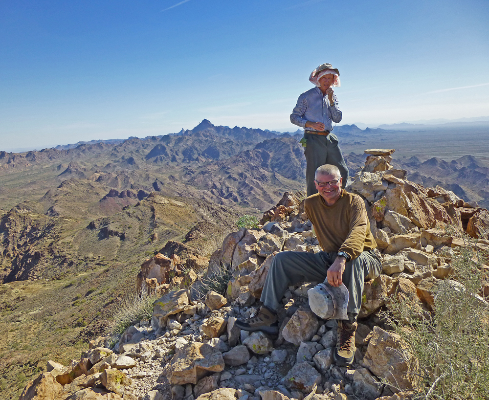
What a place! A cairn was already there and a few had signed in to the register before us, but that was okay – it just felt great to finally be on top. We took the requisite photos and enjoyed a break.
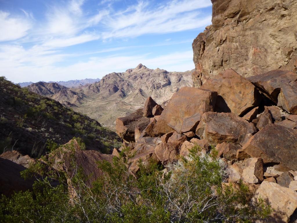
It turns out that our route was the only sensible way to approach this peak – any other was much longer and more time-consuming. After a bit of discussion, we decided to try a different way down, a more direct way back to camp – on paper, at least, it looked better. Here is another view from the top.
On the map, it appeared that to get back to camp all we had to do was follow a series of ridges and a few washes, and, Bob’s your uncle, we’d be back at camp. It should save us hundreds of vertical feet of climbing and a mile or two to boot. Feeling pretty good about our cleverness, we set out again.
The first part went okay – fairly easy slopes took us down several hundred feet. There were even a few game trails (probably left by sheep, deer and javelina) which we gladly used. We were stylin’. However, after a while, our easy ground changed. Steeper terrain forced us down some canyons, and we had to fight harder to make progress.
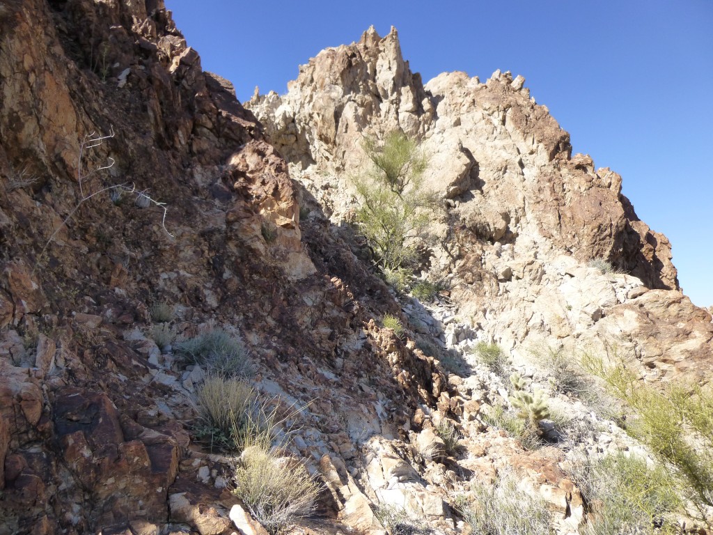 There were good spots too, and hey, it was a glorious day, so we just kept going. In the photo below, notice the gloves. Even on a hot day, some protection against the evil teddy-bear cholla!
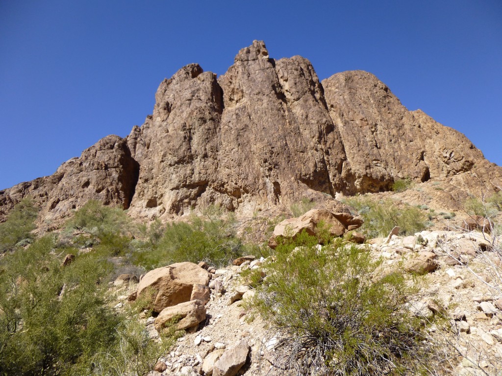
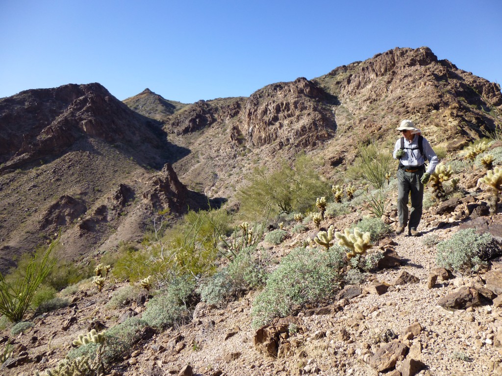 The area was replete with beautiful desert scenery, and we enjoyed every bit of it.
At long last, the steep parts were behind us. One long wash promised a nice walk through the desert back to camp, and it delivered.
I must confess that by the time we got back to camp, my dogs were barkin’. I was glad we were done. All told, our day had amounted to nine hard-fought desert miles with 3,470 vertical feet of elevation gain. There was still one more thing to do – move camp. We wanted a place where the rising sun would hit us earlier for a more pleasant start – hey, we’re old!
Ten minutes of easy driving took us out of the range and on to the open desert at 1,650 feet elevation, just before the sun set. Ice-cold suds were in order even before setting up camp and building a fire. It had been a great second day of our trip, and we were mighty pleased. Stay tuned for the next part of the trip, which I will call “Tank Mountains”.
To be continued…………………………………….
Please visit our Facebook page at https://www.facebook.com/pages/Desert-Mountaineer/192730747542690

