Whatever had possessed me to climb these peaks at this time of year? Yes, it was already October 7th – you’d think the weather would be cooling down by now. It wasn’t, though – today had been a real scorcher, dangerously so. Leaving Tucson early in the morning, I had driven the requisite 100 miles west to the town of Ajo. There, I had topped off my tank with gas and had also bought a huge 64-ounce coke with lots of ice, then started to drive the fabled Camino del Diablo. They don’t call it the Devil’s Road for nothing – it slices through the most remote chunk of Arizona, and for hundreds of years people have been dying along its parched length. To drive it today, from Ajo to Yuma, you will cover 140 miles of harsh desert, little changed from centuries ago. Not a single soul lives in that vast area. Nowadays, it is a rough dirt road. You need a permit to drive it, and to get that permit you need a four-wheel-drive vehicle.
I knew it was going to be hot – the forecast had warned me, but for some reason I thought that the heat wouldn’t be as oppressive as earlier in the summer. As if 100 degrees somehow wouldn’t feel like 100 degrees. That was my first mistake, taking too blasé an attitude toward the heat. Instead of hydrating properly, I drank that big coke as I drove the 33 miles from Ajo. Yep, a real brainiac. Finally, I arrived at a nondescript road junction out in the middle of the Growler Valley. This was the boundary between the Organ Pipe Cactus National Monument (which I had just left) and the Cabeza Prieta National Wildlife Refuge. What I did next, you’re not allowed to do today – I drove south from the Camino another 2.6 miles, then parked. Now in the refuge, I would spend the next few days in an inferno.
I hauled my mountain bike out of the back of my Toyota pickup. The tires looked good, I had a pump and spare tube and tools, so everything looked good to go. I loaded up my day pack with some gatorade and a bit of food. My plan was to ride the bike along a faint bit of a road which headed over to a remote mountain range – this was way back in the day when they didn’t care about using bikes along these lesser roads off the Camino. It had been quite a while since I had even ridden a bike, so I was hoping it would be a good experience.
My first mile took me southwest to something called José Juan Tank. In years past, someone had bulldozed an earthen berm across a branch of the mighty San Cristóbal Wash, which created the tank, a water-hole in the desert usually for cattle. It had been a great many years since any cow had set foot in the area, probably none since the Organ Pipe monument had been created. The road temporarily vanished as it approached the tank. I got off and walked the bike through an area of tall grass where water had once stood. Much to my surprise, I heard a rustling noise all around me, and then saw movement everywhere. It freaked me out for a moment, until I realized that the place was crawling with Colorado River toads. These creatures can be as large as 8 inches (body size, not counting legs), and secrete a poison that can easily kill a dog if it comes in contact with its mouth. They moved away from me as I passed by, scurrying deeper into the grass.
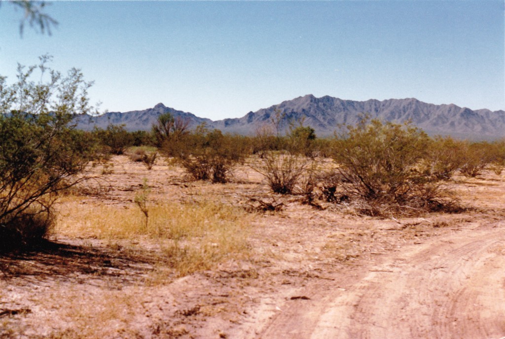
Once past the tank, I began a long uphill pedal towards my goal, the Agua Dulce Mountains. It was 7.3 miles, but with only a 300-foot elevation gain, to the point where I ditched the bike. I knew that there was zero chance of anybody else coming by, so I just left the bike on the side of the road. This spot was a mere 1,400′ elevation above sea level, and pedaling to this point had taken an hour and a quarter. It was early afternoon and it felt really hot – the rest of this climb was going to be no picnic.
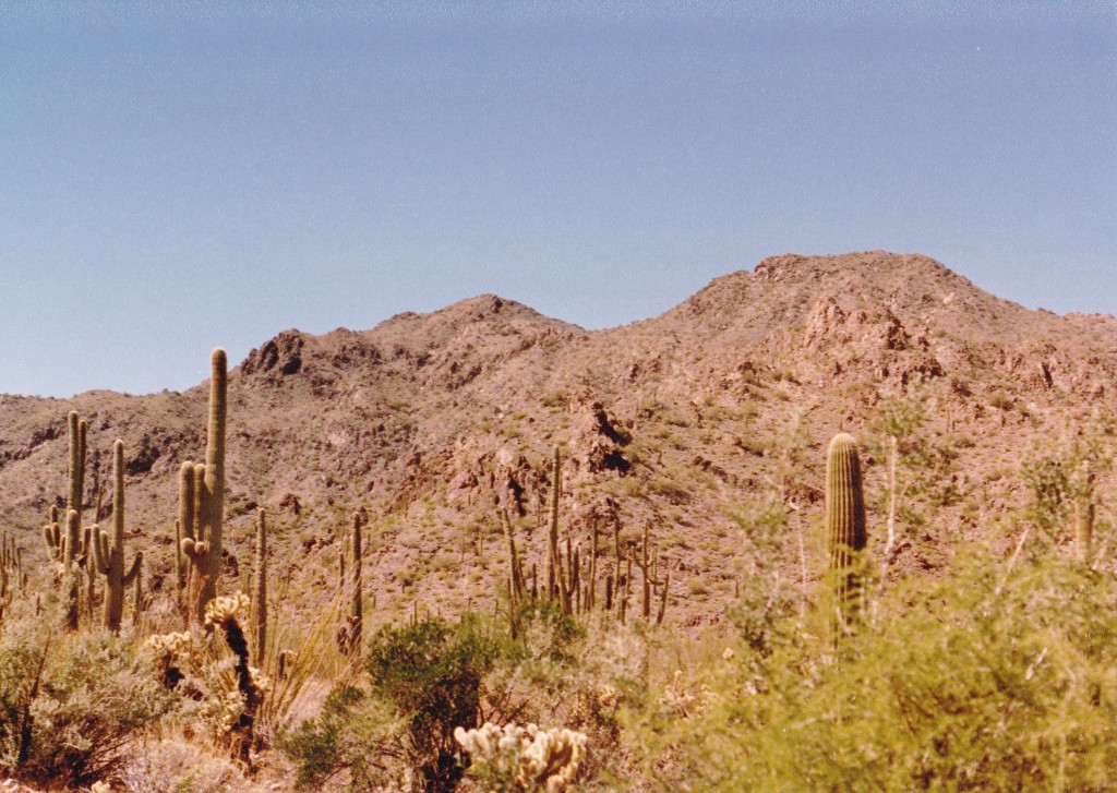
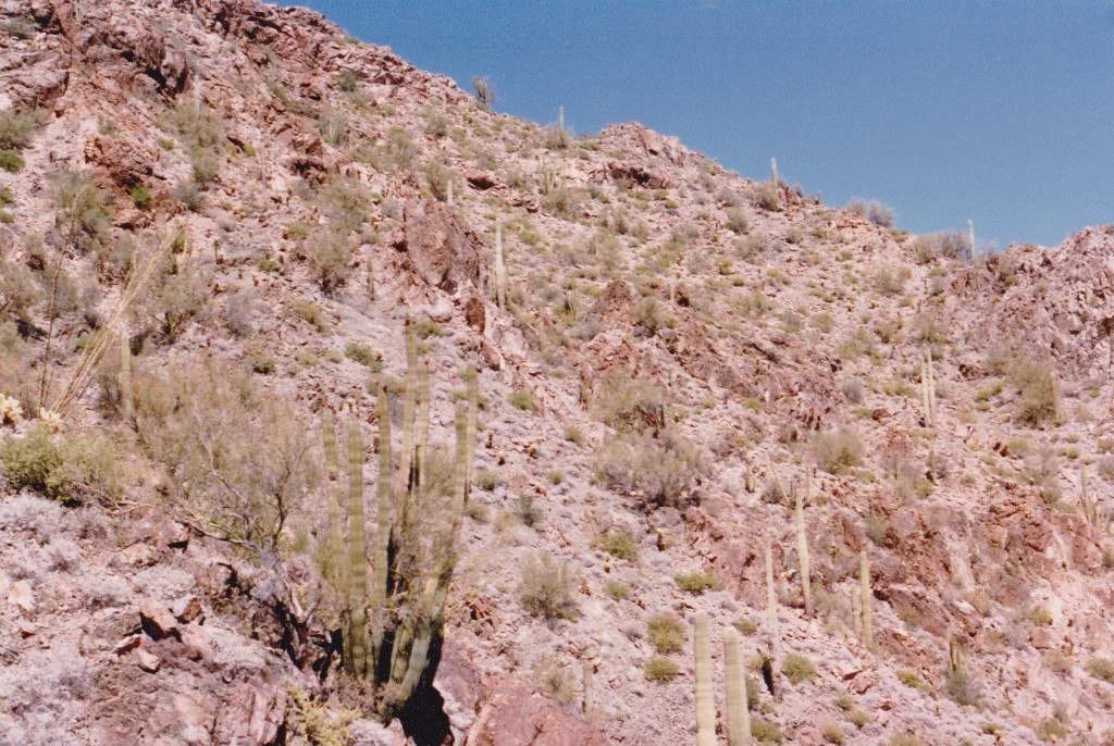
I left the road almost immediately and started up a rough ridge. There were all kinds of small bumps to go over, and even a good-sized one at 2,689′. By the time I finally stepped on to the summit, I had used up 2 1/2 hours of precious time. There I was on the highest point of the Agua Dulce Mountains, a peak called Quitovaguita Benchmark, elevation 2,850′. I can’t remember if there was a register there or not, but I signed in if I found one. I also know that I didn’t linger.
One thing was certain, I wasn’t going to retrace my steps down that same ridge – it was way too rough and burned up too much energy and time. Heading straight east down a different ridge, I reached a spot called Agua Dulce Pass, where I picked up the old road and walked down it an easy mile. My downhill time was only half of what the uphill climb had taken. That bike sure looked good when I found it. I hopped on board and away I went, all downhill back to the truck and done in just over an hour. Man, I felt like hammered dog shit by the time I finished pedaling in that heat.
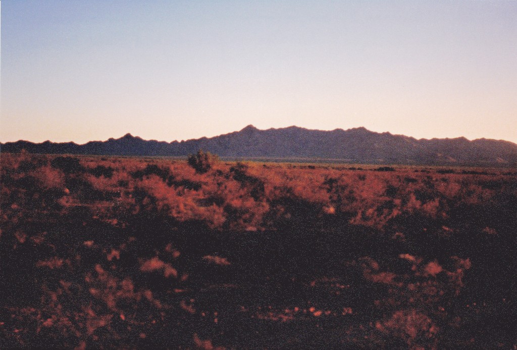
At the truck, I drank a lot to make up for what I knew I had lost during the day. Loading up the bike, I drove back up to the Camino, then headed west into the sunset.
I hadn’t gone far, maybe a mile or two, when I was hit with a sudden bout of leg cramps. It came on very quickly, with no warning at all. Both calves cramped up at the same time. When I get a cramp, the muscle forms a rock-hard knot, and it’s agony. Quickly putting the truck into neutral, I rolled to a stop, opened the door and pitched out on to the dirt. I remember screaming at the top of my lungs, trying to massage the knots out of the calf muscles. It took a while, and I was totally spent when it was over. I lay there in the dirt, soaked in sweat, tears running down my face. It was obvious I had become really dehydrated. Thankfully, these cramps hadn’t happened way back on the mountain, or I could’ve been really screwed. It scares me when I think back on that possibility.
By now it was dark. Painfully, I continuing driving, going through Cholla Pass and Chinaman Flat, past Sheep Mountain and Papago Mountain, to finally arrive at Papago Well. I camped there for the night, nursing my wounds, hoping the cramps had taught me a good lesson. My trusty thermometer had told me it had hit 99 degrees today. Just too hot for this time of year. There were a couple more peaks I wanted to climb, but I was going to have to be very careful. The desert is a cruel mistress – push your luck just a little too far and you’re a dead man.
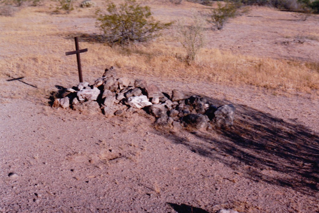
Damn, it was hot all night! Hard to sleep. Feeling really tired, I arose very early the next morning and continued west along the Camino. There were many miles to cover before I would be anywhere close to the next peak. It’s always sobering to pass O’Neill’s grave.
The Tule Desert was next, then the Pinacate Lava Flow. Once past the lava, then came the Pinta Sands, followed by many more miles of the Tule Desert. Finally, I drove along the northern edge of the Tule Mountains and found a side road which doubled back. In a gutsy move, I drove off the Camino and headed southeast on a lesser road. Several miles later, I stopped out on the flat desert floor at a benchmark marked 1,063′ elevation on the map.
Yesterday, my peak was only three miles from the Mexican border. Today, I was parked less than half a mile from la frontera. It was eerily quiet, already late morning and hotter than hell. The smart way to climb in this heat is to start on foot really early, but was I doing that? – noooo. I had a long way to go, and once again I was about to push my luck, because I was going to sneak across the border into Mexico.
To be continued …………………………………………..
Please visit our Facebook page at https://www.facebook.com/pages/Desert-Mountaineer/192730747542690

