There we were, staring into the abyss. The exposure was frightening, and we weren’t sure how to proceed, up here so close to the summit. But hold up a bit, I’m getting ahead of myself. Let’s start at the beginning.
A few years earlier, Peak 5420 had first caught my eye. Like so many peaks in Arizona, it had no name, not even a spot elevation. Its height interpolated to 5,420 feet according to the topographic map. I had had a glimpse of it late last year, during a failed attempt on nearby Thimble Peak. In fact, Jake and I had been together on Thimble, and we were determined that if we were gonna bust our humps to get in to this one, we needed to make it count.
May 24th would be the day, when it would only reach a cool 80 degrees F., if that. In late May it could easily top a hundred, but the weatherman had promised much less, so it was a perfect opportunity. We met on the east side of Tucson, then hopped in Jake’s car and drove the winding highway up into the Santa Catalina Mountains. Seven quick miles later, we pulled into the parking area at the ruins of an old prison camp. This camp was established so that prison labor could be used to construct the highway to the top of Mt. Lemmon. However, during World War II it was converted to a Japanese internment camp, and the detainees were forced to work on building the highway – a shameful time indeed in our history.
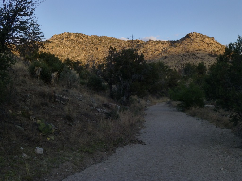
It was surprisingly cool as we shouldered our packs and set out, following an old road.
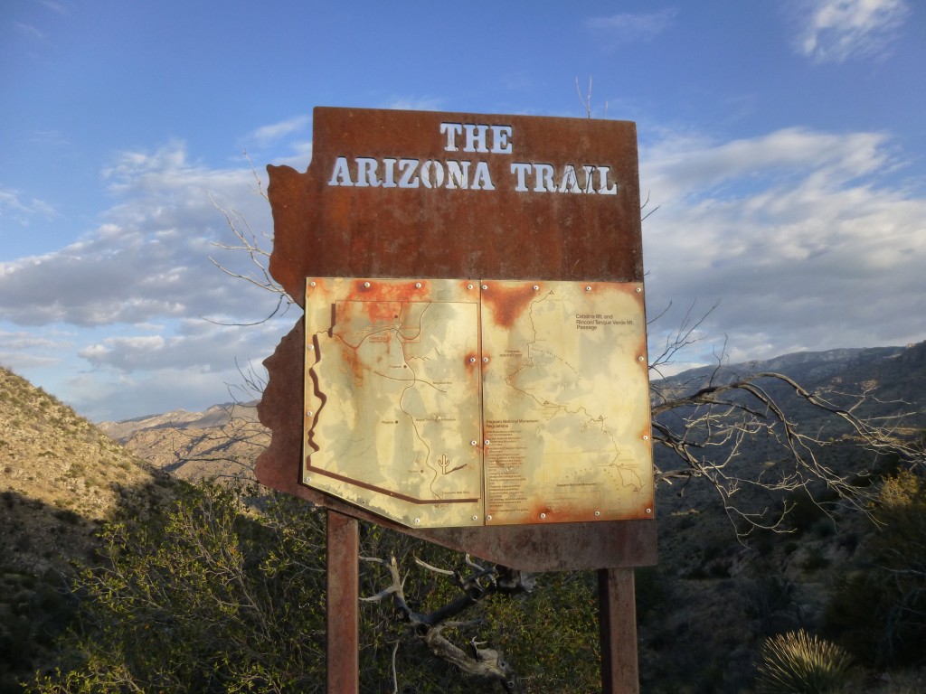
For a mile and a half, we walked through open country at about 4,900′ elevation until we arrived at a pass, marked “Shreve Saddle” on some maps. There, a sign greeted us.
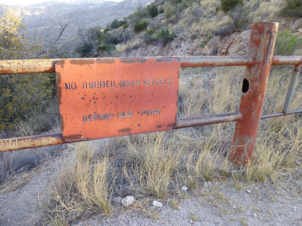
We realized we were on a segment of the Arizona Trail. It covers 817 miles as it runs north from the Mexican border all the way to Utah. At the saddle, we saw that there were two ways we could continue. One was the old road we had been following up until now, and a gate with this sign spanned it. “No rubber tired vehicle beyond this point”. Hmmm, what other kinds of tires are there – wood, steel? This also marked the boundary of the Pusch Ridge Wilderness.
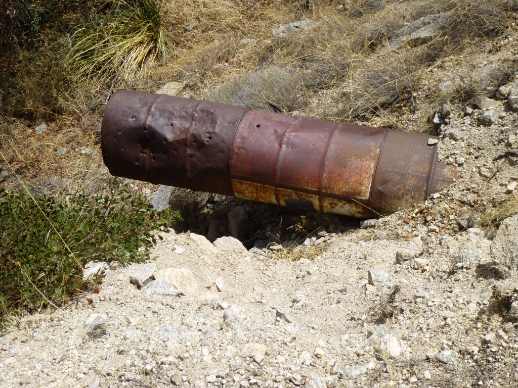
The other way was the trail itself, which was in good condition, and that’s the choice we made. We descended steeply for 600 vertical feet to arrive at something called Sycamore Reservoir. As we continued, in several spots we saw old metal culverts and concrete footings. Check out this photo – the culvert under the road is made from old fuel drums welded together!
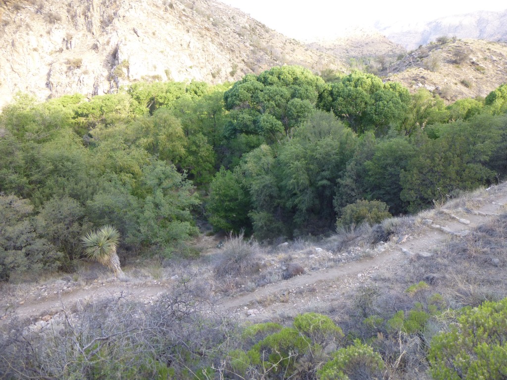
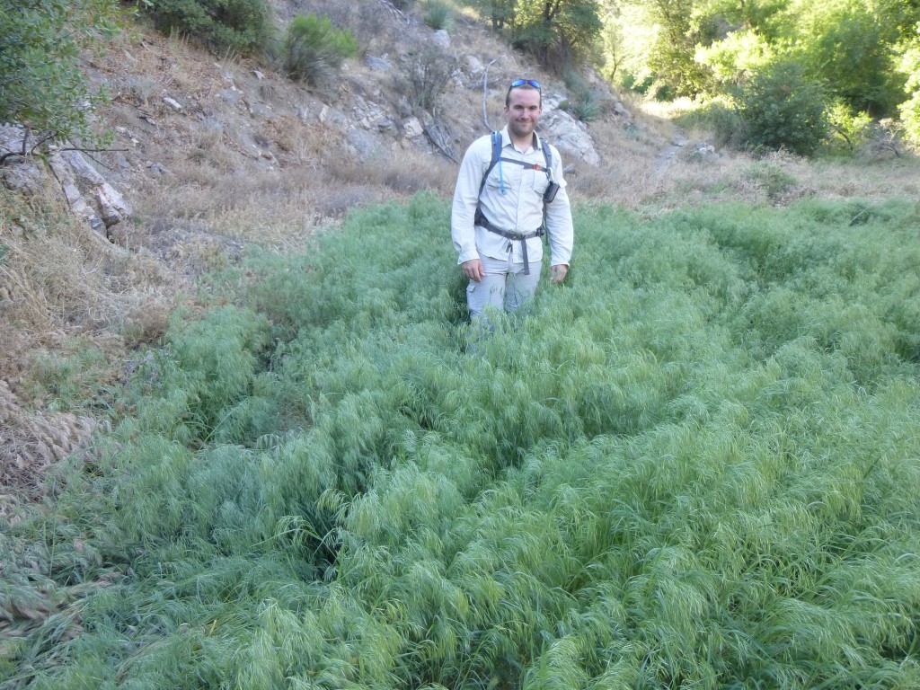
It was apparent that this route had been important in its day, but for what purpose? More research revealed that the reservoir had been built to provide water for the prison camp. I’m guessing that they trucked it up to the camp. There was a lot of vegetation visible as we approached the reservoir.
Although we didn’t actually see any water in the reservoir, there may have been some over by the dam, which we didn’t visit. Certainly there was some underground, and some might run on the surface from time to time, in order to support such a lot of trees and other growth.
From the reservoir, the trail continued gently uphill to the northwest for a while., then we left it for another which climbed uphill, gaining us almost 400 feet and putting us at a saddle above a minor fork of the Bear Canyon drainage. From there, we had a good look to the south to Thimble Peak (this is a bit of a telephoto, so it was farther away than it looks).
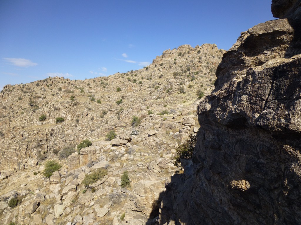
Our map showed that we weren’t far from the summit, but we still couldn’t see it. Instead, a steep rocky slope lay in our path.
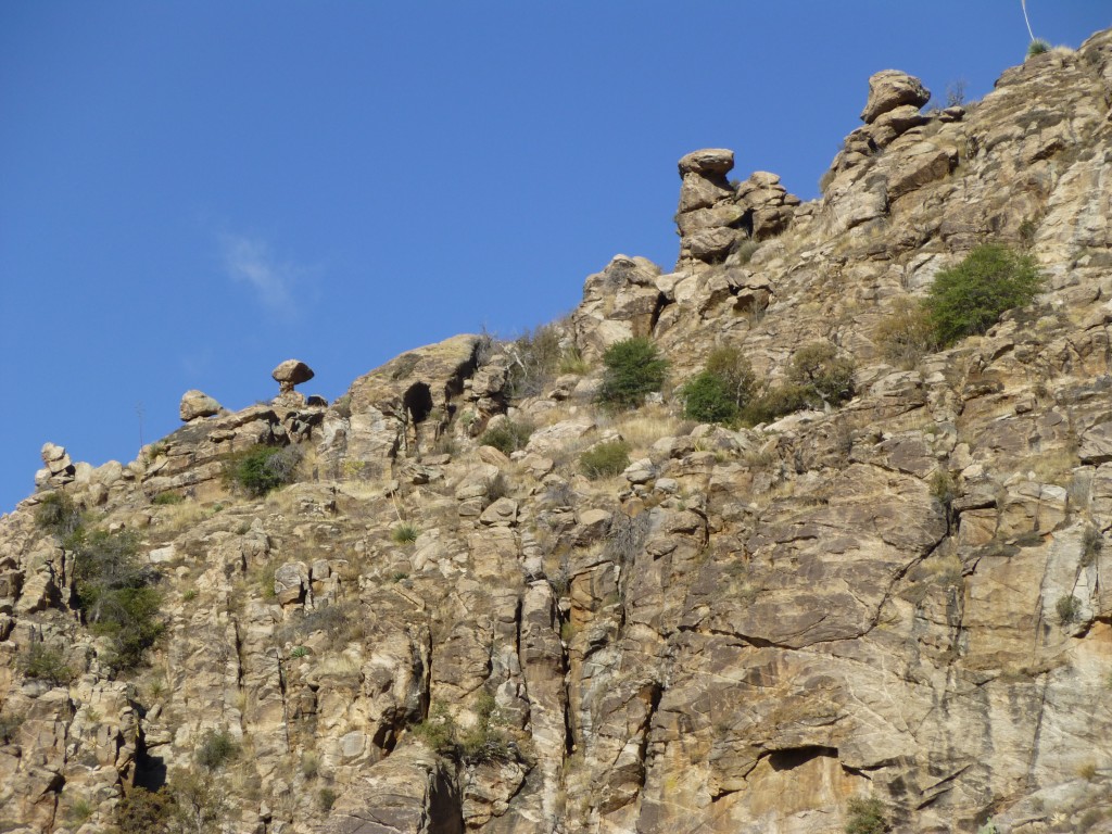
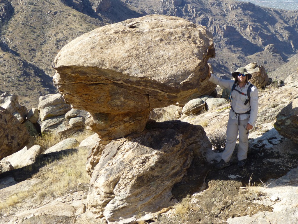
We passed a lot of interesting rocks, like this one.
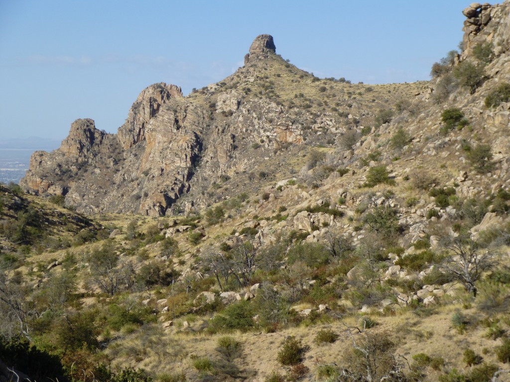
Up a little higher, and we had our first view of the summit area. It’s the sunlit double bump on the horizon, in the back to the right of center.
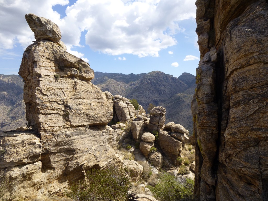
After some side-hilling and more elevation gain, now a thousand feet higher than the reservoir, we were right up near the top. There were several impressive pinnacles, such as this one.
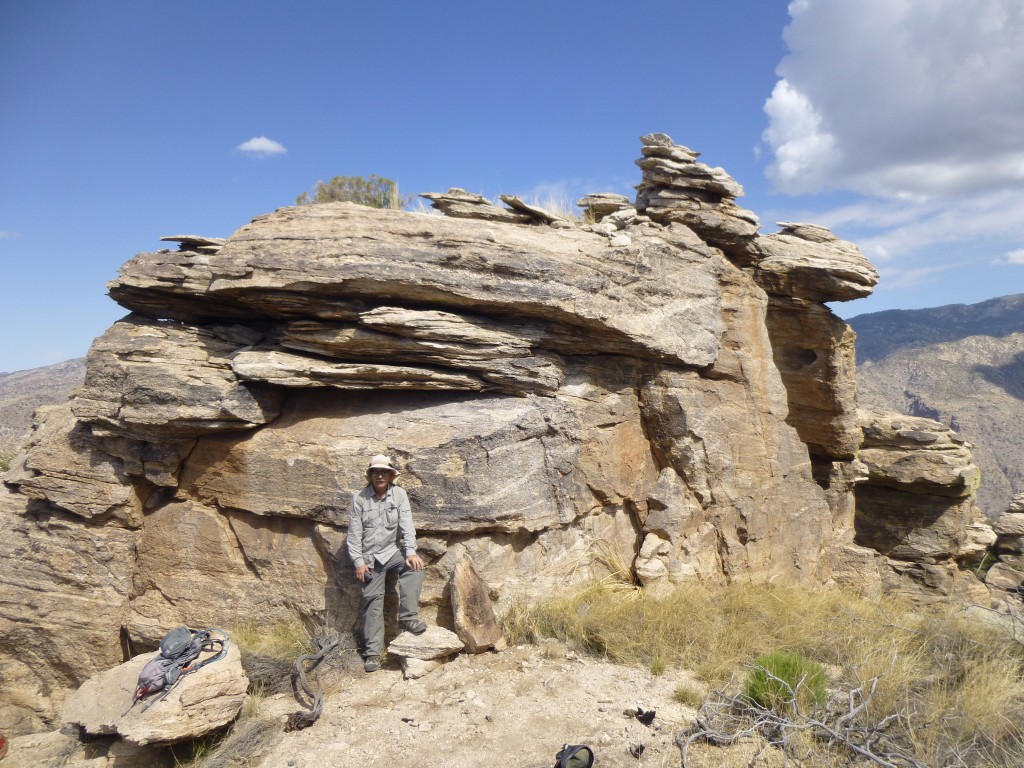
It didn’t take much poking around to learn that the high point was this block, and the very highest bit was the stack on the far right (which is natural, not man-made).
Two of our friends, Teresa Gergen and Andy Martin, had each climbed this one sometime in the past. Both of them had said the same thing: climbing straight up the front of it was more difficult but not exposed, while a less technical route went out on the left side but with some exposure. Sho’nuff, that’s exactly what we found.
First, we had a look at the route out on the left. The holds looked pretty good, very doable, but the drop-off was horrific. No second chances there – if you slipped, it was all over. Especially because we had no rope, harness or helmet – we couldn’t protect it, so a fall would be fatal. Turns out that both Teresa and Andy had climbed it this way, years apart. I took one look and chickened out, and Jake wasn’t too impressed either. I’m old, and I subscribe to the adage “There are old climbers, and there are bold climbers, but there are no old bold climbers”. But Jake is young, and has no such excuse. Nevertheless, I felt better when he too decided to avoid the left side route.
As you can see in the above picture, it’s barely fifteen feet from the ground I’m standing on to the flat area on top. Just because we could, the two of us wrestled a large rock over to the base and stood it on end (it’s to the right of me). We decided this would give us an easier start. I guess you’ve figured out by now that we’d chosen to go straight up the front of the thing. Jake volunteered to give it a go.
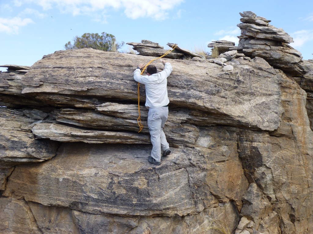
Standing on top of the rock, he was able to reach up to the middle area. The layers of rock there lent themselves to a pinch hold, which Jake did and, before he knew it, he was standing on the large shelf about two feet above my head. Although the shelf sloped down and out, it was still a pretty good place to stand. The next part didn’t go as well.
As he stood on the shelf, he tried reaching up to the flat area on top of the entire block, which turned out to be quite smooth and devoid of holds. To make matters worse, the rock above Jake’s waist bulged out quite a bit. That, coupled with the fact that he couldn’t get a grip on anything up on the flat top, made it a dicey proposition to try to move higher. He gave it his best effort, but it was just too hard to pull up over the bulge.
I had a 20-foot length of 8mm rope in my pack, so I handed it up to him. What if he could toss a loop of it up and have it catch on something, so that it could bear his weight? From my vantage point on the ground, back twenty feet from where Jake stood, I saw a possible candidate. A tilted piece of rock had a tiny chicken head on its upper end. If he could toss the rope so that a loop caught it just right, maybe it would work. Fortunately, the ledge on which he stood was comfortable enough that he could safely toss the rope, over and over again, until it finally caught. It must have taken 30 tries. He wiggled it and it seemed like it would hold, even though the chicken head was only an inch tall. You can zoom in a lot on the picture below and see what I mean.
As he held on to the rope and pulled himself over the bulge, we both saw the rock move a bit – it was loose! Fortunately, the rope stayed put and he made it up. My turn. I repeated Jake’s moves while he held the rope and rock securely, and before you know it I had joined him on top. He had done all the hard work, so that I could follow easily.
We looked all around but found no register. I had one in my pack, which I had left on the ground below, so that didn’t help us any. Only staying a few minutes on top, we lowered ourselves down on the doubled rope, then pulled it down after us. On terra firma, or at least more firma than on the very top, we enjoyed a leisurely lunch (well-earned, we thought). As we ate, we pondered the scale of the universe and, while we were at it, solved several of the world’s problems. It was starting to cloud over and looking like it could rain, so we packed up and headed on down. The return trip was uneventful. Near the reservoir, it did rain some, which was great. It must have been six months or more since I had felt a drop of rain on my skin. By the time we made it back to the car, seven hours had passed. Another one down.
Please visit our Facebook page at: https://www.facebook.com/pages/Desert-Mountaineer/192730747542690

