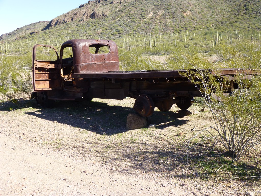
One beautiful winter’s afternoon I drove out to a spot deep in the Sauceda Mountains in Arizona’s remote back-country. I wanted to camp for the night at a road junction affectionately known to some as Javelina Camp. This spot had all the hallmarks of having been a home to some rancher many years before.
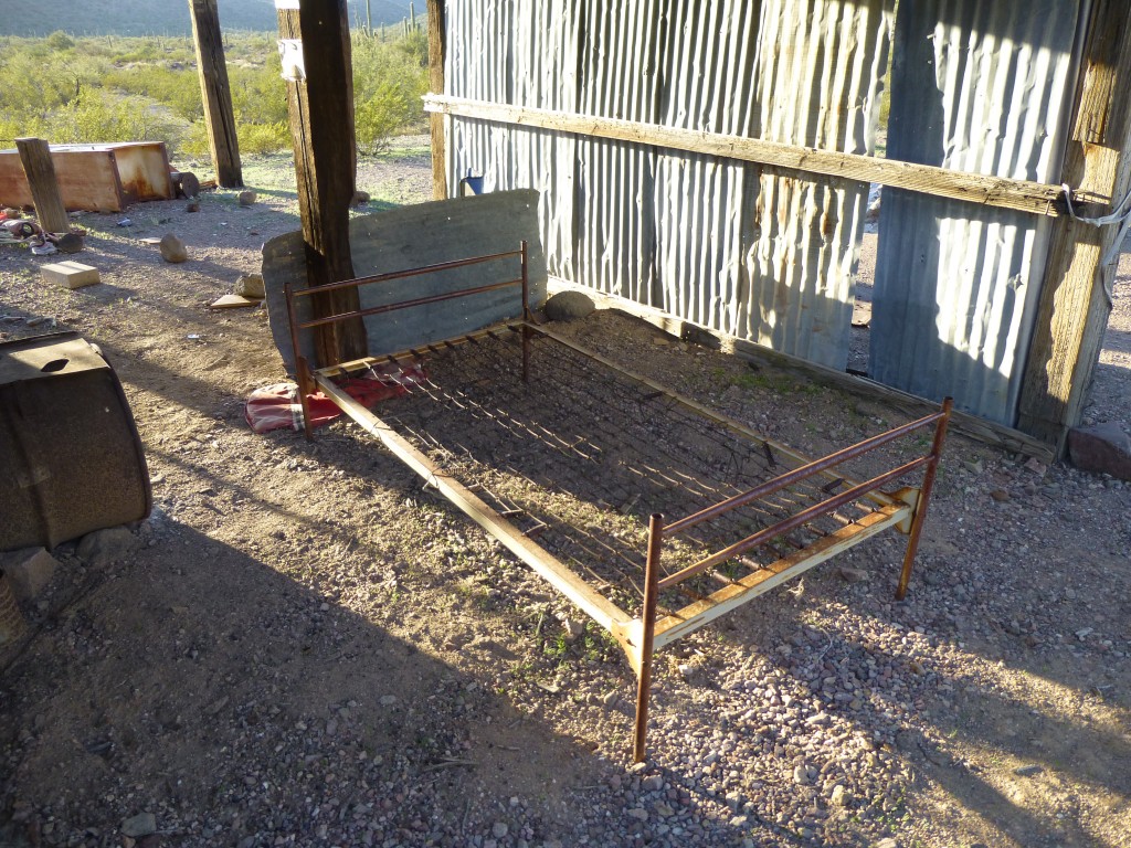
A windmill still stood, and had been used to pump water from a well to quench the thirst of both man and beast. An old corral bore witness to his efforts. Why had he left? Did he die, or simply quit the business and move away? When the Air Force took over the area as part of the bombing range, did they kick him out? Trappings of his time there showed that he had appreciated a few creature comforts such as a bed and refrigerator.
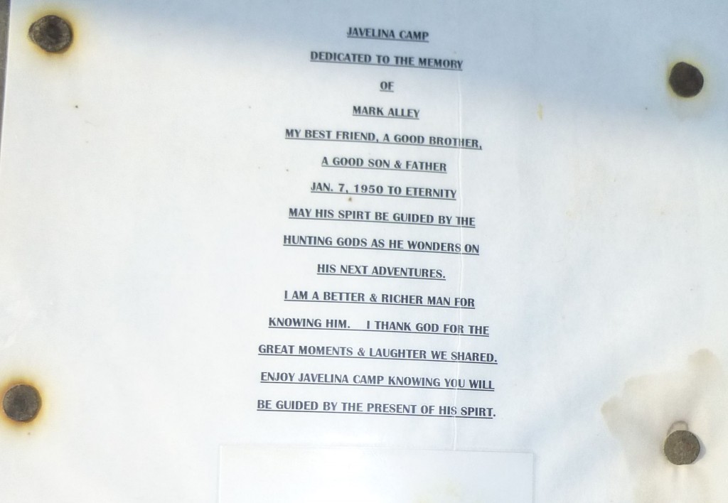
A notice pinned up under the roof told of a man who had loved his time spent there.
During the night it clouded over and the next day dawned warmer than usual. I was ready to go at 7:00 a.m. and set out northwest on foot, soon arriving at the base of my first objective of the day. Some nice scrambling near the top brought me to the summit of Peak 2817. Much to my surprise, I found a register where I expected none. Two friends of mine, it turns out, had visited in 1989 en route to Quail Benchmark farther north. I signed in and left.
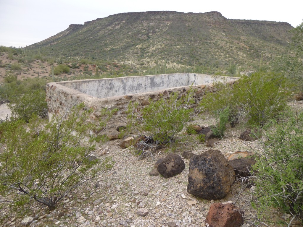
Once back at my truck, I started driving west. Today, I’d be covering new ground and was looking forward to it. Having known about these roads for many years but never having had the chance to explore them had me pretty psyched. A couple of miles of decent road brought me to Pistol Pass, until now just a name on a map. I parked and set out to explore a bit. A short way above the pass, on the north side, sat a large stone structure lined with concrete. This must have been used for watering cattle and had probably been part of the holdings of the rancher from Javelina Camp. I couldn’t figure out where the water came from to fill it, though – there was no sign of a well or pump.
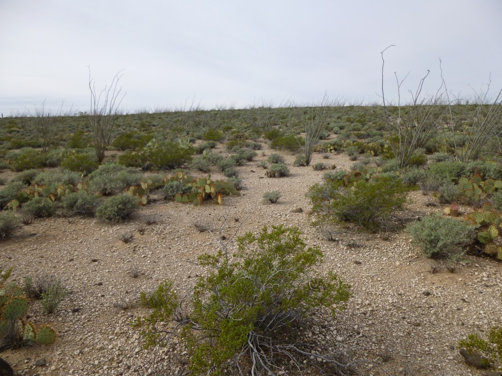
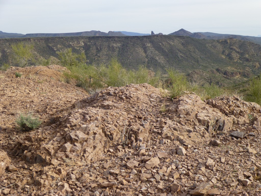
Continuing west and downhill from the pass, I soon reached another junction and headed south. Another easy half-mile brought me to a saddle where I parked – time for another peak. As I climbed the 500 vertical feet up the east side of Peak 2786, I saw a great many small black pebbles lying on the ground. Remarkably similar, they were all about an inch across. They were everywhere, as if they had eroded out of the volcanic rock capping the mountain above me. Collecting a few, I decided they were obsidian. The steep slope ended suddenly on a very flat plateau above. So flat, in fact, that it was hard to tell where the highest point was.
You might think that isn’t a big deal, but it is to a peakbagger like me. The map showed a spot elevation, but even going to where I thought that should be proved inconclusive. I walked a number of lines back and forth, trying to get a sense of what was higher and lower. Just when I thought I had the highest spot figured out, something at the south end of the plateau caught my eye.
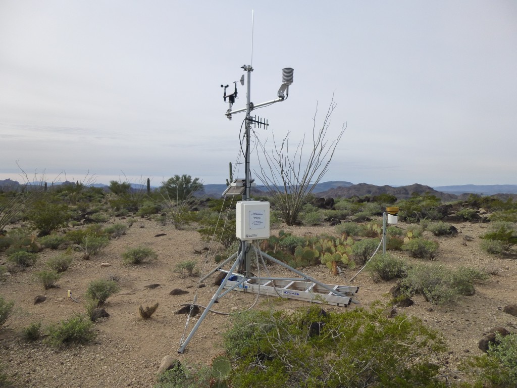
Ten minutes of walking brought me to a weather station that had been set up by the Air Force. It looked to be in excellent condition and fully functional. It even had a name – Weather Top. It was hard to tell, but a bump near it might have been the highest point on the mountain. I built a cairn there, then wandered back to the north to the other contender. There, I built another cairn and left my register. If any of you ever go there and think it’s not quite on the highest point, feel free to fine-tune it.
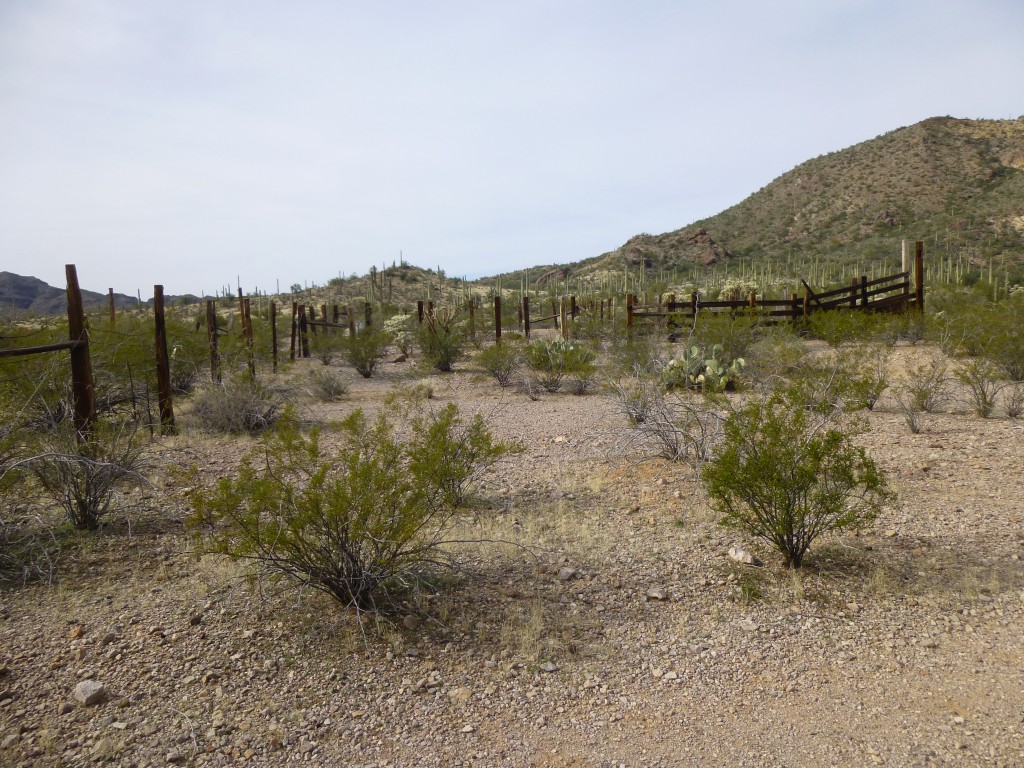
Having played around long enough with this peak, I returned to my truck. It was a short drive downhill to the south to arrive at a corral, where I parked for the next one.
Heading east, I was barely 10 minutes away from my truck when I thought I heard a vehicle approaching. Sure enough, a Border Patrol truck came into view and stopped at the corral. I had left my permit in plain view on my dashboard, which must have satisfied him, as he soon left. Almost certainly I must have tripped one of their many sensors in the area, so he had come in to check me out.
I continued upslope and soon arrived at the top of Peak 2718, where I left my cairn and register. While on top, I saw the same Border Patrol vehicle down below, now heading north past Javelina Camp. My work done, I left and was soon back at my truck. The map showed that, a short distance to the south, I could enter Ryan’s Canyon. The word “canyon” was a bit of a misnomer, because it was actually a wide valley with a broad sandy wash running through it. In fact, soon after I reached it and started west, the road entered the wash and continued there.
Here in the desert, it’s not uncommon for these washes (creek beds which are bone-dry 99.9% of the time) to be used as roads. You need to exercise caution so you don’t bog down in deep soft sand. Four-wheel drive is highly recommended. There have been times when I’ve hit a soft patch and sunk in. When you shift your transfer case into 4wd, you pray that that’s all you need to move forward once again. Ryan’s Canyon had a lot of gravel as well as sand, so the going was decent. I continued northwest down the canyon for three miles until I parked near another mountain – I’d had my eye on this one all day. Since the wash was wide, parking in it didn’t run the risk of blocking anyone – not that anyone would be coming by anyway.
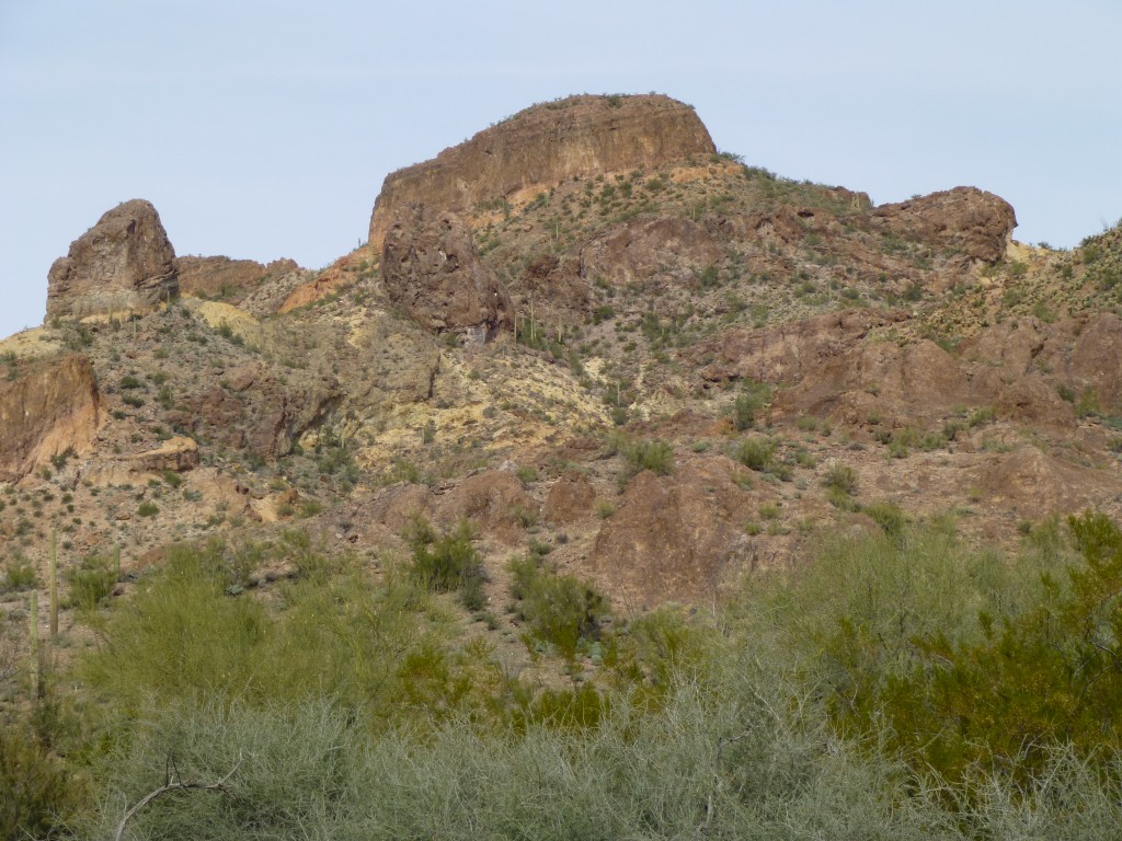
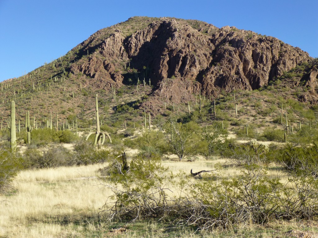
It was now 2:00 p.m. Time was passing more quickly than I’d hoped. Peak 2780 was directly in front of me and only half a mile away. It looked steep and rugged, and had had me worried since I’d first seen it hours earlier from the east.
Locking up the truck, I set out, crossing some low hills before entering a really brushy canyon. Screw that, I quickly decided – I hadn’t come here to bushwhack. As I studied the steep, broken terrain of the bowl I was in on the south side of the peak, I espied what looked like a decent way up through it, out of the brush and on to the rock.
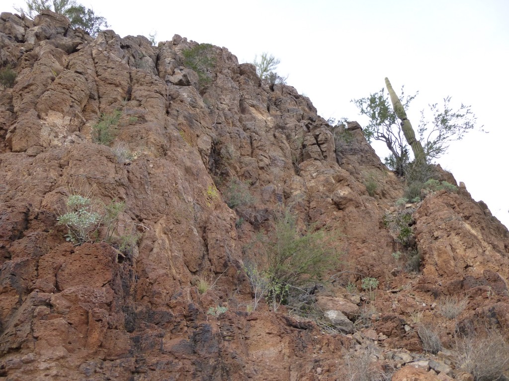
The rock was odd – one minute it was solid and enjoyable; the next, rotten and treacherous. There were crumbling cliffs everywhere – my main job became finding a path up through them. As I progressed, I realized I could save a lot of time on the descent by retracing my steps, so I built a series of stone markers along the way. Called “ducks” by some, they are as simple as 2 or 3 rocks piled atop one another – just enough to stand out from a short distance away and mark your path.
After 500 feet of climbing, I reached a saddle. Only another 300 feet to go. Now heading northwest, I quickly gained height and, before I knew it, reached the summit block. I was in luck – on the north side rose a steep, broken ramp, blocked part-way up by a saguaro cactus and an ironwood tree.
Once around that, a few easy ledges brought me to the top. What a great little peak, with just enough mystery and excitement to make it an interesting challenge – the perfect peakbagger’s peak. There was no sign whatsoever of anyone else having visited the summit.
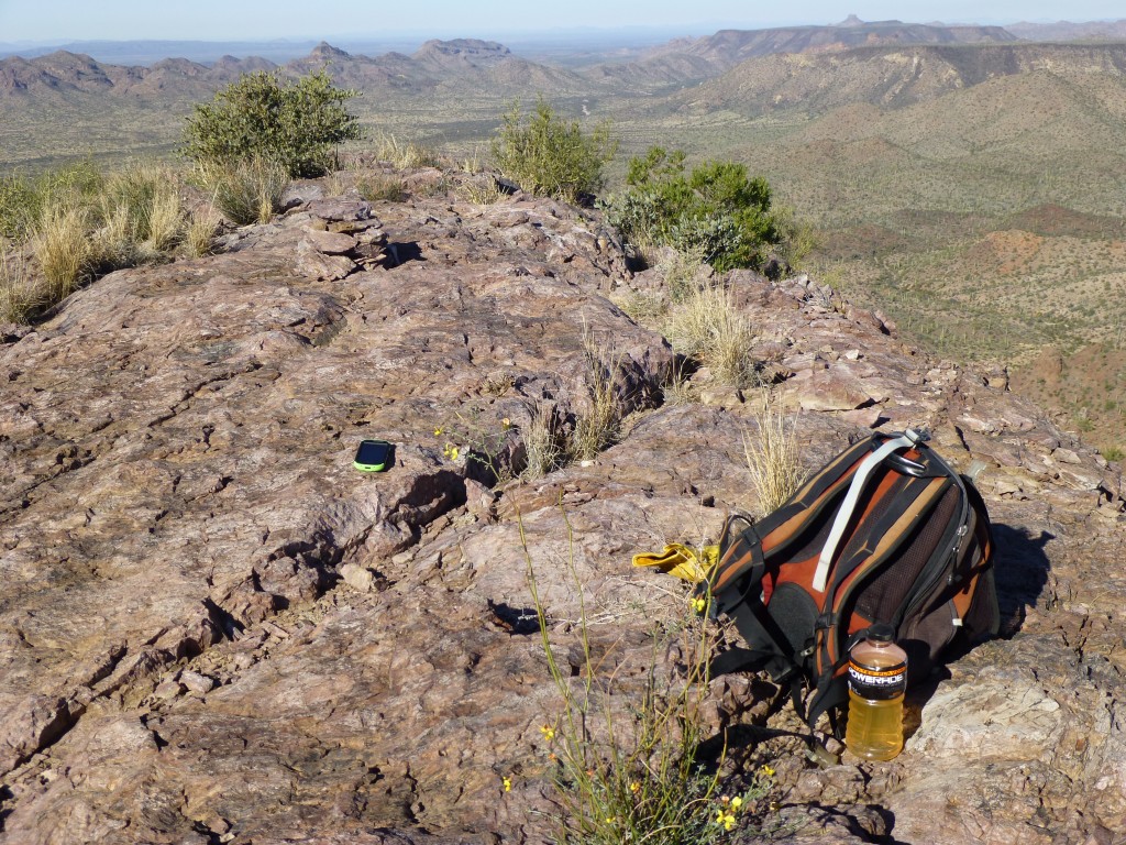
I left my register and soaked up the view. The Saucedas stretched out in every direction – there are 90 peaks in this range, and I was right in the middle of them.
It was a beautiful warm afternoon and I didn’t want to leave. For once, it was nice to just sit and enjoy the view, something we peakaggers do too little of. I was already making plans for future forays into the area. It never ceases to amaze me that such a fine peak as this had never been visited before. It was a mere 19 air miles from a town that has existed for a century. Did people have so little interest in climbing mountains?
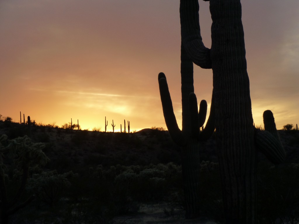
Once down the ramp and off the summit area, I followed my ducks all the way back down through the bowl and, Bob’s your uncle, there I was back at my truck. Turning it around, I drove east, back up Ryan’s Canyon. Following a series of roads, I ended up, seven miles later, parked for the night, just in time to catch another outstanding desert sunset.
The clouds had rolled away and the stars shone brightly. It cooled off quickly, and the next morning I awoke to white frost on everything.
There was just one more climb to do. I loaded everything back into the truck and drove a mile north to park at a guzzler. It was another perfect, blue-sky day in the Sonoran desert. With just a light day-pack, I set out.
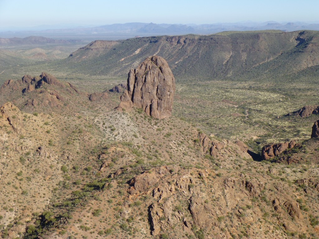
Climbing up a series of steep but otherwise easy talus slopes, I arrived at the top of Peak 3180, 45 minutes after starting out. As I crested the summit, all of a sudden I could see Tom Thumb. It is a spectacular rocky peak, and was a mere 1,700 feet to the north. Andy Bates had led me up it four years ago for its first ascent, and I never tire of seeing it, no matter the angle.
The summit on which I now stood was balder than a billiard ball, quite untouched – so much so that I had to look quite hard to find enough rocks to build a cairn. Filling out that register was so enjoyable. To think that nobody had visited that spot before made all the effort worthwhile.
After the requisite photos, I descended the way I’d come up and was soon back at my truck. It was good to change out of my dirty, sweat-soaked clothes into something clean and dry. The drive back out to the gas pipeline road was rough and slow. I’m getting really tired of the drive into here. As I plan to spend a lot more time in the Saucedas, I think from now on I’ll come in from the west, from Highway 85 north of Ajo. With my permit from the bombing range, I can use my code on their gates and eliminate a lot of bone-jarring travel. The rest of the trip home went without incident. It had been another trip to paradise – the Saucedas are an unspoiled slice of desert which I feel privileged to be able to visit.
Please visit our Facebook page at: https://www.facebook.com/pages/Desert-Mountaineer/192730747542690

