
I can’t exactly remember when I first heard of the Antelopes – I know I’d seen them on maps for many years, maybe 25, but hadn’t ever met anyone who’d been there. Until, that is, my California peakbagger friends told me they’d climbed there. Mark had said they’d been out there in the cooler weather a long time ago, on a foggy day, and that while walking through the fog they heard the clatter of nearby hooves. They hadn’t seen anything, but it was almost certainly antelopes they’d heard.
That was back in 1999, at Thanksgiving, when they’d visited. The long walk north from the Camino del Diablo was the route they’d taken, and I knew of no-one else who’d done it. Many years later, I discovered that Bob Martin had made a sweep through the area, climbing four of the five peaks in a single day – that is huge – what a feat of endurance!
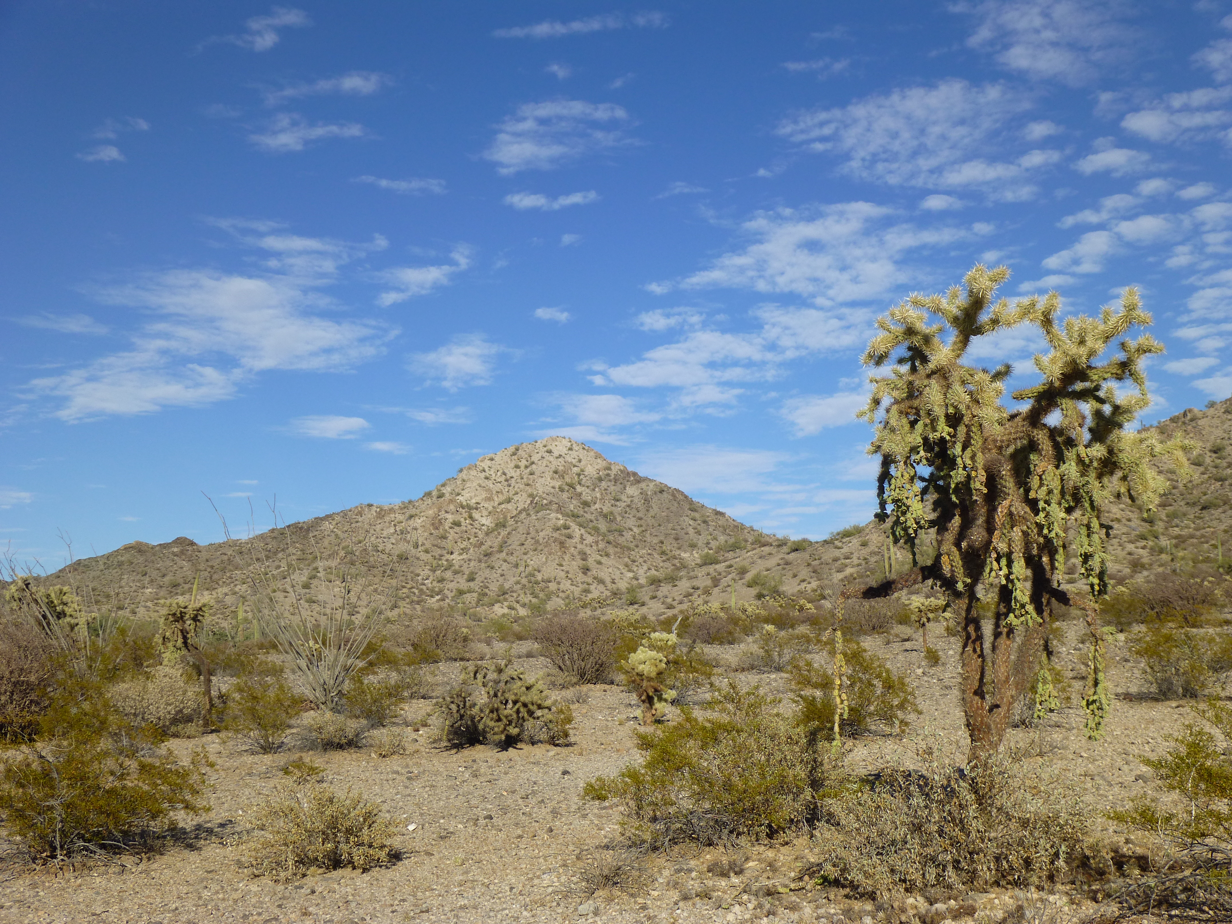
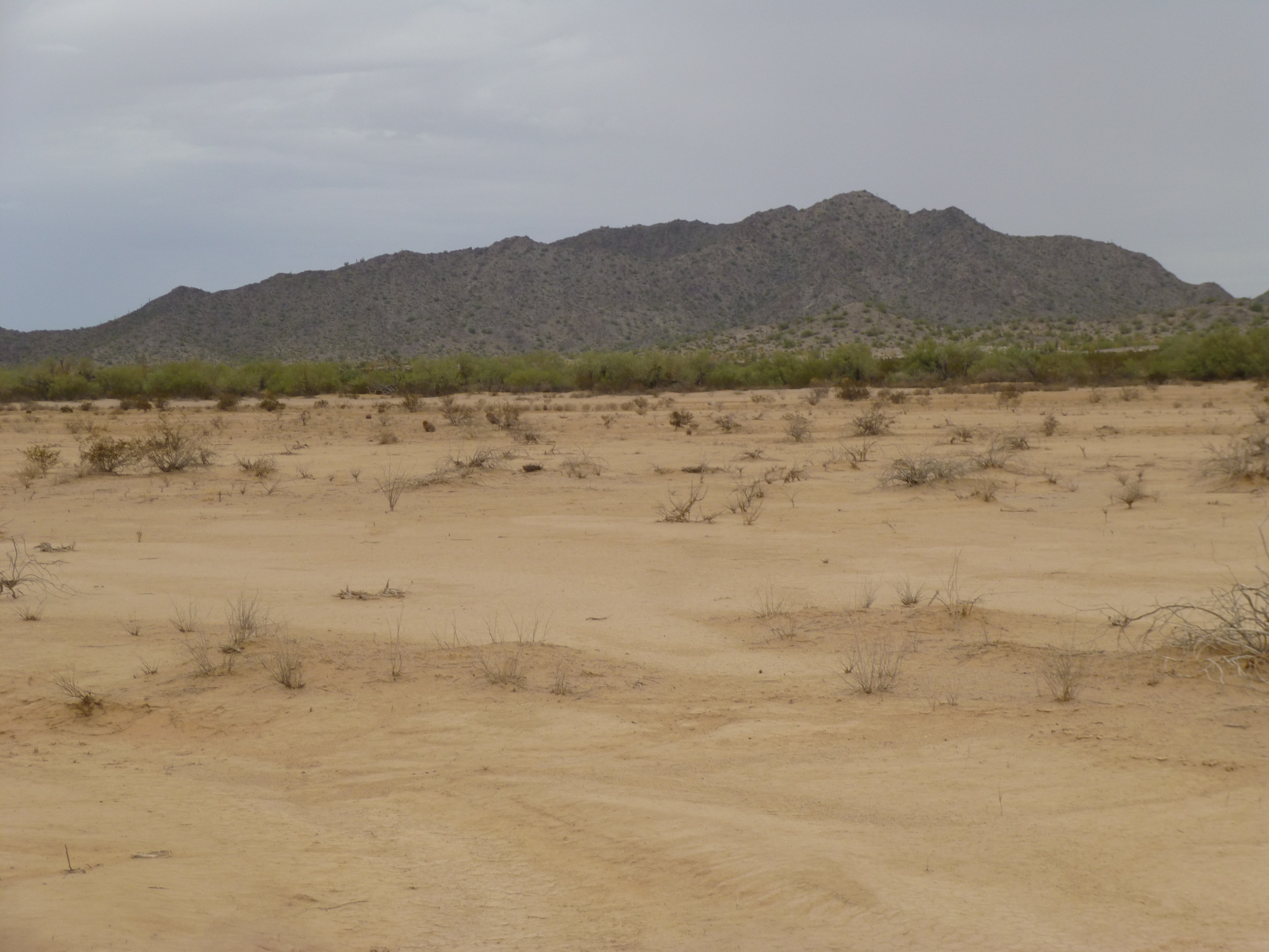
So there they were, the Antelope Hills, sitting way out in the desert all by themselves. South of the Granite Mountains and north of the Agua Dulce Mountains, they all fit within a space five miles across. Three of the peaks form the northern group; the other two are tucked into a string of hills to the south.
The years went by, and I kept getting glimpses of the Antelopes from different directions, but never set foot in them. Came November of 2013, I figured the time had come to get started. My goal was to climb all five of the peaks, something that hadn’t been done before, and I knew myself well enough that, once I got started, I wouldn’t be happy until I’d done them all.
I made the long drive out to Ajo, then along the Camino del Diablo all the way to Papago Well. By the time I made my way four miles north from the well, it was already 3:30 P.M., and hot. Hell’s bells, it was November and not supposed to be 90 degrees. It had taken a full six hours from home to reach this point, so the day was mostly shot already. It turned out that this, the first one of the lot, was also the only one that hadn’t been climbed. It only took 20 minutes from where I dropped my pack to get to the top of Peak 1290.
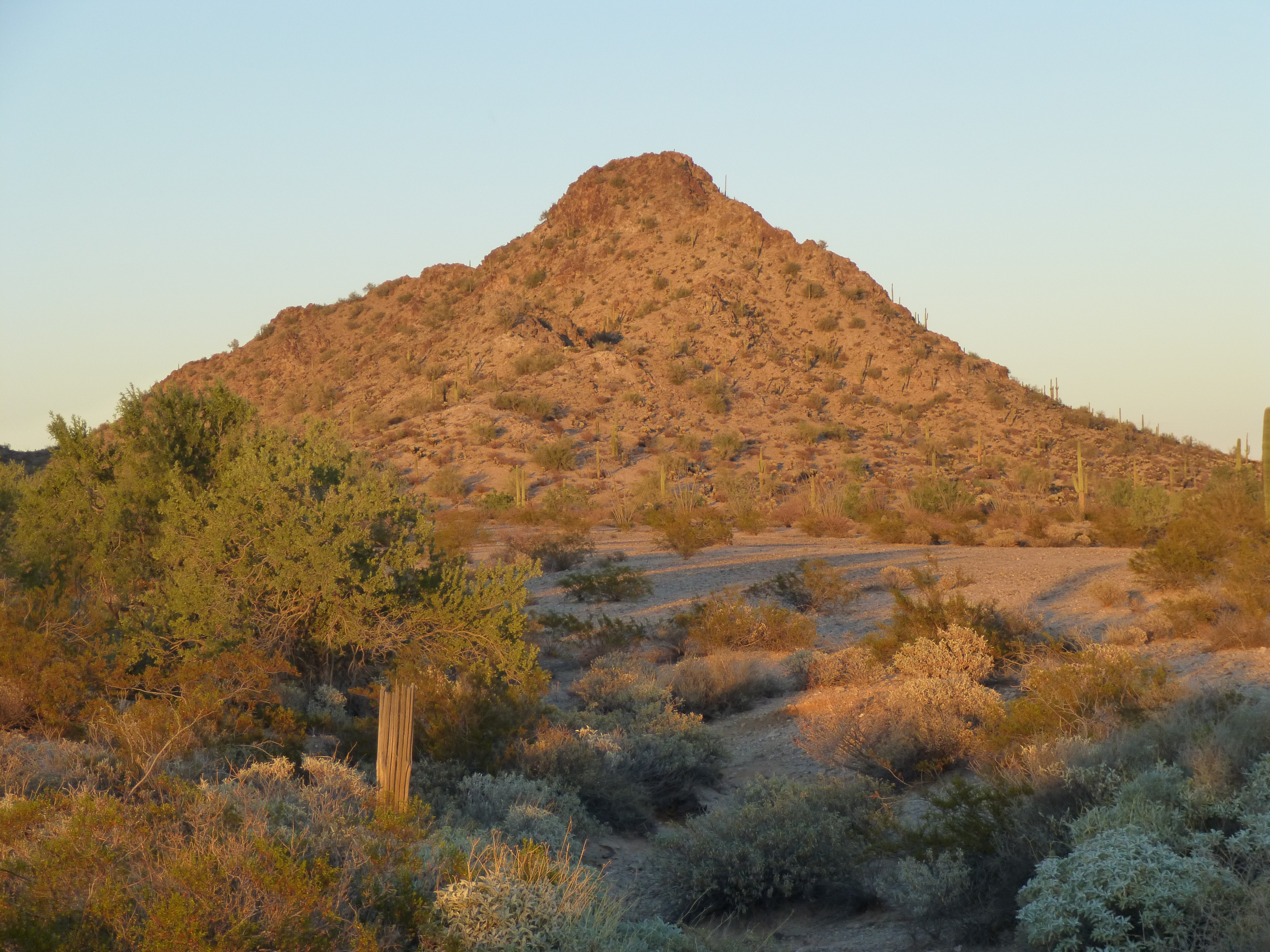
Looking northeast to Peak 1290 in the Antelope Hills
I built a quick cairn and left a register, then headed back down to my gear. It was but 1.7 miles across flat desert to end up where I wanted to be for the night, and the march southeast went without a hitch. Here is the view I had of my next peak from where I camped.
Looking northeast to Peak 1329
This put me in a good position, as night fell, to pick up my next peak in the morning. So far, so good. It’d been a long day, though.
Looking west over to the distant south end of the Sierra Pinta
At daybreak, I headed up to the top of Peak 1329, where I found the register left by Bob Martin and Jim Watts back in 1995. I signed in, but didn’t linger. I had a long way to go to my next peak – well, I say long, but it was under four miles. I just wanted to get a move on. By the time I got over to it, dropped my pack and climbed to the top, it was close to noon. There, on Peak 1474, I found another register left by Martin.
Looking southeast up the Growler Valley from the summit of Peak 1474
While on top, I noticed a lot of activity on the desert floor to the north. Several vehicles, which I assumed were Border Patrol, were moving around quickly, back and forth, as if they were looking for something. Once back down to my gear, one of them came over to me. The BP agent told me, in no uncertain terms, that it was not a good time to be in the area, that “they were dealing with a situation”. I could only guess that they were talking about drug smugglers. He took off in a hurry, and during the next hour I saw several other BP vehicles converging on the area of one of the peaks I hadn’t done. One of the agents had left his vehicle and was on foot somewhere in the desert – I found this in the middle of a road, with no-one nearby.
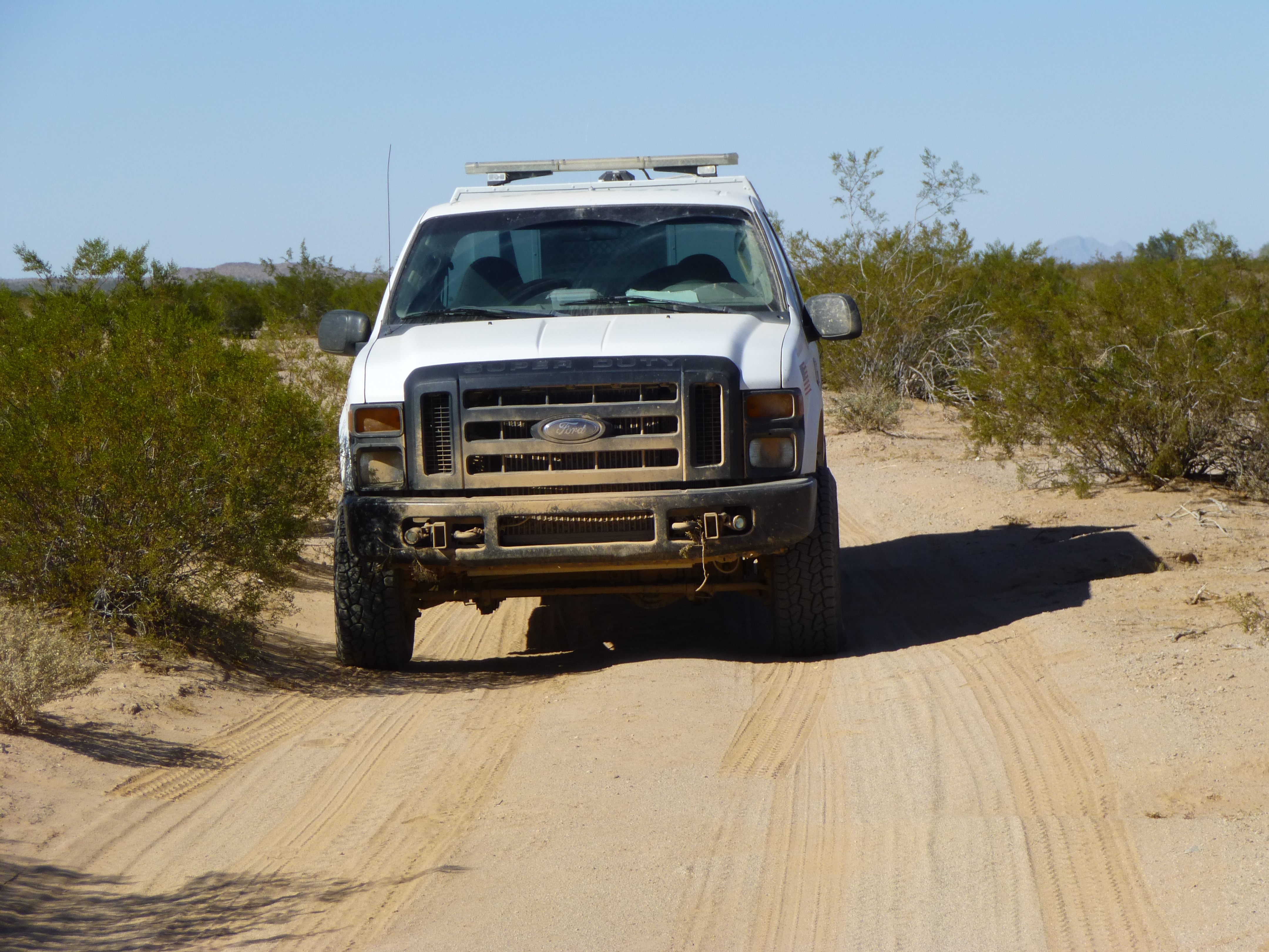
Border Patrol vehicle
So ended my first foray into the Antelope Hills. I was kind of miffed that my trip had ended that way, but it was the only sensible thing to do, and I’m not one who can be accused of doing too many sensible things in the desert.
The new year arrived, its long hot summer passed, and I couldn’t stand it any longer – I had to get back and pick up those last two peaks. In the middle of a five-day trip out to the Cabeza, I set aside a day to do the deed. It was October 7th, and the forecast was for rain, but I was hoping it’d hold off long enough for me to finish.
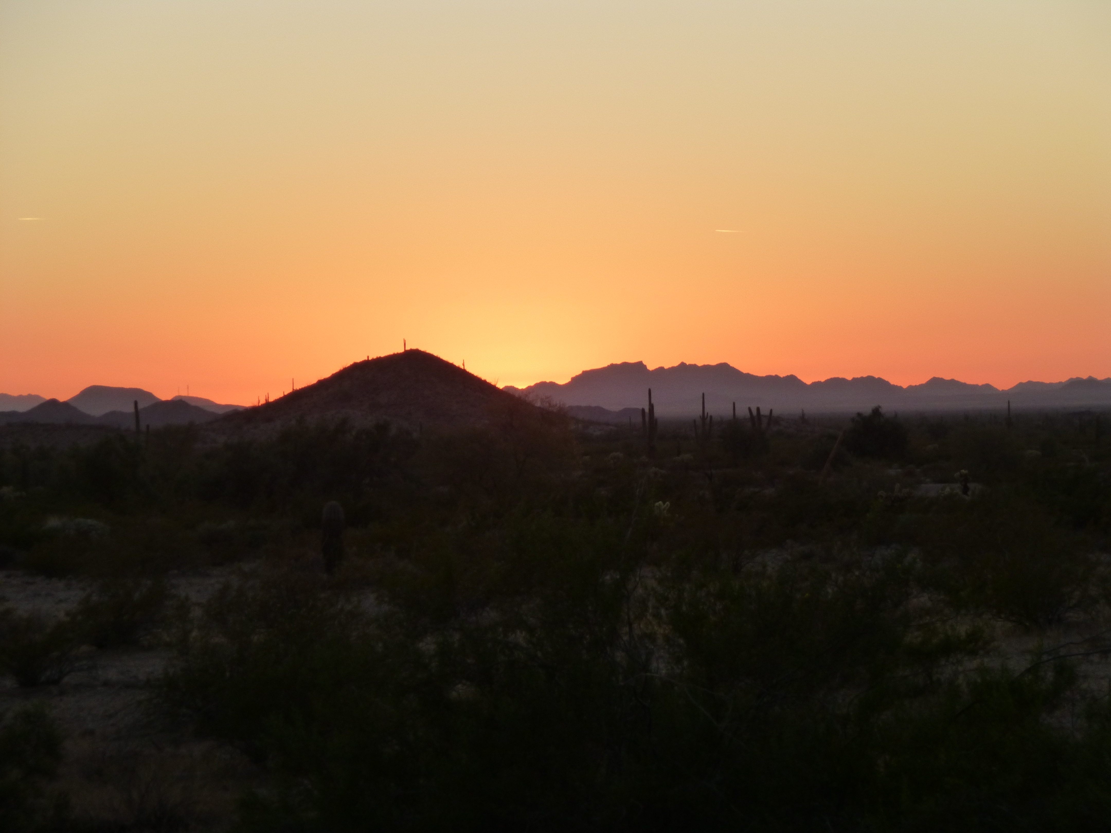
The best place to park was hard by the Camino del Diablo at a little hill called 1070. I started at 6:00 A.M., when there was barely enough light to see. Here’s the thing – I’m not a big fan of the horizontal. I’ll climb vertical feet all day long, but covering a long distance just to reach a mountain has never appealed. There were no shortcuts here, though – what I had to do was head NNW, putting one foot in front of another, for a long time. The sun rose 40 minutes later and shone briefly before being engulfed by a layer of clouds.
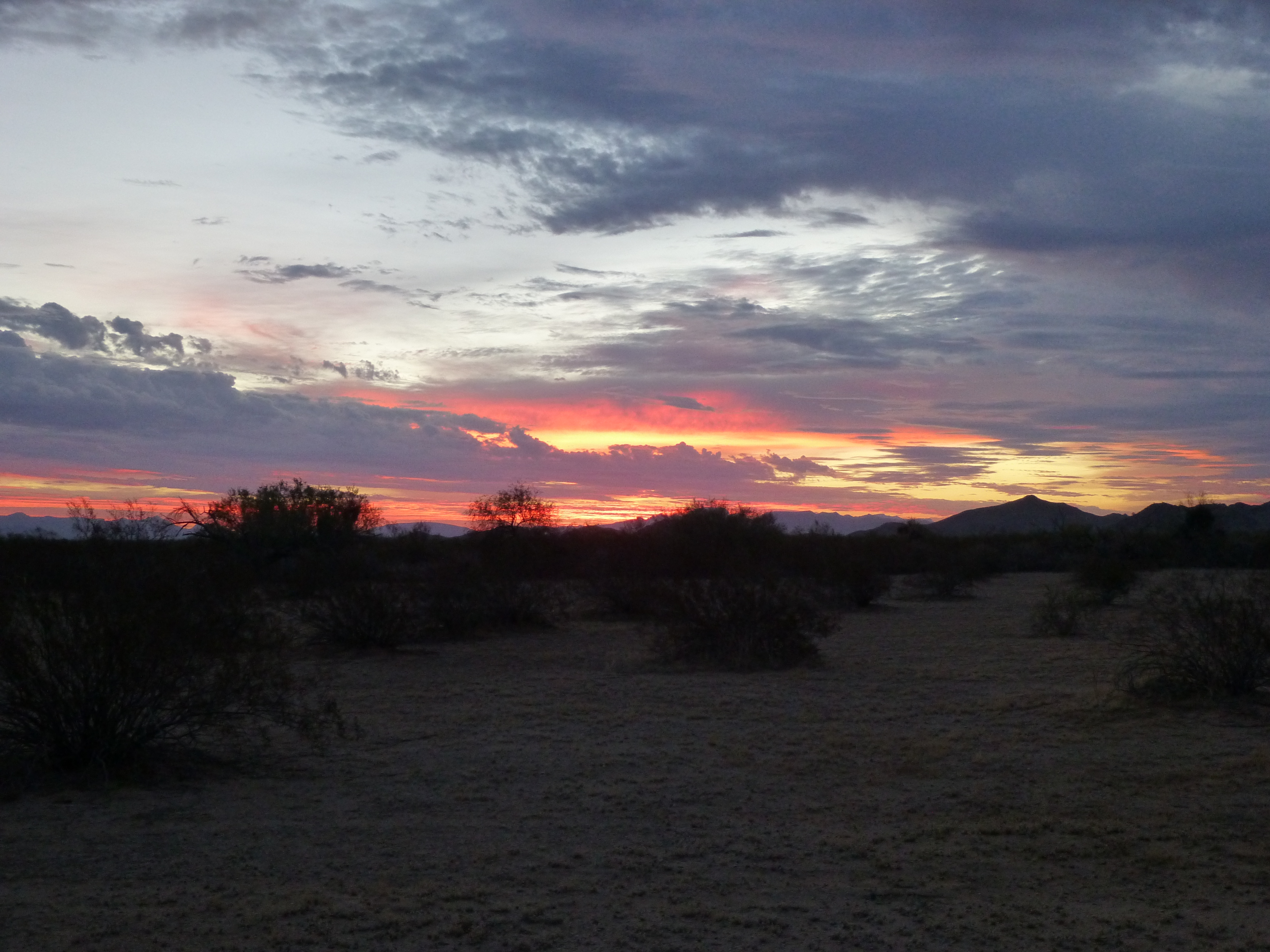
Sunrise
An hour out, I stashed a quart of water for the trip back, then kept on going. There wasn’t much of note on the march in, but here’s something that caught my eye – a tow dart, used by the Air Force for air-to-air target practice.
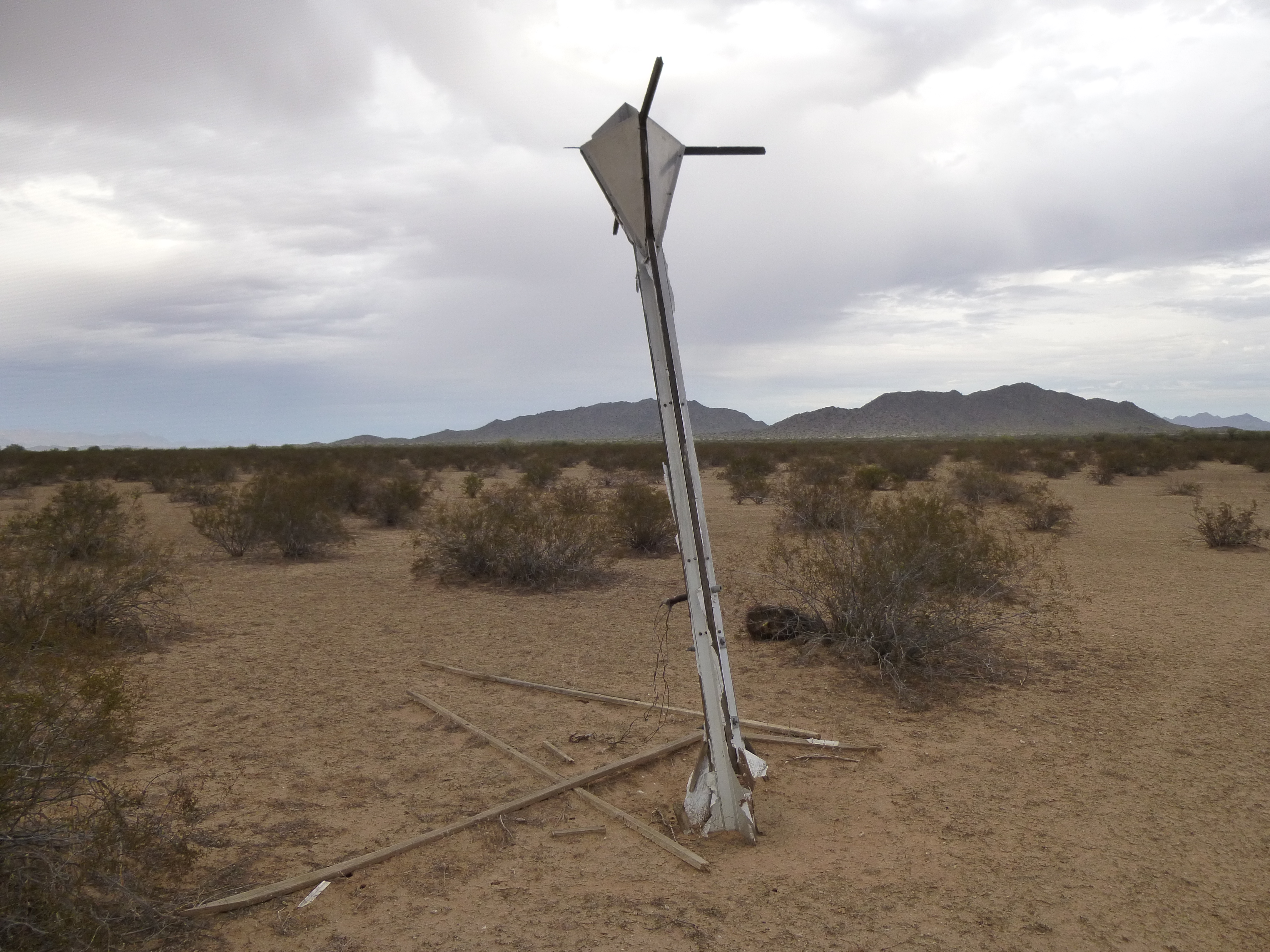
Tow dart, with my two peaks in the background.
When still two miles away from my peaks, I had to cross a large area of sand sitting in a wide flat valley. In this next photo, you can see the first peak for which I was heading.
Looking northwest to the highest point of the Antelope Hills
Did I mention how warm and muggy it was? Even though I was simply walking on level ground, I was soaked in sweat. The sky had been completely overcast for some time and showed no signs of letting up. In the last mile before the peak, I had to cross a series of washes, some of them fairly deep, then there I was. As I climbed up the 600 vertical feet of rough rock, the wind was blowing hard. No problems, though. By the time I stepped on to the summit, a full three hours had passed since I’d started out.
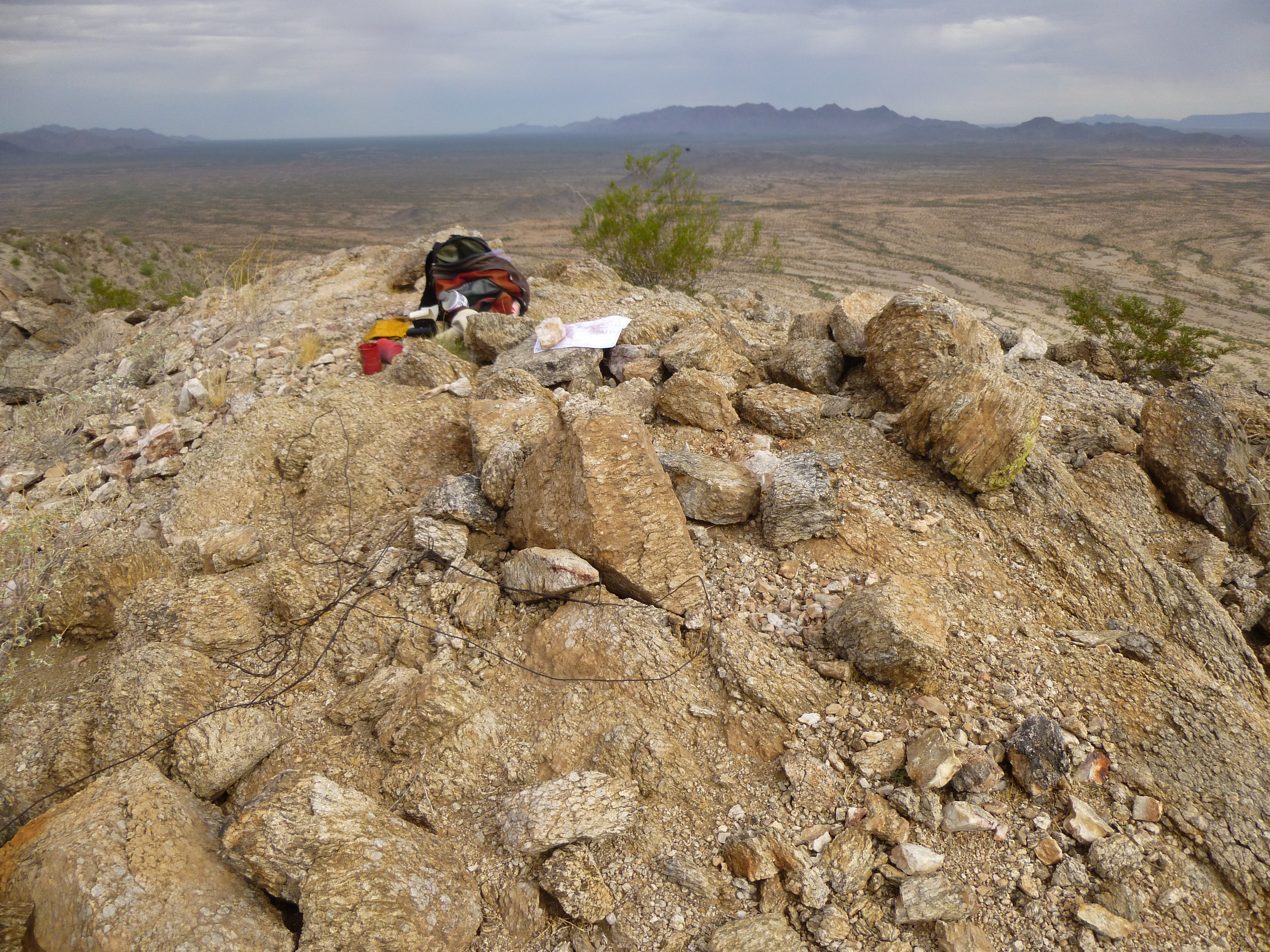
The summit of Hayes Benchmark, with the Granite Mountains in the distance
My feeling pretty good about having finally made it to the highest point of the Antelopes (Hayes Benchmark, elevation 1,533′) was somewhat diminished when I read the summit register.
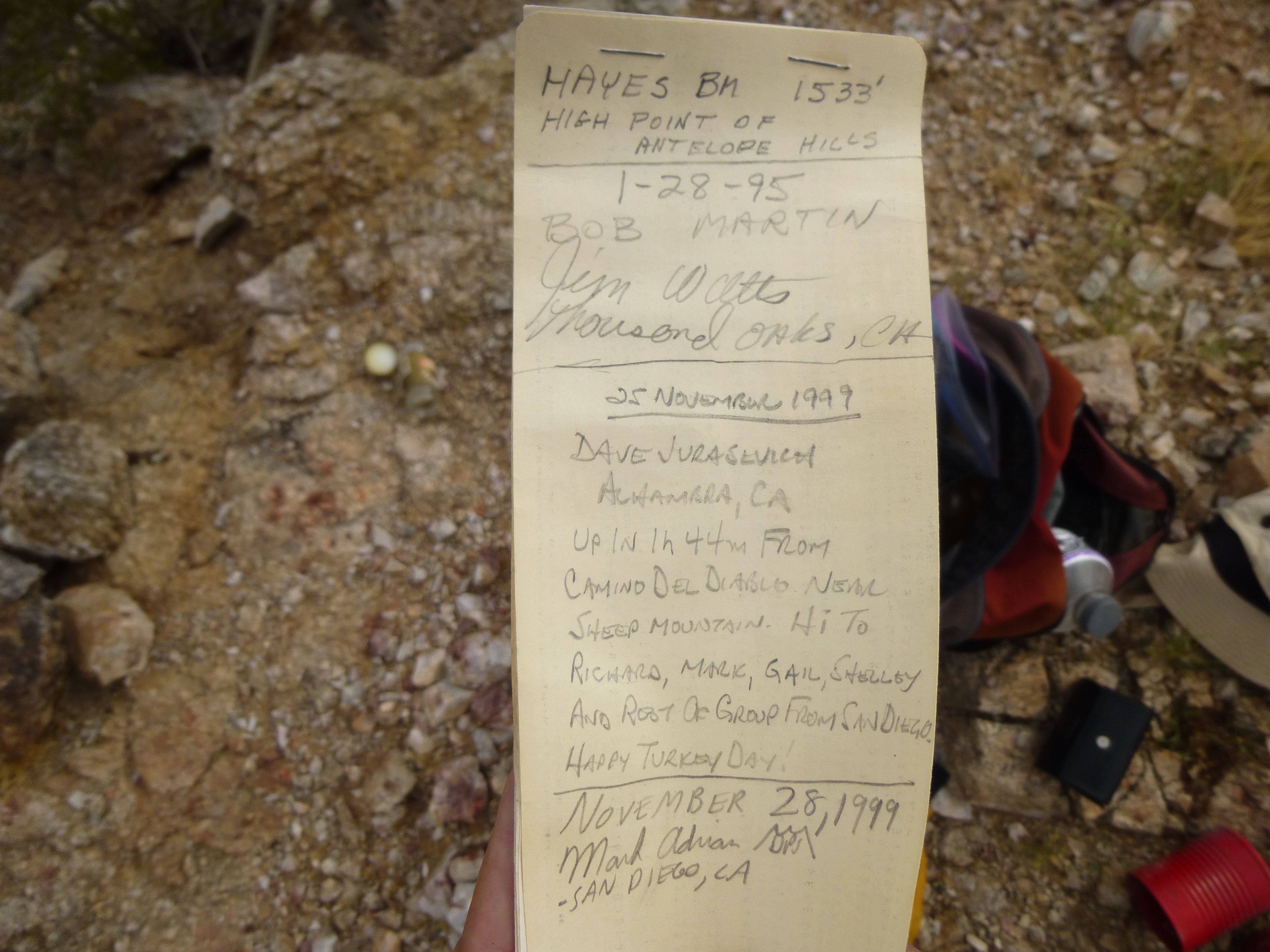
The summit register
All of the earlier entries were friends of mine, and it was pretty cool knowing that I was in good company. However, Dave Jurasevich had made it to the summit from the Camino in the amazing time of 1 hour 44 minutes – holy crap, the guy is a climbing machine! Made me feel old. It had been a full 15 years since anyone had stood on this summit, but that was no surprise – it’s way off anybody’s radar. There were two peaks I needed to climb today, so it was time to get moving.
A prominent gully led me down from Hayes to a valley below, which I quickly crossed. While on Hayes, it appeared that I could contour across a sizeable intervening bump to reach my next peak. Turns out, that was a lot messier than I thought, costing me a couple of hundred feet I hadn’t planned on. By the time I climbed the final 500 feet up to the second one, Peak 1474, I was feeling it. Border-crossers had removed the register Martin had left and built themselves a little sheltered spot.
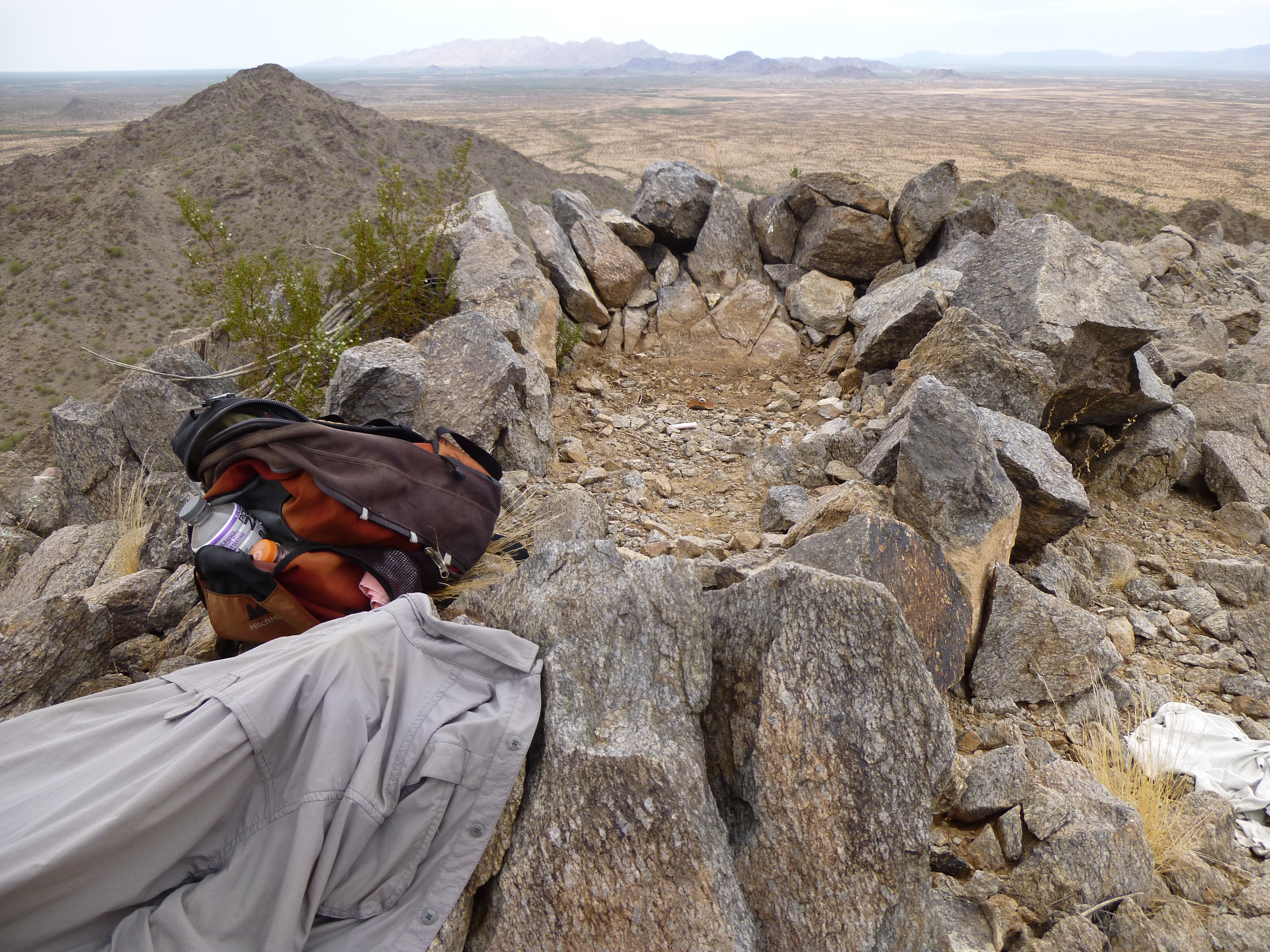
On top of Peak 1474
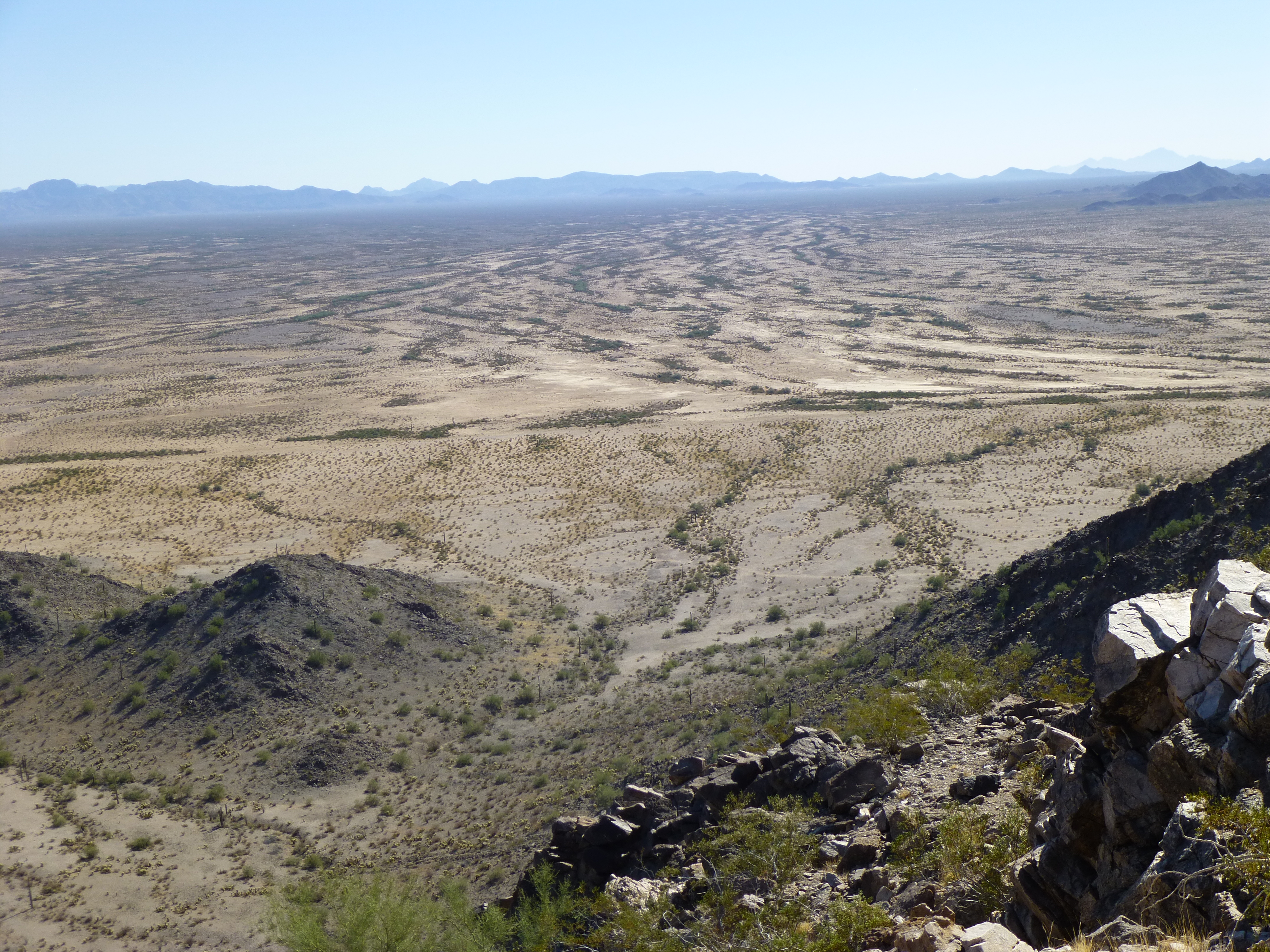
That was it, I had now climbed all five peaks in the Antelope Hills – that felt good, but there was still the small matter of getting back to my truck. I doubt I stayed ten minutes on top before dropping down the southeast side to the desert floor. Now all I had to do was keep walking, and that I did. In this next photo, see the dark mountain on the horizon, just to the right of center? My truck was parked in front of that.
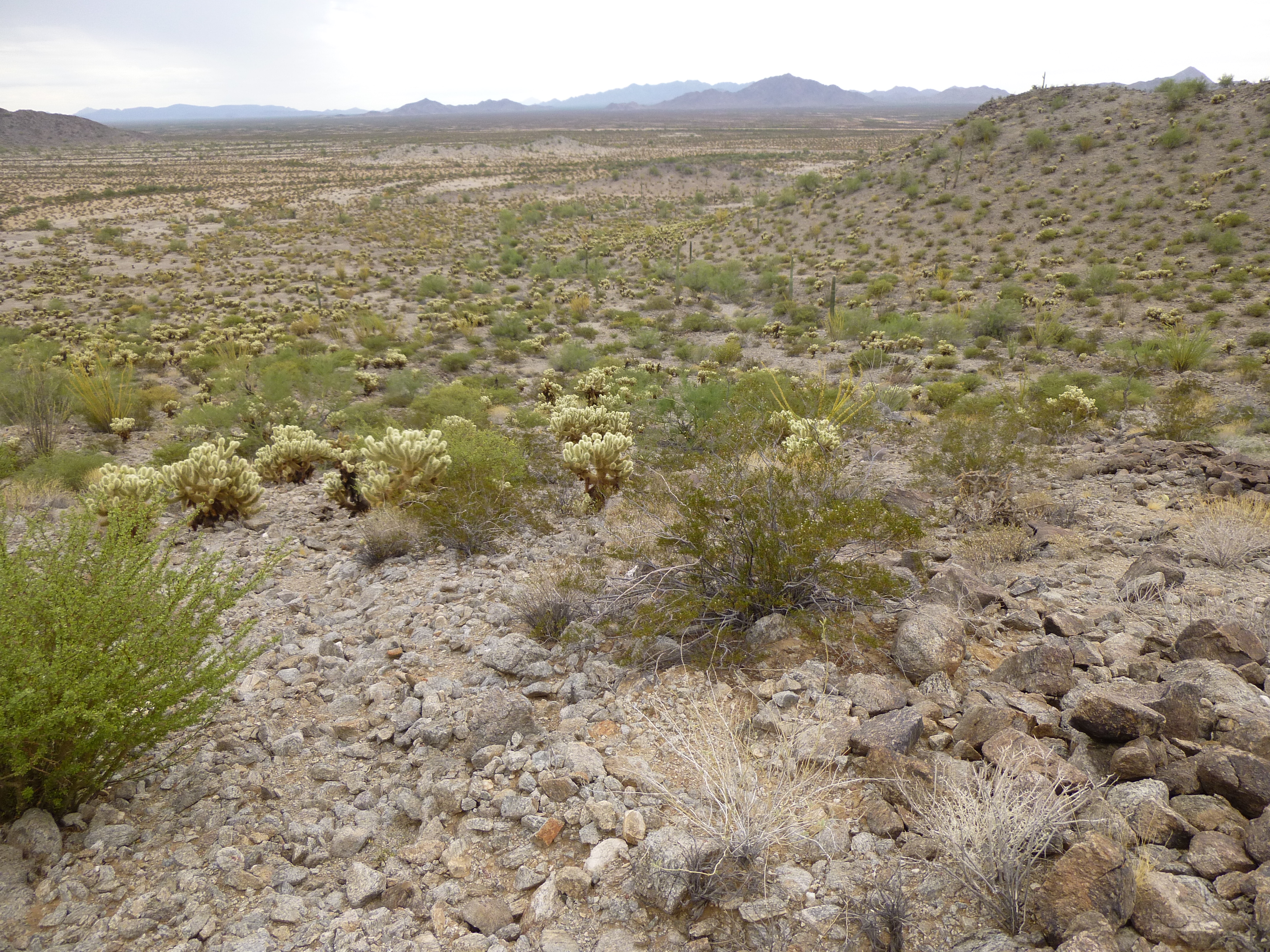
Looking back to where my truck was waiting.
The return was without incident. During the entire day, I had been finding spent shell casings, large ones, which I think had been used by A-10 aircraft – hundreds of them. Here’s a picture of one with the bullet still attached. That’s a quart bottle beside it.
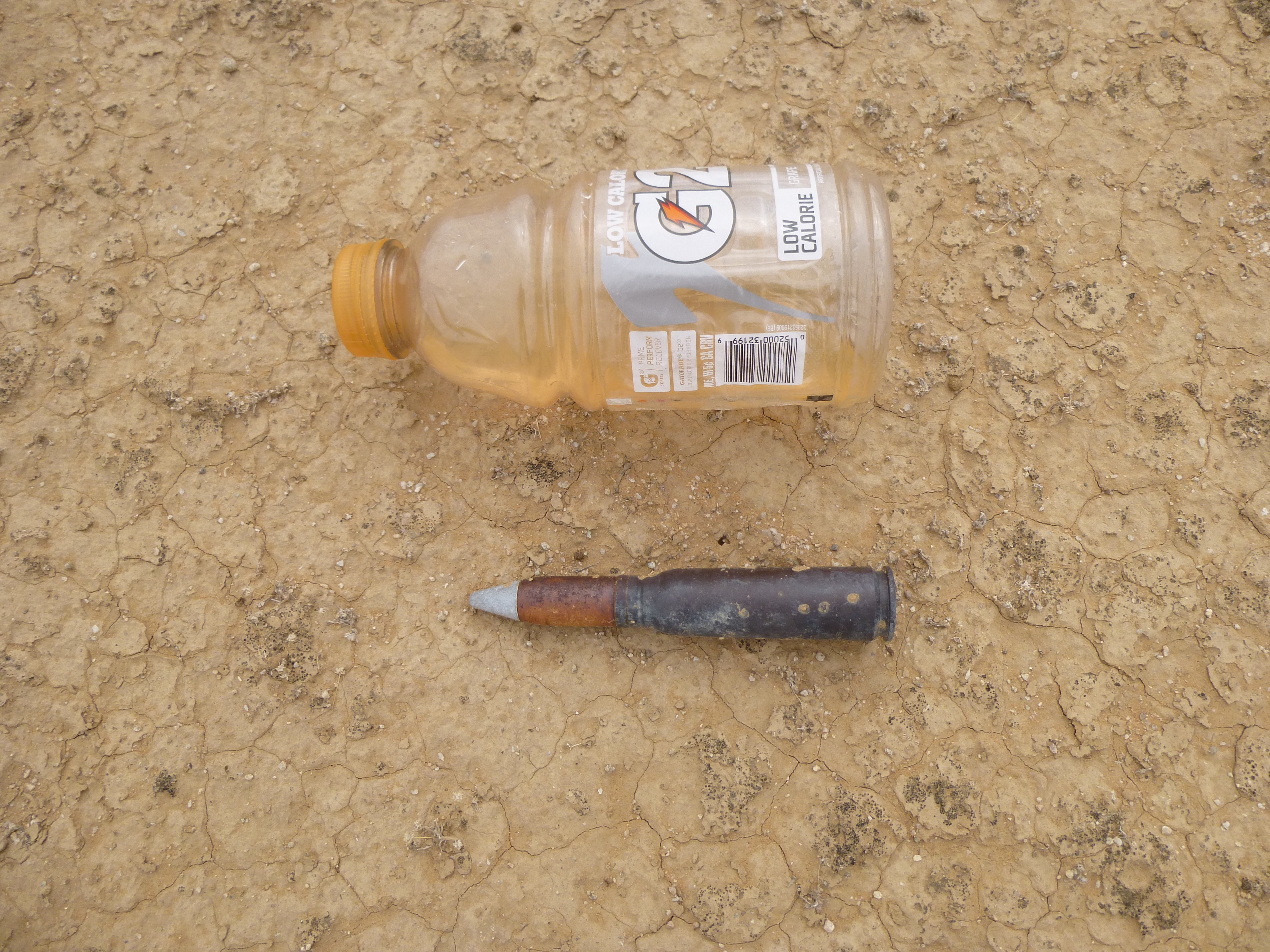
Intact bullet
It was just a matter of time, and I eventually made it back to my truck, a little the worse for wear but otherwise fine. My time in to the Antelope Hills high point will forever stand as one of the slowest trips ever. Oh well, at least it was done. I managed to climb one more peak before returning to camp at Papago Wells. It’s a good thing I finished the Antelopes when I did, because that night the remnants of Hurricane Simon slammed into the area with torrential rainfall.
Please visit our Facebook page at: https://www.facebook.com/pages/Desert-Mountaineer/192730747542690