
Since I first climbed in the Sierra de Santa Rosa back in 1987, I never really thought I’d have any reason to return. Nothing else in the range was on my radar, and there were plenty of peaks elsewhere calling me. In those intervening years, the border that Organ Pipe Cactus National Monument shares with Mexico has become a dangerous area, rife with human and drug smuggling. Nothing drove that home more than the tragic death of one of Organ Pipe’s finest, described here in a subsequent press release:
On August 9, 2002 Ranger Kristopher Eggle was shot and killed while he and several U.S. Border Patrol Agents attempted to apprehend two armed illegal aliens. The suspects had fled from Mexican authorities into Organ Pipe Cactus National Monument, Arizona at 1400 hours. The Mexican authorities called the Border Patrol and notified them of the suspects. A Border Patrol helicopter in the area located the suspects and directed Ranger Eggle and Border Patrol Agents to the area.
One of the suspects was apprehended without incident, but the second suspect opened fire with an AK-47 rifle. Ranger Eggle was struck below his vest, causing a fatal wound. The suspect then fled on foot south toward the Mexican border. He ran to approximately fifty yards from the border, where approximately 30 to 50 Mexican officers from numerous agencies opened fire from Mexico killing him. A medivac helicopter was sent to the scene, but Ranger Eggle had already succumbed to his wounds. The suspect who was arrested during the incident was sentenced to 15.5 years in prison.
Following Ranger Eggle’s death, Organ Pipe gained the dubious title of “America’s most dangerous park”. Most of its back country was closed to all public travel in 2003, much to the chagrin of thousands of Organ Pipe users. It seemed like it was destined to remain that way forever. Enter one Brent Range, the new park Superintendent, in early 2014. He had a vision to re-open the park and the determination needed to overcome the many obstacles in the way. His efforts paid off, and in September of 2014 virtually all of the park’s back-country was re-opened to a grateful public. Kudos to you, Brent, for tackling what your predecessors didn’t have the stomach to do.
Now where was I? – oh yes, I was talking about the Sierra de Santa Rosa. Almost 20 years later, my attention turned once again to that obscure range. I found myself back in the area, but for a different reason. With the Arizona mountain ranges project in my distant past, I was now deeply engrossed in an even bigger project. Peakbagging projects can be fascinating. Just when you think you’ve finished with an area, yet another list will bring you back in – layer upon layer of activity, sometimes covering a span of years or even decades. I’ve learned to never say that I’m truly done with an area.
The O’odham people had kindly given me a permit to climb in their nation, and 401 peaks beckoned. As luck would have it, two of them were in the Sierra de Santa Rosa, so August of 2005 found me driving into the extreme southwest corner of their land. The details of my climbs of those peaks are documented in an earlier piece on this website, entitled “Climbing at the Mexican Border”. Here is a photo of the first one I climbed on that trip, Peak 2750.
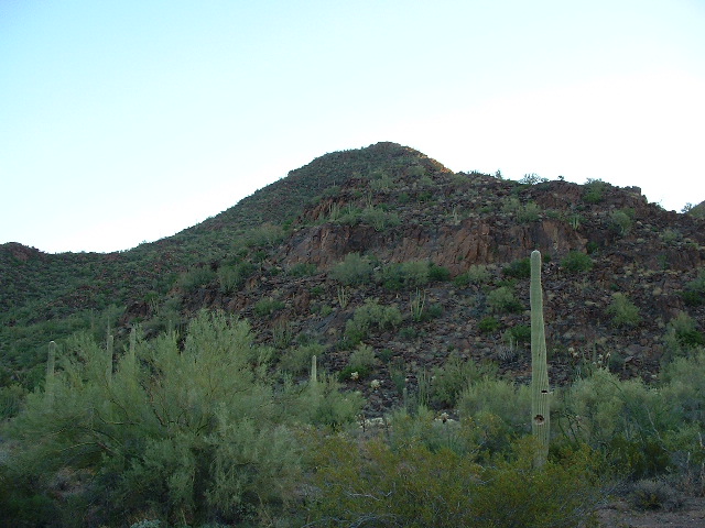
Peak 2750 in the Sierra de Santa Rosa
The second one done that day was Peak 2150. Both of the peaks are quite close to the village of Ali Chuk, right on the Mexican border.
Those done, I felt confident that there’d be no reason I’d need to return to the area. On March of 2006, I’d finished the Tohono O’odham project, so what reason could I possibly have for going back to that obscure little range? Well, as I said earlier, one project tends to lead to another, and I found myself a few years later up to my eyeballs in an even larger project, that of climbing all of the peaks in Pima County where I live. And guess what – a closer examination of my dear Sierra de Santa Rosa showed four more peaks that lie within the county that I hadn’t yet done. These might prove to be the toughest ones, they were so far out there.
How to get at them? Coming in from the border, the way I’d done the high point many years ago, was out of the question – I had neither the time nor the energy. Maybe a backpacking trip from the Ajo Mountain Drive in Organ Pipe, but that too seemed like an extreme amount of effort for just four peaks. Hmmm – I had to do them to finish my project, so were there any other choices? Maybe there was one other way.
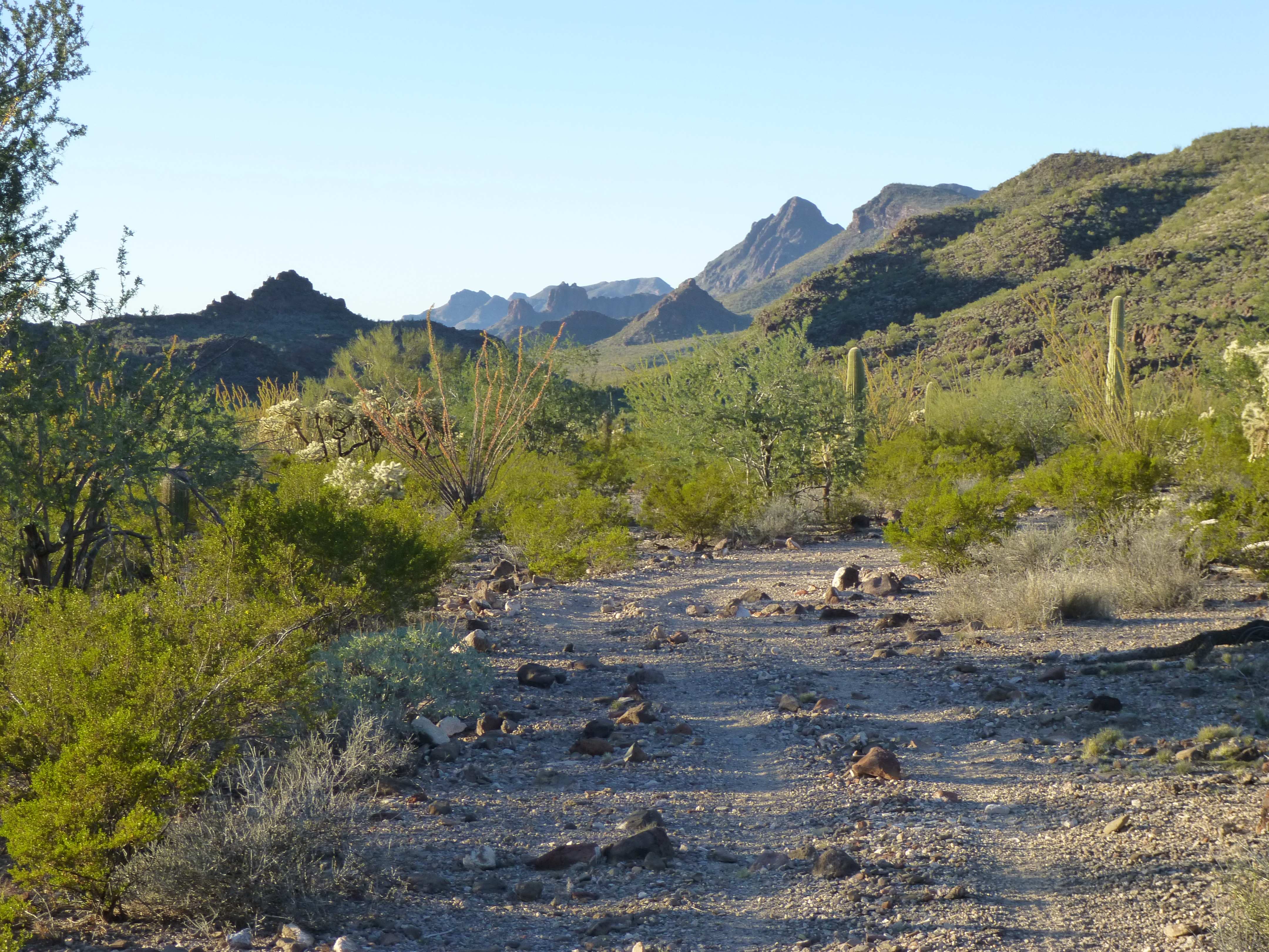
Satellite photos showed a road not on any maps, a faint bit of a road that crossed O’odham land from the east and entered Organ Pipe. I called my friend in the Border Patrol, who told me it was little used – sometimes by her agents, but more so by smugglers. Surprisingly, it was only seven miles from paved Indian Highway One to a good spot right in the middle of the group of peaks. Seven miles would only take a few hours on foot, so it was decided.
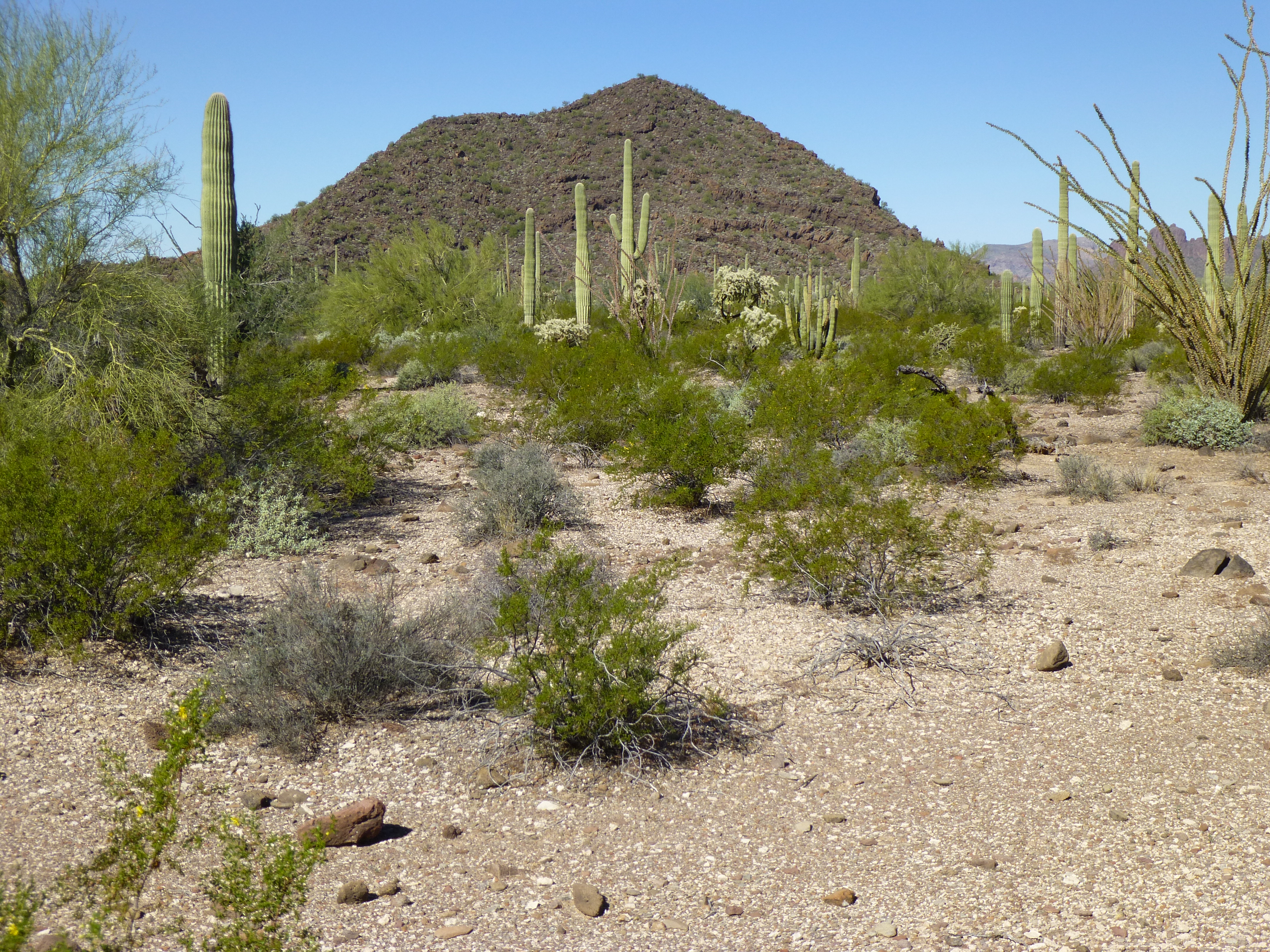
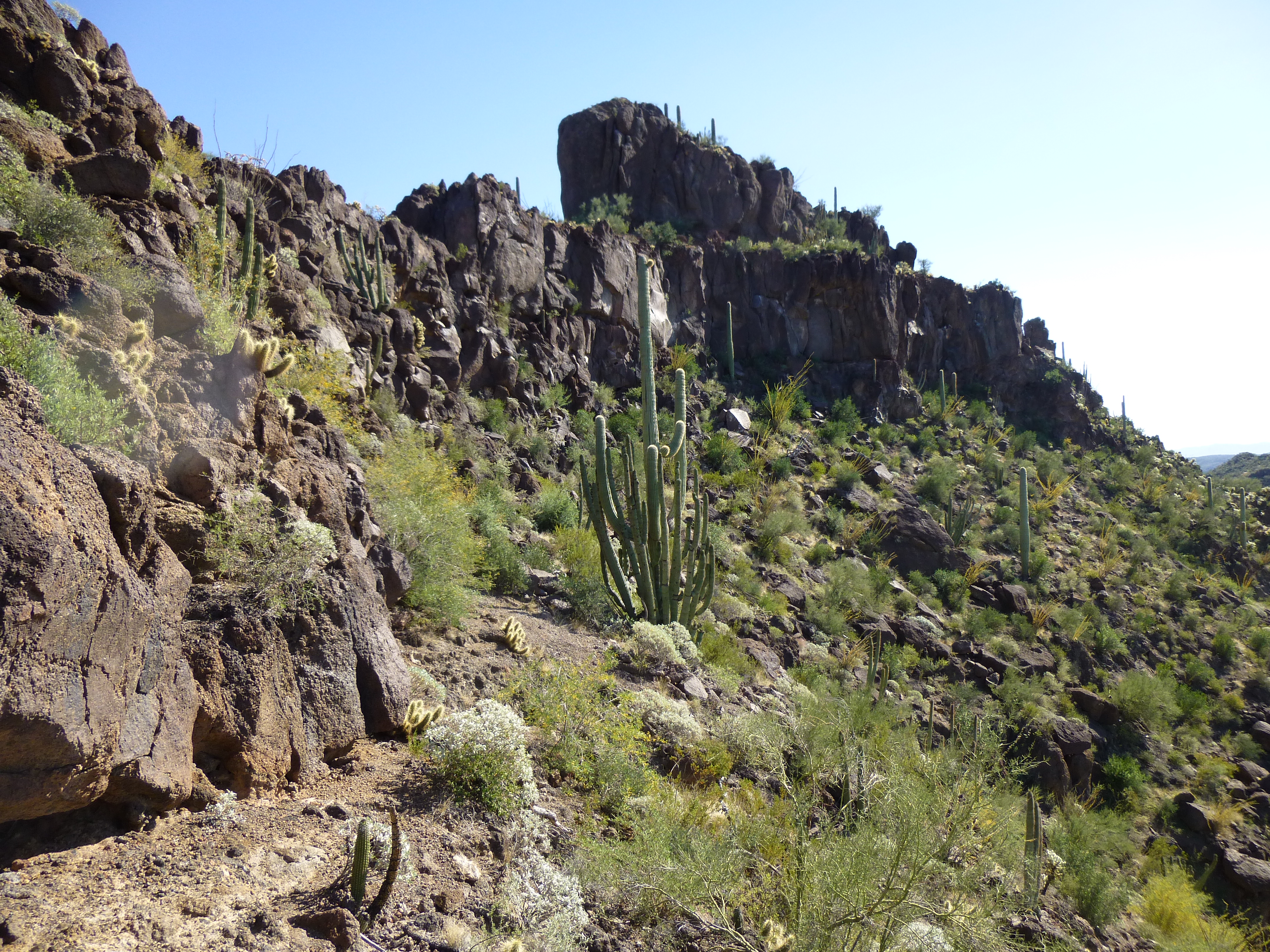
Armed with my O’odham permit, as well as my Senior Pass for Organ Pipe, I headed in one fine autumn day in November. My mystery road left the highway and headed west across flat ground. passing south of Point 2181 and then going northwest to pass around the north side of Peak 2473, which I had climbed back on September 10th of 2005. So far, so good. Through a gentle saddle, then a drop down into Ali Wua Pass. Once in the pass, it was downhill for a couple of miles. I was heading northwest in a deep valley, the Sierra de Santa Rosa on my left and the Ajo Range on my right. The road was easy to follow, crossing the wash multiple times. I had a constant, tantalizing view of Peak 3704 in the distance.
Looking NNE to Peak 3704
Where the valley ended, the road climbed out of the wash and uphill just south of Benchmark 1877. This was the northernmost tip of the main spine of my range. From here, it was all downhill and south another mile to the perfect camp site. Shadows were long, and I knew I’d lose the sun within minutes.
From camp, looking ESE to Peak 2614 at sunset
Making sure I was well hidden, I settled in for the night. The Sonoran Desert is heavily vegetated, so there was no problem finding what I felt was a secure spot. My main concern was being spotted by smugglers, who often travel at night. The moon was almost full, so everything was nicely illuminated – I slept in a thick stand of trees and cacti – you would have almost had to have stepped on me in order to discover me. This may sound like a lot of paranoia, but out in these parts you can’t be too cautious.
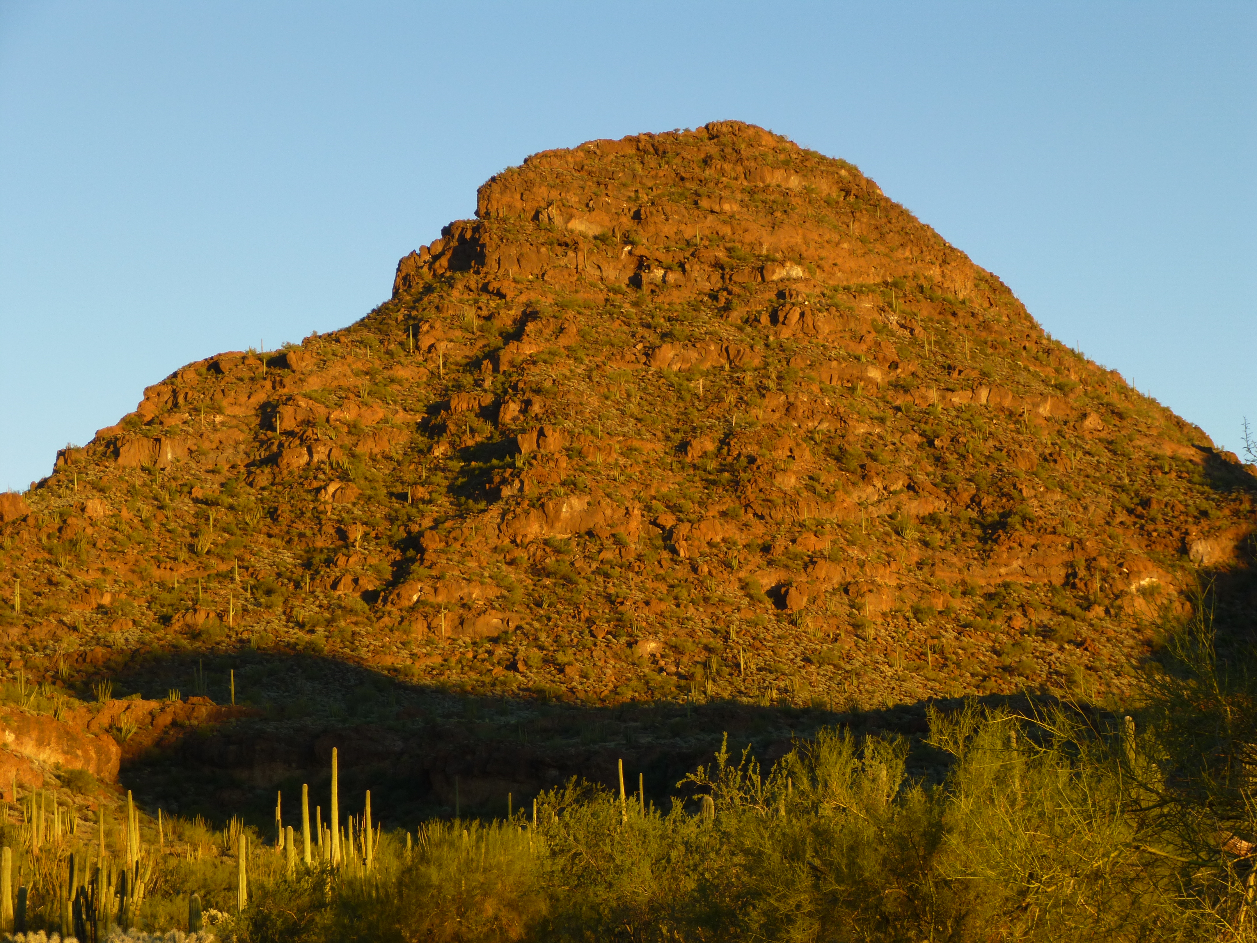
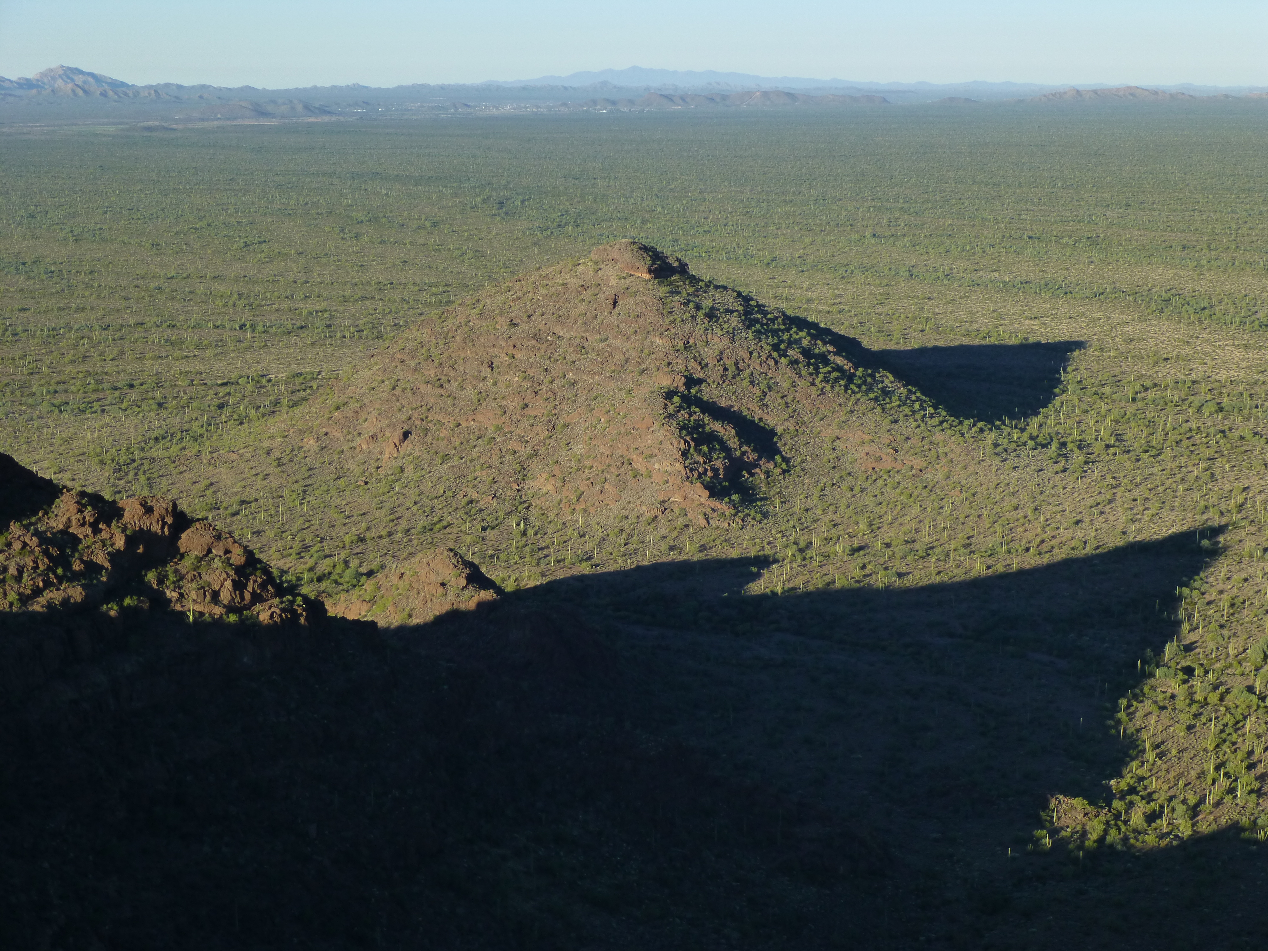
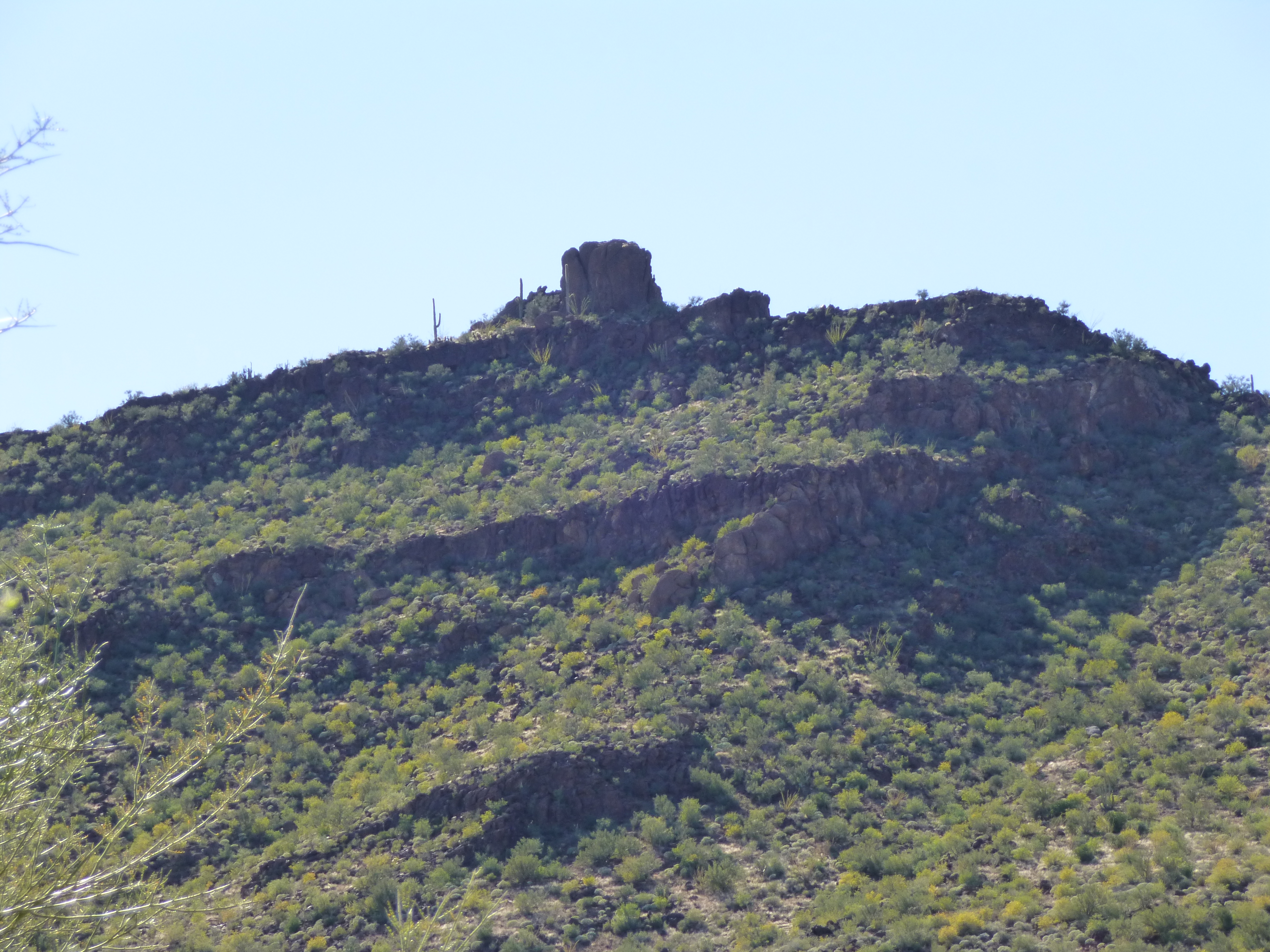
I slept quite well, considering, and was moving at first light. Most of my gear was hidden well and marked by GPS. With just a day pack, I set out at 6:30 AM. My idea was to climb three of the peaks in one push, then do the fourth one later. My preference is to do the hardest one first, and that had to be Peak 2614. A short march southeast and a gain of 300 feet landed me at the saddle on the southwest ridge. Scanning the west side of the peak, I knew things were about to get messy. It was steep and cliffy, so I sat there and decided on a route. I got fooled a few times on the way up, but eventually gained the south ridge and climbed the last 300 feet to the summit on good rock. At the risk of sounding like a broken record – great views! It was just before eight o’clock when I left a register.
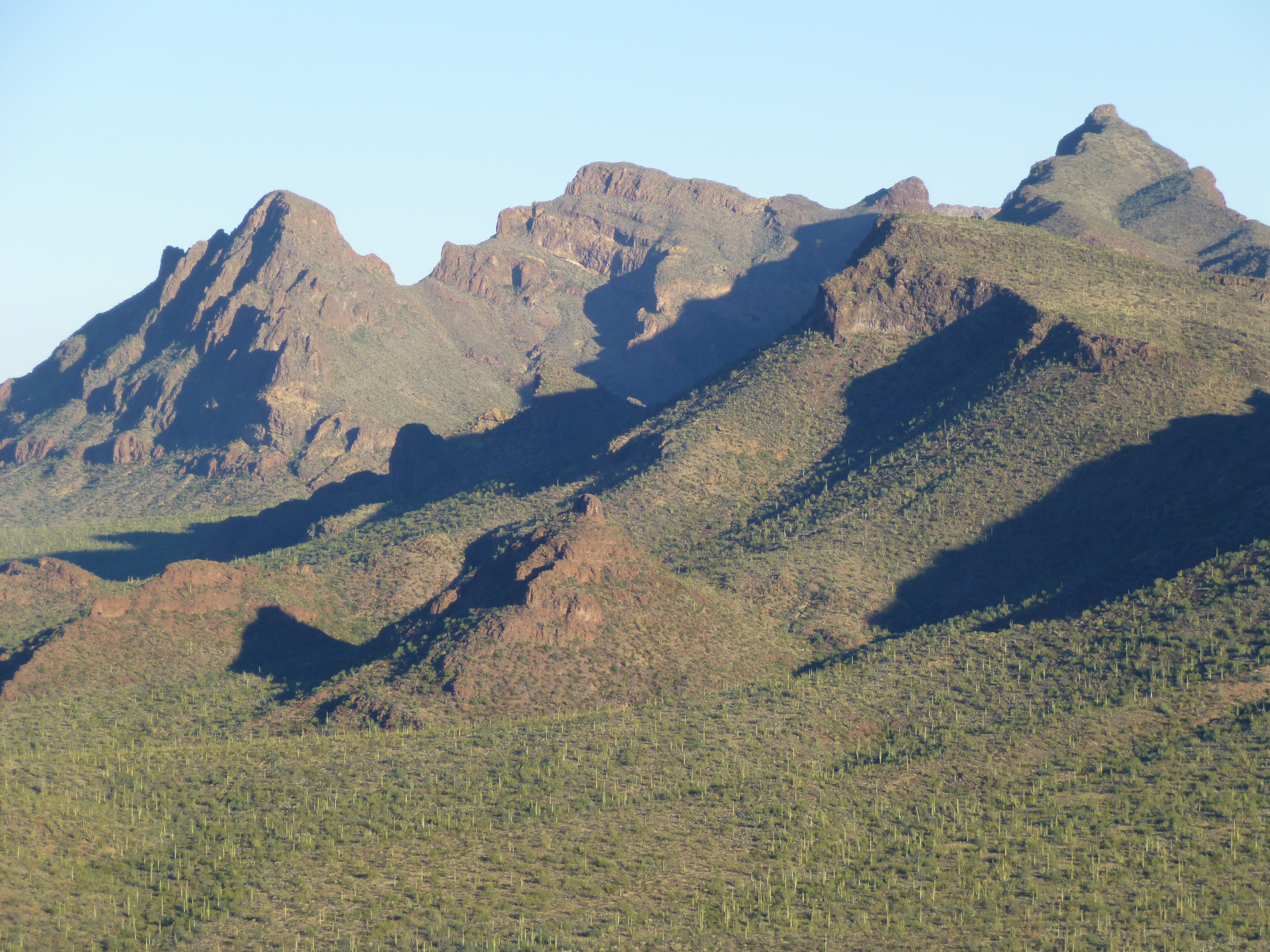
From Peak 2614, looking north to Peak 3704 (L), Diaz Spire (C) and Diaz Peak (R)
With no intention to descend via the same route, I dropped all the way down to the south saddle, then west into a nice basin. Although it’d cost me some extra distance, I elected to swing out on to the desert floor around a southern outlier of Point 2316 – a good choice, as it was quick and painless. On the way, I found these discarded water jugs. One of them is wrapped, and they are connected by a tump line which would go behind your neck.
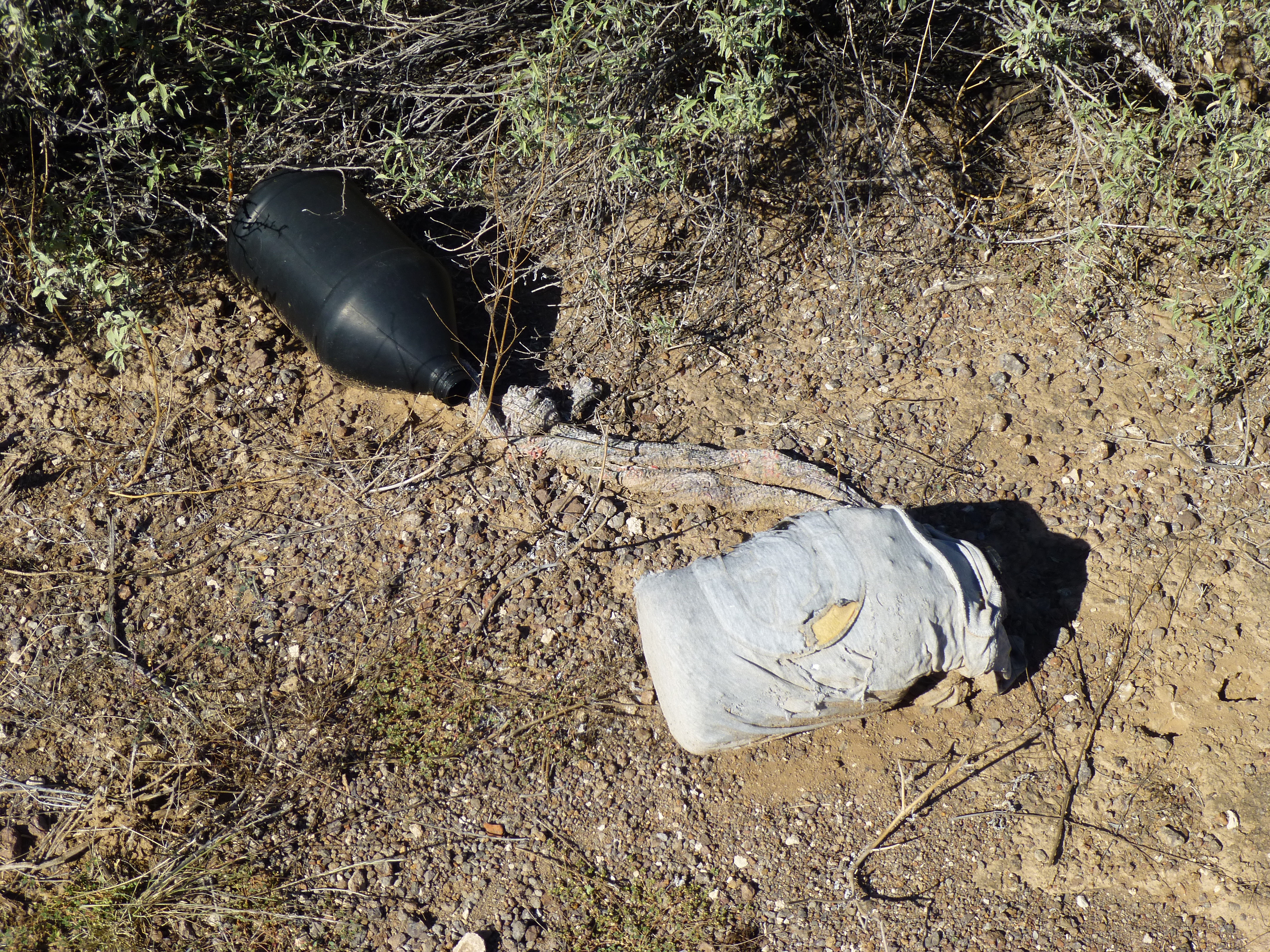
Water jugs
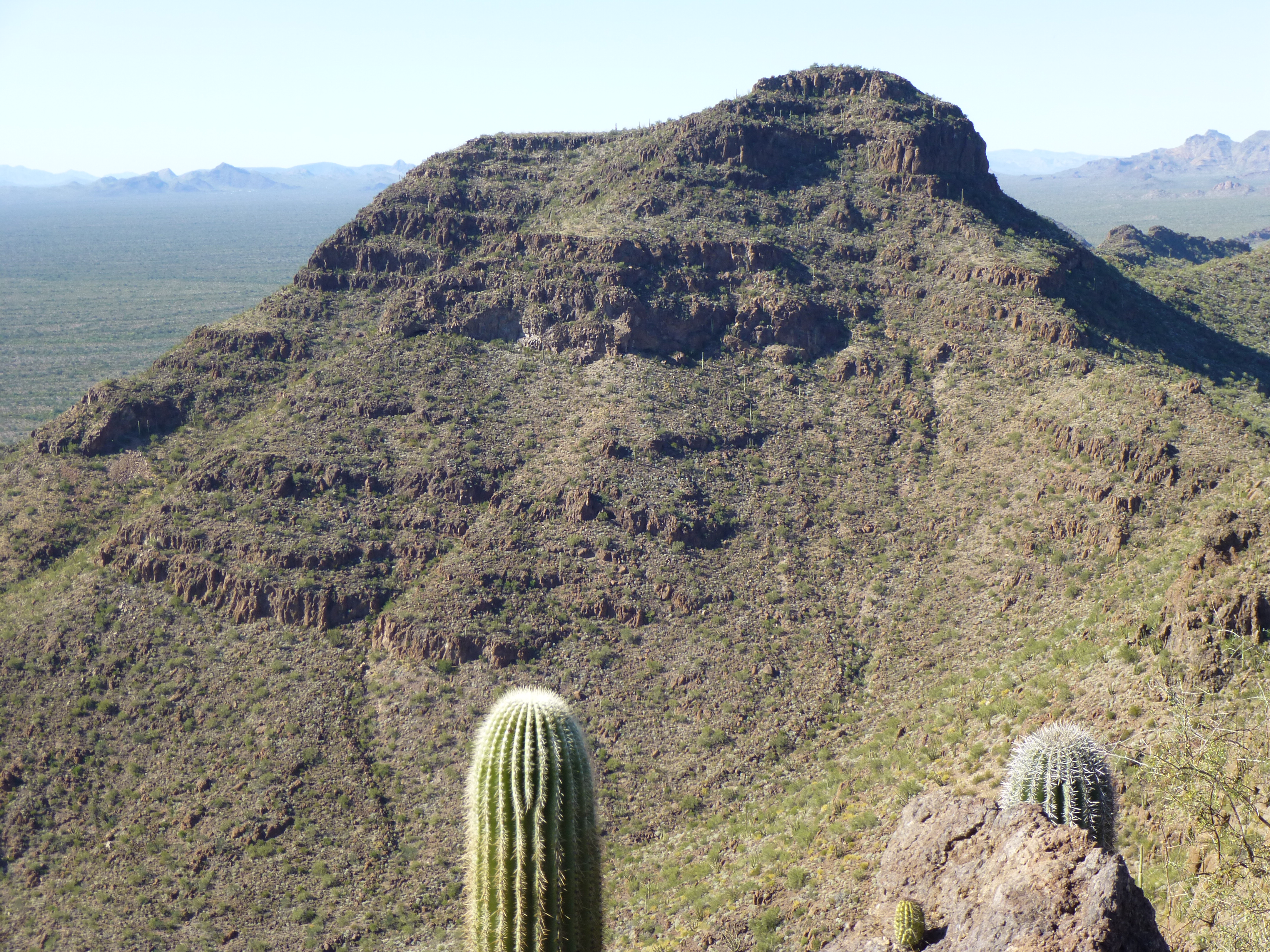
Crossing a deep wash, it was then an easy climb up to the top of Peak 2228 by 9:30 AM. Nice spot, no register, so I left one.
Looking west to Peak 2228 from the summit of Peak 2614
One more of the trio left to do, so I started down the north side to complete a traverse of the peak. I was stopped cold by a cliff that circled that whole side of the summit, so was forced to outflank it to the west. It was then an easy drop to the desert floor and a mile’s walk north to my last one, Peak 2194, easily climbed by its south slope.
Looking northwest up Peak 2194
As usual, I left a record of my passing, then headed down and back to my gear where I had spent the night. It was 11:25 in the morning, five hours since my departure. Organizing my gear, I set out the way I had come in to this valley, looping around the northern tip of the Sierra de Santa Rosa and then heading south.
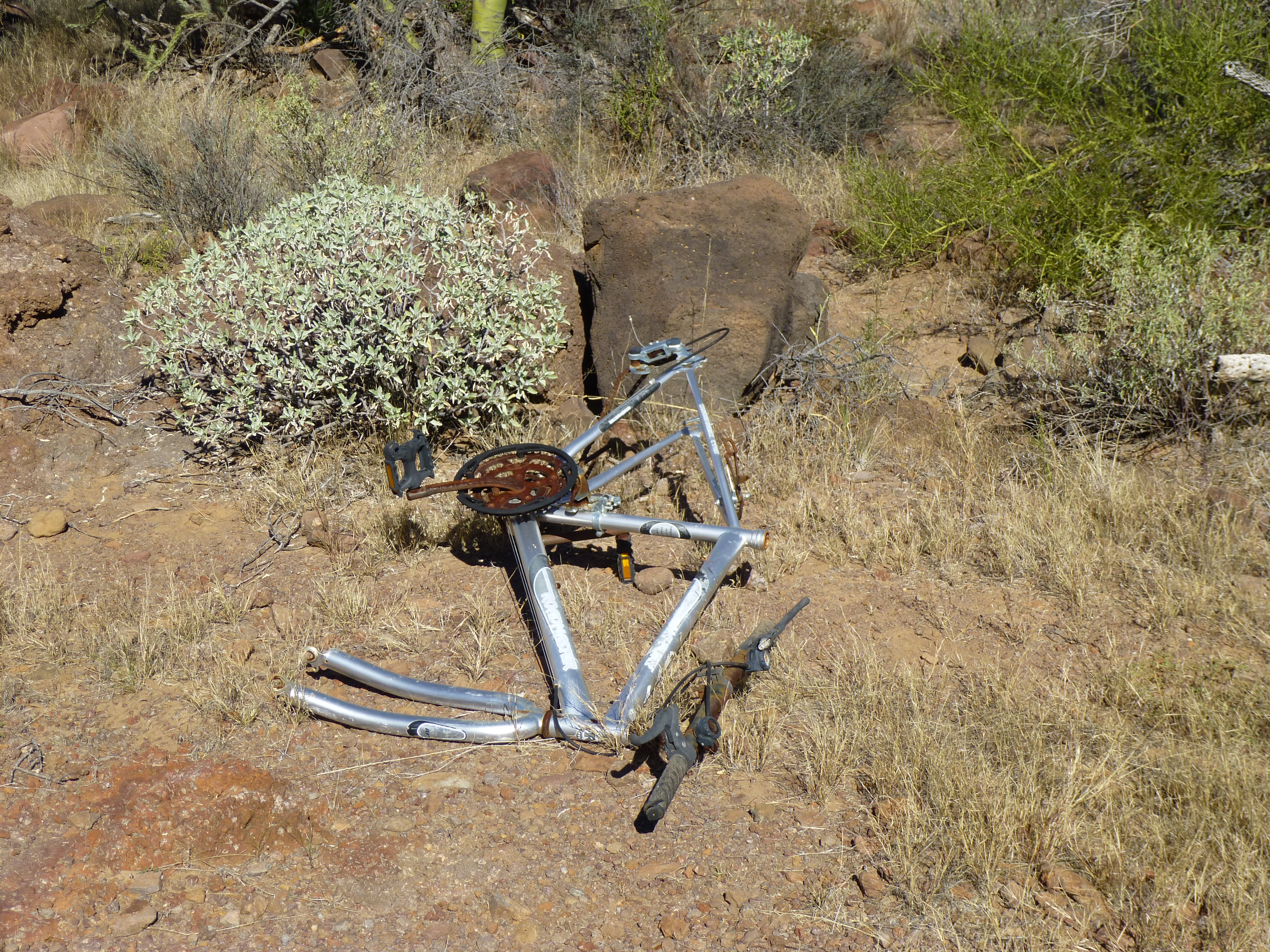
All that remained of a bicycle that some border-crosser had used
Once again through Ali Wua Pass, I walked another kilometer and dropped my pack in the valley bottom to the east of my final peak. This one had my attention. The summit looked steep, so I was keeping my fingers crossed.
Looking southwest up to the summit of Peak 2771
It was a 700-foot climb up to a notch in the north ridge of my peak, where I could get my first good look at the actual summit area. From that vantage point, the most obvious thing that held my attention was – garbage. I have stood on top of a lot of mountains in the border region, and seen a lot of trash left there by border-crossers, but the amount of garbage I found on that ridge blew me away. A lot of people had spent a lot of time there, smugglers of course, and what a bunch of pigs they were. There was a well-used path along the steep west slope of the summit area which I followed over to a spur dropping southwest from the summit itself.
Looking south along the west side of the summit area of Peak 2771
This I used to climb the last hundred vertical feet to the top of Peak 2771, where thankfully I found the area clean of trash. I didn’t leave a register, as I knew that the trash-pigs would soon destroy it. The time was 2:00 PM.
From this, the second-highest peak in the range, I was able to take a good photo of Peak 2921, the range high point.
Looking northwest to the range high point of the Sierra de Santa Rosa, from Peak 2771
Looking southeast to the village of Ali Chuk, I saw that Menager’s Lake held water. It is usually dry, but after good rains, this low-lying spot can fill with runoff from Ali Chuk Wash, as well as that from streams to the east. Only a few spots on the reservation can hold water like this, so it is a rarity indeed. In this telephoto shot, the lake can be plainly seen at the southeast end of Cerritos de la Angostura.
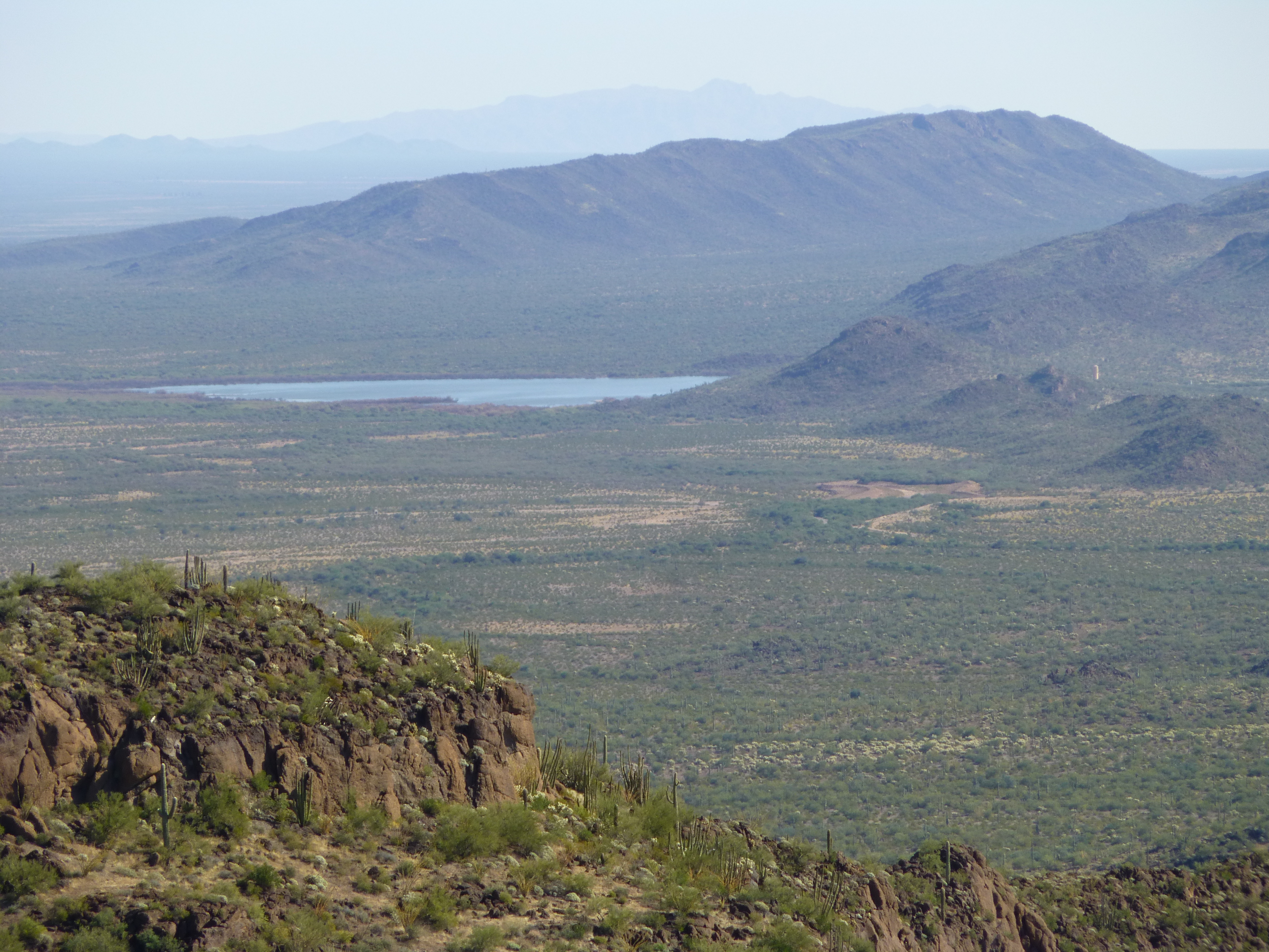
Menager’s Lake
Saddened by the fact that this, perhaps the nicest climb in the range, had been ruined by all the trash, I made my way back down to the valley bottom. All I had to do now was make my way back out to the highway, a straightforward walk of just over three miles. En route, I came across this vehicle abandoned and wrecked. Almost certainly, smugglers had stolen it and were trying to evade law enforcement, losing control and taking a header into a ditch.
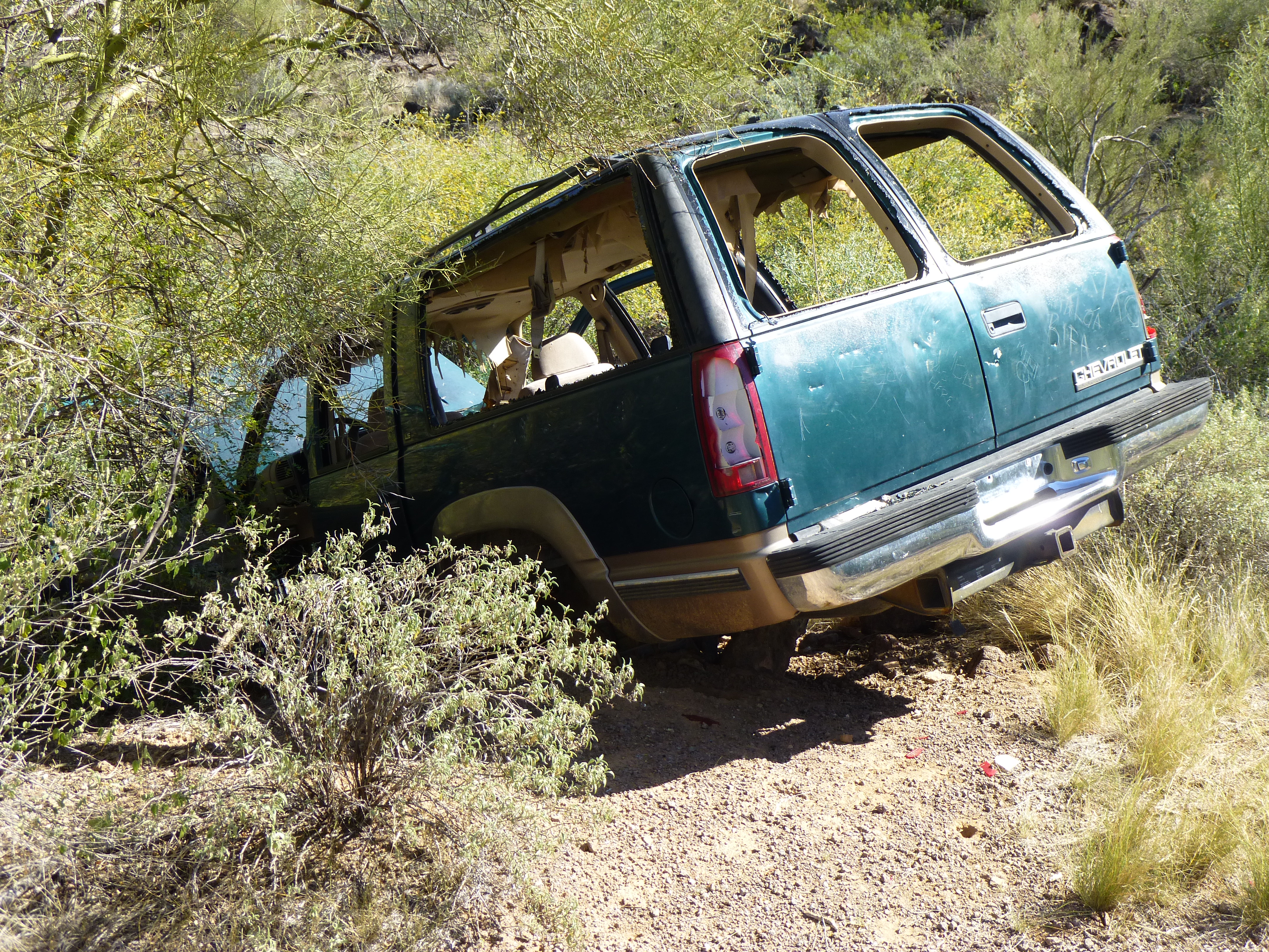
Stolen vehicle just inside the Organ Pipe boundary
As I neared the end of my trip, I thought back on my 27-year involvement with the Sierra de Santa Rosa. Three trips had been needed to climb all seven of the peaks, but each of the three had been an adventure. No regrets.
Please visit our Facebook page at: https://www.facebook.com/pages/Desert-Mountaineer/192730747542690