
Near the town of Ajo, Arizona is a chunk of desert which is covered by a topographic map sheet called the Chico Shunie quadrangle (“quad” for short). The first time I was in that area was back in 1987 – I had gone to climb Peak 2161, the high point of a tiny range with the unlikely name of the John the Baptist Mountains. When I see an odd name like that, I have to wonder how that came about – was the person who came up with the name wandering in the desert like John the Baptist, eating locusts and wild honey? In any case, on November 10th, I did the climb, then promptly forgot about it. There were 12 other peaks on the quad, but none of them were on my radar at the time.
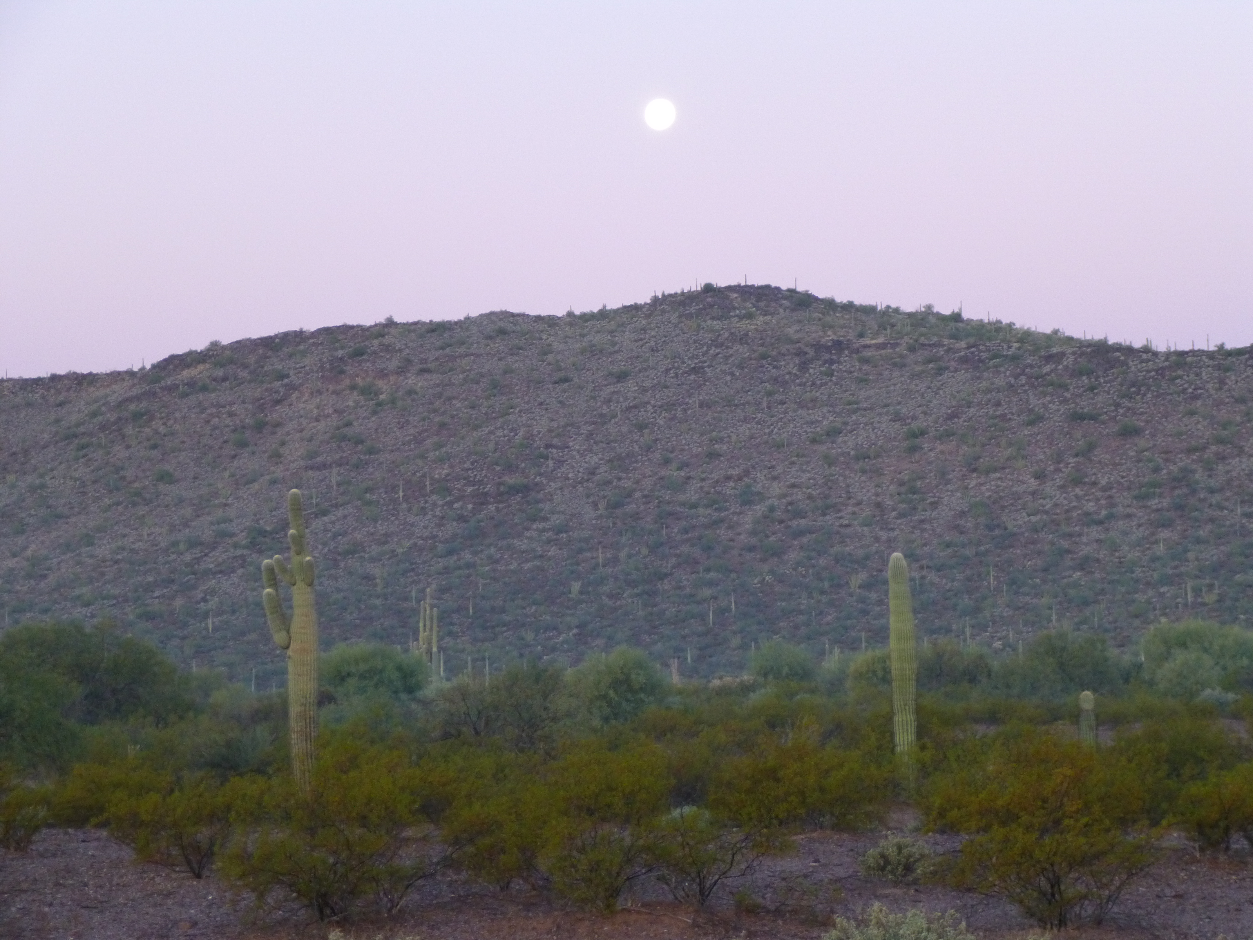
Full moon setting over Peak 2161
Years passed. Some friends pointed out to me a group of bumps called the Chico Shunie Hills, so it seemed like a good idea to go in and climb Peak 2150, the high point, as they had done. It was a warm February 16th in 2001 when I did just that. It was easy to see that a lot of mining activity had taken place in the vicinity – in fact, the old San Antonio Mine was on the mountain itself.
Some years later, my friend Paul and I went back, this time to climb a prominent peak known only as 2976, which was only about a mile west of Ajo. It was mid-November of 2009. Not knowing much about the area, we approached it from the east, wasting much time in loose, gritty gullies and steep hillsides, trying to approach the summit. Much to our surprise, we found an excellent trail on the north ridge, which we followed the last bit of the way to the summit. After signing in to the register, we used the trail for the start of the descent, but soon bailed off the ridge and scrambled down to the east to return to the truck.
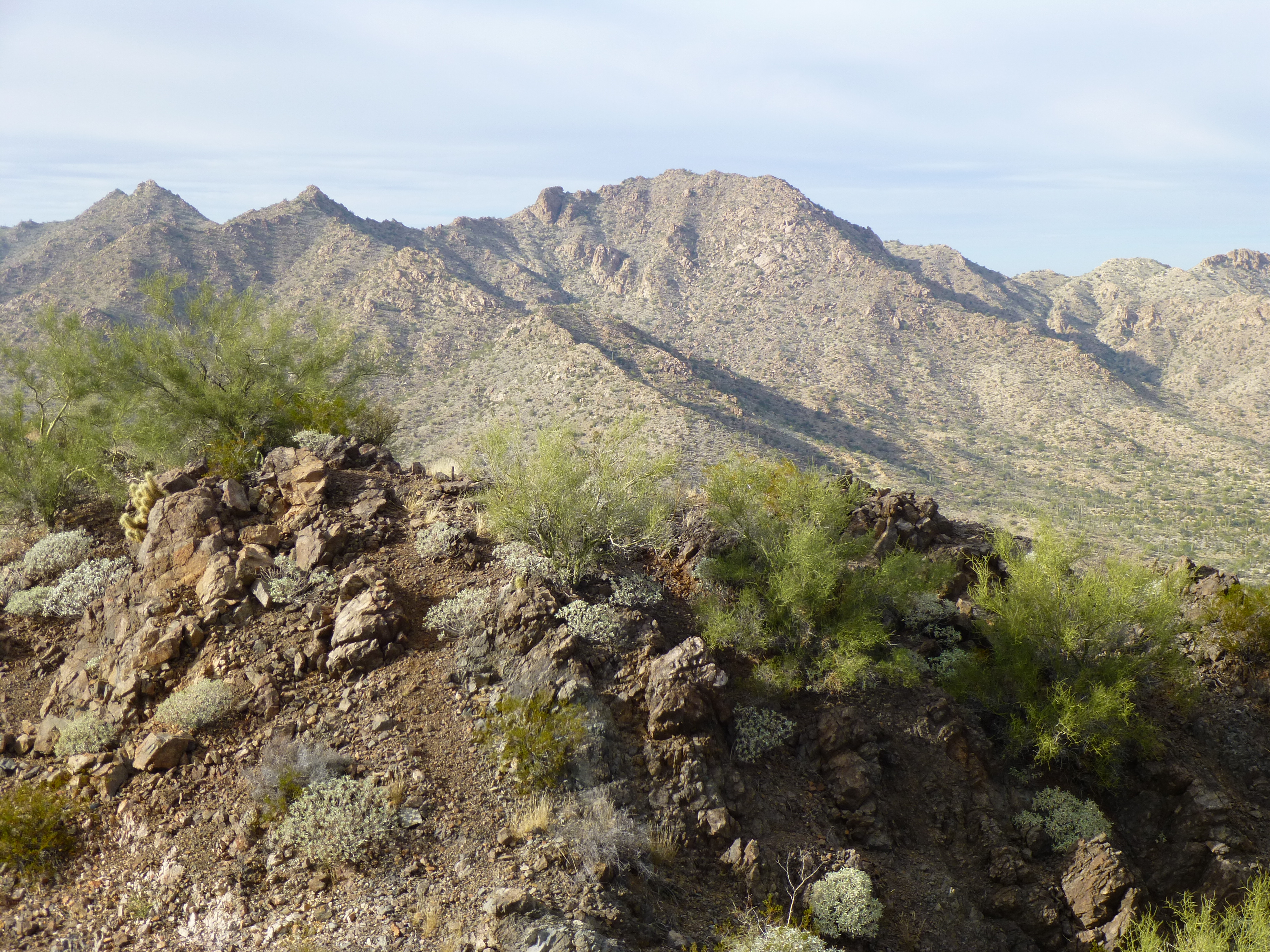
Looking northwest to Peak 2976
Four more years passed. On December 26, 2013 I was on my way to meet Andy Bates to attempt Sheep Peak. With an extra day on my hands, I thought I’d try Peak 2022. I parked and headed southwest across the desert, and in under an hour I stood on top.
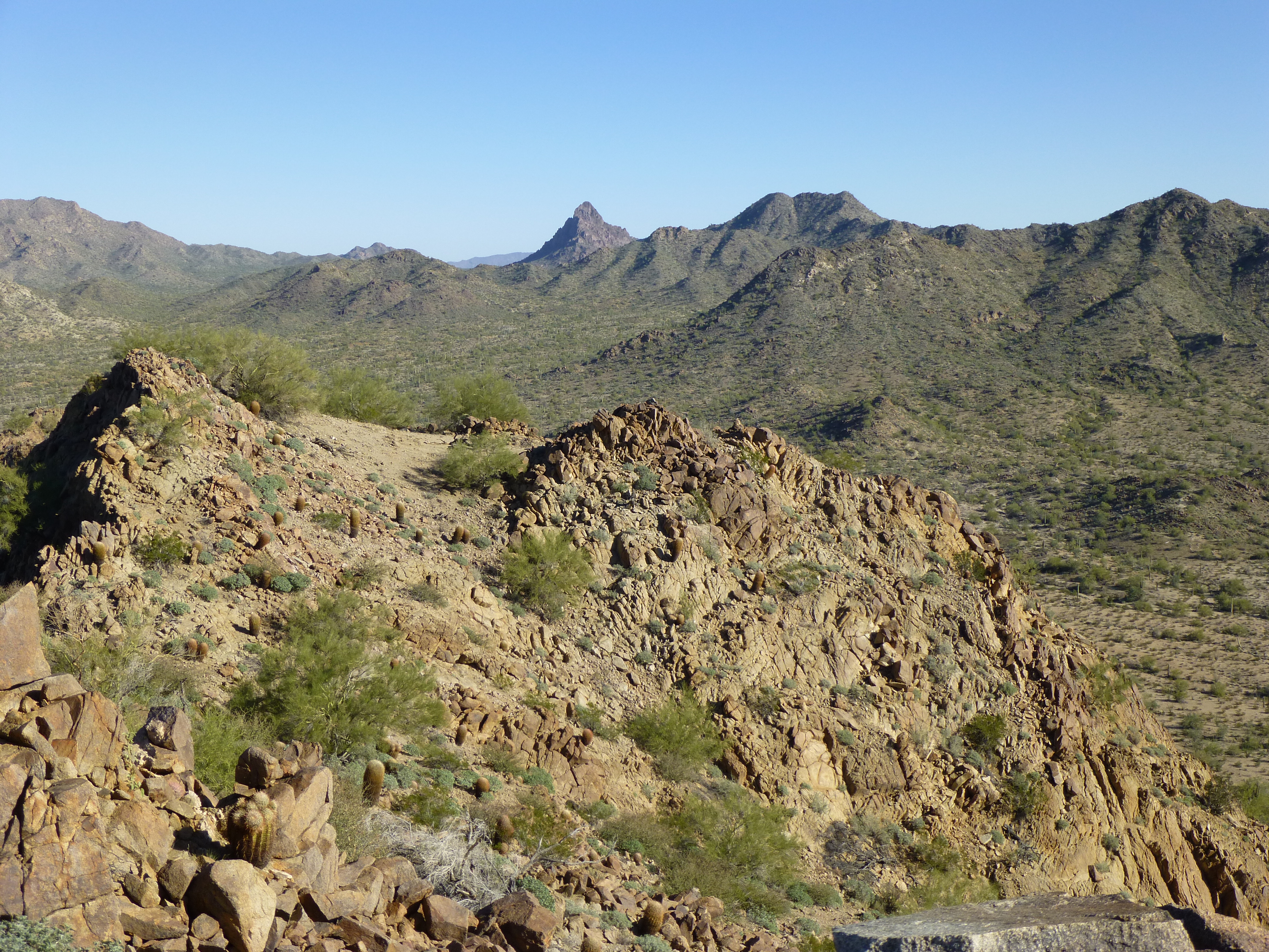
Looking southeast from the summit of Peak 2022
The register had been placed by Barbara Lilley and Gordon MacLeod, and I was happy to sign in. This peak lies a mere two miles from the one-square-mile enclosure where the Cabeza Prieta National Wildlife Refuge maintains a captive breeding program for the critically-endangered Sonoran pronghorn antelope.
By now, there was no question that I was paying attention to the Chico Shunie quad, and I saw I still had nine unclimbed peaks there. I knew the stopper would be Ajo Peak – it’d require calling in the big guns. Andy Bates stepped up (as he has done many other times) and offered to lead it. On October 10, 2014, an hour before we met, I climbed nearby Peak 2434 by its north slope late in the afternoon. Several others had already signed into the register.
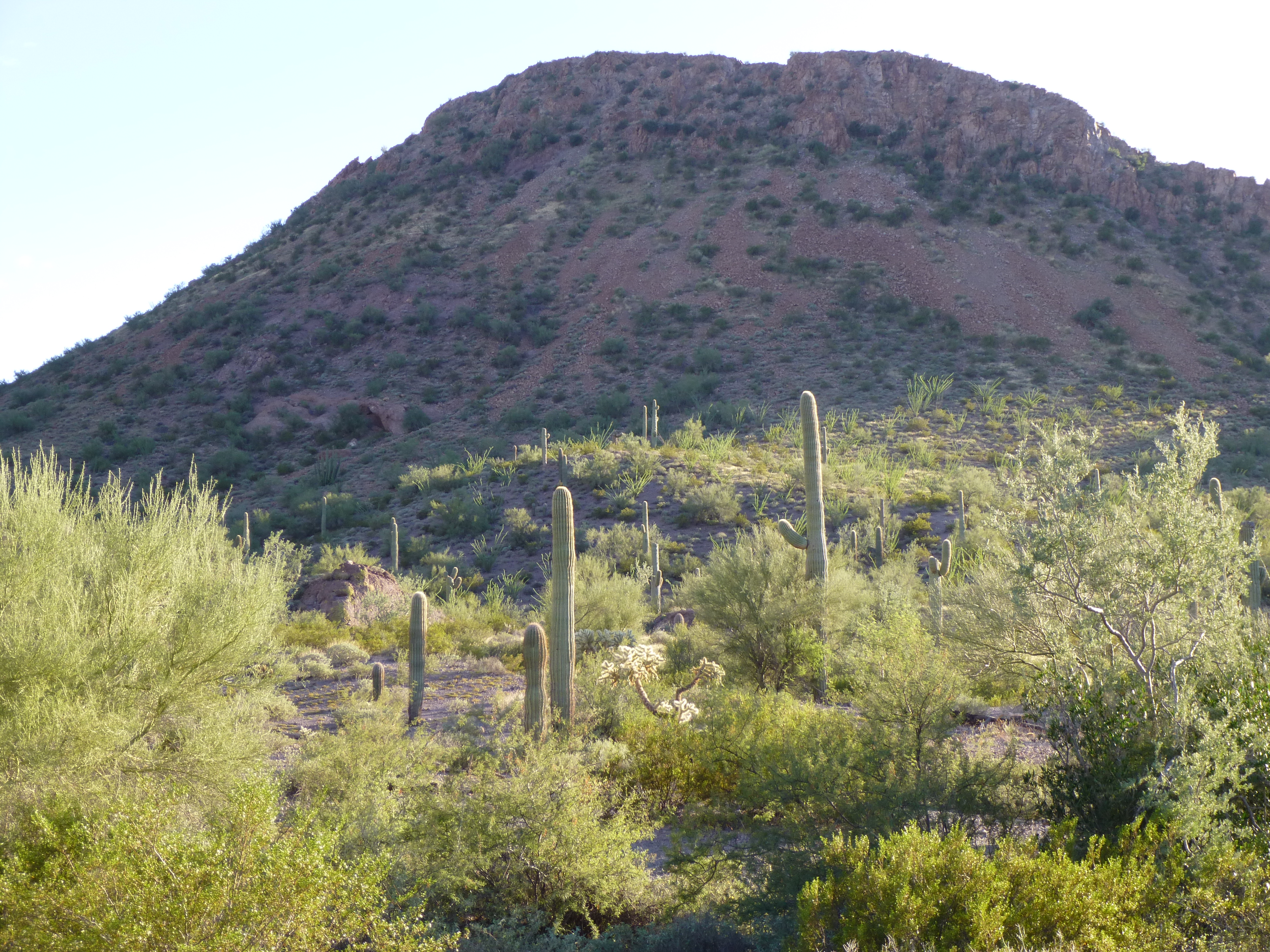
Looking south to Peak 2434 near sunset
I headed down and drove to the meeting spot, where Andy was already waiting. Check out this view from where we camped.
The view of Ajo Peak from our campsite
The next day, October 18th, we climbed both Ajo and North Ajo Peaks in one long 12-hour push. That day has its own story, which you can read at the post called “Ajo Peak” on this website. With all of the obstacles out of the way, I knew I could now finish off the quad.
Andy Martin and I were back in the area in December, primarily to climb in the Batamote Mountains. That done, we headed over to Ajo. While Andy climbed Peak 2976, I parked on the Scenic Loop Road and hustled east up Camelback Mountain (elevation 2573′).
Looking north to Camelback Mountain
On the top, I met this group of firefighters from the local fire department.
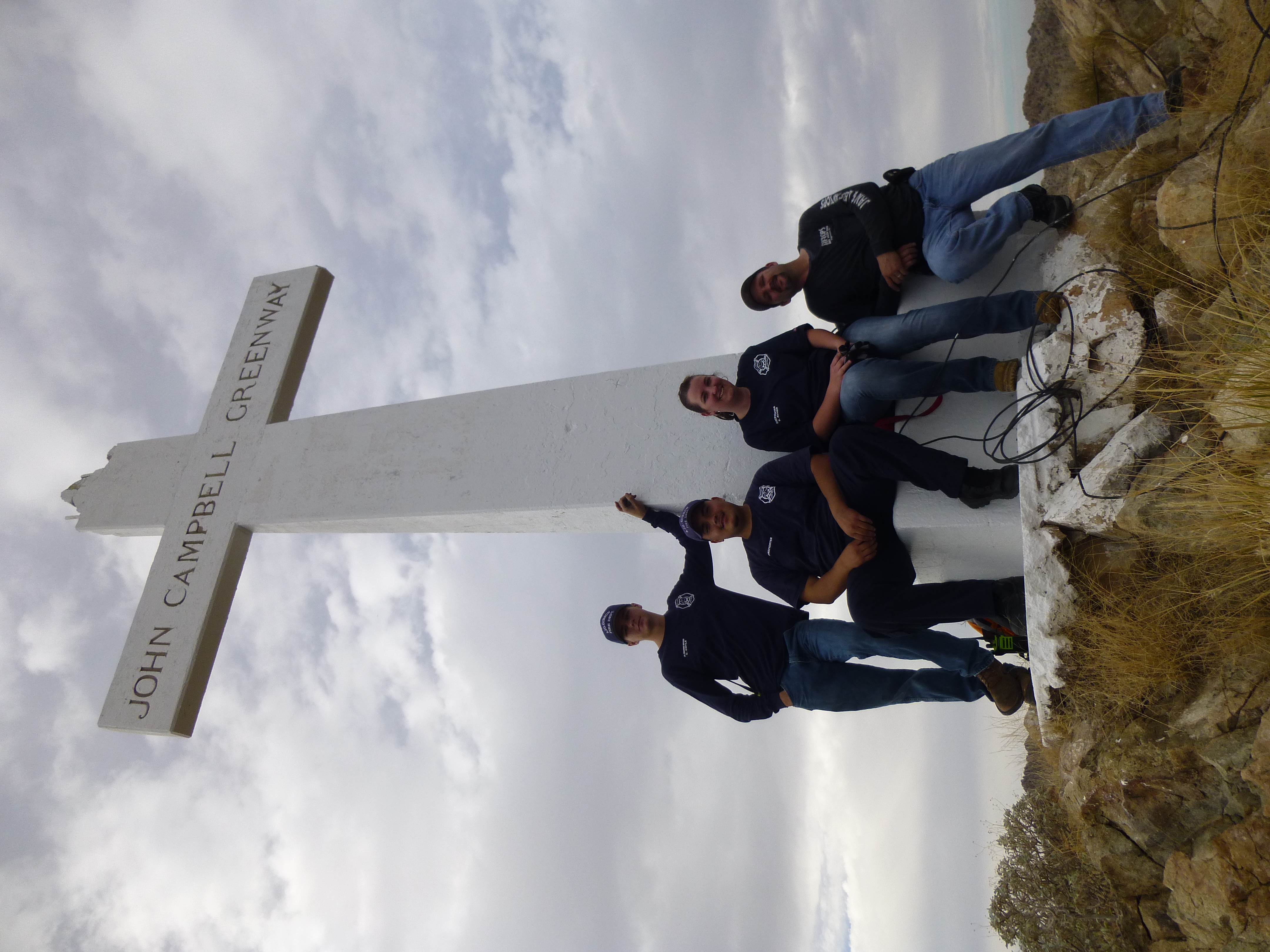
Firefighters on top of Camelback Mountain
They had just finished running an electric cable up a steep cliff. Each year, the town illuminates lights on this big cross during the Christmas holiday season. Thanks to them for their service as first-responders.
After returning to my truck, I drove farther south and climbed Pinnacle Peak, elevation 2,523′, via its west side. From the top, I had an amazing view of the huge open pit of the New Cornelia Mine. This mine is historic, having been in operation from 1911 to 1984. Actually, its ore was first gathered 300 years ago by Spaniards. It was Arizona’s first copper mine, started in 1854, and became Arizona’s first open pit mine in 1916. Studying this mine in my ore deposits class as a geology student in Canada was de rigeur. Back in a 1988 edition of the Guiness Book of World Records, it states that the tailings from this mine, which act as a dam to impound the tailings pond, were listed as the largest dam on the planet in 1973, with a volume of over 274,000,000 cubic yards. The dam had a perimeter of 8 miles, with an average height of 98 feet. Even though they dug 1,100′ down into the ground, they know there’s still ore that goes down another 700′ below that. Maybe someday they’ll go after that too.
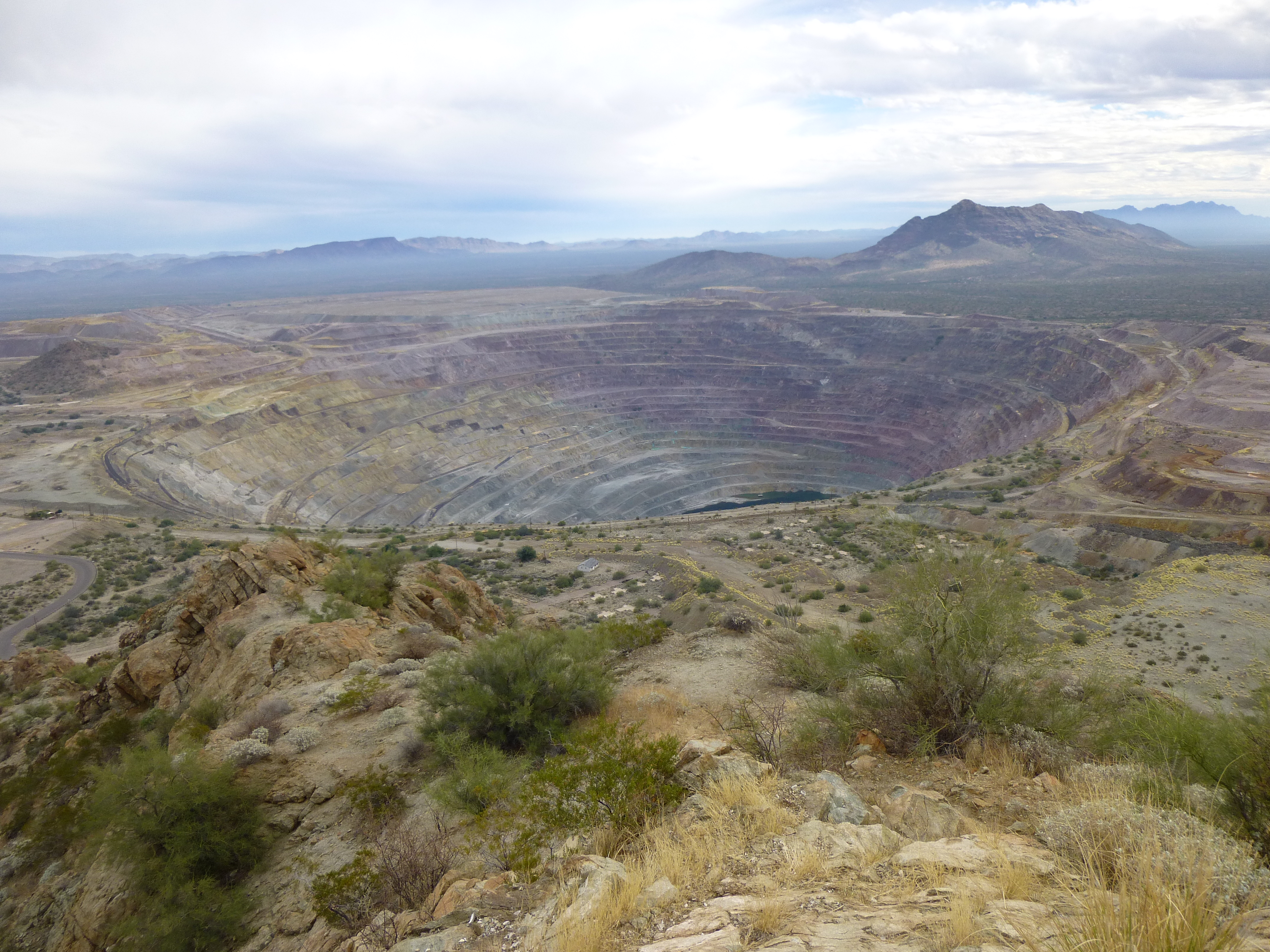
The pit of the New Cornelia Mine
Hmmm, now that I was mostly done, it seemed like a good idea to finish off this Chico Shunie quad – after all, there were only four left. On January 9, 2015 I drove to the eastern edge of the Cabeza and camped for the night. All set for an early start, I crawled into my sleeping bag in the back of my truck. Since it was going to be a mild night, I left the back of my truck open. Around midnight, something woke me up. It was pitch black outside, thick clouds obscuring the moon. I distinctly heard footsteps, the crunch of many feet on the dirt and gravel nearby. No voices, just plenty of footsteps, which took many seconds to pass by – indocumentados, passing in the night, heading to some promised pick-up point farther north. When I could no longer hear them, I got up and went outside to take a leak – silence was all that greeted me. I turned on my headlamp to the brightest setting and shone it in the direction of their travel, along a gully. I swept the area with the beam, illuminating trees and hillside. That was all it took – distant voices speaking Spanish floated back to me on the night air, then quickly died away. No doubt they’d seen my truck as they passed nearby, stopping all talking so as not to attract attention. I crawled back into my bag and slept peacefully the rest of the night – incidents like this are, sadly, an increasingly-common occurrence near the border.
Very early the next morning, I set out west on the old road, past the locked gate, into the Cabeza, traveling three and a half miles before I left the road and headed south. It was then that I was greeted with this amazing sunrise.
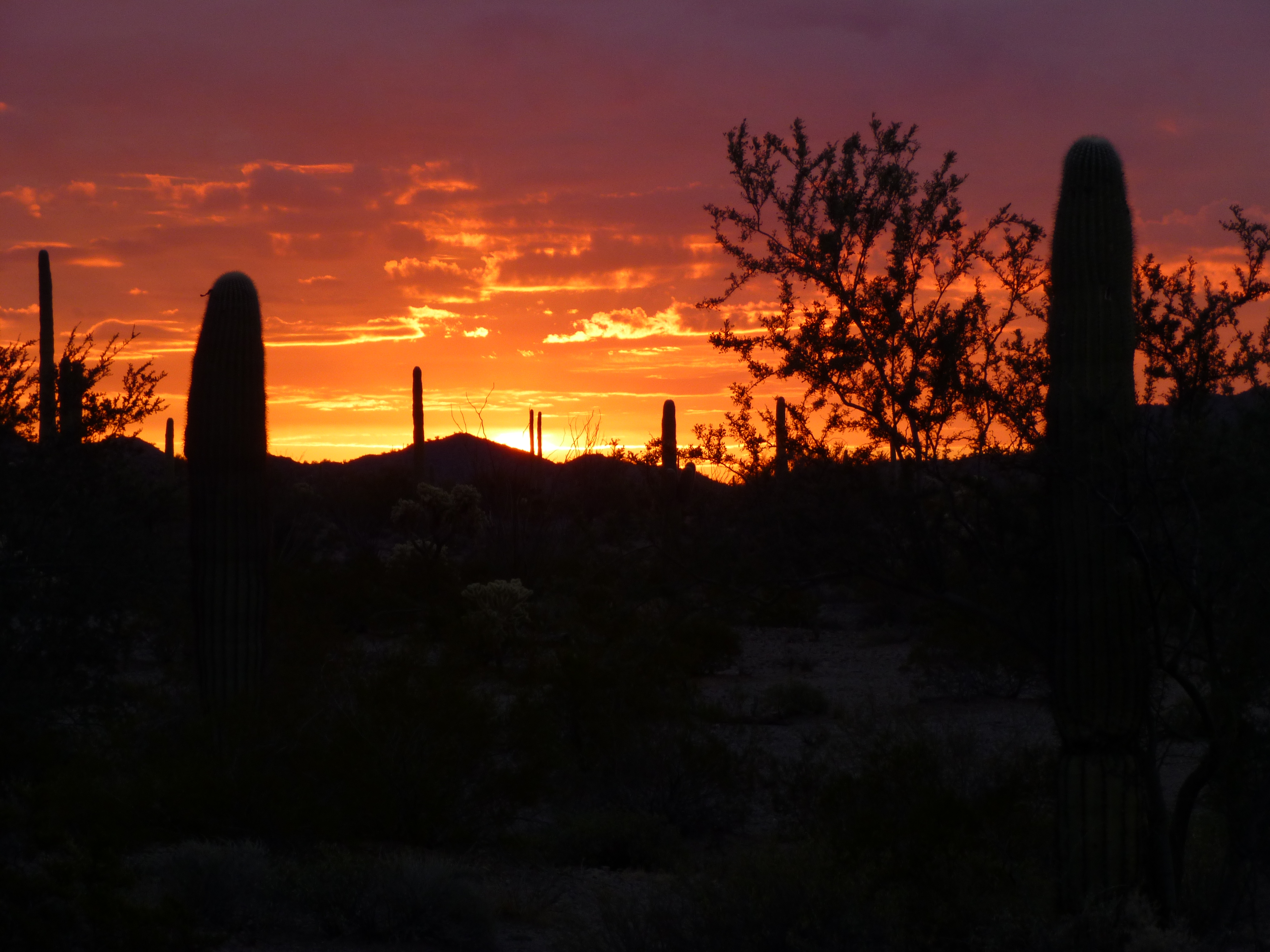
Desert sunrise near the Chico Shunie Arroyo
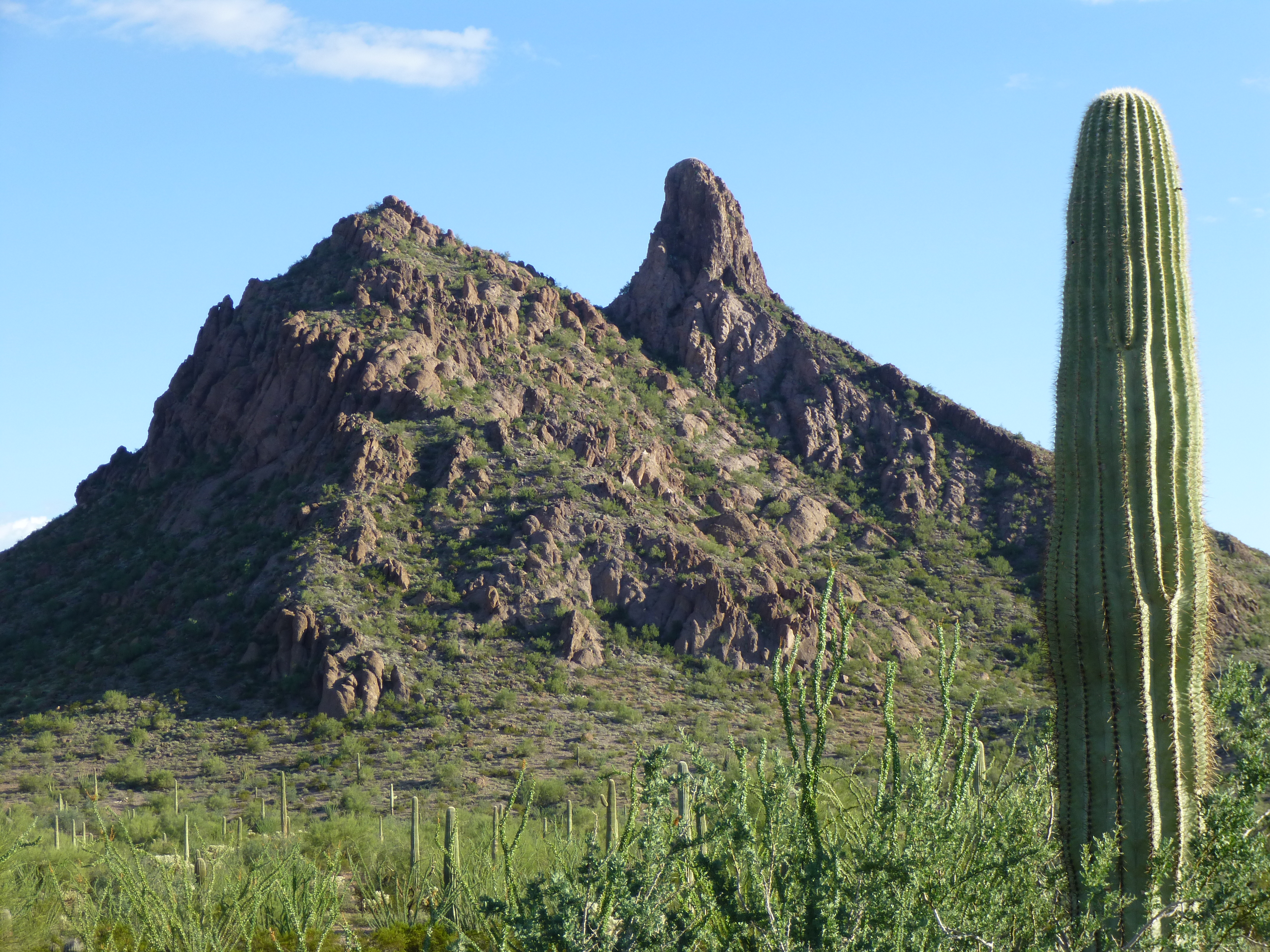
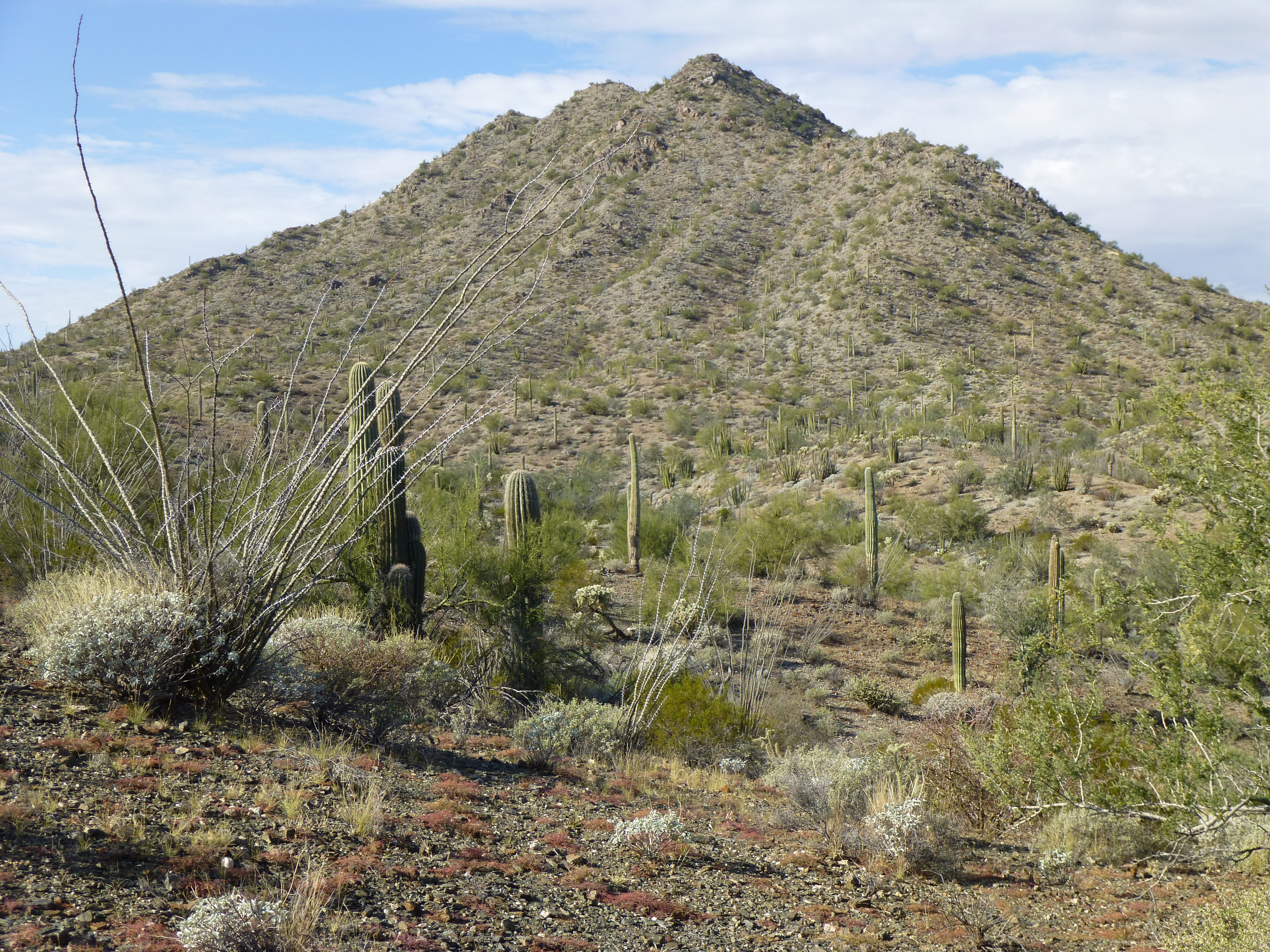
Crossing the Chico Shunie arroyo, I continued south and soon stood at the base of Tepee Butte, elevation 1,936′.
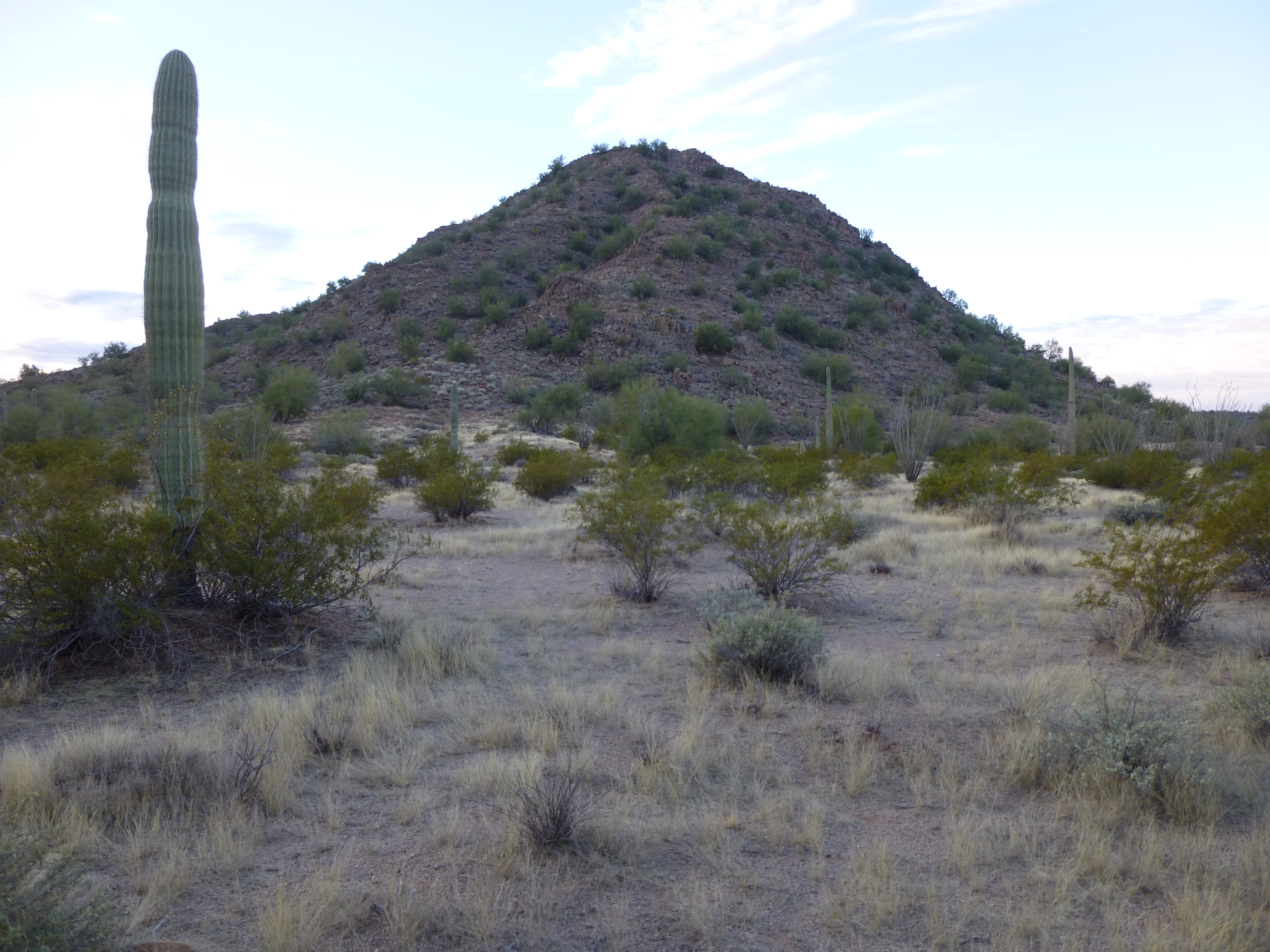
Looking south to Tepee Butte
It didn’t take long to climb the granitic north side of the peak, and I was on top at 8:25 AM. Two others had stood there before me but there was no trace of a register, so I left one in the sizable cairn. Of the unhindered 360-degree views, two of my favorites were these:
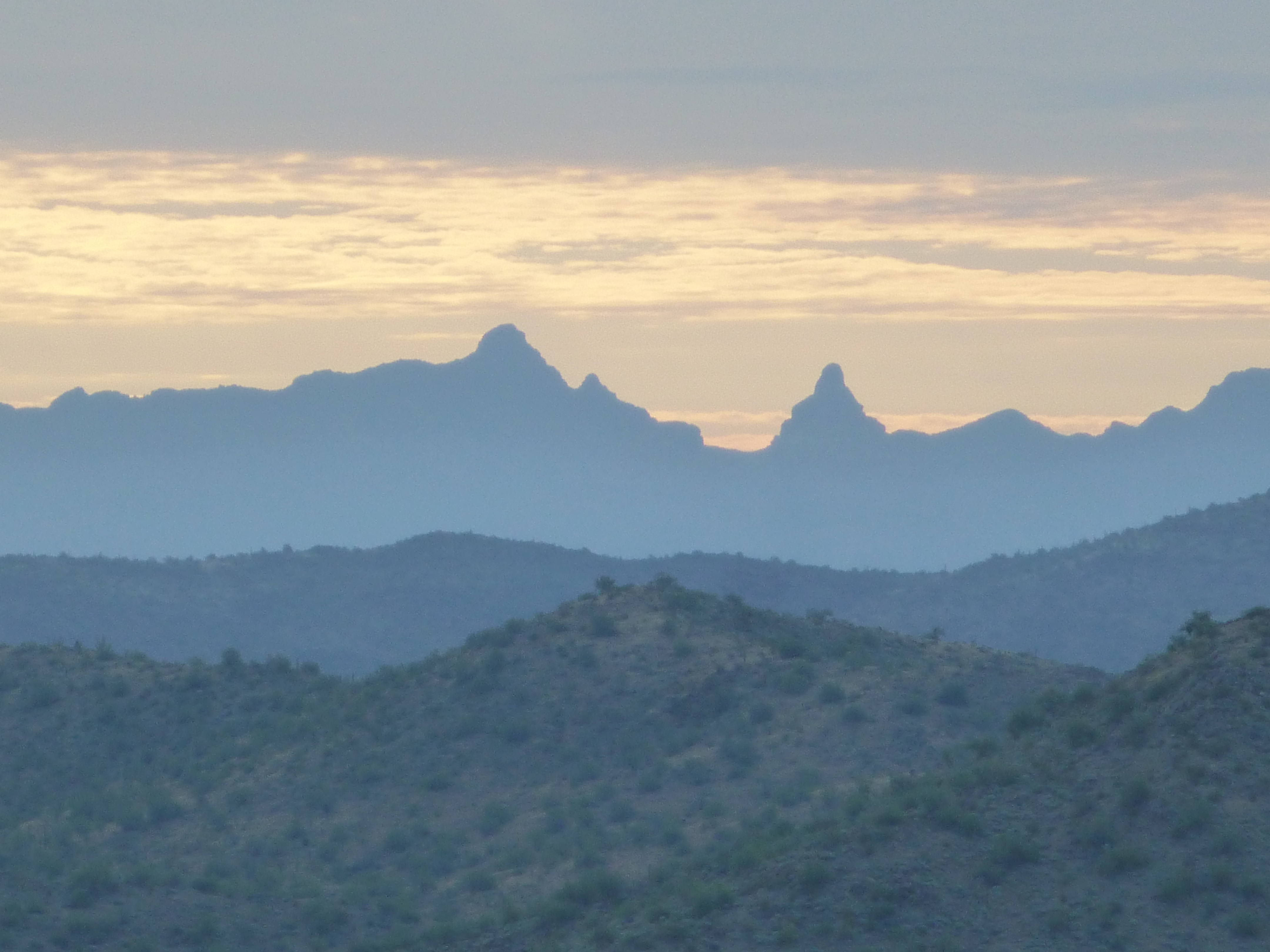
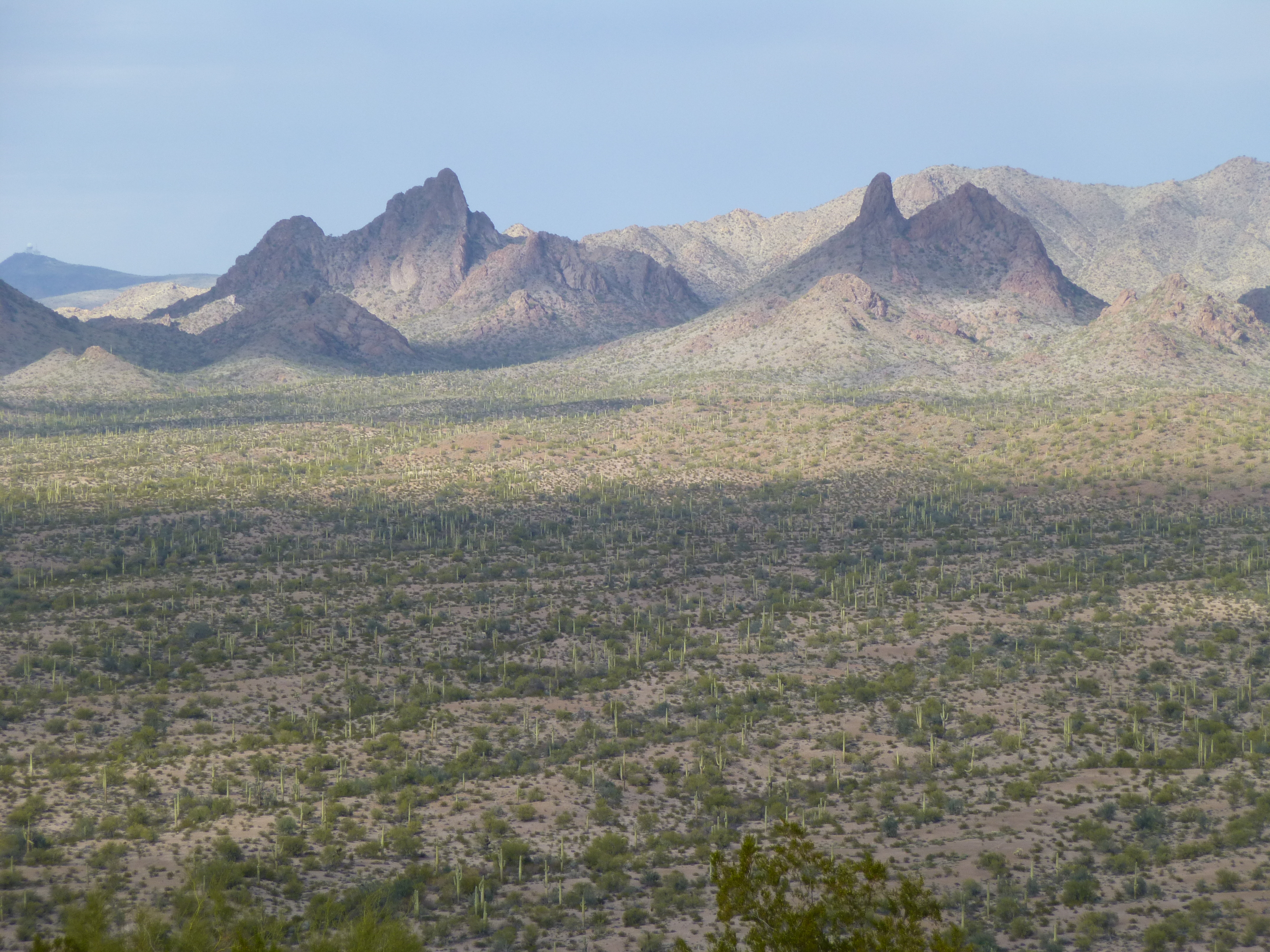
Looking southeast to Peak 4088 (left) and Montezuma Head (right)
Looking west to Peak 2870 in the Growler Mountains, a 1K prom first climbed in 2014
The stillness was almost overpowering. Below me, the desert was suffused with an ethereal golden light, so beautiful I almost felt I didn’t deserve to be there enjoying it. As I walked back to the road, something caught my eye beneath a bush – the desert is full of surprises. Who knew such things grew in such a harsh land?
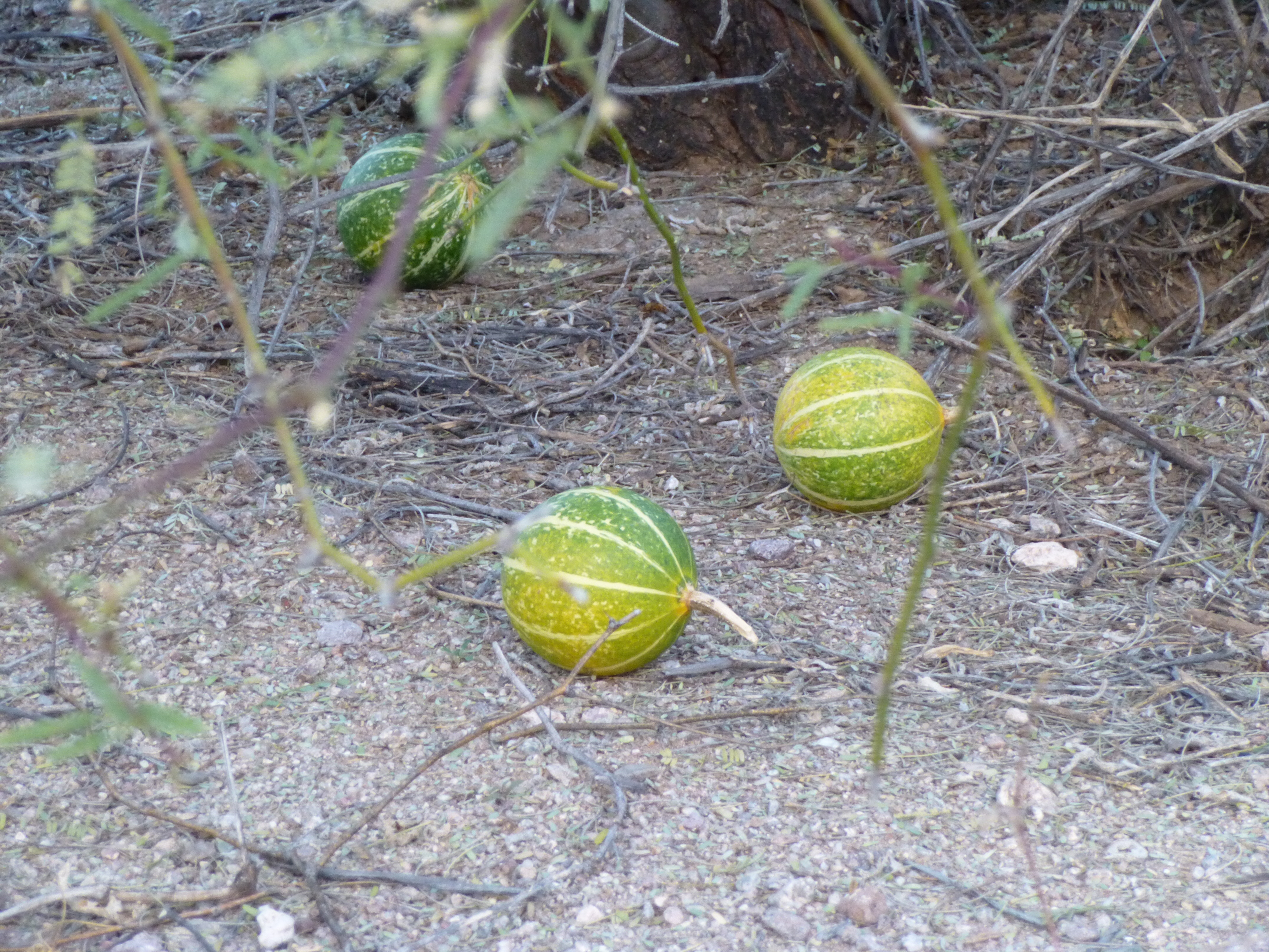
Gourds, each about 4″ across
Once back at the old road, I headed east. When I was about a mile from my truck, I passed the site of the now-empty village of Chico Shunie, no doubt the namesake of the quad I was in. Click on the name to read an informative piece about it.
By ten o’clock, I was back at my truck – not bad, still pretty early. I drove a few miles north and parked. The road dipped down into a nasty gully which I didn’t try to cross in the truck. It was just bad enough that I could see myself getting stuck in the bottom, unable to drive back out. Setting out on foot, I found myself in messy, convoluted country – a near-endless series of hills and washes I had to cross just to reach the mountain. En route, I dropped down into a deep gully with a sandy bottom. There, I found a whole lot of footprints, surely left by my friends from the night before. Continuing on, I reached the northeast ridge of Peak 2530, then climbed the last 500 feet to the summit.
The east side of Peak 2530
There, I found a well-used register, signed into by seven different parties before me. I phoned home while I signed in, then headed back down. I re-crossed the badlands and was back at my truck by 12:30 PM. The day was yet young, so I drove six miles to park on the east side of Peak 2292. On its summit, instead of a register I found a terracache. One climber, Andy Bates, had signed in, but made it clear that he had been there to climb the mountain and not to find the terracache.
The east side of Peak 2292
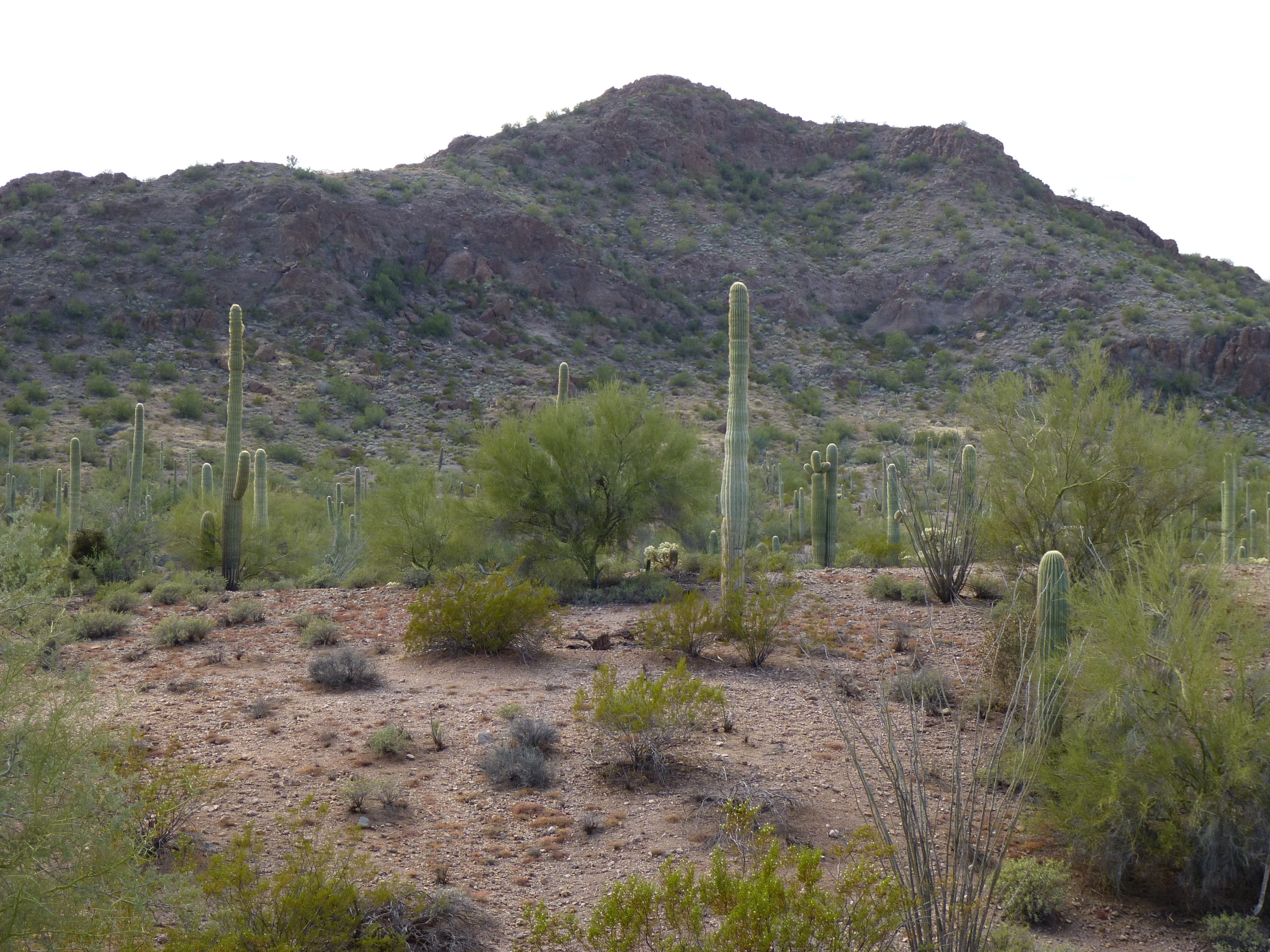
I had started the day with four to go to finish my quad, and three of them were done. I might as well go ahead and do the last one and be done with it. I went back down to the truck and drove four miles south, where I parked on the north side of Peak 2161.
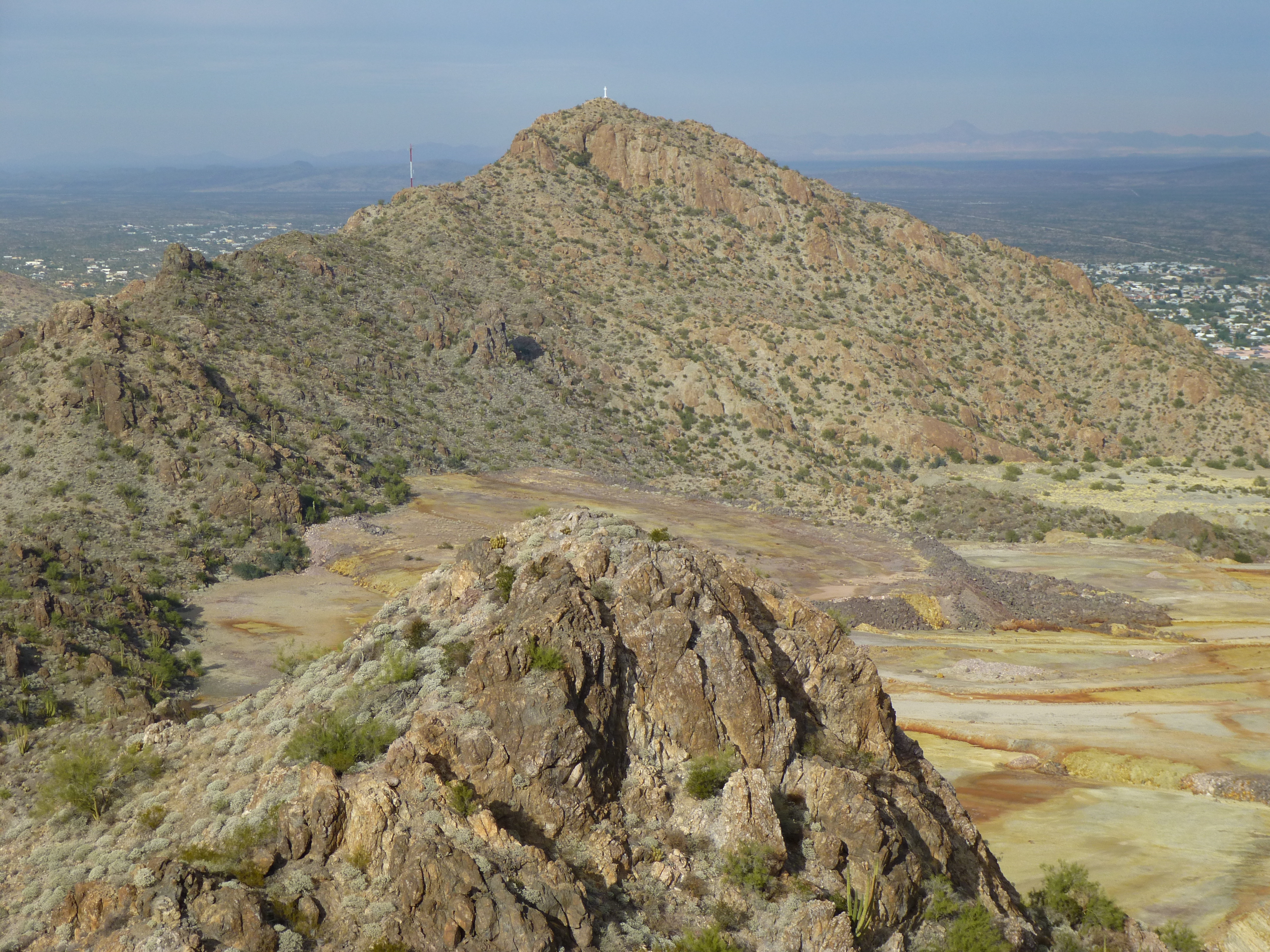
Some talus made for a quick, fun ascent and by 2:45 PM, I stood on top. This peak too had been visited by the usual suspects: Bob Martin, Richard Joseph, Gordon MacLeod, Barbara Lilley, Bob Packard, John Vitz and Andy Bates. Good company indeed! From the summit, I could see Ajo and North Ajo Peaks a mere four miles to the north.
Looking north to North Ajo Peak (left) and Ajo Peak (right)
So, the Chico Shunie quad was finished. Bob Martin had managed to finish 11 of the 13 before he passed away. I guess I got lucky. Peakbagging projects like this one, finishing an entire quad, can be really enjoyable. Hopefully, there’ll be many more to come.
Please visit our Facebook page at: https://www.facebook.com/pages/Desert-Mountaineer/192730747542690