
There is a beautiful chunk of desert in Arizona called Organ Pipe Cactus National Monument. Beautiful, but closed. Well, most of it was, since 2002 when tragically, one of their officers was murdered by Mexican drug smugglers. It then earned the nickname of “America’s Most Dangerous Park”. Those of us who loved the place kept hoping against hope that all of its back country would open up again some day. Guess what? – it has, as of September, 2014! There’s no question that its 30-mile border with Mexico still attracts a lot of smugglers who try to sneak in with their illicit cargo of drugs and people, but the Pipe did it right. It was brilliant, really – the risks aren’t going away anytime soon, so they said to just be really careful out there and you can enjoy all of it again. Okay, I decided that I’d go out into some of that back country, check it out and see if it was everything I’d remembered.
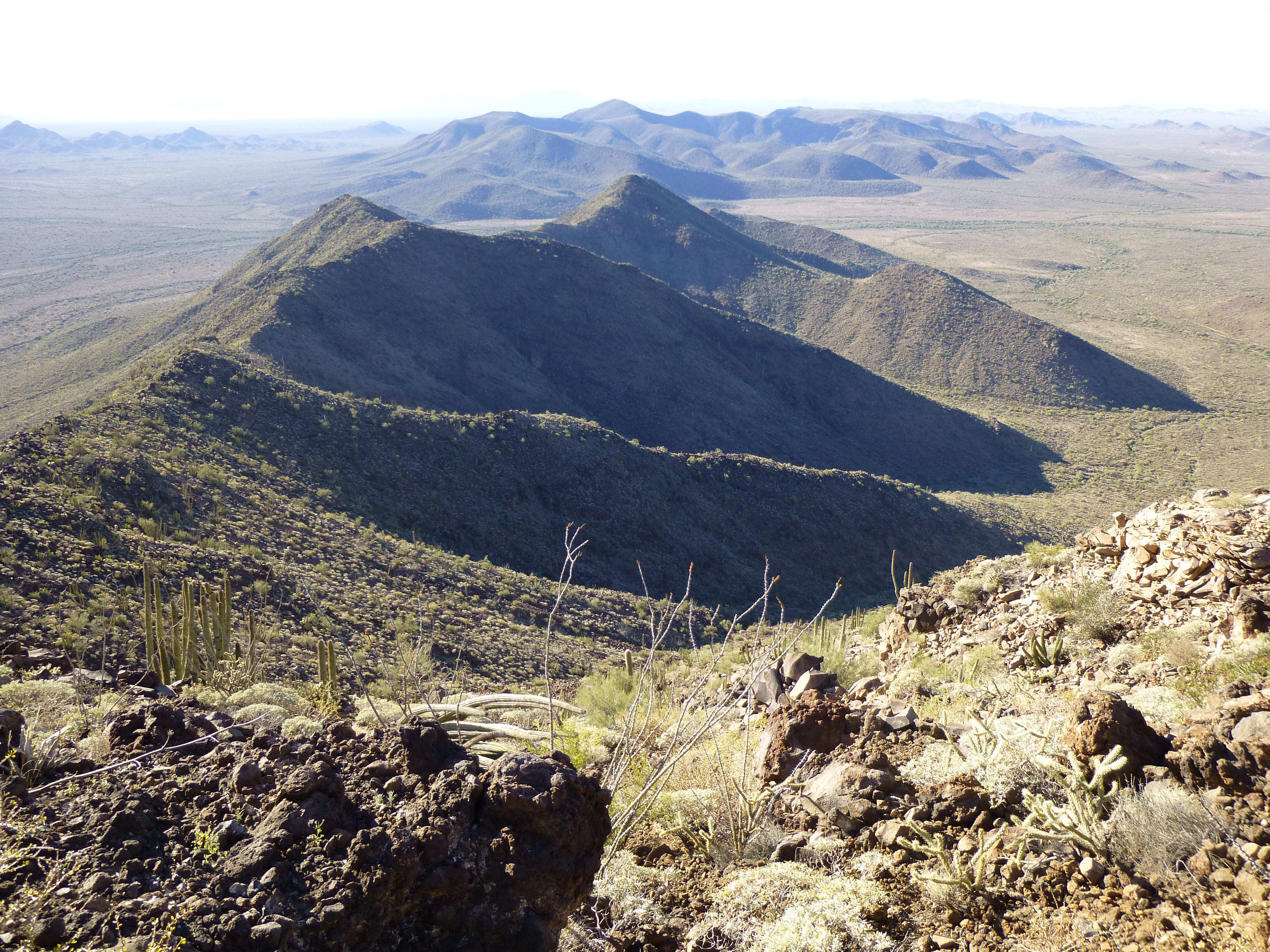
On a fine Friday in January, I spent four hours driving out to the area. As I left the Camino del Diablo, I had this view southeast to Kino Peak, a tough climb which has foiled many attempts. The only real route up it is on the north face, seen as the dark triangle at its left end. The peak is 6 miles away in this telephoto view.
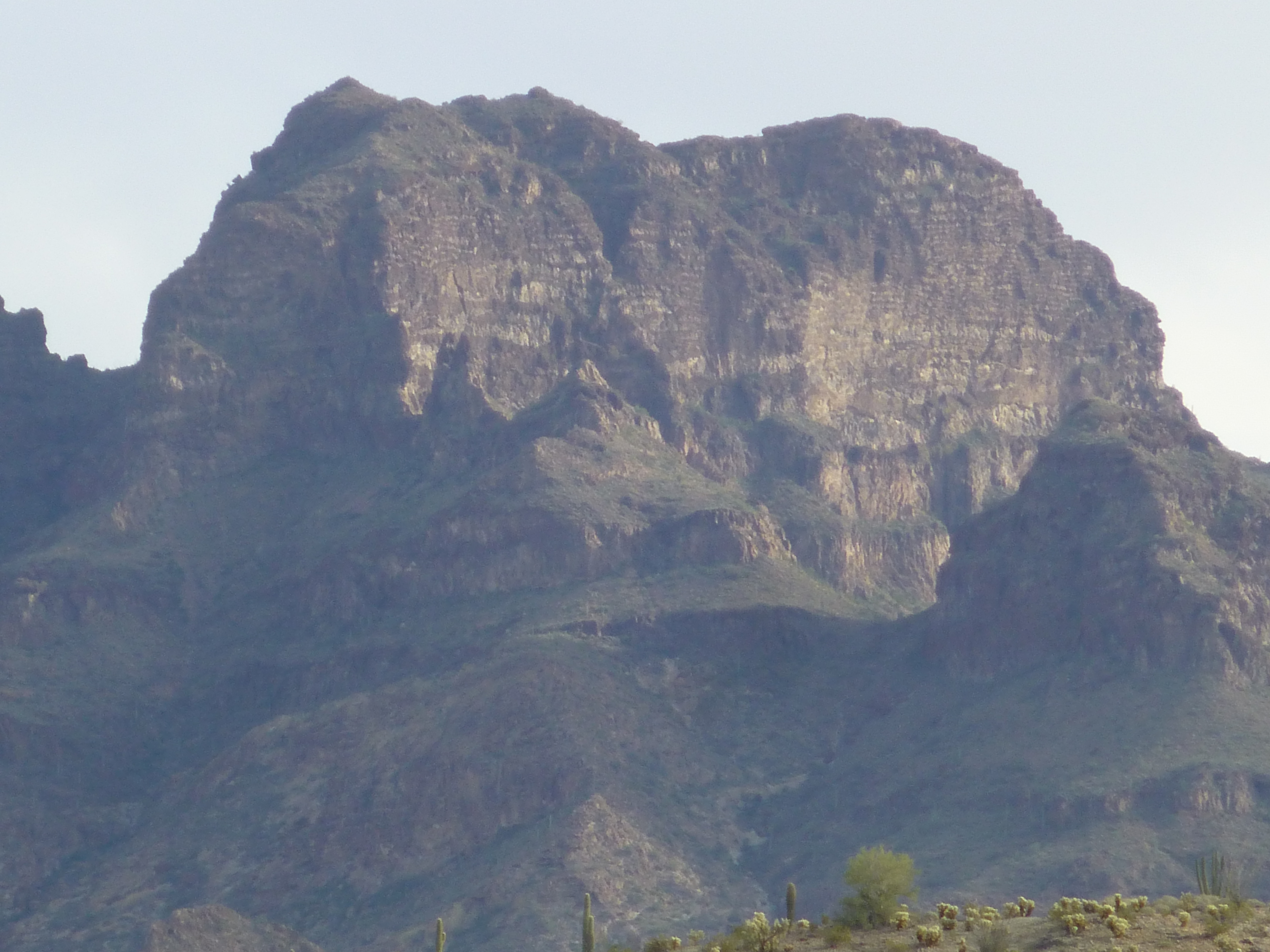
Looking southeast to Kino Peak
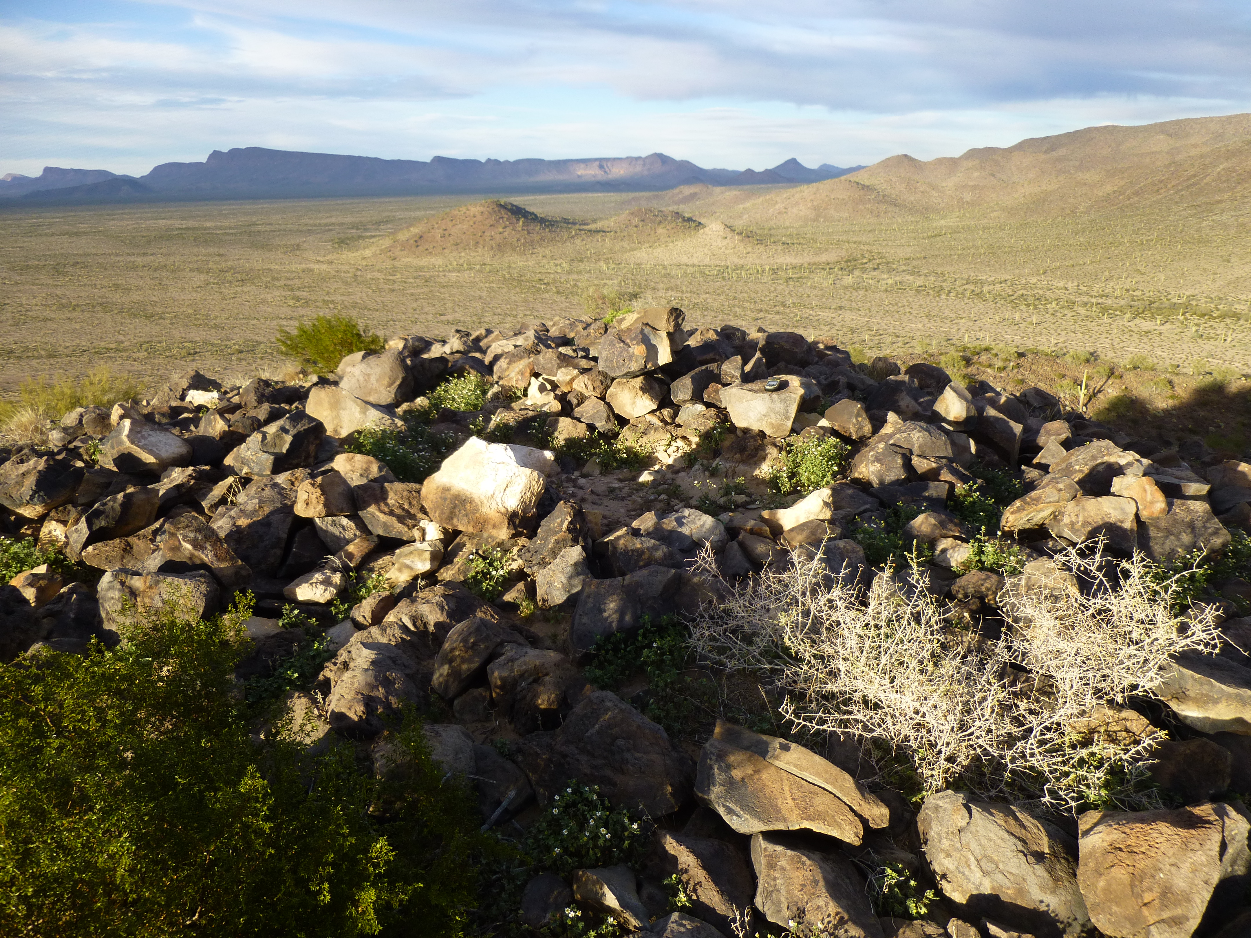
The road I wanted to drive was called the Pozo Nuevo Well Road, closed all these many years. I headed south for five miles, then parked just off the west shoulder – time to do a quick peak before dark. A hundred yards after leaving my truck, I was surprised to find two 50-caliber machine-gun shell casings – I could tell by the stamp that they had been made in 1943. Fired by a plane in WW II, I was puzzled why they were there, miles inside Organ Pipe. The park had been set aside in 1937, so it already existed as such when the U.S. joined the war. Curious.
It didn’t take long to make it to the top of Peak 1606, bathed in late afternoon sunlight.
Late afternoon sun on the top of Peak 1606
It was an easy return to the truck, and another mile’s drive south brought me to a sandy wash, a good spot to spend the night. There I was, cooking some ramen on the tailgate, when I heard the sound of an approaching vehicle. An aging Toyota much like my own pulled into view and I flagged it down. Dave from Petaluma, a fellow desert-lover, introduced himself and we chatted for a while. He left just as darkness fell, heading north to look for a better place to camp. Around 8:30, I heard a commotion in the darkness – it was two Border Patrol vehicles, so I shone my headlamp at them and they stopped. The agents were surprised to see me, and asked to see my permit. When I told them you no longer needed a permit, that anyone could be there, they were skeptical. In any case, they were two nice young guys. They told me to be careful, suggested I carry a gun and said not to talk to anyone. Turns out they had three border-crossers in the back of one of their SUVs, so they had to take off and process them.
Five more times that night, vehicles drove by in the dark. One of them, around midnight, stopped to check me out – it was another Border Patrol officer, who also warned me to give a wide berth to anyone I saw out there. “A dangerous area, filled with very bad people.”
When my alarm went off, it was still dark. By the time I’d secured the truck, eaten something and readied my pack, it was 7:00 AM. I started east across the flat desert. Half an hour later, I looked back over my shoulder to see this sunrise view.
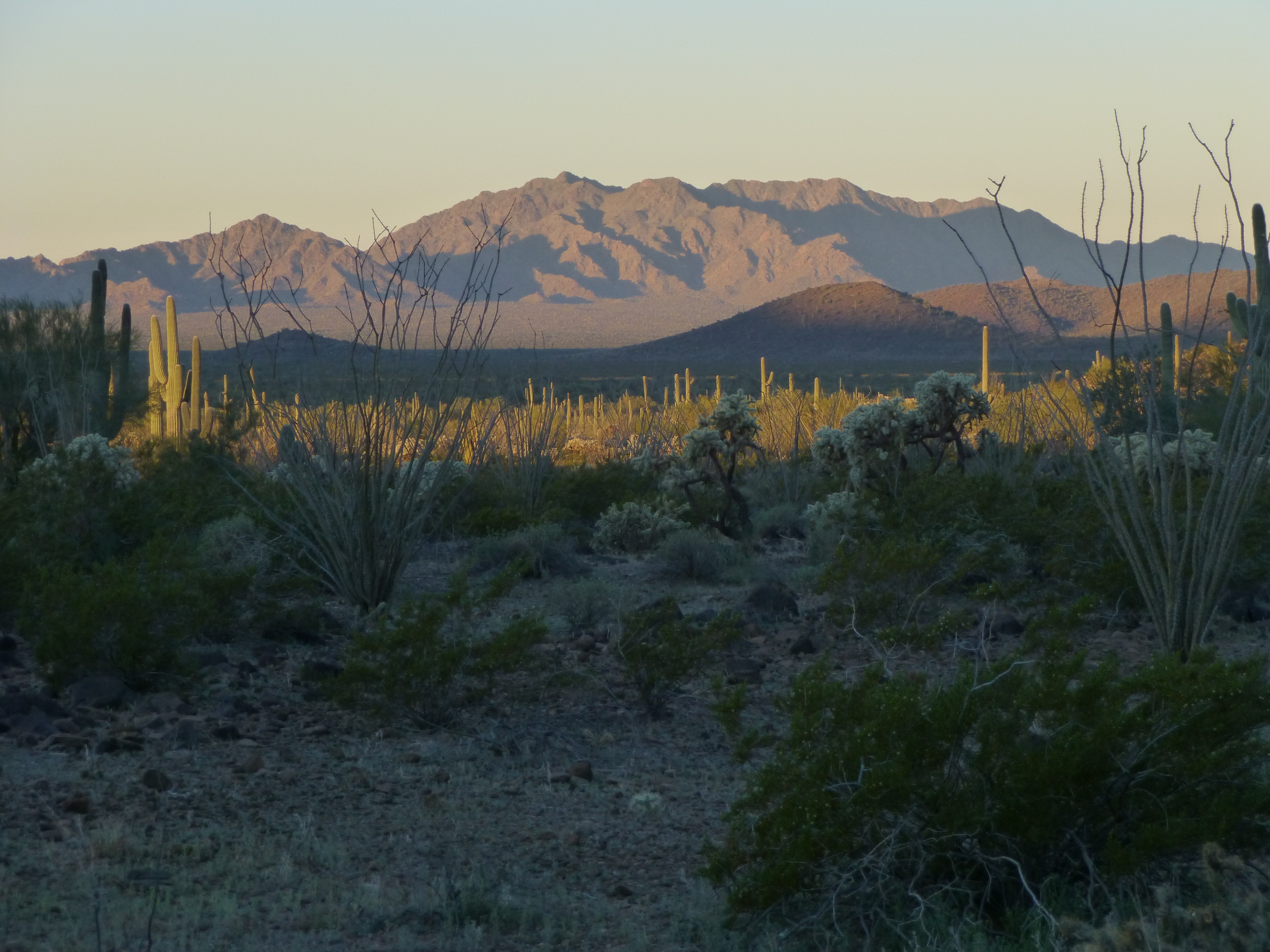
A long telephoto shot of the high country of the Agua Dulce Mountains
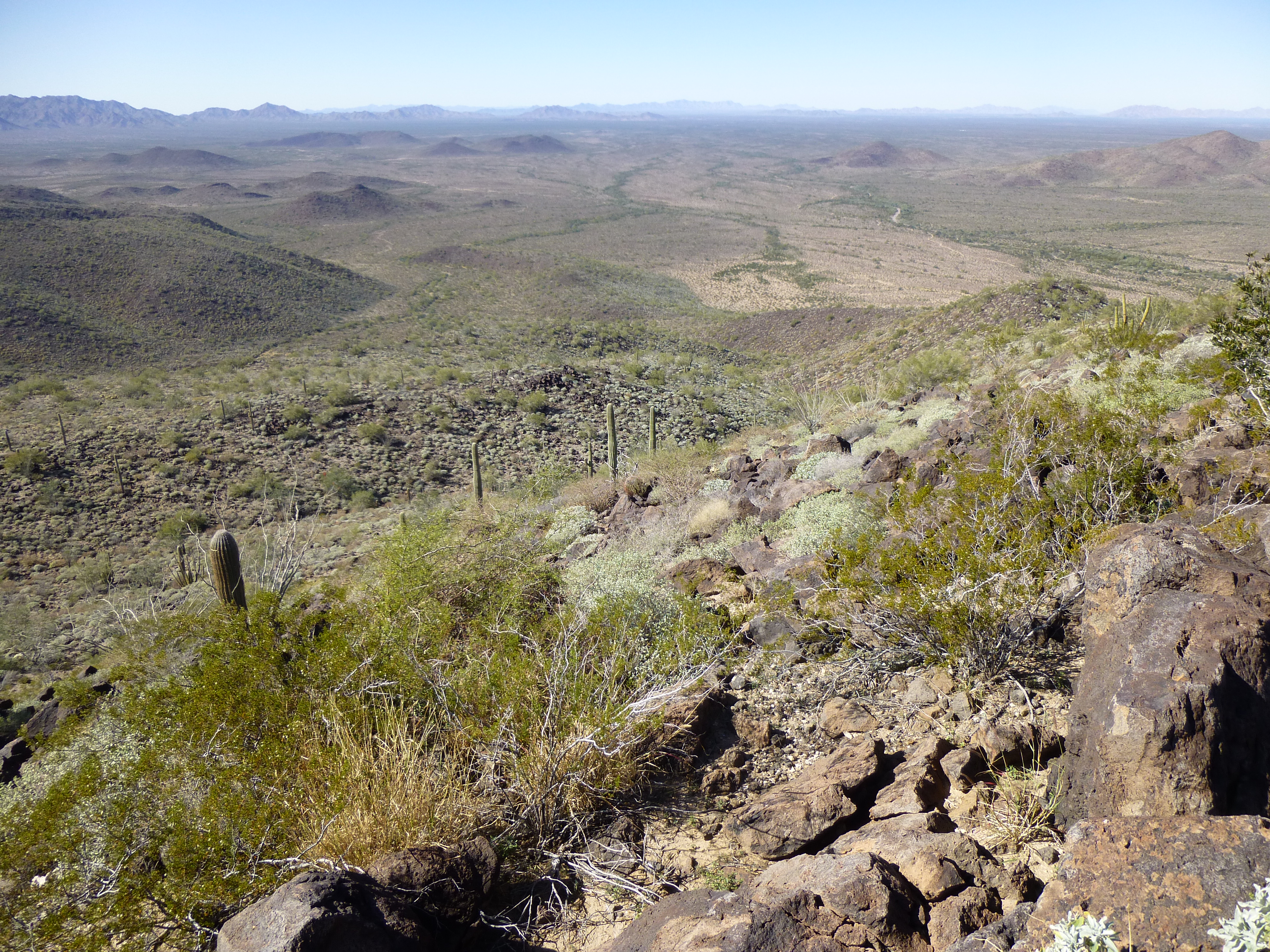
It was so incredibly quiet, just the crunch of my boots on the desert floor to accompany me. After passing the southern end of four different ridges. I swung north into an un-named valley, where I had my first good look at the mountain I wanted to climb.
Looking northeast to Peak 2848
I went up a side canyon, crossed a few gullies and started up the peak. The surface was incredibly loose, like climbing on a bunch of marbles – I kept slipping, becoming increasingly upset with my carelessness and making the air blue with oaths. By the time I stood on the summit, it was 9:30 AM – it had taken me 3 1/2 hours to cover the four miles and climb the 1,600 vertical feet to the summit, too long for my liking.
The rocky summit had a cairn, but the register it once contained had been smashed by someone, and I didn’t bother to leave another. I had a striking view to the south, along the ridge descending from Peak 2848. Beyond the ridge was a gap, and the Cipriano Hills lay beyond that.
Looking along the complicated south ridge of Peak 2848
Since I still had a long way to go, I thought it best to carry on. As I started down the big canyon to the southeast of the summit, a powerful gust of wind hit me and knocked me on my ass. That was what it took to smarten me up – I realized I had to be extra-vigilant and watch every step. Most climbing accidents happen on the descent, and this was no place to have an accident. I had dropped the better part of a thousand vertical feet when, out of the corner of my eye, I saw this amazing peak.
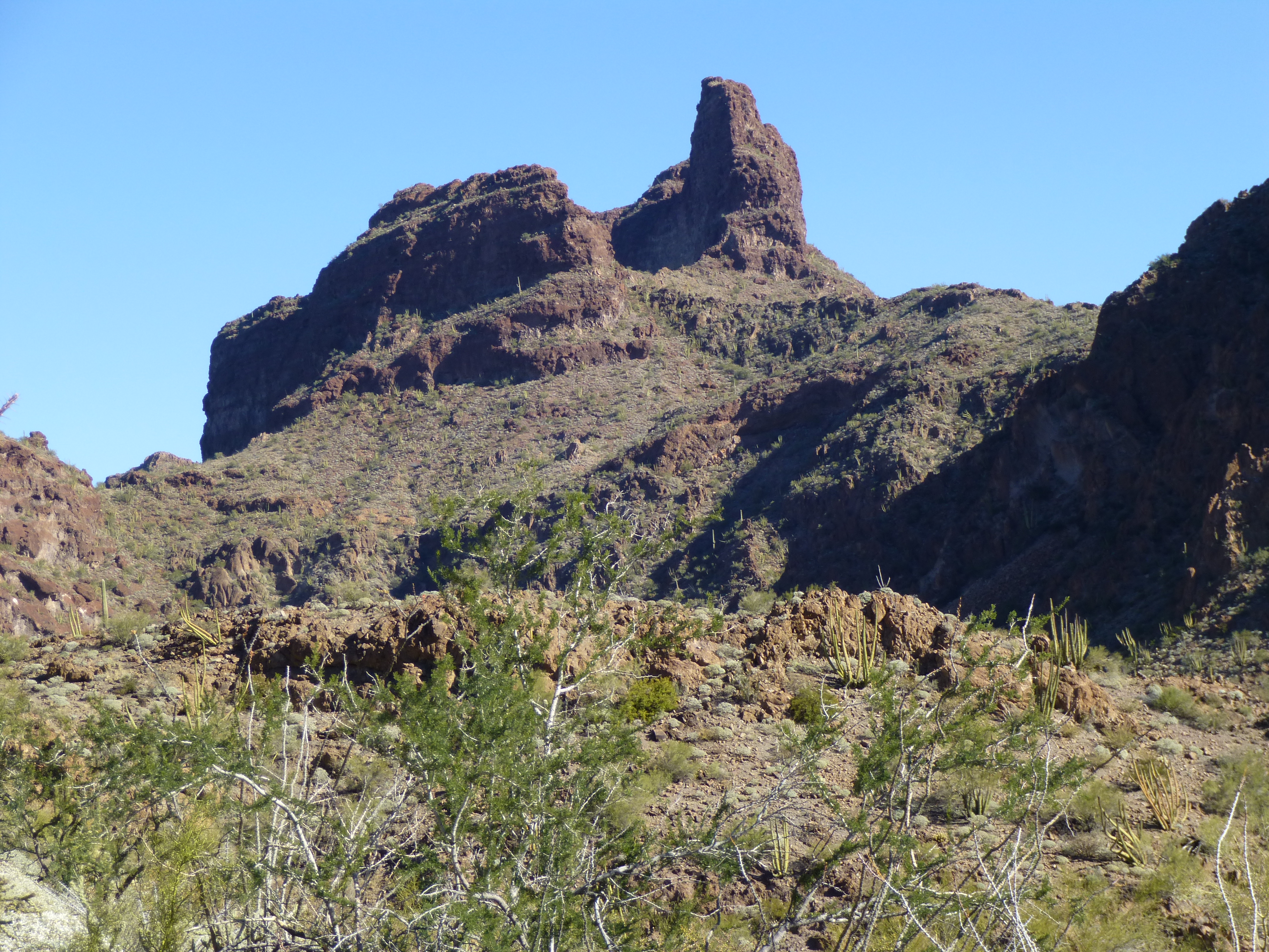
Looking NNE to Kino Peak
What a beauty! It took me a moment to realize that I was looking at Kino Peak, at what was in fact the summit ridge end-on. Holy crap, I had never before seen it from this angle. Back in 1987, I had climbed it in a very long day from the north. It had seen its first ascent way back in 1952 by my friend Barbara Lilley and a group of friends from San Diego.
All around me were spectacular peaks, like this one, Peak 2919.
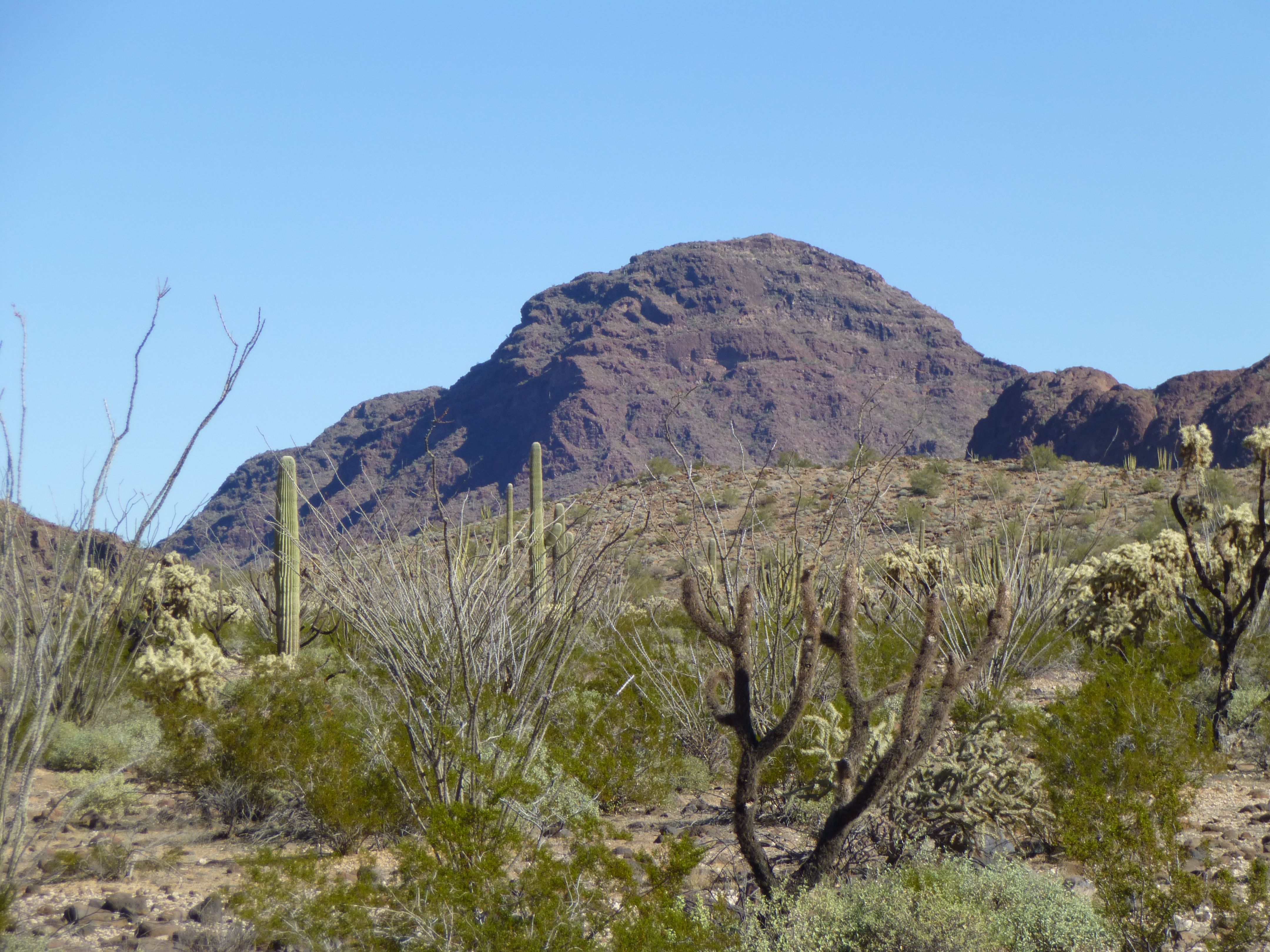
Peak 2919
And even better, this one. Here is a great view looking east to Peak 3019. Five years ago I climbed this one with my friend Paul. See the long summit ridge? The highest point is at the right end. Paul and I had climbed up to the deep saddle on the left side, then up to and along the summit ridge to reach the high point. We decided that we didn’t want to go back the way we’d come up, so we made a bold decision. From the summit, we descended down towards the camera, along the ridge that is in sunlight on the right side and shadow on the left side. What an ordeal that turned out to be! Our route dropped a thousand vertical feet in a thousand horizontal, for an average slope of 45 degrees. It was loose and steep, with several Class 3 cliff bands to downclimb. It took a long time, and every time we thought we had it beat, it threw another curve at us. Seeing it again, especially from this angle, brought back strong memories.
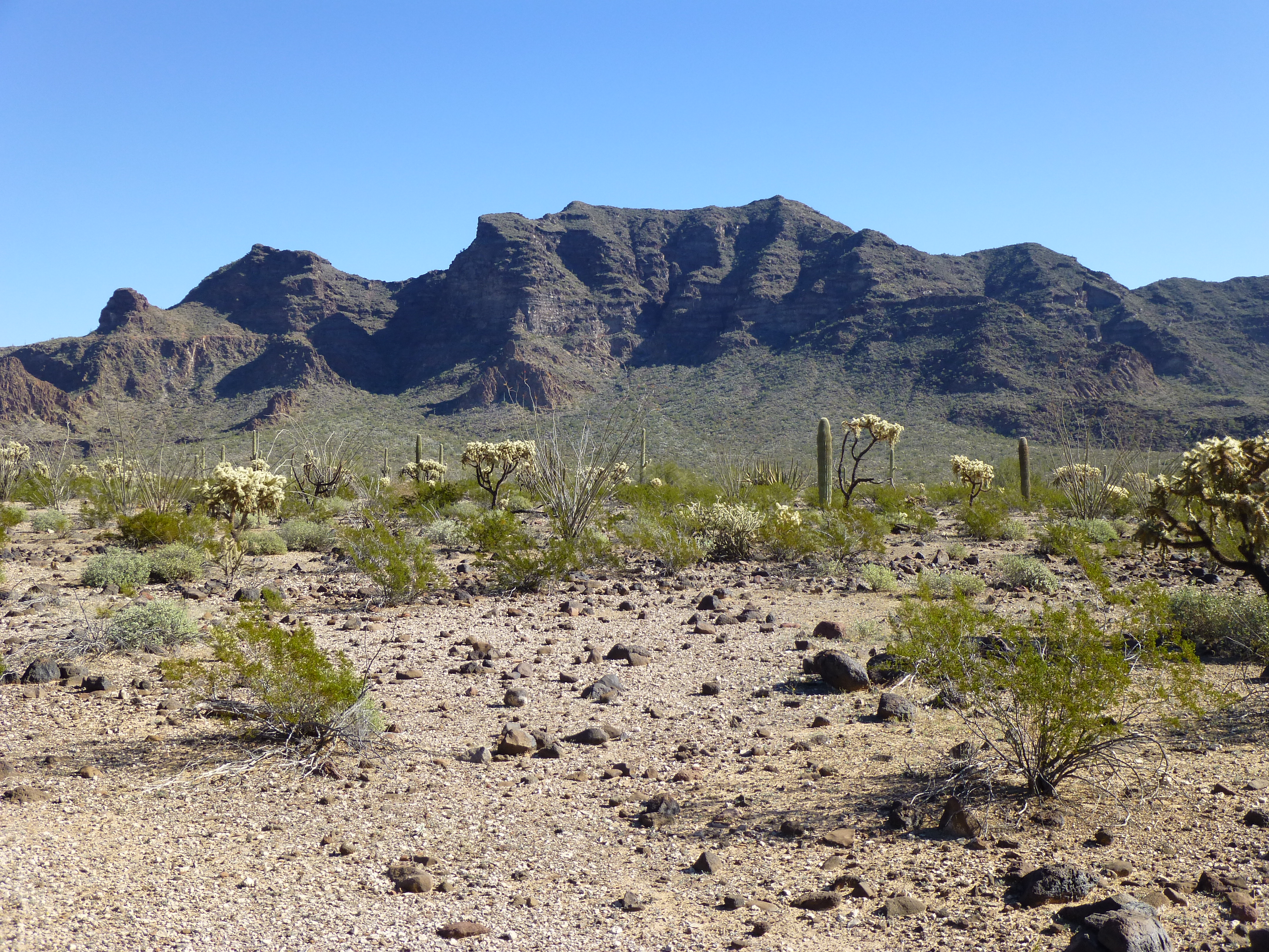
The west side of Peak 3019
The miles passed. Eventually, I neared a major wash and walked through an area where thick weeds grew, so much so that I couldn’t actually see the ground. I’d been walking for some time on level ground and not paying close enough attention, gawking at the scenery, when I stepped into a hole and down I went. It’s amazing how quickly the ground can rush up to meet your face. After I picked myself up and realized that there was no harm done other than to my ego, I continued along, picking cactus spines out of my hands.
I had now entered an area known as the Cipriano Hills. The day felt warm as I rounded the base of a ridge and started up a valley. A climb of 900 feet led directly to my next objective, Peak 2315. I was slowing down – it was all of 1:00 PM by the time I walked on to the summit. There, I found a register left 17 years earlier by Bob Martin and Bob Packard – nobody had been there since. I signed in and started down. It was a simple drop of a thousand feet to the desert floor, then a walk across flat ground back to the truck.
Looking towards my truck from the top of Peak 2315 . It’s way out there somewhere.
By the time I reached it, eight hours had passed and I’d put 12 miles on the old boots. My dogs were barkin’, and I was glad to be done, for today at least.
I fired up the truck and continued south, and, in just over five miles, reached the old Pozo Nuevo Well, the namesake of the road I was driving. History tells us that: it was the oldest hand-dug well in Organ Pipe, dating from 1910. It is located at one of the fifteen ranches and line camps in the Gray family cattle business which dominated the lands of Organ Pipe National Monument for nearly 60 years. The Grays, Robert Louis, Sr., and sons Robert, Jr., Henry, and Jack, began the trend of buying up water rights, ranches and line camps in 1919. They utilized the open range via a trigger gate to lure their cattle to water in their corrals at round-up time and made do with the materials they had at hand since supplies were hard to come by.
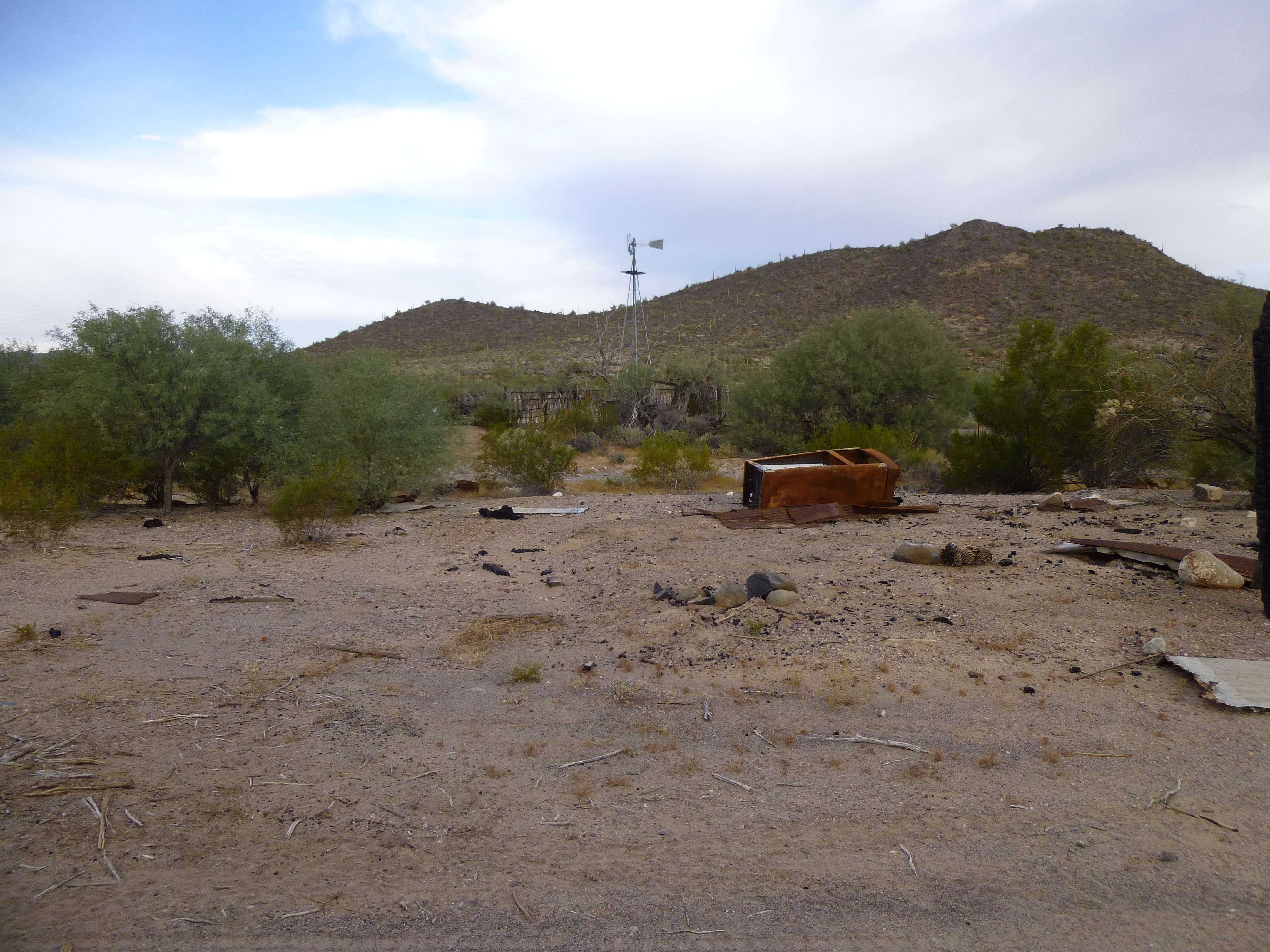
There’s not much left of the old line camp and well these days.
A Border Patrol vehicle was parked near the well, and I struck up a conversation with the young agent sitting in it. He was pretty surprised to hear that I was out there climbing alone. He too cautioned me to be careful and not talk to any strangers. He said they’d actually arrested drug smugglers who were carrying AK-47s. A sobering thought, to be sure. We wished each other well and I drove off.
Less than three miles later, I arrived at Cipriano Pass and shut off the engine. During the hour of daylight that remained, only one vehicle came by, a red Jeep driven by a preacher from the town of Ajo. His teenage daughter was with him, and they were just out seeing the sights. After chatting for a bit, they continued on. I enjoyed a quiet night and no one else came by.
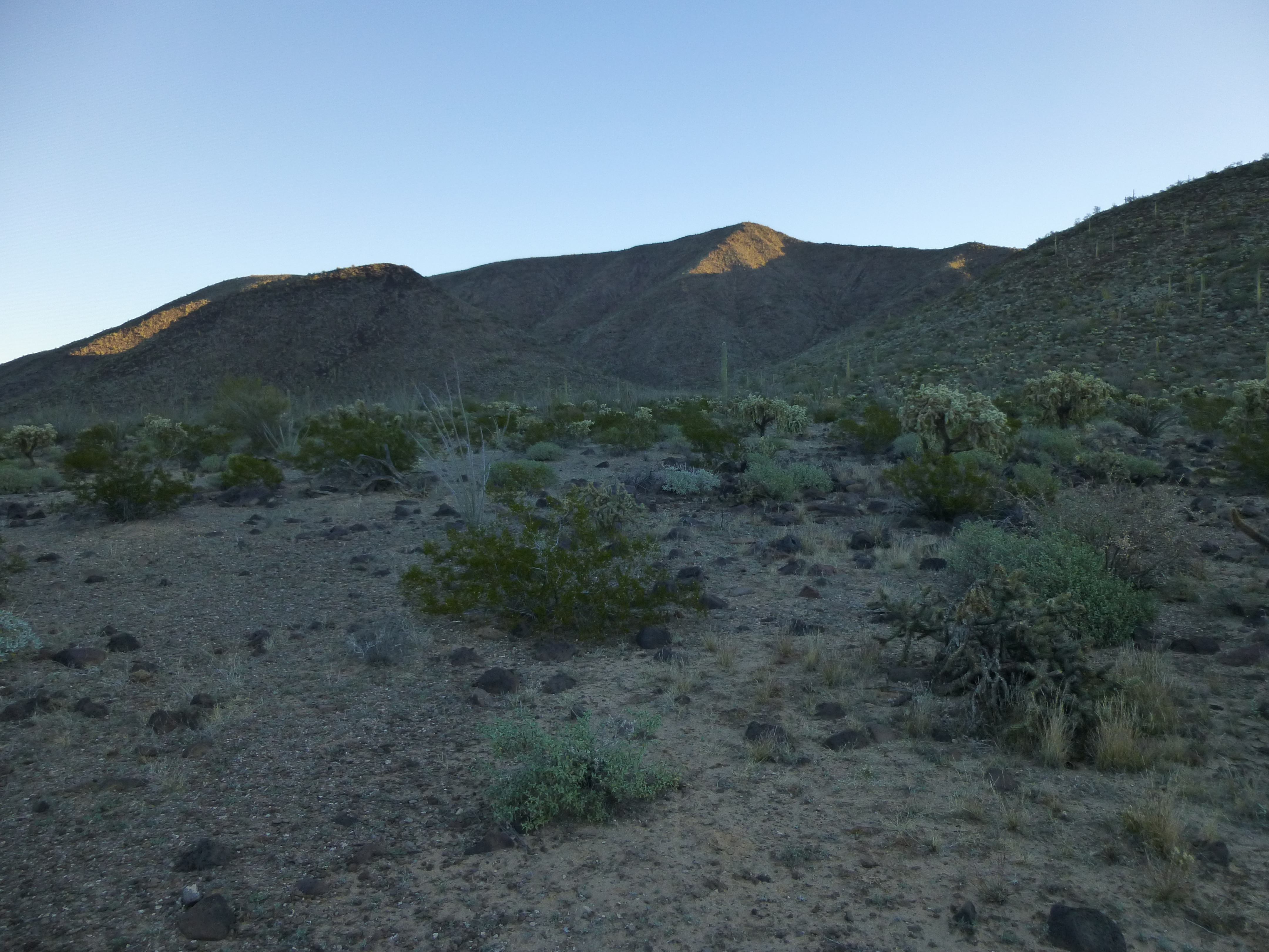
The next morning dawned cloudy and cool. I had parked in an ideal spot for the first peak, so it was an easy walk to the top of Peak 1756.
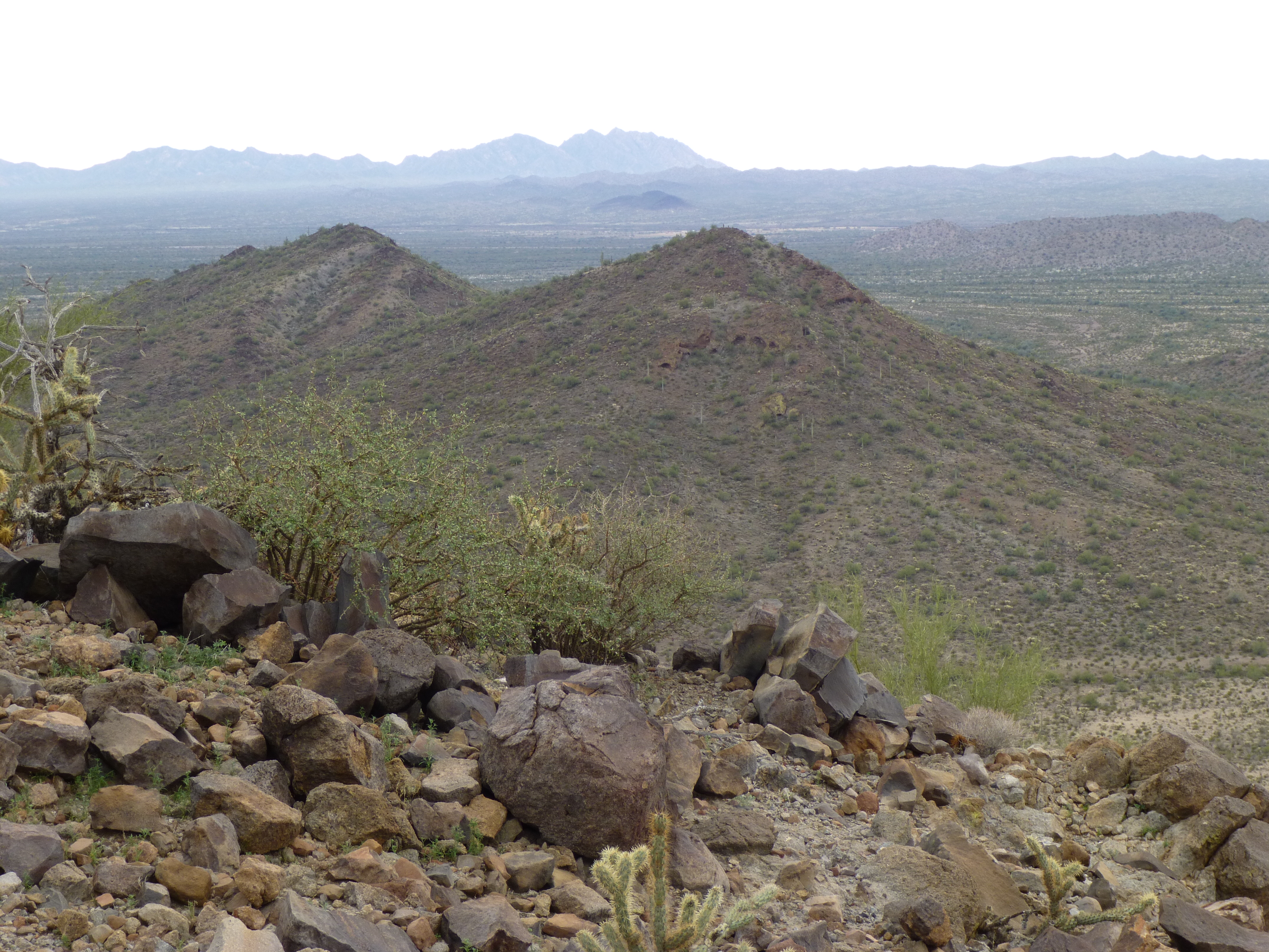
Peak 1756 as seen from the north
There was so much smuggling activity in this area that the register had been destroyed – I didn’t leave another because it would surely meet the same fate. Mexico was only three miles away, so many others would visit this mountaintop. I went back to the truck, moved it a mile north and set out to climb one more. It was close, so didn’t take long, and I soon stood on top of Peak 1870. An interesting thing about this one was a ten-foot-deep cave at the summit, where a number of empty water jugs showed that smugglers had spent time there.
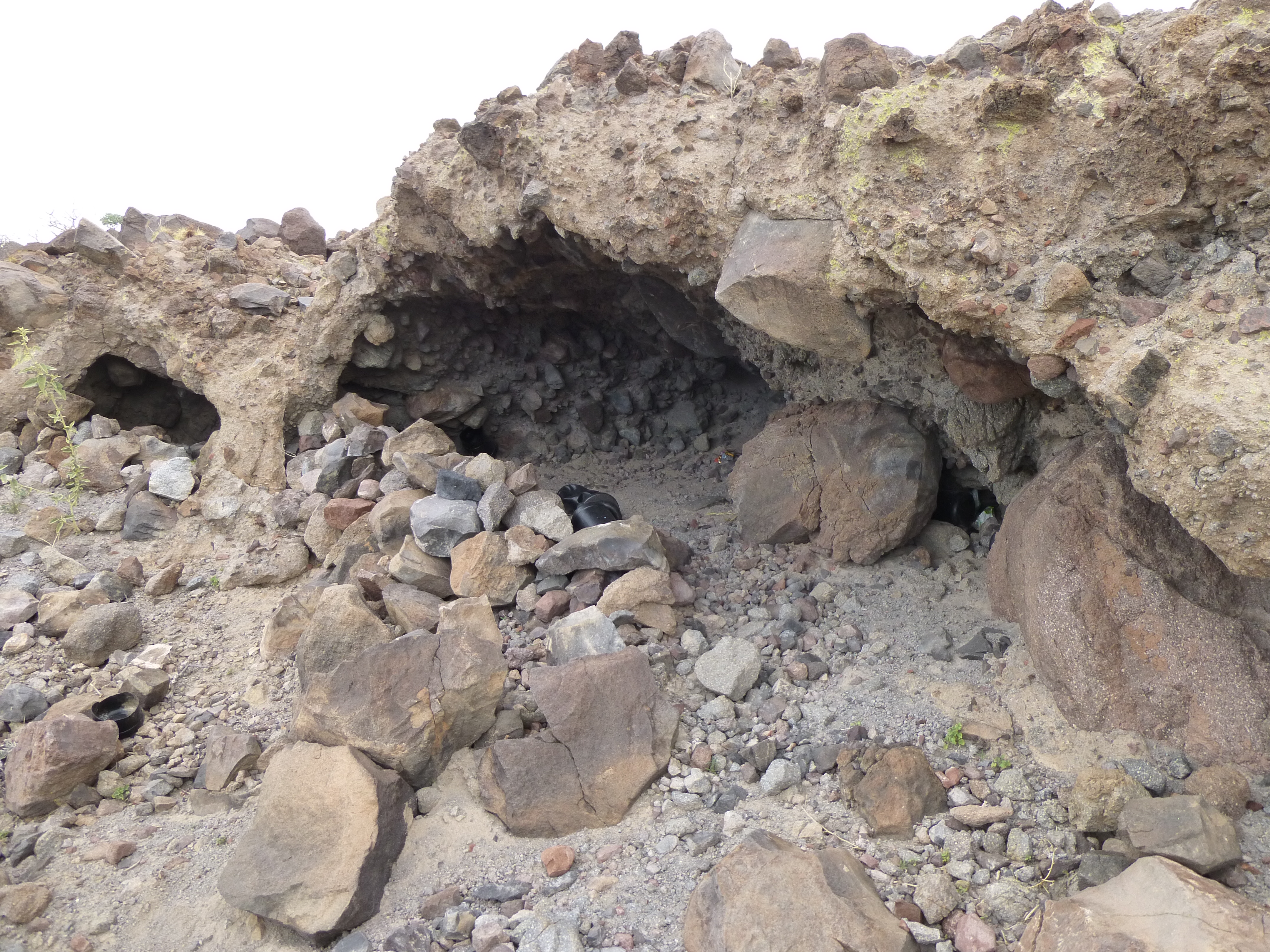
Smuggler’s cave on top of Peak 1870
My climbing was done, so once back down at the truck I started the trip home. That meant continuing south three miles on the Pozo Nuevo Well Road to merge with the Puerto Blanco Drive, the main road in the west half of the park. Once on that, it was a dusty but quick 17 miles east to finally hit pavement at Arizona Highway 85, a mile north of the Mexican border. The few hours to get home to Tucson were uneventful.
Thus ended a great visit to Organ Pipe. Now that all of the park is open, there will be many more. By the way, when I made this trip, I wasn’t aware that there were restrictions on where you could camp. Please check with the park authorities to make sure you do so in the right places.
Please visit our Facebook page at: https://www.facebook.com/pages/Desert-Mountaineer/192730747542690