
This is a continuation of the story called “Sikort Chuapo”.
A week later, Mike and I returned to the Sikort Chuapo. We went in the same way as before, driving northwest from the village of Hickiwan, but this time stopped a mile short of our last starting point.
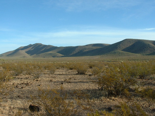
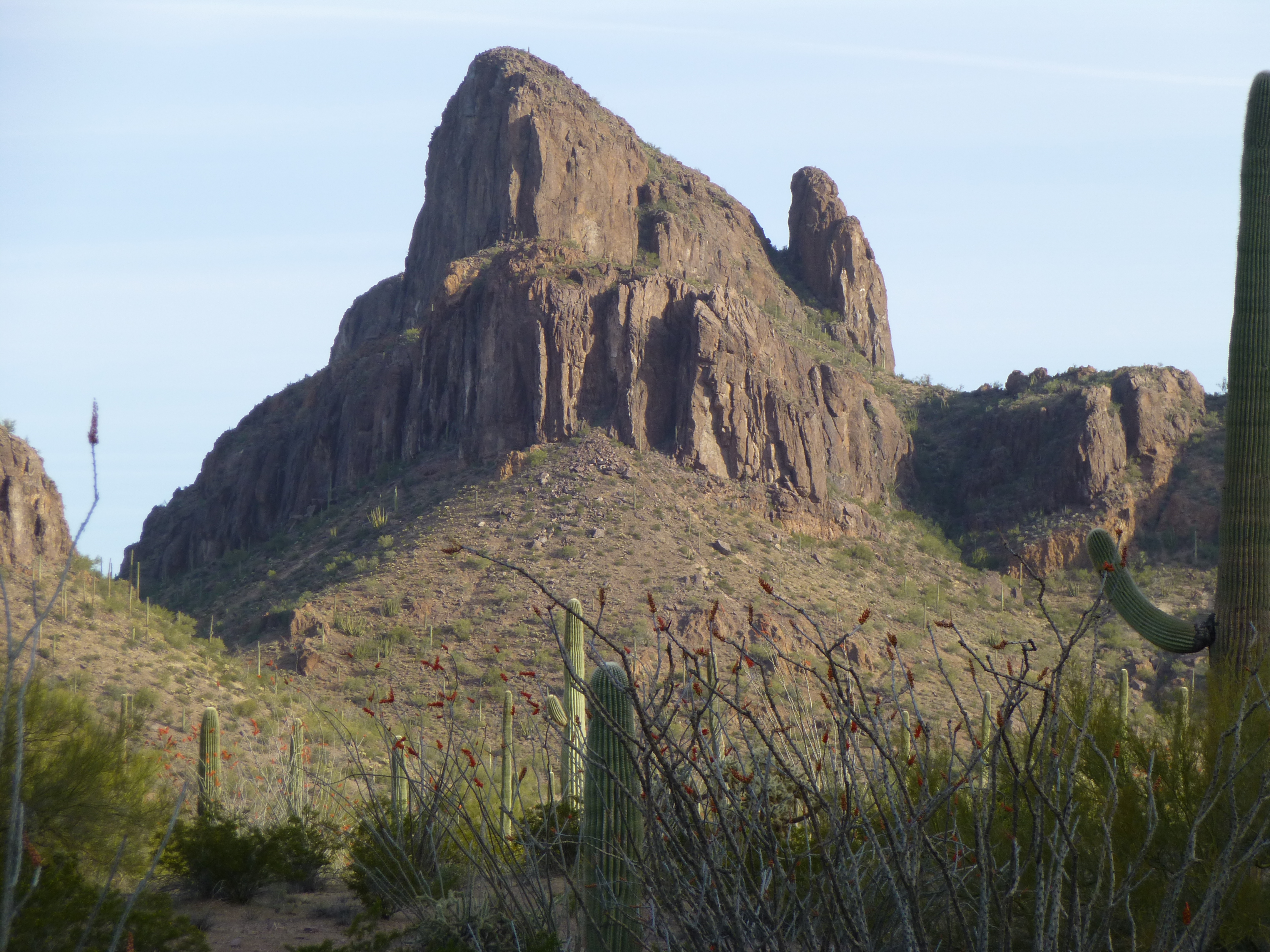
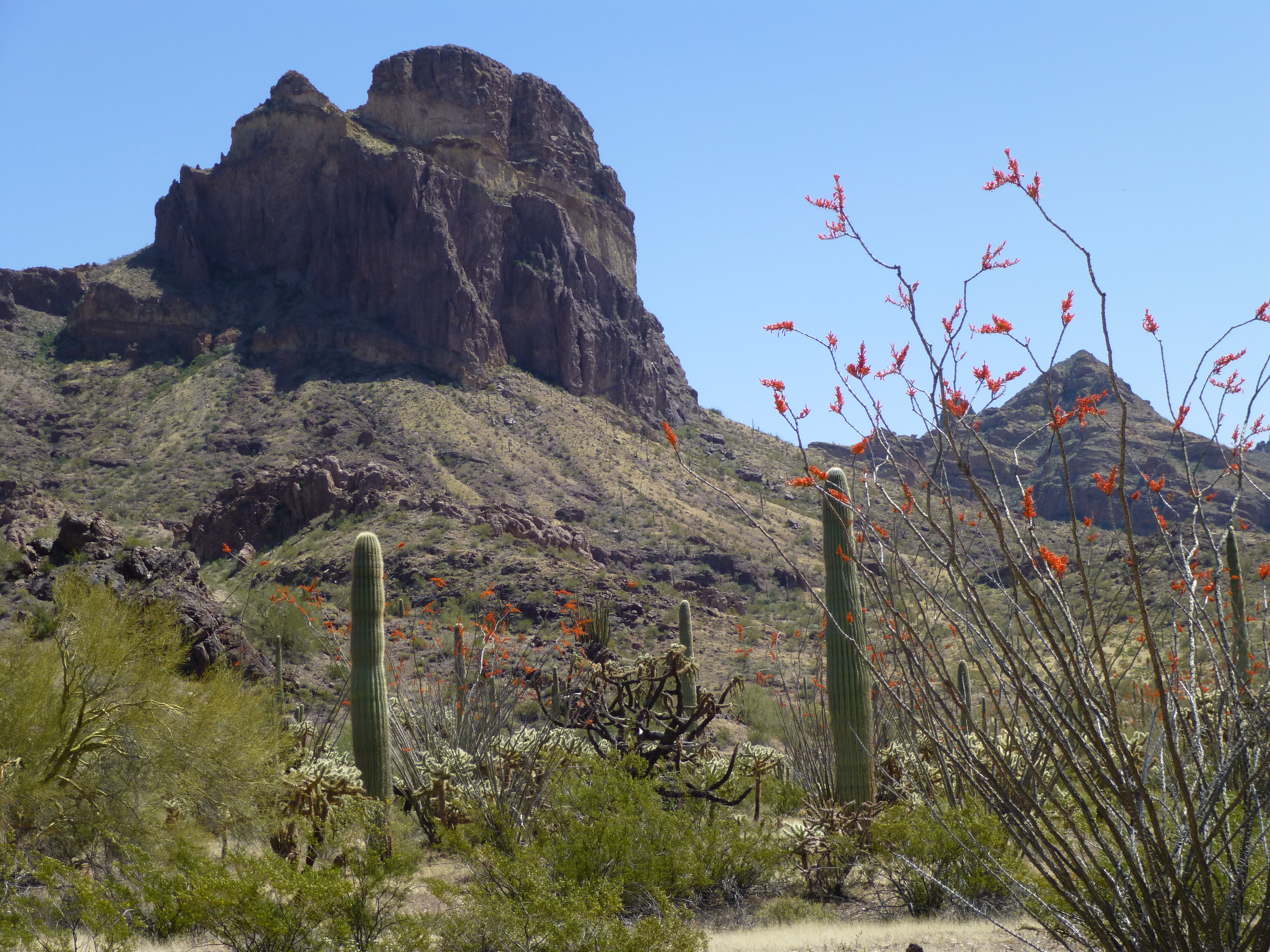
Looking north to the Sauceda Mountains
We parked hard by an old corral and set out at a quarter of eight in the AM. Heading more or less south, we went a short way up a wash, then soon left it and headed cross-country up gently-sloping desert. Crossing over a saddle near Point 2881, we contoured south across the mountainside into another drainage, then climbed steadily uphill to reach the summit of Peak 3302. It was pristine. At 9:15, we were leaving a register.
Back down we went, crossed a wash, then climbed southwest up to the top of our next one, Peak 3114.
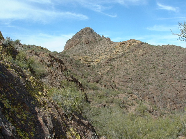
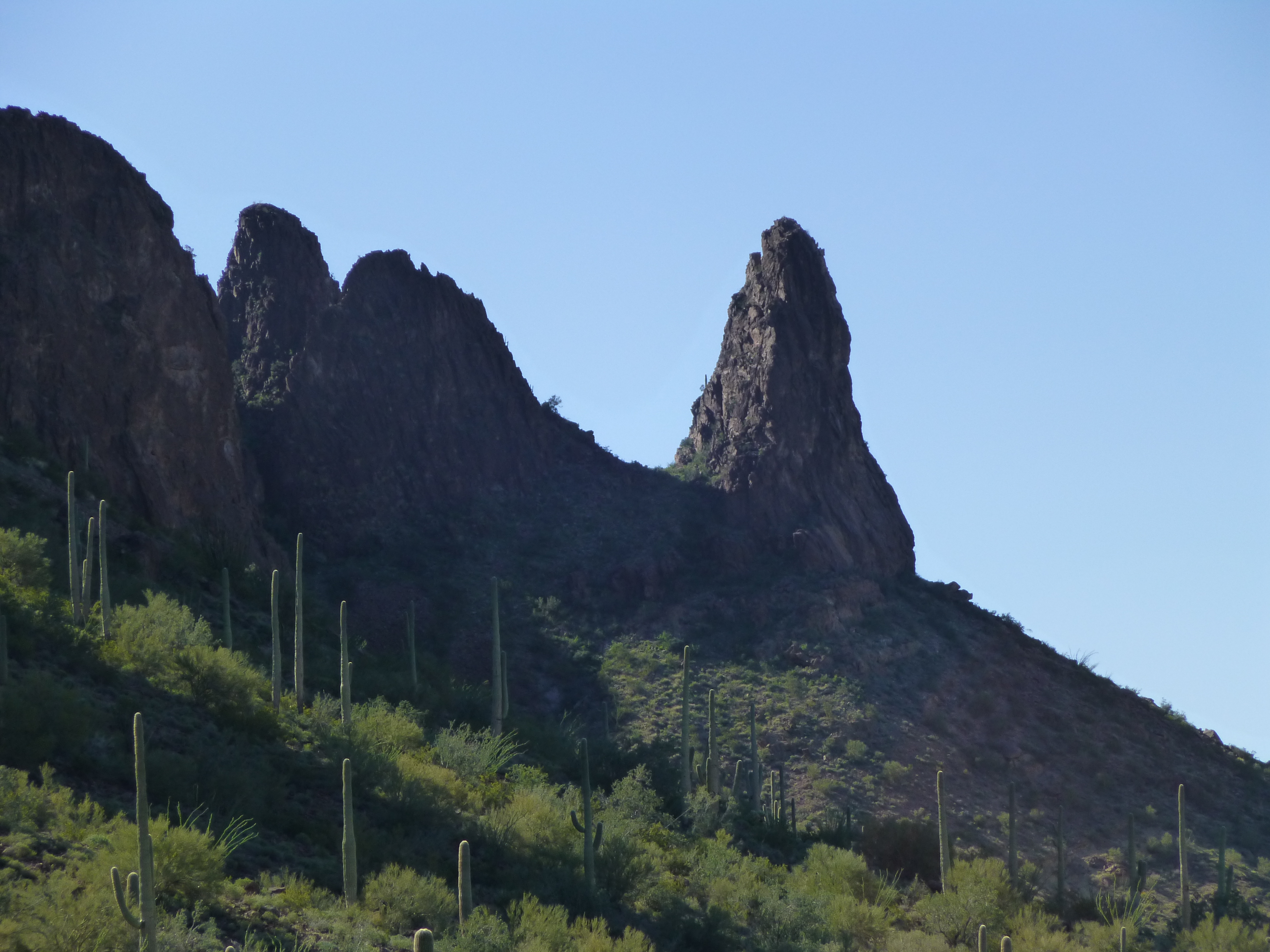
Peak 3114
It too showed no sign of ever having been trodden. We arrived there at 10:20 and, as usual, left a register. The day was warming up, a bit too much actually for our liking. Next came the most challenging part of our day. Heading generally northwest, we followed a long series of ridges, crossing over several bumps along the way. It was a lot of hot work, and by the time we arrived on our third summit, Peak 3257, it was 12:40 PM.
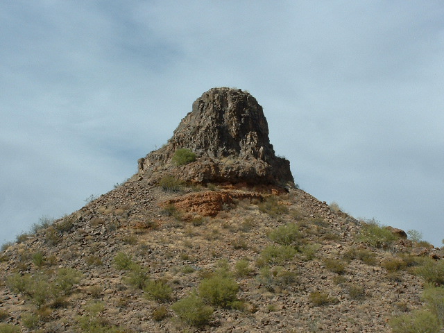
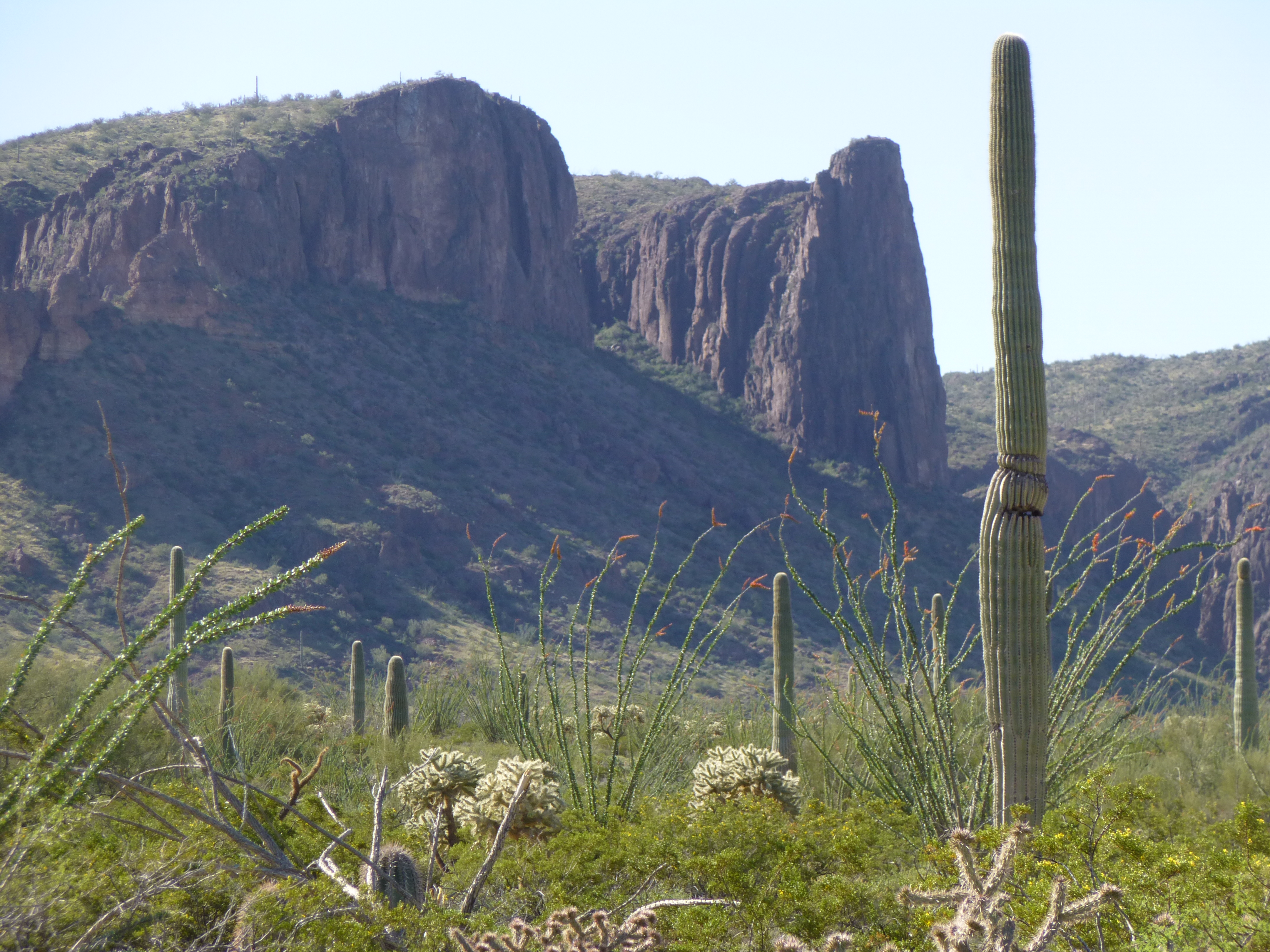
Peak 3257
Once again, no sign of any previous visit. We enjoyed lunch while building a cairn and leaving a register. This part of the range is very beautiful, and seems unvisited. It was a real privilege to be there.
We lingered a while, but eventually had to leave. Dropping off the summit to the east and losing 600 vertical feet, we found ourselves in a long, sinuous wash which eventually took us all the way back to the truck. The entire loop of three peaks had taken just under seven hours, covered 9.3 miles and climbed 2,470 feet.
Two months later I was back. Making a quick pass through the area, I had time for one quick climb – the southernmost of the range, Peak 3010. From the highway to the east, it took but an hour to make the round trip. Surprisingly, there was no sign of any previous visit, so I left my usual calling card.
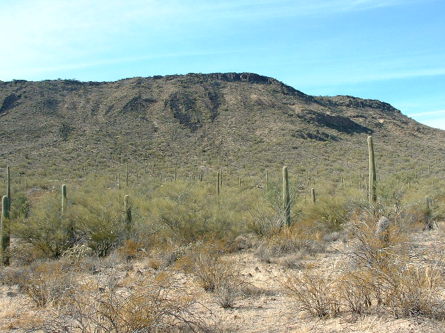
Looking west to Peak 3010
Although at this point I wasn’t counting, I had now climbed eight peaks in the range. The first one was because it was the range highpoint; the next seven were because they were on the Tohono O’odham Indian Reservation. So what about the other four? Well, once my attention turned to climbing all of the peaks in Pima County, they came into play.
Another eight years passed. The northernmost of the Sikort Chuapo peaks had caught my attention every time I drove east on the El Paso Natural Gas pipeline road from the town of Ajo.
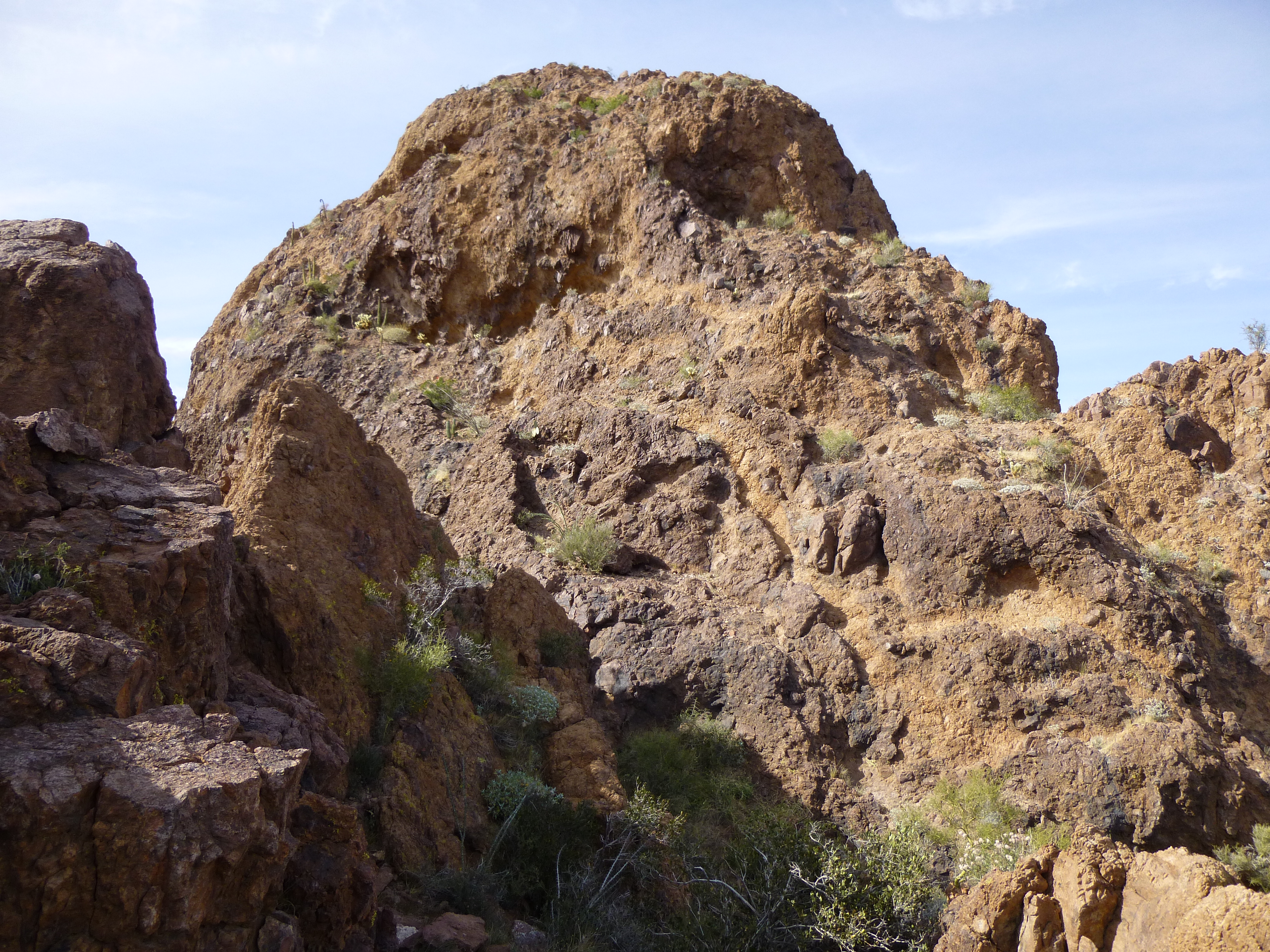
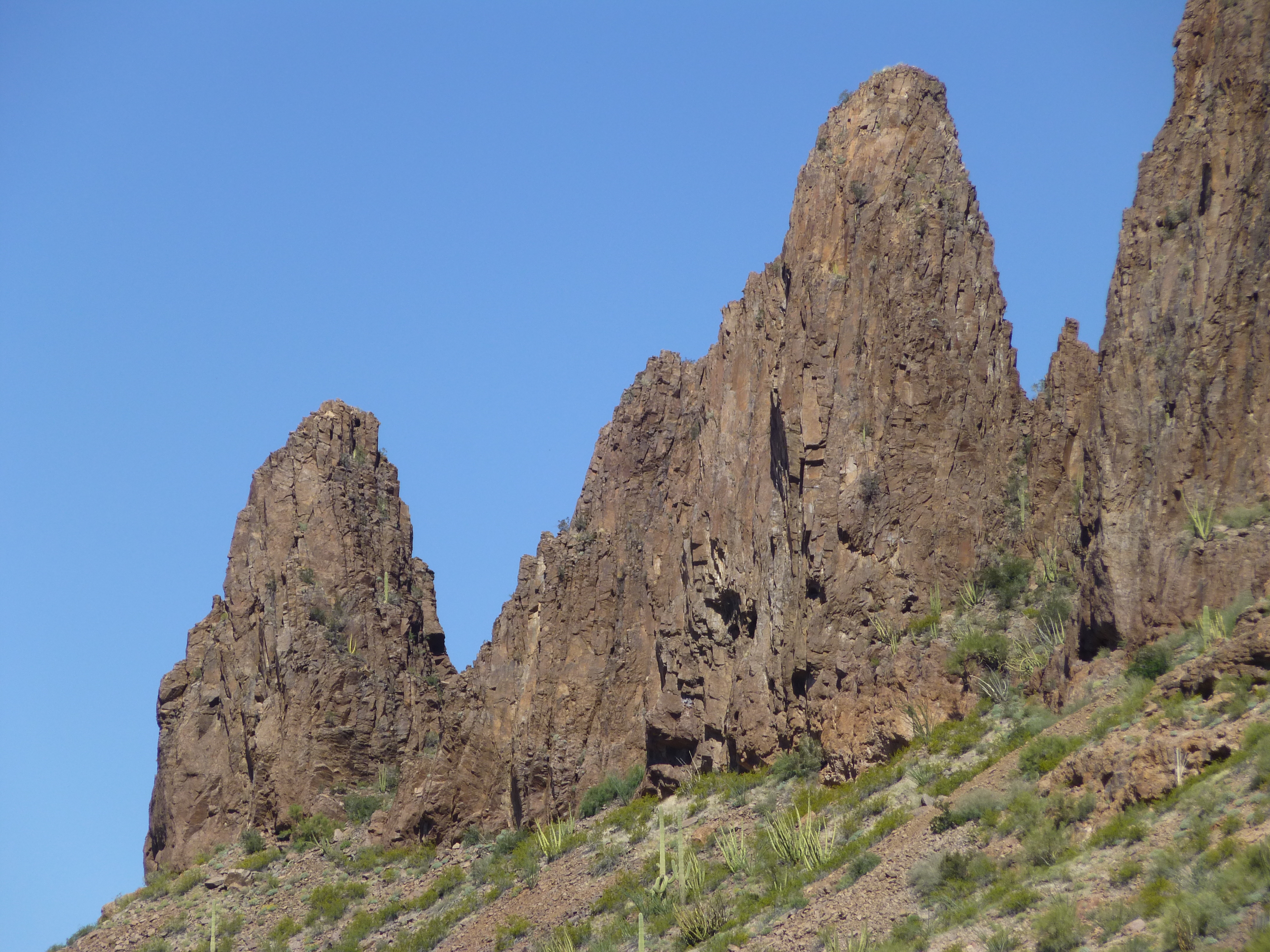
Local beauty
They were very striking, and I knew I’d have to climb them. My first chance came during spring break in 2014. It was March 18th, mid-day and fine. I parked just off the road and headed out. I didn’t know anything about Peak 3310 besides the fact it’d been done before. Here’s what I saw as I started out.
Looking south to the start of the climb
The climbing went up a steep gully on the peak’s north side, then up into some nice open country. As I kept climbing, it became apparent that there were a couple of possibilities for the summit.
Making my way to a saddle between the two. it quickly became obvious that the northern bump was higher, just like the map showed – but how to get up the thing? It looked messy. I fished around on the rotten cliffs for a while and got pushed into one spot that seemed like the only way up. Did you ever climb up something where you realized you were doing something really stupid, taking way more risk than a man’s got a right to? This was one of those very places. You’re thinking to yourself that this has got to be the right line, but God, I wish I were roped up! The rock was absolute crap, and the crux had deadly exposure. I was sweating bullets and praying as I pulled up on to easier ground. “Shit, that was really stupid” was the thought that blared in my mind. A short scramble later and I walked on to the summit, where the register had several entries. There was some chatter among them that they too were surprised at the dodgy bit and the exposure, and some consensus that it made sense to be called 5.1 in difficulty. I signed in but didn’t stick around to enjoy the view – all I wanted was to be down off the thing in one piece. After some very careful down-climbing, facing in to the rock, I was past the worst of it and breathed a sigh of relief. The crux was – well, let me describe it for you. See the flat top in the next photo? Below it, just to the right of center, is a dark patch of rock with a white spot in it. The route angles up to the left above the spot and forces you to climb a rotten, steep, exposed chunk of rubble.
A view of the south side of the peak, showing the area of the climb to the summit
Retreating back the way I had come in, I was surprised to find that the entire climb had taken barely two hours.
The next morning, March 19th, I went out to do one more. Driving in close on the west side, I set out up a valley surrounded by huge cliffs. I’d gotten an early start and the morning was cool as I climbed up 500 feet to a saddle. Once there, I made a right turn, headed south and looked for a break in the cliffs. That found, it was short work to walk along the flat summit to the highest point of Peak 3325. A summit register awaited, and I got a kick out of the entries (there actually was a screwdriver lying there). Zoom in to see the writing.
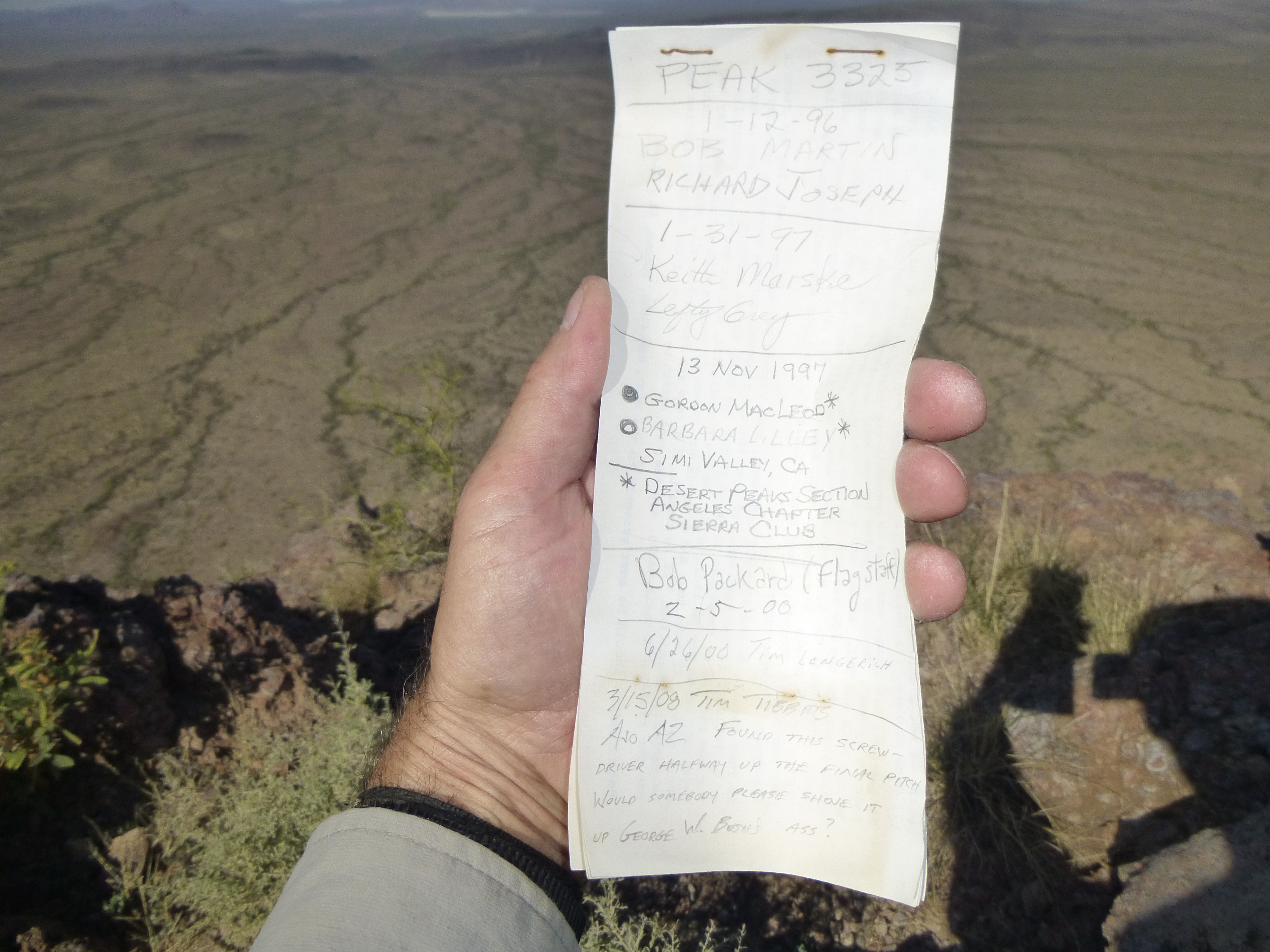
Peak 3325 summit register
A look back to the southeast to Peak 3325
I had an unbroken view to the west across the Pozo Redondo Valley and the Valley of the Ajo to the town of Ajo. Even though I stood a mere 15 miles from the town, the peak felt far away from people. It was a perfect day, the kind that makes you want to climb some more, and there was another peak not far to the north.
My idea was to head back down to the saddle, then climb up on to a long ridge and continue until I reached the next summit. The ridge was great, with plenty of exposed rock and great views. Things were going well, I was making good progress, and felt pretty optimistic about making it all the way over to my peak, when things came to a screeching halt. I had been forced to cross some gashes in the ridge, down one side and up the other, and had made it across each of them when my luck ran out. I came to a gap with vertical walls I couldn’t downclimb. Sure, I could’ve made my way off the ridge and gone around, but my heart wasn’t in it. Although I had days more time left before I had to return to work, I went home instead.
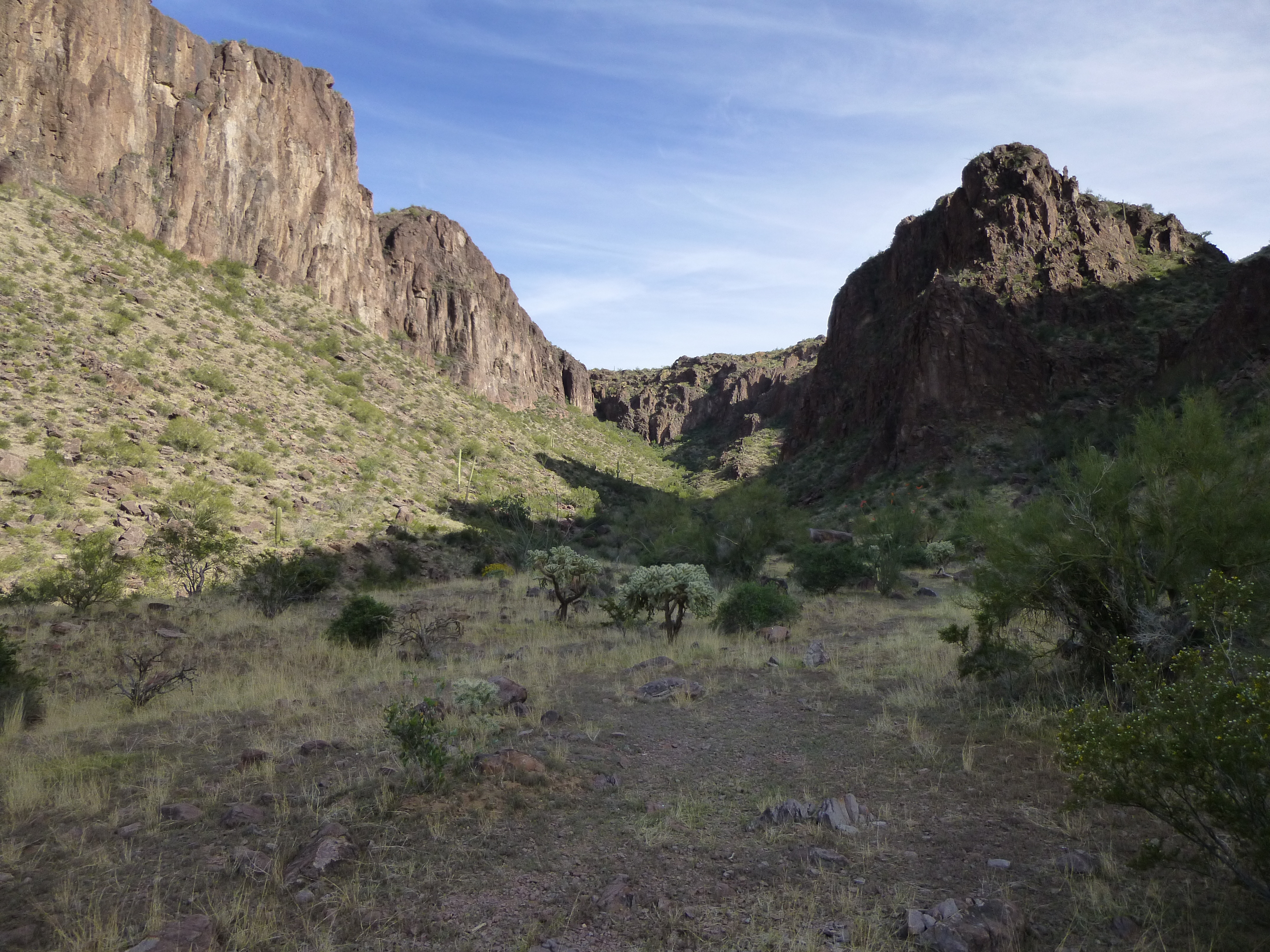
An un-named spire in the Sikort Chuapo Mountains
The northern boundary of the Sikort Chuapo Mountains would appear to be the gas pipeline road, that seems clear enough. But what separates the range from its much larger neighbor to the east, the Sauceda Mountains? Personally, I think it’s the valley to the east of Peak 3093, so that puts the peak in the Sikort Chuapo rather than the Saucedas. I say that because the valley to the east of the peak is broader than the one to its west, and if you’re in the area it just looks more like a natural dividing line between the ranges.
Another un-named, un-climbed challenge in the Sikort Chuapo Mountains
The better part of a year passed before I would be back in the area. On February 27, 2015, after a long morning of climbing, I parked to the north of Peak 3093. A short walk took me to its base, where I climbed a broad vegetated ramp in a westerly direction to arrive on the flattish summit area. Several hundred yards of heading southwards brought me to an outcrop where I found a register which had been signed by all the usual suspects. I added my John Hancock, then ambled down and back to my truck.
Wow, there was only one left to do to finish all the peaks in the range, the one I’d given up on in the previous year. There was nothing for it but to go back in one last time, two weeks later and almost a year to the day since my failed attempt. I parked on the pipeline road and set out to the southeast, climbing up a lovely valley hemmed in by, to put it mildly, eye-popping crags.
More amazing stuff
The hillsides were crosscut with many gullies, slowing my progress, but eventually I reached a saddle to the northeast of my peak. Once there, I made a big loop to the south, then west up a canyon. The safest bet looked like a climb north up a side canyon to a ridge, and that’s exactly what I did. From there, it was a short walk to the top of Peak 3370, where this greeted me.
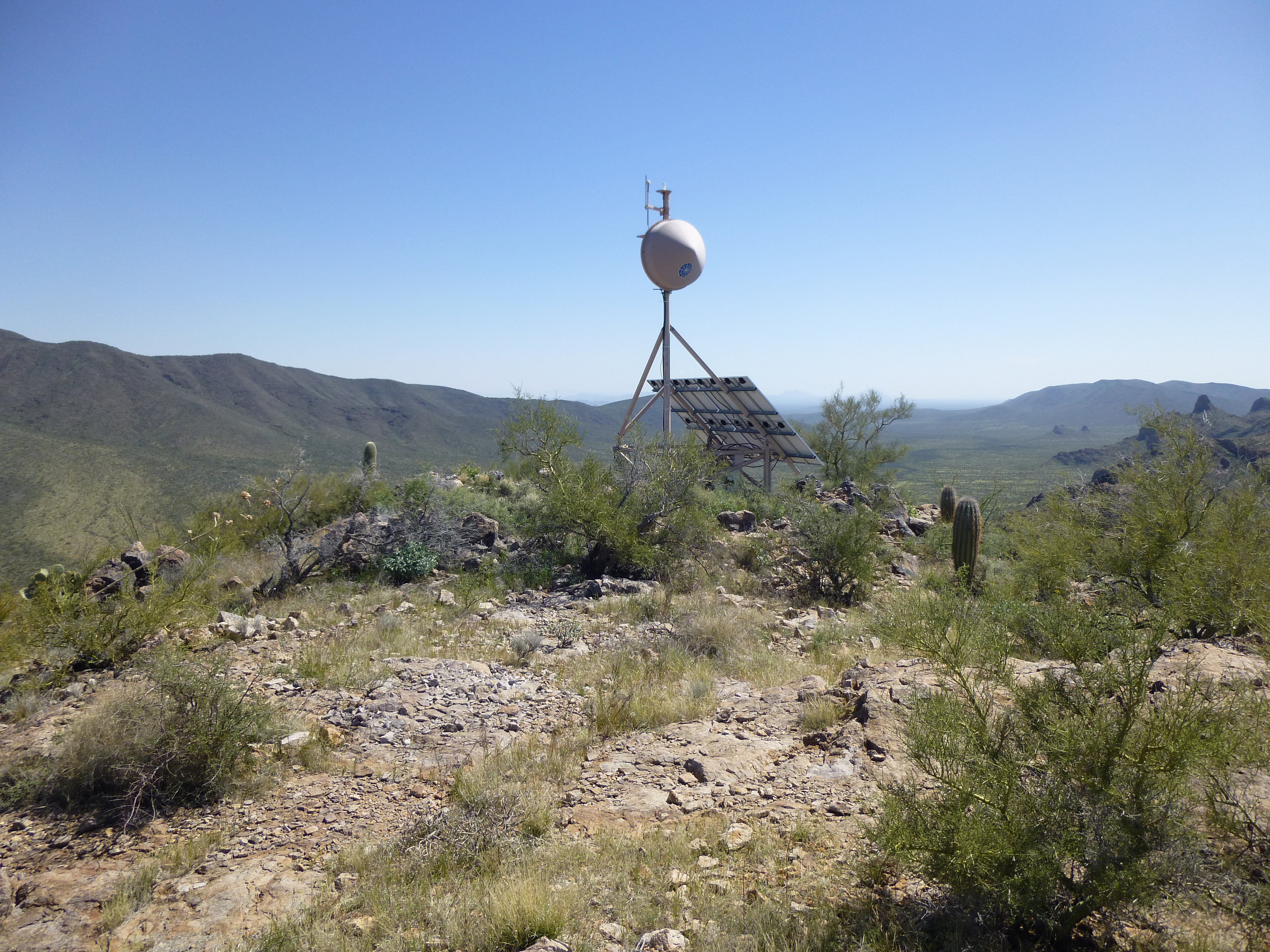
Communications equipment on Peak 3370
I found the register, signed in and enjoyed a leisurely lunch. While there, I got a wild hair and decided I’d exit the peak via its south ridge, completely unknown ground. It worked, but just barely – I found what had to be the only way down (speaking just for myself, of course), a bit of Class 3 through some nasty cliffs. It was with some relief I stood in the saddle 900 feet south of the summit, then retraced my steps to the truck, arriving almost four hours after I’d set out.
In retrospect, the Sikort Chuapo is a great range. There’s plenty of remoteness in some areas, and plenty of steep, challenging rock in others. I loved being in there, and you will too.
Please visit our Facebook page at: https://www.facebook.com/pages/Desert-Mountaineer/192730747542690