
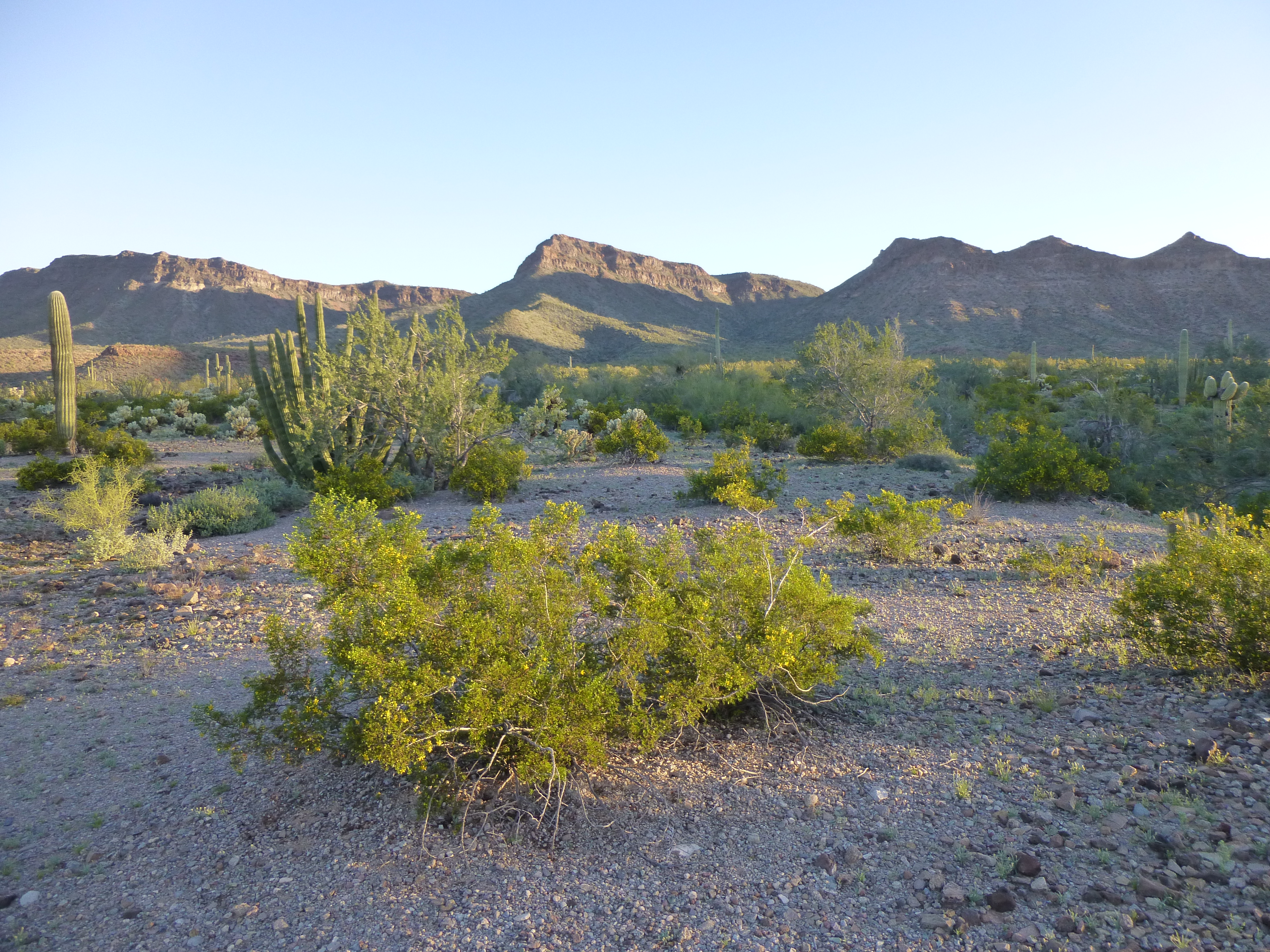
Fresh from two days of climbing in the Saudeca and Sikort Chuapo Mountain ranges, I arrived at Bates Well late in the afternoon of March 14th. This historic site was the home of Henry Gray until 1976, but there was no place there to camp for the night. I rolled on farther down the road, about two miles to the west, and parked just off the Camino del Diablo by a little hill. There was nothing private about it, being barely a hundred feet off the road. It had the advantage, though, that I could start on foot right from there in the morning. I had a good view of my first peak for the morning.
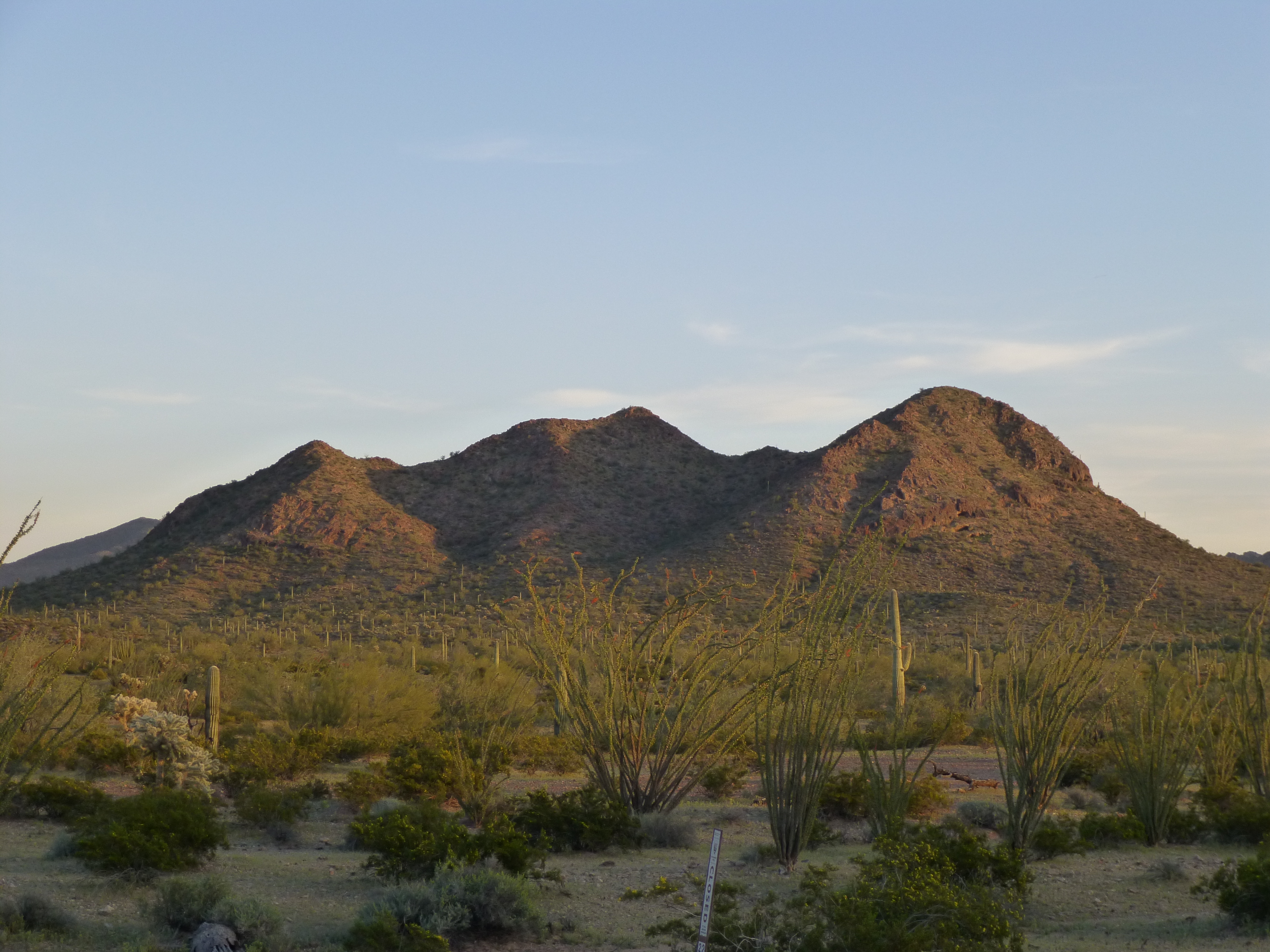
A telephoto shot of Peak 1850, to the south of my campsite at sundown
Border Patrol vehicles drove by all night long, patrolling for smugglers and each time raising a cloud of dust which settled on me and my gear, but hey, beggars can’t be choosers. One of them pulled right up to me in the wee hours – I heard him say to his partner “Oh, it must be that climber who’s in the area”. Worked for me.
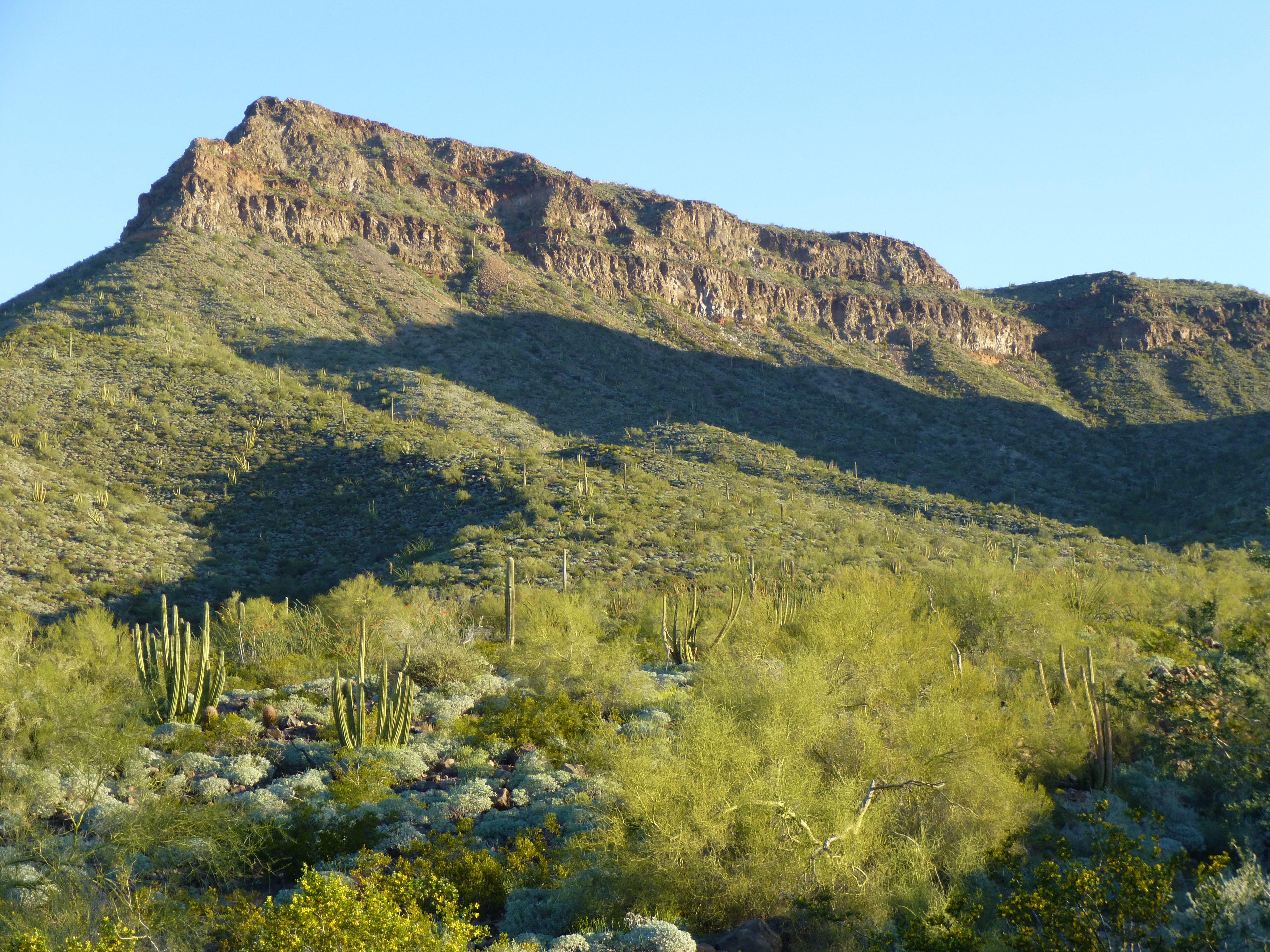
I awoke early, locked all my camping gear in the truck, and set off on foot at first light, about 6:15 AM. It’s magical, walking across the desert before dawn. All is quiet and still, then gradually birds start to sing. As you move along, you may surprise rabbits, javelina or coyotes. There were a few washes to cross, but soon I reached the north side of my mountain. I climbed up the gully between the lower spot elevation (1,822′) to the east and the clearly higher summit of Peak 1850 to the west. On the summit at seven o’clock, I quickly discovered that smugglers had destroyed the register left 15 years earlier. I knew that if I left a new one, it wouldn’t be there long, so I left the summit as I found it. The sun had just risen as I took this photo of the Growler Mountains a few short miles to the north.
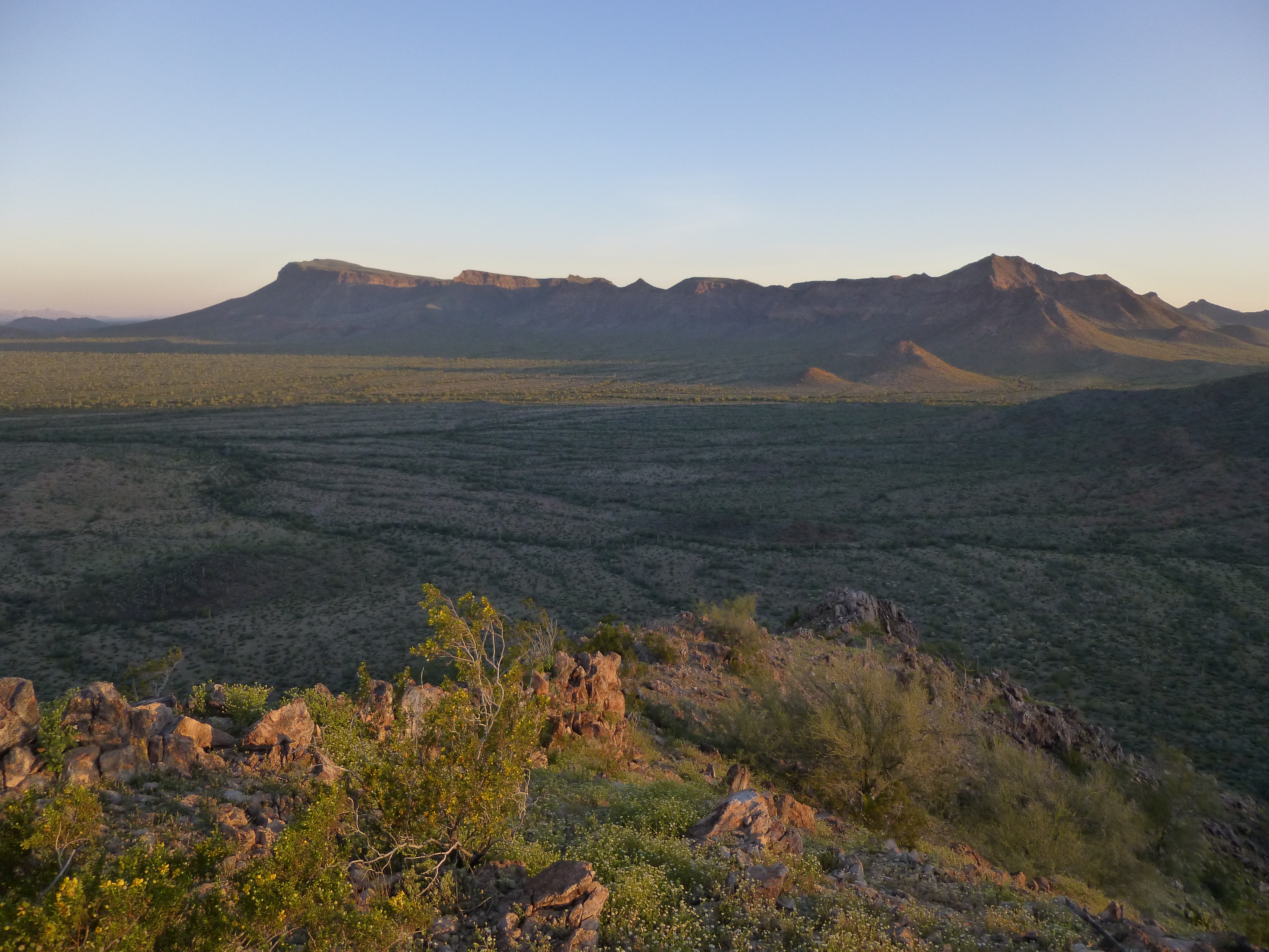
Looking north from Peak 1850 to the southern end of the Growler Mountains.
After a short break, I headed down to the saddle, then southeast down to the desert floor. Awaiting me was the mighty Growler Wash, a 1,200-foot stretch of vegetated hell. I’m not very good at identifying plants, but it seemed like every variety known to man must have been growing there, at least all of the kinds bearing thorns. What a bushwhack! After I’d pushed my way through the last of it, I found myself on open, easy ground.
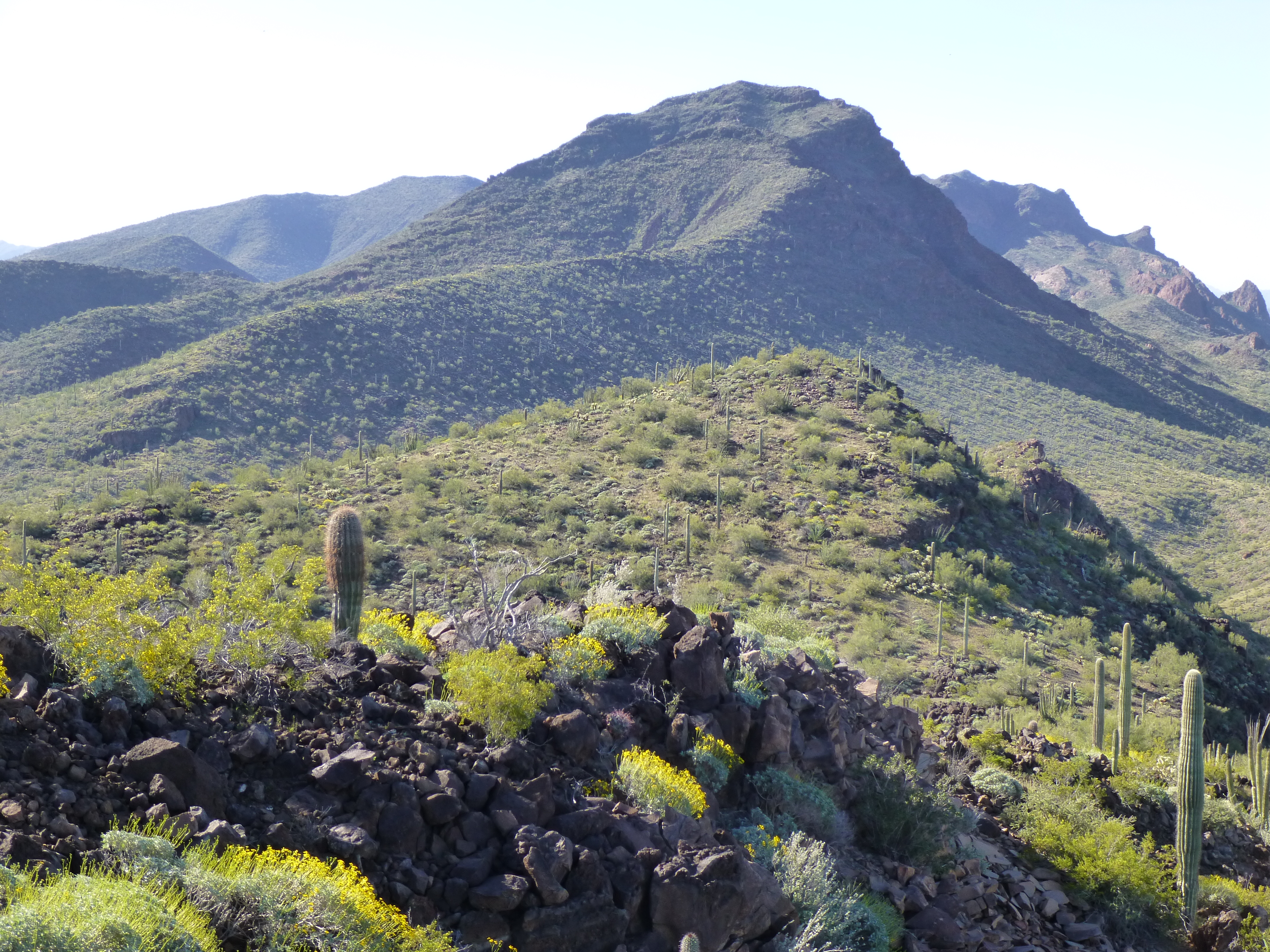
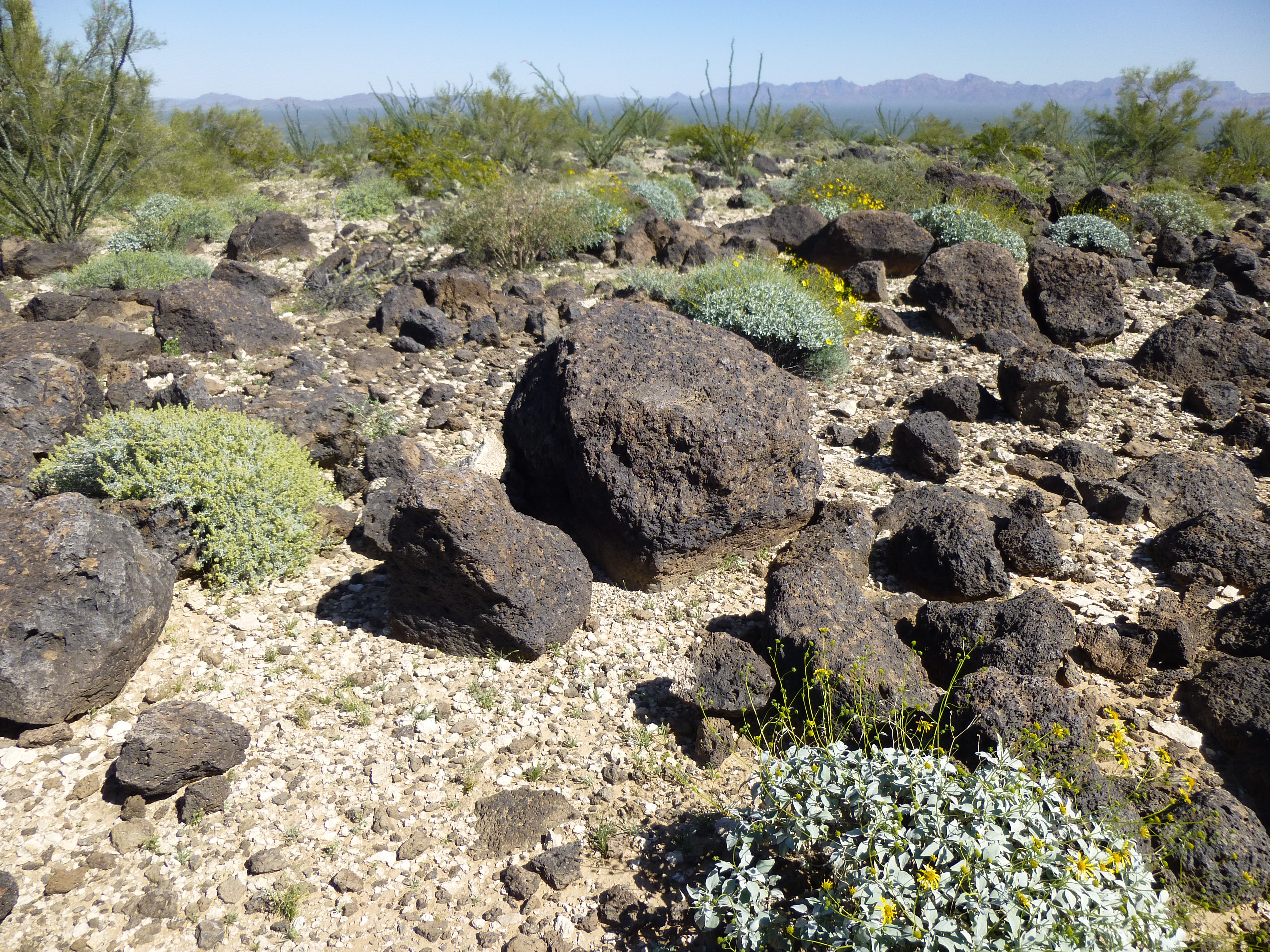
Heading southeast up a valley, I made good time. It wasn’t boring with great scenery such as this, an un-named 250-foot pinnacle watching over its own patch of desert.
Future fun?
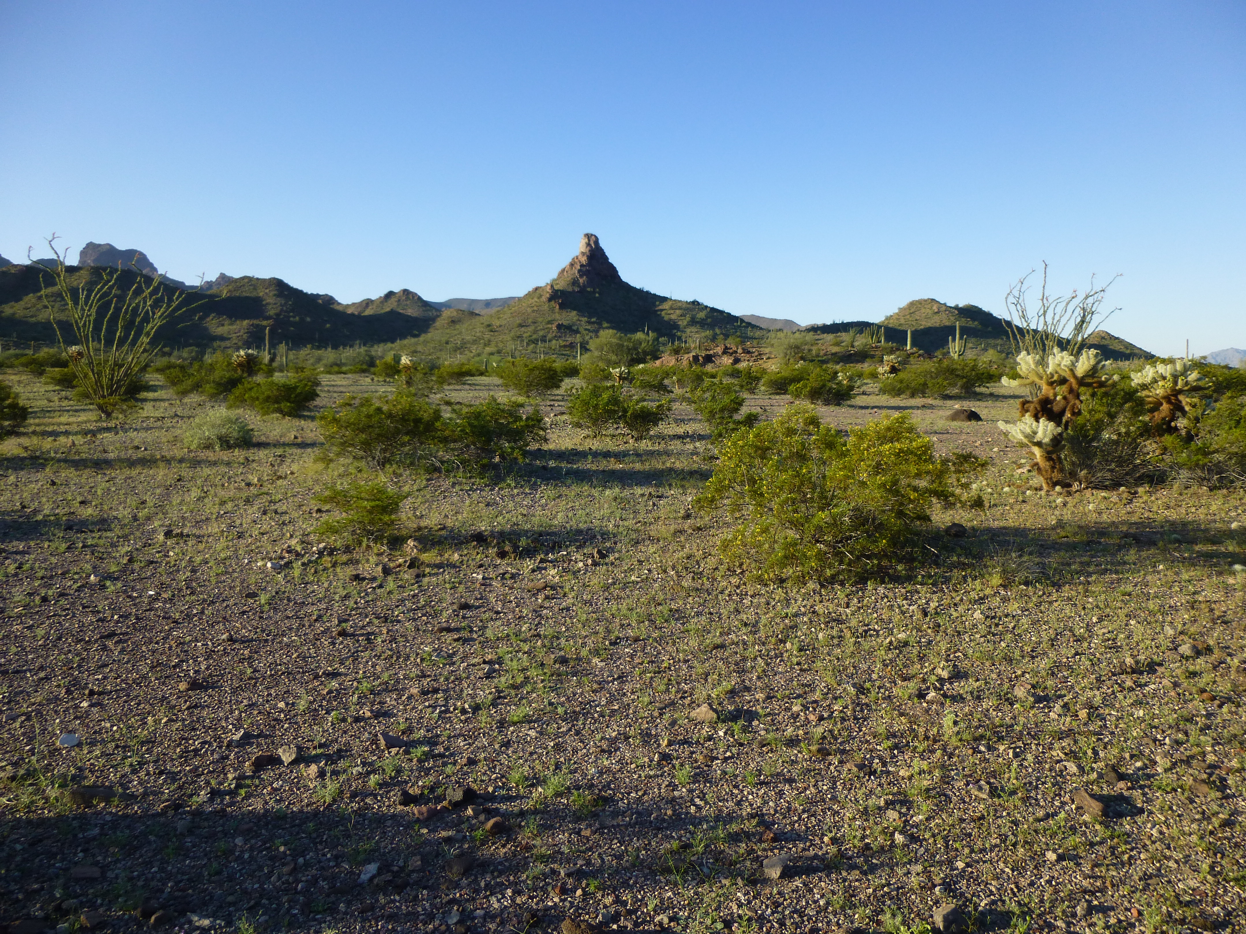
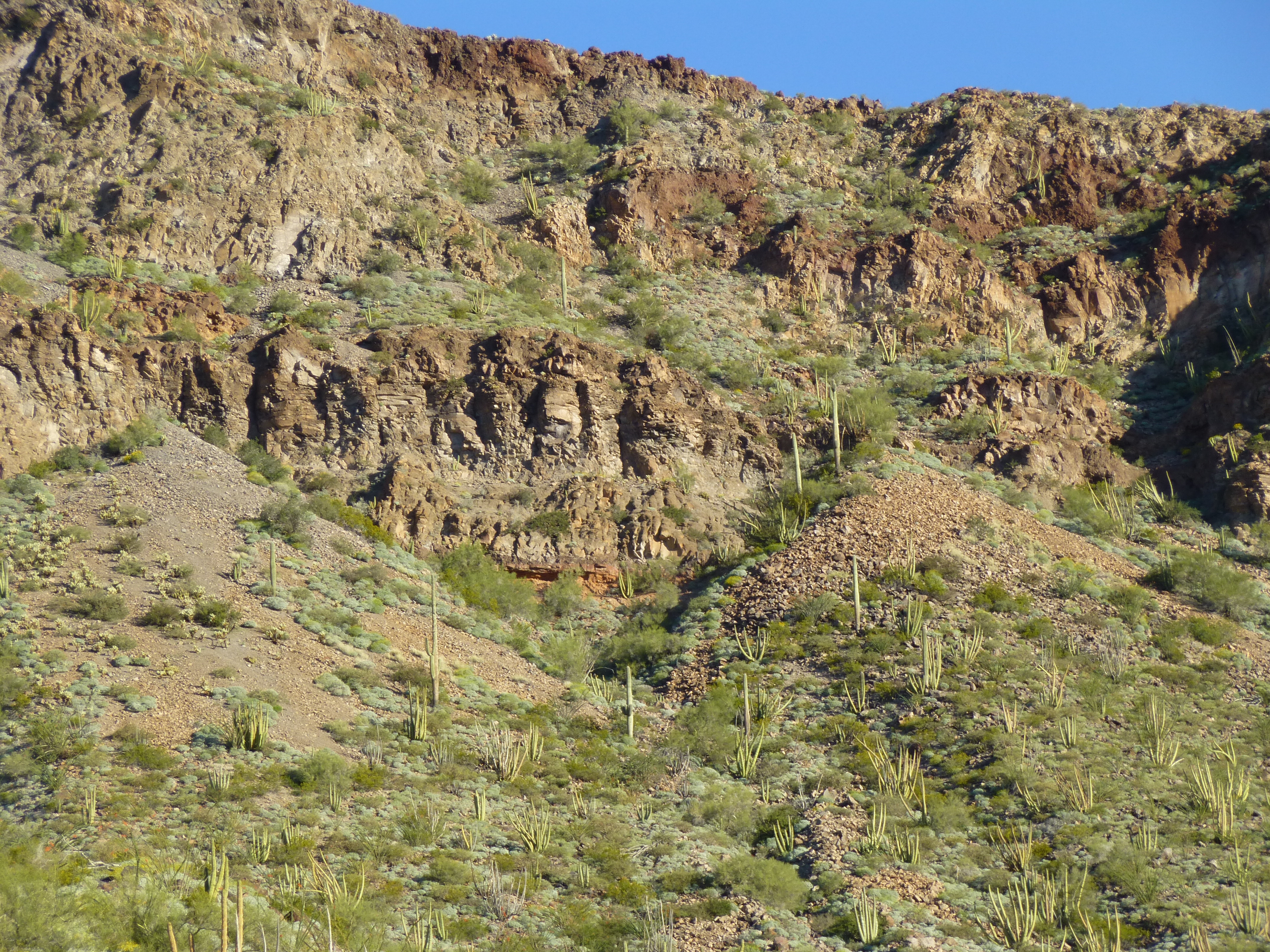
Much to my surprise, I encountered a road heading up my valley, which I followed for a mile or so. A few short years ago, this road didn’t exist. Like many others out here, it had been created by smugglers driving quads and stolen pickups to carry out their illegal activities. The Border Patrol had continued to drive it once it had been created, as it now helped them to catch Bad Guys. It turned south and finally ended deep in the Organ Pipe Cactus Wilderness area less than two air miles from Kino Peak. From near its end, I climbed up the steep west side of Peak 2210 to its northern saddle and then on to its summit. There, at 9:00 AM, I found a register, but the jar had water inside it and the paper was ruined. I didn’t leave a replacement, but did take time to eat something and enjoy the great views.
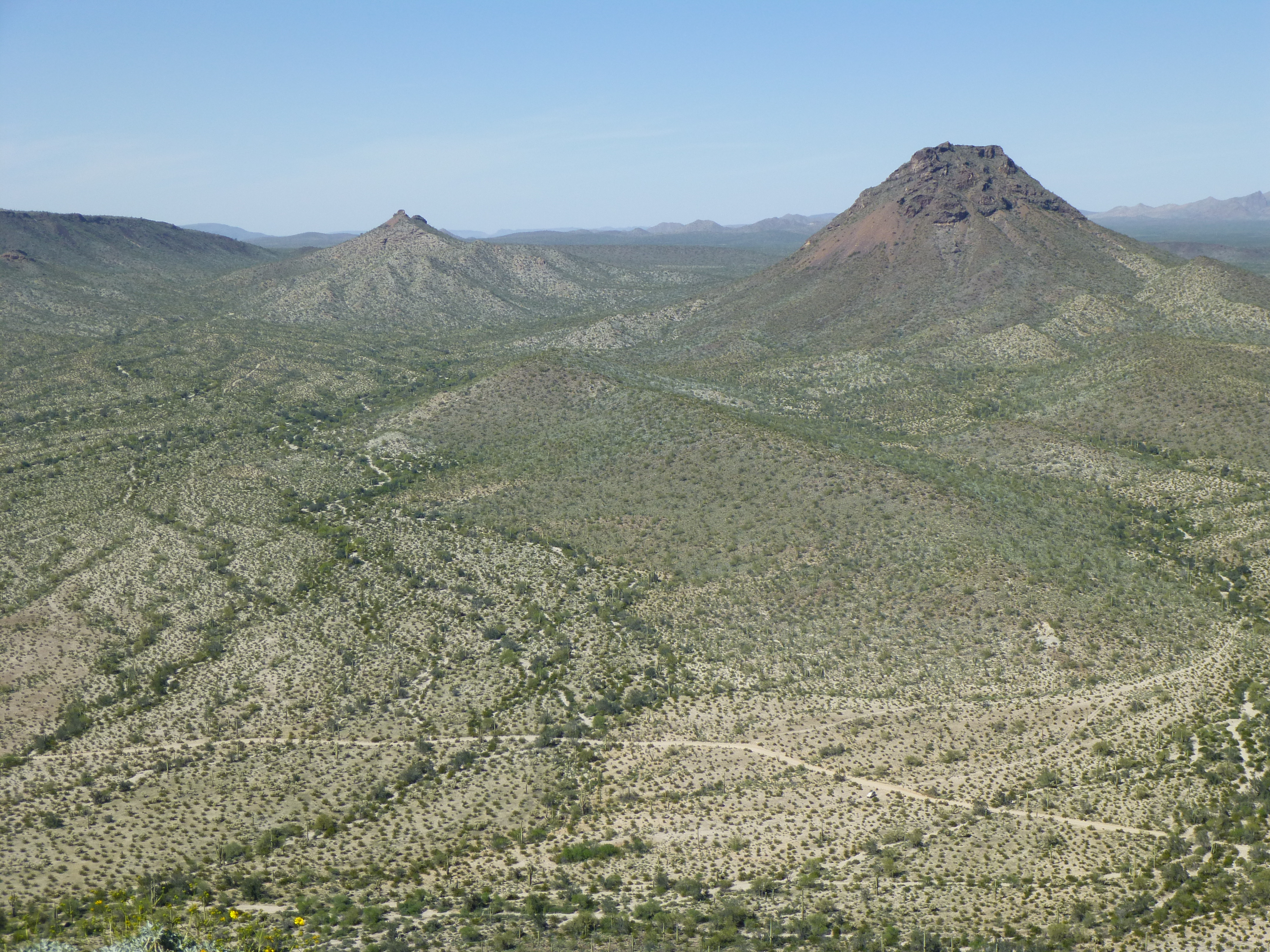
Looking SSW to Kino Peak
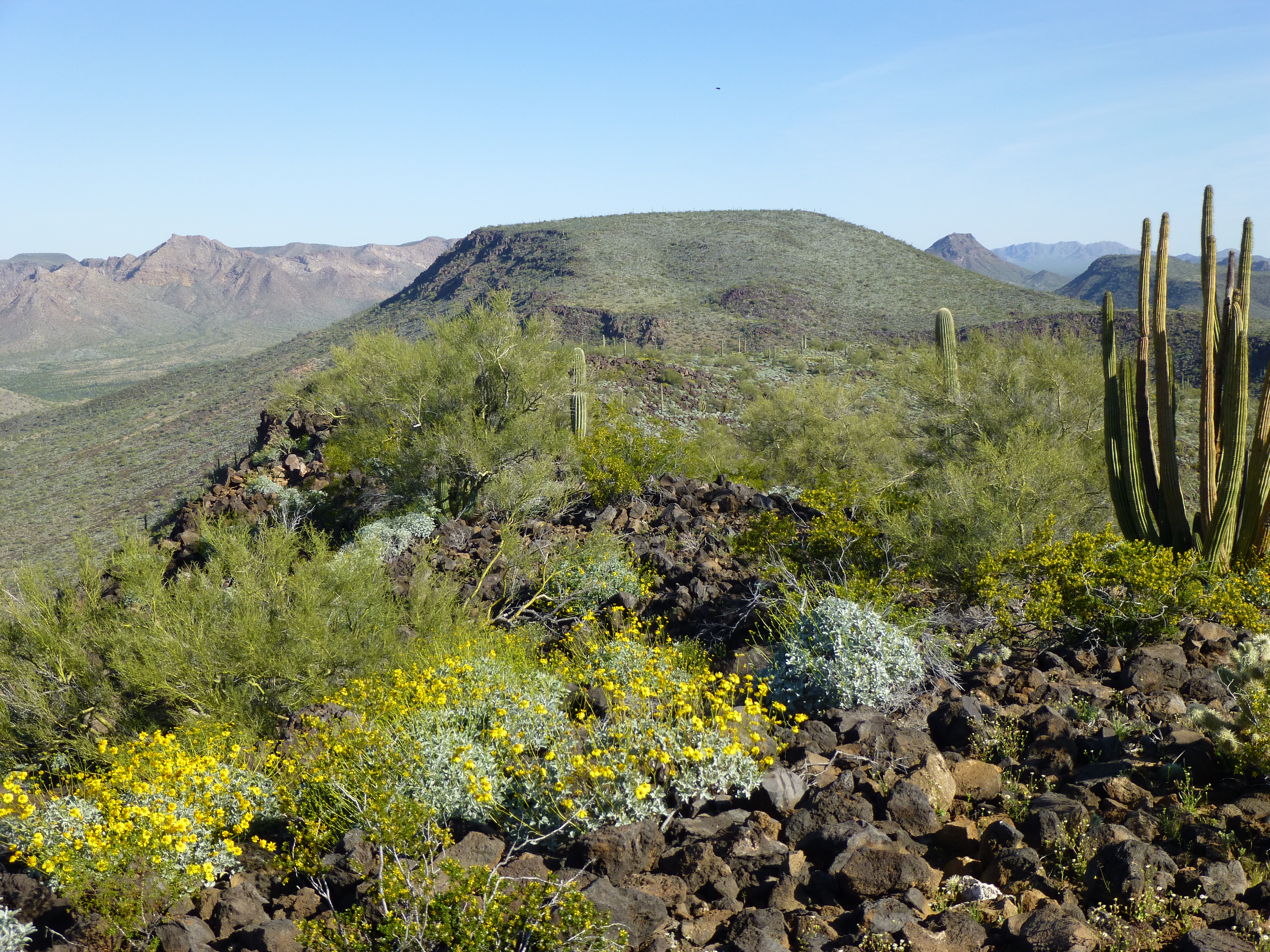
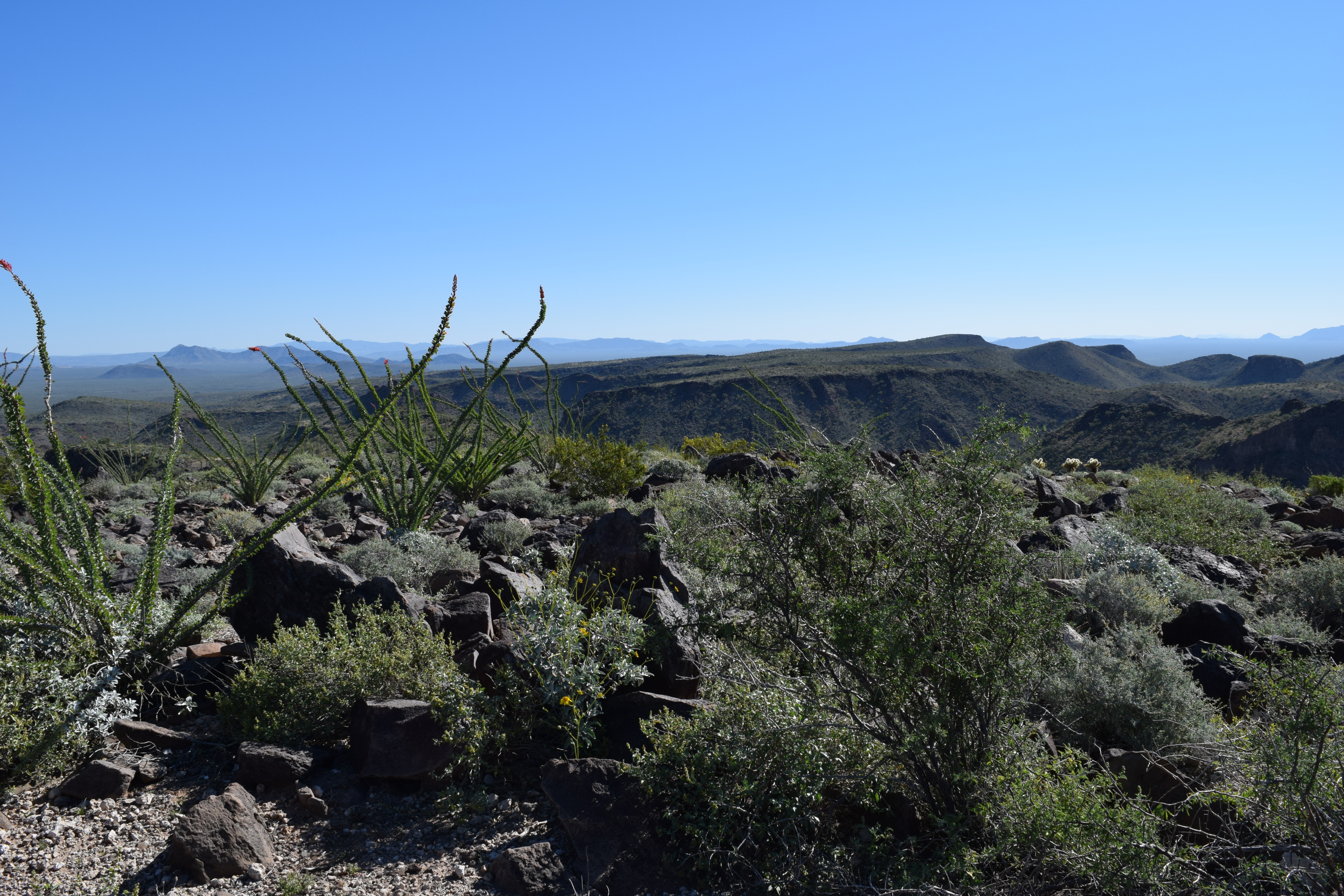
I could look south along the ridge I was on and have this view of Peak 2919, which was exciting because it was on a high-priority list of mountains I wanted to climb.
Looking south to Peak 2919
Another one I knew I’d climb soon was this one, Peak 2390 to the north of my position.
Looking north to Peak 2390
Here’s a view of the valley that heads south to Kino Peak. Paul and I had walked this a few years ago during a long and eventful day. If you haven’t already done so, read about our adventure in the story “Death March” on this website.
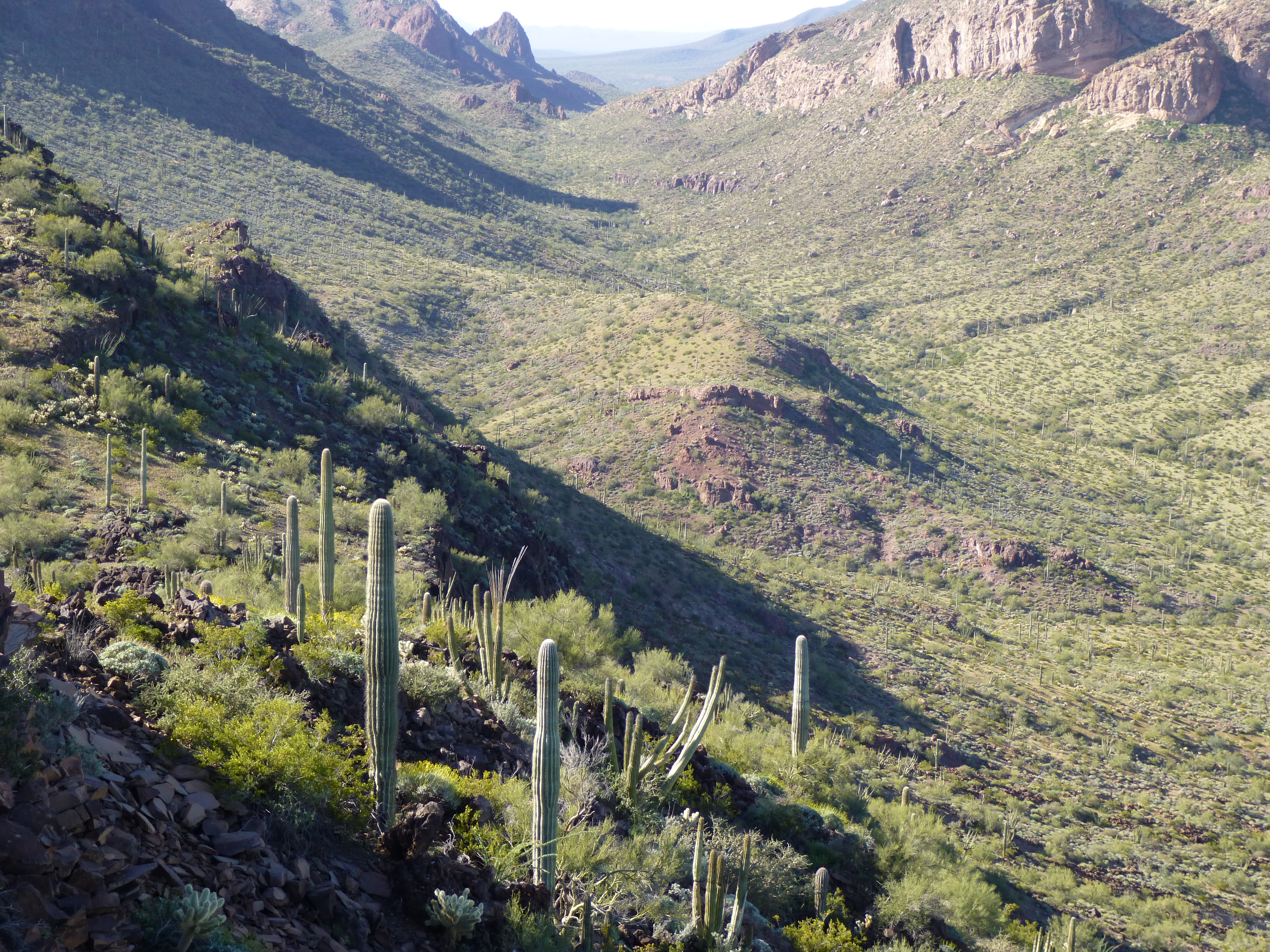
The un-named valley heading south to Kino Peak
It was time to go. I made my way back down to the end of the road in the valley below and followed it a good two miles back to Growler Wash, where I enjoyed an unprecedented thrash through the tangle of greenery. No photo would do it justice, none could convey the misery, so I haven’t given you one. Once through, though, I found an old road and walked it through a low pass surrounded by red rock.
The red rock
There’s not much more to this tale. After some easy ground, I arrived back at my truck just after eleven in the morning. The nine miles had taken five hours to cover. Two peaks bagged through some very special desert country.
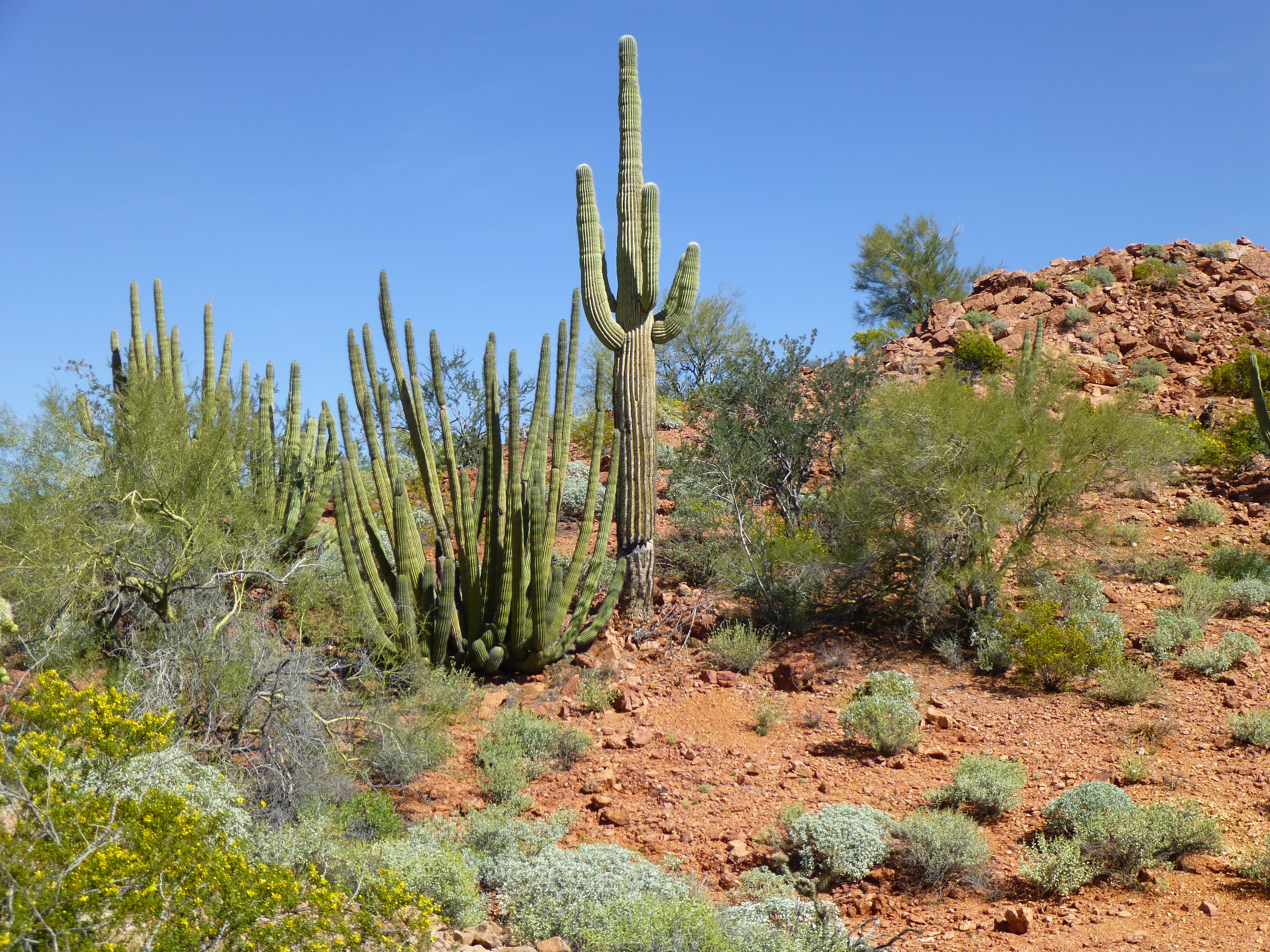
I had a proper lunch in the shade, then drove east along the Camino for four miles or so to park by another mountain. It was a steep scramble up the north side of Peak 2192, where I found this boulder-strewn summit.
The top of Peak 2192
In this next photo, Scarface Mountain is the prominent peak on the right side. See the dirt road running across the lower part of the photo? That’s the historic Camino del Diablo, the Devil’s Road, along which hundreds have perished from the desert heat. Zoom in and you’ll find my truck parked just below the road.
Looking north to Scarface Mountain
After a short stay, I dropped back down to my truck and drove the two miles to Bates Well. With time on my hands, I explored the area with its historic buildings and corrals.
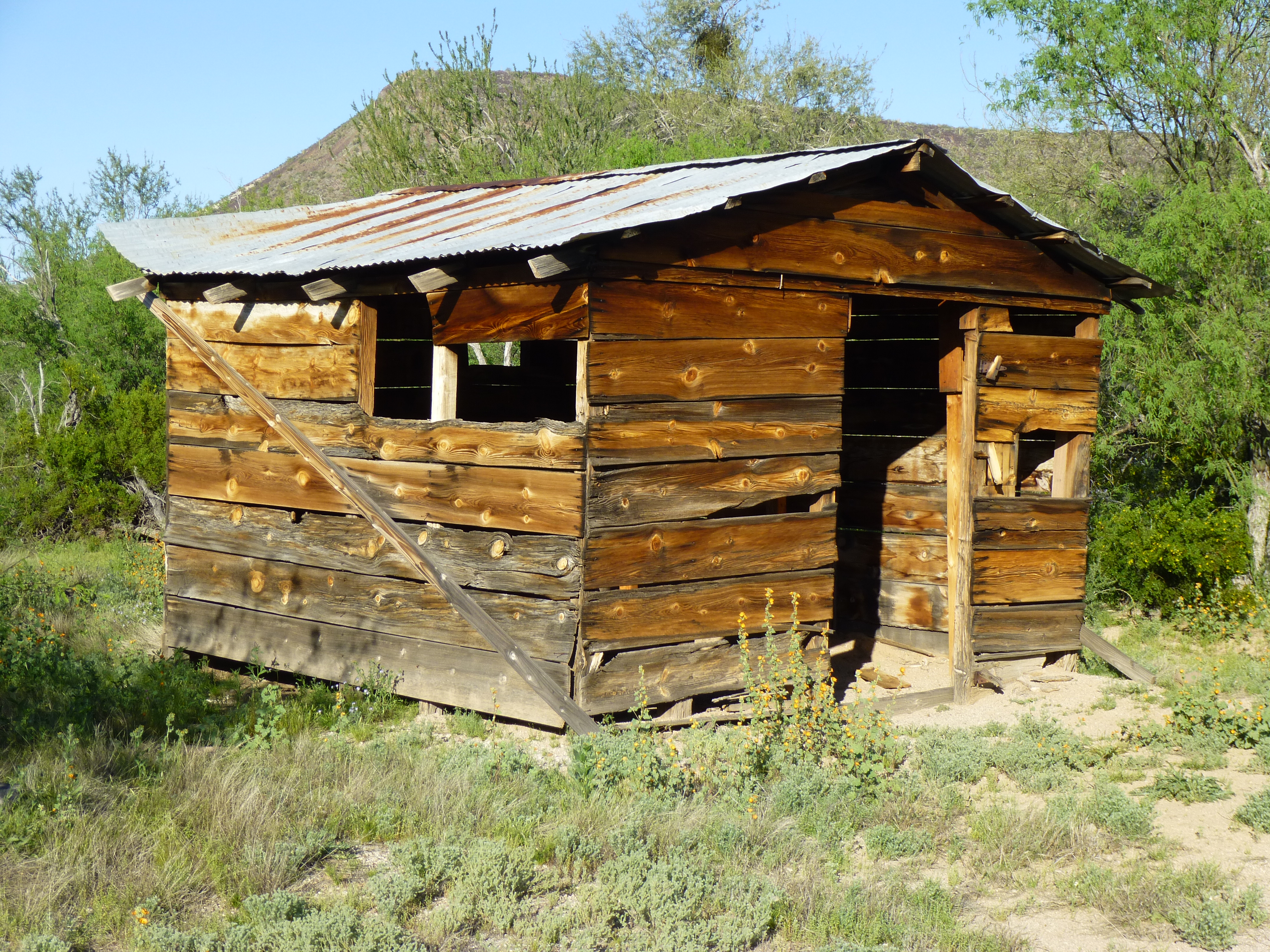
Old building at Bates Well
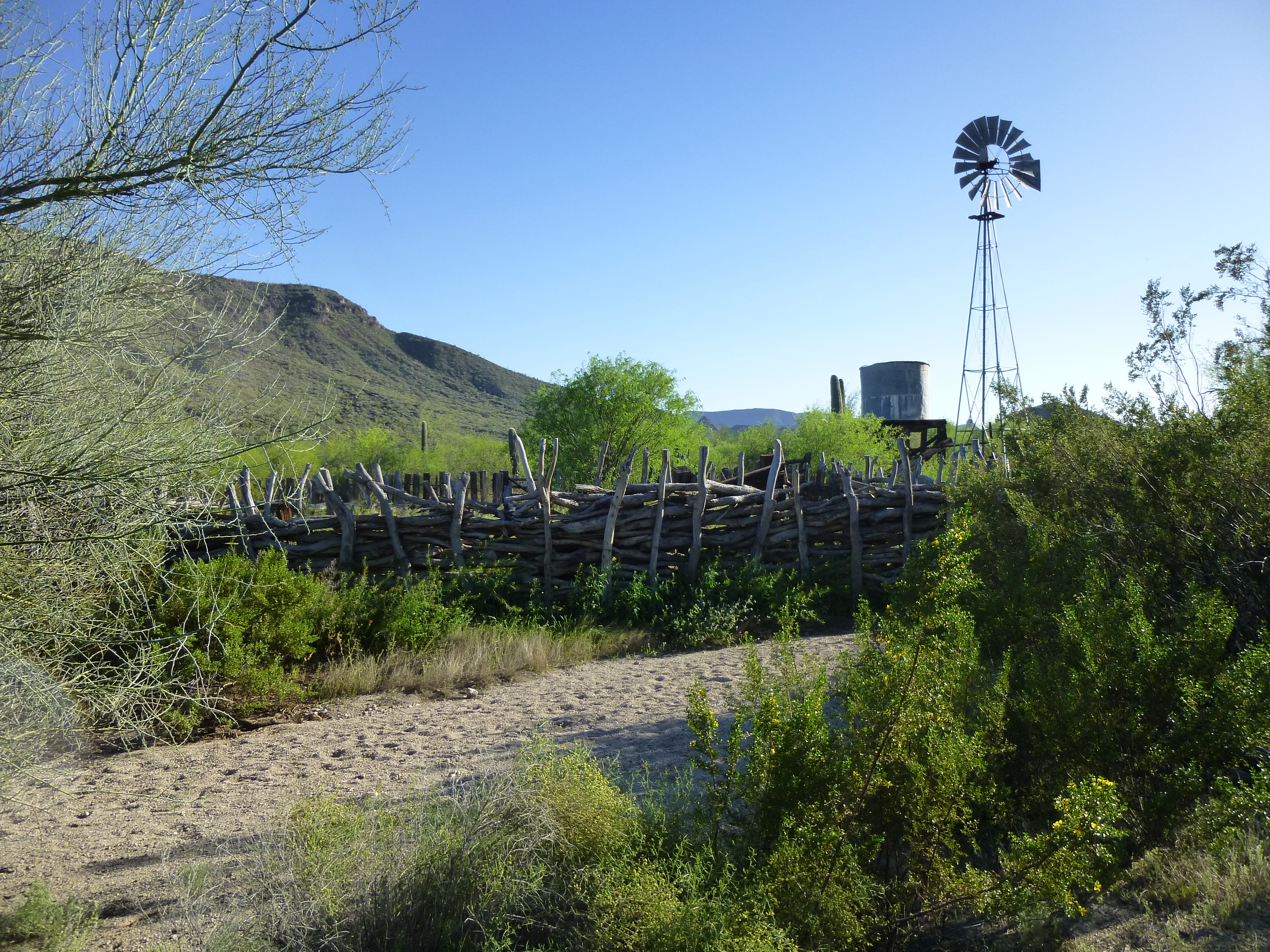
The old corral and windmill
Right on schedule, Jake and his father Jim arrived. They’d been down at the border doing some peakbagging and now here they were for our next adventure. We found a good place to camp and enjoyed happy hour as the sun set over the Sonoran Desert. We were psyched for tomorrow’s climb.
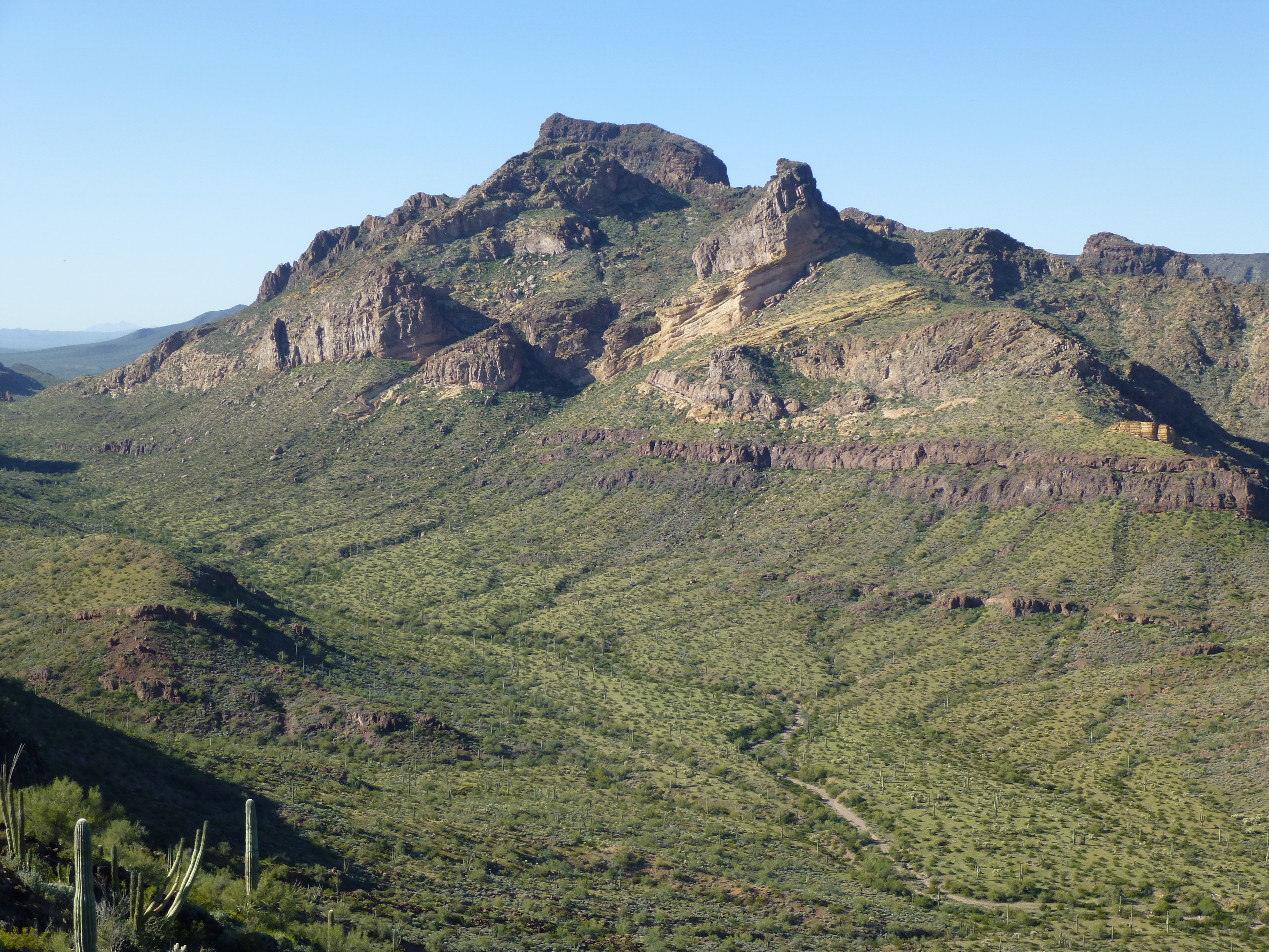
The next morning, we were up and moving at daybreak. Here’s the first good look we had of the peak we wanted to climb. It’s the one in the center of the photo in the sunlight, with the long gentle right-hand slope.
Looking north across the desert to the Growler Mountains
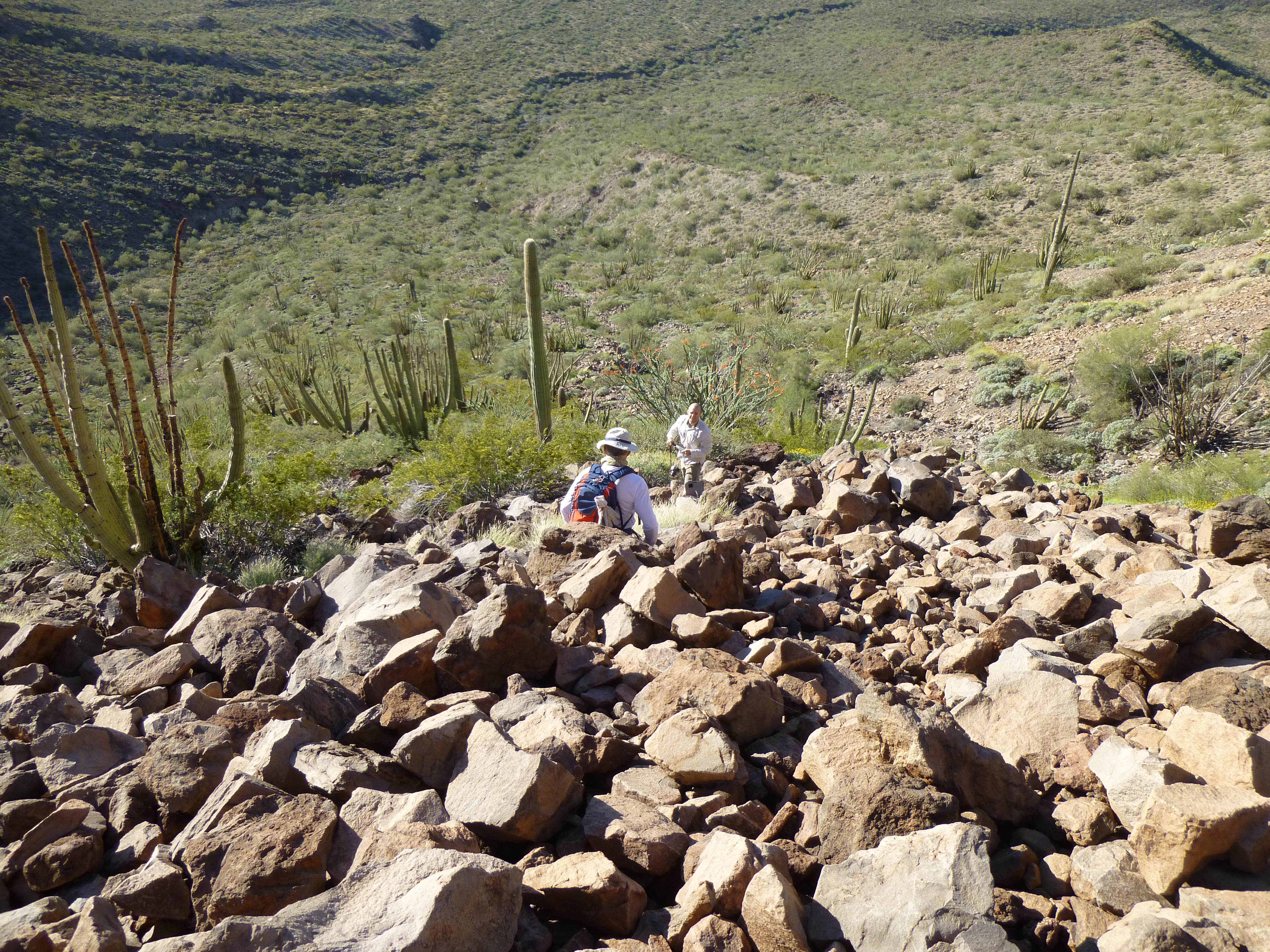
It was just before seven when we set out. The miles passed quickly with friendly banter. After a while on the flat terrain you see in the above photo, our path led into a rocky wash which we followed for quite a while, then left it to gain a prominent rib descending southeast from the summit area.
A closer look at our peak
Once well up the rocky rib, we had this view over to our climbing route.
The route up through the cliffs
It was my bright idea, conjured up from many miles distant through a pair of binoculars, to go up through these cliffs. Jake and Jim were all-too-trusting and took my word for it that it’d work. In the above photo, see the cone of reddish rock over on the right-center part of the photo. We scrambled up that, then wove a very circuitous path through several bands of rotten rock. There were several spots of Class 3 with exposure, and most of it was rotten crap. The last few hundred feet were climbed that way, then suddenly we stood on the nearly-flat summit plateau. It was a short walk to the highest spot, and there we stood at 9:00 AM on top of Peak 2569.
Looking east on the summit – this photo courtesy of Jake.
We took our time, eating lunch and savoring the fact that no other climbers had ever stood there before us. It was a remote peak and it felt good to be there. The last thing we did before starting down was to leave a register, Jim’s first – we also had him do the honors of building the cairn.
It was a bit of tense fun retracing our steps back through the rotten cliffs. then down the reddish talus slope.
Looking down the talus slope.
Once down on the desert floor, we chose a quicker path back to the trucks, avoiding the rocky wash.
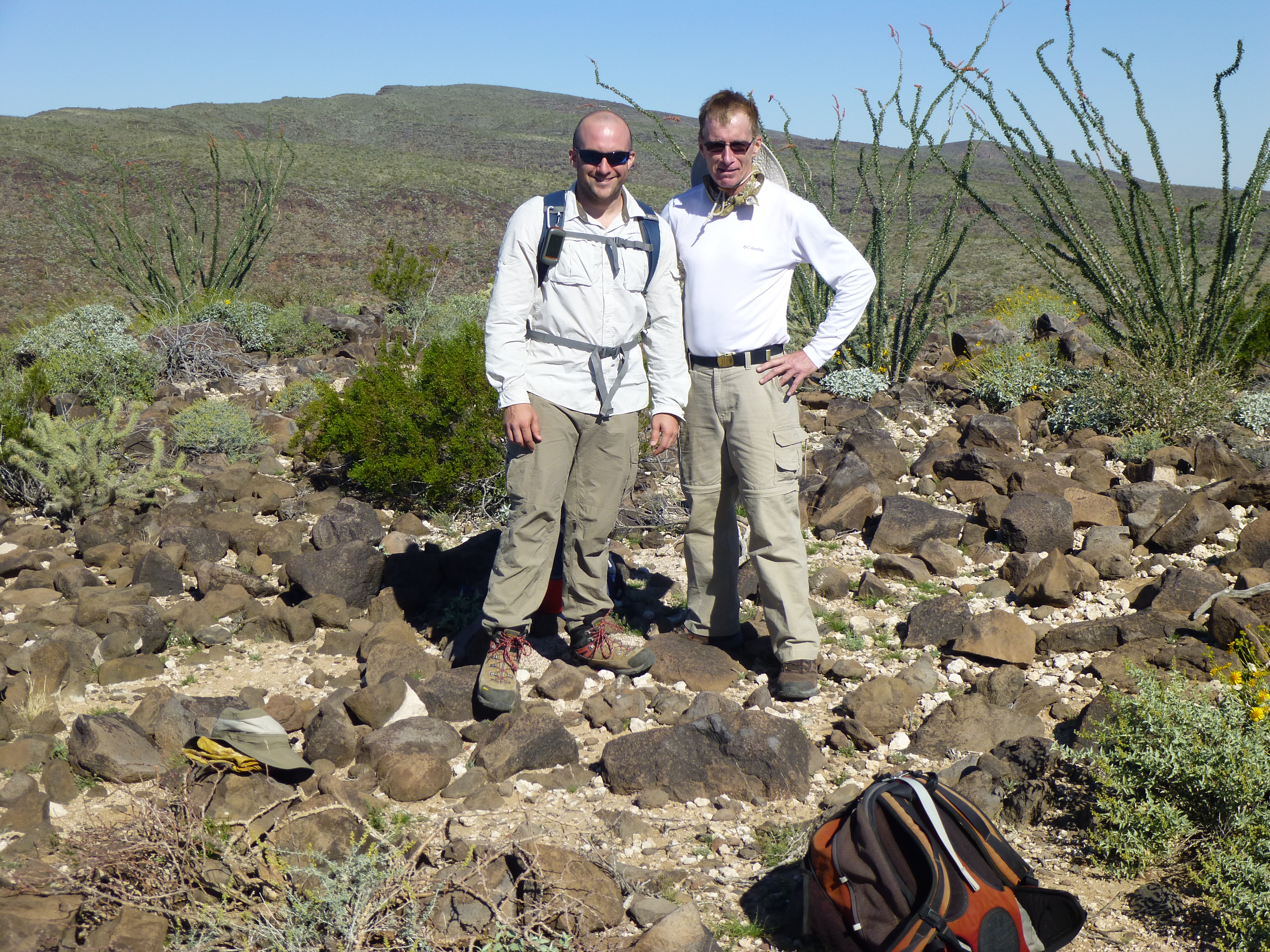
Jake (left) and Jim
By the time we reached our parking spot, almost six hours had passed, and it was hot – low 90s for mid-March is well above average for this area. We started driving east, back towards Bates Well. I was out front, and just assumed that they’d be close behind me, although it was hard to see them through the dust plume I was raising. I’d gone about 4 miles when I got a phone message from Jake – I was surprised to see any reception out there. He said they had a flat tire and could I come back to give them a hand? Natch, so I turned around and drove back all the way to where we’d left the Camino for our climb. They were nowhere to be found. Puzzled, I drove back to Bates Well, and there they were – I’d misunderstood their location.
There was a problem – the apparatus that held the spare tire up against the body of the truck was rusted and the tire couldn’t be lowered. I had a few tools that we hoped might help, but even so, it was a struggle for Jake and Jim working in the confined space under their truck. Then our fortunes changed. Two vehicles pulled in from the Camino and parked by us. They had a huge bumper jack, which quickly had the truck lifted high off the ground. With even more tools from these folks, the guys made progress and eventually had the spare loosened. After that, the tire was soon changed. That problem was solved, but there was still another.
I had made one of the biggest blunders you can make out in the desert – I had pushed my luck, not filling my gas tank as I passed through the last town. Foolishly, I thought I’d have enough gas to cover all the miles of the last few days. Now, I was running on fumes, and was positive I’d never make it back to town before running out. But it truly was our lucky day. I asked these good samaritans if there was any way they could spare a bit of gasoline, even if I had to siphon it from their gas tank. “No problem” was their reply – they had two 5-gallon cans of gas with them, which they no longer needed as a reserve. They poured it into my tank, and wouldn’t take a penny for it!! All they asked was that I pay it forward, helping someone else out at the first opportunity. That hasn’t happened yet, but I’m looking forward to it.
Once our new friends saw that our problems were solved, they wished us luck, said goodbye and headed into town. Jake, Jim and I were left marveling at our good fortune – things could have turned out much worse for us. It’s not smart to fool with mother nature.
Please visit our Facebook page at: https://www.facebook.com/pages/Desert-Mountaineer/192730747542690