
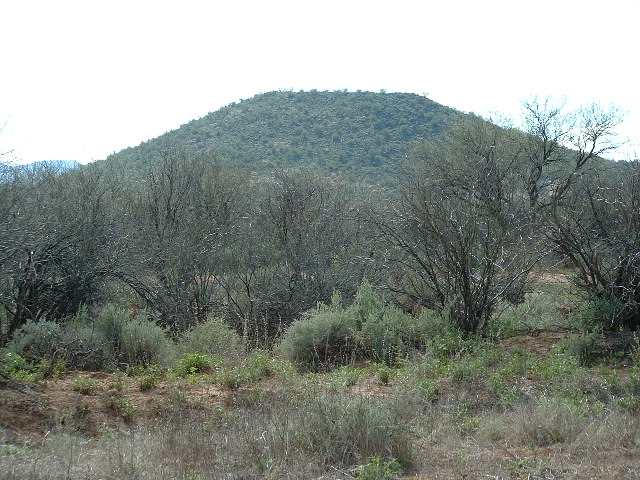
Arizona’s Mesquite Mountains are a beautiful range, and I find myself being drawn back to them time after time. In 2005, on February 4th to be exact, I made one of those trips. I drove out to the Tohono O’odham Indian Reservation in the south central part of the state, to Pisinimo (Pisin Mo’o in the O’odham language, which translates as “Buffalo Head”), then to Kom Vo (Kohm Wo’o, which translates as “Hackberry Pond”), and then by dirt roads to Vasquez well. I had been here on January 22nd with Andy and Mark to climb the high point of the range. This time, I headed northwest from the well along a road Dave Jurasevich and friends had used a few years earlier. It ended after about a mile and I parked in an open area. Here is the view from my truck. The peak I wanted to climb is the pointed one on the skyline in the center of the photo.
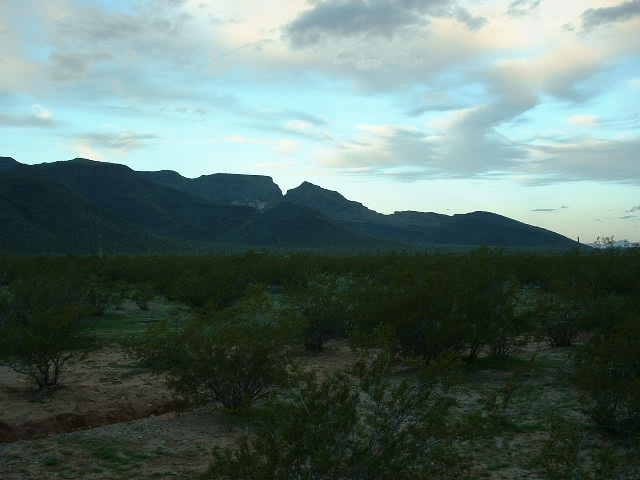
An early morning look west to Peak 3268
It was mostly overcast, therefore comfortable for my 3-mile walk across the desert in a westerly direction. It was very enjoyable, everything was so green from the winter rains. I had come here today to climb Peak 3268, which sits at the northeastern corner of the central part of the range. When I reached the base of the peak, I found that the climb itself was Class 2-3, with plenty of cliff bands, which could be either climbed or avoided (for the most part) depending on how challenging a climb you wanted. It went without incident and I was on the summit about two hours after I had left my truck. The views were amazing. Here’s one looking southwest over to Point 3629, which is about 3,000 feet away and about 400 feet higher.
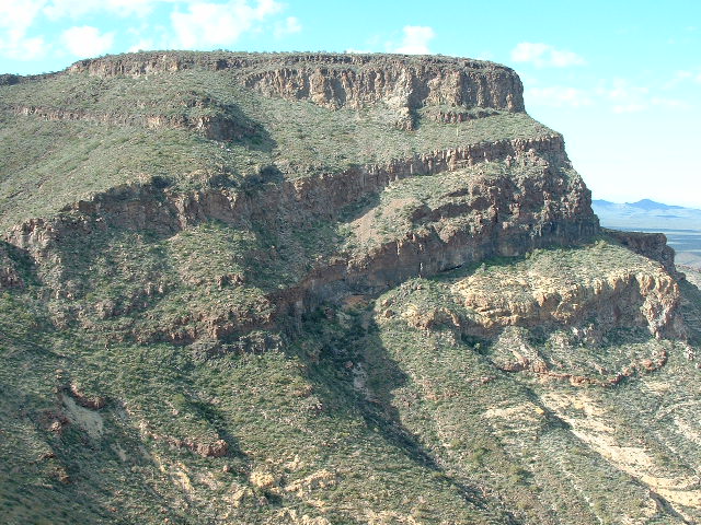
Looking over to Point 3629
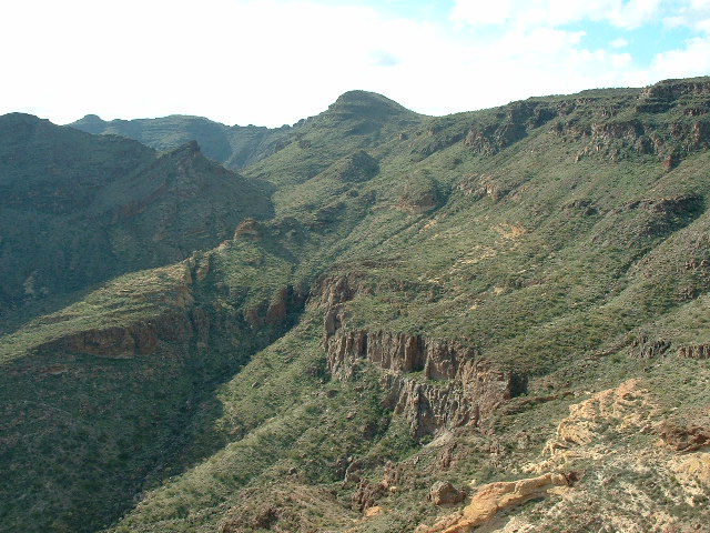
There was no sign of any previous visit by anyone, so I left a register and built a rock cairn to protect it. The views from the summit were terrific and I took a bunch of photos. Here is a view north to Chupan Mountain (which, although I didn’t yet know it, I would climb with Dave Jurasevich six weeks later).
Looking north to Chupan Mountain
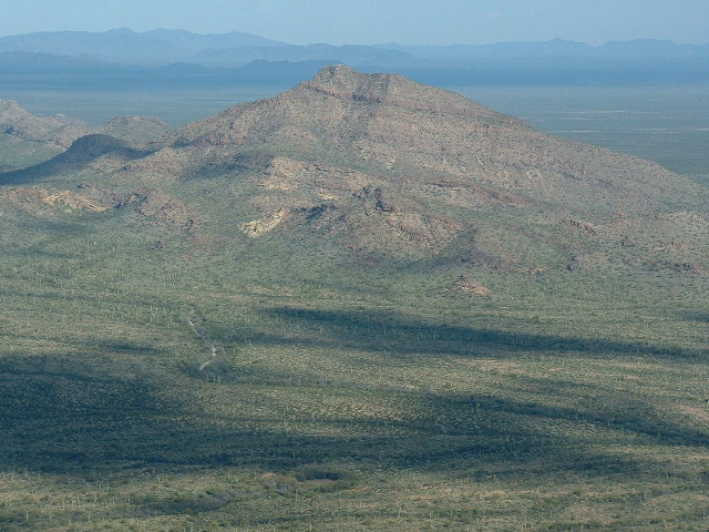
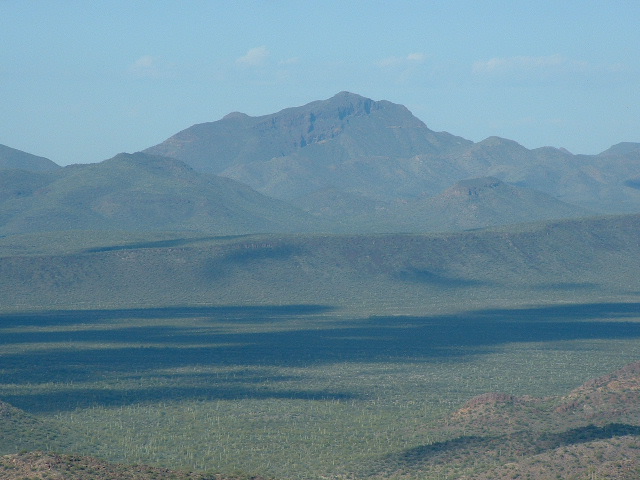
And here’s a view south to Mesquite Benchmark, elevation 3,789′, the range high point. It’s near the far left, the flat-topped bit on the distant skyline way in the back.
Looking south to the range high point.
Here’s one more, a telephoto view of Diaz Peak 13 miles distant.
Looking at the east side of Diaz Peak
Here’s one more good one – a view to the far north end of the Ajo Range. The air is a bit hazy, but what you’re looking at are two peaks that are well-known and important to several of us climbers in this part of the world. On the left is the very steep Montezuma’s Head (known as I’itoi Mo’o in the O’odham language), a challenging technical rock climb; on the right and much higher is a Class 4 climb we informally refer to as Montezuma Peak, at 4,088′ one of the higher peaks in the area. I’itoi Mo’o is within Organ Pipe Cactus National Monument, and 4088 is on its border.
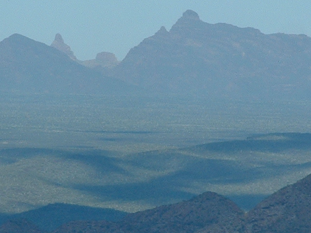
The north end of the Ajo Range.
I could have sat up there soaking up those million-dollar views forever. That’s one of the reasons I climb – you can’t buy those views, but I get them for free every time I’m sitting on a mountain top. It was time to go, like it or not – I descended the steep east side of the peak and reached the lush valley floor below. There are a great many organ-pipe cacti growing in the Mesquite Mountains and this valley certainly had its share.
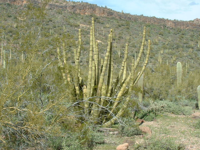
A mature organ-pipe cactus
Once down on the floor of the Kom Vo Valley (Kohm Wo’o Wo’oshani, in the O’odham language, which means “Hackberry Valley”). I heard a noise of hoofs clattering across a talus slope and looked up to see a beautiful donkey on the slopes above me. It was a reddish-brown color with white markings, and it looked very healthy. It shares the valley with several cattle which I saw there. I’m guessing that it is wild. I can’t imagine that it would ever return to any rancher living in the area. For that matter, I can’t imagine why any of the cattle would either. It seems to me that humans do so many things to annoy cattle that they’d just go on living out there on their own forever. I mean, think about it: a male calf faces the following fun things done to it by humans – have a logo branded permanently into its skin with a red-hot iron; get injected with needles; have a tag crimped into its ear; have its testicles cut off; and last but not least, get shipped away and killed so it can be eaten. Ouch! A losing proposition for the cattle. No wonder they are so afraid of humans. Even the huge bulls that I meet out in the desert run away as fast as they can when they see a human – I think they’d do the same even if confronted by a small child. Ah, well, I digress. Here’s a full daylight view of Peak 3268, now that I was done with it. It’s the pointed one, remember?
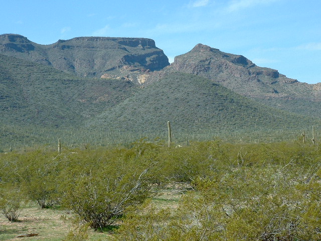
Looking back west to Peak 3268
The walk across the desert floor back to the truck was uneventful. I then drove to the village of Pisinimo. From there I drove as close as I could on obscure dirt roads to the summit called Schuk Cowlik (S-chuk Kawlik, which translates as “Black Hill”). It is about 4.5 miles southwest of the village. A short easy climb took me to the summit at 2,098 feet elevation. It was littered with trash from indocumentados.
The little bump called Schuk Cowlik which rises a mere 250 feet from the desert floor
I left a register and headed back to Pisinimo. En route, I passed a rustic corral and saw these horses inside it.
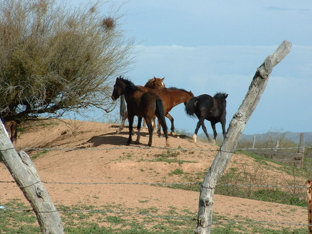
O’odham horses
I then tried to get to Llano Benchmark but couldn’t even get near it by approaching from the east. The road just vanished in the flat, featureless desert. I will try another time from AZ Highway 86 to the north. I did eventually reach it after much effort, but that’s part of another story. So ended another great day in the Mesquite Mountains.
Please visit our Facebook page at: https://www.facebook.com/pages/Desert-Mountaineer/192730747542690