
Dennis and I had talked about climbing something interesting in the remote desert, so once we made up our minds, away we went. After a couple of hours on the freeway, we pulled in to the Air Force base that issues permits. Dennis sat through the safety video and filled out some paperwork, and 45 minutes later we headed out again, permit in hand (I already had mine). Another hour and a half of driving, and we parked at the end of a dirt road out in the middle of nowhere. To minimize the chance of Bad Guys messing with the truck or with our stuff, we bagged up everything we couldn’t afford to lose and hid it in the hills, then disabled the truck.
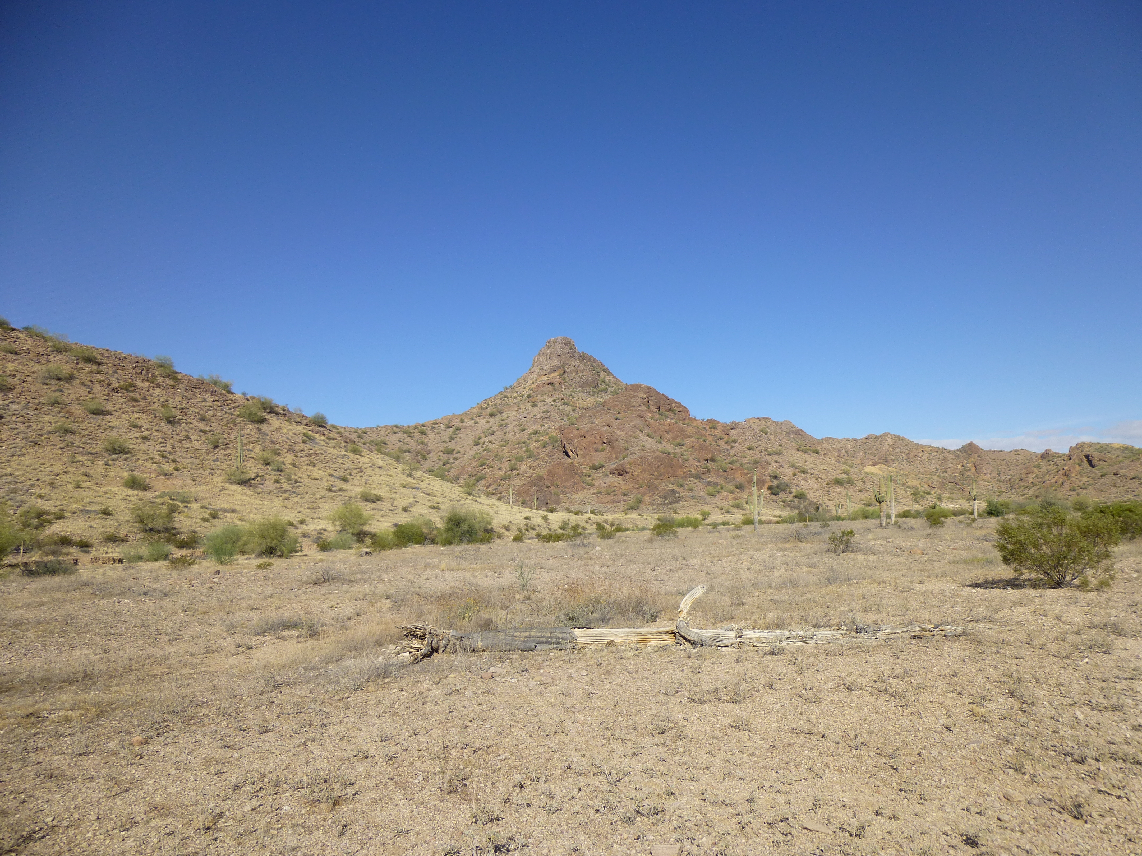
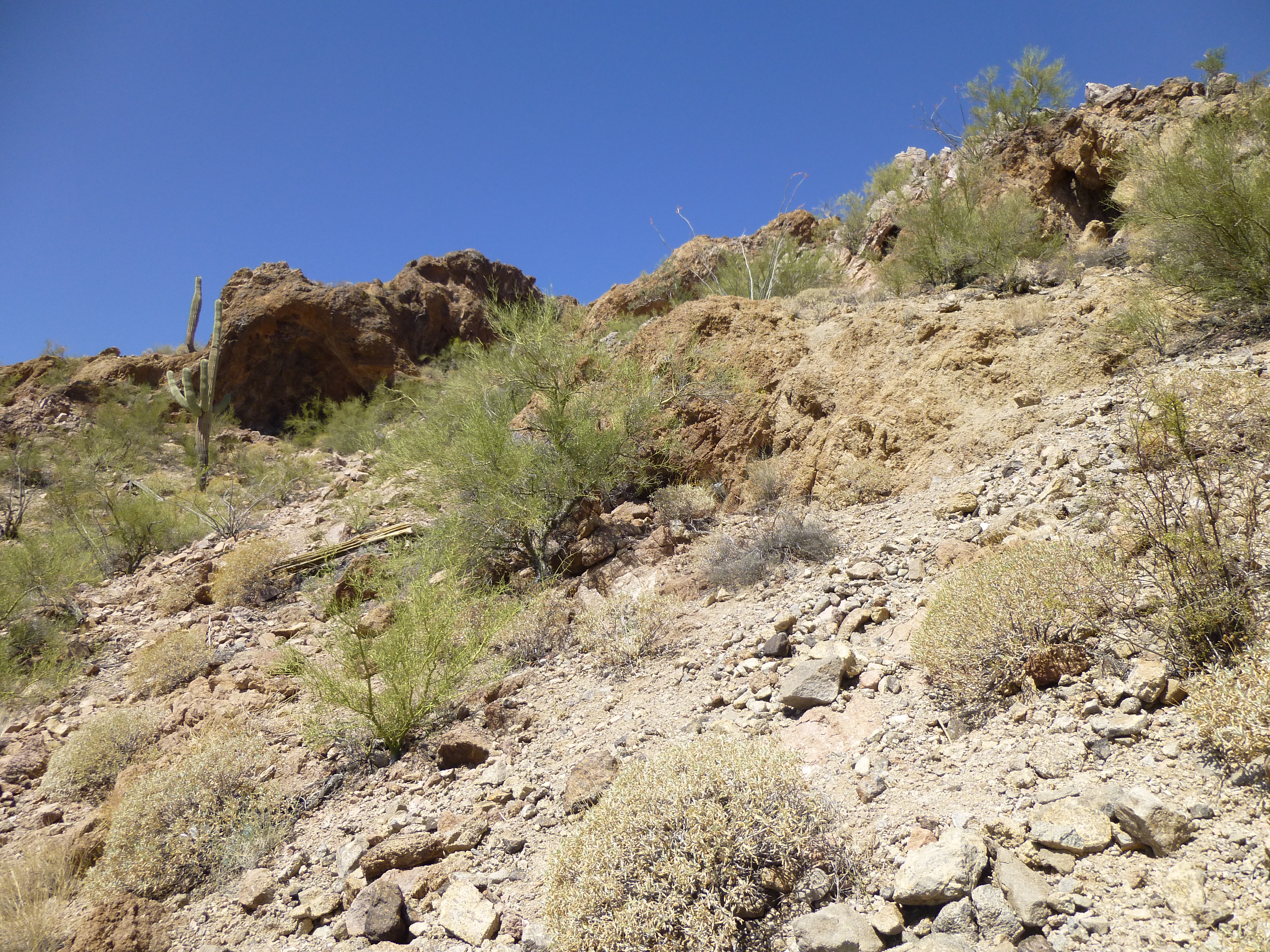
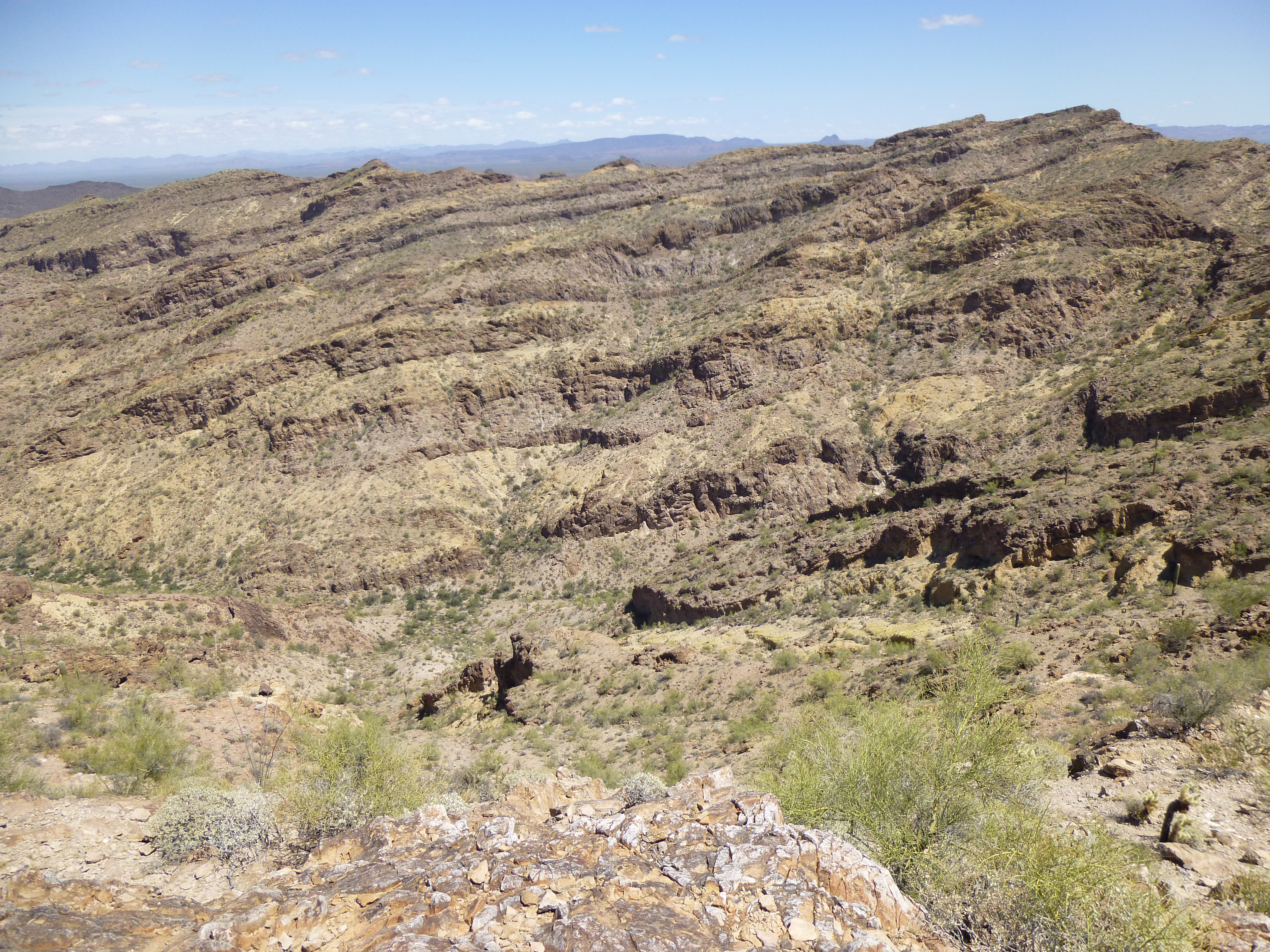
Desert scenery
By the time we set out on foot, it was already 9:15 AM. Our route took us along a known smuggling route, a well-worn footpath which climbed steadily upwards toward the head of the valley. There was plenty of trash along the route, cast-offs from the many who had been there before us. Some of what we found shows that, even in this harshest of places, proper dental hygiene was important to them.
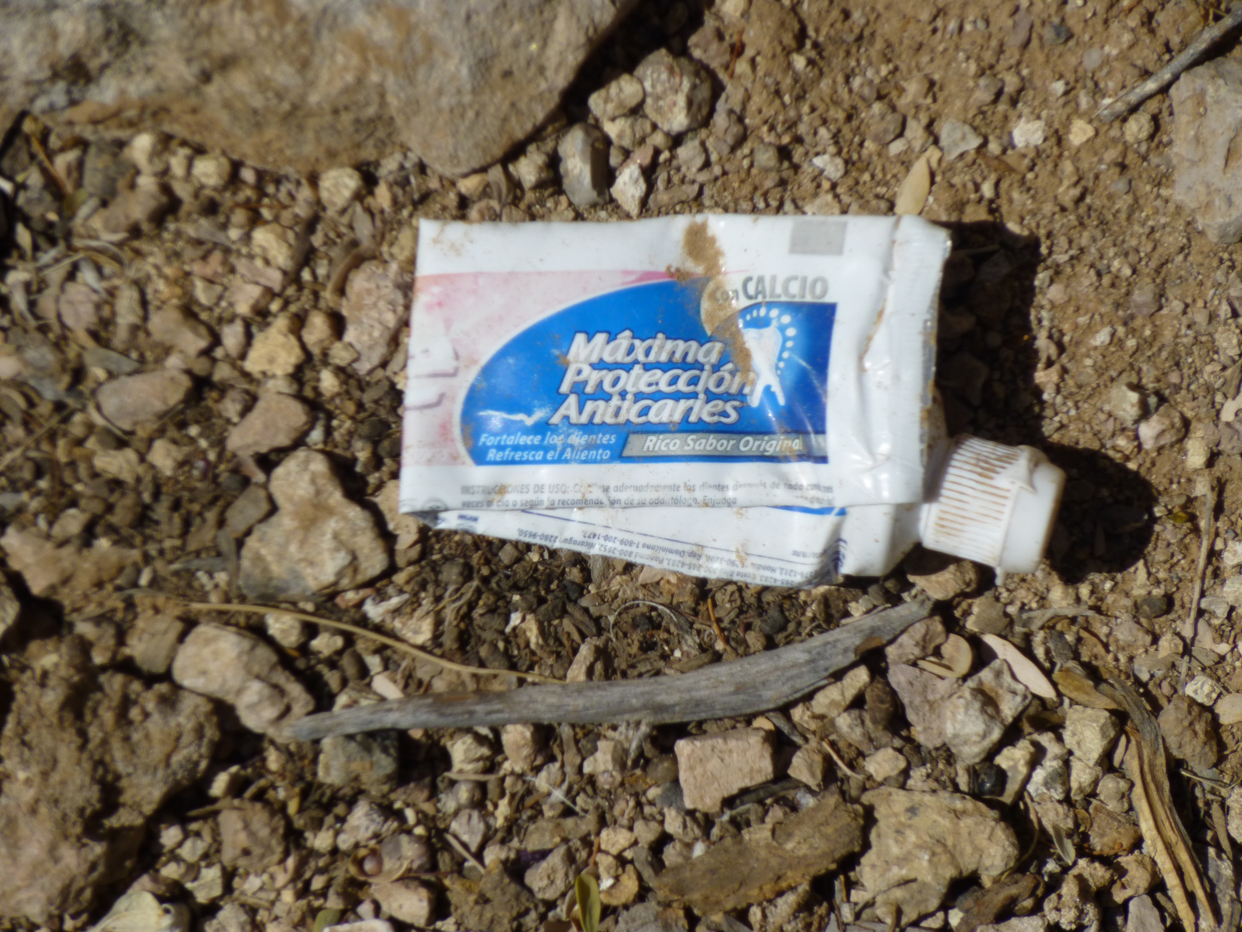
Mexican toothpaste tube
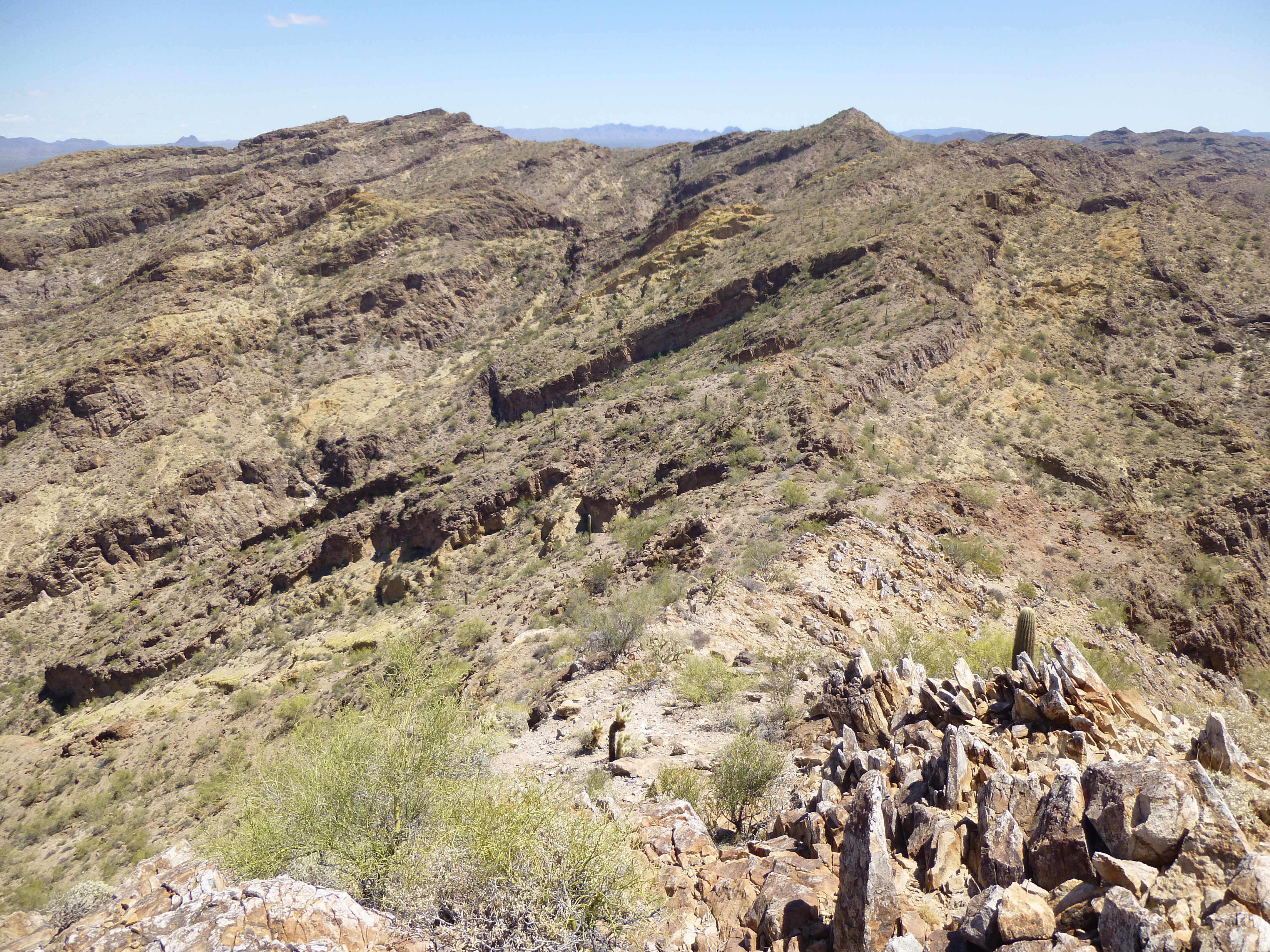
After a couple of miles, we reached a saddle, then doubled back across the hillside. I had climbed a peak here not three weeks earlier, but today we were heading up by a bit easier route.
Looking back across the hillside, with the saddle on the right
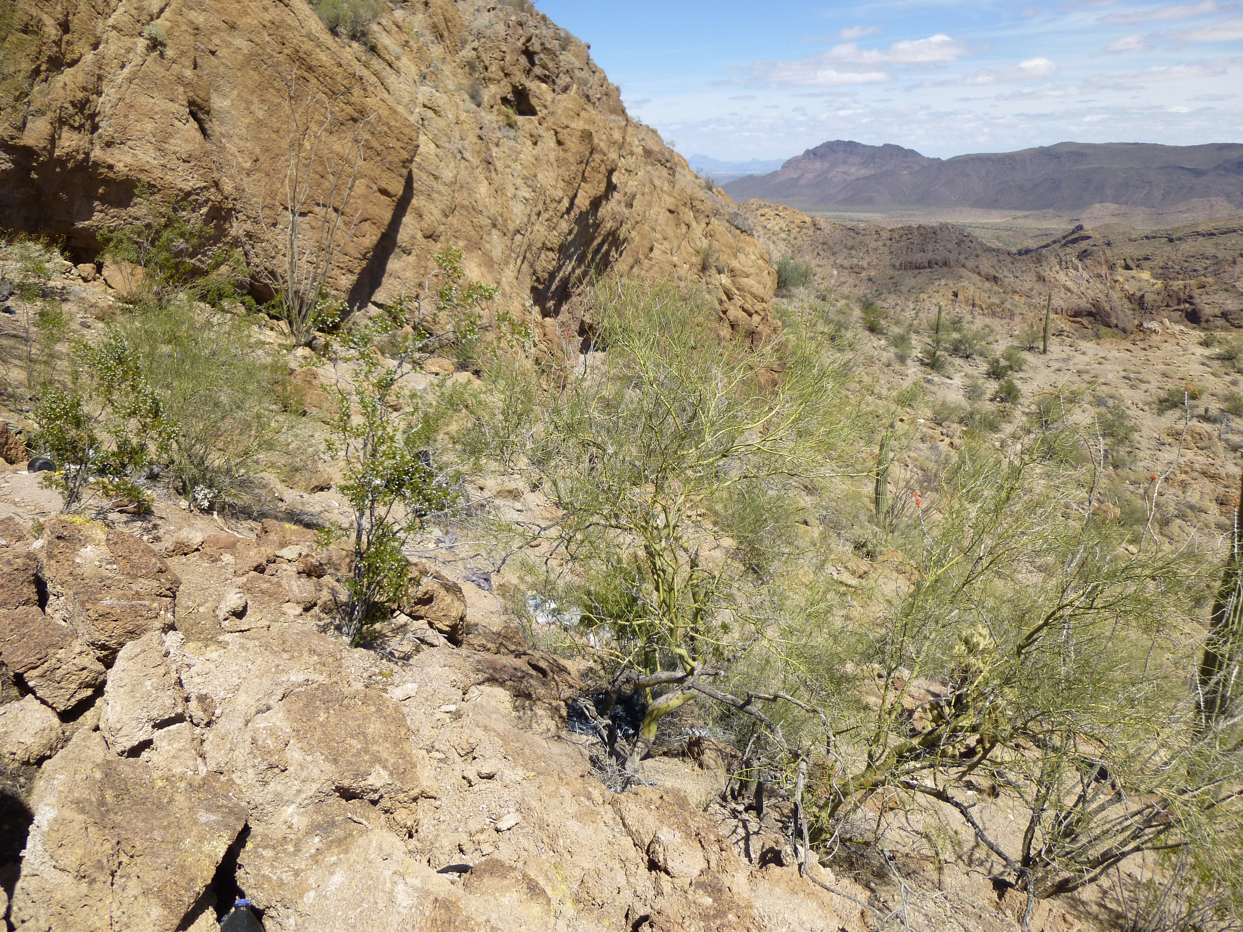
We crossed over a rocky rib, past piles of trash left by Bad Guys as they had camped there.
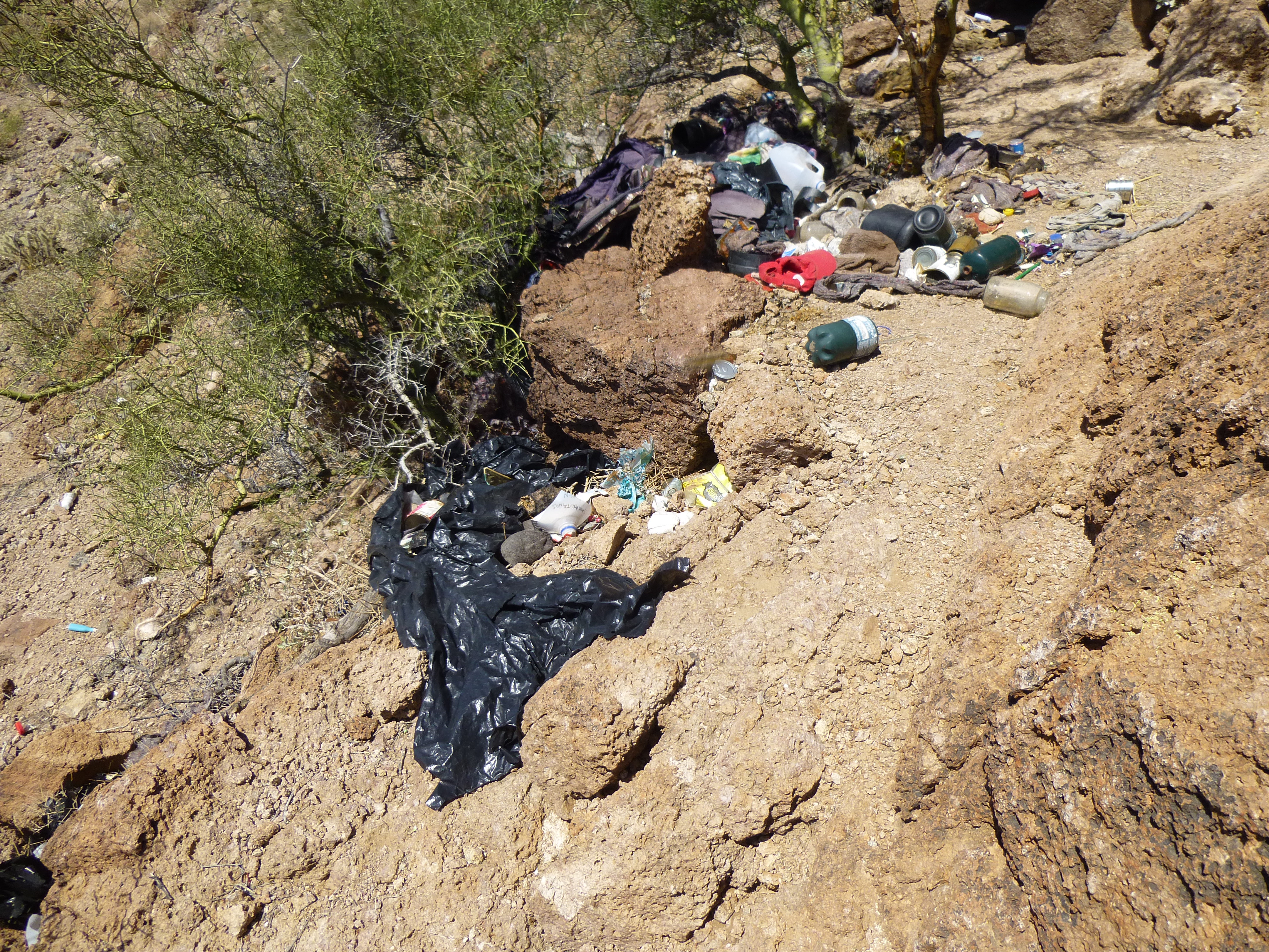
Basura
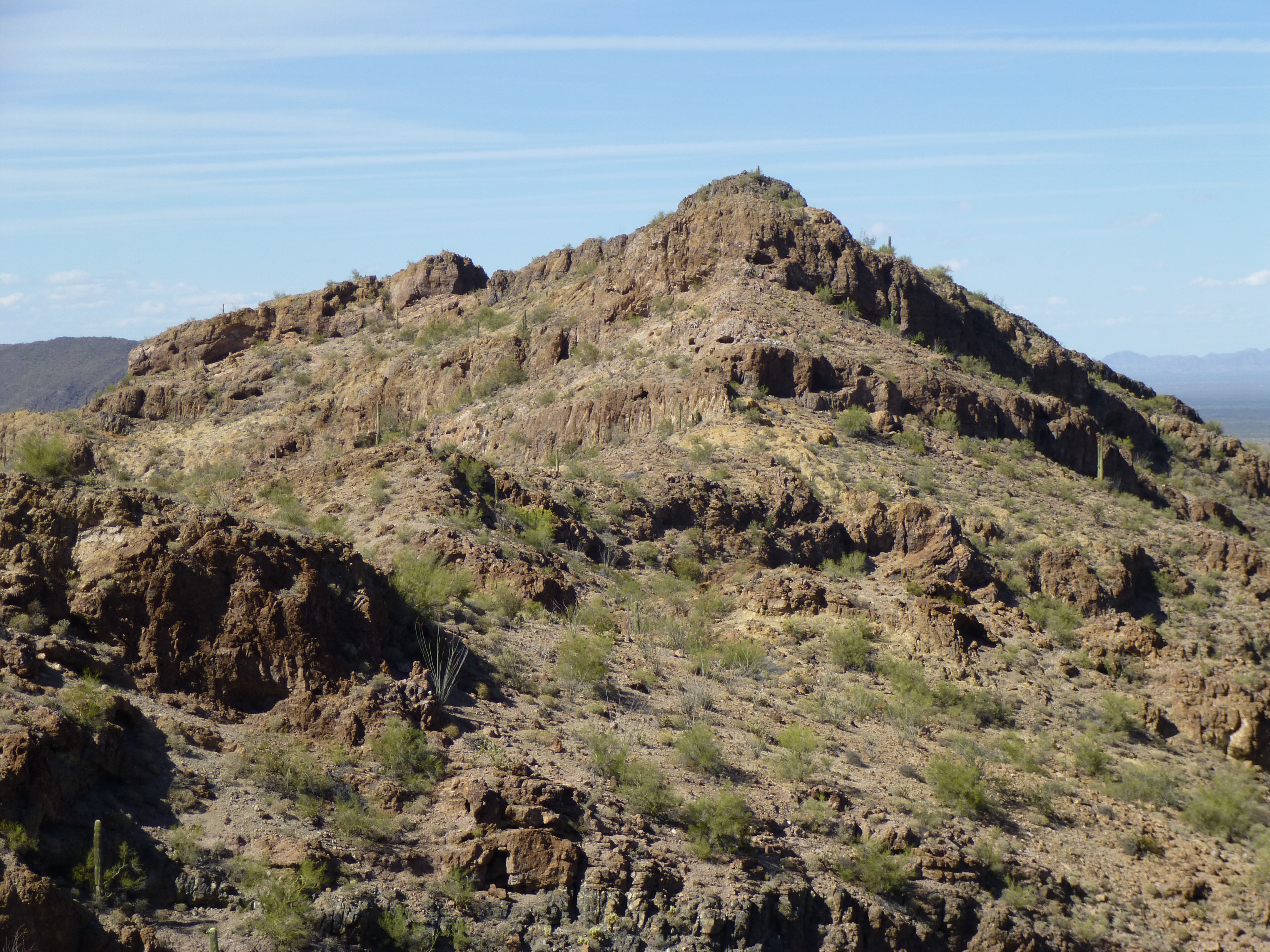
Once over the rib, we had a good view up the steep, loose slope to the summit, which is on top of the right-hand-side of the dark brown bump just left of center skyline.
The summit of Peak 2451
On top of Peak 2451, we signed in to the register and enjoyed the view. From this vantage point, we could see all the way over to our next peak. Our idea today (okay, in all fairness my idea, since Dennis had kindly agreed to go along with whatever cockamamie scheme I had come up with) was to drop back down from this peak to the saddle, then follow a series of ridges which would keep us up high until we reached the other peak. Here’s a view – the red arrow shows the other peak, the dark striped one.
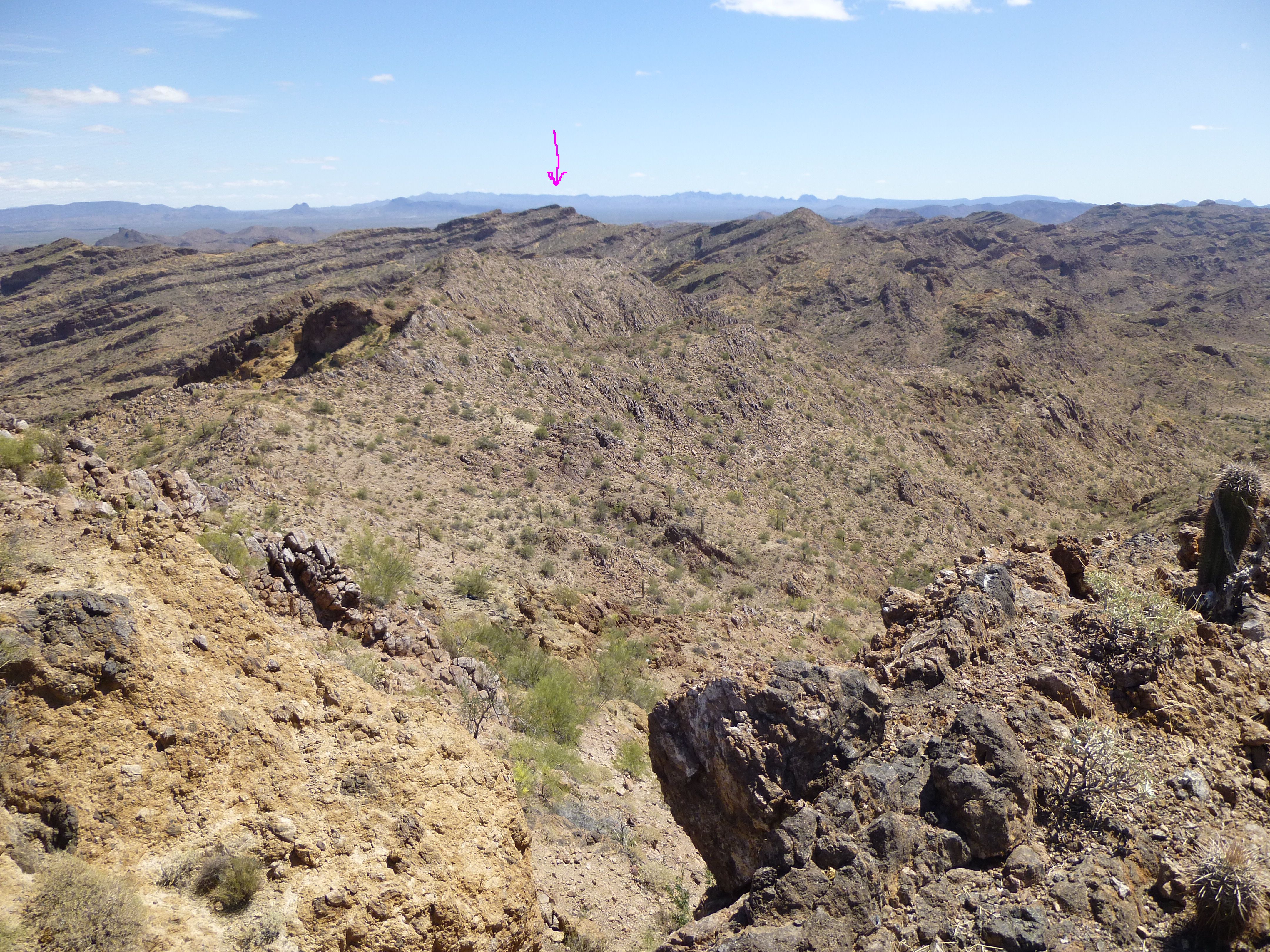
A view all the way over to Peak 2430
The tricky thing about committing to a long ridge traverse like this, to which any mountaineer can attest, is that you can get yourself into a world of hurt out there anywhere along it. There are endless opportunities to get caught by a cliff that you can’t climb up or climb down – either of these can ruin your whole day, and if you’re not careful, your whole life. However, do it right and you can have an amazing time of it – it can be great fun, you just need to have the right attitude towards the whole thing.
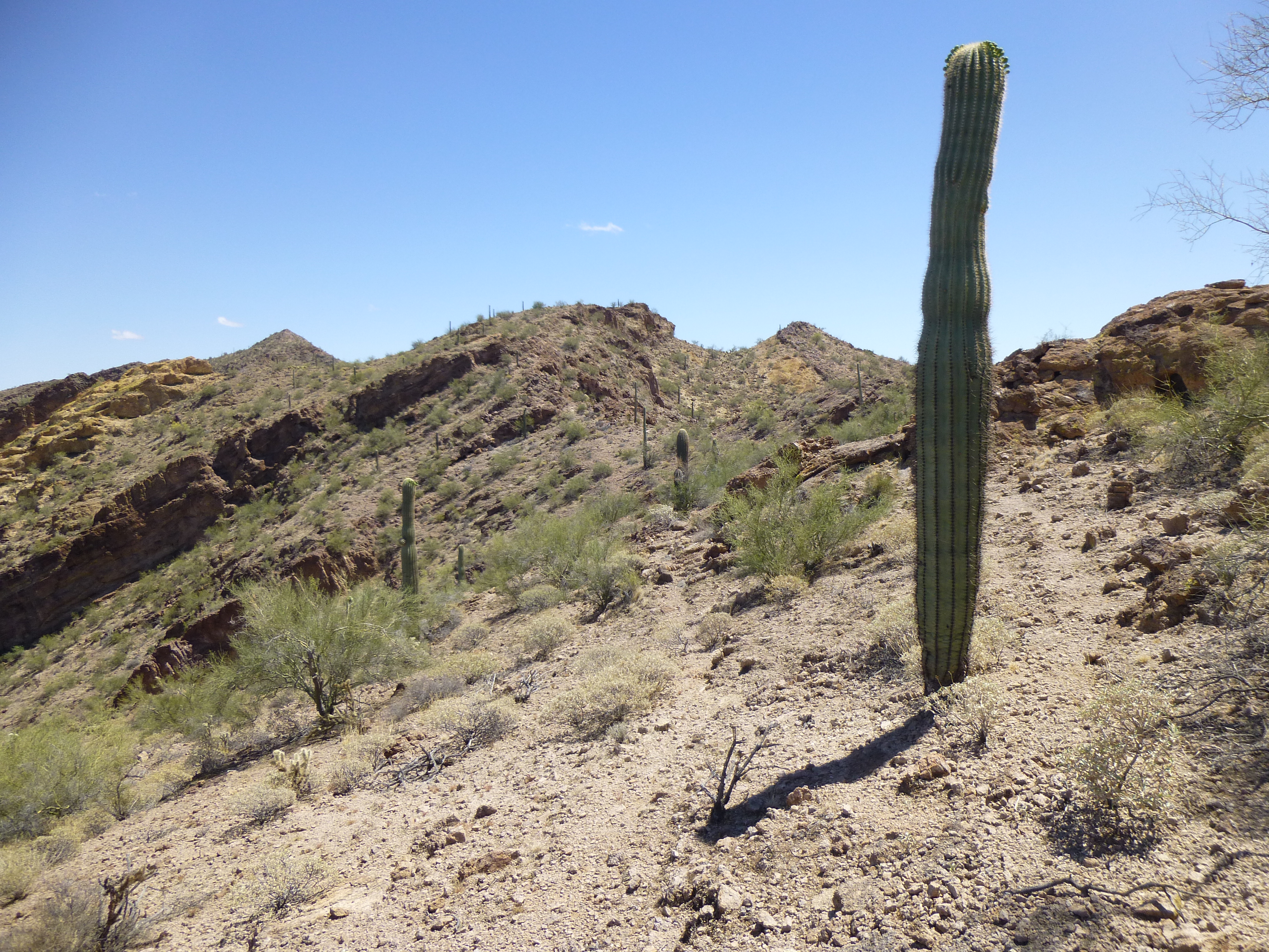
We were excited to get down to the saddle and get started. Our first bit of ridge looked plenty rocky, but nothing too hard. There were so many bumps – 10, 20, 30 feet high – that we lost count. Some of them you could go around, but most of them we just went up one side and down the other.
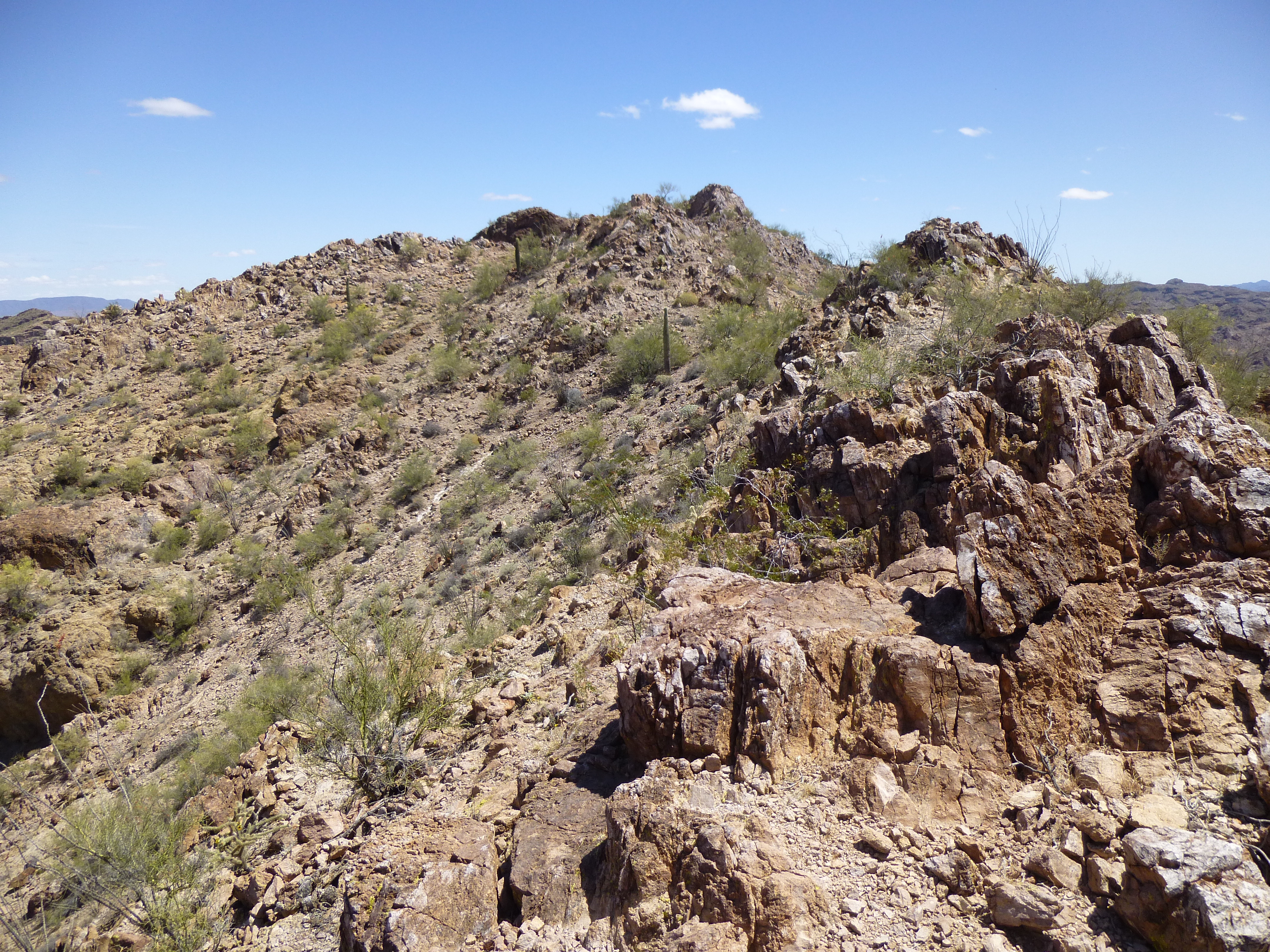
Starting along the ridge
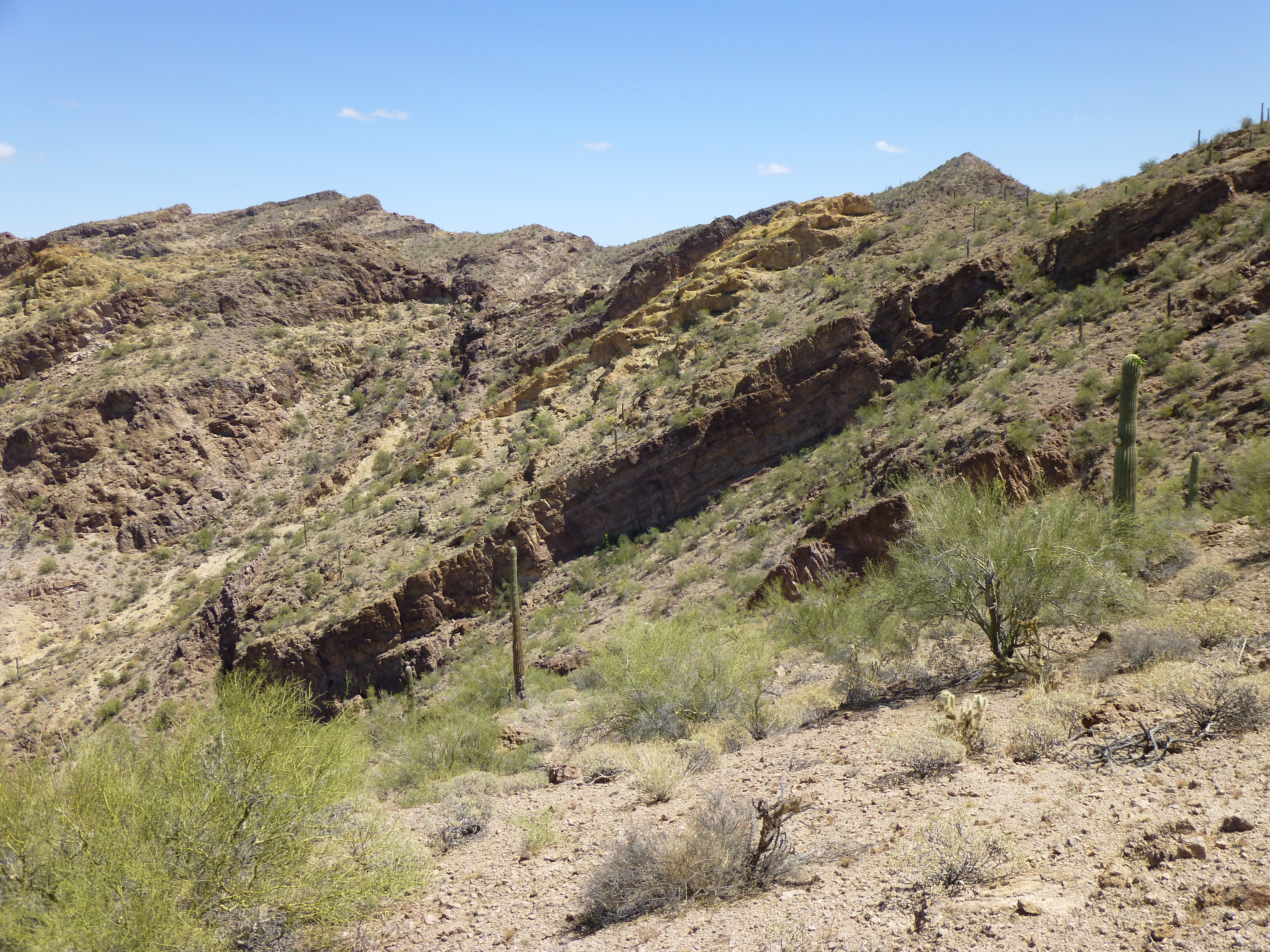
There was a lot of side-hilling, and sometimes we had to lose a fair chunk of elevation to avoid the nasty bits, like here.
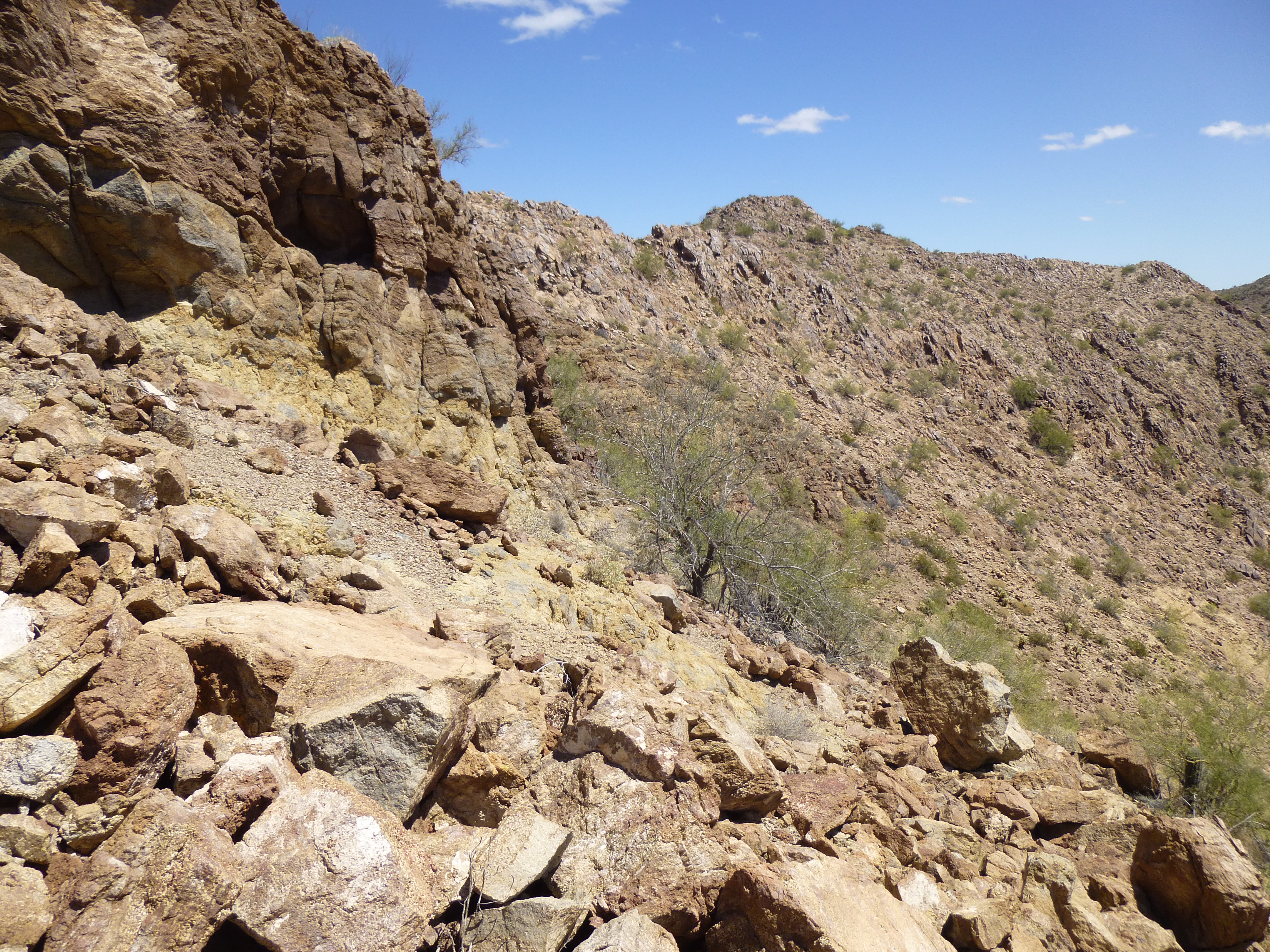
Sidehilling
From the ridgetop, we had great views in every direction, including this one to the north where the mountain across the valley looked like a gigantic layer-cake.
Looking north
We crossed over a major bump called Point 2361, then dropped down again to enjoy a nice stretch of easy ground. Here’s what the next part of the ridge looked like.
Looking out towards Point 2245
The next feature in our path was Point 2245, which can be seen in this next photo, right in the middle.
Looking ahead to Point 2245
It was a warm day, but we had a bit of a breeze a lot of the time, which helped. In this next photo, you can see a cliff barring our path – it didn’t take us long to get through it. You can also see a pointed peak on the right in the background on the skyline – we were shooting for that, a next major bump along the way, which interpolated to 2420′ elevation.
A look ahead to 2420′
By the time we reached 2420, we were starting to feel it, and were slowing down. One last push now, to reach our final objective, and there it was to the north along a different ridge. There were several bands of cliffs in the way, and I thought I saw a way through them all, but it would take a lot of zig-zagging to get there.
A look north to Peak 2430
It took a little more doing than we thought, and in the end we could only find one narrow Class 3 gap up through one of the last cliffs. That done, a bit more climbing and it was over – there we stood on the summit of Peak 2430 at 2:20 PM.
It was a bit of a surprise to find a large cairn on the summit, no doubt left by surveyors back in the 1930s, as evidenced by a bit of wire and wood left there. It was more than 3 feet tall, and we placed a register inside it. In this photo, you can see, many miles away, Lookout Mountain directly over the top of the cairn.
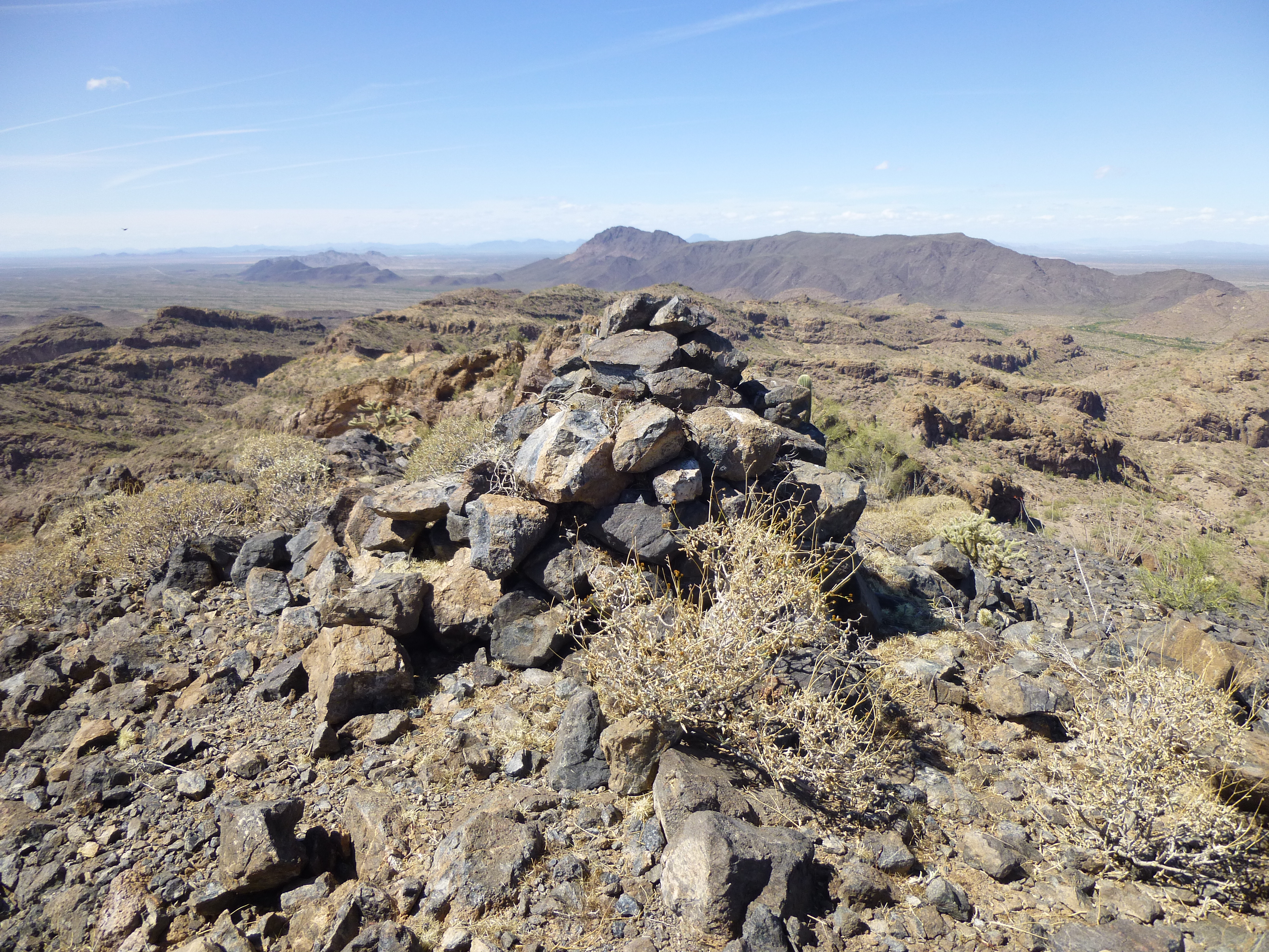
The summit cairn, with Lookout Mountain miles to the north
I walked down to the base of the summit bump to check for an easier way down to avoid the cliffs (there was none), and had this look back up. If you zoom in, you can see a green palo verde tree on the top, and just to the left of it are Dennis’s legs – he was resting.
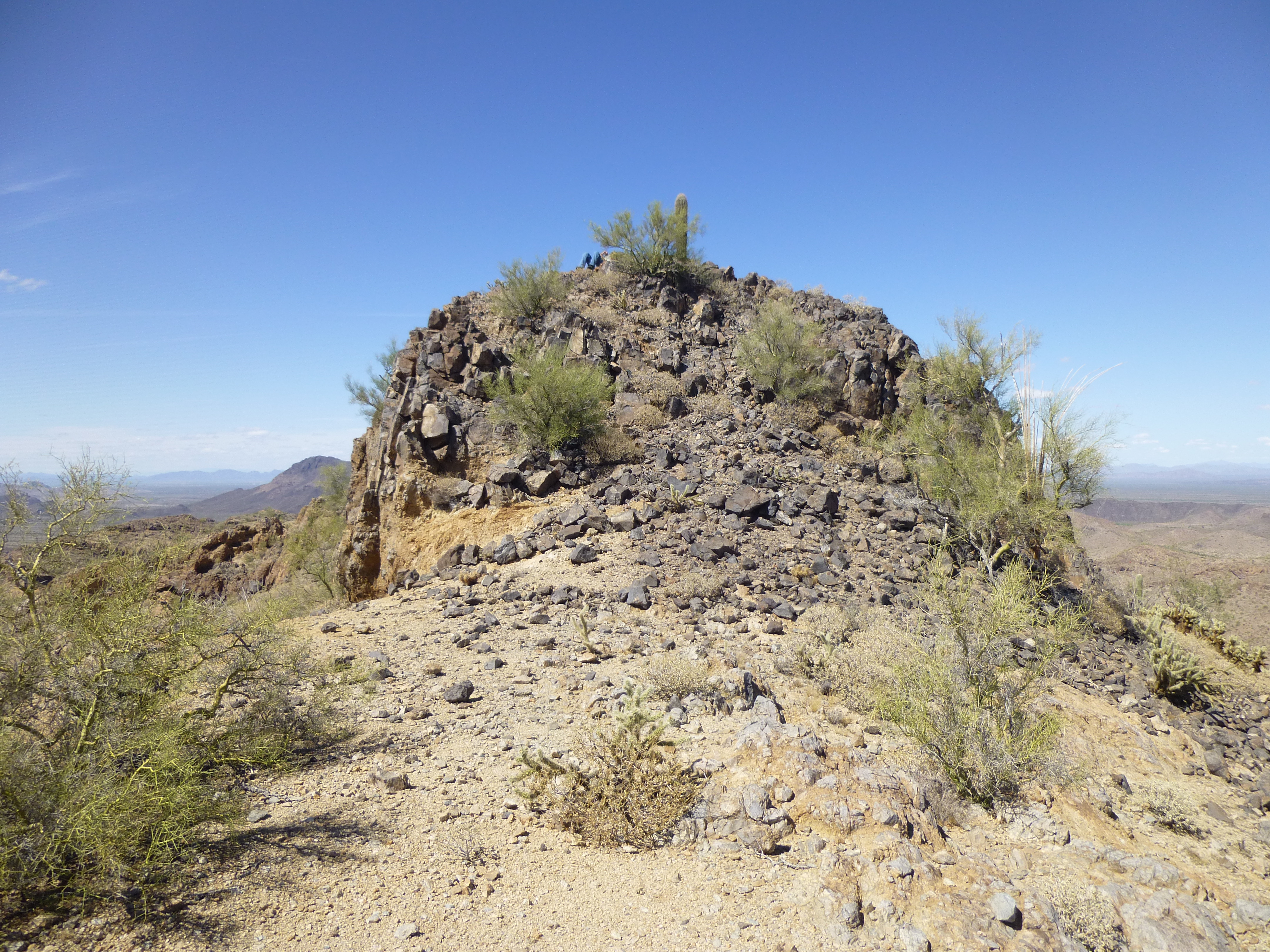
The summit, with legs
After a bit of a rest, we made our way down through the cliffs and headed south along the ridge back over to 2420. Now we were on the home stretch. The southeast ridge of 2420 was the next part of our journey, and it seemed pretty straightforward. Hmmm, don’t count your chickens – a 50-foot cliff blocked our descent. It forced us to drop to the north and lose another 200 vertical feet before we could double back and finally reach a saddle at 2,180 feet. Okay, that annoyance was behind us – the rest of the way had to be easier. I mean, hell’s bells, we could now look down and see the truck. Check out this next photo. Zoom way in, and you’ll see a dirt road in the valley below, just to the right of center. Follow it away from you, and soon you’ll come to a clearing, where you’ll find the truck parked over on the right – see it?
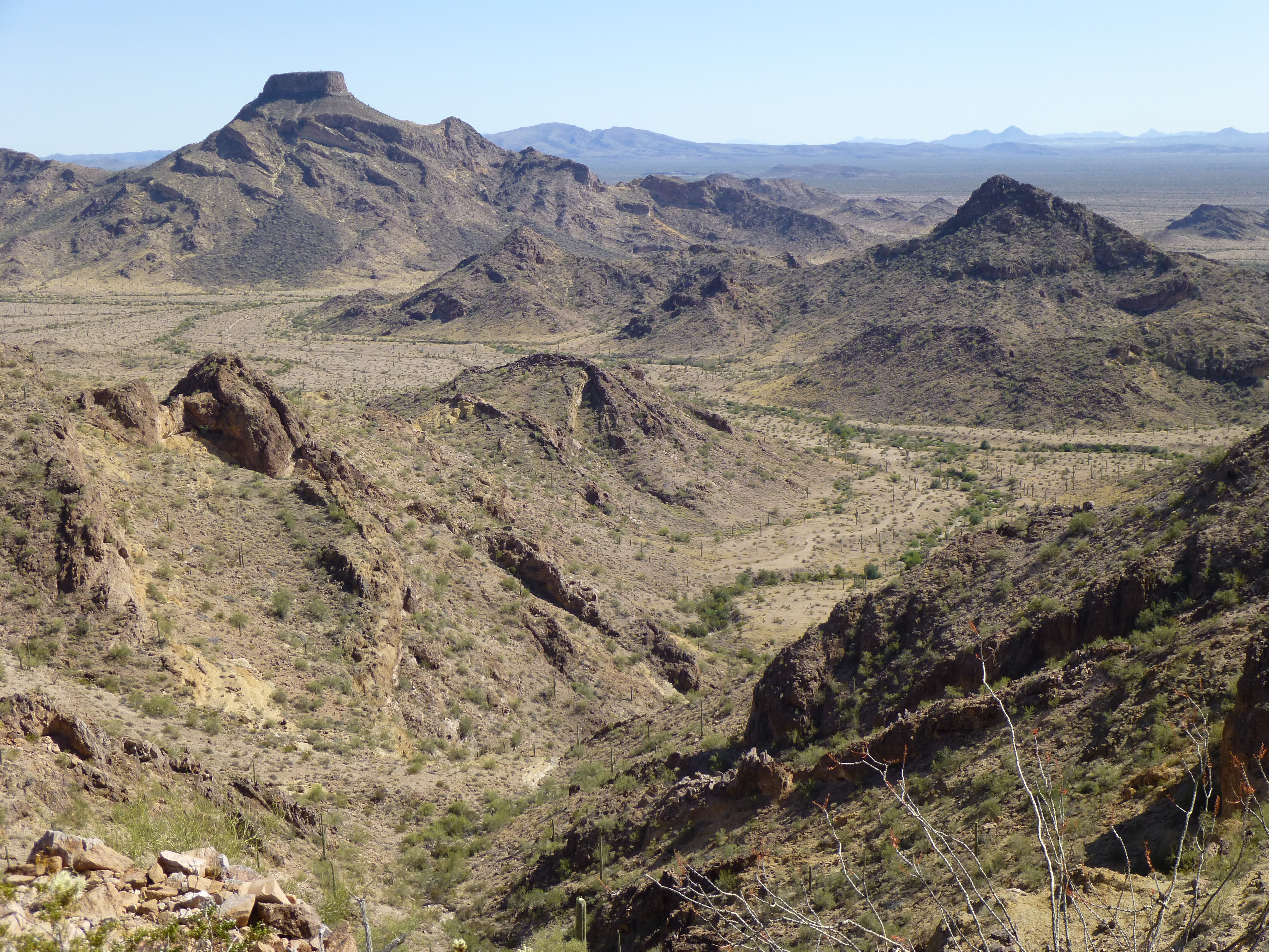
The final stretch, looking down to the truck.
The truck was only 2,900 feet away from where we were standing on the saddle, and barely 500 feet below – we had it made! As we looked down into the valley, it appeared that we could see a path free of issues all the way down. Okay, let’s go.
Down we started – it was steep, loose and slippery, requiring caution, more so because we were tired, and the heat was making us a bit punchy. Things were going swimmingly as we dropped into the bowl, until we reached a real whopper of a cliff that ran all the way around the bowl – shit, we hadn’t seen this from above. Our only out was to climb up another steep slope, regaining a hundred feet and more, to arrive at a notch in yet another ridge. Dennis was having a hard time of it by now, going exponentially slower – he admitted he didn’t feel well, and had a “just shoot me now” look about him. Even so, he still had a good sense of humor, and joked about the situation.
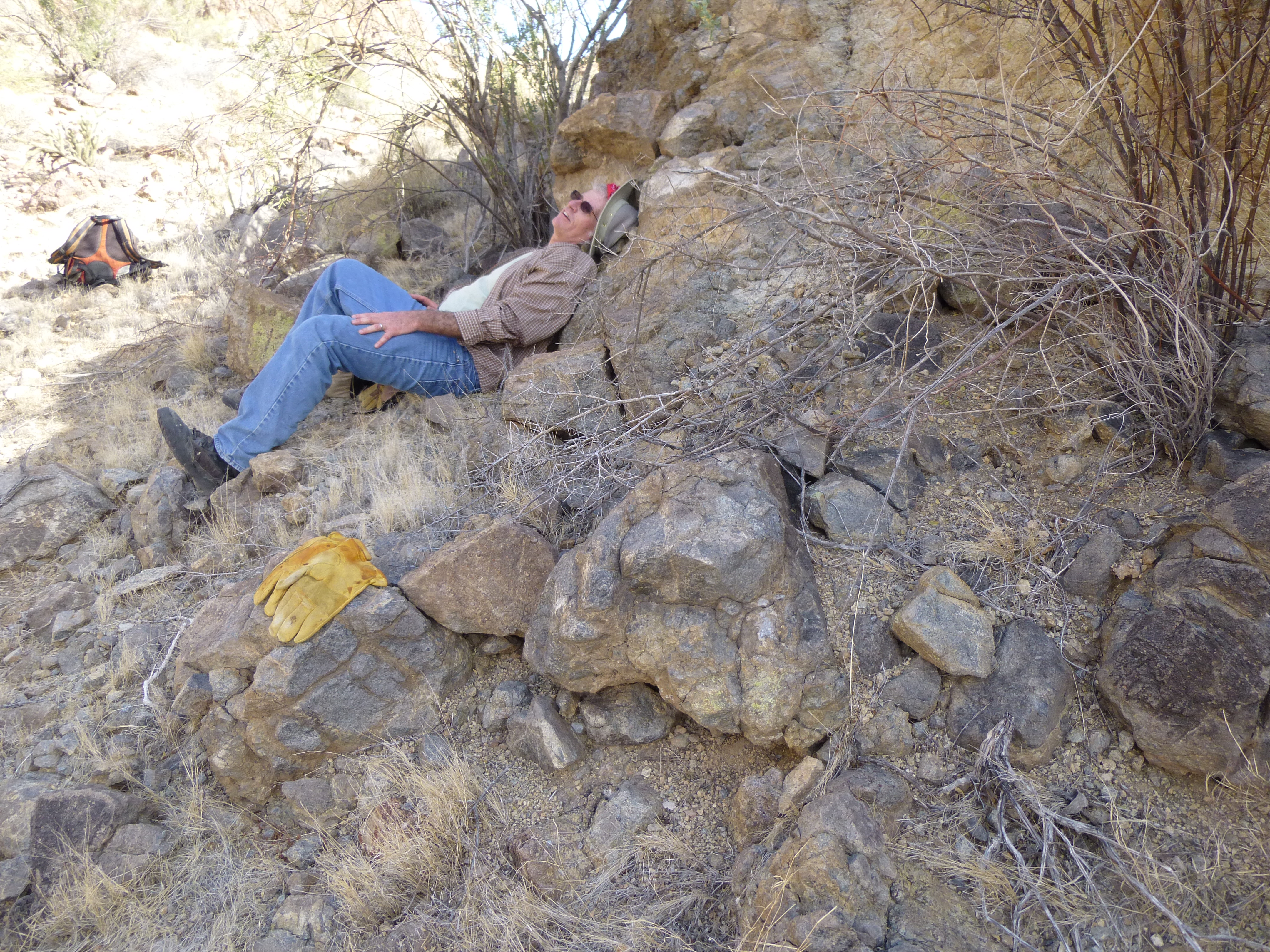
Dennis, one last break
After several minutes, I urged that we needed to continue – I had walked 50 feet up the hill to a notch for a view and still couldn’t see a clear path all the way down to the road. As we stood in the notch, looking down yet another steep, loose slope, it made us feel tired just wondering about what kind of crap still lay ahead. So, down we went, slowly and carefully, crossing two more gullies in the process, until, all done in, our boots finally met the road. From there, it was the work of a few minutes to reach the truck. All was as we had left it, after almost 8 hours on foot from the time we started. Our little adventure had covered 6.3 miles and 2,270 vertical feet. After a change of clothes and a ride in the air-conditioning, we felt right as rain. Good times!
Please visit our Facebook page at https://www.facebook.com/pages/Desert-Mountaineer/192730747542690