
As I sit and write this, it’s been about 8 years since I went to climb Maple Peak. I knew nothing about it, really, other than that it was on a list of 2,000-foot prominence peaks in Arizona. There are a total of 73 of those peaks, and Maple Peak was number 45 on the list ranked by amount of prominence. Friends said I was close to completing the list just by accident, and that it wouldn’t take much to finish off them all. Okay, I agreed, but there were probably still at least a dozen I’d have to do.
On May 20th of 2017, I left my home in Tucson and drove east on Interstate 10. Just past Willcox, I turned north and drove on US 191 to Safford, then east on 191 to a place known as Three Way, just a road junction, really. From there, on Highway 78 to the high country and into New Mexico. where 78 took me all the way to a junction with US 180. A turn north, and through the communities of Pleasanton and Glenwood to finally arrive at Alma, New Mexico (population 47). Google Maps says that this distance of 231 miles should take about 3 hours and 45 minutes to drive. It probably took me a bit longer, as I always drive below the speed limit, much to the annoyance of my passengers.
Coming into Alma, about 1/4 mile before the store (there’s only one, and it’s a real landmark), on the right was Cloudt Road. I was looking for that, because a hundred yards beyond that I turned left on to road C-017, right at Milepost 46 on the highway and quickly crossed the San Francisco River. Only a third of a mile on that took me to a short bit of road C-008, then I found myself on road C-004, which is the one I really wanted. I followed this road west for almost 2 miles, where I came to a junction with road C-003, known as Smoothing Iron Road. This road will be mentioned later on, but for now I ignored it, continuing west on road C-004. These C-roads are all US Forest Service Roads, as we are traveling in the Gila National Forest of New Mexico.
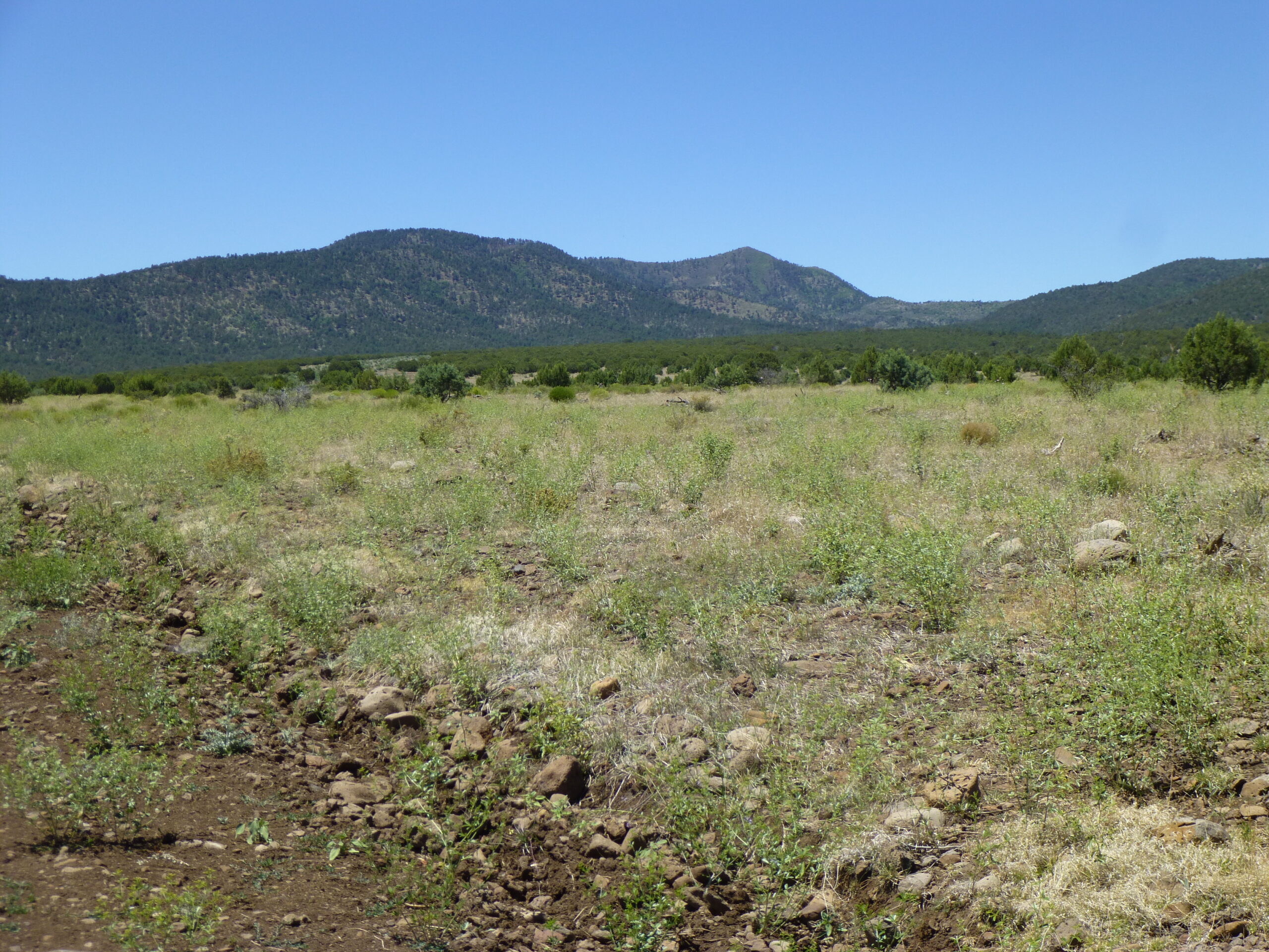
We soon climb out of Vigil Canyon and up on to Sunflower Mesa. Passing beneath some high-voltage power lines, we keep west on Sunflower Mesa Road. We are still in Catron County, New Mexico, but after about 12 miles driving on good road from Alma, we reach the Arizona state line. Here, we enter Greenlee County, Arizona and what’s called the Apache National Forest. If memory serves, there may have been a sign saying not to drive any further, but what the hell, it was a nice evening, there was no-one else around, and I kept driving. Where I entered Arizona, the elevation was 6,300 feet. I saw 6 deer while driving along Sunflower Mesa.
The road climbed steadily but slowly uphill through fairly open forest. I may have made it another mile and a half before parking at 6,870 feet – by then, it was getting pretty rough, and anyway I had found a nice spot to camp. It had taken me a total of 5 hours and 15 minutes of driving from home. I had driven a total of about 14 miles from Alma.
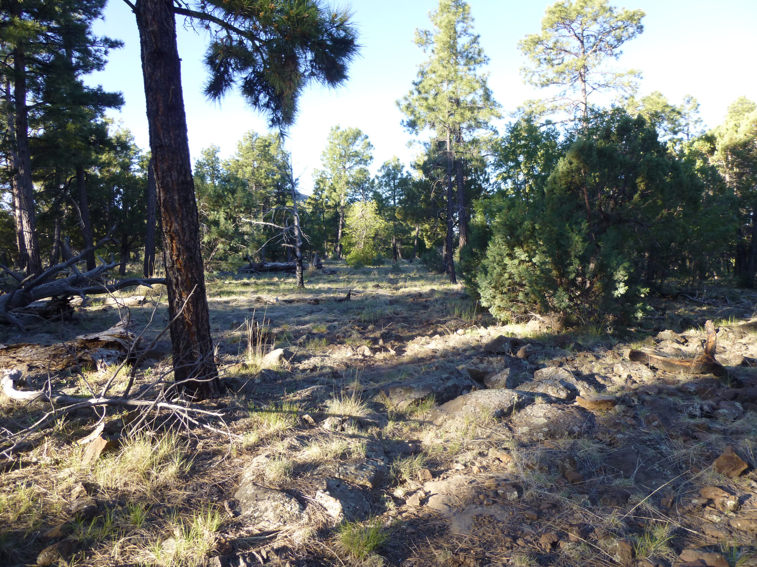
After a good night’s sleep, I set out on foot the next morning at 5:18. It was a perfect blue-sky day and an easy walk up the old road. At around 7,300 feet, a bit of a side road headed over to Anderson Tank downhill to the south. Here’s what the road looked like as I started out.
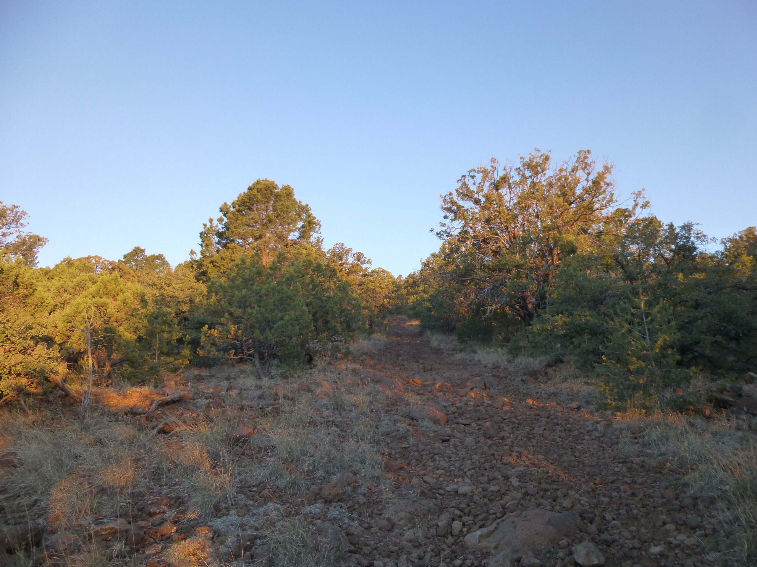
The old road.
The sun was coming up.
A view to the south of the road.
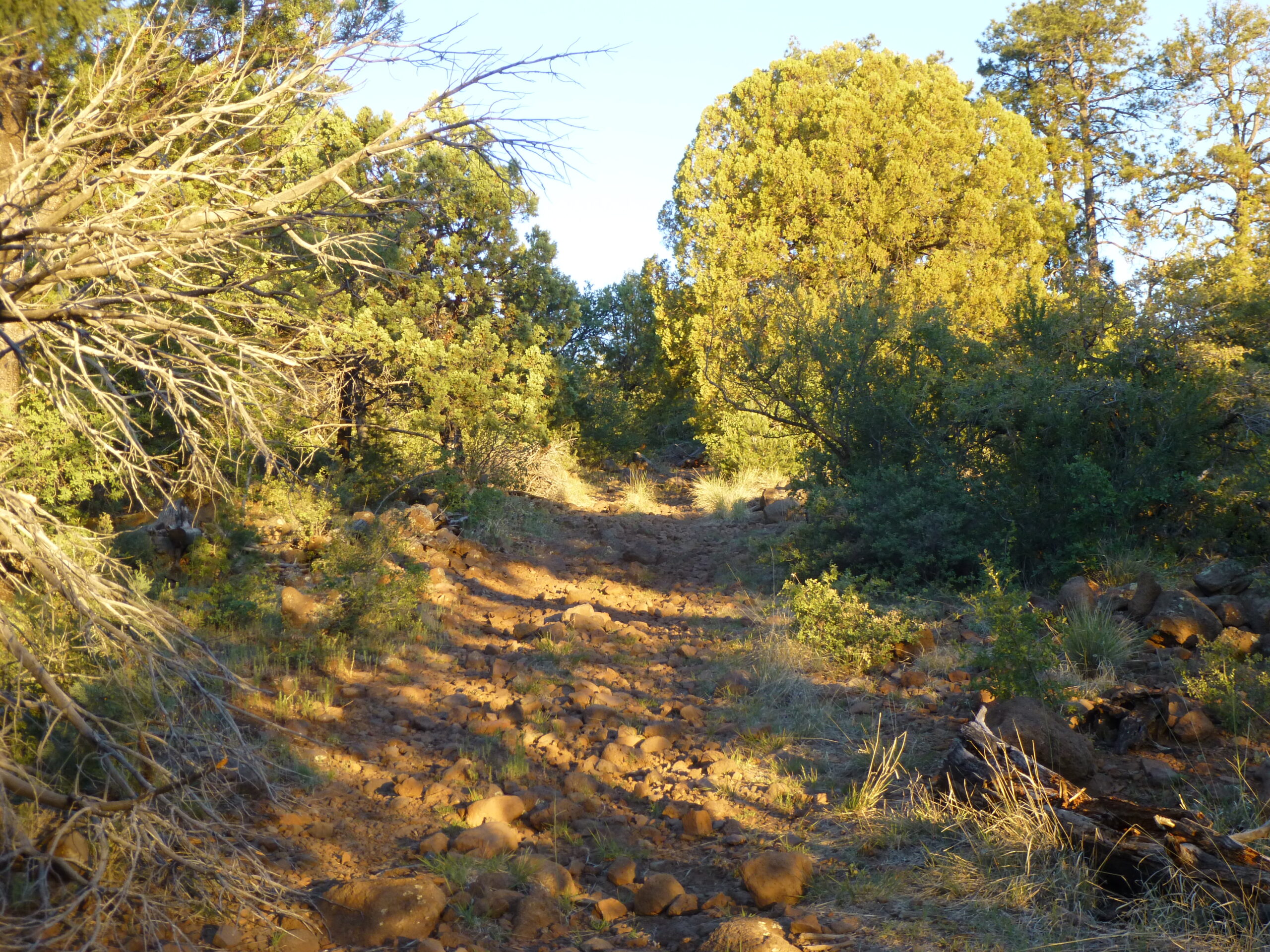
It promised to be a sunny day.
Nice open ground
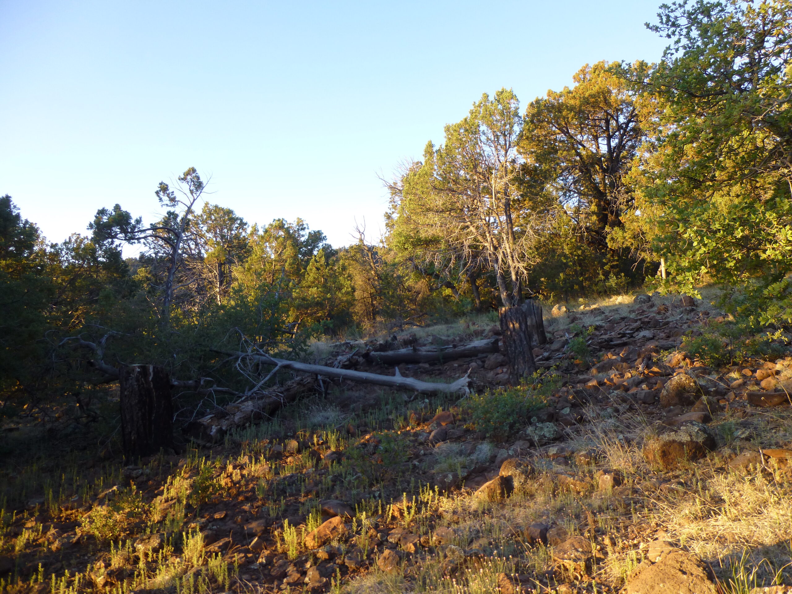
The old road was still pretty easy to follow. I saw 2 more deer along this stretch.
The old road.
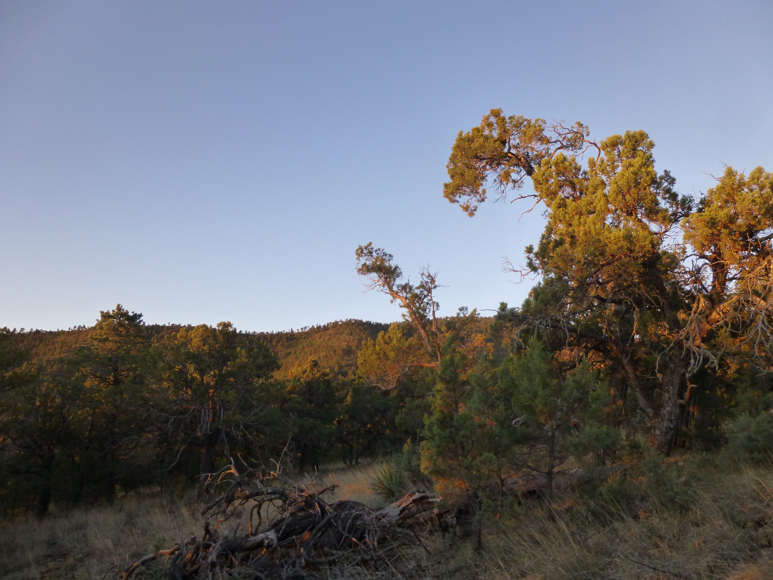
I had this excellent daybreak view to the north – that’s Whiterocks Mountain out there, elevation 8.827 feet and 11 miles away.
Whiterocks Mountain
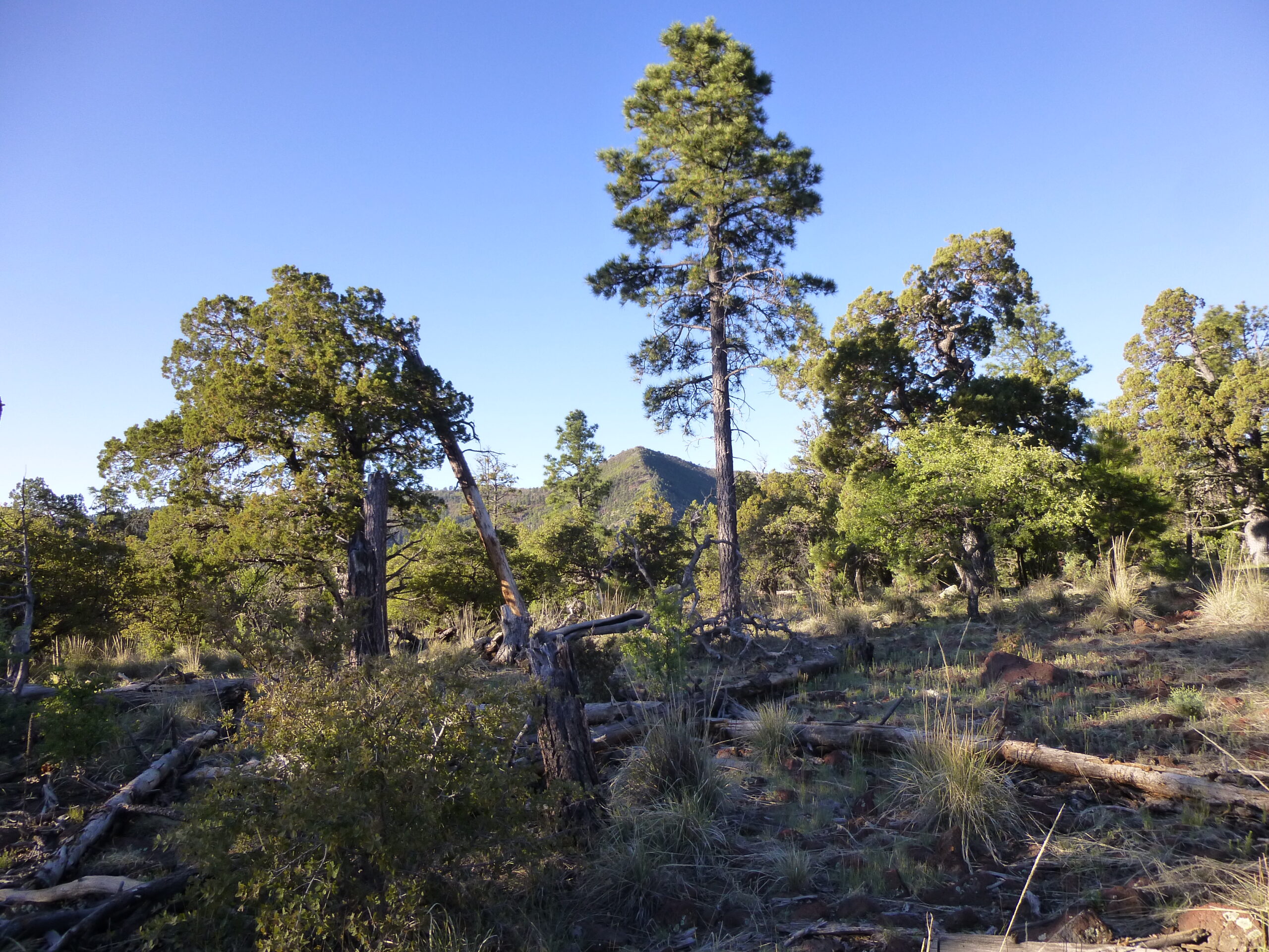
The old road deteriorated into a trail, easy to follow, and after an hour from camp, I arrived at a trail junction along the high ridge. This was nice, open, easy country, the kind of terrain where you could make good progress.
Nice and open
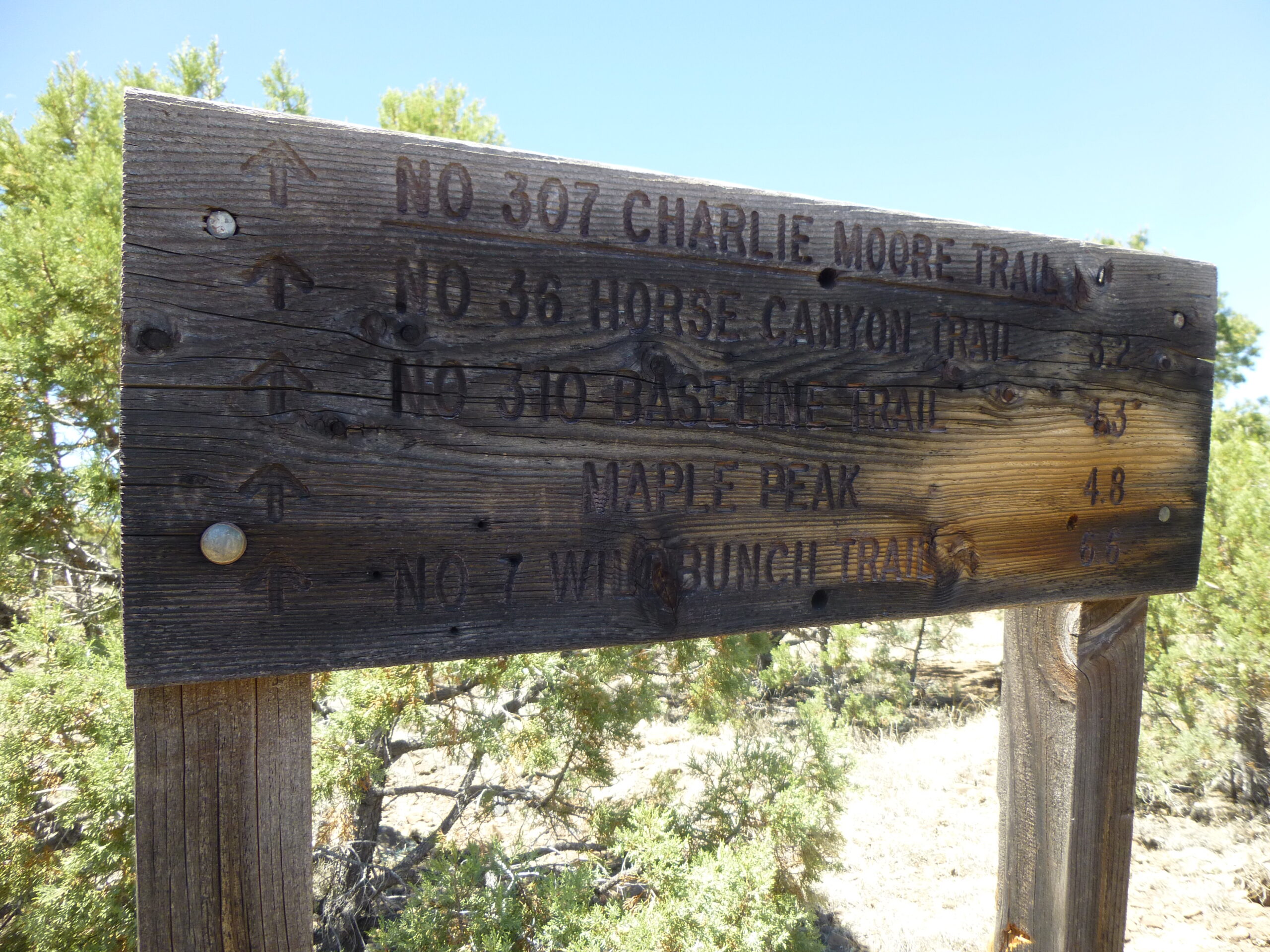
The junction I had reached was at 7,600 feet. Signs were posted on trees – this was obviously an important meeting-place.
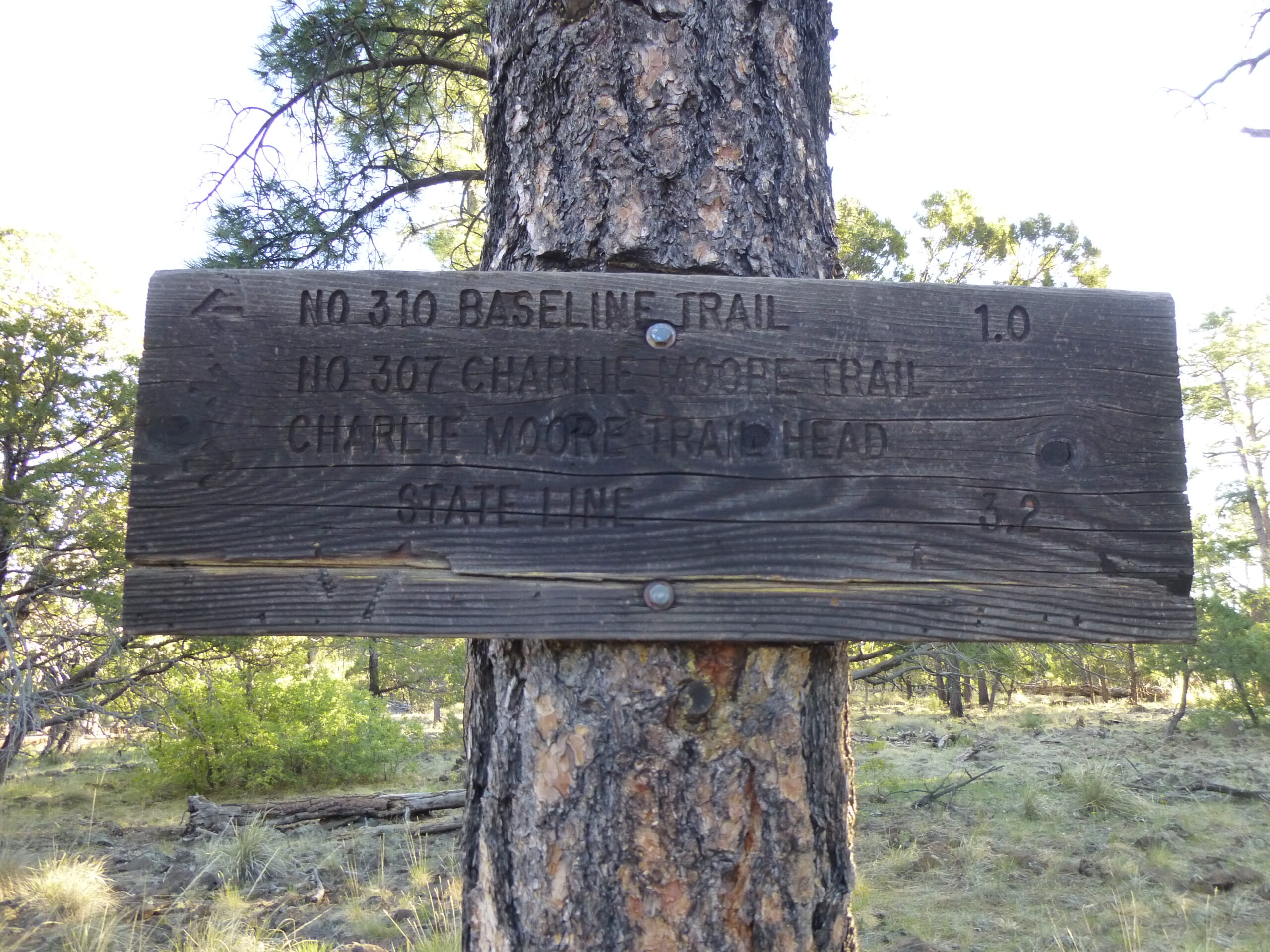
One of the signs.
Matching up what the topographic map shows and what the sign says, here’s what I came up with. Trail number 310, the Baseline Trail, could be reached by dropping down a ridge to the northwest and was found a mile later at 7,000 feet. Trail number 307, called the Charlie Moore Trail, was the one I had just walked up from my camp, back to the east. Its trailhead was back at the AZ-NM state line, 3.2 miles back down the hill. There was another sign a few feet away, and it contained different information.
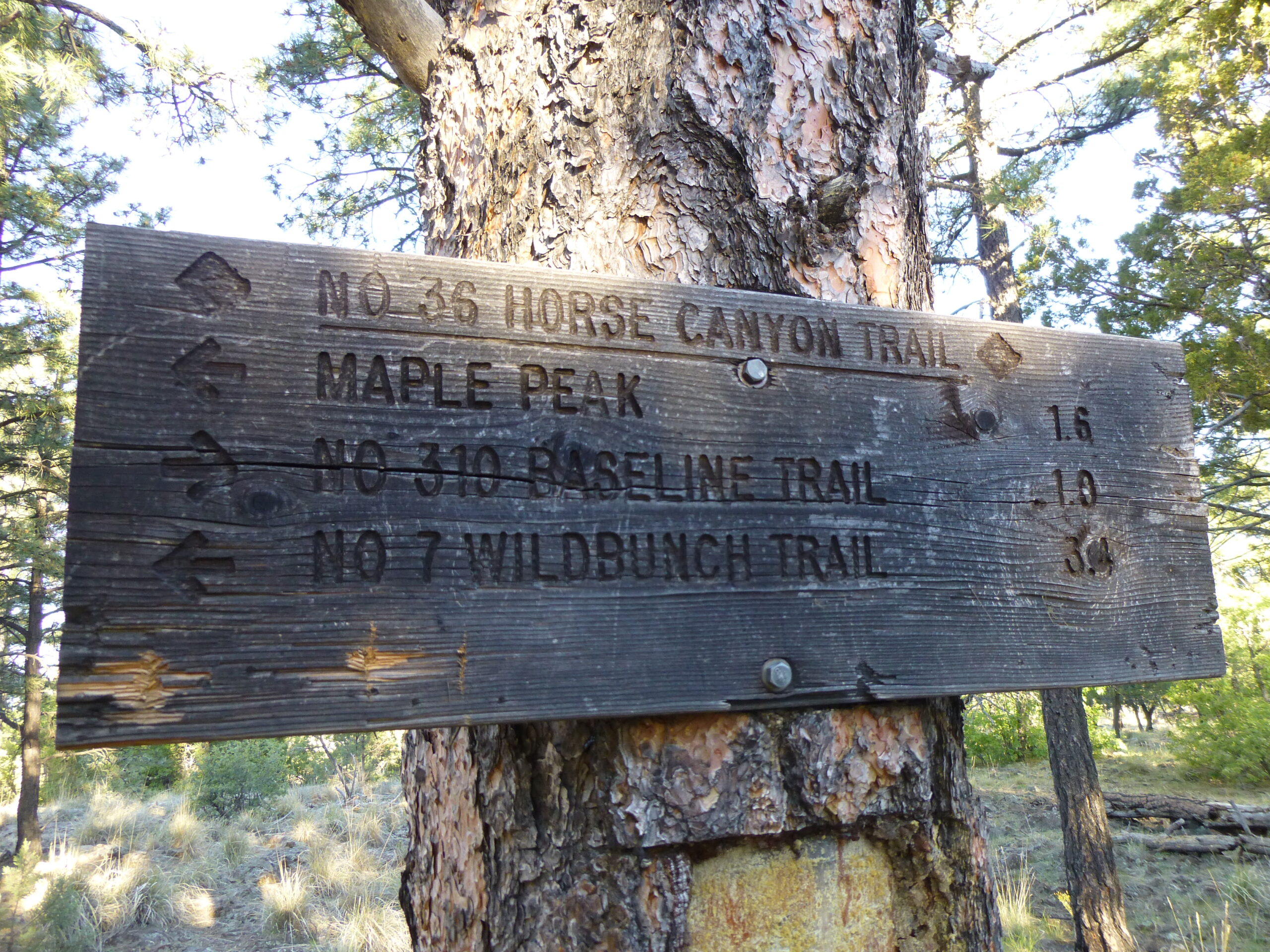
The other sign.
I was now on Horse Canyon Trail, which headed out in two directions. To reach Wildbunch Trail, you had to travel 3.4 miles to the south along Horse Canyon Trail. Maple Peak was 1.6 miles to the south along Horse Canyon Trail.
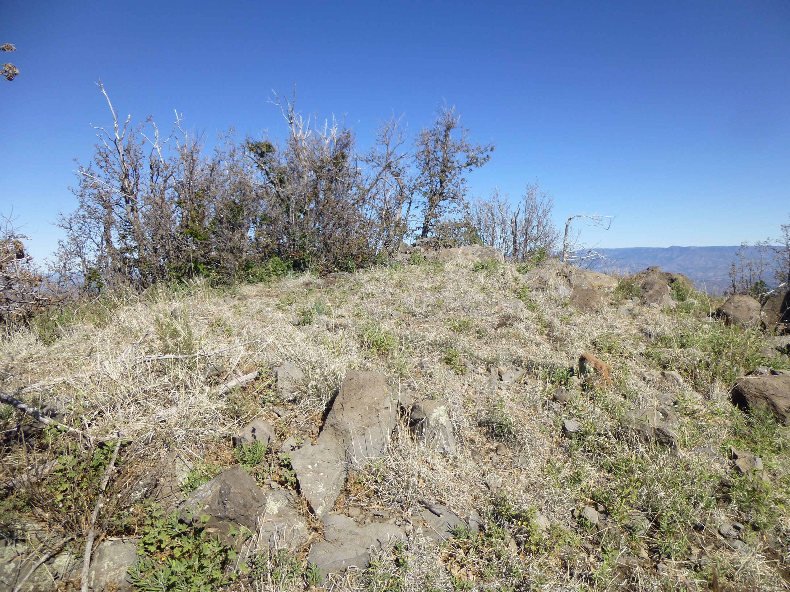
As I stood there contemplating all of this, I realized that I was on Charlie Moore Mountain. Its summit was a gentle open ridge trending southwest-northeast, the highest spot being 7,619 feet elevation. Here’s what that summit looked like – very flat.
The top of Charlie Moore Mountain
To the west of Charlie Moore was a large area called Blue Range Primitive Area. It is the only national forest primitive area left in the United States not reclassified wilderness, and it covers an area of 173,762 acres, or 271 square miles.
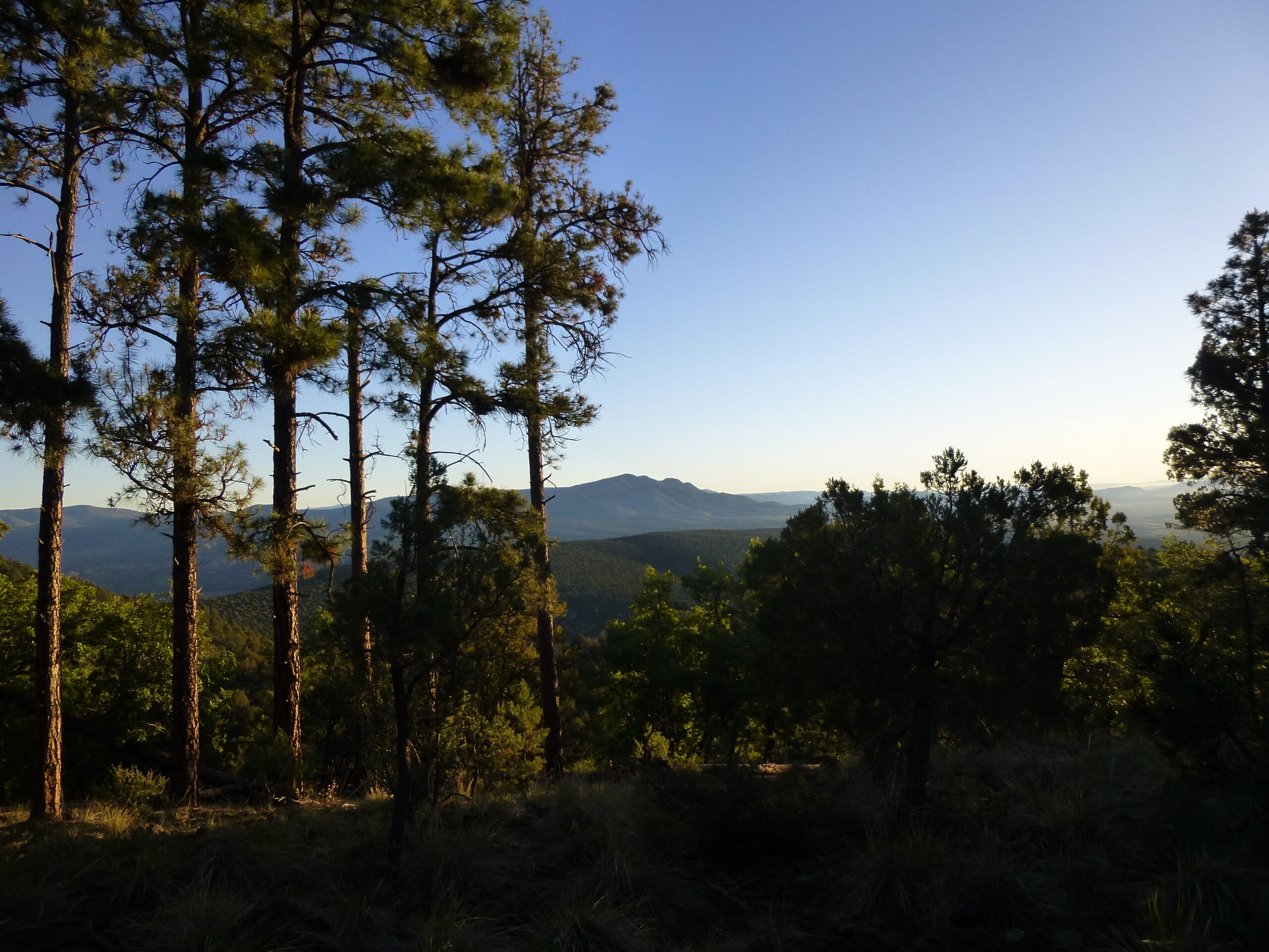
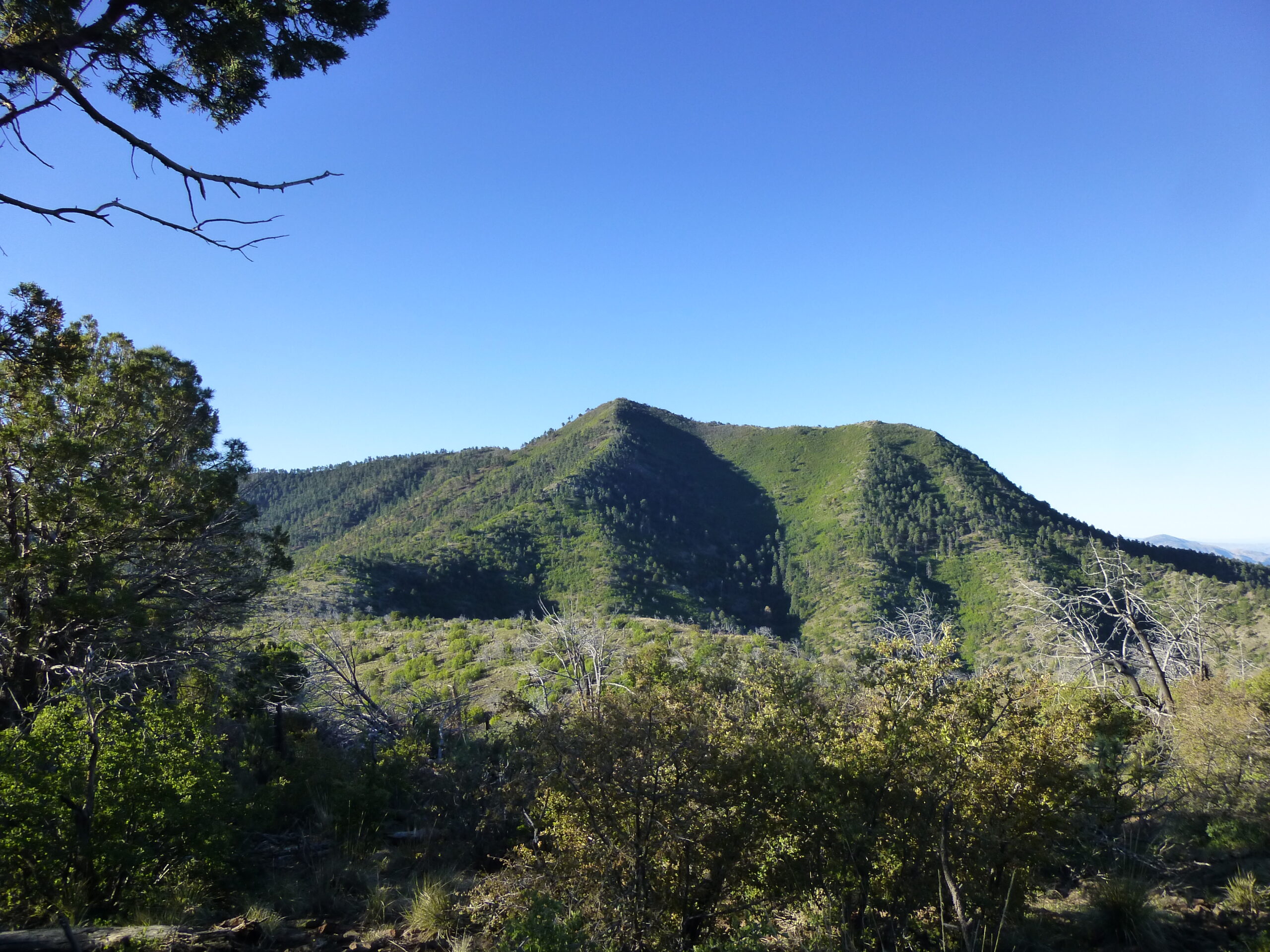
From Charlie Moore, we get this glimpse of our objective, Maple Peak, out there on the horizon.
That’s Maple Peak to the south.
A few minutes later, I got this even-better view which clearly shows the long west ridge of Maple trending off to the right. This is a bit of a telephoto view.
A nice view of Maple Peak – we are looking south.
Okay, let’s move on. Like the sign says, it’s still 1.6 miles to go to Maple Peak – we’ve come almost half-way on our journey. Downhill we go for about half a mile until we arrive at a saddle around 7,400 feet. From there, the trail climbs steadily, switch-backing its way farther south until, at 8,200 feet, it looks like it is going to bypass the summit completely on the east side. We leave the trail here and climb the last hundred vertical feet to the top.
There’s the top.
It was 8:16 AM when I reached the top – it had taken 3 hours from camp. My GPS said the summit was 8,304 feet, pretty close to the map elevation of 8,297 feet. I found a cairn, and the trademark register of Richard Carey from San Diego.
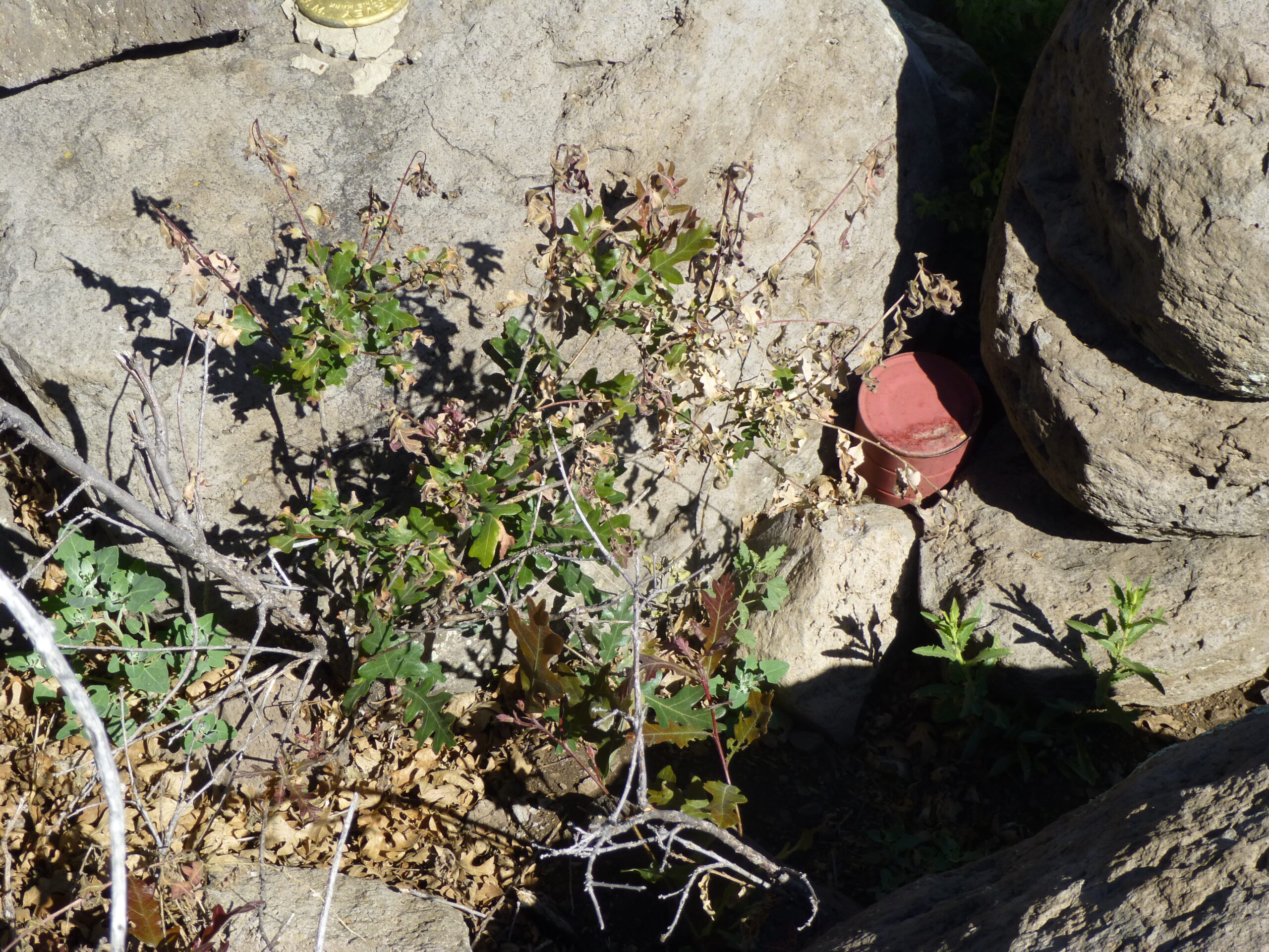
The register
And now for the view. This one, looking north, shows much of the second half of the country I had traveled through.
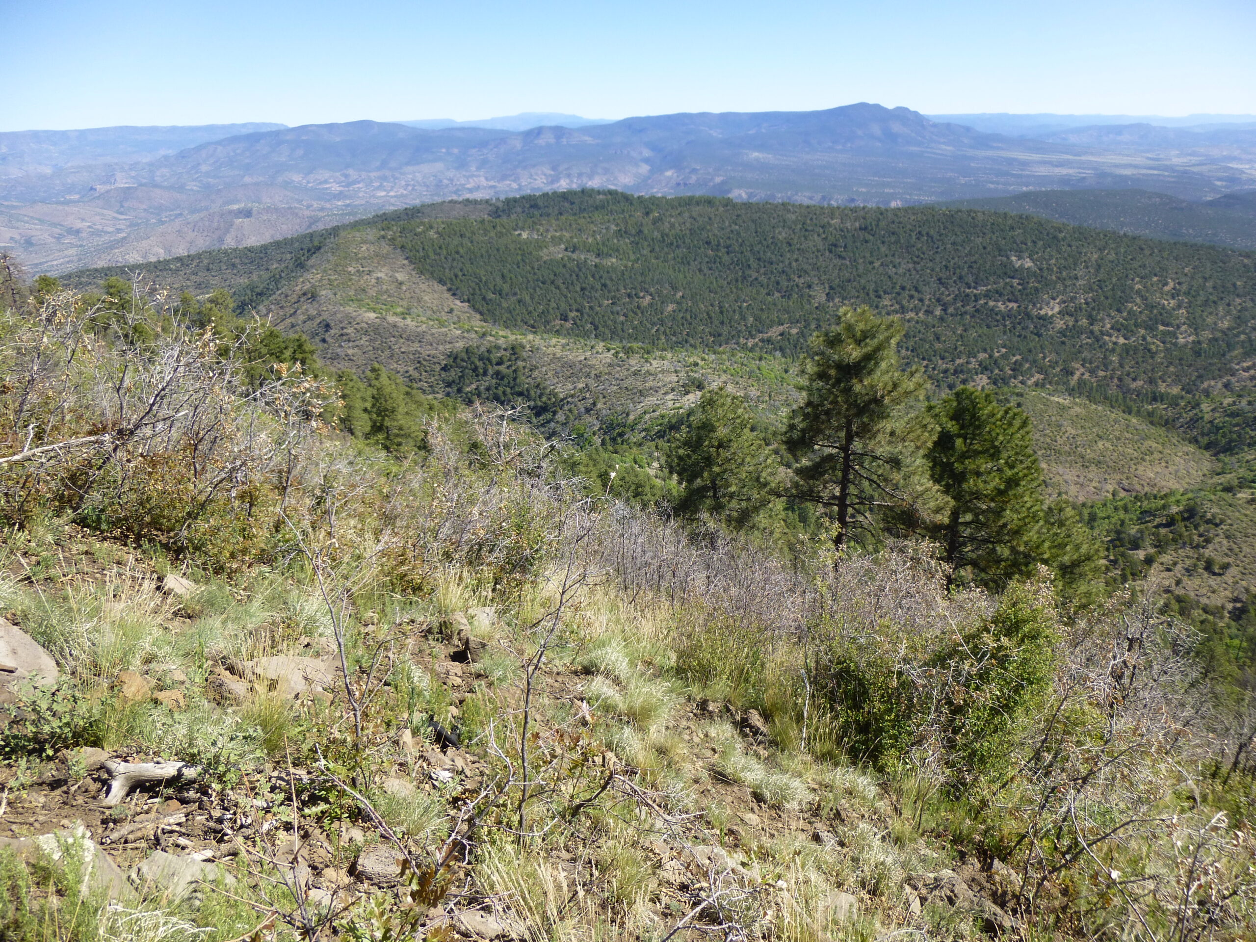
Looking north – that’s Whiterocks Mountain out there in the distance.
There was a benchmark on the summit. This one was a gold color, something I don’t recall having seen before. It said 8,302 feet, which differed from the map elevation. I don’t know why the difference.
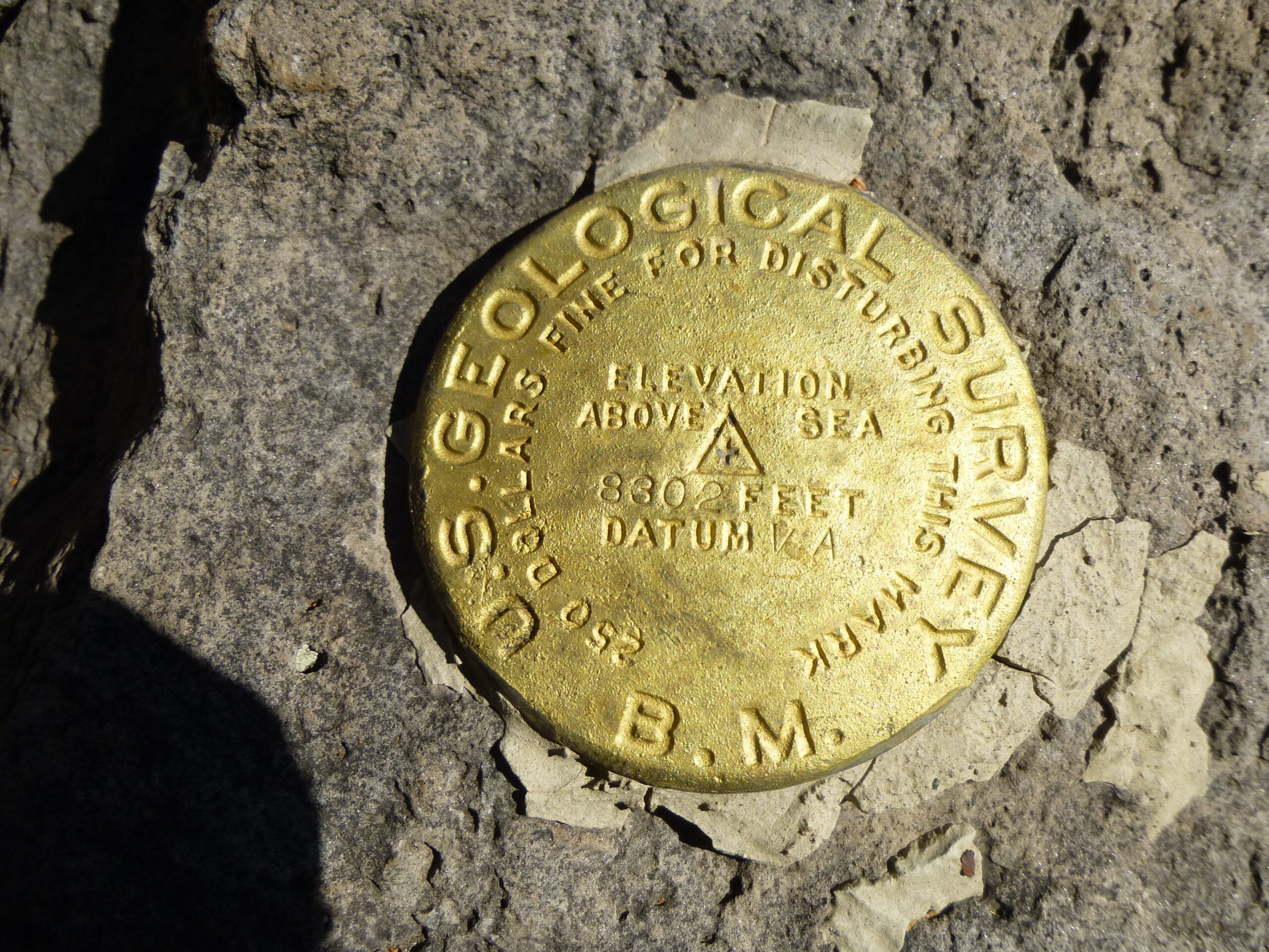
The survey marker.
I only stayed on top for about 10 minutes before starting down. I retraced my steps the entire way back. On Charlie Moore Mountain, I found this wire gate in the barbed-wire fence.
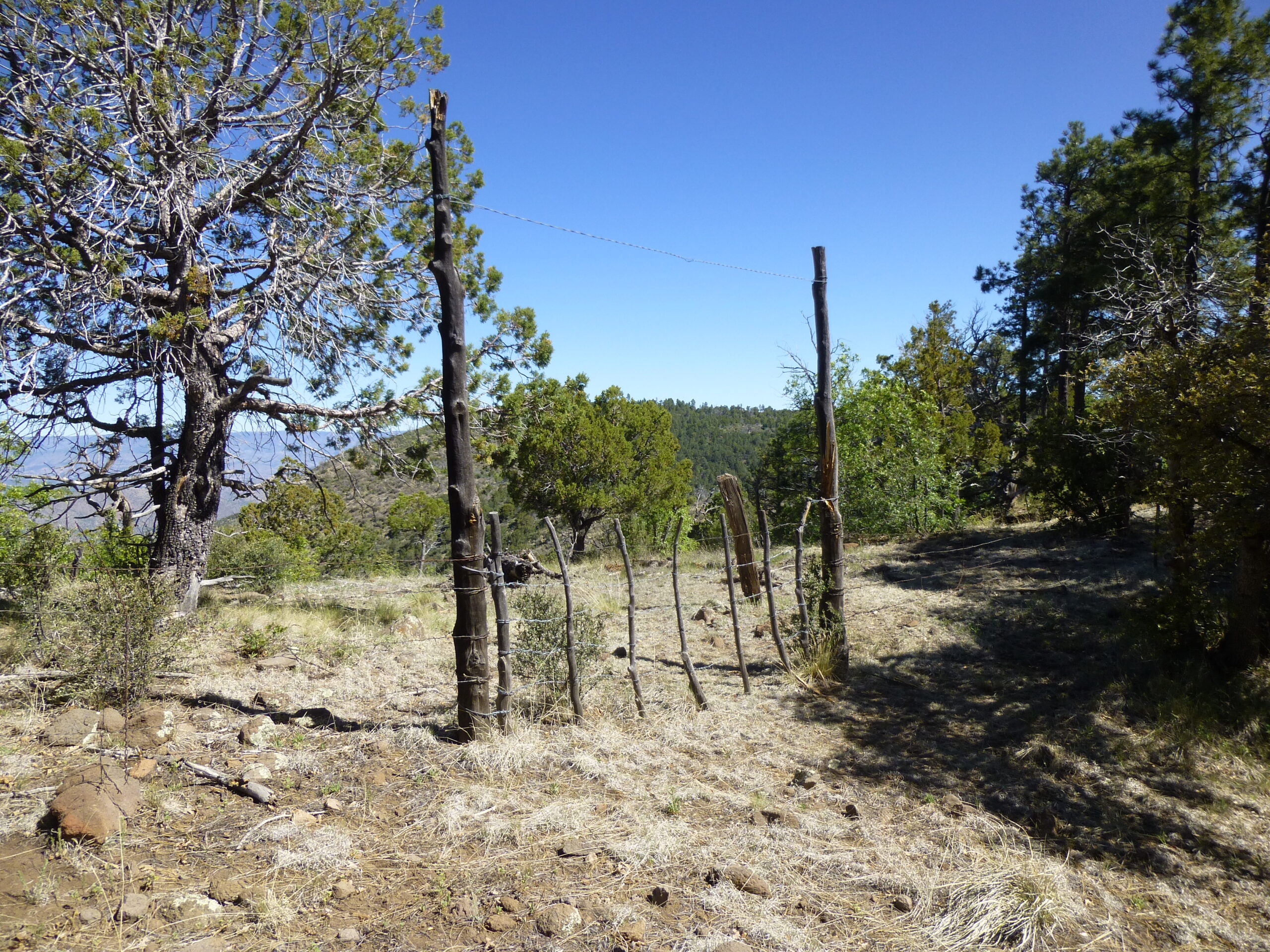
The gate.
You can’t help but love the names of features that surround Maple Peak, names such as Horse Canyon, Snare Canyon, Open Canyon, Porky Canyon, Maple Canyon, Hobo Tank, Beaver Canyon, Buzzard Tank, Banjo Tank, Charlies Tank and Devils Den Canyon. Those old-time ranchers and prospectors had good imaginations or had some wild experiences.
It was only 10:43 AM by the time I was back at my truck. My route had covered a round-trip distance of just over 6 miles. So here’s a puzzle for you. Plenty of other people climb Maple Peak, but every single trip report I read showed them coming in by a different route. All of them started at a trailhead called Wild Bunch, down in Snare Canyon. That route is just over 11 miles round-trip, so why would anyone come in that way? Beats me – it’s almost twice as far, with about the same vertical gain.
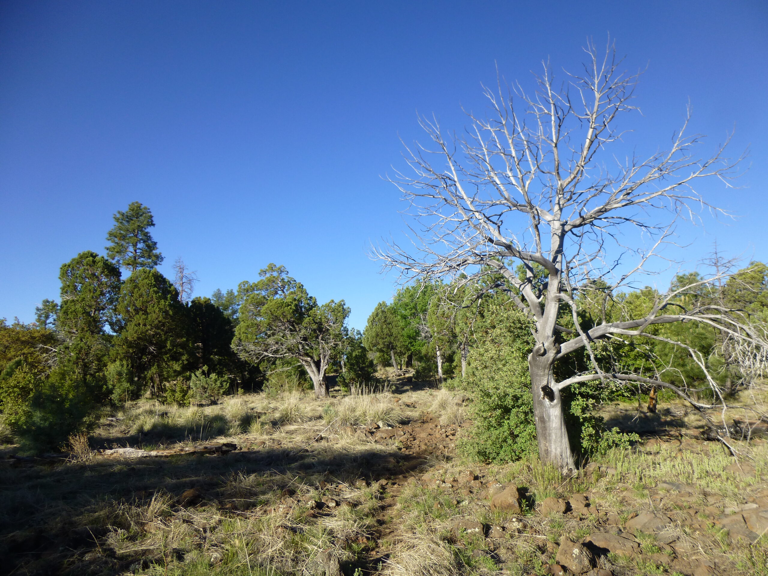
On the walk back out, I came across this alligator juniper tree beside the trail.
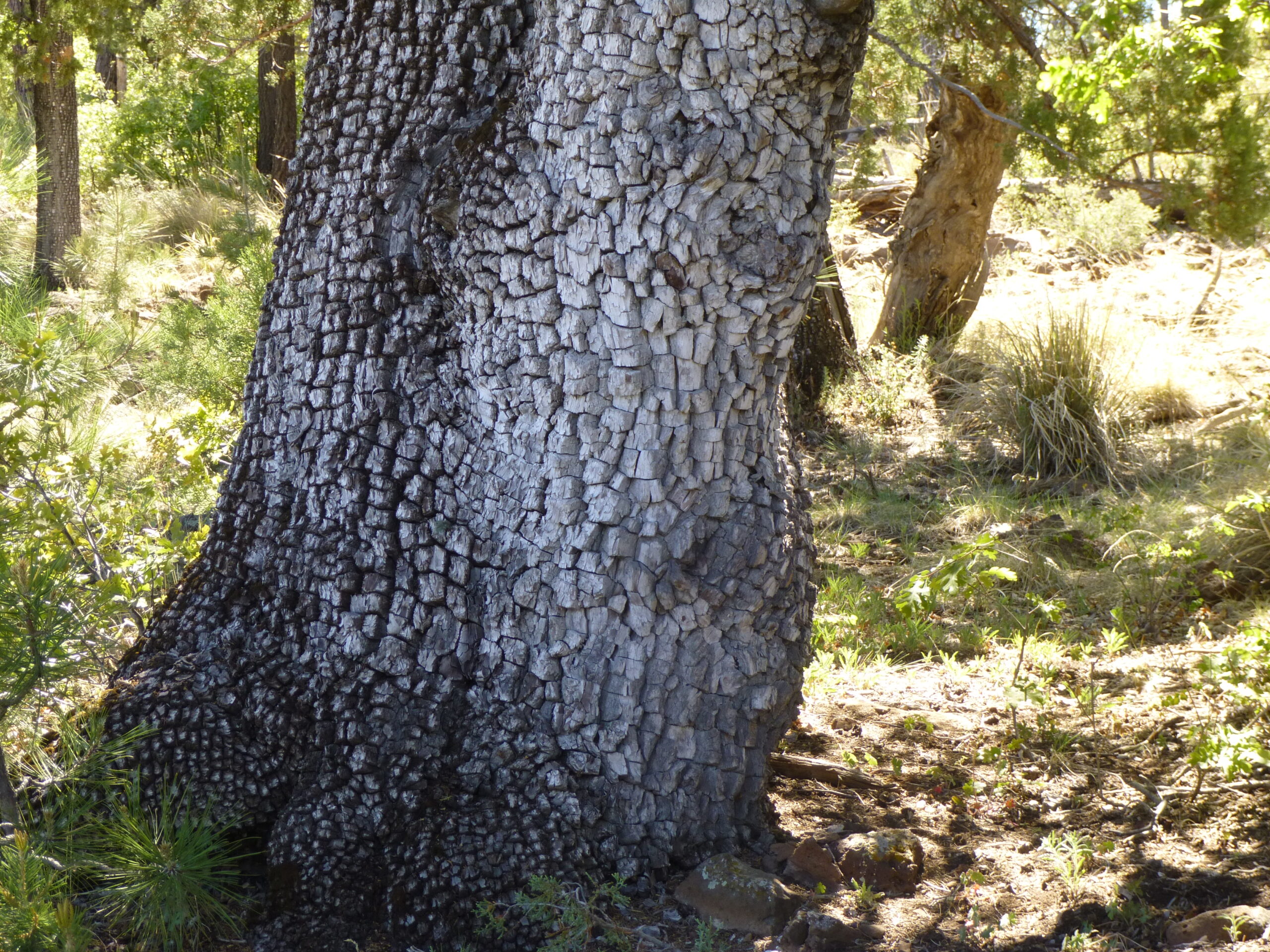
The alligator juniper. The name seems perfect for the texture of the bark.
Another sign, this one by the state line.
This sign was lower down.
Here’s a view back to Maple Peak in the distance – the view is to the southwest.
That’s Maple Peak out there, just to the right of center.
This sign was back down in lower country.
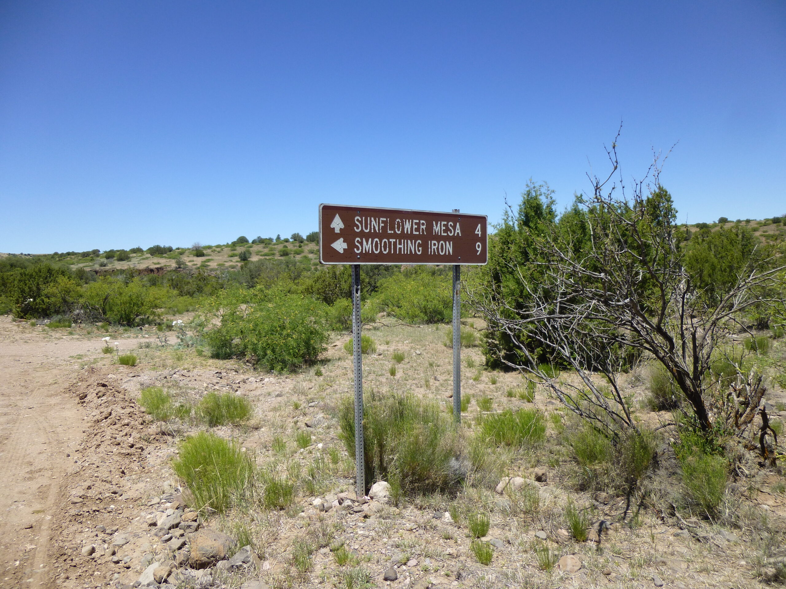
This sign was much closer to the highway.
And finally, here’s Alma. All that’s really there is the store and grill, and a couple of gas pumps. Hey, what more could you want, right?
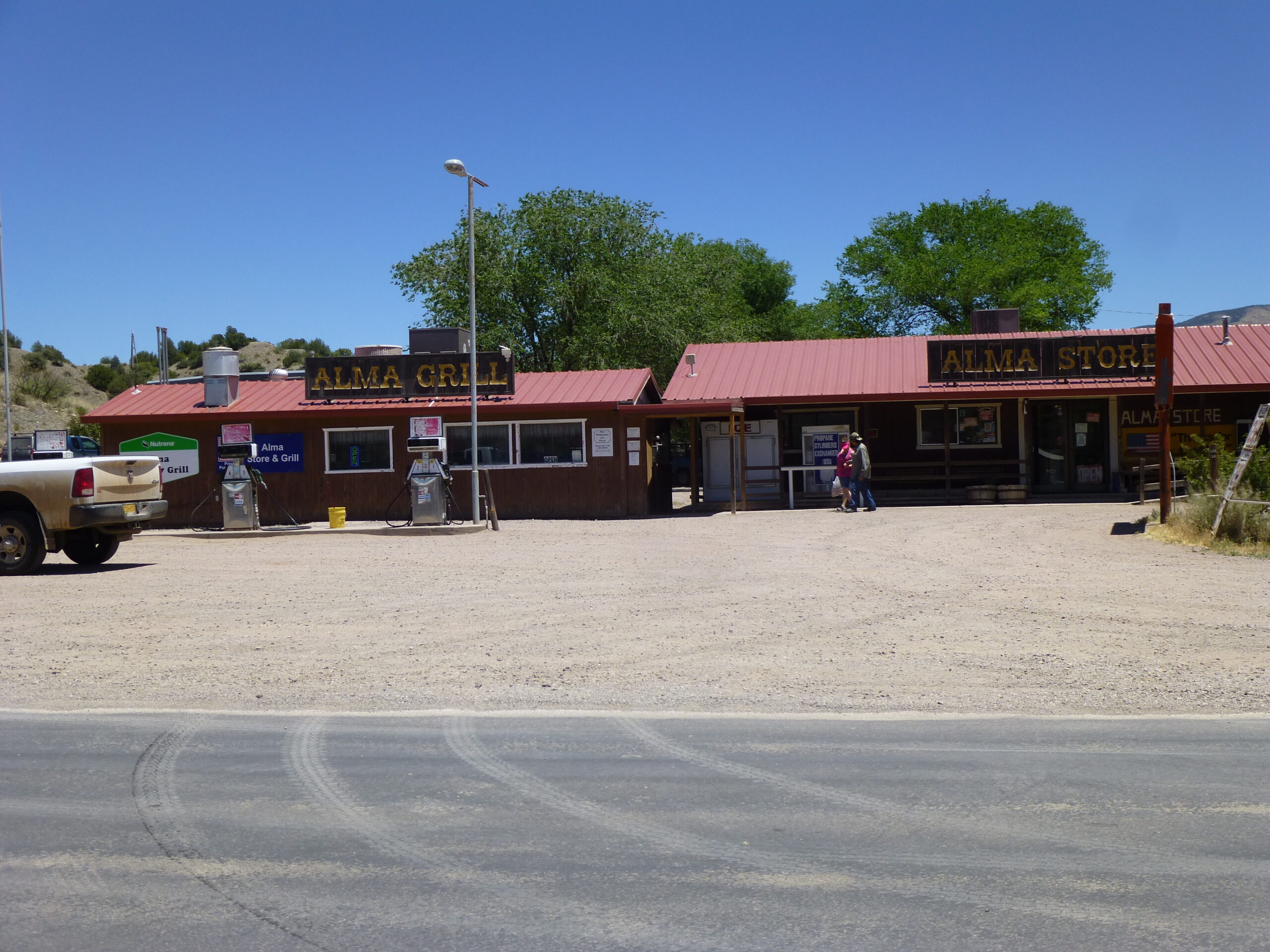
Downtown Alma, New Mexico
I knew that not far to the east of Alma, there were a bunch of pretty high peaks, reaching almost to 11,000 feet. I could get a glimpse into that high country, but sadly, it looked like forest fires had ravaged much of the area. Besides, I had to get back to Tucson. In retrospect, Maple Peak had been a nice outing in nice forested country, and I’d recommend it to anyone, especially if you use my route instead of the one to the south that most folks use.