
Please read the piece called “Tucson Mountains Traverse – Chapter One” before starting this one.
Part Three
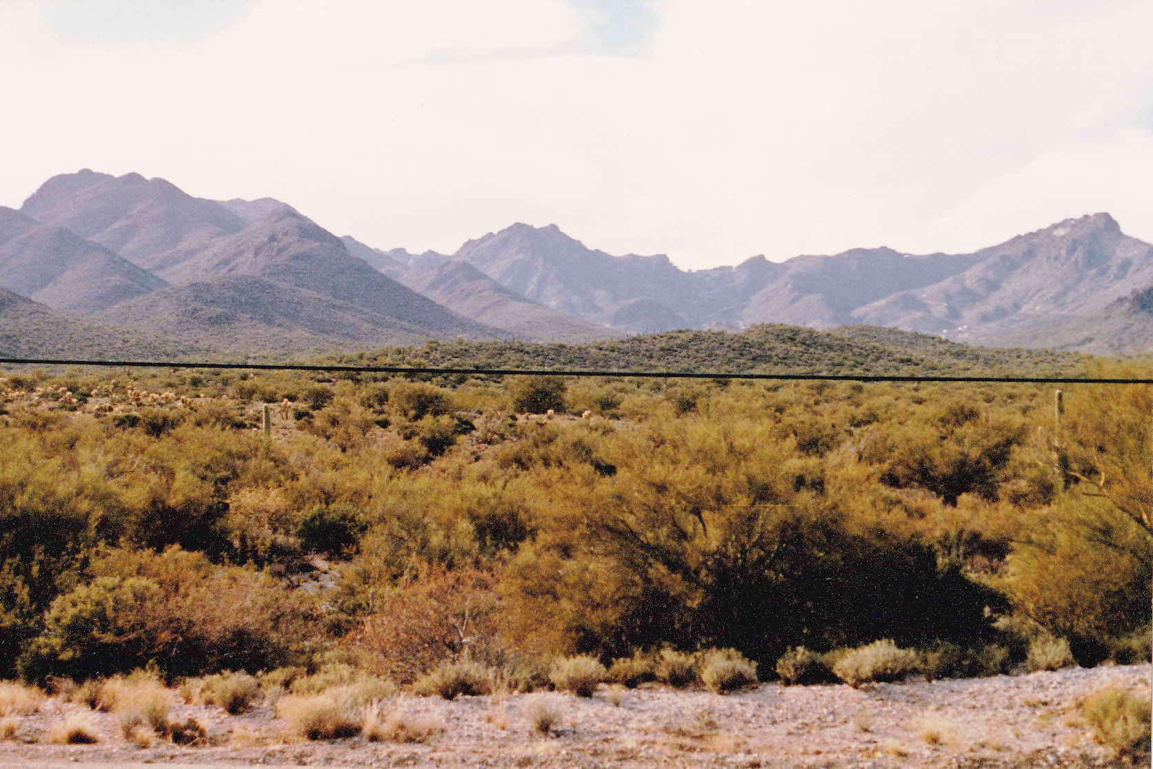
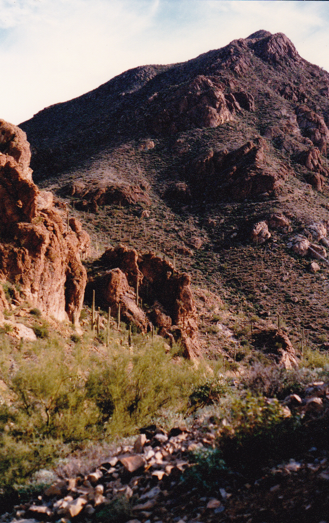
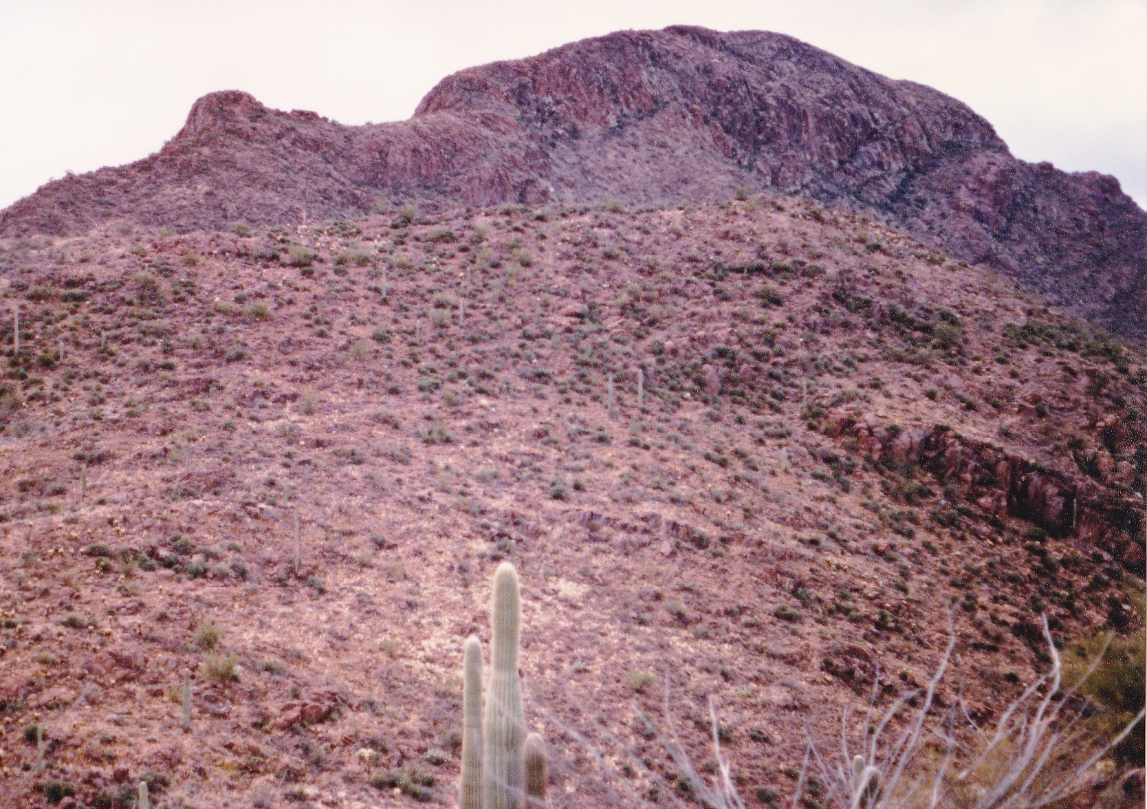
Good morning! I had just spent a restful night in a saddle at 3,634 feet in the heart of the Tucson Mountains. It was January 19th of 1989. I was about half-way through a multi-day project, following along the height-of-land through the range, hitting not only the peaks but also every little bump along my path. This is called Part Three because up until now, I had spent 2 full days working my way through the range. My night had been spent a thousand feet lower than my high point of the previous day, but still over a thousand feet above the city. It was another perfect blue-sky day in the Sonoran Desert.
The next part of my journey would take me up a ridge to the southeast towards a nearby peak, but in the process I would have to cross over a number of small bumps, each of them interpolated, and these were their elevations: 3,690′, 3.910′, 3,910′, 4,050′, 4,210′, and 4,210′. This brought me to something that had been given the odd name of “Non-Persondatory Peak”, elevation 4,290 feet. This was the start of a high section of the range, much of it over 4,000 feet for the next few miles.
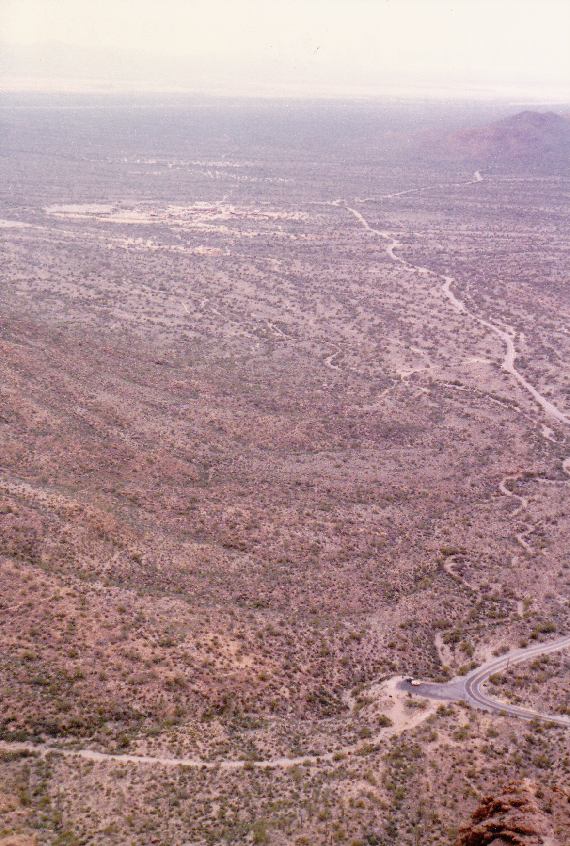
Upon leaving this peak, I continued down the ridge, still heading southeast, crossing over three bumps of 4,250 feet each, then another at 4,230 feet. This deposited me in a saddle at 4,090 feet. From there, I climbed uphill, still heading southeast, crossing over 2 more bumps (each of them at 4,150 feet). A walk of a few hundred feet farther along the ridge saw me leaving Saguaro National Park and entering Tucson Mountain County Park – not that you could tell any difference, it was just a point on a map. Just up ahead loomed something new, something the likes of which I hadn’t encountered since leaving Contzen Pass early yesterday morning. As I crested the next peak at 4,395 feet, arriving at the top of what was locally known as “Trails End Peak”, I found myself surrounded by metal towers. Not only was this the second-highest ranked summit in the entire range, but I was surrounded by works of man. These were communications towers, 5 of them in all, and several associated buildings. The tallest of them was owned by KRQQ-FM, a Tucson station broadcasting at 93.7 Mhz with a power of 93,000 watts. An access road came right up to them, a road called Hidden Canyon Drive. The road was locked much lower down the mountain, at 3,600 feet, so normally someone like myself wouldn’t be able to drive up to this spot – you could always walk it, of course.
I left this curious place and continued south along the ridge, which dropped quickly down to a spot elevation of 4,078 feet. I then crossed over some small bumps at 4,070′, 4,090′ and 4,010′, and from a small saddle scrambled up to Point 3985. Here, things got interesting – houses, and fancy ones at that, perched right along the ridge crest at almost 4,000 feet. Access to these was from a locked gate lower down the mountain on its east side via Sky Canyon Drive. I passed by the first one, then came to the next property. Above it sat a metal tank, and water was leaking from it badly. I could tell it was meant to service the next house, ahead of me and a bit below. That leak looked like it was not supposed to be happening, and I thought maybe I should tell somebody.
A few feet ahead stood a nice house, to which the tank obviously belonged. I walked up to the front door and rang the doorbell. Moments later a woman answered – you should have seen the look of shock on her face. Who the hell was I and what was I doing on her property? I mean, this place was about as private as you could get, the abode of rich folks, and here was I, a grungy climber, dirty and sweaty, with a pack on my back. I told her who I was and how I was climbing my way through the range, then told her about the leaking tank up the hill. She knew right away what I was talking about – apparently it had happened before. She was grateful that I had told her, and offered me something cold to drink. I sipped on a glass of lemonade by her front door while she phoned her husband in town to tell him the news.
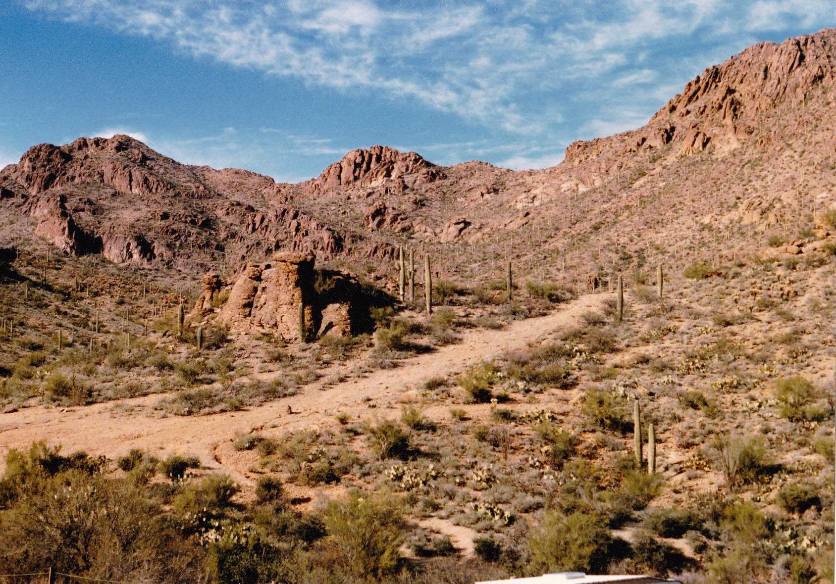
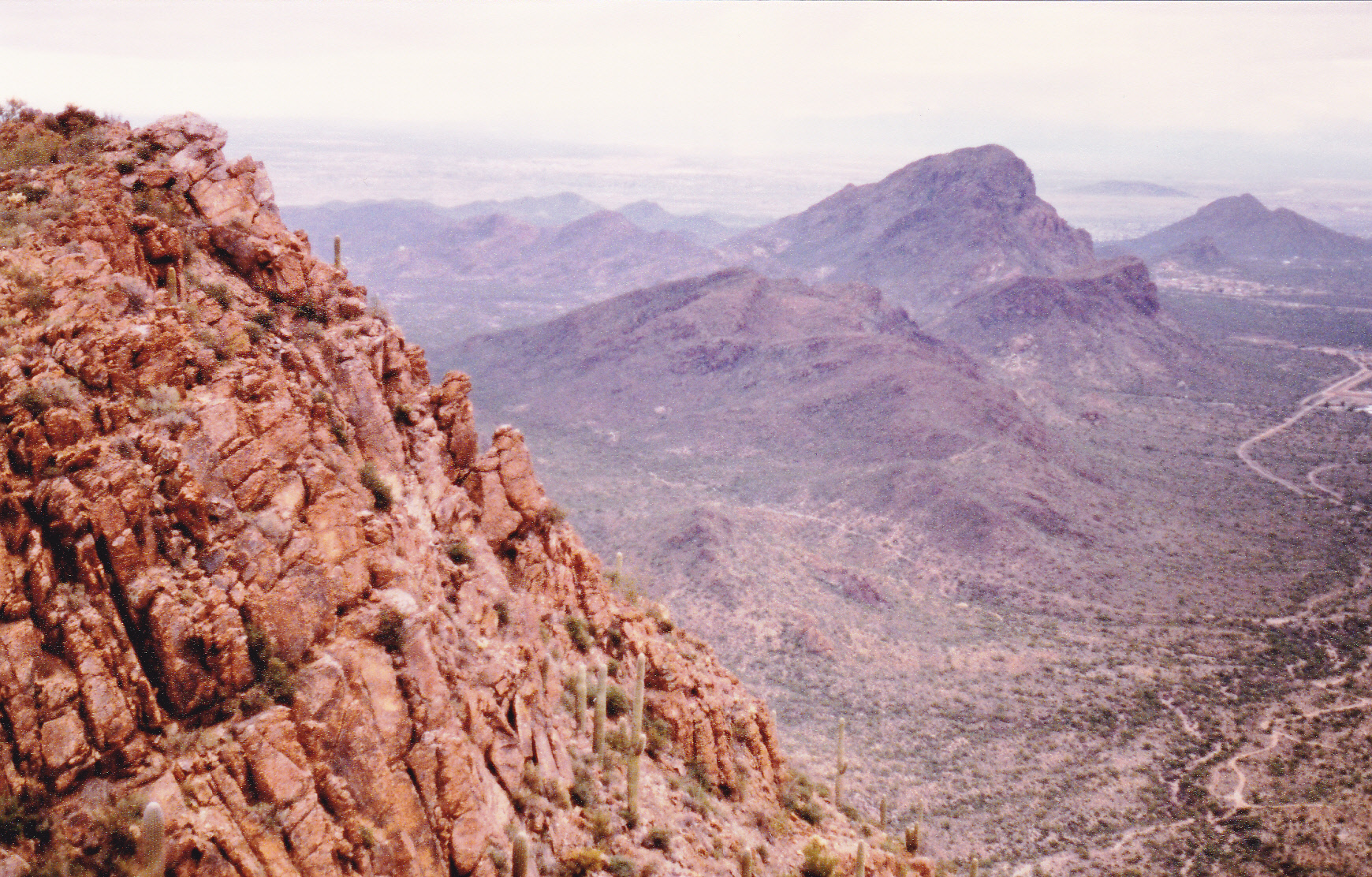
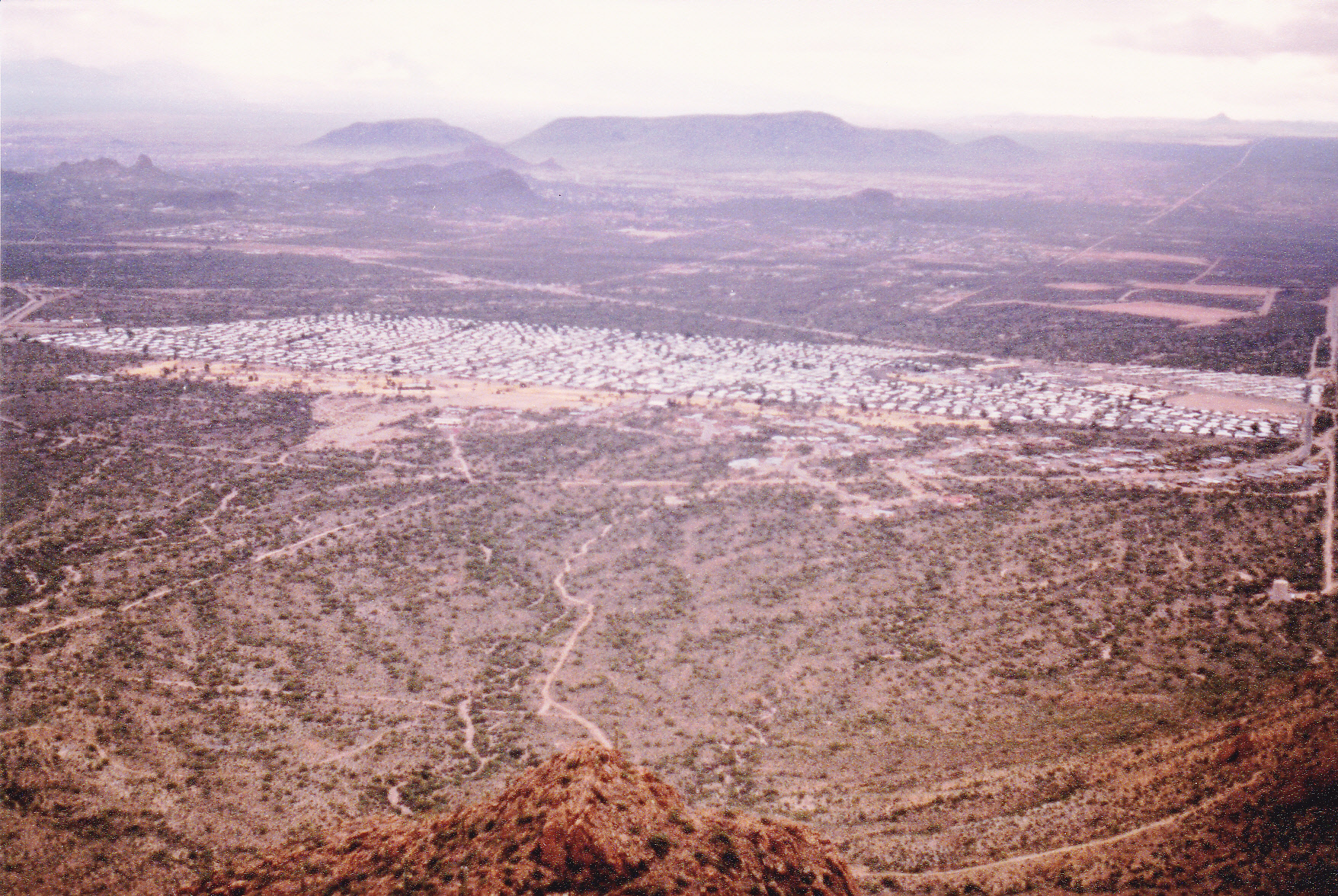
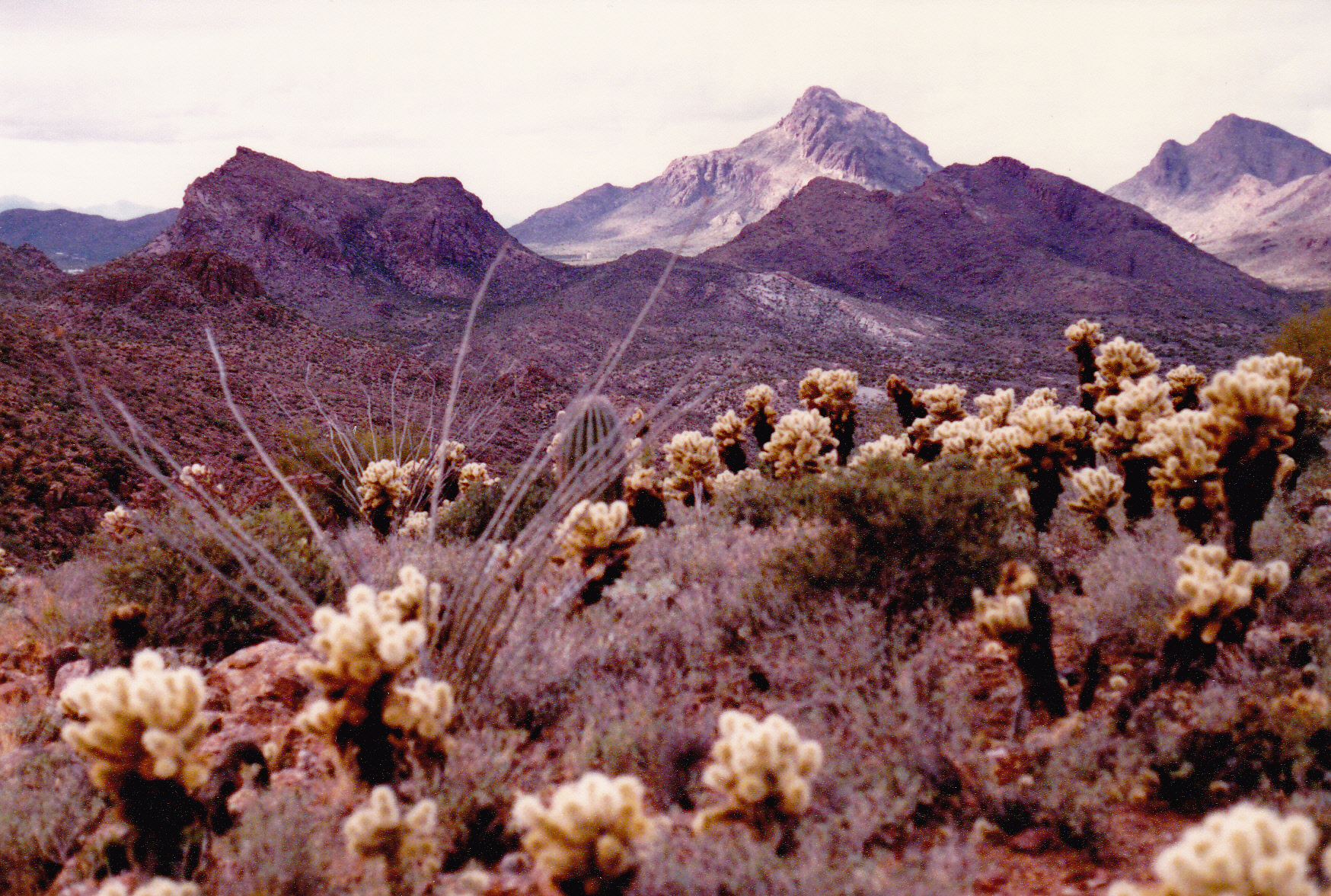
In this photo, Peak 4395 is on the far right. It is the one with the cluster of radio towers. Just to the right of center, in the lowest dip, are the private homes. Tower Peak is the prominent one just to the left of center. I think the big bulky one on the far left is Bushmaster Peak.
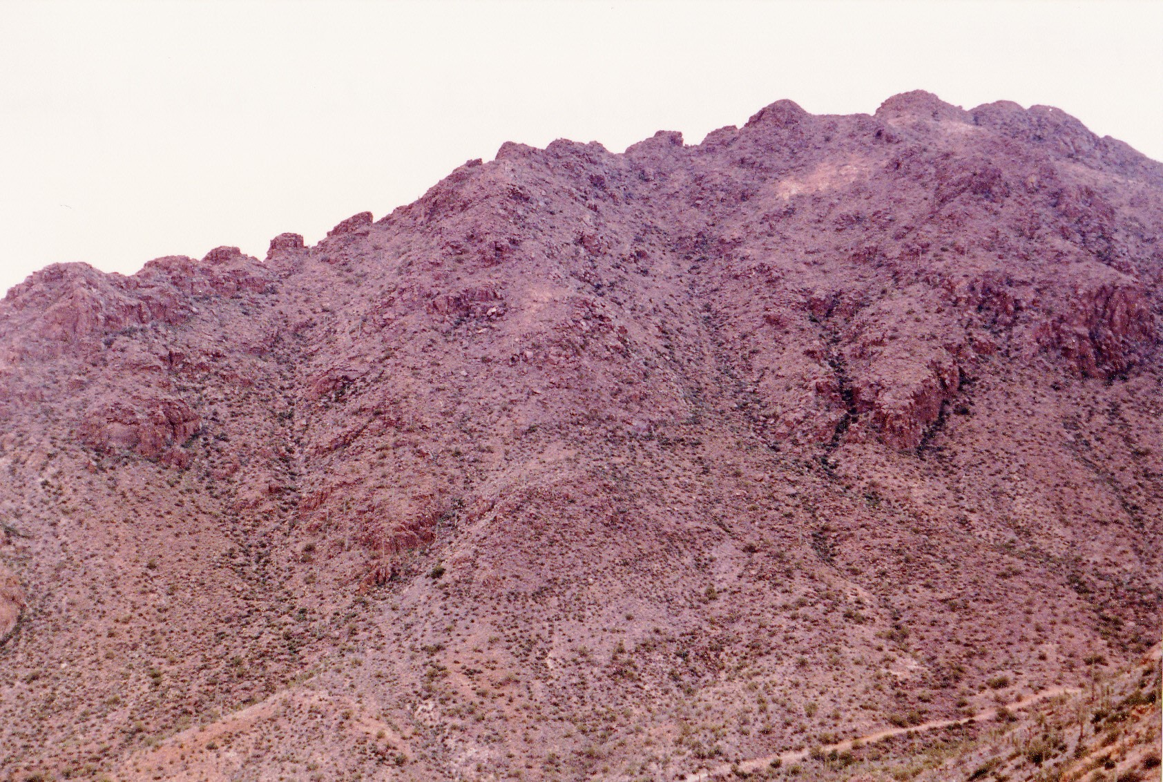
That bit of excitement done, I said thanks for the drink and carried on, heading south along the ridge. Past a small saddle, then over 2 bumps at 3,970 feet and, Bob’s your uncle, there I was atop Tower Peak. This beauty stood 4,170 feet above sea level. I’m not sure about the origin of the name – there are no towers on the peak. The route ahead was plain to see – I had to stay on the ridgeline and keep going south. After dropping to a saddle at 3,910 feet, I climbed up to and over 2 bumps, at 3,950′ and 3,970′, then up to Point 4063. Off to the east, and definitely not on the main ridge, sat a peak which was high and worth climbing. This would be my best opportunity to climb it as I was so close. What the heck, the detour wouldn’t cost me much time. Away I went – 3,660 feet horizontally along the ridge took me to the summit of Bushmaster Peak. At 4,110 feet elevation, it was still one of the highest in the range, and it seemed a worthy objective. It was named for a unit of the Arizona National Guard named the Bushmasters, which served in the Pacific during World War II. I left a register there, as I found none. Back I went, crossing over the 3 bumps along the ridge (for the second time) and returning to Point 4063.
Immediately south of 4063 was some steep, messy country. I decided to head back a bit to the east, then drop south and, by degrees, work my way to a bump at just over 3,600 feet. From there, I worked my way east into the head of a wash and followed easier country down to a road down below. My day was done! I don’t recall what time it was when I walked into the very touristy parking lot at Gates Pass at 3,172 feet. After a while, my pre-arranged ride arrived to pick me up and take me home.
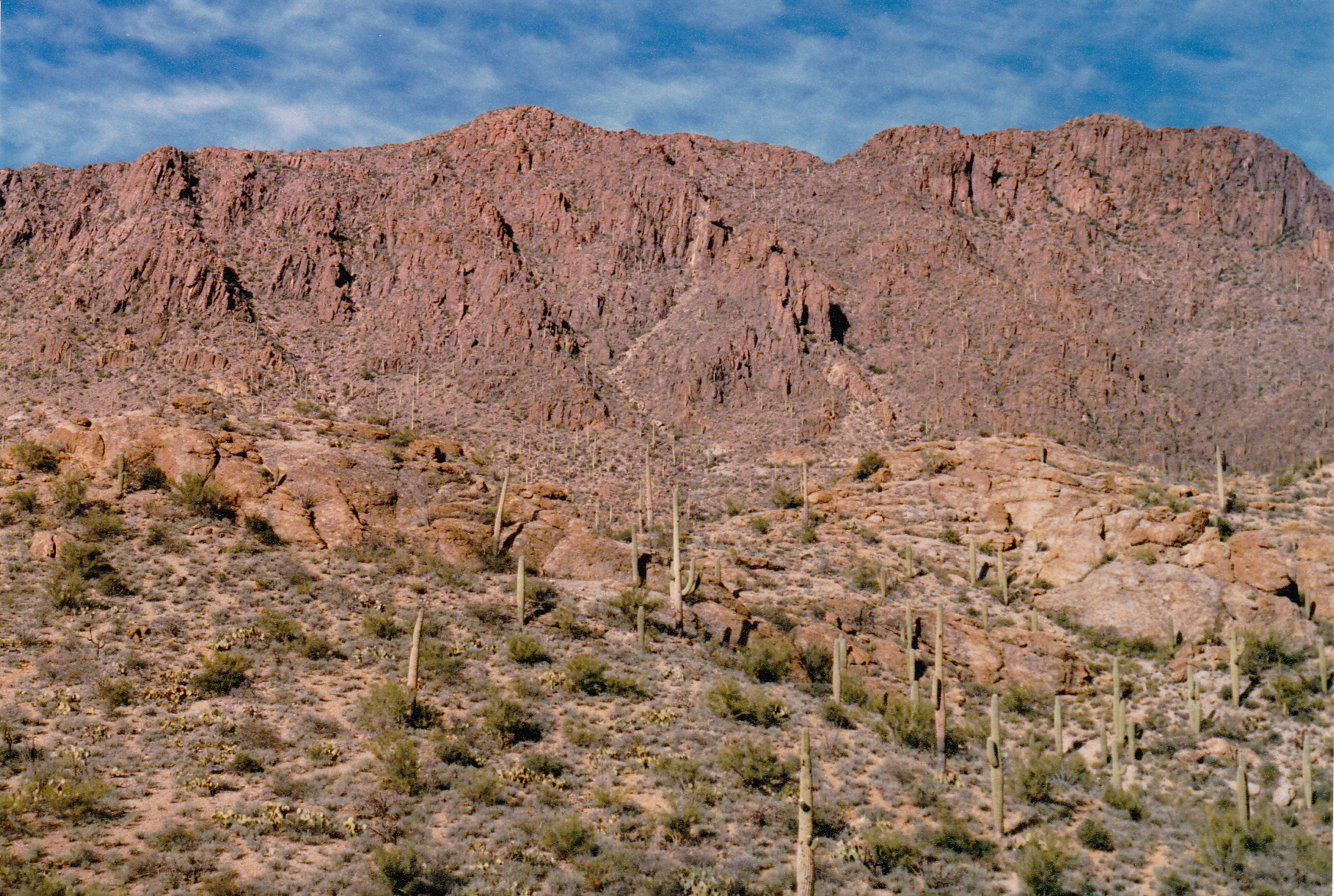
Looking north from Gates Pass into the Tucson Mountains.
Also from Gates Pass – a nearby hill on the left, and up to the spine of the range on the right.
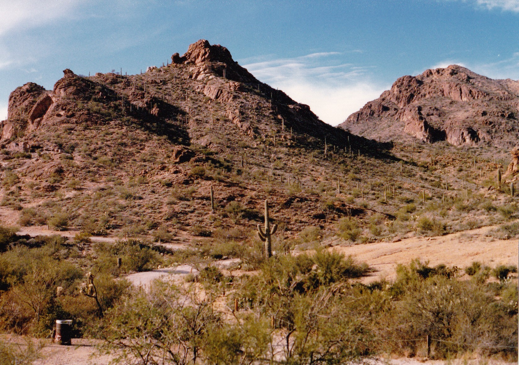
This shows Bushmaster Peak, which dominates the entire north side of Gates Pass.
So, this next major chunk of my Tucson Mountains traverse was complete. I had suffered no mishaps and felt good. The section from Contzen Pass, where I had been dropped off the morning of the day before, to Gates Pass had covered 18.5 miles on foot and required 8,000 vertical feet of climbing (that figure takes into account all of the extra bumps, large and small, that I had to cross over en route).
Part Four
Eight days later, I was back, this time to finish the last segment of the traverse through what I felt was the main segment of the Tucson Mountains. It was January 27th, and of course the weather was perfect (hey, it was winter in the Sonoran Desert, it doesn’t get any better than that). My friend dropped me off at the parking lot at the summit of Gates Pass at 3,172 feet elevation. Once again, I was wearing a day pack with just the bare minimum of gear, ready for traveling quickly.
Today’s journey saw me starting southeast up a narrow ridge, crossing a bump at 3,250′, then topping out on a bigger bump at 3,550′. From there, I dropped down to a saddle at 3,310 feet. Then my route changed and I headed south. What followed was a climb of almost 700 vertical feet to the top of Bren Benchmark.
Looking south to Bren Benchmark
A few hundred feet farther along the summit ridge was a spot a couple of feet higher, which I crossed, as it was along my path. Here are some views from the summit of Bren.
In this view northwest from Bren, we are looking out towards Old Tucson and the Desert Museum.
Looking west to Golden Gate Mountain
From Bren, looking south to much of the rest of my route for the day.
The next part of my route was down the southeast ridge of Bren, and it dropped me all the way down to 3,170 feet.
I continued straightaway up the northwest ridge of my next objective, crossing over 2 minor bumps at 3,250′ and 3,510′. This took me to Peak 3530, colloquially known as Ringtail Ridge. It was one long ridge, with the high point about in the middle. When I left the top, I continued in a southeasterly direction but knew I’d have to bail off of it before long. That time came when I reached a pair of small bumps at 3,510 feet, where I headed straight downhill and dropped all the way down to a saddle at around 2,900 feet. There, a path known as the Yetman Trail passed through. It is named after David Yetman, a research social scientist at the University of Arizona who is well-known to Tucsonans for his television presentations on the world’s deserts.
There was no-one else on that part of the trail as I crossed over it and started immediately up my next peak – I reached its ridge at about 3,000 feet and then continued climbing to the southeast towards the summit. There weren’t any difficulties, and I crossed over small bumps at 3,210 feet and 3,370 feet before stepping on to the top of Peak 3380, with the nickname “Bobcat Ridge”.
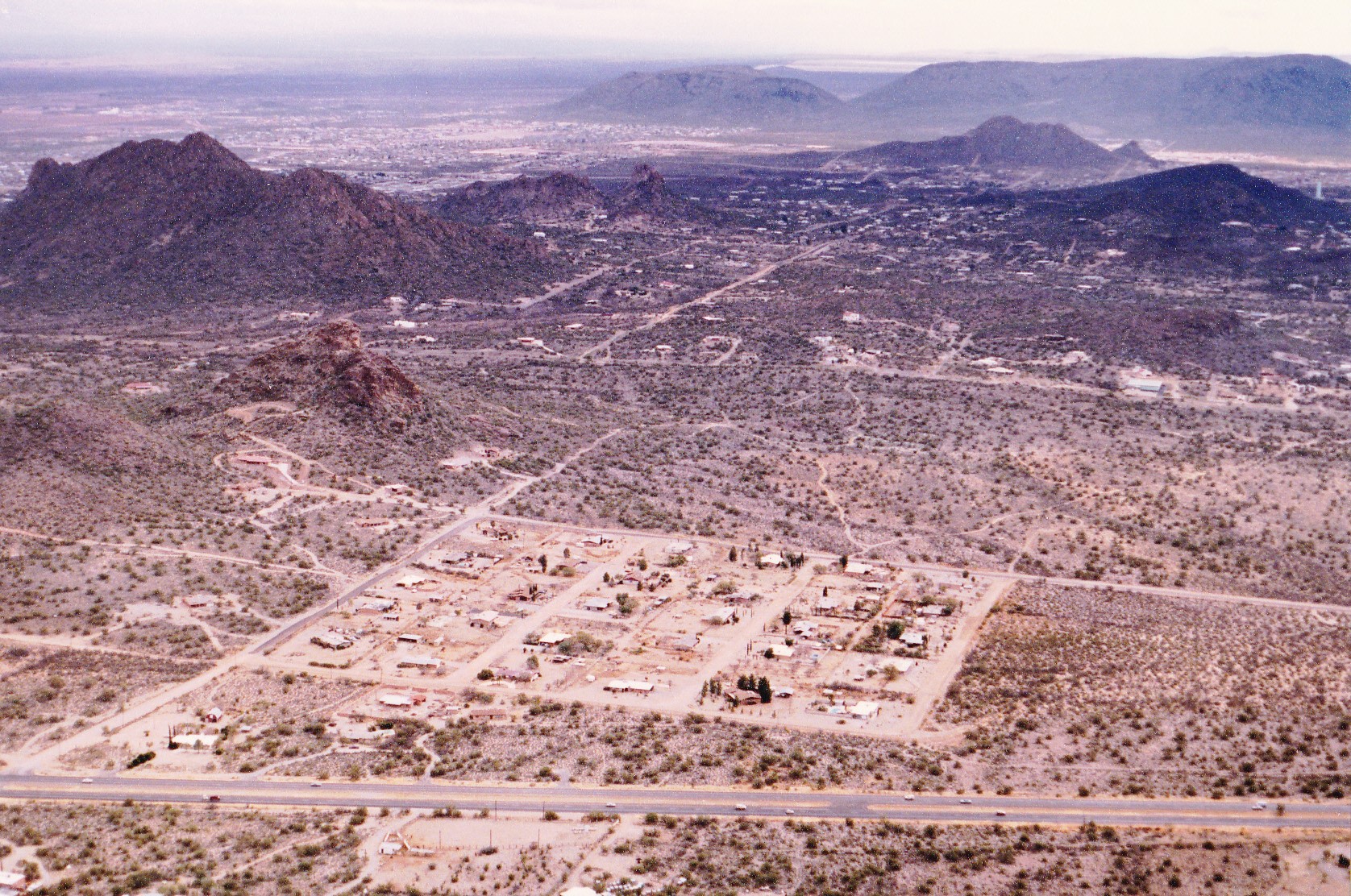
This section of my journey through the Tucson Mountains had taken me to a part of the range that was much closer to civilization. 700 vertical feet below me sat Tucson Estates, a well-established community of manufactured homes with fully 10,000 residents. The sight and sounds of it were impossible to miss.
Tucson Estates. It became bigger as the years went by.
Time was marching on, and it was time for me to do the same. My route took me downhill to the southeast, where I crossed over a large bump at 3,270 feet and then a smaller one at 3,110 feet. One more bump, at 2,990 feet and I stood in a saddle at around 2,990 feet. Supposedly some sort of pipeline ran across the mountainside near here, but I could see no sign of it. My route continued up in a sinuous path to finally reach the summit of Peak 3330, known locally as “Little Cat Mountain”.
The day had started to cloud over. I had to tread carefully to avoid the impressive cliffs on the southwest side of this peak. After crossing a small bump at 2,930 feet, I found myself in a saddle at around 2,780 feet. The Starr Pass trail went through there – again, there was nobody else around, and I had the whole place to myself.
The next part of my trip was staring right at me, and it was called Cat Mountain. It is a very prominent peak well-known to locals, as a major highway passes right by on its south side. People have died trying to climb this peak, but they weren’t climbers. Rather, they were locals or sight-seers who, intrigued by its closeness and easy access, decided to try to scramble to its summit via its southwest slopes. It may not look too bad from the highway, but it’s easy to get all tangled up in its maze of cliffs and never reach the summit. Others had to be rescued from the same slopes.
So here I was – same peak, but my traverse would take me up its untested northwest ridge. Actually, I had been looking forward to the challenge, but I had no idea what I’d run into. By the time I set out, a light rain was falling. This didn’t help any, as it gave a greasy feeling to the rock, forcing me to pay serious attention to every move. There were 2 tiny bumps to cross on the way up. The climb was 1,100 vertical feet, and obviously it went okay as I’m still here, writing this 36-plus years later. The most challenging parts went at low 5th-Class, and at 1:30 PM I stepped on to the well-trodden summit. It had been a great climb, the best part of the day’s outing. This was my first time climbing the peak, but in later years I climbed it several more times, sometimes in the company of friends. I signed in to the register and took a short rest.
Looking back northwest from the top of Cat Mountain.
In this view, we are looking south from the summit of Cat, across the highway. Much of what you see is now built-up with subdivisions.
Looking east from Cat, showing much of the route I still had to travel.
I descended Cat Mountain by its normal route, the east ridge. This airy scramble goes at a solid Class 3.
Looking southwest back up to Cat Mountain
Most of the way down, I veered north towards Point 3059 but didn’t go quite that far. Instead, I swung to the east and climbed over bumps at 3,110′, 3,210′ and 3,110′ which were all points along a ridge. From 3110, I dropped south down into a wash, then up a sizeable bump with an elevation of 2,890 feet. I was in a part of the range populated by significant bumps, not quite high enough to be peaks in their own right but some of them pretty close. A good example was the next one, shown on newer maps with an elevation of 2,989 feet. Up and over that one, then a major change of direction. I dropped down to the northeast, across a wash, then up to Point 2883. When I left this one, I swung in an arc down to the southeast, down to a wash at 2,640 feet.
One last look back. The dark blocky peak on the left is Little Cat Mountain; the high one in the back, just to the right of center, is Golden Gate Mountain; the dark one below it and to the right is Bobcat Ridge; the one on the far right is Bren Benchmark.
By this point in my journey, I was definitely back in the land of the living. Vehicles roared past on a major highway only half a mile away to the south. Once I crossed the wash, I climbed east back up on to a ridge and crossed a series of bumps at 2,690′, 2,990 feet, 2,850′ and 2,830′. The end was in sight. I dropped down to a saddle at 2,714 feet, then scrambled up one last bump at 2,790 feet. It was all over but the shouting. A downhill stroll of 3,500 feet brought me to La Cholla Blvd. in John F. Kennedy Park, a popular gathering place on the south side of the city. It was 4:20 PM. My pre-arranged ride arrived shortly afterwards and drove me home.
So, the bottom line was that I had spent a total of 4 days on foot to complete my traverse through the Tucson Mountains. This last part, from Gates Pass to Kennedy Park, had required 5,800 feet of climbing. The total amount of climbing for the 4 days amounted to 19,600 vertical feet. There were only 15 actual ranked summits in all (ones with at least 300 verifiable feet of relief). I spent much of my write-up listing all of the bumps I had to cross over en route. There were 2 reasons for such detail: so you could accurately follow my route if you so desired; so you could see all of the extra work involved in crossing over those bumps. In fact, in addition to the 15 summits, there were 129 additional bumps I had to climb over to complete this project – they really added up. There are other peaks in the range, not along the main spine which I traveled, but rather off to the sides, some of them miles away. There was no sensible way to include them in this 4-day traverse, but over the years I climbed all of them as separate day-climbs.
Thanks for accompanying me on this journey! It was nice to have you along.