Drinkin’ and Smokin’
I never could understand the rationale behind smoking if you’re a climber. If you’re climbing up to higher elevations, you need all the lung power you can get. Your ability to breather well can make all the difference in how successfully your climb turns out. It’s hard enough as it is, gasping for breath at 20,000 feet, without having to deal with the handicap of smoke-weakened lungs. I’ve read a lot of books written by earlier climbers who thought nothing of having a smoke break when high on a peak. Even some present-day ascensionists, more so our European brethren, still think nothing of lighting up on a climb. Whatever floats your boat, I guess.
I’ve never carried booze high up on a mountain, but some climbers do to celebrate topping out on a special climb. A few sips could suffice, because getting back down safely is the most important part of any ascent. Now drinking in camp before or after the climb, that’s a different story. I’m as guilty as any of getting fairly plastered while camping, but I only do that with friends and not alone. A couple of cold ones after a long hot day of desert climbing can sure feel good, though.
Peachland
It was almost Christmas, and my employment with a certain mining exploration company was coming to an end. They’d already informed me that they’d keep me on until the turn of the New Year but not beyond. Perhaps in an effort to keep me from getting too comfortable in our cozy offices in downtown Vancouver, they decided to ship me out of town for a while. In one of their 4-wheel-drive pickups, I drove the 275 miles into the Interior, then up through the Okanagan to arrive at Peachland. Back then, it was just a small village on the west shore of Okanagan Lake a bit south of Kelowna. The idea was that I would check out a group of claims that they’d optioned from someone and report back to them. When I arrived in Peachland, the weather was crummy – raining, clouded over, pretty miserable.
I checked into the Pincushion Bay Motel and settled in, planning to get my work done and just be there for a couple of days. I was right beside the lake and at an elevation of 1,125 feet. Here’s what the weather looked like on December 16th when I got there.
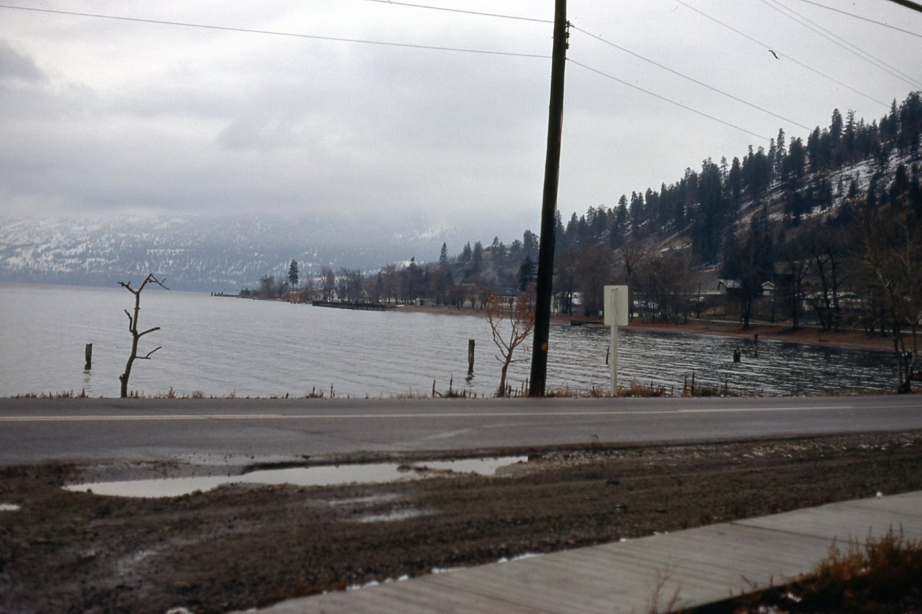
Peachland. You can see snow on the hillside nearby.
The next day, I drove to the offices of Alpine Helicopters in Kelowna, a quick 20-minute drive. I had flown a lot of hours with them over the last few years and it was good to see some old friends again. I told them I’d like to hire a small chopper for a short trip as soon as the weather allowed.
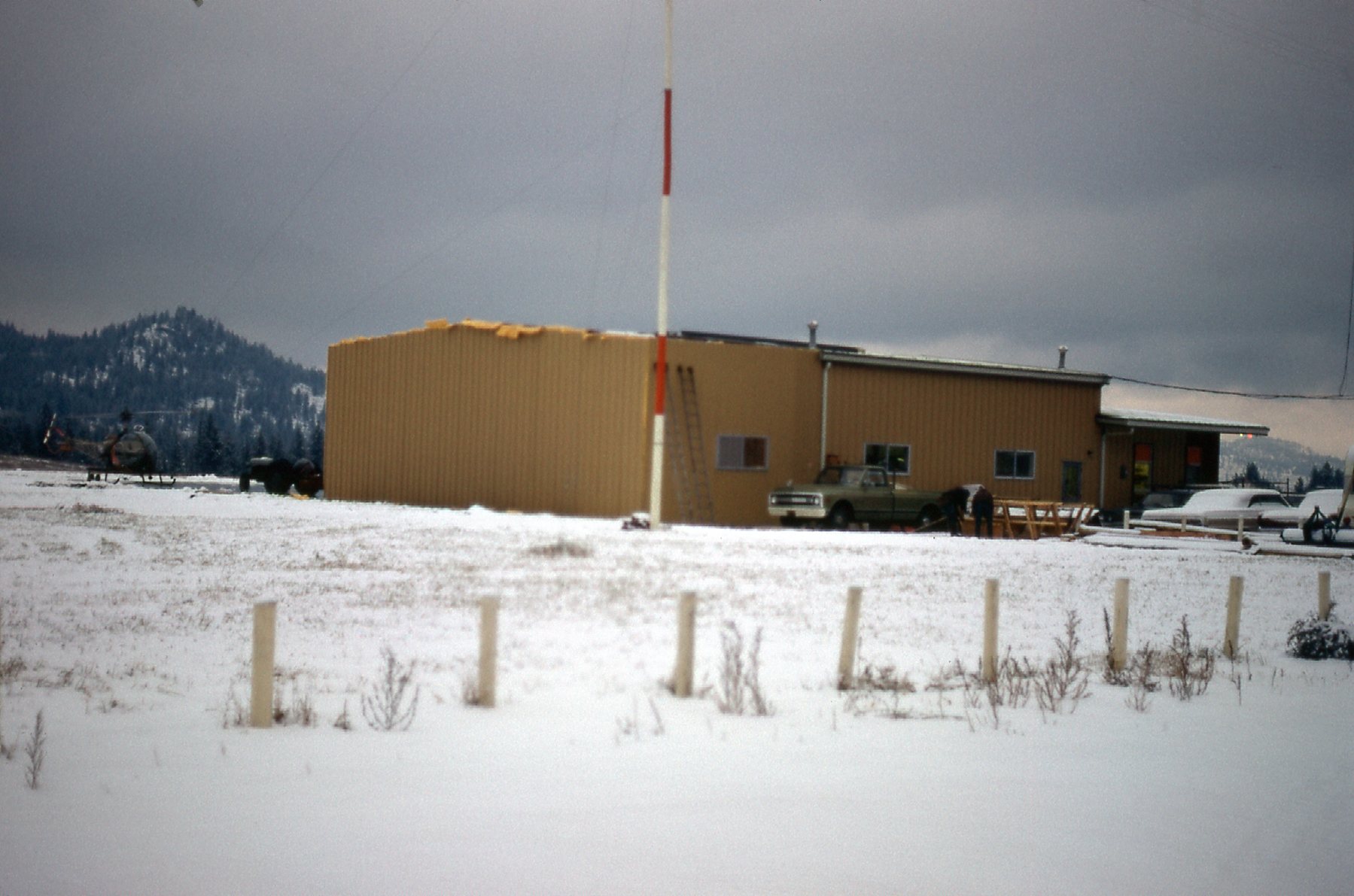
The base of Alpine Helicopters in Kelowna.
They said that’d be no problem, but they felt we wouldn’t have anything resembling flying weather for the next few days, especially since I needed to get up to a level almost 4,000 feet above Peachland. Okay, we can all be on standby until it breaks. I settled in to the motel. This was long before cable, so there was one channel on the television. I had brought my guitar along for the trip, and spent much of my time strumming away the hours. The nearby Peachland Cafe served basic fare, none of it memorable. The next day was cloudy, as was the next, but Alpine offered to try to fly me up Trepanier Creek so I could do my looking around. It was my 4th day there, and it was starting to wear. The chopper arrived and landed right on the lakeshore only a few feet from my lodgings. It was small, but just what I needed.
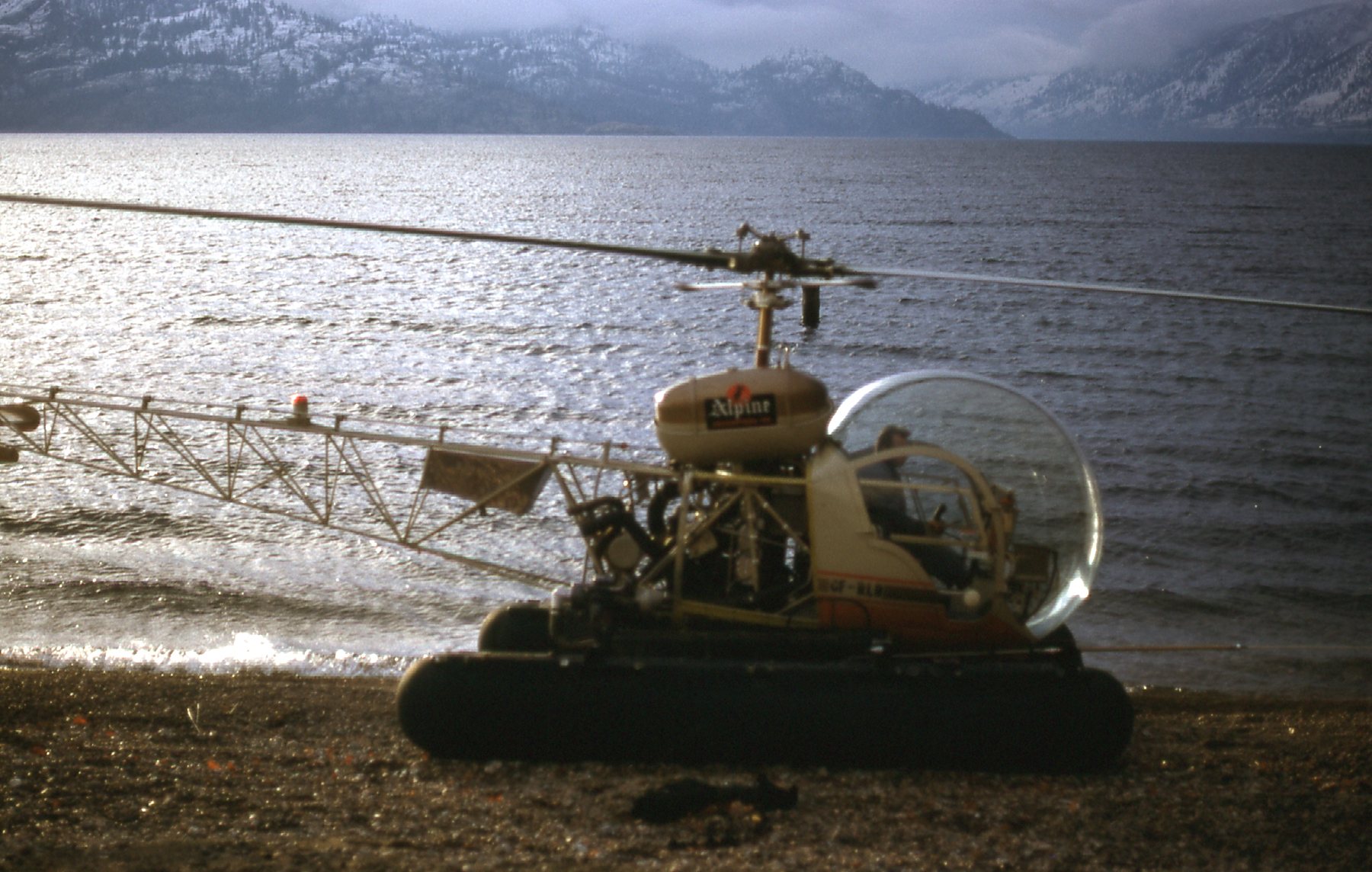
The Bell G3B1 of Alpine Helicopters.
I mentioned that the weather was iffy, but the pilot was game to give it a try. Away we went, flying west up Trépanier Creek. There was an old road below us, but covered deeply in snow – there was no way I’d consider driving it.
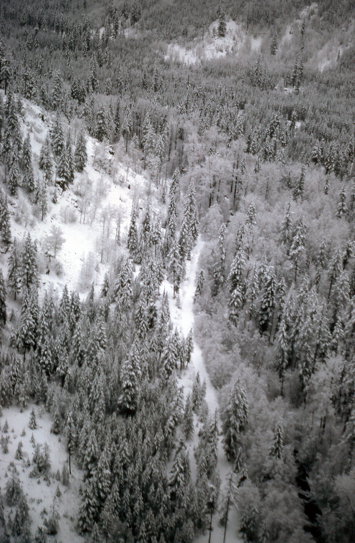
The road by Trepanier Creek
By the time we’d flown up to 3,000 feet, we’d pretty much reached the ceiling for safe flying for the day.
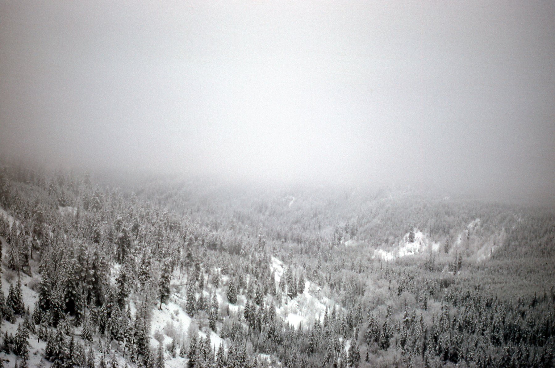
That was about it, Folks – we couldn’t go any higher.
We turned around, because my goal of reaching 5,000 feet was out of the question. Here was our view back down the valley.
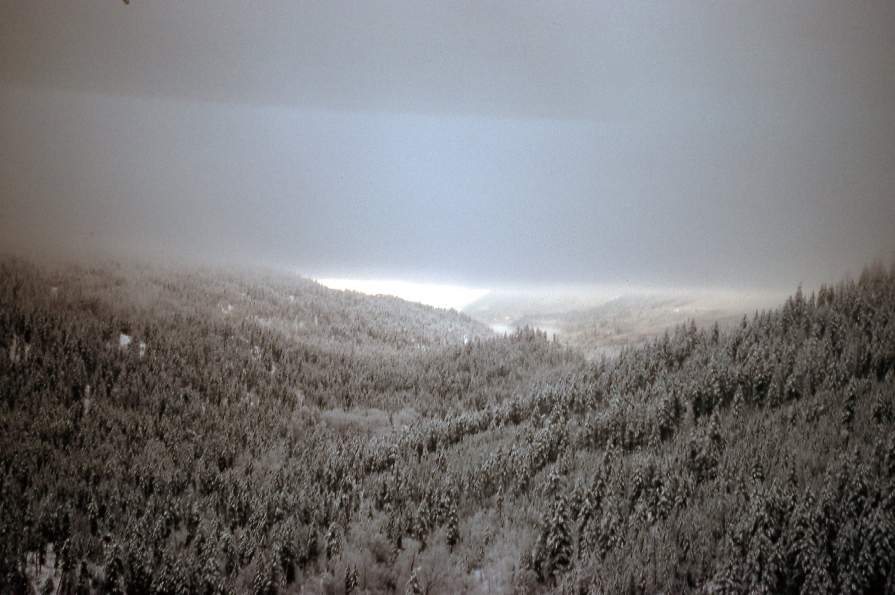
Looking back down the valley.
Soon, we had dropped a bit lower and could see daylight ahead.
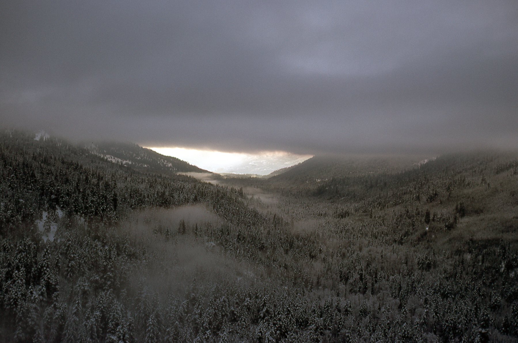
A bit lower
Lower yet and we could see the lake again.
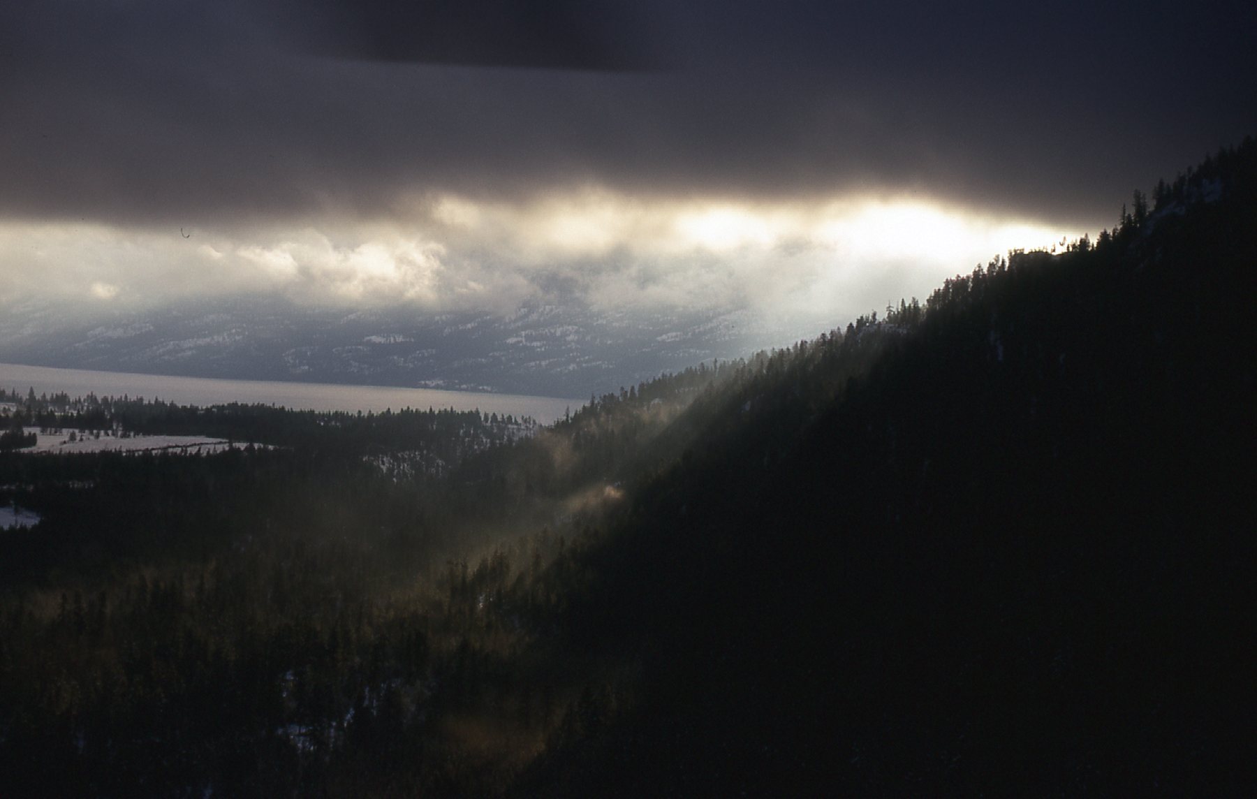
Okanagan Lake ahead.
Here was a good look at the village of Peachland as we descended.
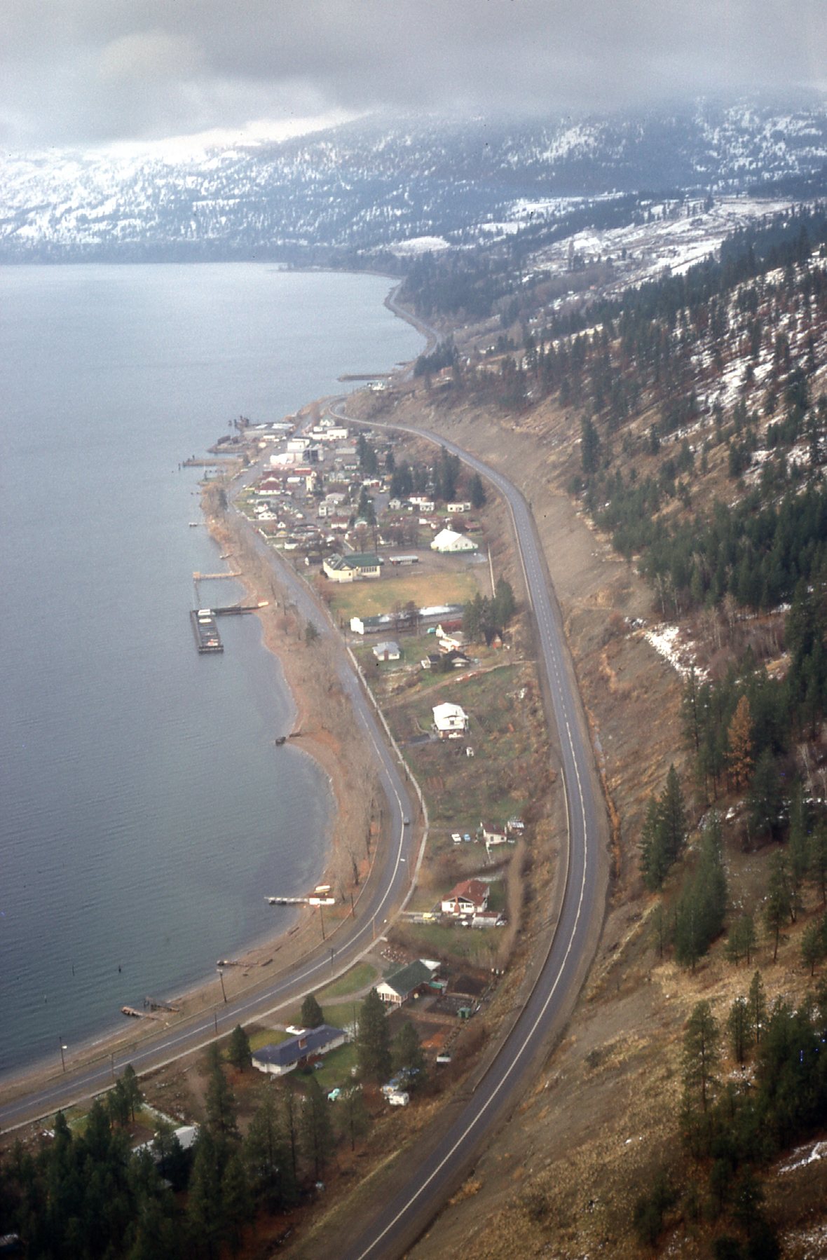
Peachland
Another view of the village.
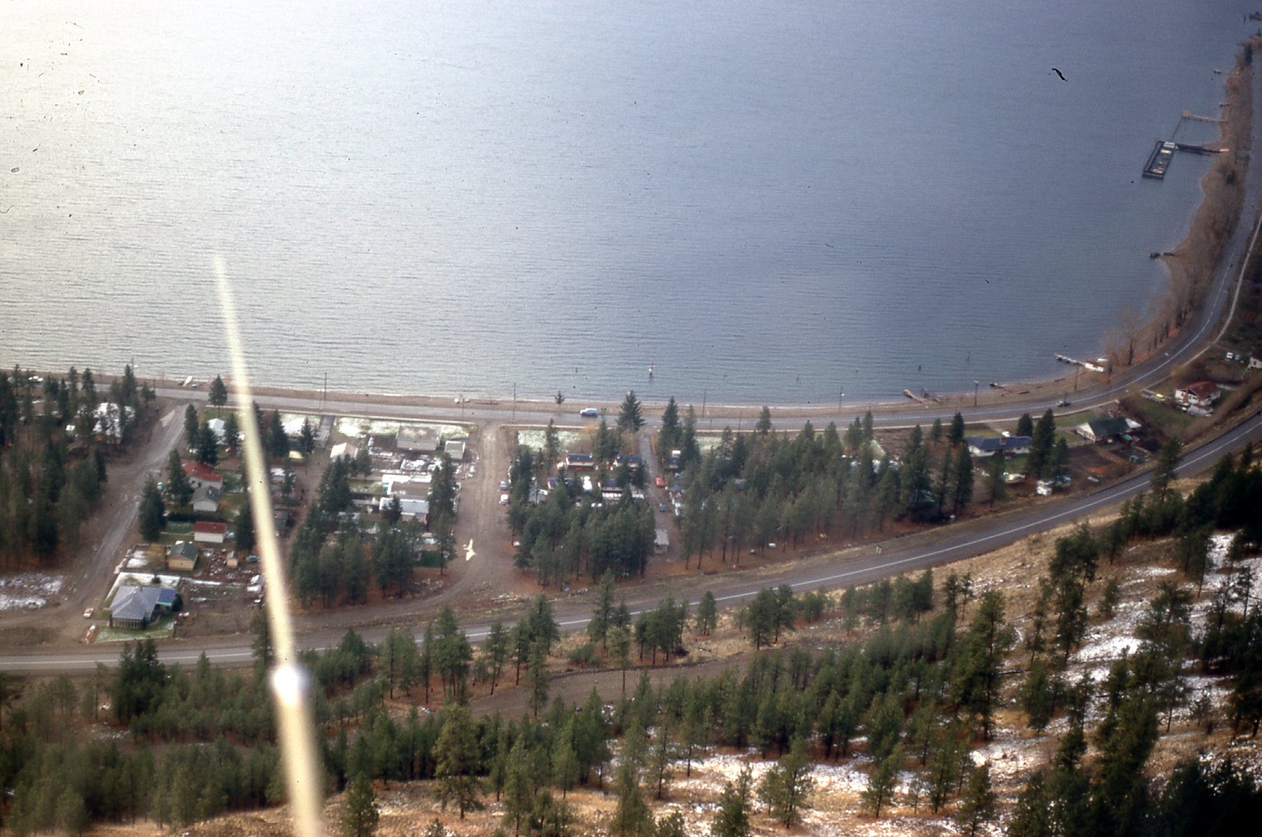
More of Peachland.
So much for my 4 days of hanging out and being bored to death in a place with nothing to do. I called my bosses in Vancouver and gave them the bad news update. They were getting antsy for some results, but realized that the weather was beyond our control. They told me to hang in there and keep hoping for a break (I was really hoping that they’d say to bag it and drive back to the coast).
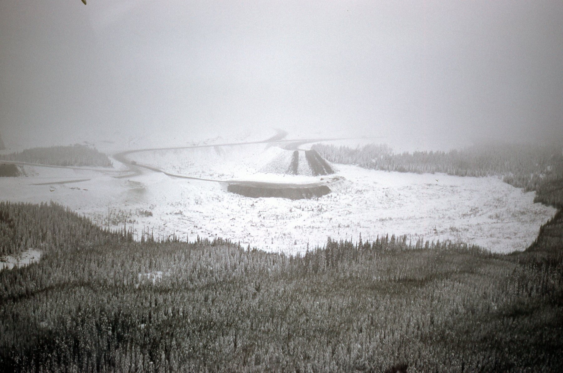
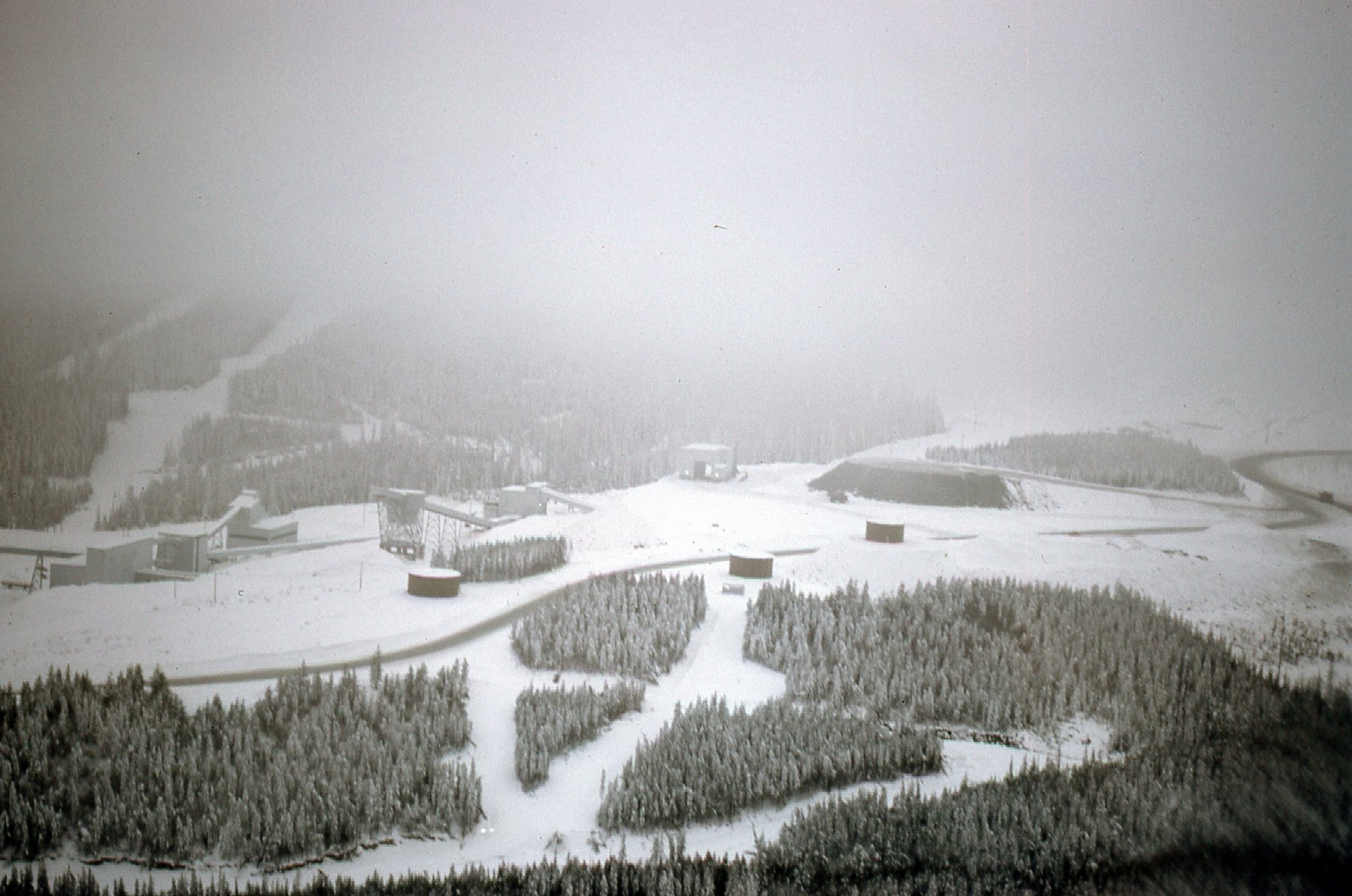
Day 5 offered the same unsettled weather, as did Day 6. By Day 7, I had to give it one last shot. I called Alpine and asked them to pick me up for another try. They did, and away we flew, this time getting higher than before. We made it up to 5,000 feet to the location of Brenda Mines new open pit copper and molybdenum mine, which had just begun production. Here are views we had of the mine from the helicopter.
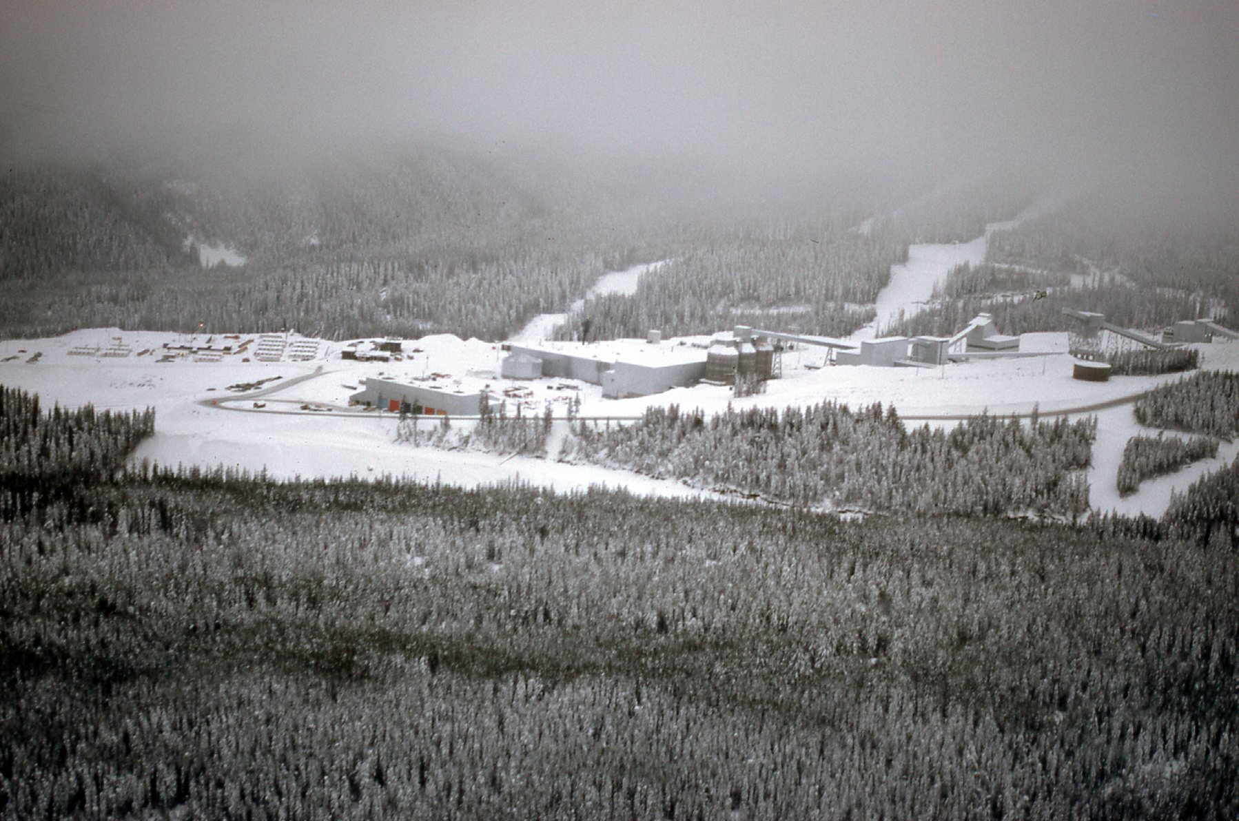
Brenda Mine
Another view
One more view.
I took those pictures of the mine for no other reason than to show my bosses that the snow was impossibly deep for me to go traipsing around and examining claims – I wouldn’t have been able to tell anything with any certainty. We didn’t even land, but instead just did an about-face and flew the 14 miles back to Peachland. I had done all I reasonably could, and I was glad to get out of there. On December 23rd of 1969 I drove back down to the coast. On the higher ground of the Hope-Princeton Highway I was driving through a terrific snowstorm as the plows weren’t able to keep up with the snowfall – I had the truck in 4-wheel-drive for many miles, and it was nerve-wracking. I was glad to be done with that miserable week in Peachland.
Too Late For Stitches
Several years ago, on my last big stealth climbing trip, I had an accident while climbing. A bunch of loose rocks rolled down and over me, and the worst damage was to my right arm. Fortunately, nothing was broken. My partner put one of those bandages on my hand to close a wound, but the back of my forearm was hurt worse. It was an odd injury – all the skin was ripped off but it didn’t bleed much. Instead, a lot of clear liquid kept oozing out for many hours (I learned it was plasma). Overnight, it sort of glued my shirtsleeve to the wound. Our climbing trip was certainly over, and by the time I made it back to town and to an urgent care center, the nurse who saw me said that too much time had passed since the accident (maybe 30 hours) for me to have stitches. She went on to say that stitches needed to be put in within 24 hours. Who knew? What followed were several visits to my GP over the next 2 weeks where they applied new medicine and bandages. It healed up okay, but to this day I bear a 3-inch scarred area where the injury occurred. Too late for stitches – it’s a real thing.
Where Are The Stealths?
A stealth climb is one where you are not allowed to climb a peak unless you first get permission. It could be on private land (such as on mining property, or on a ranch, or an Indian reservation). It could be on a military reservation – here in Arizona, just over 3 million acres of land is controlled by the military. Major sites include Yuma Proving Ground, Fort Huachuca, Luke AFB, Davis-Monthan AFB, and Marine Corps Air Station Yuma. Each of these areas have portions where the public might be allowed to go for recreational activities such as climbing, but there are also large tracts where such permission is not given, ever.
Approximately 28% of Arizona’s total land area is designated as Native American reservation land, representing the highest percentage of any state in the U.S. Here are some of the largest reservations:
-
Navajo Reservation – approximately 16 million acres. It is the largest reservation in the U.S.
- Tohono O’odham Reservation – about 2.8 million acres.
-
San Carlos Apache Reservation – roughly 1.8 million acres.
- Gila River Indian Community – roughly 372,000 acres.
-
Kaibab Indian Reservation – approximately 120,000 acres.
The Navajo and Apache reservations do issue permits for certain areas for recreational activities, but they are the exception – most other reservations are quite closed to outsiders. That doesn’t mean that climbers haven’t sneaked on to the reservations to climb their peaks – in fact, they have. The Tohono O’odham reservation boasts 400 different peaks, but nowadays only allows outsiders to climb one of them – Baboquivari Peak. All of the others are off-limits, yet all of them have been climbed in the past. Nowadays, laws against trespassing on their land are strictly enforced, so all of their peaks could now be considered stealth climbs.
BLM lands (12.1 million acres) and Arizona State Trust lands (9.2 million acres) are pretty much all accessible to the public, so their peaks are not stealths. Privately-held lands, such as ranches, farms and mines, as well as lands within cities and towns, require permission by the owners to climb their peaks, which is sometimes given if you ask nicely. Arizona has 22 national parks and monuments, with over 30 million acres of total federal, state, and private protected lands. There’s not much need to be stealthy in those places, as climbing is usually allowed. The same goes for the 11.2 million acres of national forest in Arizona. So where are the majority of those stealth climbs found? You guessed it – the military reservations. Let’s take a closer look.
The Yuma Proving Ground, operated by the US Army, holds a wealth of stealthing potential. In particular, the area west of US Highway 95 is thick with possibilities. The Middle Mountains and the Trigo Mountains have plenty of targets, as do the Chocolate Mountains. In fact, there are not less than 111 distinct peaks out there, a great many of them long distances from any practical starting point. The vast majority are unclimbed and so difficult of access that thoughts of climbing them will have you waking up in a cold sweat in the middle of the night. There is a chunk of the YPG that wraps around the south and east sides of the Kofa National Wildlife Refuge which also has peaks. The 20 or so peaks on the south side remain untouched. On the east side, there are 19 peaks in the Tank and Palomas Mountains – all stealths, all climbed, but all worth repeat visits.
South of Interstate 8 sits the vast Barry M. Goldwater Air Force Range, around 2 million acres. Within it, the Butler Mountains contain only 4 peaks, and all are stealths. The Copper Mountains, the Gila Mountains, the Tinajas Altas Mountains and the Cabeza Prieta Mountains are all open to the public, so no stealths there. The Tule Mountains, the Sierra Arida, the Sierra Pinta, the Bryan Mountains, the Agua Dulce Mountains – all are open to the public, so none of them are stealths, but some of their peaks are so hard to reach that many have seen only one ascent. East of the Mohawk Mountains, things are different.
The entirety of the Aguila Mountains are off-limits, all of their 13 peaks. The high point has been stealthed by several peakbaggers, and the other 12 have only been climbed once. Serious stealthing in there, Folks. The northernmost 8 peaks of the Granite Mountains fall within the BMG, and may not be off-limits to the public, but are so hard to reach that few will ever try. They’ve all been climbed, though. The northernmost 2 peaks of the Growler Mountains are definitely off-limits, as is the solitary Okie Benchmark. That brings us to the Crater Mountains. Ahhh, the Craters. Their 13 peaks west of Arizona Highway are SO off-limits that it brings a tear to your eyes just contemplating them – stealthing heaven. Two of the summits in the northern end of the Childs Mountain complex are also off-limits.
Now we come to the Sauceda Mountains. This is one fine range indeed. At its northern end, the White Hills are off-limits. Considering the rest of the range, parts of it are always open to the public with a permit. Other parts are often open on weekends when the Air Force isn’t active there. Ah, but now we come to the Tactical Area – it is never open to the public, and I mean never. All of its peaks are stealths. Exciting stuff goes on in there, like shooting and dropping big bombs. There are 23 peaks in that group, all stealths. Farther east lie the Sand Tank Mountains, which contain 24 true stealths as they too are on the bombing range. In all of the Saucedas and the Sand Tanks, only 3 peaks remain unclimbed, but all are worthy of repeat visits.