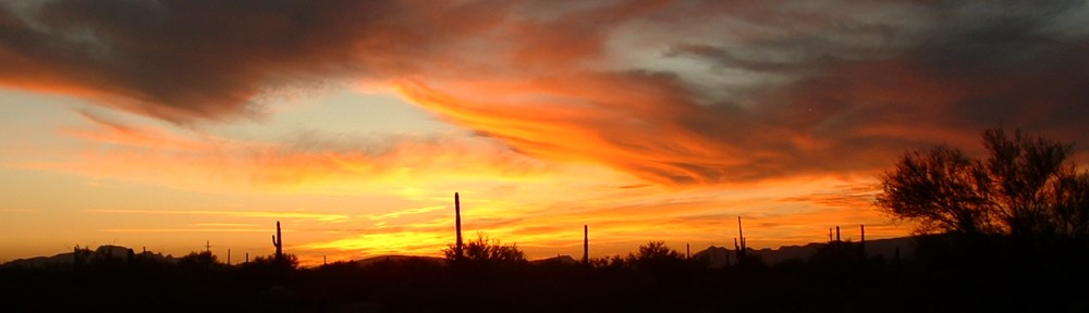
In southern Arizona, about halfway between Gila Bend on the west and Casa Grande on the east sits an area called the Vekol Valley. This valley extends north of Interstate 8 for about 7 miles, and south of the Interstate for 17 miles down to the Vekol Mountains. I had my eye on some peaks in the north end of the valley, and on April 29th of 2018 I headed in there to climb them. The mistake I made was heading in there too late in the day. In late April, it can get plenty hot in the low desert.
By the time I’d driven the 82 miles of freeway from my house to the Vekol Road exit, the afternoon was wearing on. Another 8 miles north and west on dirt roads out in the desert took me to a quiet spot where I parked. My first peak loomed above the valley out to the west in plain sight, and once I shouldered my day pack, it was already 3:30 PM. Fortunately, I didn’t have far to go – it was already 92 degrees. As I walked across the desert floor, I felt the heat. I entered a canyon and gradually climbed to the northwest, getting into more open country the higher I went. The heat was getting to me, slowing me down. By the time I reached the top of Peak 2940, it was 4:50 PM. It had taken me an hour and 20 minutes to climb 1,240 vertical feet. I found some trash left by indocumentados, and left my own register.
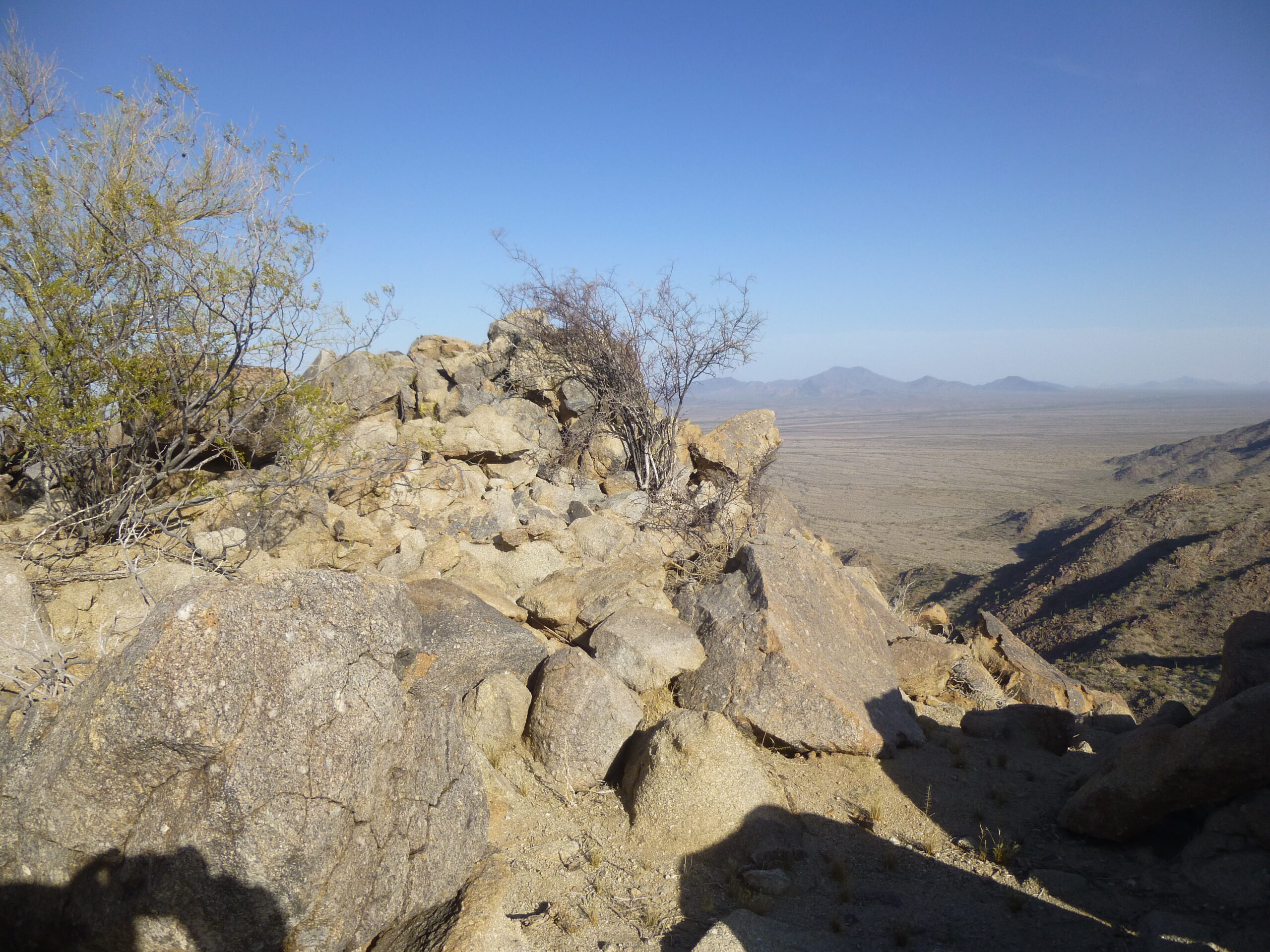
The summit. Just to the right of the bushes, on the far horizon, we see a large peak. It is called Table Top, and it is 16 miles away to the southeast.
I had a good view of nearby Peak 2970 to the south, only a kilometer away. It’s the one with the long ridge and the 2 sides with dark shadows in the middle distance.
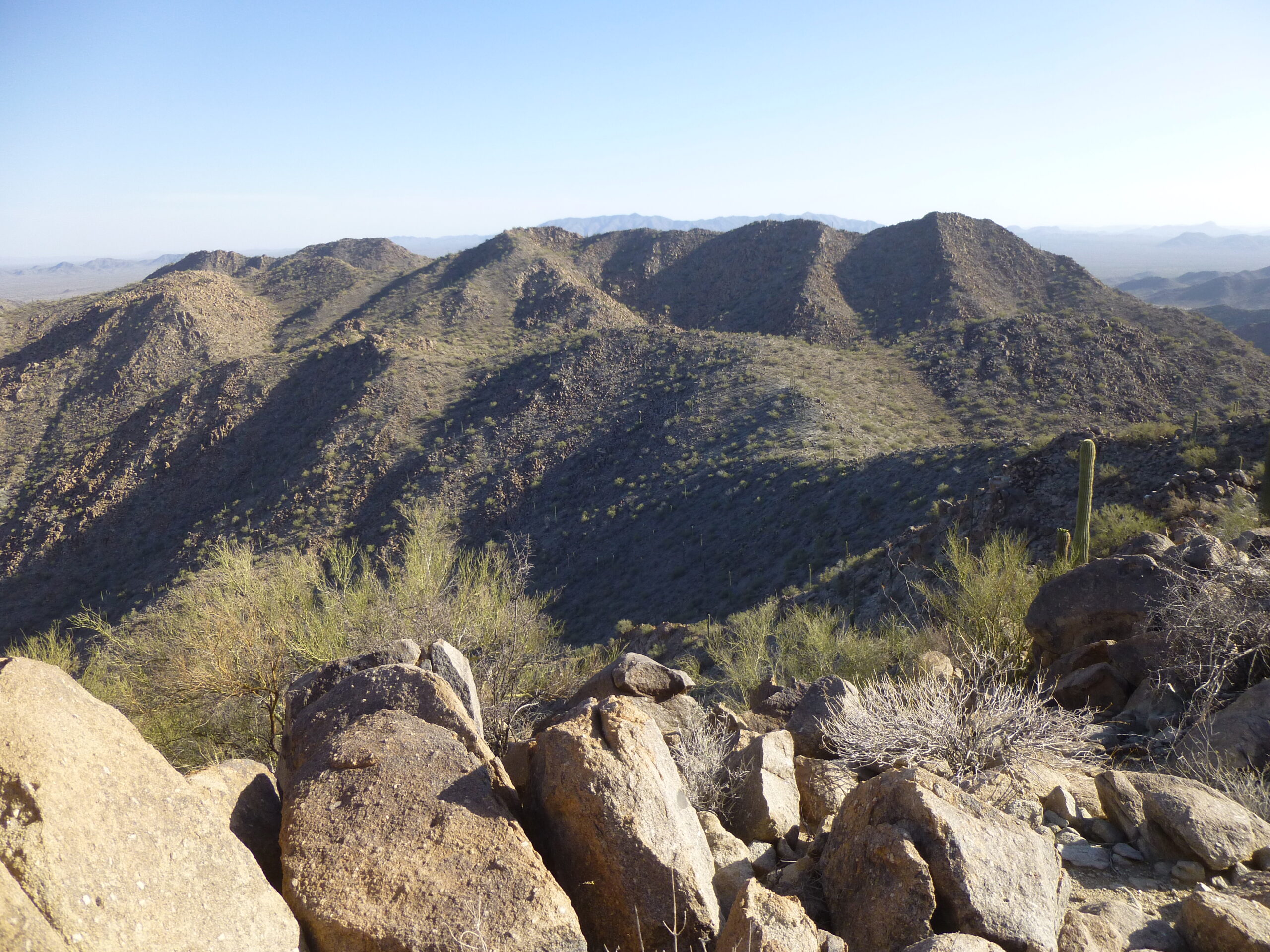
Looking south to Peak 2970
Also from the summit, I had this view to the distant Sierra Estrella, about 25 miles away to the north.
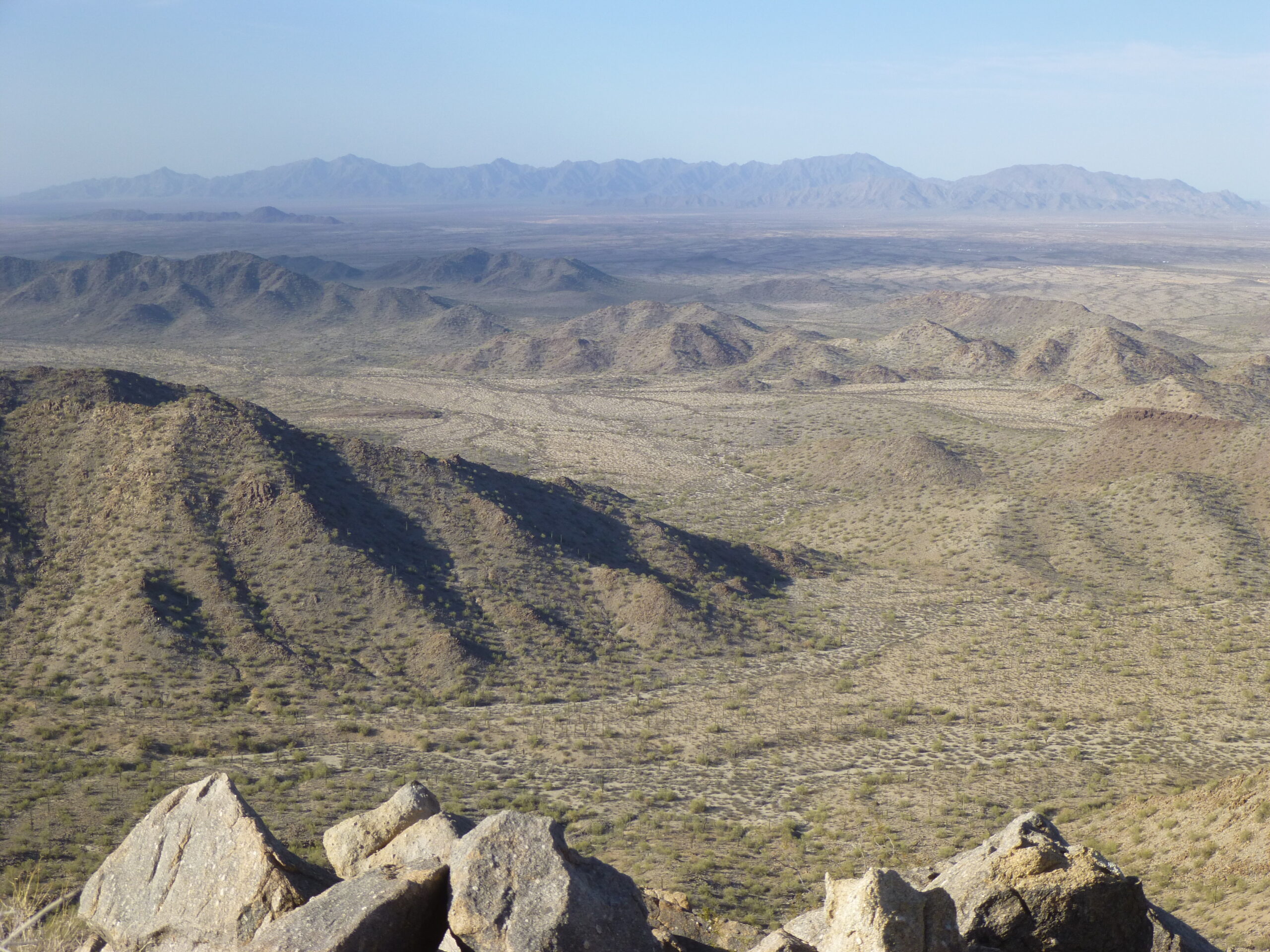
A view to the north.
I spent almost 20 minutes on the summit, then started back down. Once in the canyon, I had this look back – that hill is shown as Point 2100 (interpolated) just to the north of the canyon.
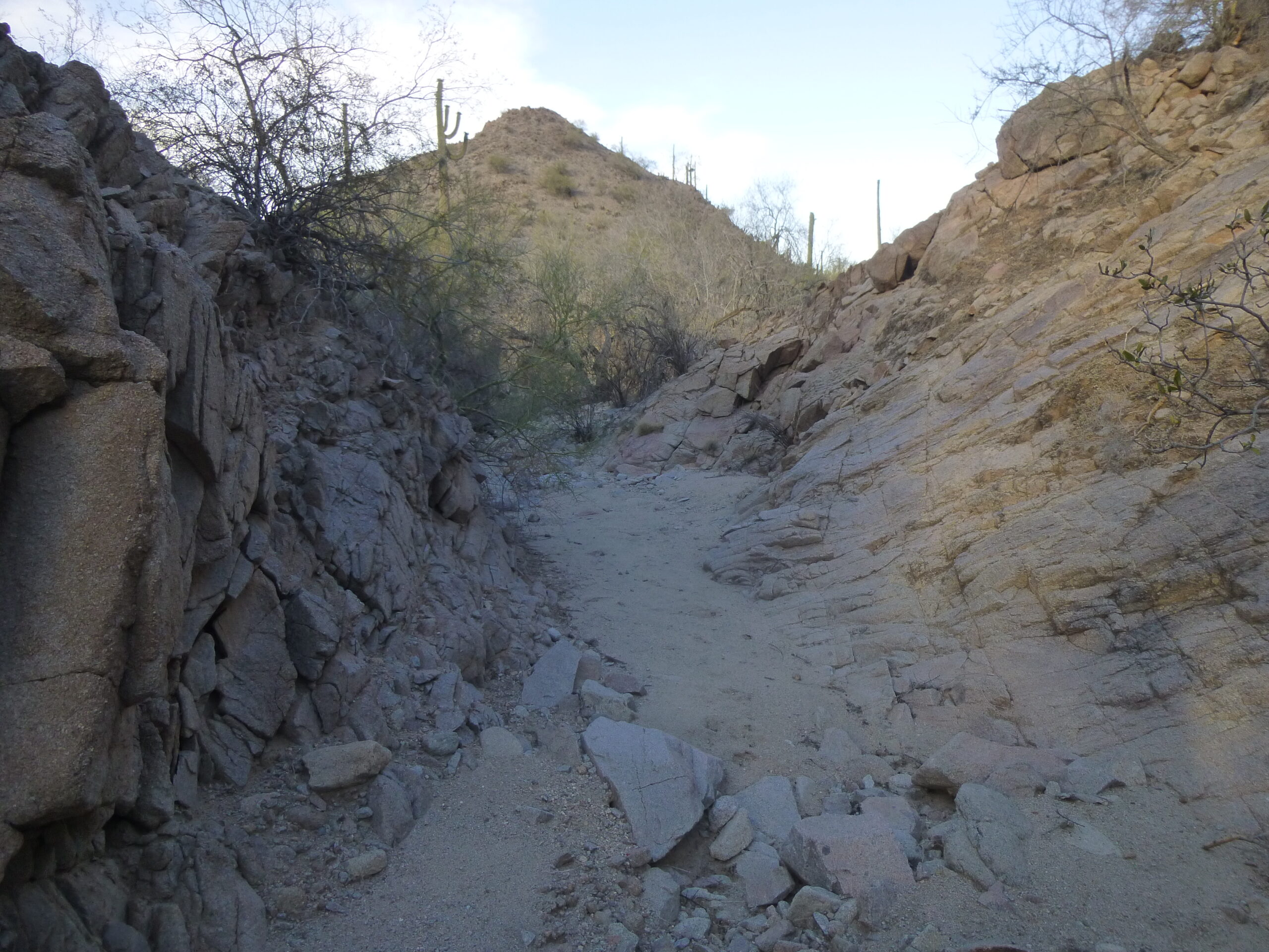
That is Point 2100 just left of center.
Here’s looking east down the canyon as I headed back to my truck.
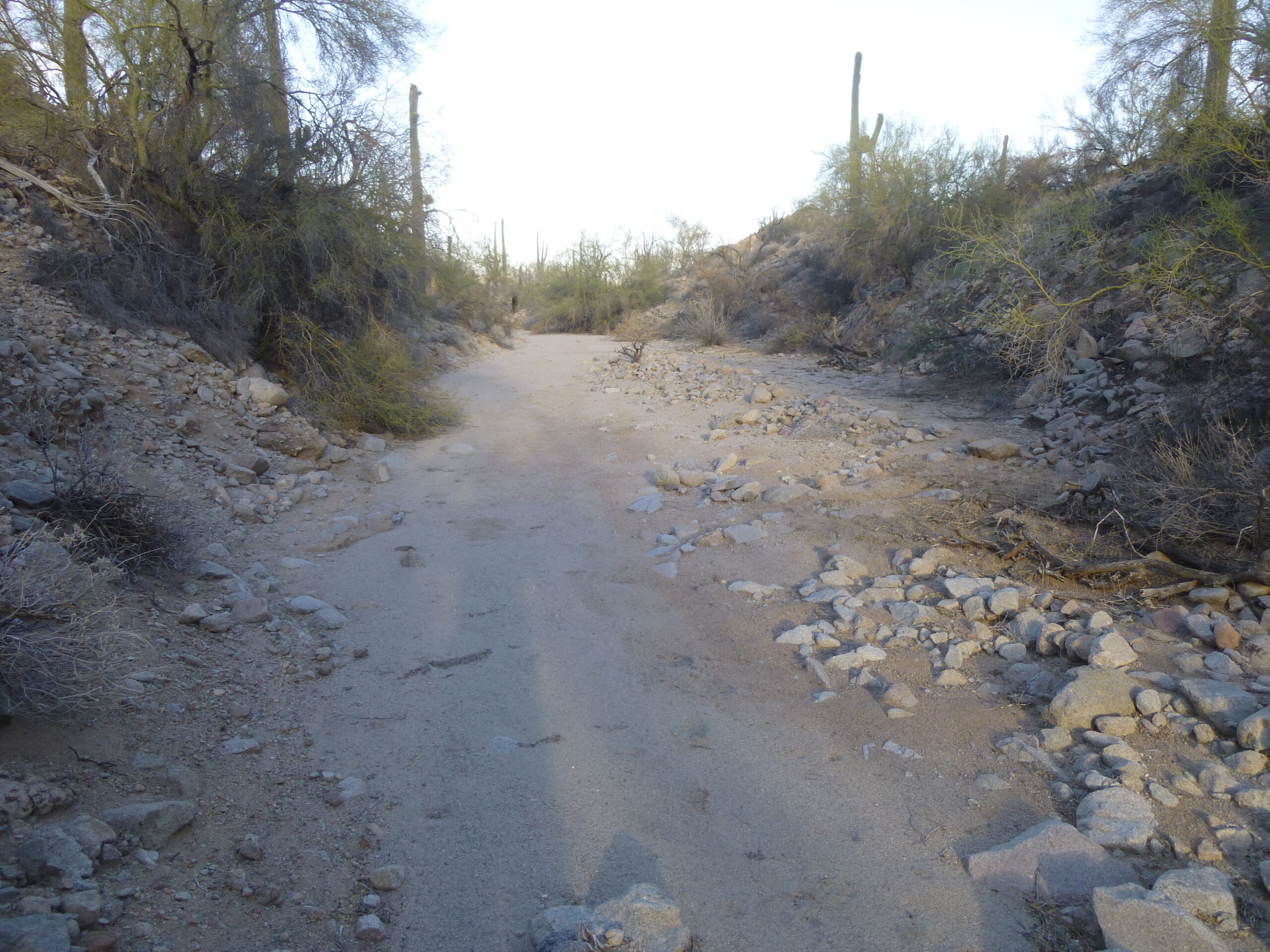
Looking east down the last part of the canyon.
Once the canyon spit me out on to the desert floor, I had this last look back west.
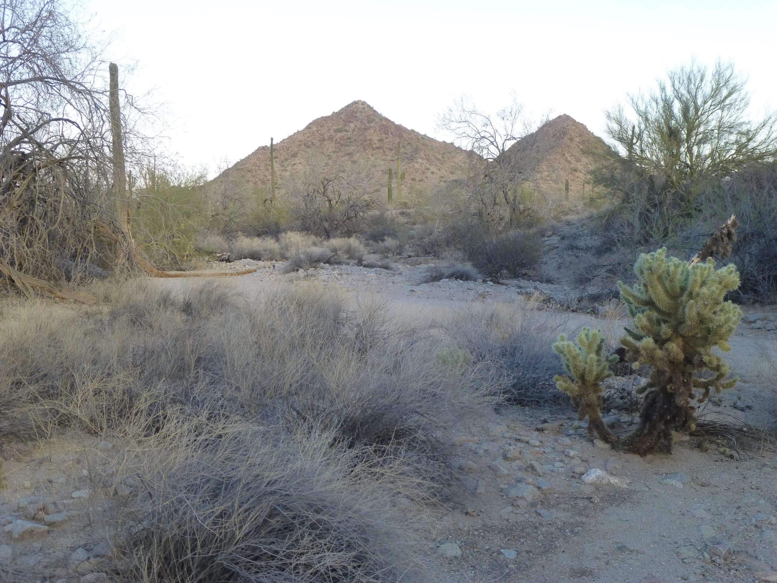
That’s Peak 2940 in the center and Point 2100 to its right.
By the time I got back to my truck, it was 6:14 PM. There were more peaks I wanted to climb the next day, but I didn’t want to go all the way back to Tucson and then return – because the next ones weren’t far away, I decided to camp there in the Vekol Valley. A few miles to the north, by Benchmark 1608, I found the perfect spot, beside a little-used dirt road in an excellent position for me to start tomorrow’s climbs.
The next morning, I was awake early. I left the truck right where I had camped overnight, and started on foot at 5:25 AM, before sunrise. The first order of business was to climb over some low 100-foot hills, and that’s when I had a good view of my first peak.
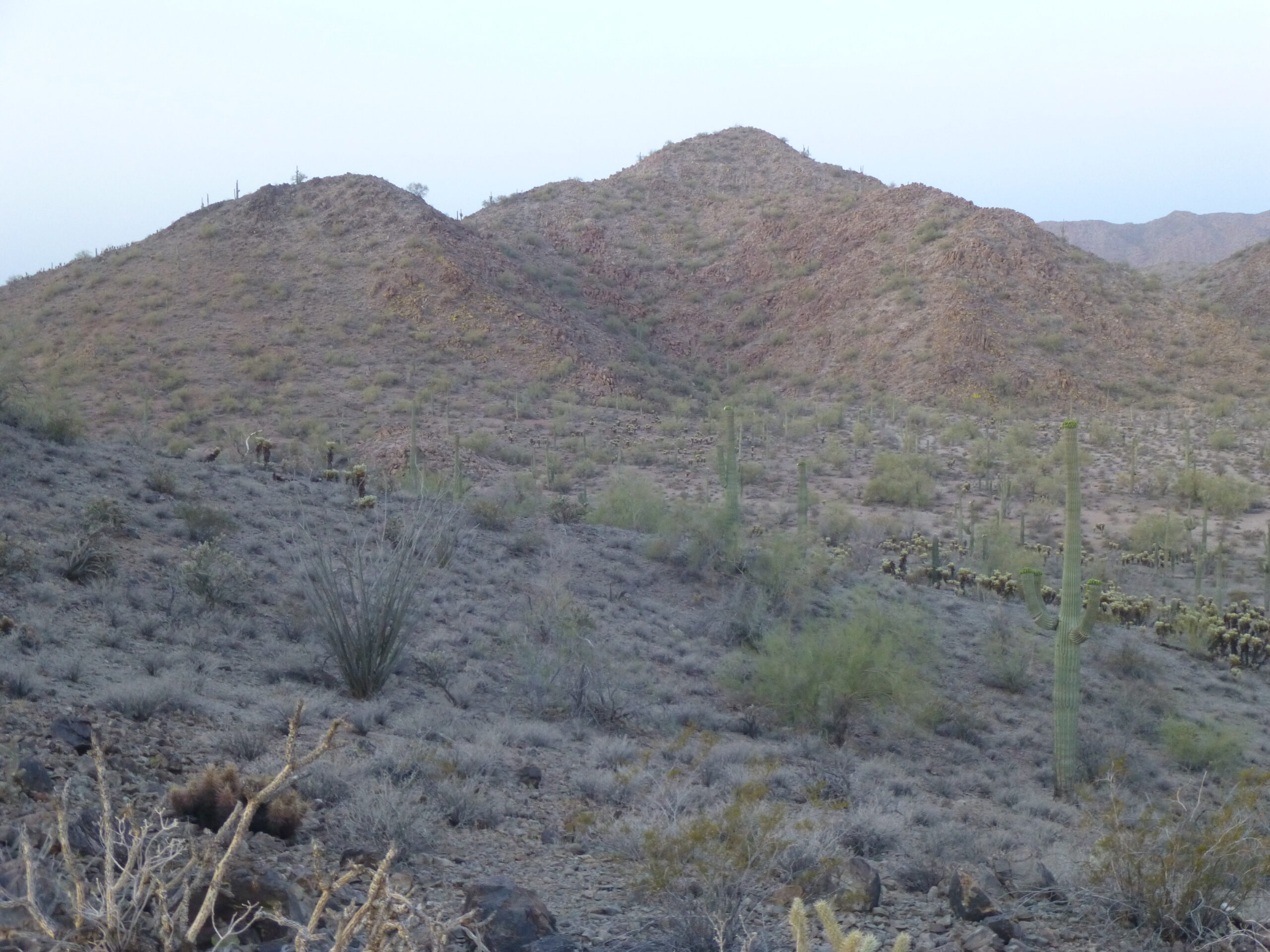
Looking SSE to my first Peak 2100.
Once back down on the desert floor, I saw the moon setting over a nearby ridge.
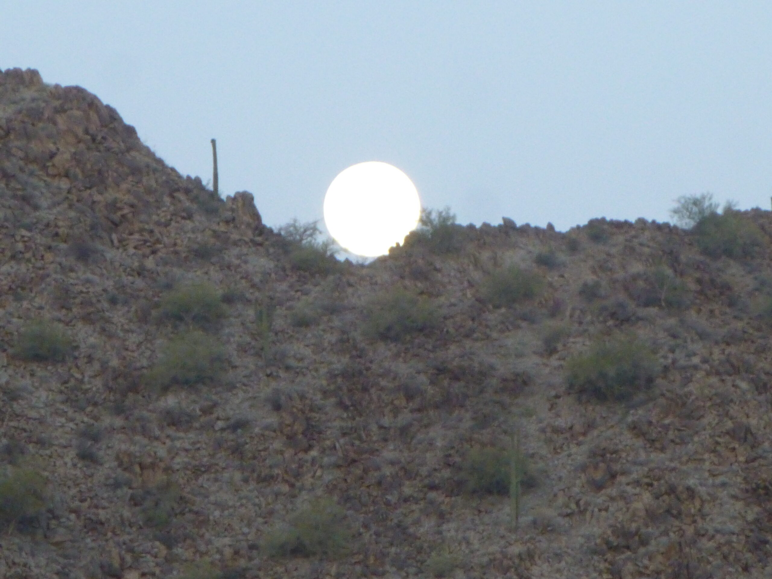
The setting moon.
I made it over to my first peak and was climbing its northeast ridge when the sun rose.
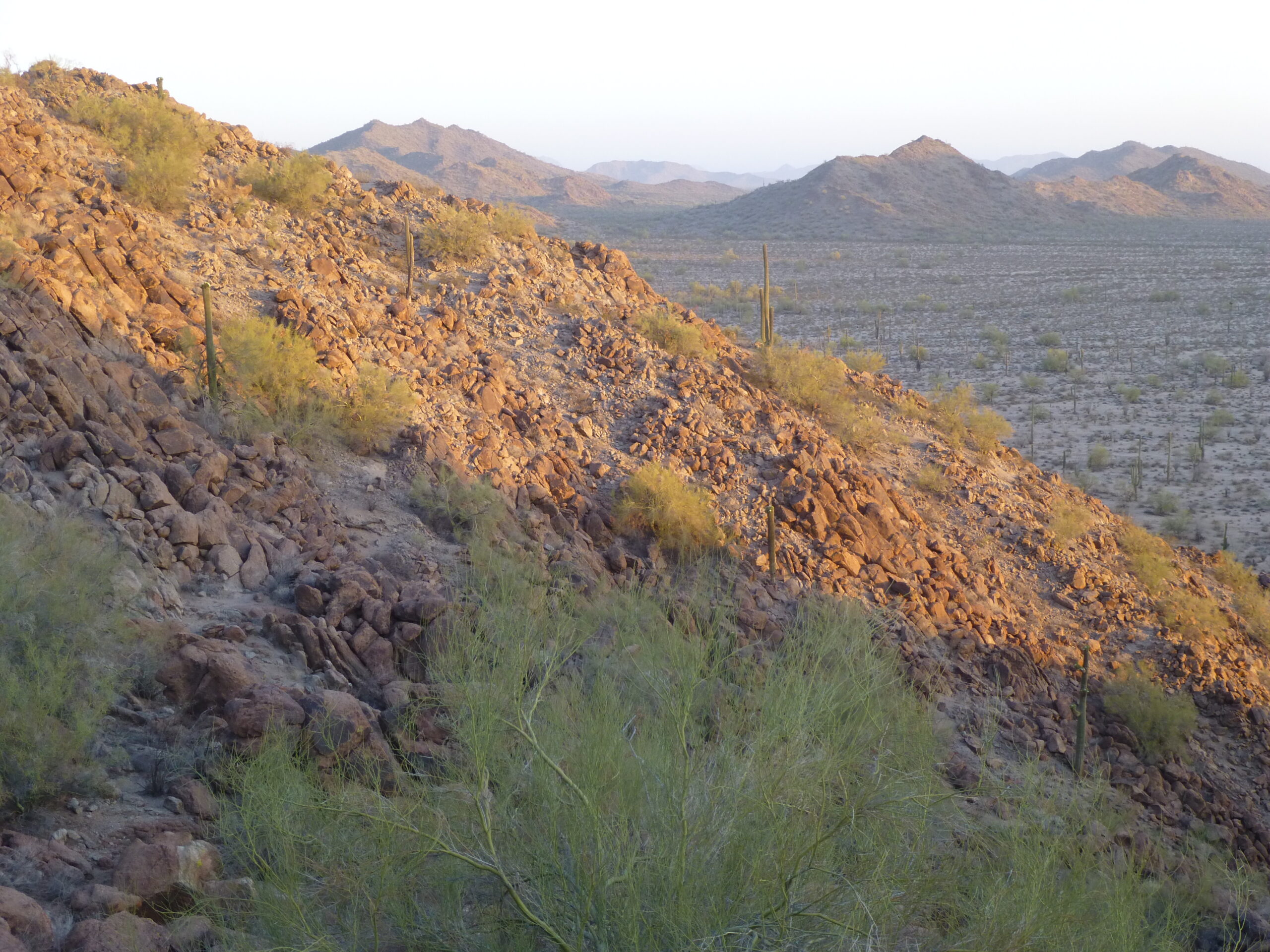
Looking north in the early morning light.
From the ridge, I had a good view to the summit a short distance away. I love this time of day, the cool of the morning in the desert before the heat builds.
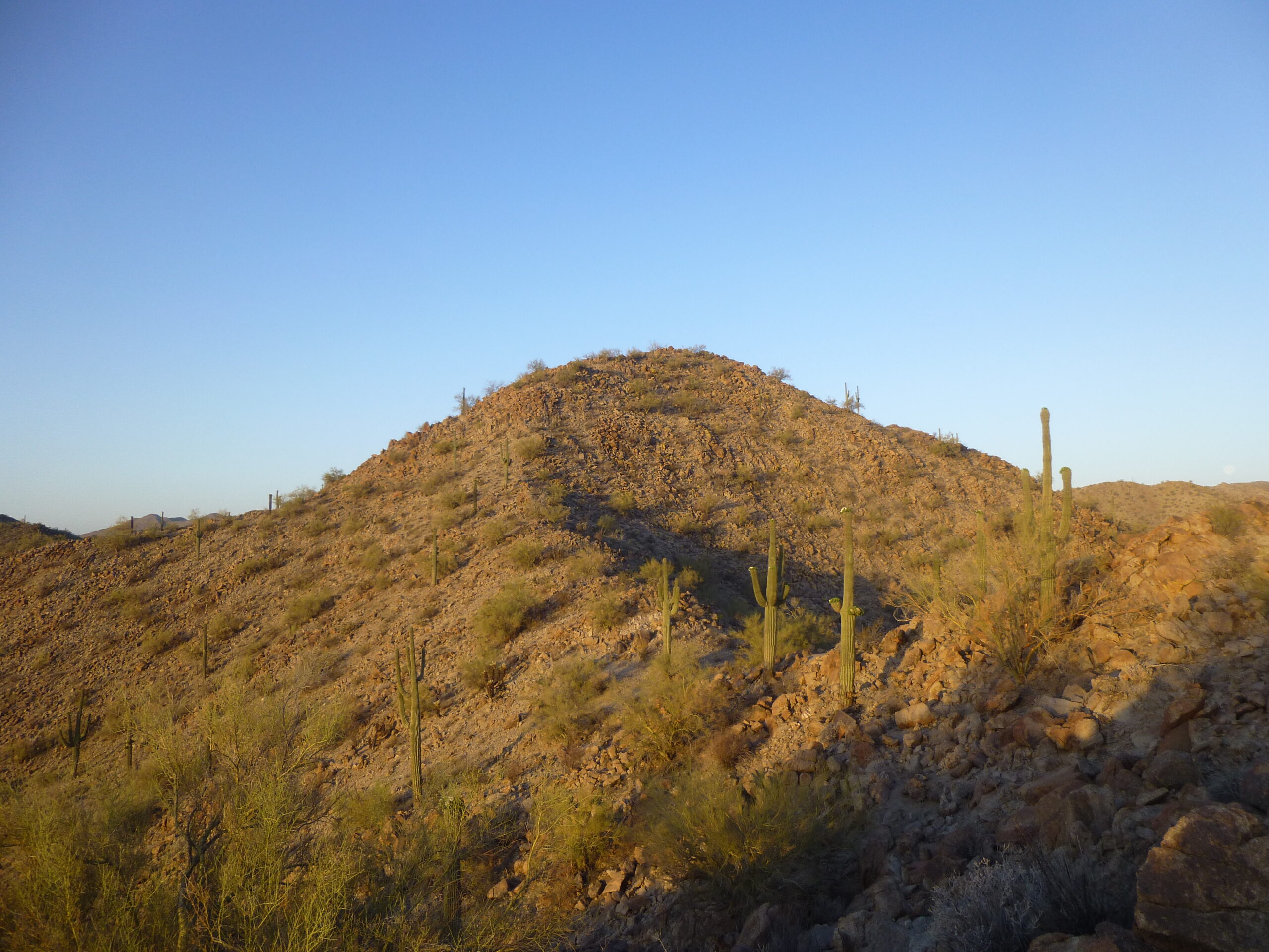
Peak 2100
My first 2 peaks of the day were the same elevation, each 2,100 feet, so I am calling this one Peak 2100 #1. Here’s what the summit looked like.
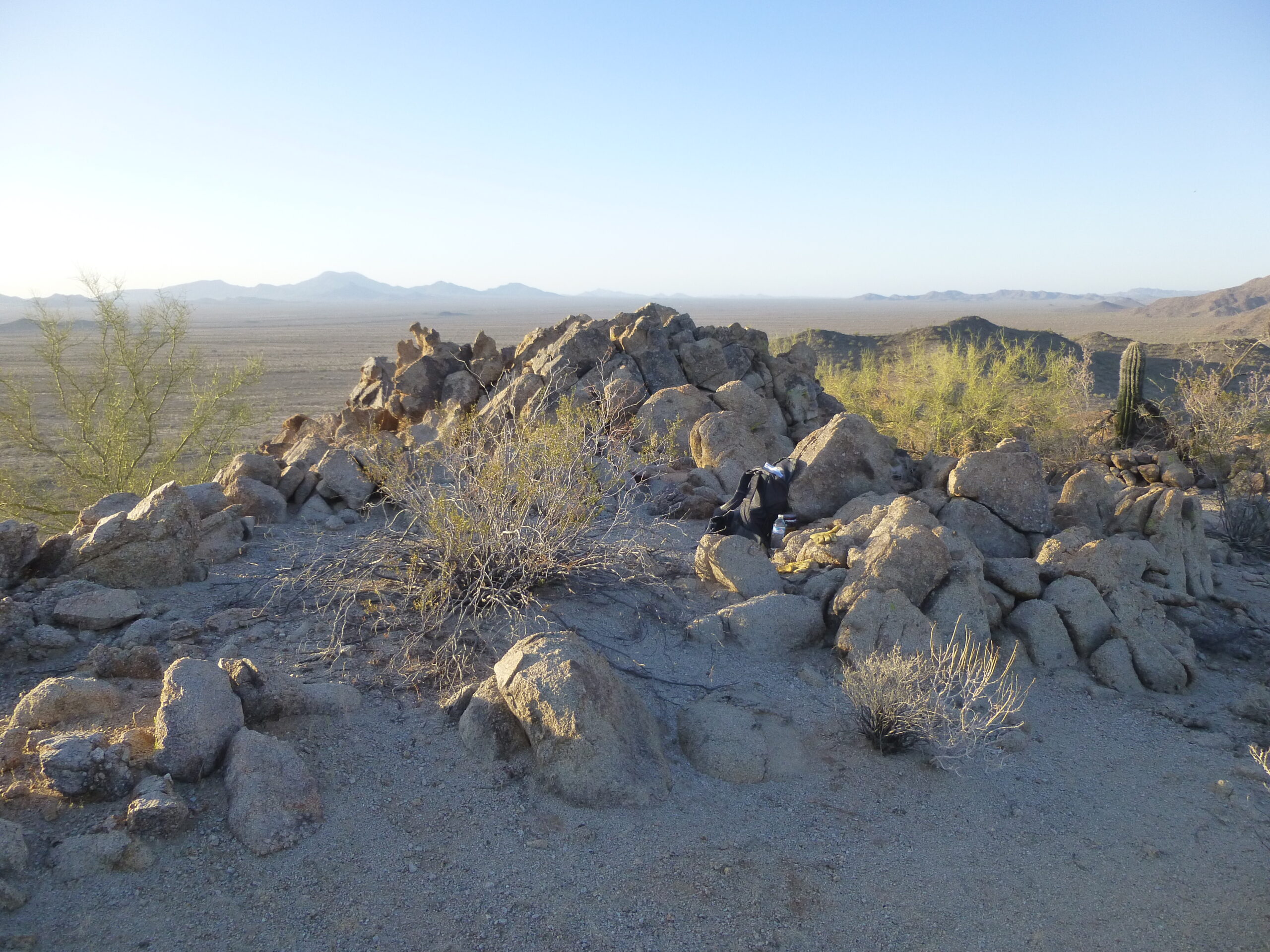
Looking south across the summit. On the left side of the far horizon can be seen the Table Top Mountains, 16 miles away.
I reached the top at 6:21AM, prepared a register and left after just 12 minutes up there. On the way down, I had this look at my next peak, only a short distance away. When back on the desert floor, I had this view to the south, enjoying the shade.
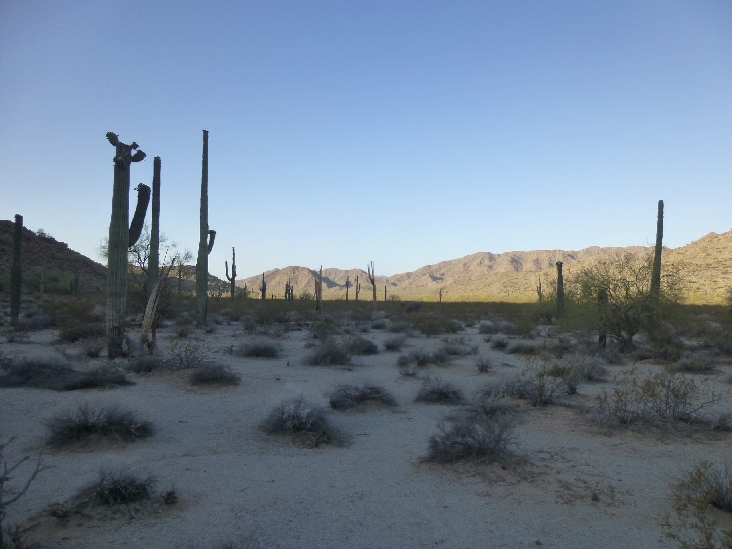
Looking south to the eastern edge of the Maricopa Mountains.
Here was a look at my next objective – it had the same elevation as the first one, so I am calling it Peak 2100 #2.
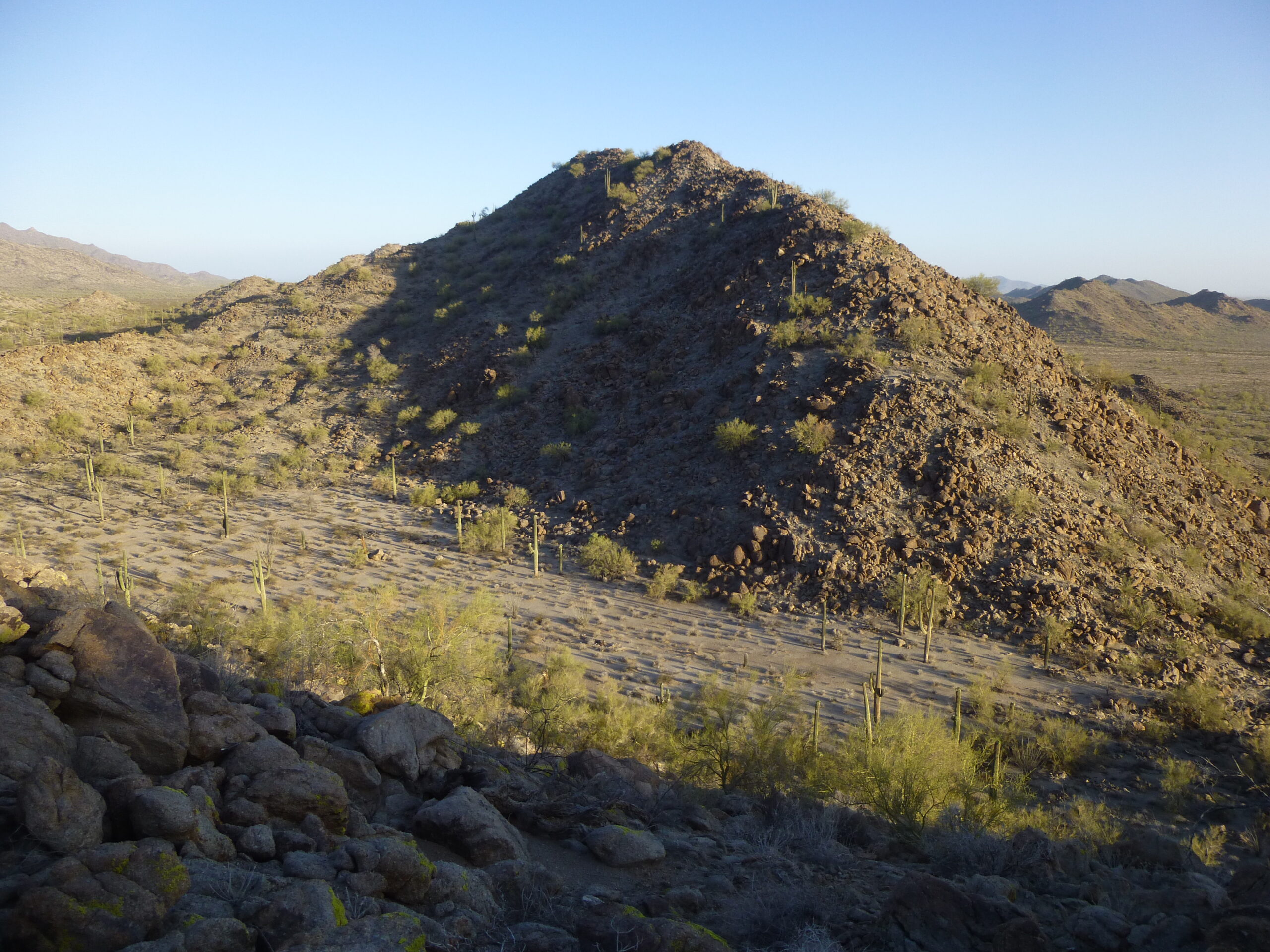
Looking northwest to Peak 2100 #2
Of course, I found that once I gained the summit ridge, it was a series of bumps, and only by the time I’d reached the 4th one could I safely say that I had reached the highest point (the 4th, if anyone is counting).
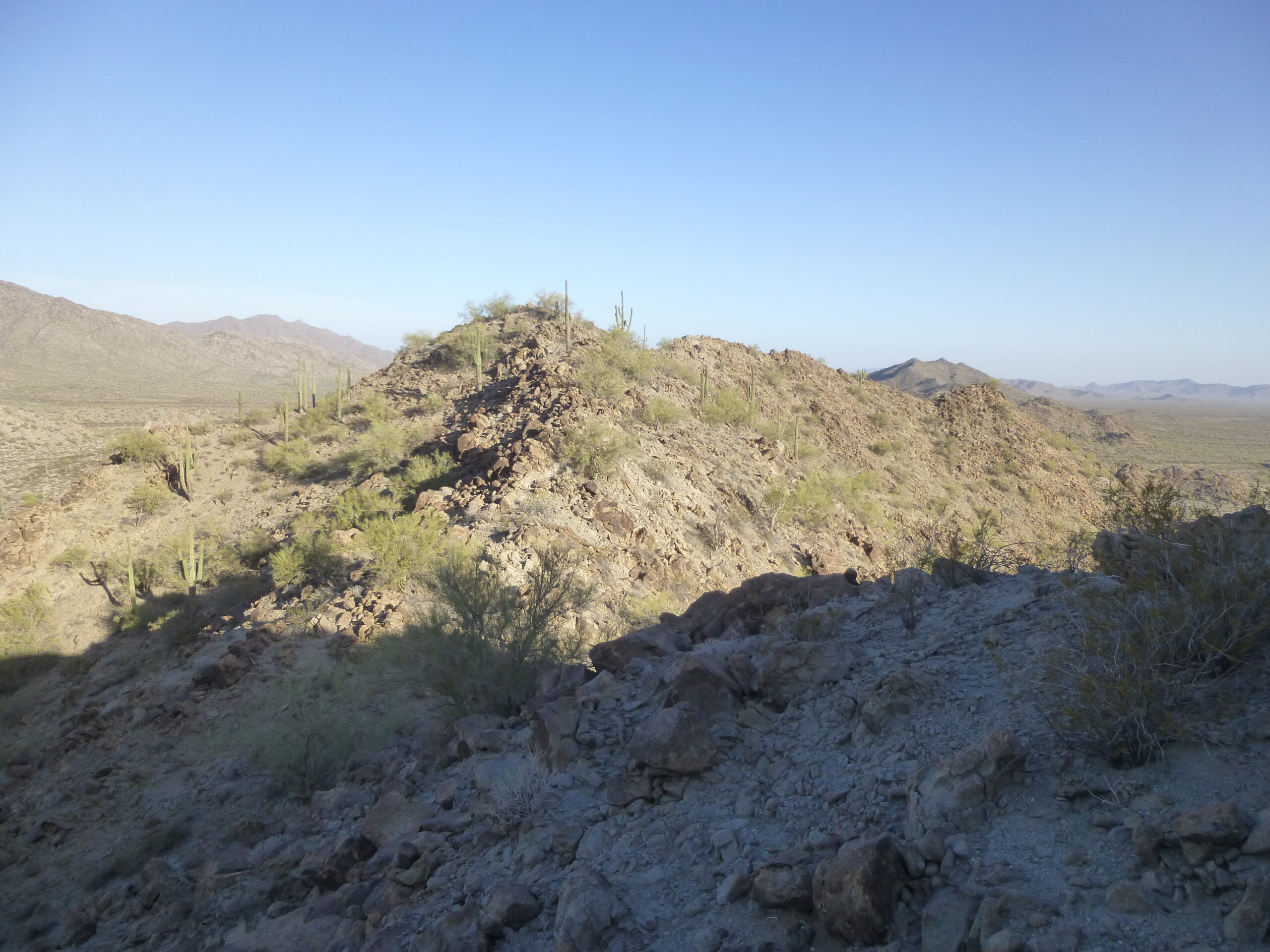
Looking northwest along the summit ridge of Peak 2100 #2.
Here’s what I found when I reached the top of the peak. I left a register and built a cairn around it.
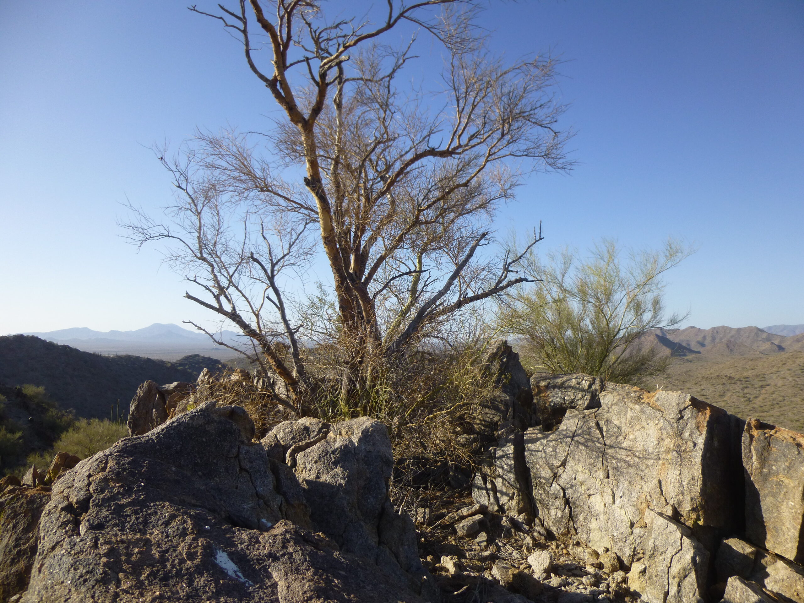
The summit of Peak 2100 #2
Out to the west, only 2 miles away, sat the much taller Jinx Benchmark.
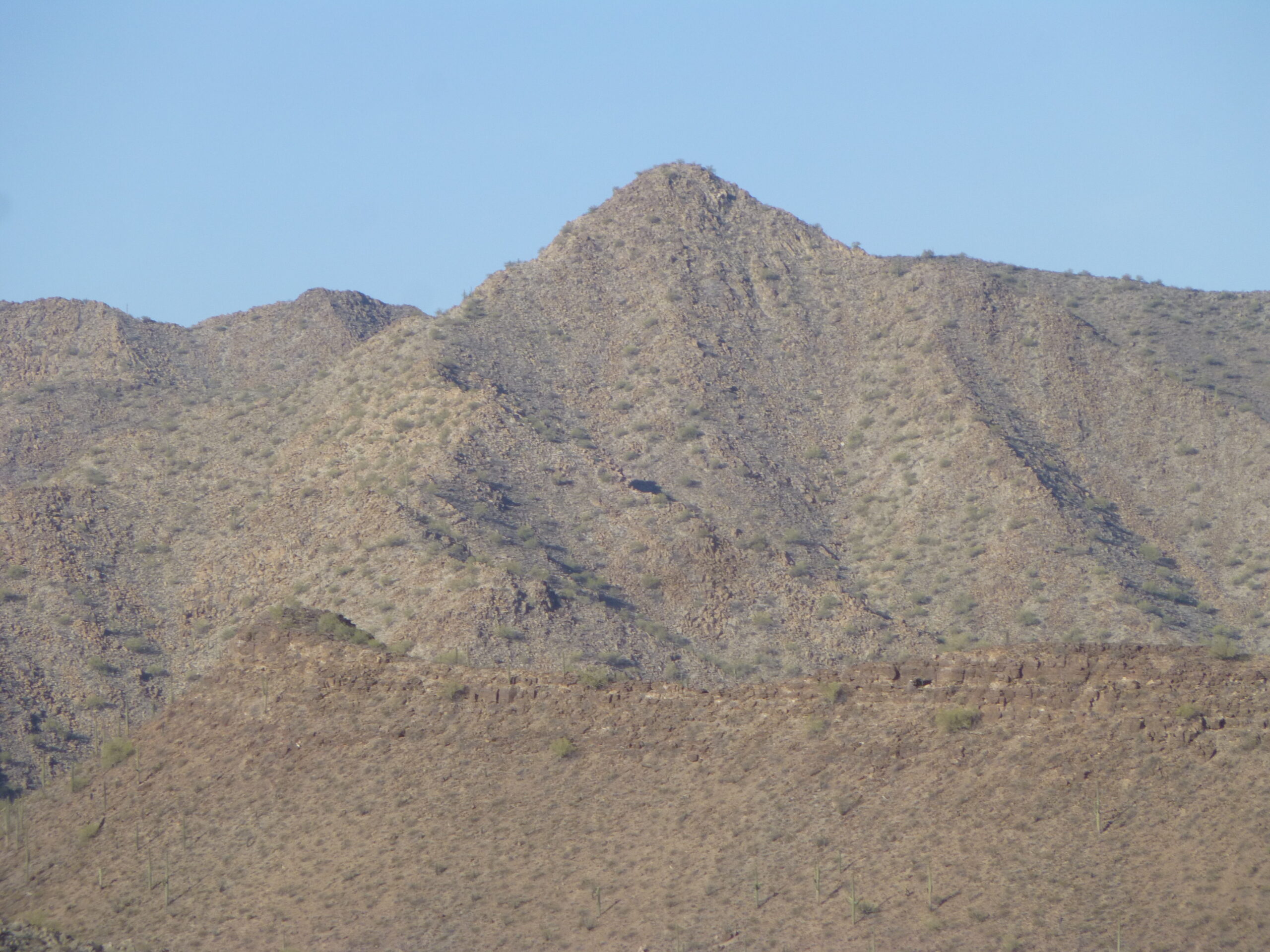
Jinx Benchmark
It was 7:15 AM by the time I reached the summit of my second peak, and I left 20 minutes later, but not before taking these pictures of my next 2 objectives. This one is Peak 1940.
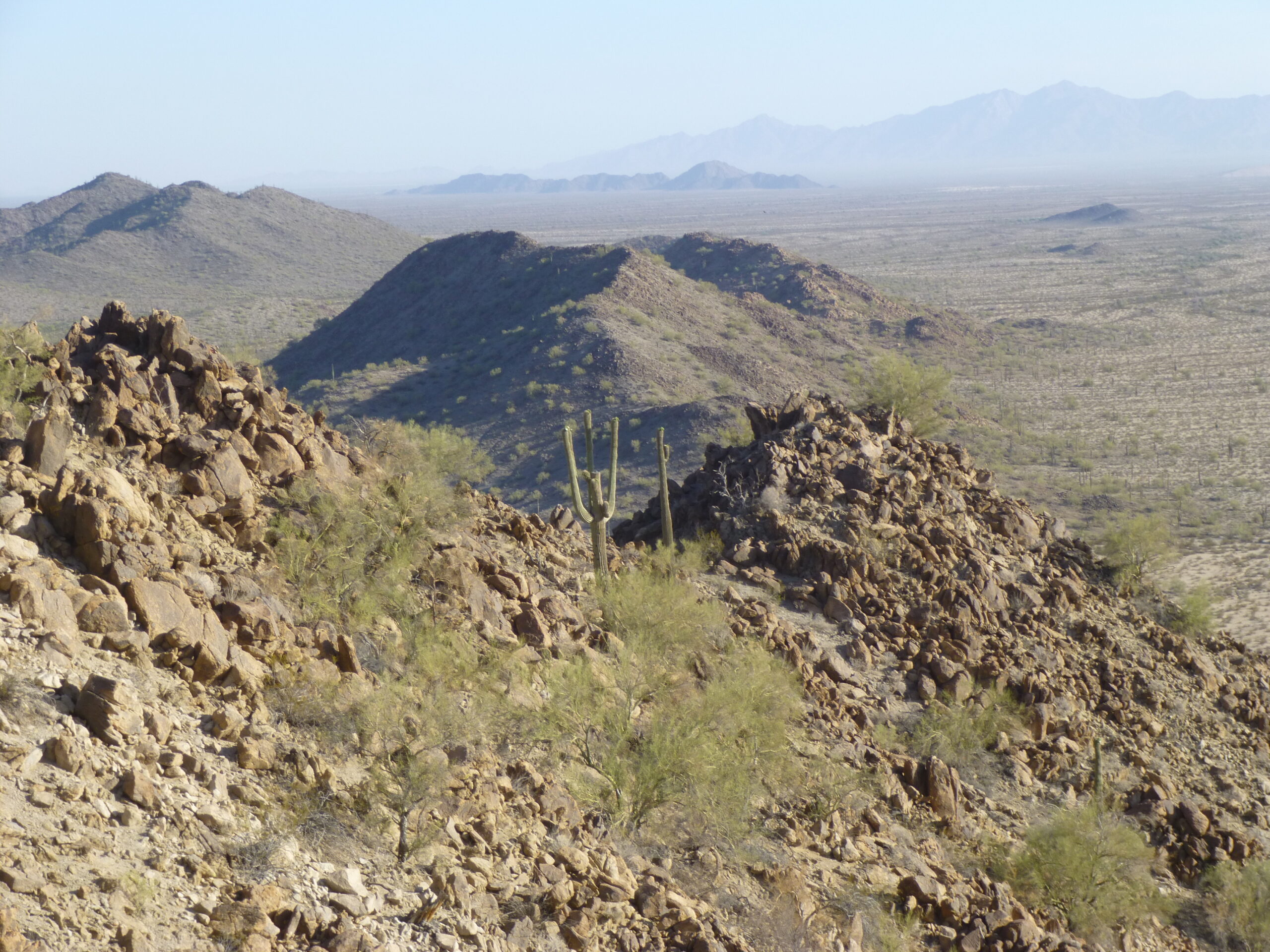
That’s Peak 1940 down there, lower, and in the middle of the photo.
And this one would be my last of the group of 4, Peak 2050.
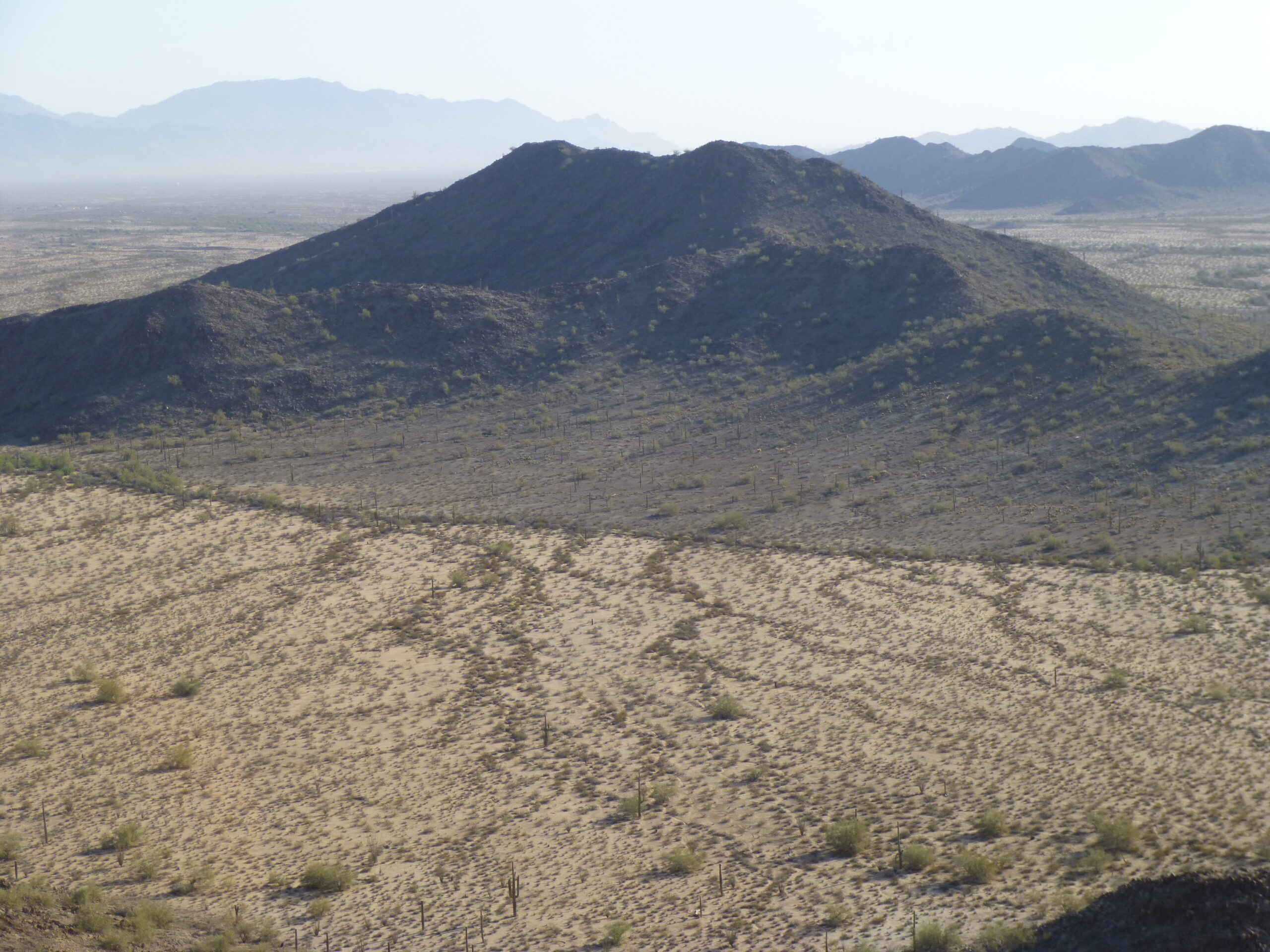
Looking NNE to Peak 2050
Once I dropped back down to the desert floor, I had this view of my next peak.
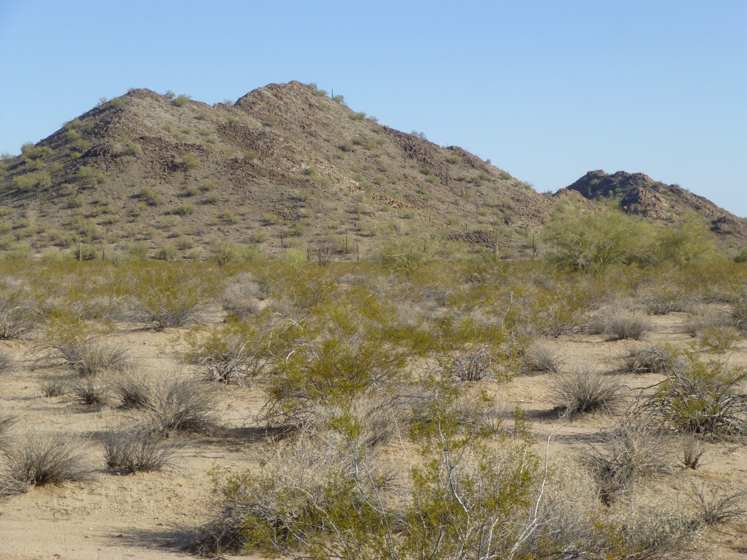
Looking northwest to Peak 1940
I also had this view back to my first 2 peaks.
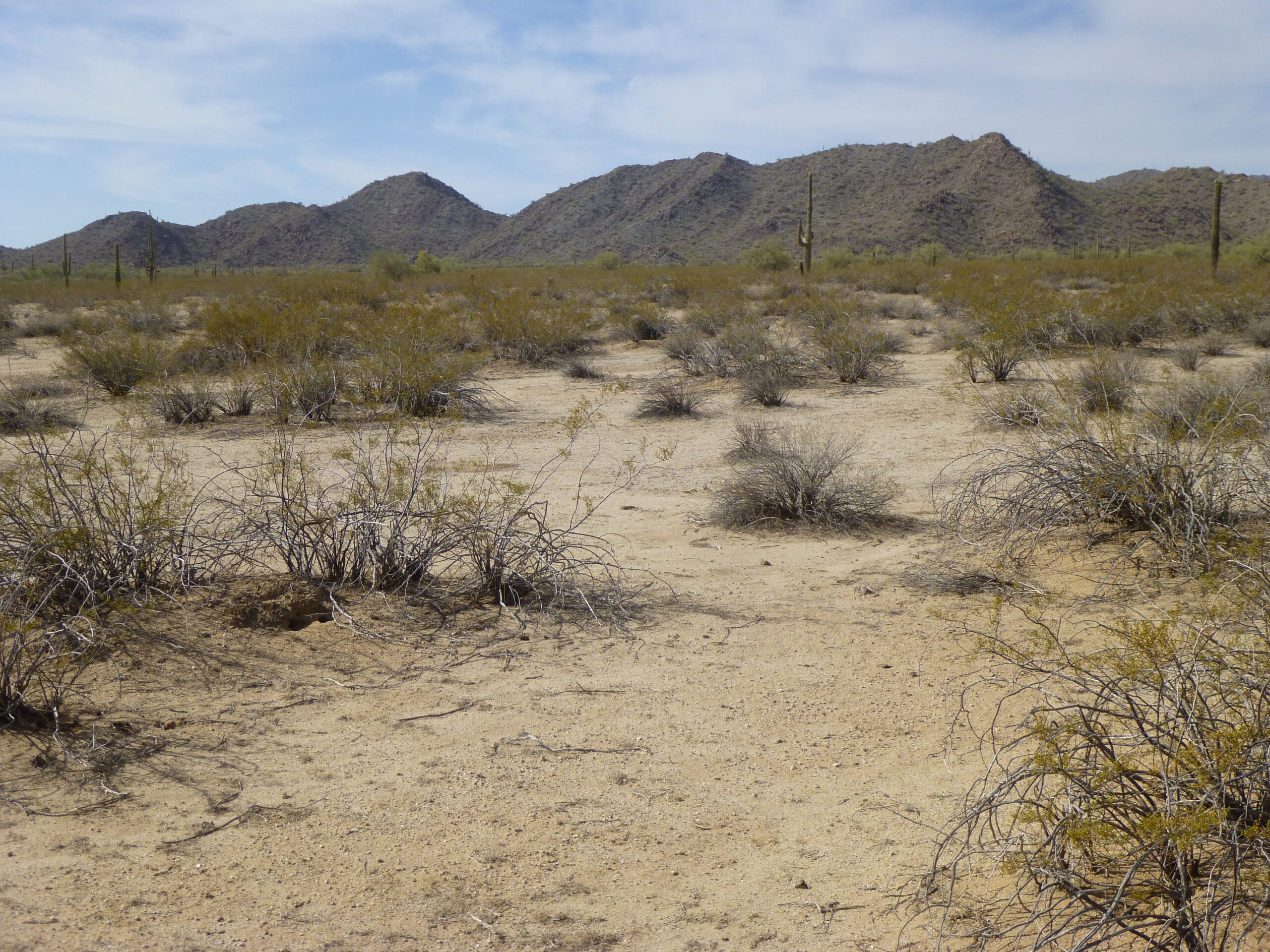
Looking back south to Peak 2100 #1 on the left (about 1/3 of the way in from the left) and Peak 2100 #2 (about 1/4 of the way in from the right)
Here’s a view of the top of Peak 1940, where I arrived at 8:30 AM.
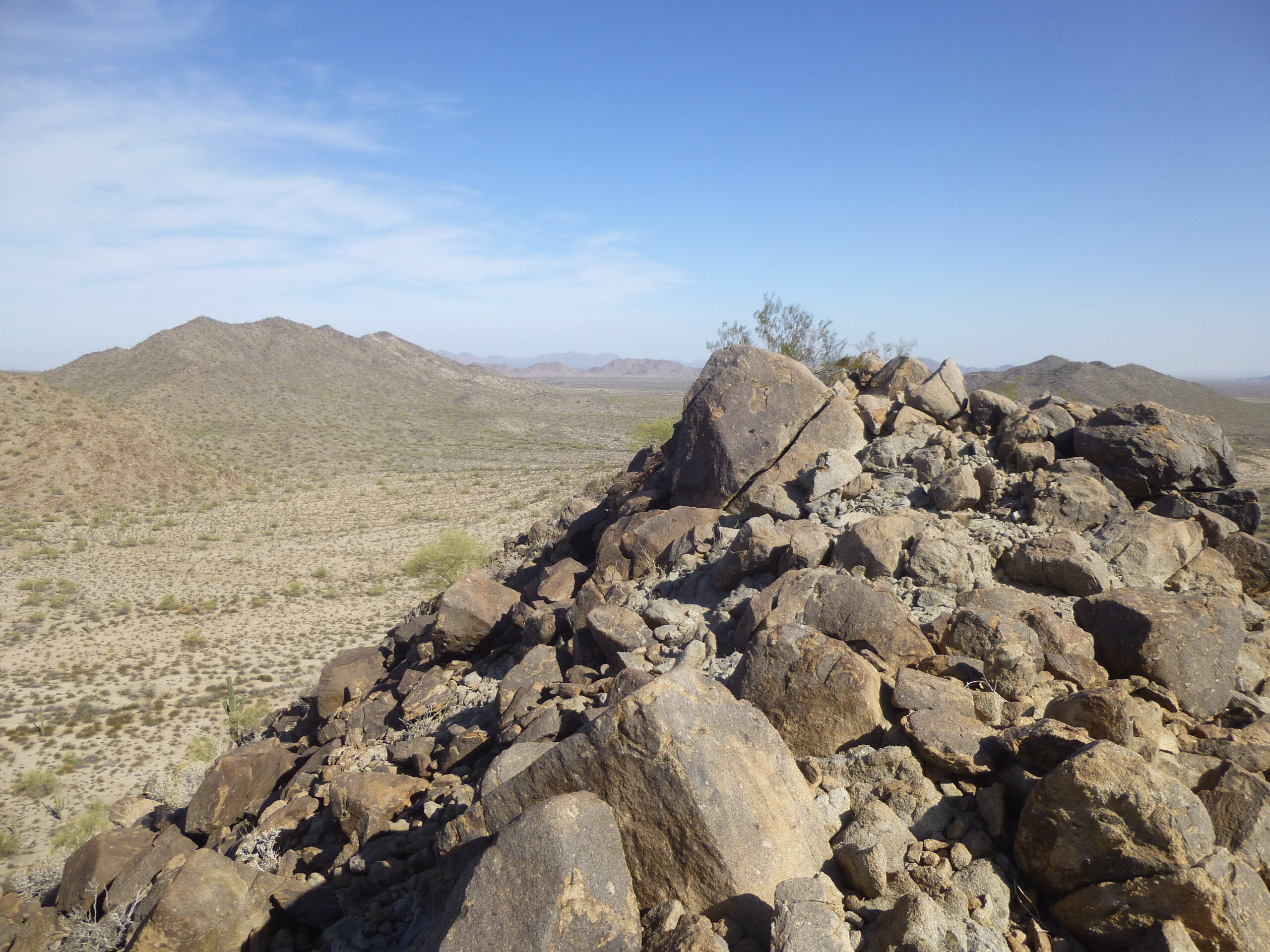
The top of Peak 1940.
I was a man on a mission, so I only spent 12 minutes on the summit and left after preparing another cairn and summit register. Once back down, I had this look back to Peak 1940. Here, you see its east side.
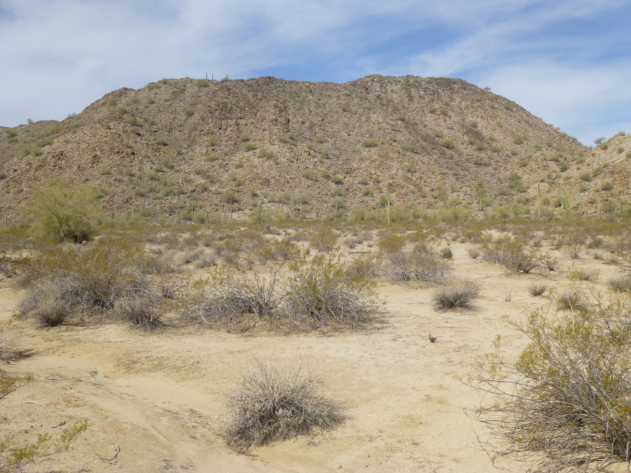
The view west to Peak 1940
There was one more to go in this group of 4, and it was barely a mile from the last one. I knew it had been climbed by others, five other peakbaggers in fact. It too was an easy climb, and I stood atop Peak 2050 at 9:33 AM. I found the register and signed in. Here was a view I had to the northeast, to the nearby Booth Hills, only 3 miles away.
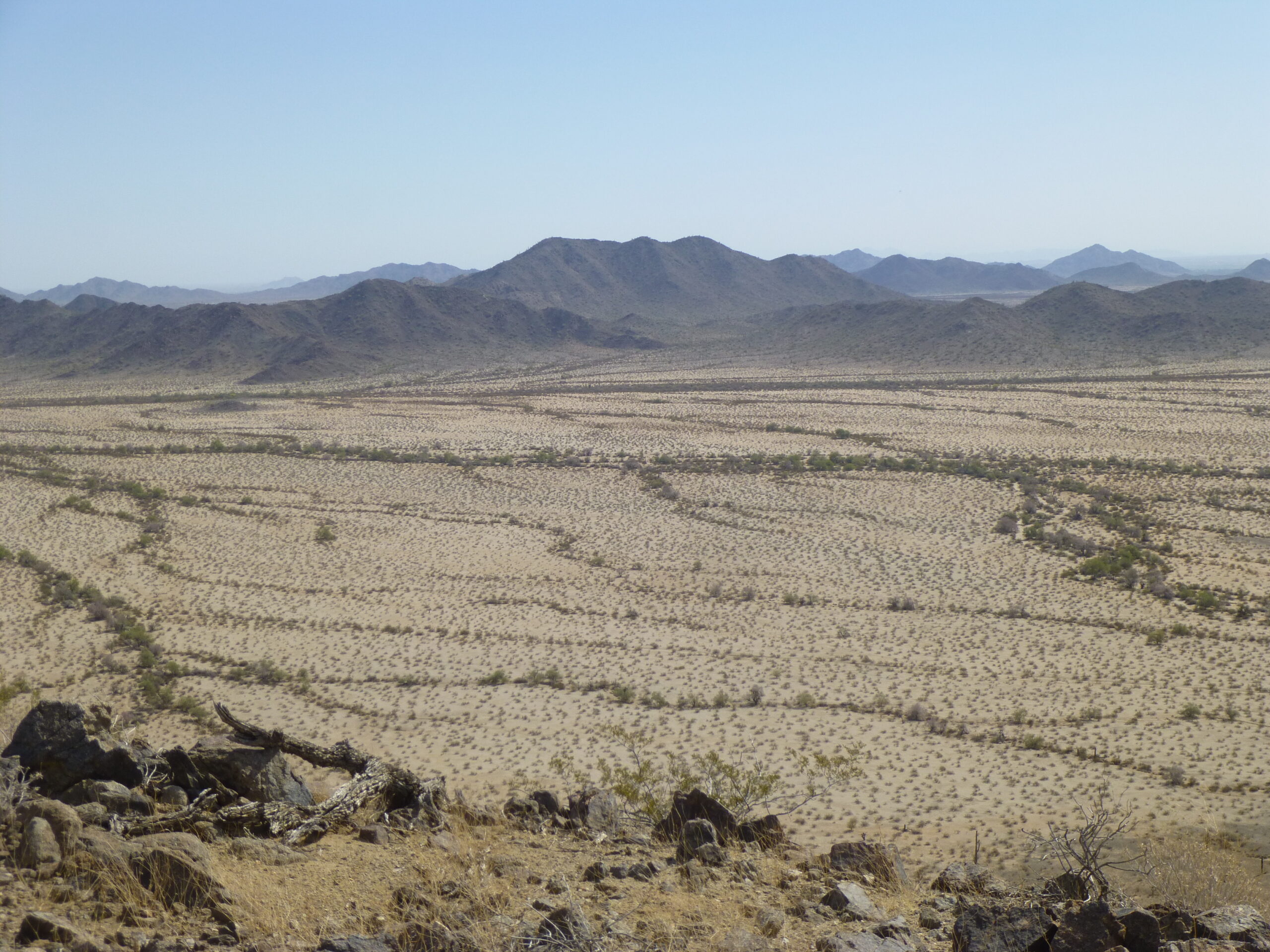
The Booth Hills
Here is what the summit looked like, pretty plain. You can see some of my stuff in the picture, like my SOS rescue device (the black and yellow thing on the rocks to the right of my pack).
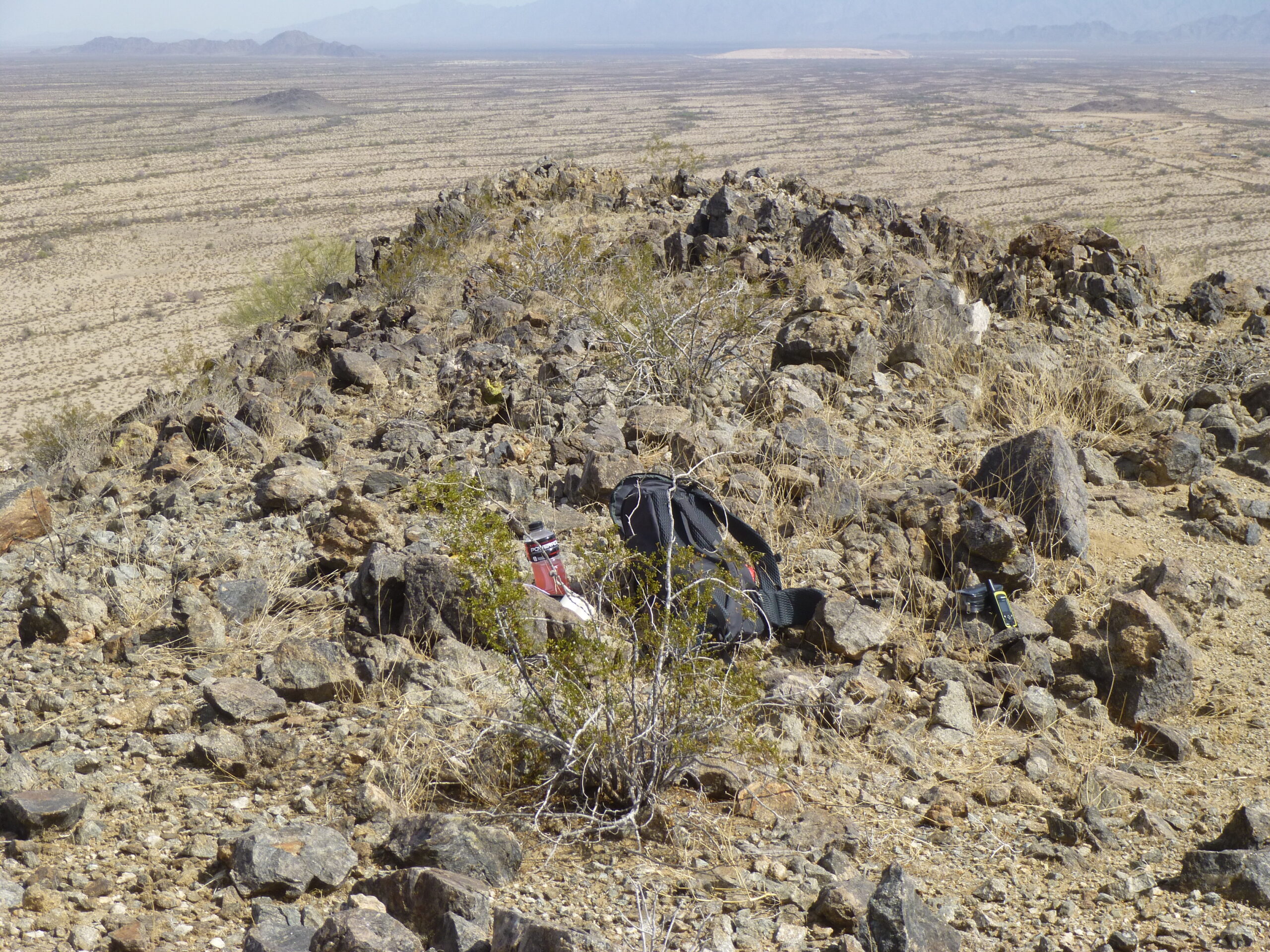
The summit of Peak 2050 – we are looking north.
Here’s the front page of the summit register I found.
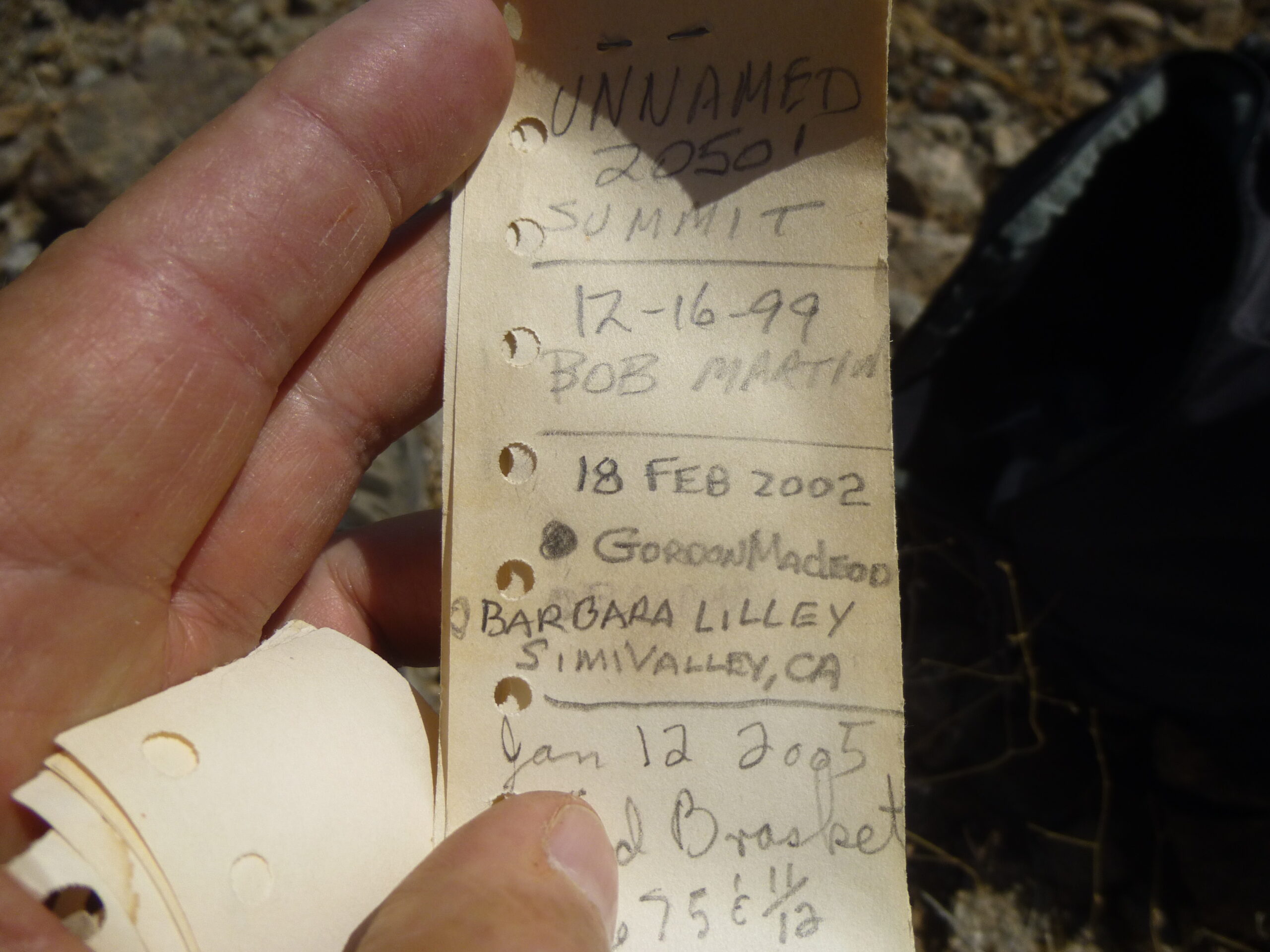
The summit register.
I could also see, to the NNE, this view across the Mobile Valley to the Sierra Estrella, about 18 miles away on the horizon. The nearer part of the view is dotted with ranches, small airstrips, then a railroad and highway beyond that.
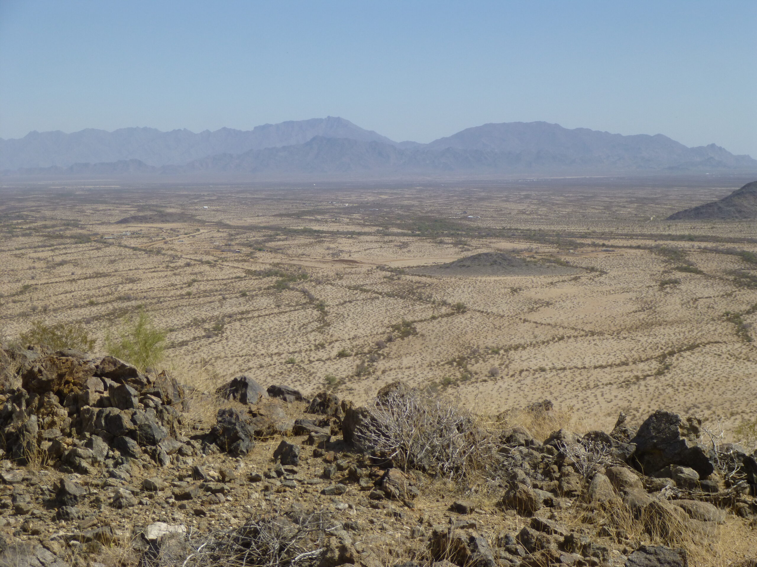 Looking north-northeast to the Sierra Estrella.
After only a dozen minutes on top, I dropped down to the east to regain the road where I had parked. It was close, only half a mile away. Here was a look back to my last peak.
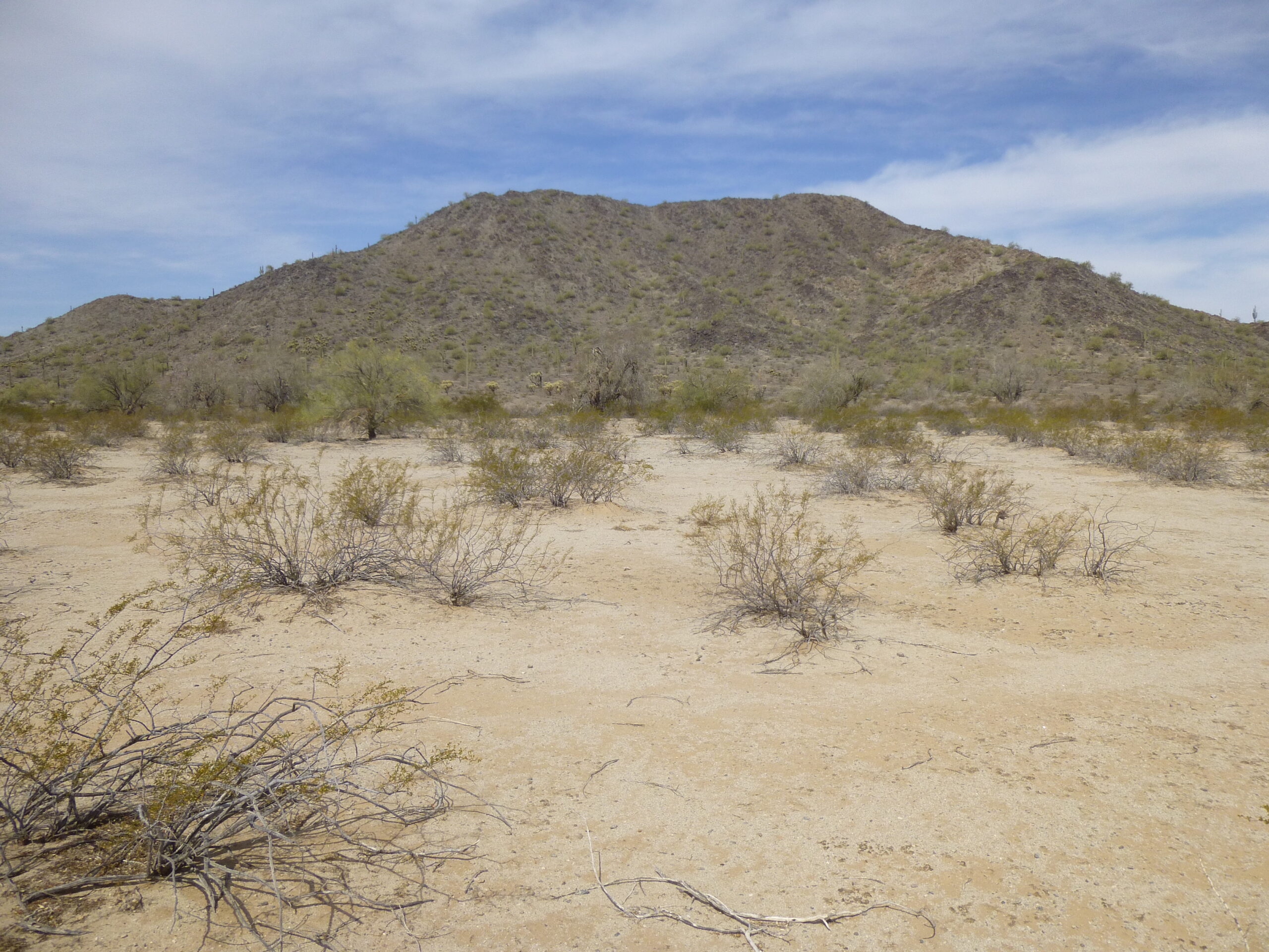
One last look back to Peak 2050.
The road I walked south to find my truck was a simple dirt road, like countless others in the desert.
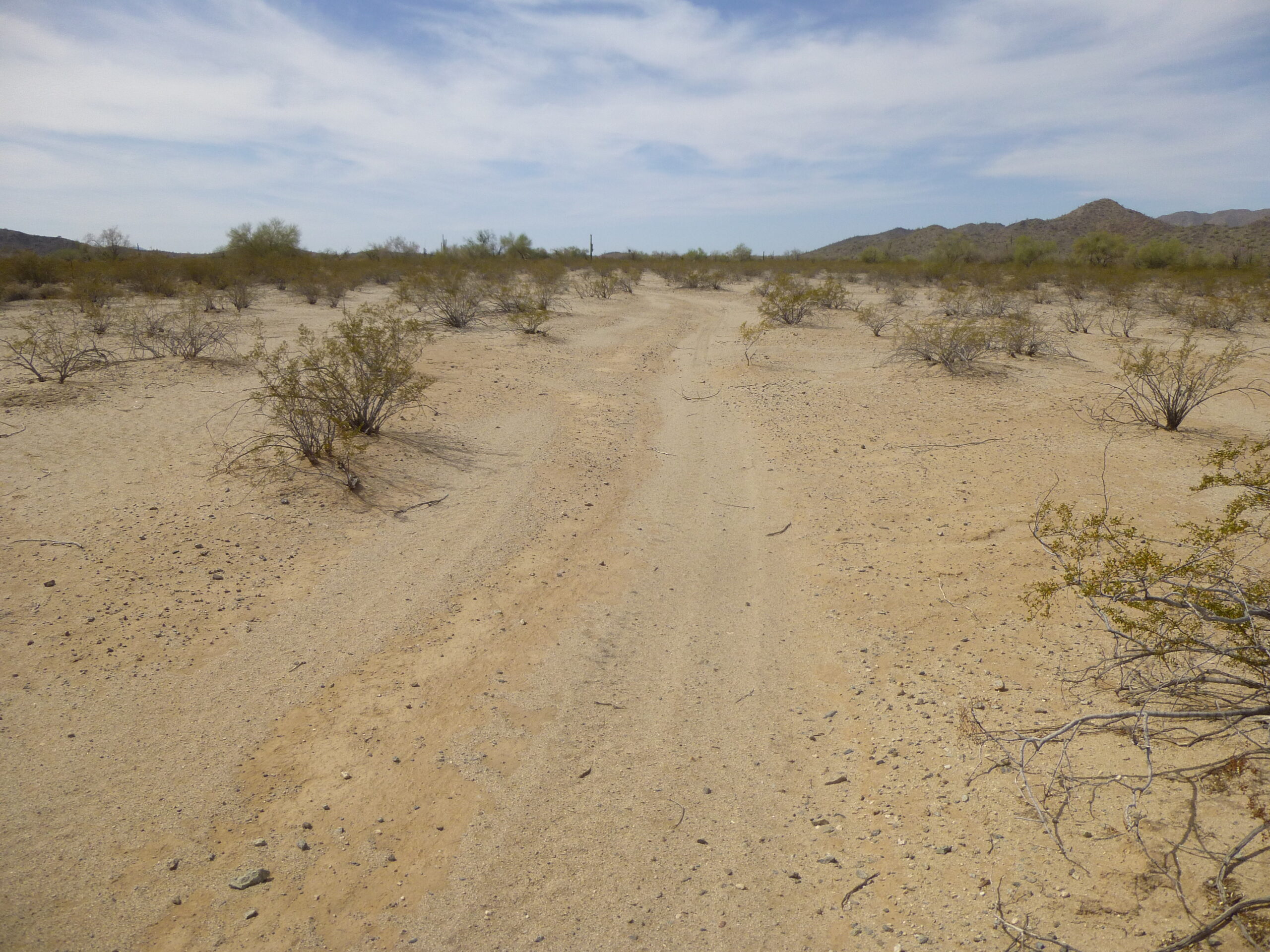
Walking the road back to the south.
The entire loop had taken just under 5 hours, covering 5.8 miles and entailing 1,845 feet of climbing. I had gotten the 3 small unclimbed peaks that everyone else had ignored, and I was happy. Once I was back at my truck and heading south back home, I got to thinking about yesterday’s climb. For that one, I had parked near another peak but hadn’t climbed it. Dang, I’d be passing within a mile of it, the day was still young, so why not climb it? On the way there, I passed this tank made of what we call 88s (masonry block 8″x8″x16″) – a bit unusual, but effective. It was used for watering cattle.
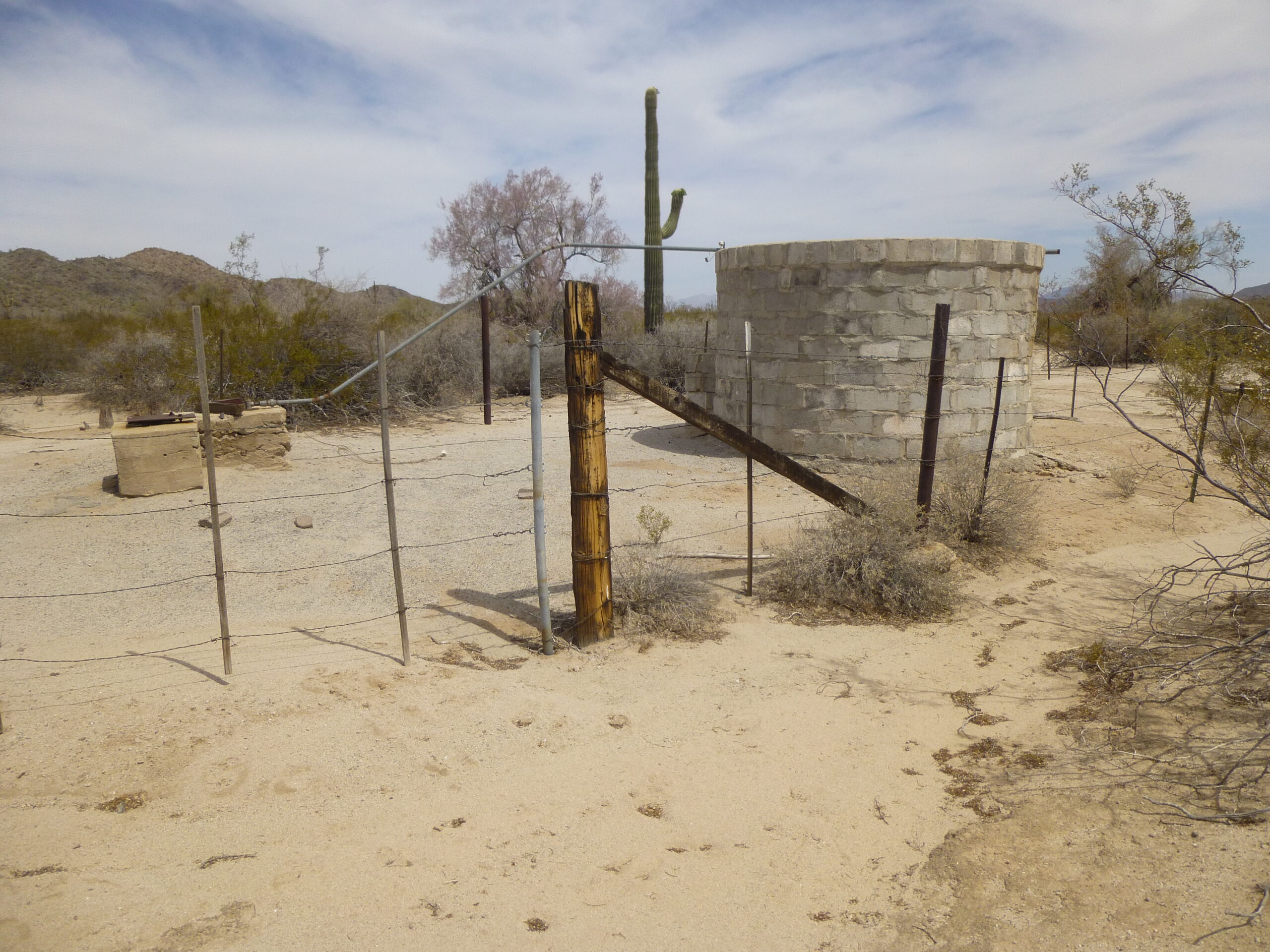
Water tank
I drove to a dandy spot, only 600 feet from the base of the peak, and parked. You can see how close I was.
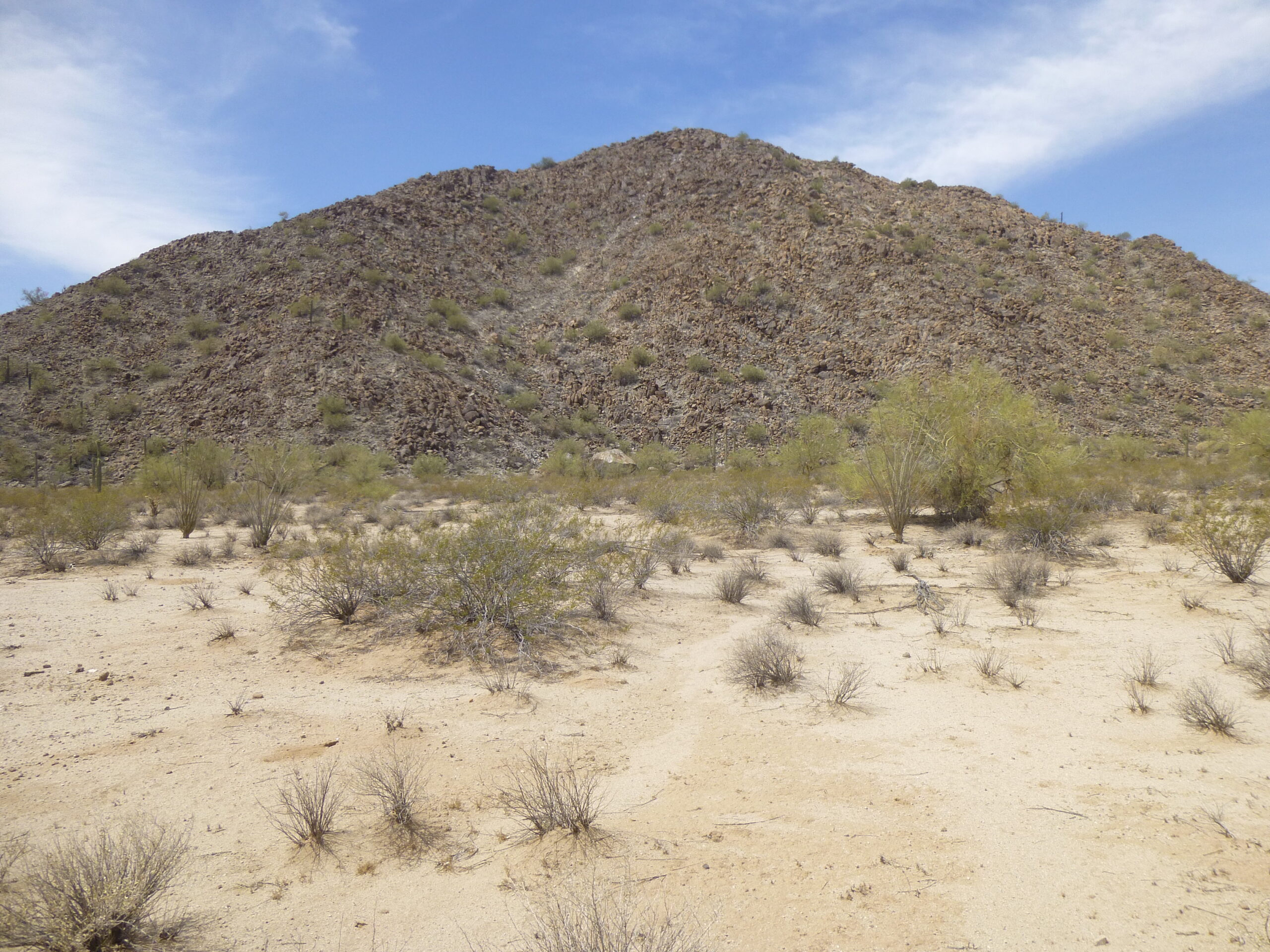
The northeast side of Peak 2300.
It was getting hot, the day had really warmed up, and I spent half an hour getting to the top of Peak 2300. It was a quarter of twelve, and I quickly found the register. Four others had already signed in, the earliest preceding me by 22 years. Here was the register I found.
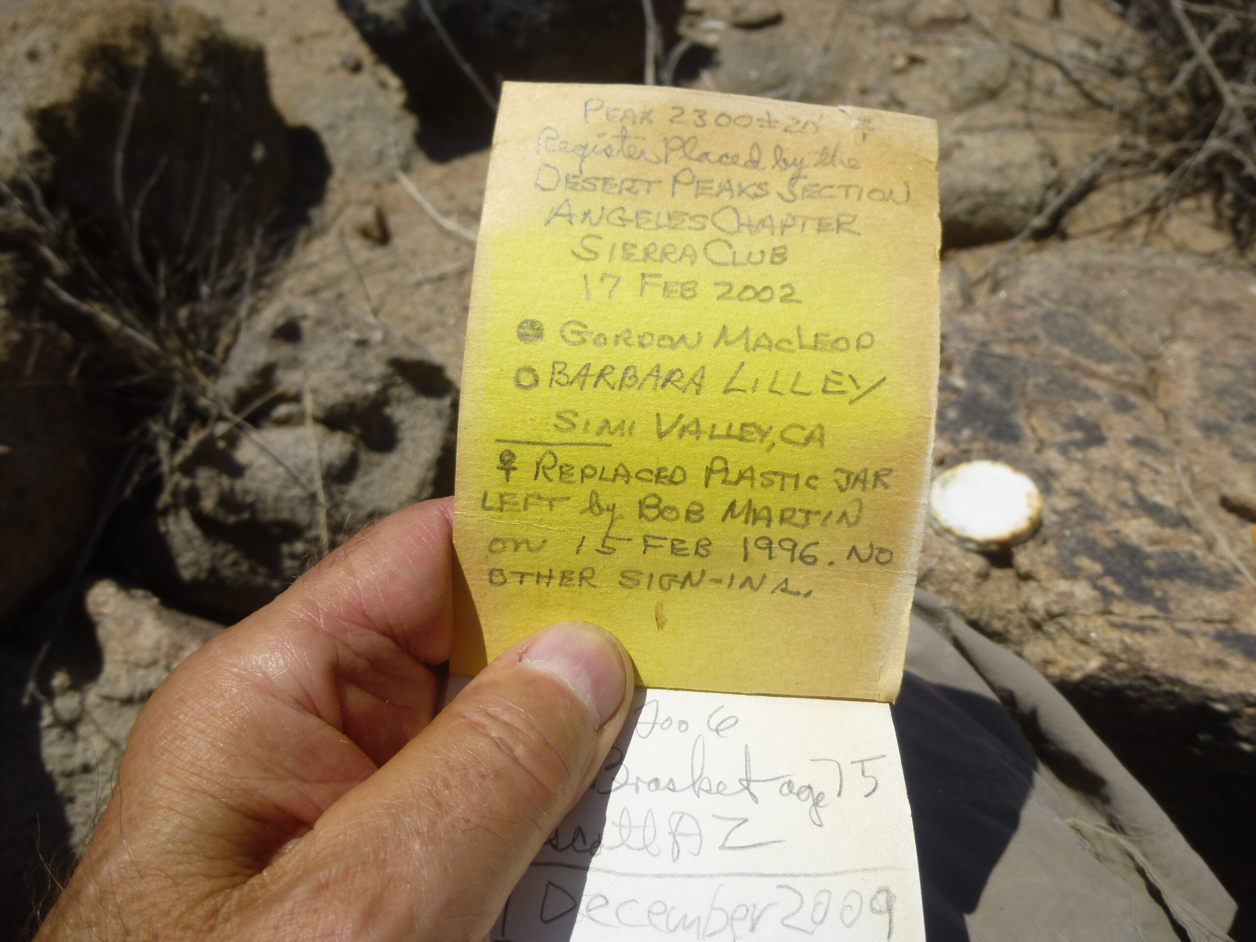
The register.
Here’s what the summit looked like.
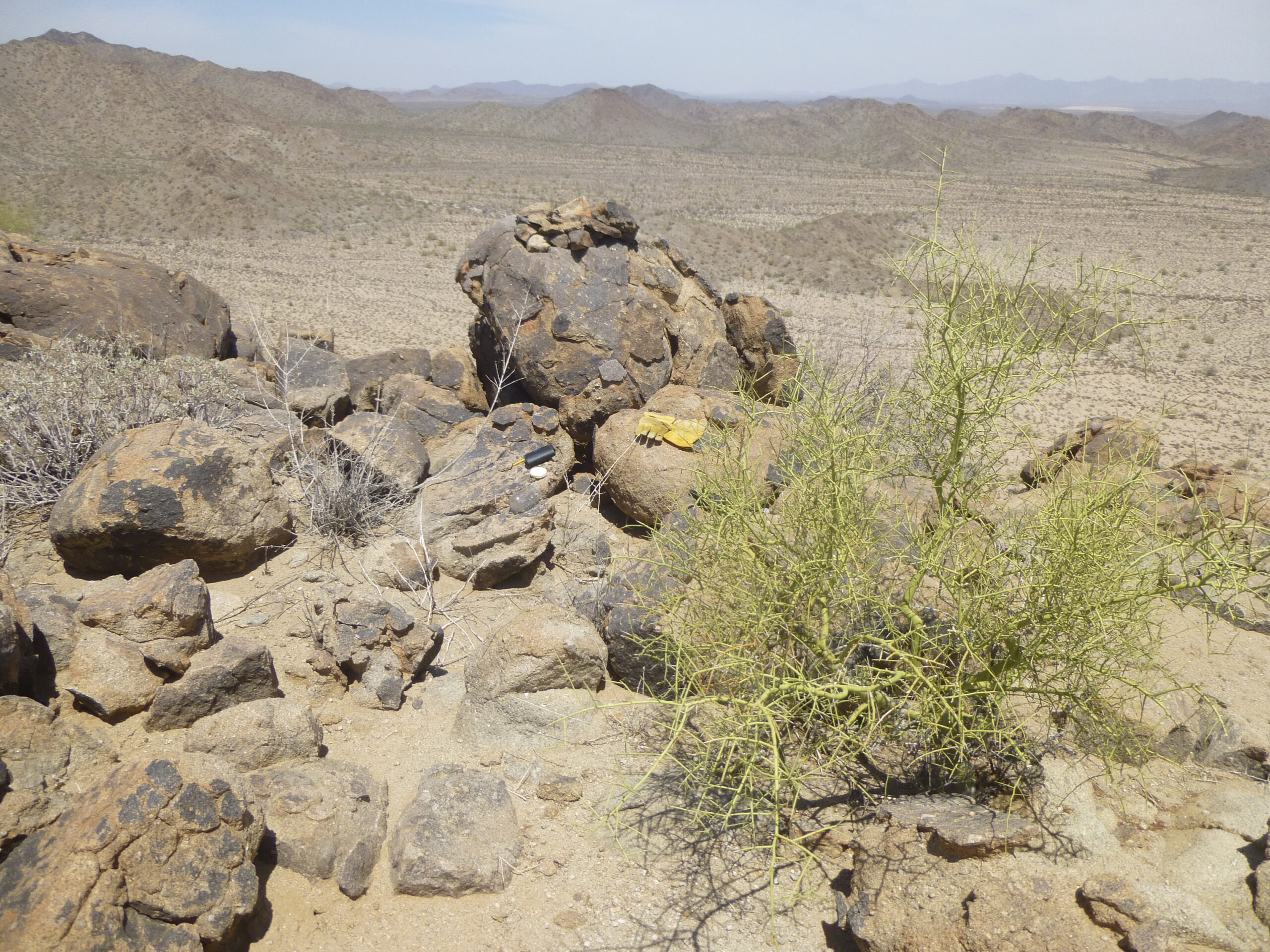
The summit of Peak 2300
If you zoom in on the previous photo, you can see my gloves, the white lid to the register jar and the black case for my small digital camera. The register resided in the pile of small rocks on the large boulder. From atop the peak, I had an unobstructed view back to the big peak 2940 I had climbed the afternoon before. It clearly shows the side of the peak which I climbed.
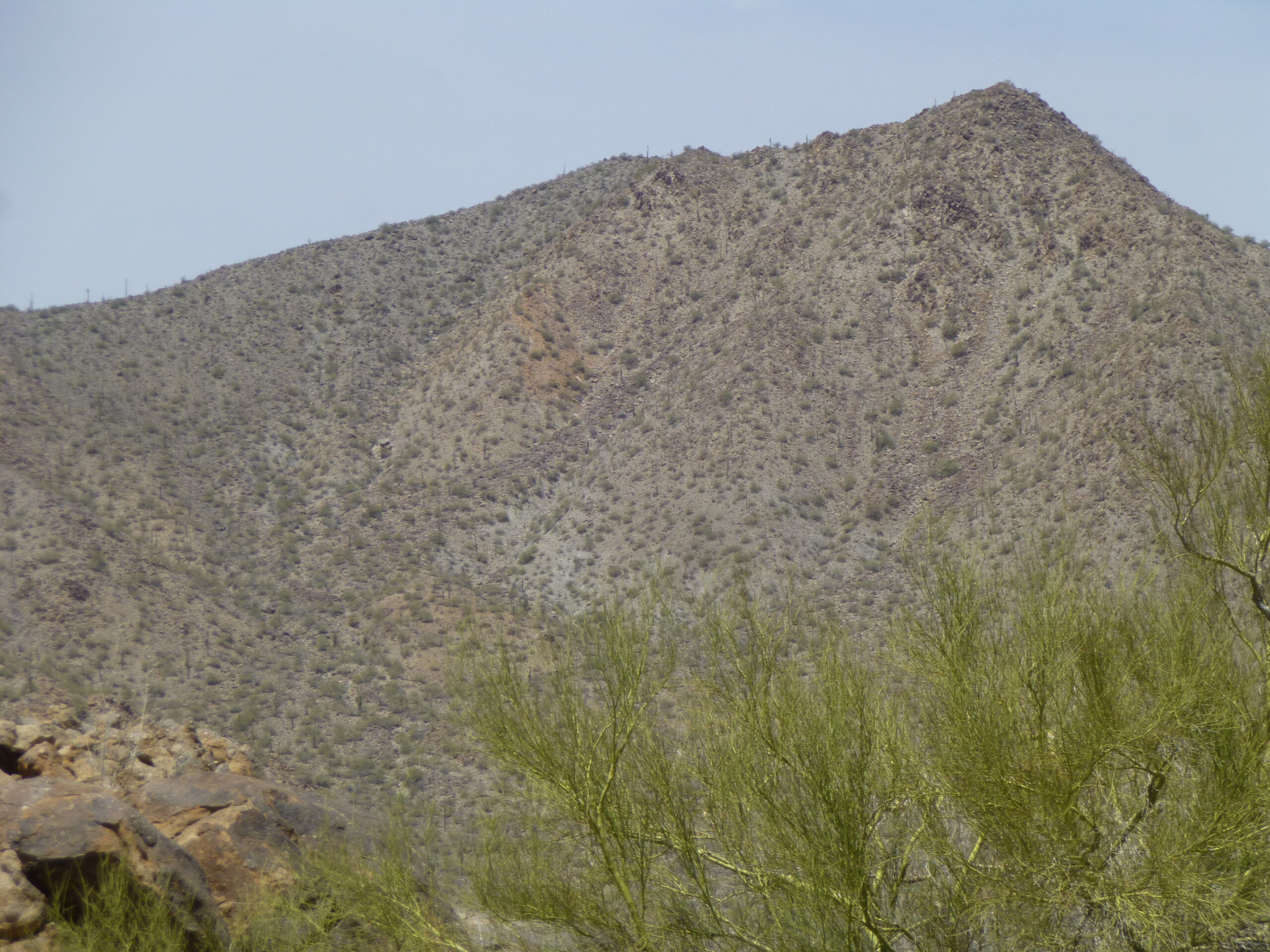
The east side of Peak 2940
Here’s a look down to where my truck was parked.
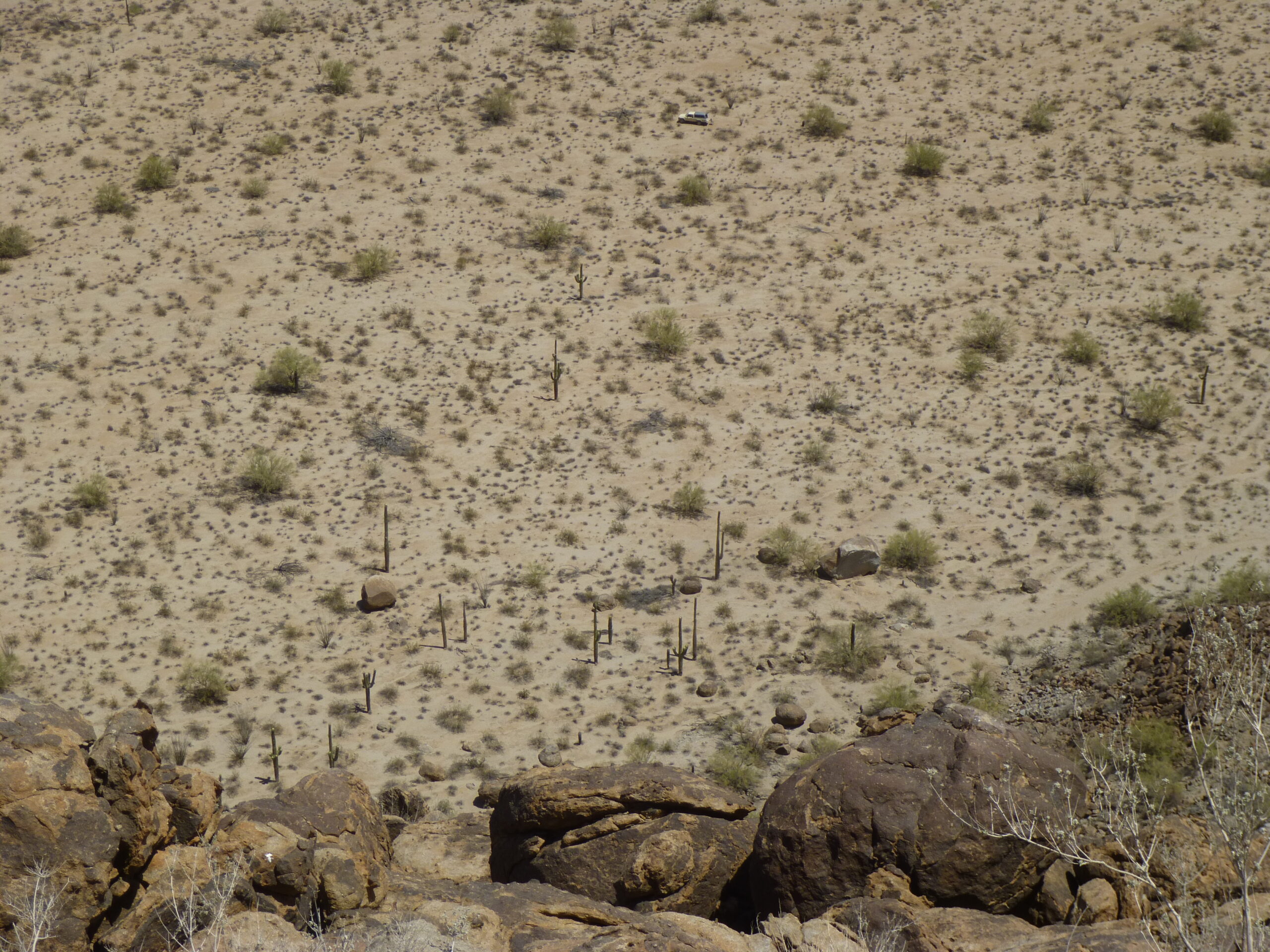
Looking down to my truck.
To make it easier, here’s a telephoto shot of the truck. You can see that the back of the truck is open and my folding chair sits behind it. No need to worry about anyone messing with your stuff out here.
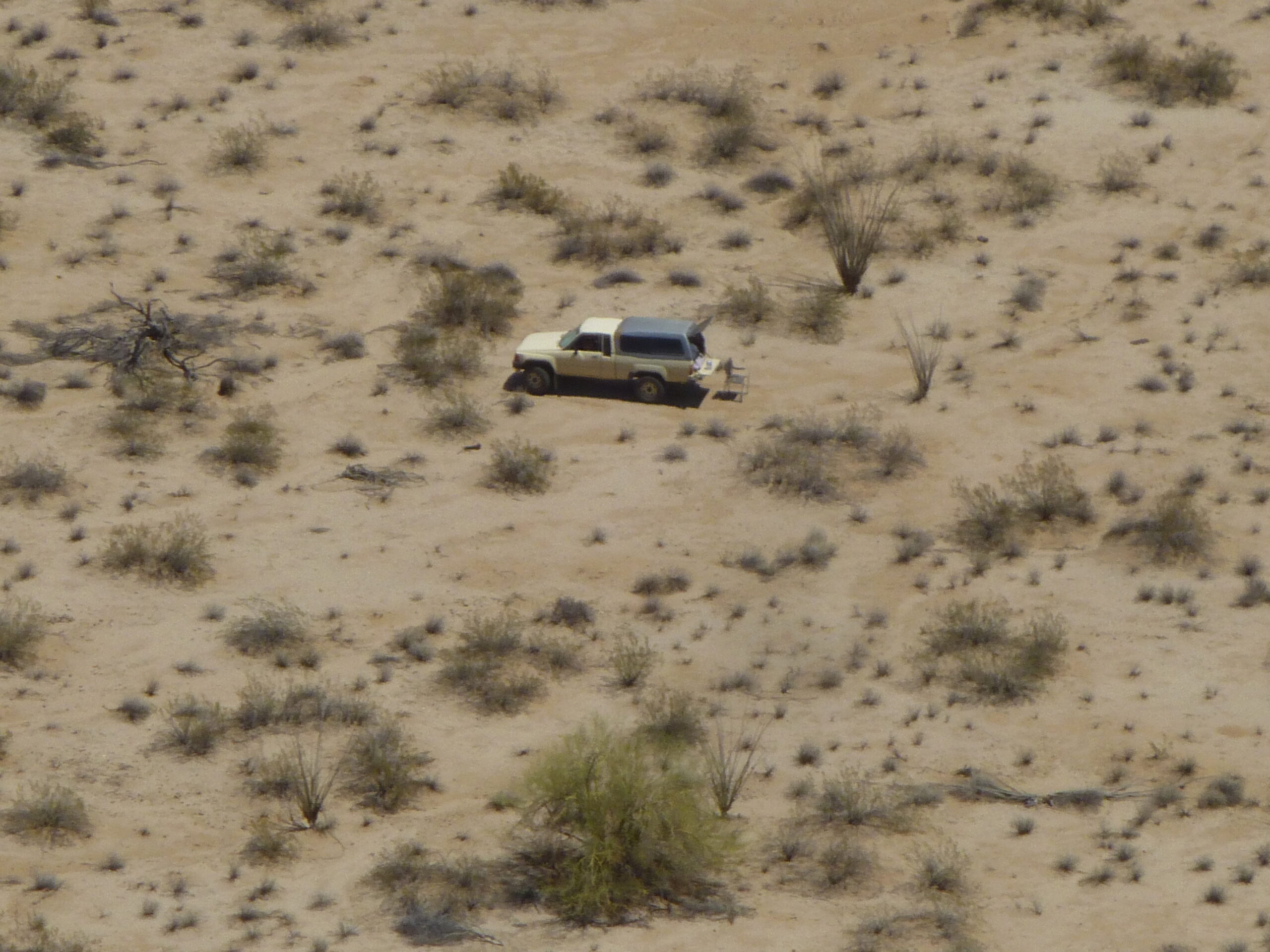
My good old Toyota 4×4.
Well, it was all over but the shouting. The round trip back to the top and back again took a leisurely hour and a quarter. It had been a good couple of days – 6 peaks, lots of good dirt roads, wide open spaces. The Vekol Valley had been a major conduit for the movement of indocumentados and drugs into the area for many years, but things were finally quieting down by the time I did these climbs. Hey, thanks for coming along and keeping me company.