
What kind of a mess had we gotten ourselves into? Things were getting worse the farther we went, and we were getting mighty nervous. Why? Somebody could have jumped us at any moment. Hmmm, maybe this will make more sense if I begin at the beginning.
It was late winter, three days before the equinox and unseasonably warm, tickling the pink underbelly of 90. We had spent the night at Javelina Camp, then arisen before dawn for an early start. Even so, by the time we’d eaten and packed things up, it was broad daylight. A few miles of driving south on rough roads and we’d arrived at Ryans Canyon. Although this was a dry stream bed, its sand and gravel bottom served as a highway in these parts. As we drove downstream, at times the deep sand sucked our wheels down, threatening to trap us. Eleven miles of this white-knuckling and we finally escaped the canyon and drove up on to the firmer ground of the desert floor. More miles of easier driving past steep desert crags brought us to the crux of the drive, just south of Hat Mountain.
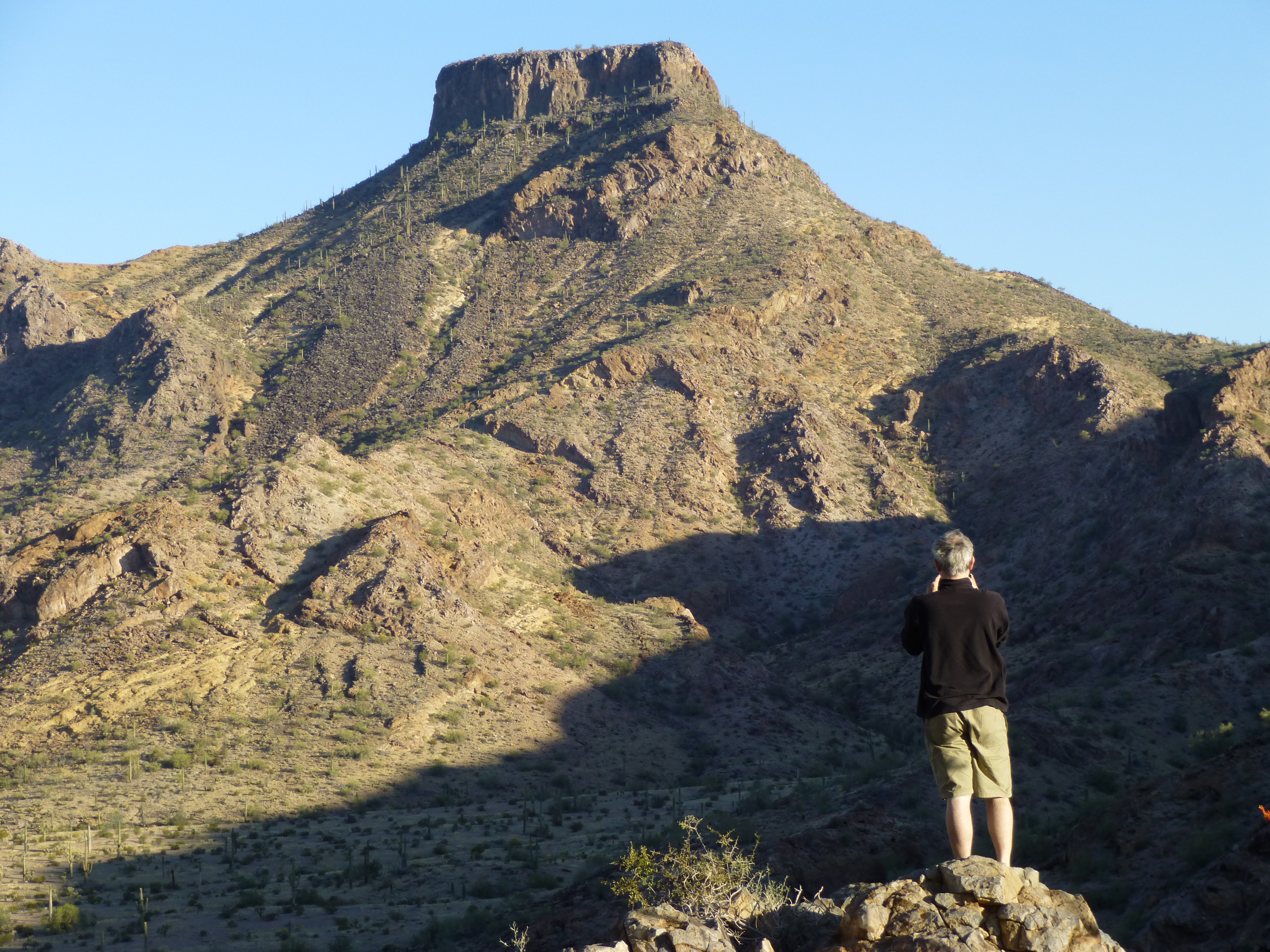
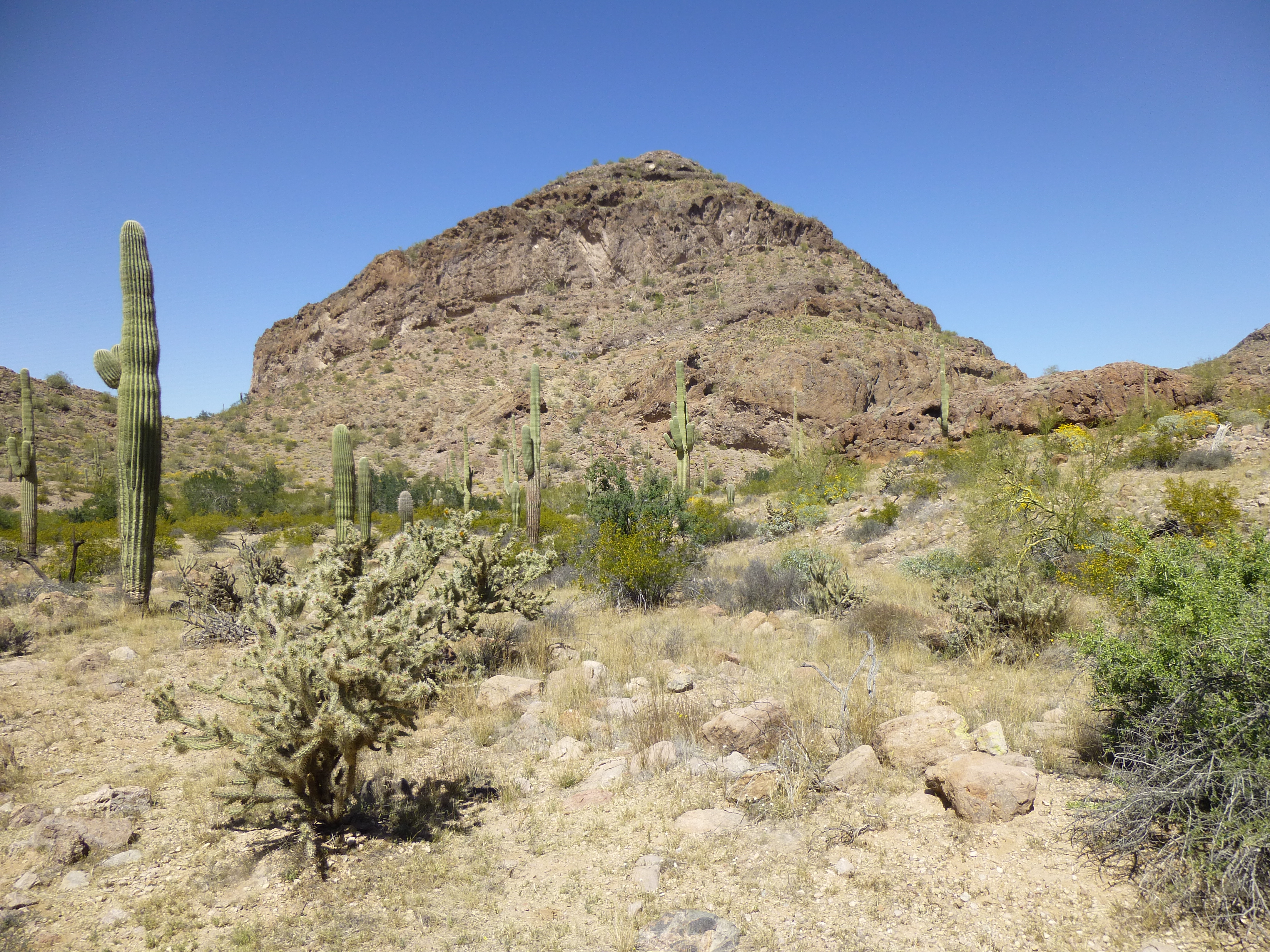
Taking a break before heading down the nasty hill, with Hat Mountain to the north.
Many years ago, peakbagger Mark Adrian had pushed a route through this area, and had told me in hushed tones how he had driven down a truly awful hill that had scared the bejeezus out of him. That was the crux, a quarter-mile that seemed much longer. As we crept downhill in 4WD, first gear in low range, hanging on for dear life, I thought of Mark. This was his hill alright. It tilts outward as you drive down it, trying to slide you sideways over the edge. Some folks won’t even try to drive this hill, so can’t penetrate any farther east into the Sauceda Mountains. Once at the bottom, the road makes a half-circle around Hat Mountain and deposits you in a stunningly-beautiful valley on its north side.
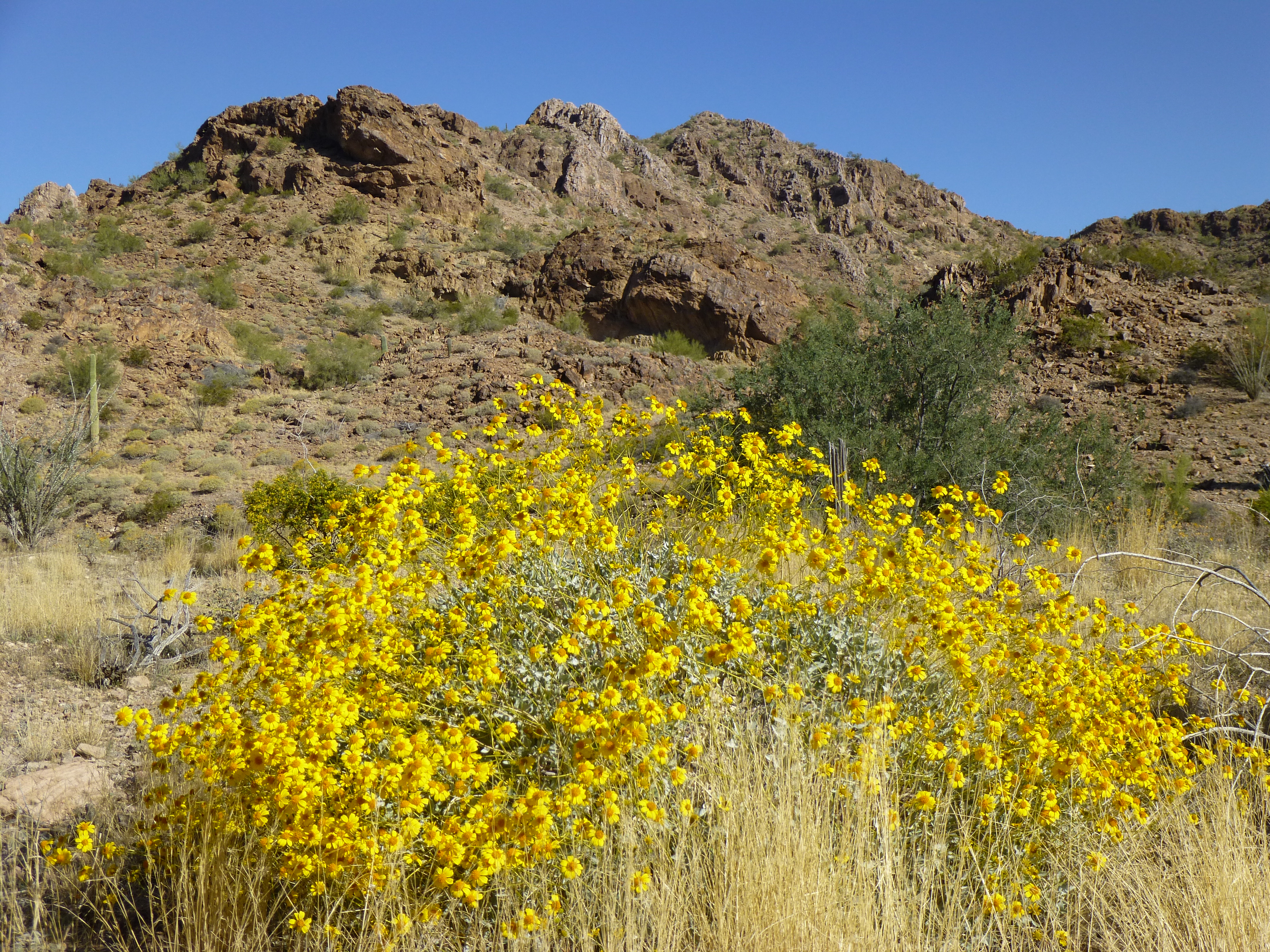
The valley
My truck had been broken into in the past, so I was trying a new strategy. I’d leave both cab and camper shell unlocked, with a gallon of water on the hood for passers-by. Anything I couldn’t afford to lose would be with me in my day pack. If any Bad Guys wanted my stuff, at least they wouldn’t have to bust up the truck to get at it. I also left a club on the steering wheel, and took a secret step to disable the truck so it couldn’t start.
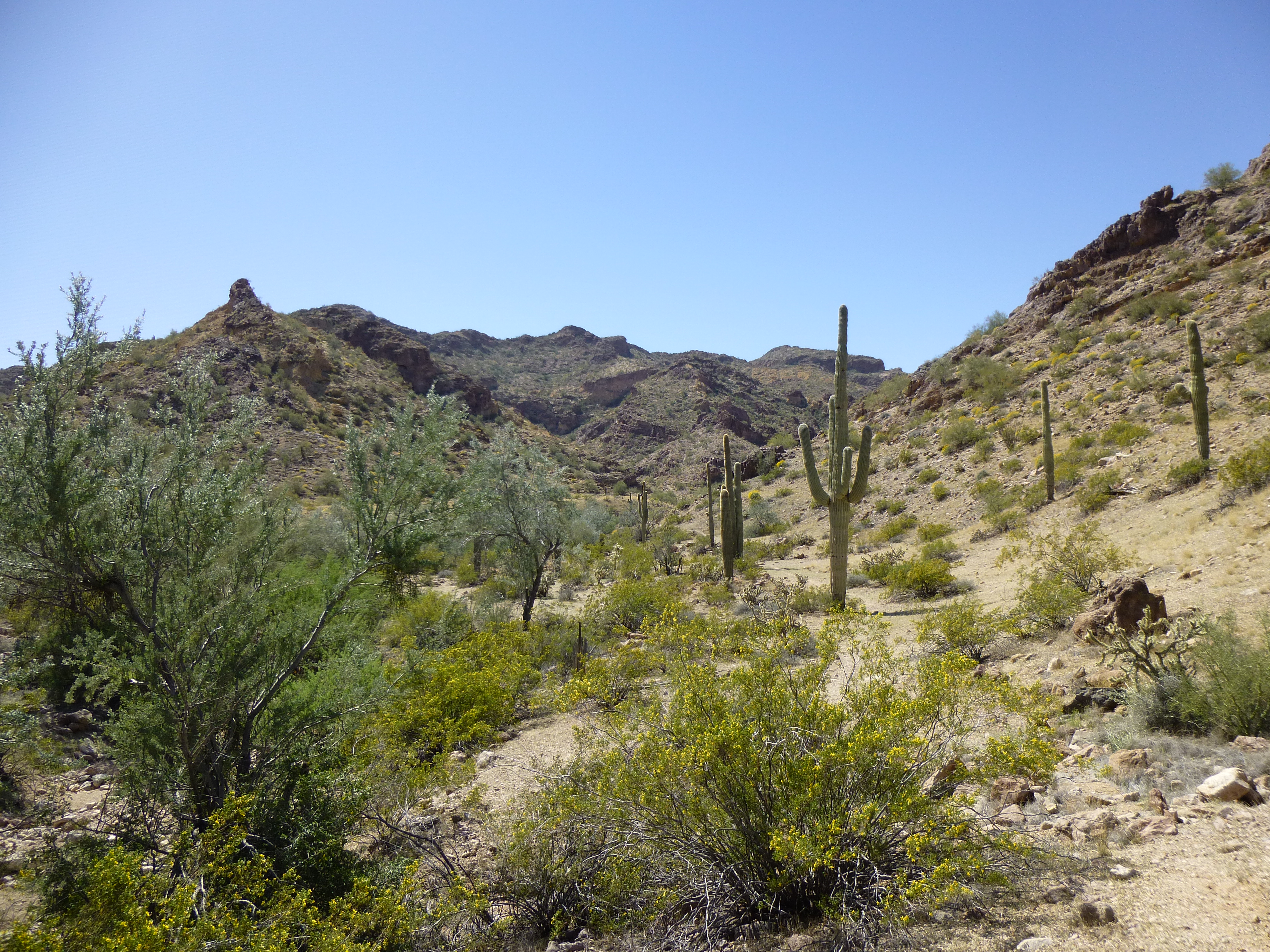
It was nine in the AM by the time we set out. Three quarts to drink seemed like it’d be plenty enough for this day, two peaks. The first one reared up at the head of the valley, its siren call loud and beckoning. It was impossible to get lost, as the canyon we’d ascend made a beeline directly for the summit.
The bit of trash we saw near the truck should have been our first clue that something was wrong – ditto for the footpath a bit farther on. For the first 1.3 miles, the going was easy, almost flat. As we went, there were more signs that we weren’t the first to have come this way. The farther we traveled up the valley, the more distinct the path became, almost like a trail in a national park – it was surprisingly good.
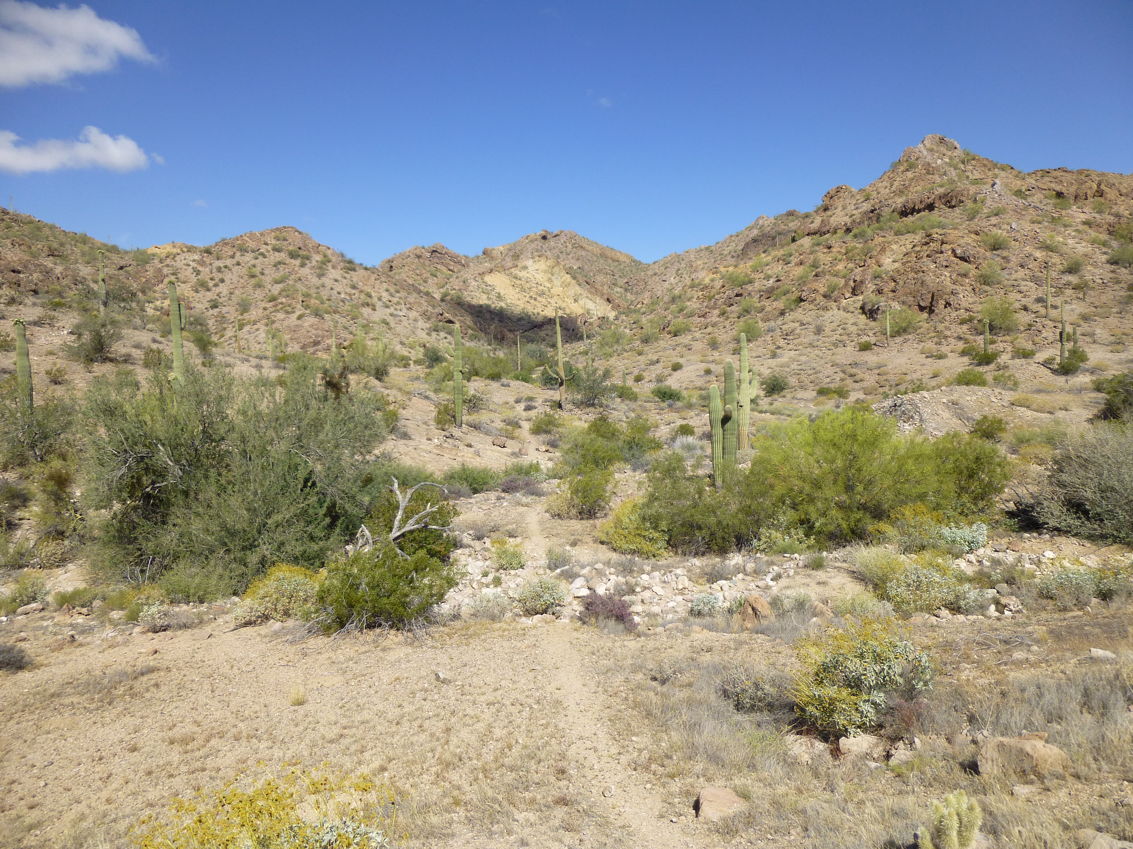
The path up the valley
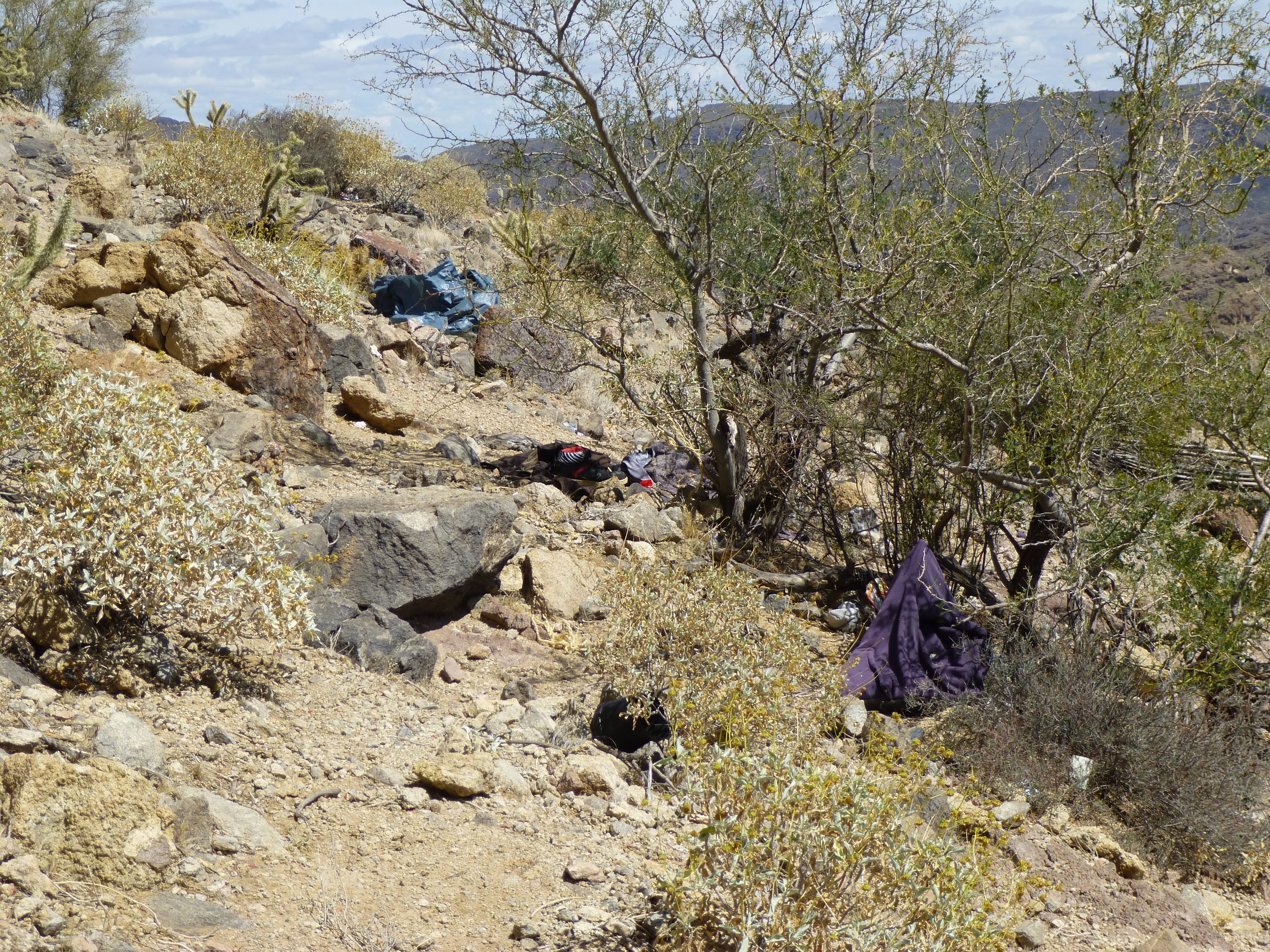
The valley narrowed and, as it did, the walls closed in to form a distinct canyon. More pieces of trash were seen, just about everything you can imagine. Shoes, sandals, pants, underwear of all types, hats, shirts, sweaters, jackets – and that’s just the clothing. There were sleeping bags, blankets, all types and sizes of plastic bags, pieces of rope, day packs of every possible shape, size and color; toiletries, such as razors, toothbrushes, toothpaste, combs, hairbrushes, sunglasses; water bottles, glass jars and bottles, food cans, food wrappers – you name it, we found it. The amount of trash was quite overwhelming. During my 30+ years of climbing in the desert, I have seldom seen so much of it in such a short distance.
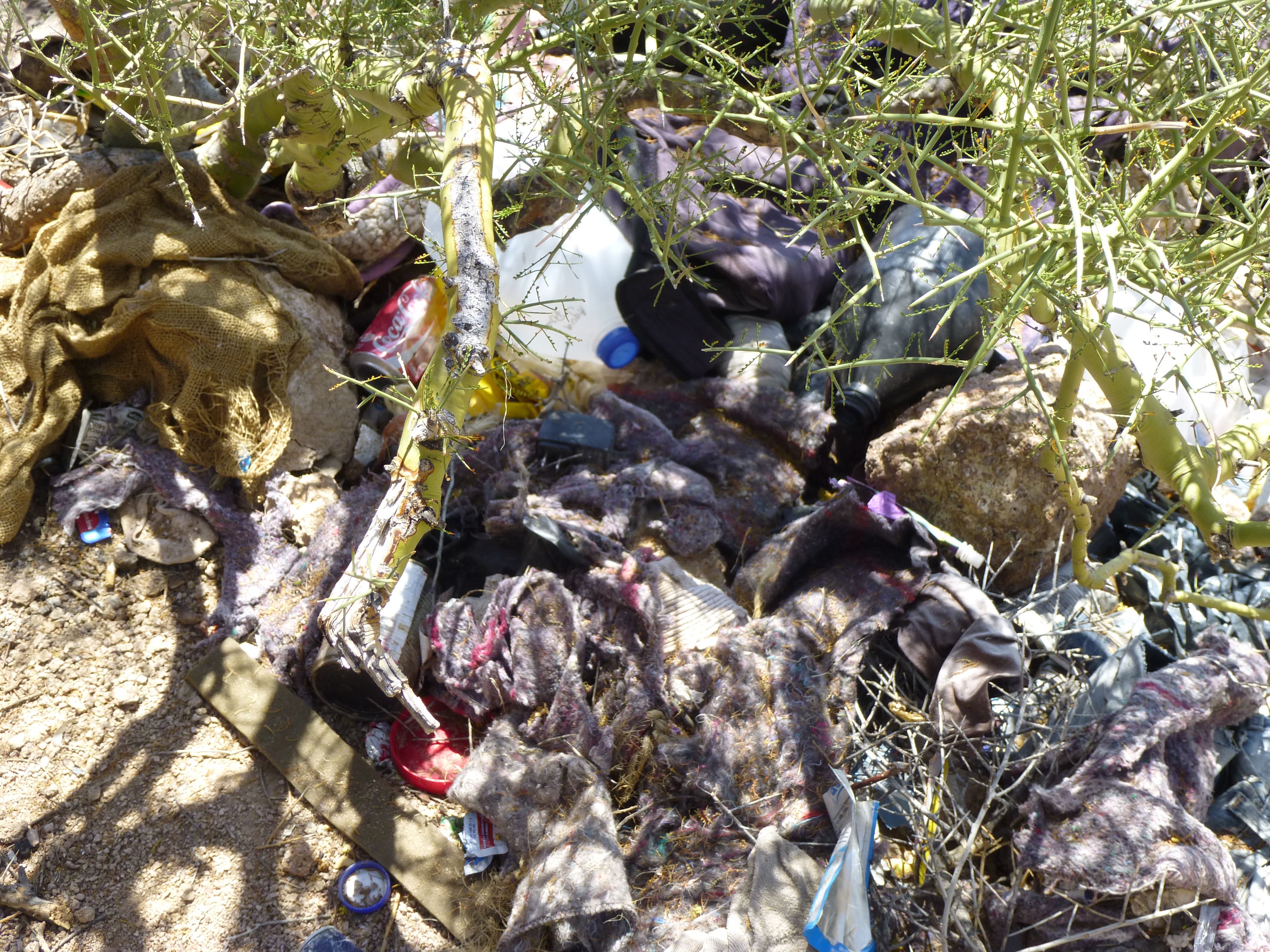
One of the piles of trash
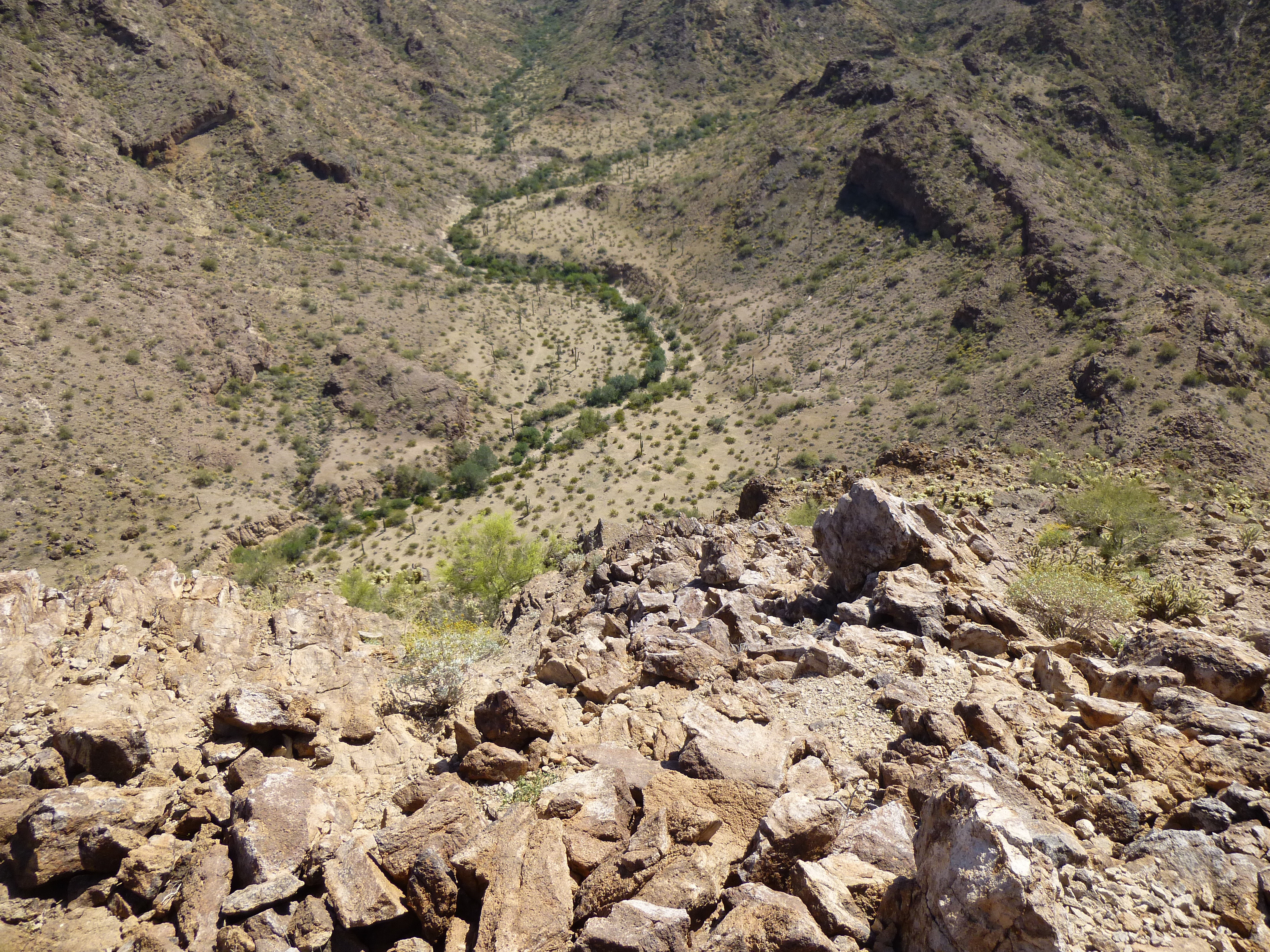
At times, the path was forced to travel up and then along ledges in the steep canyon walls, above drops of 30 or 40 feet. That was because there were places in the canyon bottom where a cliff would block the way, and there was no choice but to climb up and around the obstacle.
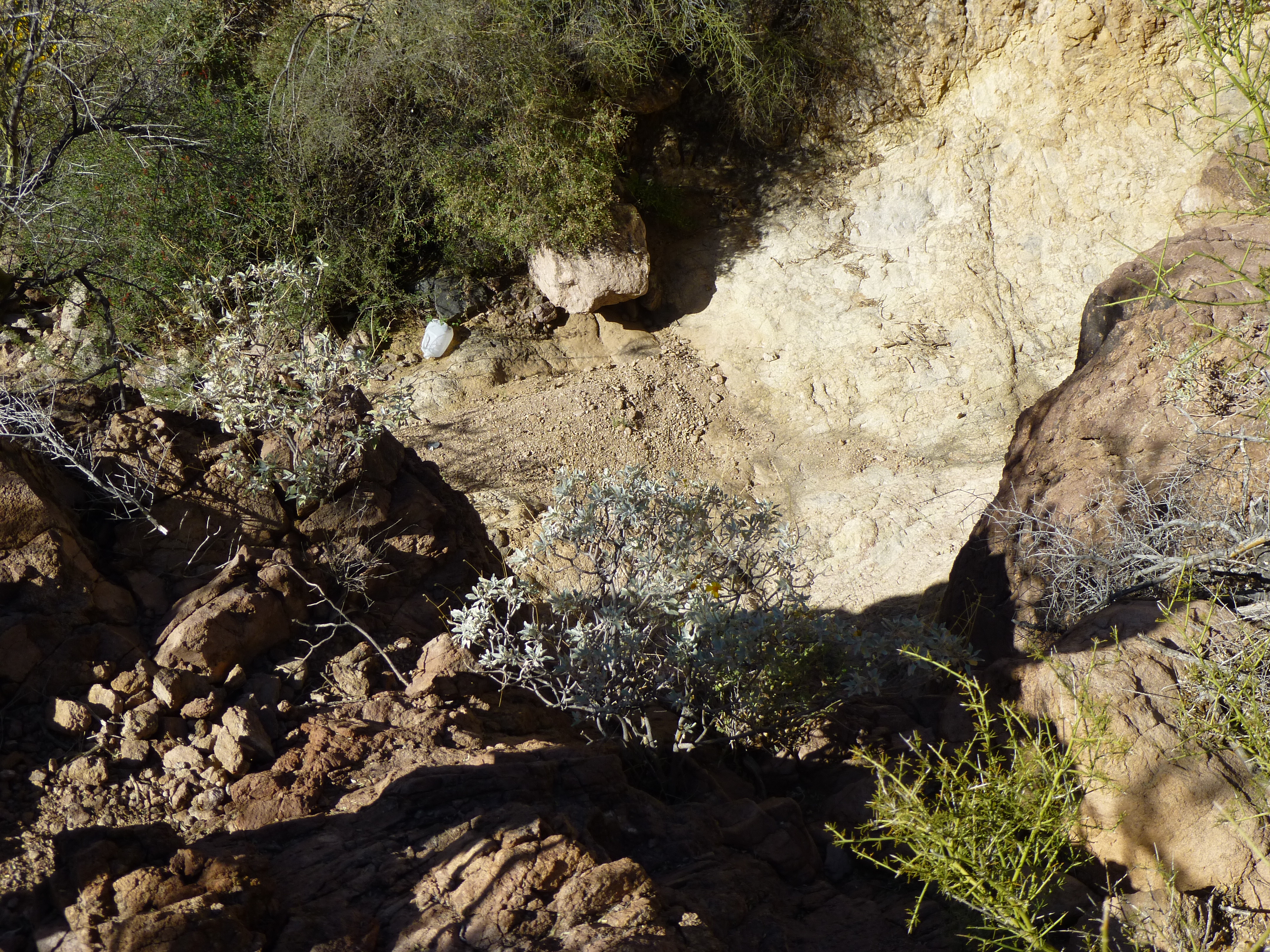
Looking down into one of the steep drops along our route
This brings me back to the beginning of my narrative. These narrowings in the canyon were where we were most vulnerable. Bad Guys will often lay low during the daylight hours, then travel under cover of darkness to avoid detection. They could easily have been resting in any of a hundred good hiding places nearby. The two of us would be no match against a group of smugglers who were far from home and desperate. Everything we had in our daypacks, they would want. A few quarts of water, some additional food, even our boots could mean the difference between life and death for them out here. Groups of 10, 20 or more have been intercepted in these remote areas. If someone is slowing the group down, they’ll leave him or her behind, often without food or water. I’ve seen this happen for something as simple as blisters. So, what I’m saying is that the opportunity existed for desperate people to be close by, hidden from view, who could be planning to make a move on us. Were we concerned? – you bet!; vigilant? – of course! Defeated? – no way!
At 85 minutes out from the truck, we reached a saddle at 2,300 feet. We had climbed 600 feet over 1.8 miles. The saddle was a windswept place – plastic bags, hung up on ocotillos and cacti, flapped in the breeze like so many forlorn flags.
Some of the trash hung up on vegetation near the saddle
The summit of our peak stood a mere 150 feet above us. Defending it was a cliff band, at the base of which was a series of caves which offered shelter from the elements and from the over-flying aircraft of law enforcement. We crept cautiously up to these and found that several contained sleeping bags and other gear meant for longer stays. There were even large bags filled with trash – amazingly, these pigs had made some effort to gather up some of their garbage.
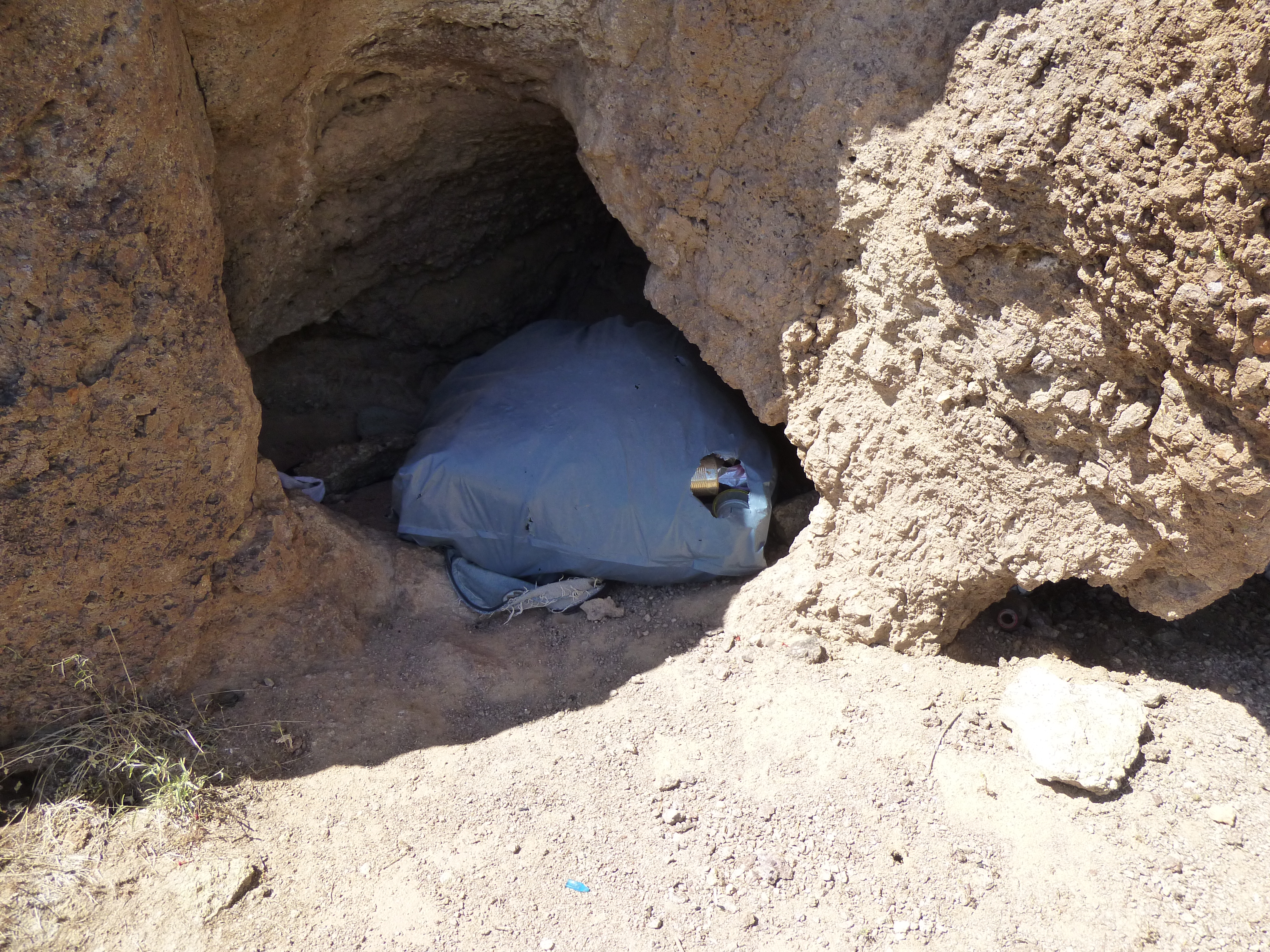
One of the bags of trash
We also found a cave with votive candles – the border-crossers must have felt that these would help their cause.
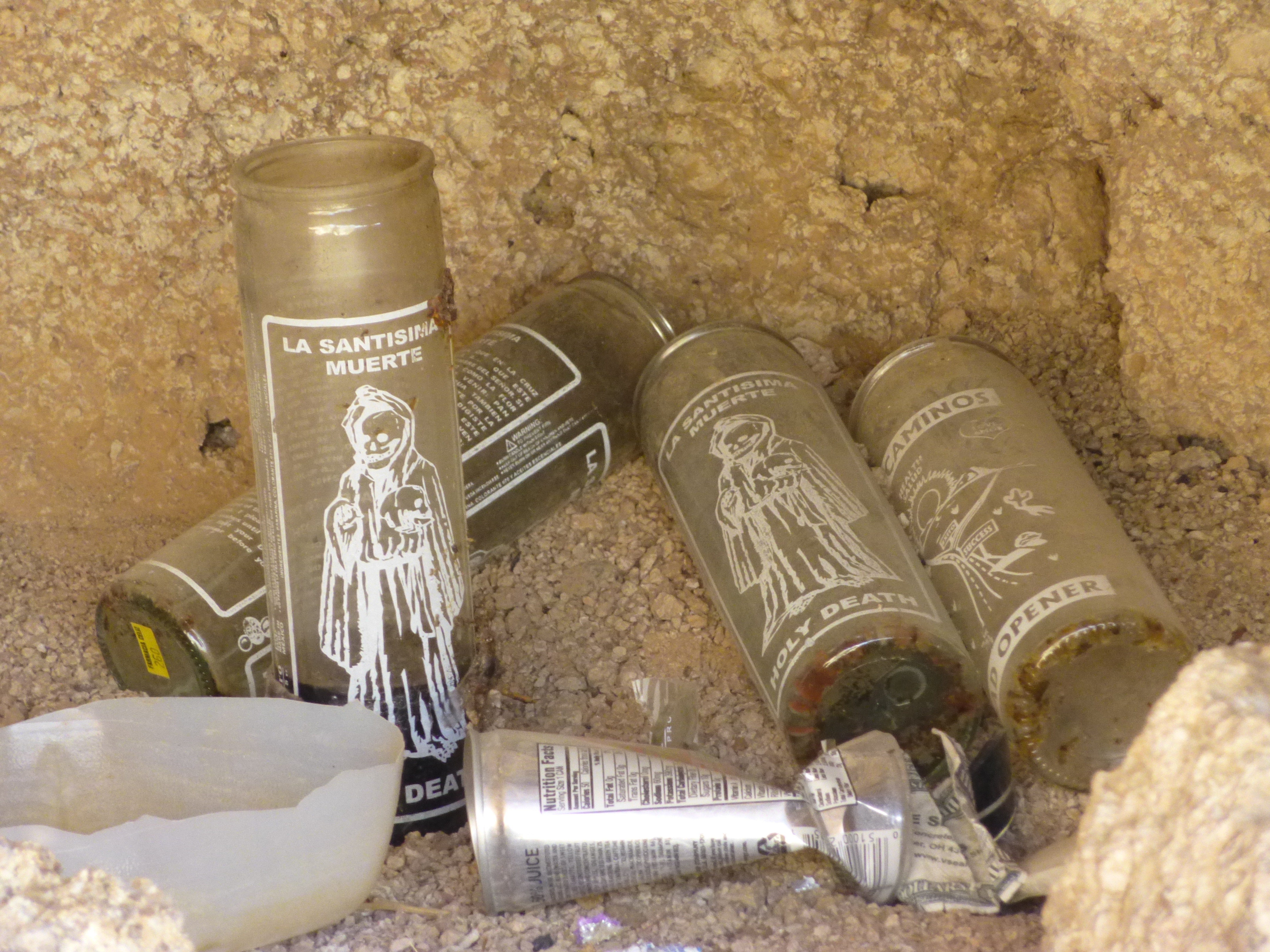
Votive candles in the cave.
Passing up through a small class 3 notch, we continued up the final slope to the summit of Peak 2451. A small cairn sat there, no doubt left by fellow peakbagger Bob Martin back in 2002, but his register was long-gone, destroyed by these trespassers.
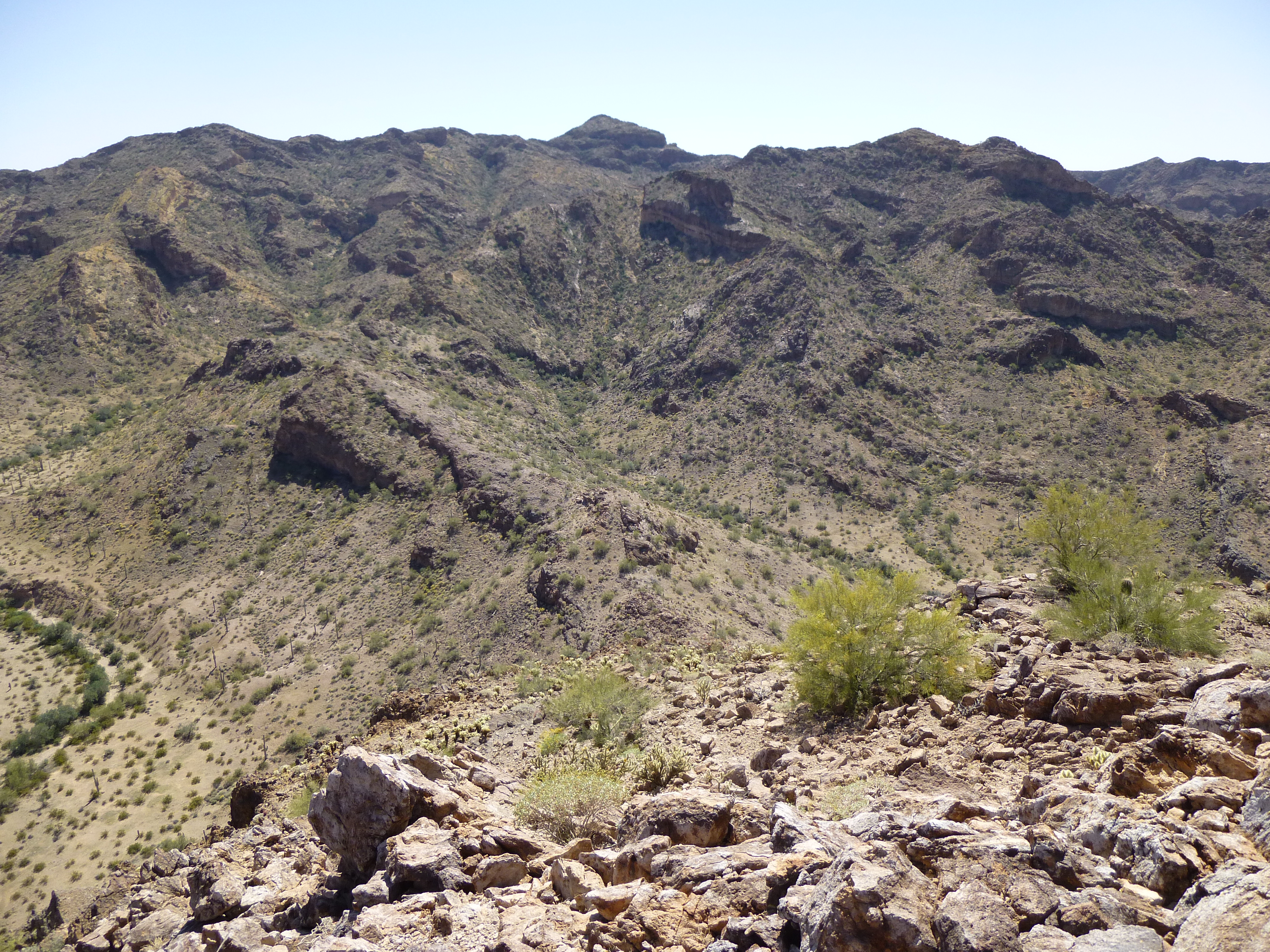
After a short stay on top, we dropped down to the saddle once again. The next part of our journey seemed daunting – from that high vantage point, our route dropped steeply down into a huge canyon. Its bottom was 1,000 vertical feet below us, parts of it still deep in shadow. Out goal was a second peak, out beyond the lower end of the canyon, but what awaited us in the labyrinth below? Part of a route directly below us disappeared over a cliff and into the abyss, so rather than roll the dice and possibly get cliffed out, we chose to do a descending traverse to the east, then dropped steeply down a rib to the canyon bottom. This went without difficulty, and before we knew it, we were down.
In the canyon bottom, our first surprise was the trail. It was as plain as day, and we were sure it had come from the saddle above – it had obviously taken a different route down than ours. And the trash! It was déjà vu all over again. Sadly, this spectacular canyon bottom was littered with the leavings of Bad Guys just like we had seen above on the walk in from the truck. This seemed a stroke of luck – hopefully later, we could use this new-found trail to climb back up from the canyon bottom to the saddle.
The trip down the canyon was tricky – it was filled with brush and boulders. In places, we came to waterfalls (nearly always without water here in the desert, but waterfalls nonetheless) which had to be given a wide berth. Eventually, the slope of the canyon bottom eased to almost flat, then widened. As it did, we came closer to our next peak, and it was a real doozy. We approached its south side, and saw that it reared up frighteningly from the flat ground at its base. Good Lord, there was no way up that wasn’t death-defying! Every possible path up this side ended in some vertical cliff. Once I thought I’d picked out a line that might go, but Ethan stated in no uncertain terms that it looked like lunacy to even try.
Peak 2006 , the south side. No obvious way up through the cliffs
So, we had no choice but to keep going around it on its east side – gad, what a beautiful valley we were in – something straight out of a coffee-table picture-book!
Our valley
Once around the north side, we found what we were looking for – an easier slope took us up the 500 vertical feet. On top of Peak 2006, we found – nothing – no sign of any previous visit, just the way we like it. We savored the remoteness of the spot, the utter beauty of this part of the Saucedas. Walking over to the south side of the summit and looking down, the wall yawned dizzily below us. Here’s a view looking down the south side.
Looking down the 450 vertical feet of the south side of Peak 2006
It hurt to leave, we’d worked so hard to get here, but it had to be done. Here’s a view looking back to the first peak we’d climbed today – it’s the one on the horizon right in the middle of the photo. It seemed so very far away.
A look back to Peak 2451
Once down off the peak, we caught the wash and followed it south – in a mile, the canyon closed in on us once again. By now it was mid-afternoon and plenty hot down in there – once in a rare while, a bit of a breeze teased us. Remember those 3 quarts we’d brought to drink? – hah! I could’ve gone through double that.
We had a confusing time trying to get around one of the waterfalls. Ethan took a spill on a steep, gritty slab and painfully sprained a finger as he caught himself. Deep in the heart of the canyon, where we least expected it, sat a deep pool of water, maybe 50 gallons. It hadn’t rained there for 2 months, so it was pretty nasty, but it would certainly save your life.
We finally reached the spot where we’d first reached the canyon bottom hours earlier. There, the trail started steeply up a side canyon – from this point up to the saddle would be all new ground to us. It was a steep scramble on a lot of open rock, spectacular and challenging. By 4:50 PM, we pulled on to the saddle with its world-class trash. It was truly sad to see such a spectacular spot so despoiled – I’ll bet we’d seen a thousand pieces of garbage that day.
It was all over but the shouting. All that remained was the last 1.8 miles down the morning canyon, which we soon dispatched. Upon arrival at the truck, all seemed as we had left it. What a day! It had turned out to be a lot more challenging than we’d planned on, but nine hours on foot had taken care of it. Both peaks climbed, it had been a very good day indeed, one of many in the Sauceda Mountains, hopefully with many more to come.
Please visit our Facebook page at https://www.facebook.com/pages/Desert-Mountaineer/192730747542690