I quickly reached the valley bottom and then took a break to eat and drink, but the chopper didn’t come back. So, I headed up the west slope of Peak 2820.
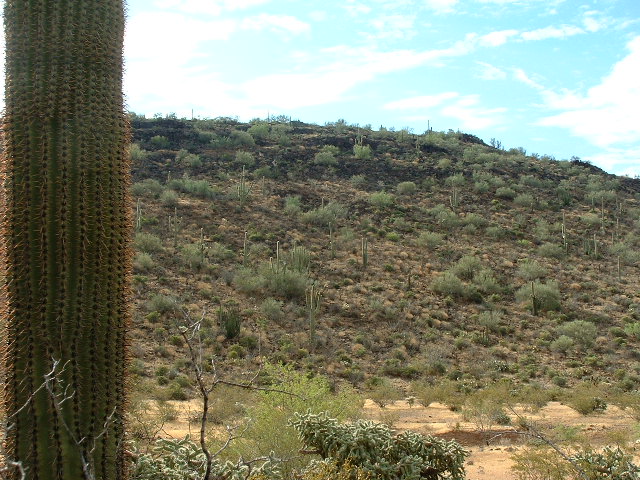
When I was about half-way up, they returned and flew through the valley only about 100 vertical feet below me. For some reason, I was really excited to see them – probably I was thinking I could attract their attention, although in hindsight I don’t know what that would have accomplished. I had stopped and was waving my white hat at them, but I was a needle in a haystack – they couldn’t see me. It made me realize how easy it would be to not be found if you were hurt and really in need of help. I continued to the top and quickly built a cairn and filled out a register. My location was now a mile and a half northeast of Siovi Shuatak pass. At this point, I was thinking that, if I descended to the valley floor, they might come back and see me and give me my fantasy ride back to the truck, so down I went, along the southwest slopes, and was soon in the valley below.
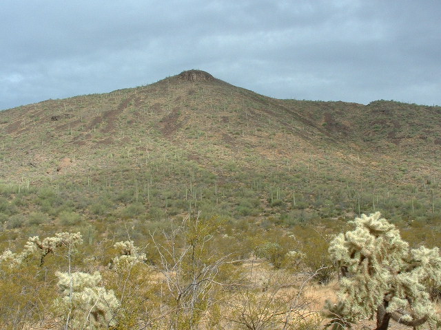
There are three steep rocky hills in this part of the valley, all quite striking, and I was passing just to the north side of 2662, the highest of them. There was trash everywhere, remnants of the hordes of the undocumented who pass through this area. This is a main conduit for those who cross Organ Pipe Cactus National Monument as a means of sneaking into the U.S. There was no sign of the chopper – in fact, I never heard it again that day. By now the sun had come out from behind the clouds, and it was like being in a sauna in hell.
I slogged west, then northwest up another valley. I was, in effect, making a large clockwise loop around Peak 3435. After a while, I left this valley and headed north up a wash to a saddle between Peaks 3435 and Peak 3220 to its west. From the saddle, I could finally look to the northwest and see my truck parked on the desert floor below. It was all over but the shouting. En route to the truck, I drank the last of my Gatorade and water. I had been rationing it, realizing that I had not brought enough – I would have drunk twice what I did if I had had it with me. Once back at my vehicle, I enjoyed ice-cold drinks from my cooler and even ate a bit. The heat really kills your appetite, so you end up wanting to drink a lot and eat very little.
After a short rest, I drove back out to the village of Gu Vo. Riding in the air-conditioning rejuvenated me and I was ready to climb one more small peak. It was just a mile and a half to the northwest of the village, a prominent little hill with a benchmark on it called “Kerwo”. I was able to drive in quite close and parked just SSW of the summit.
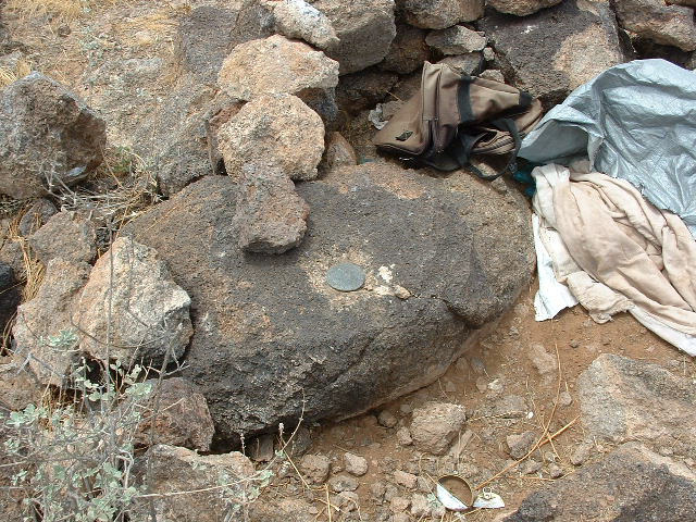
Kerwo is one mile south-southeast of Peak 2720. By now, the combination of the heat plus the humidity was really uncomfortable. It felt like a typical summer day in the midwest or back east. I sucked it up, put on my pack and a short while later I was on top. The commanding view of the village of Gu Vo was, sadly, ruined by piles of trash littering the summit, all of which had been left there by the undocumented. It really chaps my hide how this littering is ruining our beautiful desert. Anyway, I found the benchmark buried under a pile of trash, enough to fill a small dumpster. I took some pictures and left a register, although, with the amount of traffic this peak sees, it is doubtful my register will be there for long. For those of you unfamiliar with a benchmark, in this part of the world it is usually a brass disc cemented to a solid outcropping of rock. In the case of Kerwo, it was placed on top of a large rock.
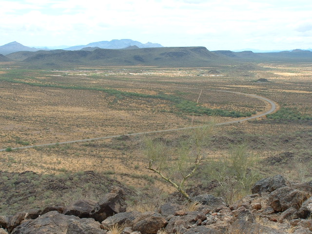
The next photo, which is also the last, shows the village of Gu Vo as seen from Kerwo. It appears as a white area below the long dark mountain. The Mesquite Mountains can be seen on the distant skyline.
For anyone else coming to climb Kerwo, due east of it is a pullout to a little shrine along Indian Highway 1. There is a parking area there, and it would be much quicker to climb straight up from the shrine to the summit.
I descended to the truck, changed into clean dry clothes and drove back to the paved Highway 1. It is a 15-minute drive north to Arizona Highway 86. When I reached 86, I thought I’d stop to chat with the Border Patrol, as I saw one of their vehicles parked there by the observation post. When I pulled up, a young female officer who couldn’t have been older than her early twenties came out. We had a nice talk. She said she had recently been transferred from Texas to the station at Why, Arizona, although she spoke with a thick New York accent. I told her how their chopper had seen my vehicle earlier and that I had been climbing in that area. I went on to mention that for the next year I’d be out in her area, in the far western edge of the reservation, to climb the 69 peaks I still had left to do to finish my project. She wrote down my license number and said that the next morning at their muster in the station she’d tell the other officers who I was and what I was doing so they wouldn’t be too surprised to see me out in the back country. I thanked her and wished her luck and drove home, my head filled with good thoughts of climbing in the Ajo Range.
Please visit our Facebook page at https://www.facebook.com/pages/Desert-Mountaineer/192730747542690


