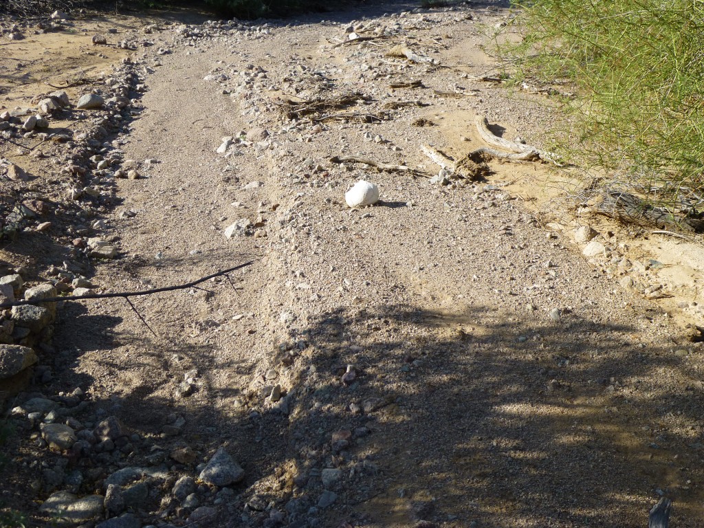
It was the best of climbs, it was the worst of climbs. It was our fourth day out in this remote area. We had just climbed a nice peak and seen some bighorn sheep on the way down. That felt great, and we talked excitedly about it as we headed to our next summit. Then it happened. We were walking through the braided channels of a wash when Jake called out to me “Hey, you’re not gonna believe this, you’d better come and have a look!” He was about 50 feet away and behind some trees. I walked over to him and my jaw dropped. Even from a distance, I knew immediately what he had found.
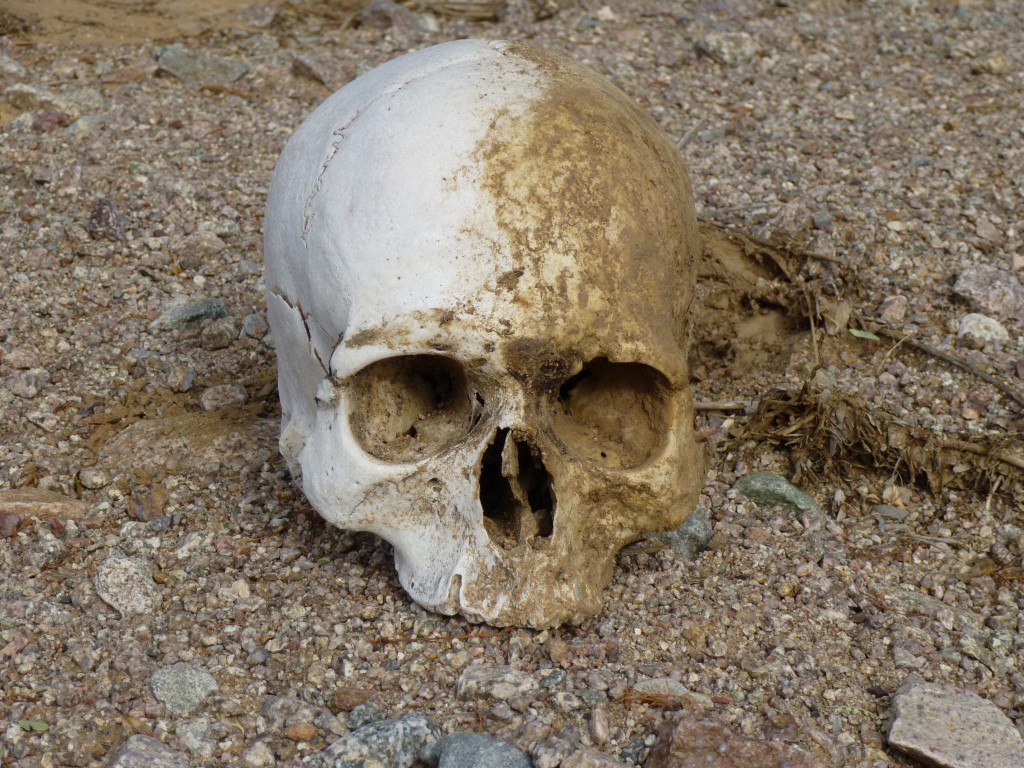
It was a human skull. What a stark moment. As we knelt beside it, I recall the only words we uttered were “Oh My God” in hushed tones. The skull was lying on its side, partly buried. I carefully picked it up, brushed off some of the dirt and set it aright. Once the initial shock passed, we looked around the area for more bones, but found none. Who was this poor soul who died out here, alone in this harshest of lands? We hoped that, if we reported this find to the authorities, perhaps DNA-testing could identify the person and give some closure to their family.
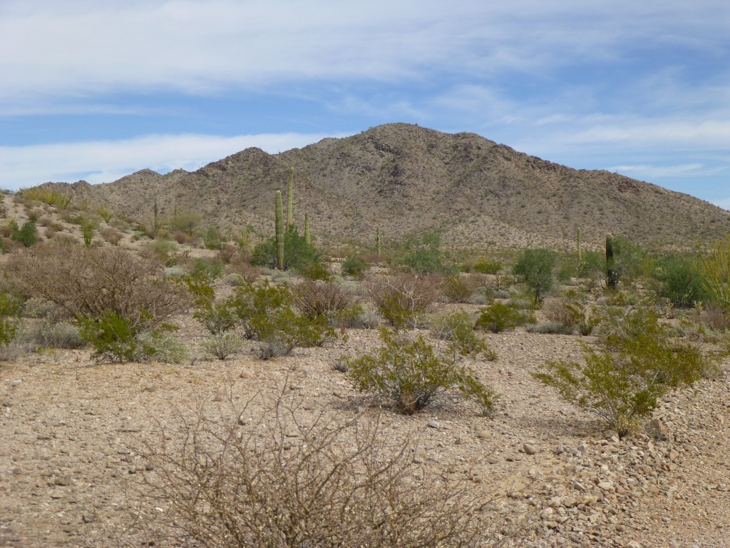
But let’s rewind to the beginning of this memorable trip. We had entered the Agua Dulce Mountains from the north, near Papago Well. It was a hot day, in the low 90s, and it felt like it as we covered the five miles of decaying roads to arrive at our first peak of the trip.
By early afternoon, we stood looking up the south ridge of Peak 1678. The bit of a breeze felt good as we stepped on to the summit. We were the first climbers there, so left a register in the cairn we built.
Down we went back to the road. Fortunately, the mountains in this range were grouped pretty tightly, so it wasn’t all that far to the next one.
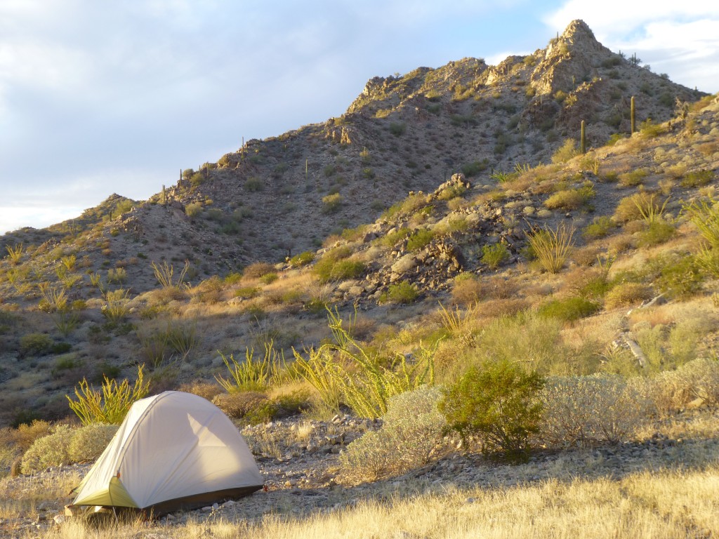
A mere two miles of travel along old roads brought us to our next destination, Peak 1706, which also appeared unclimbed. It was the work of an hour to climb it and return to the road. This one we did by its northeast ridge, and on it too we left a cairn and register. Our long day’s journey was almost at an end – all we needed now was to get to a good place to camp for the night. That we did in another 2.5 miles on old roads, and that put us at a place marked on the map as Bassarisc Tank. When we finally got there, we were at the head of the east fork of Davidson Canyon. And there was water! A sort of catchment had been built here, which had the ability to capture and hold any rainfall. Monsoon moisture still sat in the small reservoir, a boon to both wildlife and humans.
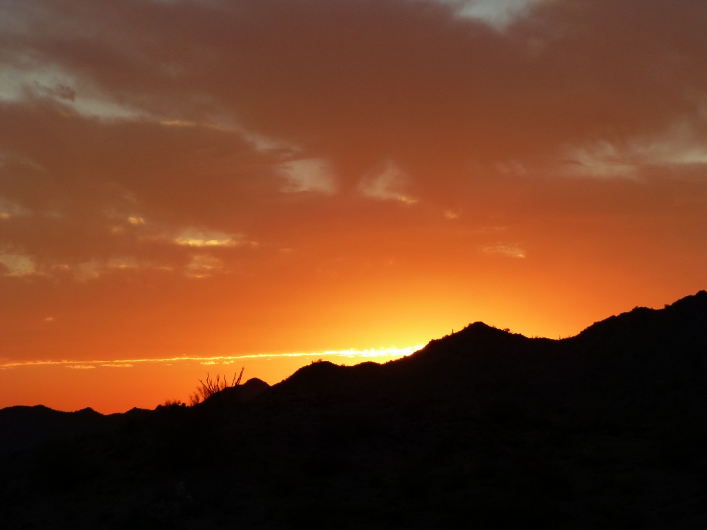
It was hot in the late afternoon, still 92 degrees as we cooked a meal. After we set up camp, a few high clouds had moved in and made for a beautiful sunset.
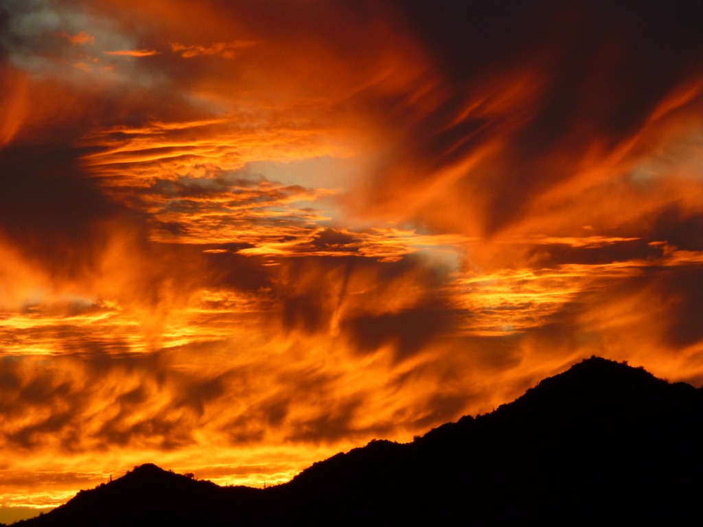
In fact, the longer we sat there, the more insane the colors became. It was out of control. I still maintain that the best sunsets happen in the desert. Check this out – am I right?
The tank here must have been named for Bassariscus astutus, or ring-tailed cat, not one of which we saw in the days we spent here. However, that night as we sat there in the dark, we witnessed something for several minutes which we could only describe as a UFO. I won’t even try to describe it here, but will say it completely blew us away. Neither Jake nor I are prone to flights of fancy, but we both saw it exactly in the same way and it still puzzles us to this day. Corner me sometime with a bottle of tequila and I could be persuaded to talk about it.
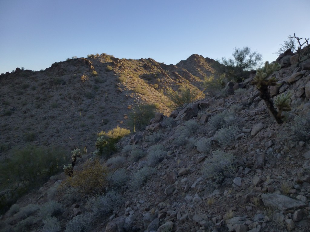
We had a bunch of climbing to do from this camp, so the next morning it began in earnest. Setting out before sunrise with light packs, we headed northeast, over a ridge and down into the next valley. Following the southwest ridge of Peak 1868, we finally stood on its summit two hours after leaving camp. It was one convoluted ridge, requiring our full attention.
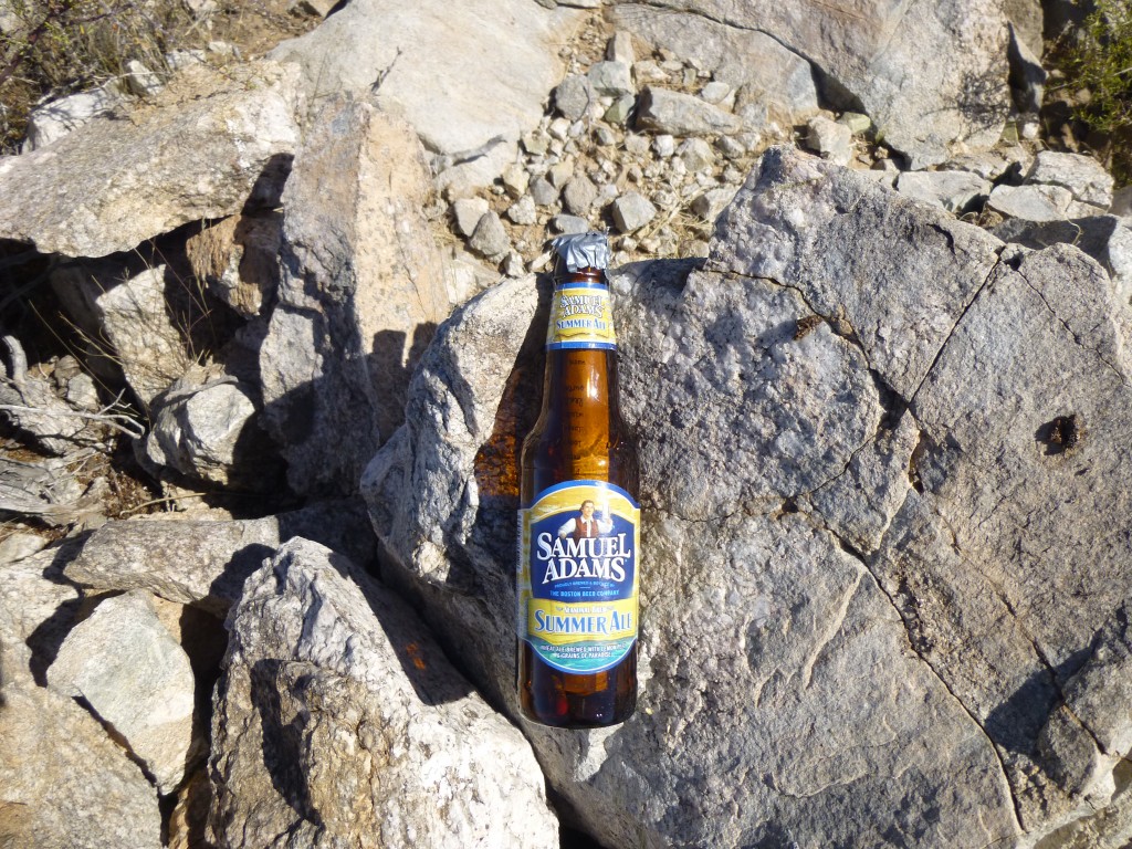
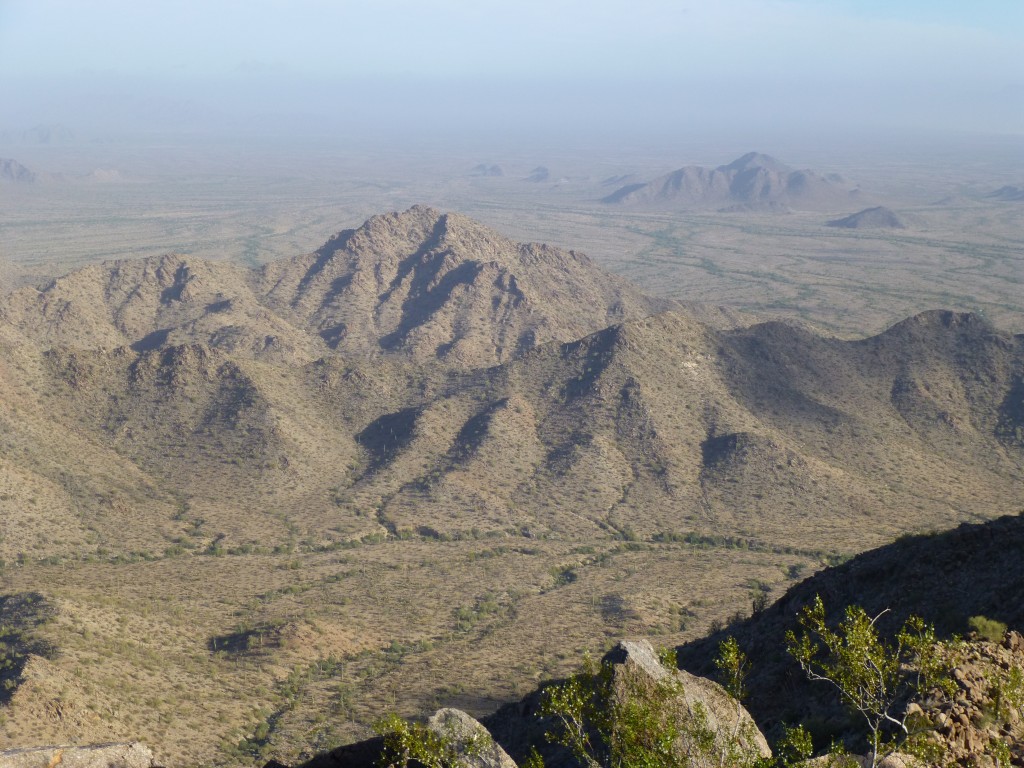
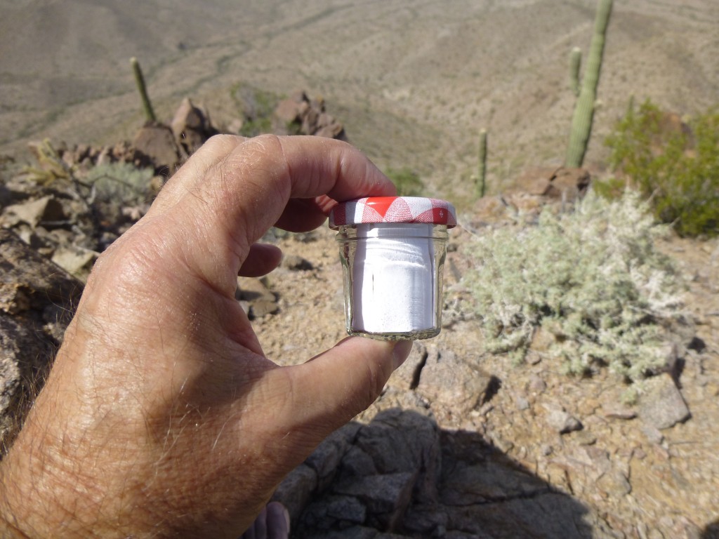
On its summit, we found a cairn and register, which we expected. Two climbers had been there 18 years previously. Great views out over the open desert of the Growler Valley to the northeast were our reward. We signed in and left, heading back down the same ridge we had used to come in. Partway along, we bailed out and dropped west down to a canyon, then up the east side of Peak 1802. This too had been previously climbed, as we expected. There was a cairn but no register, so we left one. A custom register indeed, approved by Sam Adams himself.
Getting down off this thing by the south ridge was out of the question, so we opted for Plan B, dropping southeast to a canyon which we then followed steeply up, crossing a ridge and descending to our camp.
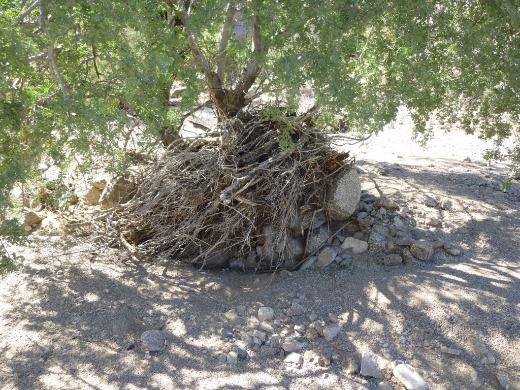
This little adventure had taken six hours and had whipped the snot out of us – well, temporarily at least. After a decent lunch, we got our second wind. It was too early in the day to call it quits, so we thought maybe we could do something less adventurous to finish the day. Just under three miles from camp was Peak 1450, a pleasant walk down a wash the whole way. These desert washes are bone-dry 99.9% of the time, but after a monsoon cloudburst, water can race down them with tremendous force. In this next photo, you can see vegetation wrapped around the tree trunk. Even hundred-pound rocks were lifted two feet off the ground.
This beautiful little peak was untouched – it turned out to be one of our favorites of the entire trip. We left our message in a bottle, then slipped down the steep east side and back to the wash. By the time we got back to camp, the shadows were long. Supper tasted good after a long day of climbing. We passed an uneventful night and slept the sleep of the dead.
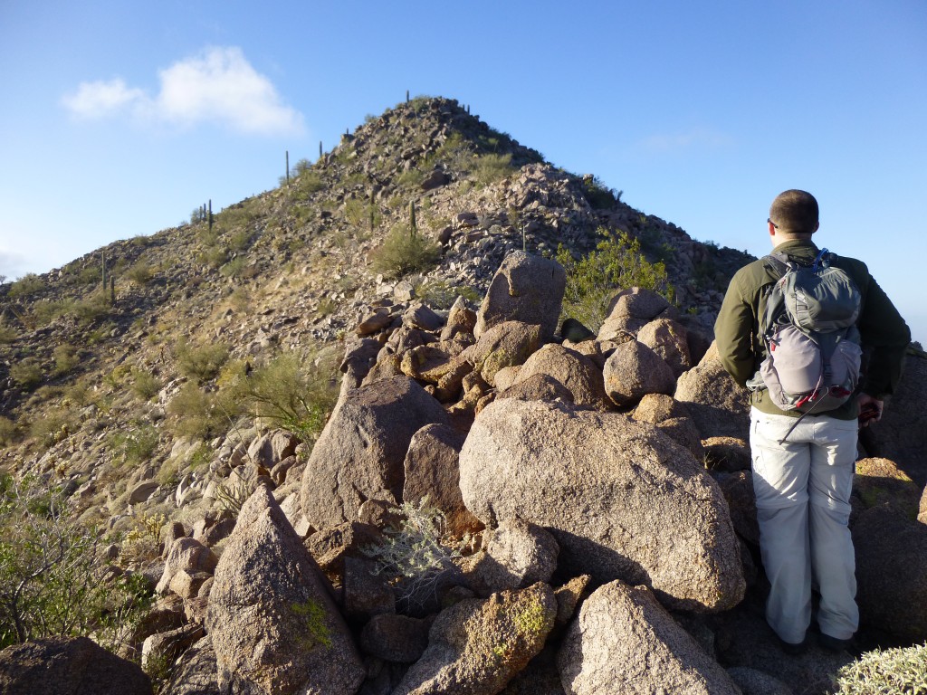
Even earlier the following morning, we were moving. It was cool and very windy, with low clouds scudding swiftly over the mountaintops. By crossing a wash and climbing 150 feet, we found ourselves walking east through one valley and then turning south up another. Peak 2375 was the second-highest peak in the entire range. I was excited to summit, as I’d been looking at it from afar for many years. We’d decided to climb it by the northwest ridge, which offered a bit of nice scrambling on granitic rock. Here’s Jake looking up the last 300 vertical feet.
We knew that this one had been climbed twice, back in ’95 and ’09. As we approached the summit, we saw signs of a previous ascent, but it wasn’t what we expected. There was trash littering the mountaintop, and it became quickly apparent that it had been left by illegals. People had spent some serious time up here. Among all of the usual trash, we found a solar panel and radio equipment. This was a lookout point, or at least had been, for moving immigrants or drugs into the country. It certainly offered a bird’s-eye view over a wide swath of desert over a thousand feet below.
The rat-bastard lookouts had disposed of the climbers’ register, so we left one of our own. It was so cool and windy on the summit that we hunkered down behind some rocks to take shelter and do our paperwork. I doubt we were there twenty minutes before heading back down. Miles to go before we sleep. It was still cool and windy by the time we returned to camp a little after ten. It was time to move on, so we packed up and headed on down the valley about half a mile. Leaving everything by the side of the road, we carried only light day-packs and headed south towards Peak 1970. It was an enjoyable climb of 800 feet to the top. This was one of my favorites of the trip. I loved the virgin summit, and we left what may be the world’s smallest register.
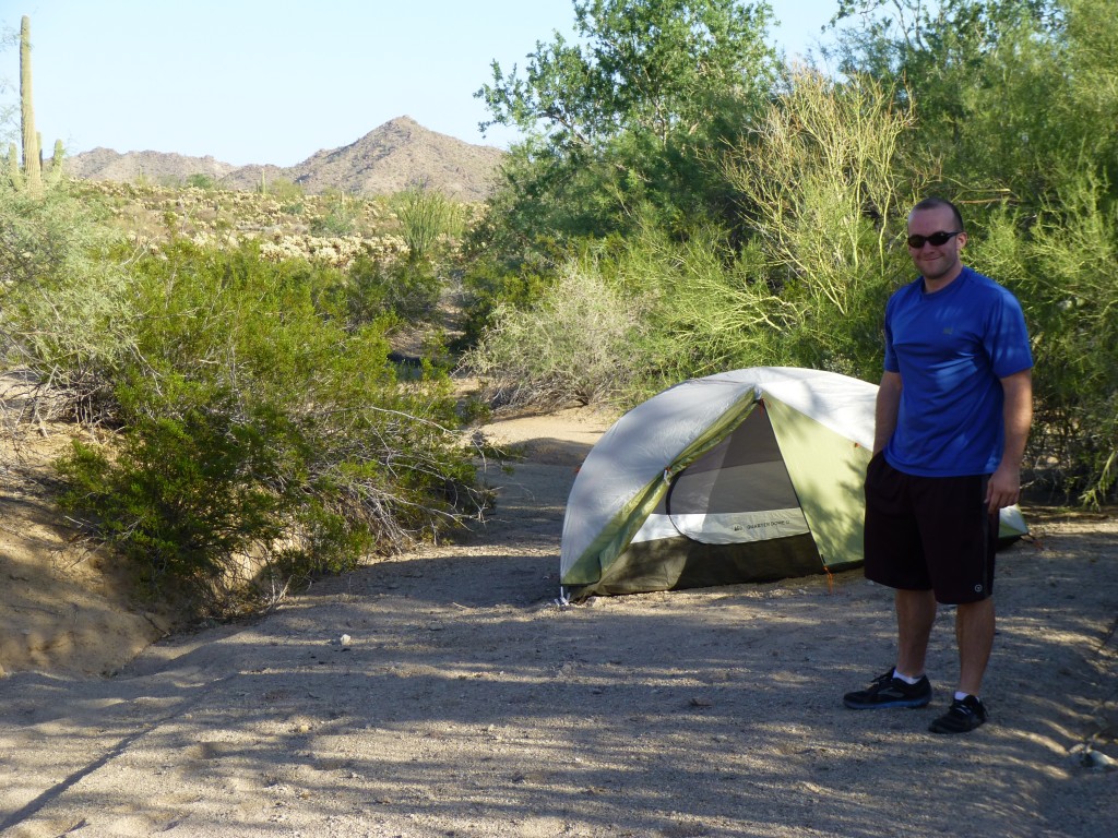
Back down to our gear, it was time to move to an entirely different part of the range. It was just over four miles by the shortest route to reach the southern part of the Agua Dulce Mountains. It took a couple of hours, but by around 5:00 p.m. we were setting up camp in a sheltered wash only a mile and a half from the Mexican border.
Stay tuned for the conclusion of this story.
You can also visit us at our Facebook page at: https://www.facebook.com/pages/Desert-Mountaineer/192730747542690

