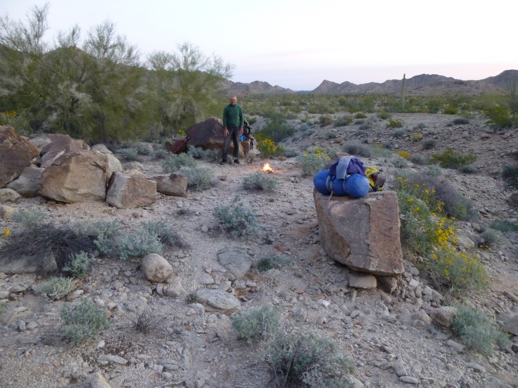
Day 6: Came the dawn at Camp Three – we nicknamed it “Camp Misery”.
Although we dreaded shouldering those packs again, we couldn’t wait to get out of that place. Moving by 6:30 AM, we headed northwest, and in a mile and a half reached the spot we had hoped to reach last night. It was perfect – flat, in a wide sandy wash, with plenty of trees around us. Camp Four! Our original plan called for our spending three nights camped here, as there were six mountains we could climb from this very spot. Oh well, at least we’d get two nights. I can’t tell you how happy we were to be here. Quickly forgetting the misery of carrying our loads, we set to studying our maps. Six mountains to climb, and none of them trivial – all we had to do was cobble them together into two days that made sense.
Mark suggested heading out straightaway, climbing two of them in one push to start off the day, and returning to camp later. It was still early, before eight o’clock, when we set out.
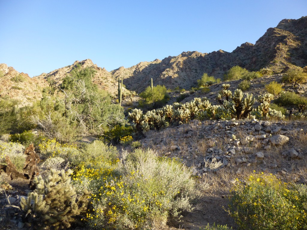
Our camp was at an elevation of 1,060 feet. A short walk up the valley, carrying light day packs, brought us to a steep canyon. Climbing that to a saddle at around 1,900 feet, we then saw our first peak of the day.
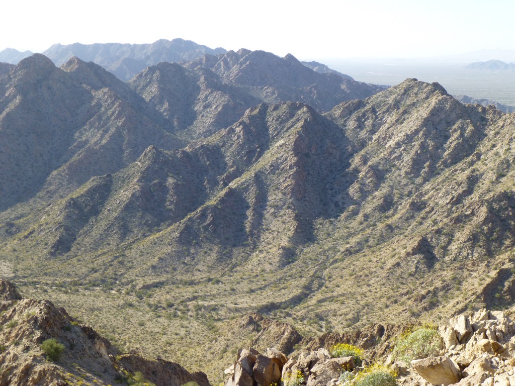
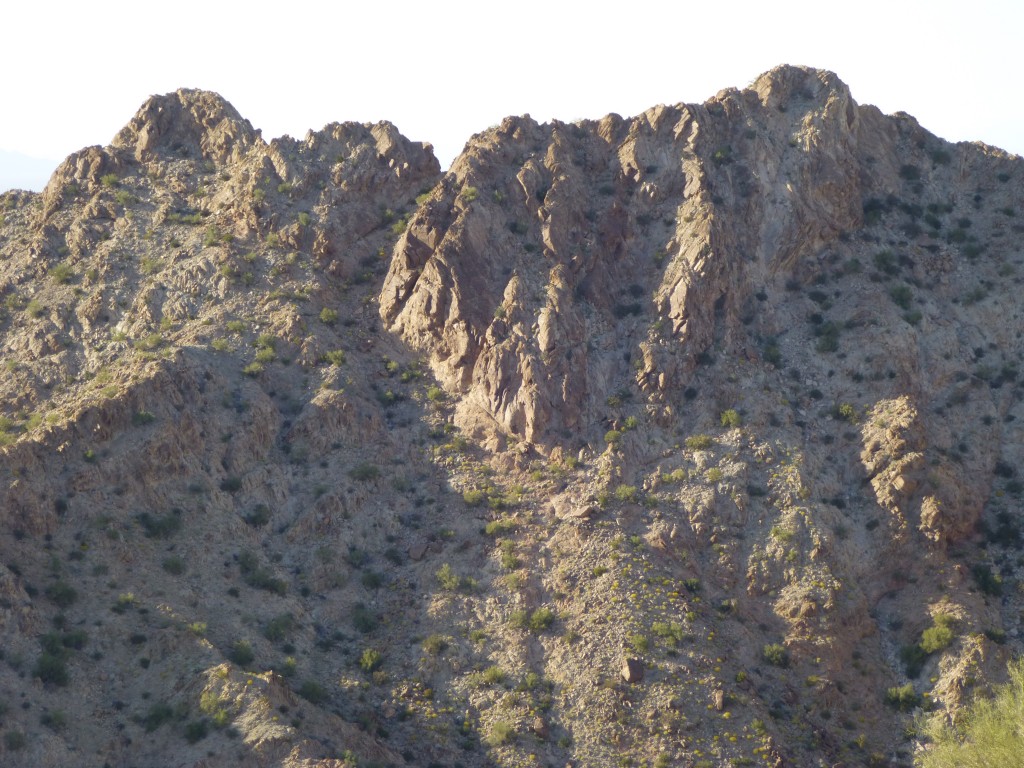
Only 200 feet above us stood the top of Peak 2096. It was a cool, fresh morning and we quickly topped out on its summit. Signs of mountain sheep were everywhere – plenty of poop, some of it quite fresh. And patches of bare dirt, where they had used their hooves to move rocks out of the way to fashion a place to sleep. This was a steep, airy spot with views to die for. Speaking of dying, here’s a shot from the summit – barely a mile north of us along the ridge sat the highest point in the entire range, Granite Benchmark, at 2,490 feet.
Mark and I had both climbed it years ago, so it wasn’t on our list of things to do on this trip. It’s a hard peak to reach, as it’s a long way from anywhere. Only a few years ago, a man set out from Charlie Bell Pass, where our vehicles were now parked, to climb it – in August – not smart! He died in the attempt, done in by the heat.
It was 9:30 when we had summited, and as we sat there, we studied the terrain to the west. What we had to do now was make our way over to the next peak. The terrain looked rough and problematic, but there seemed to be one way that could work. It involved dropping down a couple of hundred feet and getting on to a ridge, then picking our way down through a series of steep gullies. That we did, and it worked out. A drop of a thousand vertical feet put us down on the desert floor, but on the west side of the range for the first time.
All we had to do now was climb straight up the steep south side of Peak 1552. Even though it was only 11:30 AM, it felt hot as we did it, and we were glad to get up to the summit where a nice breeze cooled us off. Something had been bothering us – what would be the best way to climb two peaks across the valley to the south of us? There was a pretty straightforward way up each one on their north sides, but could their connecting ridge be traveled without getting into a world of hurt? If it could, that would make our tomorrow much easier. Hmmm, we were left with unanswered questions as we dropped down off our peak. Once again at its base, we had another decision to make – which route to take to most easily get back to our camp? No matter how we did it, a climb of at least 600 feet awaited us.
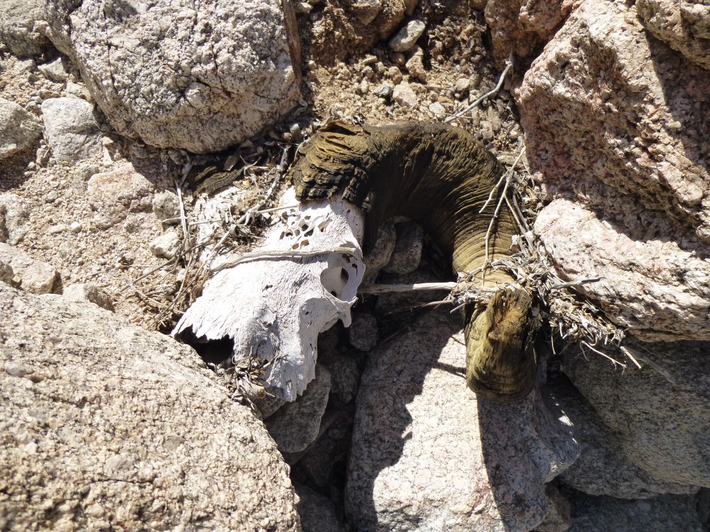
Carefully picking our way back up a series of gullies, we headed for a pass at 1,550 feet. En route, we found the remains of another bighorn ram.
Over the pass we went, then east down another canyon. It was pretty easy going, and there we were back in camp just before two o’clock. Six hours had passed in climbing both of those peaks, but we felt okay. If we were to stay on our schedule, it was imperative we climb at least one more before the day was out. I suggested we head out and climb the closest one to camp, as it could afford really good views of three others and answer a bunch of questions.
Gluttons for punishment, we only gave ourselves a brief thirty minutes in camp, then set out once again. One of our friends had said that there was a small chance he might come in and join us for some of these peaks, and if he did, he’d find us here at our Camp Four. No sign of him yet, though, so up some steep gullies we went, heading southwest from camp. That ended us up at a saddle, but not the one we’d eyeballed from below. Farting around on some steep terrain cost us a bunch of time, but finally we got things straightened out and made it to the top of our goal, Peak 1939, at 3:55 PM. As on all of these peaks, there was no sign of any previous visit. We soaked up the views in every direction. Good news – the lines we were contemplating for the next day all looked do-able, so we were encouraged.
Down we went, nearly all the way in the shade as the sun dropped lower behind the opposite side of the range. By the time we reached our beautiful camp, it was almost 5:20.
Something funny – I took off my long-sleeved climbing shirt which was soaked with sweat. In the bone-dry air, it dried within minutes, but it was so stiff and caked with sweat, salt and dirt that I found it could stand up by itself. It was hilarious, I only wish I had taken a picture of it. After cooking some food, we enjoyed a camp fire for a bit, but were so tired we went to bed early.
Day 7: up again at zero-dark-thirty, our pace was relentless. We cooked our oatmeal and gagged it down (how I grew to hate oatmeal!). Before sunrise, we were high up on a slope, watching the day begin.
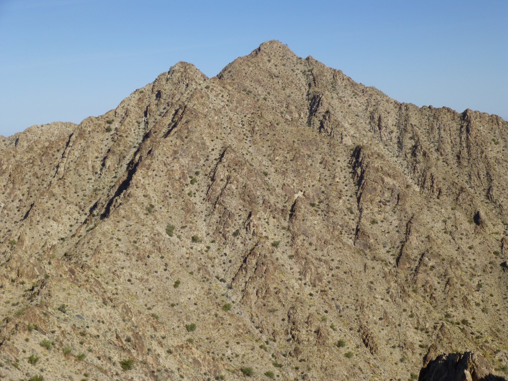
Our goal today was to describe a big loop, bagging all three of our peaks in one push. From a saddle at 1,600 feet, we climbed north up a steep ridge to a point a couple of hundred feet higher. From there, we studied the route ahead. It was all granite outcrop, huge slabs and boulders. Tricky, but it looked like we might make it, at least as far as we could see. Here is a photo of Peak 1982 that we took the previous afternoon. Our route came up the skyline from the right edge of the photo. Although maps showed the bump on the far left as the high point, it wasn’t. The bump on the right was clearly higher, at least 10 feet according to our hand level.
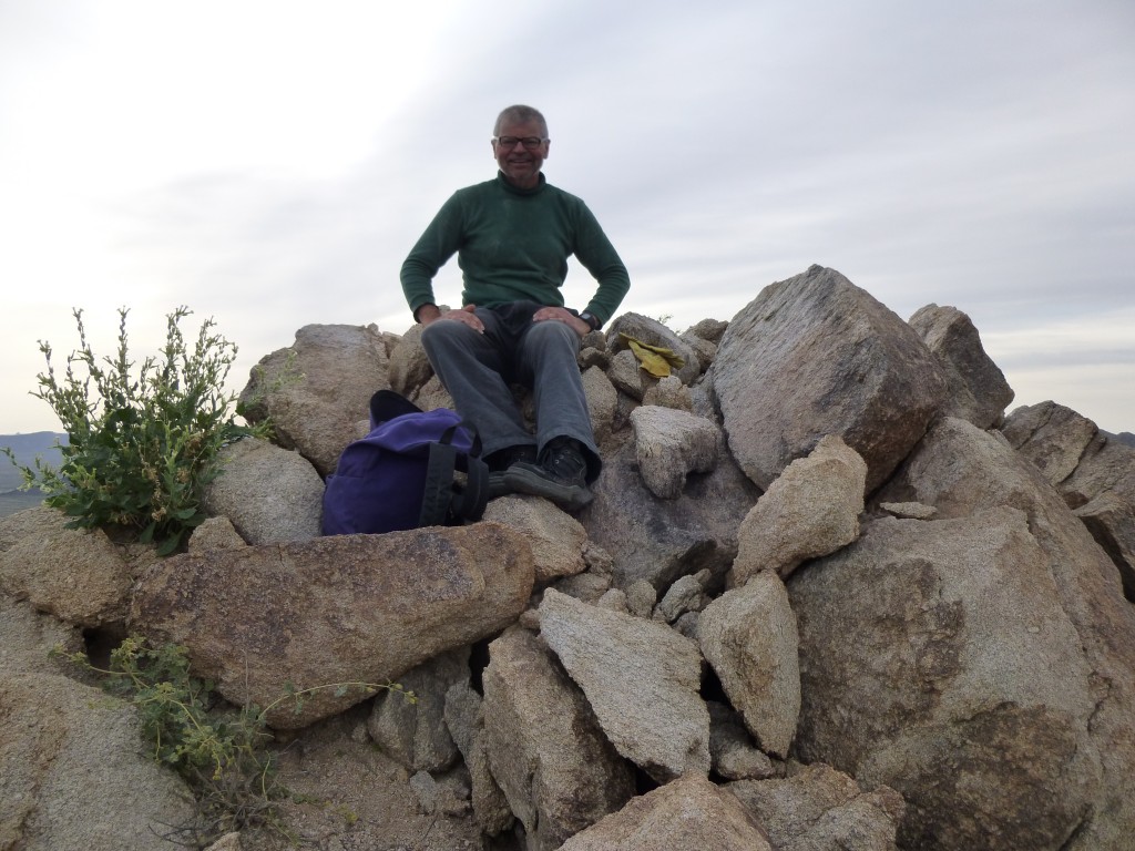
The route was exciting and sustained – after each section, we’d study what lay ahead. There was a lot of Class 3, and the quality of the rock was excellent. Bit by bit, we kept climbing, moving ahead, and at 8:40 AM we stood on top. No question, this was the best climb of the trip so far.
The first thing that caught our attention was that a contending point to the southwest was at least ten feet lower than where we stood. Good thing, too, as it looked like no easy task to climb it. As usual, we didn’t stay long. Our biggest concern for the day still lay ahead of us.
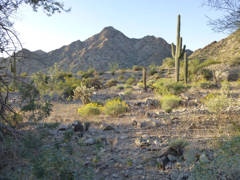
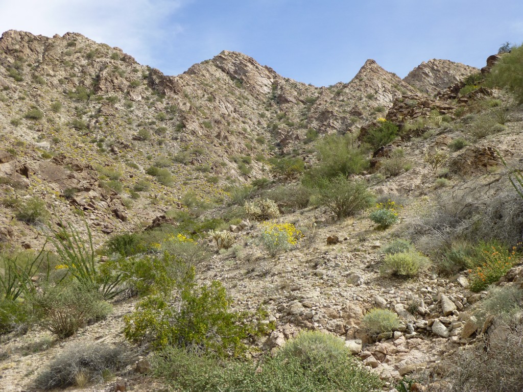
A tortuous ridge almost a mile long, parts of it still hidden from view, stood between us and our next peak. There was a lot of up and down on the route. Our luck held, we persisted, and by 10:30 we stood on the summit of Peak 1936. The good news here was that now we had climbed the two that had most concerned us – they were in the bag. All we had to do now was get off the thing. Choosing a steep, loose basin to the south proved to be a good decision. By 11:50 AM, we were sitting under a shady tree in the valley bottom at 950′ elevation, eating our lunch. Just a snack, really, as with the exertion and heat (I know, most of you wouldn’t call 75 degrees F. hot, but even in winter, the sun has plenty of strength at our low latitude) we never had much of an appetite during the day. This next photo looks back up to the peak, seen on the skyline just to the left of center.
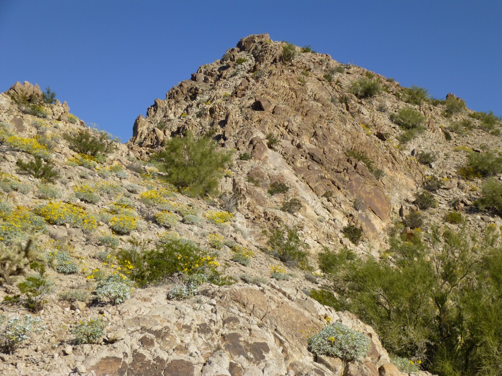
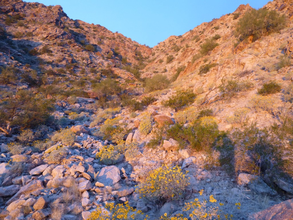
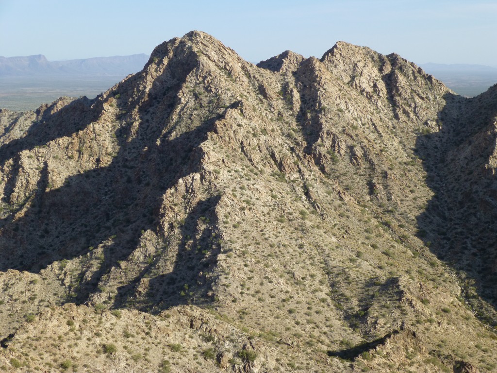
It felt good to stop for a while. Our feet were sore, but we were optimistic about finishing the day with a flourish. The next task was to head east up a fairly flat valley for another mile – no big deal, but oh, the gullies! One after another, some of them deep, they add a lot to the vertical footage you need to climb. By the time we reached the base of Peak 2069 on its west side, we were hot and tired. It took everything we had to drag our asses up that thing. When we reached a saddle to the south of the summit, a sharp bump farther south gave us pause. Crap, was it higher than 2069? It’d better not be, as the extra effort to climb it after first getting on top of 2069 would’ve been just too much. Fortunately, our luck held. There was some excellent rock en route to the summit, and there we were. Here is a look at the northwest side of the peak.
Jeez, it was already two o’clock! We left a register, then decided on the northwest ridge as our escape route. Mark was skeptical, as this was one steep ridge. Moving carefully, we dropped down to a saddle, then down a steep canyon on the north side. It all worked out. The advantage of this was it took us directly down to camp.
Just after 3:30, we were back in our beautiful Camp Four. Remember I said we’d originally planned to be there for three nights? We’d already missed out on one of those nights, and now were on the brink of another big decision. All day, a major topic of conversation had been our water supply. As staggeringly heavy as our loads had been when we headed out of Camp One, most of it had been water. Days had passed, and that water was being consumed for both drinking and cooking. Now, our supply was getting low. We were trying to conserve as much as possible – I was even dry-brushing my teeth – but it was fast disappearing. There was a lot less of it now, and we had discussed trying to get a bit ahead of schedule, to finish as soon as possible so we didn’t run out of water in some desperate place far from help. It broke our hearts, but our final decision was to leave.
Please stay tuned for the conclusion of the story, which will be called Granite Mountains Expedition – Part 4.
Please visit our Facebook page at: https://www.facebook.com/pages/Desert-Mountaineer/192730747542690

