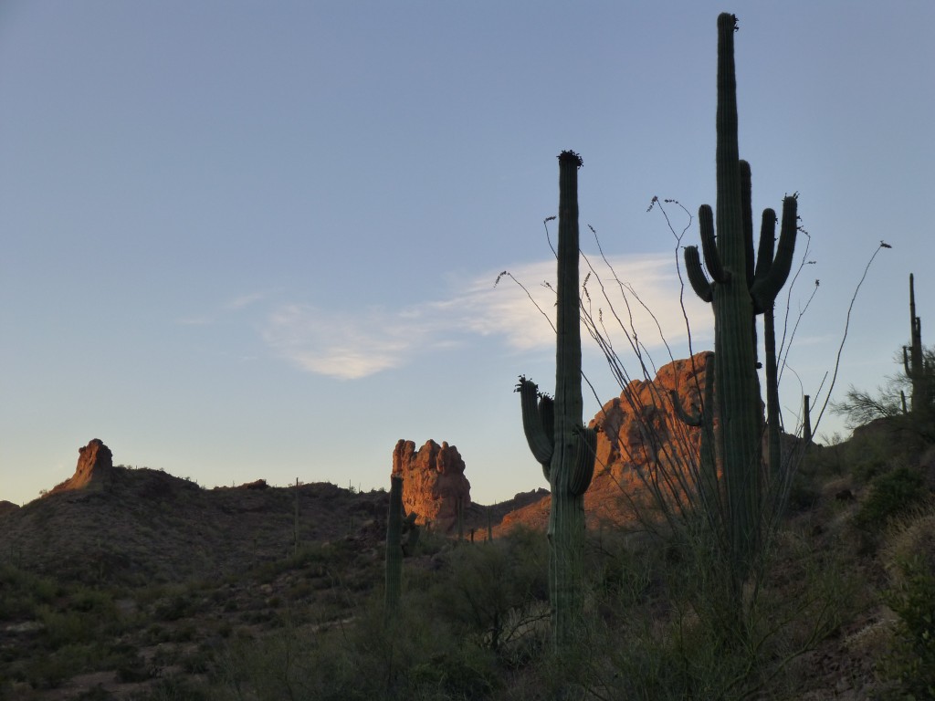
Summer has rolled around once again, and here we are in June, our hottest month. Now, some may question the logic in going out to climb anything in the low desert at this time of year, but the mountains are still there and need climbing, right? Their call can be overpowering, and can make you do things you otherwise wouldn’t. I had been telling Jake about some remote and attractive peaks in the Sand Tank Mountains, but it took us several tries to coordinate our schedules so that we could go together.
The town nearest our goal was Gila Bend, which, because of its low elevation of 750 feet above sea level, suffered terribly hot temperatures. With a forecast high of 113 degrees F. looming a few days off, we picked a Friday for our trip. Jake woke up at 12:45 AM and soon headed out, driving across town to my home. I was all set to go. and it only took a minute or two to put all our gear into my truck. At 2:00 AM, away we went. Seventy-five miles later, we left Interstate 8 at Vekol Road. It was now almost half-past three.
Moments later, as we started south, we saw an unlit vehicle parked off to the side of the road. It was as if it were watching for passers-by. We ignored it and continued, covering the seven miles of good dirt road down to South Vekol Well. It was still dark, so we were using the GPS to verify our position as we traveled. What mattered most was heading the right direction at each of the many road junctions we passed. Just past the twelve-mile mark, we entered an area that was, technically, a part of the Barry M. Goldwater Air Force Range. Although no longer actively used by the military, a permit is still required for its use, which of course we had. Five miles of rugged roads later, day was breaking as we parked in a deep canyon. I left the truck right in the middle of the road, thinking that nobody would try to get past us because the road went to hell in a handbasket after that point. It had taken us over three hours of driving to get that far.
It was going to be hot, and we needed to get moving before the sun did us in. We had been drinking copious amounts for the previous 24 hours, and also as we drove in this morning, so that we could be as well-hydrated as possible. As much time as we had allowed for the long drive in, we had still burned an hour of precious daylight by the time we set out on foot at 5:45.
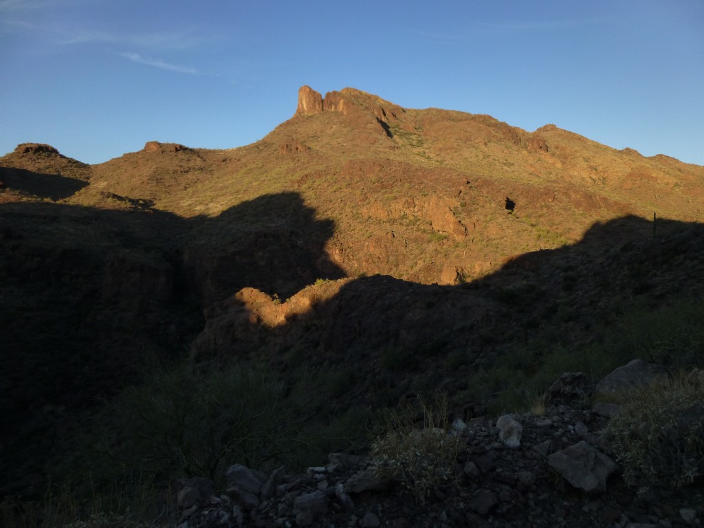
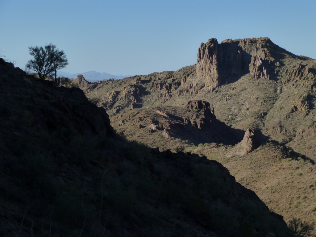
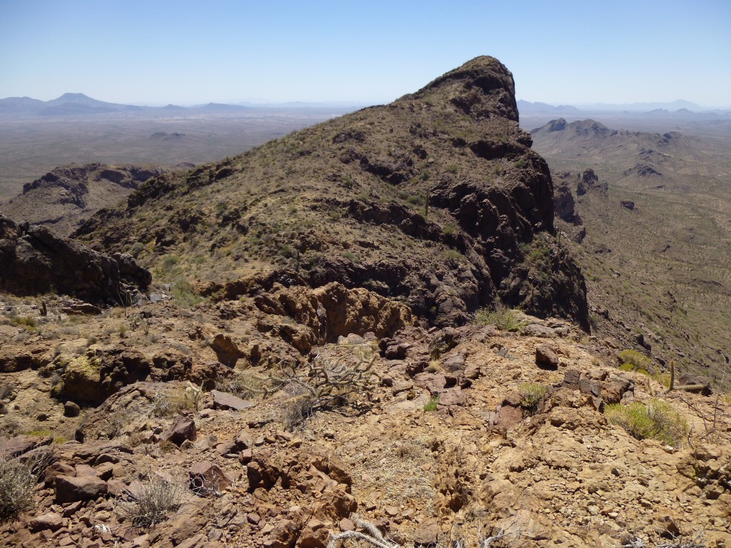
As we walked the old road steeply uphill, it was obvious that it was undriveable beyond where we had parked at 2,800 feet. It served us well, though, gaining 600 feet in a mile and a half, then abruptly stopped. The easy part was now over, and it was time to head cross-country into unknown territory. Peak 3940 was what we were after, but it was a long way off and we couldn’t see it. The first task was to climb up some 300 feet to a ridge, seen in the next photo on the center skyline.
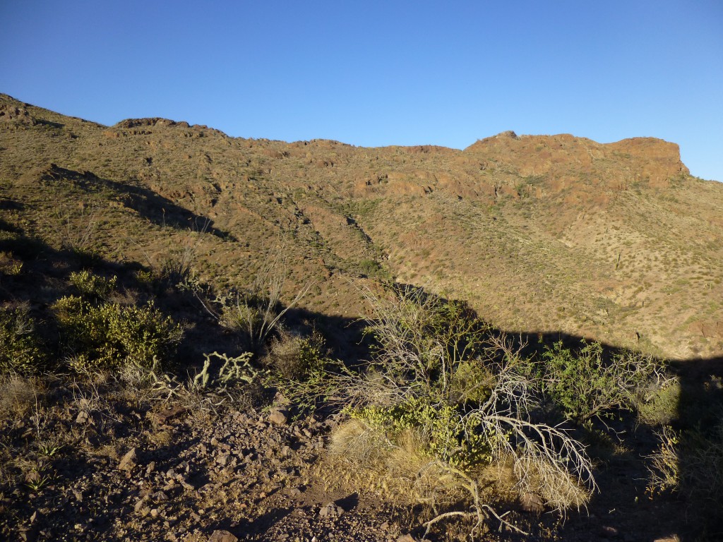
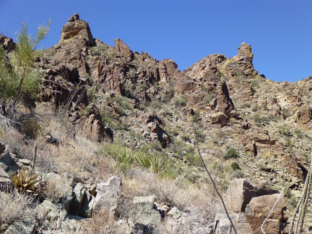
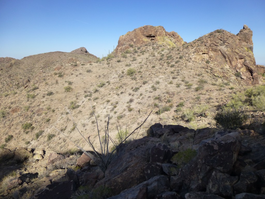
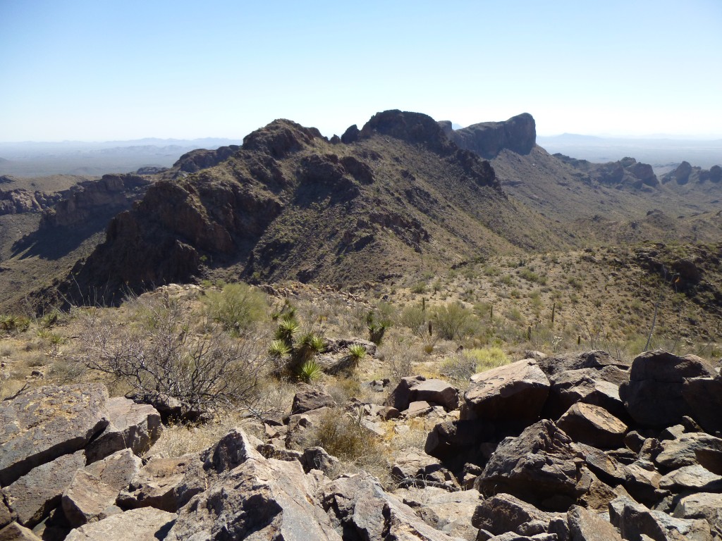
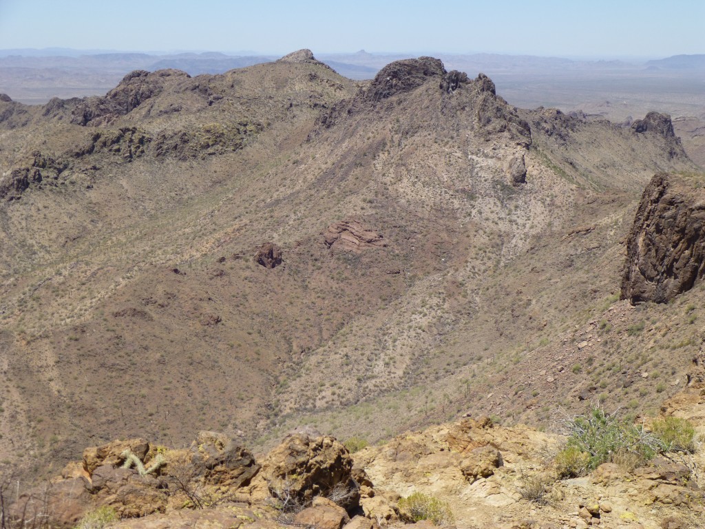
Getting up to the ridge was no problem, but, once there, our path was blocked by some cliffs. They looked risky to downclimb, so we had to outflank them higher up. We still had no view of our peak. From the ridge, we could see farther southwest, but something shown on the map as 3908 prevented us from seeing our goal. In the next photo, you can see what I mean – 3908 is the big bump in the center.
Once down the cliffs, we contoured around in a descending traverse, losing a few hundred feet to reach a saddle just northeast of 3908. The Sand Tank Mountains are an amazing range, filled with unclimbed peaks and stunning vistas.
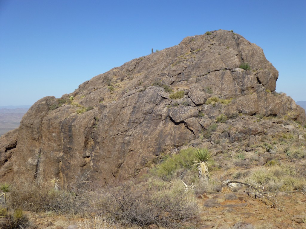
Now, our next hurdle faced us – we had to get past 3908, which actually has two parts, an east and a west summit, both of which rise about 150′ from a common saddle. It didn’t matter to us whether we went around it, over it or through the saddle in the middle. It was hard to tell what would work best, so just pick one, right? From where we stood, we couldn’t see much to help us make a decision. Through the gap is what we decided, and it had better work, because we didn’t want to backtrack. It was now 7:15 AM and getting warmer by the minute.
Crossing over three small bumps, we then started across the north slope.
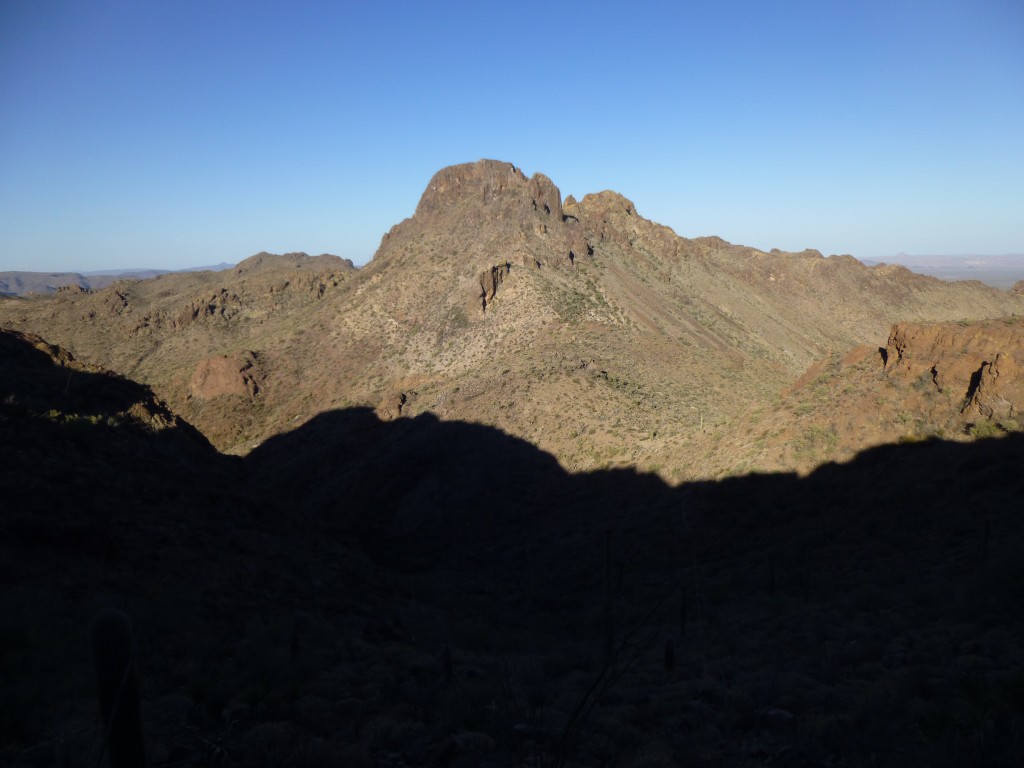
It was hard work, crossing steep, loose ground and talus slopes. In retrospect, this was the most frustrating part of the whole day. We got past it, though, and were anxious to get our first view of Peak 3940. Once at the saddle between 3908’s two parts, we got that first look, and here is what we saw. Dang, it still looked far away! It is the small bump on the skyline, to the left of center, in the distance.
Well, nothing for it but to keep going. We didn’t want to waste time, because the longer we waited, the hotter it got. Dropping down 200 feet more, we reached another saddle. Now, one last push. A gain of 300 feet put us on a gentle rise due east of the summit, where we had a good view of the final bit.
It was steep, and involved some enjoyable rock scrambling. As we walked on to the flat summit, a quick look told us there was no sign of any previous visit. We’d made it, and it was 8:15 AM. That may seem early, but it was late to us. Here in the desert on an extreme day, it can hit 100 degrees by that time.
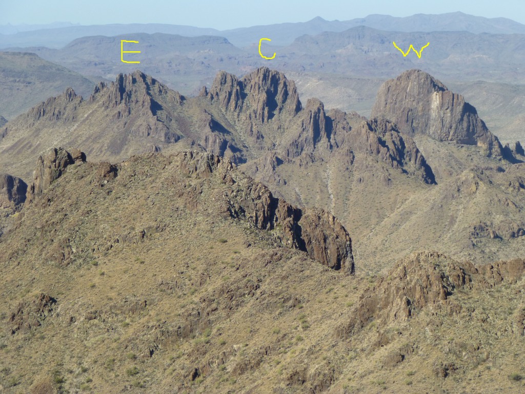
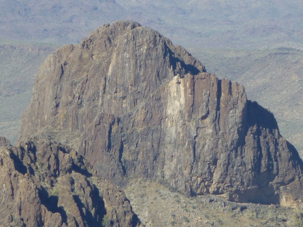
There was a lot to do, and we had to get a move on. No cell phone coverage, natch. Many photos, a video, filling out a register, building a cairn for it, eating lunch and enjoying the view. What a spot! Impressive, inspiring, and a bit hard to believe we were actually out here this far from anywhere. Peak 3940 is the third-highest in the entire range, third out of 61 in the Sand Tanks, which makes it an impressive spot to be. Before we even got there, I knew we’d have an amazing view of Dragon’s Tooth, a fearsome peak nearby which was legendary. I can’t wait any longer to show you the best view that’s ever been published anywhere. I’ve taken the liberty of labeling the photo, as a guide to what you’re seeing. Some folks think that Dragon’s Tooth consists of an east peak and a west peak, but that’s not quite right. In the photo below, the E (east) and C (central) parts together comprise the East summit, in my humble opinion. It’s hard to say whether E or C is higher – my best measurements at other times show them to be pretty much the same. Now, the W (west) summit, that’s another story.
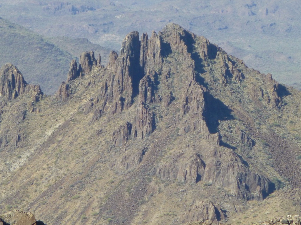
I thought this would be a great opportunity to show a close-up of each of the three. First, the east part, which is a walk-up.
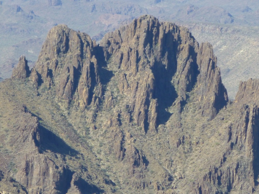
Next, the central part, which is not a walk-up.
Finally, the west part, which is a true summit in its own right. From its saddle with the central part, it rises an honest 400 vertical feet. It was exciting to think that we were only 2.5 air miles from Dragon’s Tooth.
 There’s one more thing I’d like you to see, a video I shot and posted on You Tube. Here’s a link to it.
https://www.youtube.com/watch?v=-jbj8964Xbge
We spent a glorious 45 minutes on the summit, relishing the fact that we were so far from anywhere, but it was hard to ignore the fact that our climbing was less than half done. We still had to go all the way back to near our starting point and climb an even higher peak. Here’s a view looking back to the northeast, to Squaw Tit, the second-highest summit in the range – it’s the one with the vertical drop on its right side.
We re-traced our steps, back down to the saddle and up over 3908, then down to the next saddle. All there was left to do was a long, ascending traverse up to the west ridge of Squaw Tit. It was going to feel really good to be done, because it was getting mighty toasty. As we neared the summit, we saw that it was a false one, and the true one was still some distance off.
Dang, we had to drop 150 vertical feet, then climb another 200 – it was enough to piss off the Pope! At long last, we stood at 4,020′ on the second-highest peak in the range, and it was 11:15 AM – and hot. Here’s a look all the way back to the other peak we had climbed earlier – it’s the little one on the horizon just to the left of center.
Jake had been fighting off leg cramps, so we hurried things up. Signing into the register along with several other prior entries, we took the requisite photos and started down. We chose a direct route down from the ridge – although we couldn’t see parts of what lay ahead, it all worked out. Once on the old road, it didn’t take long to walk back down to the truck. It was 12:45 PM and only 98 degrees, so we had beat the heat after all! Seven hours on foot had done the job. Kipling said “Only mad dogs and Englishmen go out in the noonday sun”, and he was probably right. I know for certain that neither Jake nor I are Englishmen.
The drive back out took an hour and a half, but it was comfy in the truck with the air conditioning going full-blast. As we neared the freeway, we saw a group of four U.S. Border Patrol vehicles parked off to the side of the road, with trailers and quads. One of the agents gave us a wave hello, so I pulled over to talk. He told us he’d seen us pass by the same spot at 3:30 in the morning, then followed us all the way in. We’d already left the truck for the climb by the time he got there, but he said that one look in the truck had shown him that we weren’t Bad Guys. “Smugglers never have personalized license plates”, he said. We told him of our day and the climbing we’d done, and he seemed pleased with the fact that we had gone so far in. He felt that the more people went in there, it would help discourage smugglers, as they don’t like to be seen by anyone. I asked him if the smuggling activity in the Vekol Valley had decreased in recent years, and he said it had. He said that smugglers were even picking up their trash, so as not to leave signs of their passing to alert law enforcement! Maybe the real reason was that they were becoming environmentally conscious – yeah, right. Finally, he said he’d better go, as some poor soul was lost out in the desert and they were going to try to find him. We thanked him for his service and took off, arriving home ninety minutes later.
Another great day in the Sand Tanks, and it won’t be the last. It’d probably be best to pick a cooler time, though.
Please visit our Facebook page at: https://www.facebook.com/pages/Desert-Mountaineer/192730747542690

