For some reason, I was restless, tossing and turning in the middle of the night. I knew my alarm would wake me at the right time, but that still didn’t help. Finally, I couldn’t stand it any more – I turned on my bedside lamp to check the time. Holy crap, my alarm hadn’t gone off, and I had overslept! It was now 1:40 AM, and Jake would be here at my house in just 20 minutes. As I raced around getting everything out the front door, I kept wondering, à-la-Seinfeld, why the alarm hadn’t gone off. No matter – Jake pulled up right on time, we loaded everything into my truck and away we went.
Our plan was to once again drive out to the Sand Tank Mountains, one of the best ranges ever, and climb another peak that had seen no ascents. Since it was mid-July, many might say that we were part of the lunatic fringe, pulling a stunt like that in the heat. However, the one we were after today was a real beauty, and we knew it’d be worth it. Three hours of driving, half on the freeway and the rest on dirt roads, took us to our parking spot about two miles north of Paradise Well. We had made pretty good time, and there was plenty of daylight as we walked away from the truck at 5:15 AM.
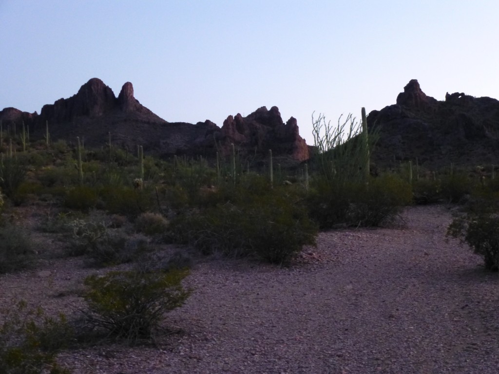
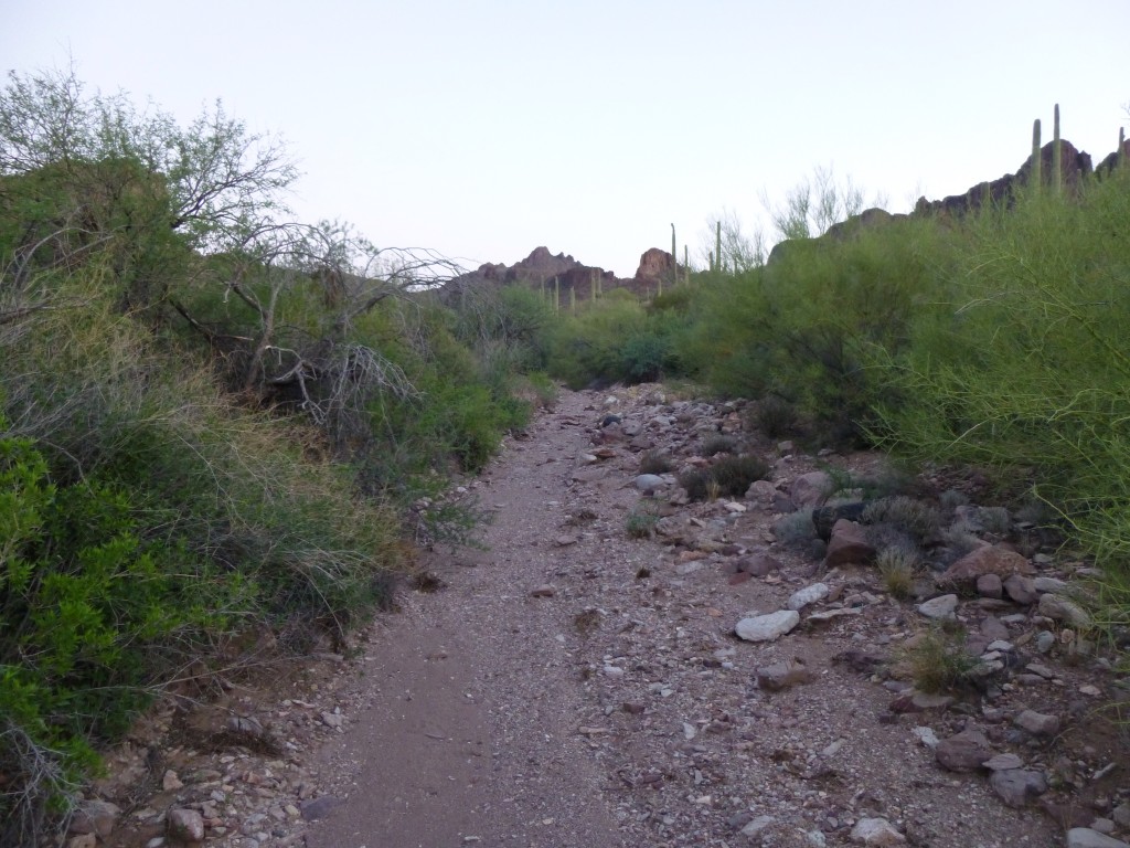
We entered a nice wash, fairly open and easy to travel, heading west from our starting point of 2,760′.
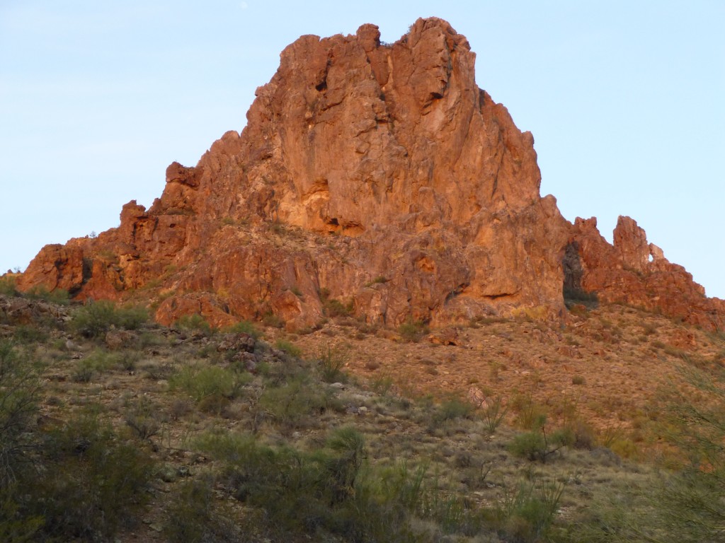
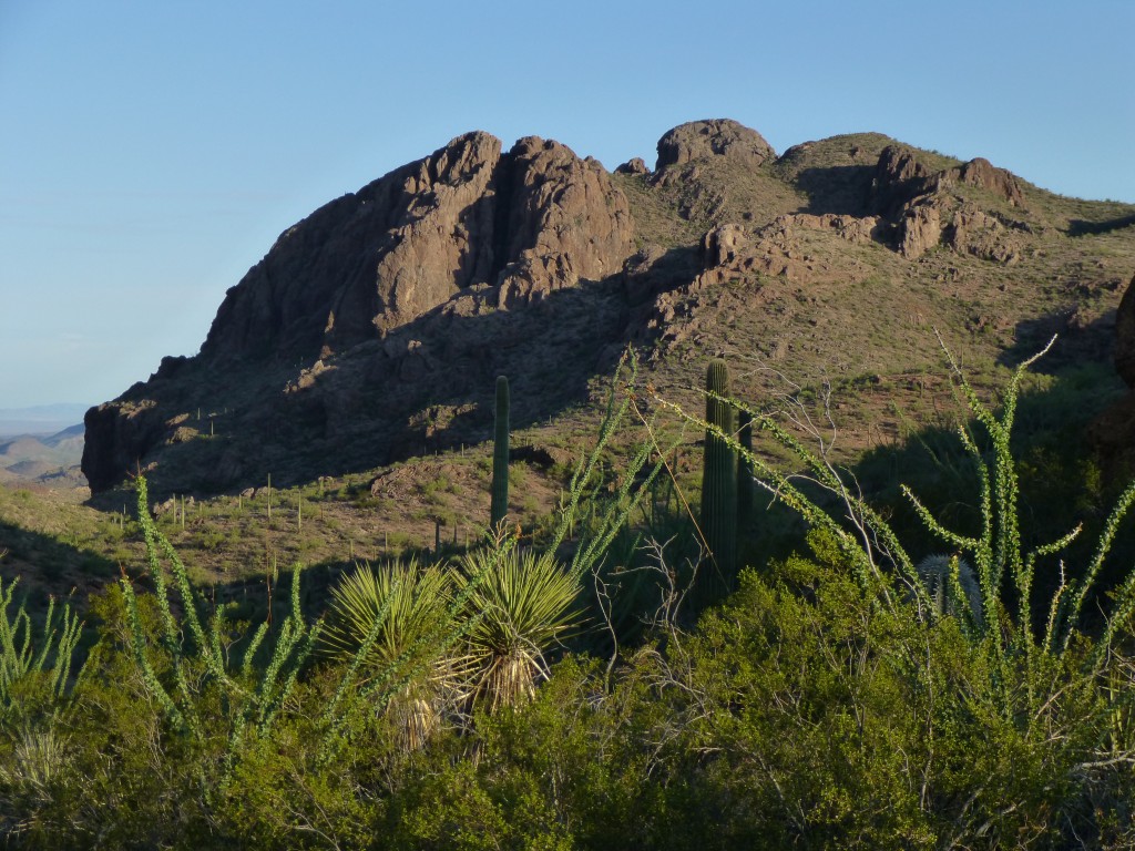
Jabbering away and not paying enough attention, we walked right past a small wash we had intended to take half a mile into the trip, covering a further half a mile before realizing our mistake. It only took a moment to decide that the only way we could get back on track was to climb 400 feet up to a ridge, get the lay of the land and see if we could continue from there. So, up we went, passing over the east shoulder of Point 3740, shown here.
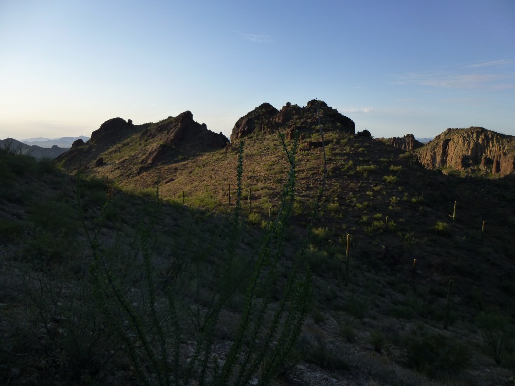
Our luck held, and, once on the ridge, we saw we had a clear path. Deep shadows still lay on the land at this magical time of day in the desert.
Our next task was to contour across to a saddle at 3,400′, where we were rewarded with this view of Peak 3940, a mile to the northwest – Jake and I had climbed it three weeks earlier.
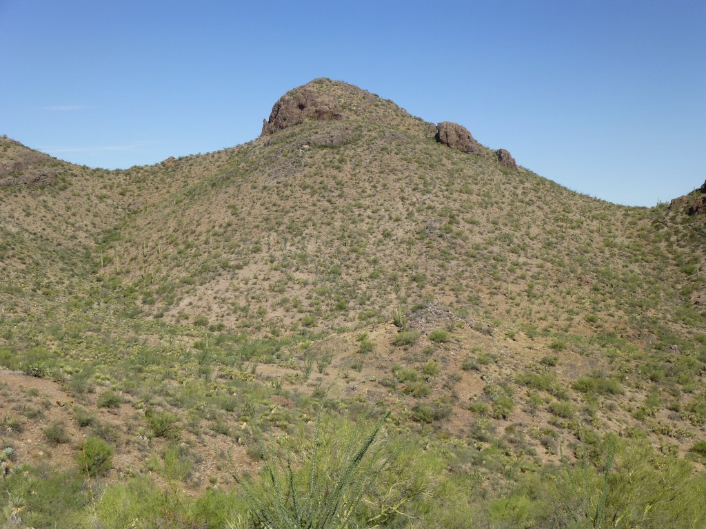
A bunch more side-hilling, through another saddle, and we then had our first good view of our goal for today, Peak 3780.
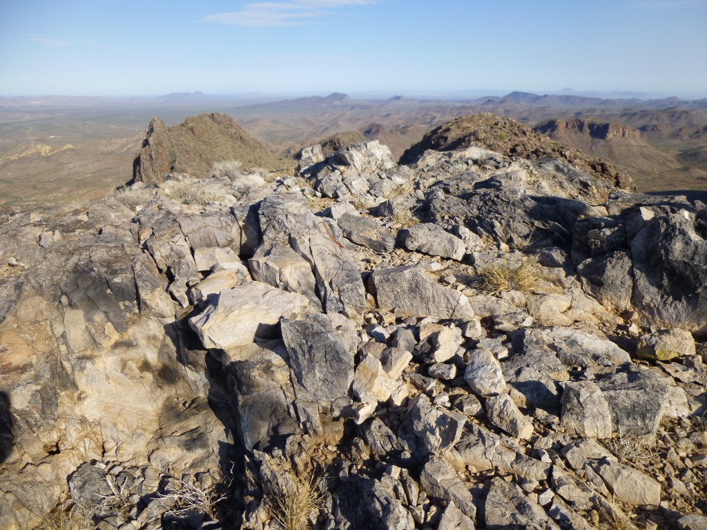
A bit more time was all it took, and there we were. As we pulled up on to the virgin summit, here is what greeted us – nothing, no sign of any prior humans ever having stood there. Peak 3780 was all ours.
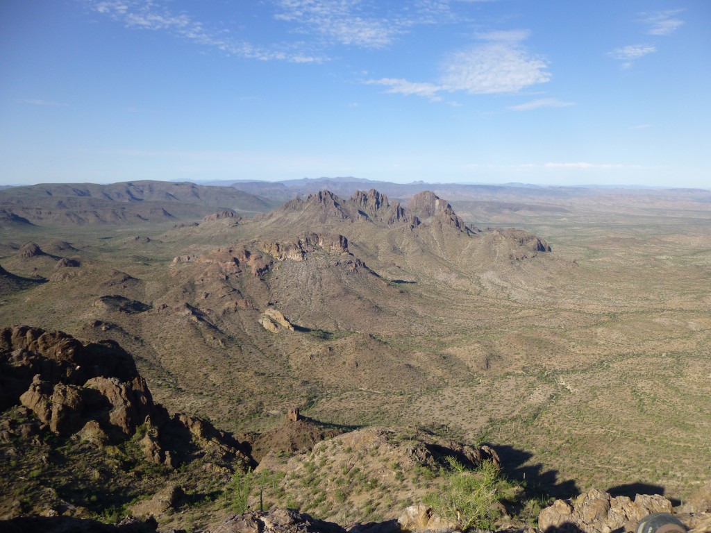
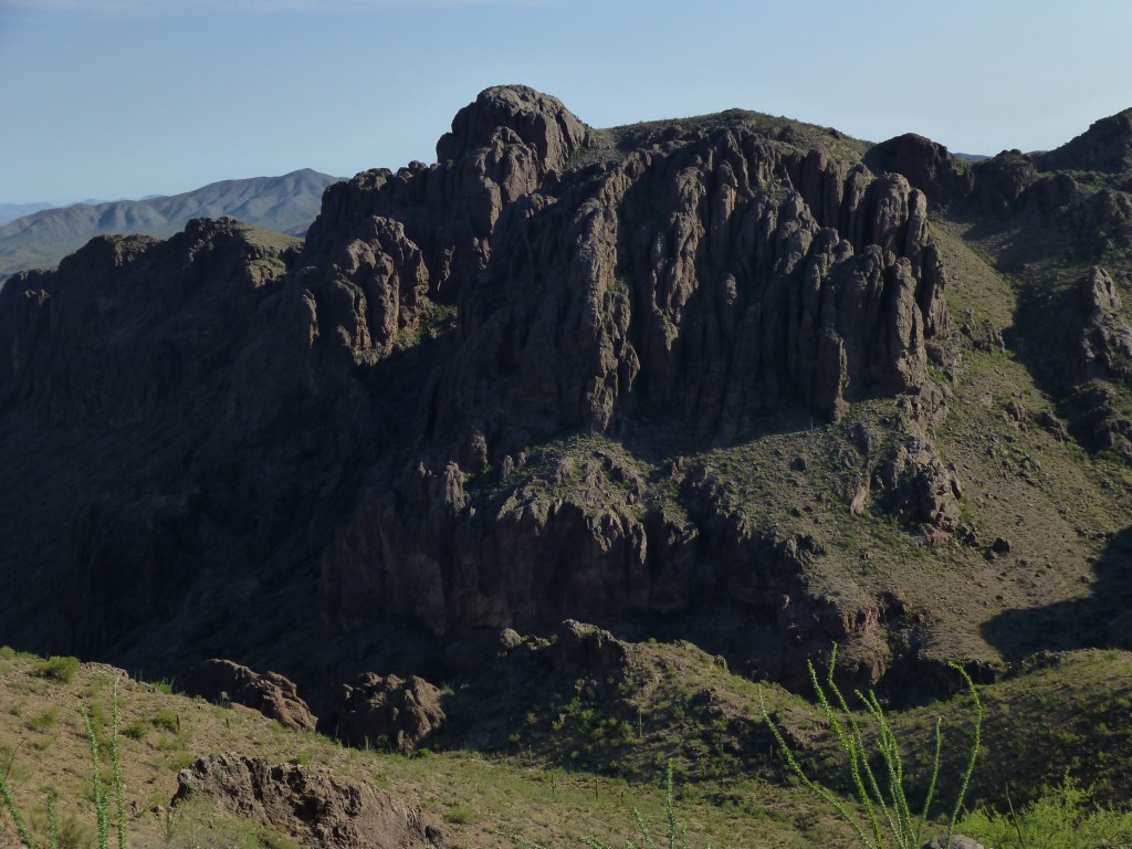
It was 7:39 AM – it had only taken us two and a half hours to get there from the truck. But the view – my God, it was overwhelming! Something we had been looking forward to was a close-up view of Dragon’s Tooth, and we sure had it. It’s only two miles away, but appears farther because this is a wide-angle shot.. It’s the triple summit in the middle of the photo, just below the horizon.
Another great view was of Peak 3940 to the north, which we had climbed only three weeks earlier. In this photo, you can see over 1,000 vertical feet of rock on its south face.
One whole blissful hour on the top – that was our reward. We took care of the usual duties – snack, photos, cairn and register – and even managed to punch a phone call out to home. There was something special about this spot, more so than other recent peaks in the range, and we didn’t want to leave. But, as usual, it was a race against time and temperature, so we finally started down.
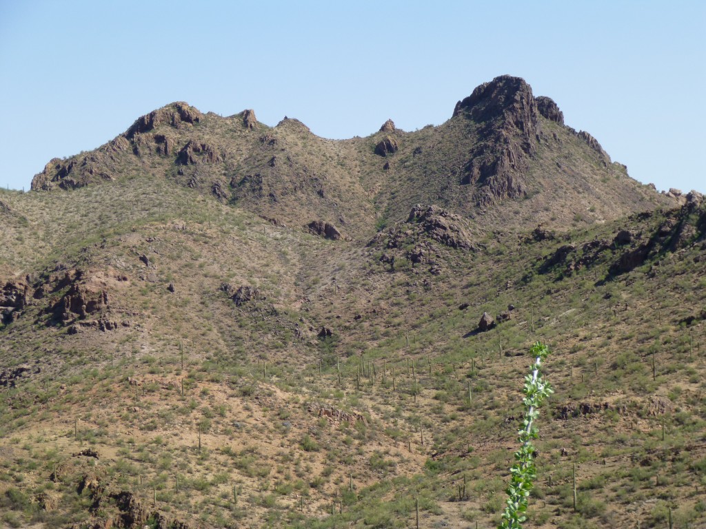
A few hundred feet below the summit, we had this view north to Point 3908. Jake and I have researched this area and now believe that it is a stand-alone peak in its own right, with more than the requisite 300′ of prominence. We see a trip to climb it in our future. The high point is on the right. Update – Lists of John has just reviewed the data we collected and has declared 3908 a true summit, with an interpolated elevation of 3,940′ and 320′ of prominence. Many thanks to John Kirk for his help on this.
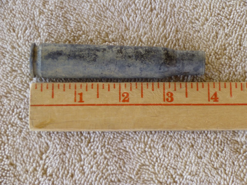
We hadn’t gone but a third of a mile from the summit when Jake spotted something on the ground. It was a large shell casing. This wasn’t something new to us, as we’d found these before. After all, this whole area had been used by the U.S. Air Force for a very long time, and spent shell casings were the least of what could be found. You can’t come out to these places without having signed a hold-harmless agreement, absolving the military from any responsibility for your injury or death. Here is a link to a website that tells about these casings:
http://www.nebraskaaircrash.com/50caliber.html
As you’ll see by visiting the site, these were used in a Browning .50 caliber machine gun mounted on aircraft in World War II. History tells that two types of aircraft flew on the Barry M. Goldwater Air Force Range during the war and used those guns. They were the P-51 Mustang and the P-40 Warhawk. The markings on the base of these casings can identify the factory and year of manufacture. Minutes later, I also found one. Here is a picture of it, taken later at home.
The markings on mine indicate it was made in the St. Louis Ordnance Plant in St. Louis, Missouri in 1944. Those on Jake’s said SL 43. A few weeks ago, he found two others, and their markings were as follows: DM 4 and TW 45. Try looking his up on the website and see if you can figure out where and when they were made. Now that we know how to identify these, we look forward to finding more of them in the future.
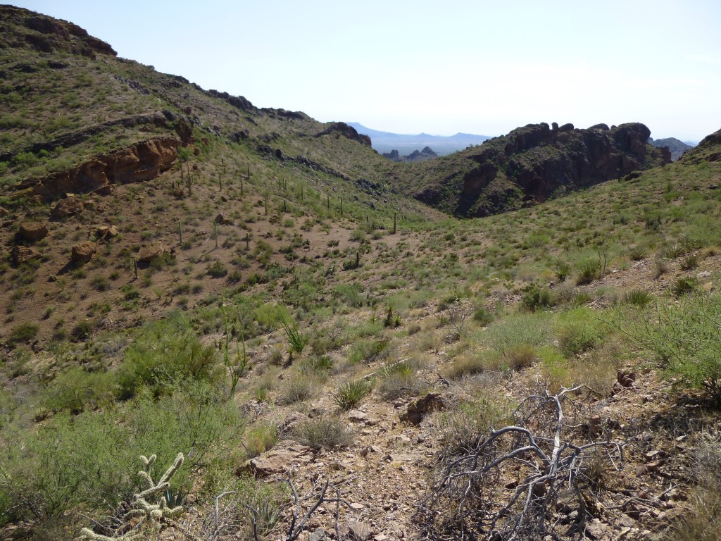
Moving on, we reached a saddle and had a good look to the east over the ground we’d need to cover. In this foreshortened view are two more saddles and a bunch of sidehilling that awaited.
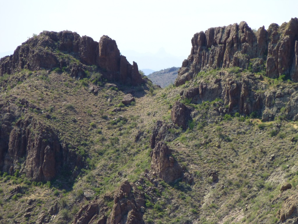
As we were crossing a last slope, we saw, through a gap, this view of Baboquivari Peak, 77 miles to the southeast. Look at this telephoto shot – see it, the faint outline of a steep peak in the middle of the gap – try tilting your screen to see it better. This is a break in the east ridge of Point 3488
Anyhow, a few more steps brought us to the head of a drainage we had planned to ascend early in the day, the one we missed, and down it we went. What a frickin’ bushwhack! We dropped 550 vertical feet in 7/10 of a mile. If we had been paying enough attention early on, enough to have found this drainage, we would have done a lot of cursing thrashing our way up it. Once back in the main wash, it was an easy walk the rest of the way down to the truck.
The entire outing took only 5 1/2 hours, including an hour on the summit. Not a lot of time or effort to bag such a fine peak. The Sand Tanks are one mighty fine range, and we’ll be back.
Please visit our Facebook page at: https://www.facebook.com/pages/Desert-Mountaineer/192730747542690
On that Facebook page, there’s an email address you can use to actually write to the Desert Mountaineer. We’d love to hear from you, and we promise to write back.

