
This piece was written in late 2014, right after the climb was done.
As April comes to an end, our weather in southern Arizona can become really hot. The earliest day we’ve ever hit 100 degrees was April 19, back in 1989 (I remember that year, it was nasty hot). So when April 27th promised to top out at only 75 degrees, it seemed like a perfect time to go out and climb something. More than that, I just felt like getting out into the mountains and enjoying some solitude. I thought of the perfect spot, an area on the east side of the Whetstone Mountains that I had visited a year and a half earlier. I slept in to six AM, threw my stuff into my truck, and away I went. By about 7:30, I was ready to leave the pavement and drive into the hills. This sign greeted me.

About a mile and a half later, a sign told me that I was entering the Coronado National Forest. At that point, I was driving along the south side of a deep ravine, the French Joe Canyon named in the above sign. The road was bumpy and high-clearance in a few spots, but otherwise just two-wheel-drive. Here, I had a good look at the peak I had come to climb. Mercury Mountain rose 2,000 feet above the grassland.

At the 3.3-mile mark, I pulled up and parked in a heavily-forested spot just below French Joe Spring.

It was so quiet, just a few birds singing and the wind sighing in the trees. I set out to the north, climbing straight uphill. The slope was covered with long dry grasses which hid countless rocks lying on the ground – you really had to watch your footing or you’d go ass over teakettle.

There were some great-looking cliffs nearby.

I knew that cattle still grazed inside the national forest, and from high up on the mountainside I saw something interesting that supported that fact.

You can zoom in on the above photo, really magnify it, and what you’ll see is this: a large white concrete slab and a pipe leading from it to a blue tank. When rain falls, it rolls down the slab and enters the pipe, which moves it to the tank. An ABS pipe then probably moves it some distance to a cattle trough.
The higher I climbed, the better the views were. Here’s a look south to Gutbuster Peak, seen on the right skyline.

Here’s a typical look up the slope I climbed, studded with rocks, grasses and agave.

Finally, I reached a place on the mountain that was easily identifiable, Point 6235. A grand sweep of cliff curled up towards the summit.

As I neared the top, I took this photo. It shows well the rocks that covered the ground all the way up the mountainside, but they were usually obscured by tall dry grasses.

During the last stretch to the summit, I caught this great view to the west. On the right side of the photo, the white banded mountain is simply called “The Cape”. Directly above it on the skyline is the high point of the range, Apache Peak. The forested ridge to the left of it forms the crest of the range, and the bump which is dead-center is French Joe Peak

Here’s another view, looking to the northern part of the range. At the far right side of the photo can be seen Point 7344, which is obscuring Peak 7388.

Finally, I reached the highest part of the mountain and walked the last few feet to the summit. Mercury Mountain isn’t an official name, rather a moniker folks have dropped on it, but it works. At 6,652 feet elevation, there are seven higher peaks in the range, but its position of prominence on the eastern flank of the range is exceptional.

I quickly found a summit register, but the odd thing was that it was quite recent. Bob Martin and Mark Nichols had climbed this thing decades ago, and there was no mention of them. Who knows what had happened to the original register – they do have a way of disappearing. Some newcomers had left theirs, and three parties had signed in before me.

I signed in, then took out my lunch. Oh-so-leisurely, I sat on a rock with a view and spent a whole hour on the summit. A whole hour! For once, I didn’t care about the time. Jays squawked in the trees around me, ravens circled overhead. I just enjoyed the quiet and was at peace with the world. This is one of the reasons I climb mountains. There’s something special about being way up high, looking down on the world, that has fascinated humans since time immemorial.
When I started back down, I took my sweet time, keeping a sharp lookout for rocks hidden in the tall grass. Down in the lowlands, I got sidetracked by a canyon that took me well below my truck, forcing me to slog back uphill a third of a mile that I hadn’t planned on. No biggee. As I drove back down French Joe Canyon, I passed many ocotillo in bloom.
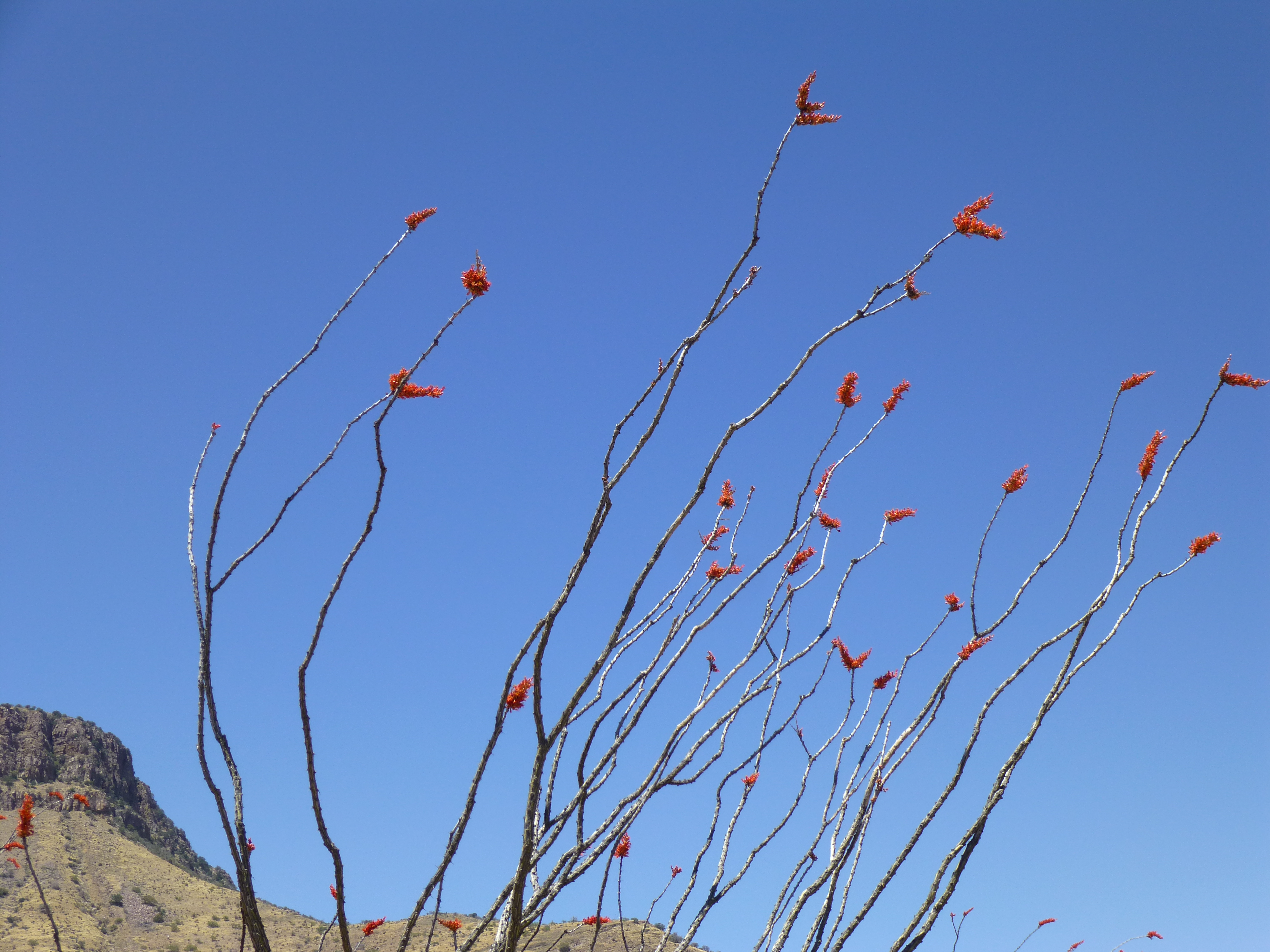
Ocotillo in bloom
A family had stopped by the side of the road for a picnic, and I chatted with them. They too were out enjoying the amazing Arizona day. A couple of hours later, I was back home in Tucson, glad I’d had the chance to get out and enjoy the Whetstones once again.
Please visit our Facebook page at: https://www.facebook.com/pages/Desert-Mountaineer/192730747542690