
May can be a real scorcher in the Arizona desert – a high temperature of over 110 degrees F. has happened plenty of times. So, imagine my excitement when I learned that a May weekend was coming up with a 77-degree forecast. Gadzooks, I would’ve been crazy if I hadn’t dropped everything and headed to the mountains, so away I went. Much of my climbing lately has been in Organ Pipe Cactus National Monument, so, as is my wont, I left right after work on Friday and drove for four hours. I parked in a quiet area just north of Pozo Nuevo and set out at six o’clock. It didn’t take long to reach the top of Peak 1690, where I savored the quiet evening. I had this view to the southeast over part of the Quitibaquito Hills. Between the peaks can be seen distant Cerro Cubabi in Mexico, which Andy Martin and I climbed in one zany outing a few years earlier. In fact, you can read about that trip in a piece on this website entitled “Cerro Cubabi”. Can you spot my truck, near the pointed end of the shadow in this telephoto?
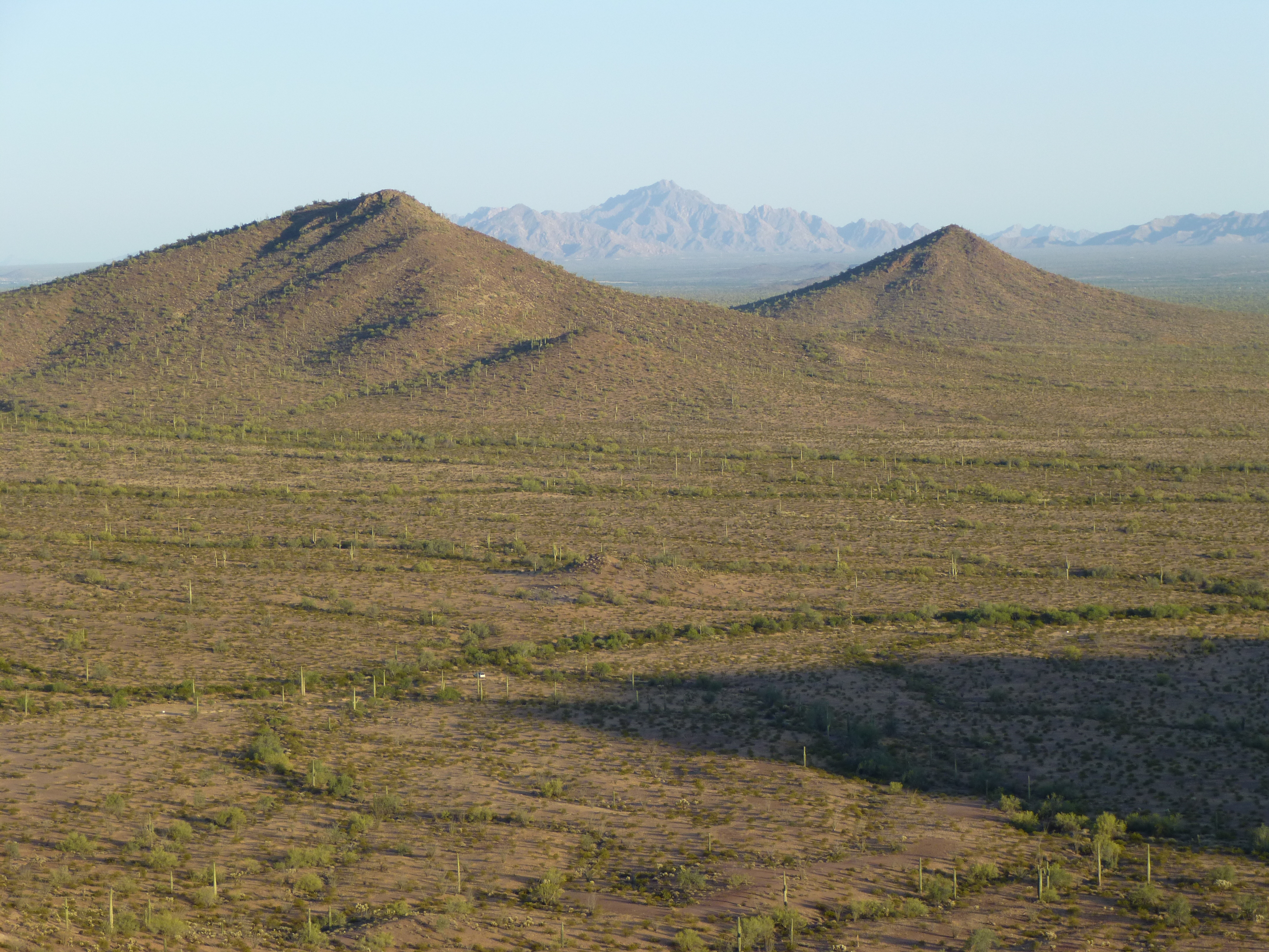
A long look out to Cerro Cubabi
Atop my peak, I found this ring of rocks, made by smugglers as a crude shelter from the wind.
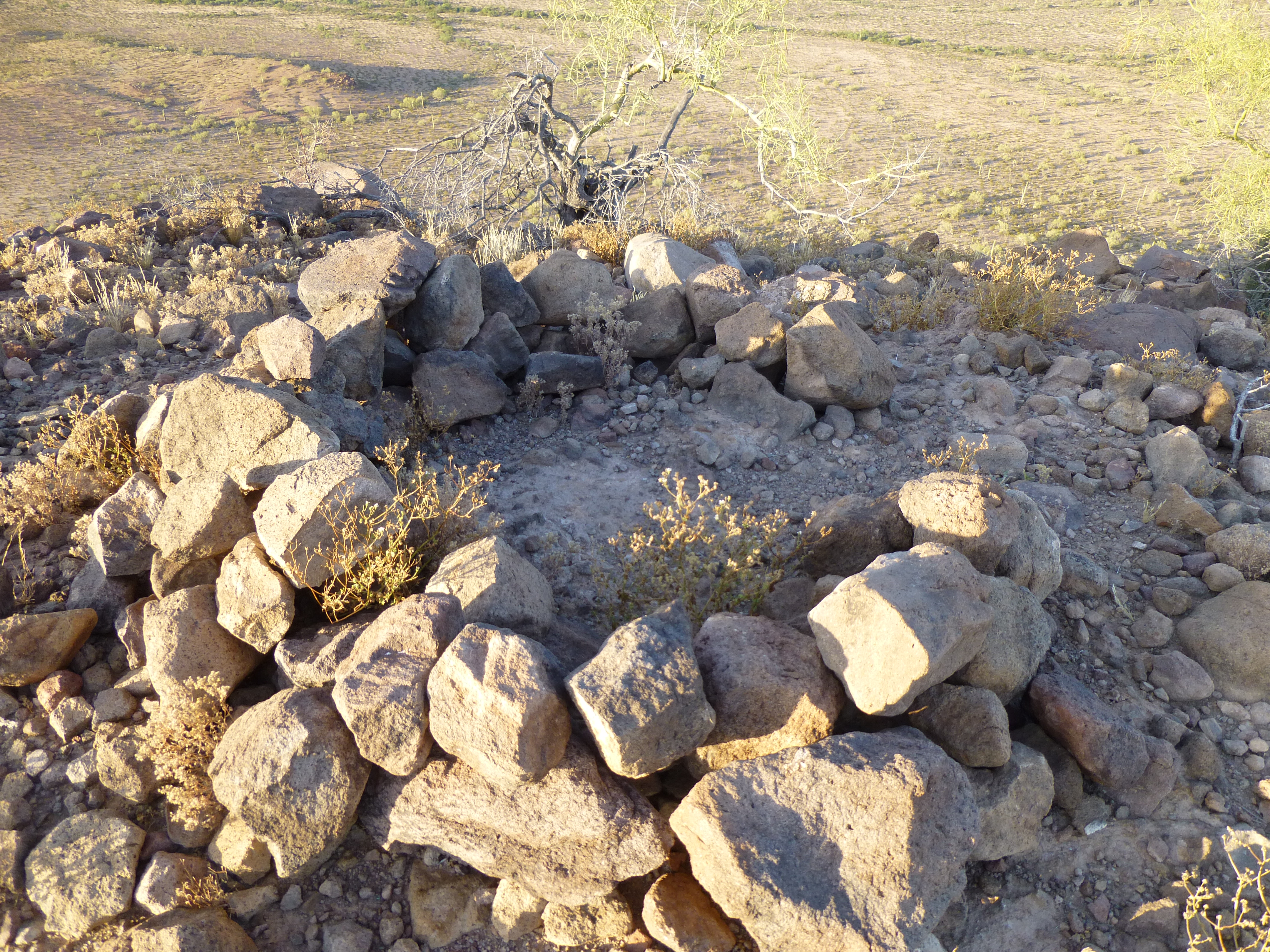
Atop Peak 1690
The day was wearing on, so I dropped south to a saddle and then up to the top of Peak 1678, arriving just as the sun set behind distant clouds.
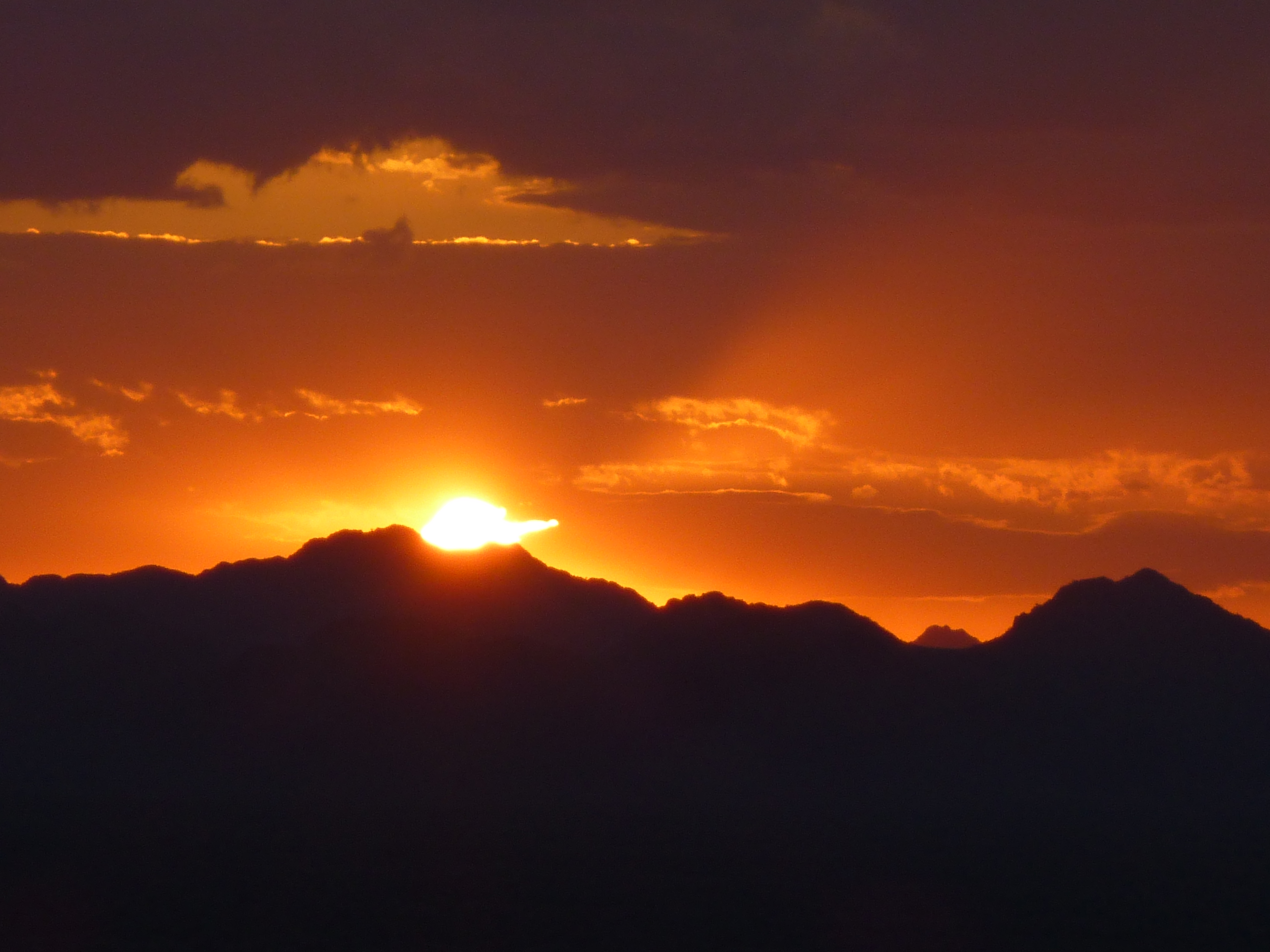
The sun setting behind layers of the Agua Dulce Mountains
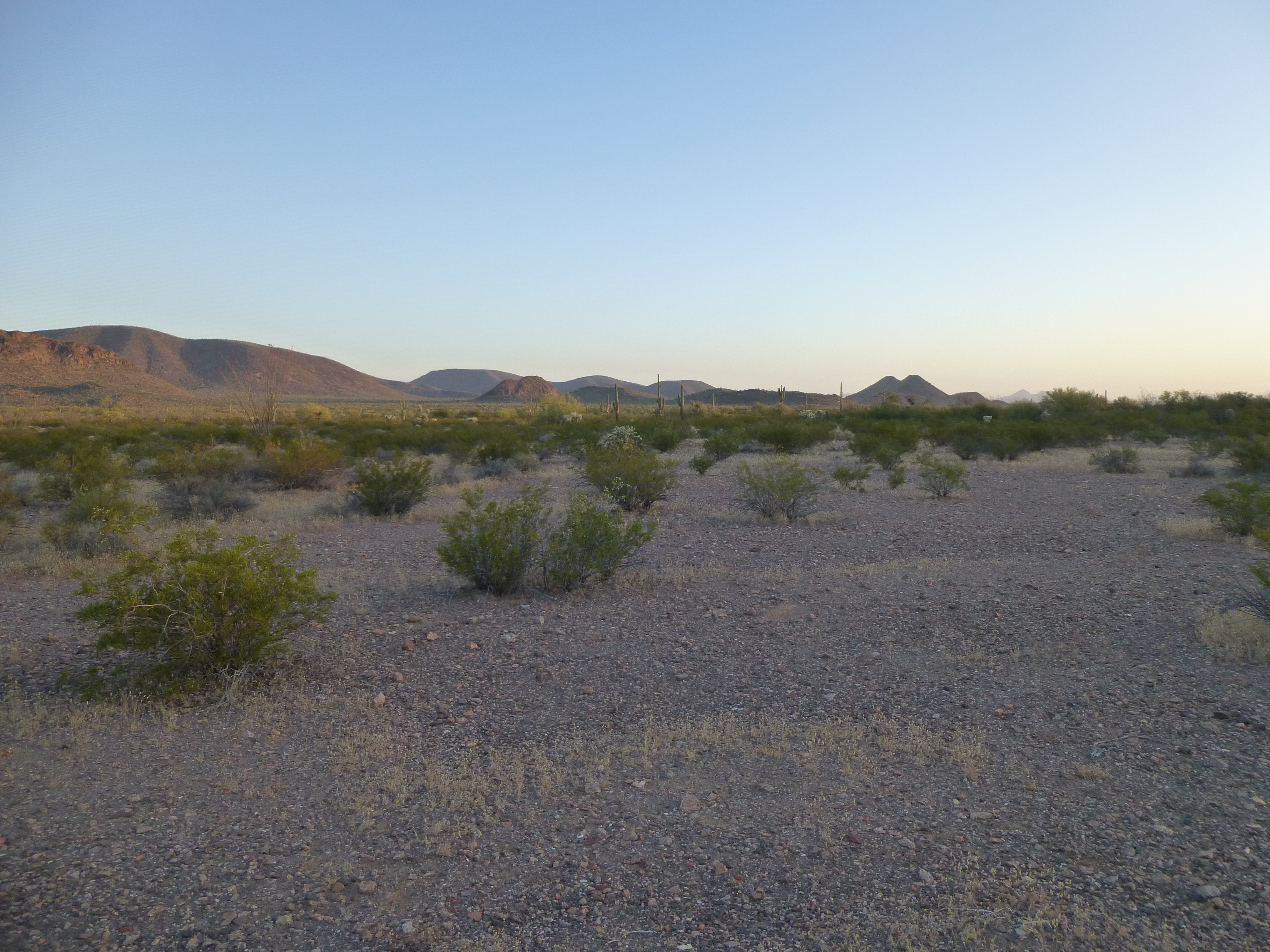
Precious little daylight remained by the time I regained my truck. It was a long night with little sleep by the time I’d moved all the way around to my starting point for the next day’s climbing.
As first light tinged the eastern sky, a reluctance slowed my steps. Three weeks earlier, I had started from the same spot and put in a 13-hour day to penetrate the remote heart of the Bates Mountains. I was dreading what I knew what would be another long, challenging day. Once again I was on my own, as none of the usual suspects were able to accompany. Never mind, it had to be done – the peaks weren’t going to climb themselves. In this next photo, taken at sunrise, can you see the long gentle mountain on the left horizon? My goal was a peak behind that one.
Damn, it was a long way off!
There was plenty enough light to see by as I set out at 5:25. Dead calm, not a sound except the crunch of my boots as I walked along. I put my brain in neutral and one foot in front of the other, trying to pass the time as painlessly as possible. The miles rolled by, about five of them, until I got far enough north to get this view of my first peak.
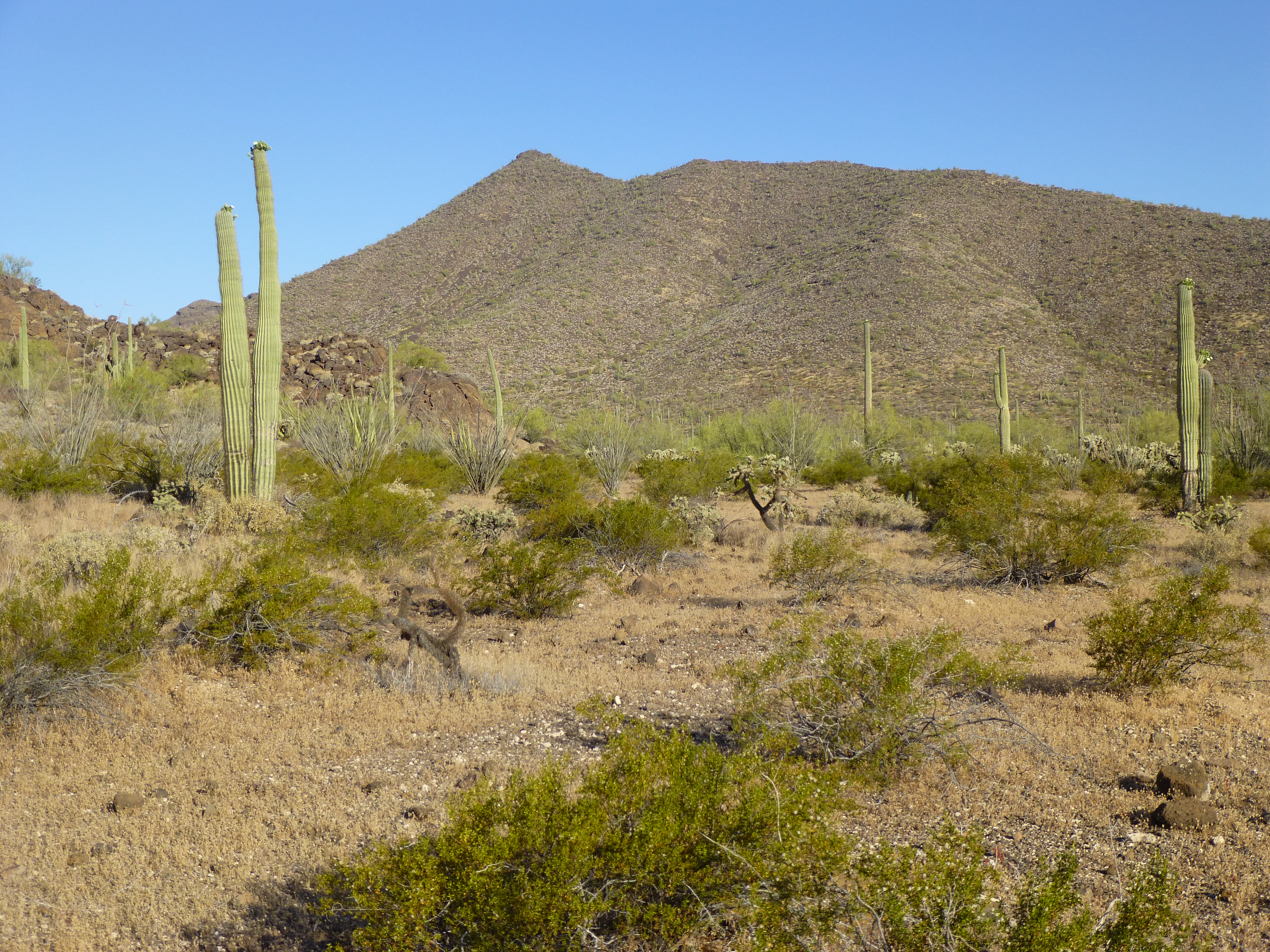
Looking west to Peak 2867
Heading over to a friendly-looking shoulder, I followed it and climbed a thousand feet. As I wound my way along the summit ridge, I had this view of the summit, and three and a half hours after setting out, there I was on top of Peak 2867.
Southwest to the summit of Peak 2867
Much to my amazement, I found a register, still intact, left by the first ascent party 15 years earlier.
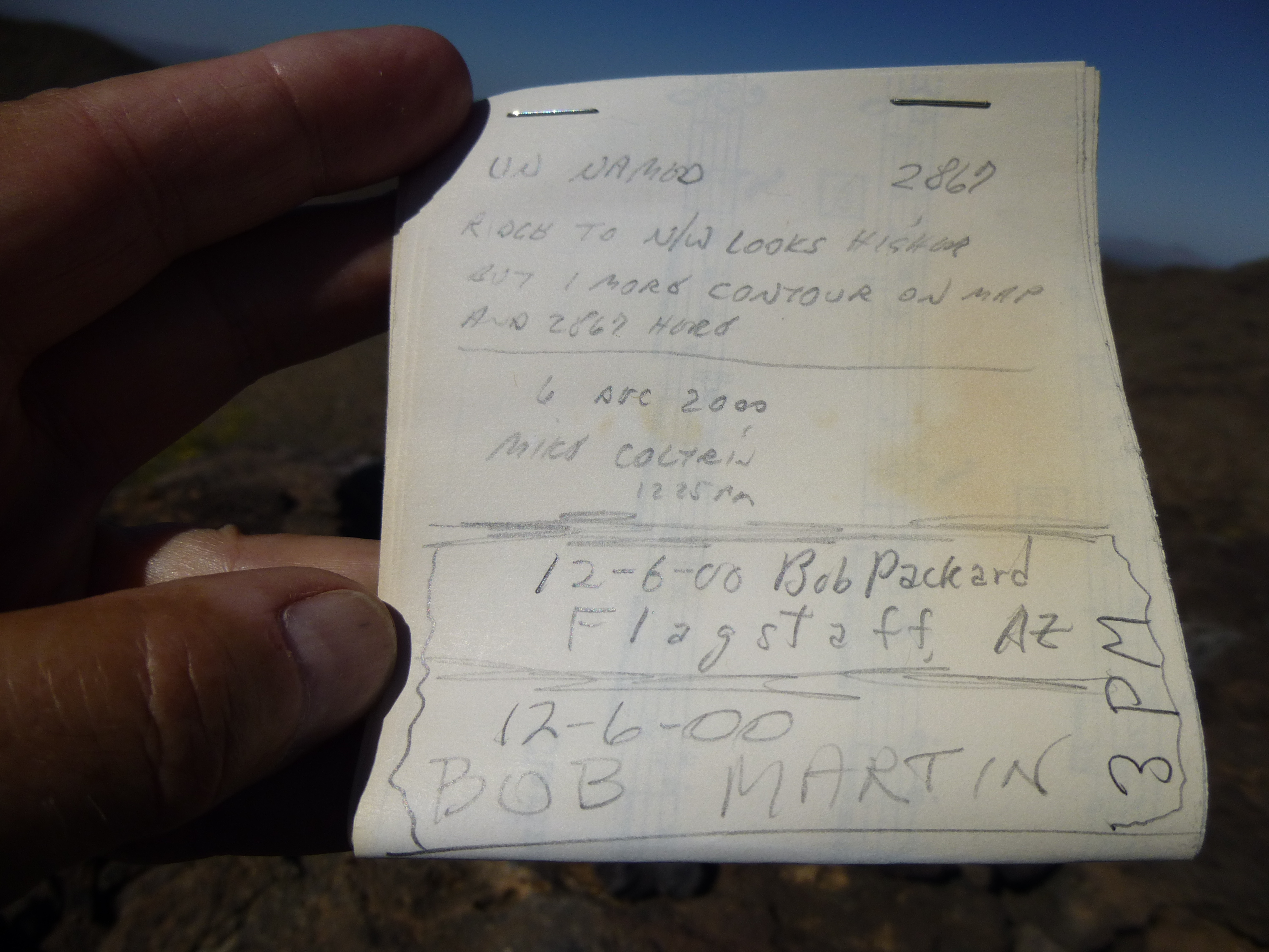
The register left by Coltrin, Packard and Martin in 2000
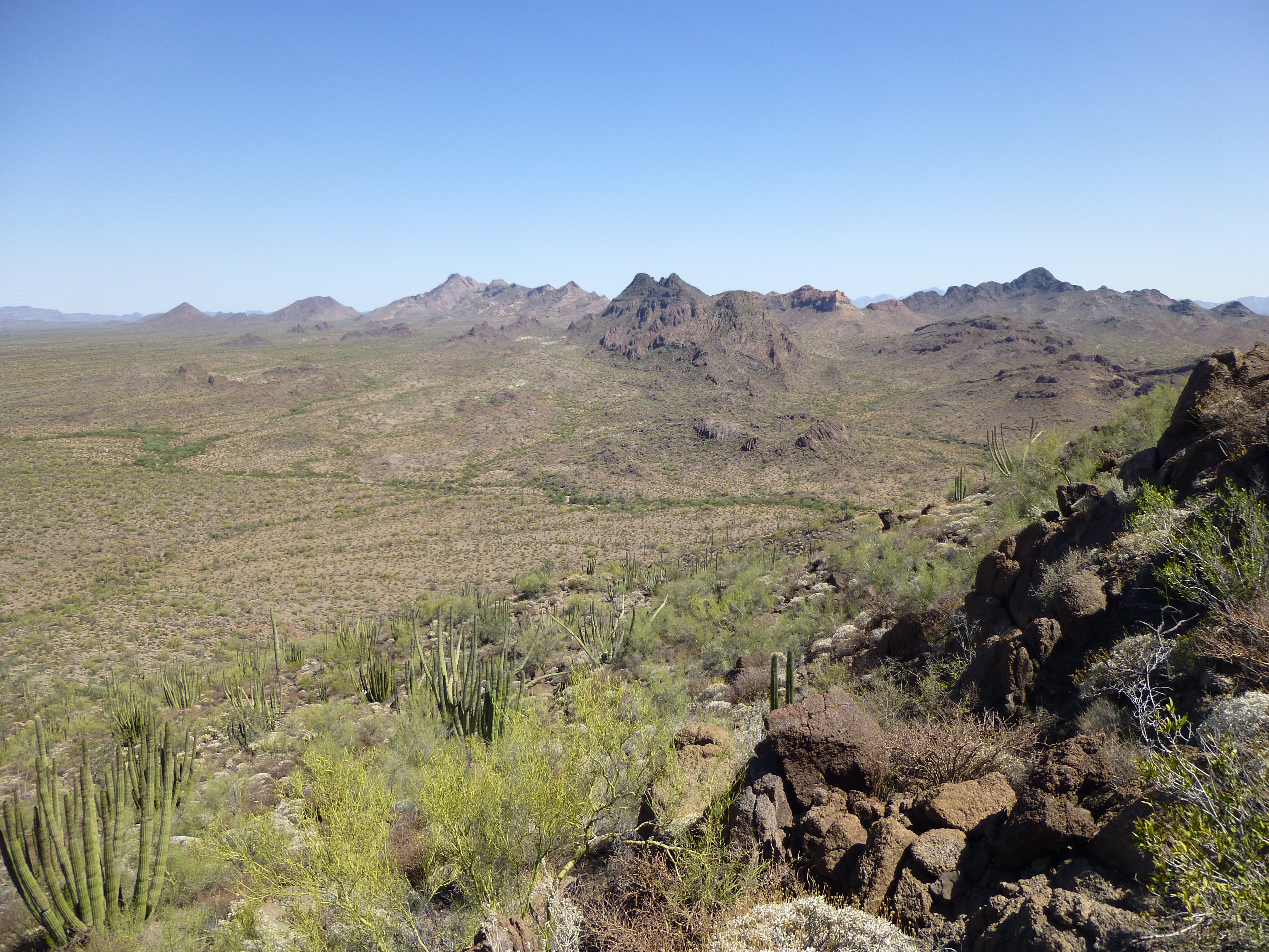
What delicious views! This is why I climb, to get into places like this. Here’s a look to the north: Kino Peak is on the left; Peak 2919 is the dark one just right of center; the high country of the Growler Mountains shows to the left of it on the distant horizon.
North from Peak 2867
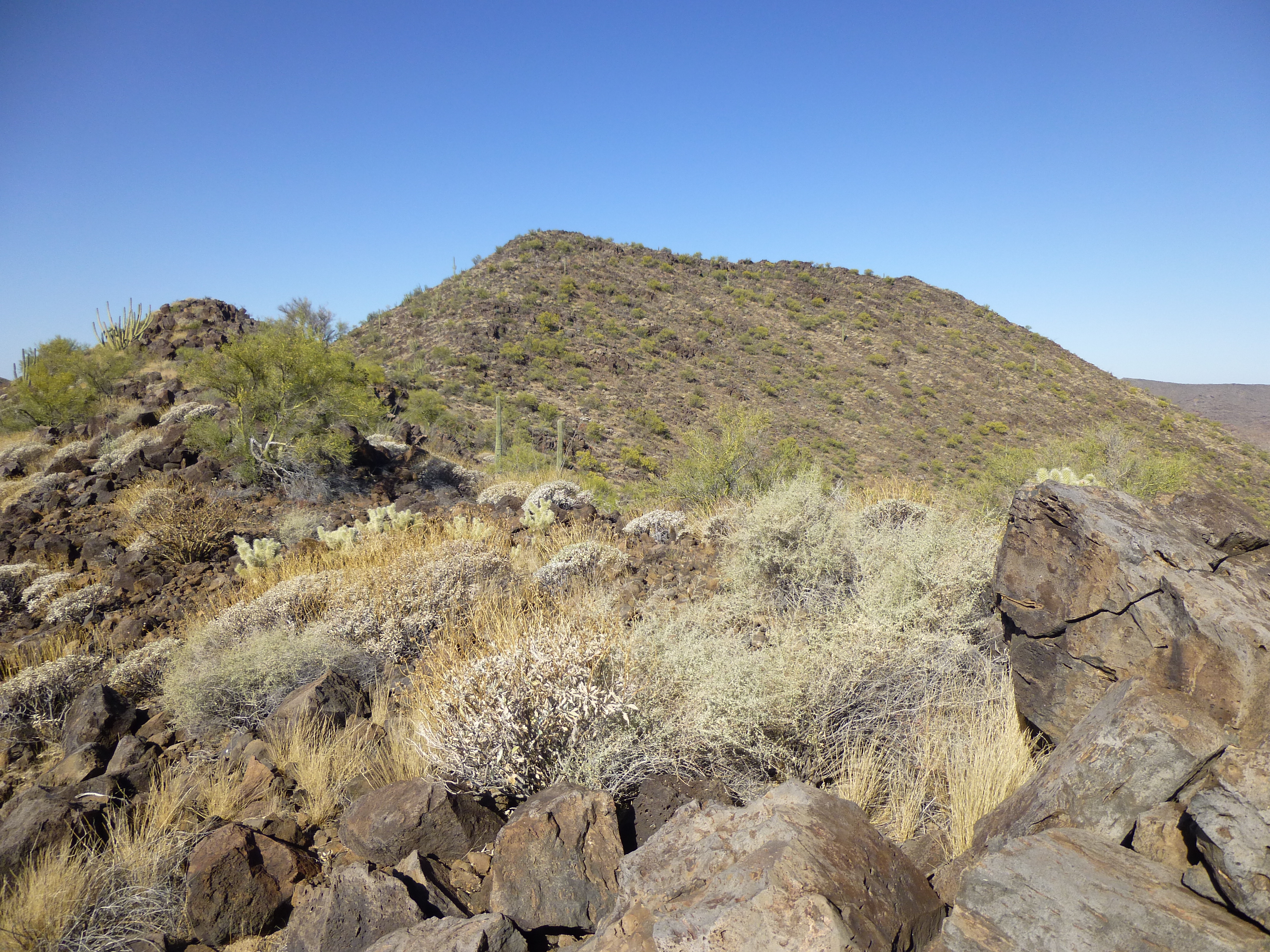
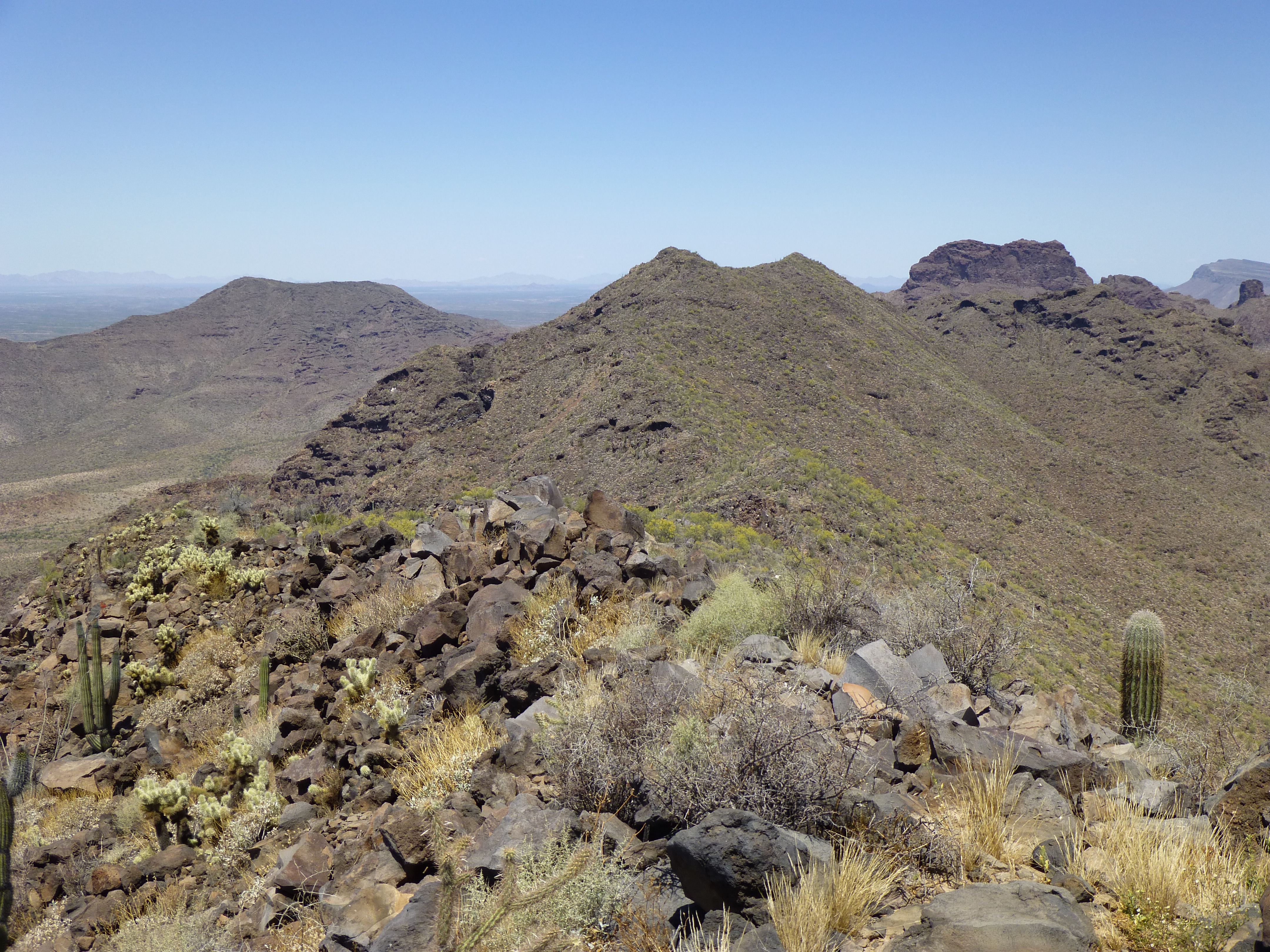
The summit ridge of 2867 extends about two football fields to the northwest. Since it was too close in elevation to eyeball it, I scrambled over to see if it were in fact higher. Hard to say – the spot elevation might be a foot or two higher. The time was getting away on me, and it was 9:20 when I left – four hours of the day were gone. Setting out, I had this front-row-seat view of Peak 3019, a nearby 1,200-foot prominence which dominates the area – it’s still waiting for you, Andy!
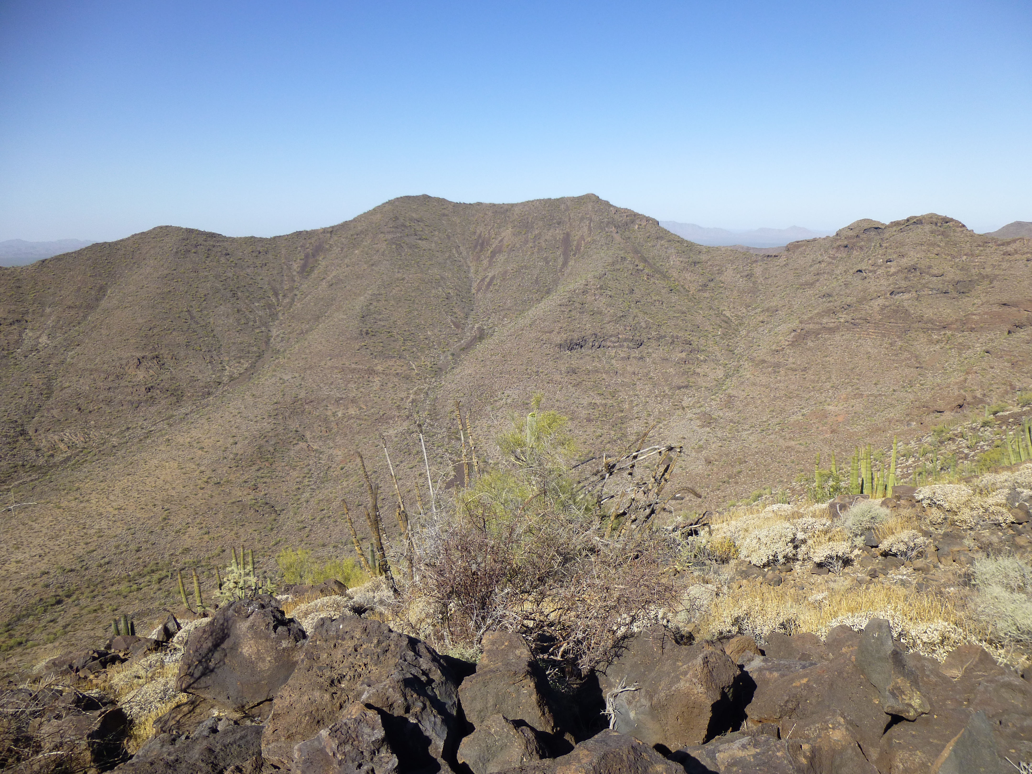
Southwest to Peak 3019 from the top of Peak 2867
There were three peaks I had on today’s agenda – the first was done. To get to the next one, it was a thousand-foot drop south to the valley bottom, which went without incident.
Here’s a view south to Peak 2974
I didn’t relish the climb up the second peak, as it was even higher than the first, but after a while I stood on a flattish area about 300 feet below the summit, then had an enjoyable scramble up to the top of Peak 2974. Once there, the hoped-for summit register was not found, the reason being that smugglers had been there. Instead, there was this car battery, which had no doubt been used to power an encrypted two-way radio used for their nefarious deeds.
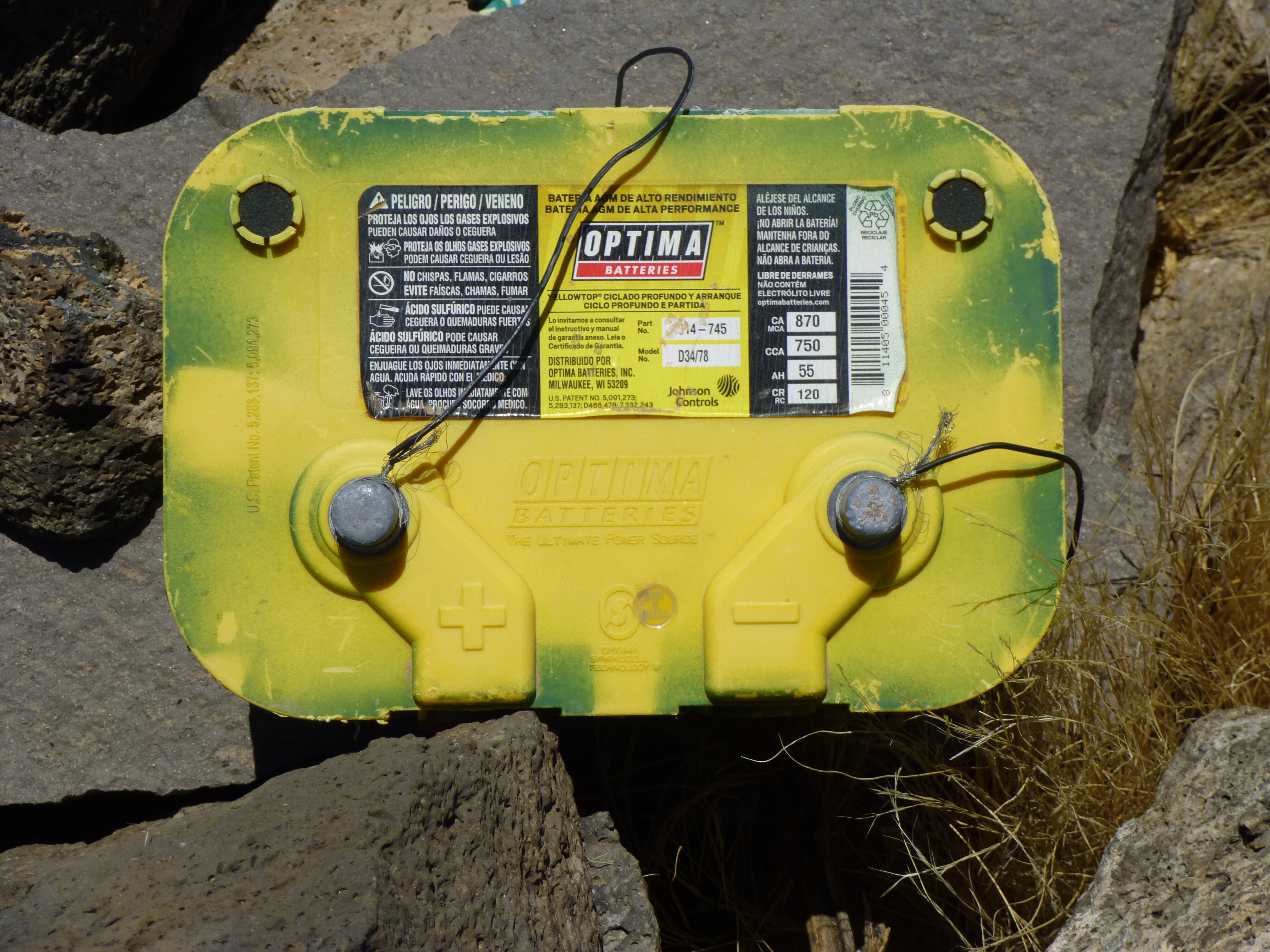
The battery on the summit of Peak 2974.
I also found this – some rat-bastard smuggler was trying to ease his pain with some Mexican hooch. I’ve found other Mexican bottles of tequila out there, and they all seem to be only 35% alcohol, and 700 ML as opposed to the 40% and 750 ML we favor. El Jimador is a name given to a type of farmer who selects and harvests the blue agave which is used to make the best tequila, thus the drawing on the label.
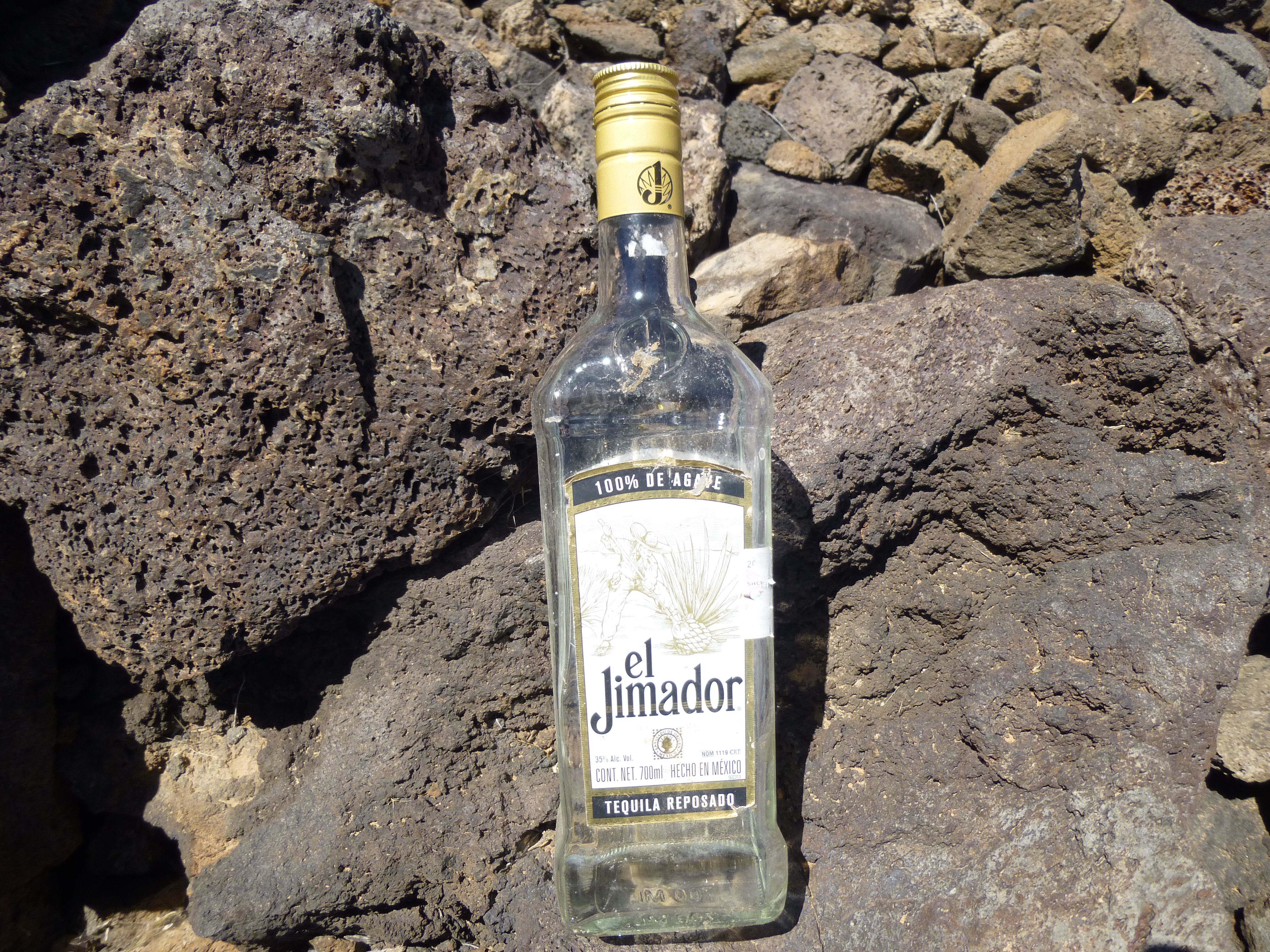
Mexican tequila
Near the summit was this shelter used by the smugglers. The right side is native rock, while the left is clearly man-made.
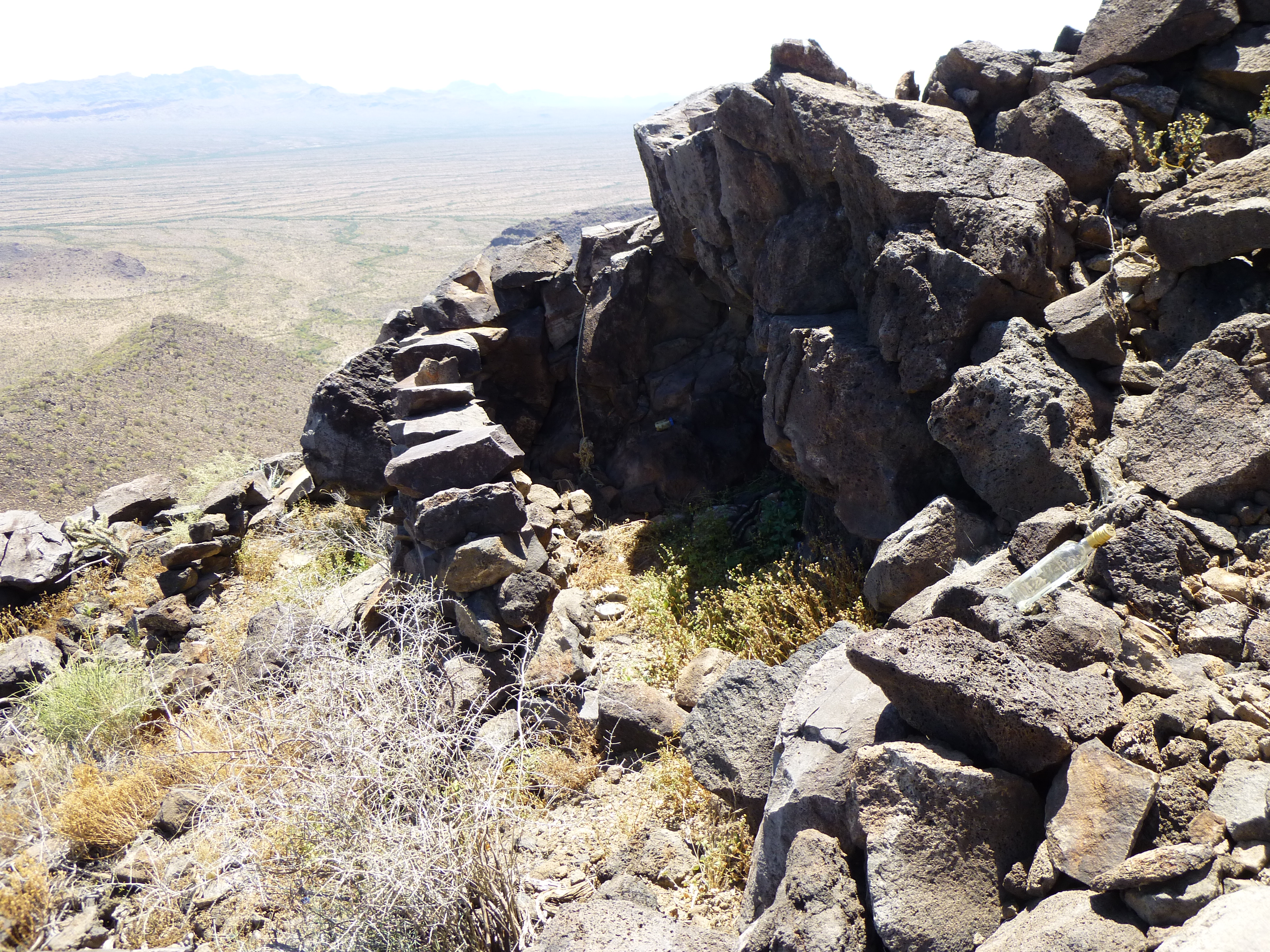
The shelter just below the summit of Peak 2974
It was 11:30 AM, seemingly early enough, but even with only one more peak to do, I knew I’d have to hit the road. The third one was out there in plain view, but it looked some way off and I knew I’d be a while getting there. Here’s what I saw.
The view southeast to Peak 2541
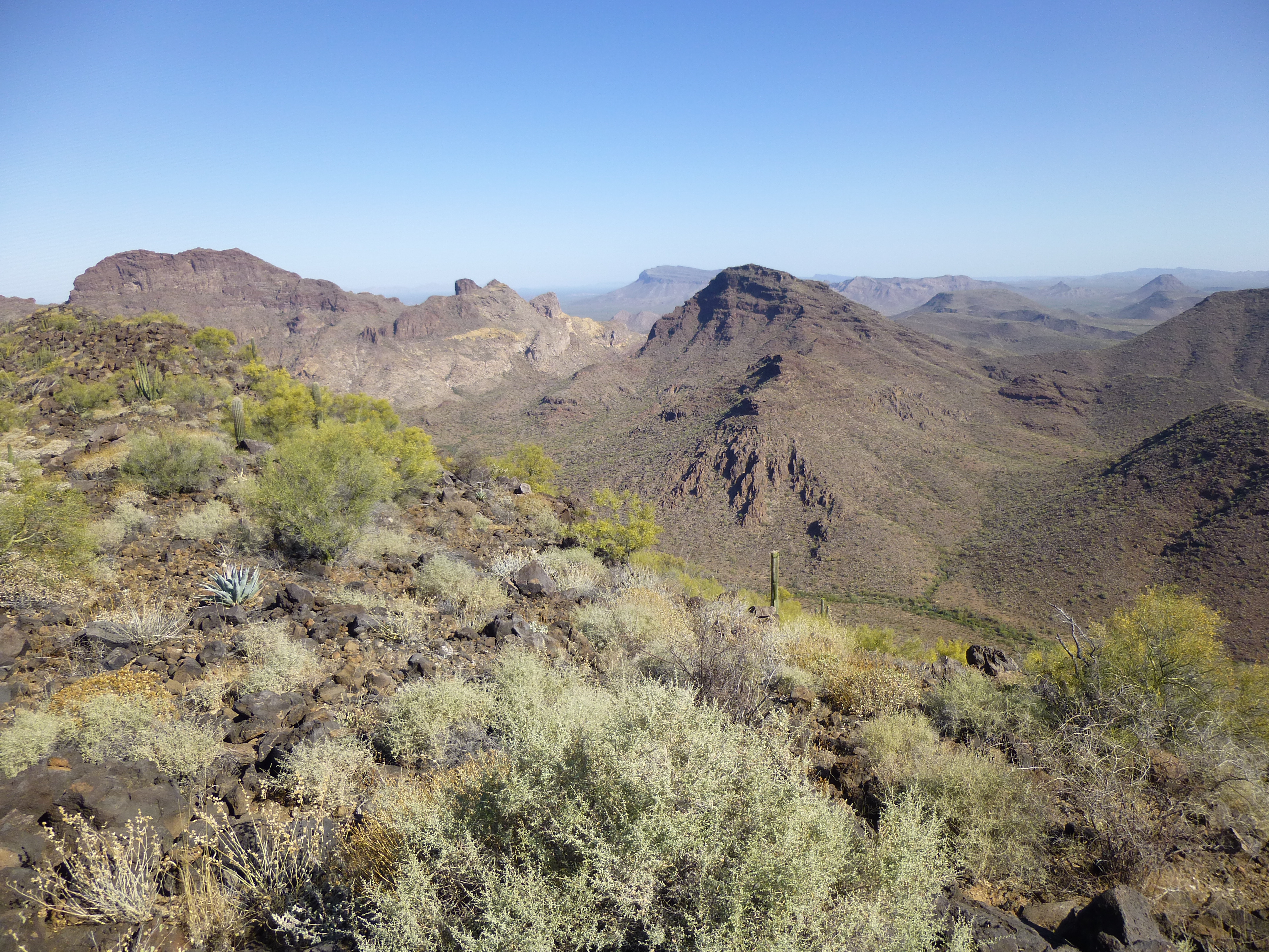
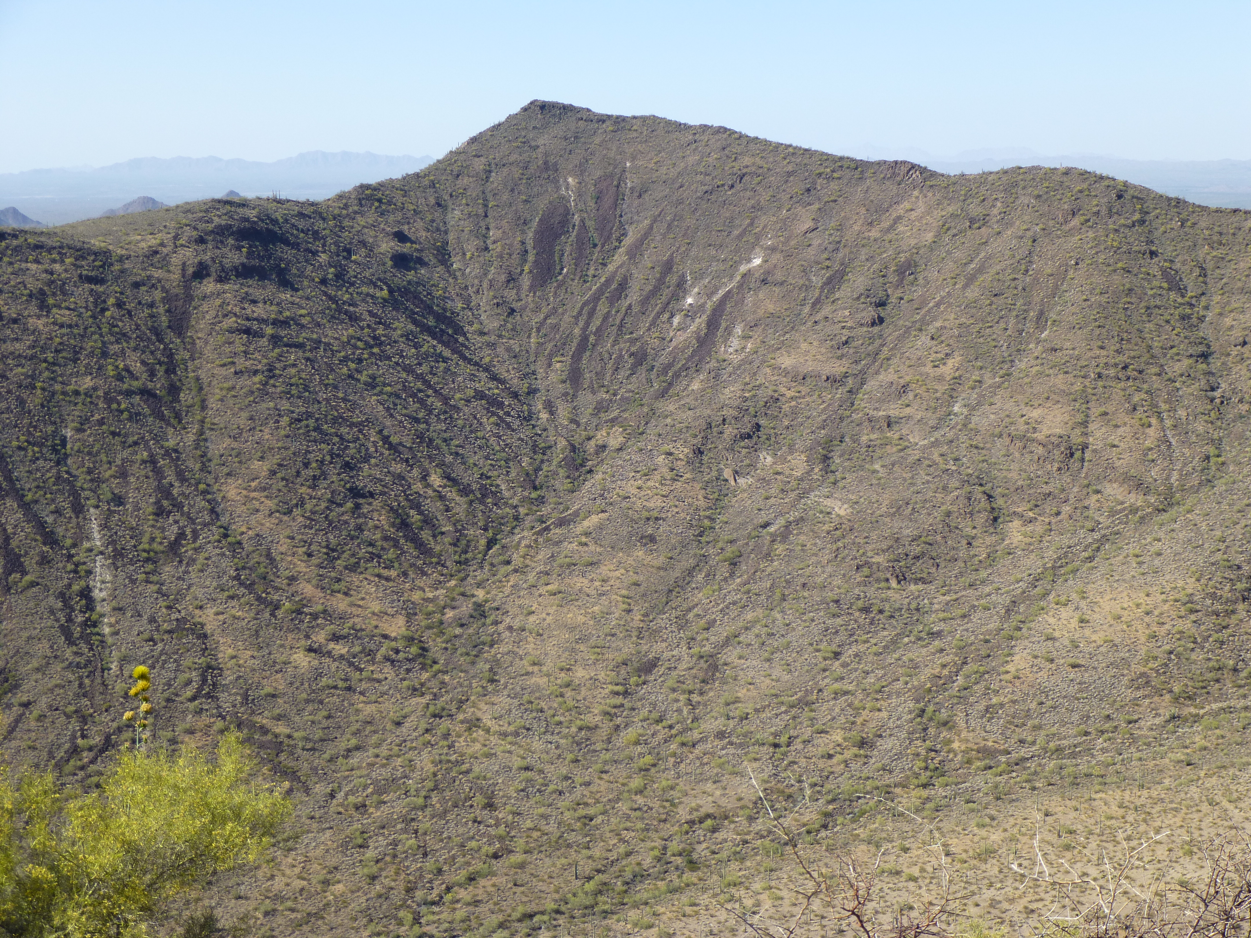
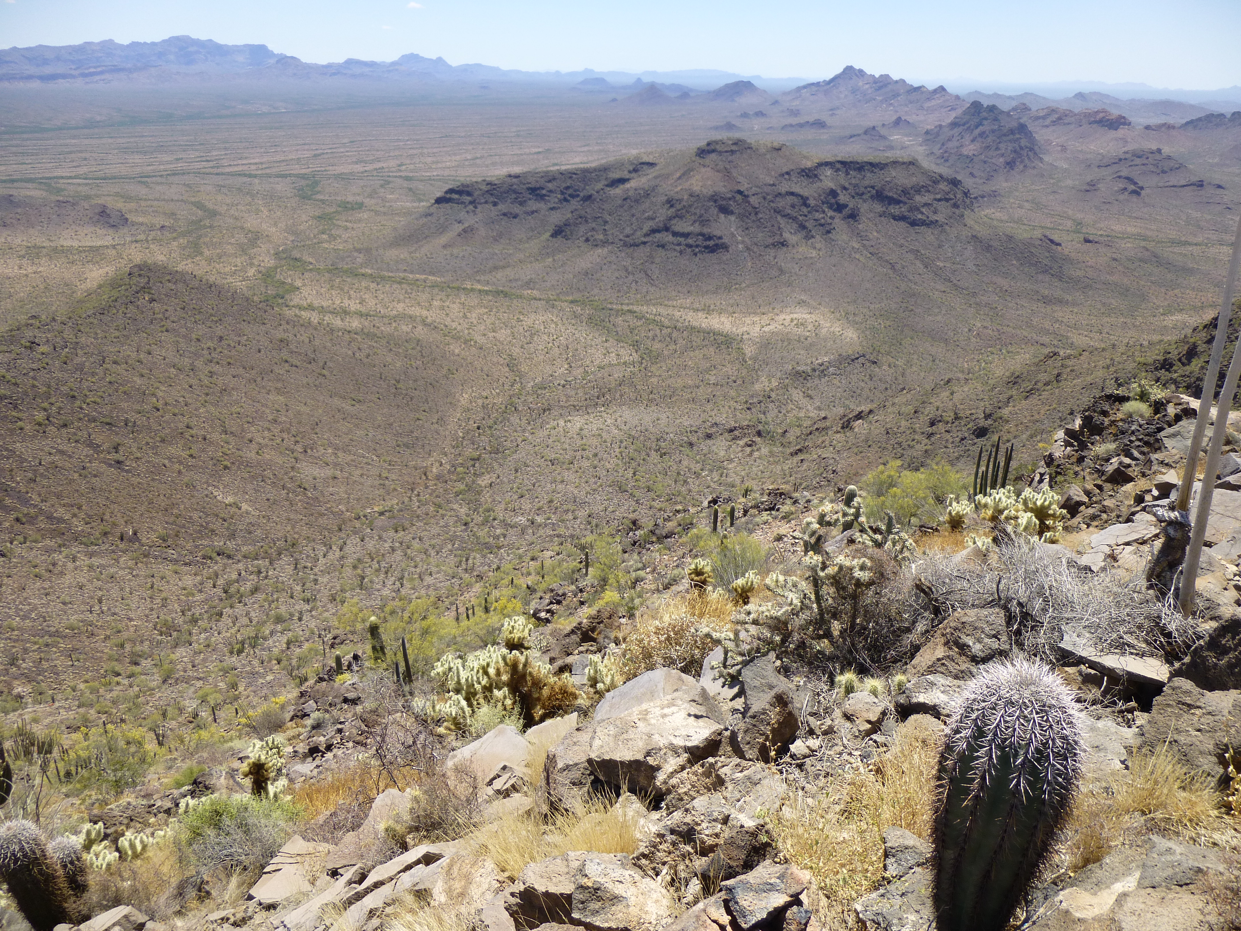
Before leaving, I had this last great view into the heart of the Bates Mountains. Check it out.
On the left is Peak 2848; the double peak of 3019 is in the middle; the mighty Kino Peak is the dark one on the right in the back
It was another 1,100-foot drop to get off the second peak – hmmm, this day was starting to seem like a roller-coaster ride. From the desert floor, I saw my third and final objective for the day.
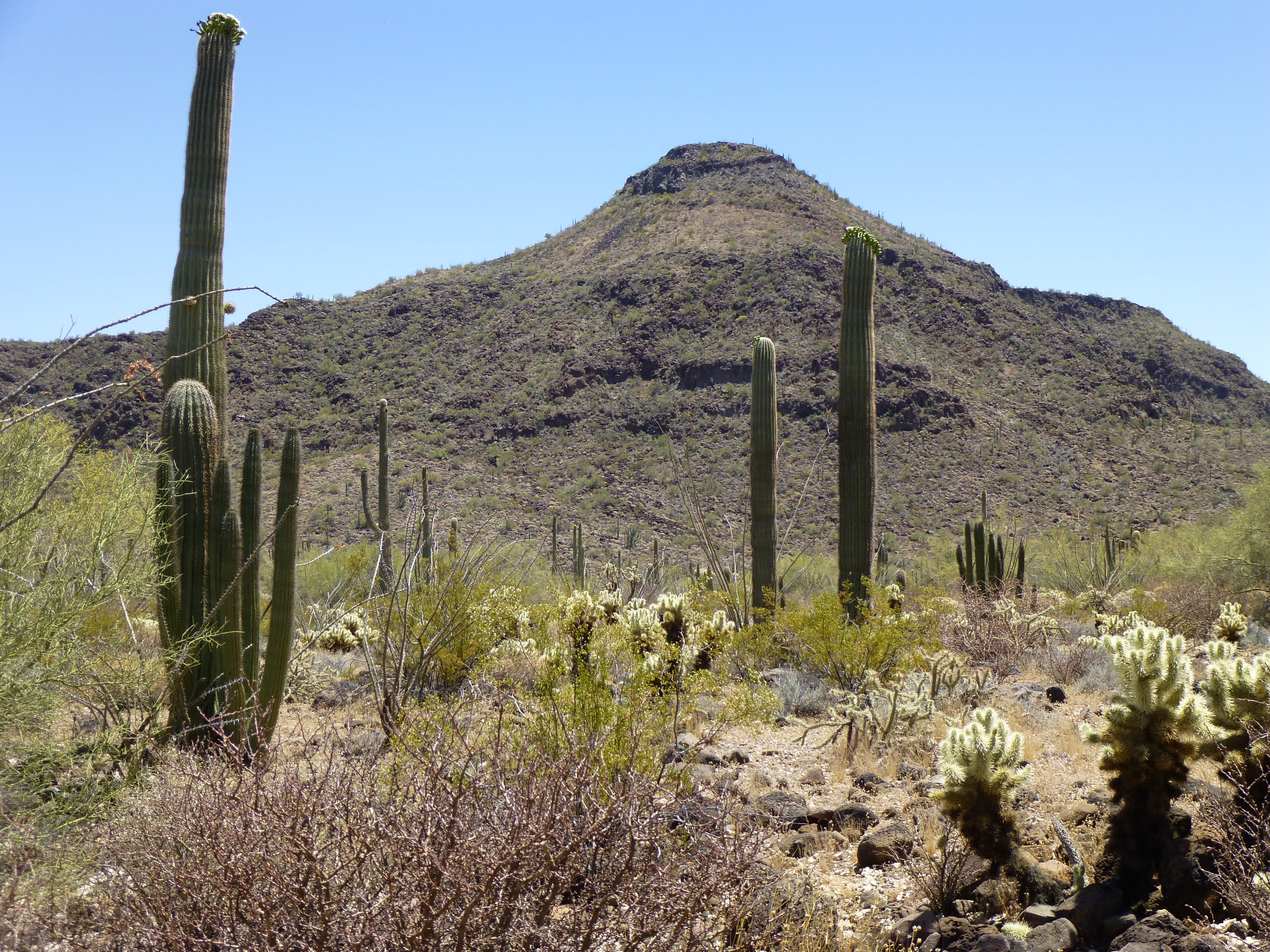
One more
This one was only a 750-foot climb, but it seemed to go slowly – I was getting tired. After dodging a few cliffs, I walked on to the summit of Peak 2541 at around 2:15 in the afternoon. The register left by the first-ascent party was long gone, thanks to the smugglers who have infested the area like vermin. I chose to not leave another, there’d be no point until the pestilence has been wiped from the land.
Early in the morning, I’d scoped out 2541 on the walk in and decided its long south ridge would be a smart way to exit the peak. As I started down, this view south into the Puerto Blanco Mountains greeted me.
Looking south into the Puerto Blanco Mountains
Most climbing accidents happen on the descent. There are any number of reasons for this: fatigue, not paying enough attention to your surroundings, being absorbed in other thoughts such as the cold beer waiting at the truck, etc…. I made my way down a small cliff, then figured I had it made – all I needed to do now was walk down a moderate slope and lose about 600 vertical feet in the process. Anyone who’s been climbing for a while has fallen when they least expected it – if they tell you it’s never happened, they’re a liar. I was about 11.5 miles into my day at this point. At around two feet per step, that means I’d taken about 30,000 so far, all of them without incident. Then my luck ran out – on the next step, a rock rolled out from under my foot and down I went. It was all over in a second, but as it happened it seemed like I could see it in slow motion. I hit the ground prone, on my right side and pointing downhill. My right leg, arm and shoulder took most of the blow. After I hit, the wind was knocked out of me – I lay there groaning, not moving, trying to decide if any real damage had been done. It hurt like hell, but when I finally decided to move and right myself, it seemed like nothing was broken. As I picked out the cactus and dusted off my ego, it occurred to me how lucky I’d been. I’ve lost friends who’ve taken a fall, but it was not my day to die.
After this sobering experience, I dropped the rest of the way down to the desert floor and made my way slowly back to my truck. I only had a couple more miles to go, all of it on easy ground. Just to the south of Peak 2541, there’s a drainage that flows from east to west and runs past Acuña Well – I believe that this wash is the boundary between the Bates Mountains to the north and the Puerto Blanco Mountains to the south. That being the case, I had just climbed the last of the peaks in the Bates Mountains, following in the footsteps of Bob Martin, definitely the pioneer peakbagger in this area. It felt good to be done with the range and to have another good day under my belt.
Please visit our Facebook page at: https://www.facebook.com/pages/Desert-Mountaineer/192730747542690