
A bunch of other climbing done, it was now time to focus on a new area, the northern part of the Sauceda Mountains. Most of that area lies within the Barry M. Goldwater Air Force Range East, which is an interesting place, to be sure. There are three types of land within the Sauceda part of the Range, and the differences are significant. One is called the Public Use Area, and the public may enter that area any time, provided that you have first completed a few tasks – sign a hold-harmless agreement (this is where you agree that if, for any reason, you get hurt or killed by unexploded ordnance laying on the ground, or by deadly stuff falling from the sky, you and your heirs cannot sue the U.S. government for any reason); watch a video explaining the above; display in your vehicle and carry on your person a credit-card-sized permit issued by the Air Force. The second type of land within the Range is called the Hazard Area – this is like the Public Use Area, but you need to get clearance from the Air Force each time you wish to enter, by calling them directly. Most weekends of the month are okay, but you still need to call ahead each time. The third type of land is the Tactical Area (also known as the Hot Zone) – no civilian is allowed to enter that area, ever. Oh yes, one more thing – locked gates bar entry to all parts of the BMG, so you need to know the gate code (which is changed regularly) which you can only get when you obtain your permit. Also, you need to go through all of this each year, as all permits expire every June 30th. Okay, enough of that.
There were a lot of unclimbed peaks in the Saucedas, both for myself and for all of humanity. It was an exciting new adventure, and I was ready for it. I thought I’d start by driving to Black Gap on Arizona Highway 85, then through Gate 5. This road went a short distance east and I found myself parked between two dark peaks.
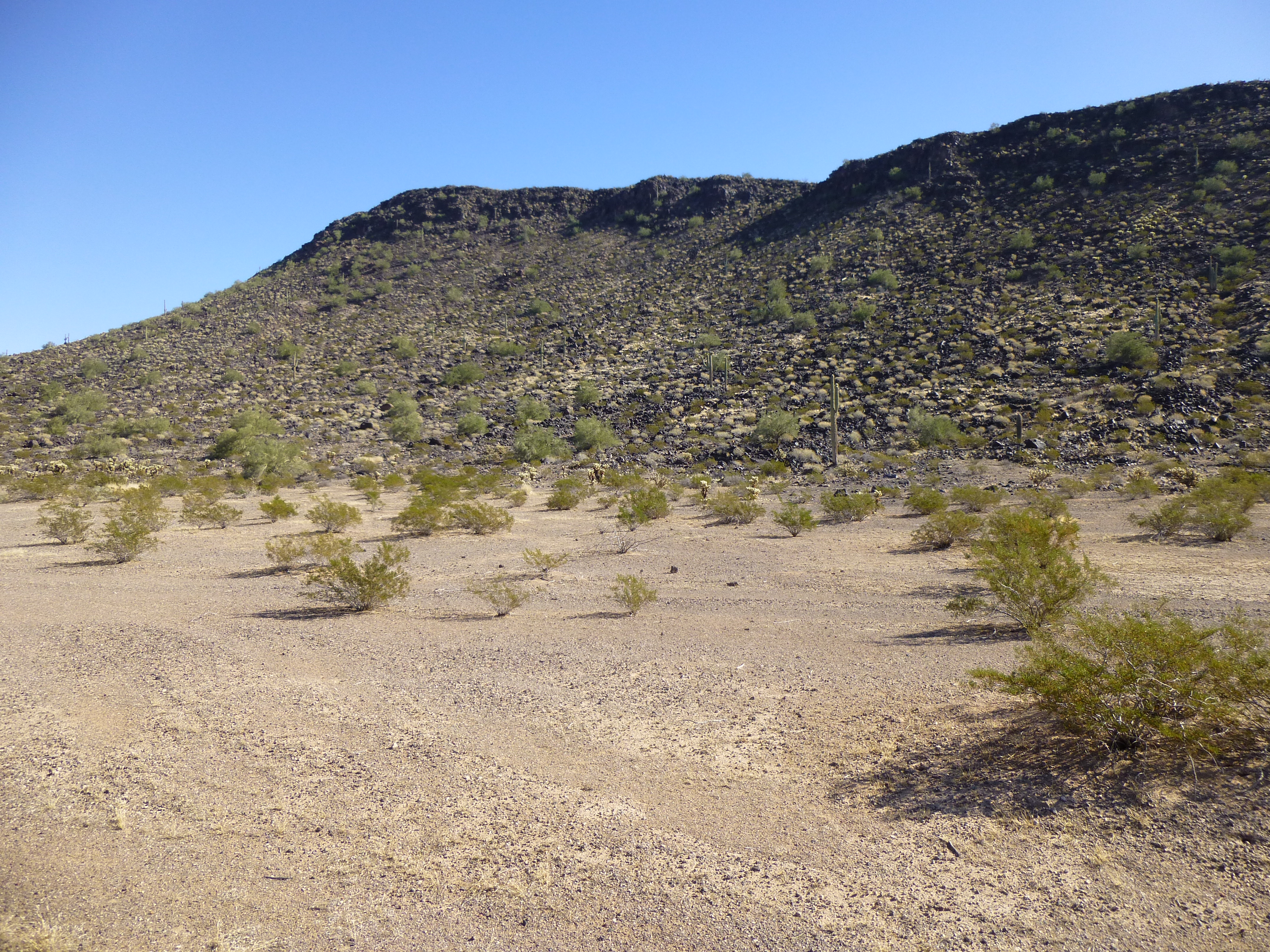
Peak 1649 – the highest point is at the left end of the ridge
It was mid-day, and I thought a bit of a climb would help break in my new pair of boots. It was short work to climb to the top of Peak 1649, and much to my surprise I found a terracache.
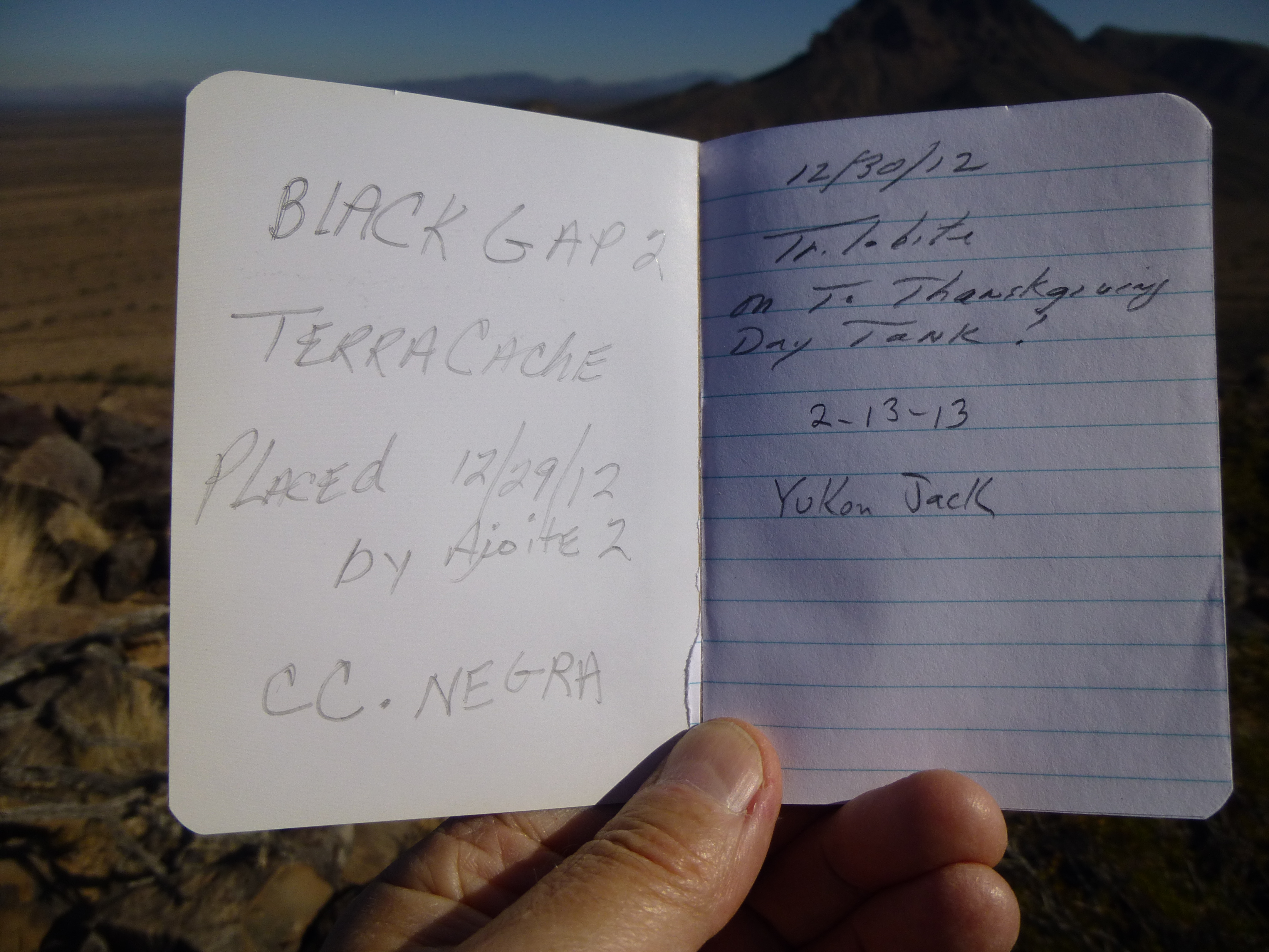
The terracache register on Peak 1649
It was cold and windy, and I didn’t stick around. Back down I went to my truck, adjusted my boots, and then straight up the east side of Peak 1710.
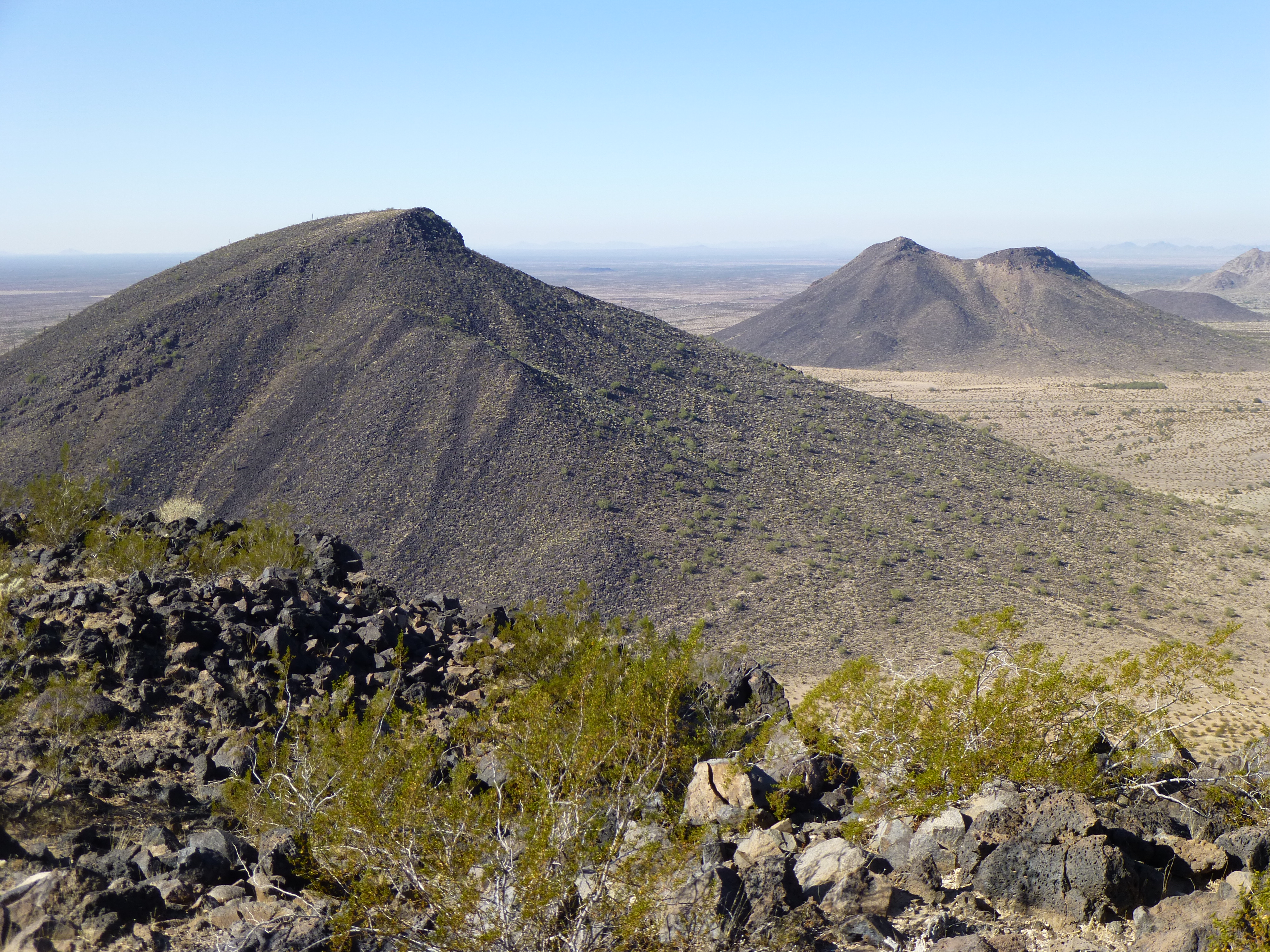
Looking west to Peak 1710 on the left
There too I found a terracache, with 9 prior entries. Half of them were climbers, the others were members of this strange new species, the terracachers, none of whom I’ve ever met in my travels (I hope they’re friendly towards climbers). In this next photo, I’m looking across the highway and past Peak 1630 to the more distant White Hills, which happen to be the northwestern extremity of the Sauceda Mountains.
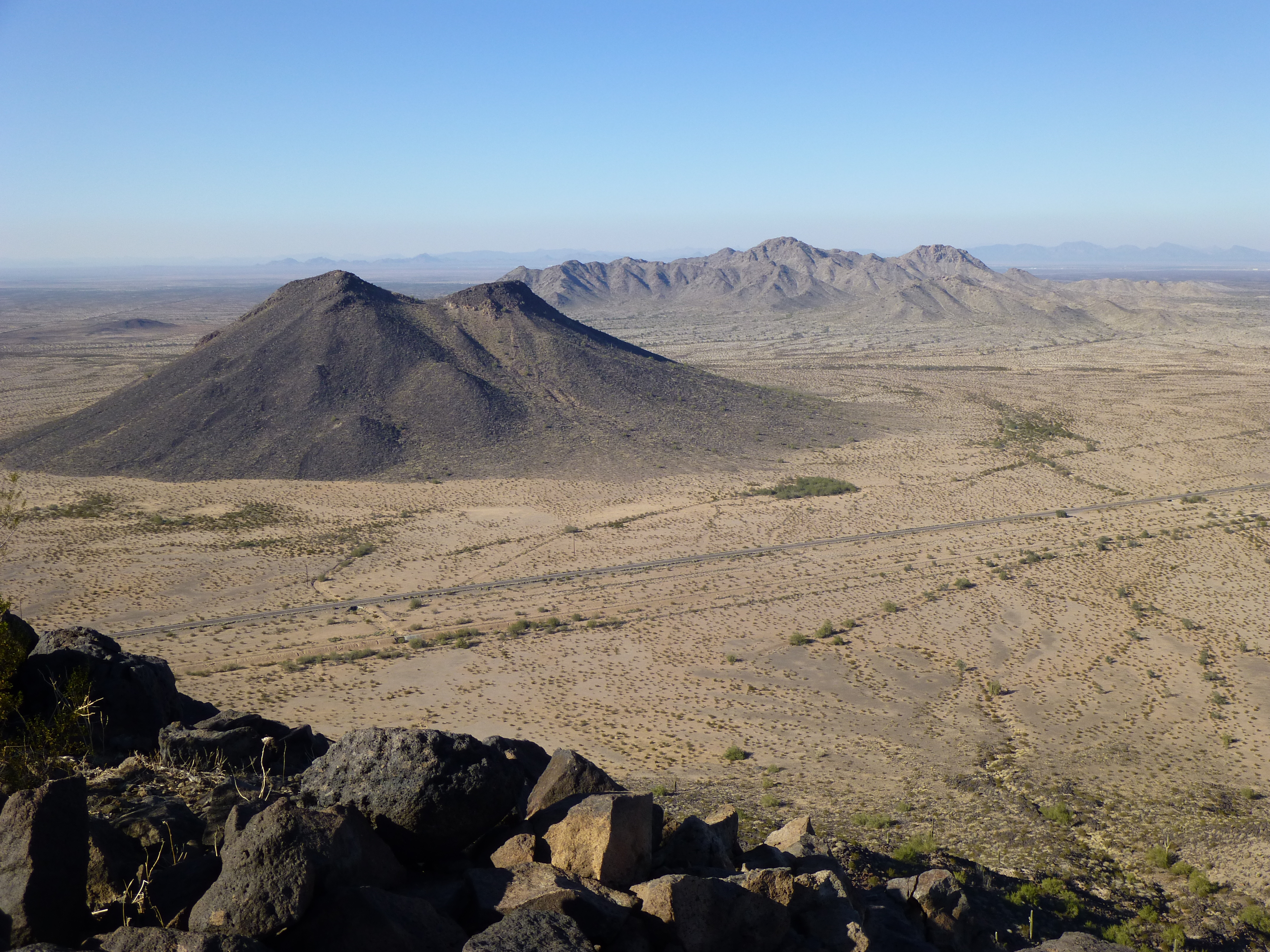
Looking northwest from Peak 1710
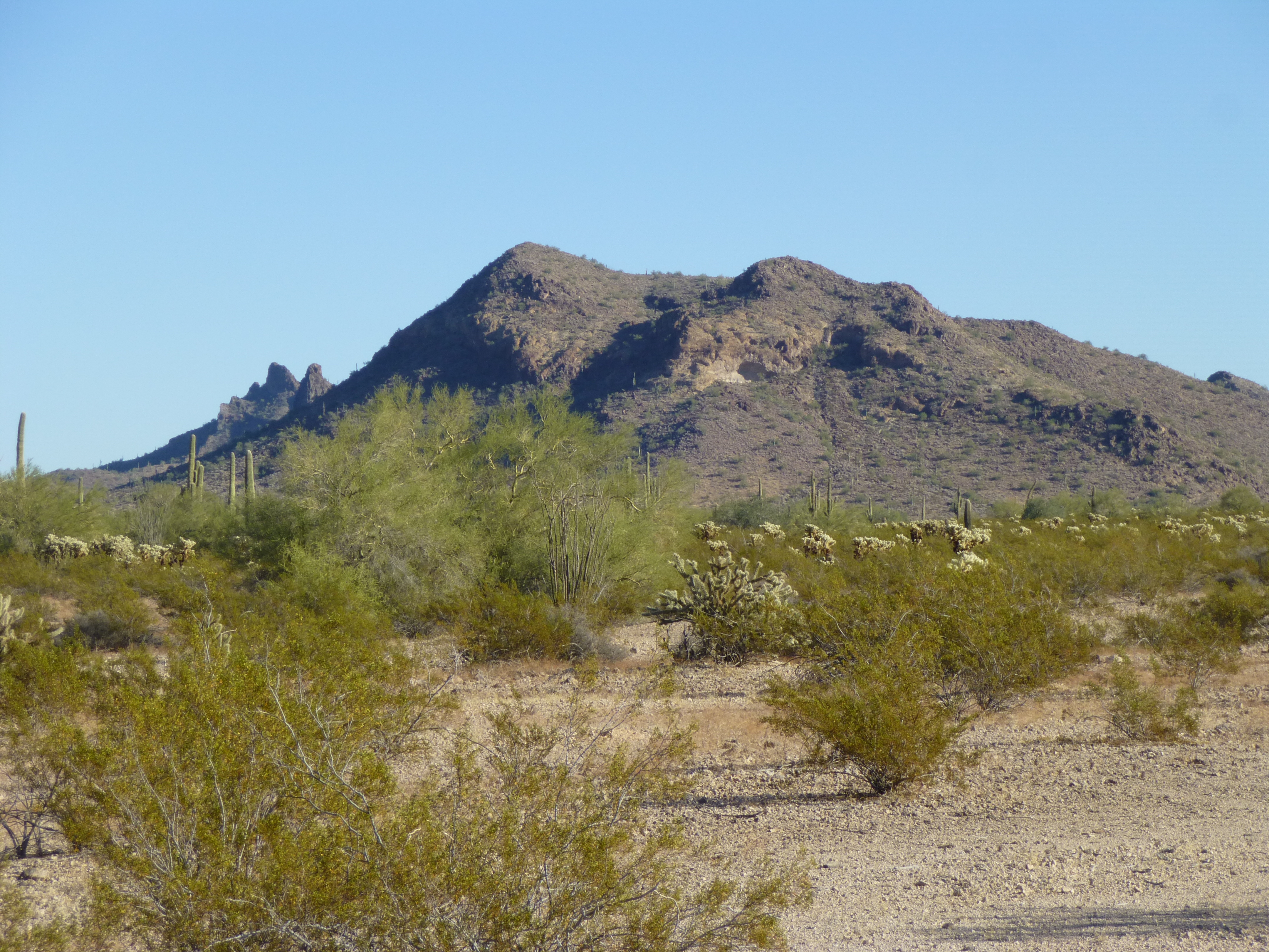
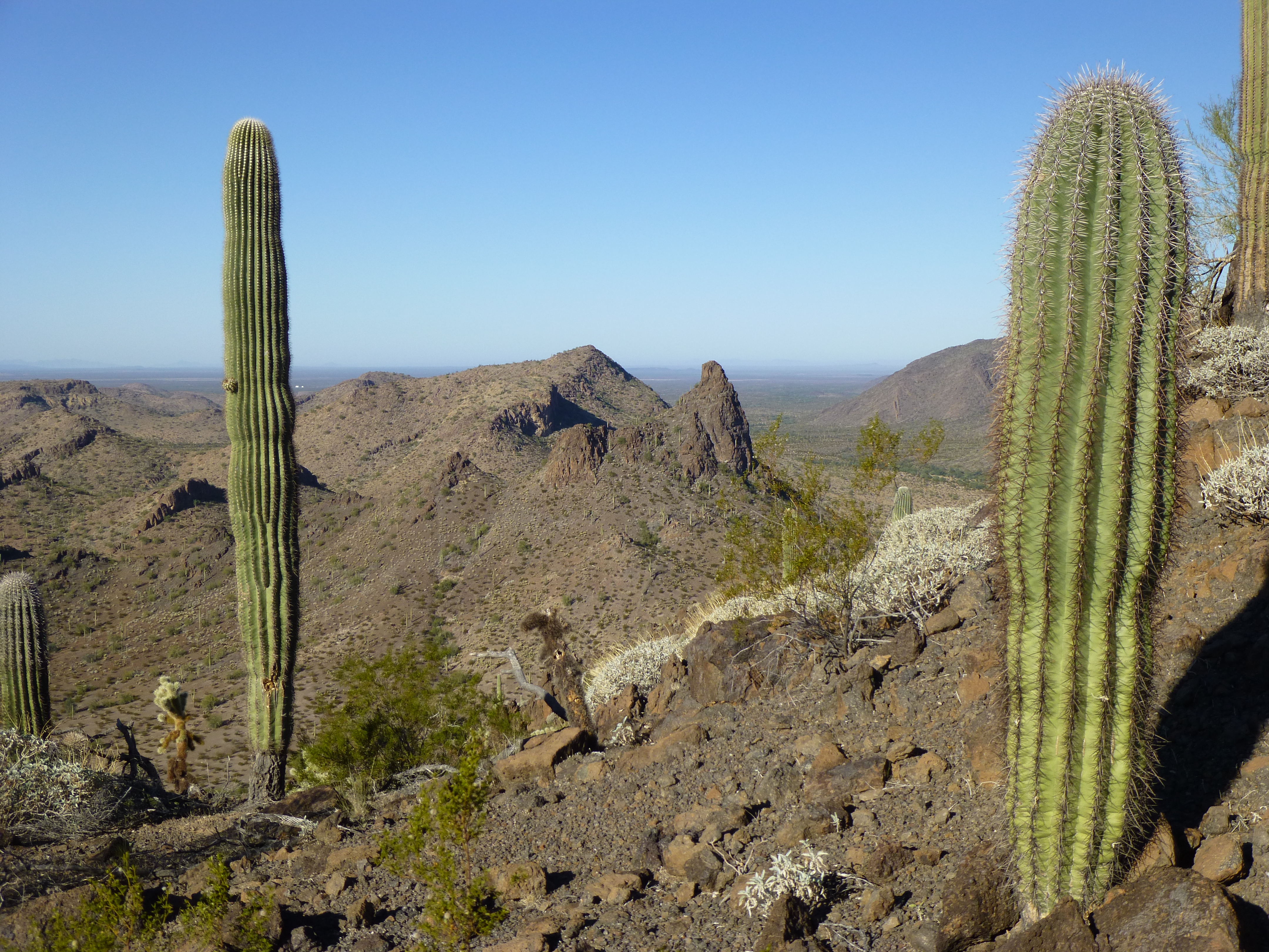
Okay, enough of that, it was time to drop back down to my truck. Once there, I continued east to park at the end of the road a couple of miles later. What a great place in which to camp – nice and flat, and a view to die for. Here’s what I had come for, Lookout Mountain. It was barely 2,600 feet high, but it rose a full 1,500 vertical feet above me. A friend had advised me to avoid the ridge to the east of the summit, and stay to the west. I took his words as gospel, as he was a skilled technical climber and had been cliffed out on the east side.
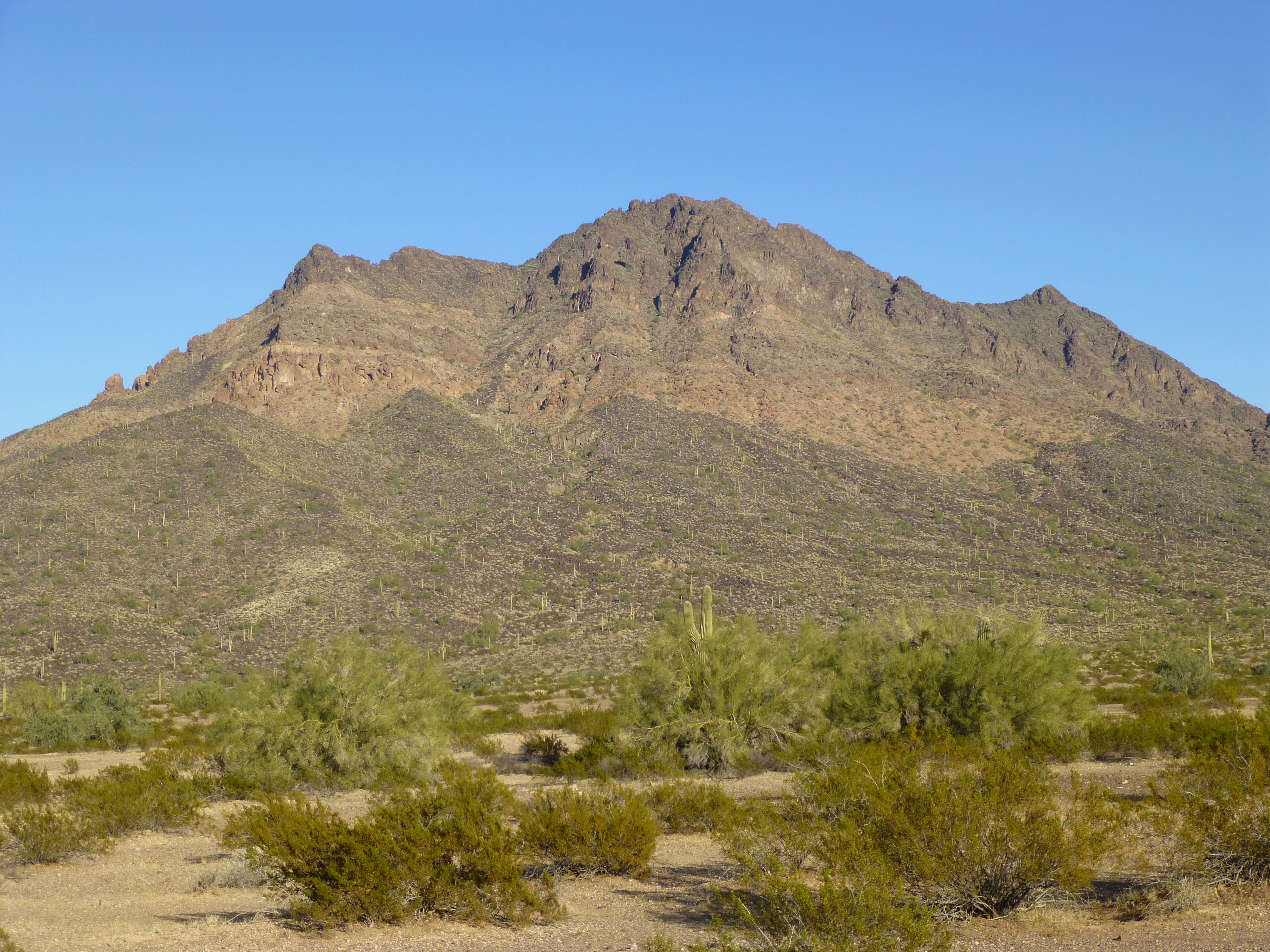
Looking east to Lookout Mountain
All I had to do now was get a good night’s sleep and have sweet dreams of the climb. When I awoke the next morning, it was freezing cold, so I rolled over and went back to sleep. By the time I was finally up and ready to go, the sun was shining on the truck and it was nine o’clock – hmmm, it appeared I was now keeping banker’s hours.
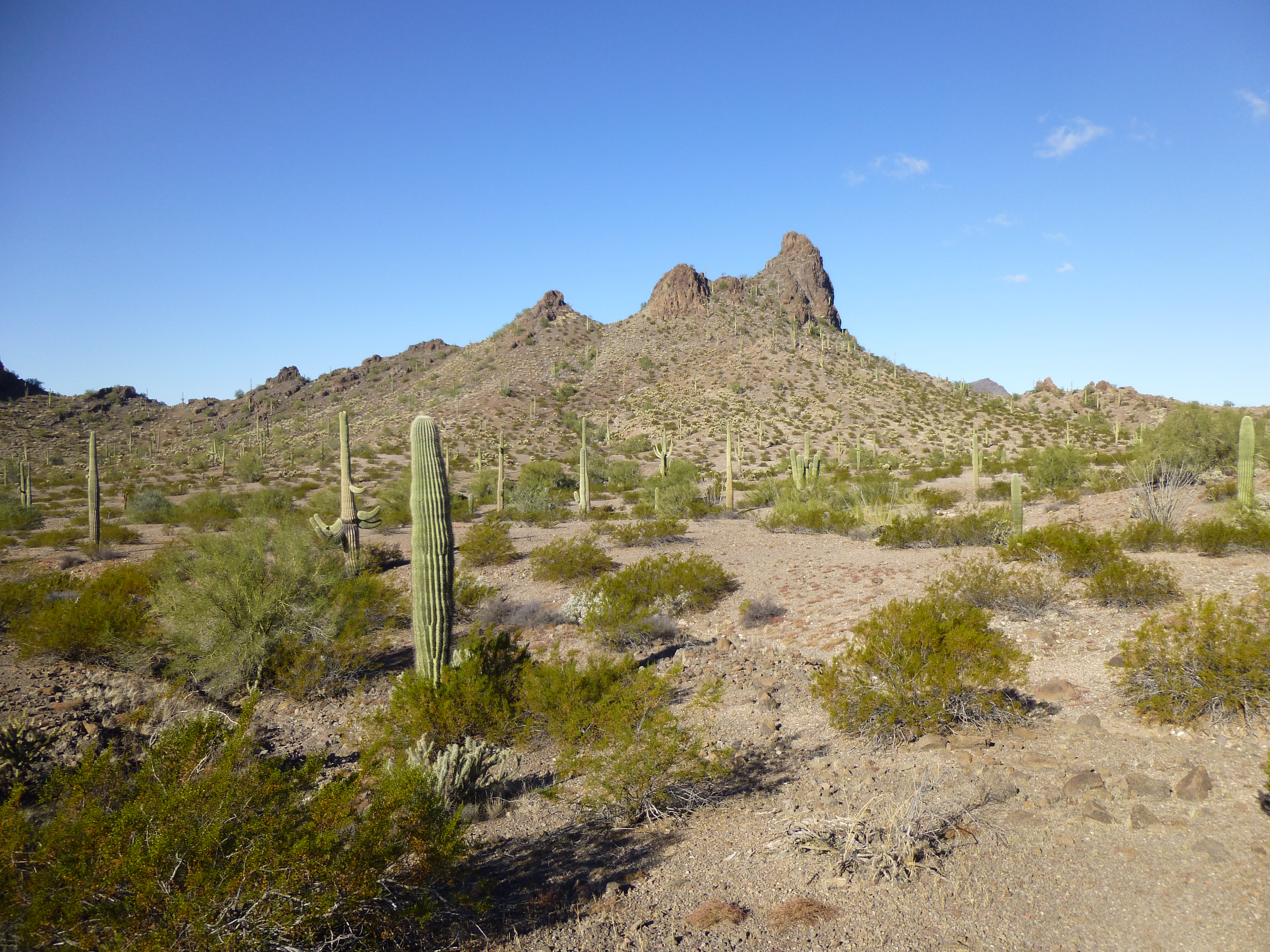
It was a short walk across the flat desert floor to the base of Lookout Mountain. Then began a meandering climb up a slightly-inclined, boulder-strewn area that would take me higher and higher, steeper and steeper, up the southwest side of the peak. As I climbed, I could plainly see the slope ahead, and there appeared to be no difficulties in reaching a fairly level spot on the summit ridge at around 2,400 feet. Once there, I got a bit of a surprise – the route ahead looked anything but obvious. In fact, the entire north side of the ridge was a huge, messy, unappetizing wall of cliffs. I had no way of telling where, in all of that, lay the summit. All I could do was follow the ridge and hope it kept going, at least in a way that I’d be capable of doing.
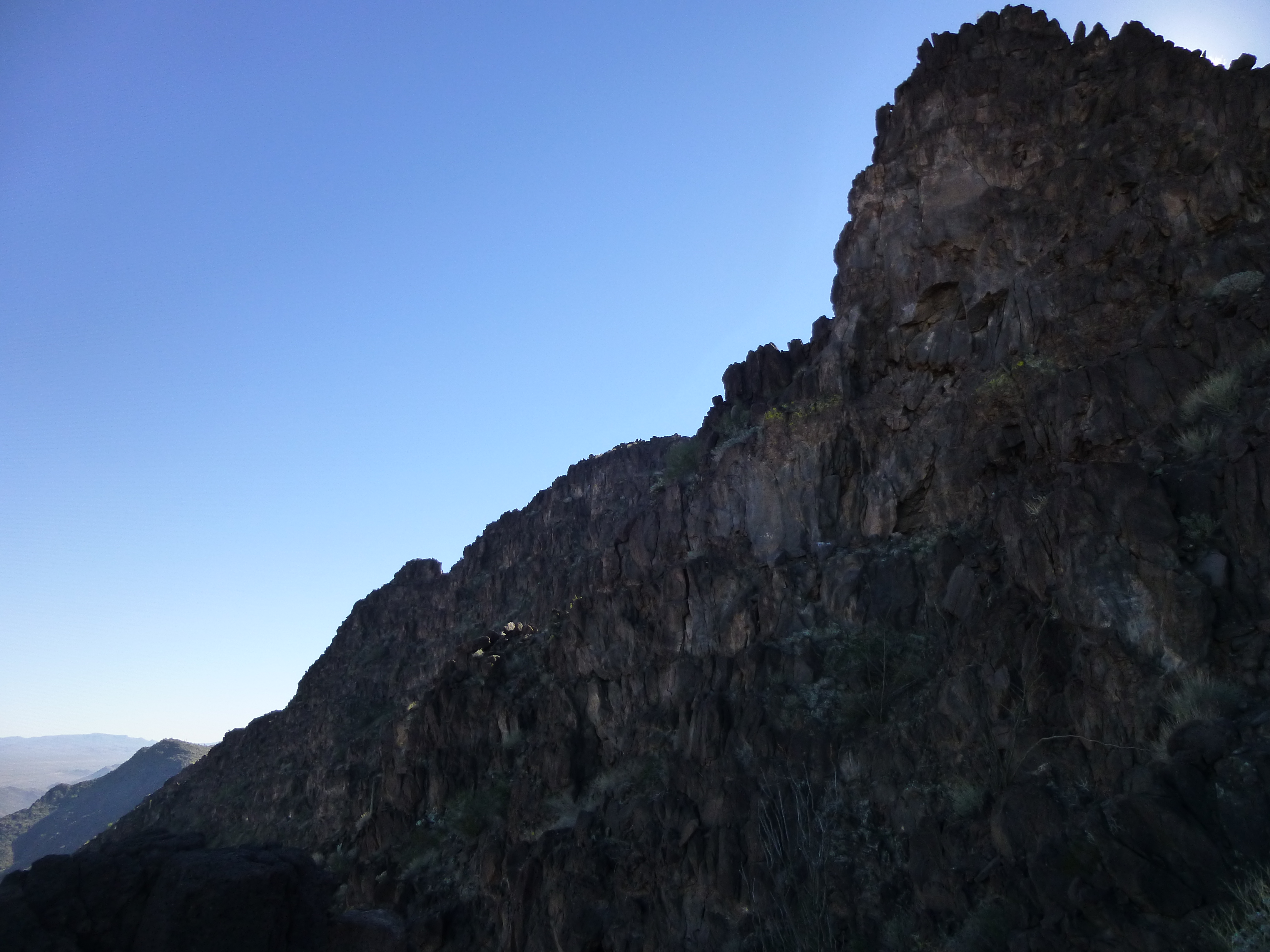
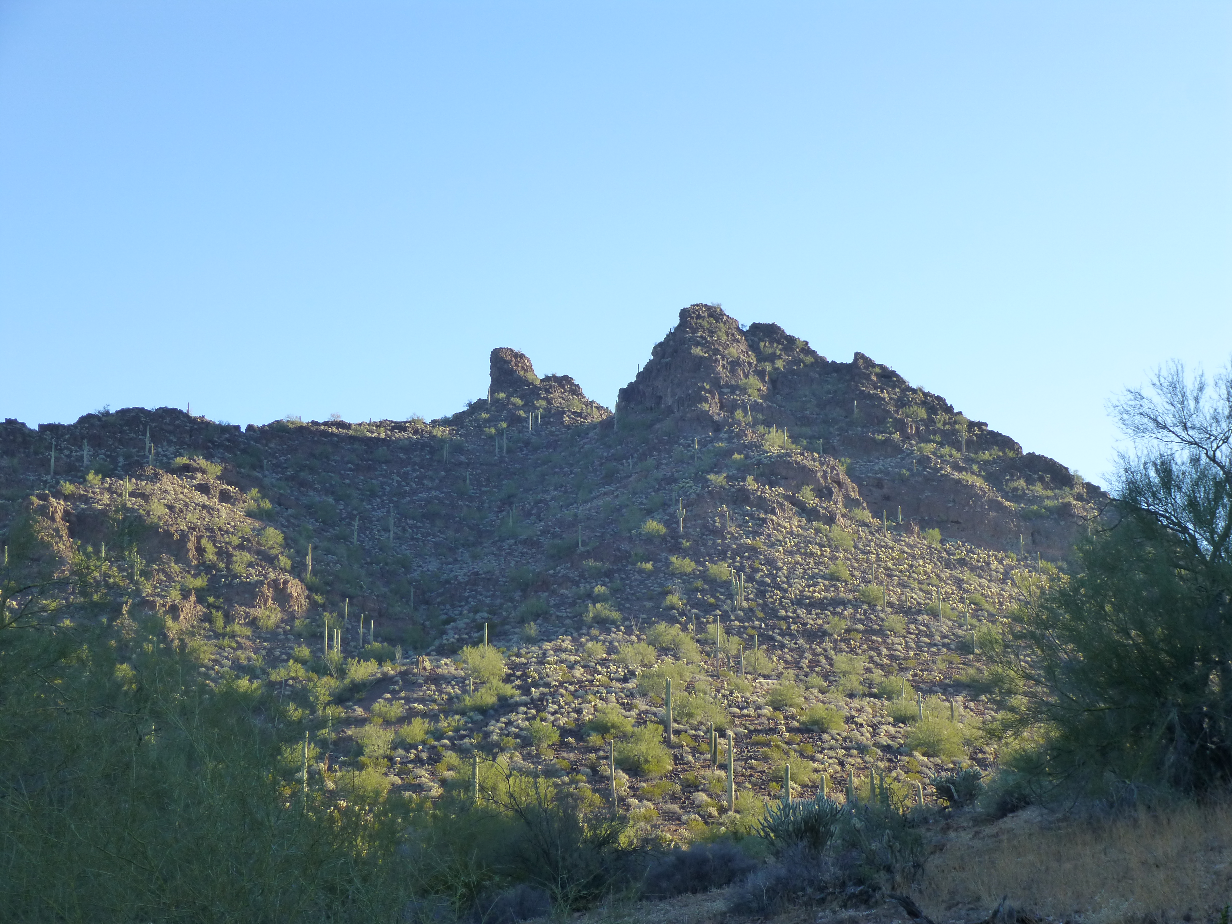
The north side of Lookout Mountain
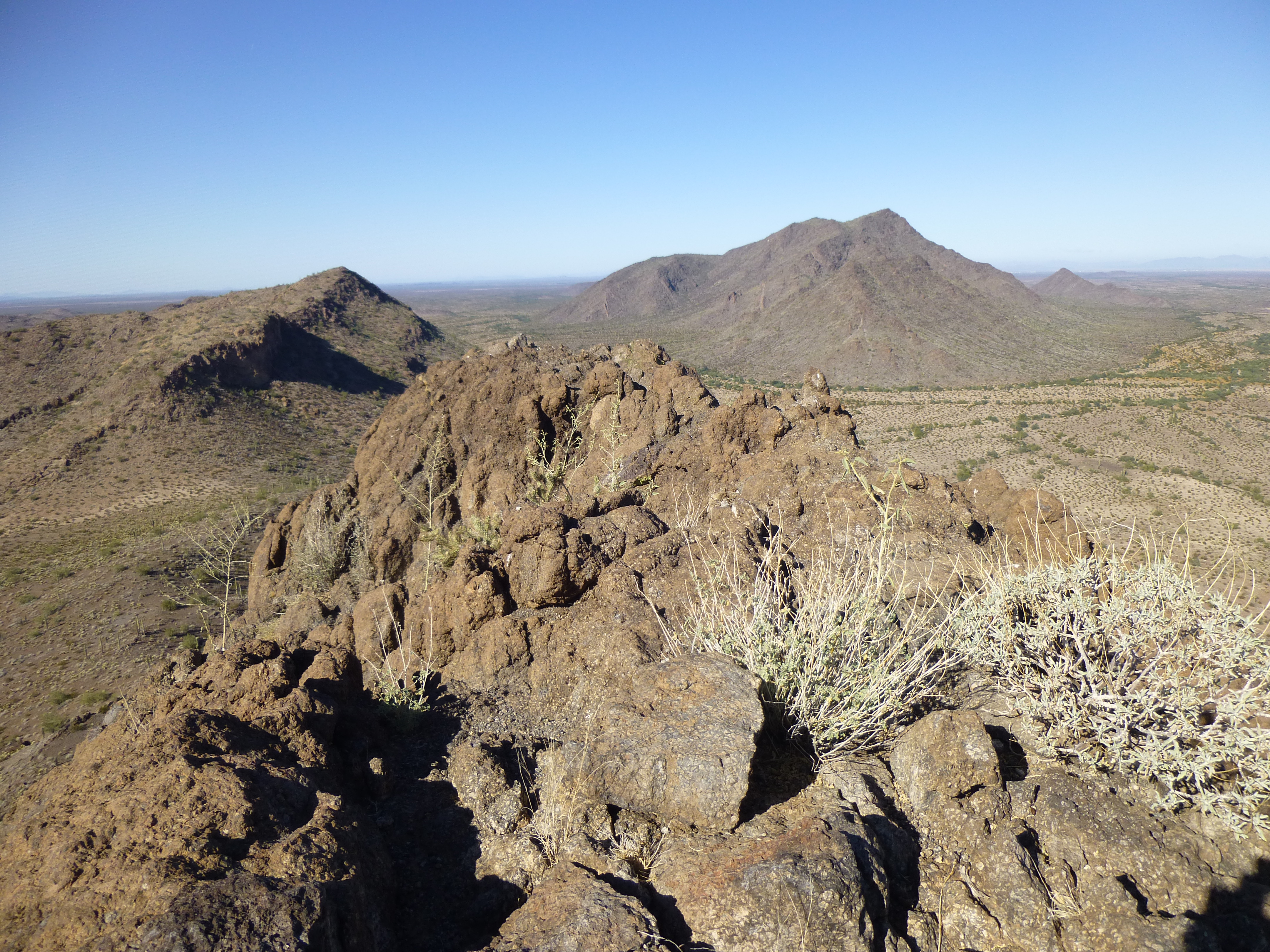
Although I didn’t know it at the time, I had 240 vertical feet to climb, over a horizontal distance of 1,000 feet. The ridge turned out to be loose and broken, enough so that it had become a series of pinnacles and bumps. To give you a better idea of the terrain, here is a view of the south side of the ridge, as seen on the way out later in the day.
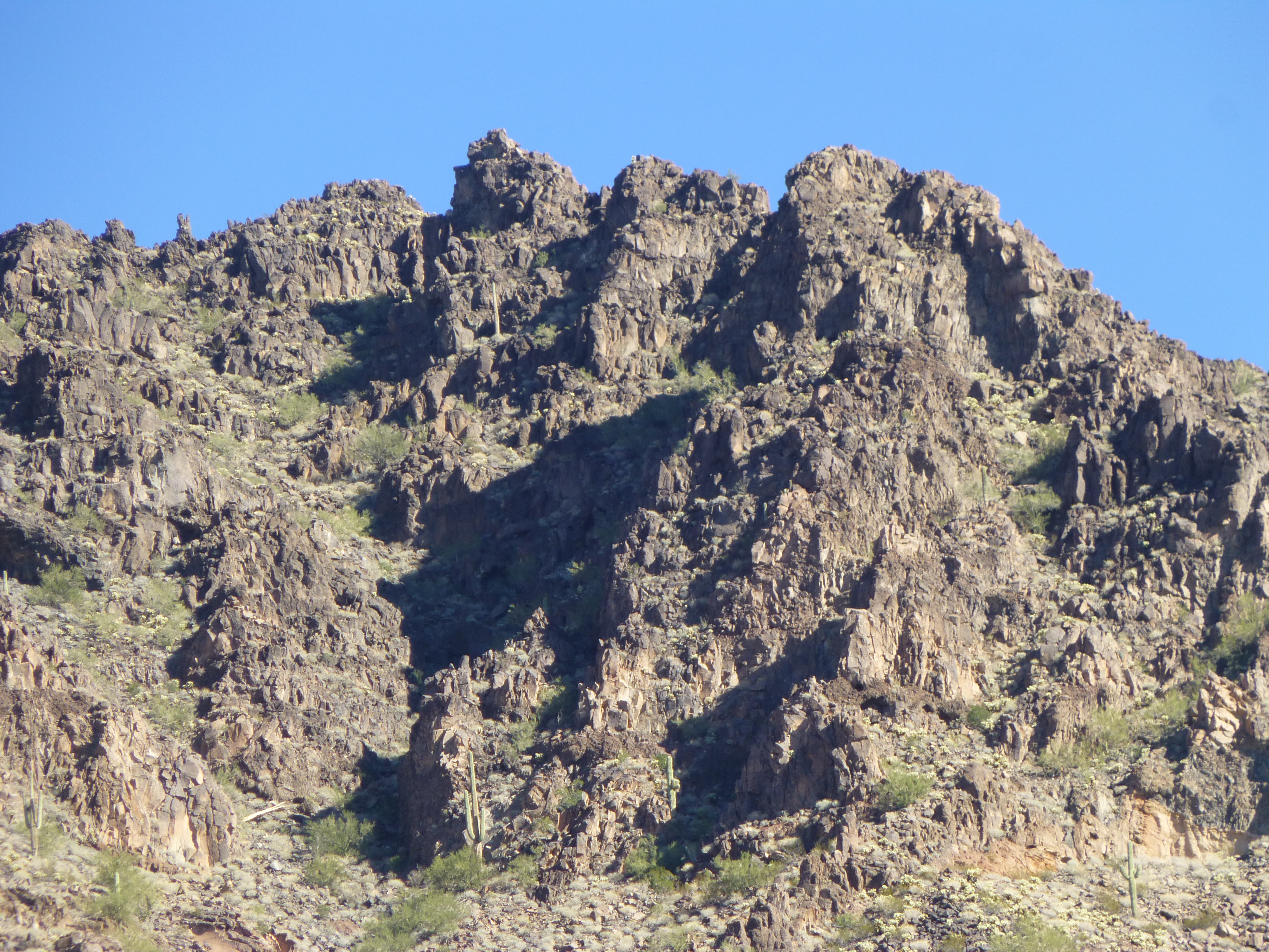
The broken summit ridge of Lookout Mountain
It turned out to be a lot of fun following the ridge – one moment I’d be climbing up a gully or pinnacle; the next, dropping down to get over to the next bit – anything to keep moving forward. Finally, I reached a point where I could see ahead to what had to be the summit.
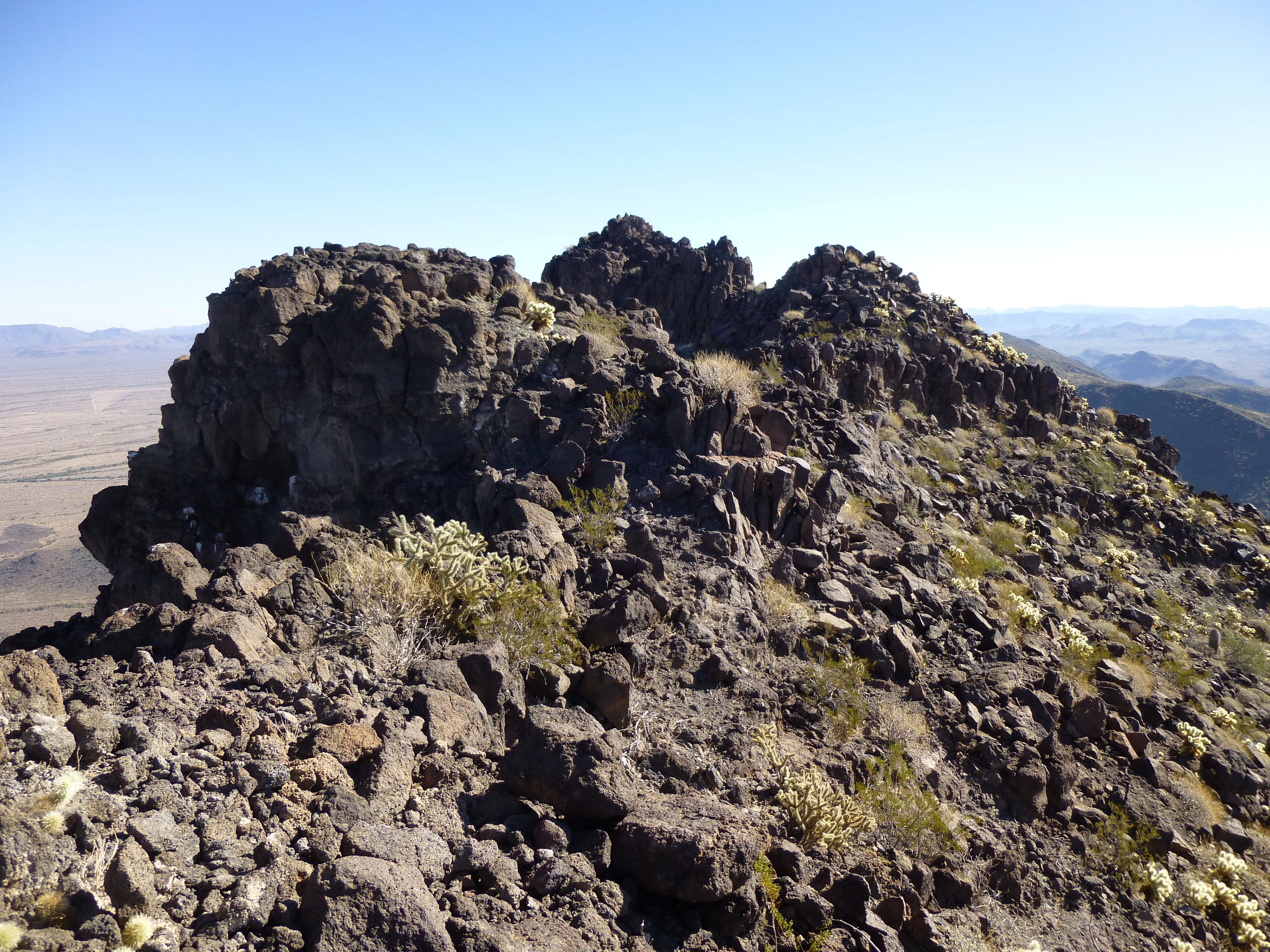
The last several hundred feet to the summit bump, the one in the middle.
There was nothing worse than Class 3, which was the very last bit leading up to the highest point. The register contained 13 entries, several of them old friends, and I added mine. It’s funny – I’d been looking at this mountain for many years as I’d driven by on the highway, wondering what kind of a climb it would be (the summit looked messy, so I thought it’d be a challenge). So now I knew. I spent little time on top, signed in and started down. The return along the ridge, in fact the whole trip back out, seemed a lot quicker – it often does once the mystery has been removed. Just under 5 hours round-trip had passed by the time I reached my truck.
Since it was only two o’clock, there was plenty of daylight remaining to move on. I drove back out to the highway, then a mile south to Gate 6A. This was my first time through that gate, and because I love to travel into a new area, I was in seventh heaven. I drove well into the Hazard Area on a dirt road and camped for the night. On the way in, I had this tantalizing view – I wasn’t sure what I was looking at, but it concerned me. If those were peaks in the back on the left I had to do, yikes! – I could be in trouble.
Peak 1948 on the right, and ??? in the left in the back
The next day……….hmmm, I can’t really tell you where I went, but let’s say it was an exciting day of climbing. Once done and back at the truck, I drove a short distance and camped again beside the road.
Those two peaks in the above photo, the ones that had worried me – well, they were on my agenda for today, and there was nothing I could do but get up close and personal with them. There’s nothing like boots on the ground and your nose to the rock to see what’s going on, to see if you’re really going to be able to climb it. I set out from my truck and covered a quick mile, ending in a pretty little valley between my two peaks.
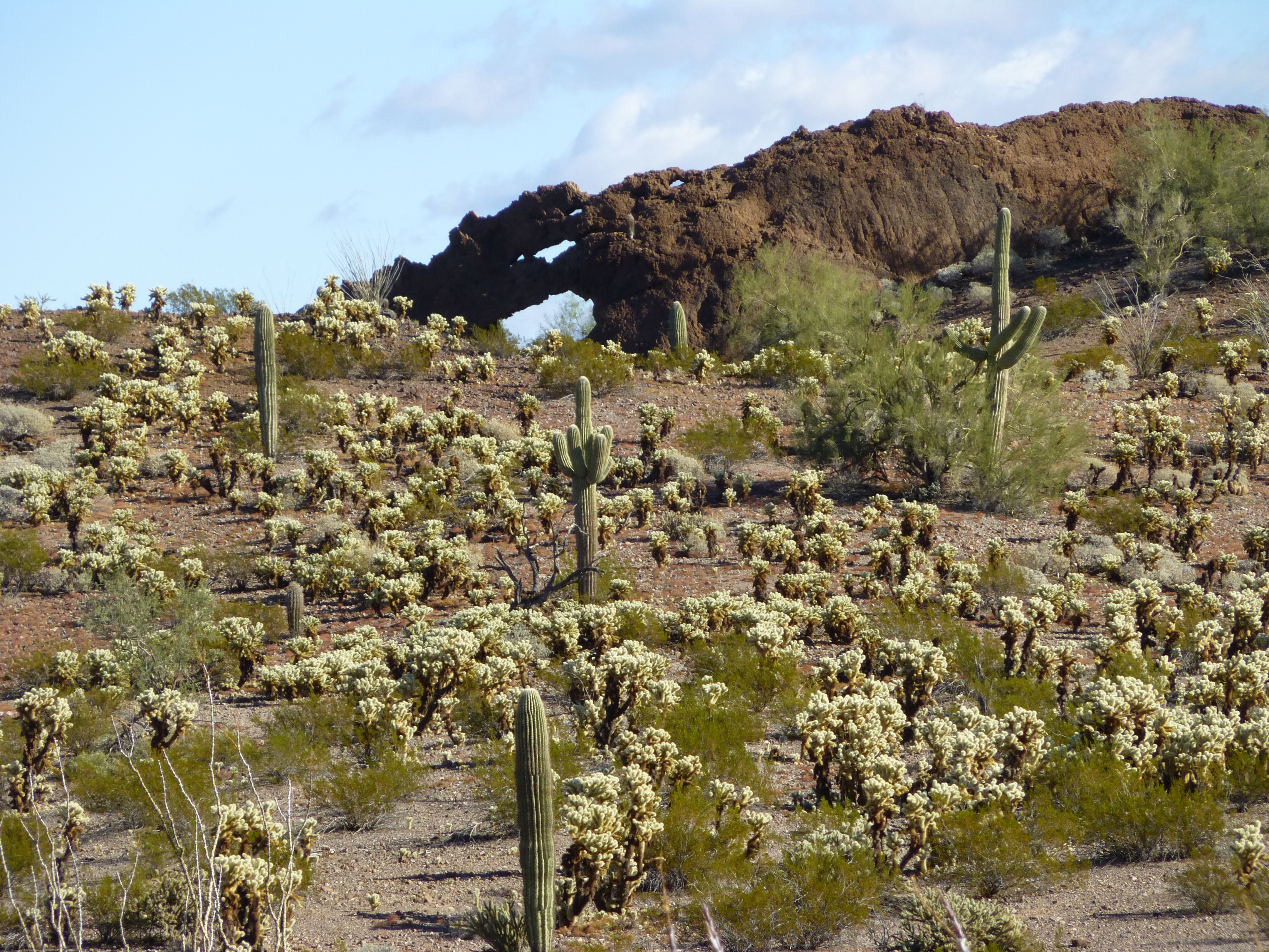
Desert splendor
As I stood at the base of my peak, looking up at it didn’t inspire much confidence – I knew it was the sharp bump on the left.
Peak 2059, the southwest side
It was cold and windy as I climbed up to a saddle between the summit and a lesser bump to the south. So far, so good – I couldn’t see all of the last 80 feet to the top, but I was encouraged. As I scrambled up, I came to a notch – maybe 30 feet left to go. So close, but now it didn’t look so promising.
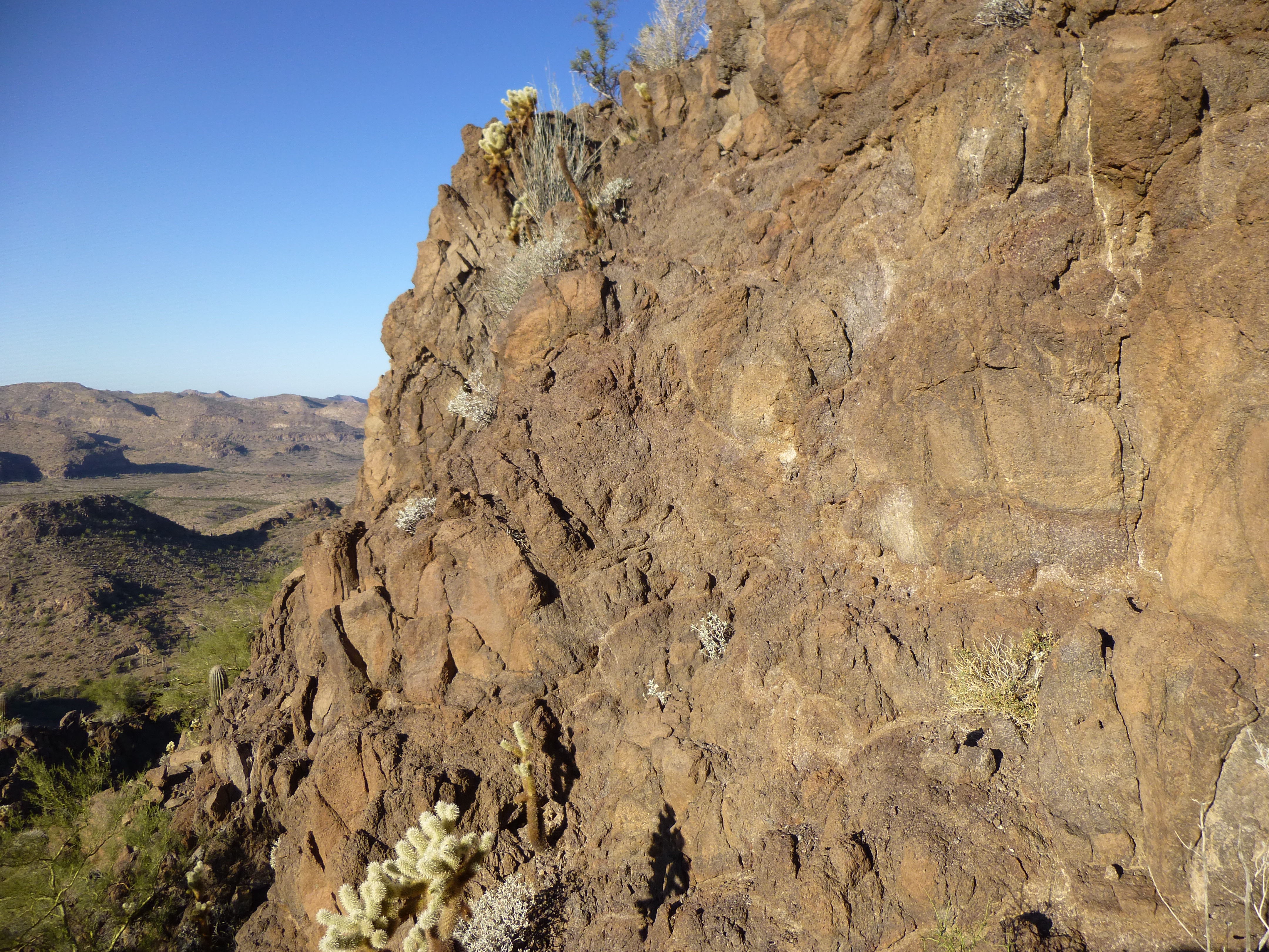
The steep rock on the last bit
There was no simple way up. I checked out a few possible routes, but didn’t like any of them. I had to do something – after having come so far, I wasn’t just going to turn around and go home – that’s an option I rarely choose. Finally, I settled – as long as the rock didn’t come apart in my hands, I’d give it a go. I started up, and had to negotiate a bulge with nasty exposure, maybe low 5th. The moves weren’t hard, but it was still a brown-trouser moment. I let out a whoop as I pulled over the crux and walked the last bit to the top. Nobody had stood on Peak 2059 before, so I left a register to commemorate the event. Getting back down was an inwards-facing event, and it felt good to be down off the worst of it. While taking a breather up high on the peak, I had this look over to my next one, just over half a mile away.
Looking west to Peak 1911
This one had also kept me worried for a few days. I dropped down to the desert floor to have a better look.
A closer look at Peak 1911
As I got closer and climbed up, things seemed brighter – it didn’t look too bad after all. With a bit of poking around, a decent route came to light, Class 3-4. Nothing too scary, not too much drama – I stood on the summit of Peak 1911 before I knew it.
Looking west on the summit of Peak 1911
Another virgin summit – I left my register, and was back at my truck within an hour. A short drive took me to my next one, Peak 1948 – this one was easy.
The southwest side of Peak 1948
On top, while filling out my last register of the day, I had this view east to my two earlier peaks.
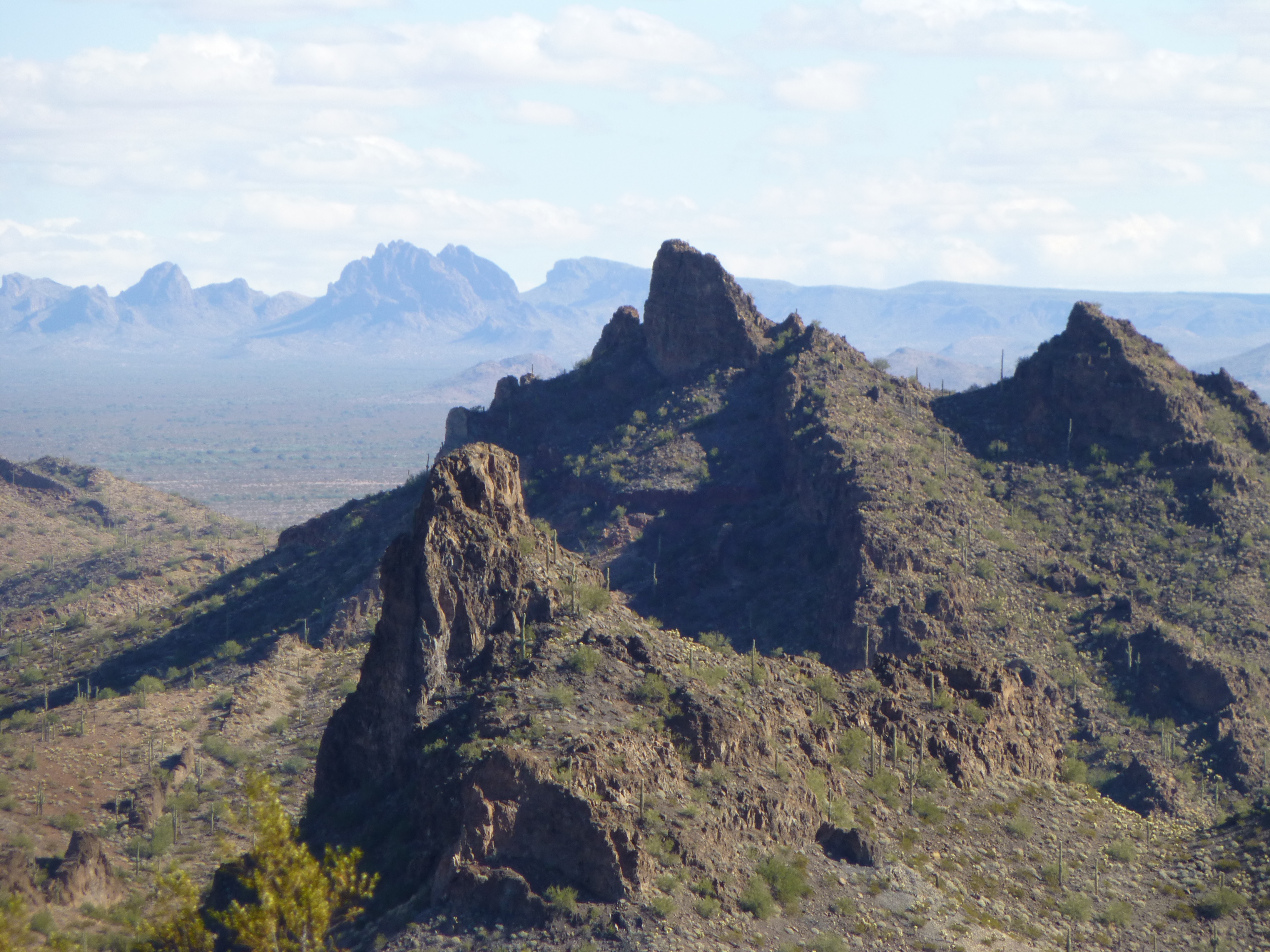
Looking east to Peak 2059 (center skyline) and Peak 1911 (lower, closer). That bulky peak in the distance to the left of 2059 is the mighty Dragon’s Tooth.
As I returned to my truck and drove back out to the highway, I realized I’d had a few lucky breaks on this trip, and I looked forward to my return to this amazing area.