
I am so unbelievably lucky – I can drive away from my home and in just over two hours enter a restricted bombing range where I can cherry-pick peaks that are first ascents. In this day and age, that may seem impossible, but I assure you, it isn’t. That’s what happened on an early February weekend recently. By mid-afternoon, I was unlocking the access gate to the Barry M. Goldwater Air Force Range (after phoning Range Ops to tell them where I was going to be) and motoring across the flat desert west of the Sauceda Mountains.
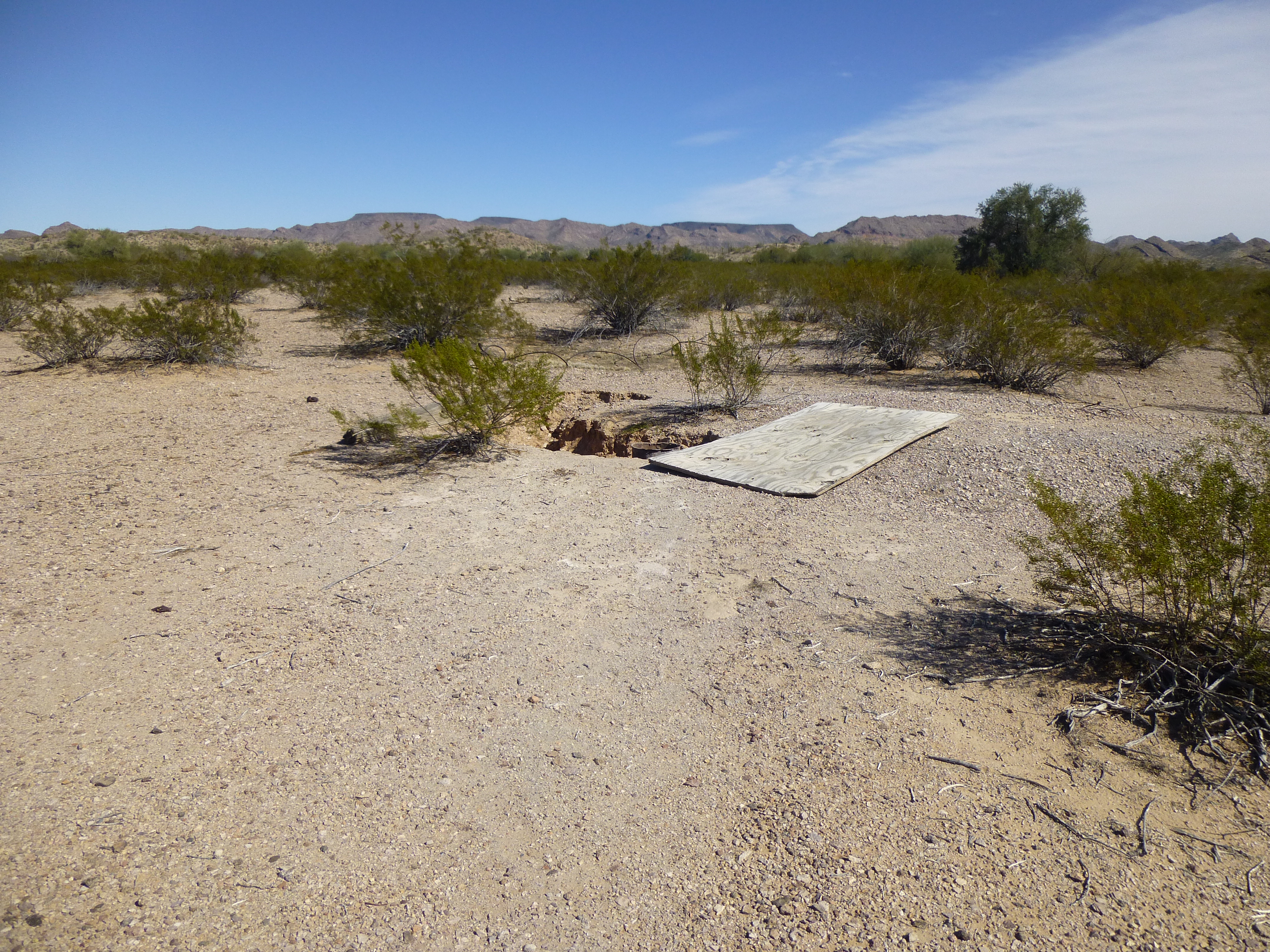
My expectations were high for this weekend – I’d be visiting a part of the Saucedas I’d never set foot in before, so I hoped to climb some great peaks and see some interesting things while I was at it. The first thing I wanted to see, 16 miles in on the bumpy dirt road, was something shown on some old maps as “Well That Johnny Dug”. Who was Johnny? When did he dig the well? Did he run cattle out there, or was he just trying to homestead? This, in a place that can often get up over 110 degrees F. in the shade in the summer. Somehow, I expected more than what I found.
Well That Johnny Dug
When I moved the thick sheet of plywood, I found a rusted pipe, perhaps 12 inches in diameter. When I dropped a small rock down inside it, it took a long time to hit the bottom, but I heard no splash, just a thump on the dirt.
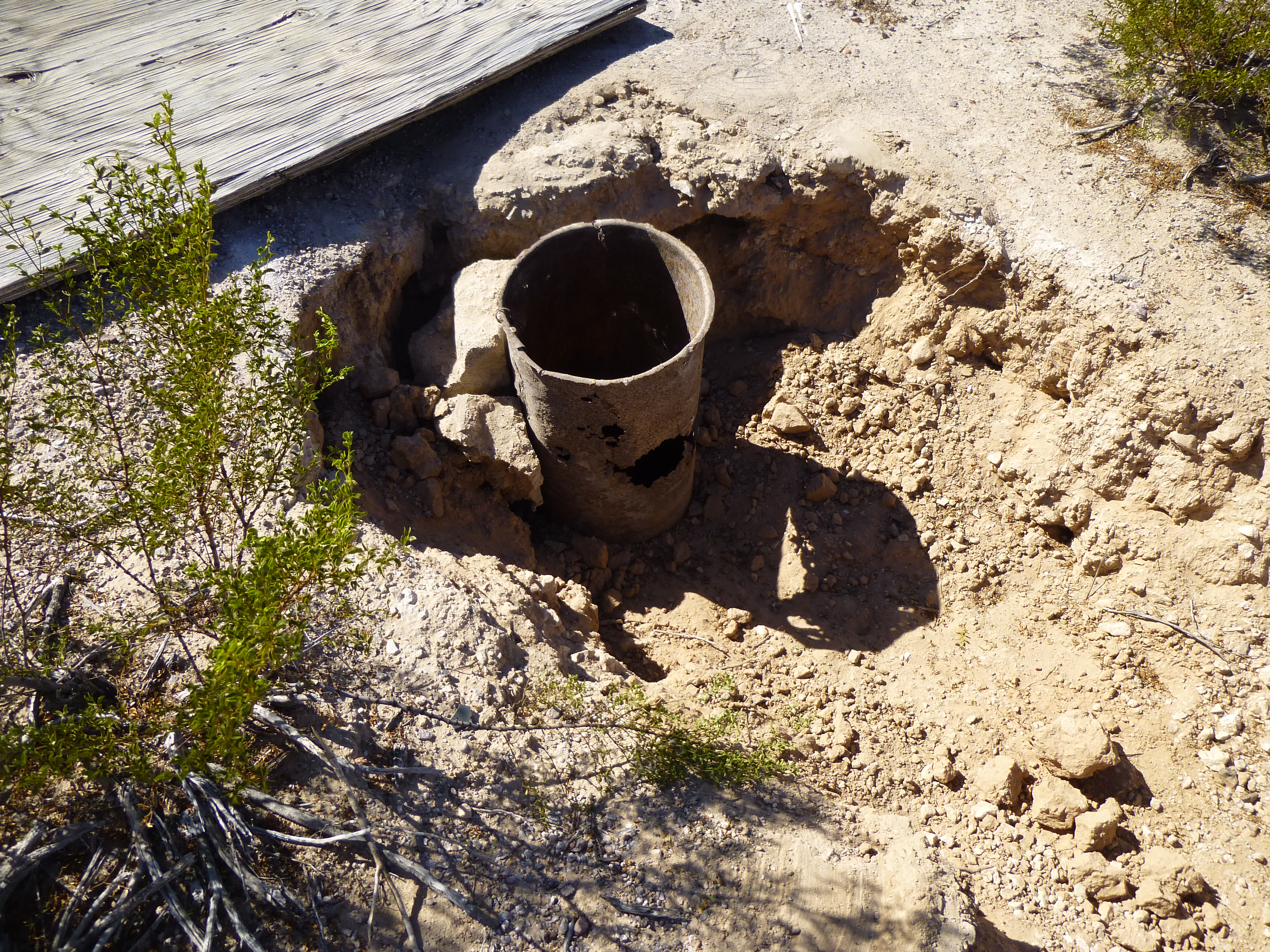
The pipe
God help anyone crossing the desert, hoping to find water here. Somehow I expected to find a windmill, a tank, anything but a dry hole in the ground. After pulling the plywood back into place, I moved on.
The only person I knew who had been beyond this point was my climber friend Andy. The map labels the road as 4WD, meaning four-wheel-drive, and usually that means things will deteriorate quickly. He had told me that the farther he went, the harder it became to follow the road. As I motored along, things were going pretty well – a few minor washes to go through, and some really nice hillsides along the route – and four miles later, I reached the point where the road ended on the map. This was where it entered a wide, sandy wash. I had to do a bunch of looking around to find where it continued up the opposite bank. There were some challenging spots, such as this one, but I eventually picked it up on the other side.

A waterfall spanning the wash
It was decision time. There were two groups of three peaks which I hoped to climb this weekend – I was close to one of them right now without trying to go farther; the other group of three would require a lot more driving on ever-worsening roads. It was late enough in the day that I couldn’t climb anything before sunset, but I could use the remaining daylight to great advantage to try to follow the old roads to their end, and if I could do that, I’d be perfectly situated to climb the most remote peaks tomorrow. I made my decision – I’d keep driving today and try for the farthest ones first.
No map shows the continuation of the road beyond this wash, but careful research of satellite photos had shown a faint track did indeed go farther. Andy had mentioned that somewhere past this point, the road was so sketchy in places that he lost it, and had to get out of his truck and walk ahead to pick it up again. I was wary of what I might find, but I still had daylight on my side. For several miles, the old track was surprisingly easy to follow south. It crossed a tortured country of gullies, gentle ridges and small hills, following the path of least resistance. I kept it in 4WD and needed it a few times, but by 4:30 or so, I reached another milestone, a road continuing to the east. This one was shown on old maps, so I hoped it’d be decent, but after a mile, it went to hell in a handbasket. It dropped into sandy washes, cut across hillsides and was just plain hard to follow much of the time. It didn’t appear to have been driven in a long while, and I too had to get out and poke around in places to see where, or even if, it continued.
By dint of persistence, and much to my amazement, I finally reached the very end of the road at just over 2,000 feet elevation. I felt pretty smug – I’d been able to drive to the road’s end. Andy hadn’t, but to put things in perspective, he had played against a stacked deck the day he’d come in. For his visit 6 months earlier, he’d had a late start, it was a hundred degrees in the shade, he wanted to climb something new (he ended up doing two first ascents), then had to drive all the way back out in the dark and meet me and Jake a hundred miles away at a remote camping spot. In retrospect, it’s amazing he was able to do what he did, and he certainly didn’t have the luxury of time to spend a lot of it looking for the road. In fact, to do his climbs, he had a couple of extra miles to walk in that I was able to drive.
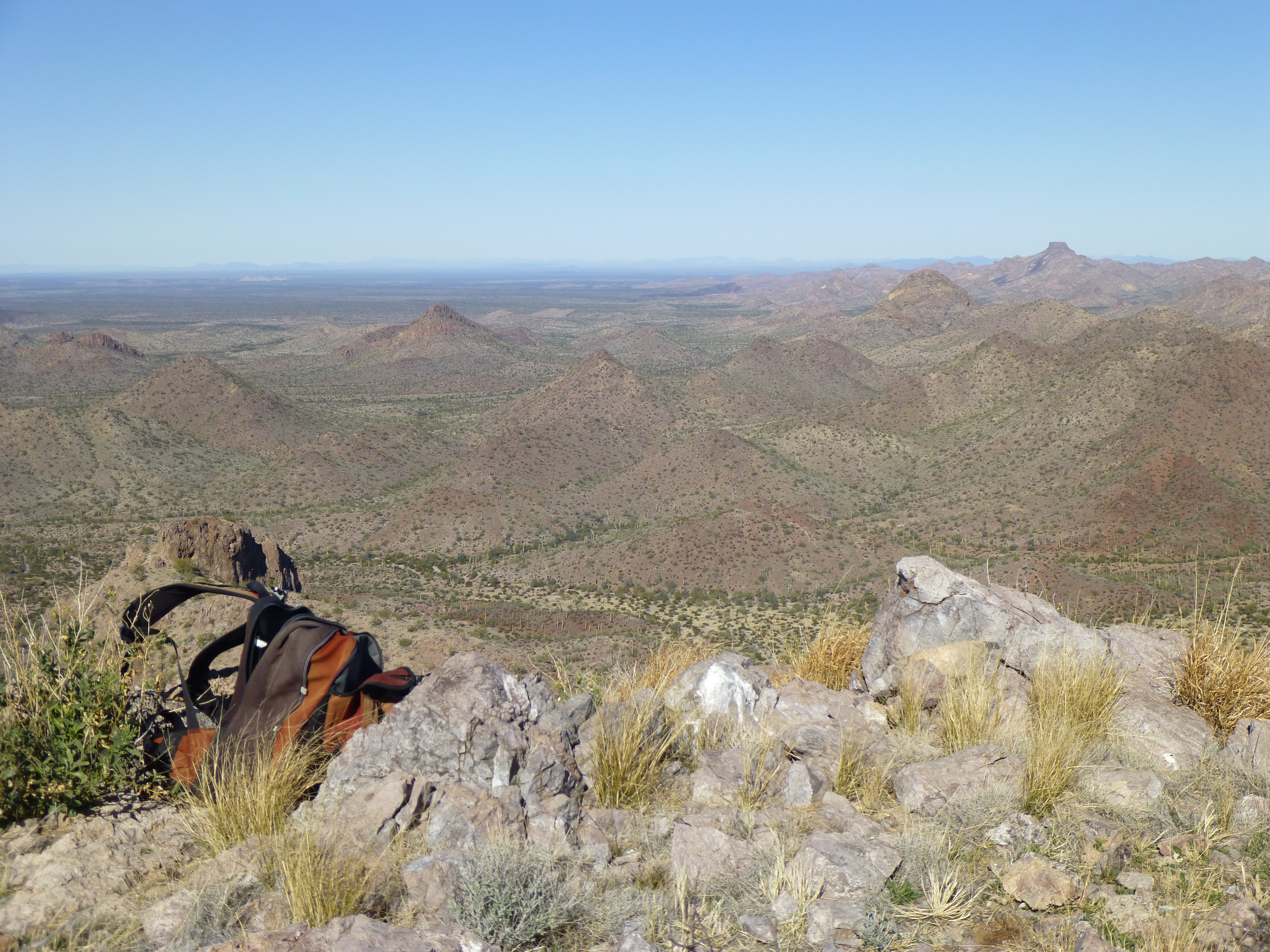
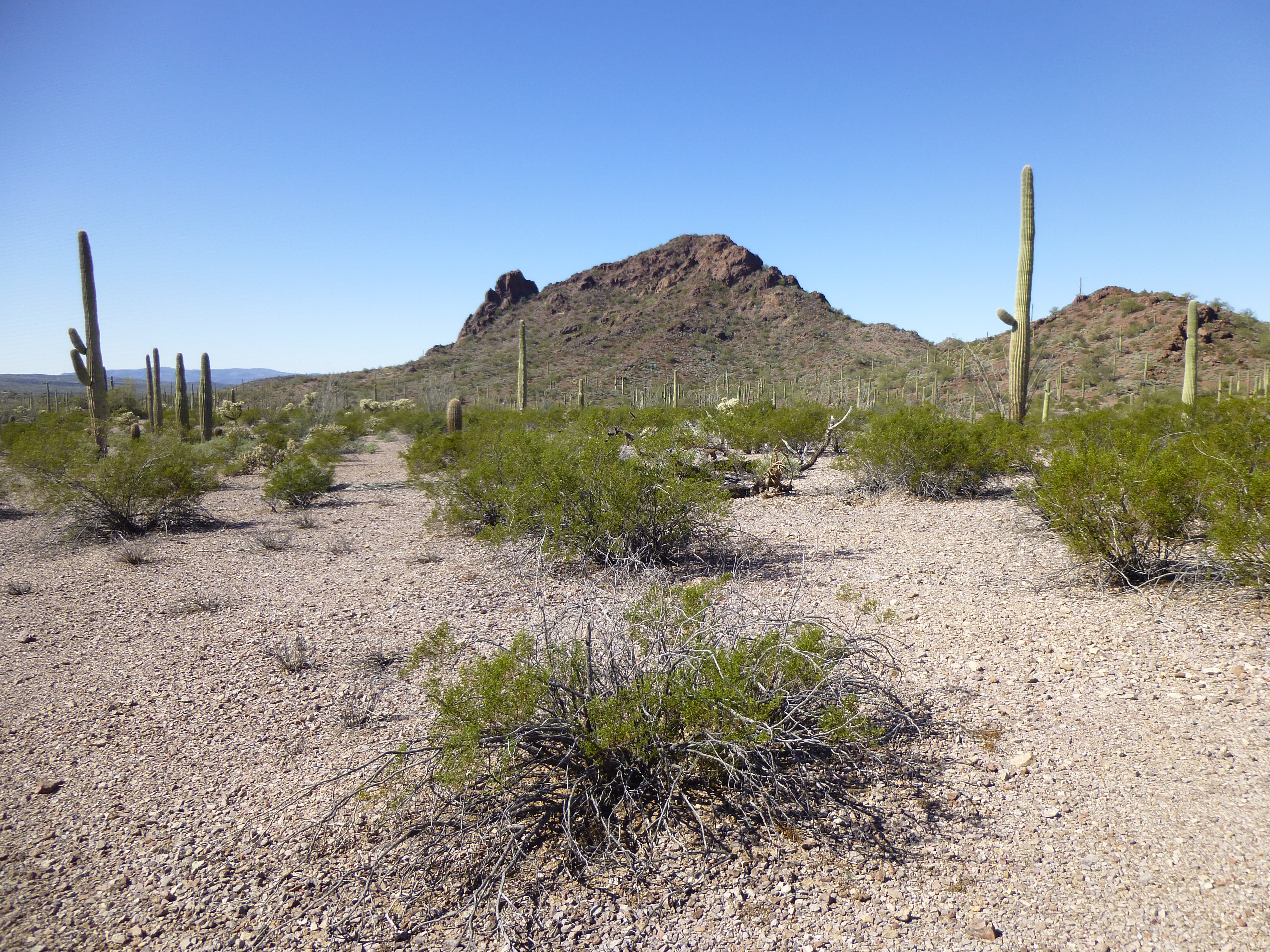
I even had enough daylight left to cook up a pot of noodles on my tailgate while admiring this view farther south into the Sauceda Mountains.
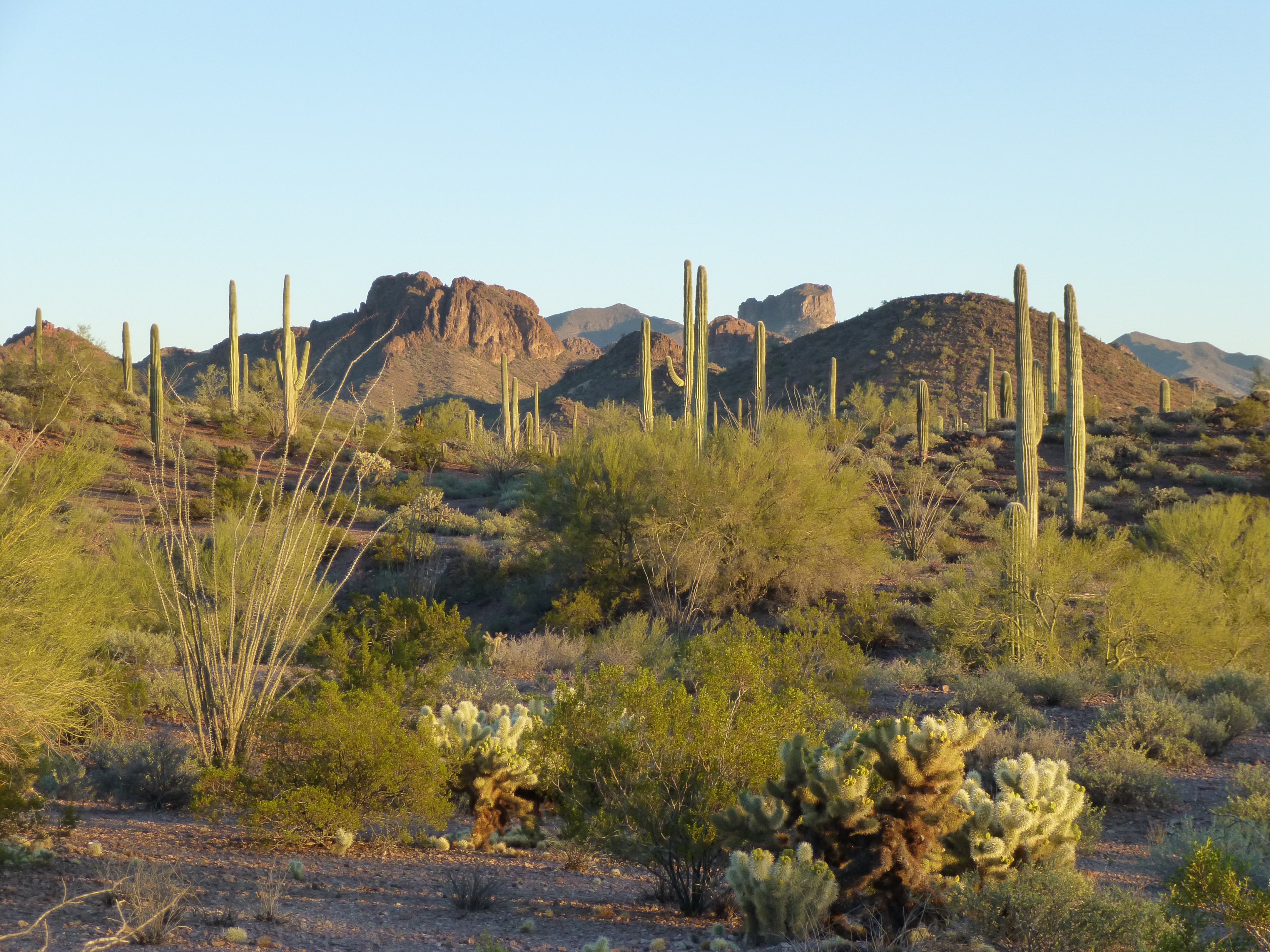
The southern Saucedas
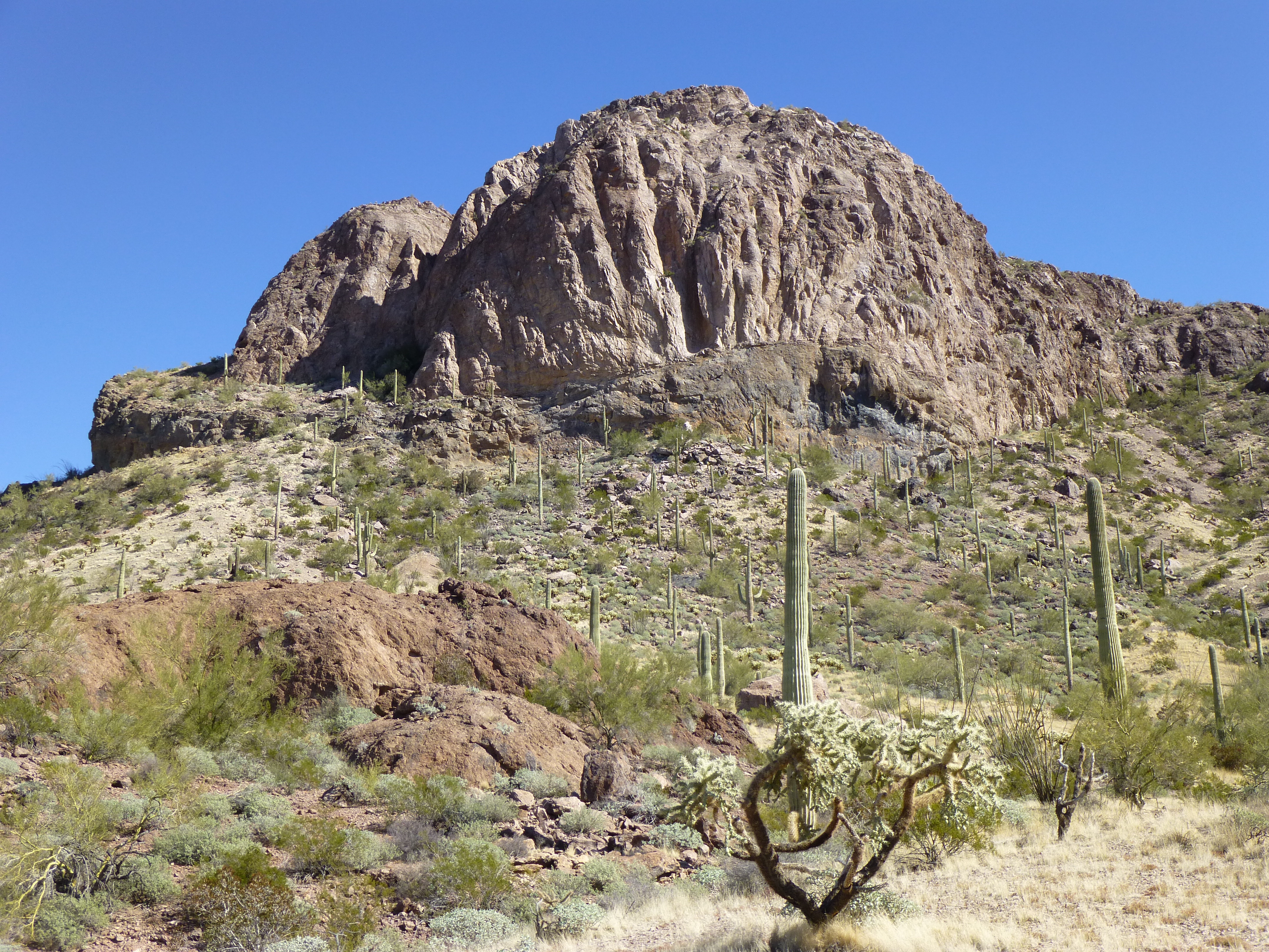
A short distance away sat one of the peaks I’d try to climb tomorrow.
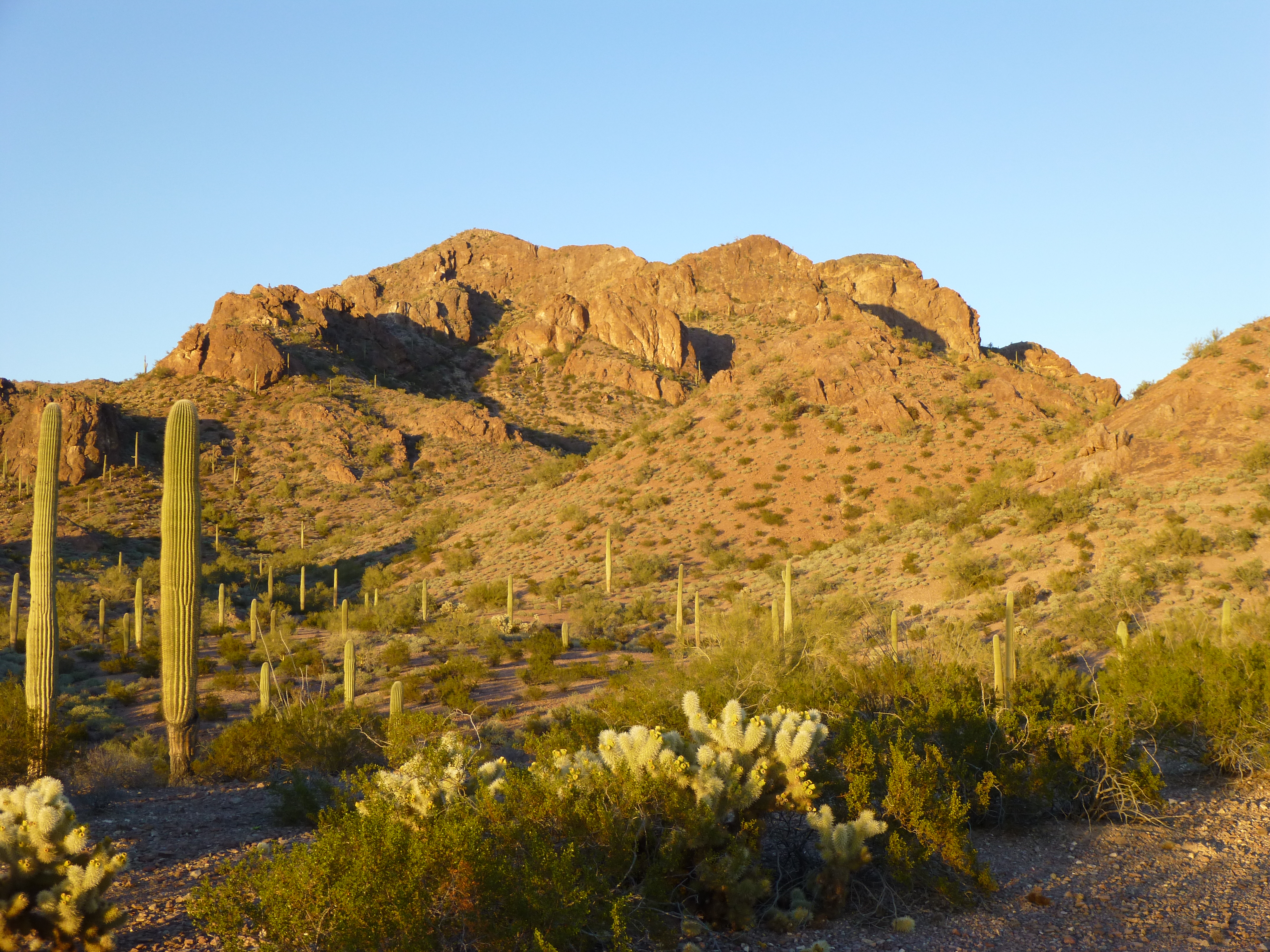
Looking northeast to Peak 2835, the highest of the 16 peaks in the quad
I was treated to this great sunset view of silhouetted ocotillos by my camp.
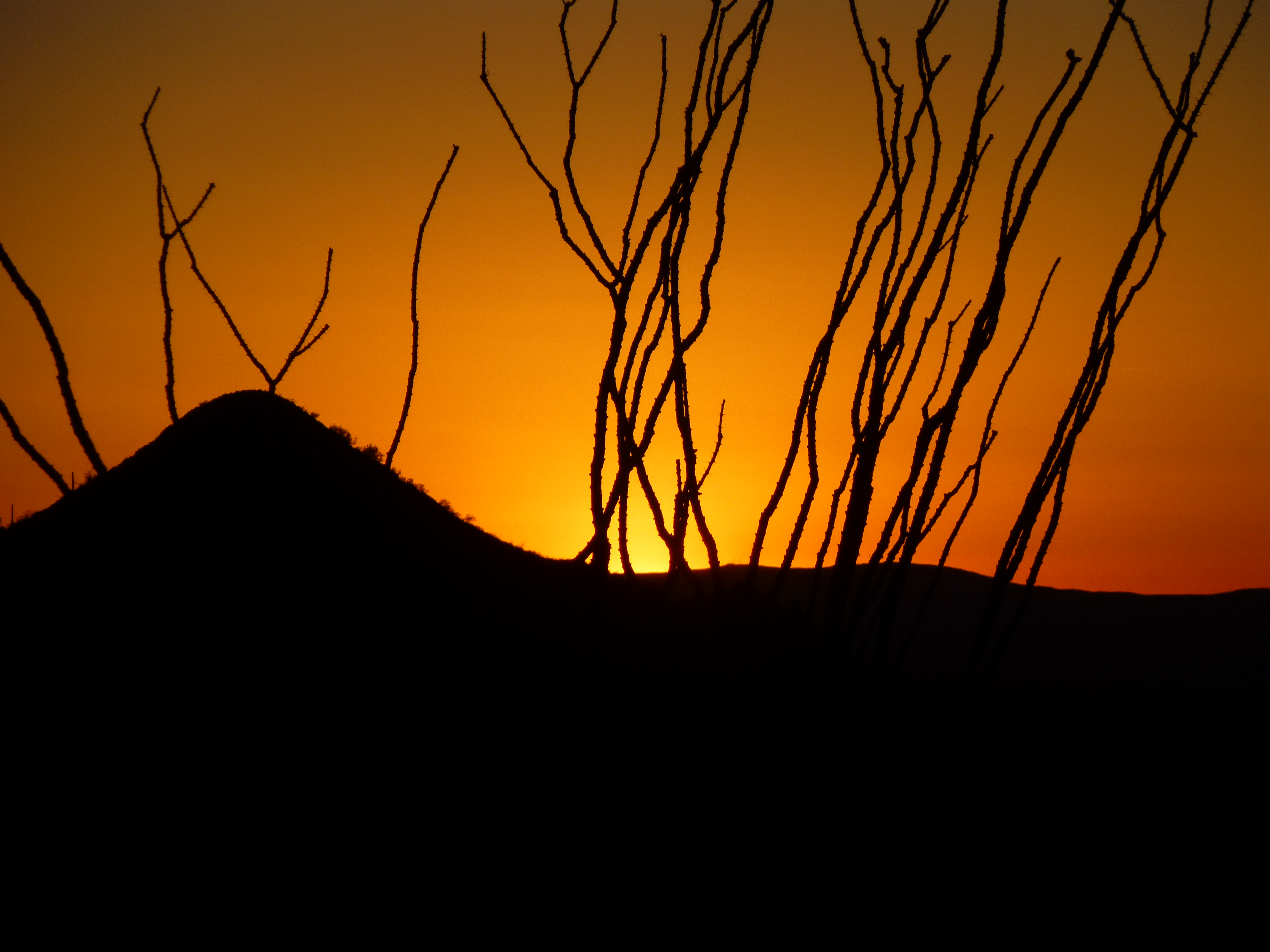
Ocotillos
Lordy, how the wind blew in the night! The next morning at first light as I set out, I was wearing three layers against the cold. Walking briskly through a series of gullies got my circulation going, and when I stopped for a breather at a saddle, I had this sunrise view back to the distant Batamote Mountains.
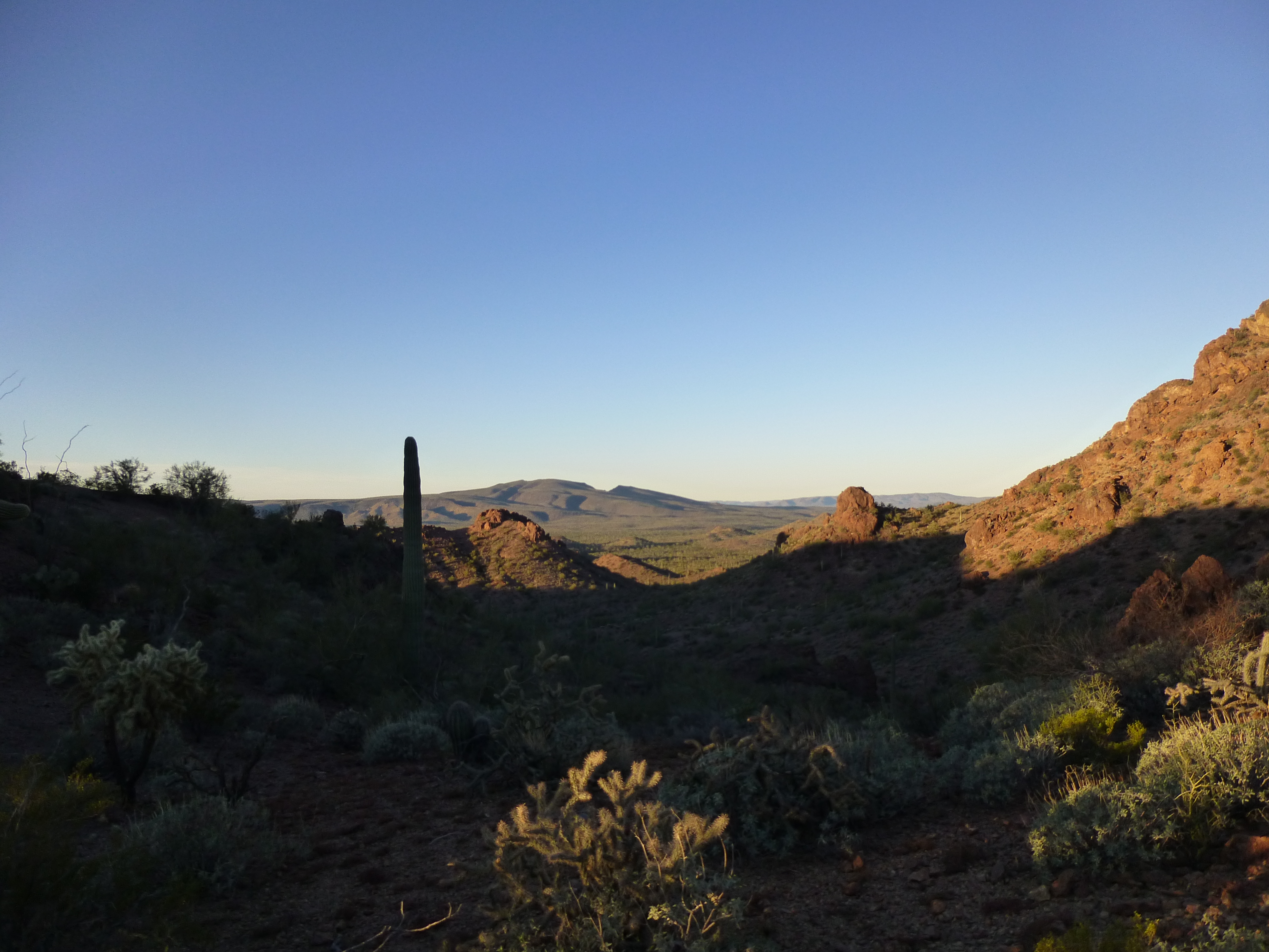
Sunrise
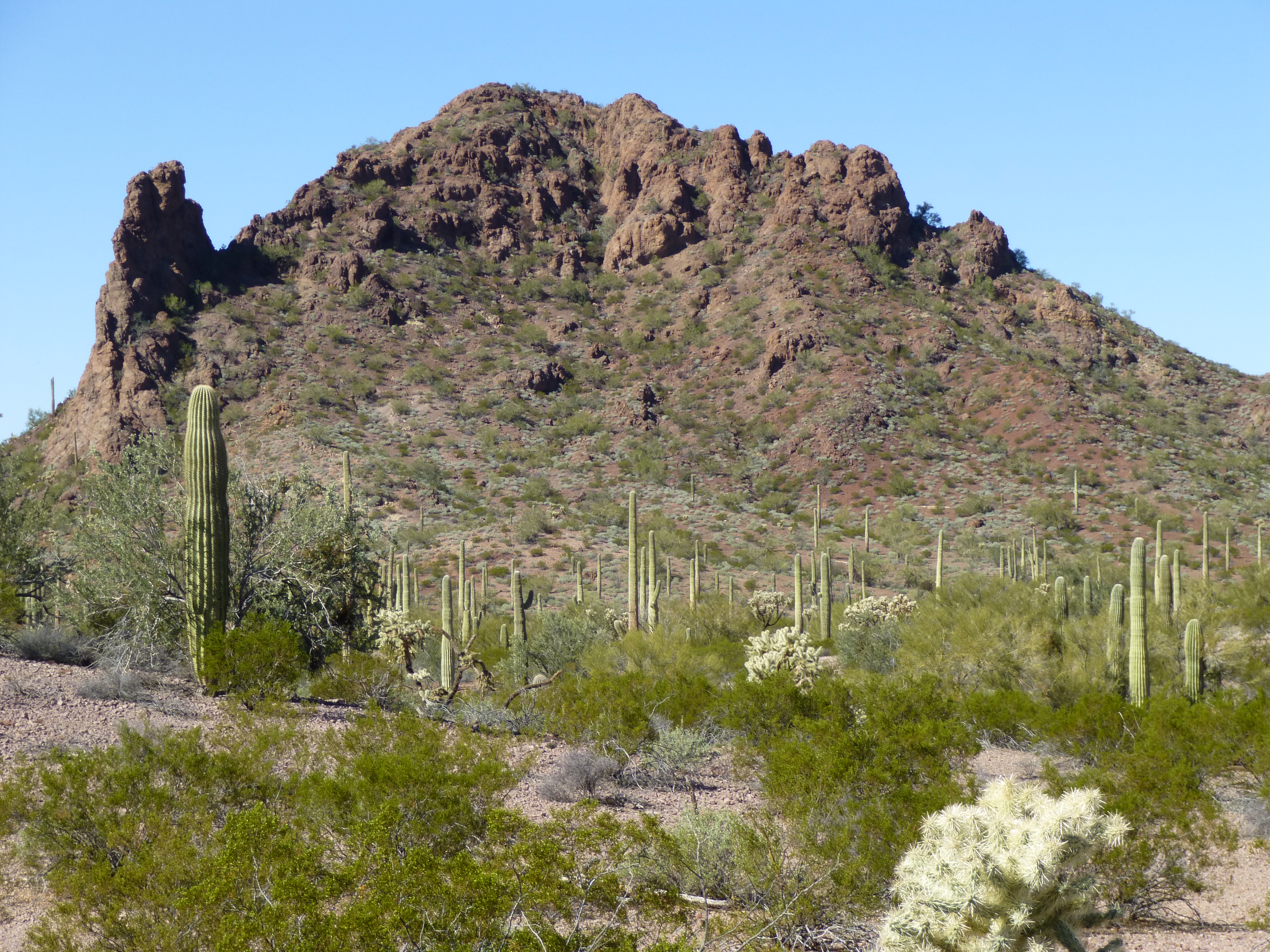
Where I was heading at this early hour was Peak 2651. Last year, Andy had espied this one and alerted me to its sheer west face, saying I’d need to find some other way up. As usual, he was right – I had to spend a bit of time outflanking the tricky bits on the south side, but before too long I stood on top. There was no sign of any previous visit – no cairn, no register, no trash, nothing but the way nature had made it. An unspoiled virgin summit which I knew I’d better enjoy, as the next two for today had been climbed by Andy six months earlier. Don’t get me wrong, I was looking forward to them too, but this one felt just a bit more special. As I looked northwest, I had this view of Hat Mountain, the flat one on the far left in the distance; just to its right is the more reddish cone of Peak 2768; the long flat-topped one on the right is Peak 2786.
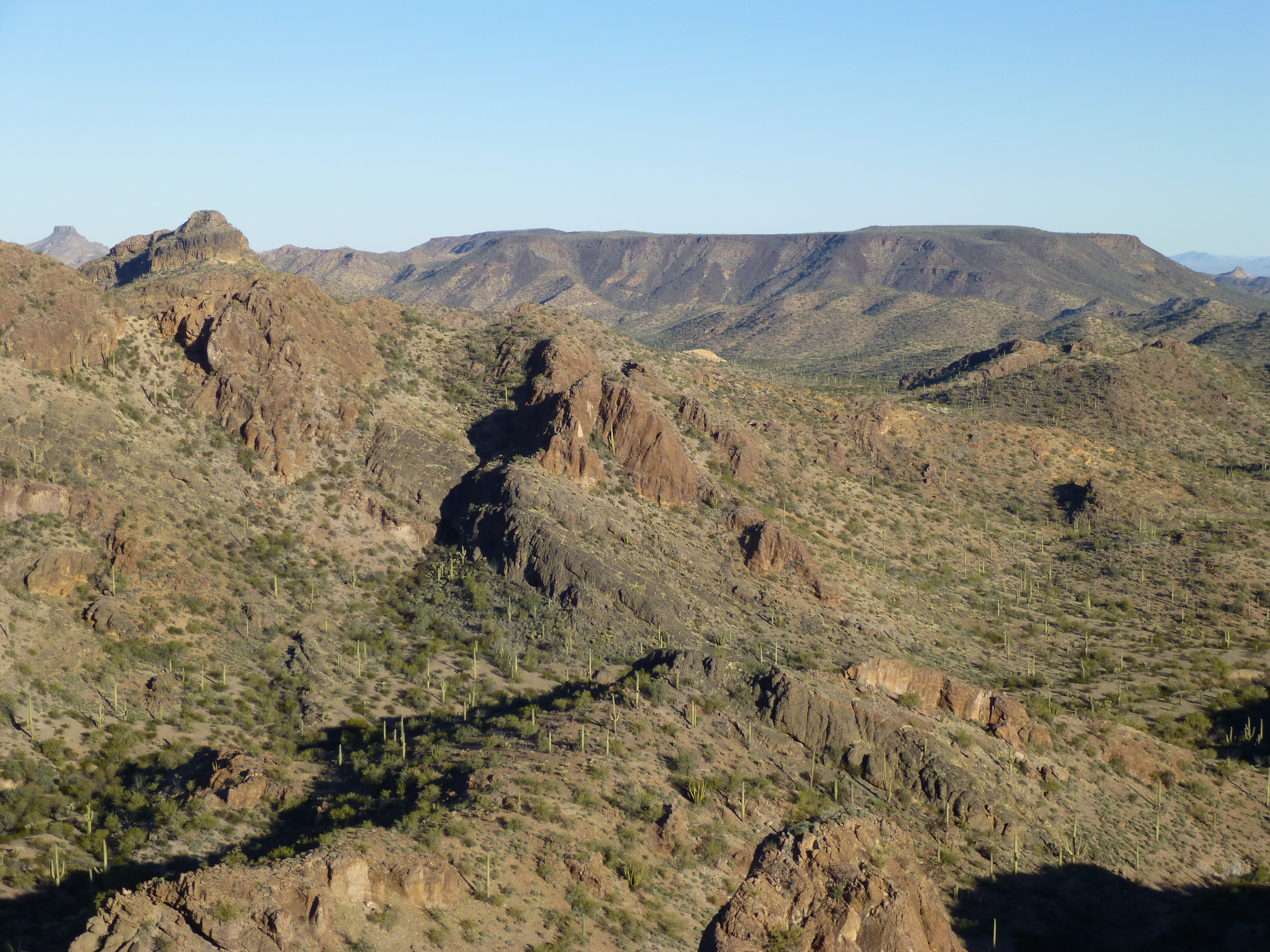
Northwest from Peak 2651
Thinking I’d get down by a different route, I bailed off the north side and eventually made my way to a wide drainage farther west. Normally, I prefer traveling on ridges as opposed to using washes, but today this wash felt good. In a short while I came to an area where there was a lot of exposed bedrock on the floor of the wash, and I began to see a few tinajas, natural depressions in the rock that could hold water after a rain. There were a dozen or so, none of them able to hold more than maybe ten gallons. My first thought was that this would be an attractive area for smugglers, a place where they could replenish their water supply, and then I spotted this in one of the basins.
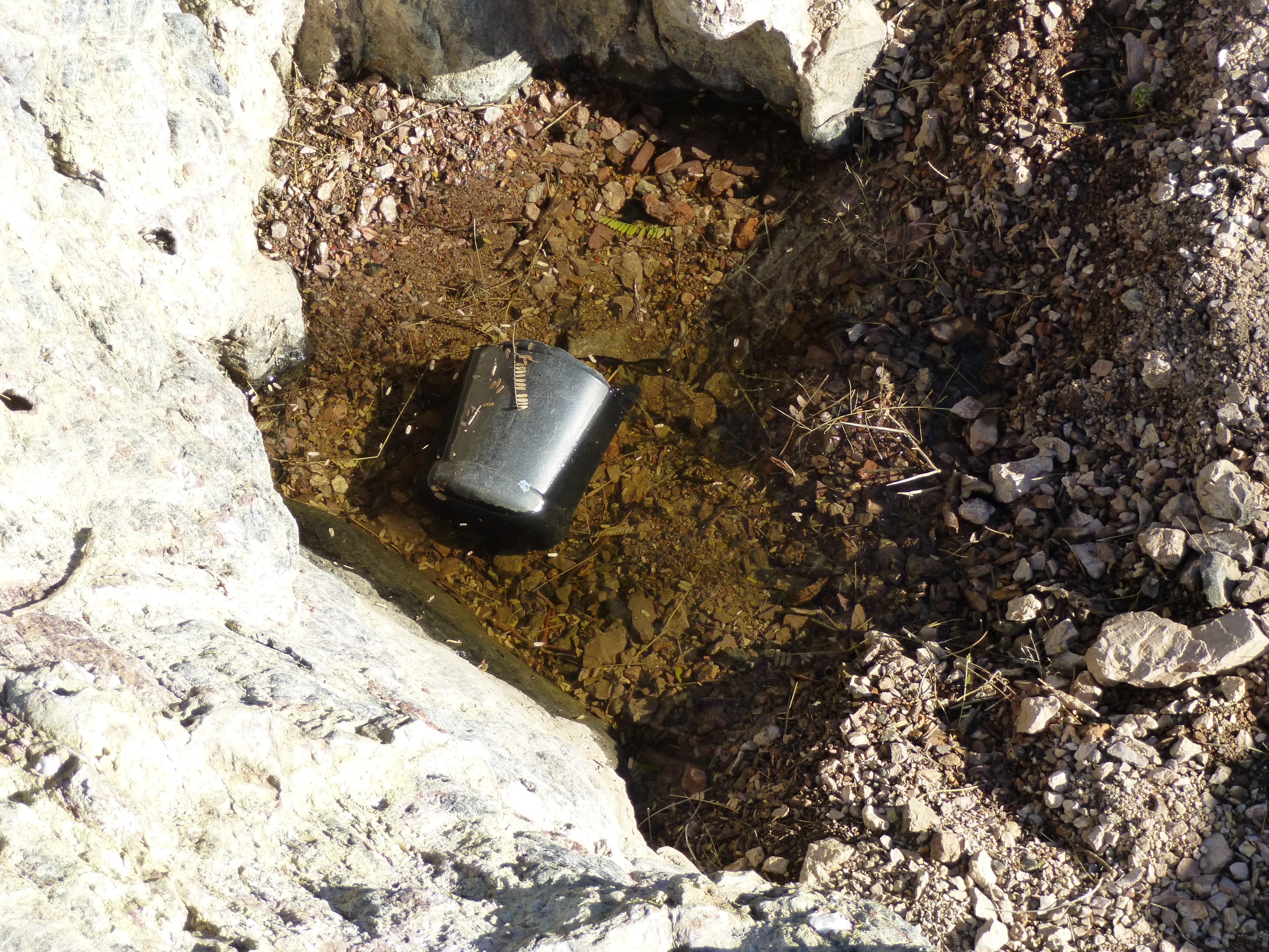
Mexican water jug in the tinaja
It was one of the black water jugs commonly used by those coming up from Mexico, cut off to serve as a vessel for scooping up water. Right then, I became more vigilant, and my suspicions proved correct, because not a hundred yards away, I came upon an encampment under the trees. It was littered with all manner of trash, obviously a place where people rested for a while or even over-night. Fortunately no one was there at the time, or things could have gotten awkward in a hurry.
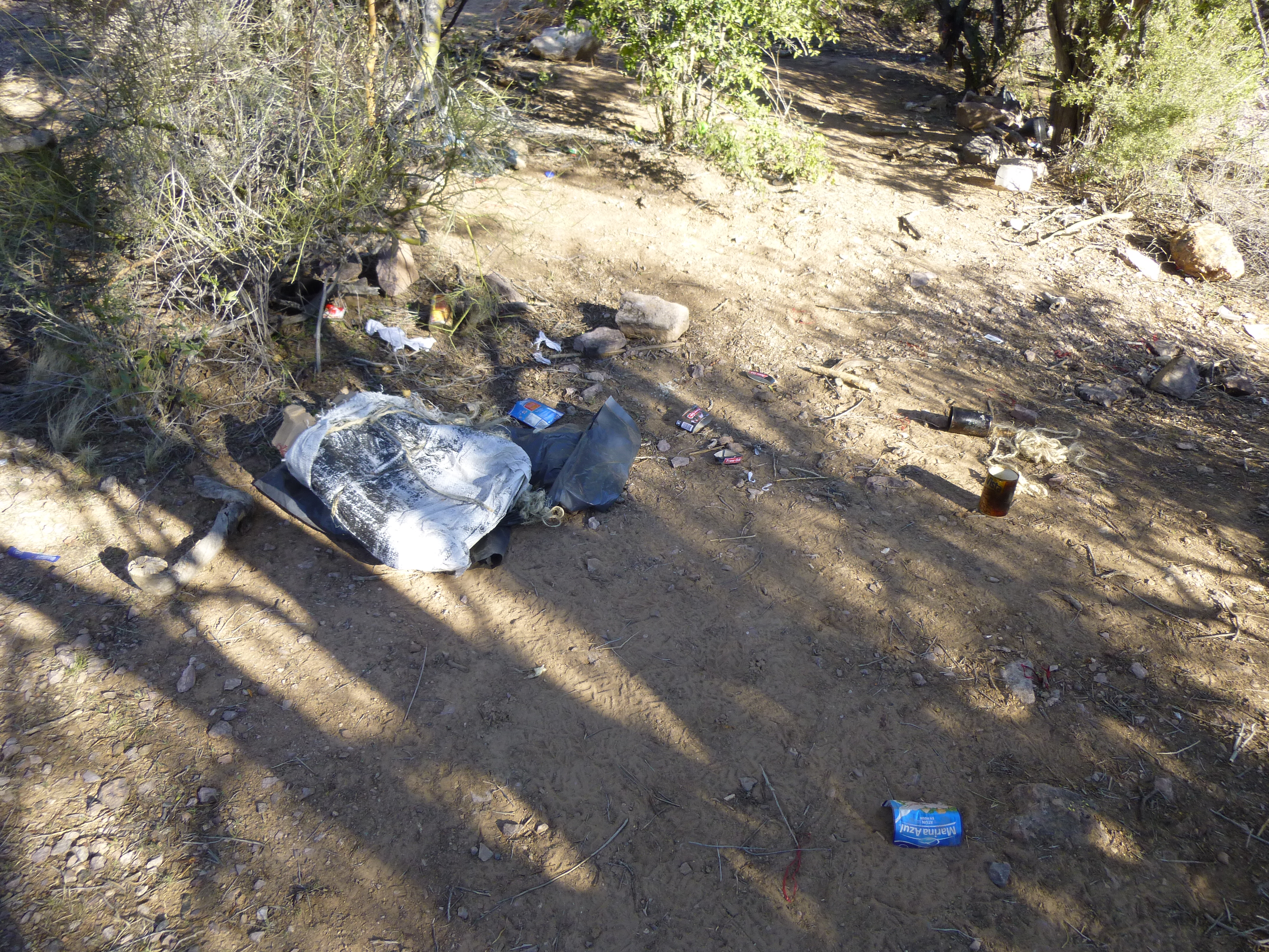
The smugglers’ camp
Never one to hang around such places, I continued up the wash, gaining elevation as I went. It was the perfect conduit to the top of Peak 2835 where I arrived just after 10:00 AM. True to form, Andy had left a register for me to sign in to, and I did. This is a nice peak, towering almost 800 feet above its surroundings, the highest one on its topographic quad. I have a feeling it could be a very long time until it receives its next visitor.
On the summit of Peak 2835
To stay on track, three peaks would need to be climbed today. Two were now done, so how to do the third? I could make my way down to the south and return to my truck, then drive part of the way back out the way I’d come in yesterday, park and head off cross-country to the third peak. Or, I could see a lot more country and descend to the north and eventually reach the third. The latter seemed the better choice, as I could explore more of the beautiful area.
It was easy enough to drop down a couple of hundred feet, and that put me on a ridge which seemed to be guarded by steep cliffs on most sides. My thought was to try to drop down a steep gully choked with brush in the hope it’d lead to the easier canyon below. Hmm, more easily said than done. Any mountaineer can tell you that when descending an unknown gully, you try to unlock the puzzle one piece at a time, pushing the route bit by bit, hoping it’ll go. I got lucky – after a high-quality bushwhack, I thrashed my way on to the only-slightly-less-brushy canyon bottom and breathed a sigh of relief. It was now just a matter of winding my way down to flatter country to the north. The next photo shows my route down the gully by the dashed yellow line (where the route is hidden from view) and then down the easier wash (solid line). Where the yellow line leaves the right side of the photo is 650 vertical feet below the mountain-top where I’m standing.
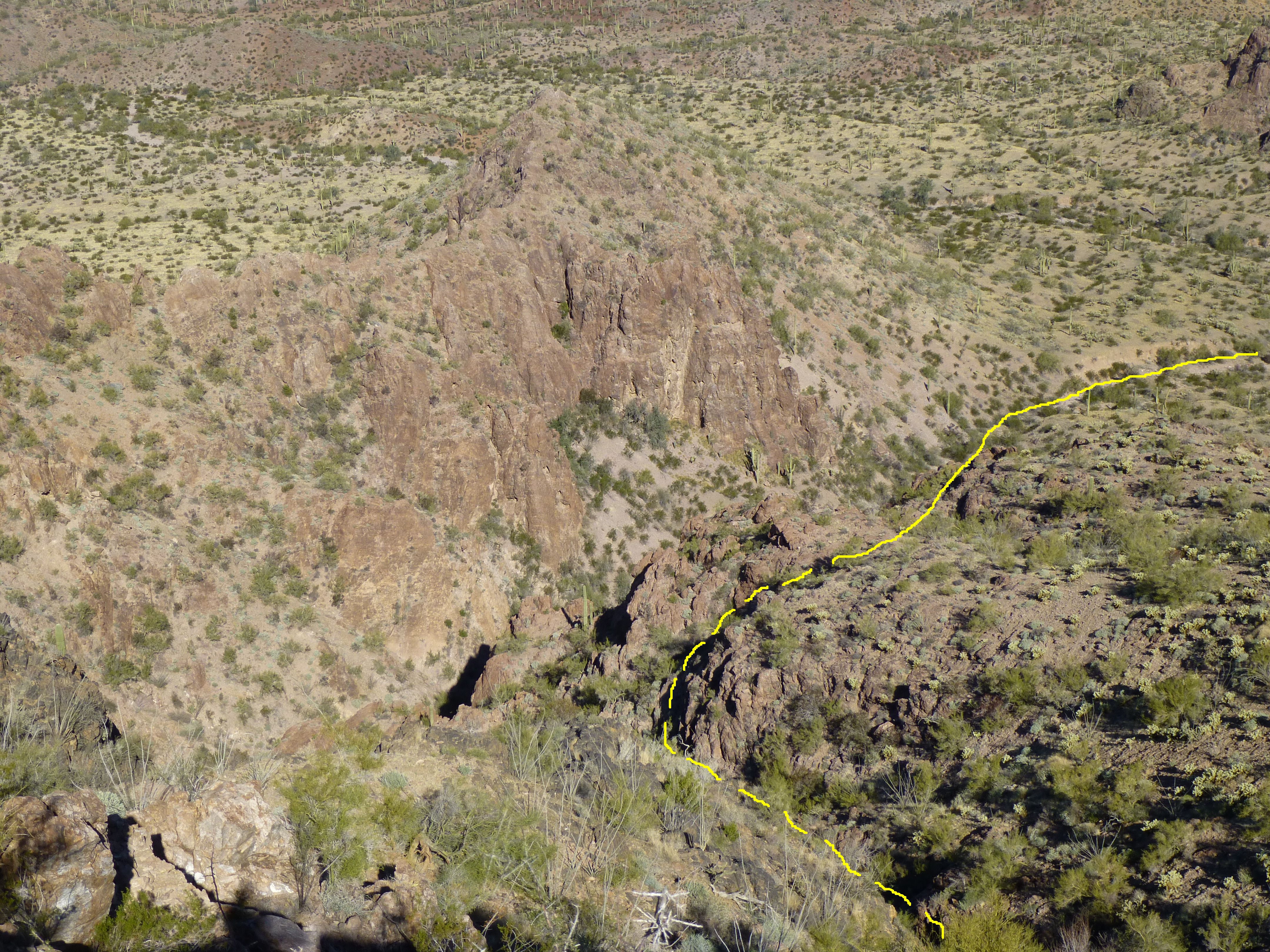
The route down from Peak 2835
Here’s a view looking back up the very brushy steep canyon which I descended.
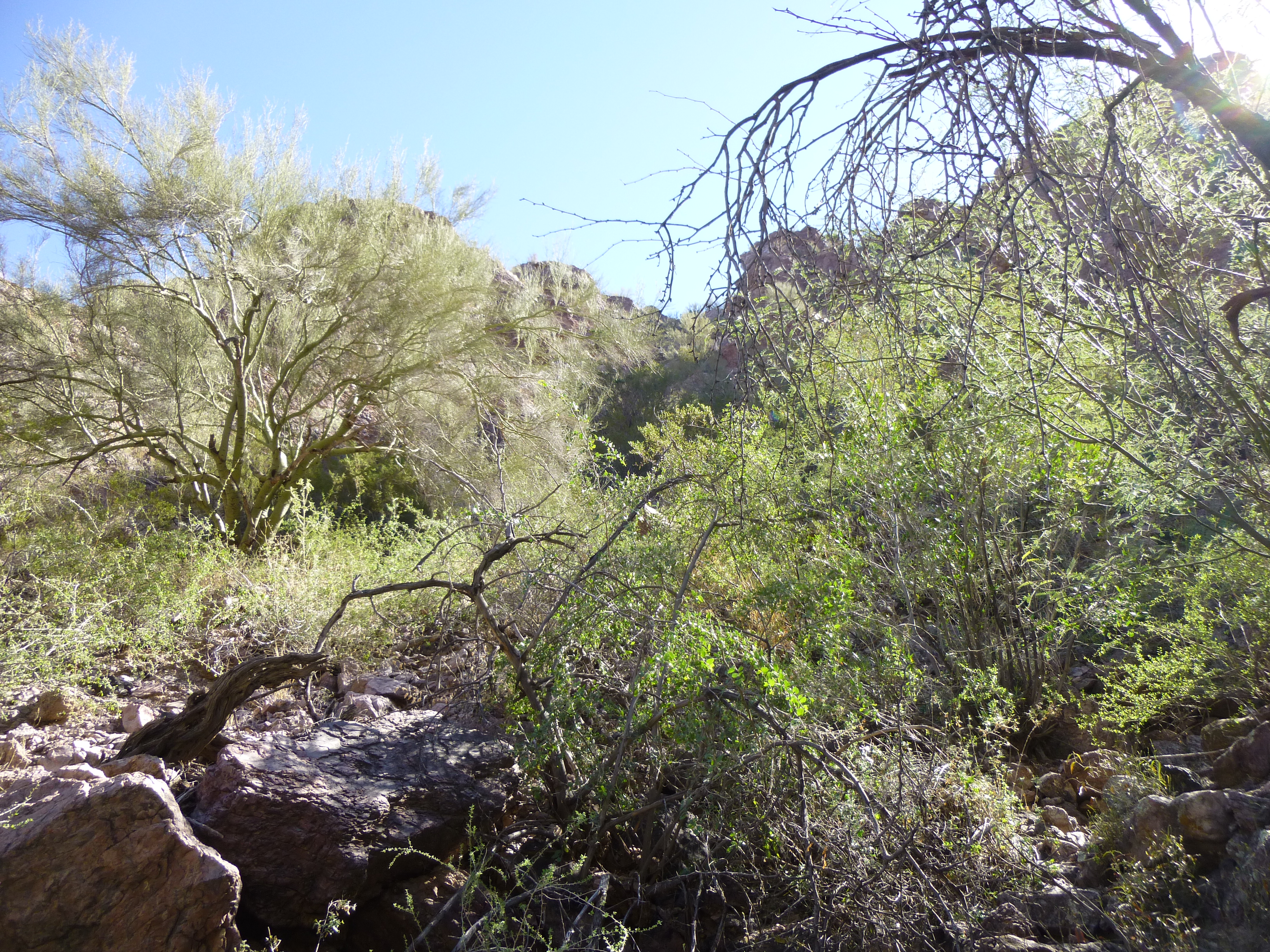
Looking back up the brushy gully
The scenery did not disappoint. Unusual rock formations greeted me around every bend, and I loved my stroll down the wash.
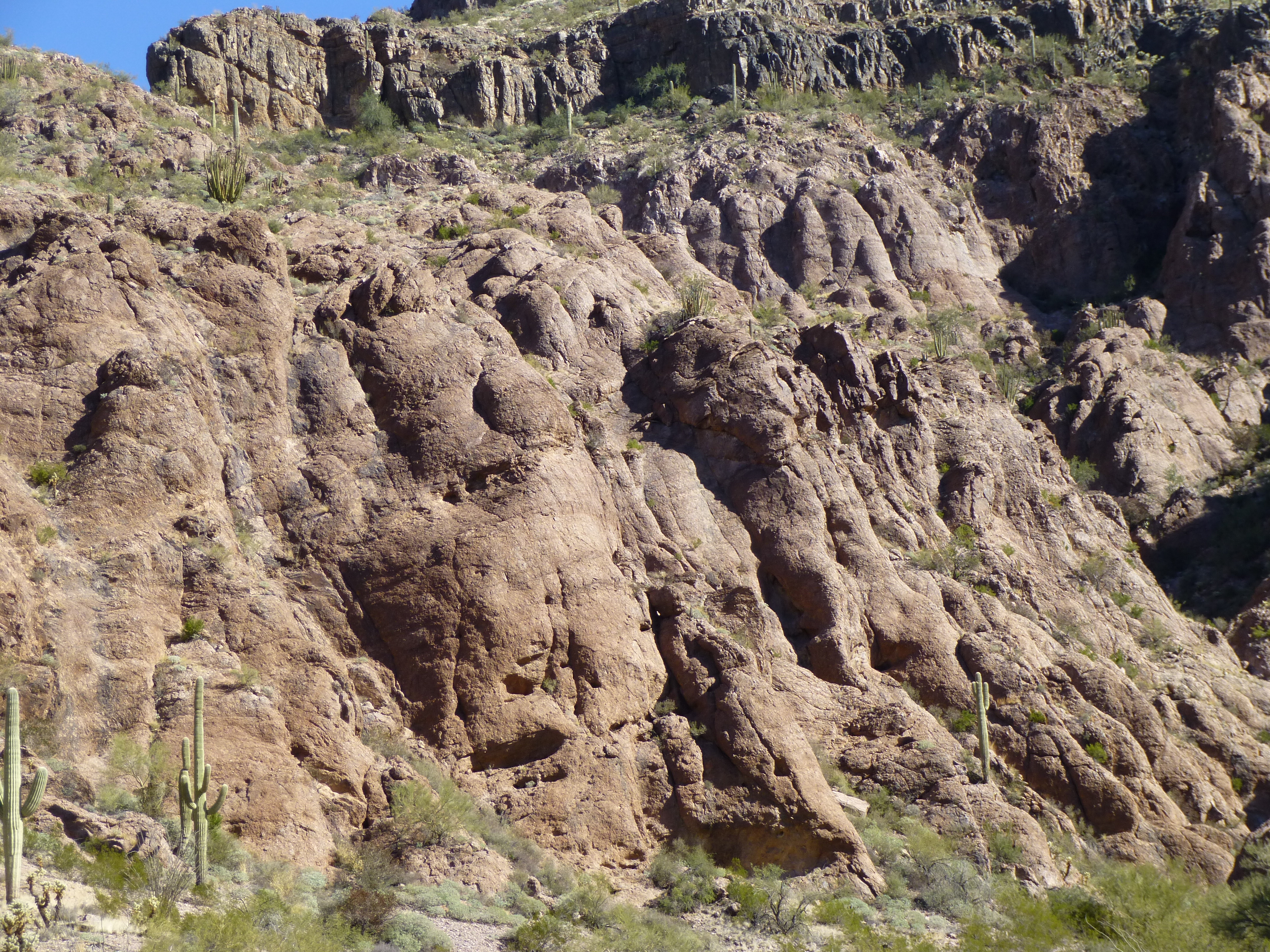
Strange rock formation
Washes can make for easy travel, and this one certainly did, but I knew I’d have to leave it and strike south for some distance to approach my next peak. As luck would have it, my travel was across the grain, in and out of lots of gullies, but that didn’t matter, I enjoyed every minute of it. This took me past Points 2283, 2380 and 2204.
Sauceda splendor
Finally, I reached a new drainage that came down off of the west side of Peak 2835 and followed it downstream, in short order arriving at the base of Peak 2316, my final one of the day. Andy hadn’t said anything specific about it, and it looked straightforward enough. The west side was a cliff, but fortunately I could scramble up the easier south ridge.
Looking west to Peak 2316
On the top, I quickly found the register and signed in. Naturally, no one had been there since Andy, and it could be a cold day in hell before anyone else stands on that summit. It was an amazing 70-degree day in this remote, untouched area and I hated to leave. However, I had to get back to my truck and move to a new camping spot miles away, so I dropped down the southeast side to the desert floor. Now all I had to do was finish up my day by heading back to my truck, less than a mile away.
The southeast side of Peak 2316
Instead of making a beeline directly for my truck by using my GPS, I decided to head for the road, then walk it to the truck. Mistake. Remember how I said that yesterday when I drove in to my campsite, the road was very faint in places? Well, I was so sure that I’d find the road by simply walking over to it that I never turned on my GPS – why would I possibly need to? How can you miss a road that runs at a right angle directly across your path, right? All you’d have to do is keep your eyes peeled. Well, Folks, the road was faint indeed, and I walked right over it without seeing a thing. That put me in a confusing area of endless bumps and gullies where everything looked the same. After a while, I started to wonder why it was taking so long to find the road. Finally, my curiosity got the best of me – I stopped and fired up the ol’ GPS and, much to my surprise, found I had passed the road almost a mile back. That was one faint road – Andy, how right you were! The faint impressions left by my tires had eluded me completely. I felt like a real idiot as I, GPS in hand, walked directly back to my truck without a hitch. Fortunately, it was only 2:30 PM. The most exciting part of my weekend was yet to come, but little did I know exactly what was in store.
Stay tuned for the conclusion of this story, to be posted as “Sauceda Six-Pack Part 2”.