
Dear Readers – in order to get the most from this story, please be sure you have already read the previous Parts 1 through 9 on this website.
Wednesday, January 16, 1991
Seadon and I left our room early and walked along the streets of the town, heading west. We’d been given directions how to reach a chairlift, but must’ve taken the wrong road. Eventually we did find a lift and climbed alongside it to its top. Here’s a view from lower down.
Looking north to the Martial Glacier
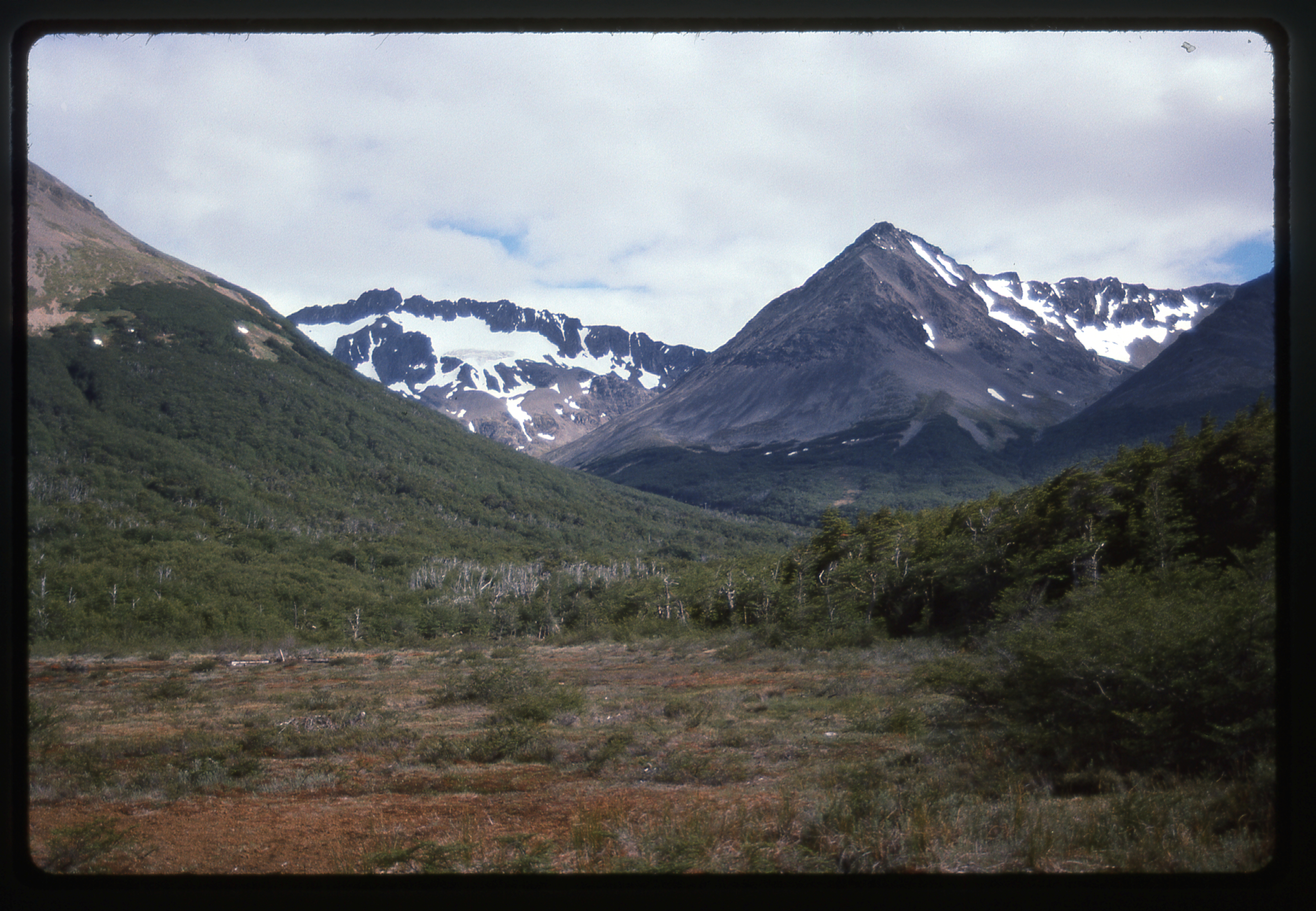
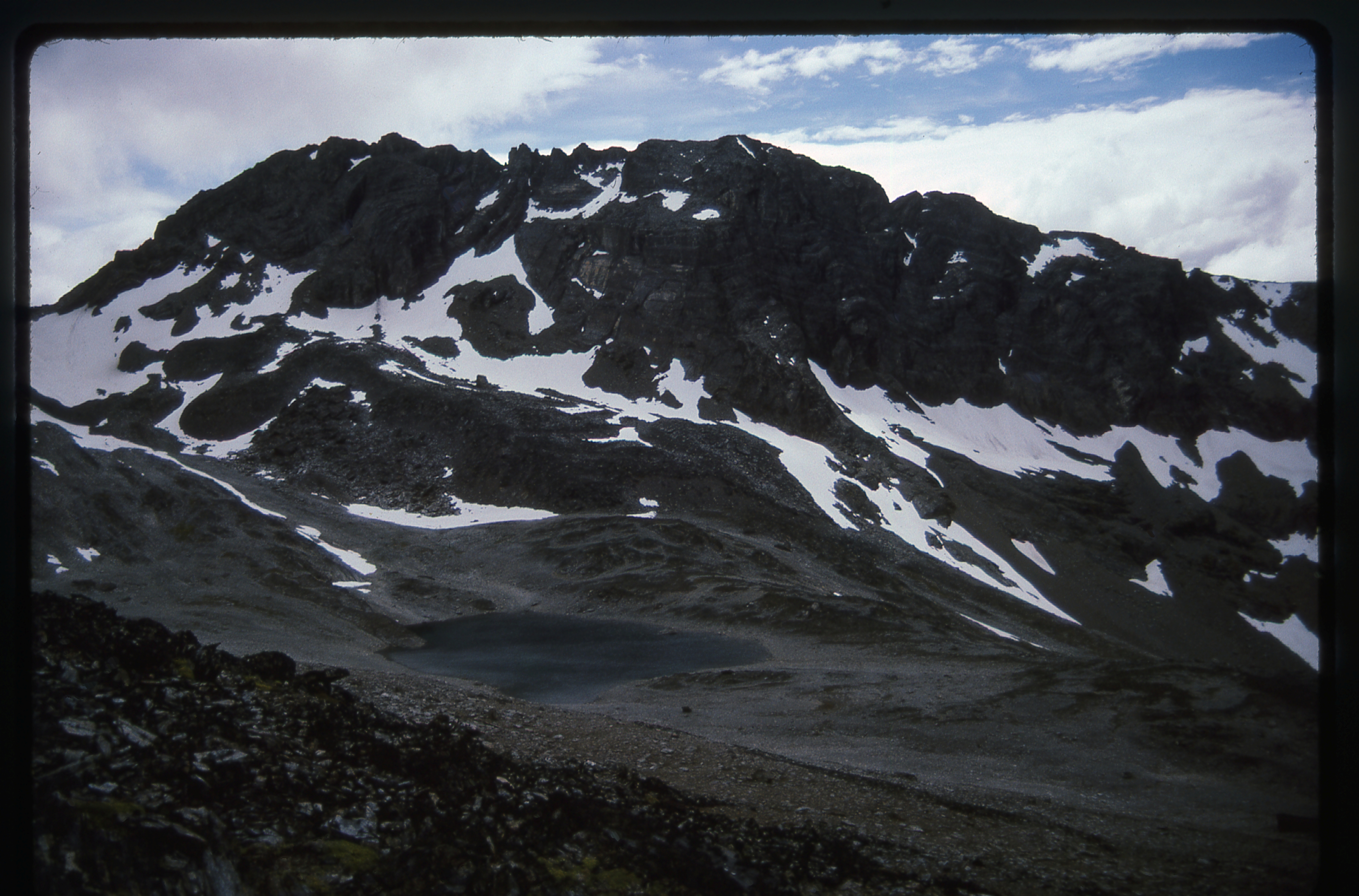
From there, we spotted a nice-looking peak and decided to go for it. It was the one on the left.
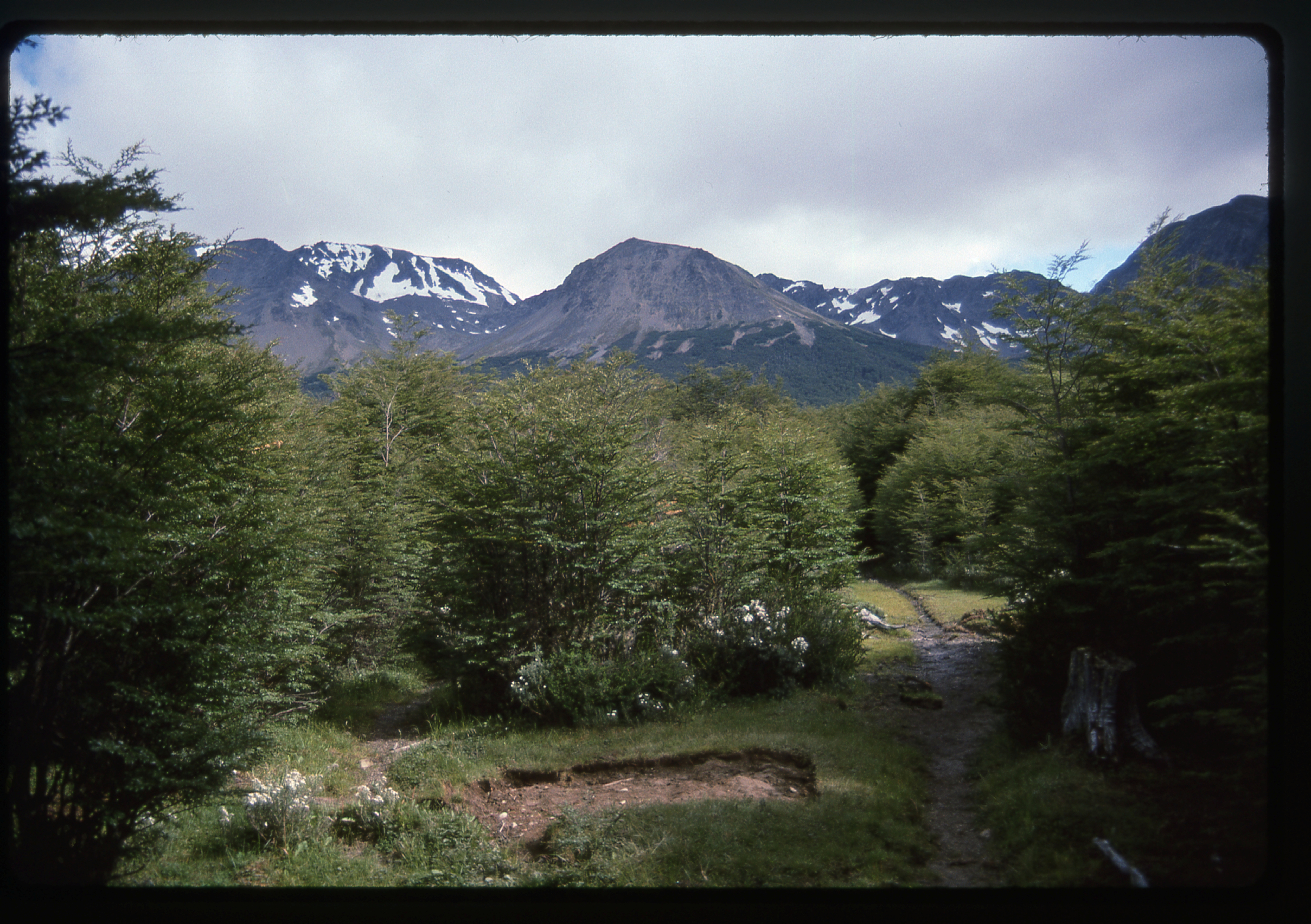
Here’s the view we had of our peak from down low.
The first order of business was to walk across a bog; After that was a bushwhack up through 500′ of bush, which was wet but otherwise not too bad. That put us above tree-line, and we stopped for lunch, where we had this good view east along Beagle Channel.
Looking east along Beagle Channel
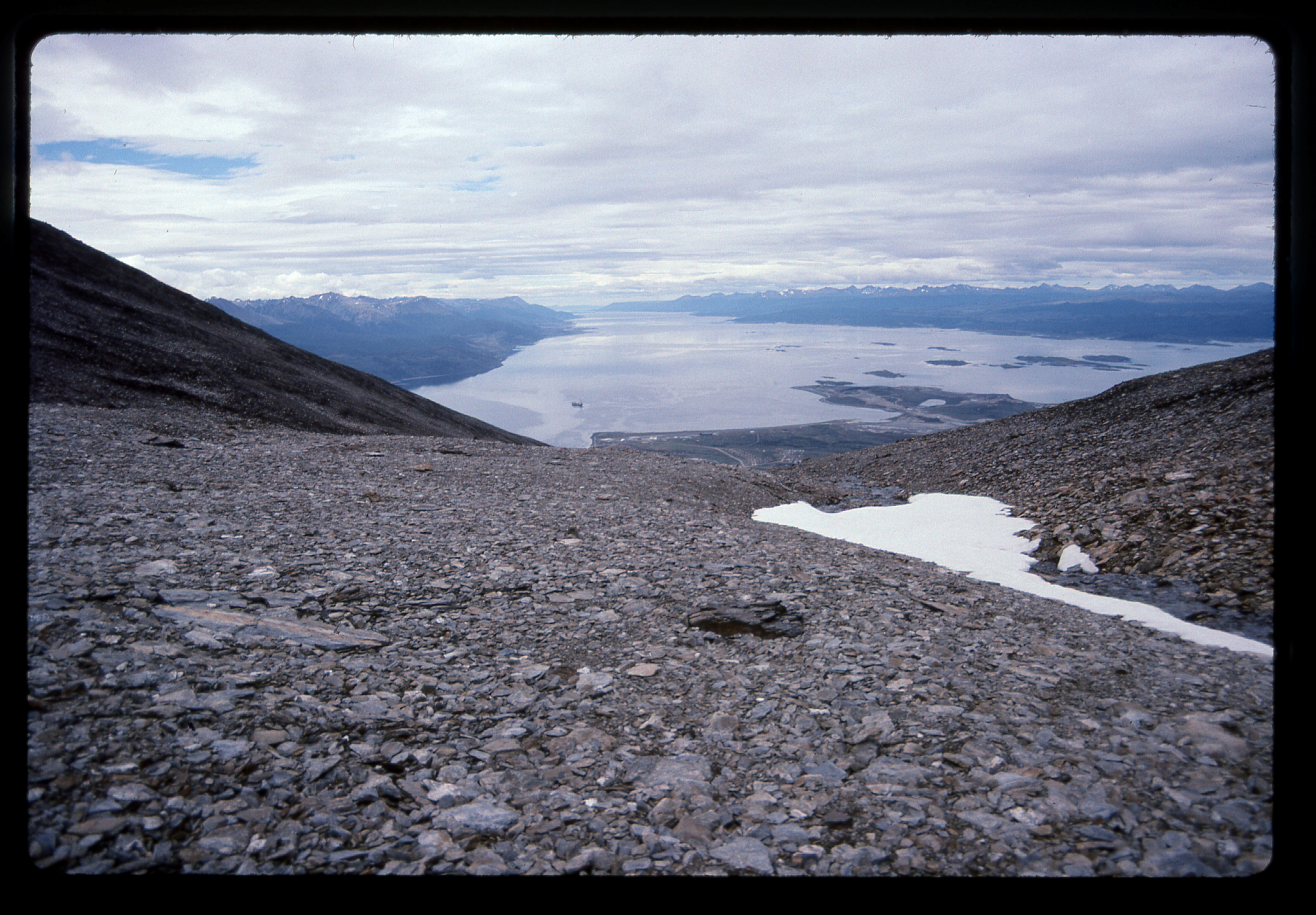
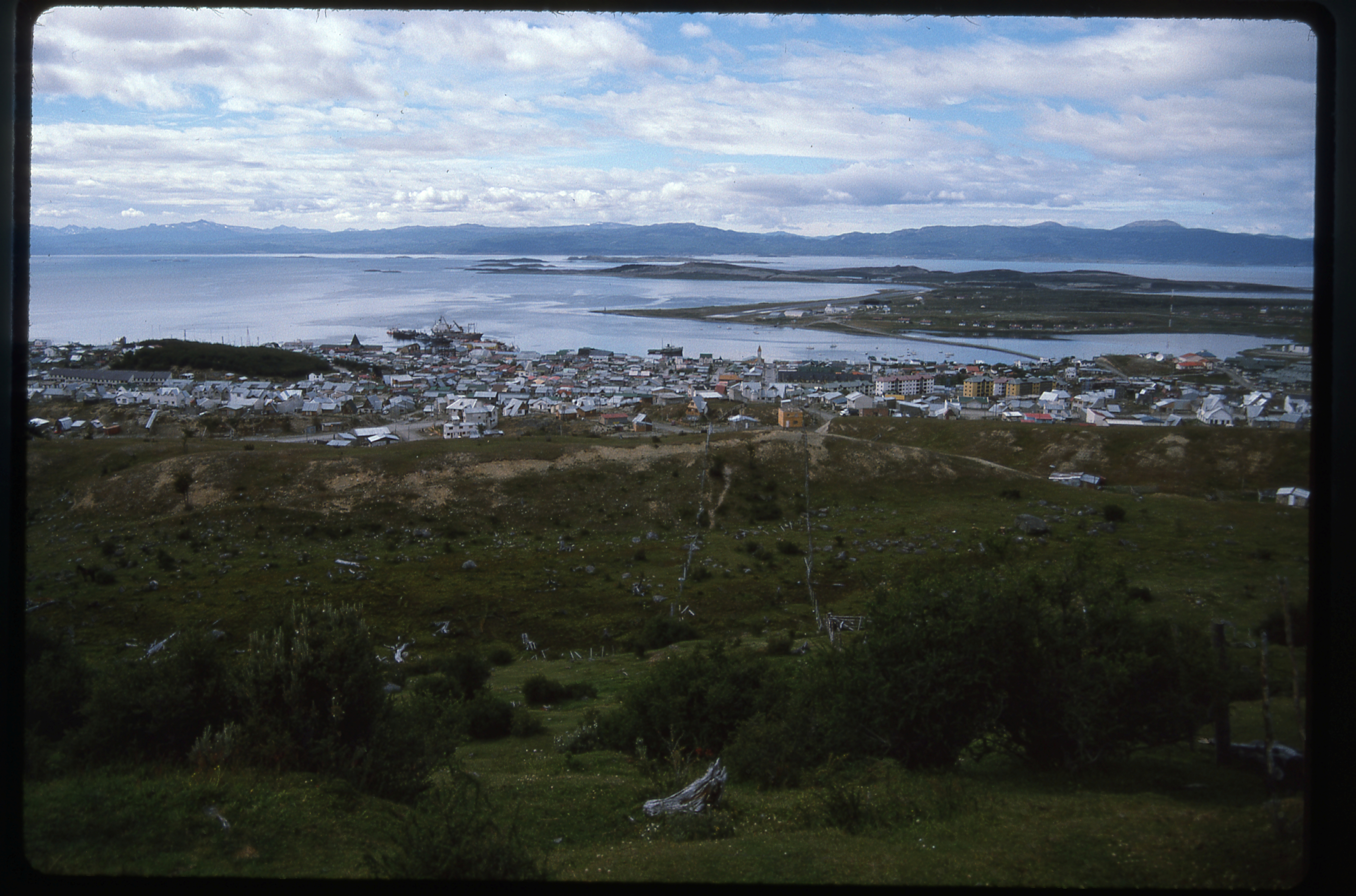
That done, we then kept climbing higher and higher through beautiful alpine country.The views got better with every step. Here is what we saw from an elevation of 4,000 feet.
Looking down to Ushuaia from 4,000 feet
By the time we reached the un-named summit at 4,500′, some clouds had built up, but there was still enough blue sky to make us optimistic about the rest of the day. There was no summit register in the traditional sense, but instead we found this proof that others had been there.
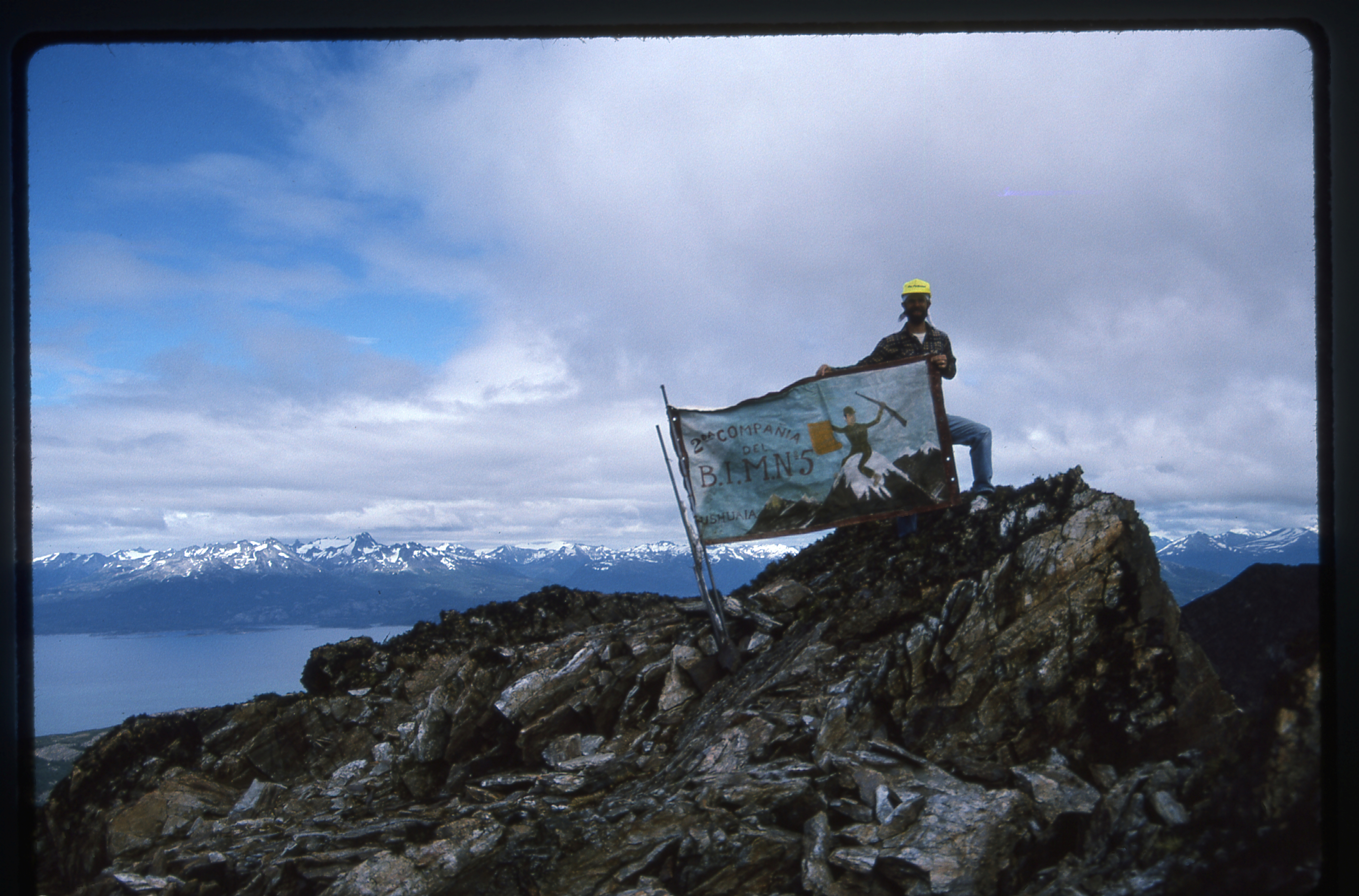
The banner on the summit.
It was a home-made banner, and here’s what it said: “2da Compañía del B.I.M.N. #5”. That means “2da Compañía Batallón de Ingenieros de Montaña #5” and that translates as “Fifth Batallion Second Company of Mountain Engineers, Ushuaia”. You can zoom way in and see the details. I love the depiction of the soldier with his rifle, sitting on the snowy peak.
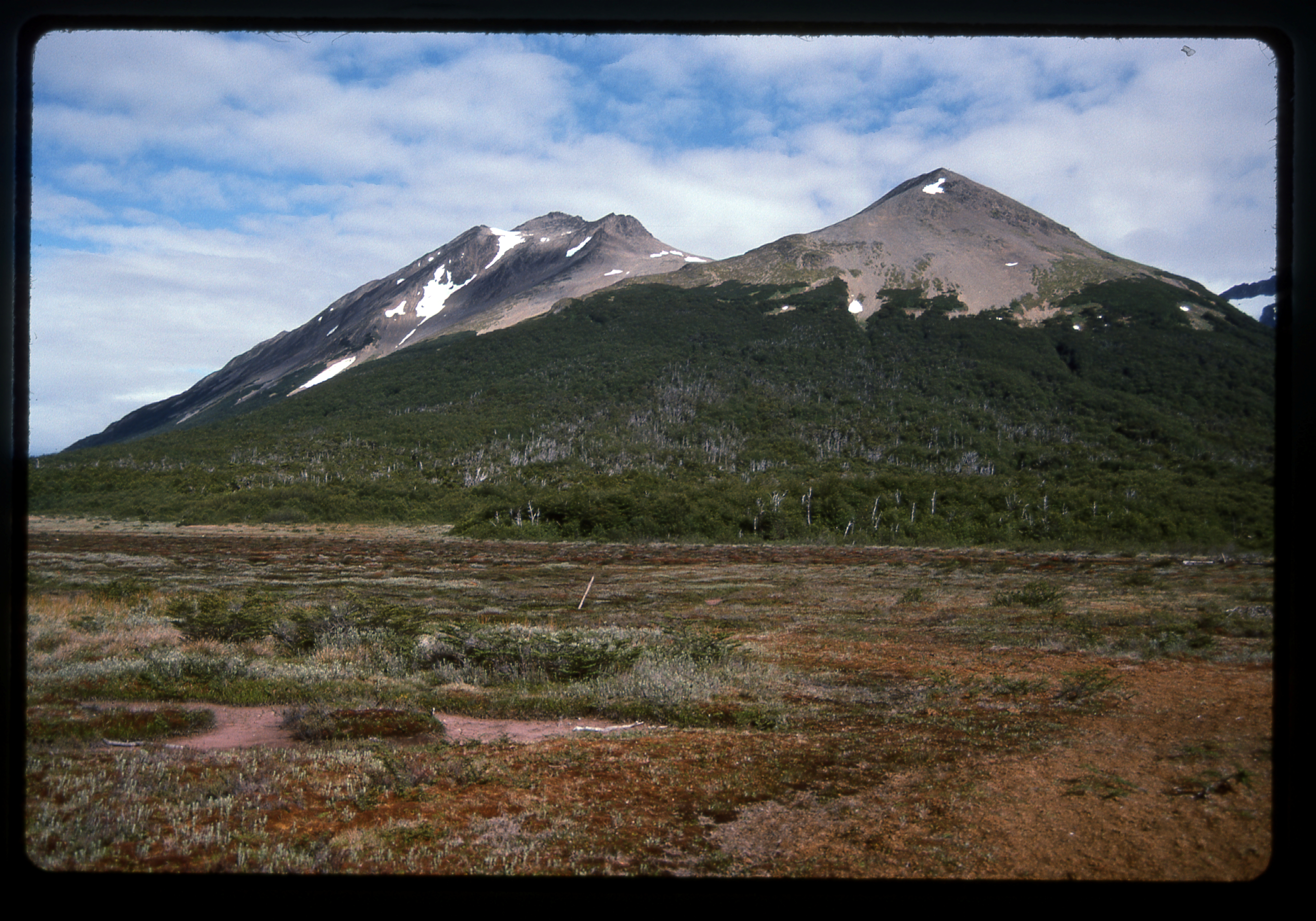
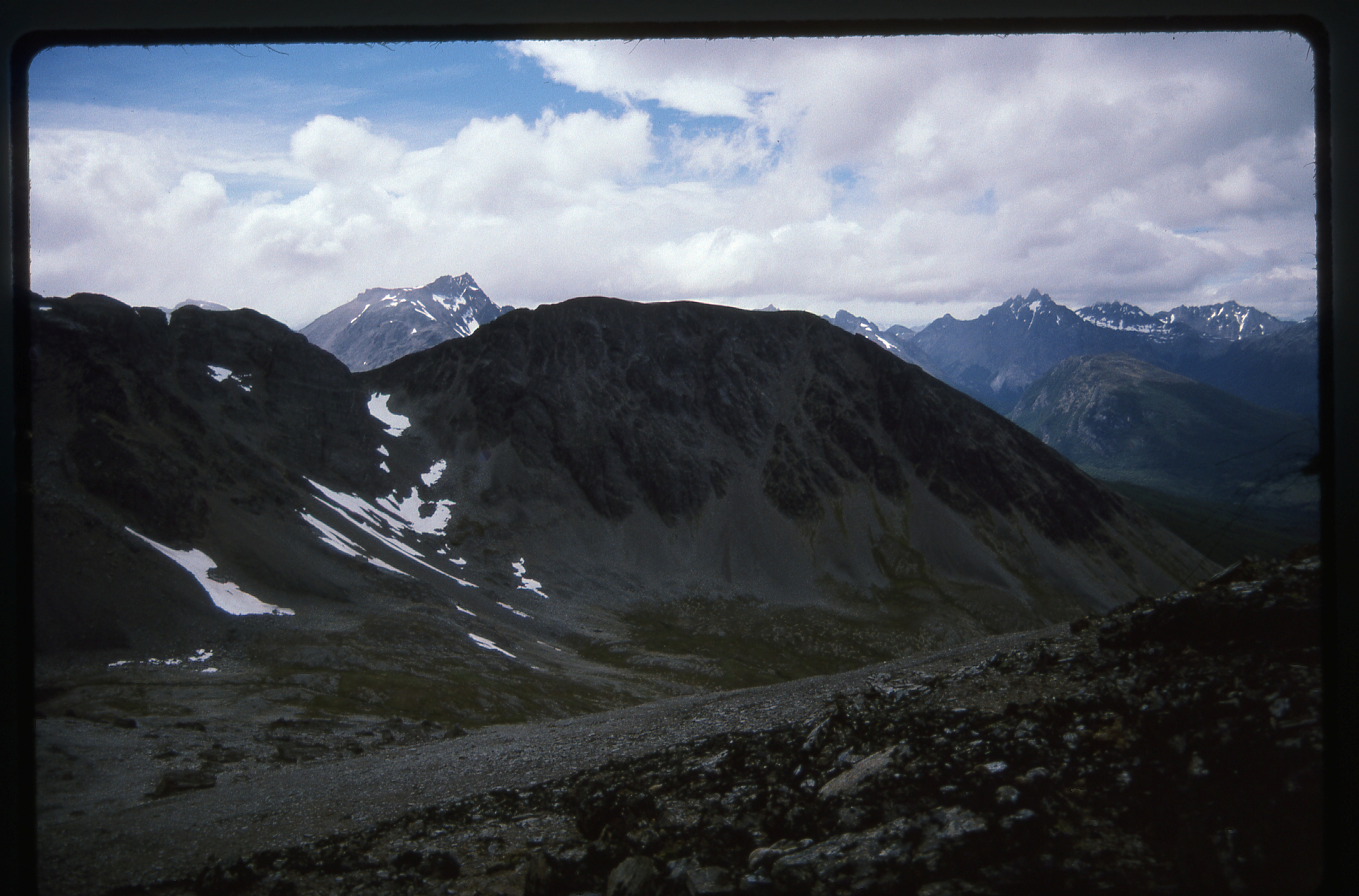
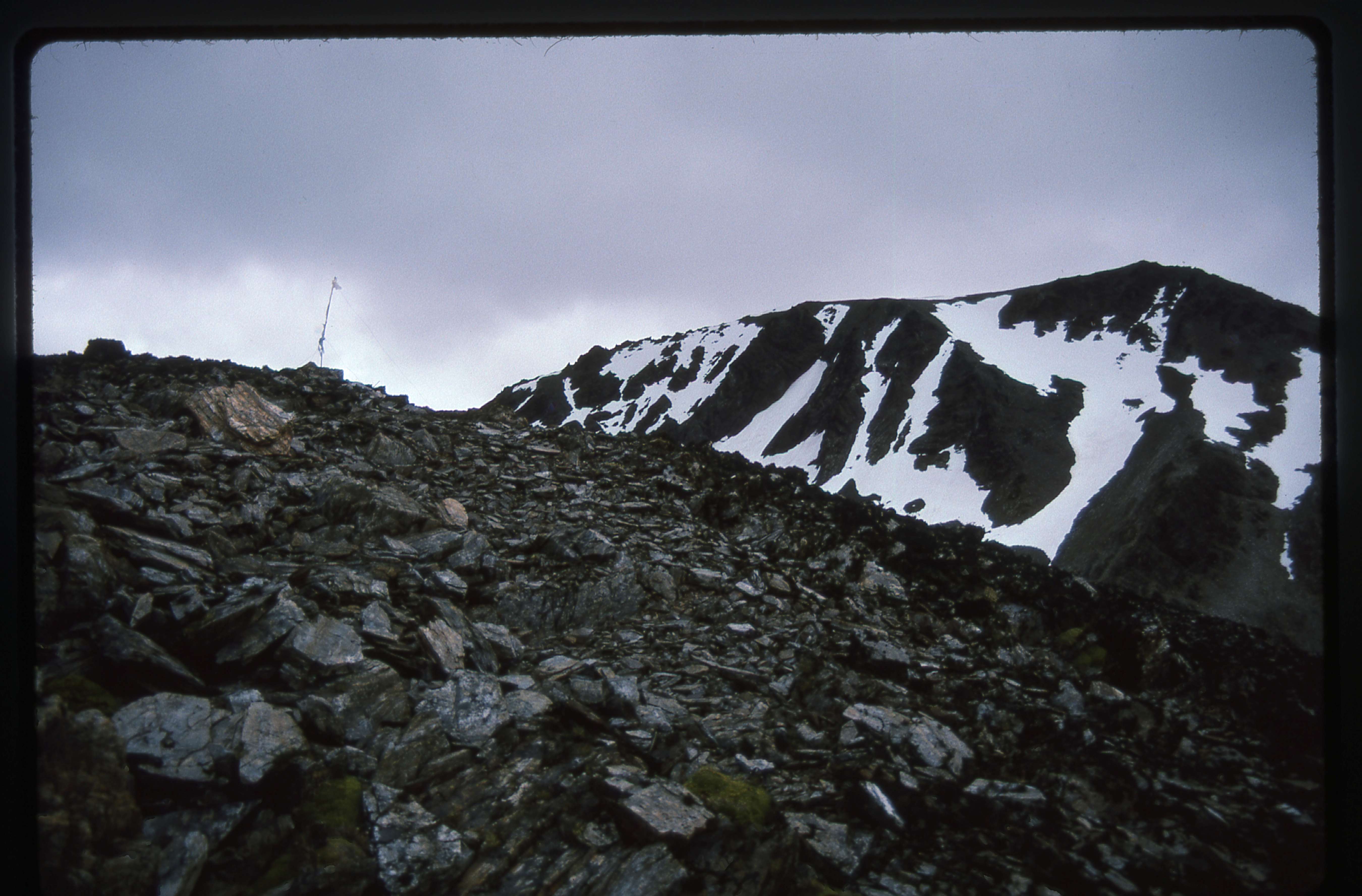
I was excited to reach this mountain-top for the views I knew would be had from it, and I wasn’t disappointed. To the north, I had this view of nearby, higher peaks in the Martial Mountains.
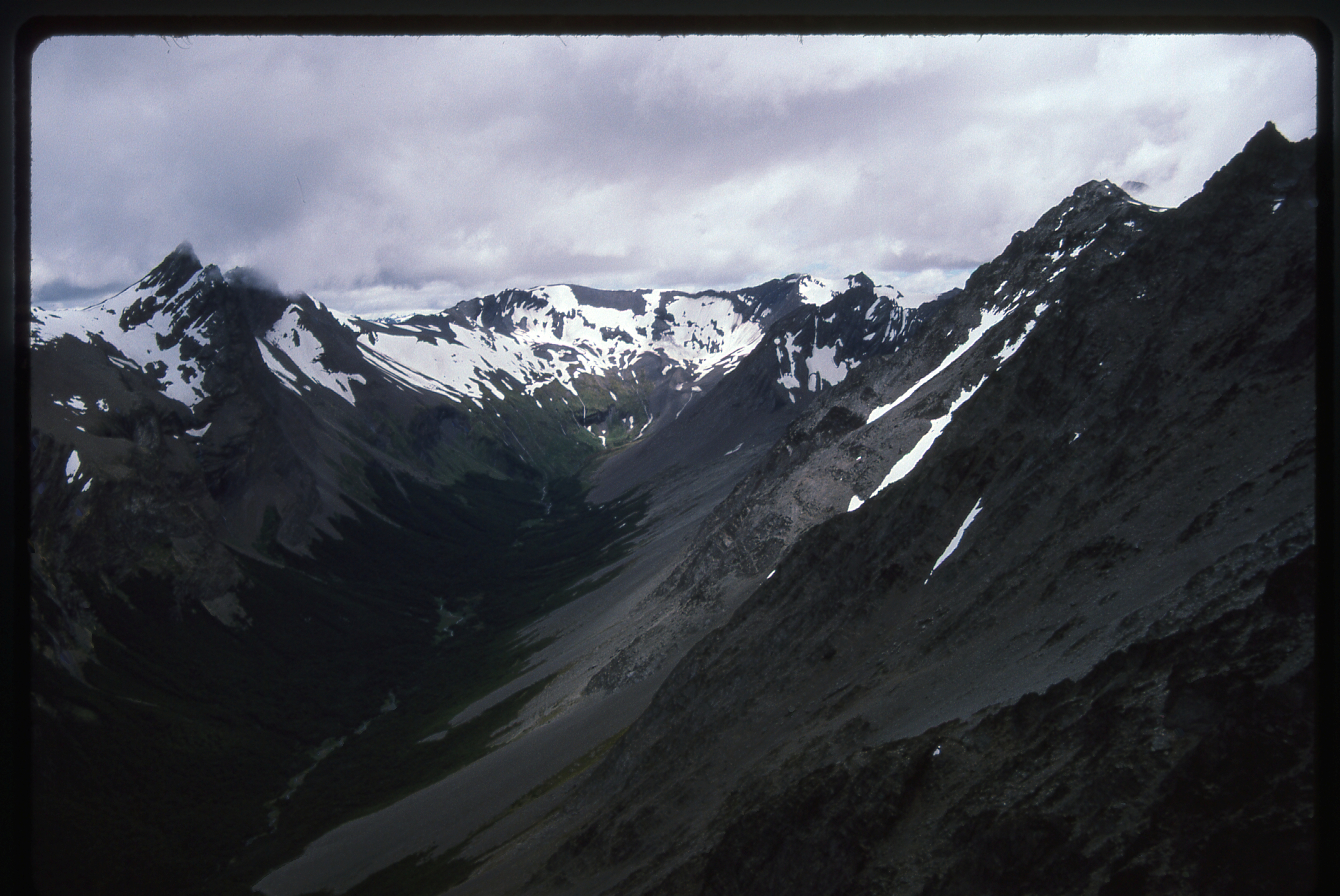
From our summit, looking north into the Martial Mountains
This next shot brought up mixed feelings. It is a view south, across Beagle Channel and down Murray Channel. Cape Horn is 60 miles away, and I had no way of getting there. So near, yet so far.
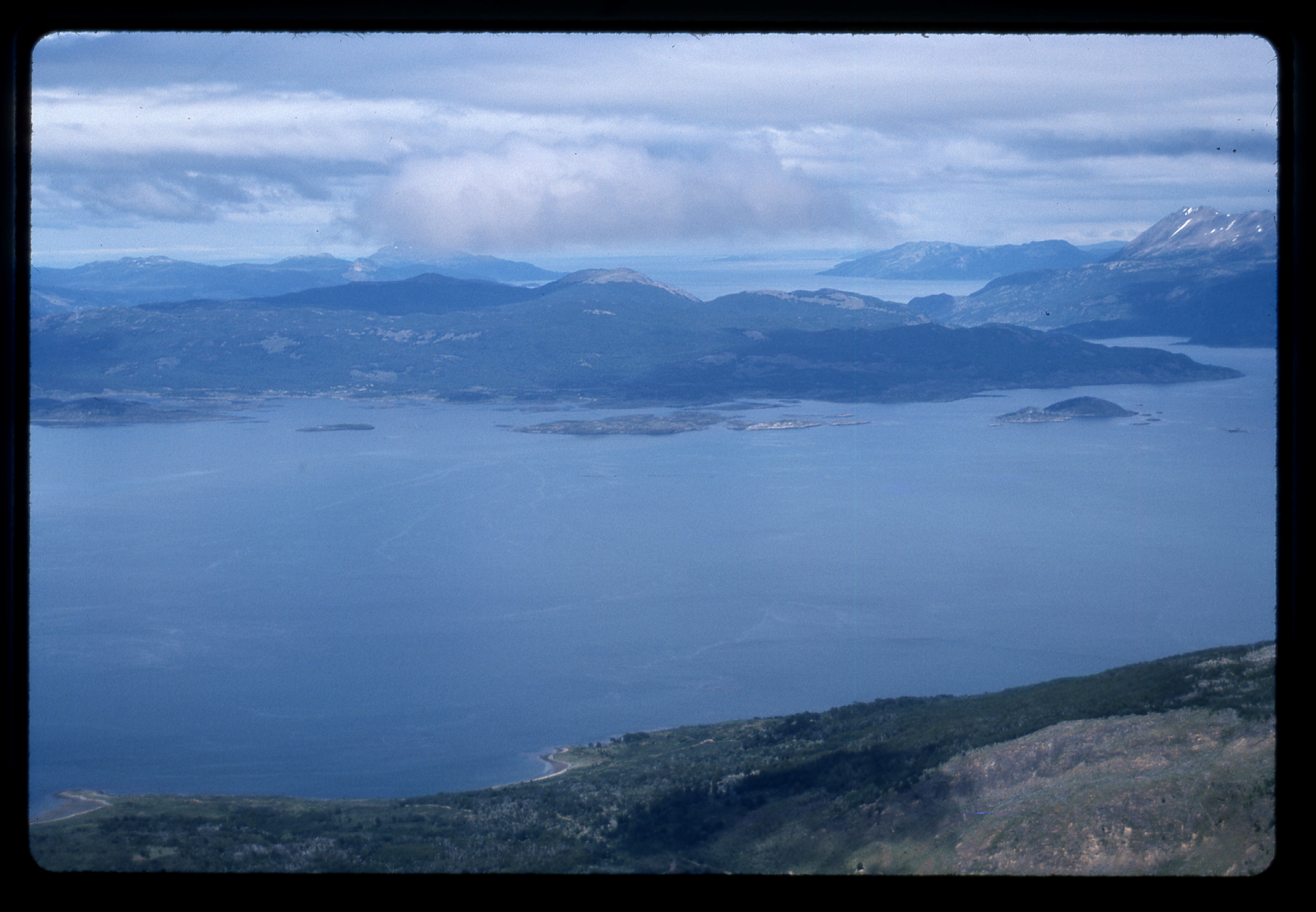
Looking south from our peak
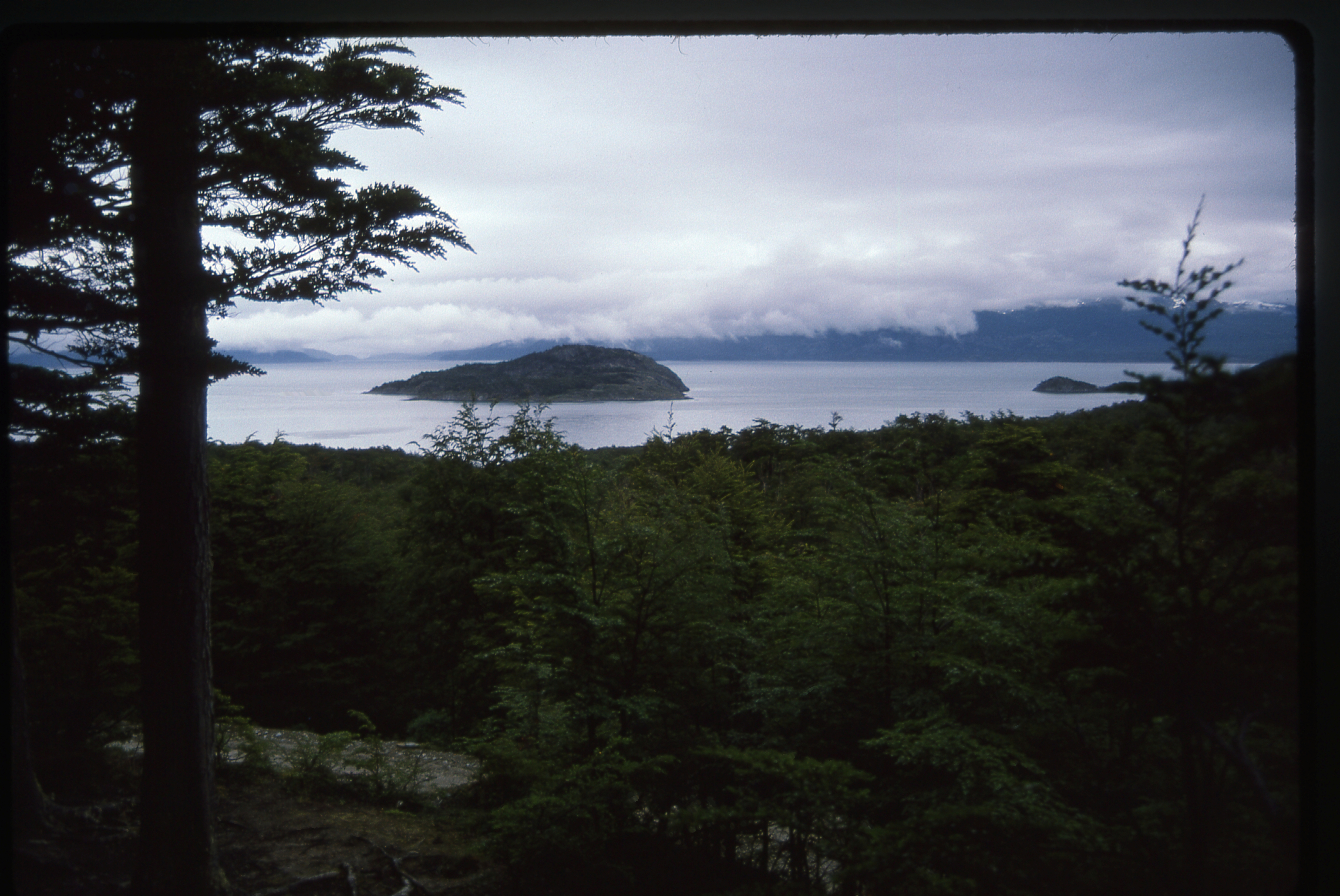
This next view is looking southwest, over Isla Gordon, a large uninhabited island which rises to 5,200′ and has a lot of permanent snow and ice. That’s Beagle Channel running across the photo. In the valley below, a road can be seen – it runs out to Tierra del Fuego National Park.
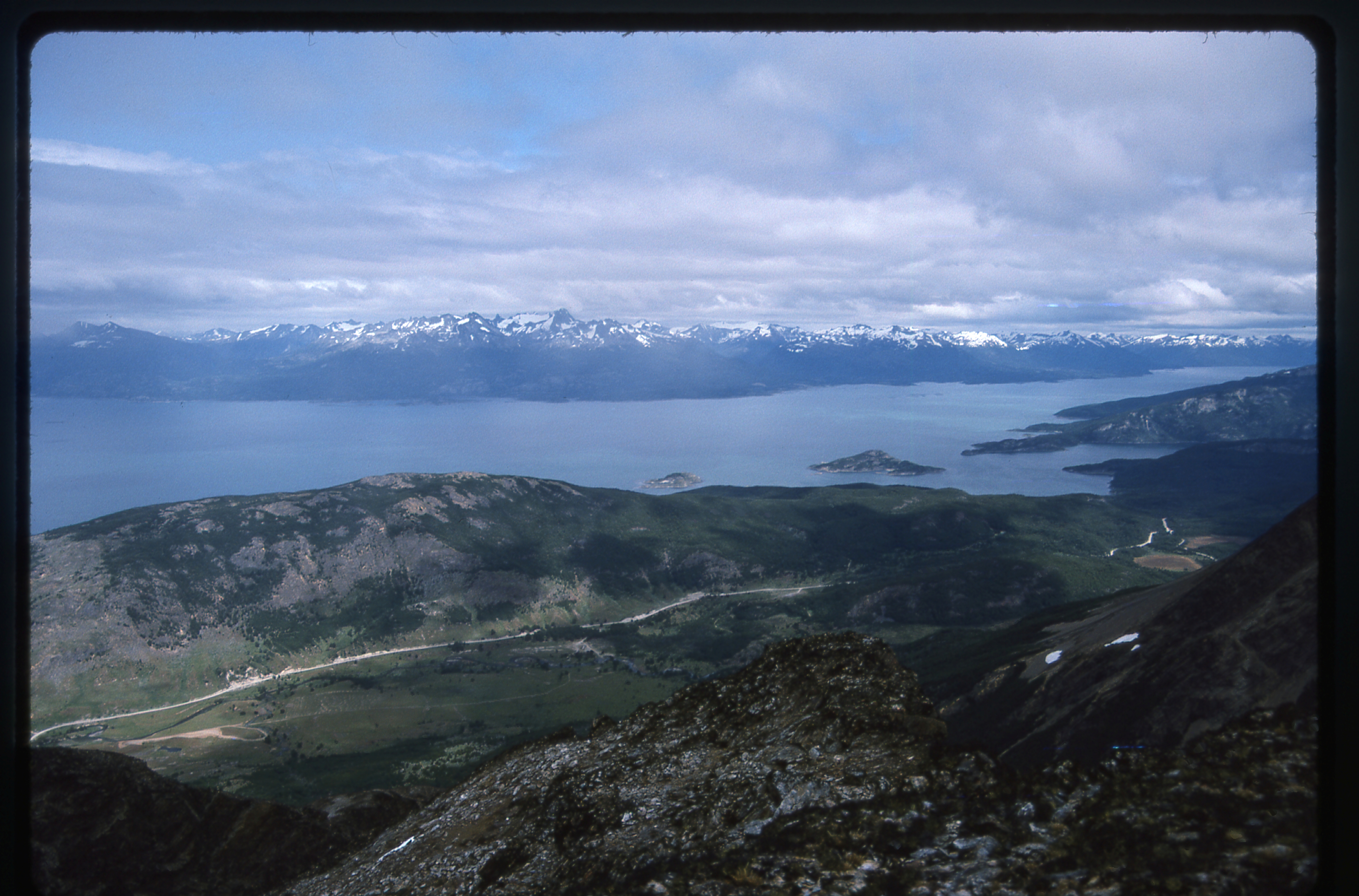
Looking out to Gordon Island
And here, at least to me, was the most tantalizing view of all – a look to the west. Lost in the clouds, yet just over 30 air miles distant, are the highest peaks on the island of Tierra del Fuego. Cerro Darwin rises to 8,700′ in the middle of a range known as Cordillera Darwin. That may not seem high to some of you, but that peak rises from sea level in less than 7 horizontal miles. Glaciers in that range calve icebergs directly into tidewater. Darwin and Cerro Sarmiento can only be approached by boat, not overland, so climbing one of them can take a week, given the usually-atrocious weather.
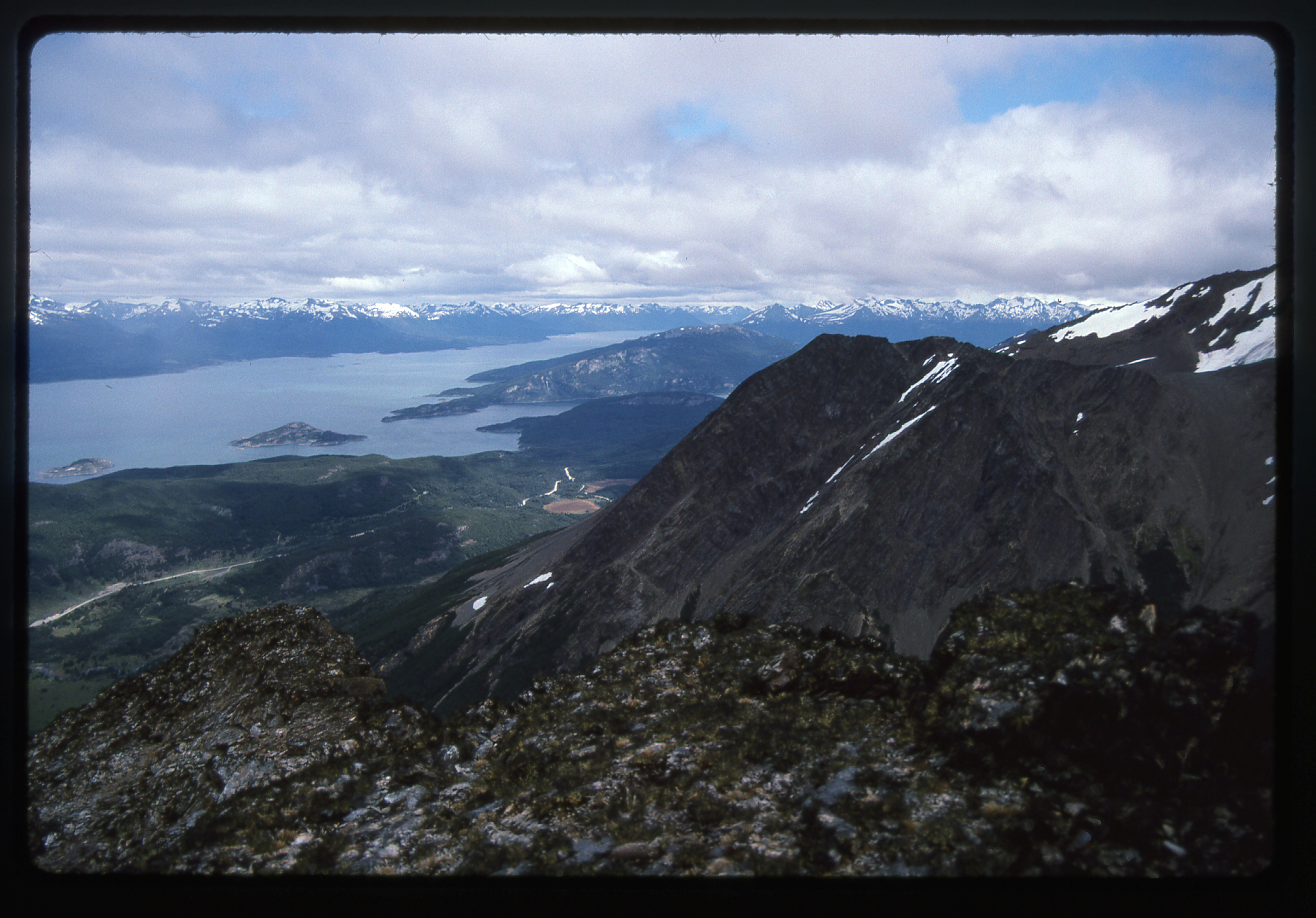
Looking west along Beagle Channel towards the Cordillera Darwin.
After the daydreaming session on top of Peak 4500, we headed down by a different route, more to the east, then walked back into town.
Over a delicious spaghetti dinner at the No Hay Problema cafe that evening, we learned that the Gulf War had begun, with bombing in Baghdad. Details were sketchy at this point.
The following morning, I went to a bank to change dollars for australes. The rate was now 6,190 per dollar. Seadon had left on a noon flight and I, with time on my hands, hitched a ride west of town out to the entrance of Tierra del Fuego National Park. After that, no traffic whatsoever, so I walked for 5 miles through nice wooded country along a dirt road.
Looking at Beagle Channel while in Tierra del Fuego National Park
It started to rain, then a nice couple picked me up. We drove all around the park. Here is the shore of Beagle Channel from a spot called Lapataia.
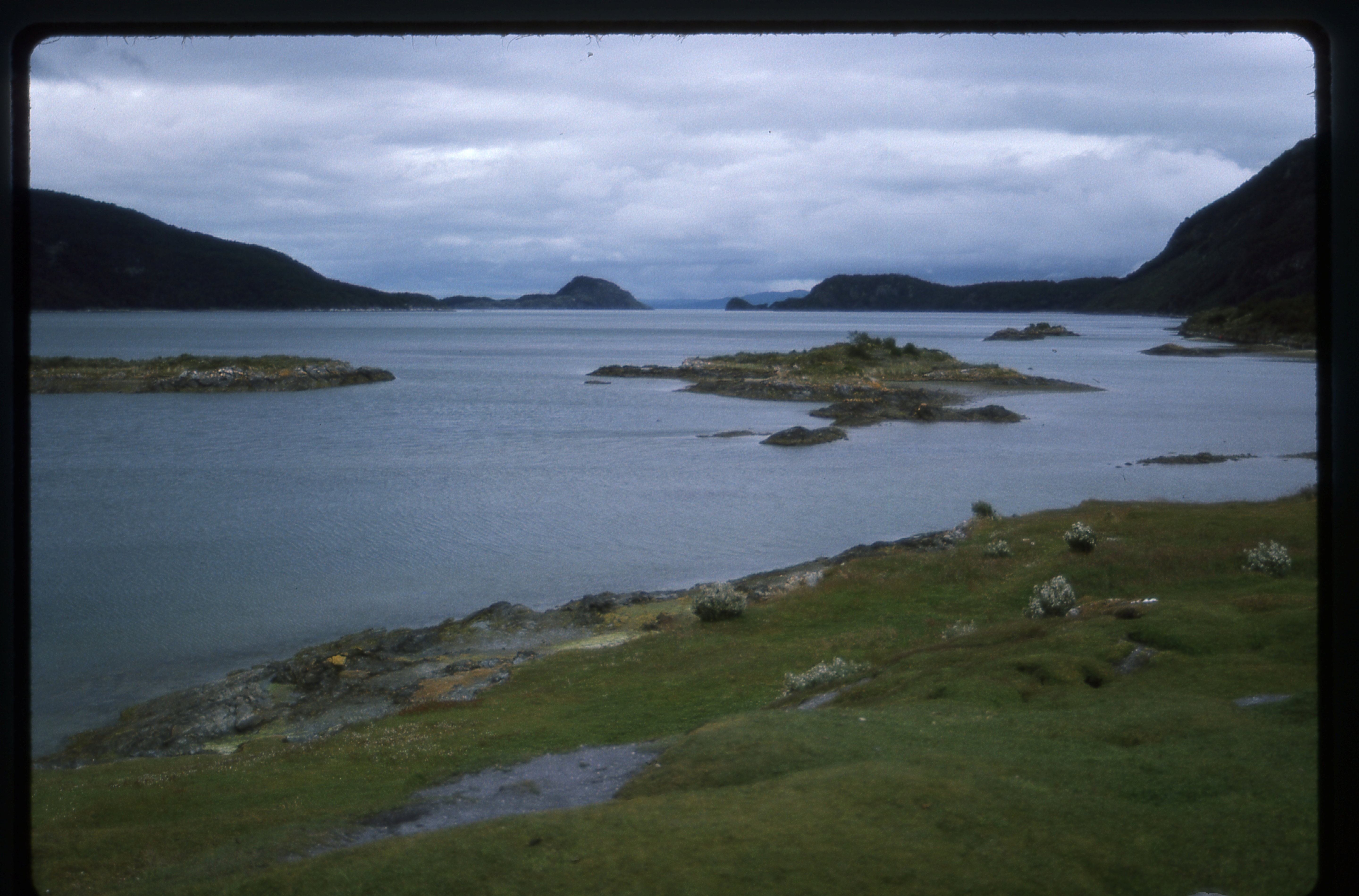
Beagle Channel at Lapataia
Here’s a shot looking northwest up 6-mile-long Lago Roca, most of which is across the border in Chile.
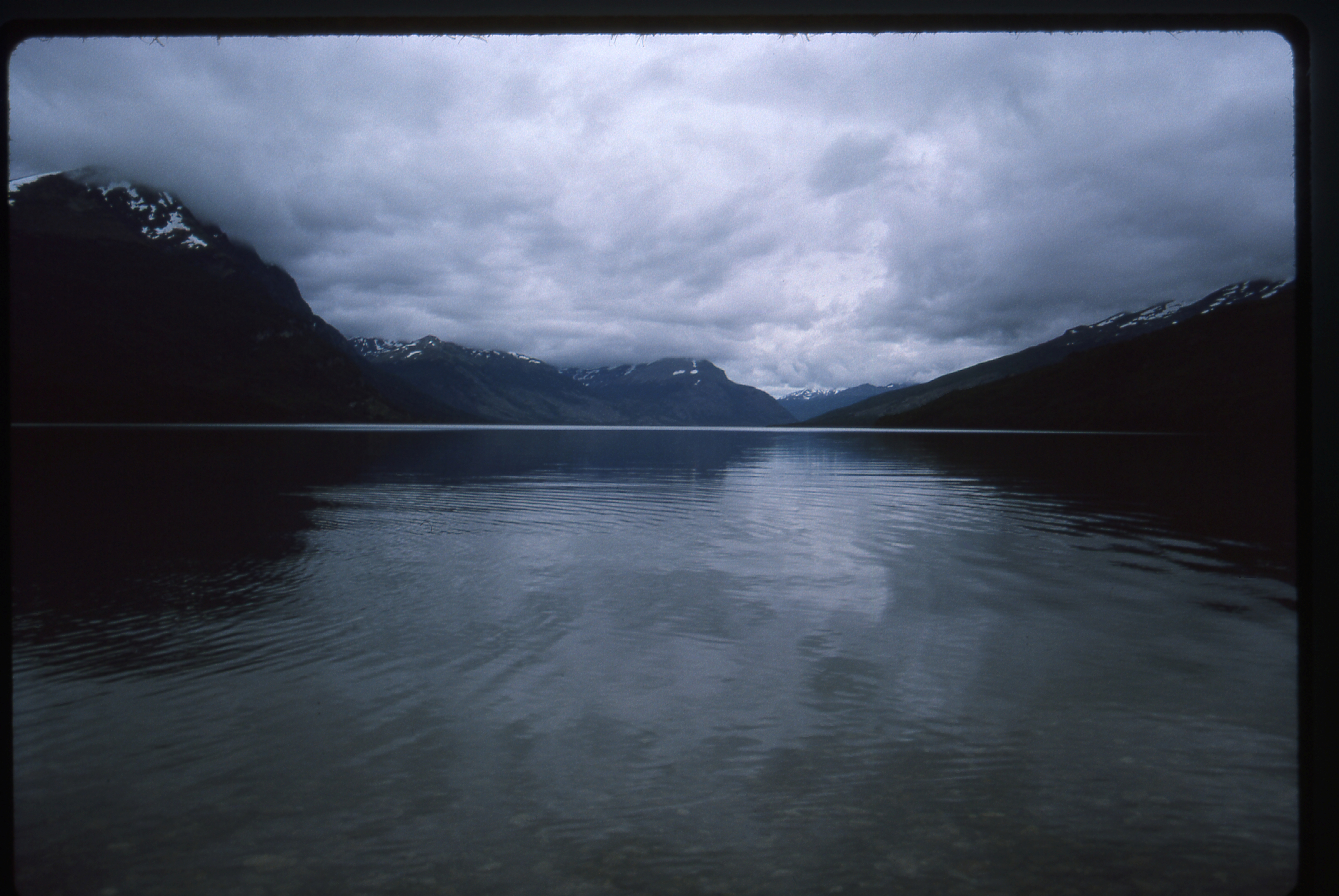
Looking up Lago Roca
After we’d seen just about everything that could be seen by driving around, the folks who’d picked me up gave me a ride all the way back to my rooming-house in town. I went back to the same cafe for dinner, where I had another huge helping of spaghetti – it filled me up for little money – and then walked back to my room and turned in early, as I had another climb planned for the next day.
Friday, January 18, 1991
Following directions given to me by the folks in whose home I was staying, I walked north on city streets for a short distance. Once past the last houses, with some looking I found a trail. It wandered a lot, but I managed to stay on it. In this next photo, it can be seen on the right.
My trail heading north
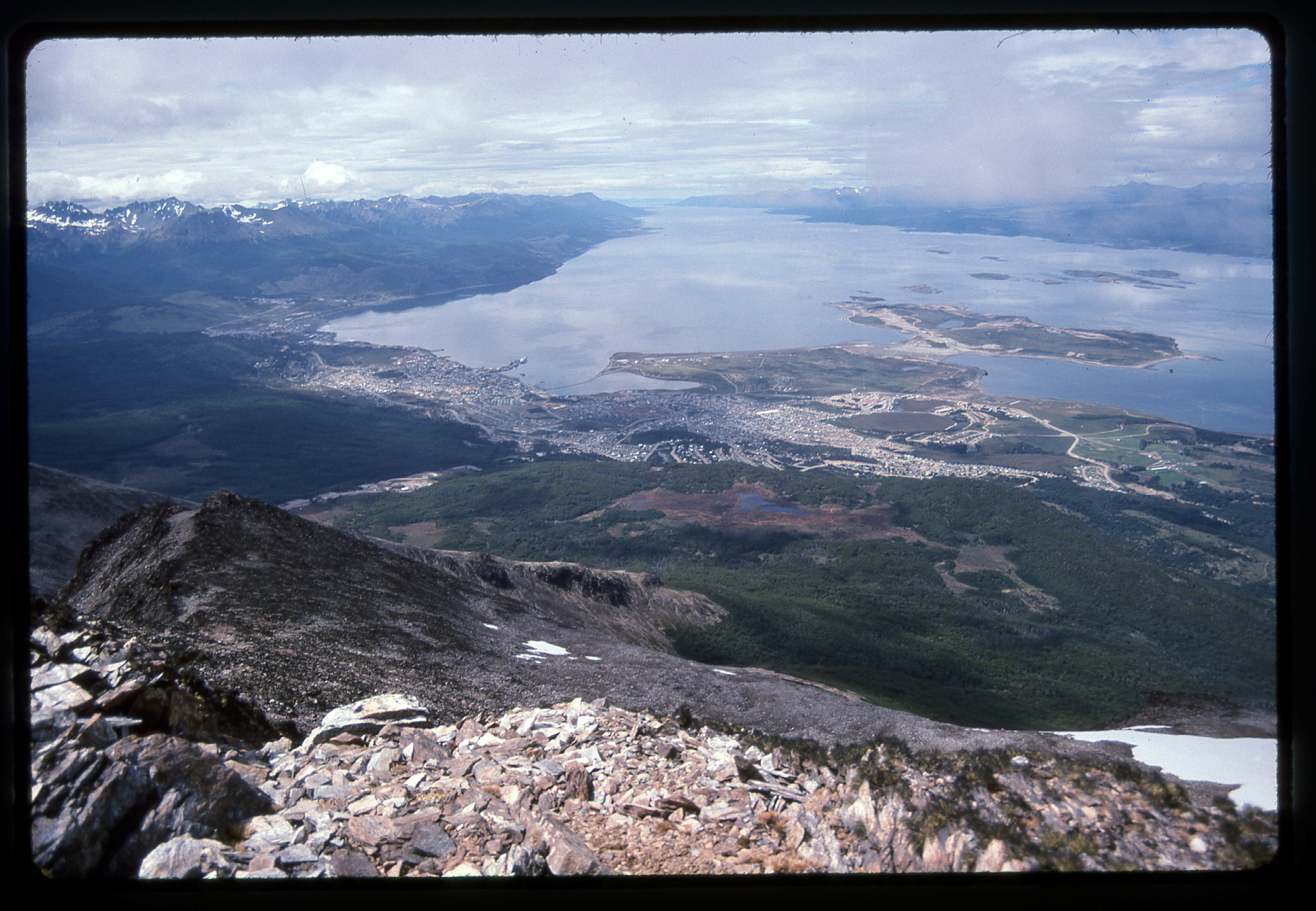
Looking back over Ushuaia
From higher up, I had this view back over the city.
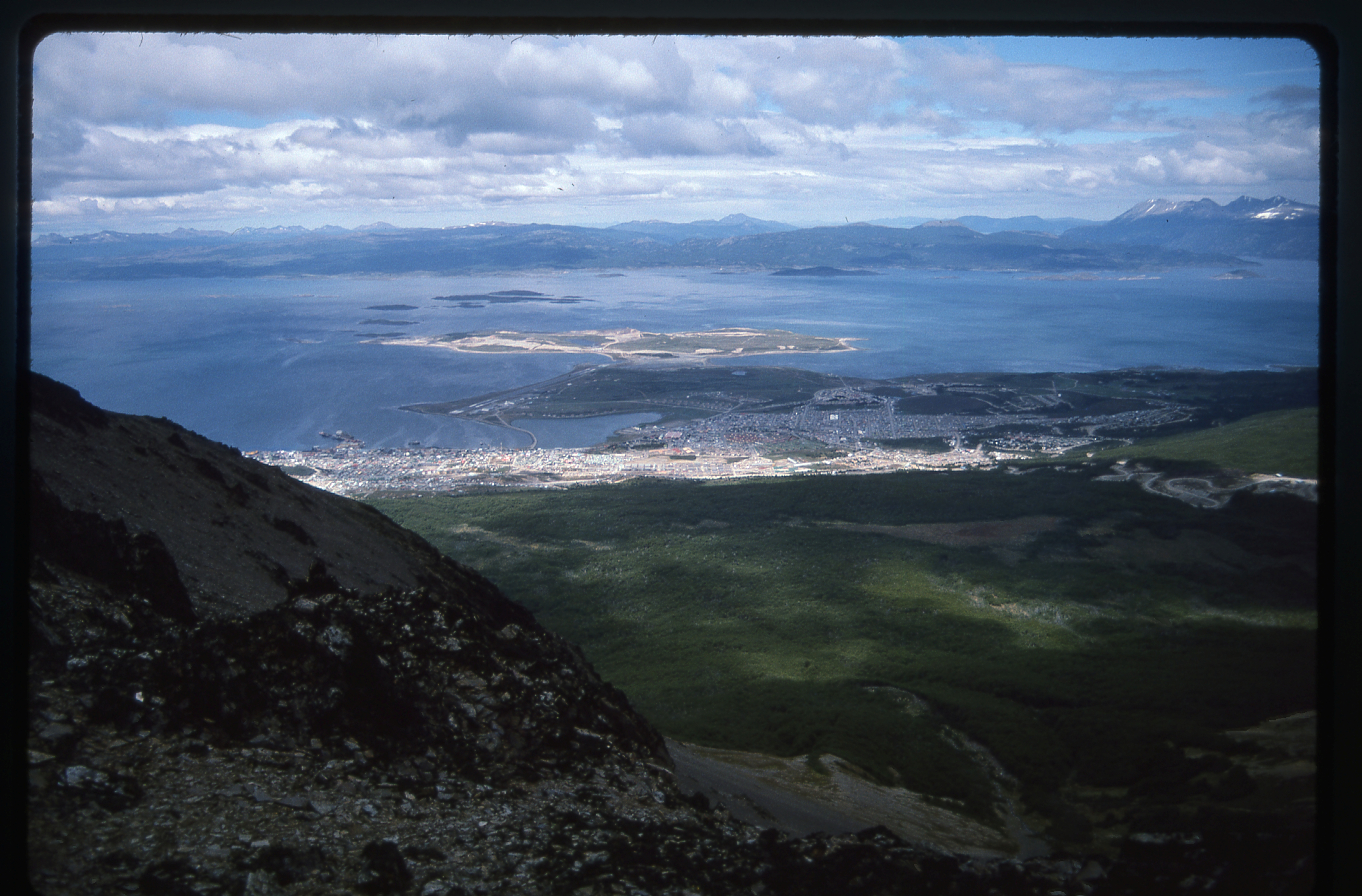
Looking south over the city
Eventually, after a lot of sketchy sections, it broke out above treeline. I think the reason I was able to follow it as well as I did is that it is used by people riding horses and was pretty well-worn.
Looking east from Cerro del Medio
The Martial Mountains
Finally, I left the trail and went straight uphill towards a summit, where I found a real register. It appears that there are at least two climbing clubs in town.
The top of Cerro del Medio
My altimeter said the elevation was about 4,250′ on top of Cerro del Medio. The weather was very mixed – sun, cloud, rain and snow, all within a few minutes. A huge Andean condor circled slowly overhead while I soaked it all in. After the requisite summit photos, I started down – the descent was much quicker, as the route was obvious. It only took me two hours to return to the house. I wanted to show you this photo of the waterfront while I had a chance. As you can see, there are deep-sea freighters that dock here, as well as cruise ships. The catamaran is used by a local company to carry tourists to scenic spots in the area.
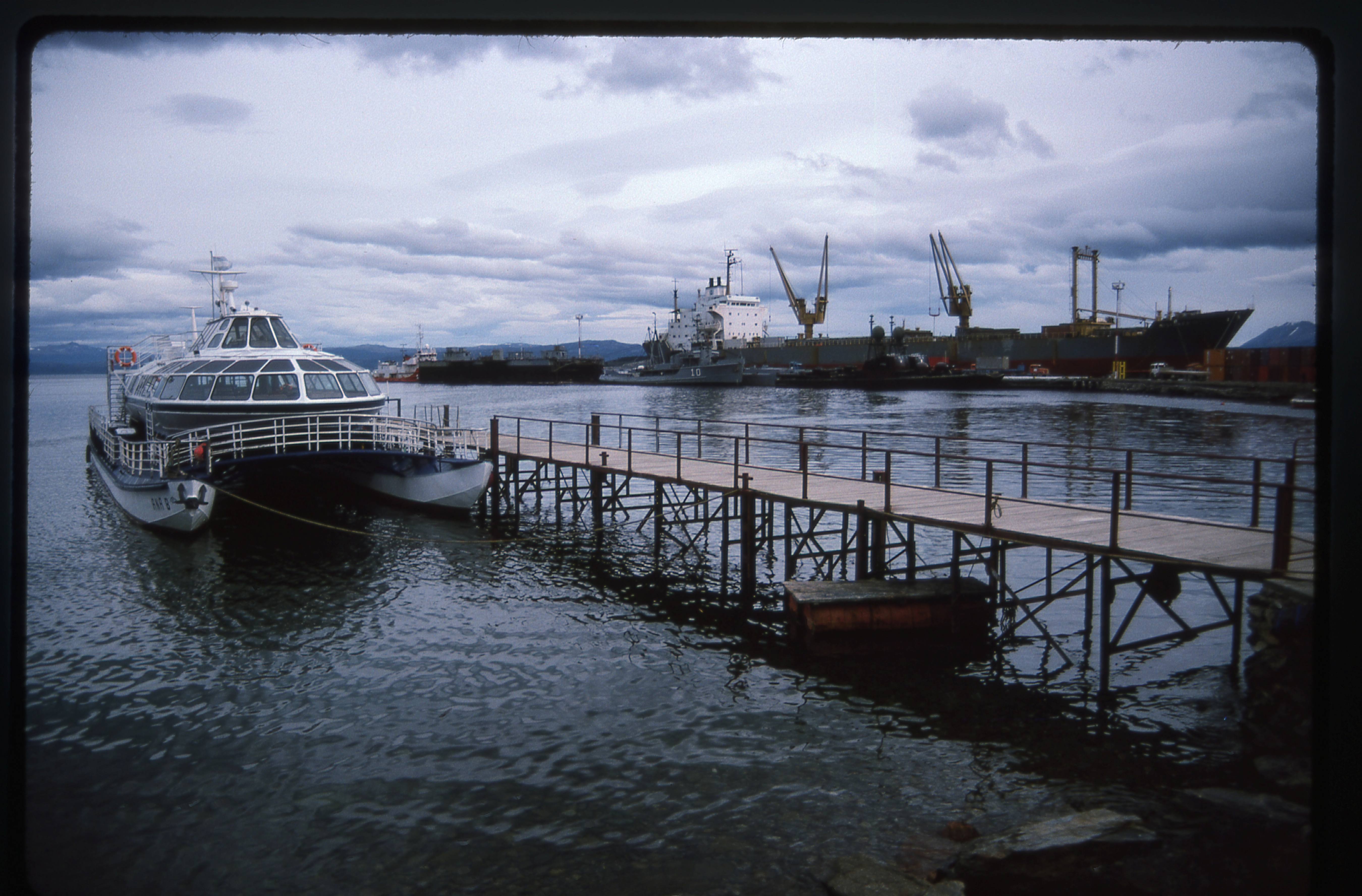
Ushuaia harbor
Remember the guys who drove here from New Mexico, Adam and Kyle?, They, and their friend Danielle, met me at a restaurant for dinner. After that, we went for coffee and drinks, partying until late – it was two in the morning before I got back to my room. Tomorrow I fly out – I’ve had a great time, and after almost a week here, I’m going to miss this place a lot.
Please stay tuned for the next installment of this story, Part 11.
Please visit our Facebook page at https://www.facebook.com/pages/Desert-Mountaineer/192730747542690