
There’s a remote mountain in the Arizona desert with the unusual name of Quail. Okay, the mountain doesn’t have a proper name the way you might think, but rather, there’s a benchmark on top of it named “Quail”, and that’s how it’s shown on the topographic map, “Quail Benchmark”. A few years ago, I had the good fortune to visit the place with two friends while on a week-long peakbagging jag. It was on a weekend, the only time you can get permission to enter that part of the military bombing range, so we drove in as far as was allowed and parked for the climb.
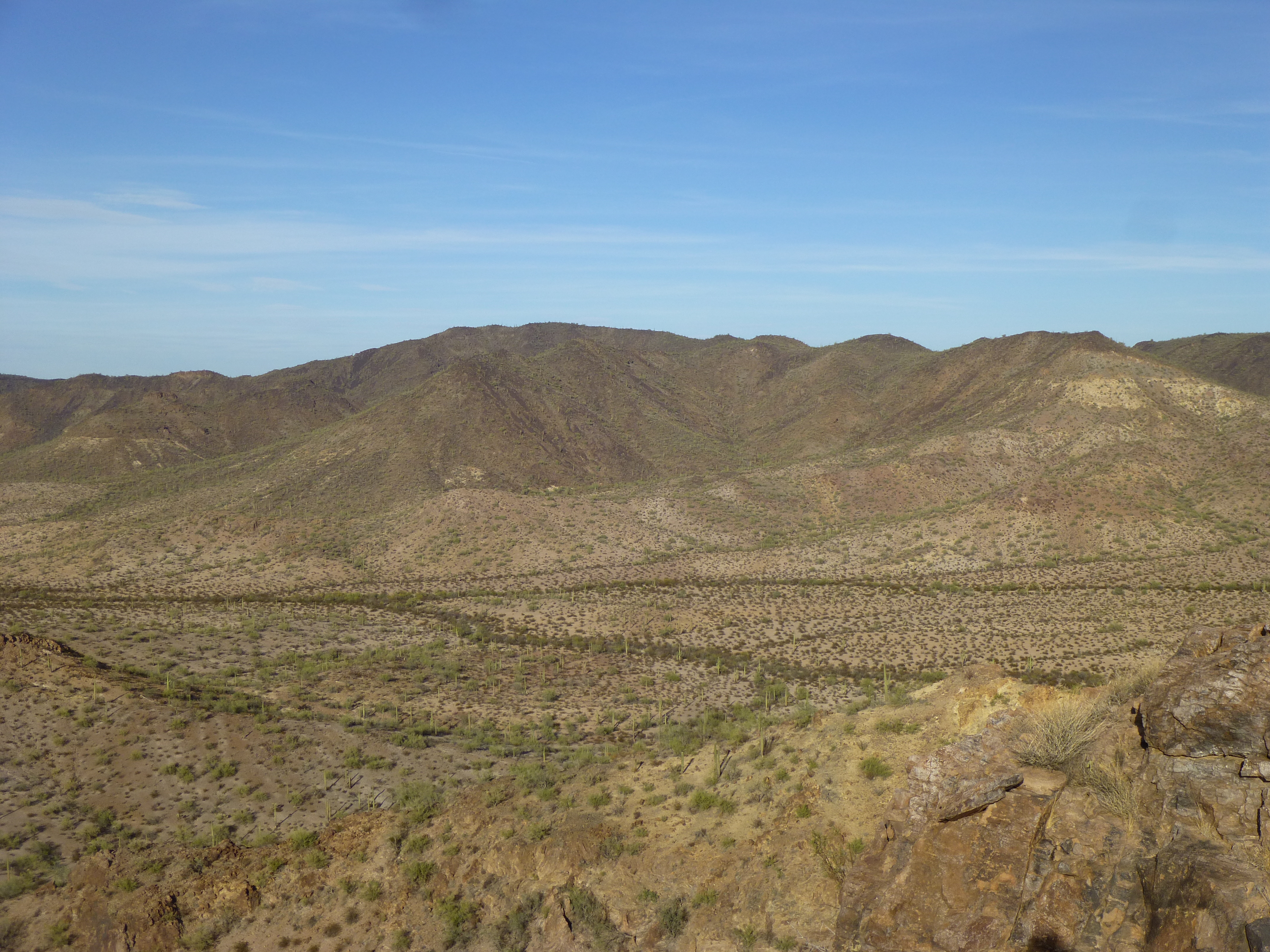
The west side of Quail
It was a gain of a thousand feet to reach the summit. There, to our surprise, we found a register which had been left way back in 1989 by our friends Barbara and Gordon from California. It had sat there on the lonely mountaintop, undisturbed, for 23 years. We too signed in and enjoyed our lunch on the summit. Here’s a picture of the benchmark – as you can see, it is a brass disk left by the surveyors. These are usually imprinted with the year of their survey, and the name of the benchmark itself, and cemented into solid rock. Quail Benchmark has an elevation of 2,713 feet.
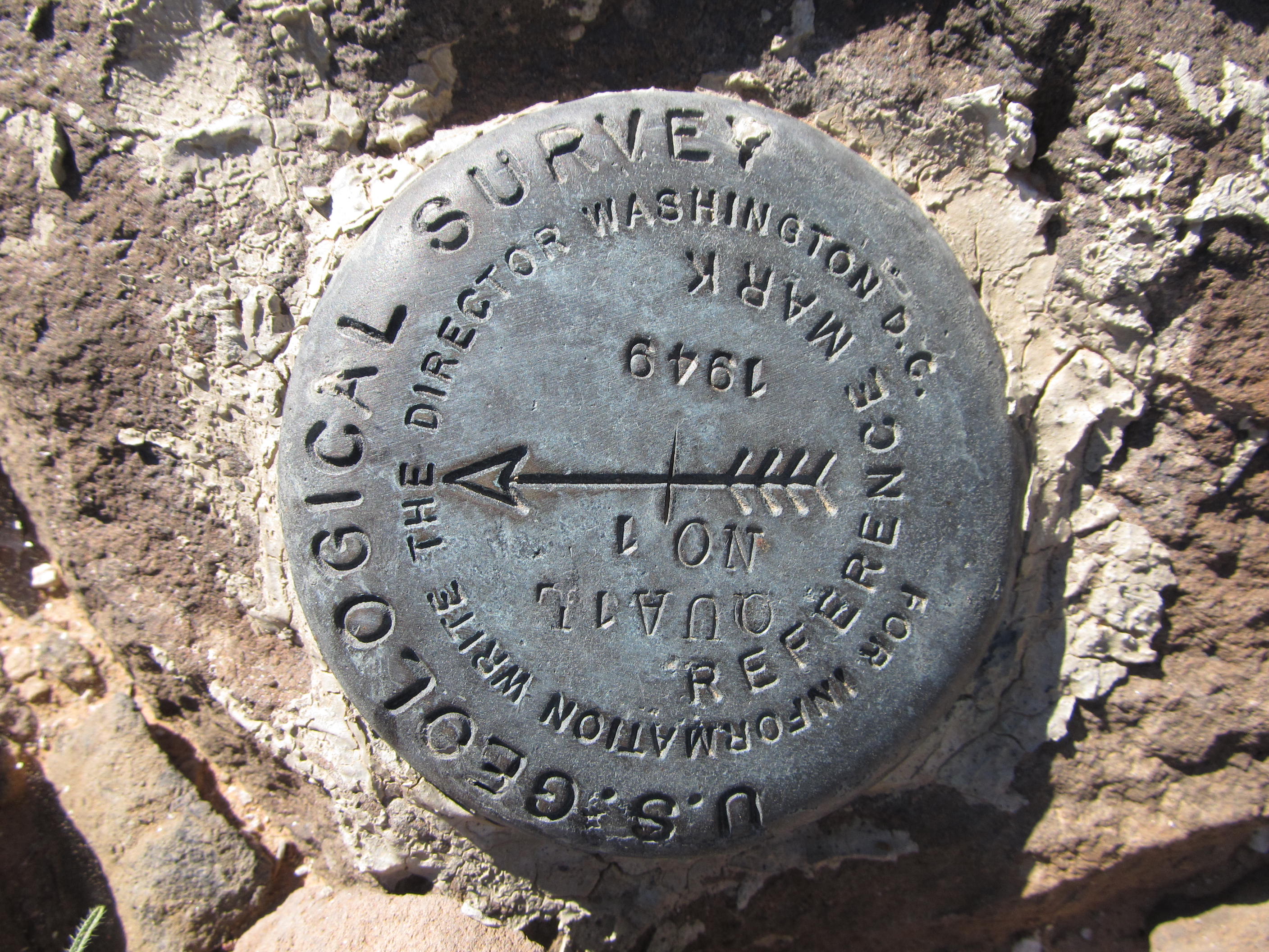
Quail Benchmark
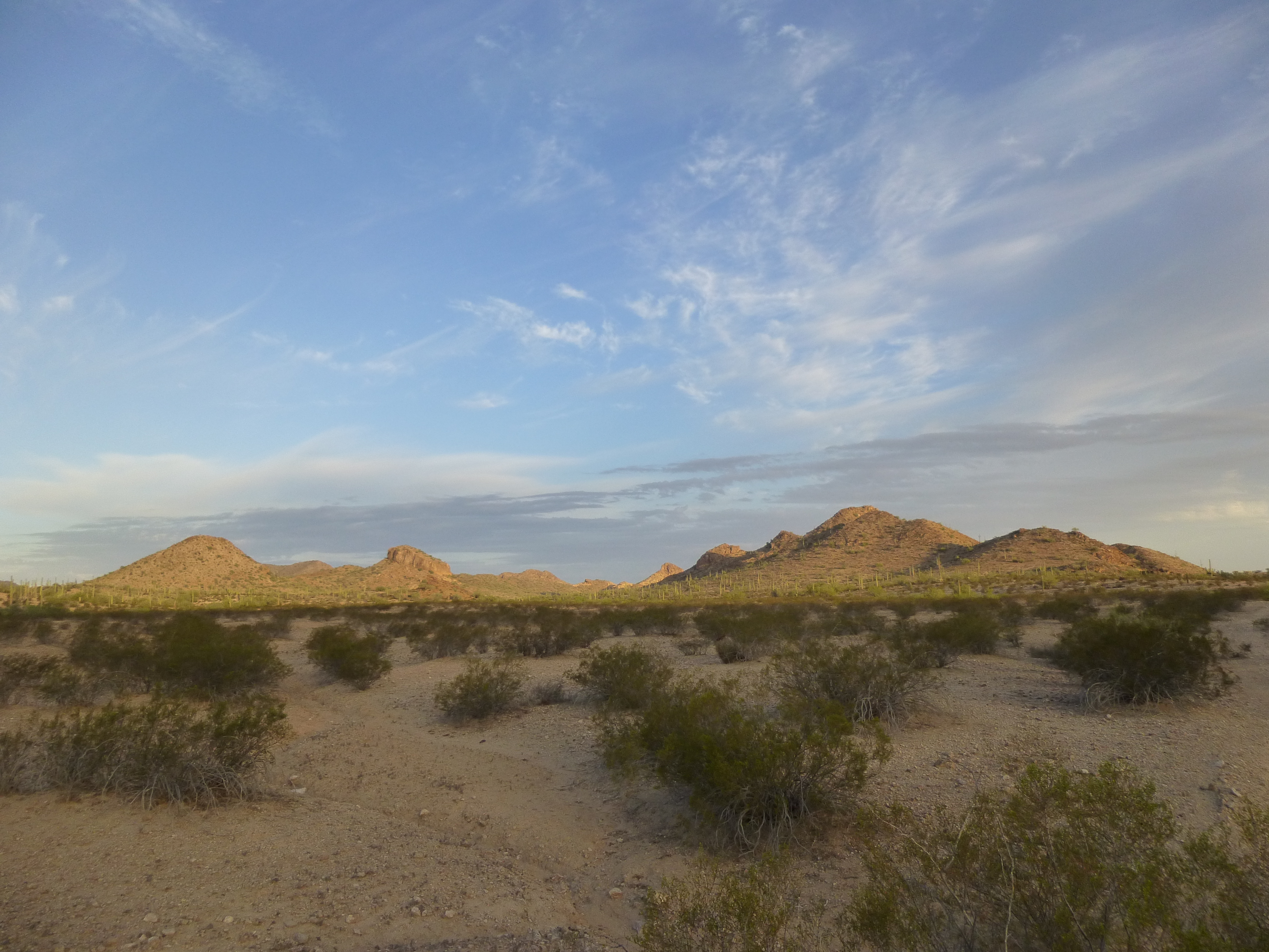
Once we left the area, I was pretty sure I wouldn’t be back, but never say never, right? Turned out I’d return many times, and there were some fine days spent around Quail, so I thought I’d tell you about some of them. Quail itself is an interesting peak – it’s more like a large uplift of land, 4 miles across and probably volcanic in origin, eroded all around in such a way that a number of distinct ridges radiate out in all directions. Other peaks sit along these ridges or in the nearby desert, so I had plenty of excuses to go back.
Four years after Quail, I returned early one morning with another fellow to climb Peak 2342. We wanted to get it done and vamoose, so it was a quick, breathless dash to the summit. Just enough time to leave a register and snap a few photos, then gone!
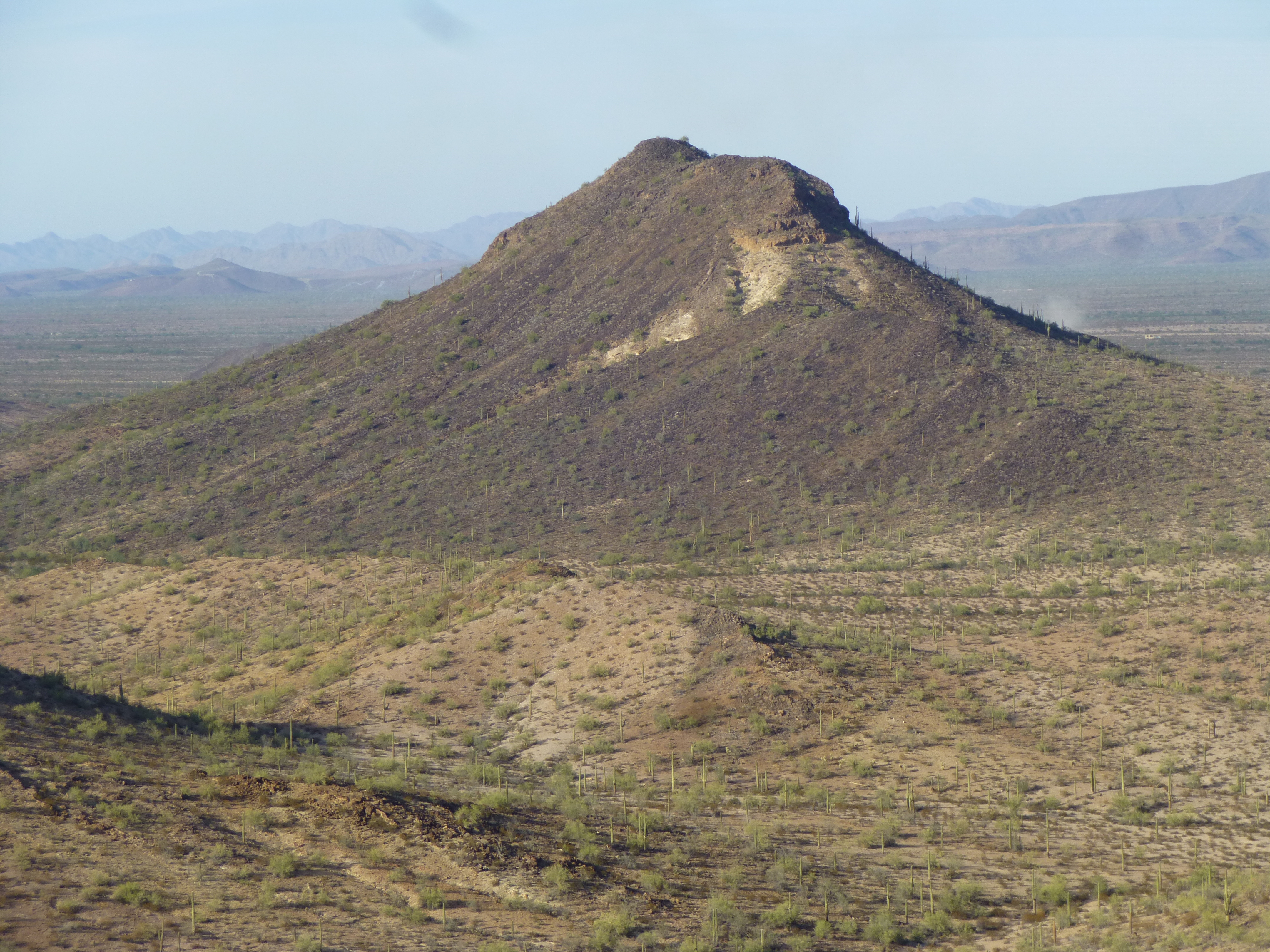
The west side of Peak 2342
But my list-driven peakbagging addiction called me back once again. I left Tucson one noon and, by the time I’d reached my chosen area to park, four hours had passed. Let’s just say that the area I’d chosen to spend the night was, technically, a bit grey, so I had to really root around to find a place to hide my truck – stealth parking, you could call it. Here’s what I mean – as you can see, I’m in a narrow wash under a canopy of trees, the better to avoid prying eyes in the sky.
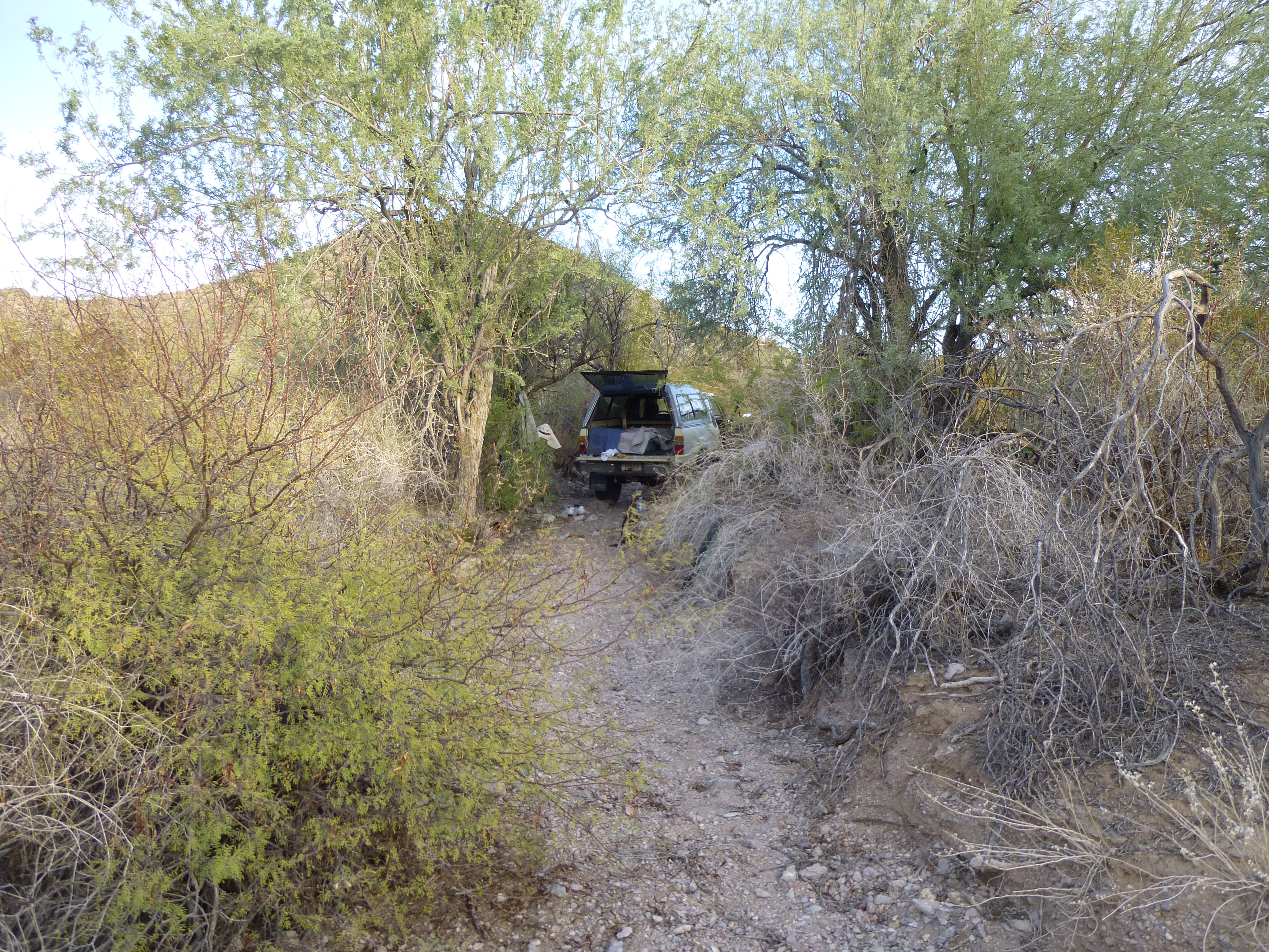
Stealth parking
I had a while before dark, so I headed off on foot to Peak 2225, which was nearby. It was straightforward and took little time, so once I reached the top it was only 5:00 PM. An unspoiled, virgin summit with no trace of any prior visit. It was hot, though, way too hot for my liking and well above seasonal norms – 86 degrees F. in the shade. A few miles away, a Blackhawk helicopter was raising a cloud of dust on the desert floor, to what end I’m not sure.
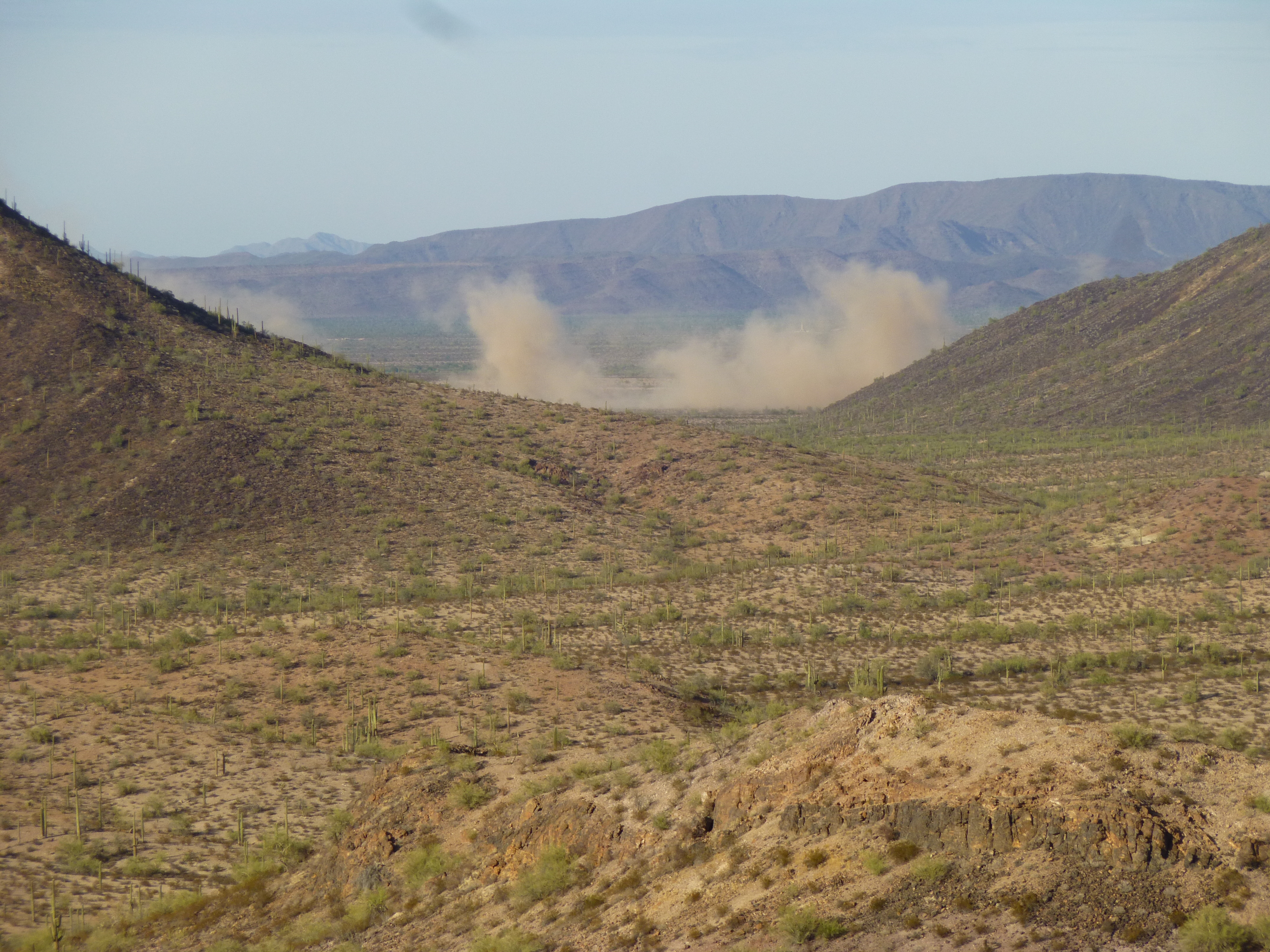
Blackhawk dust-up
From this peak, I had a good look to my next one I’d do in the morning.
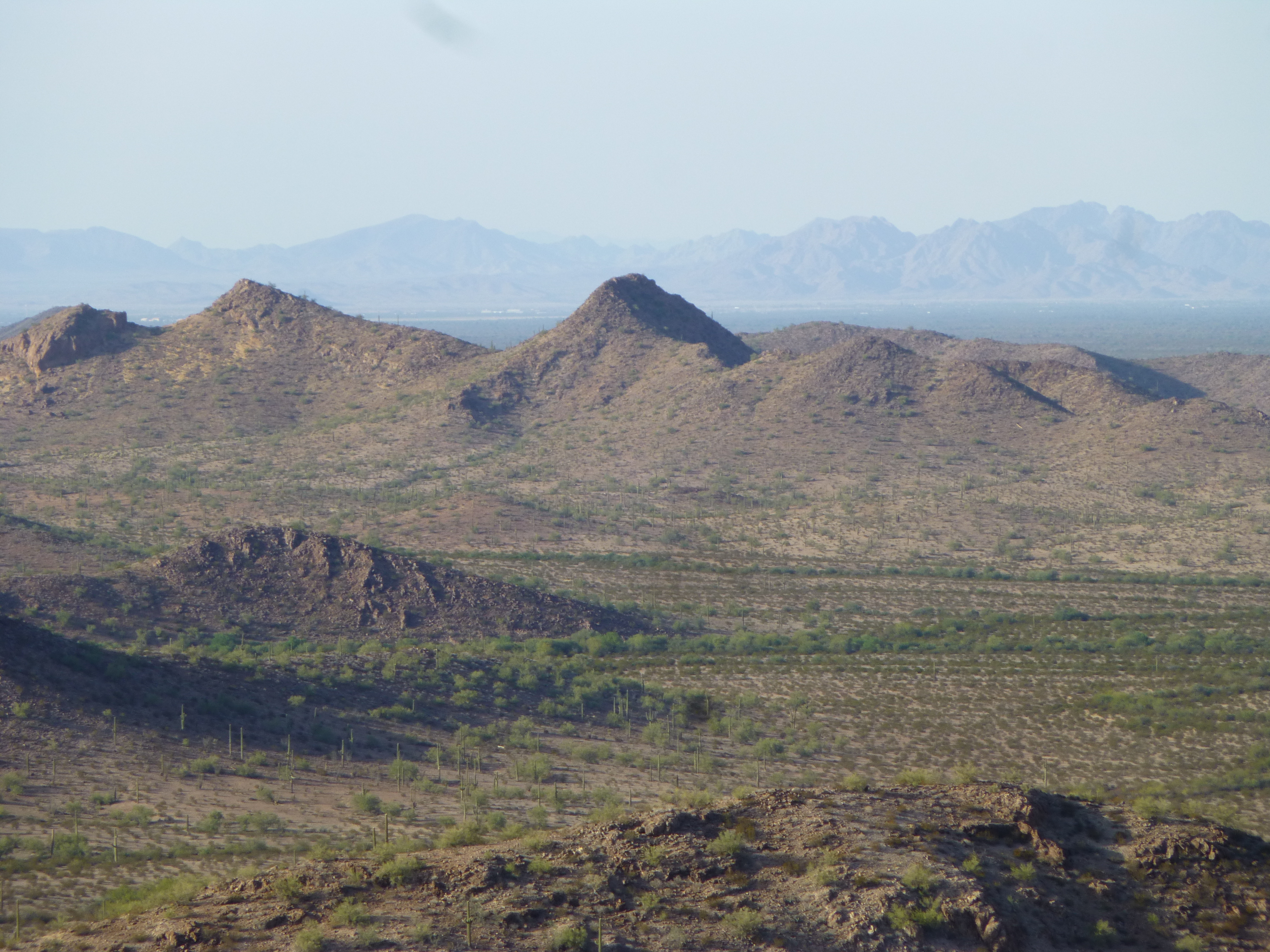
Looking north to Peak 2063
By the time I got down and headed across the desert floor back to camp, shadows were getting long. In preparation for the next day, I did several things I don’t normally do. Crucial things would be in my day pack, but anything else I couldn’t afford to lose, I bagged up and hid out in the nearby desert, and I do mean hid well. I also disabled the truck, so it couldn’t possibly be driven by any interlopers. Sound paranoid? Maybe, but Bad Guys passed through this area and I didn’t want to play any games with them. I also left a sign (in Spanish) on my truck which stated, in no uncertain terms, that there was nothing in my truck worth risking your life for, to take the gallon of water I’d left, and to keep moving.
The next morning, at first light, I was out on an old road and pedaling to my first peak of the day. The early light in the desert is magical, perhaps my favorite time, and I savored it as I moved along. There were a number of places where running water had obliterated the road and I had to get off and walk the bike, but on the whole it was a lot quicker than walking. Long ago, perhaps back in the 1930s, before the area had been taken over by the military, there were old roads there that were used by civilians. It seems only natural that once in a while one of their cars broke down and was abandoned by the wayside. Here’s an example, a 1935 Plymouth.
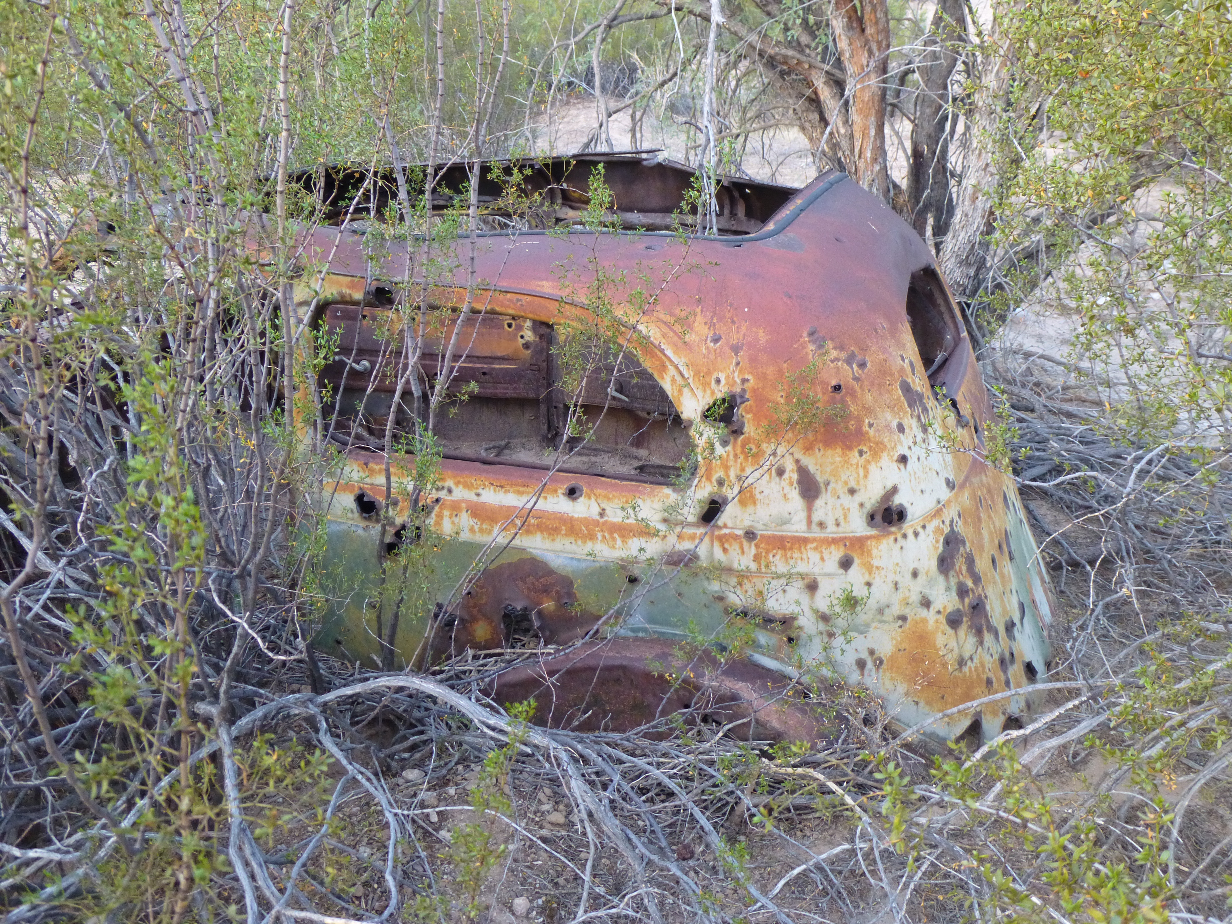
The old-timer
There wasn’t much left of this old piece of Detroit iron, but considering it’d been there for 80-odd years, there was probably a lot more of it left than there would be of any 2016 automobile left out there to suffer the elements until the year 2096.
And check out this old artillery piece rusting away out in the remote desert – very cool, the only one I’ve ever seen.
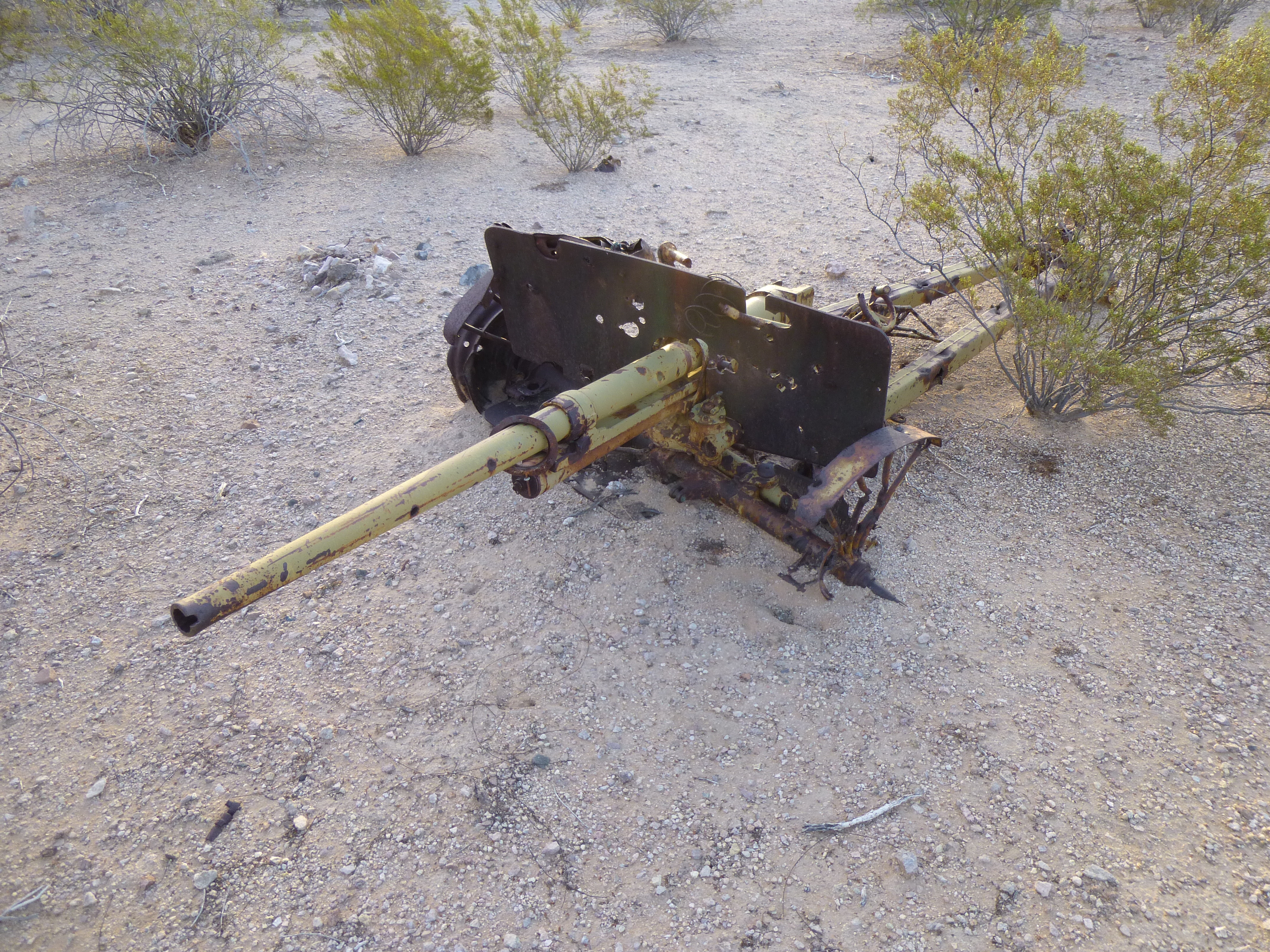
Big gun
It was finally time to ditch the bike and start hoofing it. My peak was a short walk through quiet desert in the cool morning air, and it was short work to gain its summit. It’s the one on the right.
Peak 2063 on the right
Here’s what I found on the top – nothing! Another virgin summit, Peak 2063, untrodden by humans. If you look closely, you can see a white speck on the far right out on the desert floor. Zoom way in – it’s a fake village used by the military for target practice.
The summit of Peak 2063
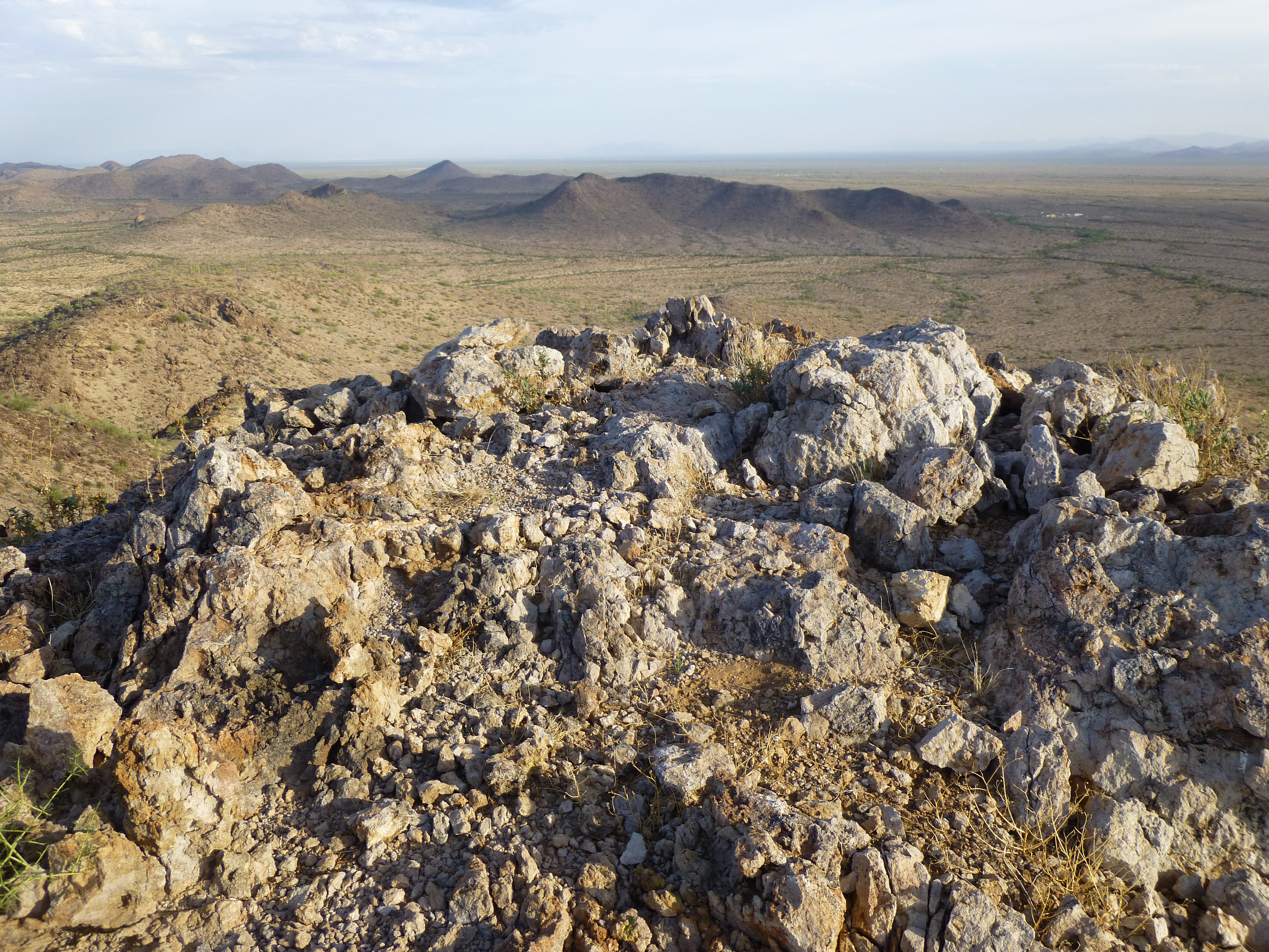
This was a tranquil spot, unsullied by Bad Guys, and I soaked it up.
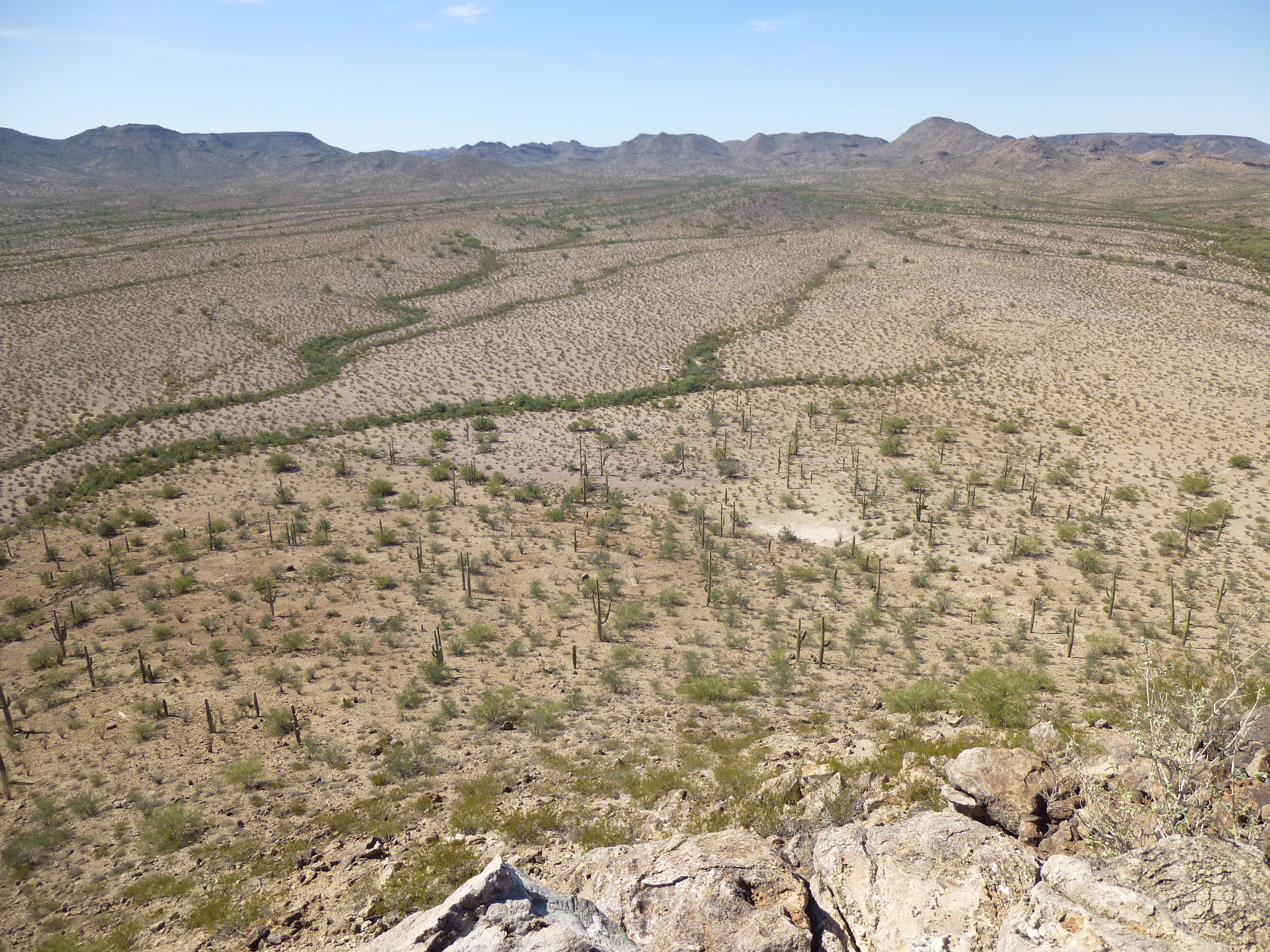
The view southwest from Peak 2782
There were good views of other things, but unfortunately I’m not at liberty to share them with you here. After leaving a register, I made my way back down to my bicycle and rode the many miles back to camp – the truck was undisturbed – yay!
I wrestled it out of its hiding place and headed over to the road. Something had been bothering me since the previous day, and that was the road itself. When I drove in on the previous afternoon, I was shocked to find a portion of the road destroyed. Running water had eroded most of it and left a drop of several feet, making it impassible – you’d need a bulldozer to fix it. When I came to that spot, I’d driven off of the road and up and over a steep little hill nearby and regained the road about 200 feet later, but it was touch-and-go. I’d worried about driving back out ever since, as the return would be steeper and much more challenging. I must have had horseshoes up my ass, because I managed to make it through in one piece. So glad! Less than a mile later, I rolled up to an old corral where this sign was located, indicating the way I’d just come. The Air Force was warning all to not proceed – I had never before seen one of these “Dead End” signs out there, and it was pretty new – and pretty accurate.
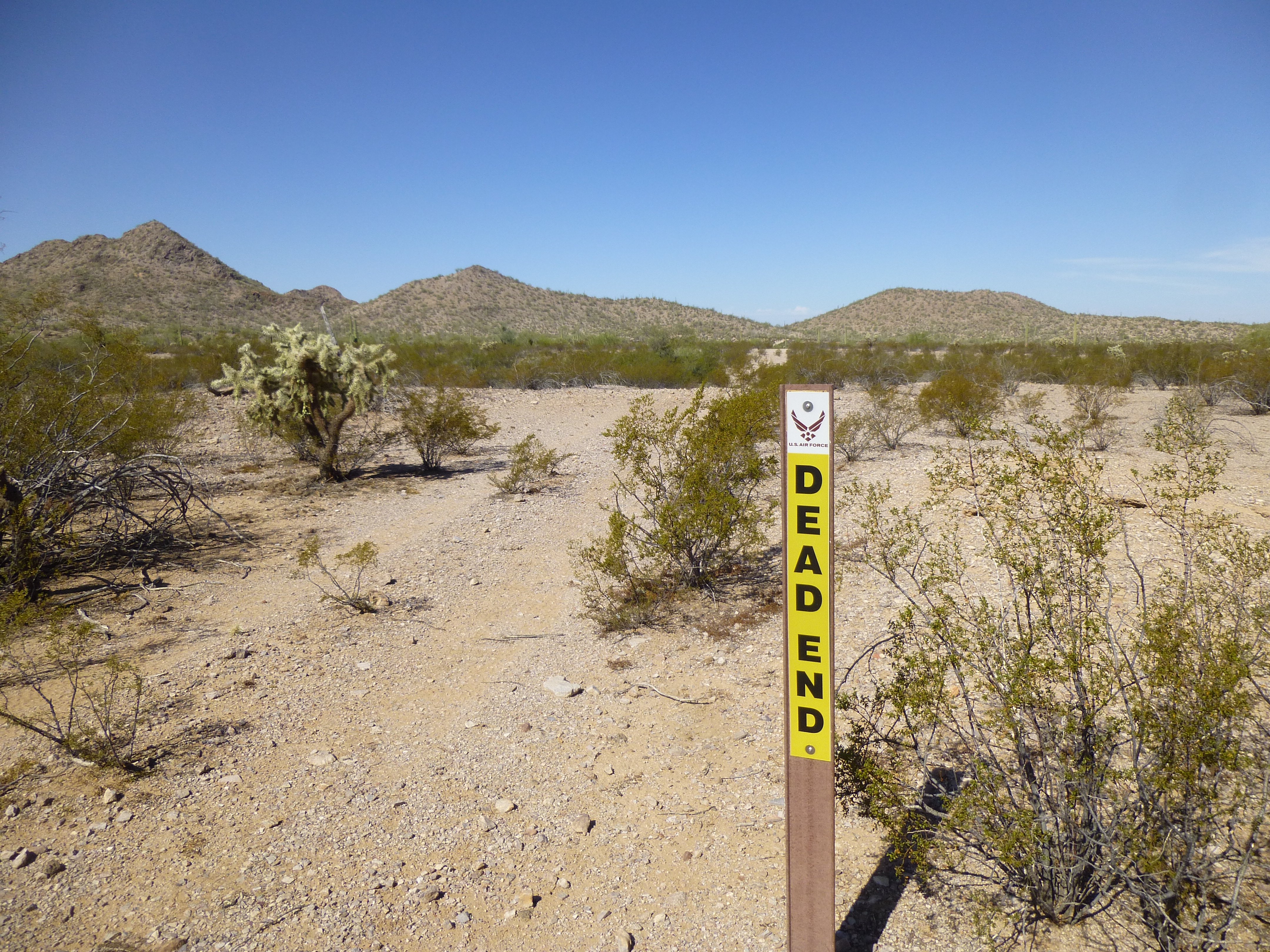
The ominous sign
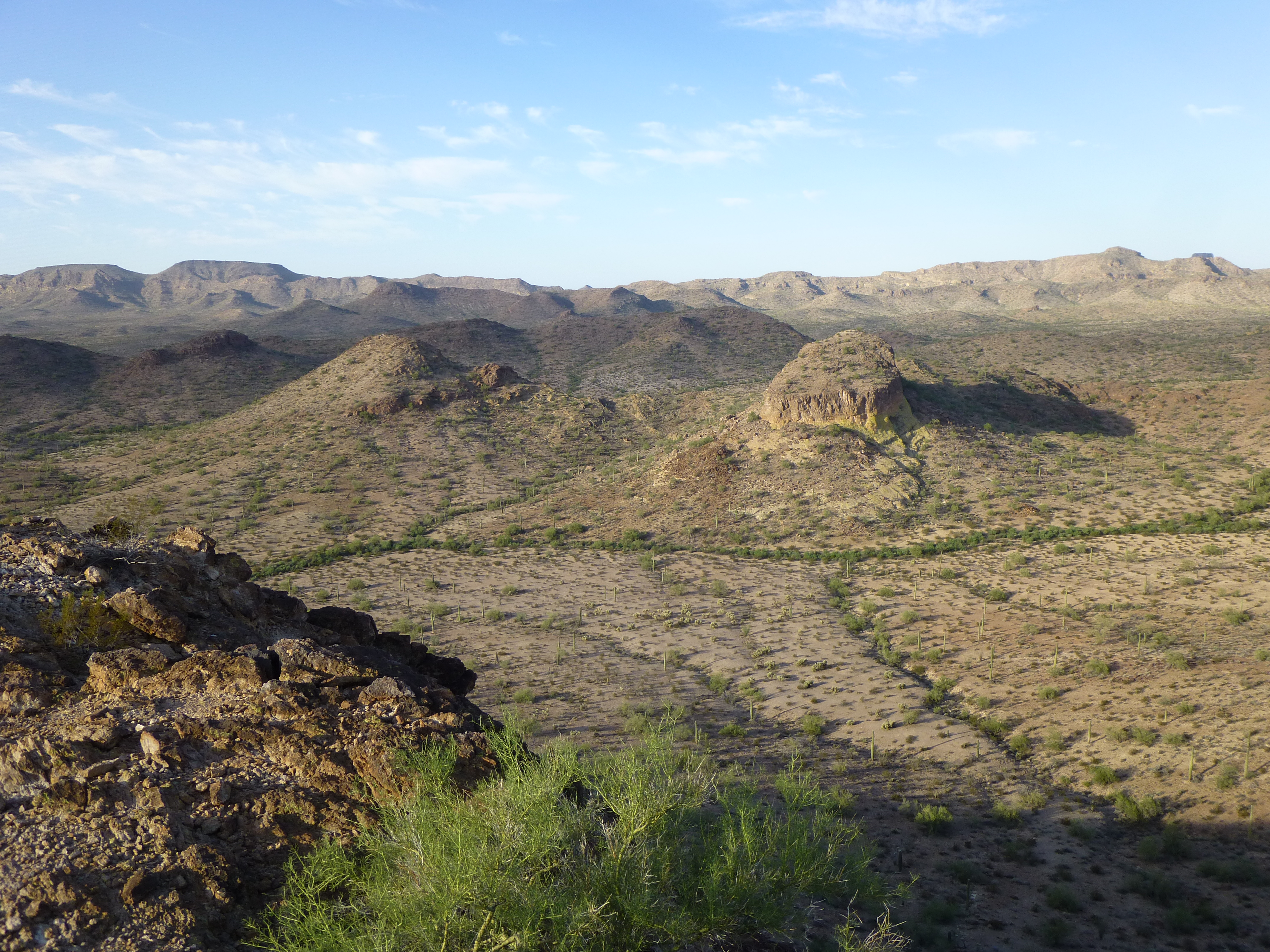
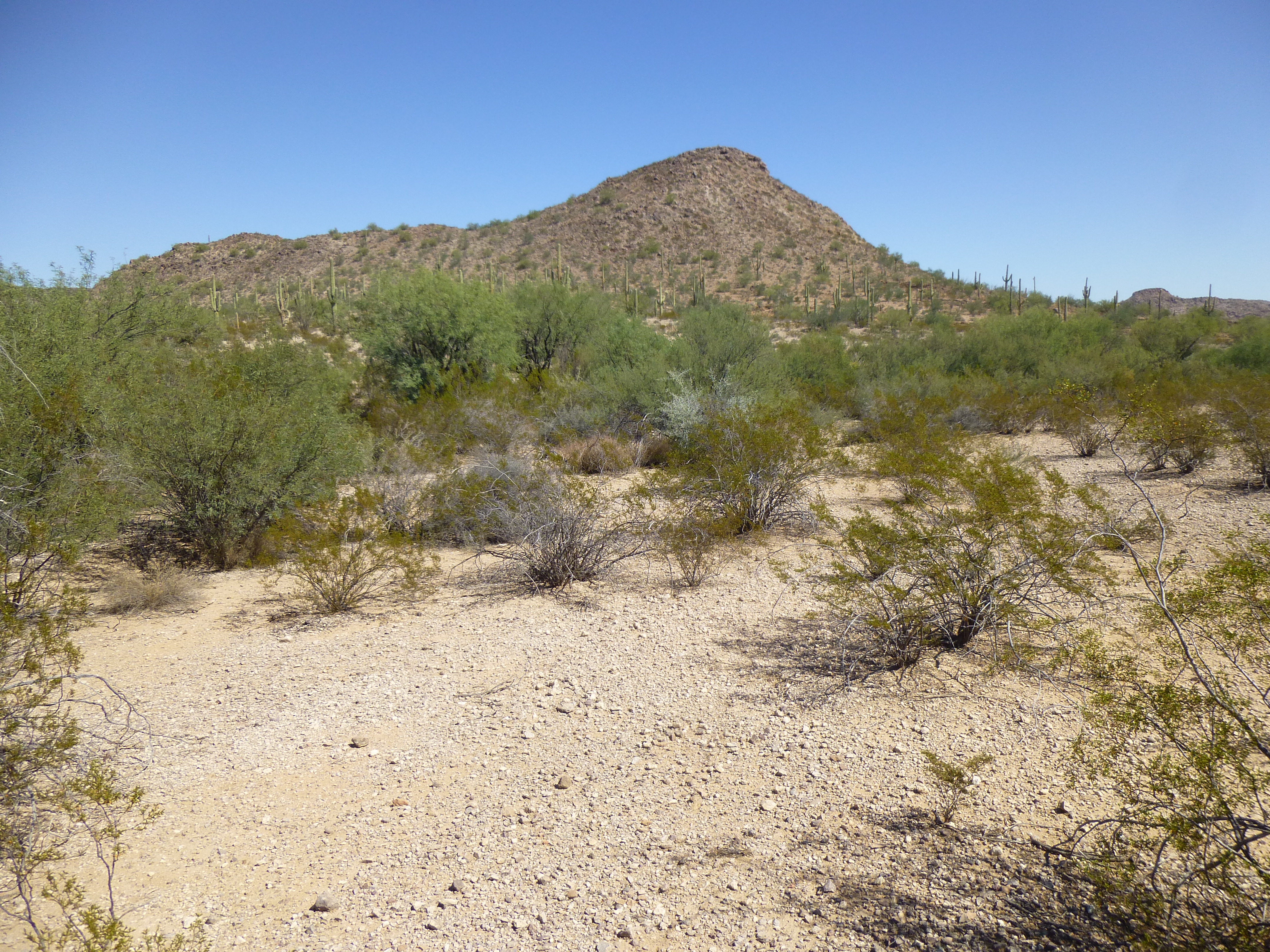
I then drove to a different area and climbed two more peaks in the afternoon, but because I still had two more to do that were part of the Quail galaxy, I was back early the next morning to put in what could well be my last day of climbing there. By the time I set out, it already felt hot – arghhh – it was going to be a long day. Here’s the view that greeted me from my parked truck.
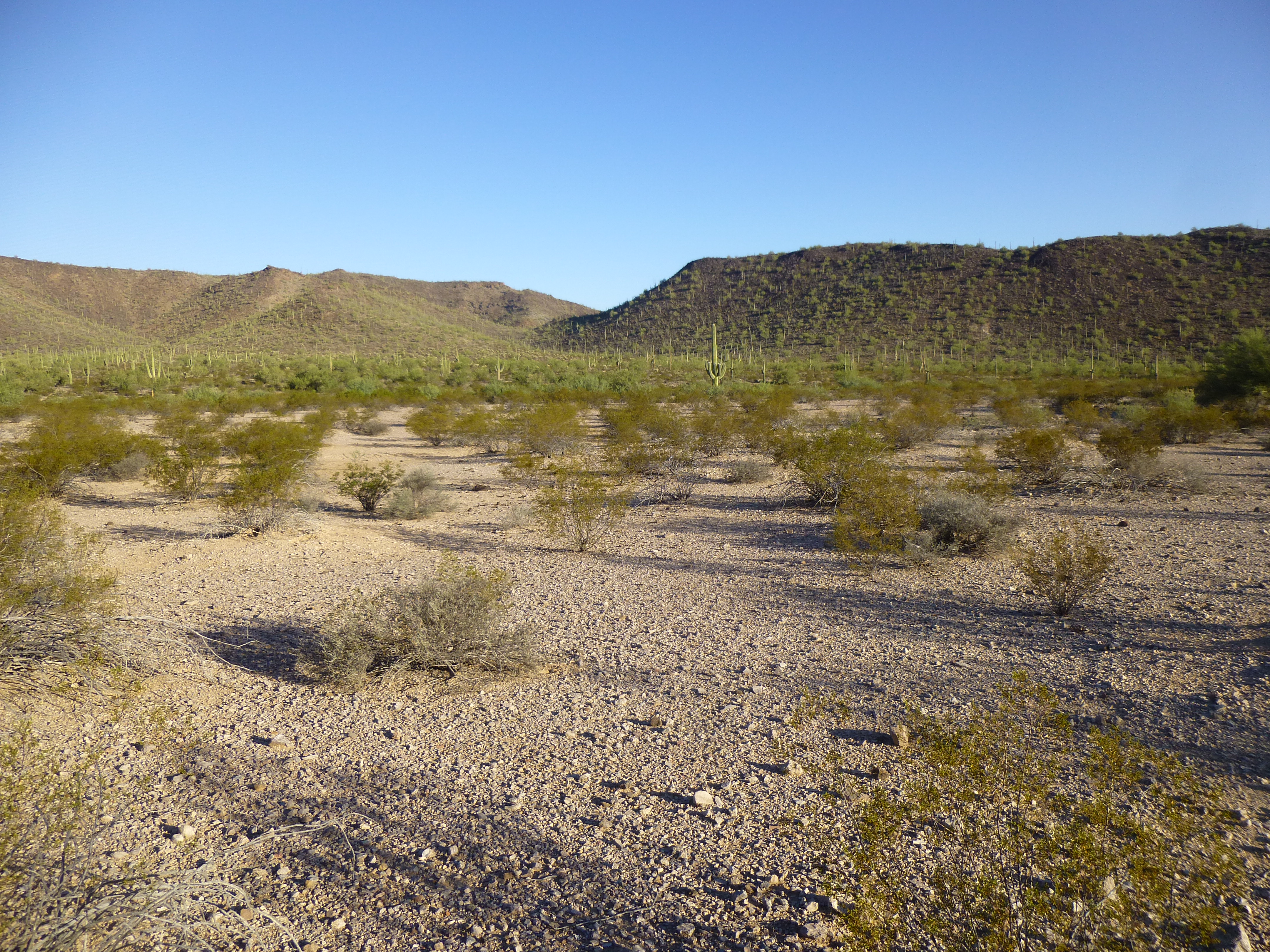
Looking northwest into the heart of Quail
In the above photo, you can see an obvious notch in the skyline – I was heading for that. The ground was flat, and soon brought me to a wash which in turn wound me up to the notch, a broad saddle. There, I hid a quart for later, as I knew it’d be appreciated in the heat. When covered by a bit of brush, it blends right in – see?
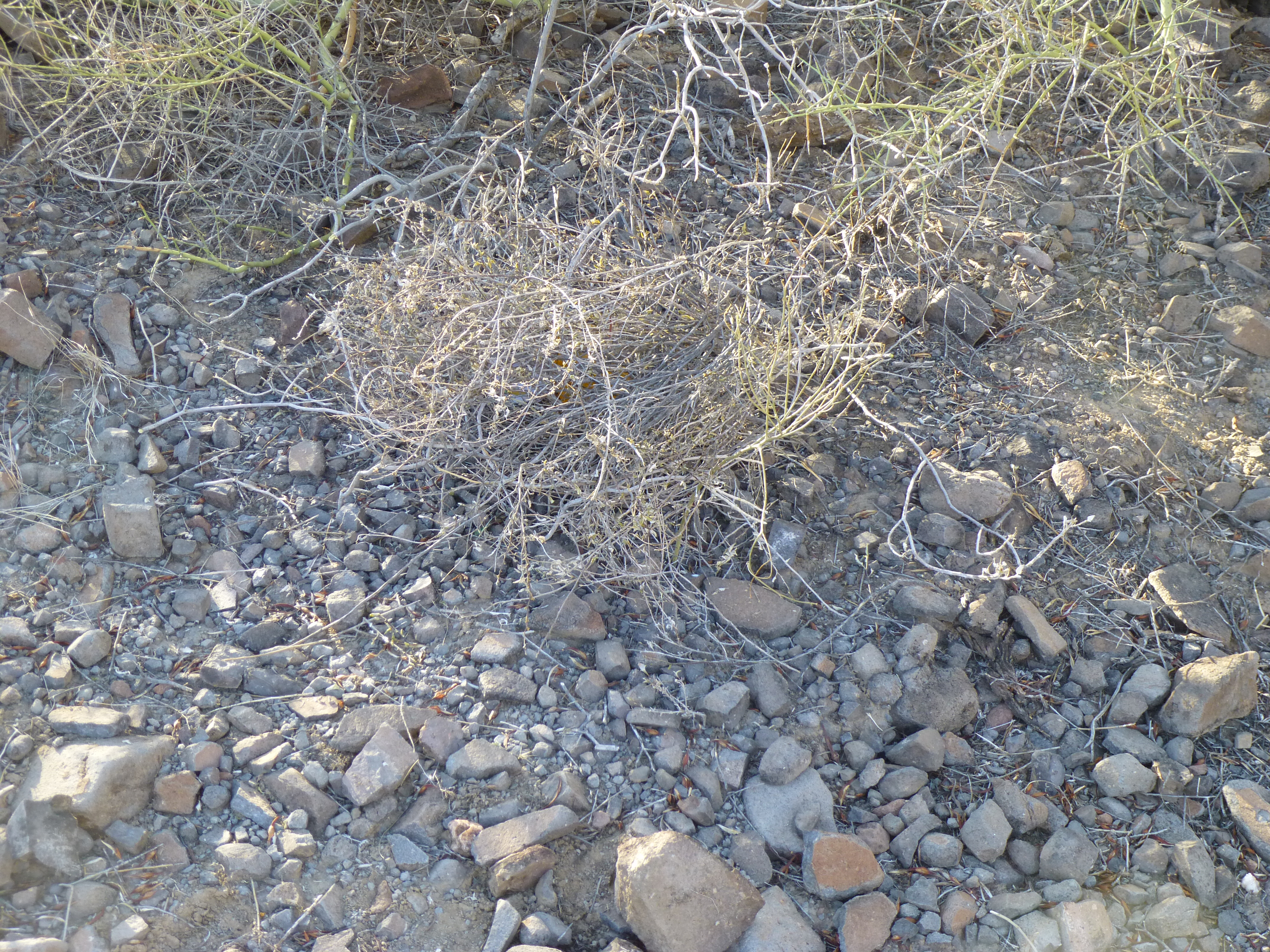
See the quart?
Once over the pass, I dropped down into a pretty valley and followed it downhill to an even larger drainage; this, I followed upstream for a bit, then headed off uphill at an angle to gain 400 vertical feet, placing me on a long, level ridge. God, it felt hot – I was soaked in sweat. My headband was so wet I had to constantly wring it out. All things come to an end, though, don’t they? I found myself on top of Peak 2422, due east of Quail. Here’s a picture of the highest rock on the summit, and in the back can be seen the top of Quail, the little bump in the middle of the photo, way in the back.

From the top of Peak 2422, looking west to Quail Benchmark
Man oh man, there was a lot of interesting military stuff out on the desert floor to the north – I so badly want to show it to you, but I’d better not, sorry. Very exciting stuff, though. As usual, no sign of any previous visit, so I left my customary summit register. It wasn’t quite a mile over to Quail, and I was tempted to visit it once more, but – nawww, it was too hot for that to be considered fun.
After 20 minutes, maybe it was 30, I re-grouped and headed down the summit ridge, then continued on to the valley below. In this next picture, I’ve drawn a pink line which shows my route out. The dashed part of the line indicates the part that is hidden from view.
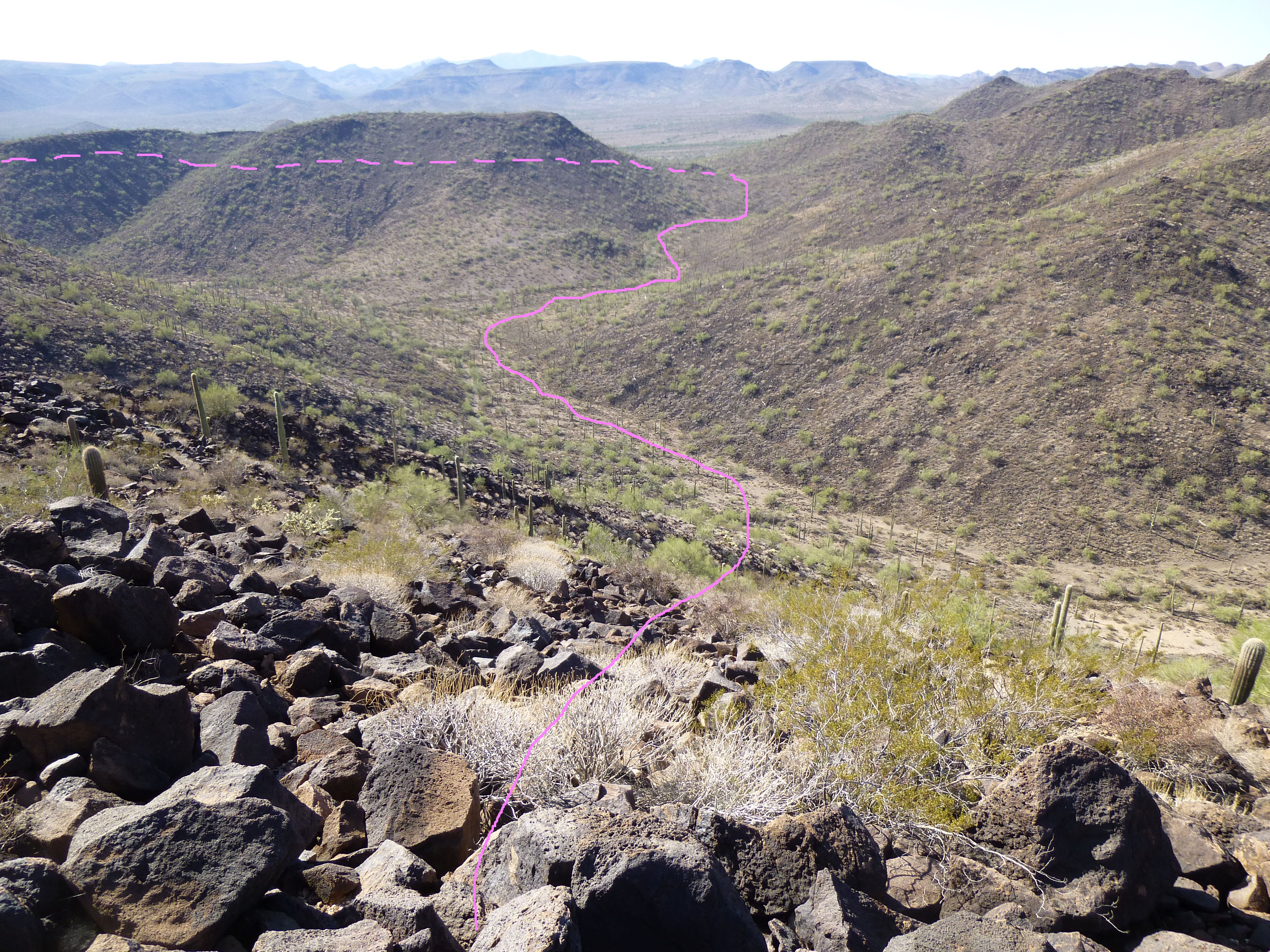
My route back out
As I covered the final stretch to my truck, there was one more thing that had to be done, one last peak to be climbed. Mark and Richard and I had discussed it briefly several years ago when we were in the area. but didn’t bother with it at the time. It had the odd name of Saw Benchmark, and sat on the east side of the Quail massif. I approached its west end and gained the summit ridge, soon reaching the 2,178′ summit. It was easy to find the benchmark itself.
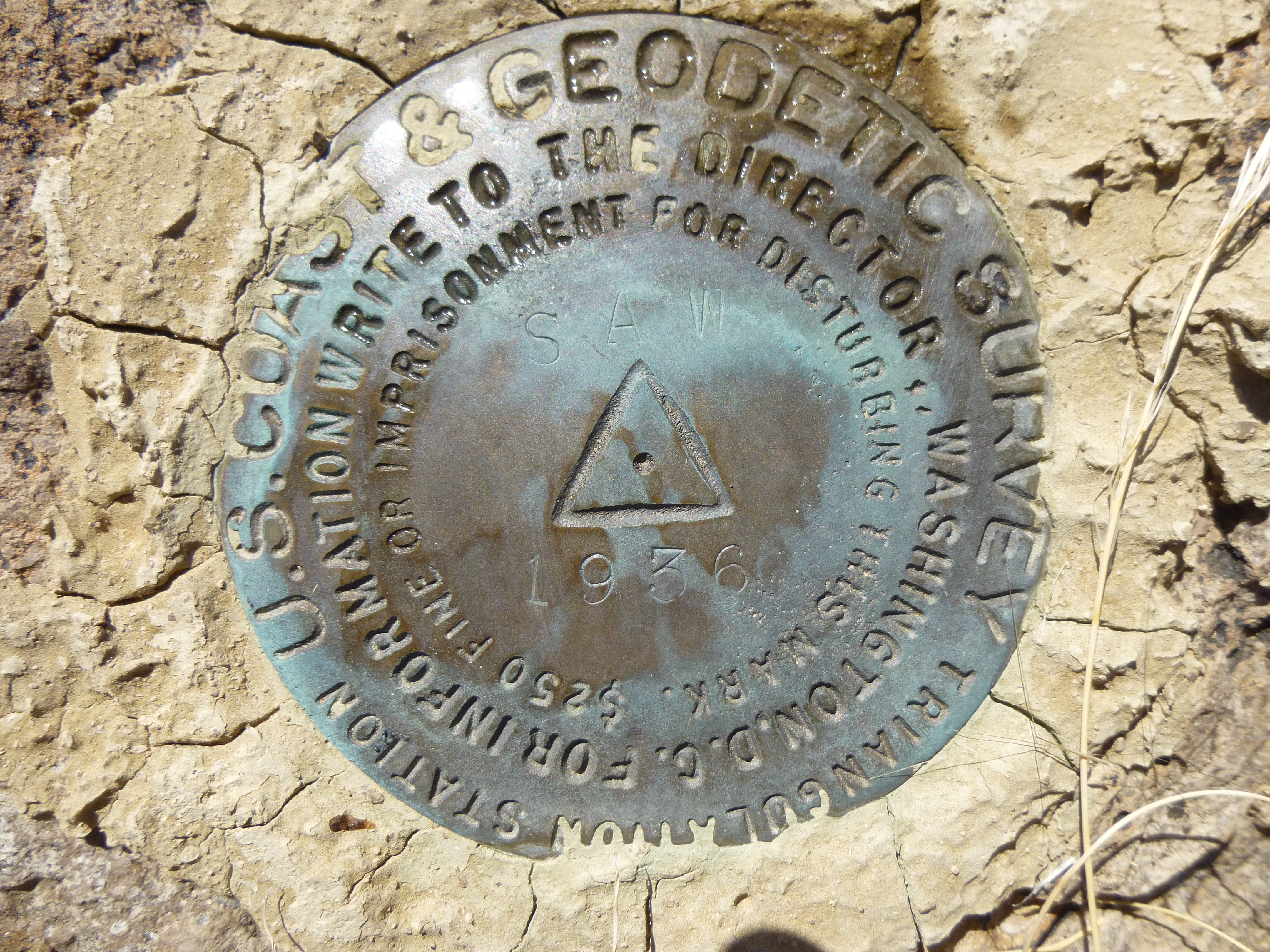
Saw benchmark
It struck me that it had been placed there a full 80 years before my visit, and had kept its lonely vigil over this remote desert.
Saw’s desert
Man, it was some hot up there! I took my time eating a snack and leaving my usual register, then slowly descended to the desert floor. A ways out, I had this one look back at Saw.
Saw Benchmark, the south side
Before long, I reached my truck. As I approached it, I could see some wires hanging down underneath it – crap! Nothing a bit of crawling in the dirt with some cord couldn’t fix, though. By then, I was done in – in the shade, a temperature pushing 100 degrees. Quail and friends had all been visited, and I couldn’t have been happier.
Please visit our Facebook page at https://www.facebook.com/pages/Desert-Mountaineer/192730747542690