
Coffee – arguably the world’s most popular drink, at least right up there with tea, and something about which the Desert Mountaineer knows absolutely nothing. I couldn’t make a cup of coffee if my life depended on it. Everybody I know, and have ever known, loves it and many couldn’t survive without it. I grew up in a family of coffee drinkers, but somehow I never caught on and never became one myself. Now if you want to learn a lot of cool stuff about coffee, you need to check out this website, www.pangranitichighway.com. Brian Rundle is a master of all things coffee and has written some very interesting pieces on the subject which are not only quite enlightening but also fun to read. Some years ago, he and I were in the midst of an amazing climbing trip together out here in the Sonoran Desert, and he decided to try out his espresso maker one morning. I have no clue how the device worked, but it had somehow to be heated up on our propane cook stove. Brian did just that, but for some reason the device and its contents exploded all over the back of the truck (it was sitting on the tailgate). He managed to scrounge a few drops of the precious life-giving nectar, which he said was about half a demitasse, or, more realistically, a demi-demitasse. Here he is enjoying what was left of his experiment.
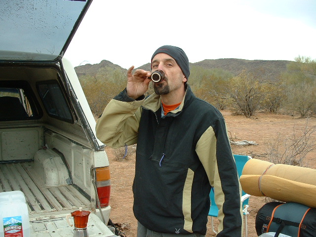
The demi-demitasse
So by now you’re probably wondering why I, the world’s most ignorant person on the subject, would be writing a piece about coffee. Well, I guess you could call it a segue to a different type of coffee, one with which I’m more familiar. There’s a peak in the Sauceda Mountains, sitting about 20 miles north-northeast of the town of Ajo, Arizona, with the unusual name of Coffeepot Mountain. At 3,466 feet elevation it is a pretty prominent peak, but more than anything else, it’s recognizable by its unusual swayback shape.
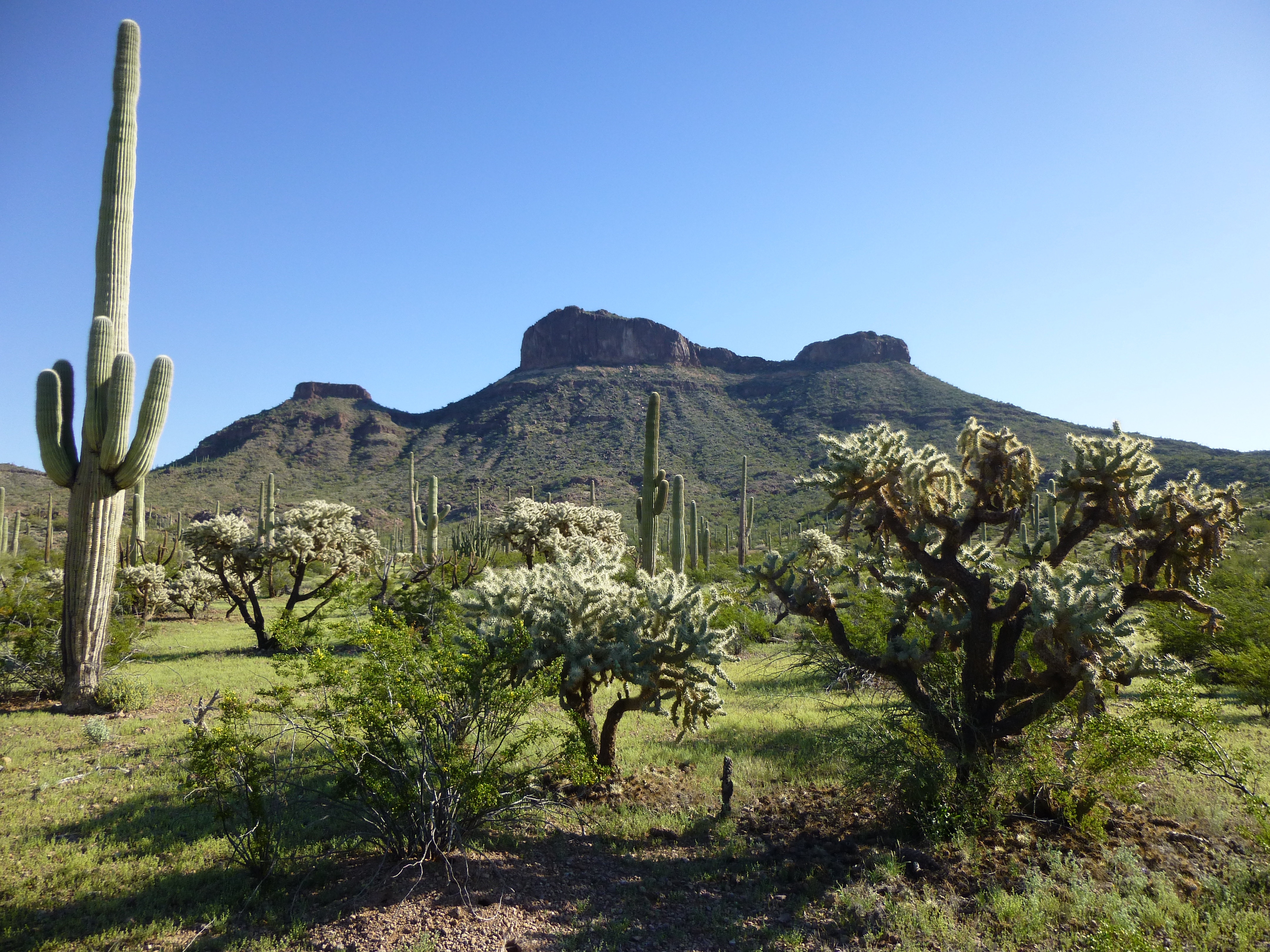
The west side of Coffeepot Mountain
I have no idea why it has such a name – even my “Arizona Place Names” book gives it no mention. Maybe some old-time rancher in the area had an experience with his coffeepot there, or maybe somebody felt it looked like a coffeepot – who knows. It’s significant enough, though, that it has a topographic quad named after it, is well-known to the locals and can be seen from some miles away.
I avoided it for many years – it didn’t present any difficulties, having been climbed by plenty of others – I guess I thought for some time that I’d save it for a list finish, but one day a while back I decided to give it a go. It was during a 9-day spell each March they call “spring break” in these parts, a time when school is out and for which I’m not paid a dime, that I decided to head into the hills. It was a Saturday, the 14th to be exact – I had just camped nearby the night before, and in the morning drove one of our typically-rough desert roads to find myself stopped a mile southwest of the peak.
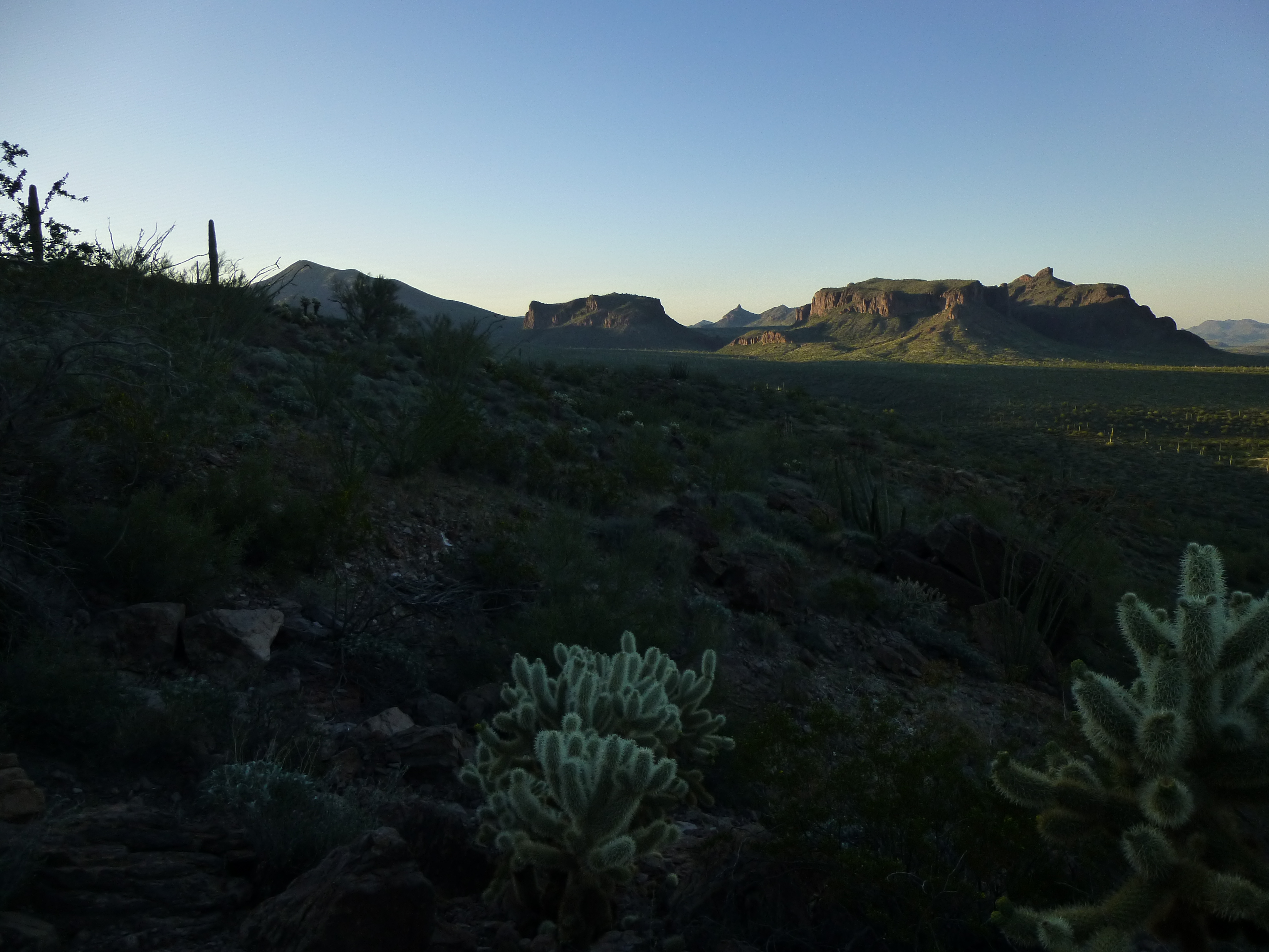
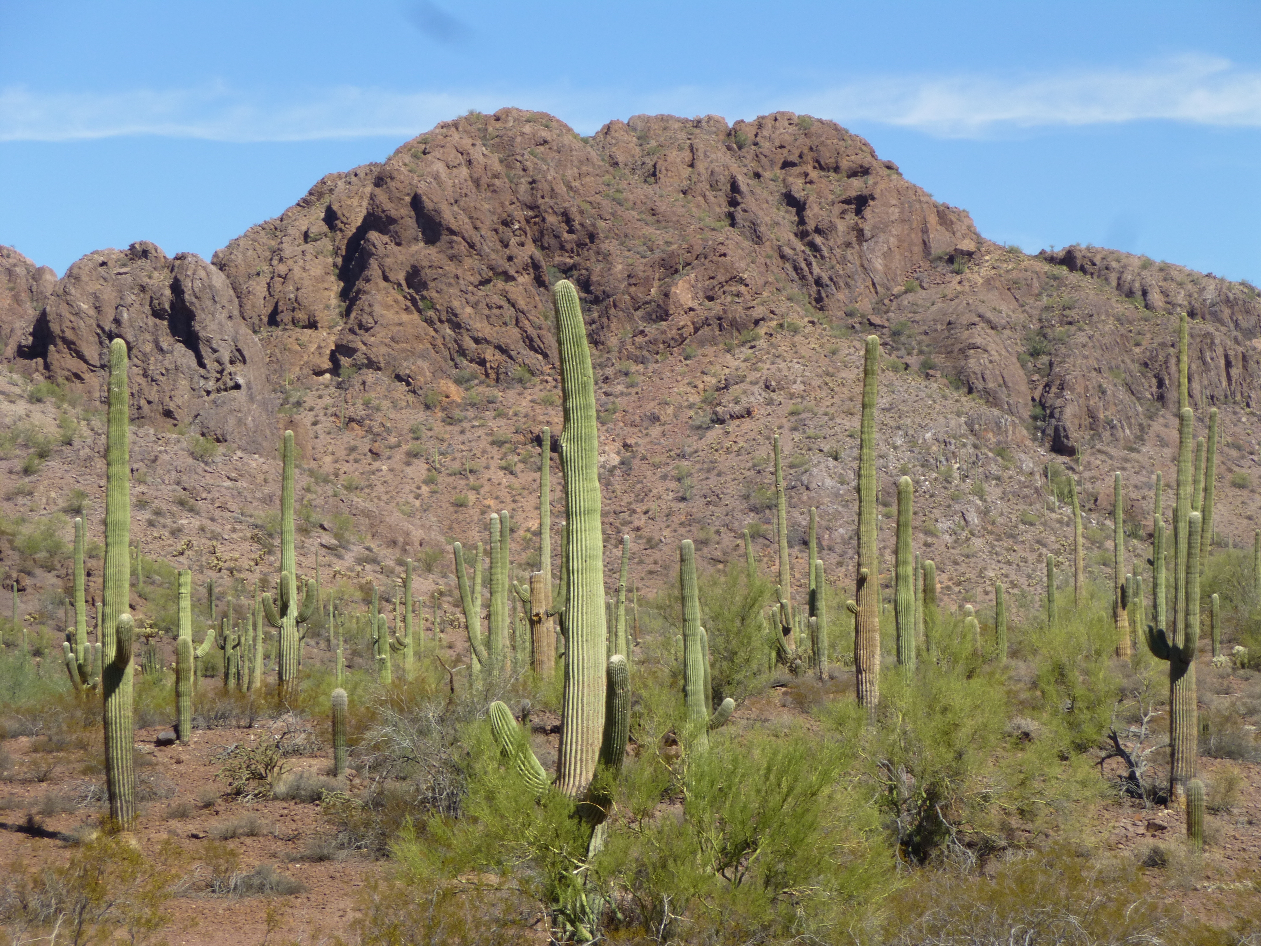
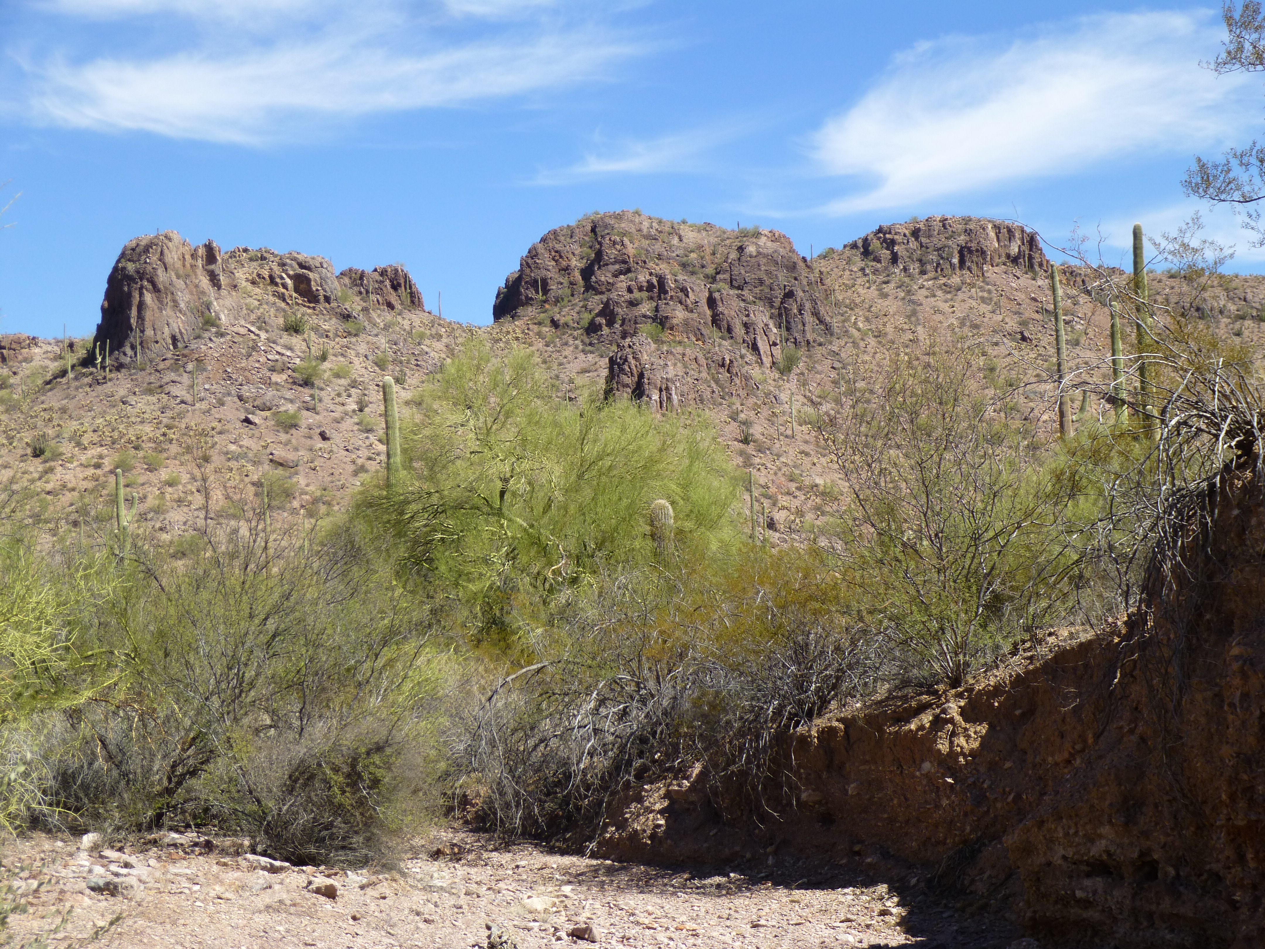
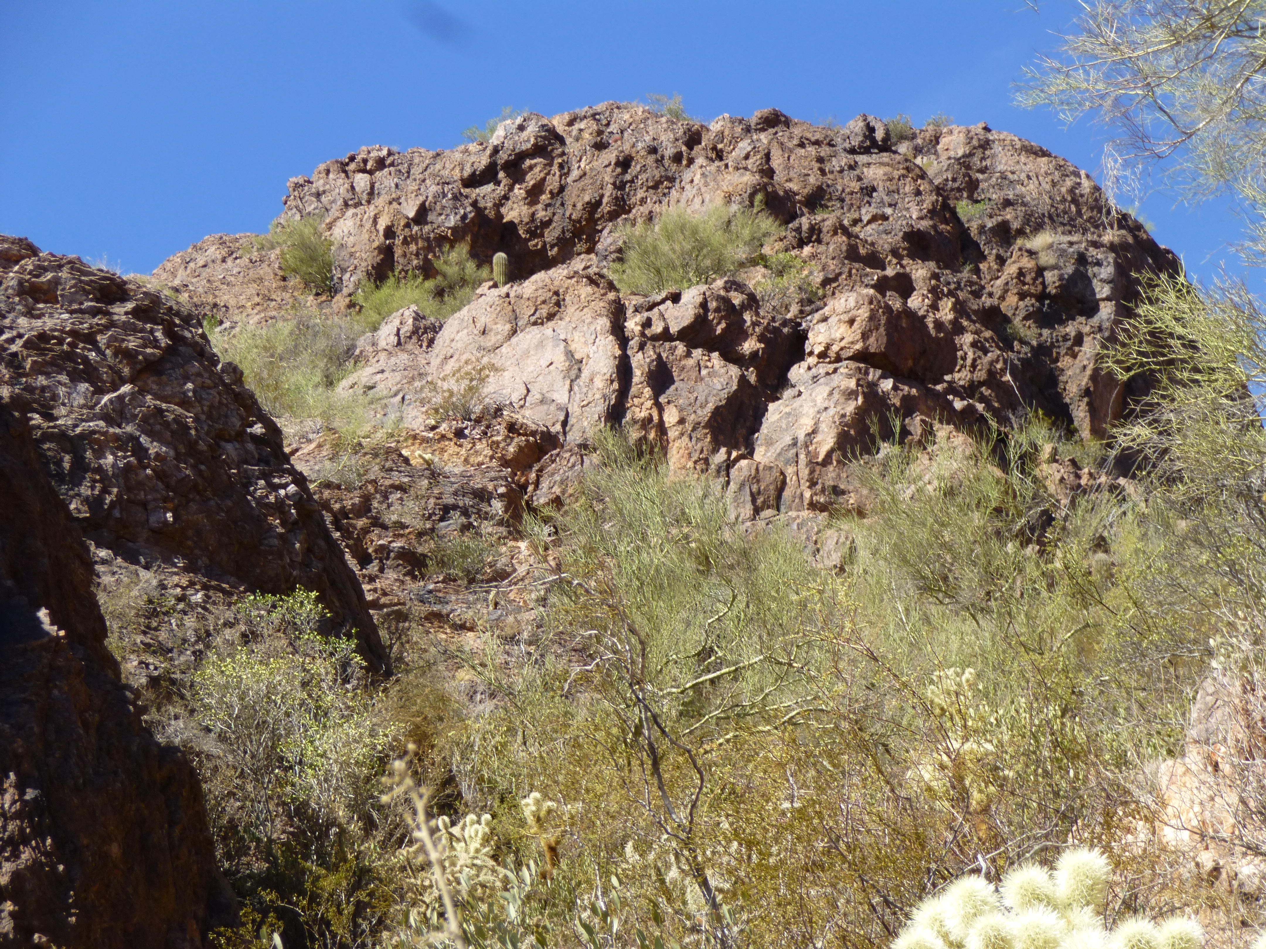
The desert near the peak, in the early-morning light.
It was ten to seven by the time I set out, heading directly for the major saddle in the middle of the peak. There were a few easy cliffs to surmount en route, but once I reached the saddle, it was a nice ridge walk to the north to reach the highest point on the mountain. There I stood on the summit of Coffeepot Mountain, and it was just after eight o’clock.
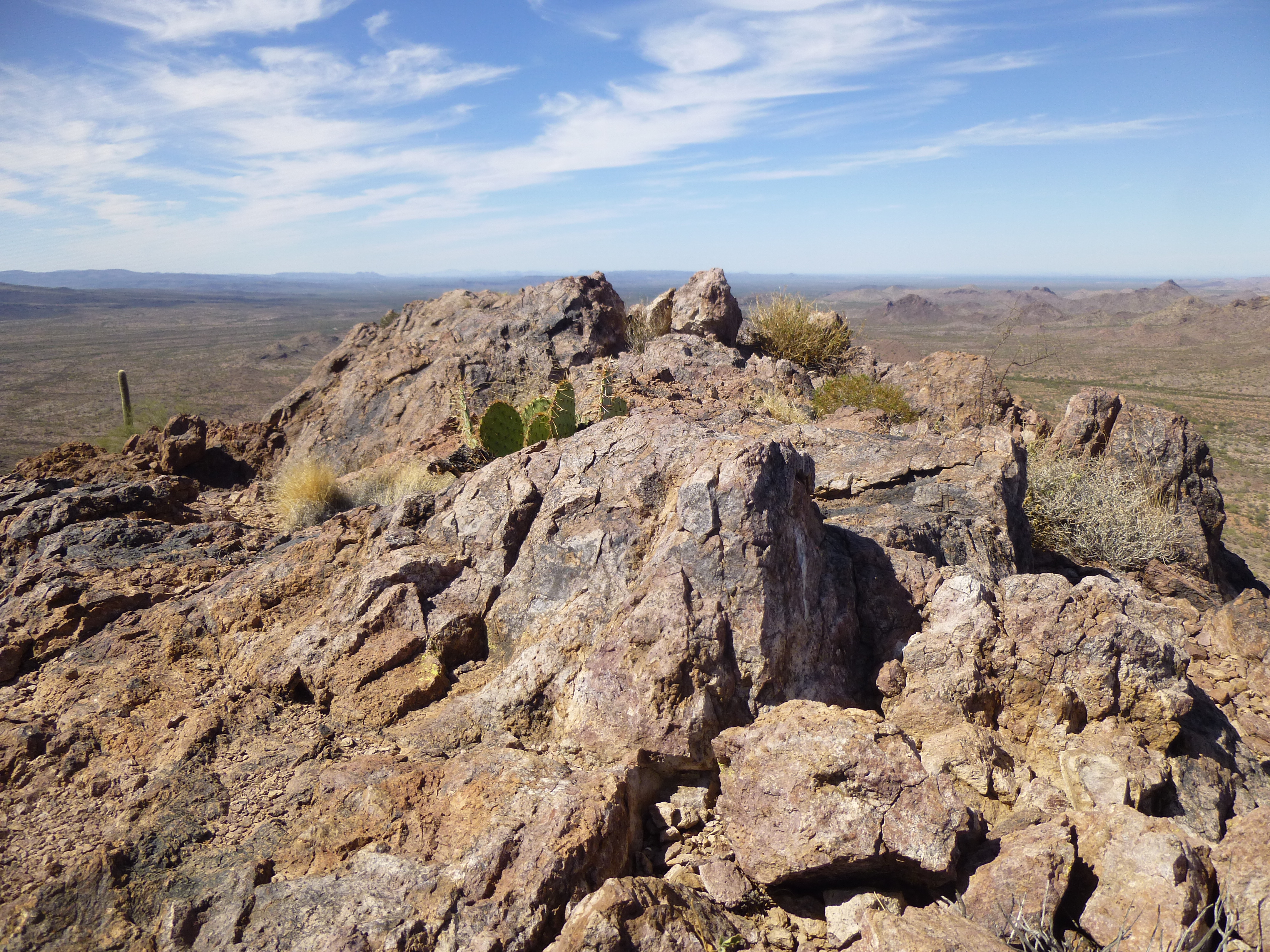
Looking north along the summit ridge.
The register had plenty of entries, and many of them had been left by my friends. There is a small population of rabid peakbaggers in the state, and their names are the ones I’d expect to find. A few locals from Ajo pretty much rounded out the list.
I sat awhile and soaked up the view. After almost 30 years of driving past it, it felt good to finally be sitting on the summit. The peak had a lot of prominence, resulting in outstanding views over the surrounding Sauceda Mountains.
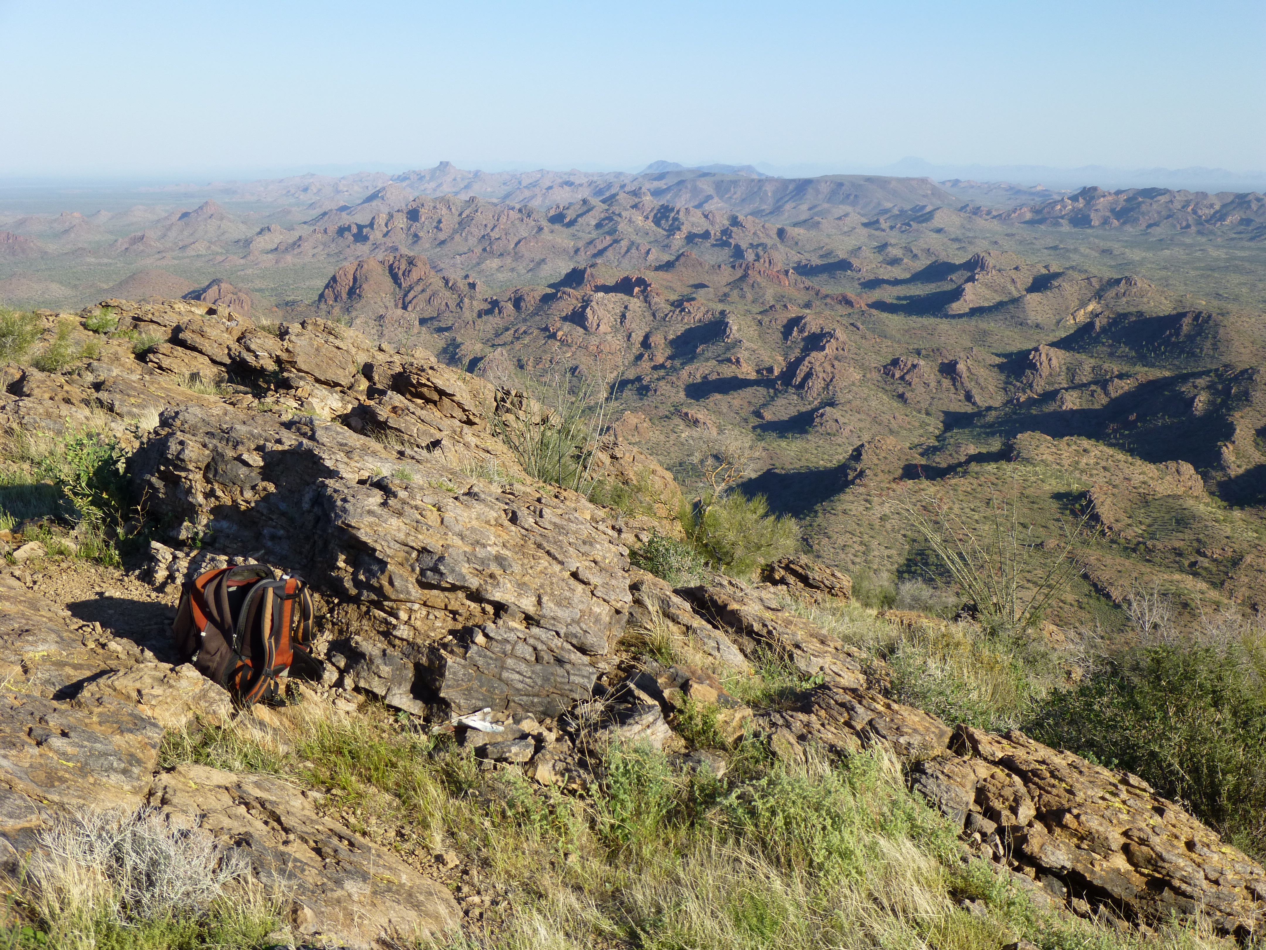
Looking northwest over many Sauceda peaks
My descent avoided a few of the tricky bits, and I was back down to my truck 2 1/2 hours after I’d started.
A year and a half passed. I was back in the area climbing more of the amazing peaks in that part of the range, and one in particular had held my attention for a year or so. I had seen it from several different angles, and had been as close as three miles, and it hadn’t looked encouraging. It looked steep and well-guarded, and there was no obvious way up it. Only a closer look would show me a possible route to the top. In the next photo, it is the big one on the right. This picture was taken six months earlier, and from a completely different angle than my approach on the day I actually tried it.
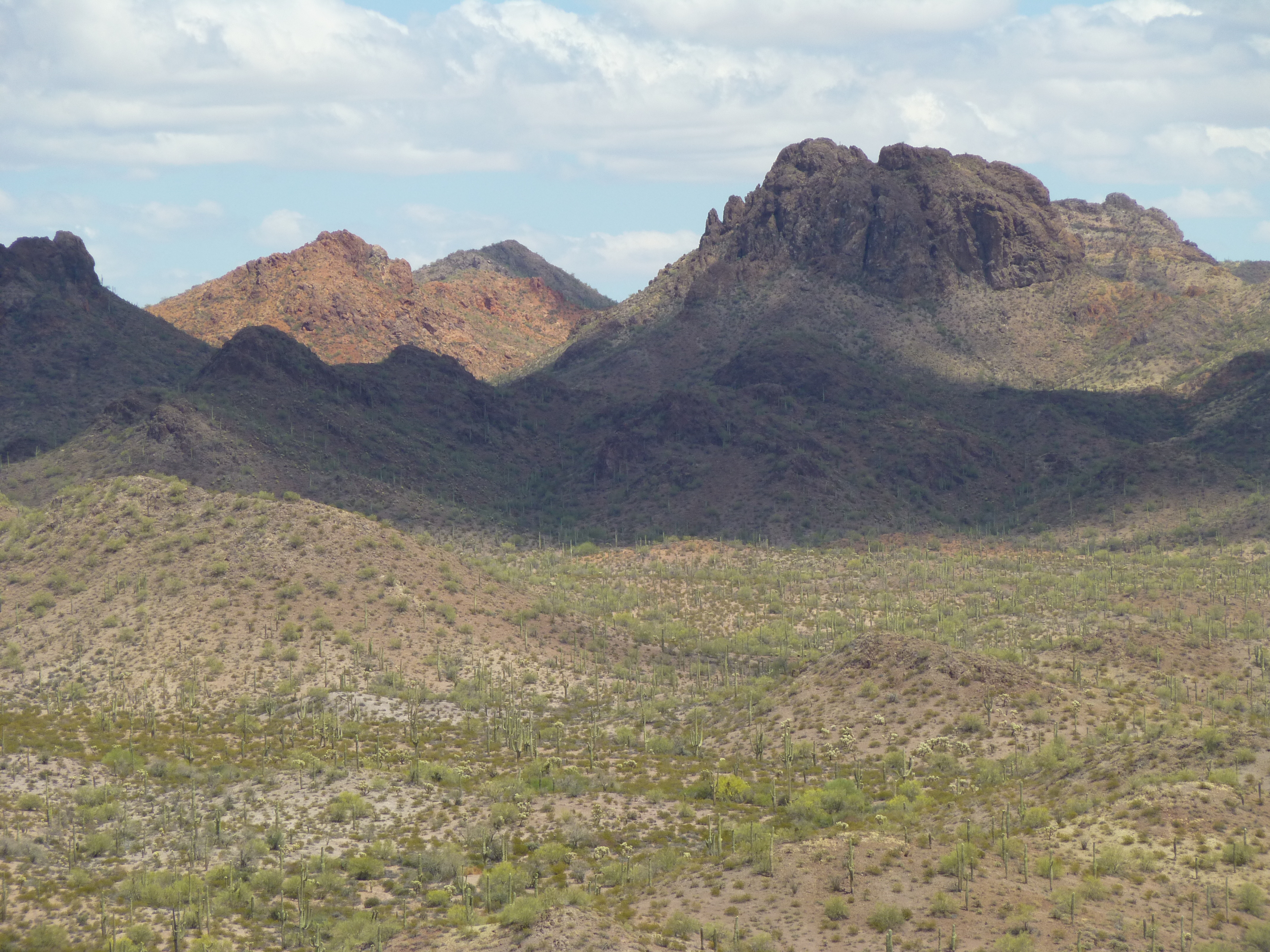
A telephoto shot of the mysterious peak as seen from the west
On Monday, October 10th, I drove as close as I could to it and parked. I had driven some rough miles in four-wheel-drive with the air-conditioning blowing hard, and when I opened the door a blast of heat hit me, even though it was only late morning. That did not bode well for a comfortable day – if it felt this hot now, what was in store later on? I was in a large, wide, sandy wash, but I didn’t want to park there – something less visible, even a little bit, would go a long way towards making me feel better about walking away from my truck, my lifeline out here.
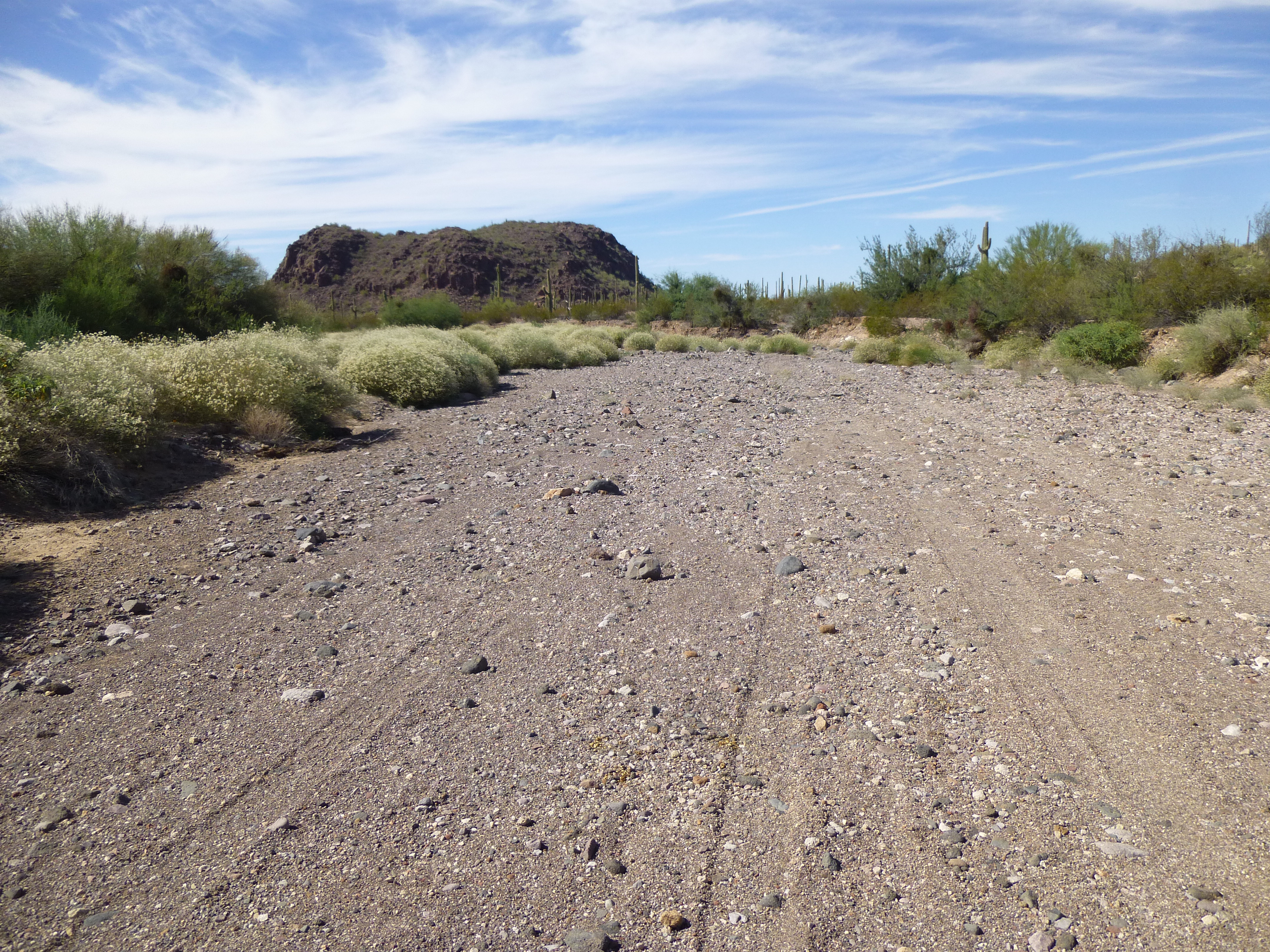
The wash which serves as a road
This was an area well-known for the number of Bad Guys operating here, armed thugs who work for the Mexican drug cartels who run drugs and border-crossers north to the big U.S. cities. Having them steal my truck was a huge concern, so I took steps to disable it every time I parked. I pulled off into a vegetated alcove, just big enough for my truck, and got ready to leave.
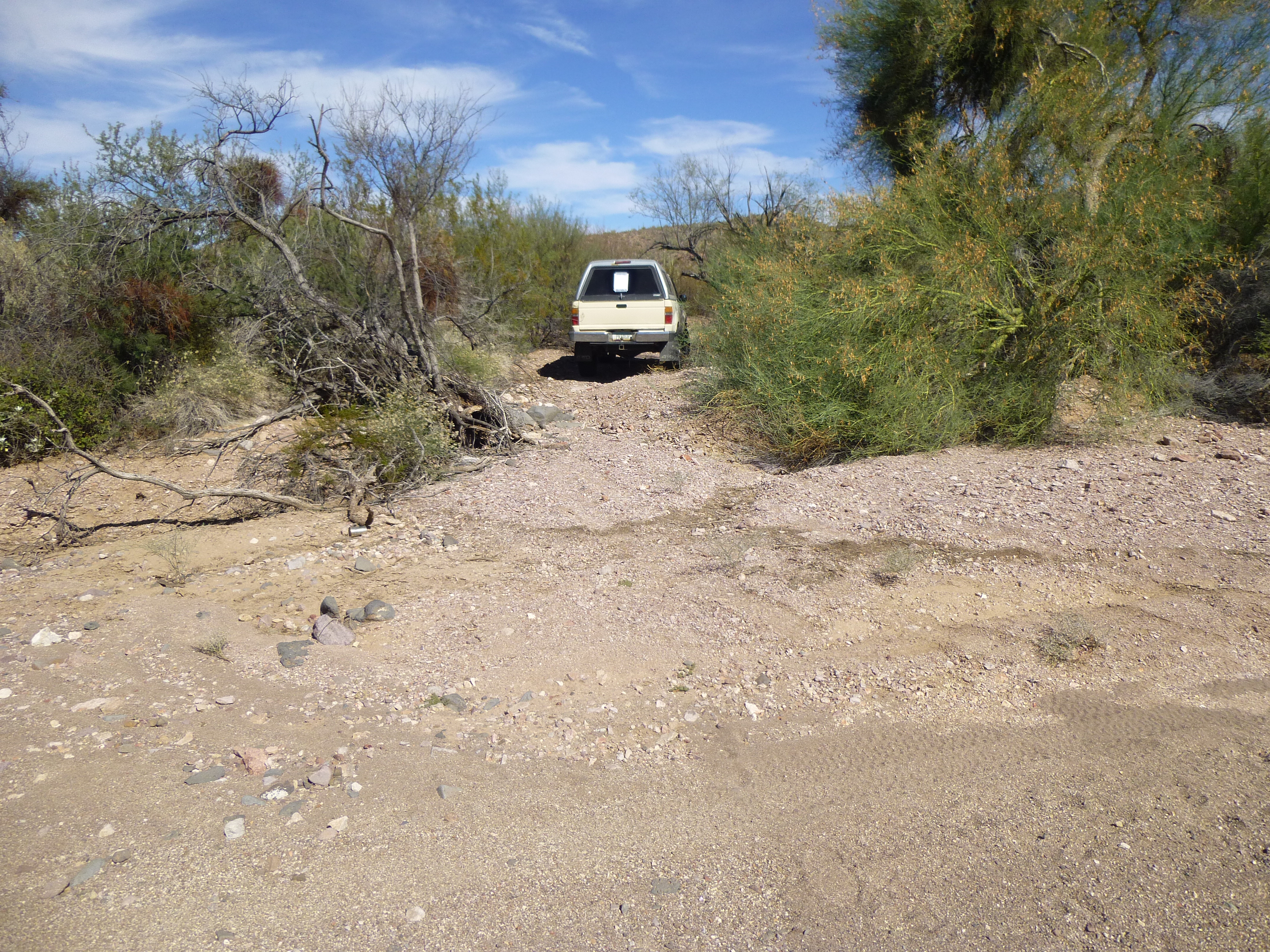
My parking spot
As I walked away, I was already sweating profusely, rivulets running down my chest and back. It it weren’t for the sweatband I wore, I wouldn’t’ve been able to see straight for the sweat running into my eyes. There was no point hurrying, I had all day, and the heat slows you down anyway. I was walking up a very flat, sandy wash and enjoying the scenery.

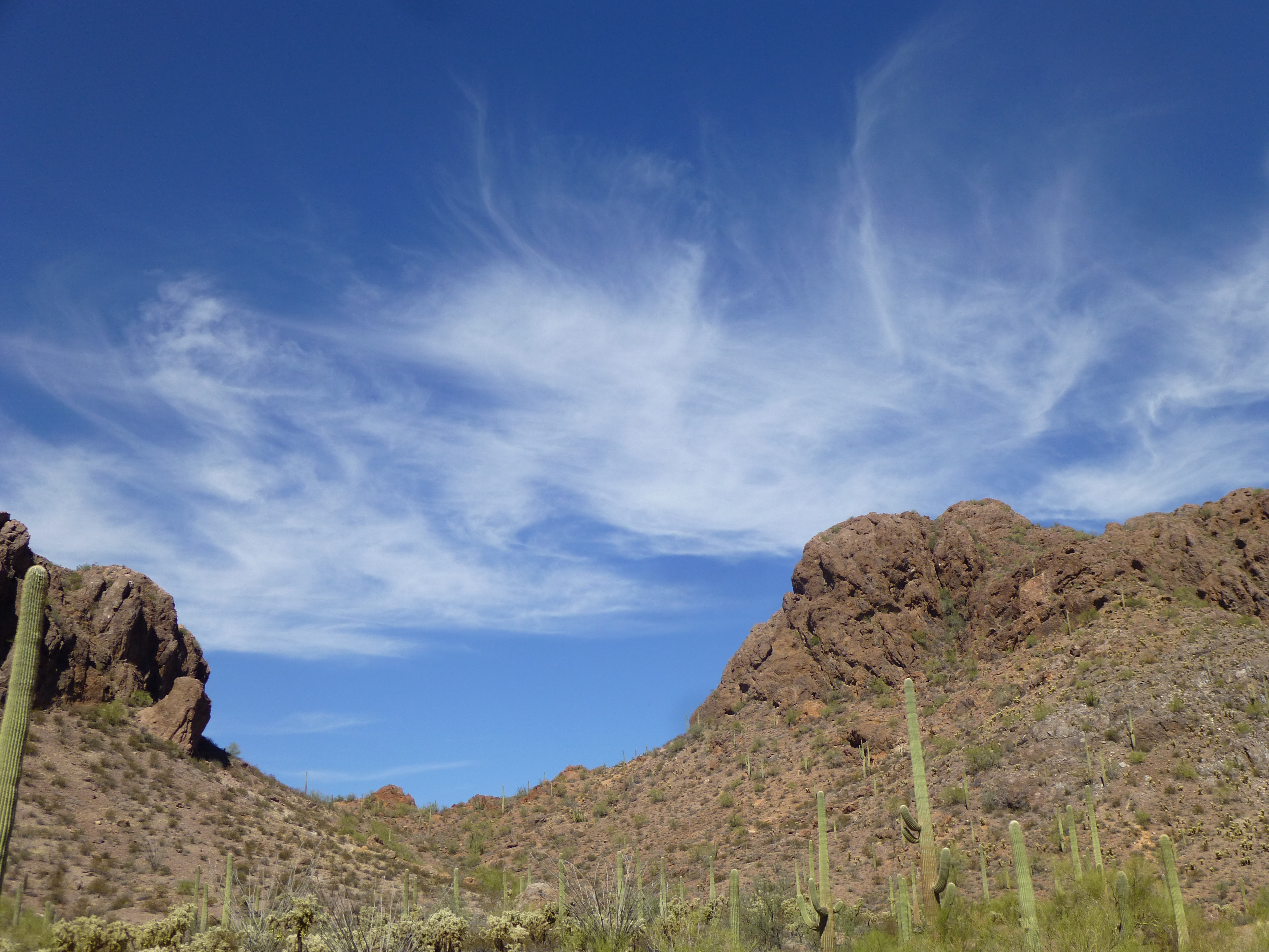
My first good view of the peak, looking north
My route went north, then east, and after an hour, I turned north again. By this point, I had the first unhindered look at my peak. Only now could I see it clearly with nothing in the way. Hmmm, maybe that east ridge would go – only time would tell.
A closer look – the east ridge comes down the right-hand side
I had brought plenty to drink, and stashed a quart under a tree on a little knoll. I always mark the spot with my GPS, in case heat or injury or anything else might affect my memory later on. To this point, I had only gained 200 feet elevation since leaving my truck. Along the way, I saw this large spider-web, about two feet across – these were common, I probably saw a hundred of these on the climb.
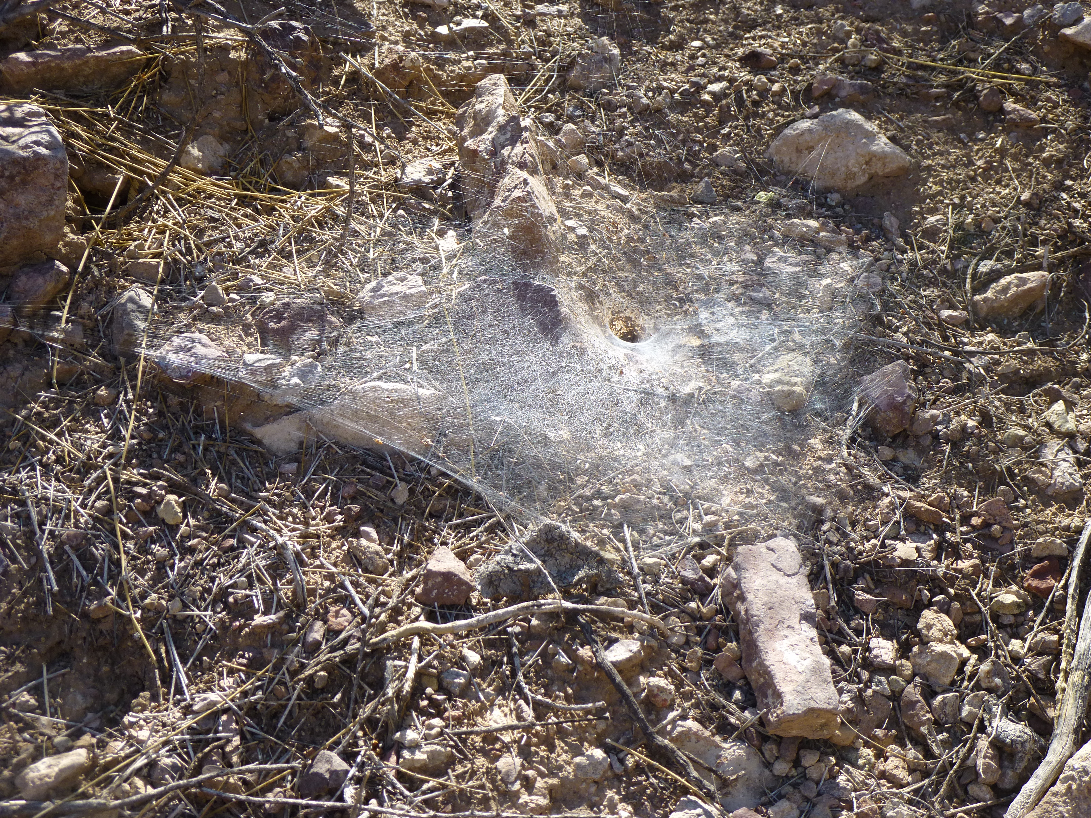
Spiderman lives here
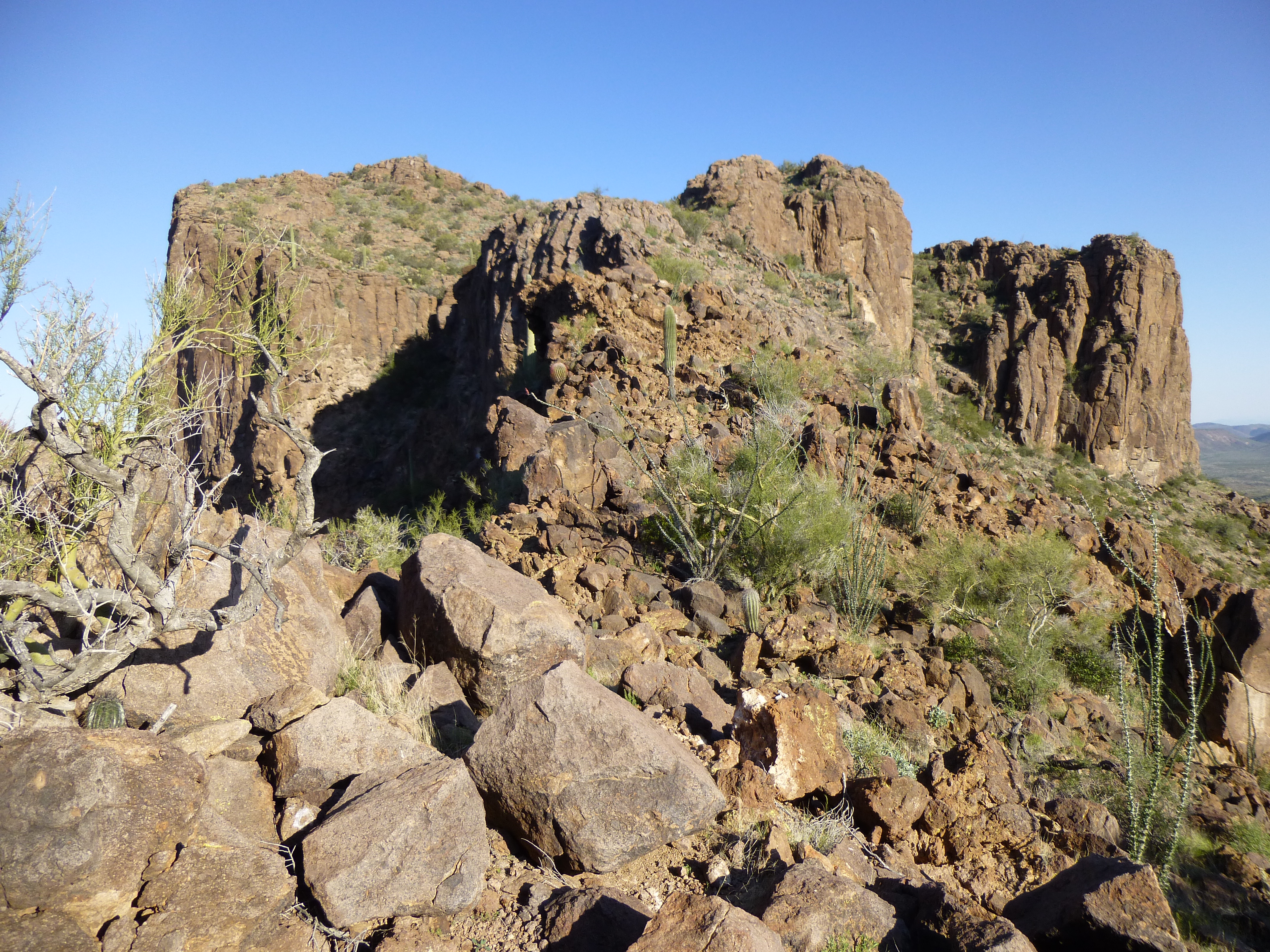
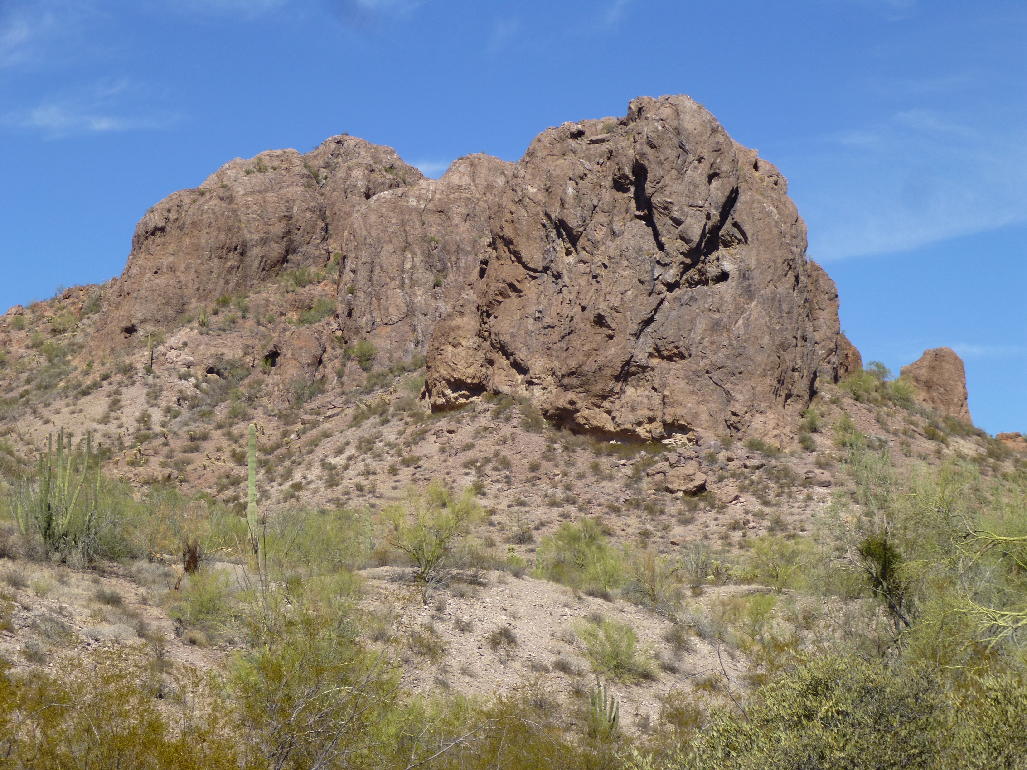
In and out of gullies, I slowly gained elevation as I approached the ridge. I was struck by the array of steep rock all around me – the valley was encircled by dramatic little peaks on 3 sides. Check out some of these.
A bluff near my peak
Another one
And yet another
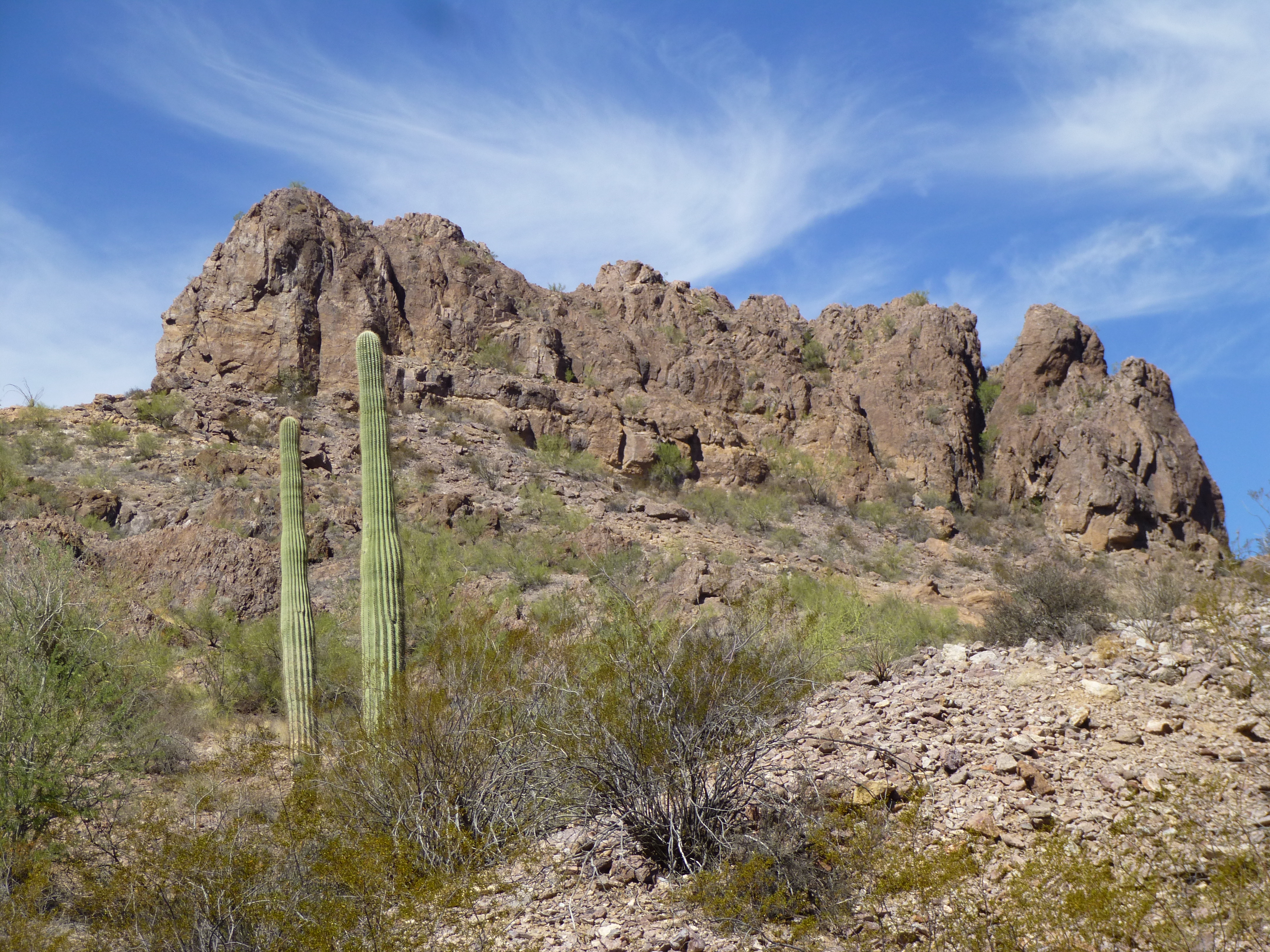
I was heading for the saddle you can see in this next photo.
The next step
As I climbed up the slope to the saddle, I came across this pack-rat nest. These amazing creatures have the ability to gather hundreds of pieces of the dreaded Teddy-bear cholla cactus to act as a defense for their home. This nest was about 8 feet across.
The pack-rat nest
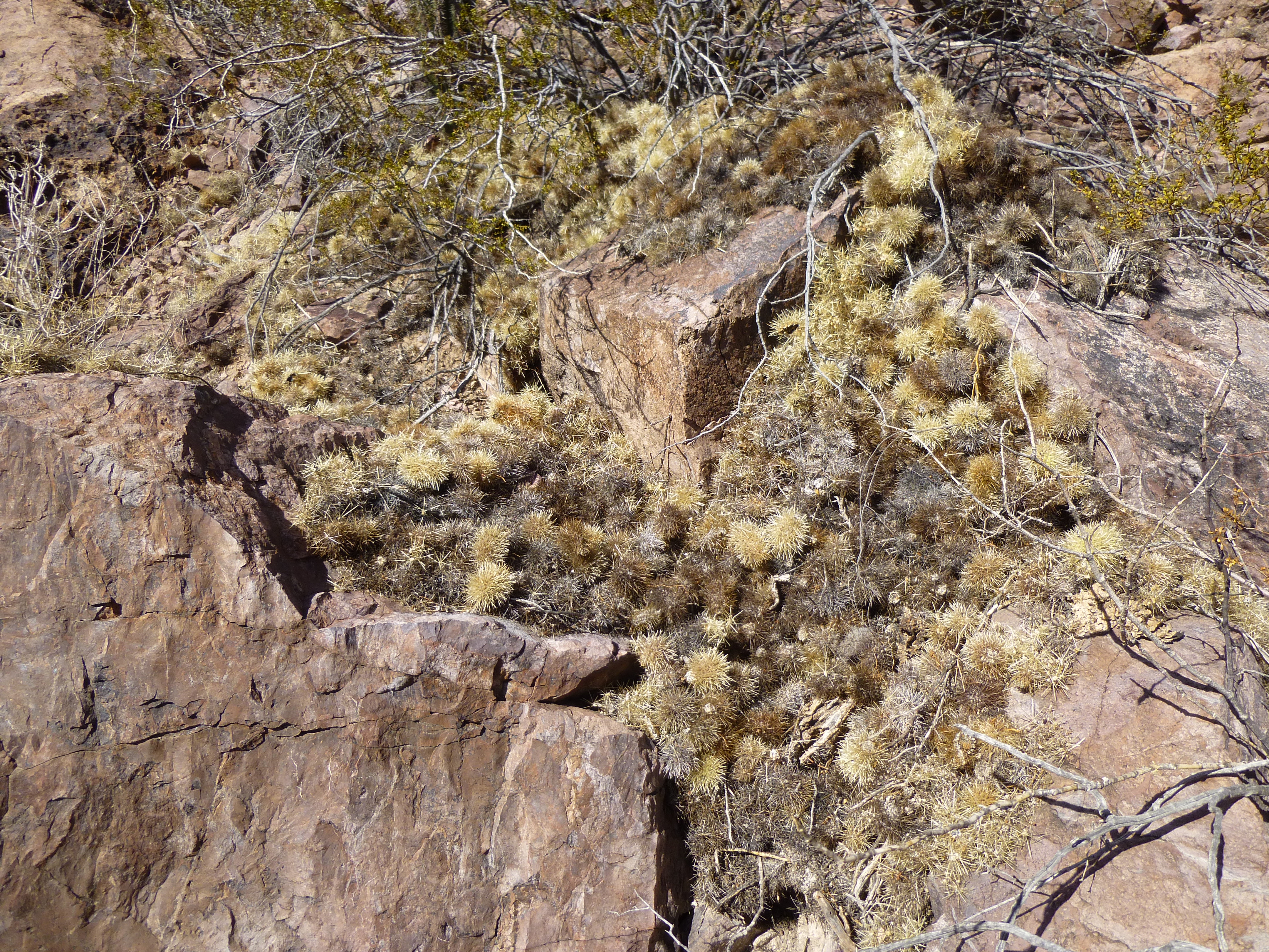
At around 2,560 feet, I reached the east ridge which descended steeply from the summit. As I turned left, I had to climb up through an infestation of Teddy-bear cholla cactus, the nastiest denizen of our desert. You do not want to tangle with one of these, you’ll always lose.
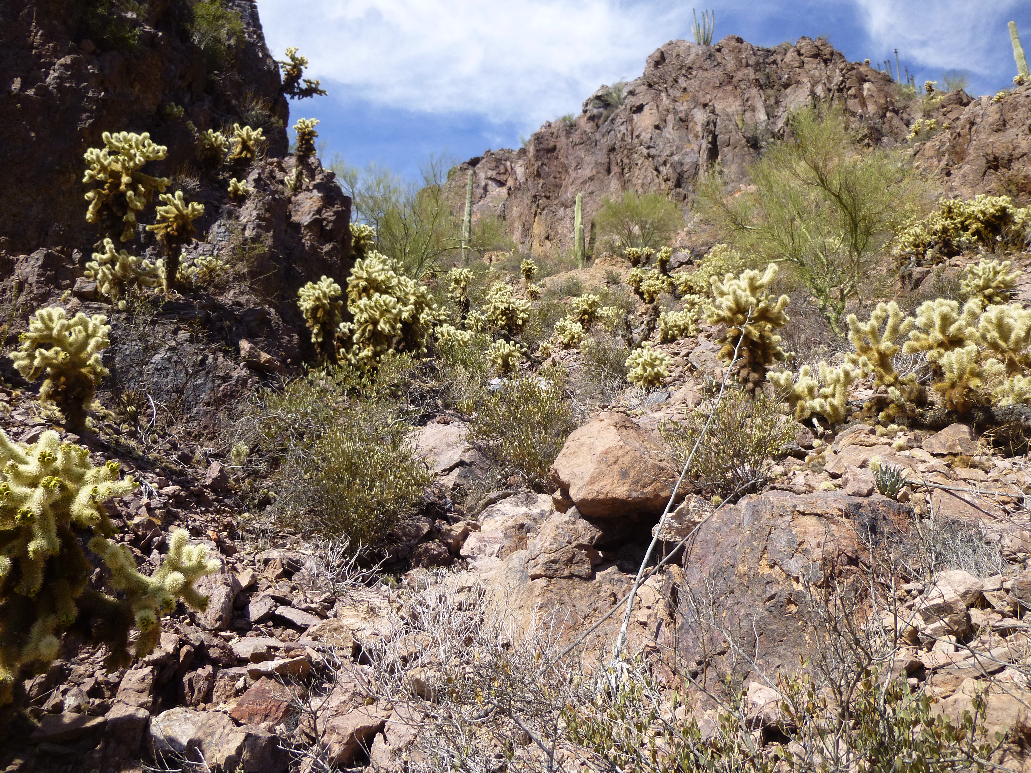
Beware – chollas. Tread softly.
Climbing a ridge like this, you keep hoping it’ll go, that you won’t run into a stopper. I knew I was getting close, and I was still moving up, so that was a good thing.
Looking farther up the ridge
When you’re climbing an unknown peak by an unknown ridge and you’re alone, you just don’t know what lies ahead. You could find yourself staring down into a sheer-sided gap that you couldn’t negotiate by yourself; you might be able to continue but might have to drop down dozens of feet and then climb back up again to continue, or hundreds of feet, or, God forbid, a thousand feet or more on a big peak. Or, you might not be able to continue at all due to some technical difficulty, but fortunately that is rare.
The ridge leveled out, and now the end was in sight. A bit of airy scrambling took me the last of the way to the summit of Peak 2782. Good news, nothing worse than Class 3 all the way up the ridge. I got lucky, it could have been worse. It was just tricky enough that nobody had bothered to try it before me, so I knew I was stepping on to a virgin summit – there was no sign of any prior visit. No scrap of trash, no rock stacked on top of another. Bad Guys don’t usually try to reach the tops of the more difficult peaks, it’s just not worth the risk to their inexperienced selves.
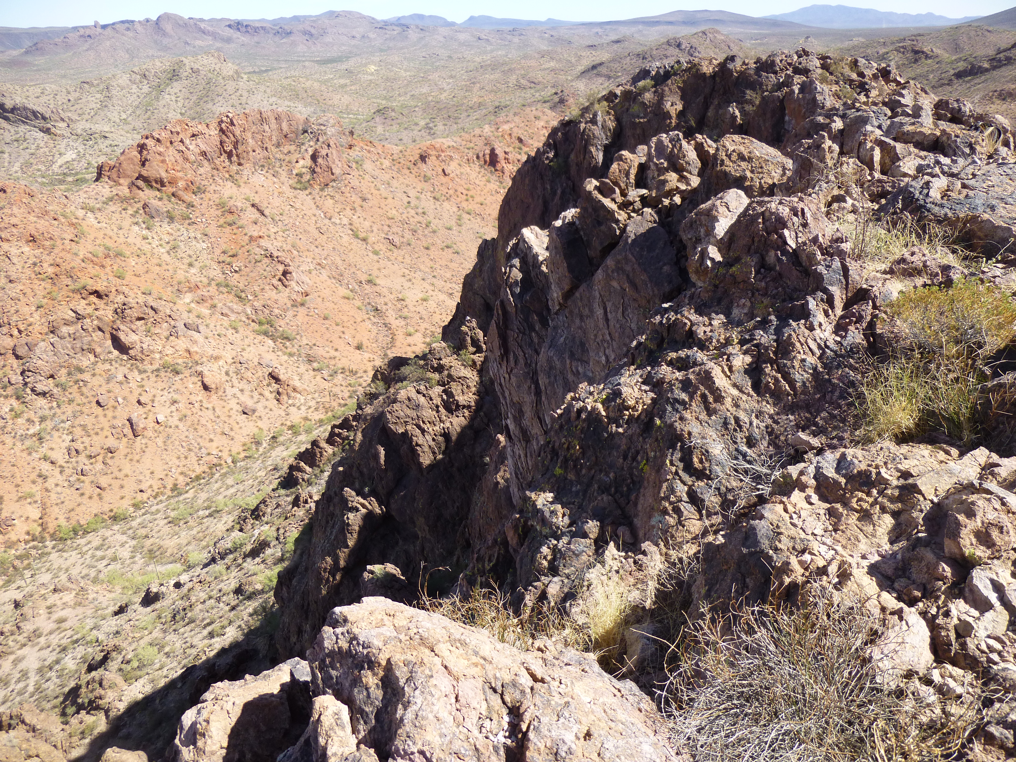
Looking south along the last bit of the summit ridge
This was one steep peak alright, with a lot of thin air especially to the north of it.
The steep north side of the peak is seen on the left.
Parts of the desert below were painted with striking colors.
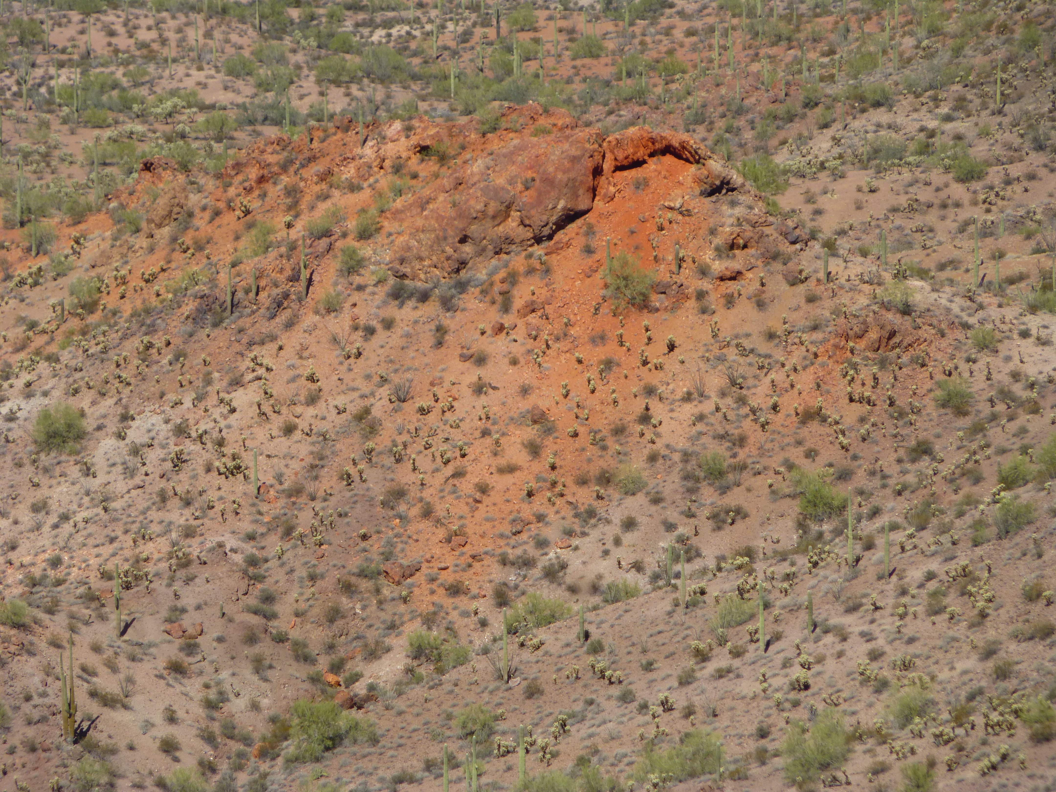
A painted bit of desert
I left my customary register and ate a few energy bars. Nowadays, as an added safety measure, I carry an emergency SOS device which allows me to call for help via satellite technology from anyplace on the earth’s surface. It also allows me to send routine non-emergency updates to friends, letting them know where I am and that I’m safe. I usually send one from every summit, and this one was no exception – hooray for technology!
A breeze on top helped cool me off a bit, but it didn’t change the fact that it was one warm day. I finally packed up and started down, slowly and carefully, and made it back down to the saddle without incident. That done, it was easier going heading downslope south from the ridge to the desert floor. On the way, I passed by this jojoba bush – yes, the same plant from which they extract jojoba oil.
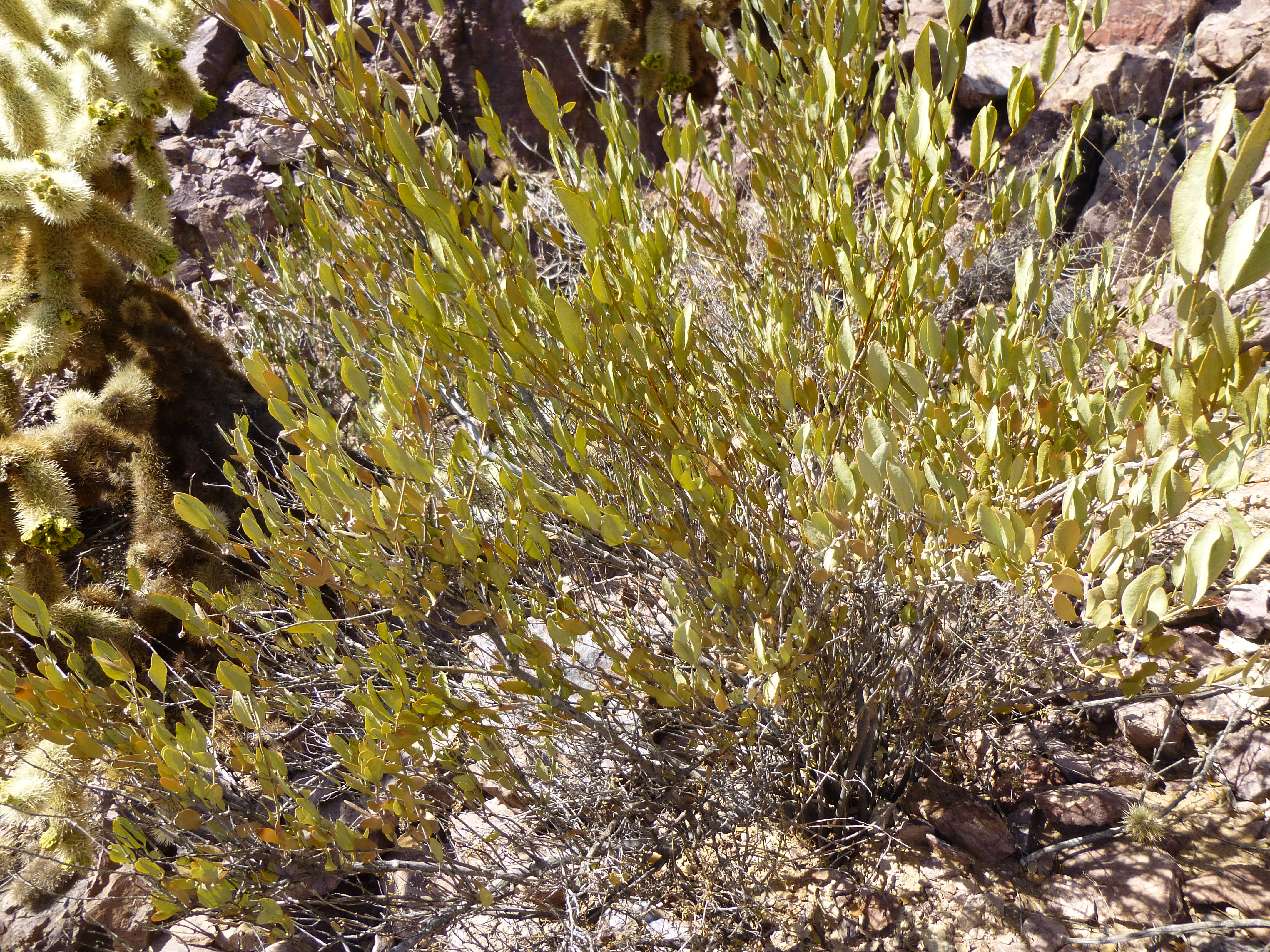
Jojoba
By now, it felt just plain hot. Remember that quart I stashed on the way in? I found it, no problem, sitting in the shade of a palo verde tree – I appreciated the electrolytes, but it was like drinking hot tea. Nearby was this fine specimen of an organ-pipe cactus.
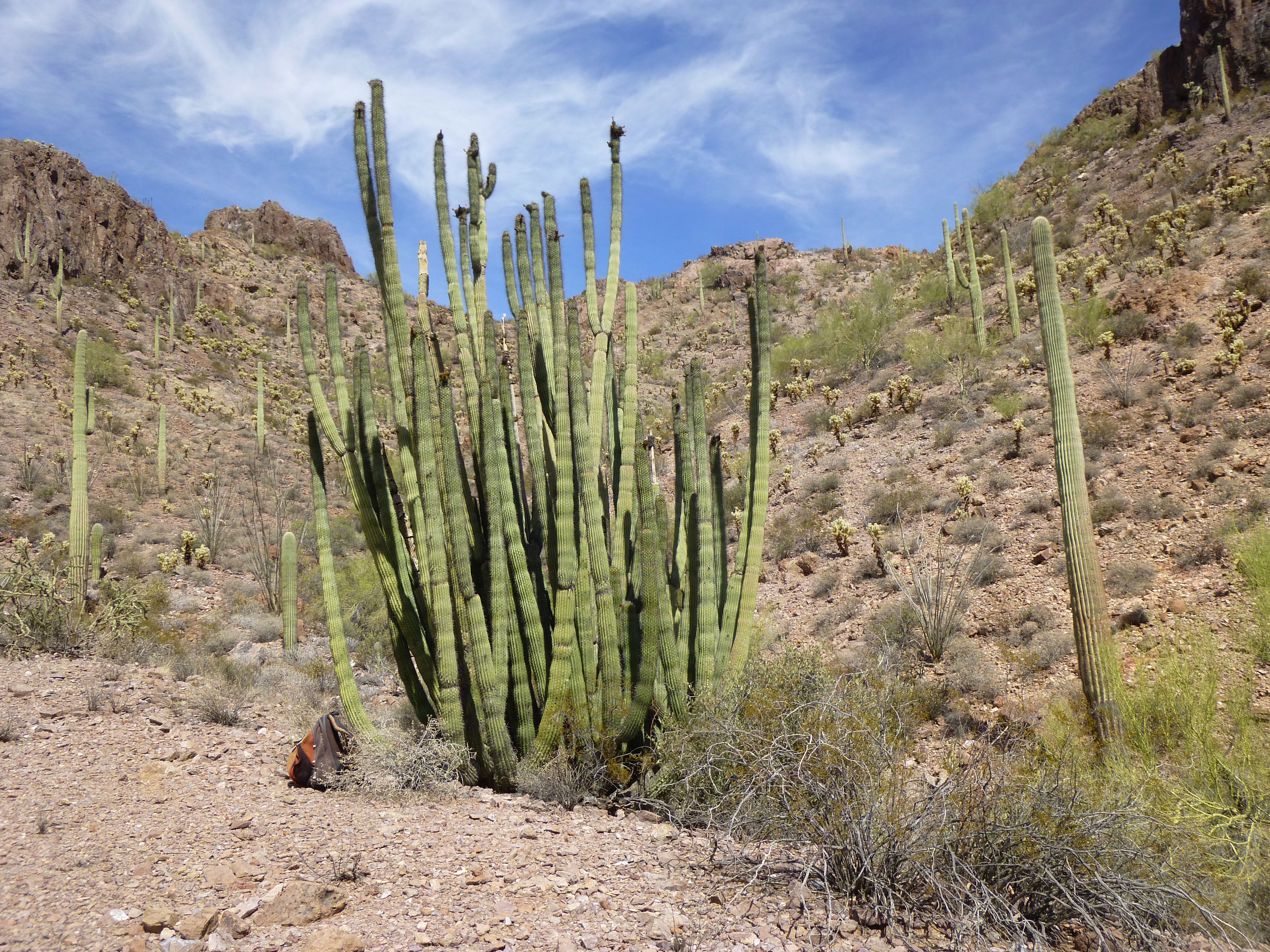
Organ-pipe cactus
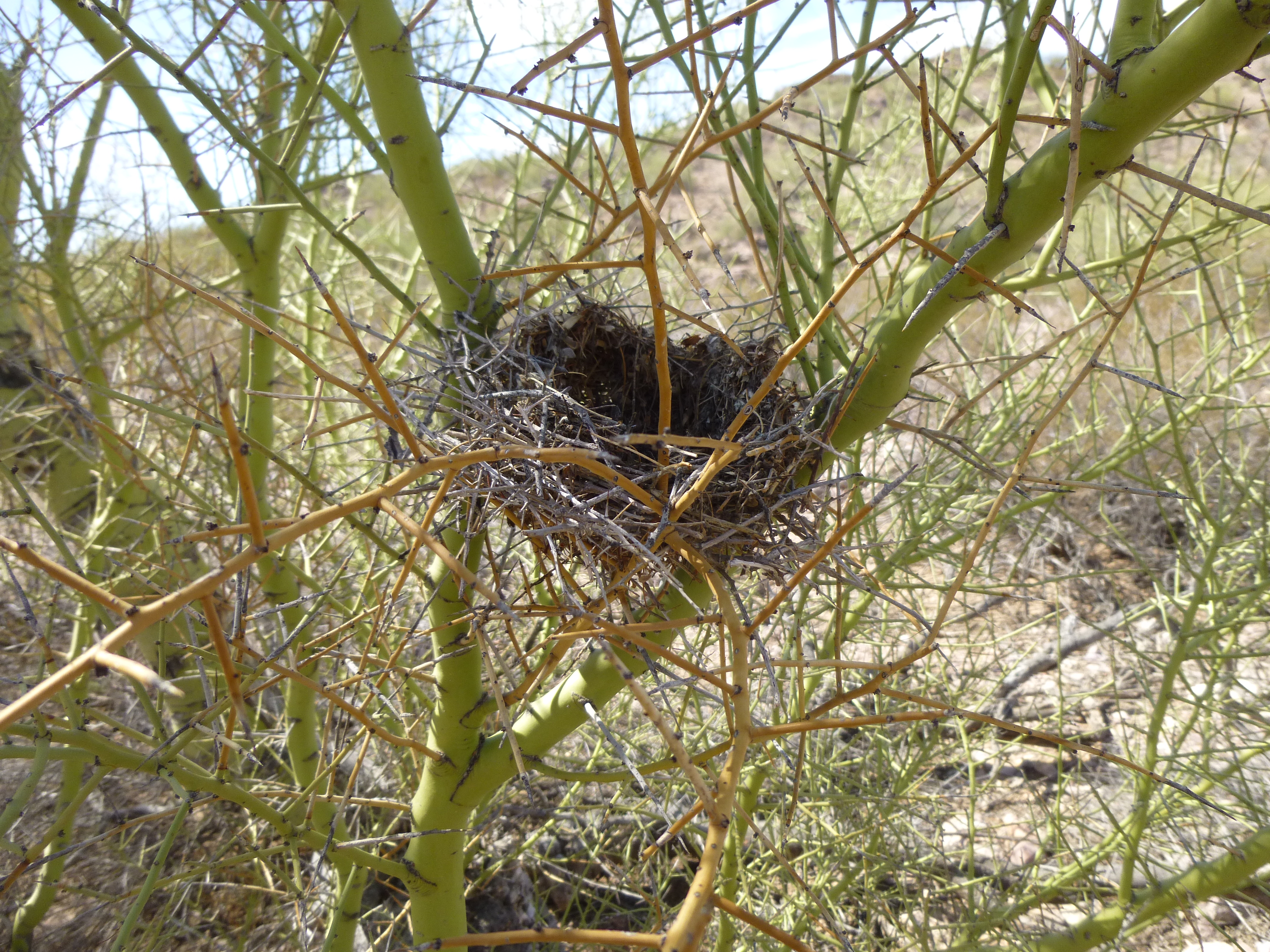
From that point on, I just put my mind in neutral and one foot in front of another. This bird’s nest was sitting in a palo verde tree. The desert is full of life if you look for it.
Before I knew it, I was approaching my truck. Even though I couldn’t see it, I knew it was just beyond a wall of trees. I shouted a few times to warn any who might be there messing with my stuff, then cautiously walked up to the truck. Nobody there, great. All was as I’d left it. I changed into more comfortable clothes for driving – my long-sleeved climbing shirt was so caked with salt and dried sweat, it could almost stand up by itself. A toasty day, 97 degrees F. in the shade.
So what did this peak have to do with coffee? Other than its proximity to Coffeepot Mountain, not much, I guess – maybe a kissing cousin, that’s all. It seemed like a good companion peak. As I drove back out, I stopped briefly at another remnant of the cattle-ranching activity that used to be common in the area. I don’t think there’s water here anymore, but this is Coffeepot Well.
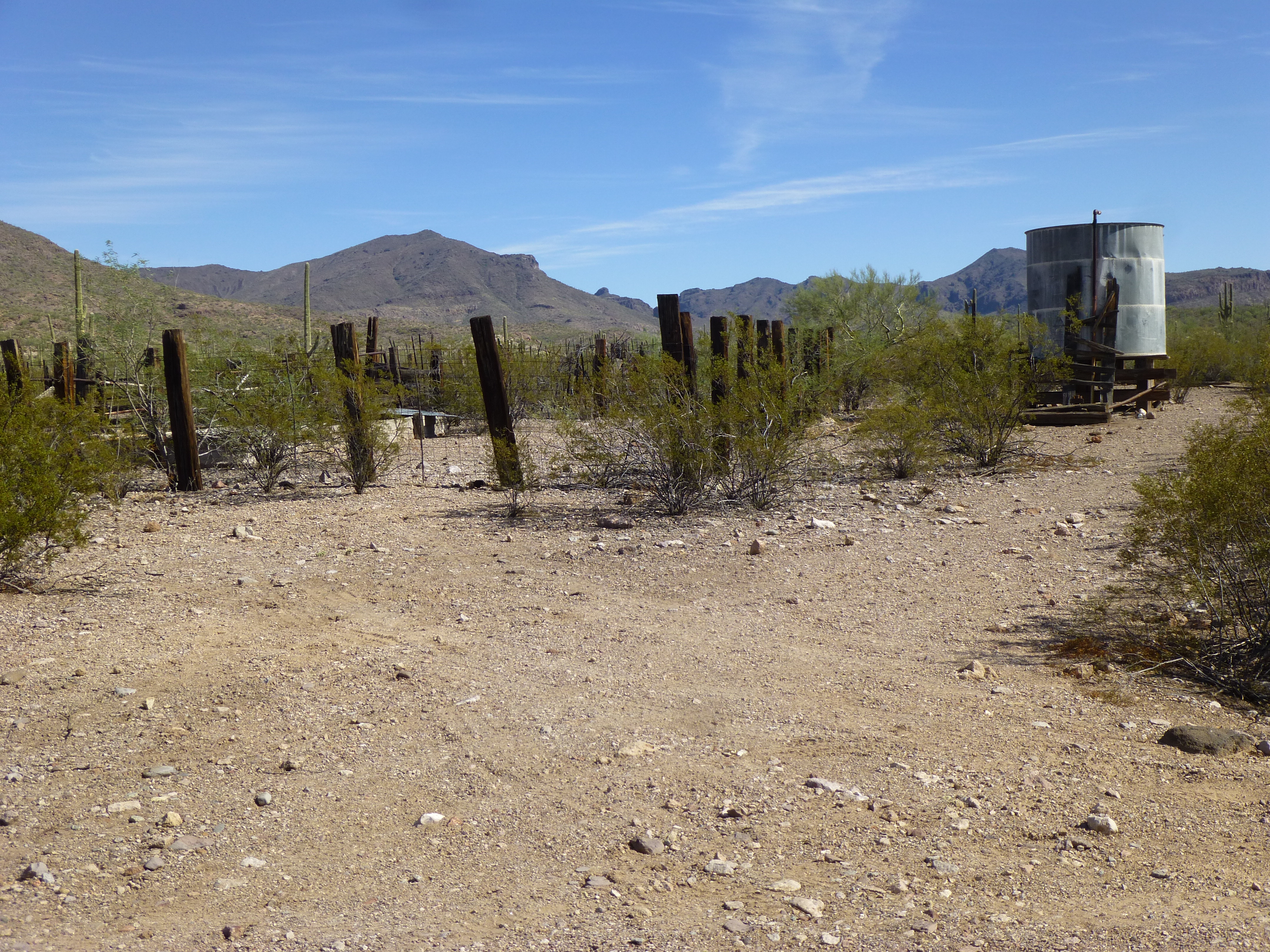
Coffeepot Well
Thus ends my own strange tribute to coffee – drink up!