
When climbing, things don’t always turn out the way you’d hoped, and the chance of that happening is greater if the challenge you’ve taken on is severe. So here’s a tale of such a trip.
It started out innocently enough. Mark and I met late one afternoon at a small town in southern Arizona. He’d received permission to park his car at a government agency for a few days – it seemed safe enough, as he’d done this exact same thing once before on a 9-day trip we’d done together. I was amazed that he’d been able to fit his mountain bike into that compact car of his – kudos to the guy who invented quick-release wheels (later on, we’d see just how valuable a feature that was.) We put his bike and all his gear into the back of my truck and away we went. By the time we started north, the sun had set.
A short while later, we pulled off the highway and parked. It was now as dark as the inside of an undertaker’s hat. Our plan, up until now at least, had been to catch a few hours sleep, then head out under cover of darkness. “Why?”, you might ask. Let’s just say that we wouldn’t want anybody to see where we were going, and I’ll leave it at that. Even as we sorted through our gear, our plans were changing. Instead of leaving in the dark of early morning at 5:00 AM, we could leave this evening, once all was ready. We were parked less than a hundred feet from a busy highway, traffic roaring by at 65 mph, and we knew it would be impossible to get a wink of sleep there. That decided, we took our sweet time preparing a hot meal and readying our packs.
It was only a matter of time before the Border Patrol spotted us and paid a visit – I predicted it aloud to Mark, and, sure enough, we had been there less than an hour when it happened. Two young officers pulled off the road and up behind us. They were curious why we were there, of course, and the fact that we were going climbing for a few days was fine with them. Before long, all was ready. I left all the gear with Mark and then moved the truck half a mile away to a safer spot. Walking back along an abandoned railroad track in the moonlight was very cool and brought me back to his spot in the dark. All was in readiness.
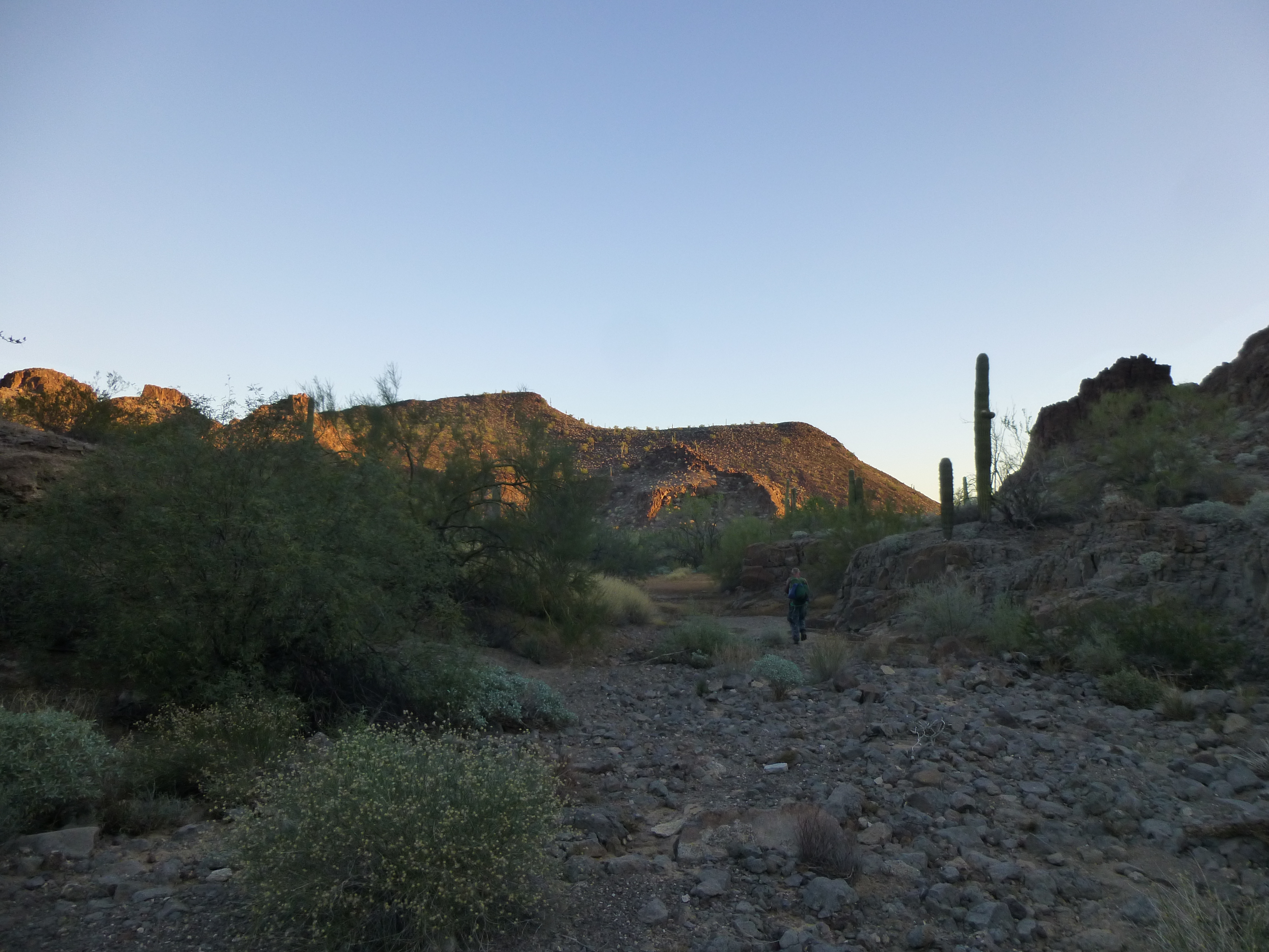
At 8:45 PM, full packs on our backs, we walked our bikes up the sandy wash and under the highway bridge. Once out the other side, we grunted our way up the steep dirt bank and on to the level desert floor. Our goal was a good road which would take us deep into forbidden territory, and we soon found it. Away we went into the night. For the most part, the road was in very good shape and we moved right along, at least for an hour or so. All good things must end, though, and the going was about to get a lot tougher.
Up to this point, it had been a ride in the park, but now our good road quickly turned into a rougher dirt track. Mark and I have done a lot of biking with heavy backpacks and it’s hard on your body, grueling in fact. When desert winds blow sand on to a surface like a road, it becomes hard to pedal a bike on it. Just a few inches of sand can stop any forward motion, and you need to be careful – hit the sand too fast and it can toss you from your bike. A heavy pack landing on you can really mess you up, grinding your face into dirt or rocks. Usually, though, you simply need to get off your bike and walk it, perhaps for just a few feet, or possibly much farther. This getting on and off with a heavy pack is tiring, especially if you’re doing it 20 times in a mile. The depth of the sand can change quickly, and it’s hard to not become discouraged – you have to keep hoping conditions will improve just ahead.
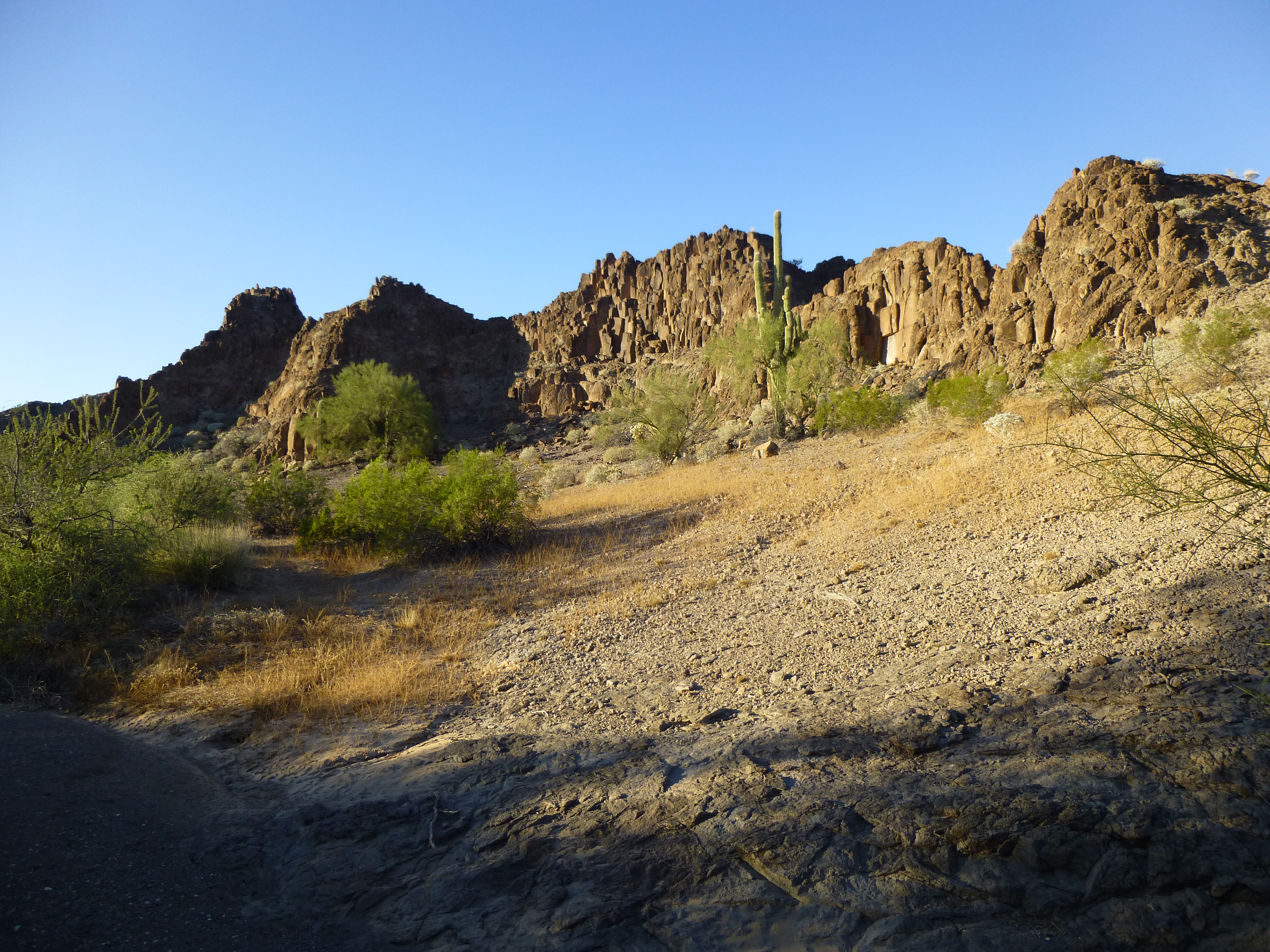
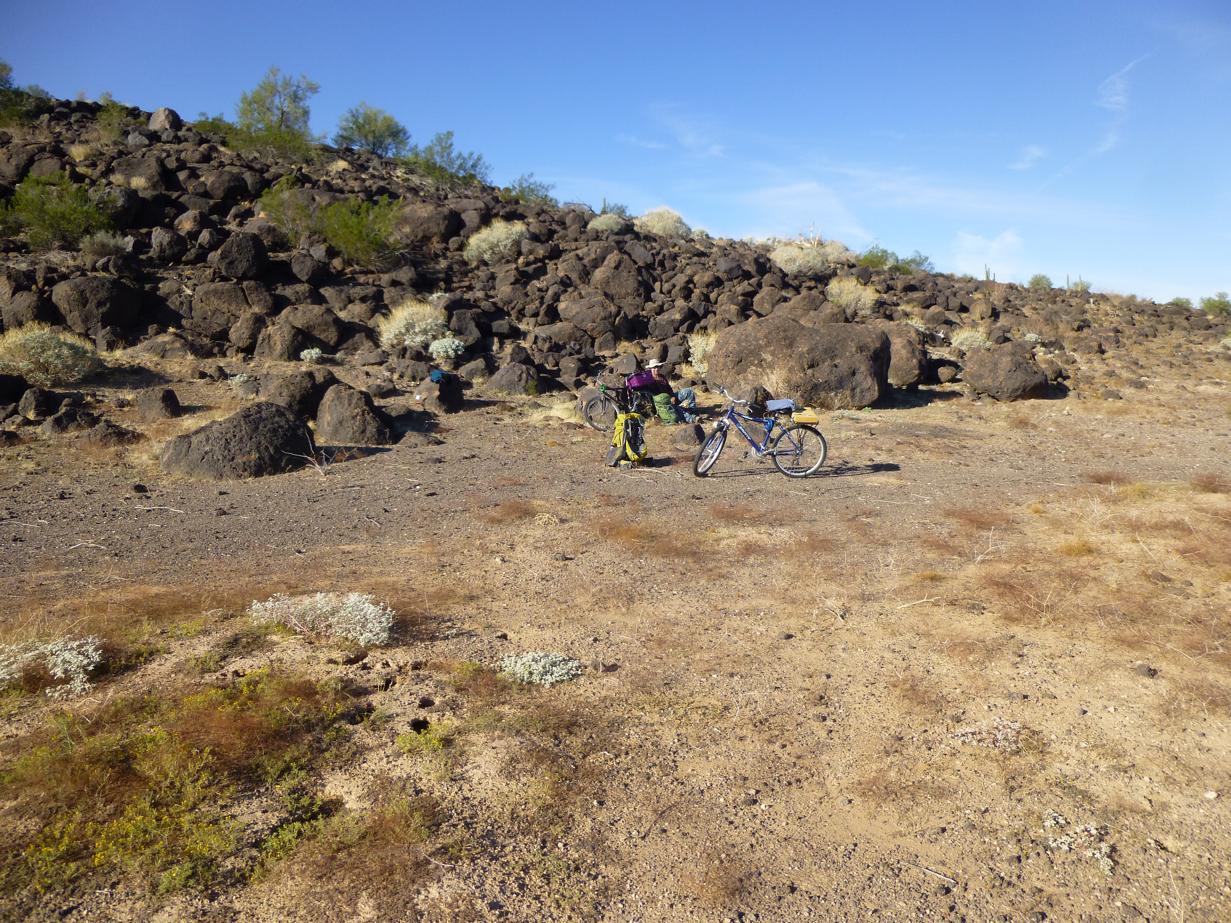
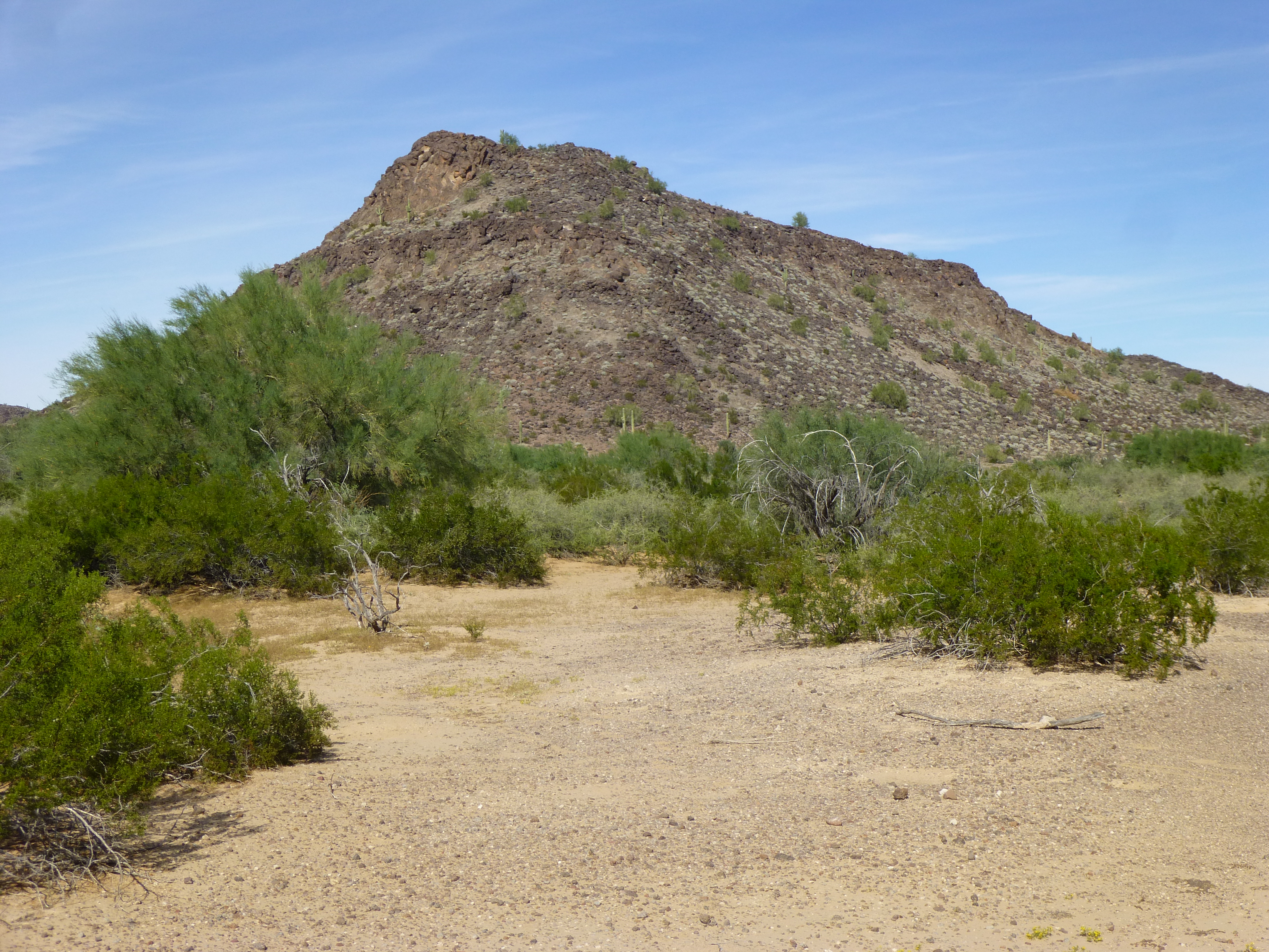
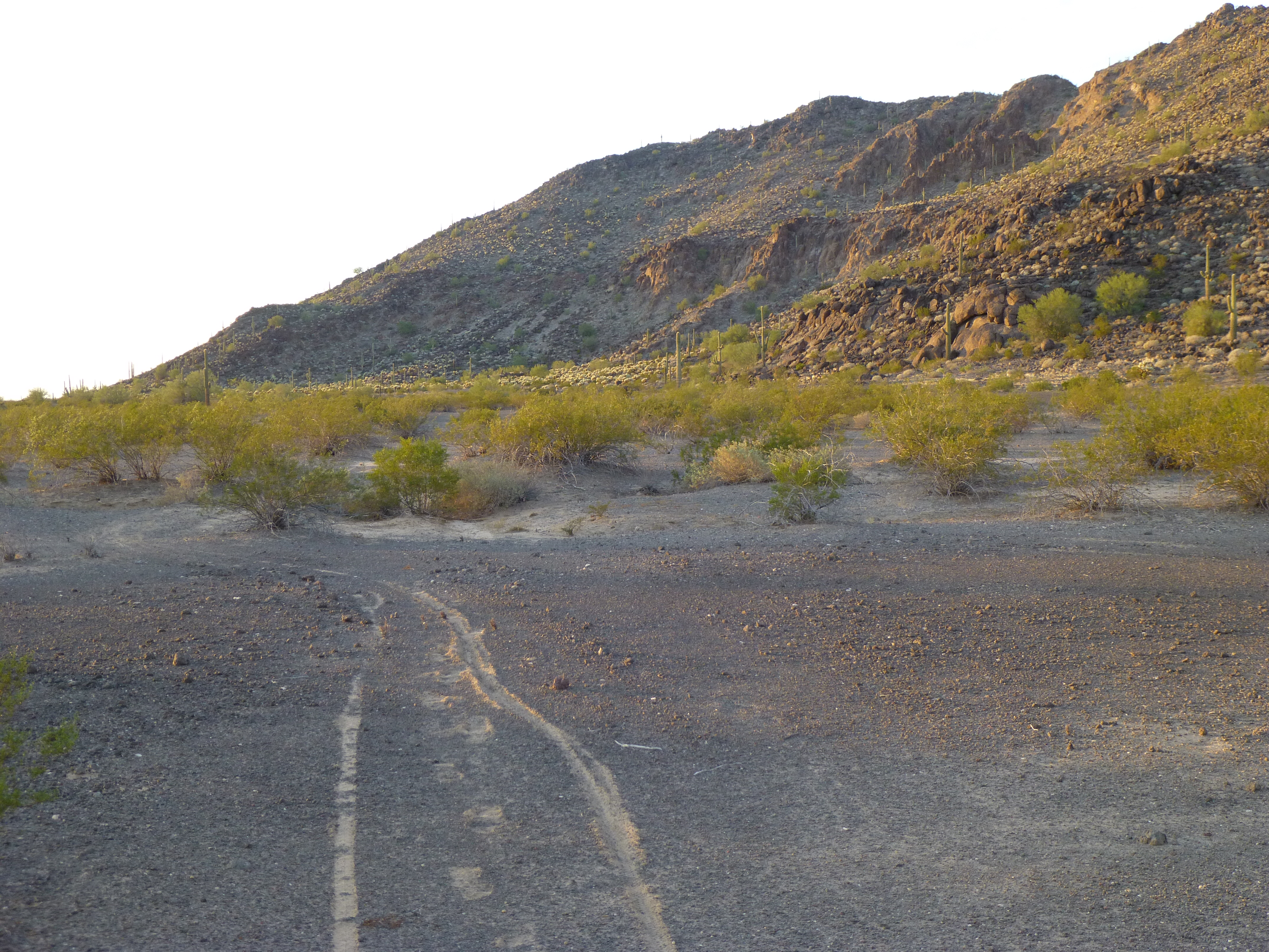
This next stretch of road was much slower, bouncing along by headlamp, eyes peeled for issues in the road such as rocks, holes, branches, any number of things. By the time we reached a major wash, 2 hours had passed and we had covered over 6 miles, and that was plenty good for our first effort. The wash was a wide stretch of sand, and we had plenty of spots in which to bed down for the night. We simply laid our sleeping bags on the sand, no tent required. It was quiet as a tomb, and were it not for the moon, just as dark. We both slept poorly, perhaps concerned about the days ahead.
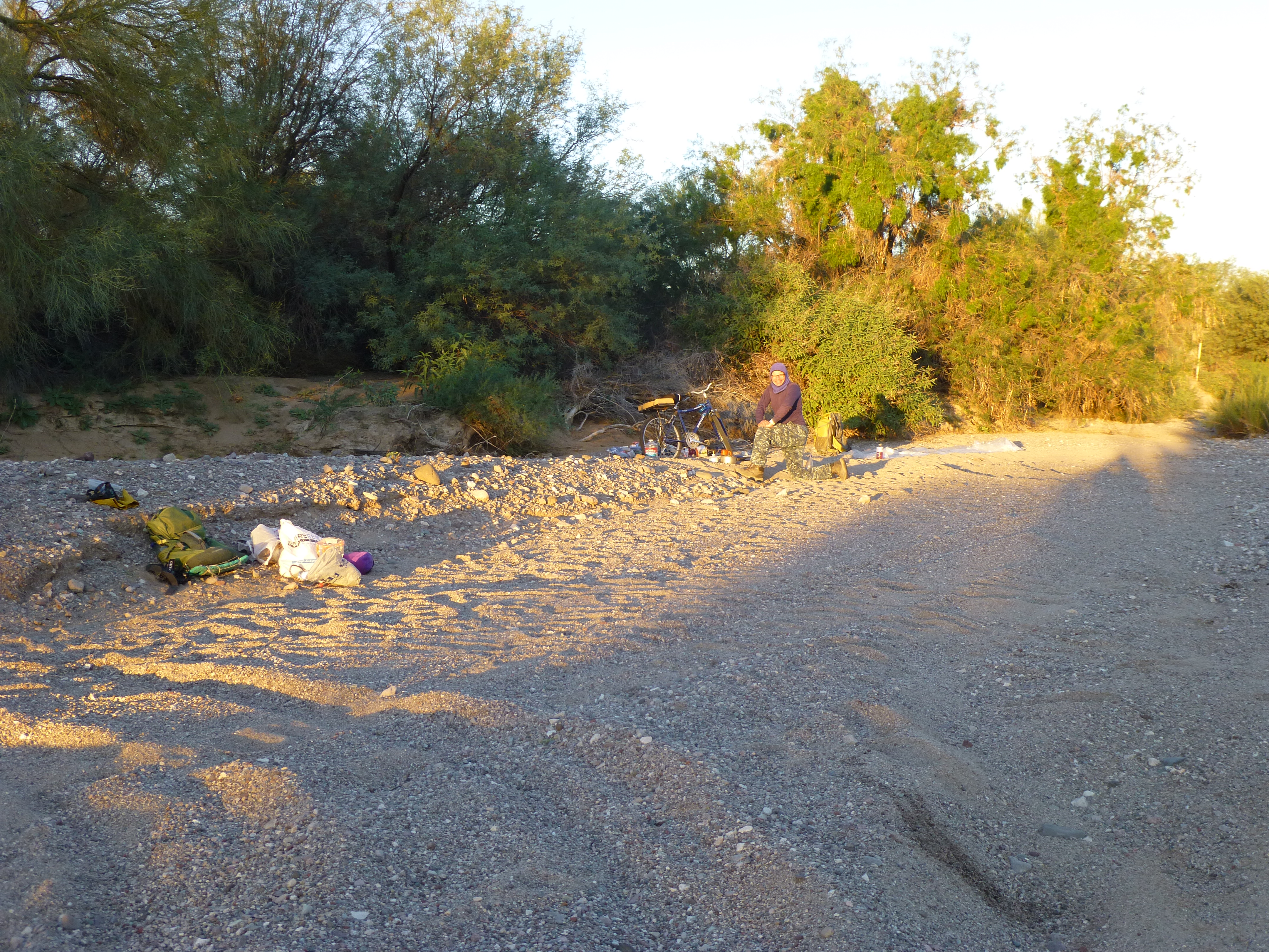
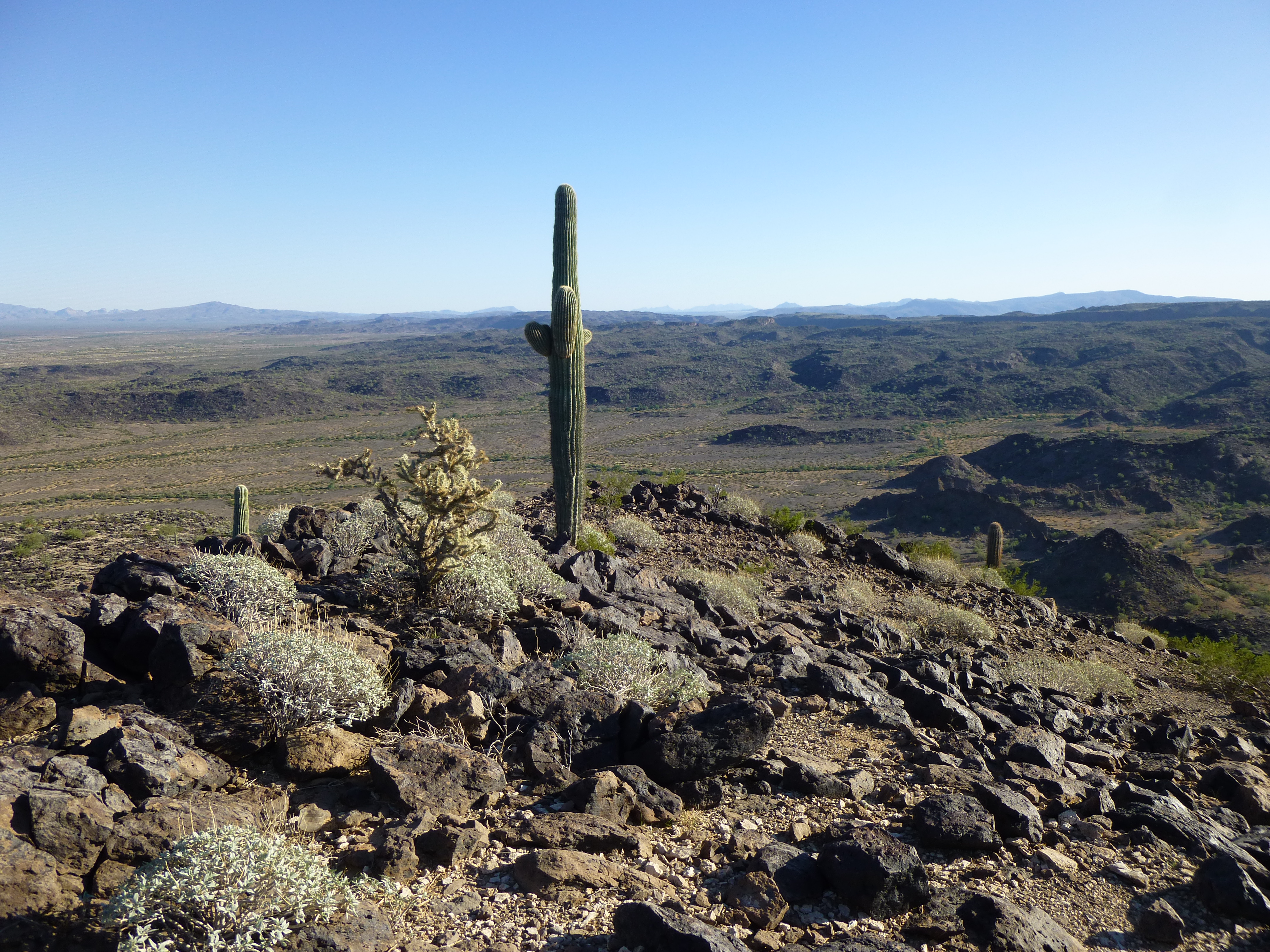
Campsite in the big wash
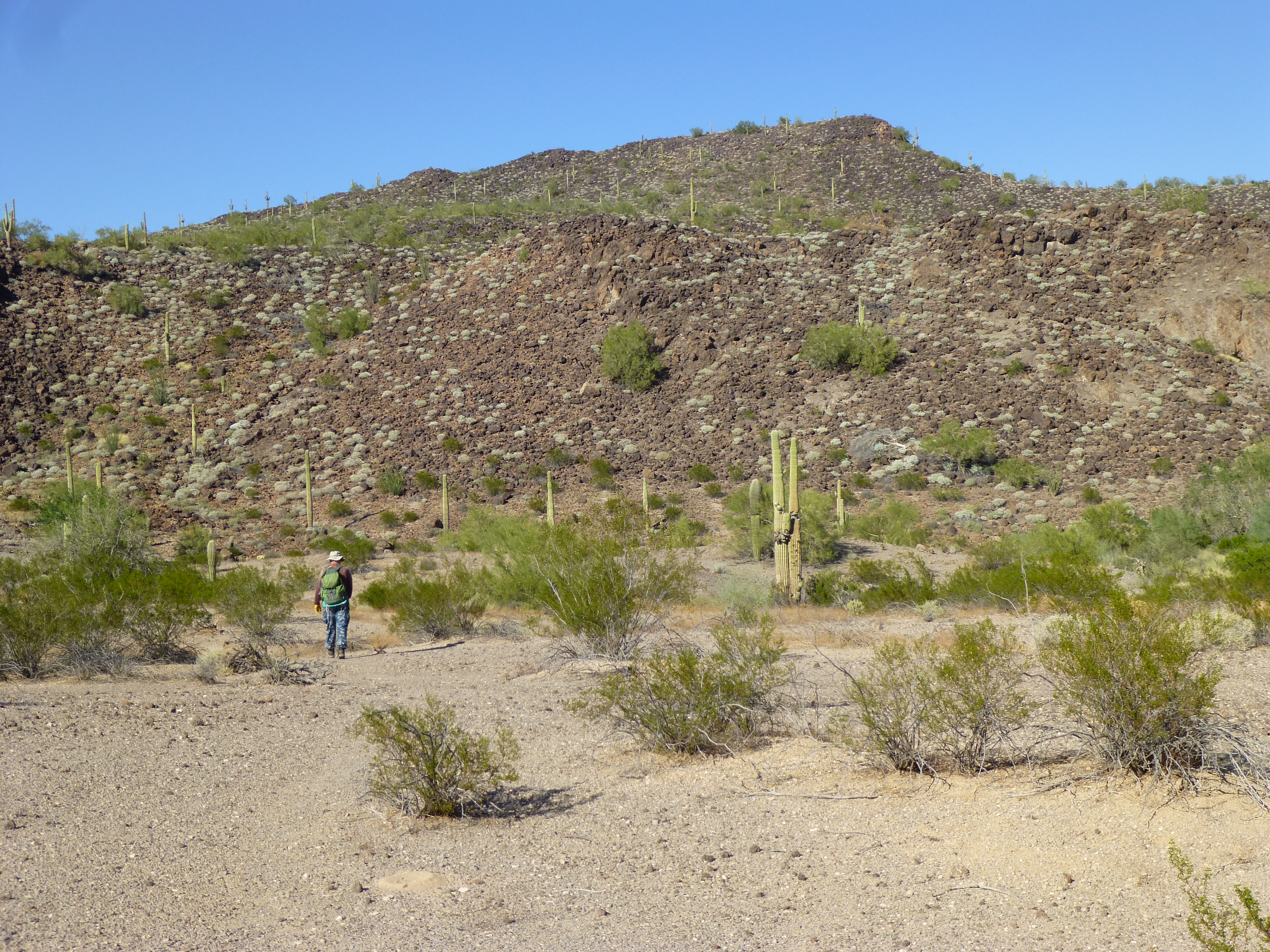
Rising with the sun, we cooked oatmeal, re-packed our gear and continued north by 8:00 AM. Much of our weight was water, and we needed to cache some of it, plus food, for future use. We would end up doing that at the base of the mountain seen in the next picture.
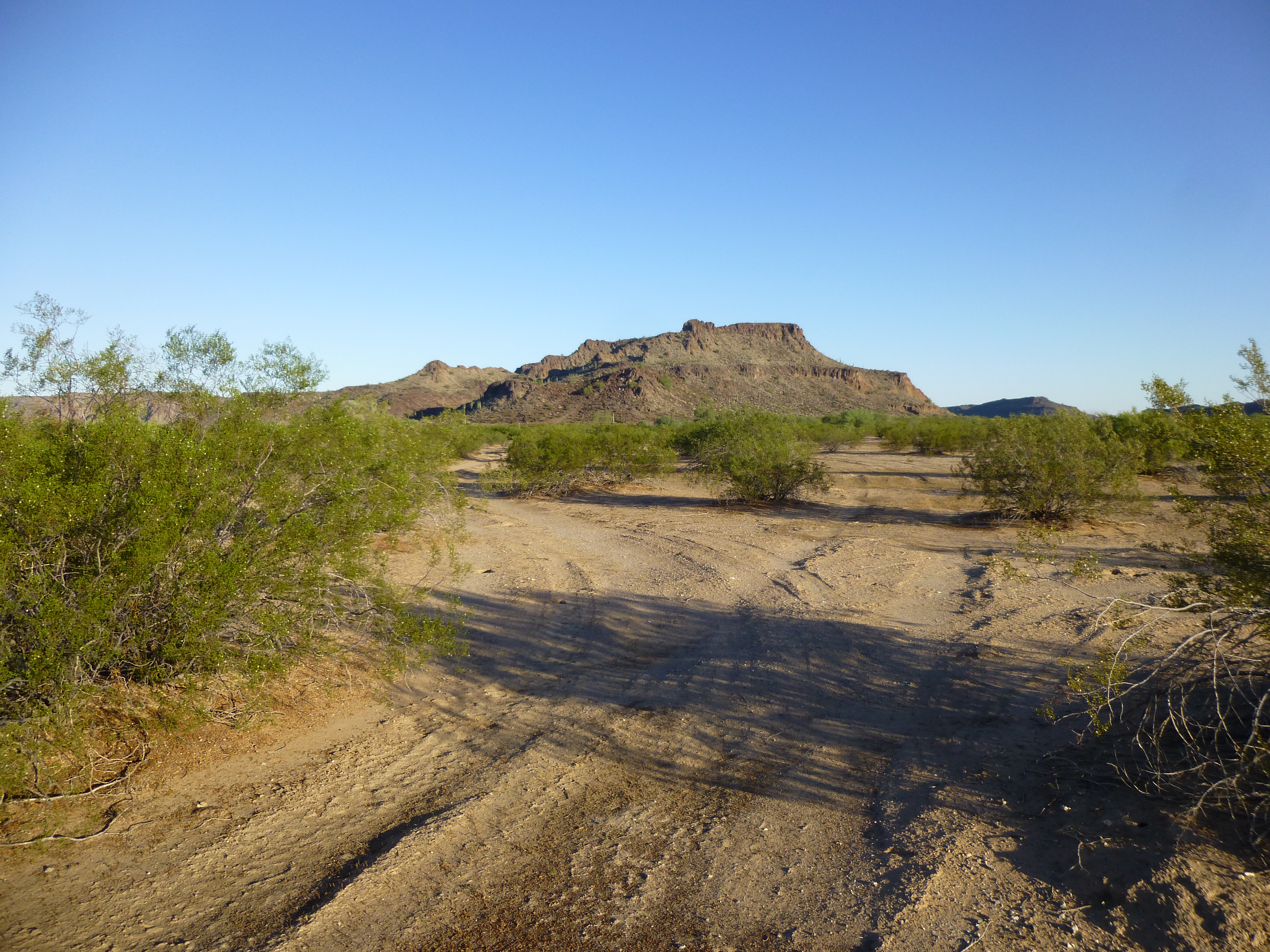
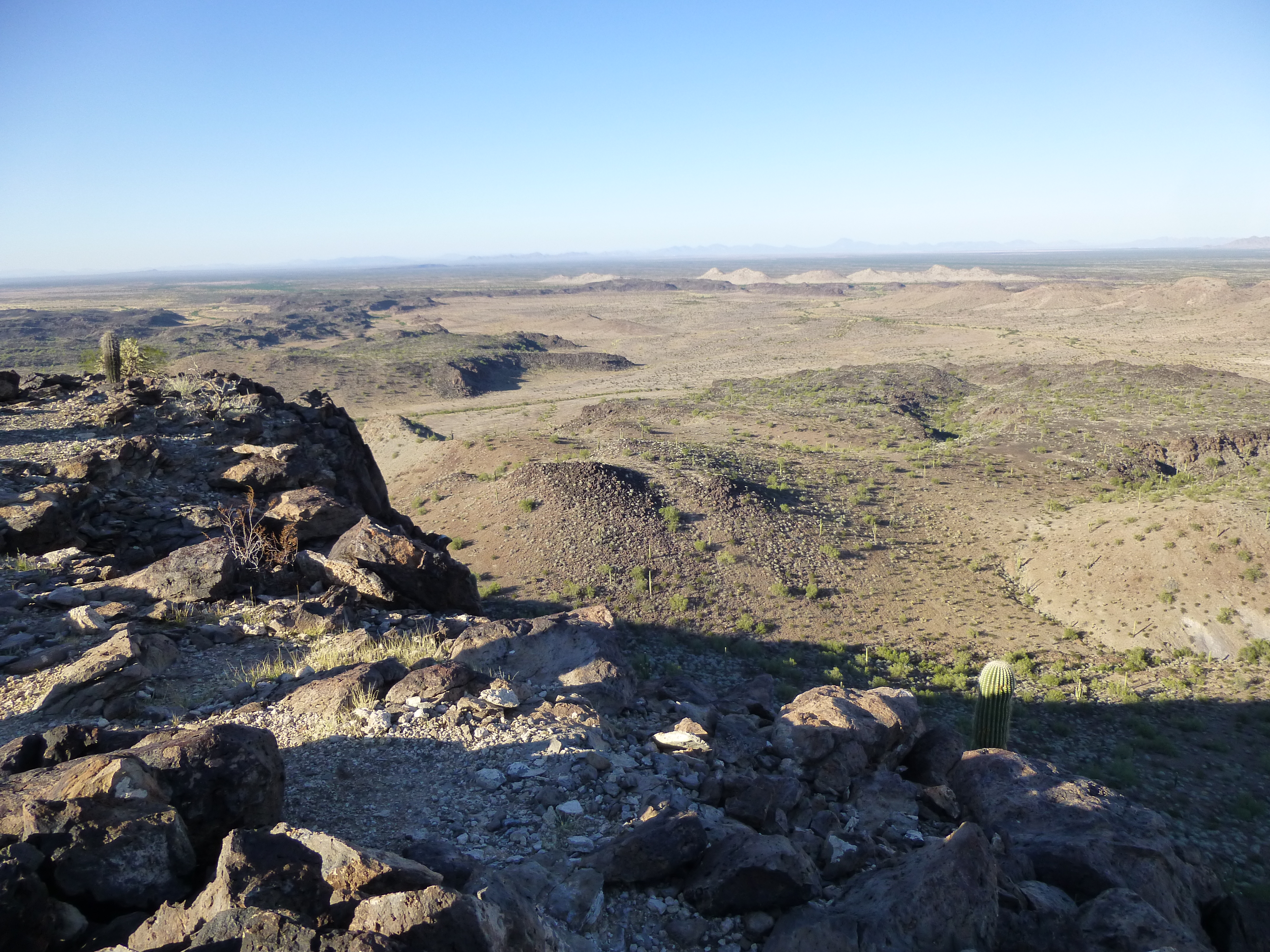
Looking north
Less than a mile north of the wash, we found a good spot behind a boulder on a hillside. That’s where we hid our stuff.
Bet you can’t guess which boulder our food and water is hidden behind.
The faint road we’d been following had faded out completely, reclaimed by the desert, so we headed cross-country with the bikes. Fortunately, the next 2 miles were flat with few obstacles, and we arrived at another major wash where we buried more water in a plastic bladder – we knew we’d need it later on. This spot was impressive, a bit of flatness set between 2 mountain ridges.
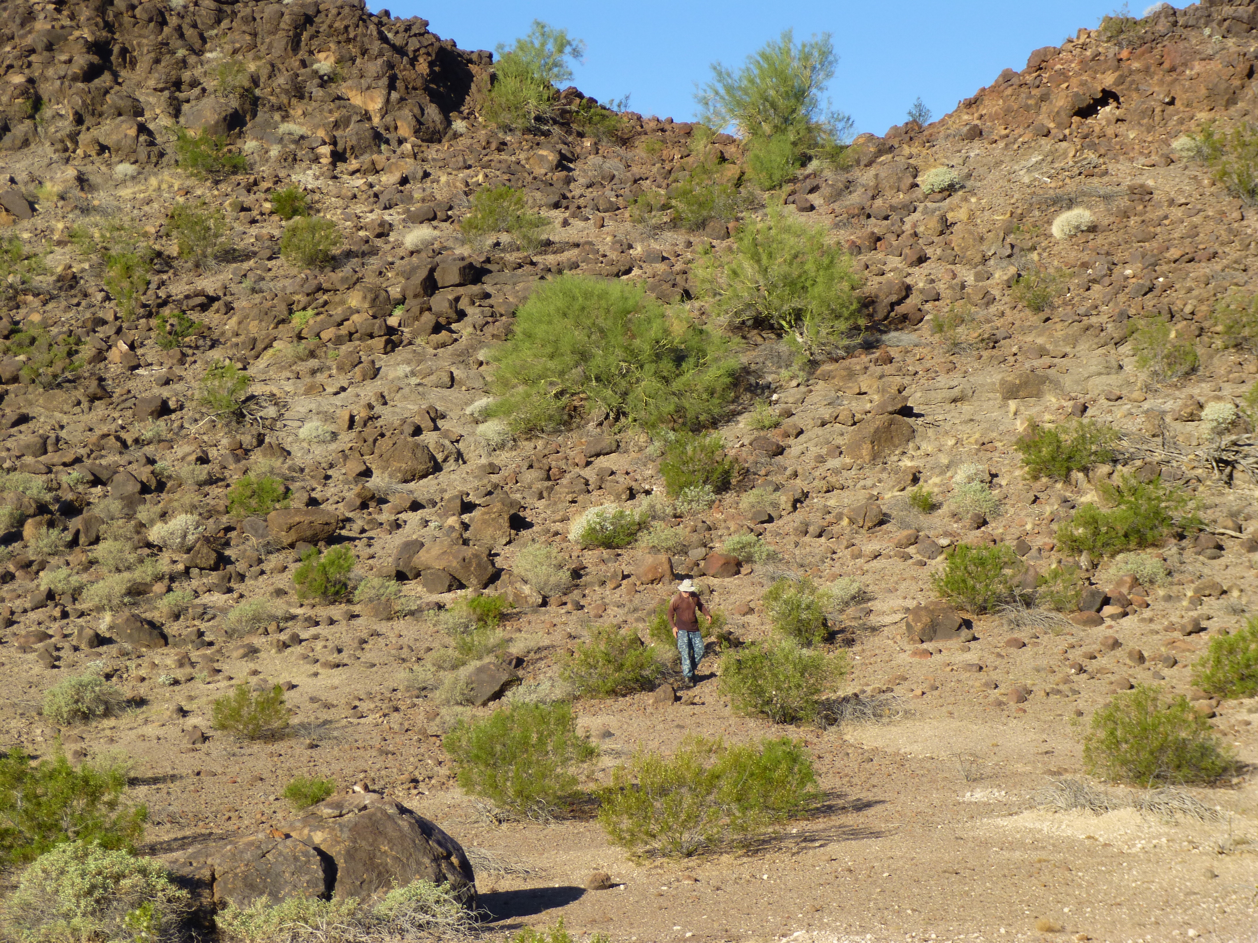
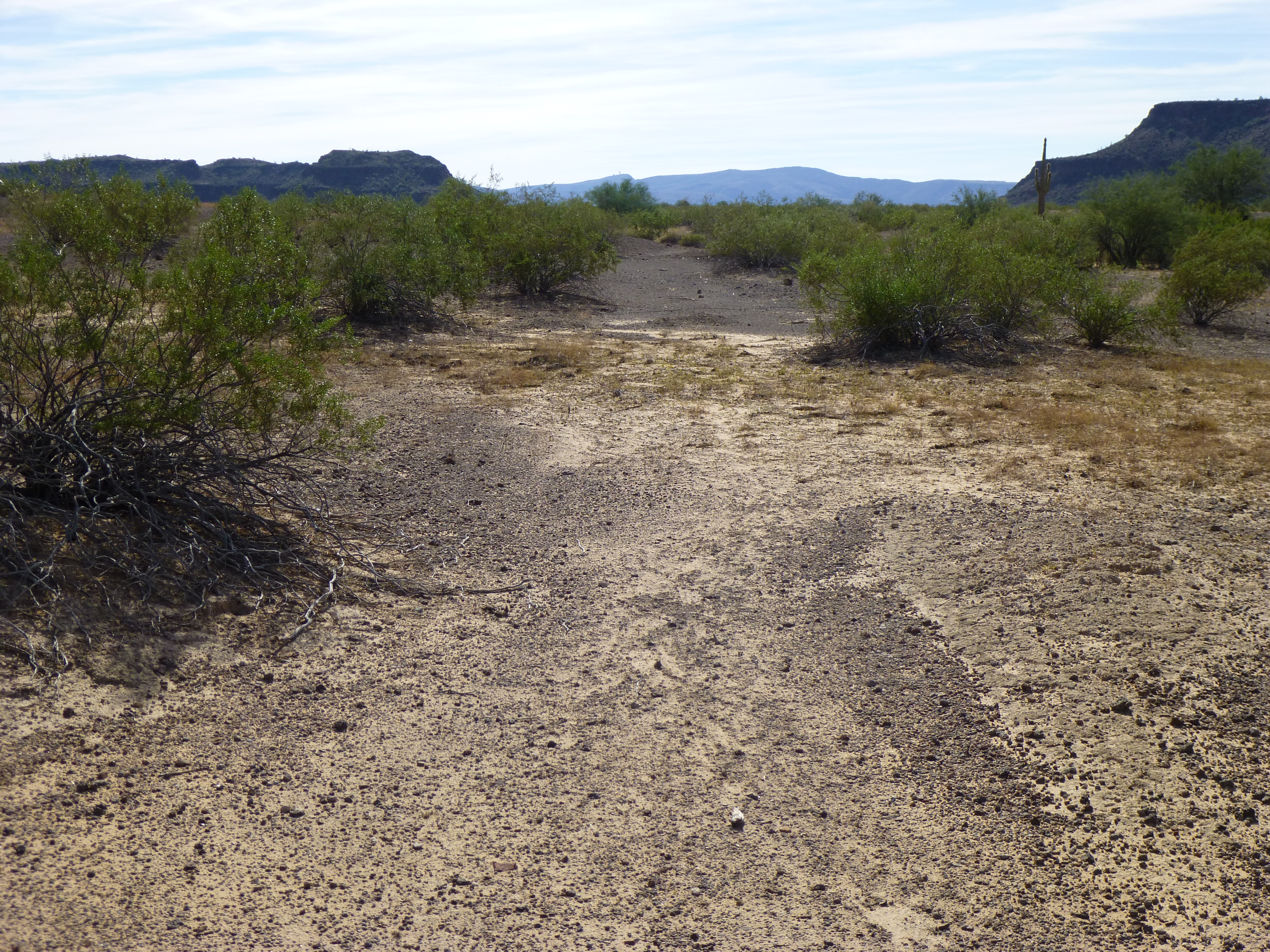
It was 9:30 by the time we moved on. There was an old road that could be easily followed for a bit, taking us north over a low ridge, then down again. It didn’t serve for even a mile before we had to leave it, heading off into the open desert once again. A study of satellite images had shown a ridiculously-faint track for the next 5 miles, but we’d already decided it may be of little use – how right we were! Those were some tough miles, strewn with sand, animal burrows and many small washes, all of which slowed us down and tired us. The only saving grace was the flatness – we dropped a mere 90 feet in those 5 miles. The morning sun beat on us, and our clothes were drenched in sweat.
Where’s the road?
At long last, we came upon a road, a real road – dirt, and rarely-used, but quite followable. It turned us to the southwest, and we were on the home stretch, with only 2 more miles to go to reach our next camp. With a mile of that done, I noticed a faint sensation in my right quadriceps, a precursor to a cramp. No choice, I got off the bike and walked it for the next half-hour – I knew that if I got a full-blown cramp, I’d be in trouble. Mark rode ahead to the end of the road and waited for me – it ended right about where we’d expected, and 3 hours had passed by the time we locked the bikes together. Nobody could use them like that, so it seemed perfectly safe.
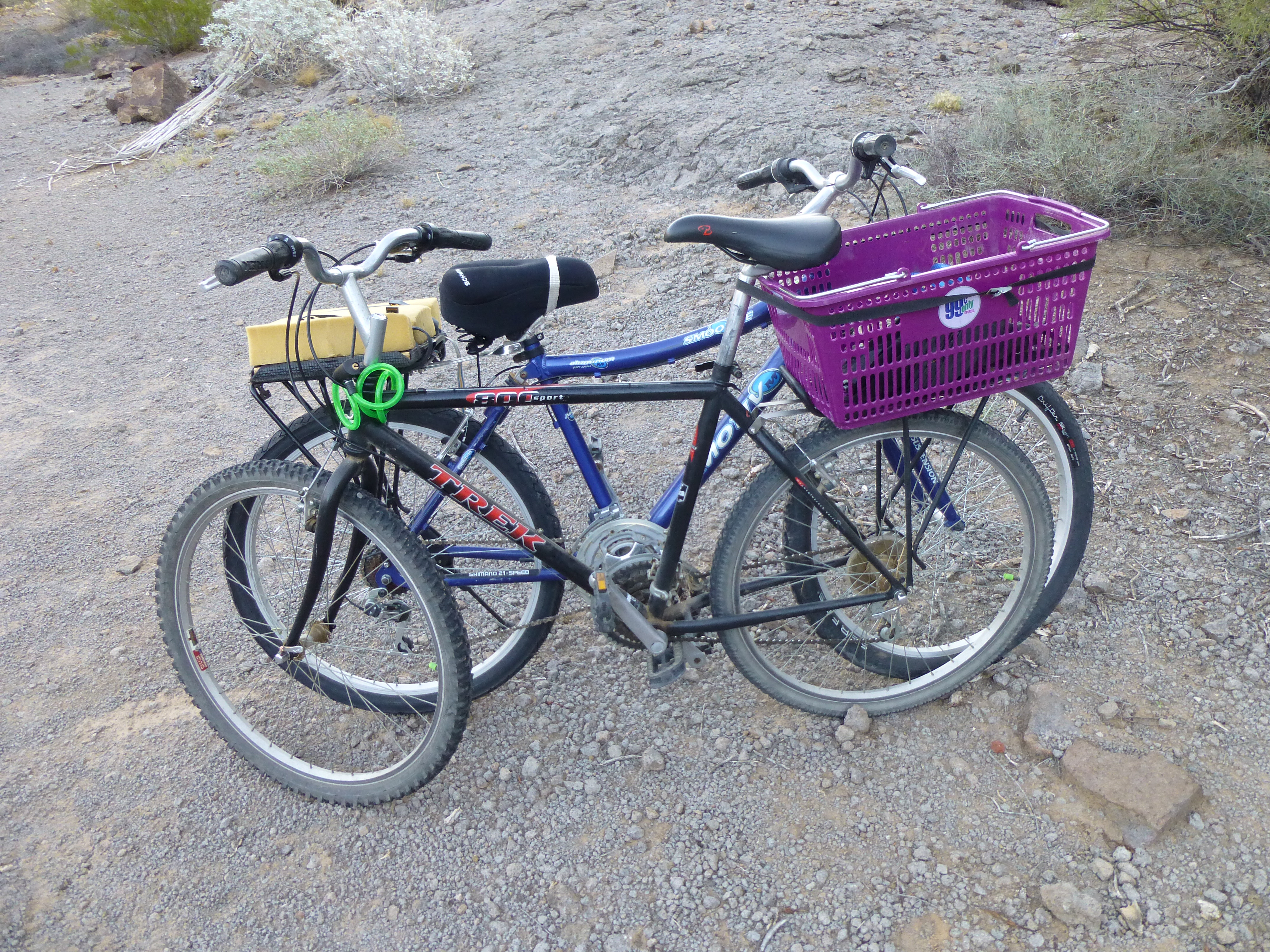
Conjoined bikes
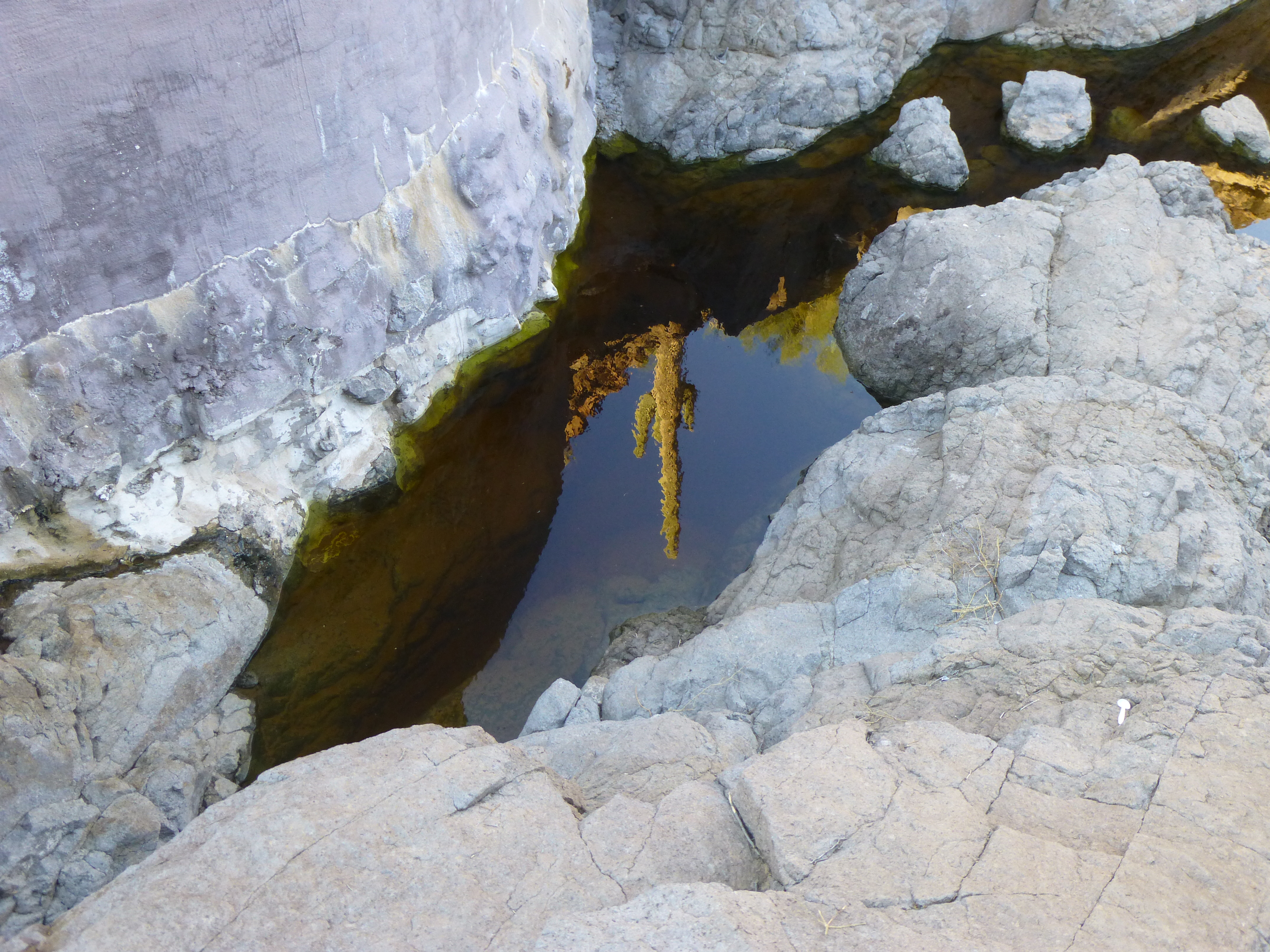
It started to dawn on us that we were going to be short of water, and that’s a big deal in the desert. We had carried a fair amount this far, but still had climbing and cooking to do, and the long ride back out, and there just wasn’t enough. There was an ancient water supply here, supposedly, but rumored to be unreliable. The story was that 10 natural pools existed which could hold water after a good rain, and we were praying that there was at least a puddle in one of them, no matter how dirty, as we had a filter with us. “Please, please!” was our mantra as we walked in to the site. Within a minute, we saw a shallow pool – saved! It held maybe 5 or 10 gallons, plenty for our needs. As we walked farther, we came upon a rocky pool with a lot more, then another pool, and another – lots and lots of water, more than enough. Within moments, our whole mood had changed from one of anxiety to one of joy.
I had learned from a guvmint fellow that this water-hole had been “enhanced”, which I took to mean that humans had altered it in some way to allow it to hold water for longer periods. That was done to help wildlife to survive in this harshest of lands, where the average annual rainfall is a scant 7 inches. There is no other place in this entire mountain range where water can be reliably found – none! Seventeen air miles to the west (at least 25 on foot) sits a man-made catchment, but those are hard miles. If you showed up at this one expecting water and found none, God have mercy on your soul!
Well, we found the “enhanced” alright, and it was a sight to behold. They had created a concrete dam between rocky walls, and what a job it was doing – there was plenty of water for all the desert creatures, and us too, probably several thousand gallons. What a relief! It brought back memories of a time 3 years earlier – it was the end of our 8th day of the Granite Mountains expedition. Completely out of water, we had, in the dark, located our emergency cache, 3 gallons hidden in a tree – it had saved us.
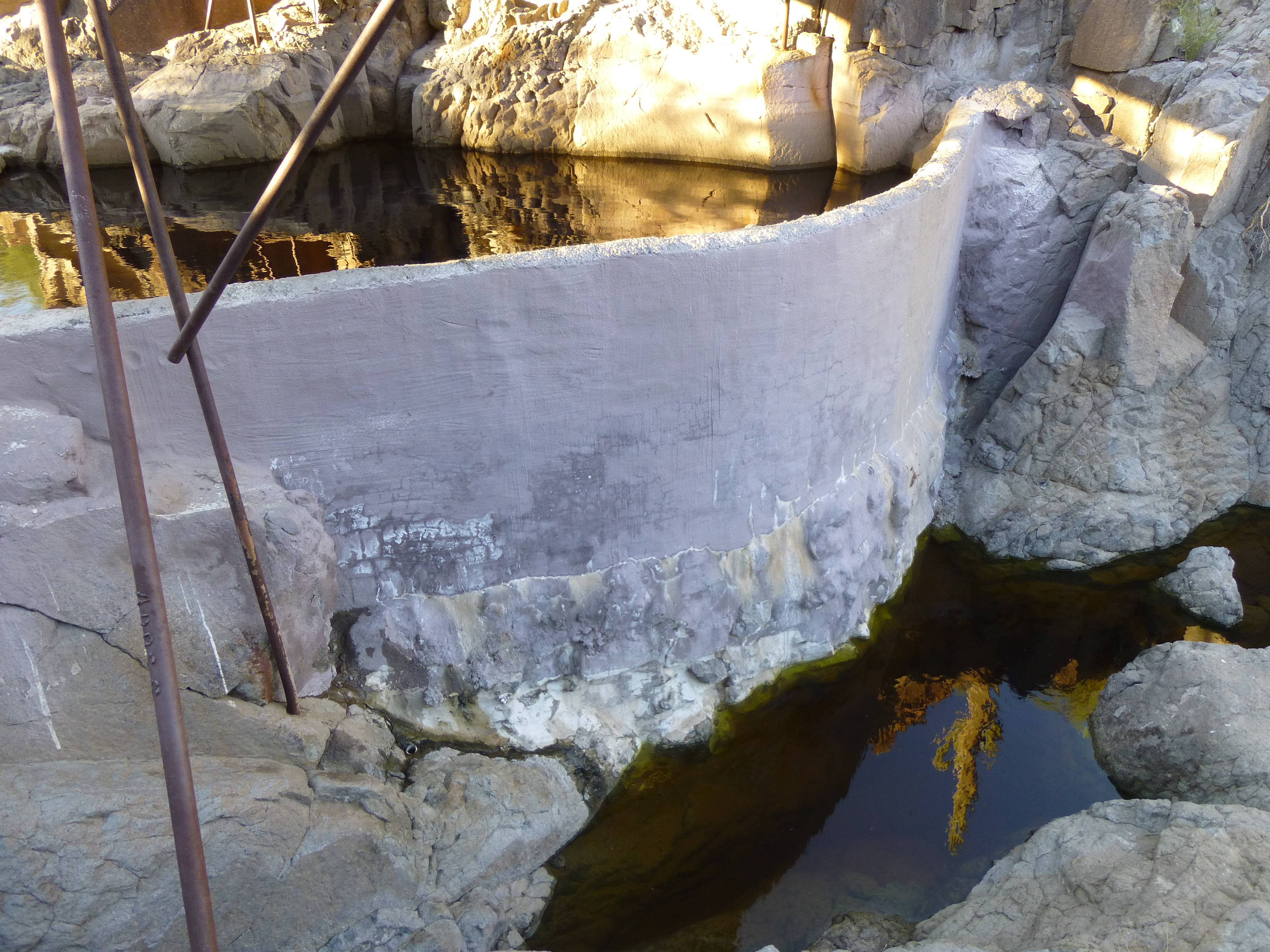
The water supply
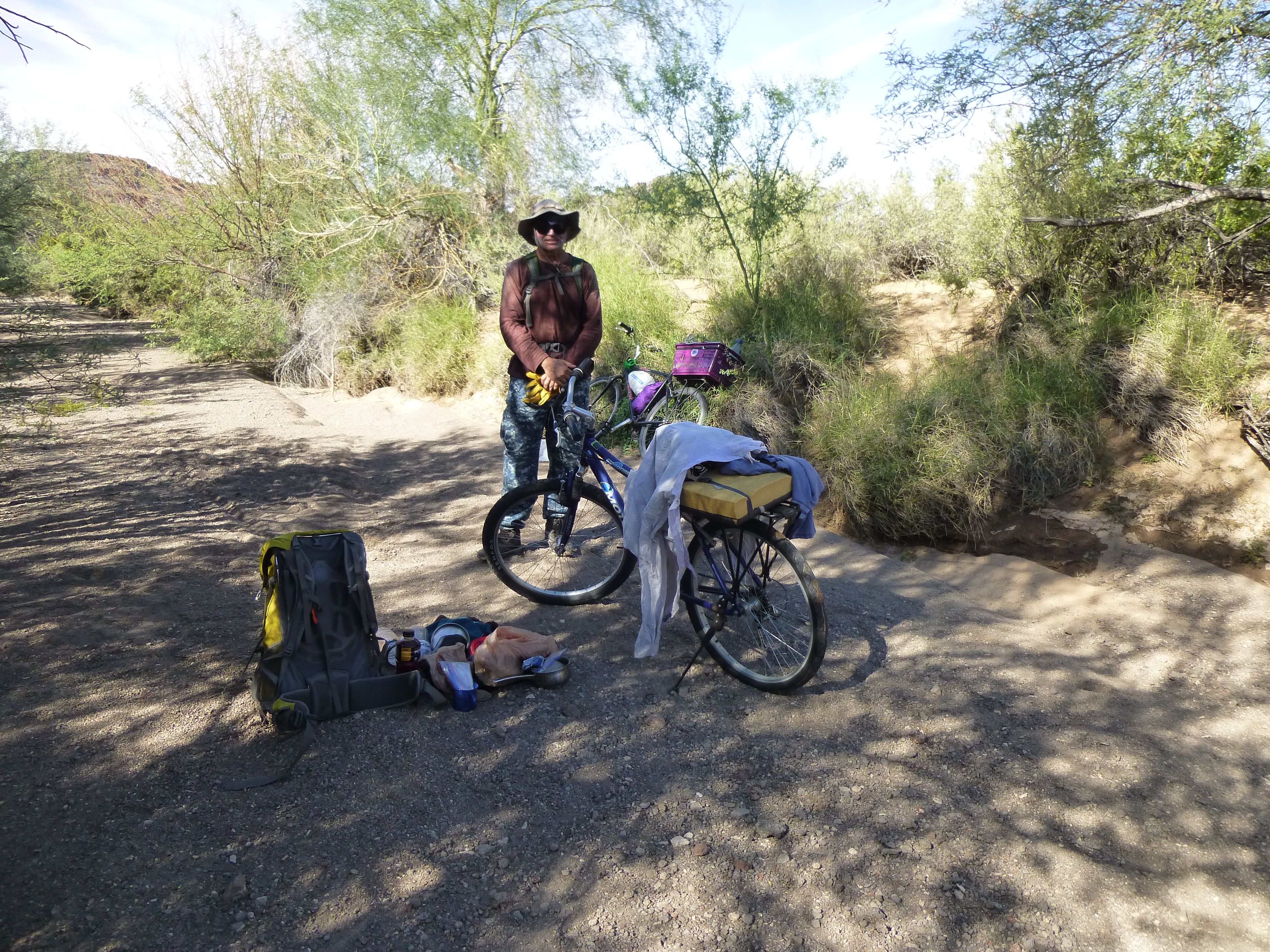
I had brought a water filter, one of the new-fangled, gravity-fed ones – so easy to use – no pumping, no moving parts, nothing to break. As my old Dad used to say, “Slicker than cat-shit on a linoleum floor”. The main pool had a roof over it to help reduce evaporation.
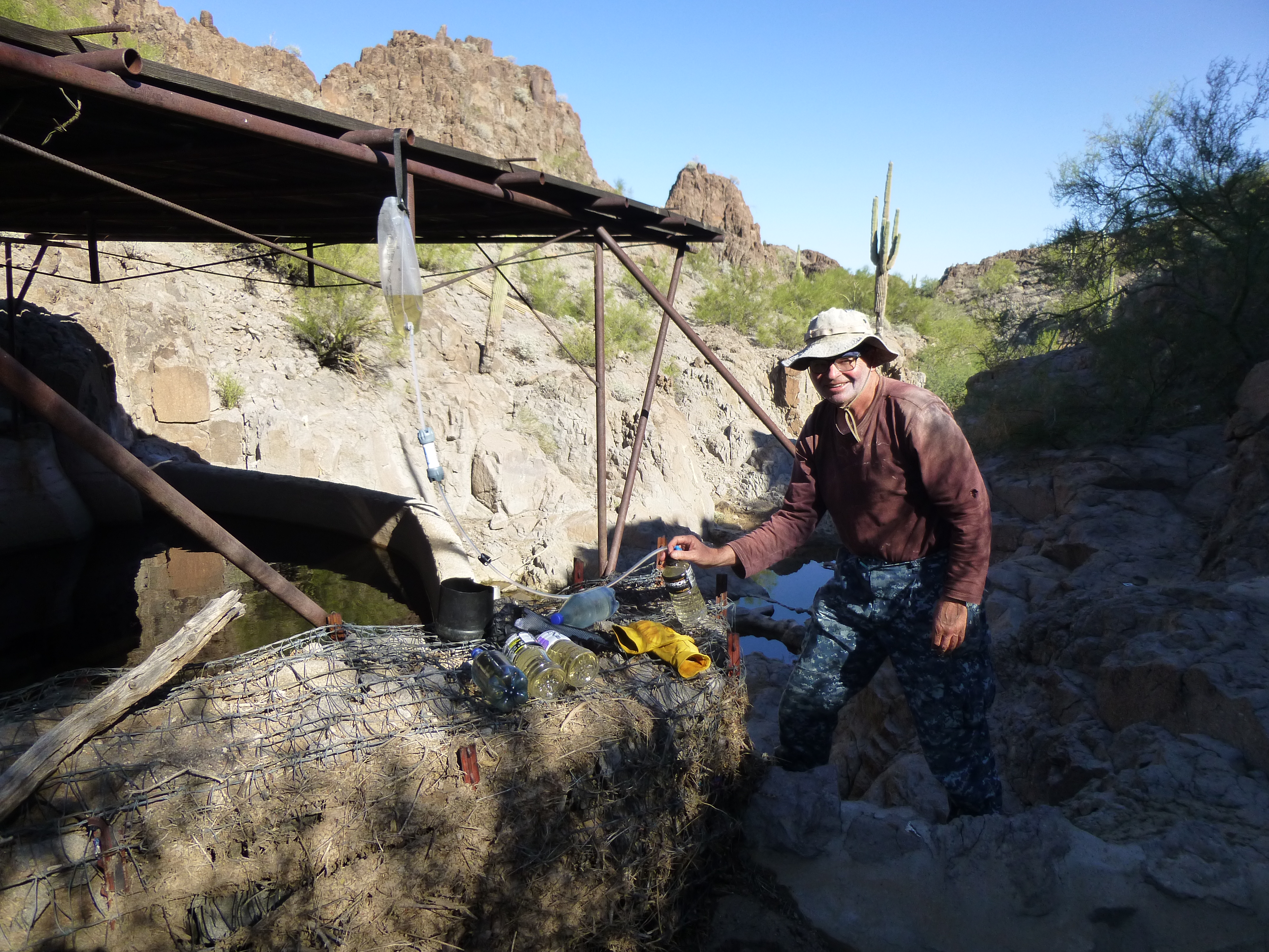
Filtering water – the dirty water is in the upper bladder.
We drank our fill, then found a camp-spot nearby in the flat, sandy wash.
The second campsite of the trip – it doesn’t get any better.
Okay, back to business. The reason we were here in the first place was to climb, and a peak stood nearby to the north. Before heading out, though, we needed to hide our gear. The water was a magnet for Bad Guys, and they’d happily steal our stuff if they found it. Once it was well-hidden, we set out for the peak.
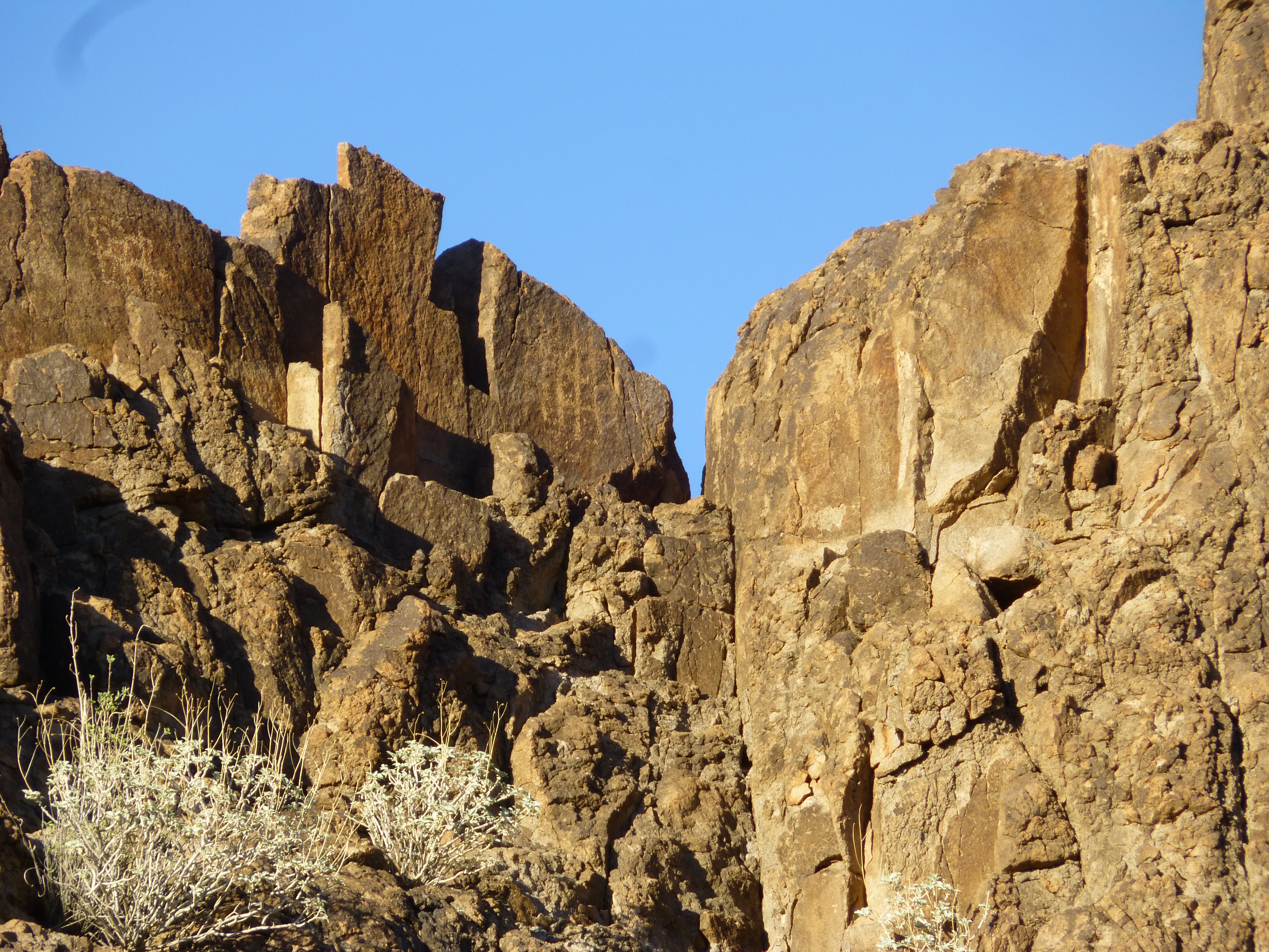
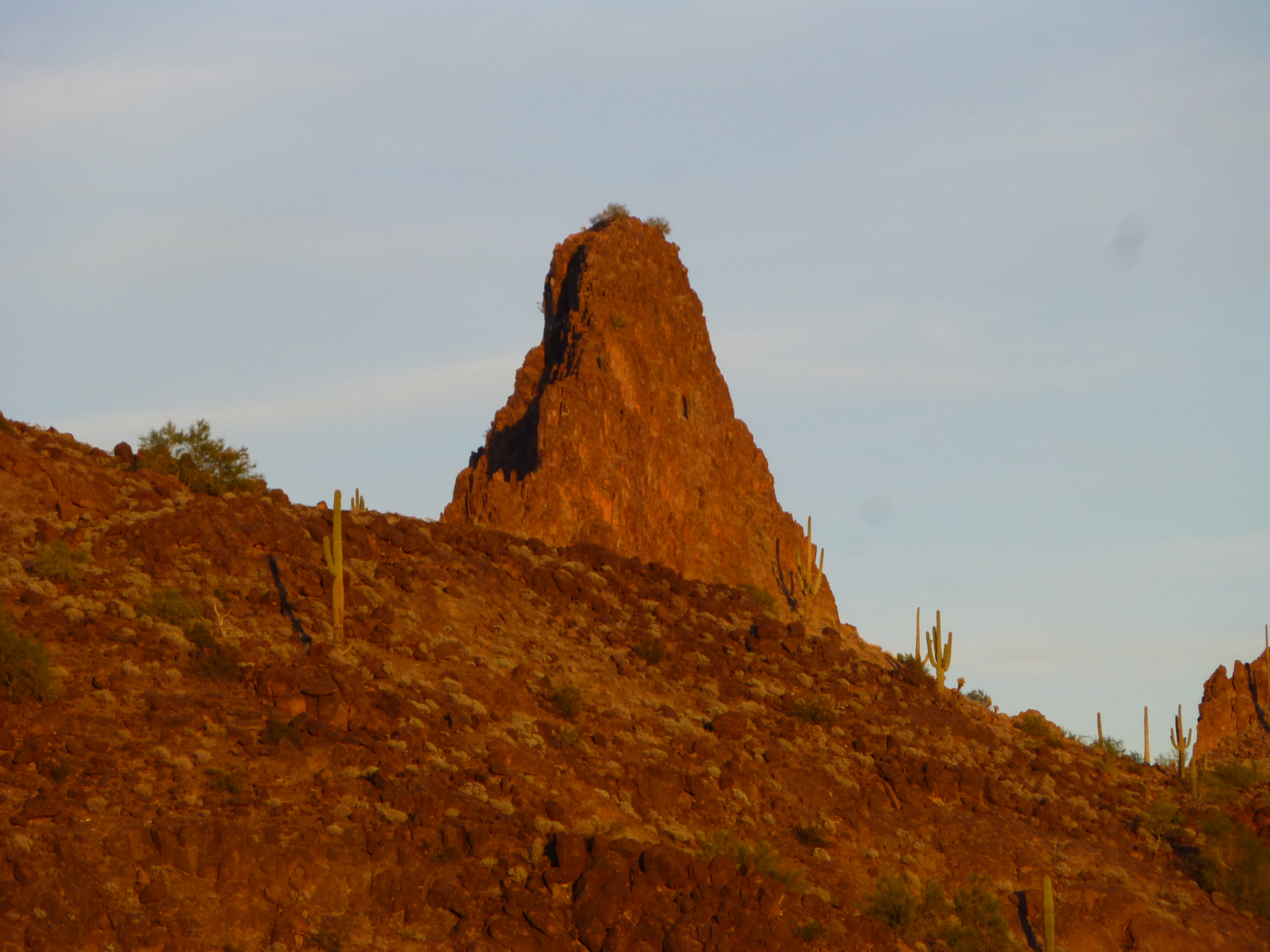
A striking set of pinnacles stood nearby.
Right beside camp
We wove our way through these, then crossed a flat, park-like area to reach the base of the small mountain.
Approaching the peak
It was short work to reach the summit, and what we found there was disappointing. It wasn’t the large surveyor’s cairn that bothered us, that in itself was a bit of history – it was what was just downslope from the summit. It caught our eye right away, a sort of shelter. Under the green boughs of a Palo Verde tree, some woollen Mexican blankets had been rigged up to provide relief from the elements.
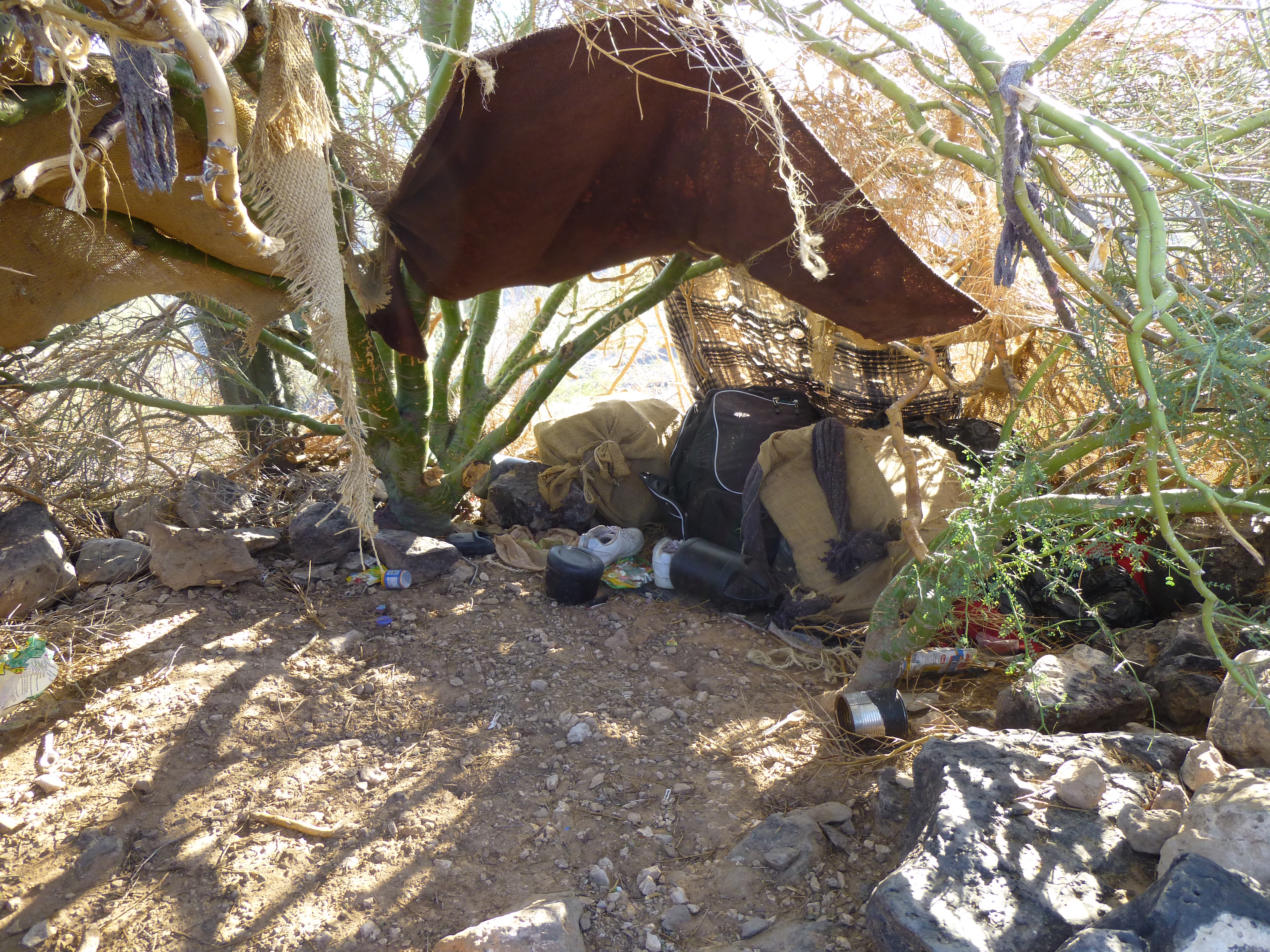
The lookout’s shelter
The presence of solar panels and a battery charger gave proof that scouts for the Mexican drug cartels were using this as a lookout point. This made perfect sense, given the nearby precious water, the only source for many miles. Suffice it to say that by the time we left, this lookout spot could no longer serve its purpose.
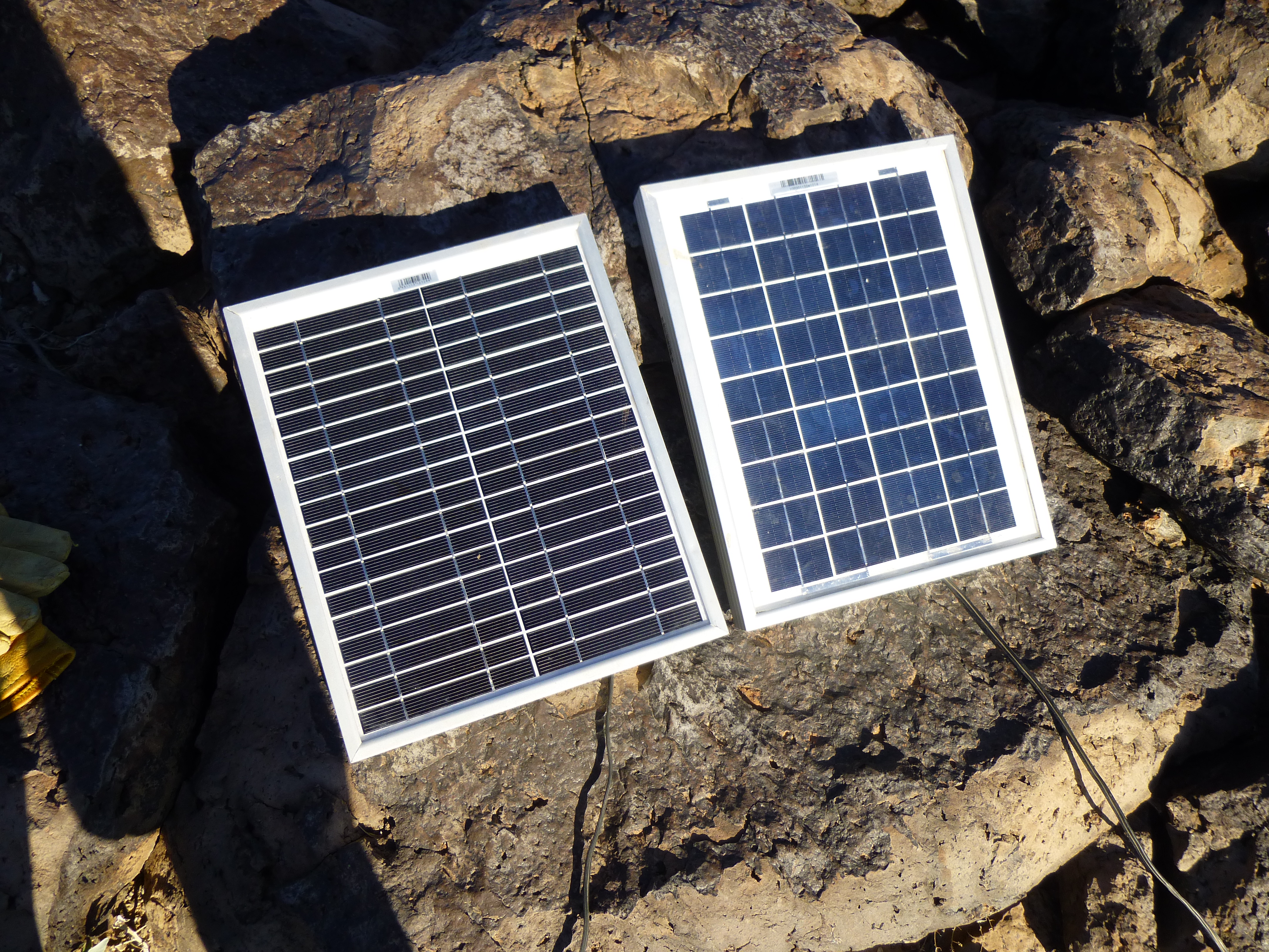
Solar panels
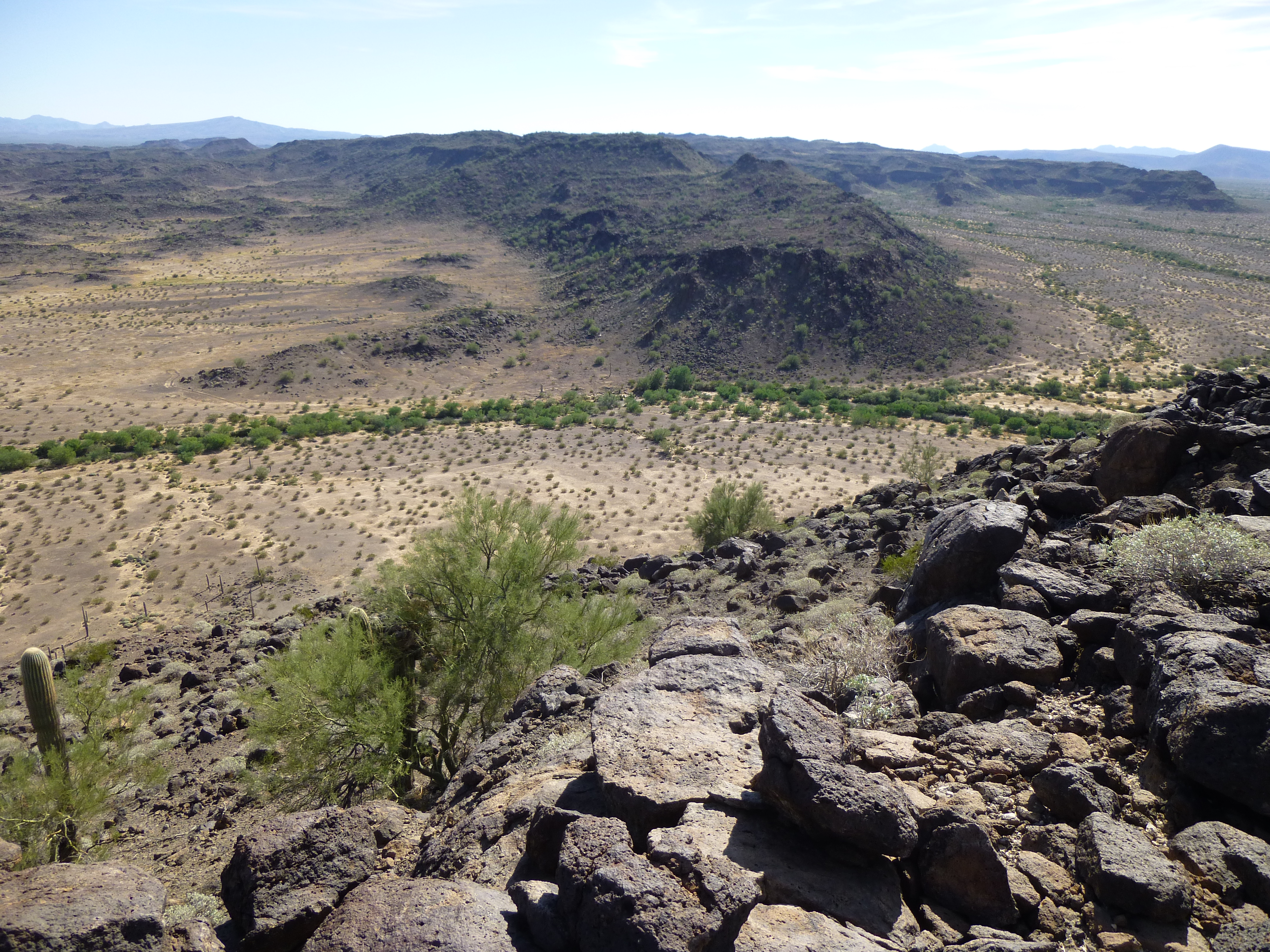
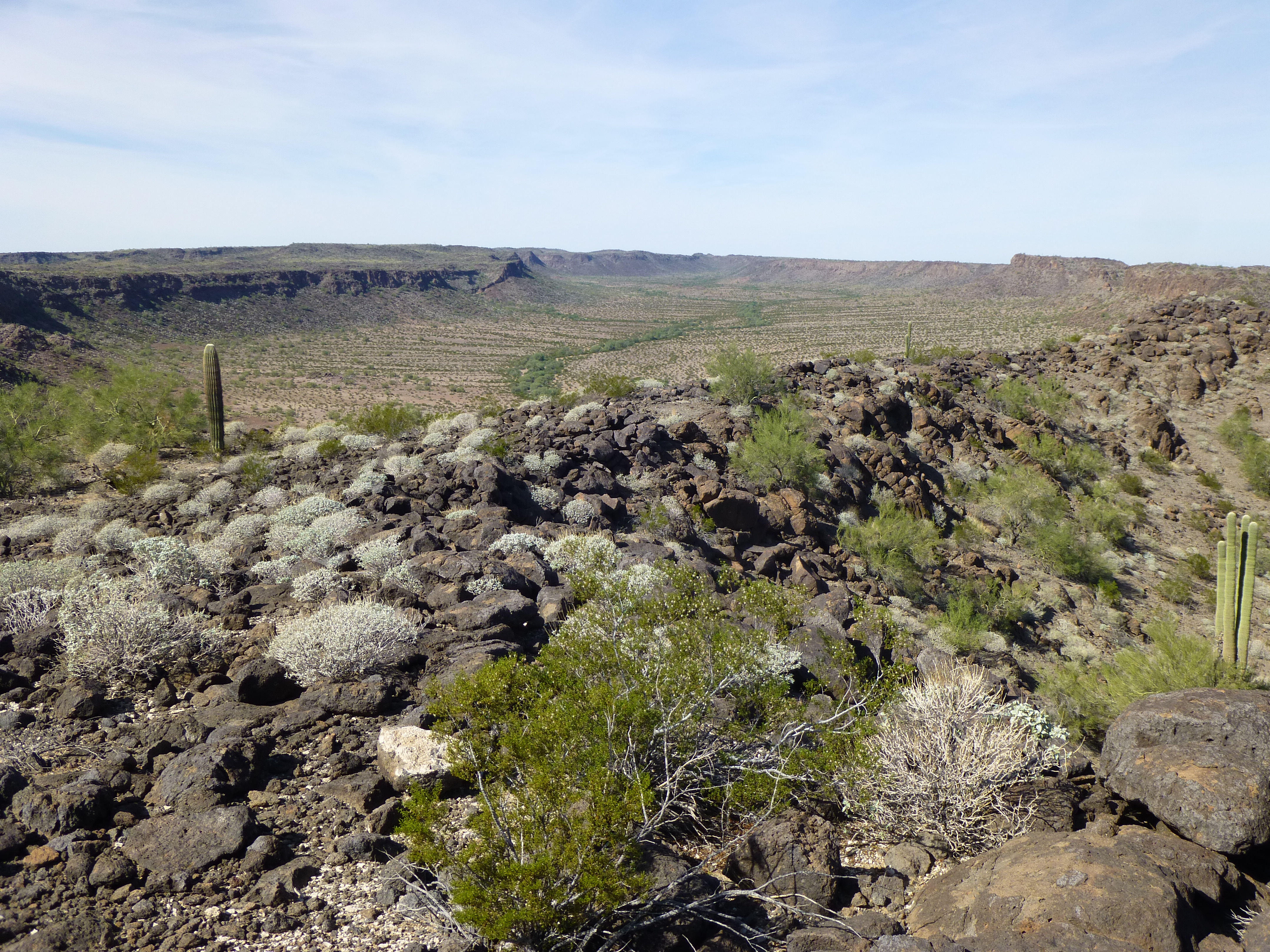
A commanding view was afforded from this mountain-top, and it was easy to see why lookouts would camp up here.
What a view!
More view.
They would guide those who were carrying loads of drugs through the desert below with two-way radios. Their aim was to avoid the Border Patrol at all costs, and they wouldn’t be too happy to see us either. One intriguing view we had was of a peak we knew we’d be climbing soon – this is a telephoto of it, only 6 miles away.
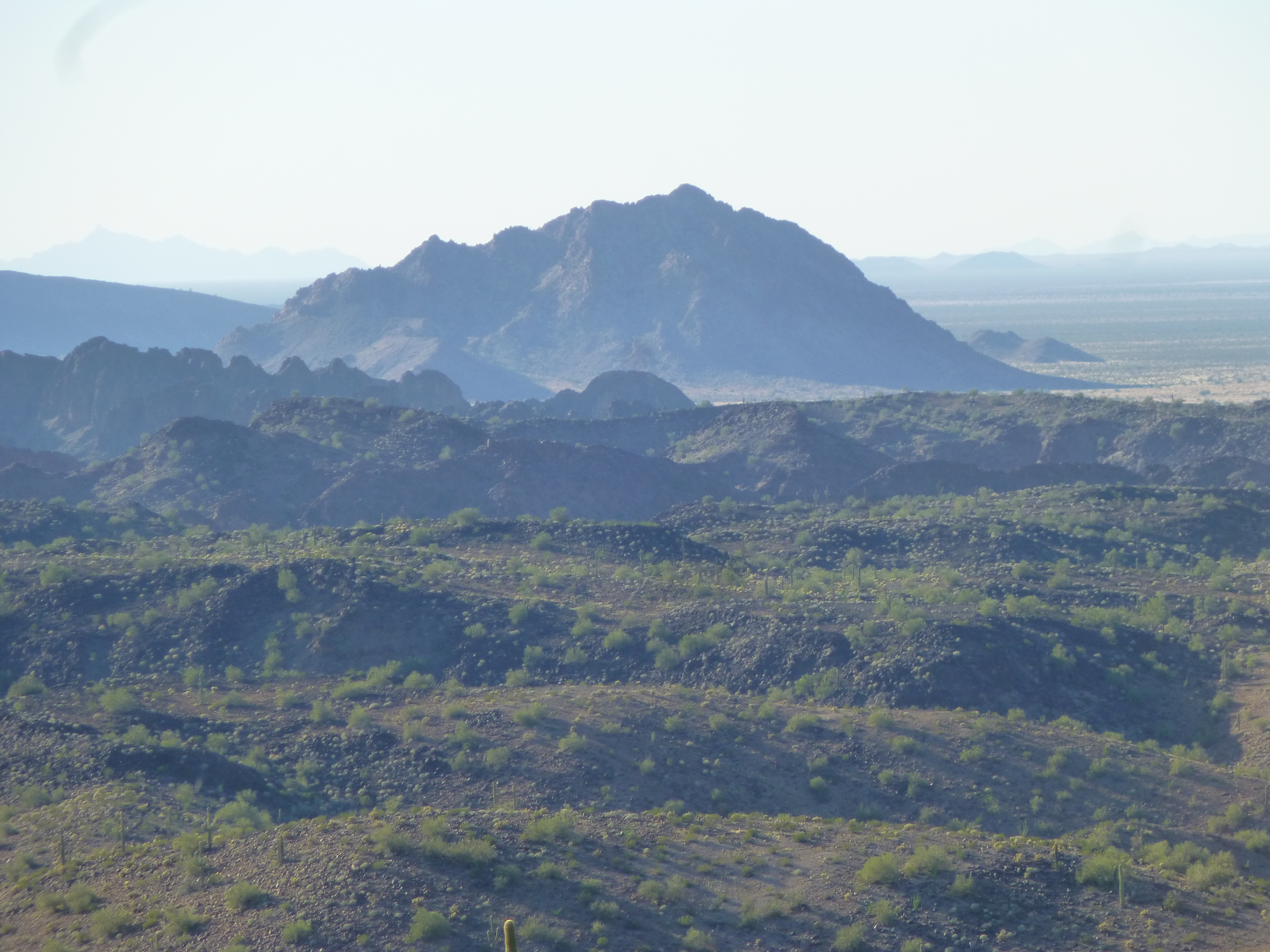
Another mystery peak
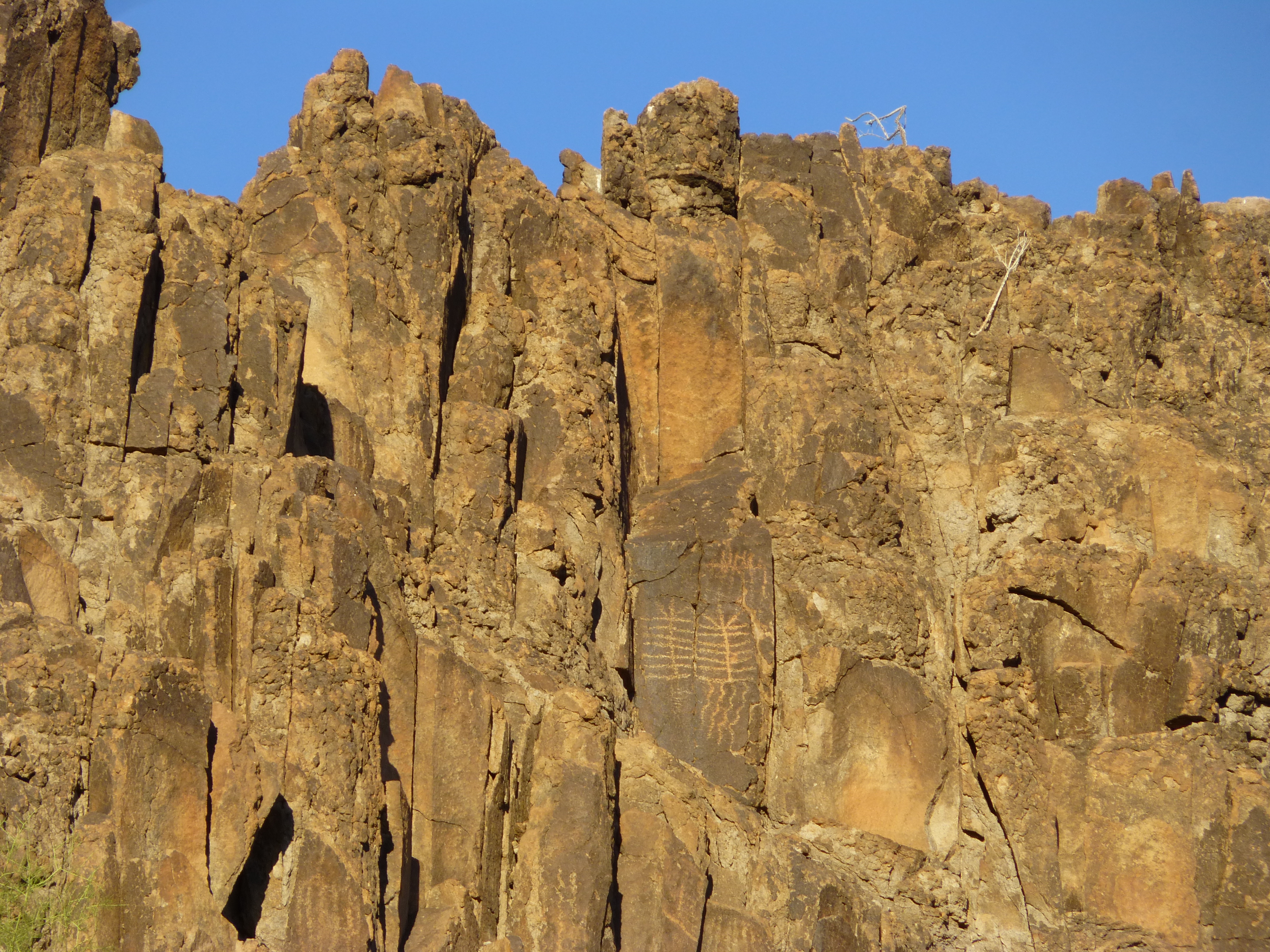
We left a summit register, knowing full well that Bad Guys would destroy it soon enough. Back down the way we’d ascended, we were back at camp by 4:30, about 2 hours after we left. There was one more thing that needed doing. This site had been used as a water supply for centuries, and the early peoples who had lived here had left their mark. The cliffs above us bore ancient petroglyphs, some of which could be 1,500 years old.
Petroglyphs
This spot was sacred to a group of southwest native peoples known as the Ten Tribes, and they wanted the government to remove their handiwork and restore it to its original condition – no concrete, no roof.
More petroglyphs
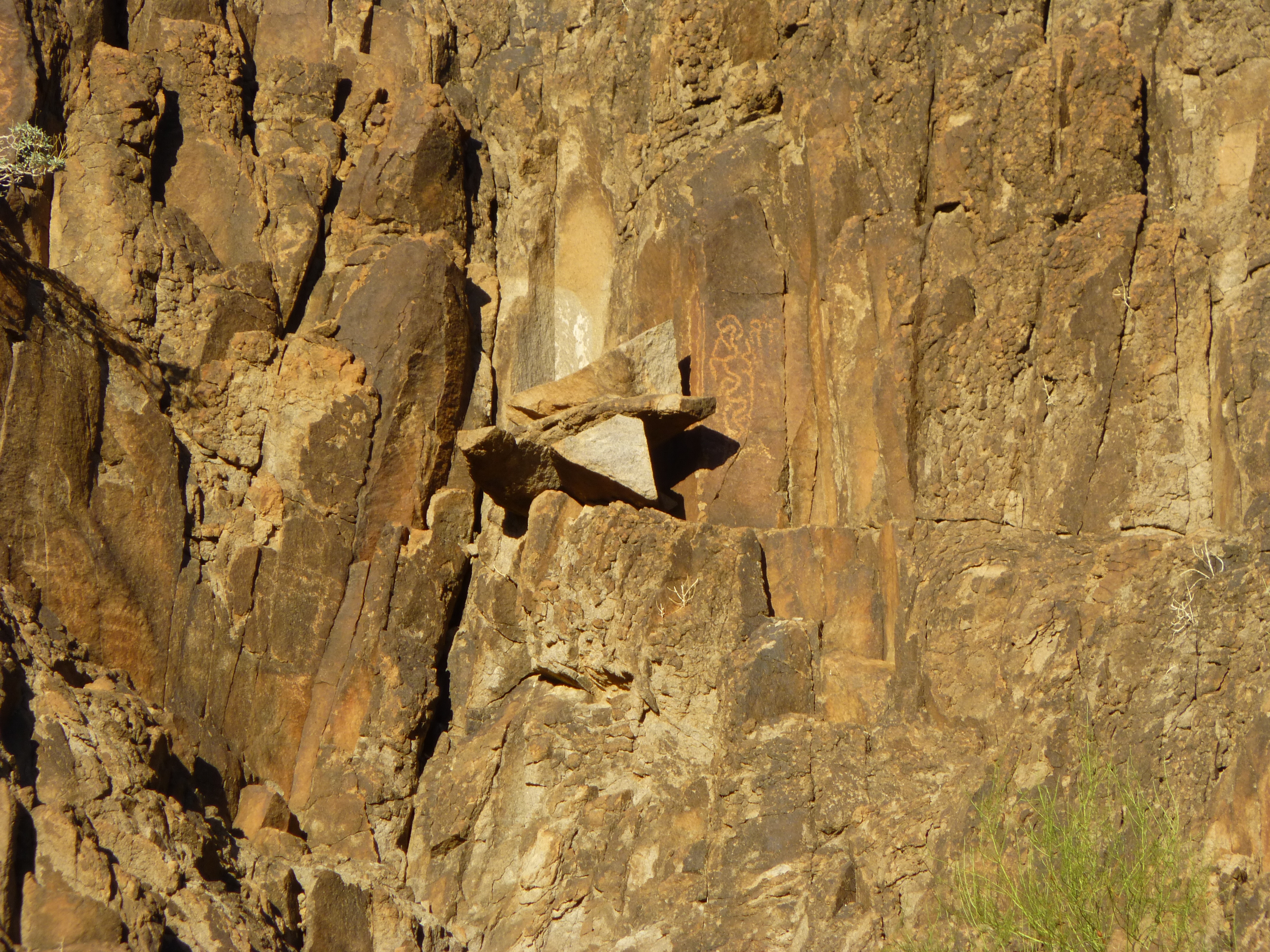
More petroglyphs
We wished we’d had more time to explore, but night was fast approaching and we needed an early start in the morning. After cooking some supper, we soon retired to a quiet night of restful sleep.
At first light, we ate, packed up and filtered more water. While doing that, we noticed a bronze medallion affixed to the rock – it had been placed there by several groups as a joint effort. A Latin motto had been stamped on it – “sine aqua mortis” – which translates as “without water, death”. Here’s a cool reflection in the next pool below the concrete dam.
Reflected saguaro
It was 7:45 AM by the time we walked away from the oasis. The early morning sun lit the tops of nearby peaks.
Early morning light
We made it out to the bikes, sitting just as we’d left them. On we hopped and pedaled away. A couple of miles later, once out of the morning shadows of our valley, the sun hit us, as well as a headwind. My strongest memory of that 5-mile roadless stretch was how incredibly sore my ass became. It’s hard to put into words how painful it became sitting on those bike seats – we had to dismount more and more frequently, making up excuses to stop.
Resting our aching asses
Finally, we reached the northernmost water cache and drank our fill – the water we had buried in the sand was undisturbed.
At our northern cache
Leaving the bikes in the wash, we set out on foot to climb a nearby peak, the work of half an hour. This was a virgin summit, bearing no trace of any previous visit. From it, you can see down to the gap in the range where we had buried our water in the sand of the wash.
The low gap in the range
We built a cairn and left a register, but noticed something odd – the topographic contours on the map were wrong. What had been shown on the map as the highest point actually had two extra 20-foot contours it didn’t deserve. Even the 530 feet separating the two points left no doubt which one was higher.
This next photo shows a long, flat valley that had been considered as an alternate route for this adventure, instead of the empty 5-mile stretch. If I were to ever go in again, I think I’d try this.
The unknown valley
We took a different route down and soon stood in the wash by our bikes and gear.
The virgin peak as seen from our cache
It was now a push to the finish line – at the rate we were going, we’d be done and back to the highway with hours of daylight remaining. It would be an easy ride south to our first cache, where water and food awaited. Except for one small detail, a terrible mistake I made – I’m embarrassed to tell you about it, but hopefully others can learn from my mistake. We scrambled out of the wash with our packs and bikes and started riding. We hadn’t gone a hundred feet when I heard an odd noise and hollered at Mark to wait up. Right away, the problem became apparent – my rear tire was flat. That could happen to any cyclist, right? We had taken steps to minimize flats – tire liners, tube sealant – but obviously that hadn’t worked. No problem, I even had a spare tube with my bike gear in my pack, so I was all set, right? This shouldn’t take too long to fix, half an hour tops. Then it hit me, the blunder of the century! At home, I had taken my adjustable crescent wrench out of my bike gear to use for something else and had failed to put it back afterwards. Unlike Mark’s bike, mine didn’t have a quick-release on the rear wheel, which meant that without a wrench I couldn’t take the wheel off the bike to replace the tube. We could have worked the tube loose from the tire and pumped some air into it to find the puncture (yes, I actually had a pump) but we had no tube repair kit. I felt like I was becoming stoopider by the minute. It was now glaringly apparent I was going to be walking the bike for a long way, and none too quickly at that. Thank God it wasn’t 100 degrees plus, or it could have been a fatal mistake.
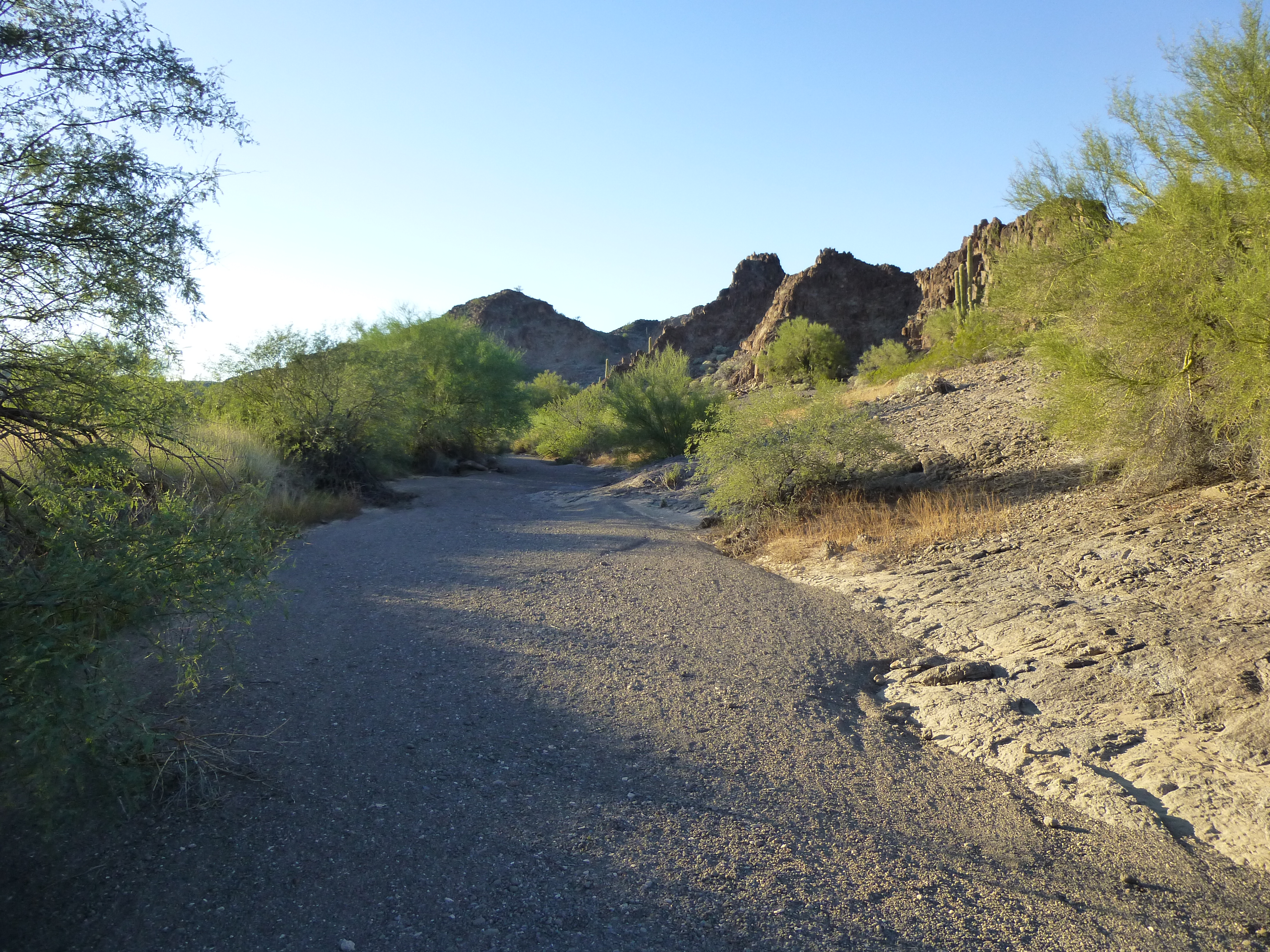
So, walk the bike I did, full pack on my back, while Mark easily rode along nearby. We found an old road, easy to follow, which made the going easier.
The old road
Two miles later, we reached our final cache at 1:40 in the afternoon. There, we loaded up with our last water and food, plenty to get us out. Mark graciously took the lion’s share of the weight, as he was still able to ride. Along our path, protruding from the sand, was this piece of military paraphernalia.
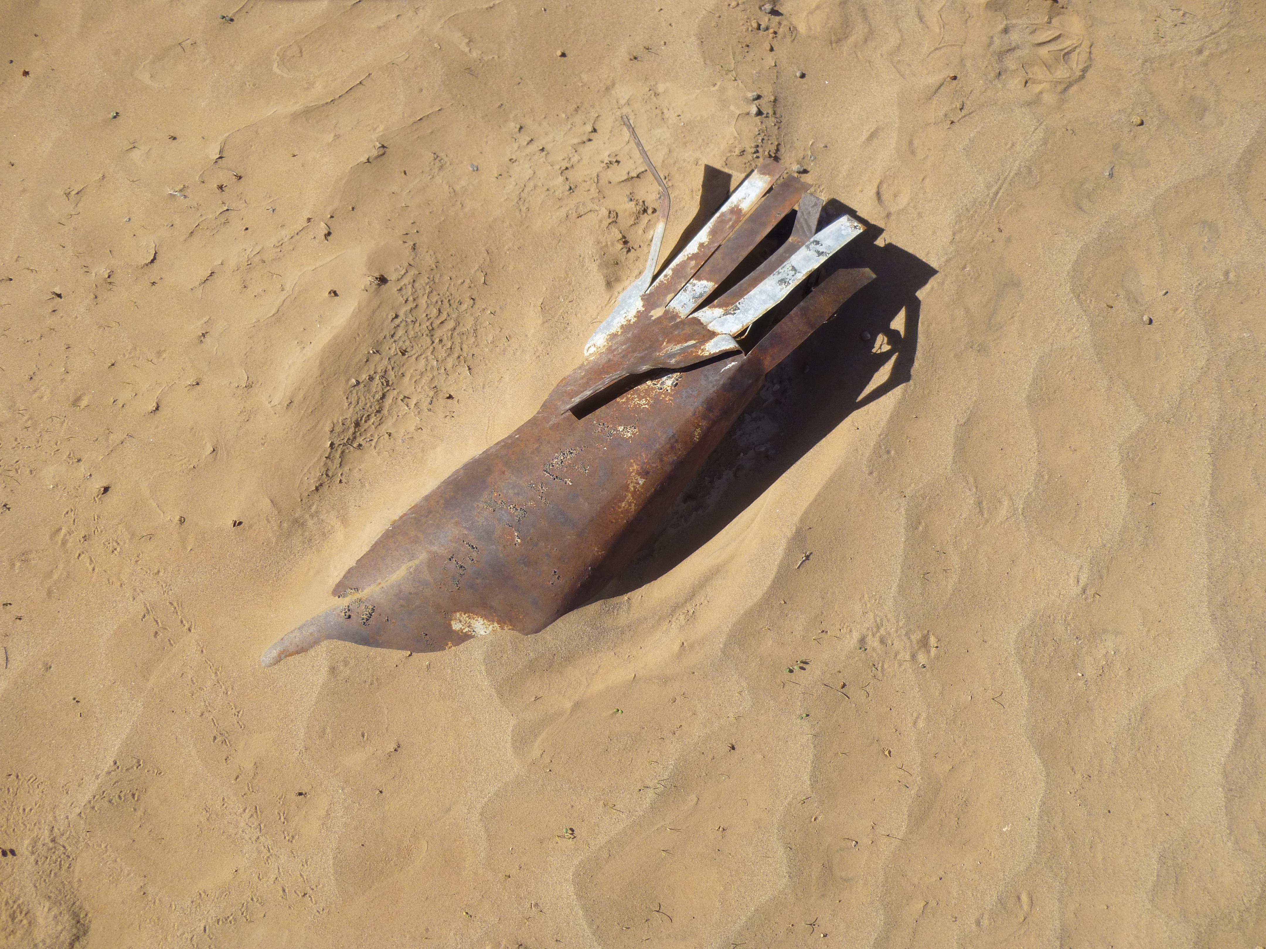
Who knows?
We would now cover new ground, making a beeline for our final peak – we’d hug the southern slope of the range, thankfully on flat ground. By about 3:15 we’d reached the ideal spot from which to climb.
With just a few items in our day packs, it was a quick 40 minutes to climb the 500 vertical feet, arriving just after four o’clock. First, we visited a benchmark left by surveyors back in 1948. The map showed a higher contour 385 feet to the east, but that was clearly wrong, the second map error of the day. The benchmark was easily 15 feet higher, and the true high point of the peak. No worries, we took photos and left our register.
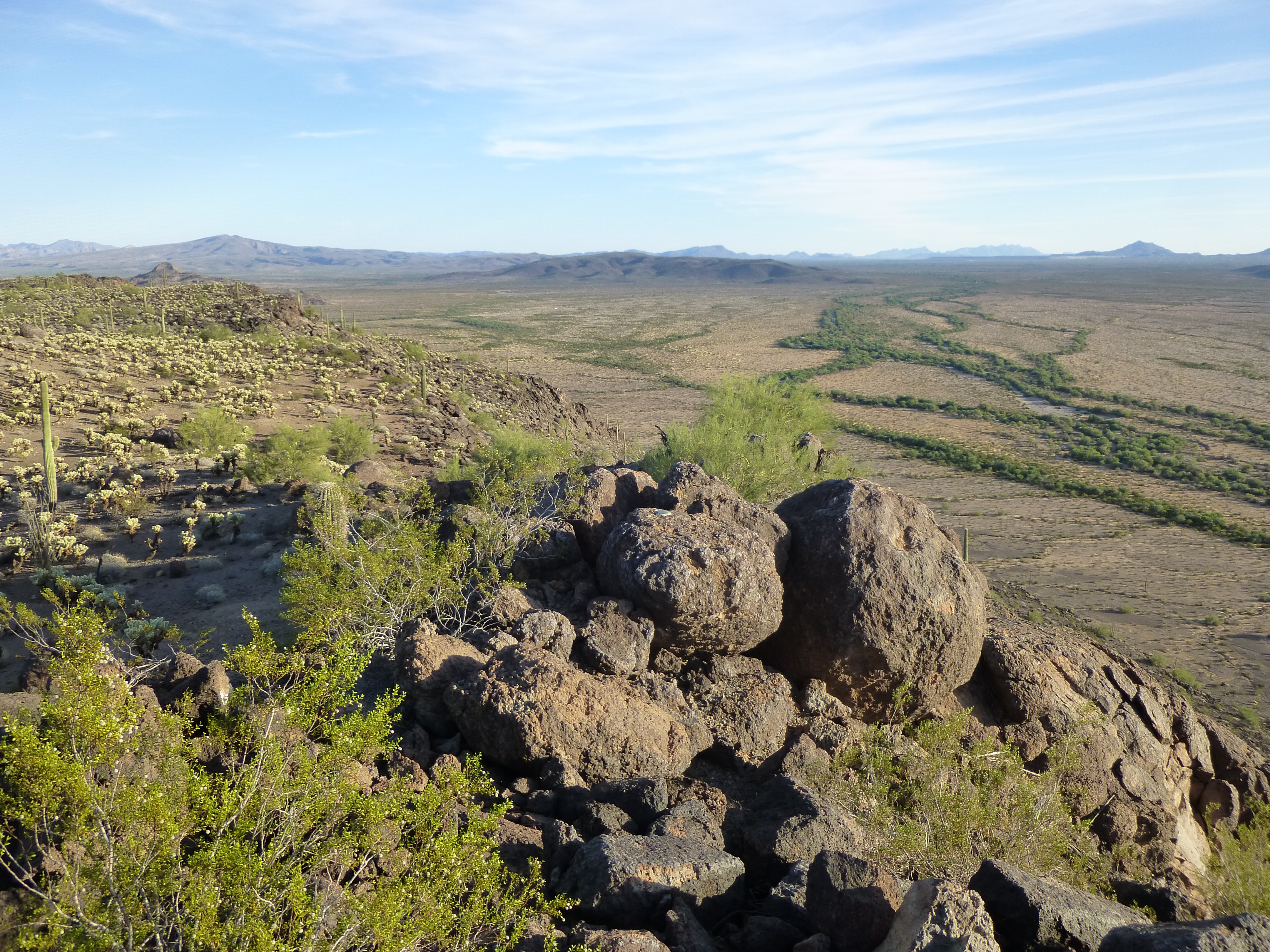
Looking down to the valley bottom from our benchmark summit.
It was a beautiful time of day, the light a golden color, and it would have been great to stay up there and watch the sun set, but we still had miles to go. Down we went, back to the bikes around 5:00 PM.
Here was our plan – Mark would ride out to the highway while I slowly walked my bike. Once there, he’d hide his pack and ride south along the highway to retrieve the truck, and eventually I’d also reach the highway and wait for him. We had FRS radios to keep in touch. There was an element of risk, though – the speed limit was 65 mph, and there was no shoulder, so it would be a scary proposition trying to not get killed by the idiots who drove that road, half of them drunk, on their way to or from a popular Mexican seaside resort. Mark rode like a bat out of hell in the fading daylight, leaving the road each time someone came roaring up behind. He reached the truck okay, then drove back to pick me up off the side of the highway.
After he left, I walked along in the fading light, shadows long, with the glow of the risen super-moon. This is a view looking back, our last peak on the right.
Looking back
Even the last mile in this range showed off its splendor.
Unclimbed pinnacle
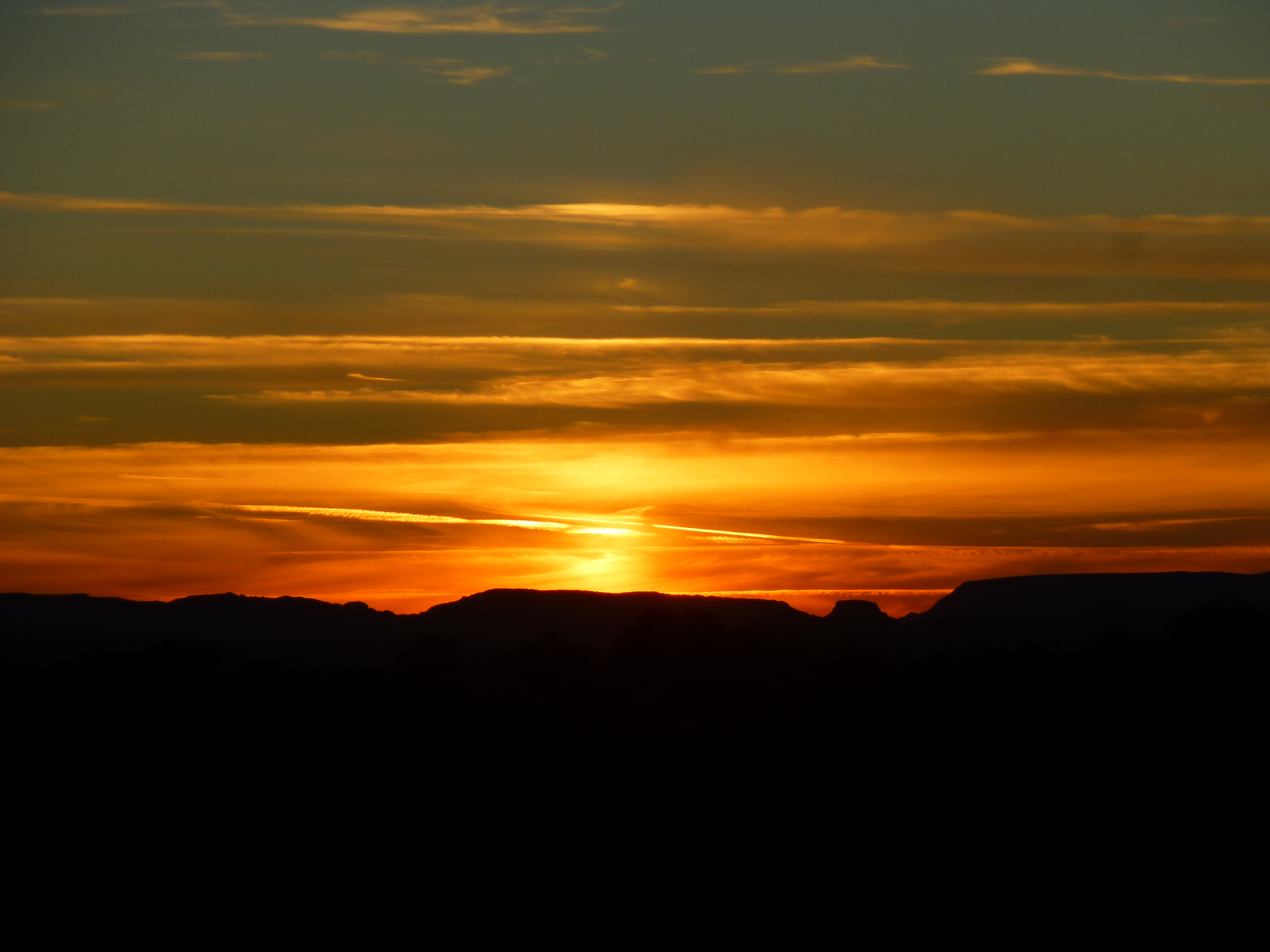
Desert sunset
By the time I reached the highway, it was dark. We loaded the bikes and packs into the truck, drove the 2.5 miles south to pick up the extra gear we’d stashed the night we’d started out, then drove to the nearby town for a meal. That done, we made our way to his car and loaded his gear into it. He camped another night nearby in a quiet desert spot while I drove home to Tucson by 11:00 PM. It had been a great trip – 3 peaks climbed, lessons learned, nobody hurt. Together we had covered 38.6 miles on foot and bike, and add another 2.5 for Mark for a total for him of 41.1 miles.
It’s been apparent to you by now that I haven’t identified any of the peaks we climbed on this trip, haven’t been very specific about any of the places we visited. That’s for a reason. Some things can’t be revealed, but I still hope that you enjoyed our journey.
Please visit our Facebook page at https://www.facebook.com/pages/Desert-Mountaineer/192730747542690