
Please be sure to read the previous installment of this story, “The Growler Mountains – Part 1” before starting in on this one.
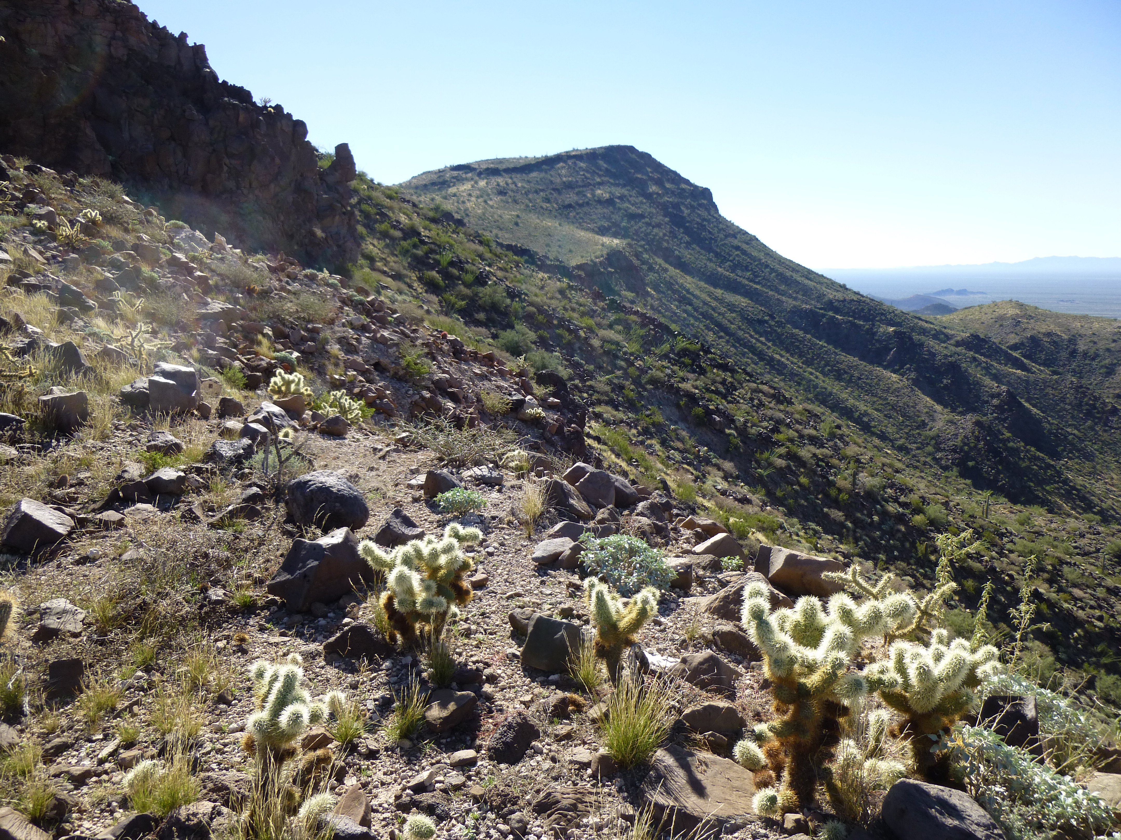
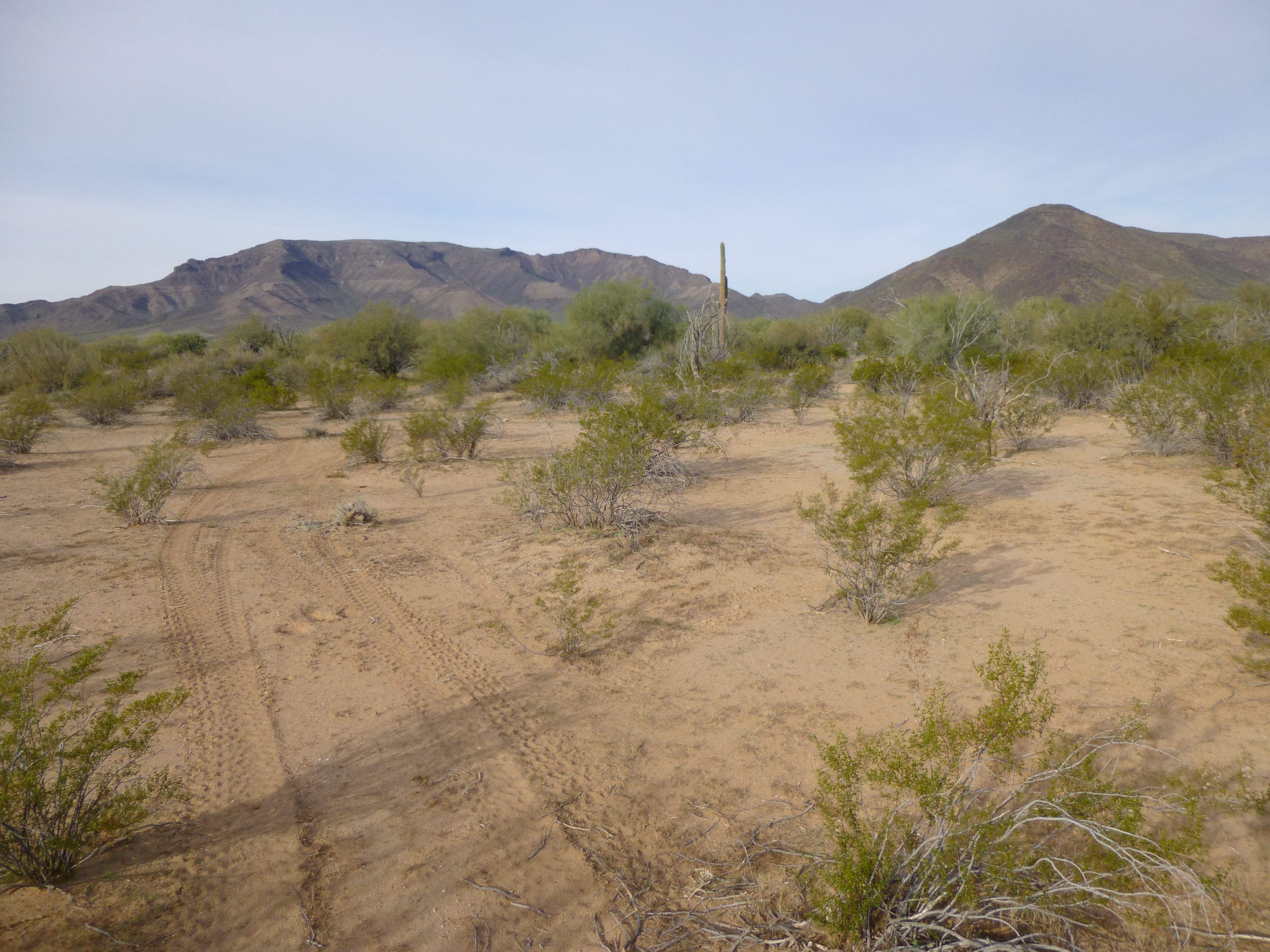
So here we are, continuing north along the ridge from Charley Benchmark. It’s five full miles to the next peak. Many of you might think that’s no big deal, a mere 5 miles, right? That’s a nice 2-hour walk for most people, but not here. Even though there’s no bushwhacking, no rivers to cross, no bugs to swat, this is going to take you a while. This country is so convoluted that you’ll have to cross no fewer than 30 distinct bumps in that five miles, and chances are you’ll be all tuckered out by the time you’re done. You’ll be walking along the edge of the most amazing drop-off – it’s still on your left, like before. The views are unforgettable, but you may have to share them with drug cartel scouts, so good luck. And think about this – you may want to be armed. Have you noticed that I’ve been talking more about Bad Guys as we go along? Trust me, I need to, especially if you have any plans to go into this part of the range. At least you’ve been forewarned.
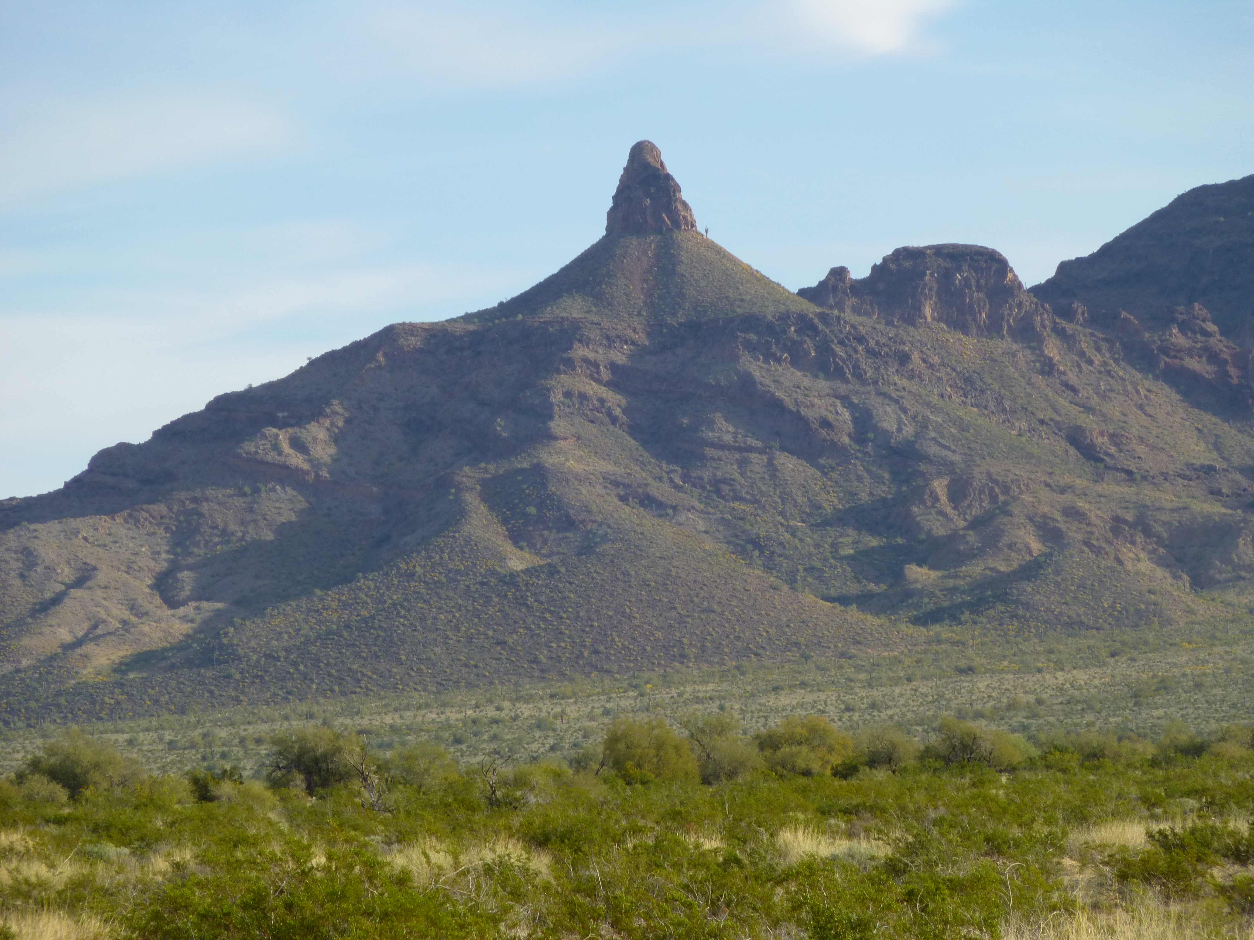
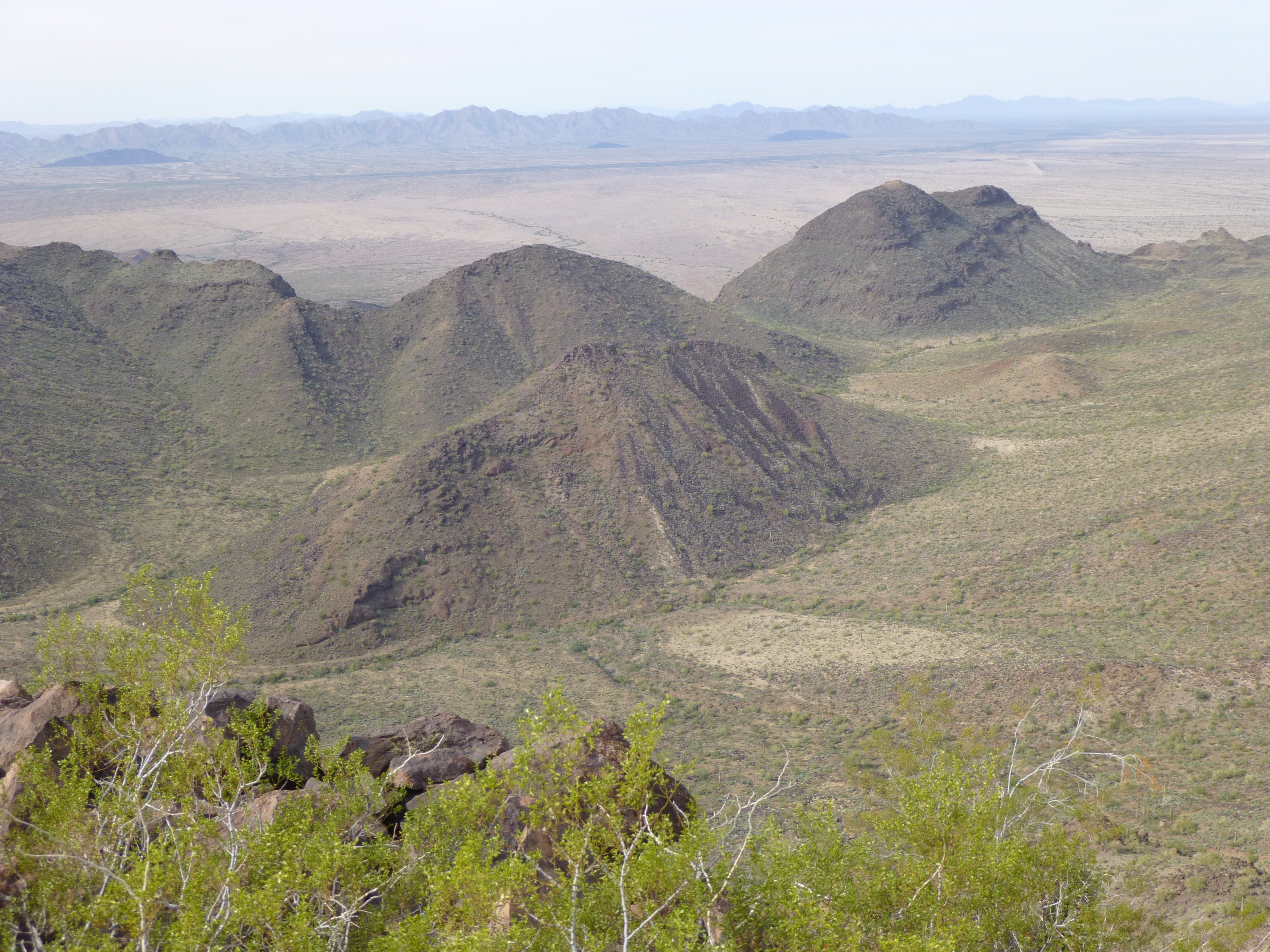
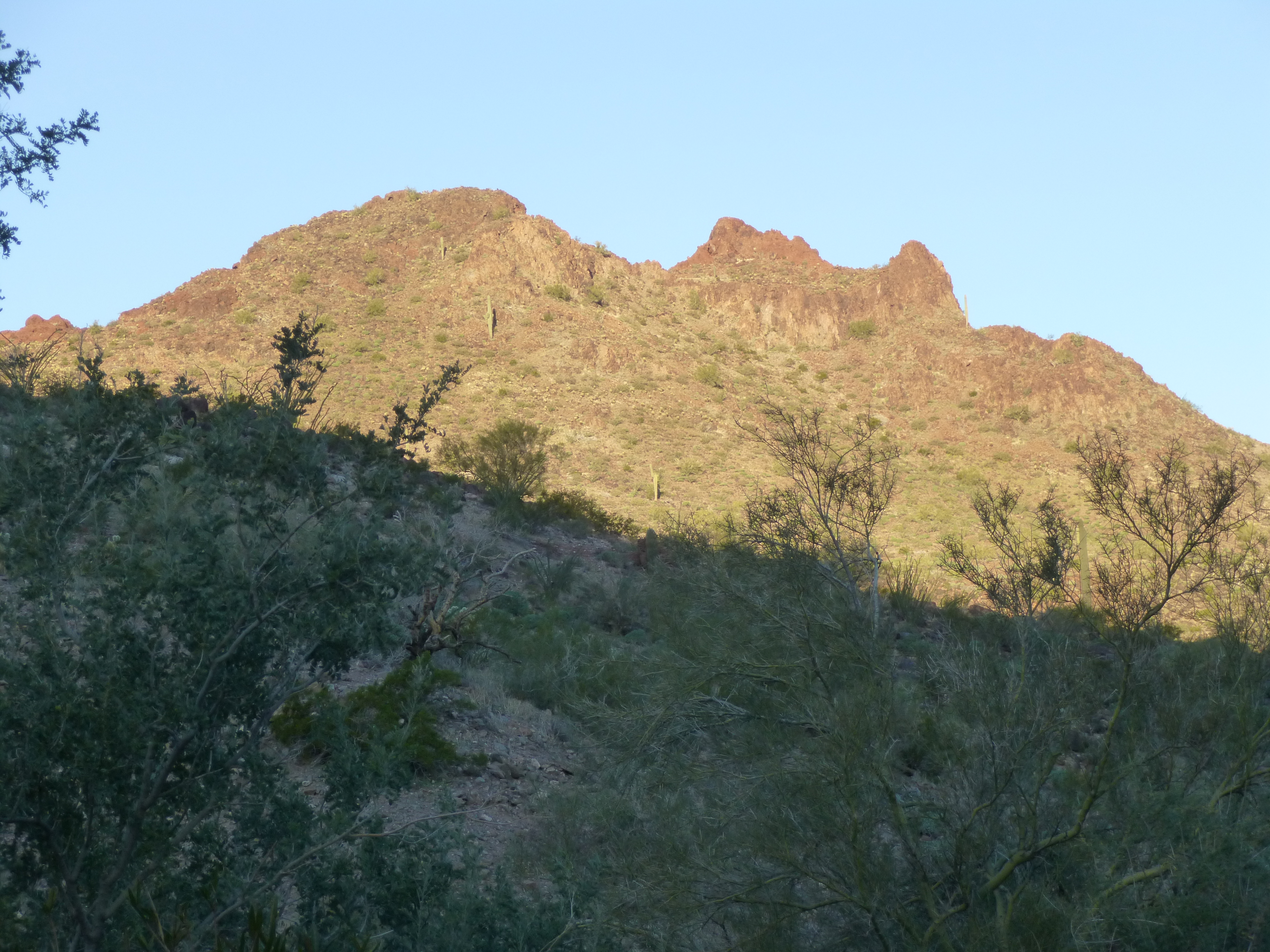
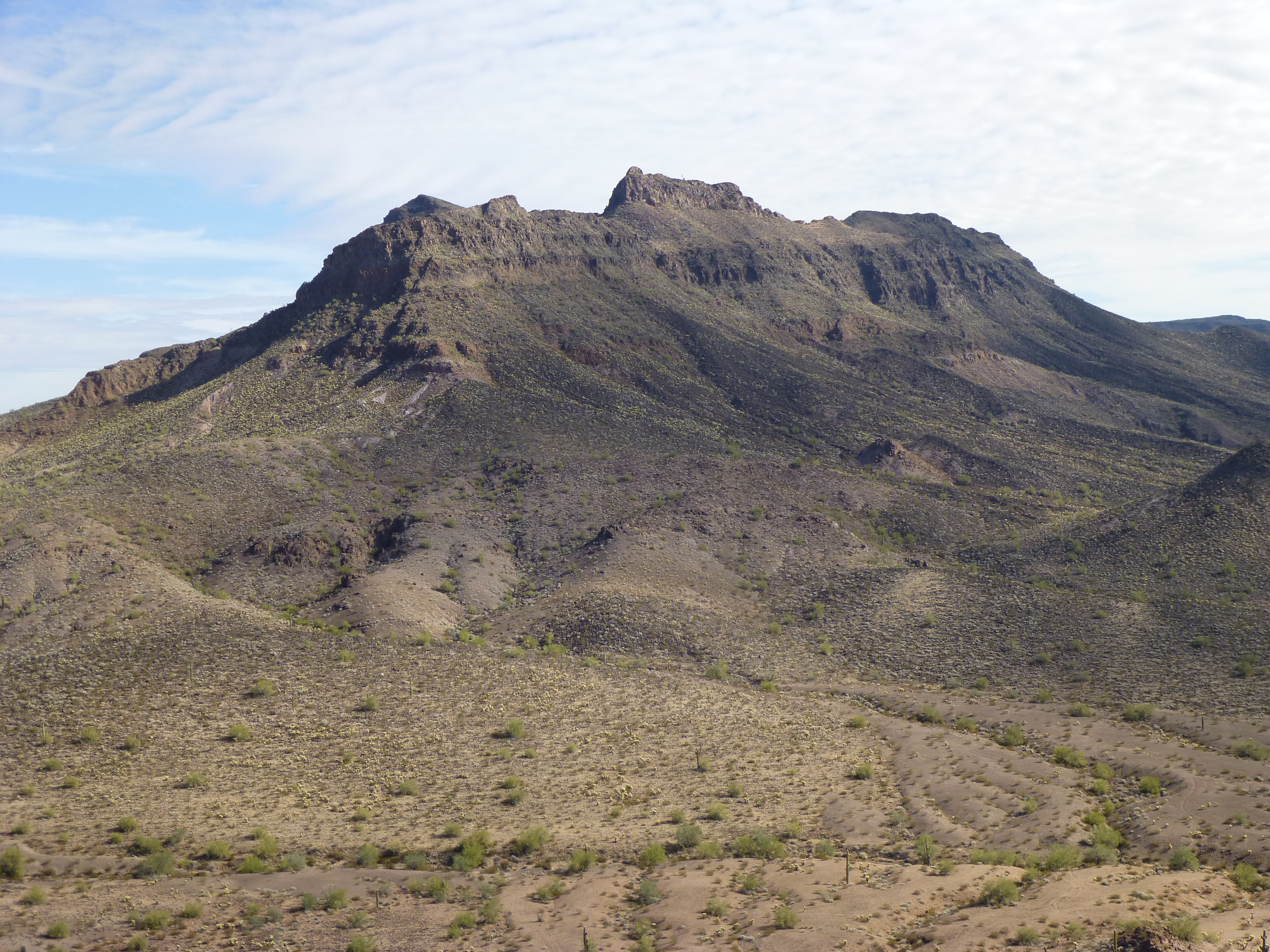
So assuming you’ve survived that 5 miles, you’ll find yourself atop Peak 2450. A few have climbed this one, but all have done it from the north, as did Bob Packard and I one fine winter’s day two years ago.
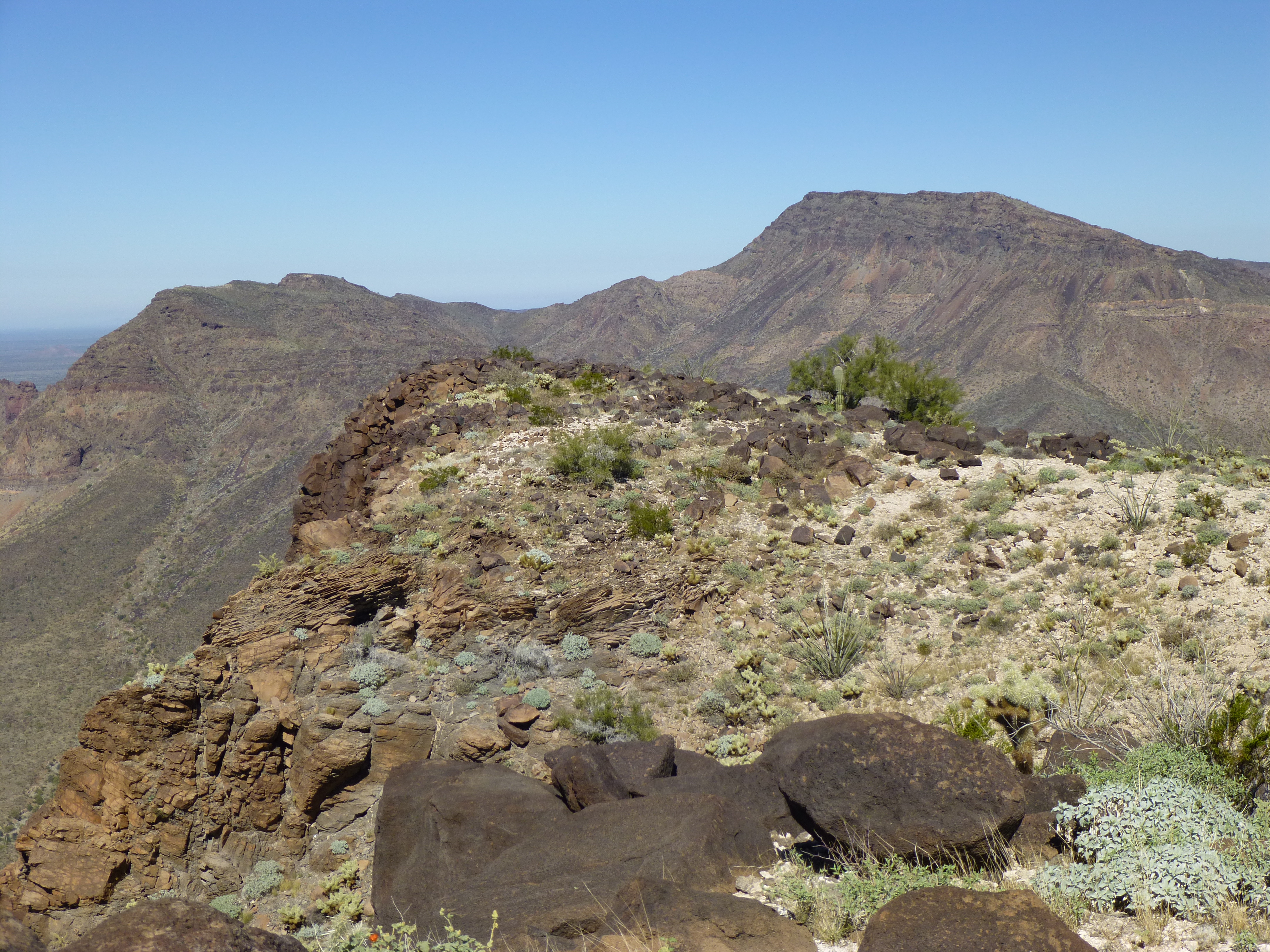
Looking south to Peak 2450, the big one in the distance
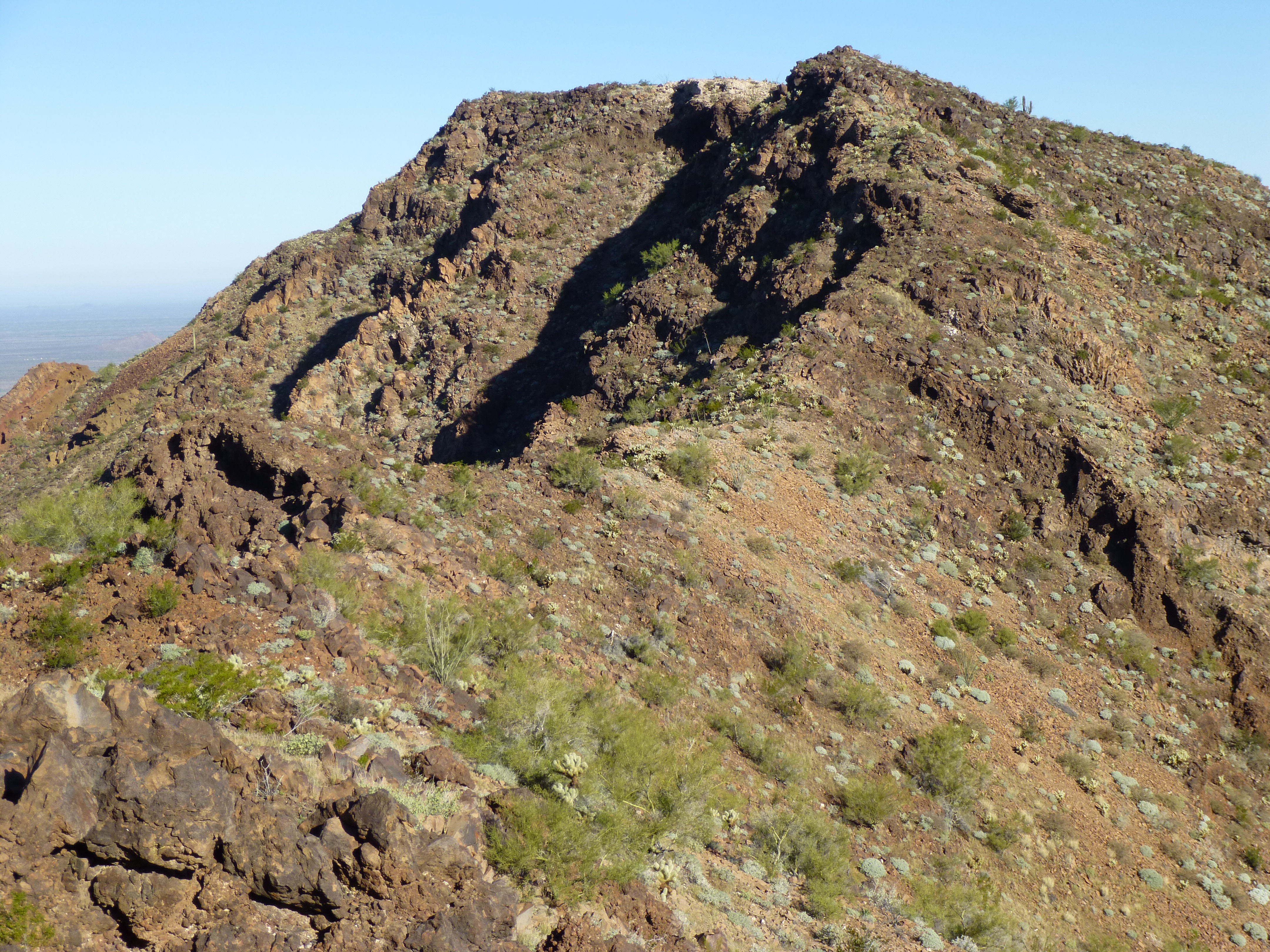
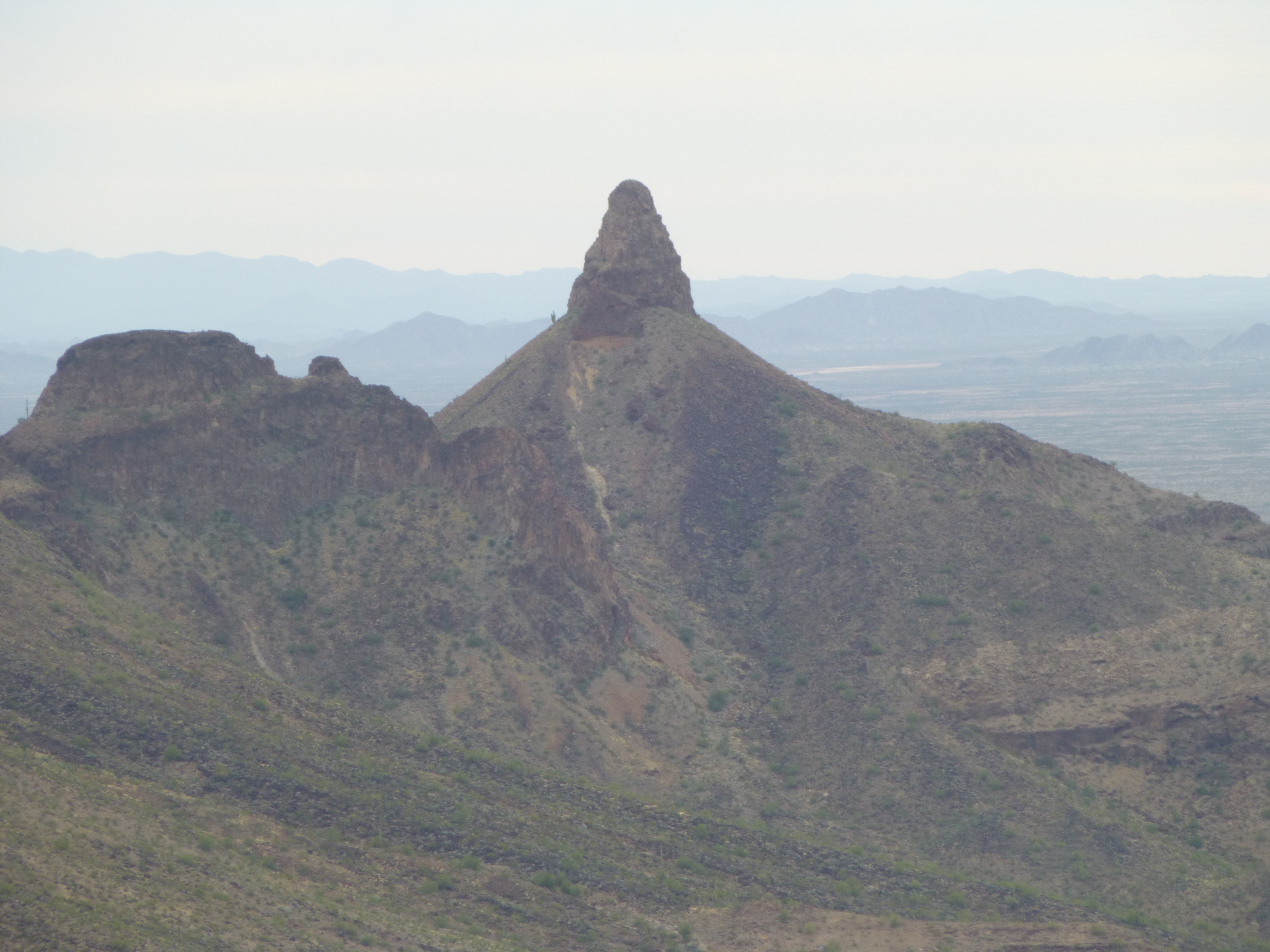
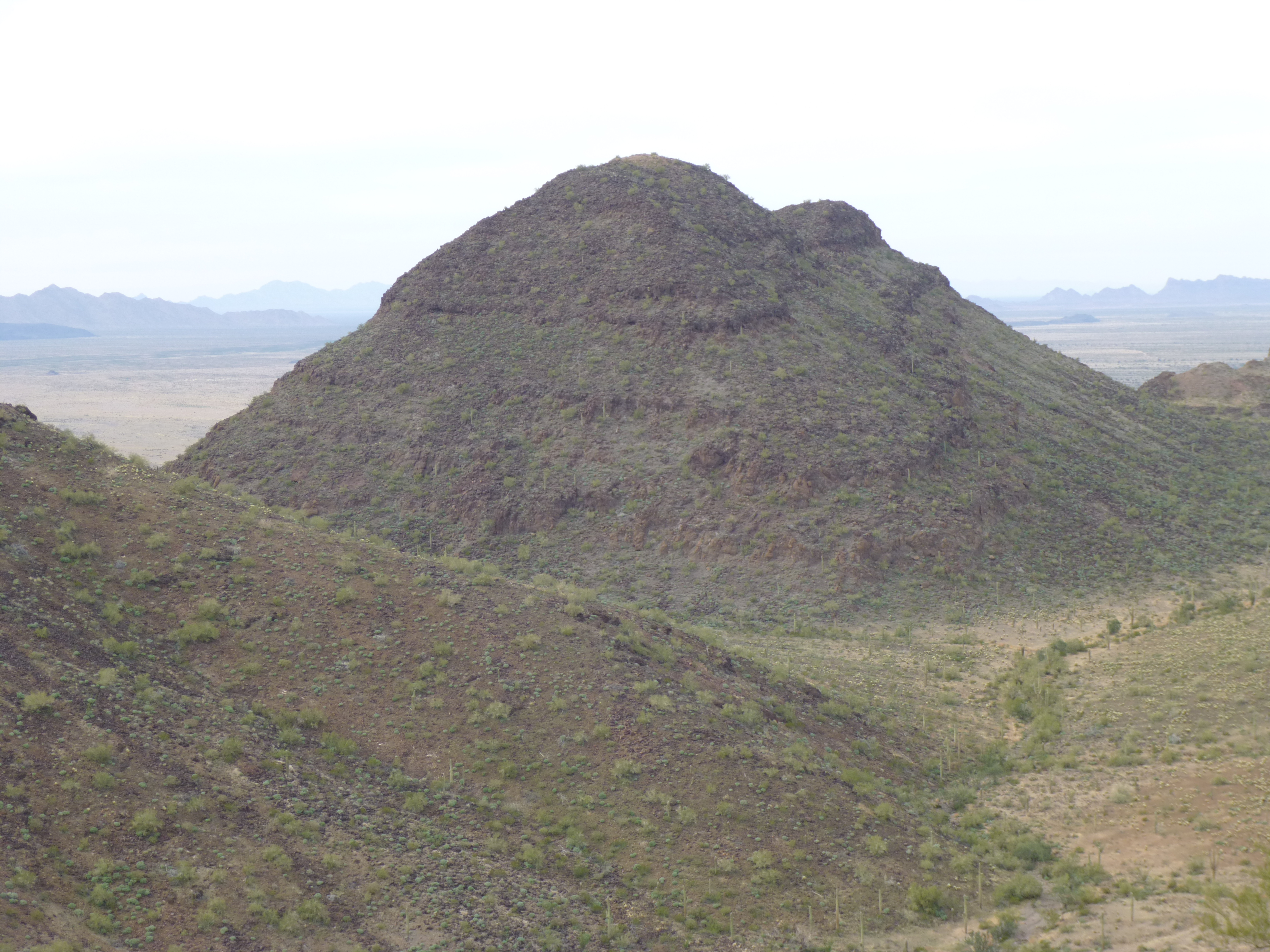
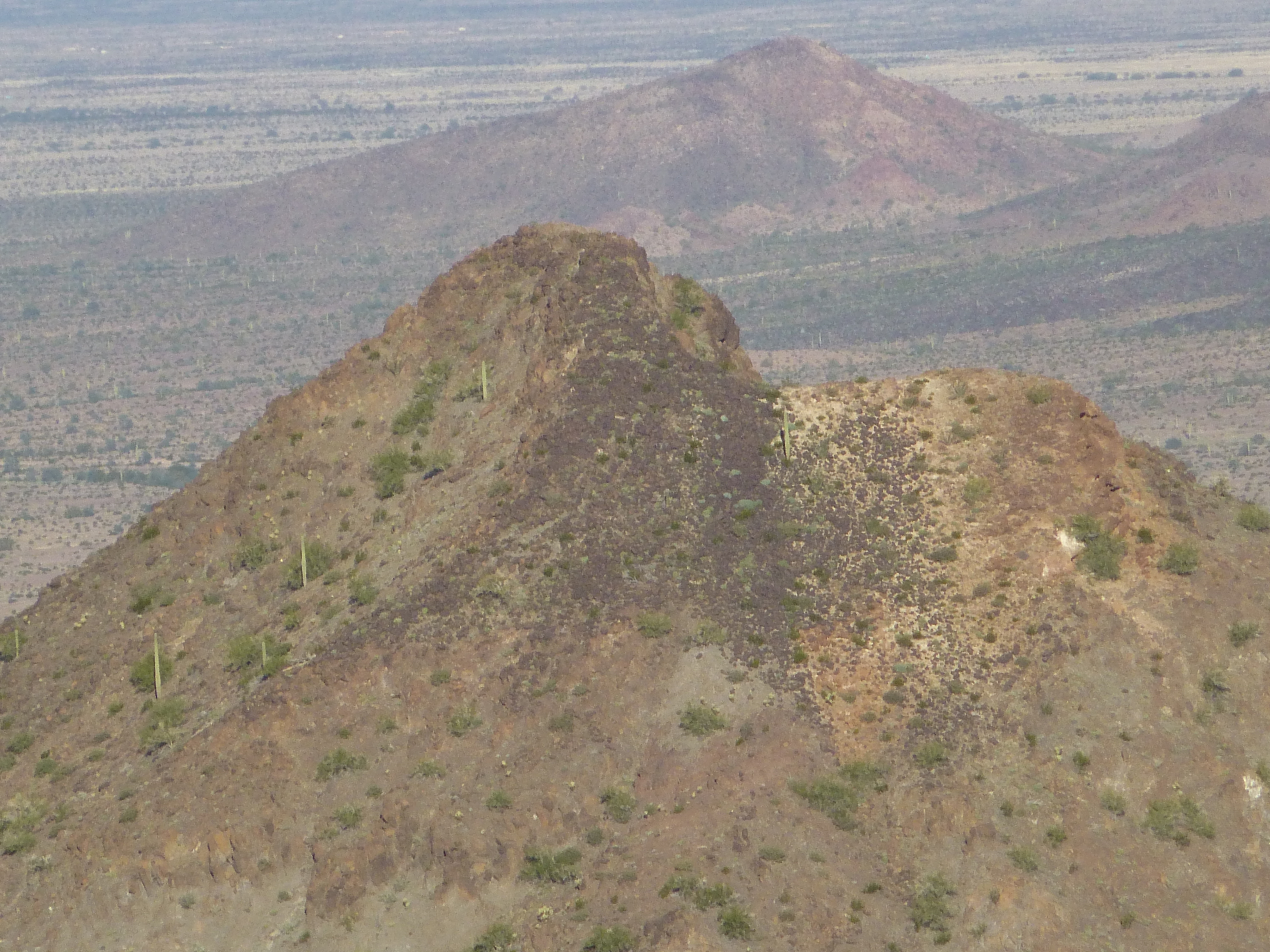
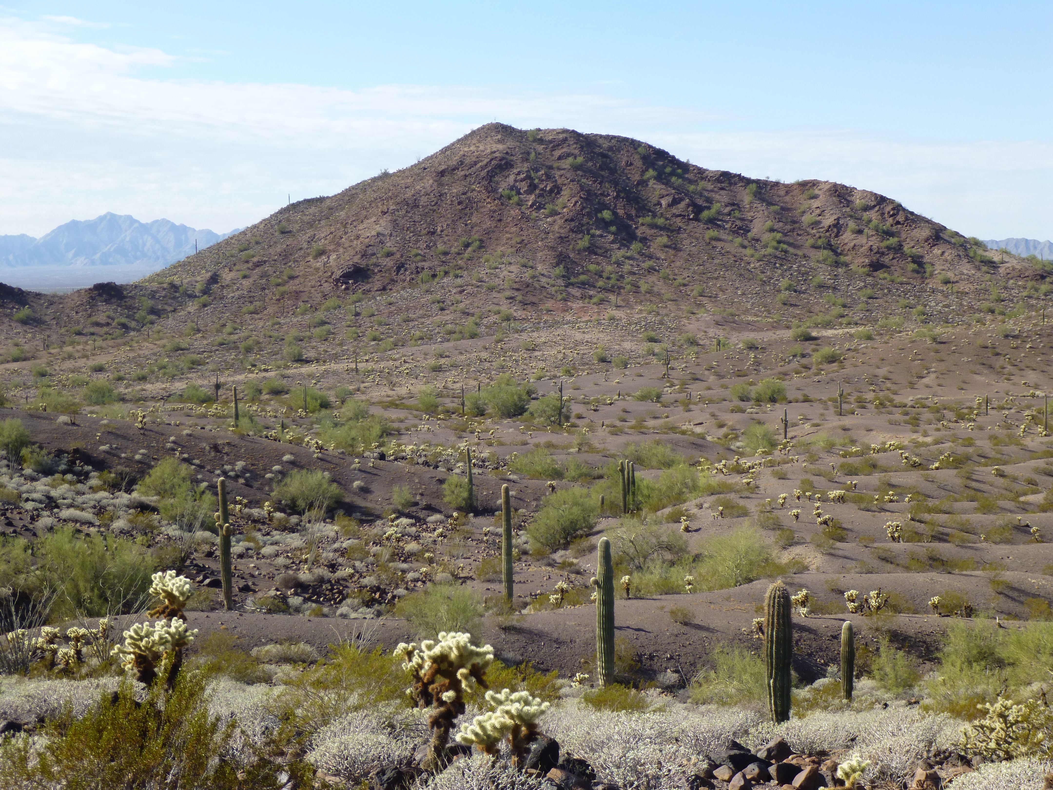
After finishing it, we headed north to the next one, Peak 2410. Yes, we followed the ridge (mostly), but I talked Bob into taking a shortcut along a steep slope on the west side, and that cost us a bunch of time and effort. If you follow the ridge proper, it’s only 1.6 miles, but with a lot of up and down in the mix. On both of these peaks, there was plenty of sign that cartel lookouts spend time there.
Peak 2410 – the bump right in front of us, not the big ones in the distance
Once you say goodbye to 2410, it’s still another 2.5 miles to a major landmark – a road! Remember way back at the beginning of this story, I said there were only 2 places where you could access the Growler Mountains by road? The Camino del Diablo was the first one, and now we’re at the second. A road comes from the town of Ajo and heads west across the desert – many call it the Charlie Bell Road. It comes out to Charlie Bell Pass, which is located on a low point along the ridge we’ve been following. The pass is as far as you’re legally allowed to drive, and you can park there, even camp. Click on this link to see the pass.
https://listsofjohn.com/qmap?lat=32.3938&lon=-113.0857&z=12&t=u&P=300&M=Desert+Mountaineer
By day, the pass is a normal-enough sort of place – quiet, with beautiful mountain scenery. From time to time a tourist or a snowbird will make the drive out that far. Border Patrol agents routinely make a run out there, as well as law enforcement from the Cabeza Prieta National Wildlife Refuge. I’ve camped out there many nights, and several times I’ve seen a vehicle come out there in the wee hours, stop briefly at the pass and hurry back to town. What they’re doing is dropping off food, water and supplies for cartel scouts who spend time in these parts. Once, a few years ago, I parked my truck at the pass for 9 days while Mark and I went into the distant Granite Mountains for a climbing blitz. Big mistake – by the time we returned, after what seemed an eternity, one of the cartel scouts had broken in and ripped me off. More on that later.
The Border Patrol maintains an emergency rescue beacon at the pass. It has a flashing blue light at night to alert undocumented border-crossers who are in distress – they push the button, wait an hour and help arrives.
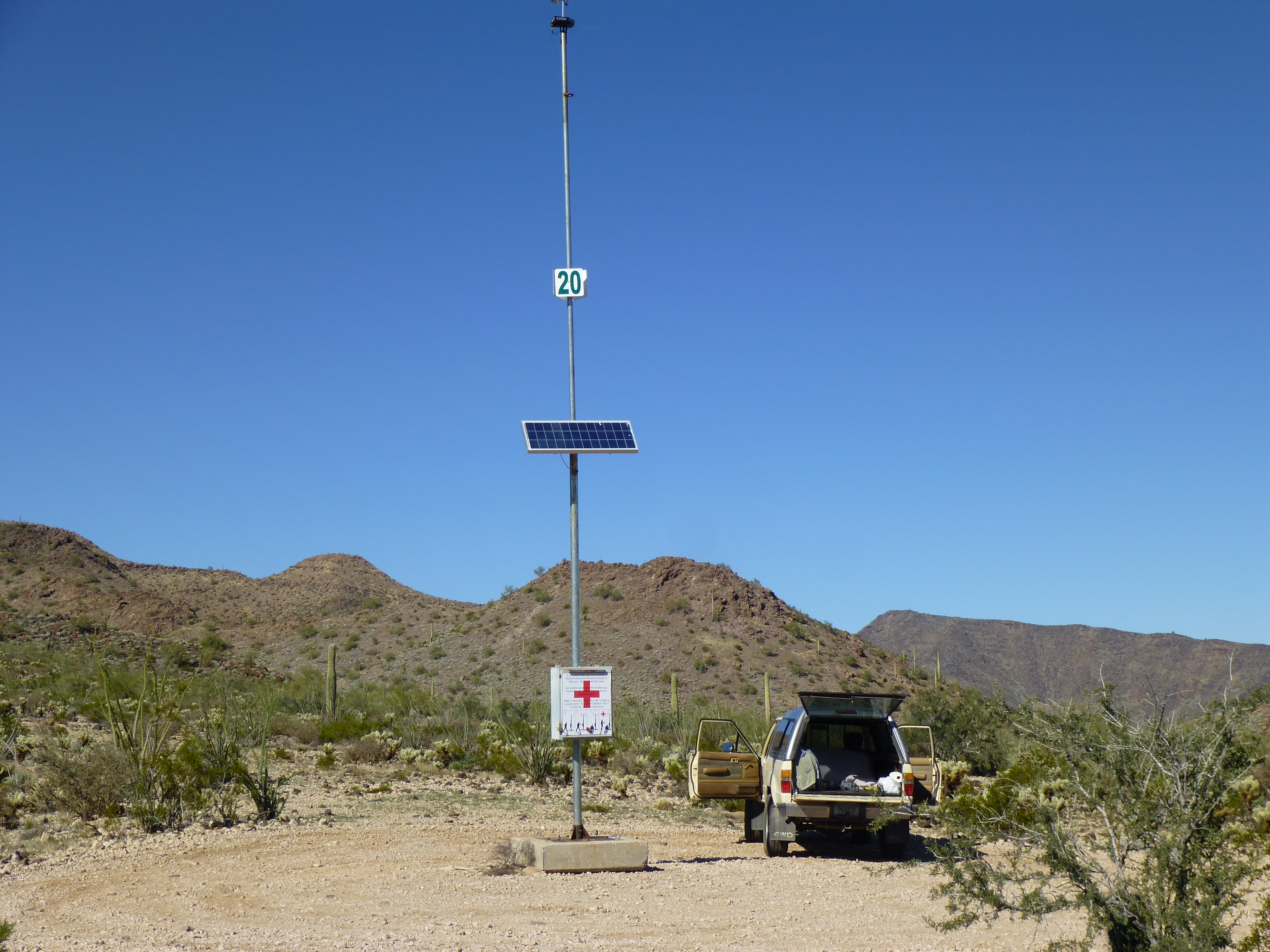
The rescue beacon at Charlie Bell Pass
From the pass, the road actually continues west – it drops steeply down for 400 vertical feet to Charlie Bell Well, then continues out into the Growler Valley. You can walk this road a bit to start in to 2 other peaks in the Growlers.
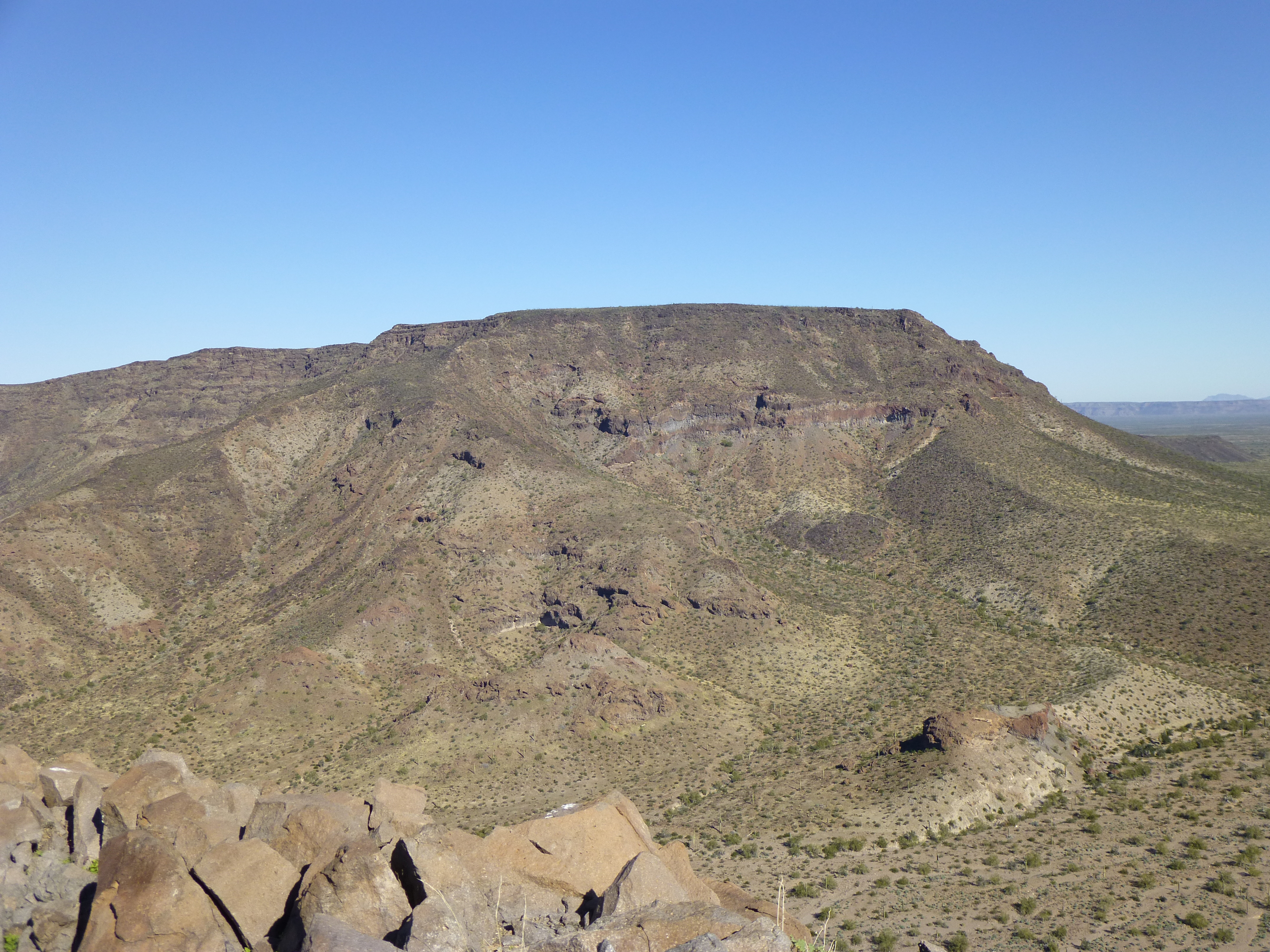
The first is Peak 2530, which sits a mile west of the main divide. By the time you’ve walked the road, sidehilled for a while, then climbed up a canyon and steep, loose slopes to the summit, it feels like you’re really out there. What a spot this is, sandwiched between two of the more impressive peaks in the range – Sheep Peak to the west, and Growler Peak on the northeast! This is another one I did with Bob Packard, an American peakbagging legend. The round trip will cost you about 5 miles.
Peak 2530, looking north along its summit ridge
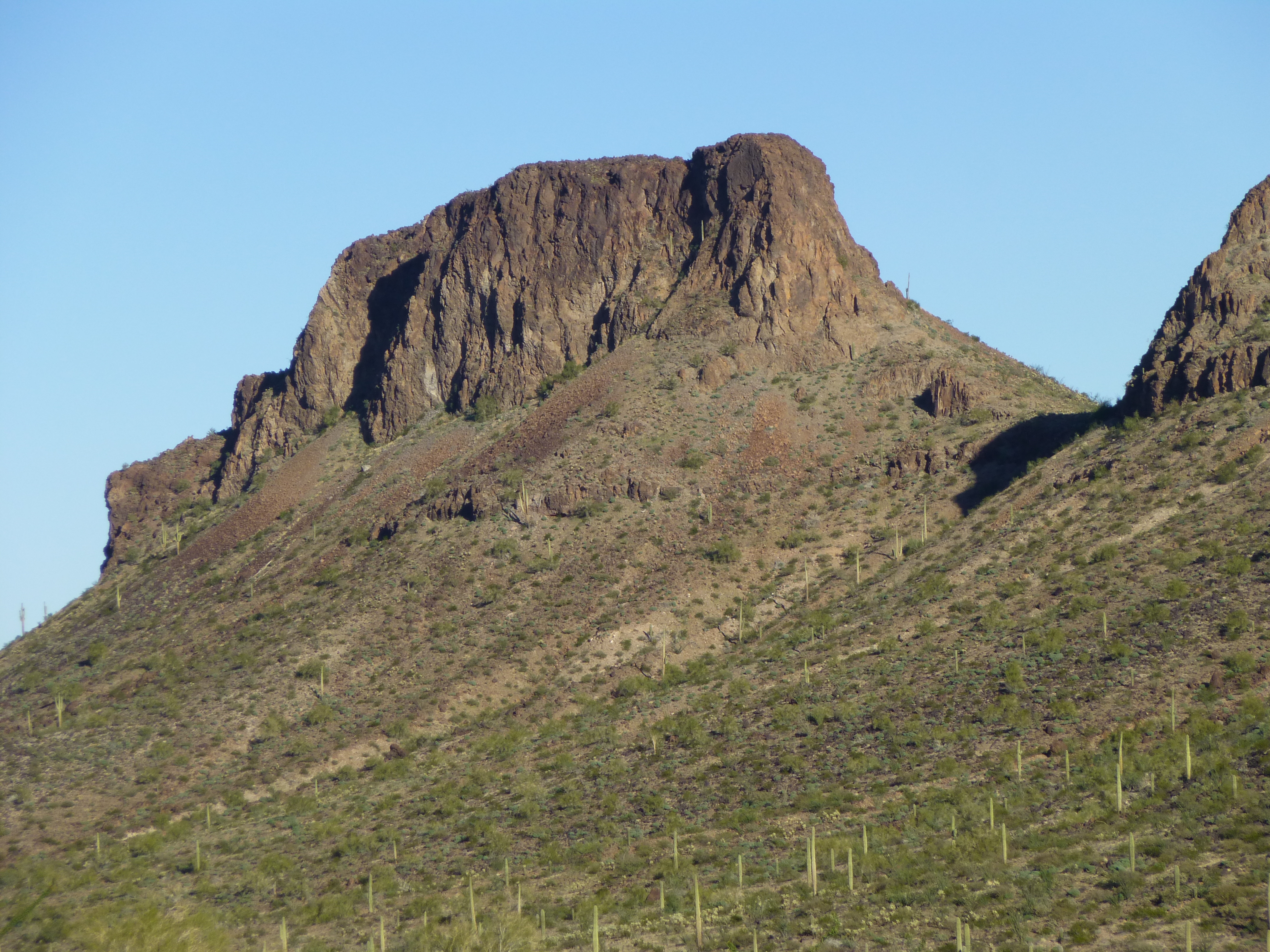
Sheep Peak. There’s a lot I could say about this one. A decade ago, a few of my friends went in to climb it, but got skunked – it turned out to be technical and they didn’t have the proper gear. In late 2014, Andy Bates and I went back to try it again – we ran out of time, but Andy still managed to summit. A year later, John Klein, Andy and I went back again – Andy led the roped climb and all 3 of us made the dramatic summit. At 2,217 feet, Sheep Peak is far from the highest peak in the range, but it is the toughest climb and the most spectacular. We did find a piece of plastic pipe on the summit, but it was reminiscent of things I’ve seen the military leave – my guess is that they choppered in to the summit, didn’t actually climb it, and Andy deserves the credit for the first ascent. Click on the above link to read the trip report on Lists of John. Sheep Peak deserves more than one picture! It certainly is the most dramatic-looking peak in the range.
A striking view of Sheep Peak, the east face where the roped climb took place
Sheep Peak, from the south out in the Growler Valley
A view of Sheep Peak from the north
Back to Charlie Bell Pass – we can climb directly up from it, heading northwest, right up the ridge to the summit of Growler Peak. That route would be tough, so stay on the east side of the divide, as Andy Martin and I did back in 2009. Nowadays, the drug cartels have a scout stationed atop this 3,027′ summit, 24/7. Sound incredible? Go check it out for yourself – other climbers have. It was one of those rat-bastards that broke into my truck while parked at the pass. Any scout on Growler is there to keep an eye on the movements of Border Patrol vehicles in the desert below. Growler Peak is only the third-highest in the range, but it looks like the biggest because it stands so prominently above the surrounding area.
Growler Peak, the huge west side
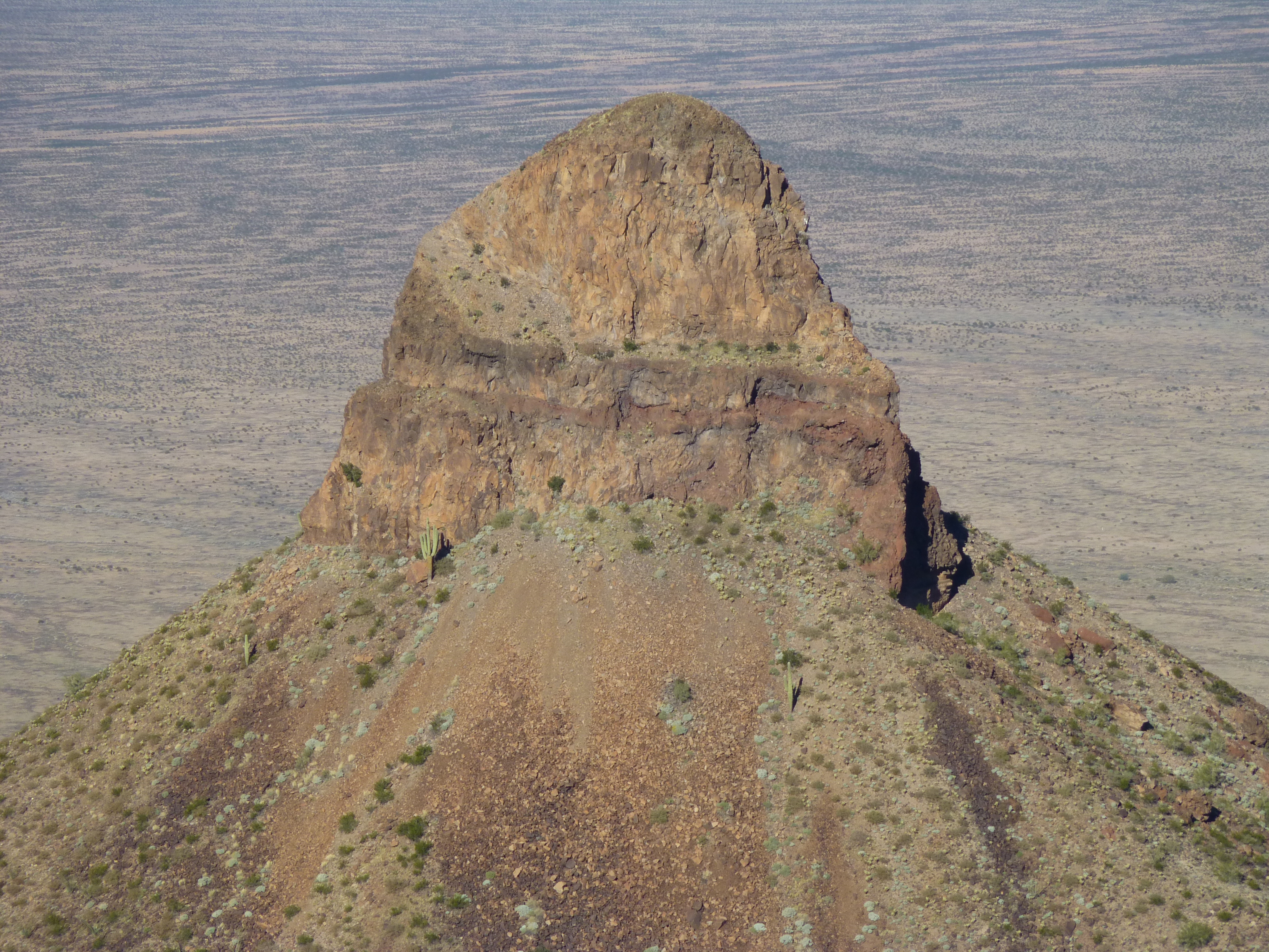
Up to this point, we’ve dealt with the long stretch between the two points of road access to the Growler Mountains, from the Camino del Diablo to Charlie Bell Pass. Now, as we head north from the pass, we enter a truly remote area. As far off the beaten path as most of the range has been up until now, things are about to get much more so. There is a group of 3 peaks sitting to the north of Growler Peak, all close enough to the pass that they could all be done together in one long day – the same 6 climbers have done all three. The first one is Peak 2540, a high-prominence summit that is easy to see from the Charlie Bell Road.
Looking west – Growler Peak is on the left; Peak 2540 is the one on the right
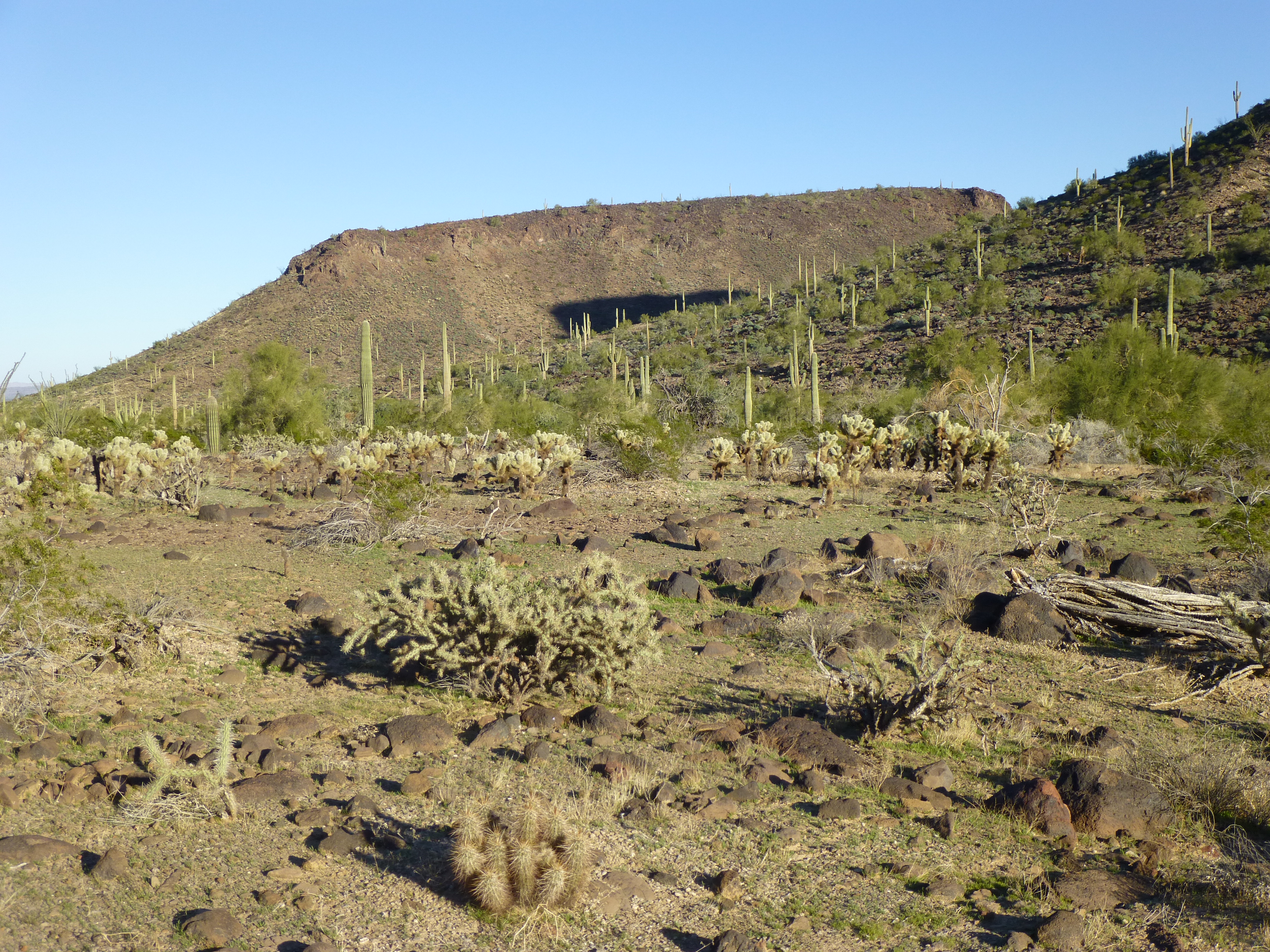
Not a mile west of it can be found Peak 1956, a steep little bugger and a fun climb.
Looking west down on to Peak 1956 – it’s the one sitting by itself in the middle of the photo
Something unusual happens in the Growlers at this point – the range splits into two arms, an east and a west. Between these arms nestles an obvious valley. Peak 1956 is at the beginning (the southern end) of this valley. When I was there several years ago, I backpacked through the area and climbed 1956 via its west side. At its foot, I noticed a faint path – it appeared little used, so I naively thought that this valley saw little if any foot traffic from Bad Guys. Not quite a mile northwest of 1956 sits the 3rd of that trio of peaks I mentioned, right beside the path, and it’s known as Peak 2142. After climbing it late one winter afternoon, I pitched my tent a hundred feet from the path and slept like a baby. At daybreak I headed north again – little did I realize who was hard on my heels.
Peak 2142, the southeast side
I soon crossed a low saddle and continued down a new drainage, still in the valley bottom. Two miles from my campsite, I reached a remote natural water-hole called Sheep Tank.
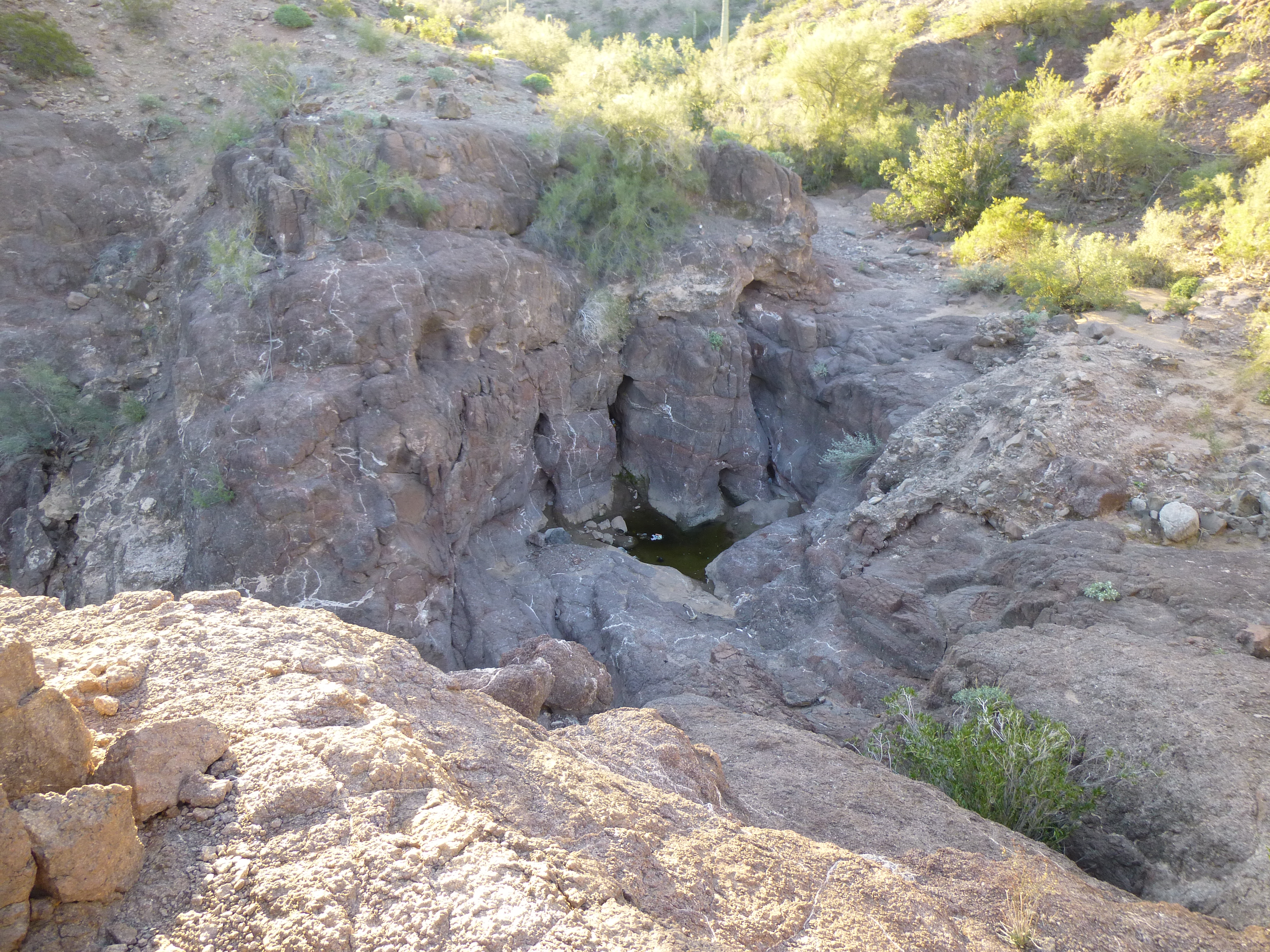
Sheep Tank
While leaving a register on top of Peak 1890, I heard voices below. If you’d like to read about my outrageous day of face-to-face contact with 4 smugglers carrying loads of drugs, click on the above link and read the trip report. What I’m getting at, Folks, is that this is way-off-the-radar territory, and the cartel works out here with impunity. Law enforcement doesn’t go out to these parts, as you can’t get any vehicle in there, and it’s a looong way to head in on foot.
Peak 1890
This range-splitting valley ends by dividing into a west branch that runs out into the Growler Valley and a north-east branch that heads out to Daniels Arroyo. A bit over to the west is Peak 1690 – it has a fun summit ridge.
The southeast side of Peak 1690
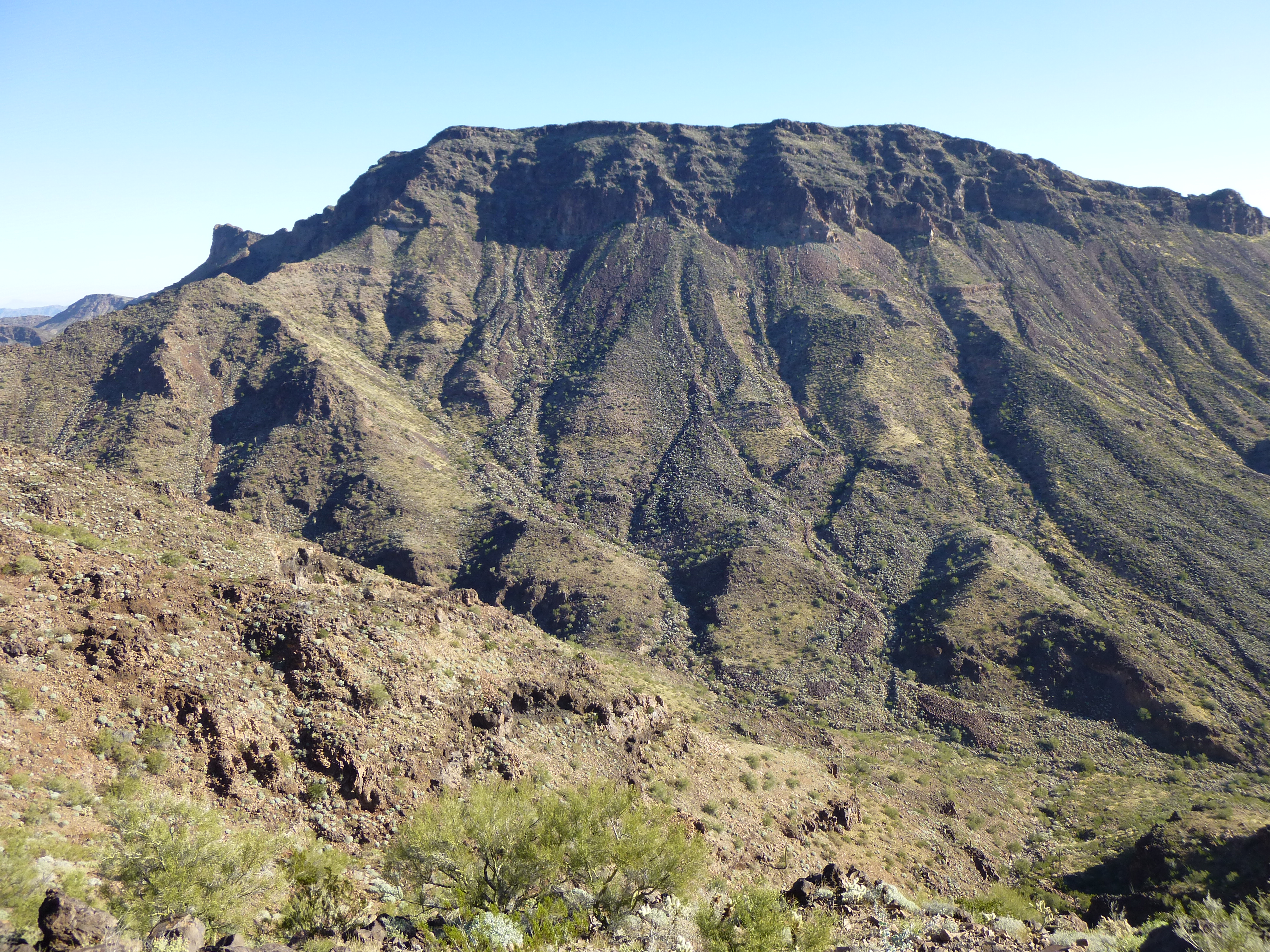
Just north of where the valley divides is another one, Peak 2147 – its highest point sits atop a large plateau.
Peak 2147, its south side
As you head out into that eastern valley, you pass this striking mountain – it’s not even high enough to be classified as a peak, but is shown as Point 1831 on the map.
Point 1831
As you can tell, we’re now in the northern end of the range, and there’s a little mountain called Peak 1570 over on the far eastern edge, which overlooks the broad valley cut by Daniels Arroyo. Here’s a view of its west side.
The west side of Peak 1570
Our journey is almost over, but not quite yet. There’s a big peak at the far northern end of the range, and it’s a stealth – you’re not supposed to go there. Climbers have stood on its summit only twice. It goes by the unusual name of Paisano Benchmark, and only 3 peaks in the entire range have more prominence. I didn’t climb it on that backpacking trip I’ve just described, which I regretted ever since. The first climbing party of 2004 also invited me to join them, but I made some lame excuse to not go. It took a return visit involving great personal effort to reach it and gain the summit (elevation 2,063′).
The west side of Paisano Benchmark
Just down Paisano’s western slope sits the very last mountain that could be considered to be in the range, Peak 1185. This too is a stealth climb, and its summit is an exciting place to be – a mere 3 1/2 miles away sits a very active site where they drop huge bombs. I confess to having witnessed such explosions from up close, and it’s a once-in-a-lifetime experience, but not for the faint-of-heart.
The northeast side of Peak 1185
So there you have it, Folks – every peak in the Growler Mountains delivered up to you. I consider it a rare privilege to have visited them all. Would I do it all again? Hmmm, not too sure about that. Remember how I started this story about the Growlers by saying that it may be the most outrageous range in Arizona? Well, what do you think – did I get it right? Personally, I can’t think of any other range that is so fraught with danger these days, from one end to the other. The United States Border Patrol puts it all on the line to fight these Bad Guys, its men and women risking life and limb every day to keep us safe. However, the drug cartels have unlimited funds at their disposal, so when one of their guys is arrested out in the Growlers, the void is filled within days. It’s a hard battle for law enforcement to fight.
It never ceases to amaze me that there could exist such a spectacular place in the US that is over-run with criminals from a foreign country. In any case, the Growler Mountains are a truly amazing range, filled with more than their share of natural beauty. Go there if you are looking for some fine peaks to climb and want to get away from it all, but go prepared for some excitement as well. Thanks for taking this journey with me.
Please visit our Facebook page at https://www.facebook.com/pages/Desert-Mountaineer/192730747542690