
Please read the previous two installments of this story before continuing with this one.
Our fourth day of the trip, and the third of climbing, dawned clear and mild like most of our days in the desert. As if yesterday’s drama weren’t enough, today we were going back to the same area because 3 more peaks required our attention. We’d need to be especially careful so as not to put ourselves in a compromising situation again.
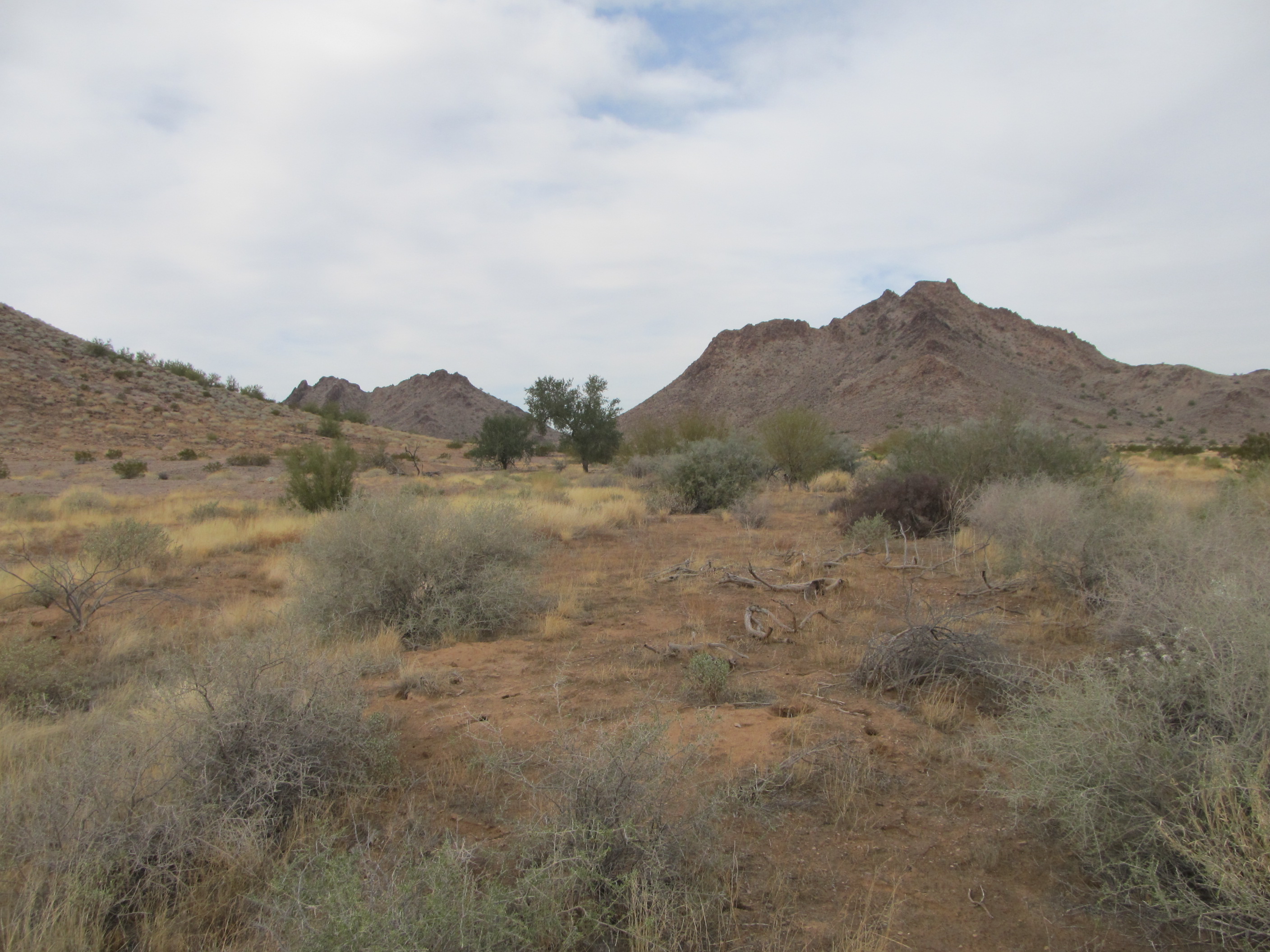
Yesterday from afar we’d seen a lot of activity by what we were sure were contractors working for the military. Today we’d be near all of that again. We rode the good road once more, then before becoming too conspicuous we headed off into the desert. This next photo, taken the day before, shows the first two peaks we’d attempt today. Our first one is on the left; the second, taller, is just right of center.
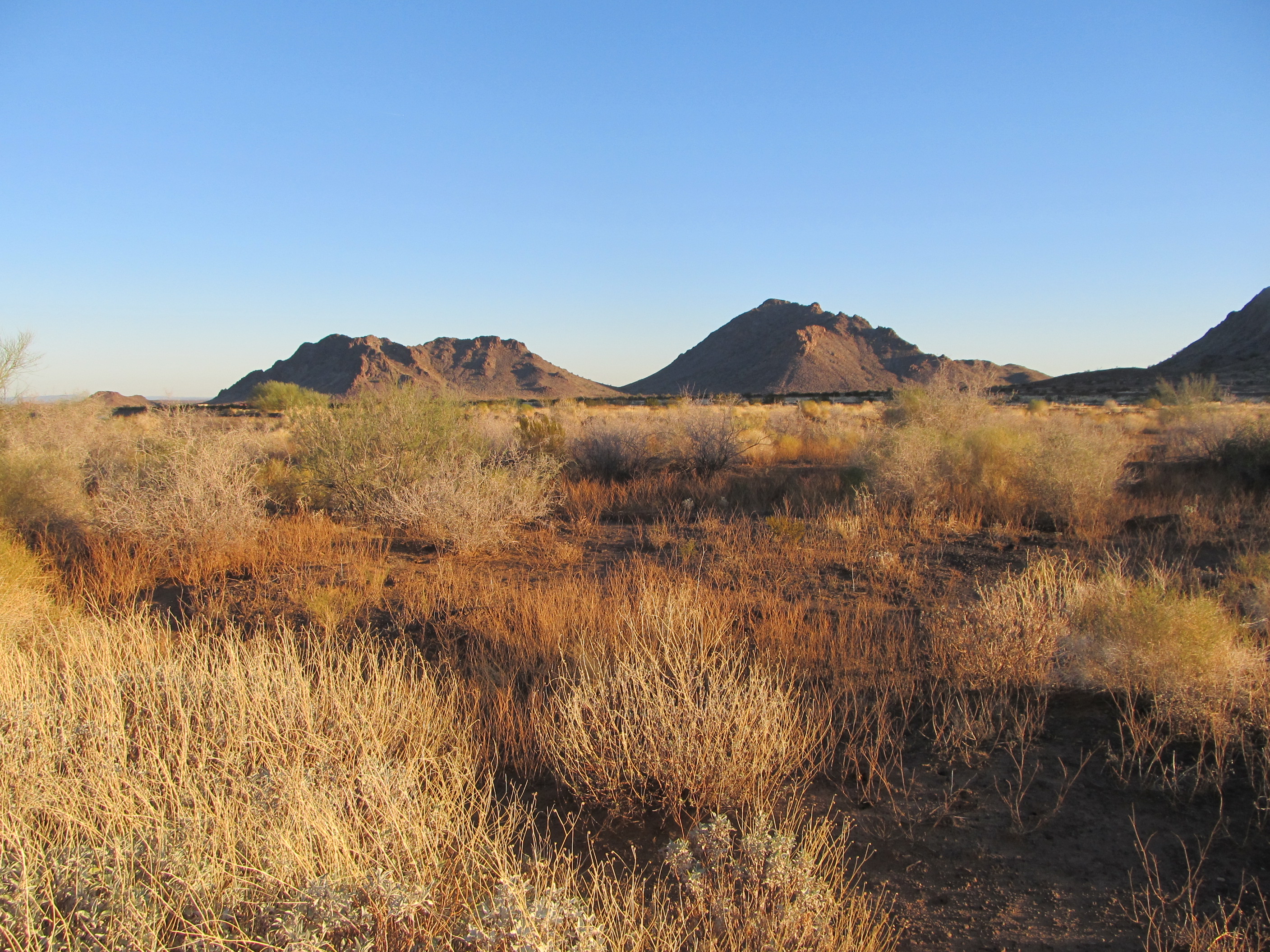
The first two peaks of the day.
Ditching the bikes, we covered them with weeds that were growing all around – they were so well disguised that you had to be within 5 or 10 feet of them to have any chance of seeing them. Only GPS would ever get us back to this spot.
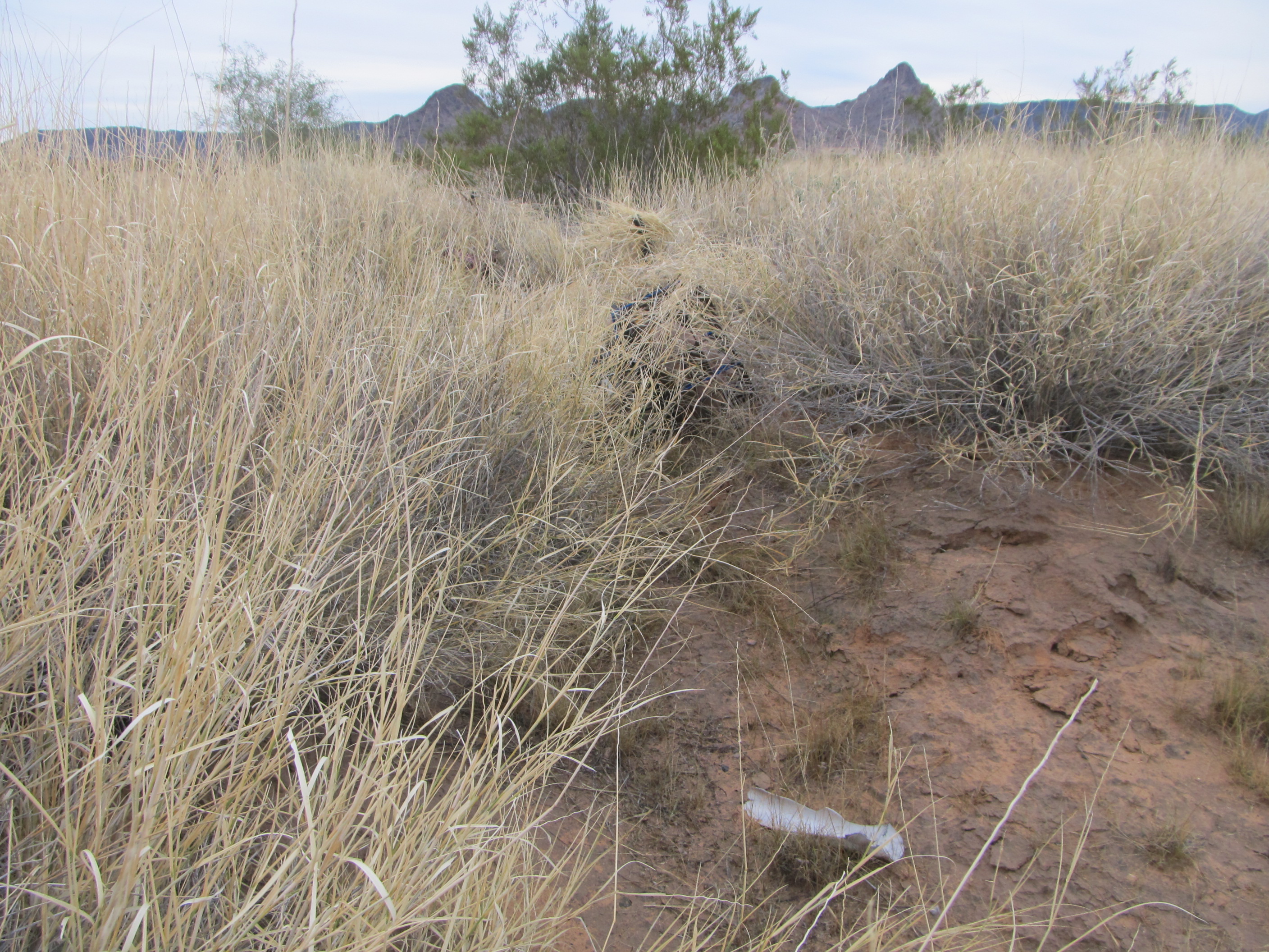
Two hidden bikes
Our first peak was close at hand, but we didn’t want to be seen by anyone. Circling around through the desert to the back side of it, we found a nice little valley leading right to the top – or so we thought. First, though, we found this interesting item on the ground. It was a piece of animal poop, and in it you can see all of the bones of a creature that met its demise – pelvis, skull, spine, jawbone, etc… Curious, huh?
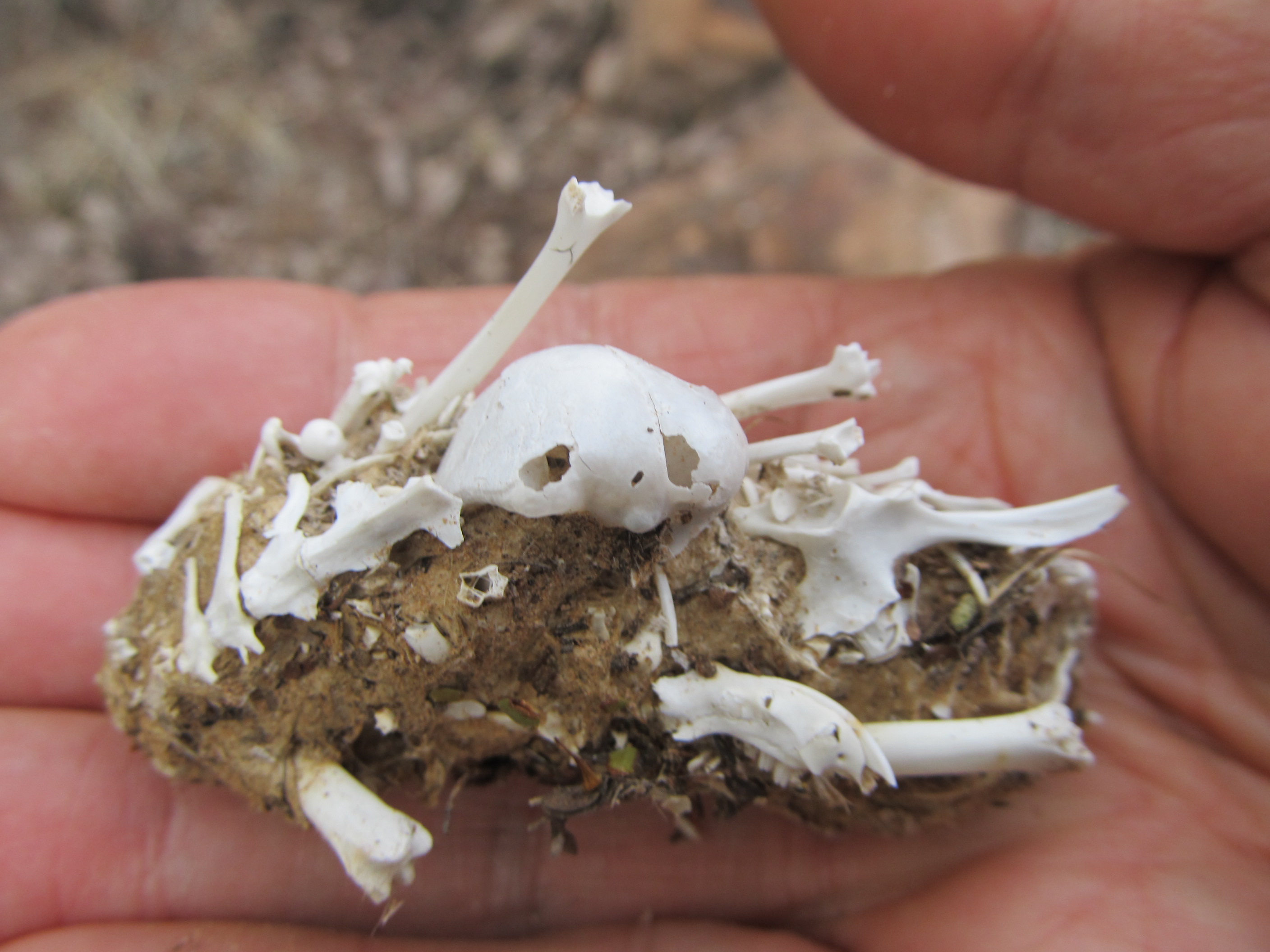
The remains
So here’s our first look up the backside of that first peak.
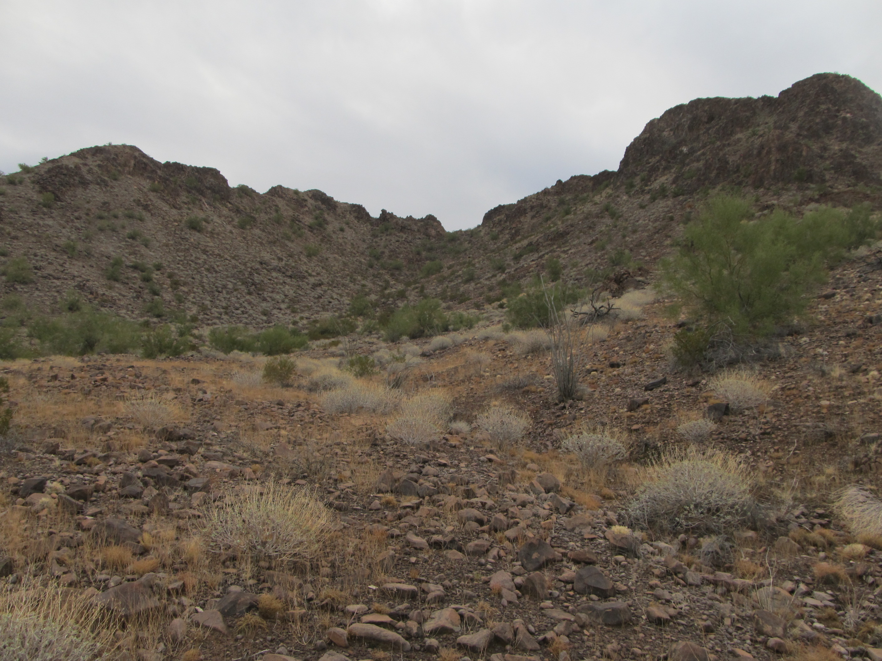
The backside
Up we went, right to the skyline, expecting that’d put us right on the summit, but nope – instead, we found ourselves on an airy, exposed rock rib which led nowhere. Back down we went, 100 feet or so, in hopes of finding a better way around. We found a route alright – steep, an exposed 50 feet or so, that was a solid Class 4 on poor rock. I started up first, not impressed with what I was finding, and made it to a shallow bowl on the steep face. Hunkering down, I shouted to Luke – I couldn’t see him from there – telling him to give it a try. He started up, got part way, then shouted he was going to look at another option off to the side. That wasn’t any better, so he continued up and a few minutes later we were together. The yellow dots in the next photo show much of that route – the bowl is hidden in the far upper left of the photo.
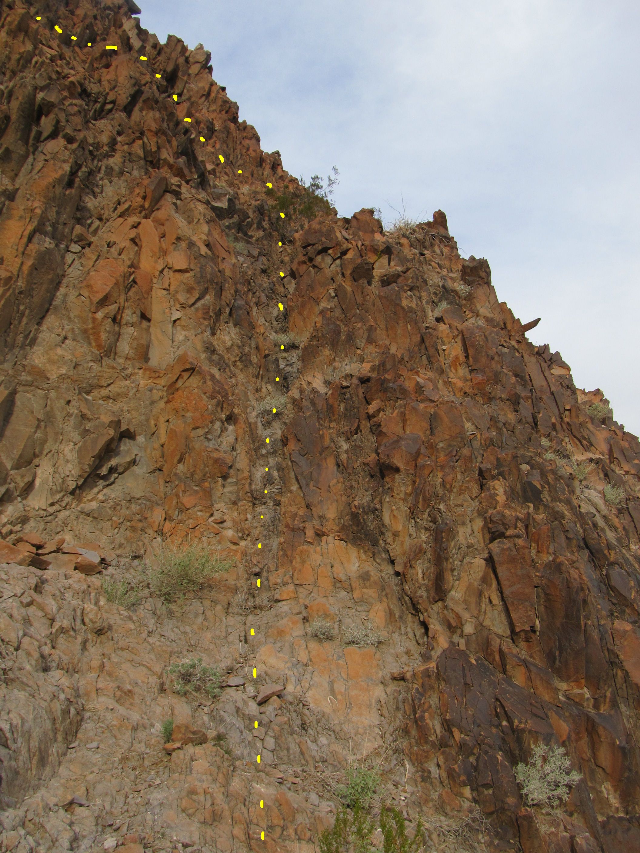
Our route
That left us with a short (maybe 15 feet) rocky bit (better quality) which we soon dispatched, and there we were on the summit ridge once again, but it was obvious that this time the summit was easily within reach.
There was just one problem: as we huddled together, we realized that we were in plain view of a group of contractors. Four hundred vertical feet directly below us, they were operating heavy equipment and doing God-knows-what, so close to us we could hear their voices. It was imperative we get out of sight, and quickly, because if any of them had happened to look up at that moment, they would have had no trouble spotting us. The slope down to them was so steep that, had we tipped a boulder off the loose summit ridge on which we perched, it would have hurtled directly down to them and wreaked havoc. We quickly scuttled along the ridge to the highest point on the mountain, then hid from view.
It was less than 1,000 linear feet down the slope to them, and as we ate a snack, listening to and watching them, it was amazing to think how near (yet hopefully so far) we were. Who knows what’d happen if they spotted us? They’d probably have some way of contacting the military, who’d be all over us like a cheap suit – but they’d have to catch us first. We might be old, and slower than in our golden days, but we can go like hell if needs be, and have had a lot of practice hiding. This summit was just too nerve-wracking a place to hang out for long. We’d been hoping we could find an easier way down off this thing – neither going back along the high-visibility summit ridge, nor down-climbing that Class 4 bit, appealed. I headed off down the other way, and quickly saw that it offered a better route. The first 100 feet were very visible to the guys below, so I hid while Luke scampered down to me. Once together, it was an easy Class 2 walk down to the desert floor (with a brief stop for Luke to retrieve his pack left at the base of the Class 4 bit). There you have it, one down and two to go for the day. Actually, on the way down, we found this remnant – a bomb with its thick metal shell peeled back like a banana. This thing had been 6 feet long when intact.
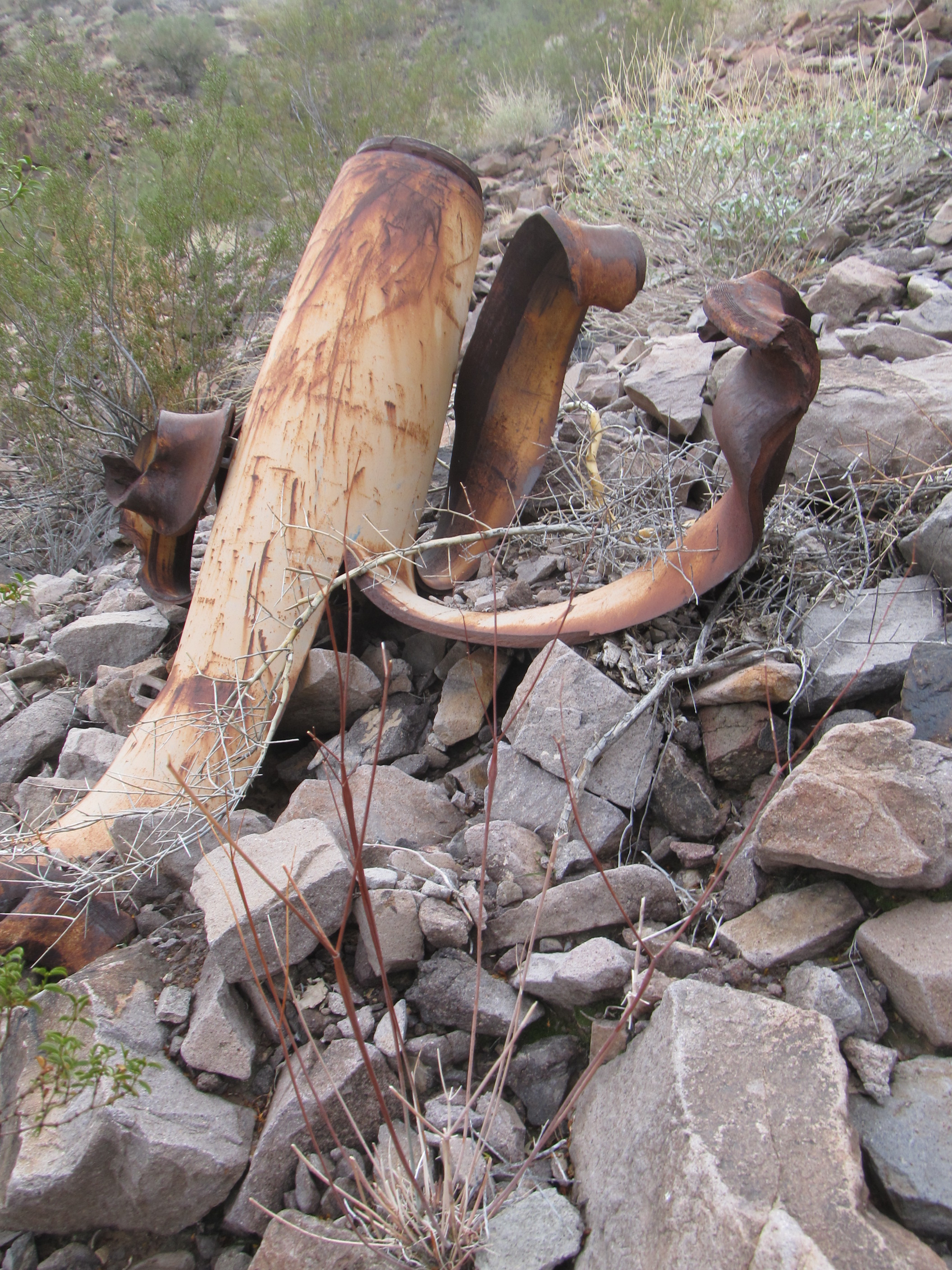
Stay away from these bad boys!
We also found this pair of Mexican water jugs, one of the very few signs of Bad Guys having passed through the area that we found on the entire trip.
Black Mexican water jugs.
It was a short stroll over to the base of our next peak – several hundred feet higher than the first, it took longer to climb, and had a bit of easy Class 3 scrambling right at the summit.
Strange rock along our route to the top.
The climb itself was uneventful, but it’s what we saw from the top that was remarkable. Miles away, on the road we’d ridden in on the past 2 days, we saw something white. If we could see it that easily with the naked eye from that far away, it must be huge. Ever so slowly it approached, and when it finally arrived at the base of the first peak where the contractors were working, only then did we realize what it was. I’ll leave it until later in this piece to reveal that.
We spent half an hour on this second summit doing the usual things – lunch, photos, note-taking, preparing a summit register and cairn, transmitting our position by satellite to friends. It was just after noon by the time we started down. Those of you who read my stories have probably noticed by now that I’m not giving the names, elevations or locations of any of these peaks, for good reason. Almost none of them have names to begin with, although we did drop a name of our own on every peak – however, even those I cannot tell you, as they too would be incriminating.
There was one more peak to climb, and we’d been concerned about this one ever since we’d journeyed out to the area. It was very steep, fiercely guarded by cliffs on all sides, and was the one we felt could be the stopper to our goal of a clean sweep of the entire range. Luke and I had completed 2 similar projects in previous winters. By that I mean that we had gone into a remote range with the intention of climbing every single peak in it – to not have accomplished that would have been regarded as a failure on our part. So, to have a potential deal-breaker like this third and last peak of the day, looming over us both figuratively and literally – well, it was enough of a concern that we called this one “Anxiety Peak”.
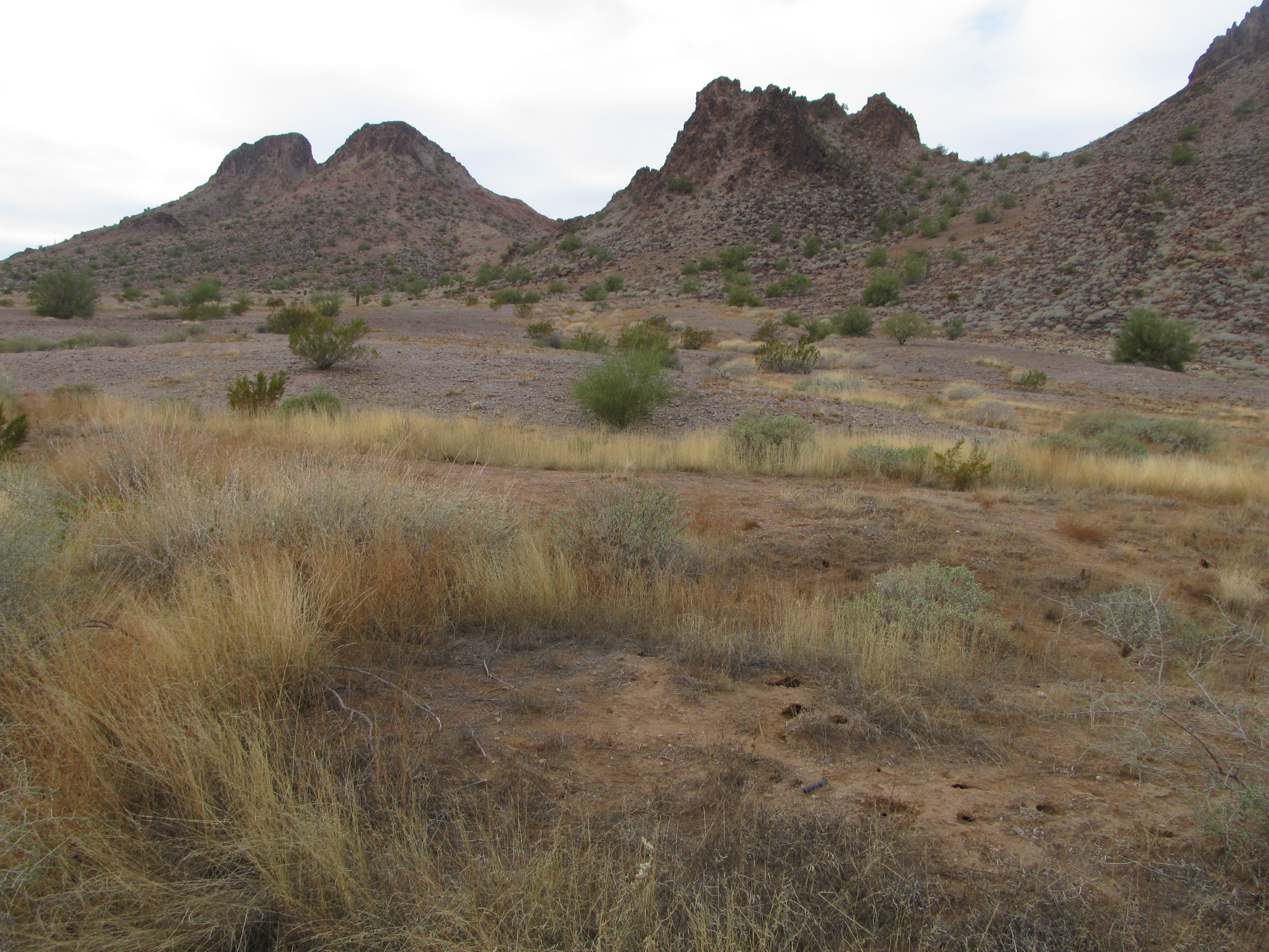
Just after noon, we started down our lunch peak, slipping and sliding down the loose slope. Yes, we were in full view of the contractors, but by now 3,800 feet away from their position. It was the work of 15 minutes to drop far enough down that we could duck behind a ridge and breathe easily, out of sight for the rest of the afternoon. We’d looked forward to this next part, a nice uneventful walk across the flat desert. Once we were down and had walked a while, we had this look back to our first 2 peaks of the day. The first one is the double summit on the left, down low on the horizon (the highest spot is the left one); our second summit so far today is the big one on the right.
Peak One, on the left, and Peak Two, on the right
This was an enjoyable walk towards our third peak, which in itself was a trio of distinct bumps. In the next photo, the smallest of the bumps is out of sight, rising up on the far right; the next highest is right of center; Anxiety Peak itself is the double-headed one on the far left.
Approaching Anxiety
As we approached Anxiety Peak, we ascended across the grain, crossing many small gullies. We were kind of holding our breath on this one – would it go? Its northeast ridge had become the leading contender as a route, but a closer look didn’t offer much promise of success. That left us with the steep east face as a last resort.
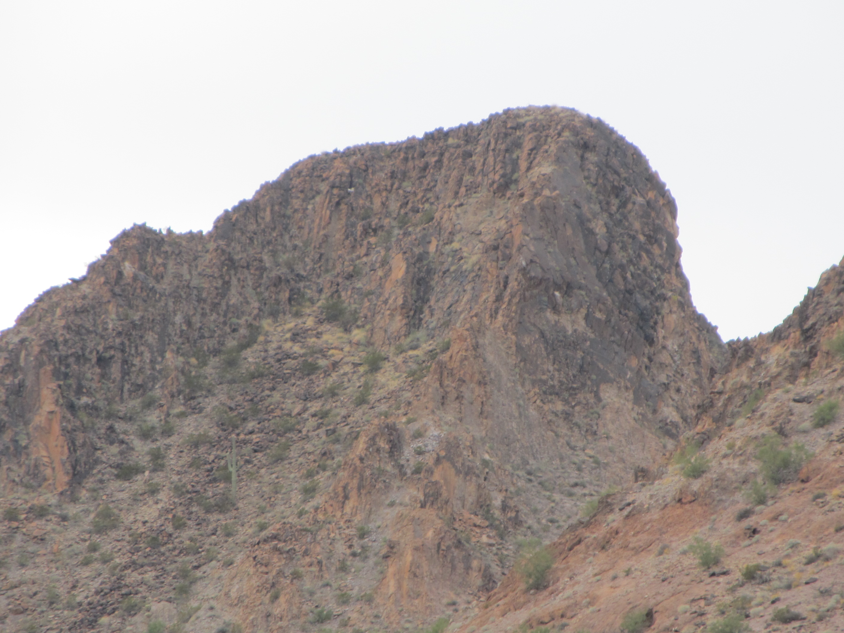
A close-up of the top of Anxiety Peak
We’ve learned that there’s no point jumping to conclusions until you have your nose right up to the rock. It was easy enough right up to the last hundred feet, where we stopped for a good look. Actually, it didn’t seem bad. This uppermost part of the peak was a pile of large blocks, facing down and in. If they’d faced down and out, it would have been a different game. It only took a few minutes to climb this last very enjoyable section, nothing worse than Class 3, and we found ourselves on top at 2:15 PM. Wow, done, and a nice climb at that.
From the summit, we looked down on to another group of contractors. They were using heavy equipment to move target vehicles around – we watched them for a while, then wished them gone, as we couldn’t get back to our bikes with them still there. Luckily for us, while still on the summit, they finished up, piled into a couple of vehicles and drove away, the long trip back to town. Down we went the way we’d climbed up, and before we knew it we were once again on the desert floor. In the couple of miles back to our bikes, we saw some amazing things – I wish I could show them to you, but then I’d have to kill you. See, even stealthers can be discrete! Suffice it to say that the military was doing stuff so they could practice shooting and bombing things.
Remember how we had hidden our bikes in the morning? We actually did have to use our GPS to find them again, they were so well hidden. It took only a few minutes to get the bikes ready, and we hit the road. As we rode back “home”, we noticed that trees along the side of the road had been mowed down where they stood. In places, the destruction was total. What had caused this? Much earlier in the day, while on our second peak (which you can see in the distance in the photo below), we had seen a large flatbed truck moving along this road. On it, set crosswise, were two 40-foot shipping containers. As wide as the road was, the load was even wider, and destroyed anything in its path. We were shocked to see this.
Trees mowed down.
Moving on, we were back in camp by 4:30 PM. After a pasta supper, we sat around a cheery campfire and discussed our day – plenty of enjoyable climbing, and fortunately not the drama of yesterday.
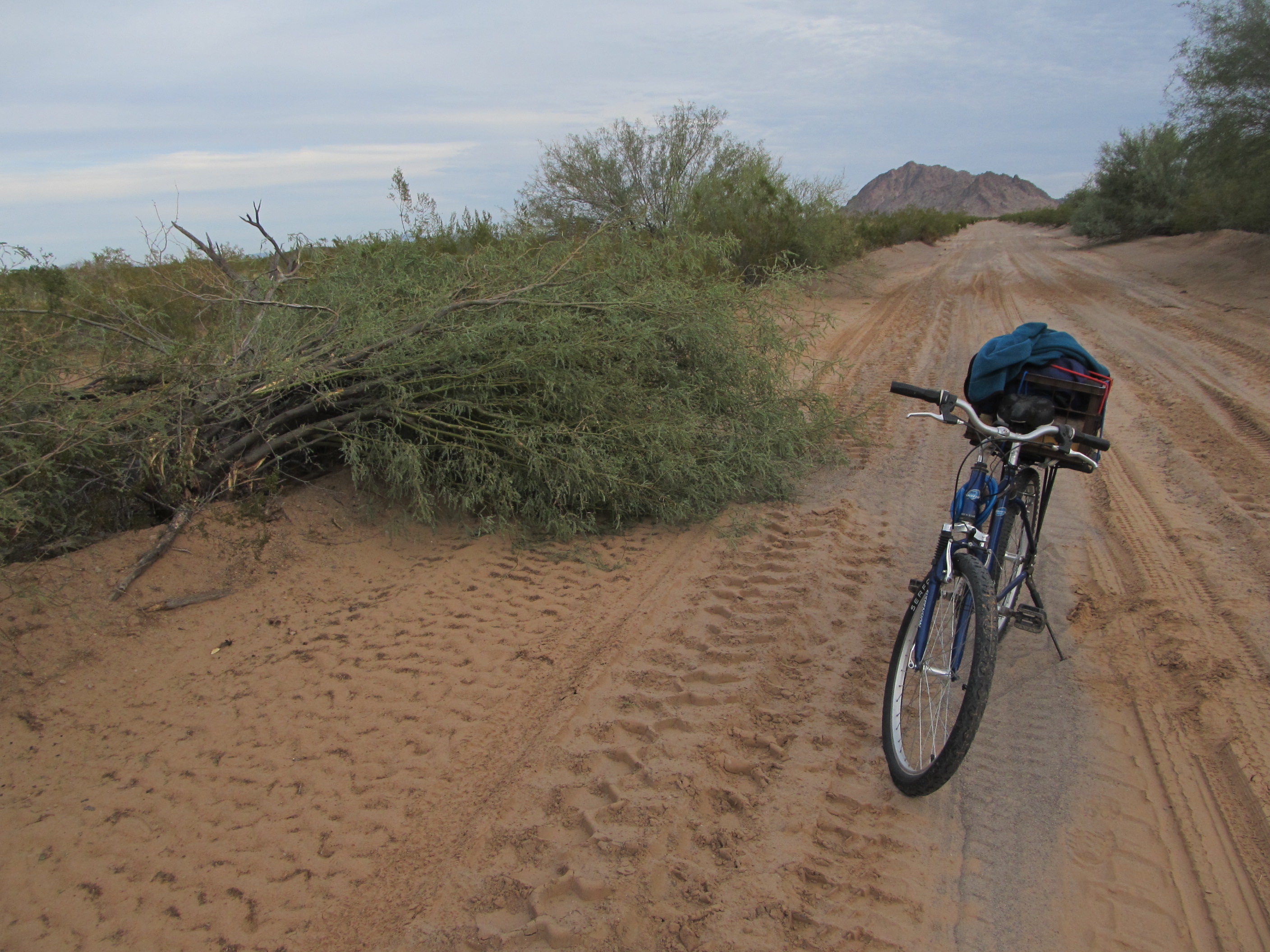
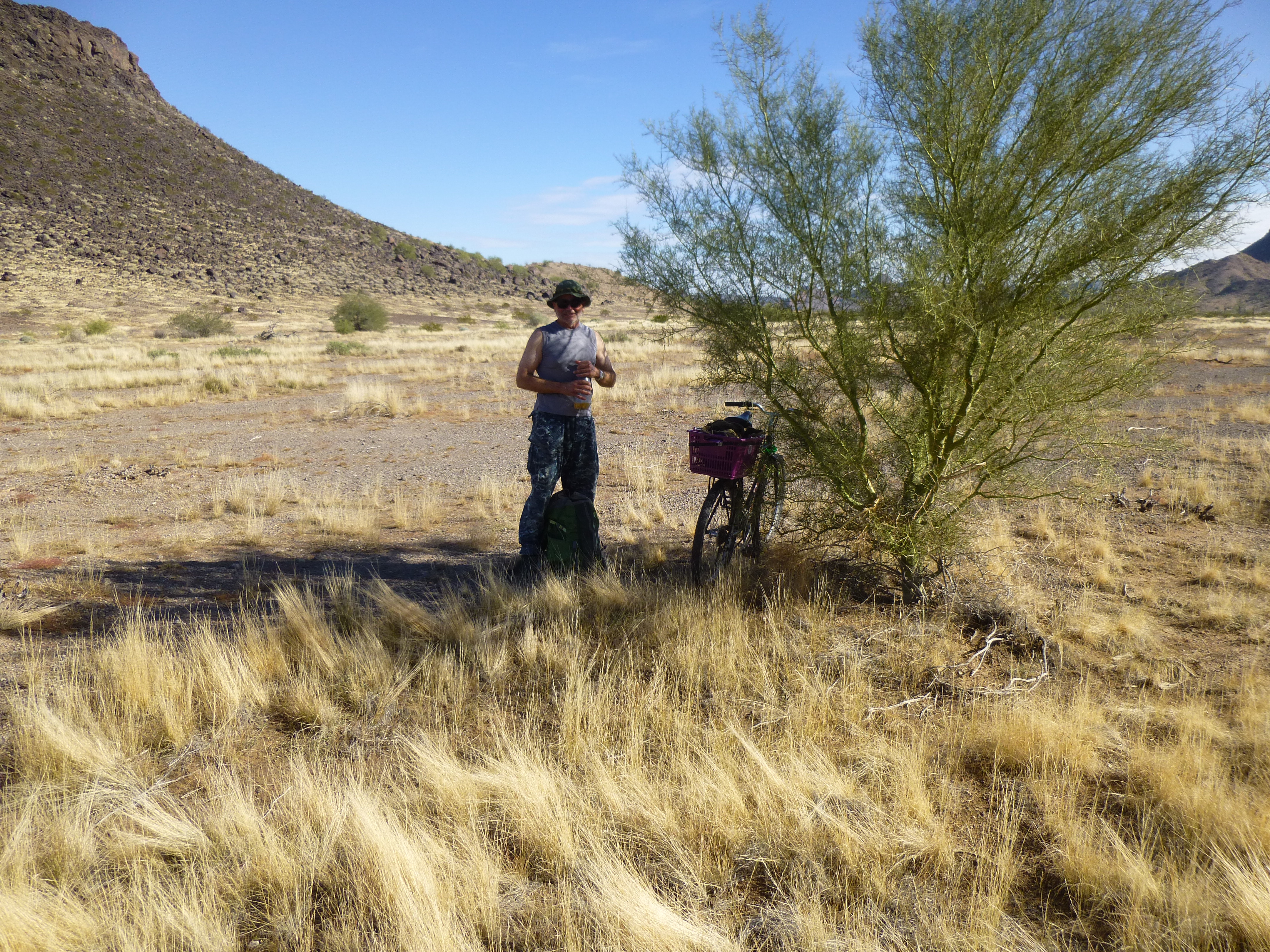
The next day was our fourth climbing day, and we had decided to make it an easy one, with an eye toward resting up for the final, outrageous push on our fifth day. We slept in and left camp late, then took a short ride on the nearby road. To get to our 2 peaks for today, we left the road and biked for 2 miles across the desert floor up a quiet valley of great beauty. It only took us 20 minutes to hide our bikes in a deep wash, get ready and set out on foot at 8:30 AM.
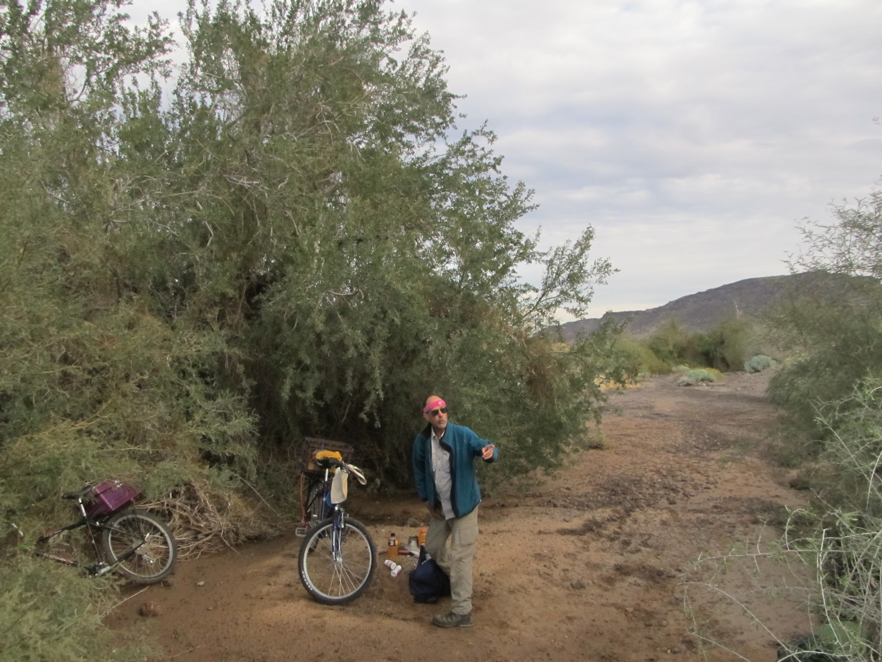
Here’s where we hid the bikes
We took our sweet time walking to the head of the valley, then headed up a canyon, gaining 600 vertical feet in the process.
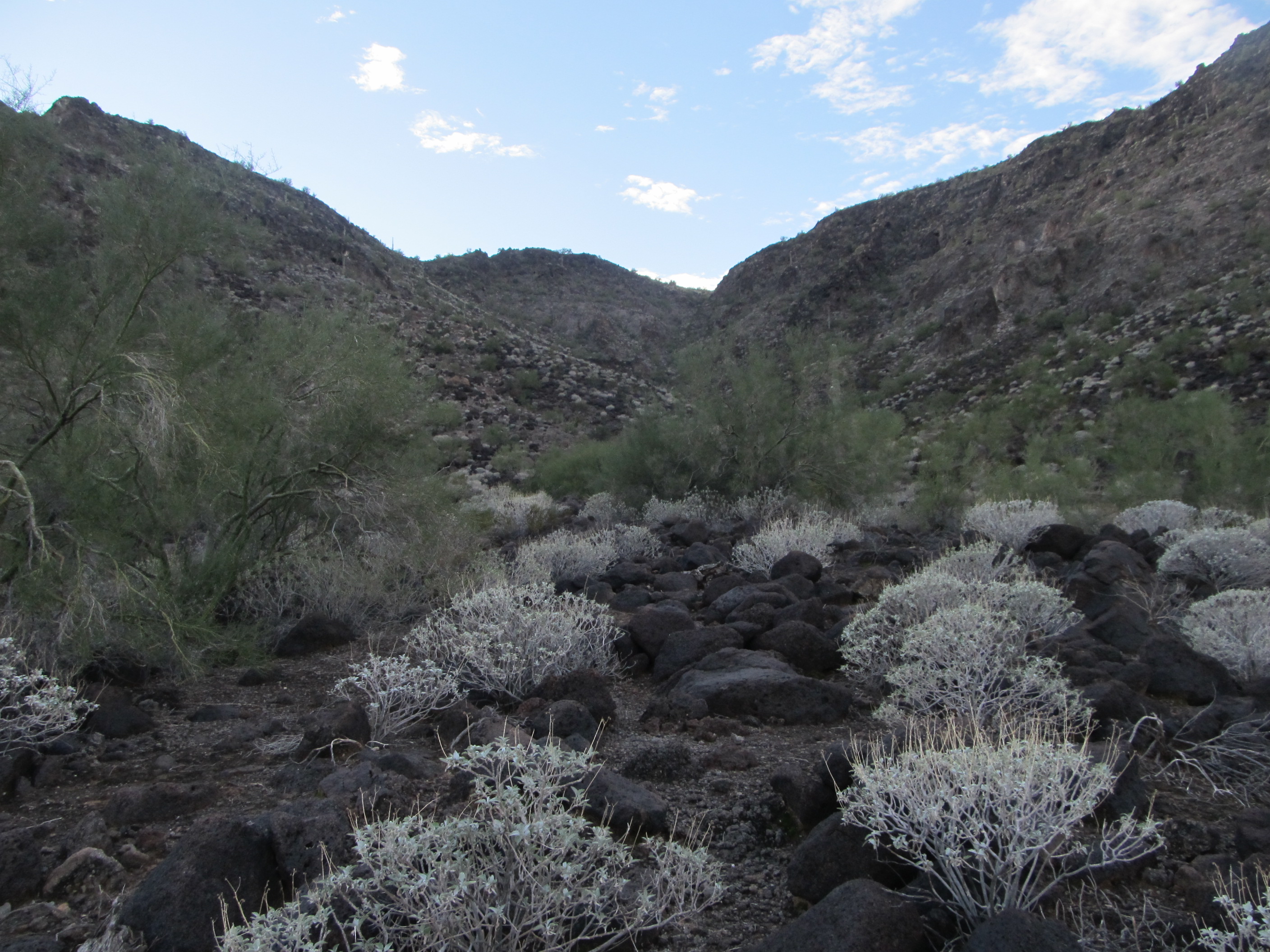
Our canyon
In this next photo, the ridge you see hides our camp, which is located on the other side of it.
A nearby ridge
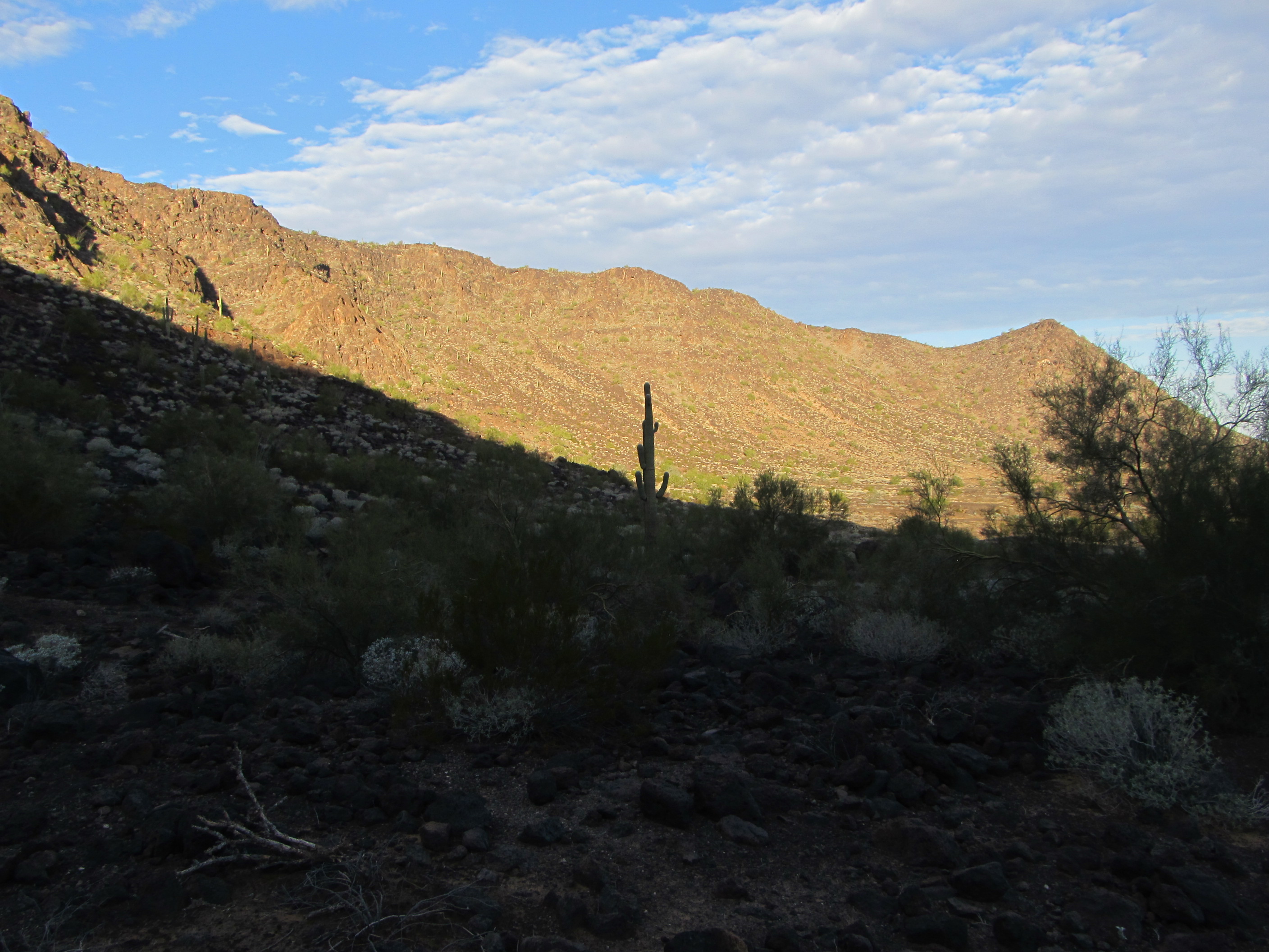
Near the canyon’s head, we stopped on a hillside and rested a while, enjoying a snack.
The hillside where we ate.
From this spot, we climbed out of a bowl and soon stood on a huge plateau, miles long.
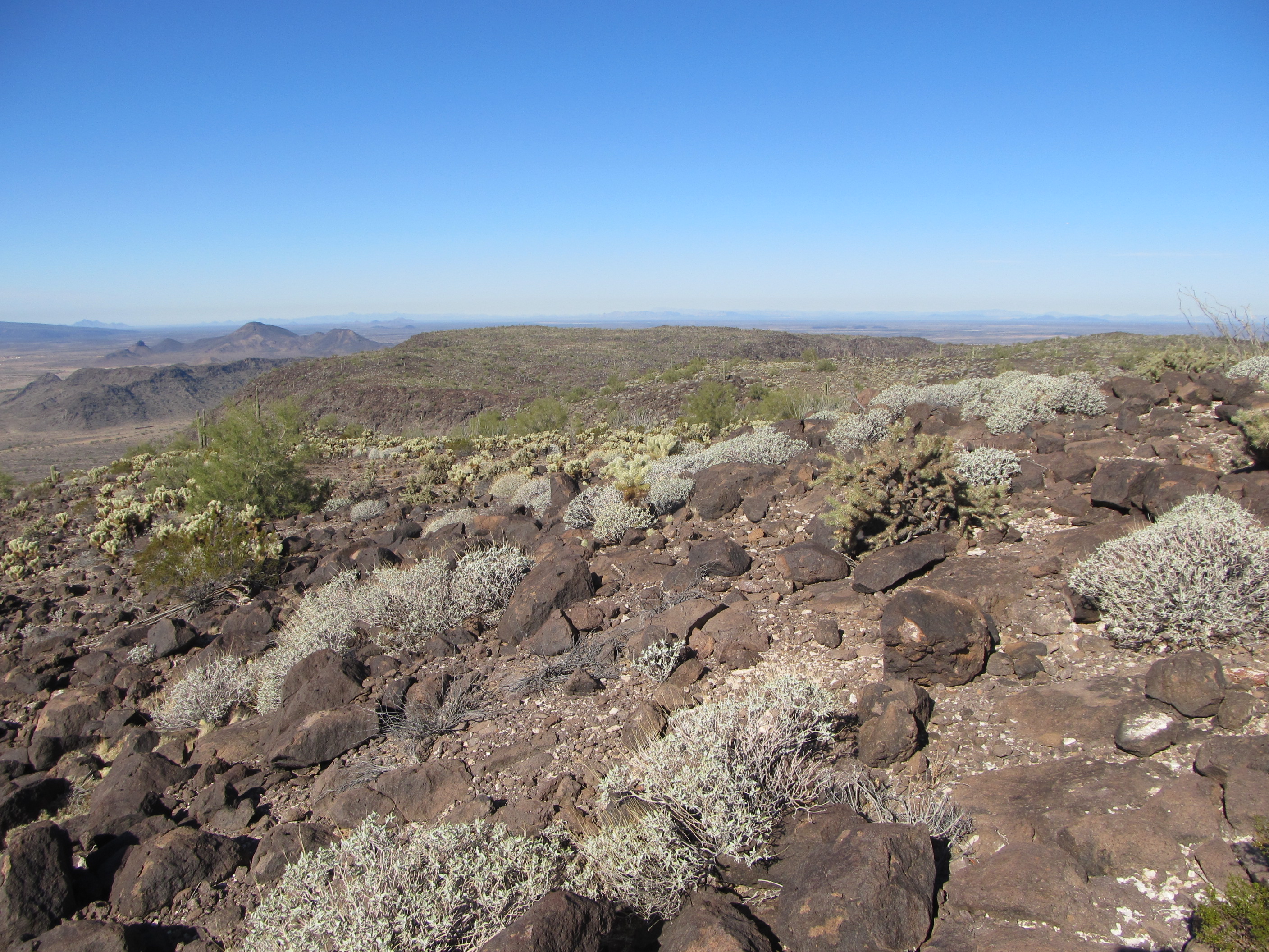
The plateau
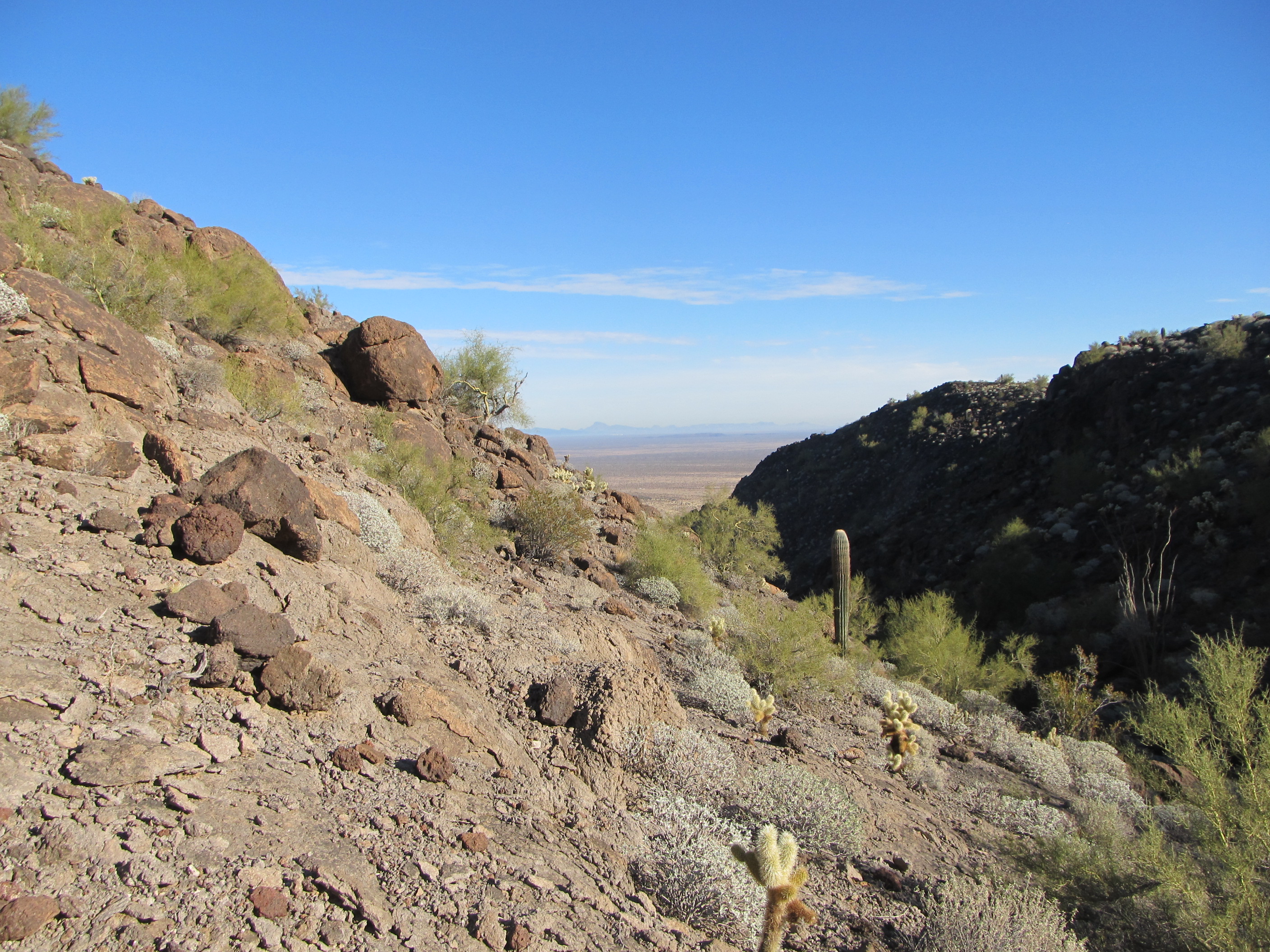
On its highest point sat a benchmark, left by surveyors almost 70 years ago. It was covered by a pile of rocks and inches of accumulated dirt, and we spent a good 20 minutes excavating it. As we looked for it, we heard 2 mighty explosions – when we looked in their direction, we saw 2 grey mushroom clouds rising into the sky about 10 miles away. Holy crap, that was amazing! We wanted more of that, so hustled over to the edge of the plateau, only 600 feet away, and sat down to wait. When I say edge, I mean it – literally atop a cliff with a huge drop, we had lunch and waited for the next blasts.
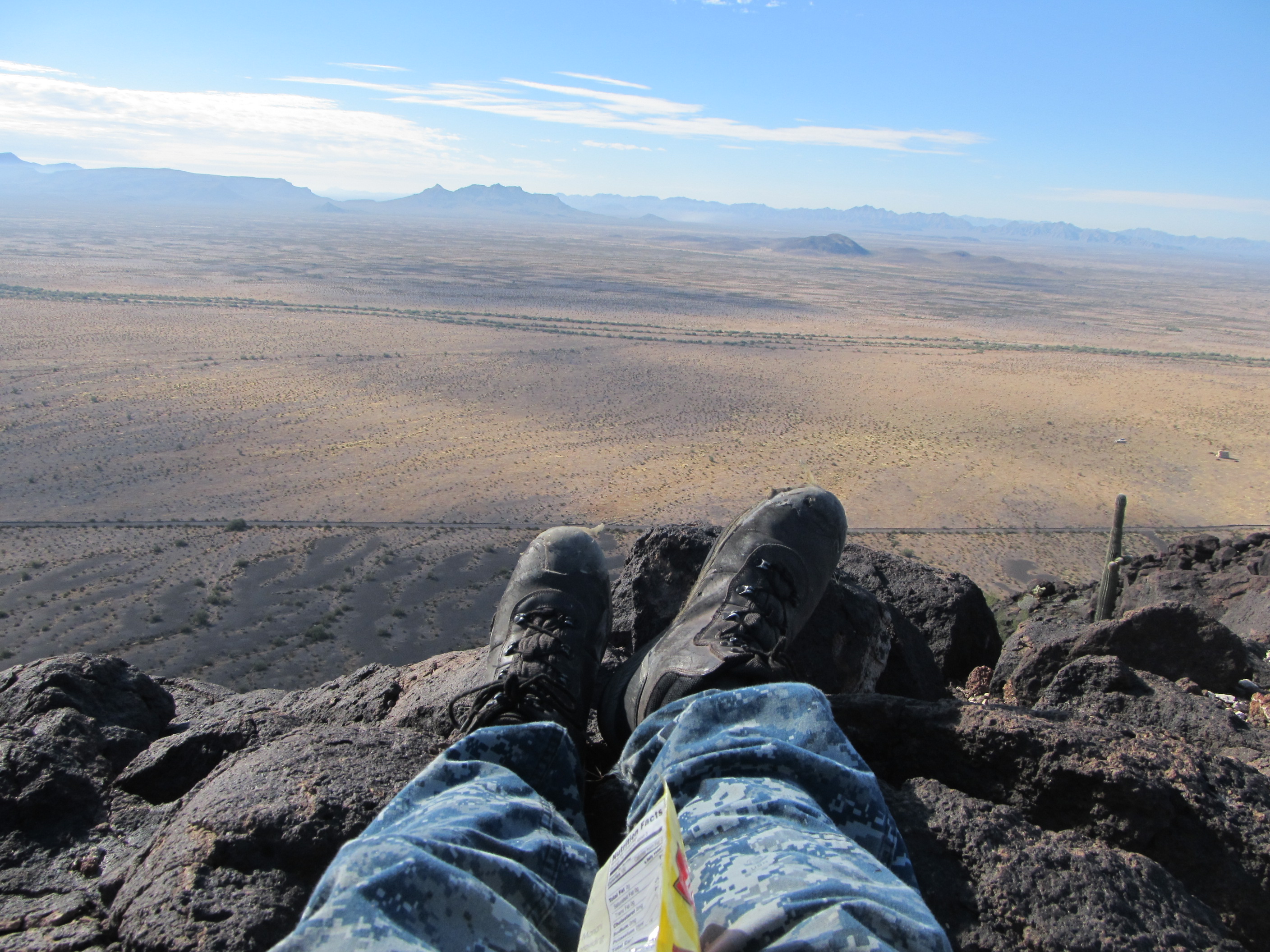
Having lunch on the brink.
Sadly, they never came. It was perfect shirt-sleeve weather, though, warm and comfortable, and of course a clear blue sky. As we sat and ate, a noise caught our attention – it was a large military truck, racing along a road below us. We were invisible to it, though, so we just enjoyed the view. An hour and a half we spent up on that plateau, for once not in a big hurry. Even on this “rest” day, though, we still had one more mountain to climb. We made our way back across the plateau, down the canyon and back to the bikes – it was 1:15 PM. As we crossed the plateau, we had this telephoto view of “Anxiety Peak”, our third and final one yesterday – it’s the steep one a few miles away near the middle of the photo.
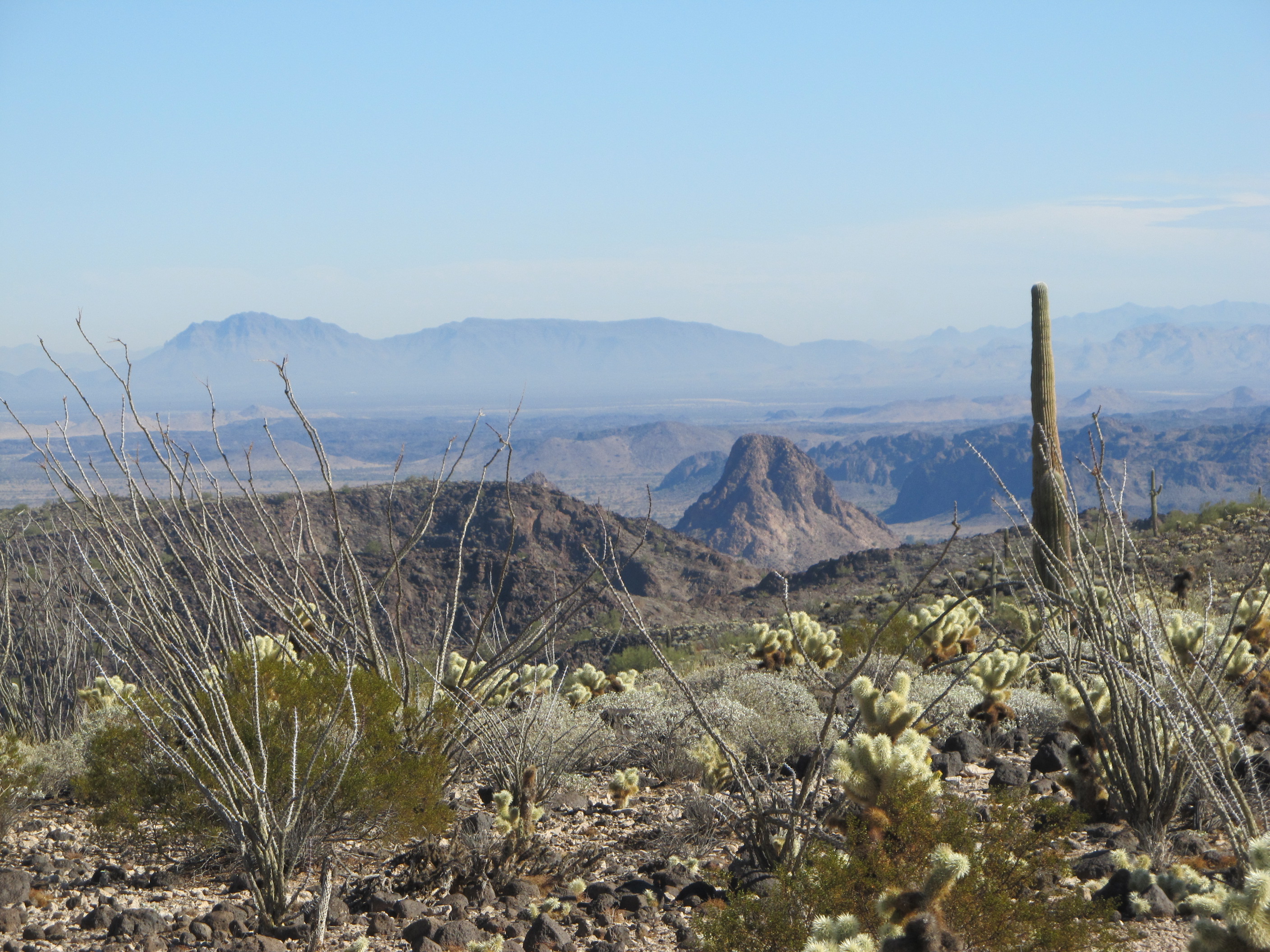
Anxiety Peak
As we rode back down the valley, we saw in the distance another contractor vehicle moving along the road at high speed. He couldn’t see us, though, and that’s all that mattered. Here’s a look towards our next peak, down the valley.
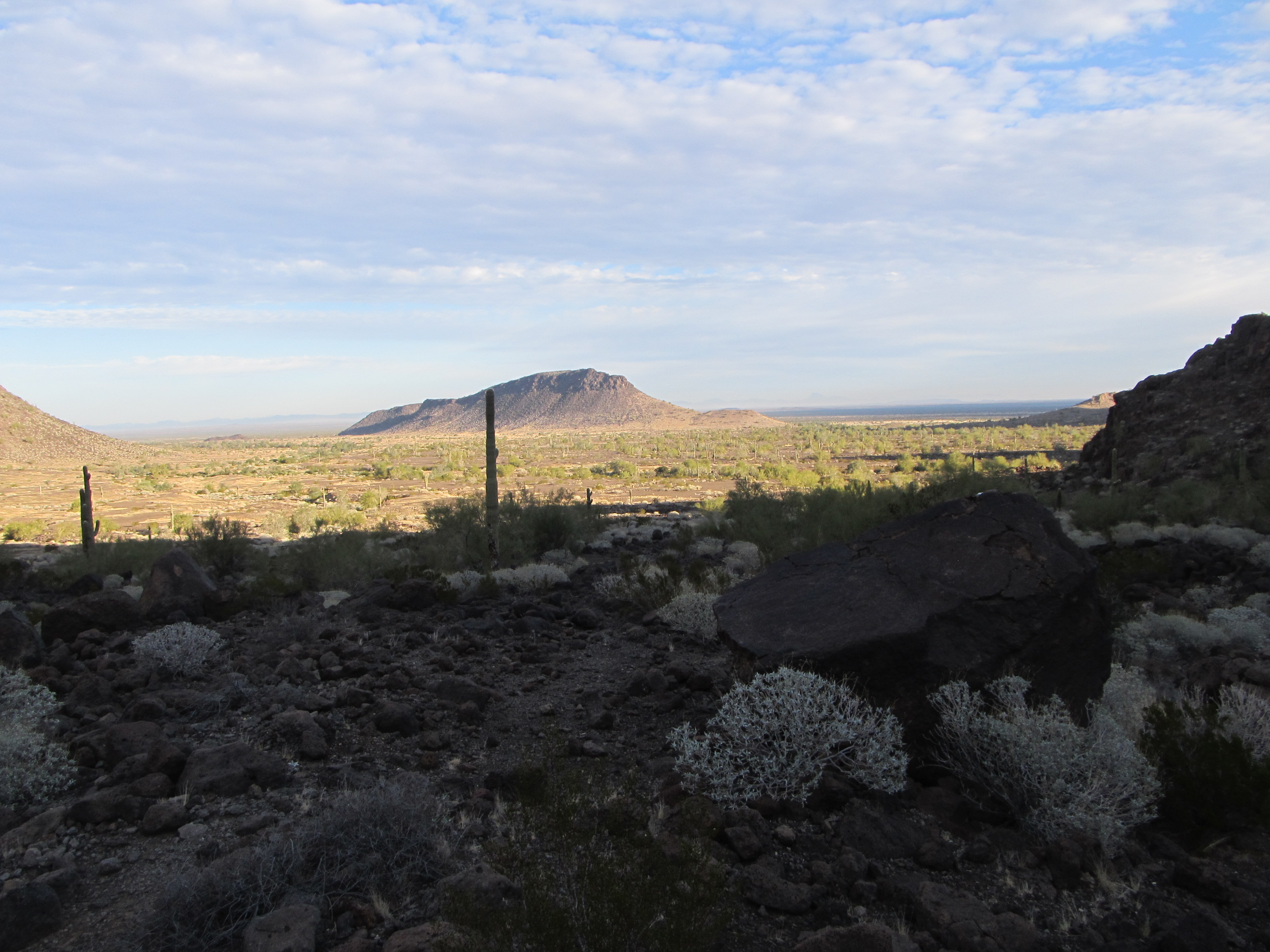
A look towards our next peak
We parked our bikes out in the open at the foot of our peak, and found something curious on the ground.
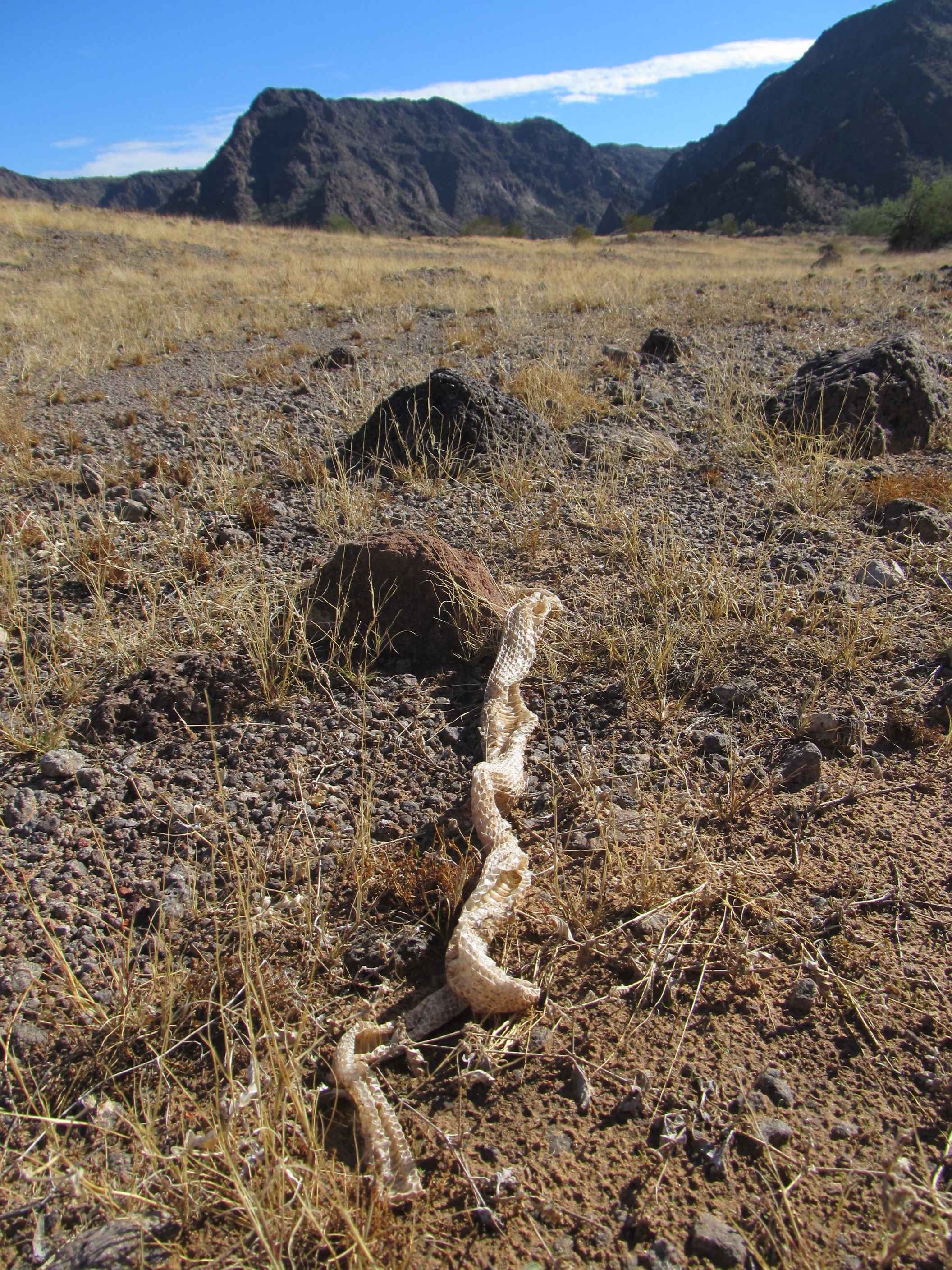
The snakeskin
It was a snakeskin, a full 3 feet long. It must have been recently shed, as it was still soft and flexible. It was complete in every detail, even down to the jaws and eyes.
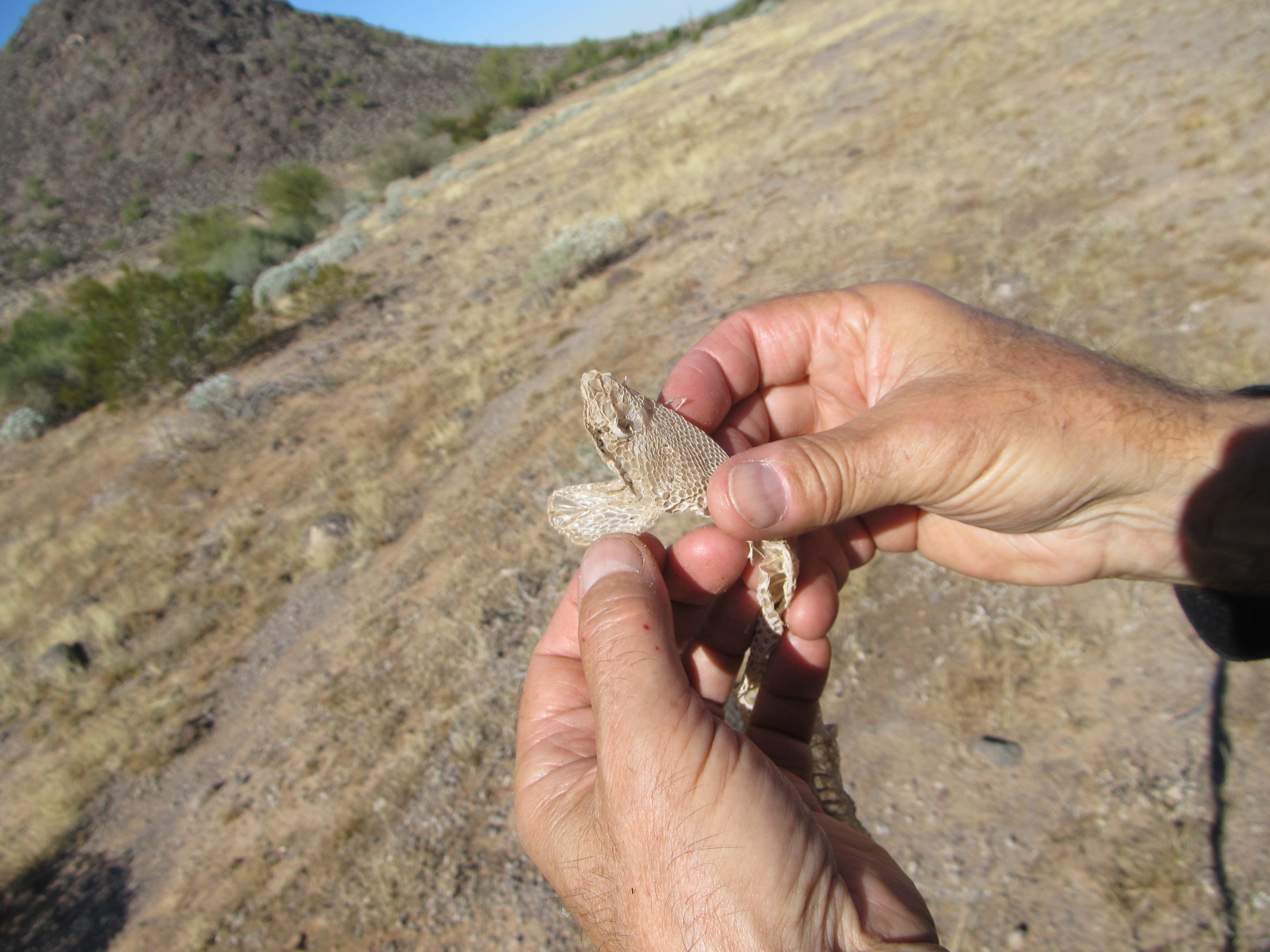
The snake head
An easy half-hour put us on the summit. One of the best things about this range was that, of all 11 of its peaks we had climbed on this trip, there was no trace whatsoever of any Bad Guys on any summit. The range was clean because there was no water in it to help Bad Guys move north – we predicted that in advance, and it held true. A short stay on top, a quick descent to the bikes, and we were back in camp by 3:30 PM.
Luke at the base of our final peak of the day.
Tomorrow would be the day from hell – very long, very hard, it’d test us in every way. We spent the rest of the daylight consolidating gear, burning trash and eating everything in sight.
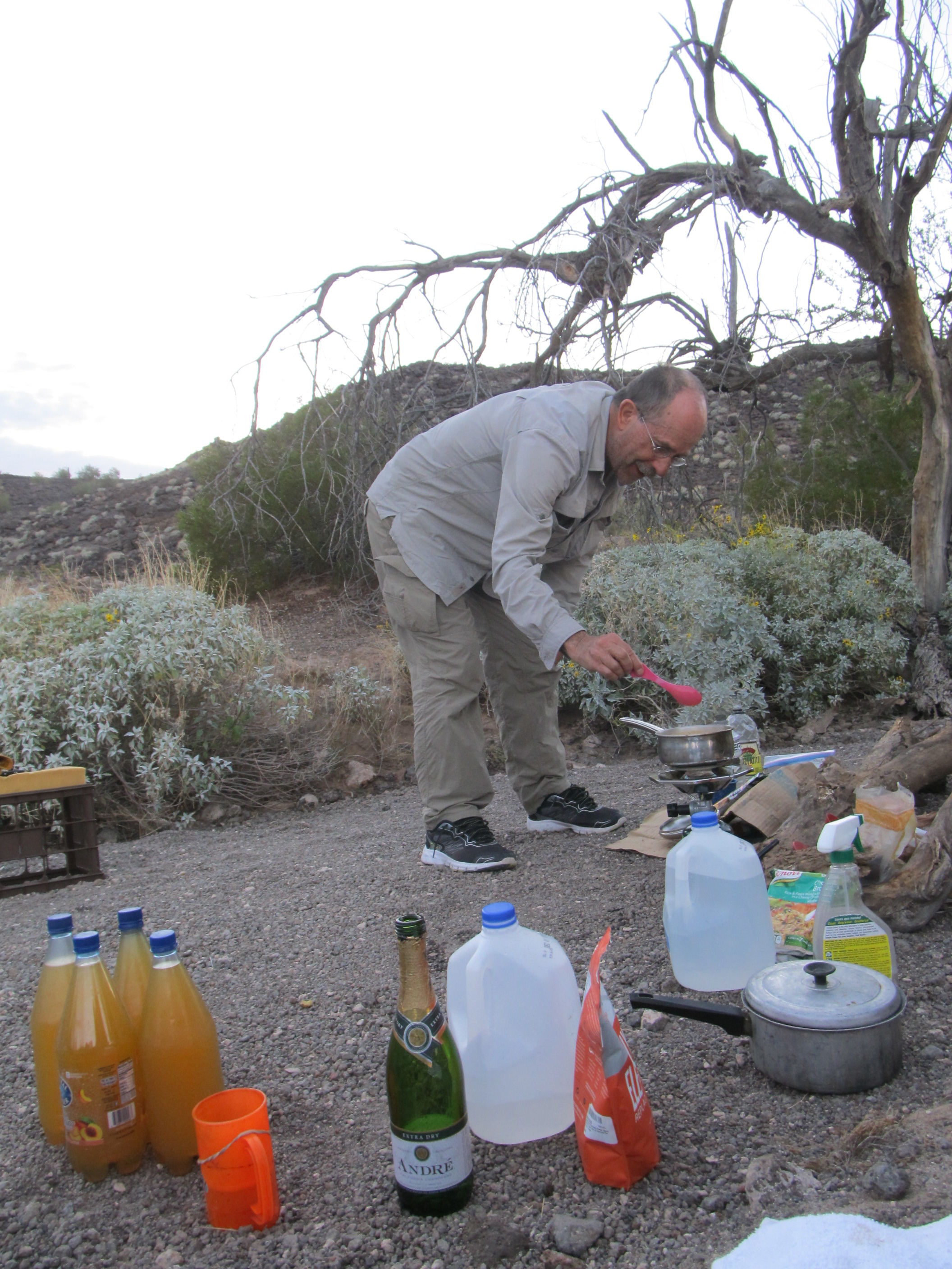
Supper at camp
Since we knew it’d be a long day, possibly with bad weather moving in, we battened down the hatches so that everything would be dry and where we’d left it upon our return. One last satellite check of the weather showed it’d be a close call.
Please stay tuned for the final chapter in this adventure, entitled “The Final Stealth”.