
Arizona has over 7,300 different mountain peaks, so that’s a lot from which to choose. One of the biggest is called Mount Graham, and it’s significant for a few reasons: it is the highest point in Graham County; it is the highest point of the Pinaleño Mountains; it has the highest prominence of any peak in the state – 6,340 feet, to be exact. It’s certainly on the radar of a great many peakbaggers, as it was mine back in 1986.
That year, in March, I owned a beater Honda hatchback and was driving around the state climbing the 15 county highpoints. I showed up late one day and slept high up on the mountain in a campground (which was closed for the season) and spent a chilly night at 9,000 feet. At first light, I donned a small daypack and started walking up the gated forest service road. It was easy going and I made good time up the gentle grade. 5.8 miles later, I arrived at the summit, and was surprised to find it covered with all kinds of scientific equipment bearing a Smithsonian Institute label. Strange, I thought, what’s all this stuff for? I didn’t find out until years later, but I’ll get back to that. The summit of Mt. Graham is 10,720 feet in elevation, making it the 10th-highest peak in the state.
The summit was deep in snow, (in fact, the entire walk in was in snow) but all nicely frozen. After hanging out for a while, I started back down the road. I can still remember coming to a spot where the sun was warming a patch of evergreen trees along the road, the fragrance of their needles filling the pure mountain air. Returning to my car by 11:00 AM, I drove down the road and to my next peak.
I never figured I’d go back to Mount Graham again – after all, I’d climbed it once, so what’d be the point? Years passed. One day I got a call from my friend Dave Jurasevich in California. He needed to climb it, and did I want to come with? Sure, why not. During the 11-year interval, however, something important had happened to Mt. Graham. A multinational consortium had decided to build one of the world’s most powerful telescopes near the summit, on a lesser bump called Hawk Peak (10,627 feet). A years-long brouhaha had been going on about the scope, though. A highly-endangered critter called the Mount Graham Red Squirrel lived there, and only on the highest parts of the mountain. The fish and game department said development of the scope could be all that was needed to wipe out the squirrels once and for all (there were only 200-300 of them still alive). Local Native American tribes said it would desecrate ground that had been sacred to their people for centuries. Court battles raged, and in the end, the telescope won out – that’s always the case with National Forest land. The squirrels would just have to tolerate the construction of a road and whatever else was needed to make the scope a reality. They did get, however, the creation of the “Mt. Graham Red Squirrel Refugium”, a zone a few miles long, mostly above 10,000 feet elevation which would be closed to the public. That shut out the peakbaggers, and the Indians got nothing at all.
So, when Dave called me, the refugium was in place, and being good law-abiding folks, we had to figure out a way to sneak in to the summit that wouldn’t be so obvious. It was late May, and hotter than blazes down low. With both of our Toyotas, we drove to the town of Thatcher and found the road leading south towards the mountain. Here’s what we saw. That’s the summit out there, about 8,000 vertical feet above us. See the big flat area in the middle of the photo just to the right of center? That’s Frye Mesa.
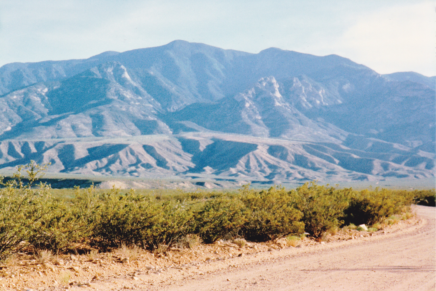
Looking south to Mt. Graham
After 5 miles, we found a decent spot to park and had a few beers. There was plenty of daylight left, so we decided to try to drive farther up the road to check things out. The road was pretty bad in places, and one spot still stands out in my mind.
I was riding shotgun while Dave drove his truck. We came to a rise of about 3 feet, a little wall of solid rock right in front of us, and quite vertical. Dave didn’t even hesitate, he attacked it head-on and powered up and over it. It’s important to say here that you would never make it up this road without a properly-equipped, high-clearance, 4WD vehicle, some experience on rough roads and a lot of nerve. Meanwhile, I sat there looking over the outside edge of the road into the abyss. If it hadn’t been for the beers, I’d have soiled myself for sure. We drove all the way up to Frye Mesa Reservoir at around 4,960 feet elevation. It would have been a perfect spot to camp, nice and cool, but did we? Nope, we headed back down to the lowlands and spent the night there, soaking in our own sweat in the 100- degree heat. Being three sheets to the wind doesn’t help you feel any cooler, by the way. It was a miserable, sleepless night.
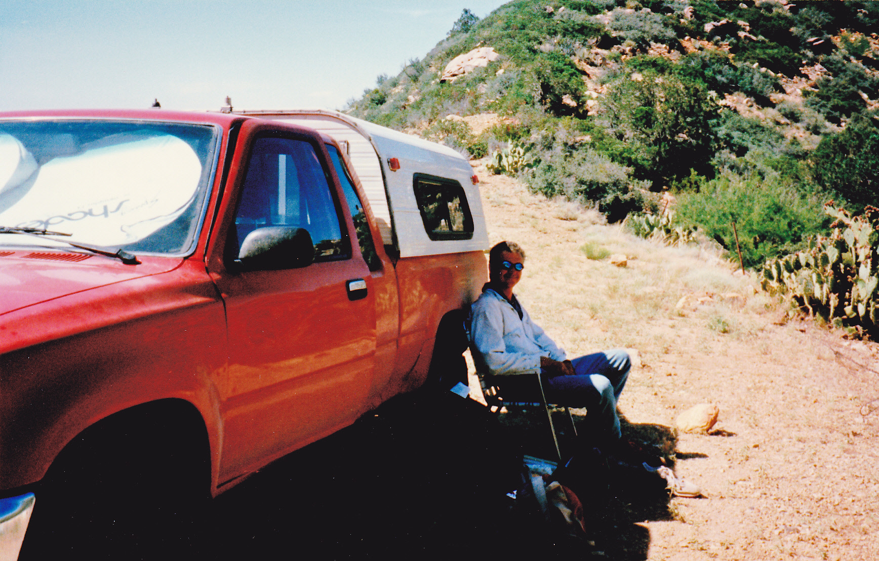
The camping spot of 2 idiots in the 100-degree heat
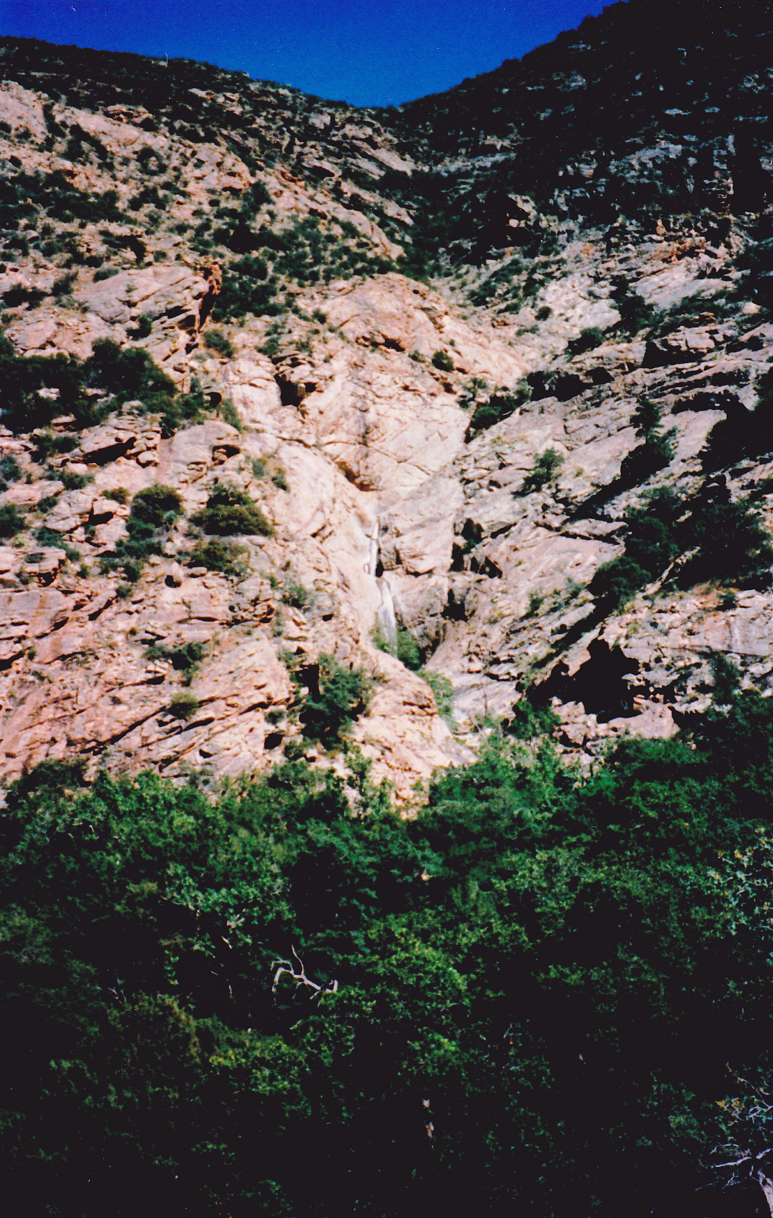
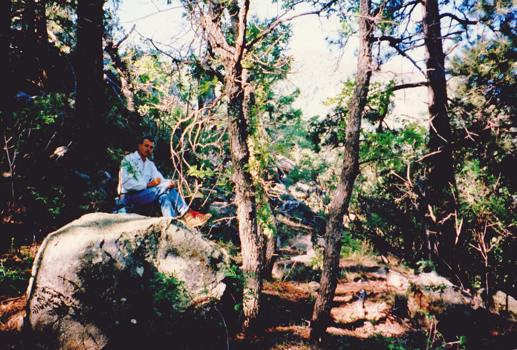
The next morning, all bleary-eyed, we made the drive in Dave’s truck back up to the reservoir and parked. Our goal was the summit of Mt. Graham. There was an old road, nowadays called the Frye Canyon Trail, which we followed for 3 miles up a heavily-forested canyon. It was a perfect blue-sky day as we walked through the forest, but Dave was pretty quiet. In those 3 miles, we crossed the Frye Canyon creek a total of 5 times. The trail can be hard to follow at times, especially where it crossed the creek. Here’s a view to the east from the canyon bottom in the vicinity of Trap Peak, looking up 2,000 feet to the ridge.
Finally, we reached the end of the road at 7,100 feet elevation where we met the Round the Mountain Trail. This we followed about 1/2 mile east up a series of switchbacks until we reached the crest of Trap Peak Ridge at 7,800 feet. We still had 3,000 vertical feet to go, but climbing that ridge seemed like a pretty sure way to get there.
The ridge was very brushy and pretty rocky, and there were many places, in fact a great many, where we had to lose bits of elevation before continuing to climb again. Most of these were small, nearly all under 40 feet, so they didn’t show up on the topographic map. All of that extra climbing cost us a lot of time and effort.
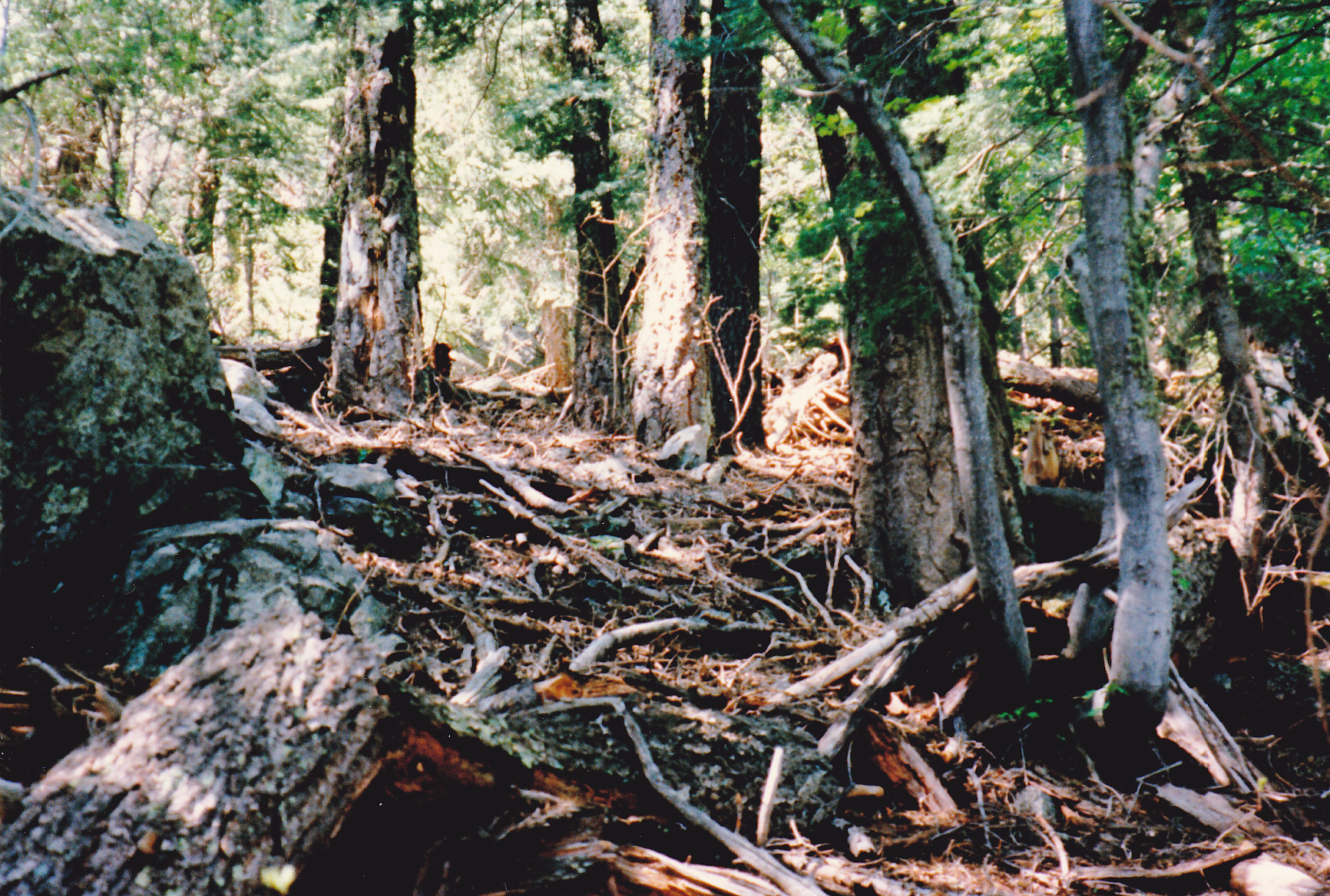
In the forest
We continued up and over Points 8030 and 8855. The ridge we were on was becoming broader and less noticeable, as it flattened out into the huge mountainside.
Dave figuring out where the hell we were
At times, the forest was thick enough that there wasn’t much light getting to the forest floor, like this shot of Dave snacking – see the first bits of snow on the ground behind him?
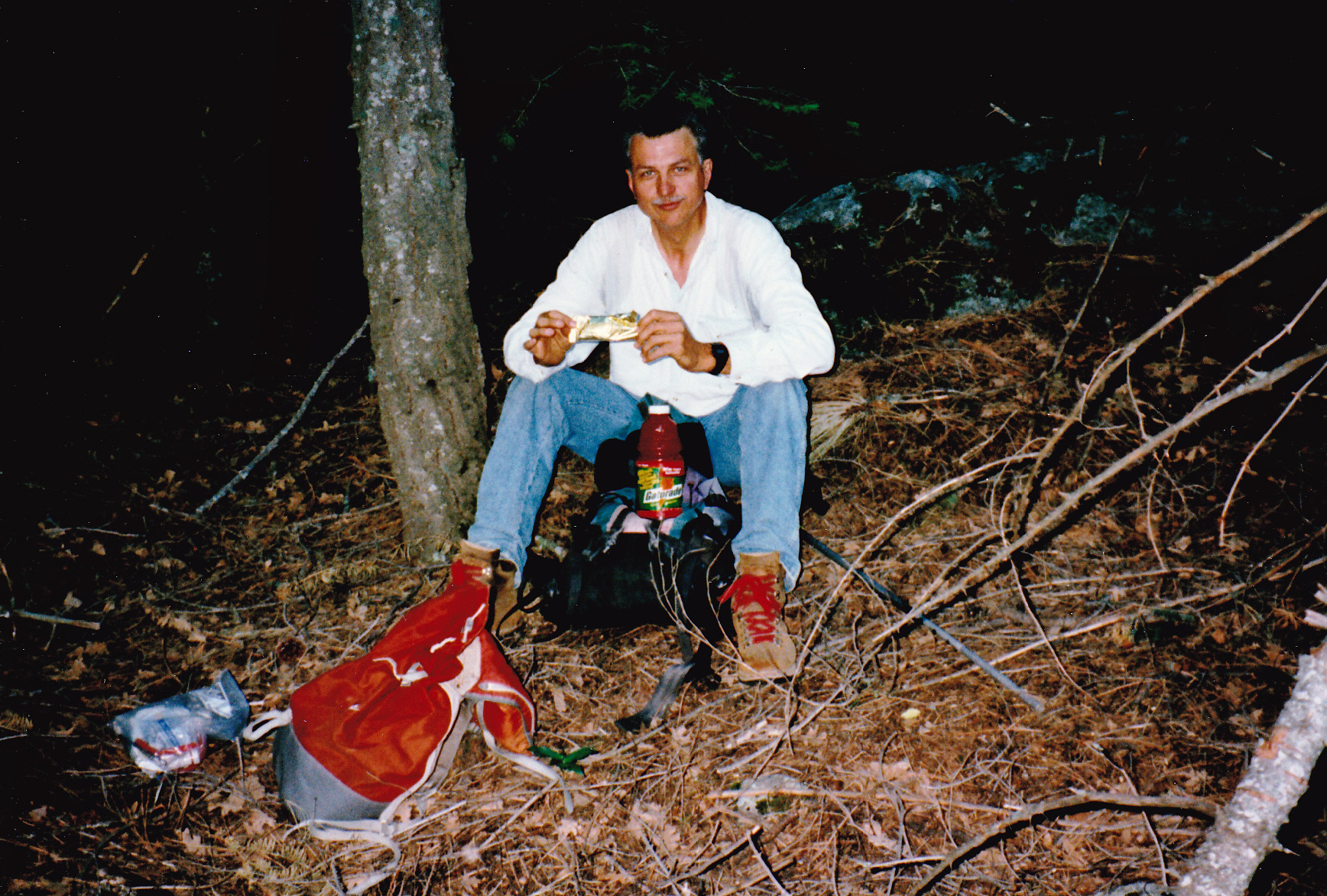
Dave
It started to occur to us that if we didn’t mark our way somehow, once we came down from the top it would be very easy to miss our ridge altogether. (This was before we had GPS). And that would be a bad thing indeed. Here’s why.
As you headed down from this huge mountain, it separated into countless ridges, all heading for the desert floor. Some of them, especially on the north side we were on, dropped as much as 8,000 vertical feet. Get on to the wrong ridge and you could end up many miles from where you wanted to be. Get on to a bad ridge and you could be forced off of it into a hellacious canyon that could lead you nowhere fast and into a world of hurt. I’ve carried surveyor’s flagging tape in my pack for decades, and use it a surprising amount, but of course today I had none. Dammit, not good. We emptied our packs, looking for anything that we could use. Aha! Dave had one of those silver emergency space blankets, and I had a sharp knife to go along with it. We spent some time cutting it into narrow strips – these, we’d use as flagging. We didn’t have an infinite number of these, so used them sparingly. Here they are tucked into Dave’s pockets.
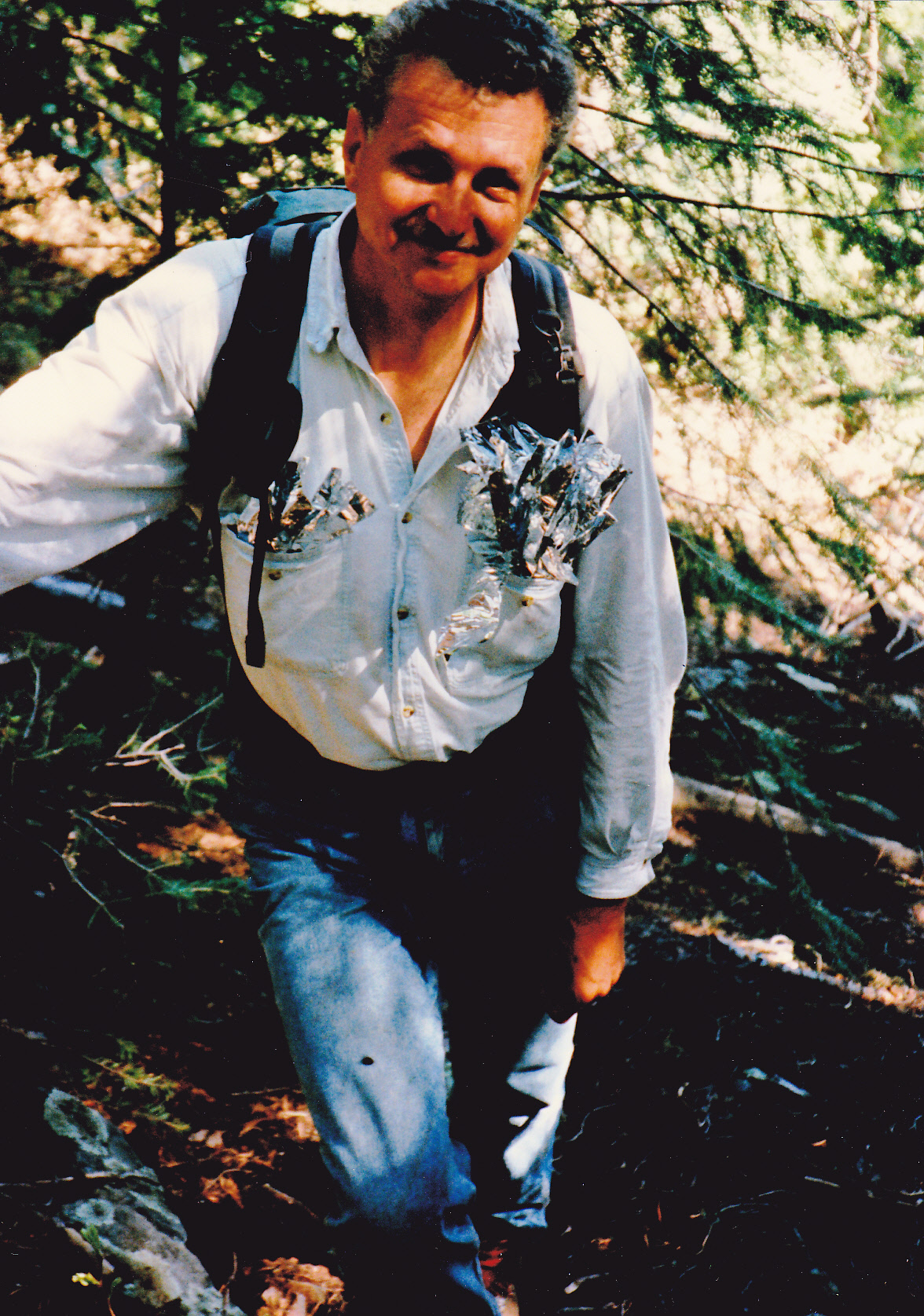
The makeshift flagging
The forest was thick with large trees, but visibility was fairly good. We tied the strips to whatever was handy to mark a route. Something else had entered the picture – snow! It wasn’t snowing, as we had a clear blue sky, but we noticed patches of it on the ground. The higher we went, the more of it there was, until the ground was completely covered with it. The higher we went, the deeper it became, as much as 3 to 4 feet . That wasn’t a problem, though, as it was old and solidly-packed and could be easily walked upon. Above Point 9930, the mountain slope remained pretty steep , making the hard-packed snow pretty slippery in places. Things didn’t ease up until just below the summit.
There we were, on top of Mt. Graham, elevation 10,720 feet. In the chill air, we sat and ate a well-deserved lunch. The sun had melted off most of the snow on the summit.
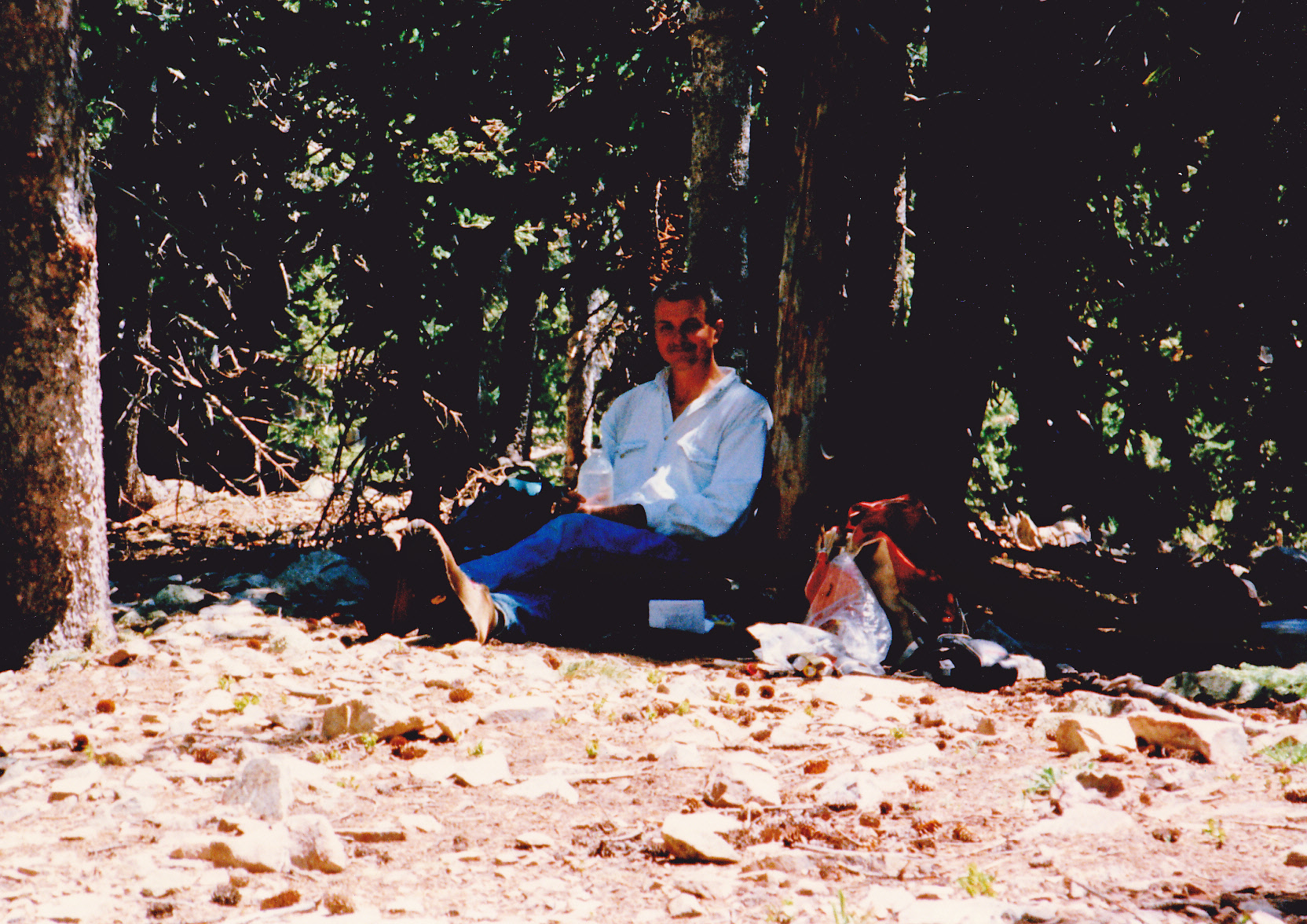
Dave on the summit
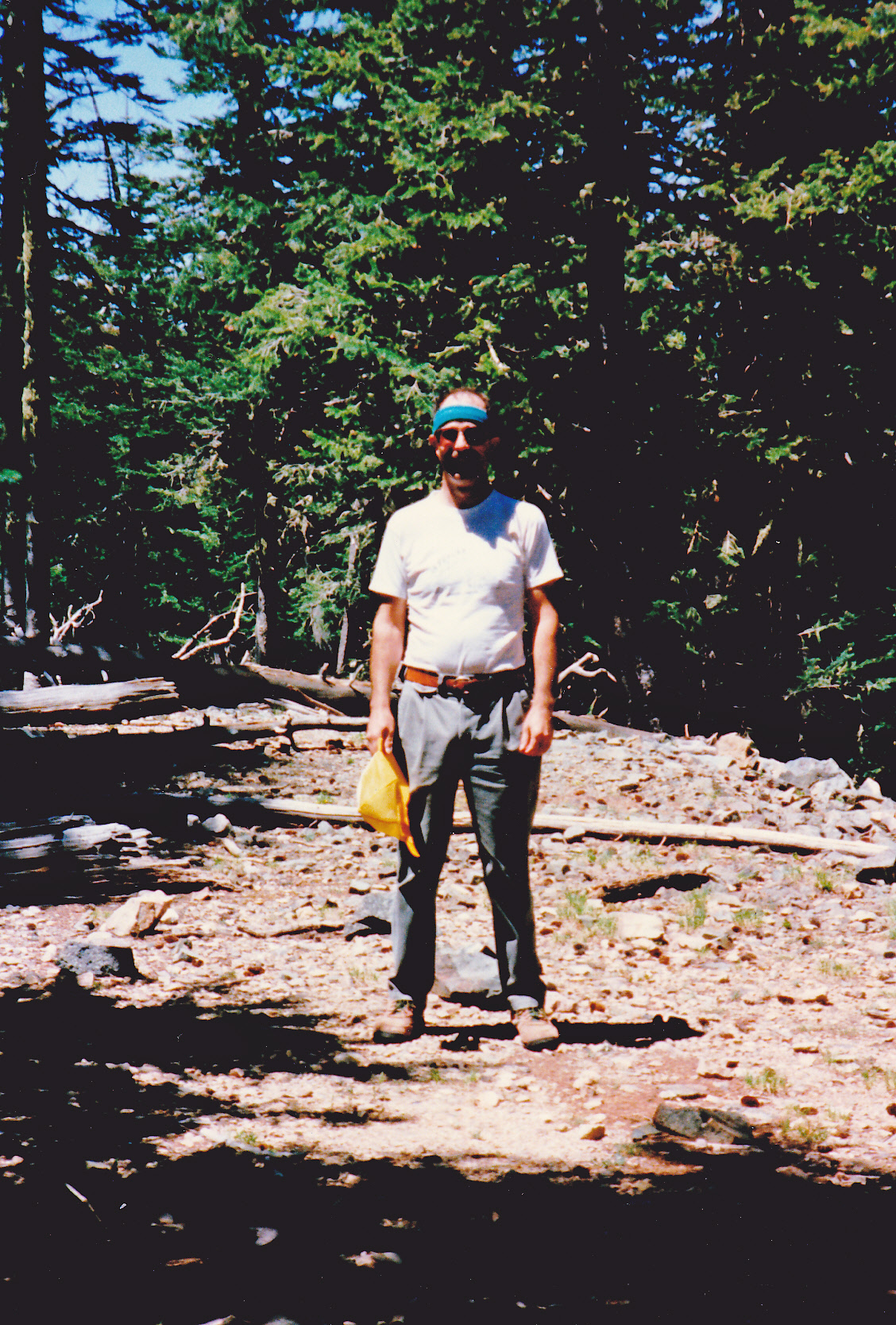
Yours truly
What a day it’d been so far! We’d sneaked in by the back door, and felt pretty pleased with ourselves. It was the perfect stealth – nobody would ever expect anyone to climb the peak this way, the amount of effort involved was so outrageous. We didn’t stick around long, because we knew that so much time and effort would be needed to get down off the thing and back to Dave’s truck. Well, suffice it to say, we did make it down okay. Two things to note: those bits of flagging we’d tied to trees saved the day, as it would have been so easy to stray off that ridge and into trouble; to this day, Dave doesn’t really remember the 3-mile march up Frye Canyon. He says he must have done it in his sleep. Personally, I think it was the beer from the night before.
As the years passed, I never thought I’d have any reason to go back to Mt. Graham. Why would I, having done it twice? But as I’ve learned in mountaineering, never say never. Fast-forward to the year 2009. A fellow I was working with said he’s like to climb the mountain and had I ever done it before? It seemed like a good idea to go back, so away we went. We walked the Forest Service road from the south, the same way I’d walked in way back in 1986. There was a notice posted along the way, warning not to enter the refugium (remember the squirrels?), but of course we ignored it and carried on. About the only thing that stands out in my mind from that day was seeing a flock of wild turkeys at 10,300 feet near Plain View Peak.
I even went back one more time, in 2011. A friend and I walked the road together, and as we sat on the very summit under a tree eating lunch, some movement caught our eye. A mama black bear with two tiny cubs in tow hurried by, not a hundred feet from us. I don’t know if they saw or heard us, but surely must have smelled us. They had crossed our path of travel a bit lower down, and bears have an incredibly good sense of smell, much better even than a dog. Maybe that’s why they were in a hurry, she was trying to get her cubs to safety. In my 30 years of climbing in the desert, that was the only time I’ve ever seen a bear.
Fires had burned off much of the forest on Mt. Graham in the years since Dave and I had been there, and it was sad to see. As a result, the experience was certainly diminished. One more thing to note – judging from the number of entries in the summit register, nobody seems to care about the ban on travel in the high country – it must be the most common trespass in the state of Arizona. I’ll bet it’s because of all of the activity generated by the telescope on a daily basis. If they can be in there doing that, the commotion they make must be many times the impact of a few climbers quietly walking the old road to the summit. Climbers will never ignore such an important draw as Graham, and are going to go there no matter what. Besides, everybody needs a good stealth from time to time.