
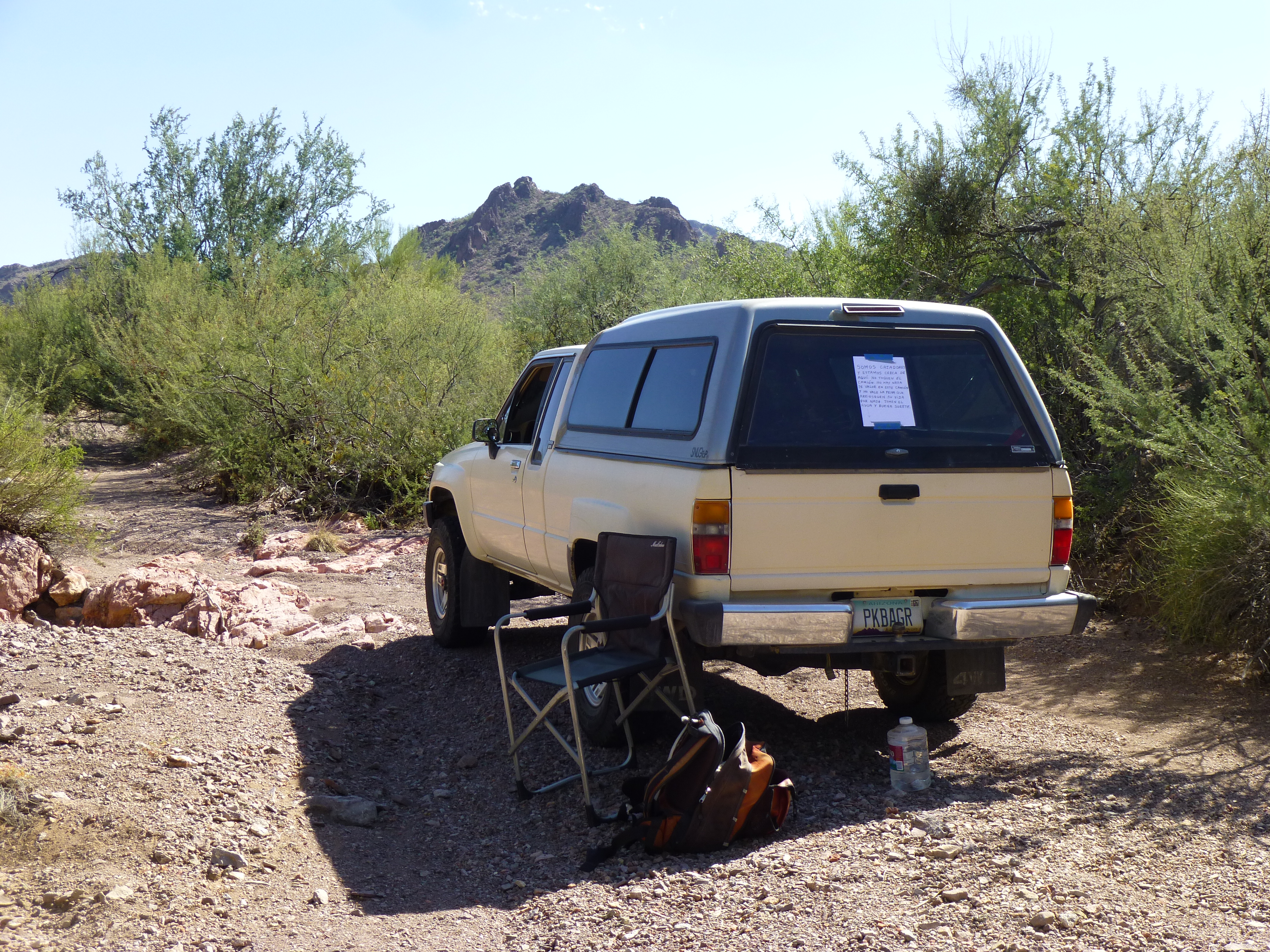
Each October, during what is called Fall Break, I take an entire week to go climbing. Daytime high temperatures can still hover around 90 degrees F, so the weather isn’t exactly what you would call cool – I just keep my fingers crossed and hope for the best.
Day 1 – I left home at 8:00 AM and by 10:30, I had entered the bombing range. It was all dirt roads from that point on, and 22 miles later I arrived at a spot called Javelina Camp – it was now 1:15. The roads worsened, in places almost non-existent, and I finally called it quits at the 27-mile mark at 2:00. I climbed a peak that afternoon, and by the time I got back to my campsite it was 5:15 and still 86 degrees. A quiet night, just the way I like it.
Day 2 – The next morning, I was on my bicycle by 6:00 AM, first light, using it to get close to my peak. Three hours later, and with 9 miles under my belt, I had climbed my peak and was back in camp. This climb and yesterday’s have been previously written up on this website in a story called “Quail”, which I think you’d enjoy reading if you haven’t already. Just click the tab “Stories” and scroll down the list of stories on the right side to find it.
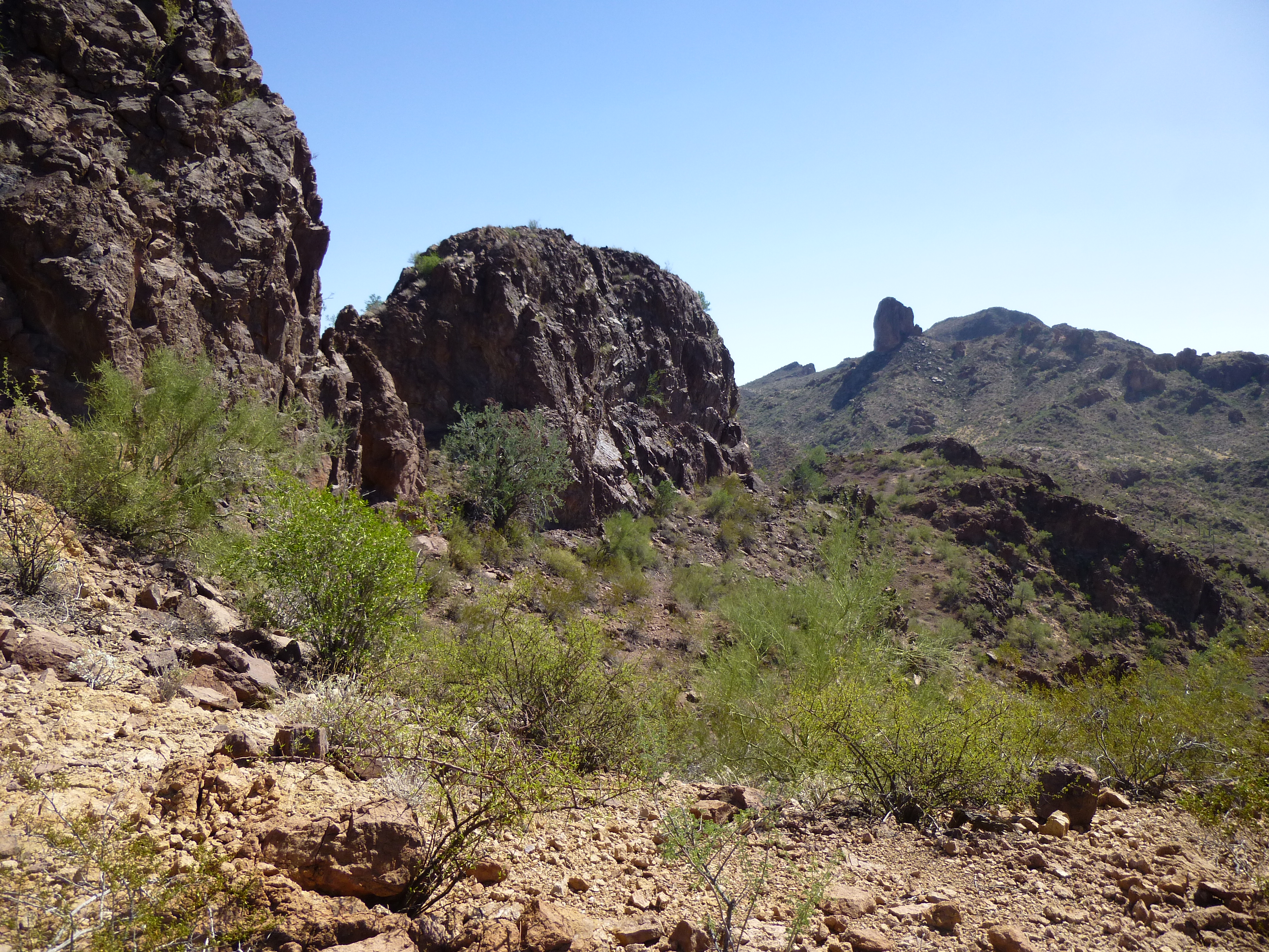
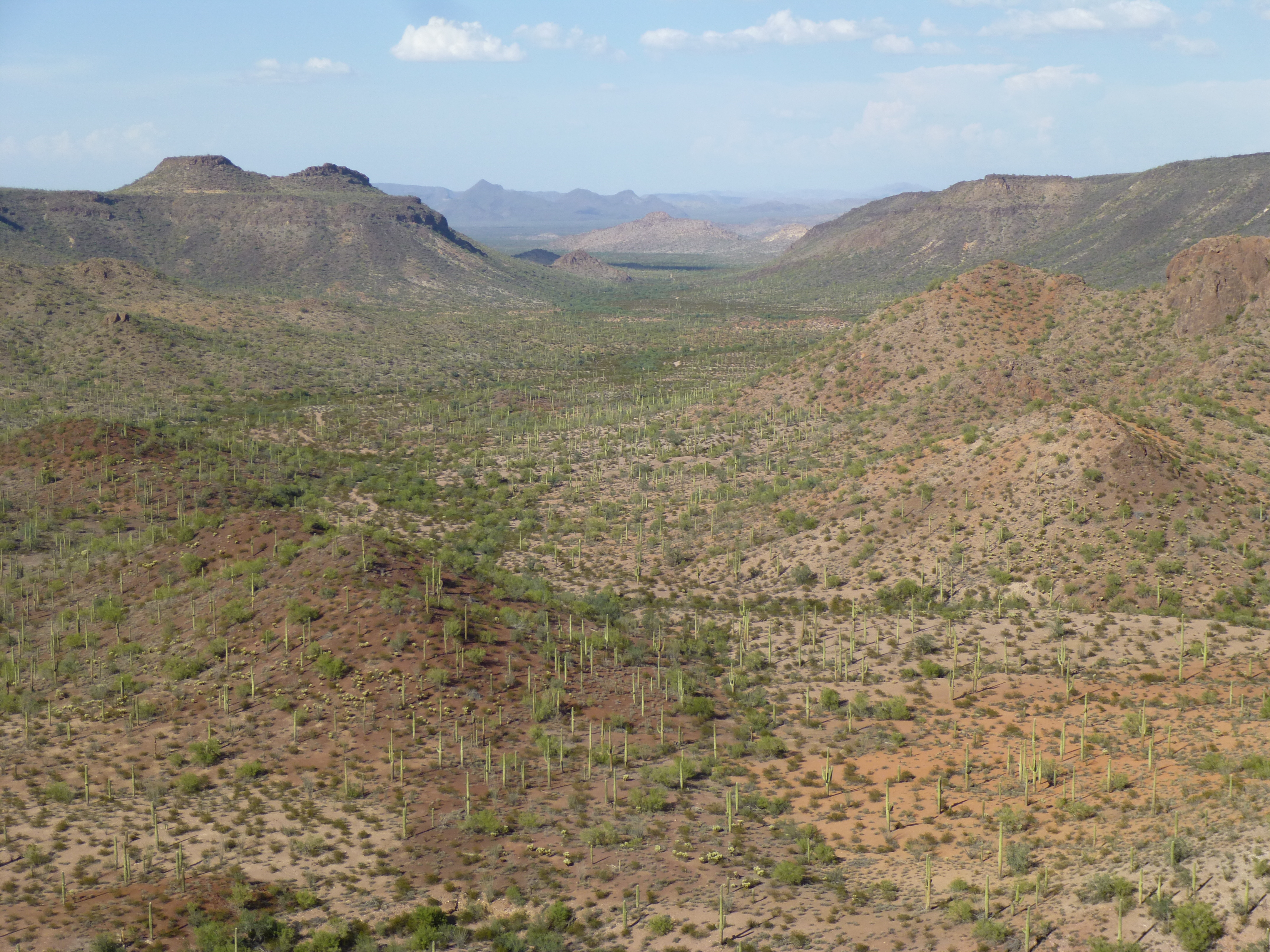
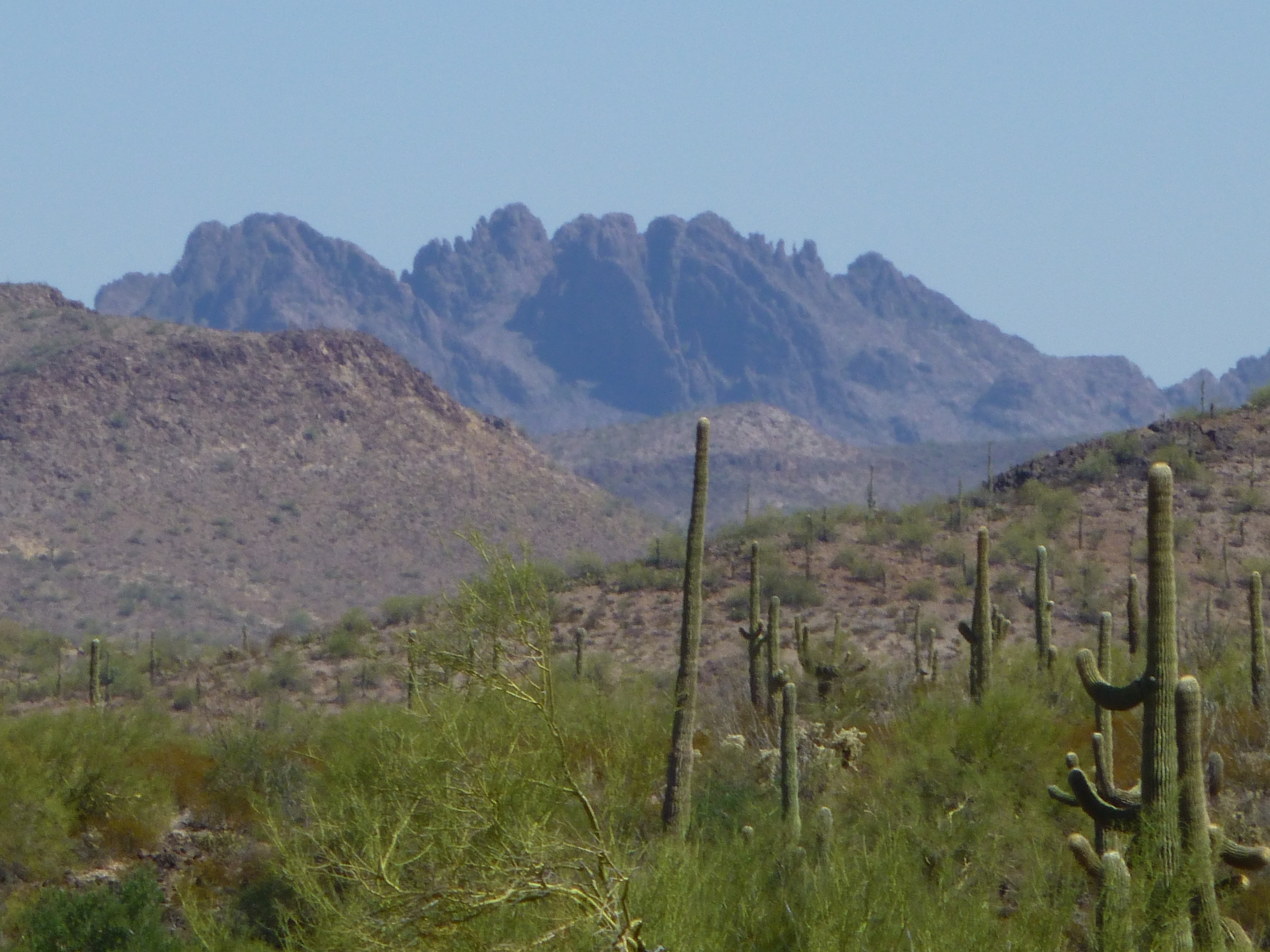
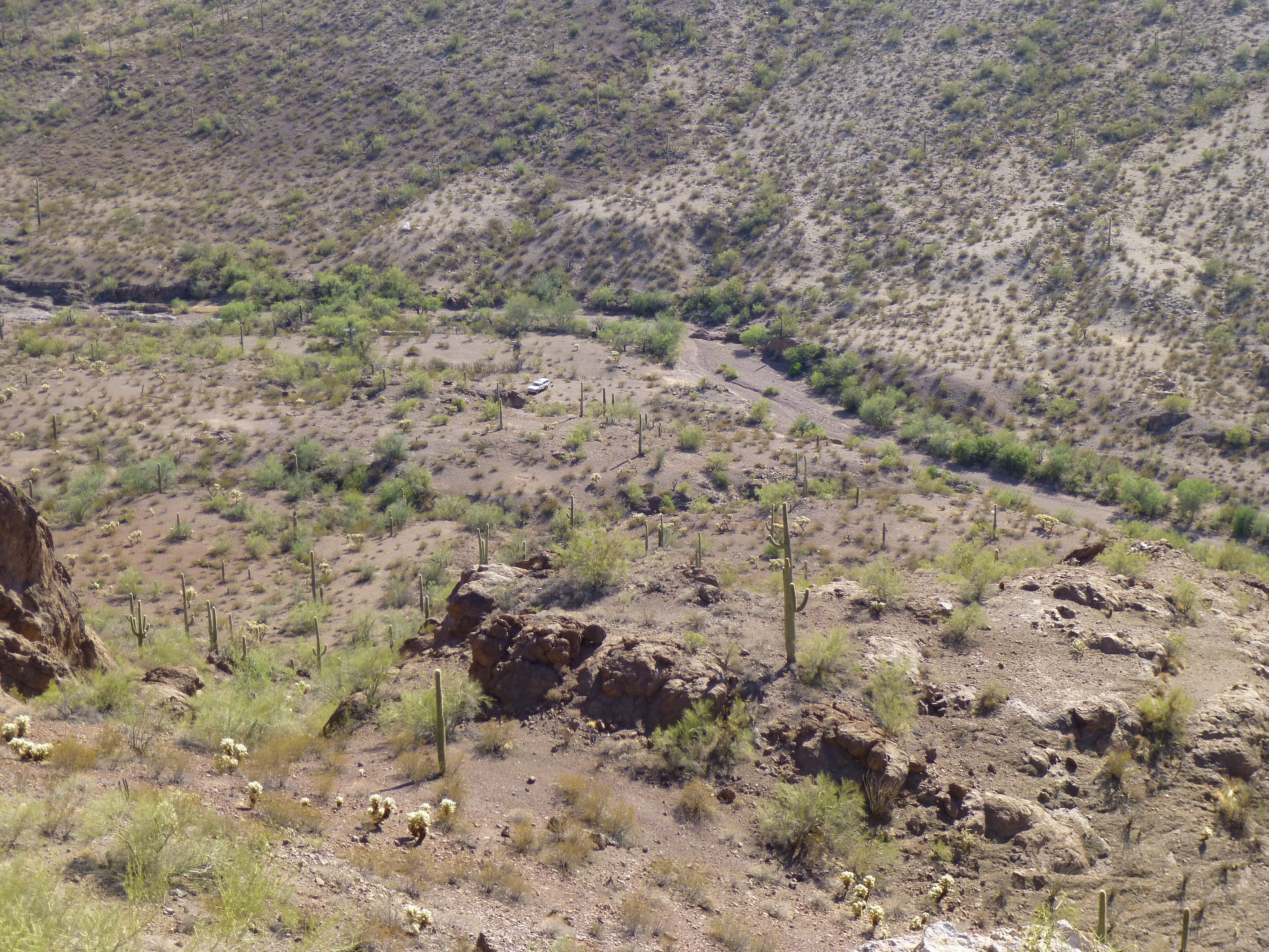
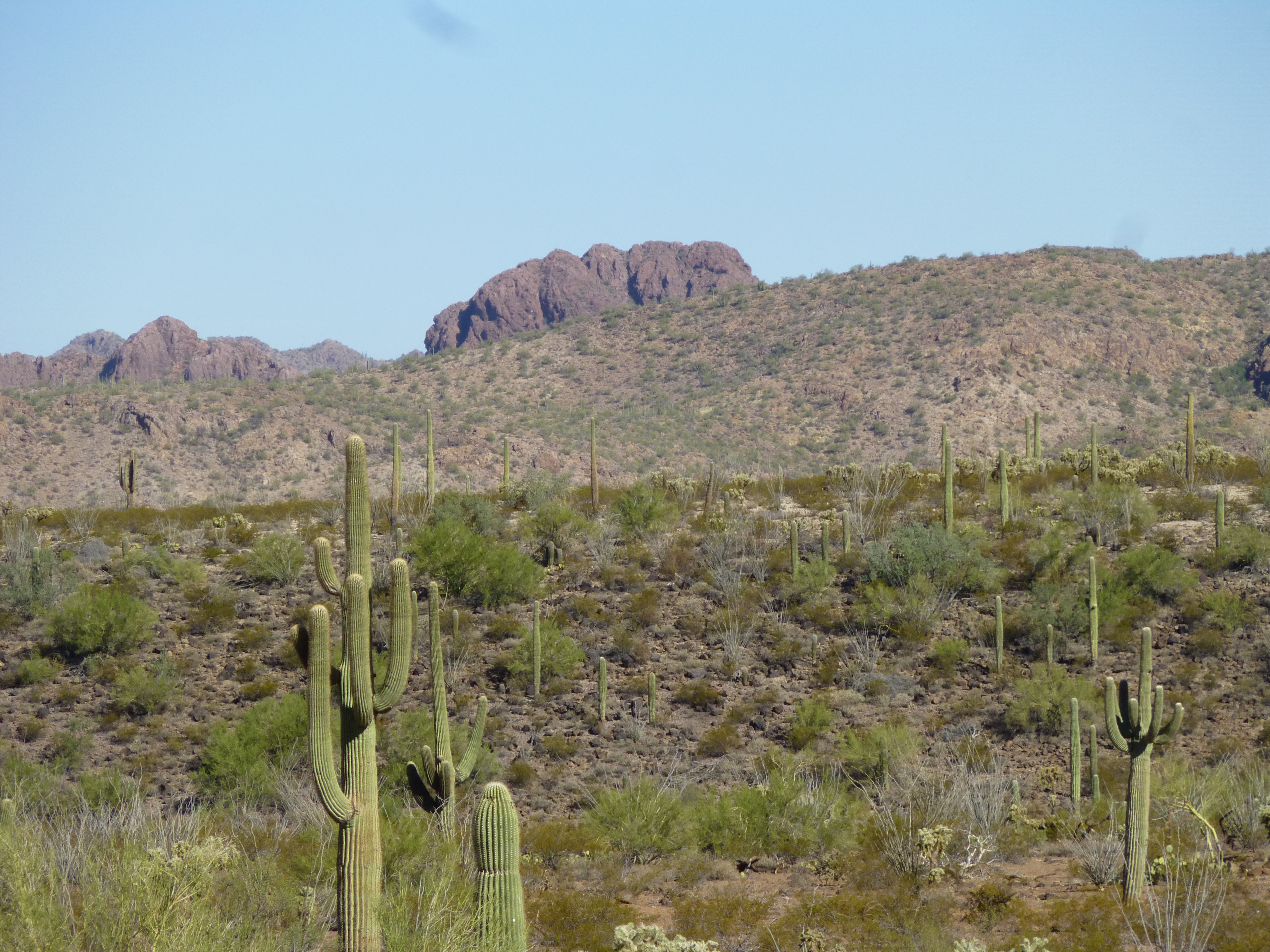
Since I finished my peak so early in the day, I was all set for more climbing. To escape from this remote spot, I had to negotiate a bad hill on the way out – I’d been worried about it since yesterday, but it went okay. Once past that, I made my way back through Cougar Canyon and out to Javelina Camp once again. If only there were a way to drive close to my next peak….. near Javelina Camp, I found a wash that filled the bill – driving up it as far as practicable, I parked and got my pack ready. In the next photo, the peak in the distance is the one I wanted. It was noon when I started out.
Looking south to Peak 2700
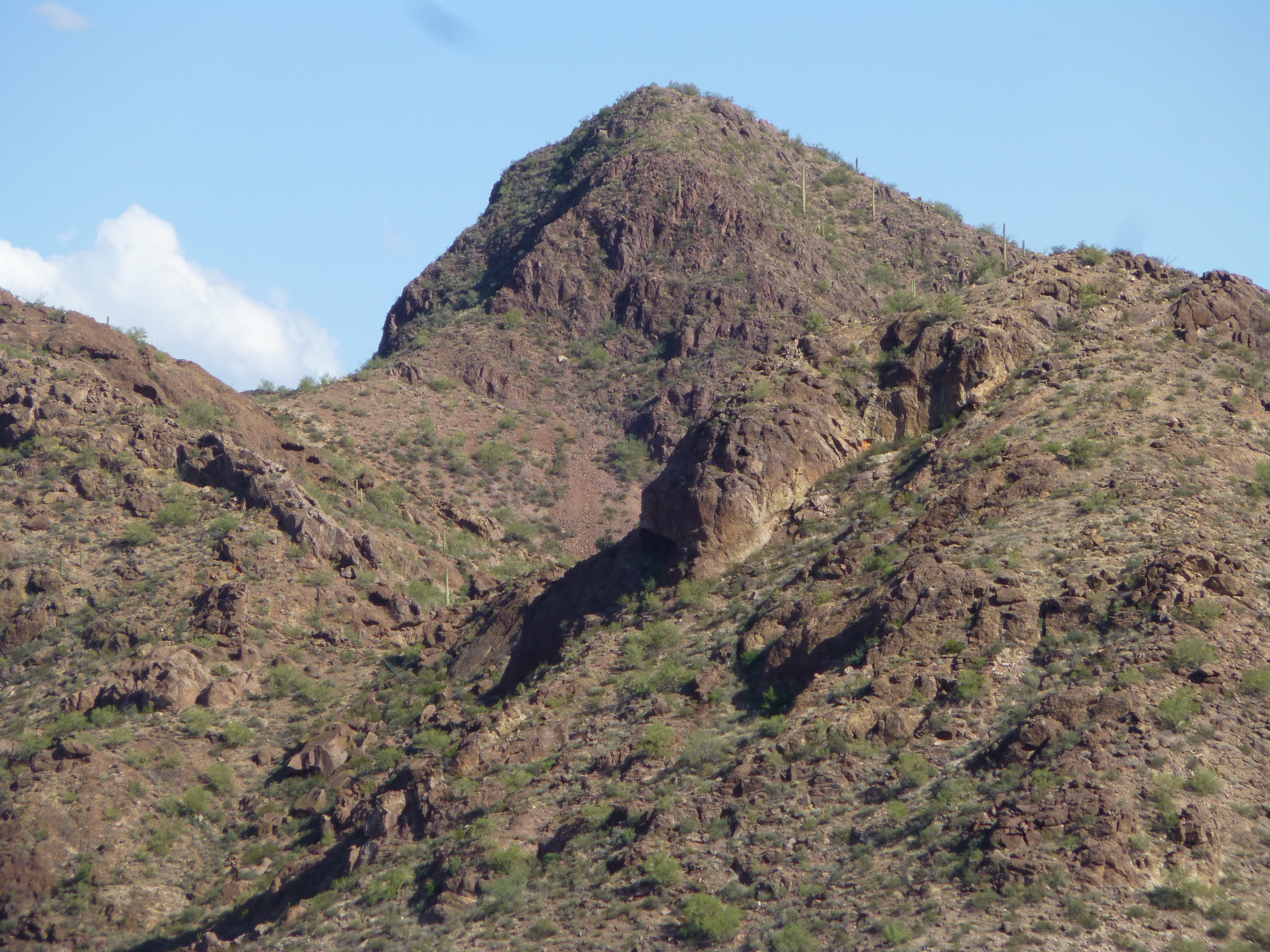
It was easy going through fairly open desert, pleasant walking but a bit hot. In about a mile, I reached the base of the peak and started up its easy north side. Upon reaching the top, I found 2 bumps competing for the high point. Here is what I saw.
Near the top.
I didn’t know which of these 2 rocky towers was the higher, so I did a Class 3 scramble up the one next to me, only to find that the farther one was in fact the winner – and there I was on Peak 2700. The vertical pillar in the distance is the one-and-only Tom Thumb. From the top of 2700, there were some important views. This next one is to the northeast – we are looking at the very flat-topped Donkey Benchmark (click on this link for a map).
https://listsofjohn.com/qmap?lat=32.5573&lon=-112.5564&z=12&t=u&P=300&M=Desert+Mountaineer
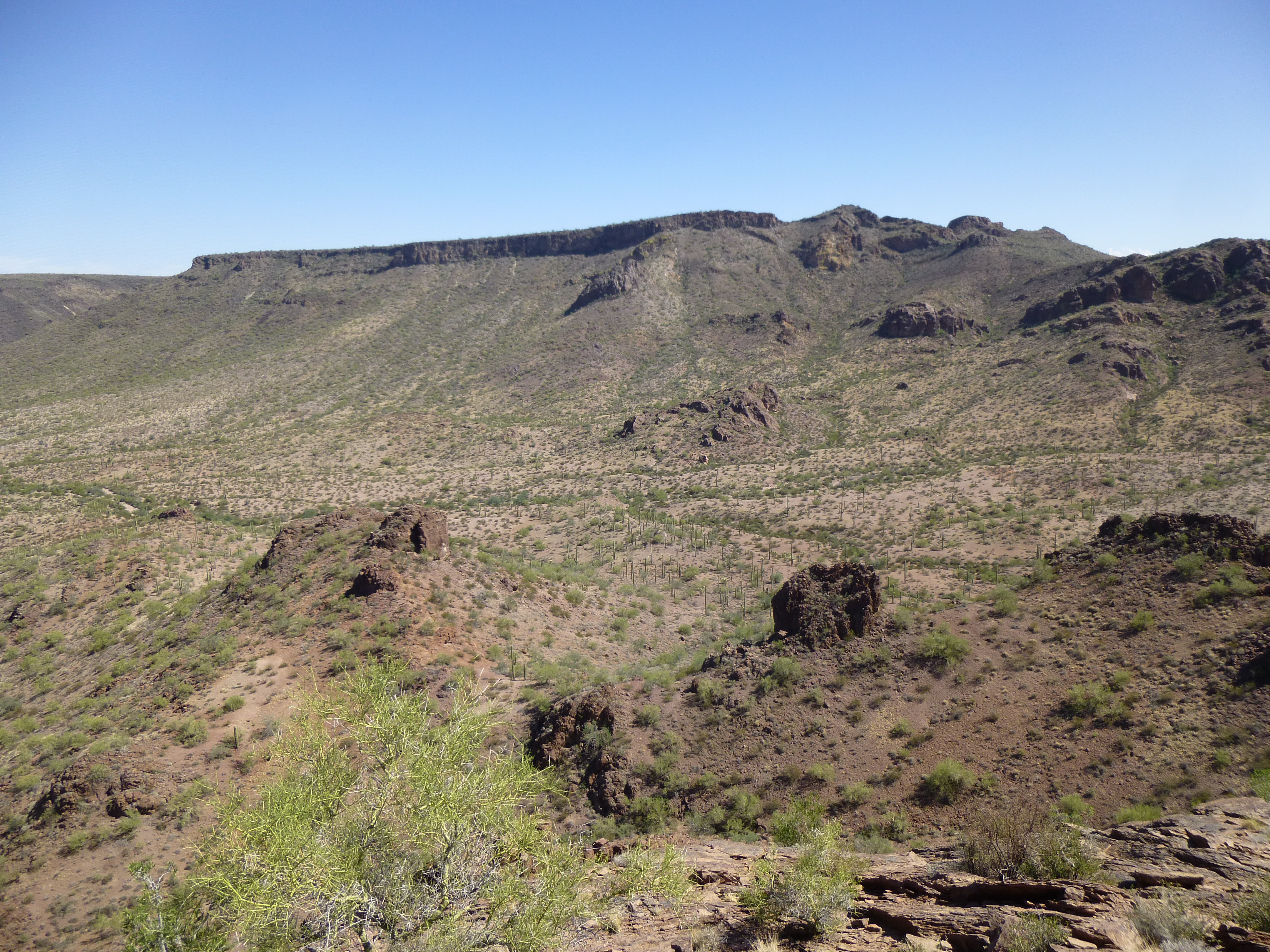
Donkey Benchmark
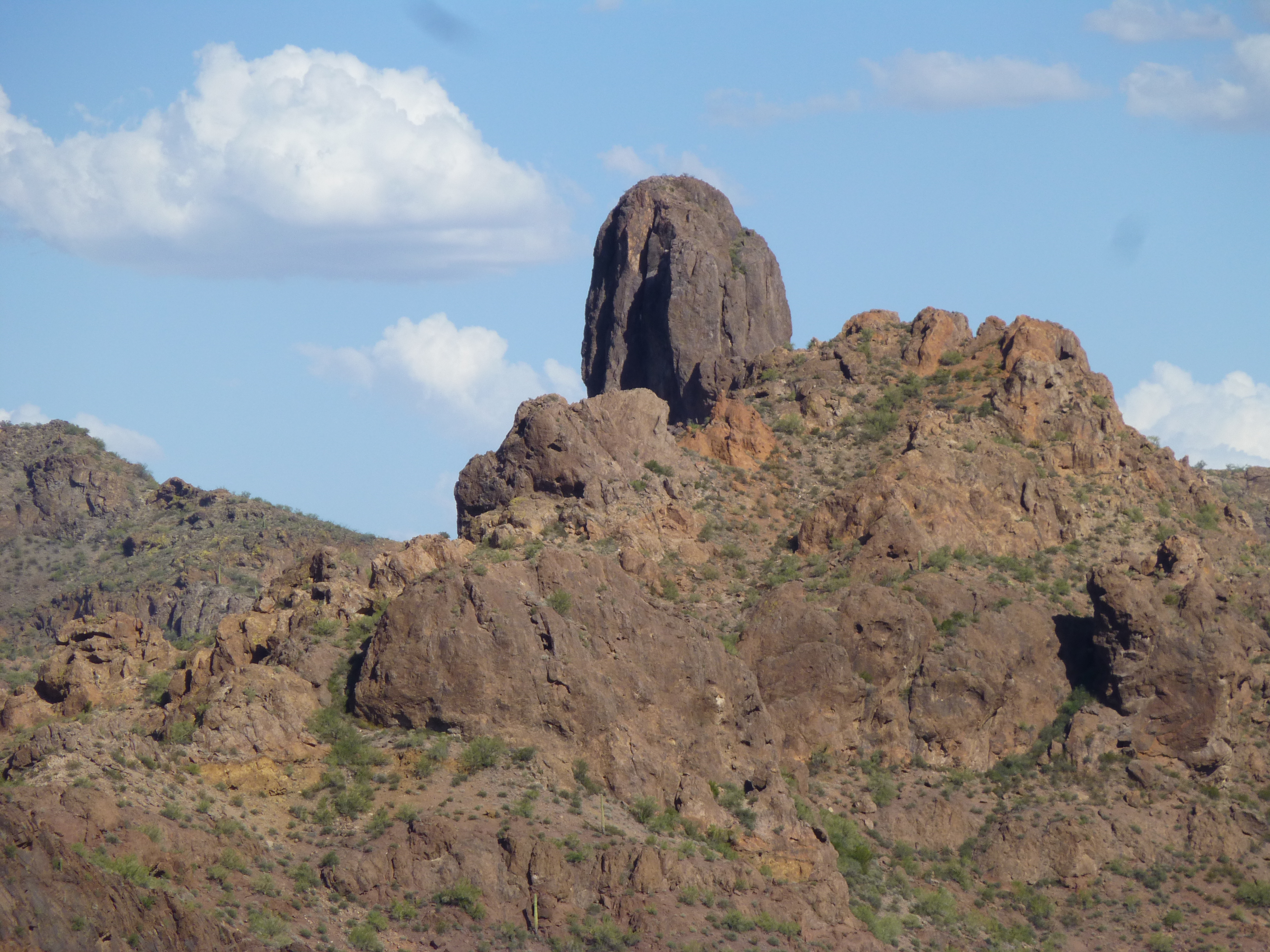
One more to note – this view to the southwest, where we are looking at Peak 2790 – Mark Adrian, with some clever route-finding, led the first ascent of this peak back in 2012.
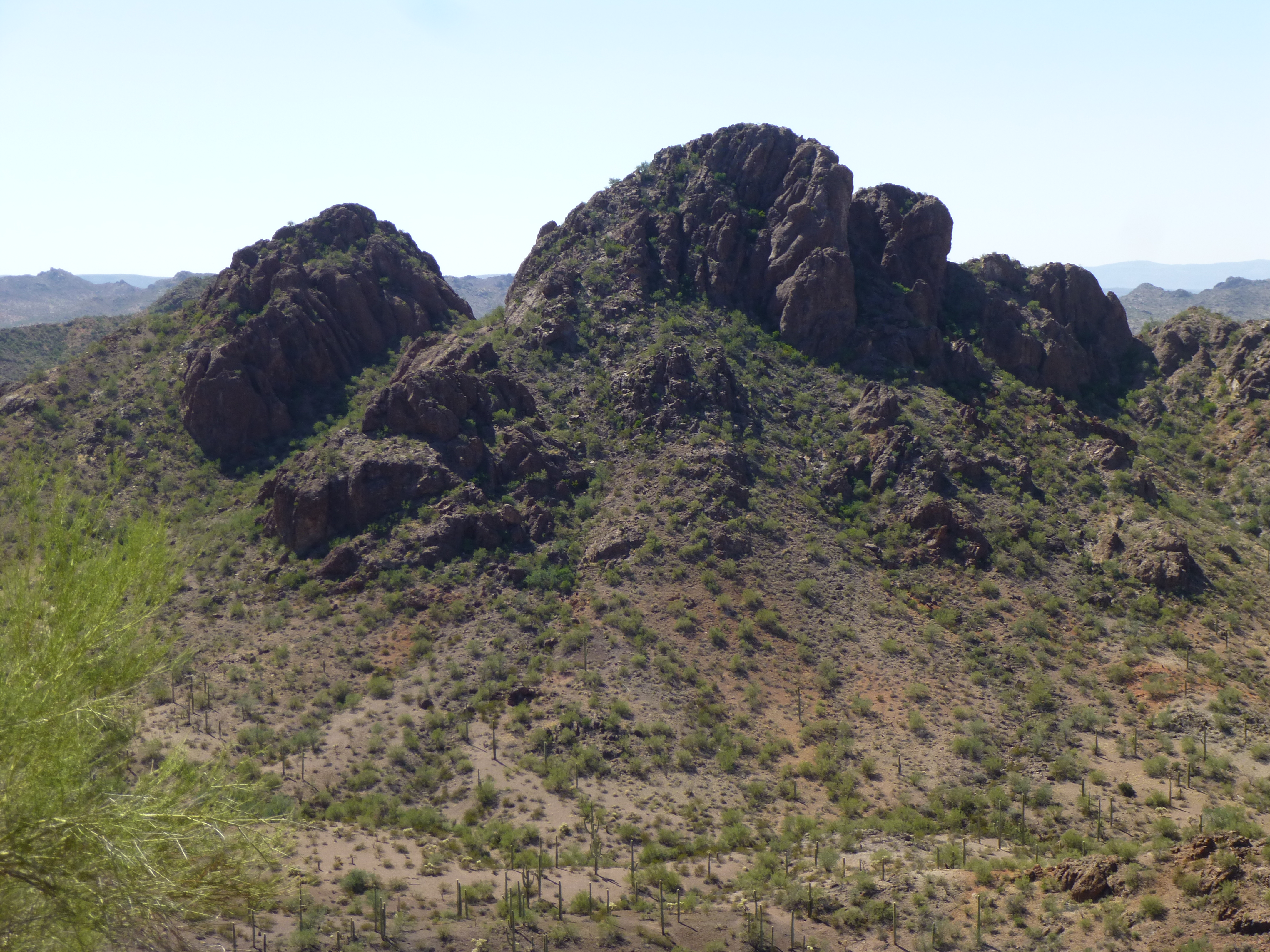
Peak 2790
Great views, all around. I left my usual register and started back down, reaching the truck again by 2:00 PM. Man, it was really heating up by now. On this trip, I wasn’t traveling with a cooler filled with cold drinks, but I did have ice-cold air conditioning. Cranking it up to full, I drove back down the wash to the dirt road and continued south to my next peak. Little did I know how my day was about to get turned upside-down.
From where I parked, it was an easy 25 minutes to scramble to the top of Peak 2660. While preparing the register, I couldn’t help but notice more of the amazing views around me. Check these out.
This first one is looking north through Cougar Canyon, and I direct your attention to a couple of peaks visible. The big peak on the left skyline is Peak 2817, first climbed by Gordon MacLeod and Barbara Lilley way back in 1989. And through the wide gap in the middle of the picture, there’s a pointed peak on the left side of the gap on the skyline – that is Slag Benchmark, 14 miles distant..
Looking north
Look at this next one – it’s a telephoto shot of Peak 3180, only a mile away, and this is the steep west side.
Peak 3180
And here’s the best view of all. This is the upper part of the outrageous Tom Thumb, un-climbed until 2010.
The west side of Tom Thumb
For such a small, insignificant peak, it surely did offer up a bunch of impressive views. After a few wonderful minutes on top, I started down the way I’d come up. It was easy going, and maybe half-way down the mountainside I noticed a faint sensation in my right leg, down on my shin. At first, I didn’t think much about it, but it crept back into my consciousness a few minutes later. What the heck! I pulled up my pant-leg and was shocked to see a huge bruise forming directly over the flat part of the shin, over the tibia, about 6 inches below my knee. Not only was it turning blue, then purple, then black, all very quickly, but it was swelling up.The strange thing was that it didn’t hurt at all. Nevertheless, I was shocked to see this.
It was only a few more minutes to my truck, and by the time I reached it, my mind was racing. What was happening to my leg? I only had two, and I couldn’t very well afford to lose one of them. Had I been bitten by one of our many poisonous desert creatures? Had I burst a blood vessel deep inside my leg, or did I have a blood clot? Was this some life-threatening emergency? I’m no doctor, so I didn’t know. The nearest hospital was a hundred miles away. Hell, I couldn’t even make a cell-phone call from way out here. What should I do? In any case, I’d better decide, and now!
In a heartbeat, my mind was made up – I would head out of the mountains. In four-wheel-drive, I drove like a bat out of hell all the way down Ryans Canyon, faster than I’d ever covered the 12 miles before. As I drove, I pondered my options, finally deciding that when I exited the canyon and could use my phone, I’d call my doctor. Yes, it was Saturday and his office was closed, but maybe there was an answering service that could relay a call to him. When I made the call, I explained the situation and asked them to have him call me. Maybe 15 minutes later, my doctor whom I’d trusted for 25 years called me back. He listened patiently as I babbled. Once I was done, he calmly explained that somehow I had burst a tiny blood vessel under the skin. He told me the leakage had no doubt already stopped in the hour since I’d noticed the problem, and I shouldn’t worry. He said the best thing to do was to keep it elevated and apply an ice pack. I told him I had no ice and was out in the middle of nowhere, and since I was climbing it wouldn’t spend much time elevated. I thanked him and hung up.
Okay, since there was no real danger, I decided to continue my climbing trip. I’d camp where I was for the night and head back in to the mountains the next morning. The only thing I can figure is that as I made that final climb, something sharp must have poked my shin and punctured the blood vessel, but I don’t remember anything like that happening. That’s no surprise, really, because climbing mountains causes no end of cuts, abrasions and hard knocks all day long and you get used to it and don’t much think about it. I wish I’d taken a picture of my leg that day, but the only one I have is this one, taken a full two weeks later. By this time, the swelling had gone down and most of the discoloration had disappeared. However, since I hadn’t helped the situation by continuing to climb, the hematoma had formed a hard lump about 3 inches across between the tibia and the skin. After I saw my doctor, he instructed me how to treat it, and 2 weeks later, the lump was gone.
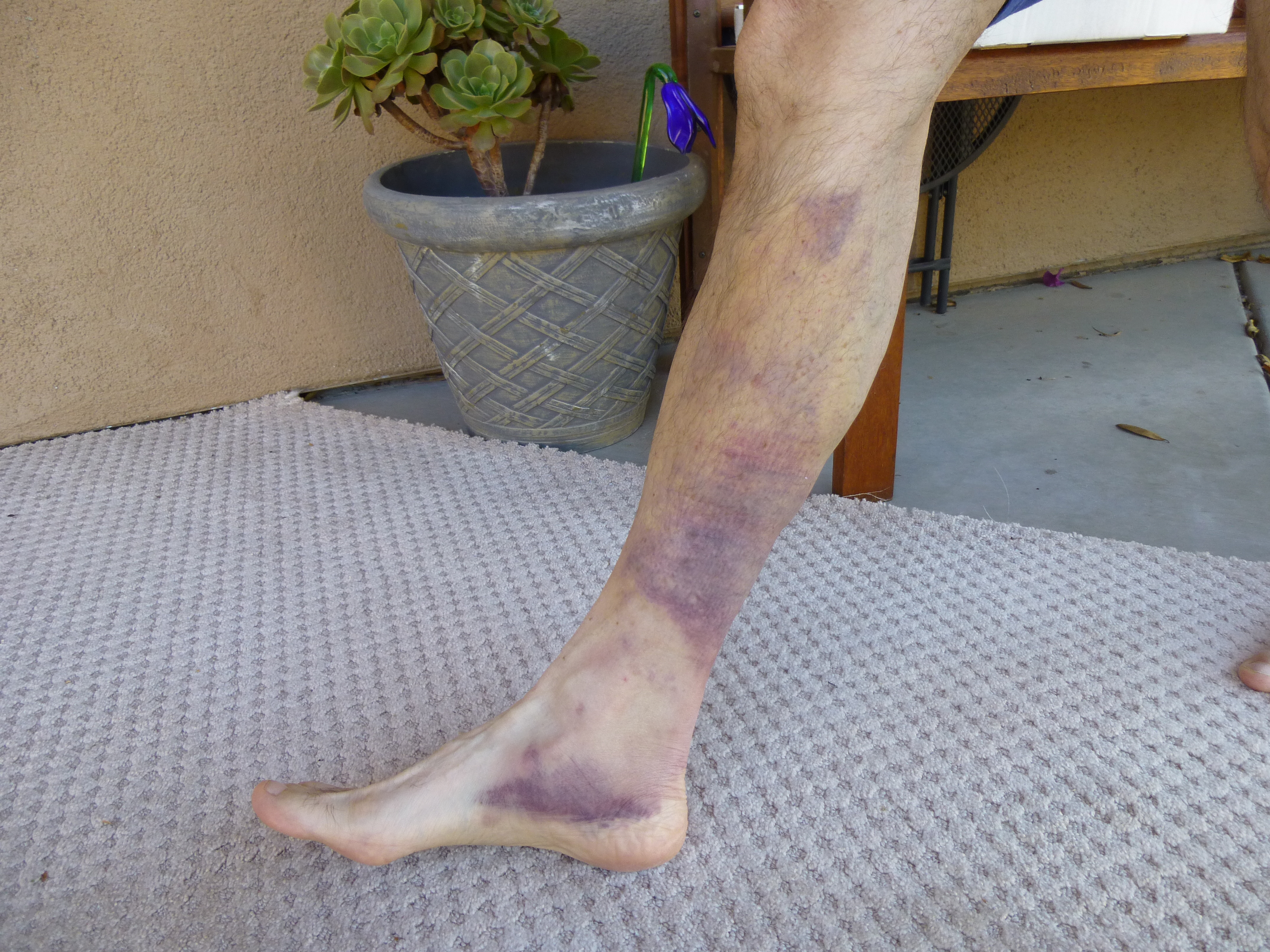
My leg 2 weeks later
Day 3
To make up for lost time, I awoke very early and drove back up Ryans Canyon in the dark. As dawn broke, I continued north through Cougar Canyon once again and finally over to an old corral to the west. By the time I parked and headed out on foot, it was already 7:35 AM and it felt hotter than hell. The weather was clear, and temperatures were well above normal every day – just my luck. I climbed Peak 2422 and then Saw Benchmark, both of which climbs are described in detail in the aforementioned piece called “Quail”. Four hours later, I was back at the truck.
Now for something completely different. I got into the truck and cranked the air conditioning to its maximum and started east, where I soon had this view of Dragons Tooth. This is an extreme telephoto shot looking northeast to the peak, about 10 miles distant. It’s hard to not be distracted by this peak.
Looking northeast to Dragons Tooth
A few miles more and I entered the extreme northwest corner of the Tohono O’odham Indian Reservation. The road through this area is deteriorating badly – it is never traveled any more, neither by the Border Patrol or the tribal members, and is almost impossible to find in places.
What’s left of the road.
After several sketchy miles, I arrived at the site of an old homestead and parked for a climb.
Looking up at the south side of Peak 2460
Jeez, it was 96 degrees at 2:30 in the afternoon when I set out from my truck, one of those days when you spend most of your time wiping sweat from your eyes. When I reached the top of Peak 2460, there was no sign that anyone had ever visited.
On the top
Here’s a look down to the old homestead from the top of Peak 2460. There’s not much there – an old corral, a water tank, what’s left of a well.
The old ranch.
By 3:30, I was back down and driving out. As I entered the bombing range once again, I found this shiny new sign.
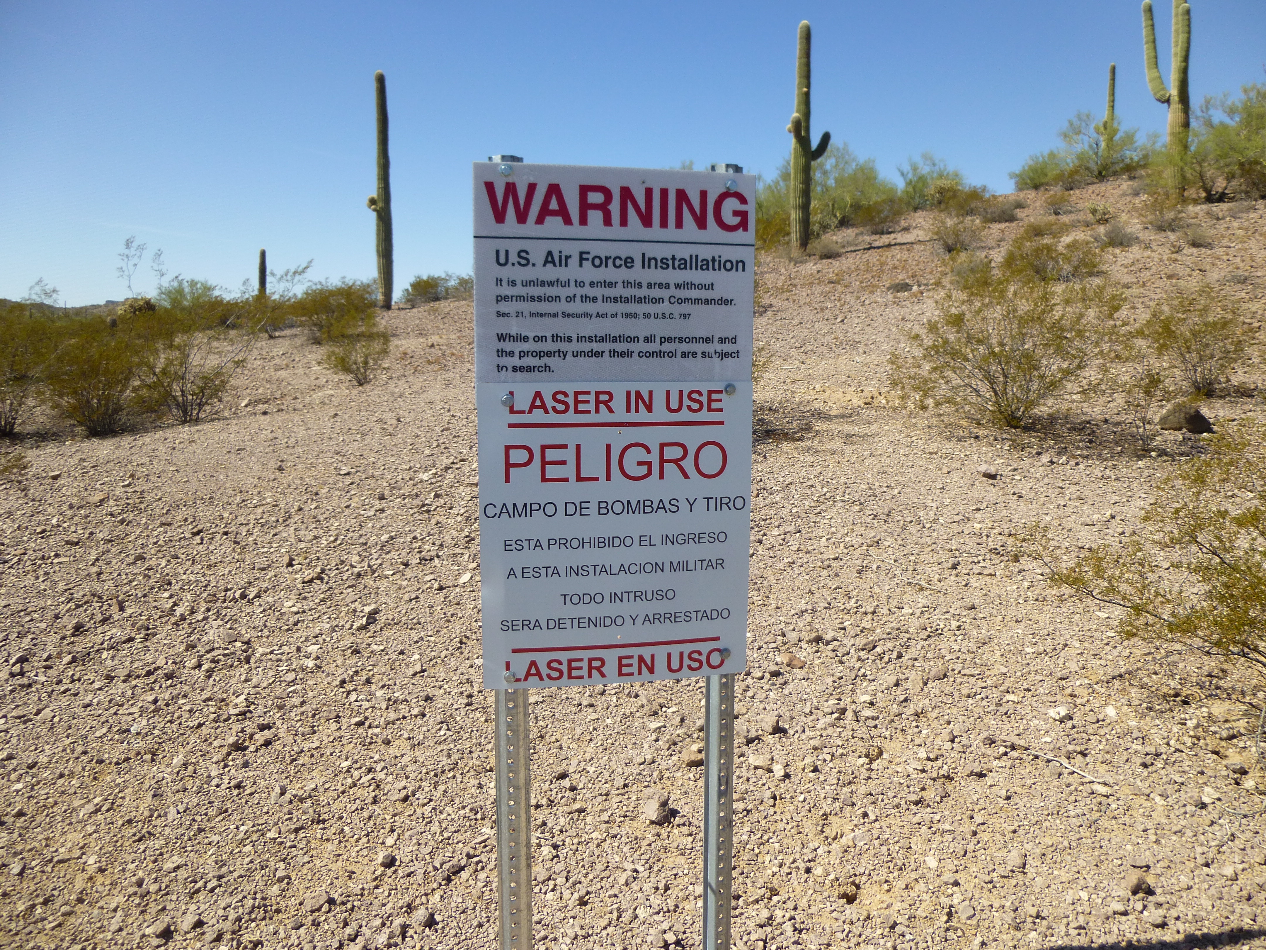
The brand-new sign.
Motoring on, I covered another 15 very rough miles, mostly to the south, to arrive at the upper reaches of Ryans Canyon. This was new territory for me, as I’d never ventured this far up the canyon in the 20 years I’d been visiting the area. By the time I got there, I had an hour of daylight remaining, and in that remaining light I made an interesting discovery. The remains of 3 old cars sat along the edge of the road. Why they were there together is anyone’s guess, but I think that many years ago, this old road must have been a back door into the Indian reservation. The 3 cars were: a 1950 Mercury; a 1947 Plymouth; a 1946 Hudson. Here’s a photo of the Hudson.
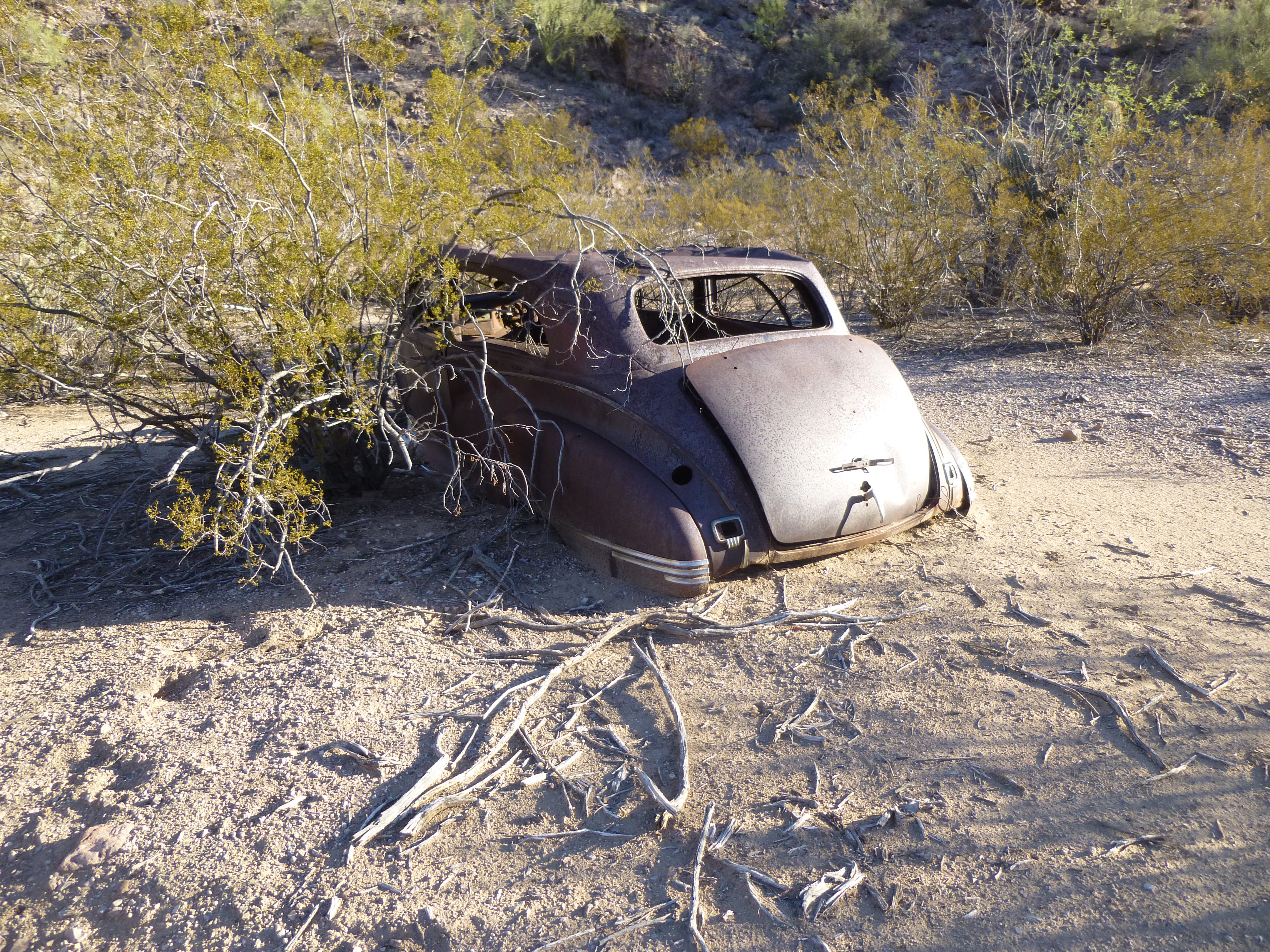
The 1946 Hudson
Day 4
After a good night’s sleep, I headed east from camp on foot at 6:00 AM, soon crossing into the reservation. I used a series of washes, crossed 2 small ridges and then finally up an obscure bump known to some as Stinson Peak. Why this thing had ever been given a name in the first place was beyond me, but I left a register anyway. This lonely little peak was way out there, far removed from anything else, but one thing it had going for it was the views. Here’s one looking southwest to Coffeepot Mountain, 4 miles distant.
Coffeepot Mountain from Stinson Peak
By the time I returned to my truck, 2 hours had passed and already it was getting warm. Just west of my campsite was an obscure road junction, and when I reached it I deliberated – should I take the road south, known as BLM Road 8101? I had avoided it for years, so was today the day I’d finally try it? Oh, what the hell, why not?
Well, the road was only 2 miles long but it felt much longer. There was some easy ground over a couple of saddles, but the real challenge were the 2 long uphill stretches – very rough, like driving up a pile of rocks. Definitely the road that time forgot, and not for the faint of heart. I was white-knuckling so much of the time that I completely forgot to take pictures. I breathed a huge sigh of relief when I pulled up to the gas pipeline road. From there, it was all downhill the next 11 miles to Burro Gap. However, the next 3 miles were – well, the best word I can come up with is – outrageous! Creeping downhill in 4WD, low range, 1st gear, I was still tossed all around the cab of my truck, swearing like a trooper. There’s not much left of that stretch of road, mostly bare rock for long stretches. I swear I’ll never drive it again, but then I always say that! There was only one more peak I had to do today, and here’s a glimpse of it peeking over some intervening ridges.
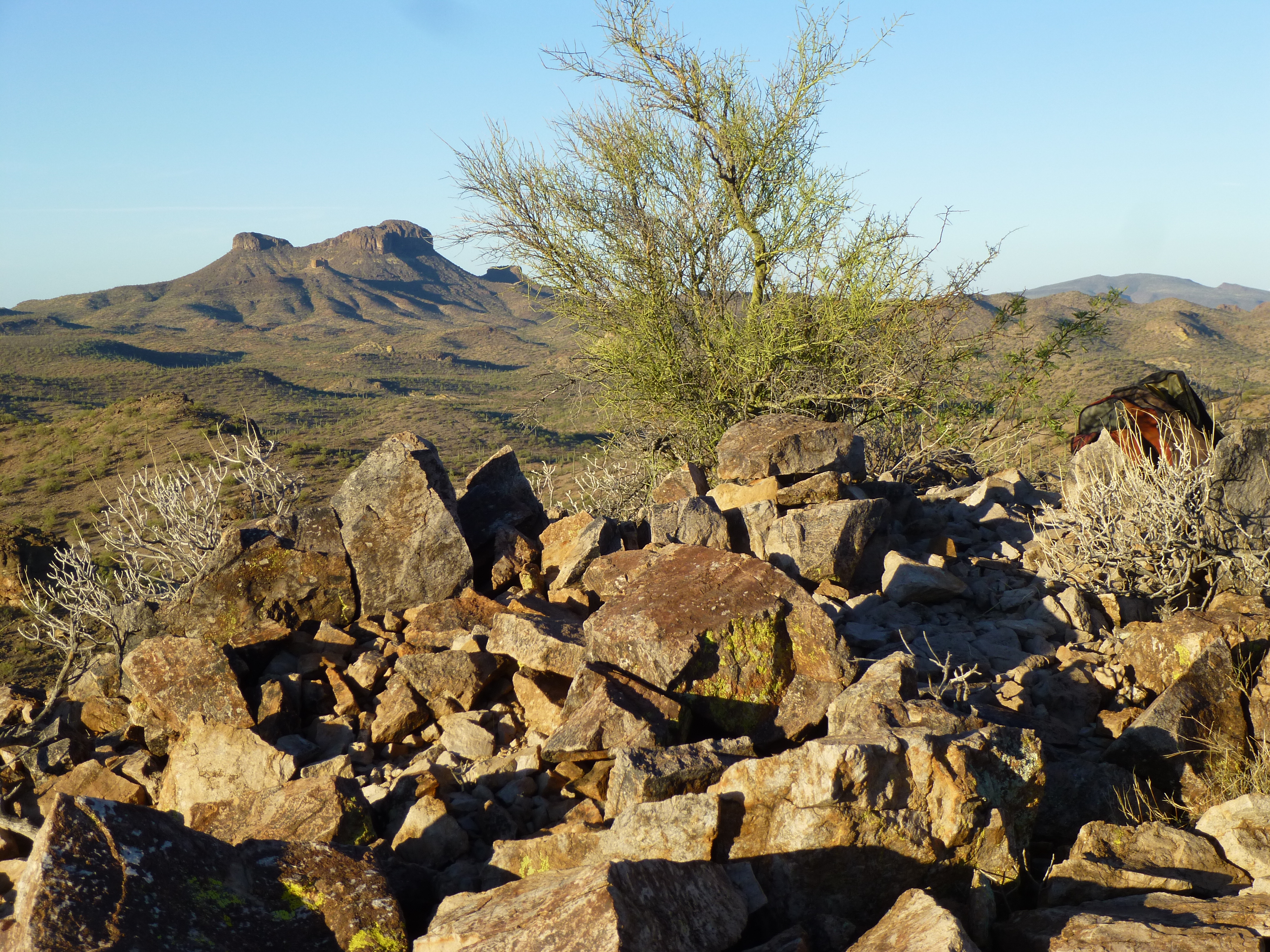
Peak 2782
Later in the morning, I parked and trekked into that peak, having some serious fun while climbing it. That story is called “Coffee” and is also written up on this website. By the time I was finished, it was hot, hot, hot. 3:30 PM saw me in the town of Ajo. During the past 4 days, I had driven 100 miles of dirt roads, most of it in 4WD, and hadn’t seen one other person. I thought that the adventures were over, that the rest of my trip would be boring by comparison, but I was about to be proven wrong, and how! I finished up Day 4 of the trip by camping in a favorite spot between 2 dramatic peaks east of Black Gap – there, I spent a restful night.
Please stay tuned for “The Week of Living Dangerously – Part 2”.