
More and more, it seems that when I go out climbing, things happen. Not the kind of things I want to happen, but things that happen anyway, things that give me pause. Maybe it’s just a function of living close to the border, I don’t know for sure, but whenever I climb in that stretch between the Mexican border and Interstate 8 (a distance of up to 75 miles), it seems like anything could happen. Take this past weekend, for example – I just wanted to go out and have a nice, boring time climbing a few peaks, with no drama for a change – I don’t think that’s asking too much, is it? And my wish came true – almost. Here’s what happened.
I finished work early on Friday and was motoring out of town before 2:00 PM. After 70 miles of freeway, I headed south on Indian Highway 42 and into the reservation. Another 18 miles brought me to my turn-off, a dirt road heading out into the desert. I was making good time, as it was only 3:15 – still plenty of time to get in a climb before dark. My goal – an obscure peak in the north end of the Vekol Mountains. It felt good to be back, as it had been almost 15 years since I’d scoured the area on a peakbagging jag in the summer heat. As I motored west and approached the peaks, memories flooded back. This was an interesting area with a lot of history, and I was looking forward to spending some time here.
The road was pretty decent, just a bit of high-clearance but nothing worse than that. Eight miles in, I was driving parallel to a big wash, a spot where the road was hemmed in with a lot of trees and brush. That’s where I saw him, a man walking along the road towards me – he was carrying one of those ubiquitous black Mexican water jugs, the kind I can see any day of the week out in the desert. I only got a quick glimpse of him – he no doubt heard me coming, and the moment he saw me he hurried into the vegetation on the north side of the road. I slowed to a crawl, keeping a sharp eye out for him and any others who might be with him, but he was nowhere to be seen. That’s the only way those guys can ever make it all the way to Interstate 8 (Ocho), their usual pick-up point, by being extremely stealthy. Actually, I’m surprised he even allowed himself to be seen at all.
These guys (I label them all “Bad Guys”, whether they’re simply border-crossers heading for the Promised Land, or scum working for the cartels, shepherding indocumentados or drugs into the country) have learned where all the possible water-sources are to be found along their journey north. That usually gets them by, but sometimes their luck runs out – an injury, dry waterholes or mayhem could do them in. The bolder ones try to make it on their own, but usually they’re in groups. At least they start that way, but the weaker ones get winnowed out and end up dying or getting arrested along the way.
So anyway, once I saw this guy, I was really on my guard. The fact that he was walking the road made me think he was heading to another waterhole about 2 miles to the east, assuming he even knew about it. My immediate goal was to drive into Bitter Well Wash – I found my entry point a hundred yards later. I saw right away that others had driven the wash, no doubt Border Patrol – that was a good sign. I locked my hubs and put it into low range 4WD and gave it gas. This wash was all sand and gravel, and it was plenty deep, to judge by the wheel ruts before me – not the kind of place you wanted to slow down and enjoy the scenery. I drove like hell for a mile, finally stopping at a spot where the sand looked firmer.
I got out and put on my boots. This was a perfect starting-point for my climb, but it was also a perfect spot for Bad Guys to pass through this valley. Just east of me, mountain ridges pinched it off into a narrow gap, not much over a hundred feet wide, and anybody walking through here would have to walk right past my truck. I left it unlocked and set out.
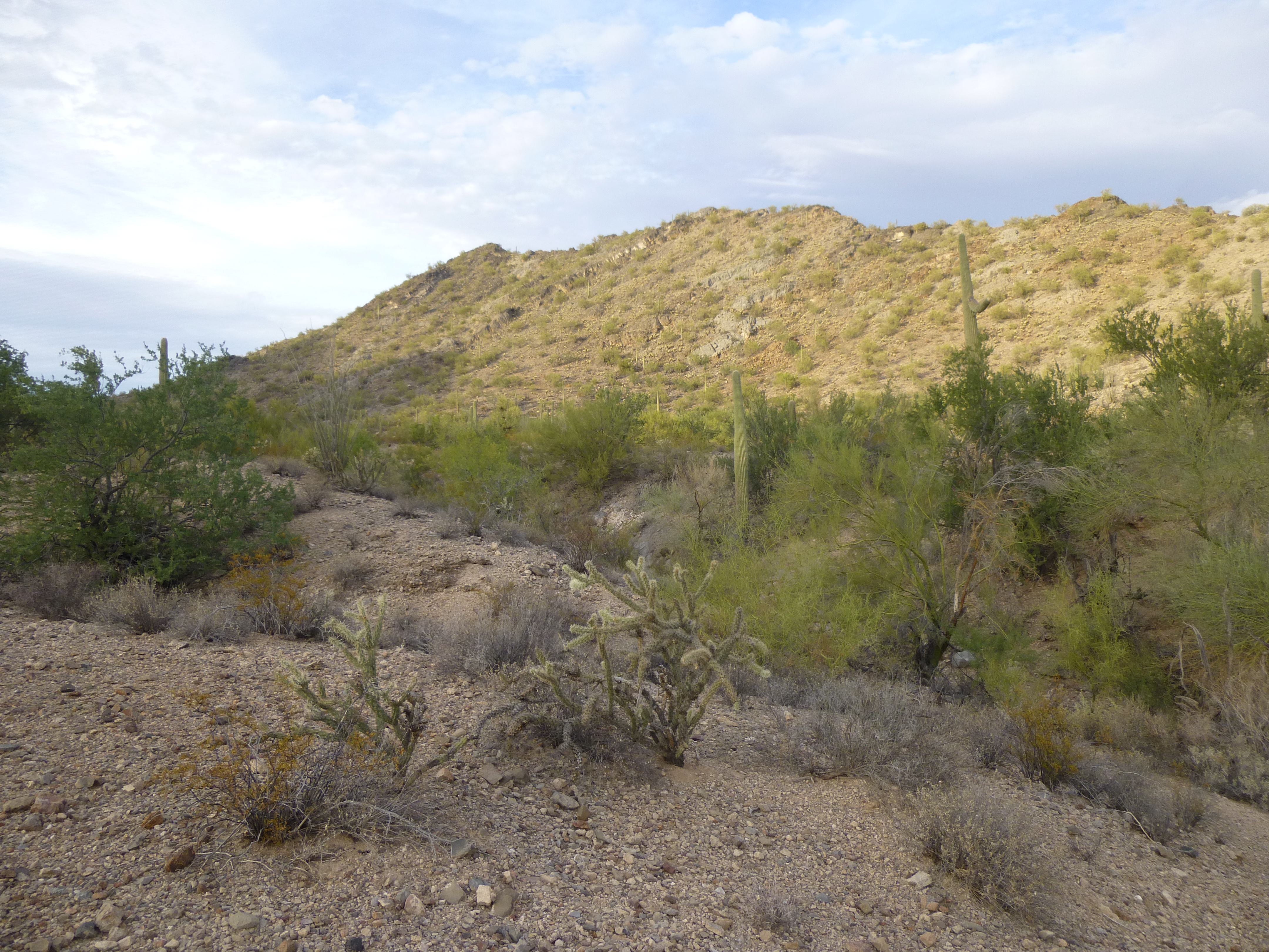
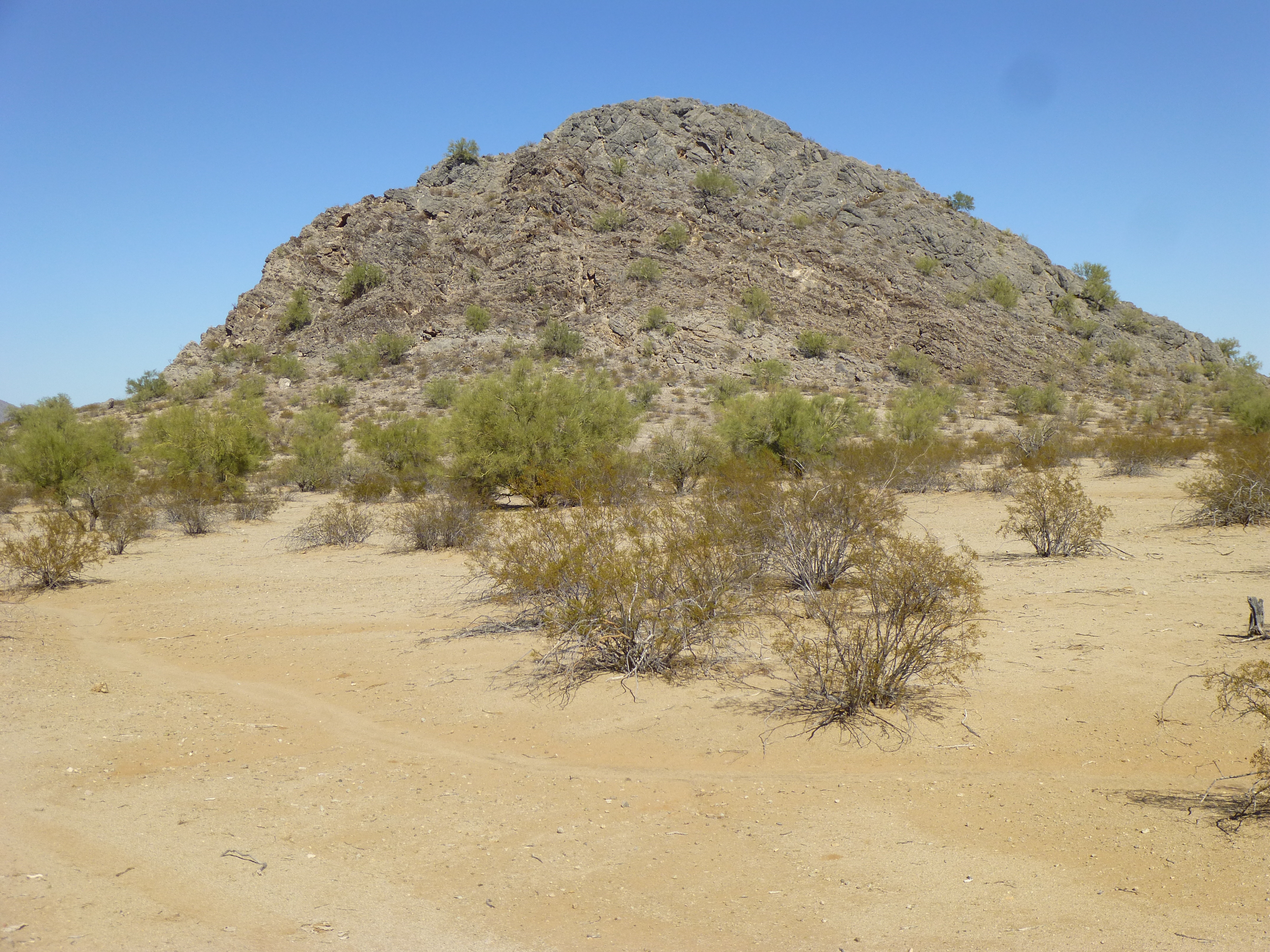
The west side of Peak 2342
I had to really hustle on this one – my valley to the north was already in shadow. As I climbed, I was pleased to see so many elephant trees (Bursera microphylla) growing on the limestone slope.
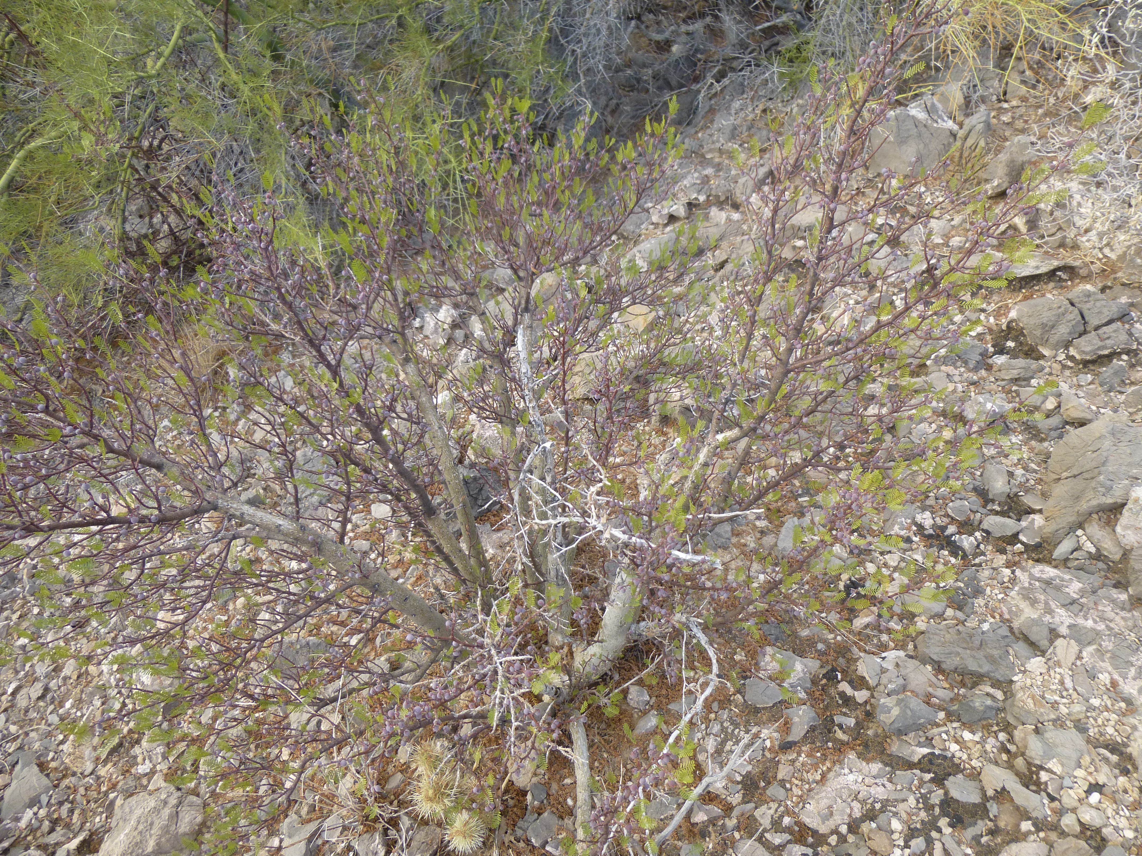
A small elephant tree
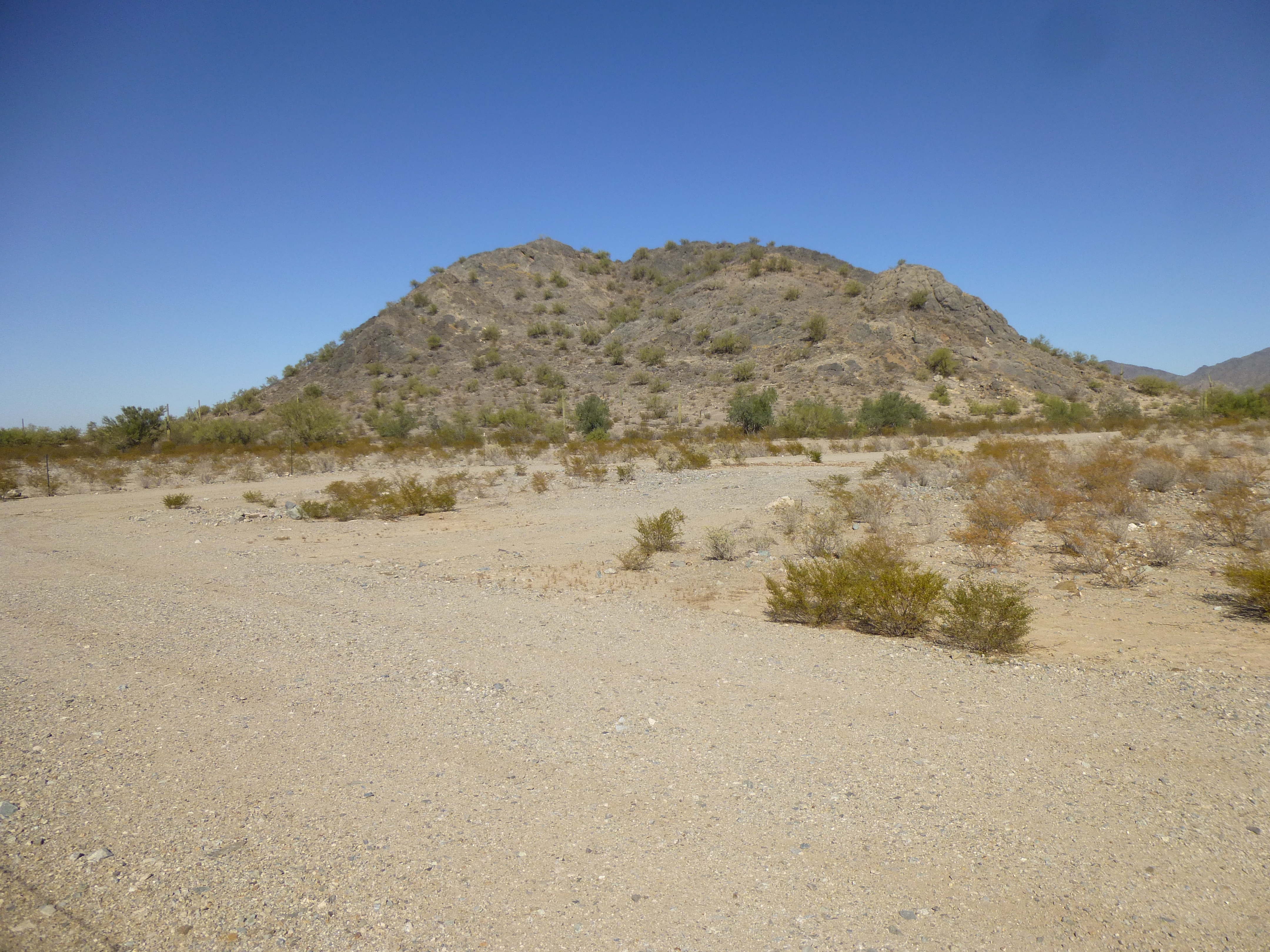
The higher I went, the windier it became, so by the time I reached the summit of Peak 2342 I really had to hang on to my hat.
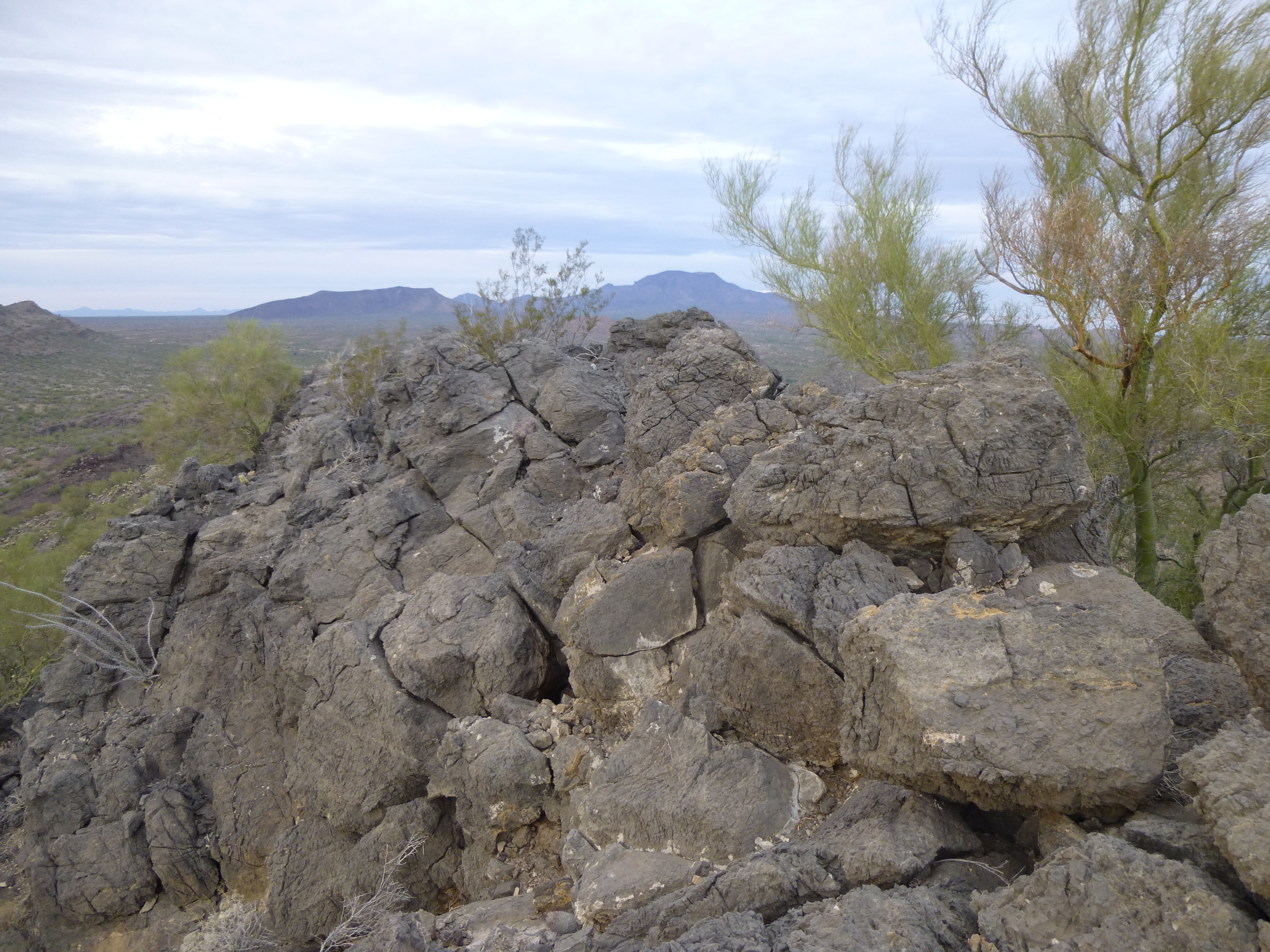
The top of Peak 2342, with Table Top in the distance
No sign of anyone ever having been there, nothing – I built a cairn and left a register, took the requisite photos, and was back down at the truck in under an hour, round-trip. Here’s a look down to where the truck is parked – see the tiny white dot right in the middle of the photo? It’s at the bottom end of the white stripe, which is Bitter Well Wash.
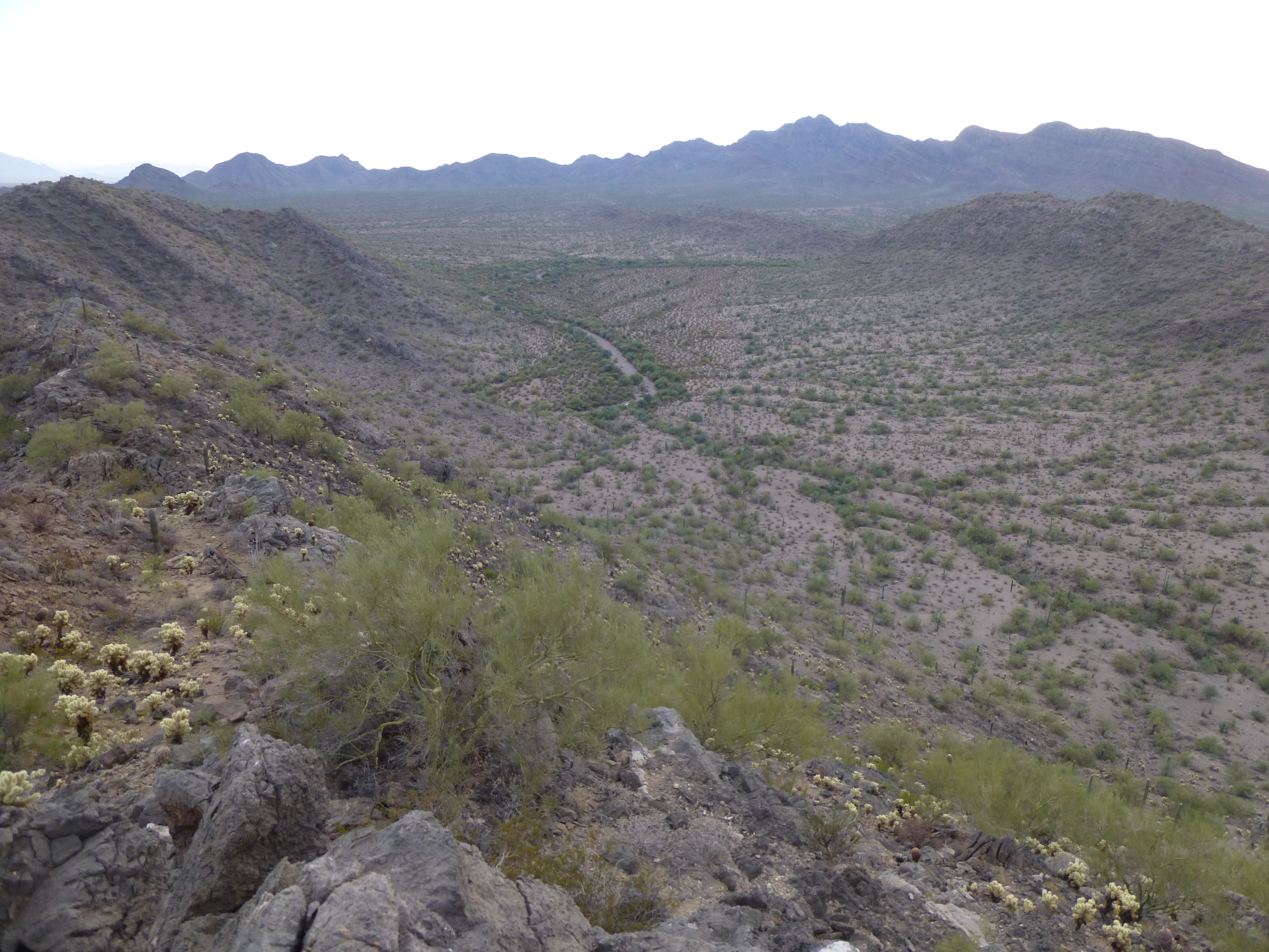
Looking down to the truck
As I approached the truck, the sun was setting behind nearby peaks.
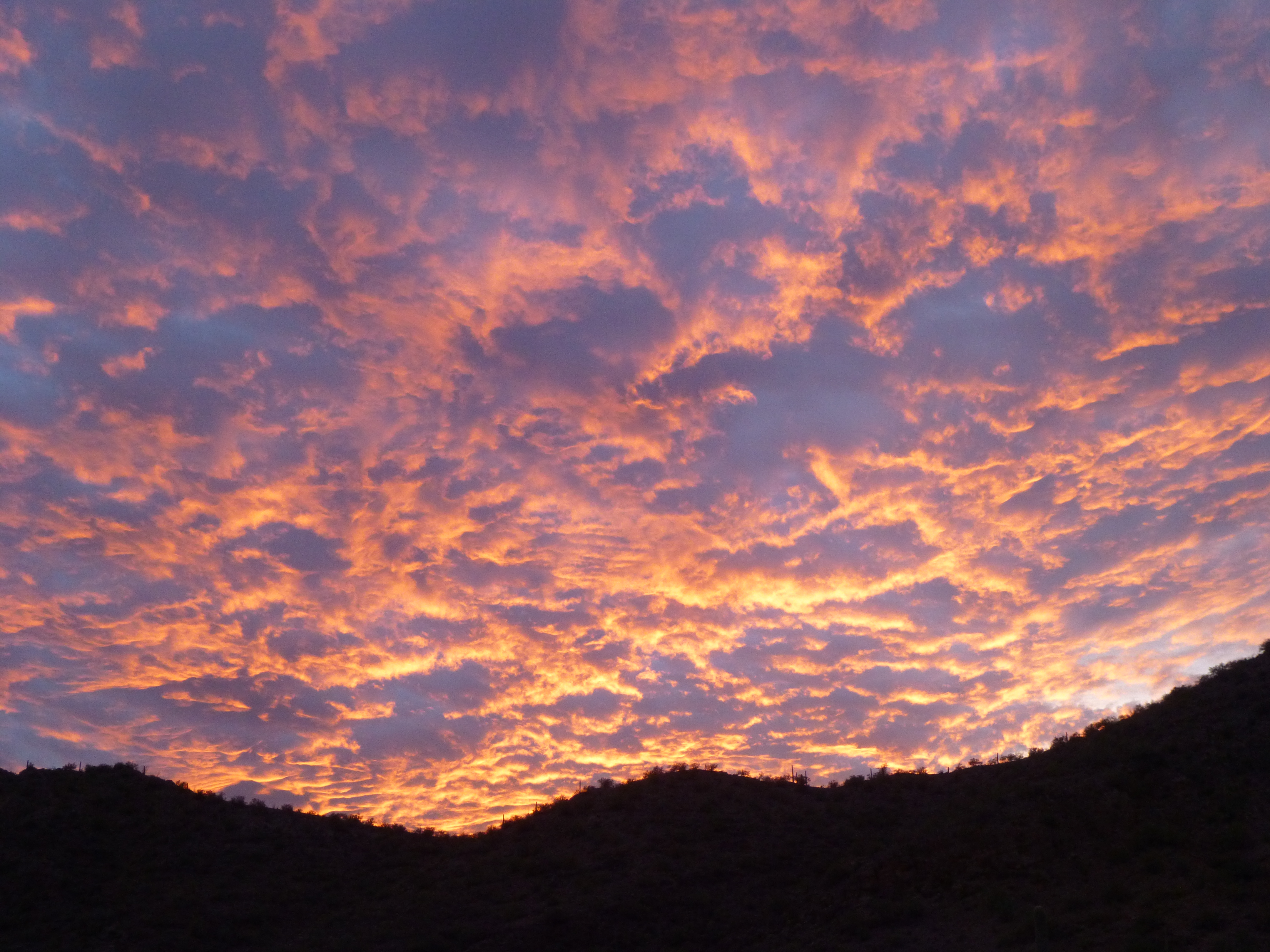
Sunset
I churned my way back up the wash even faster than my trip in, and before I knew it had re-joined the road. Continuing west, ten minutes later I reached my destination, my stopping-place for the night. I was at the site of an abandoned settlement shown as Sif Vaya on the topographic map (more correctly known as Siw Wawhia in the O’odham language), or Bitter Well in English. I wanted to learn more about this place, but as it was nearly dark, that’d have to wait until morning. I drove a bit farther west to a nice flat spot out in the desert and called it a day. My evening was like most others, camping in the desert – I cooked a meal, sat in the cab of the truck reading and listening to quiet music. Finally, at around 9:00 PM I turned in.
My pickup has a simple fiberglass shell mounted over the bed – it’s enough to lay out a sleeping bag and stay out of the elements. That was the case this evening as I lay there reading my Kindle. It was very quiet, with the occasional coyote singing – the rear hatch was open, as it was pleasantly warm. The desert is one of the quietest places you can imagine, so any sound is immediately noticeable, especially if it’s out of the ordinary.
At first, it was very faint, just at the edge of hearing, then grew louder by degrees. It took me a little while to identify it, but I did – a helicopter. I think it was a mile or two away, and I could tell by the way the sound varied that it was circling, and at times hovering. There was no doubt that it was either military or Border Patrol, probably the latter. Bad Guys were afoot. Not likely just one, and probably several. They may have tripped a sensor, or perhaps had been spotted earlier in the daylight – either way, BP was all over them like a cheap suit – with the infrared technology on board the chopper, they could run but they couldn’t hide.
At times, it sounded like it was coming nearer, and when it did, I’d pull my feet inside the camper shell to be less visible, even though my truck would be rather obvious. Although I heard it for a good 30 minutes, maybe 40, it never did fly over to my location, and it finally receded into the distance. I was half-expecting that some BP vehicles might come by on their way to the scene, but all was quiet the rest of the night. I finally fell asleep, wondering about the whole incident. During the night, I had an incredibly vivid dream.
I heard a noise – I turned on my climber’s headlamp and looked outside, and saw several men approaching my truck – there was malice written all over their faces. It was obvious they were Bad Guys. Leaping out of the truck, I tried to gather up my camping stuff and throw it back into the truck, but realized there was no time for that. Scrambling for the cab, I pulled the door closed after me, then started up the engine and put it into gear. I pushed the accelerator to the floor and sped off into the night, but there was something wrong – the windshield was all streaked with something, and the wipers couldn’t wipe it off, so I was almost driving blind. I was dodging trees and saguaros, trying not to crash into something and kill myself, trying to stay on the rough dirt road. Miraculously, I kept on going and ended up in a Mexican town, where I tried in vain to get someone to help me, to hide me from the Bad Guys. Nobody seemed willing, and I was freaking out, knowing they were right behind me.
Then I woke up in a panic, and realized it had all been a terrible dream. Damn, I was SO relieved that none of it was real – I rolled over and fell back into a fitful sleep for the rest of the night. My alarm woke me an hour before dawn, and even then I was amazed at the vividness of my dream – I must have had Bad Guys on my mind.
After some breakfast, I spent a while looking around what had once been Sif Vaya. There was an abandoned house of recent vintage, which had never had electricity or running water. A propane tank sat outside, which had been the fuel supply for an old refrigerator. A Dodge sat rusting nearby.
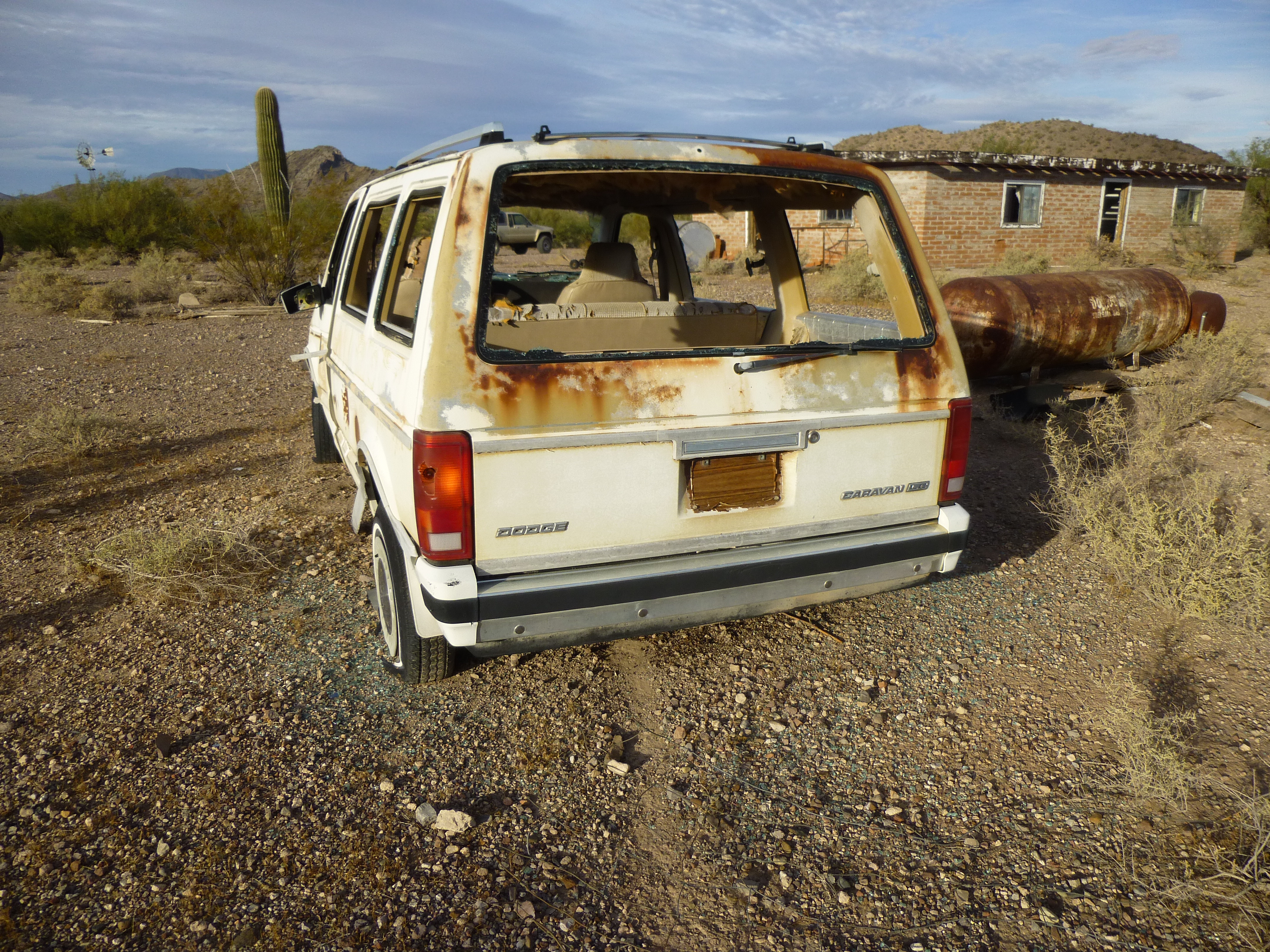
Dodge, tank and house
The raison d’être for any settlement ever having been here was the well itself. It stood a hundred yards away from the house, its old windmill still pumping whenever the wind blew. Water was pumped up from the ground and into a beautiful old masonry tank, and from there into a concrete trough. Animals could still drink there, as well as any Bad Guys who passed by, such as the fellow I’d met on the road last evening – they could quench their thirst and take some for the road.
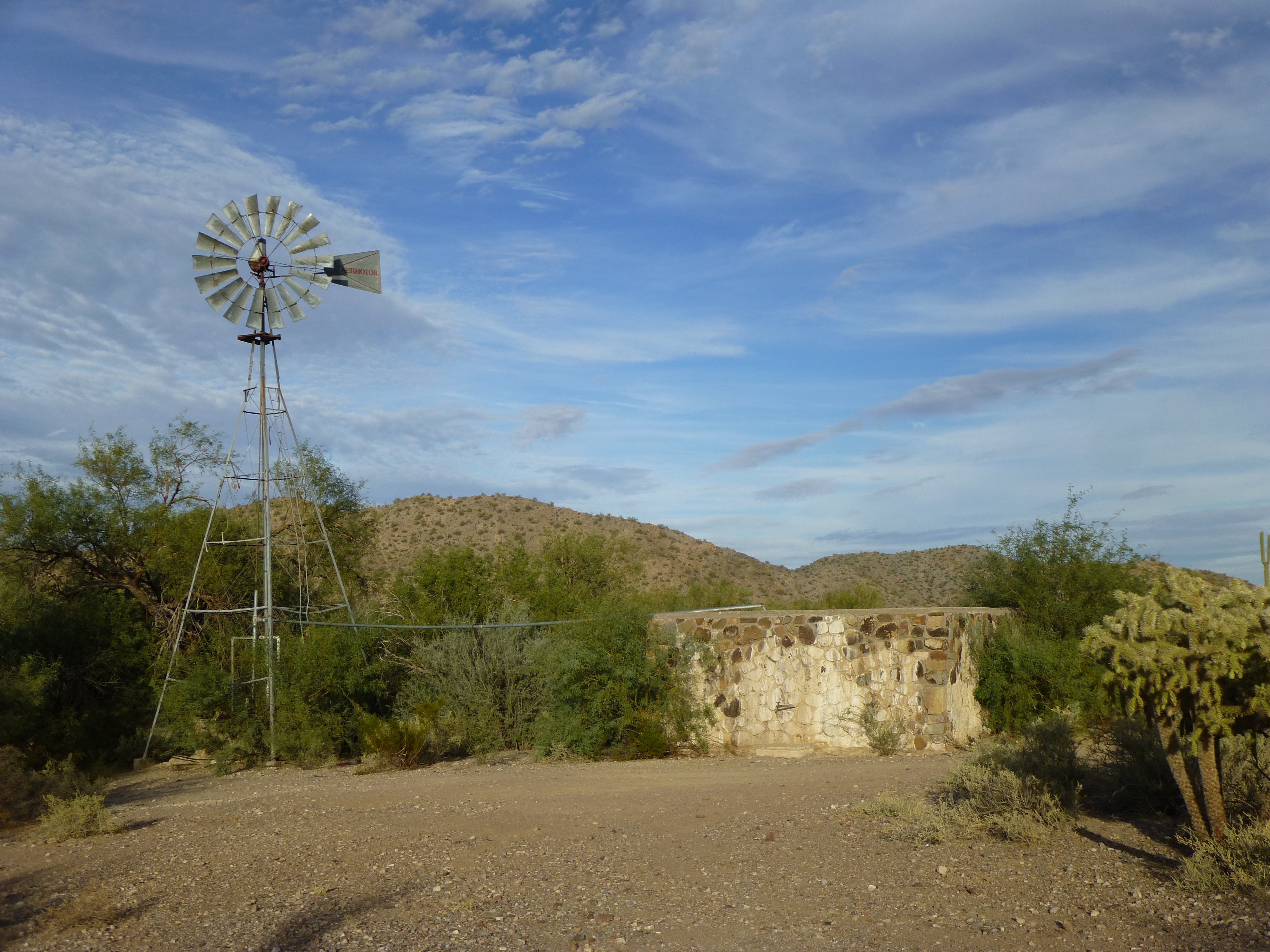
Aermotor windmill and masonry tank
A few hundred yards away, to the north across the wash, the old road continued, and beside it were the scant remains of what had been, many years ago, the site of the settlement of Sif Vaya. The only signs that remained were a few weathered boards.
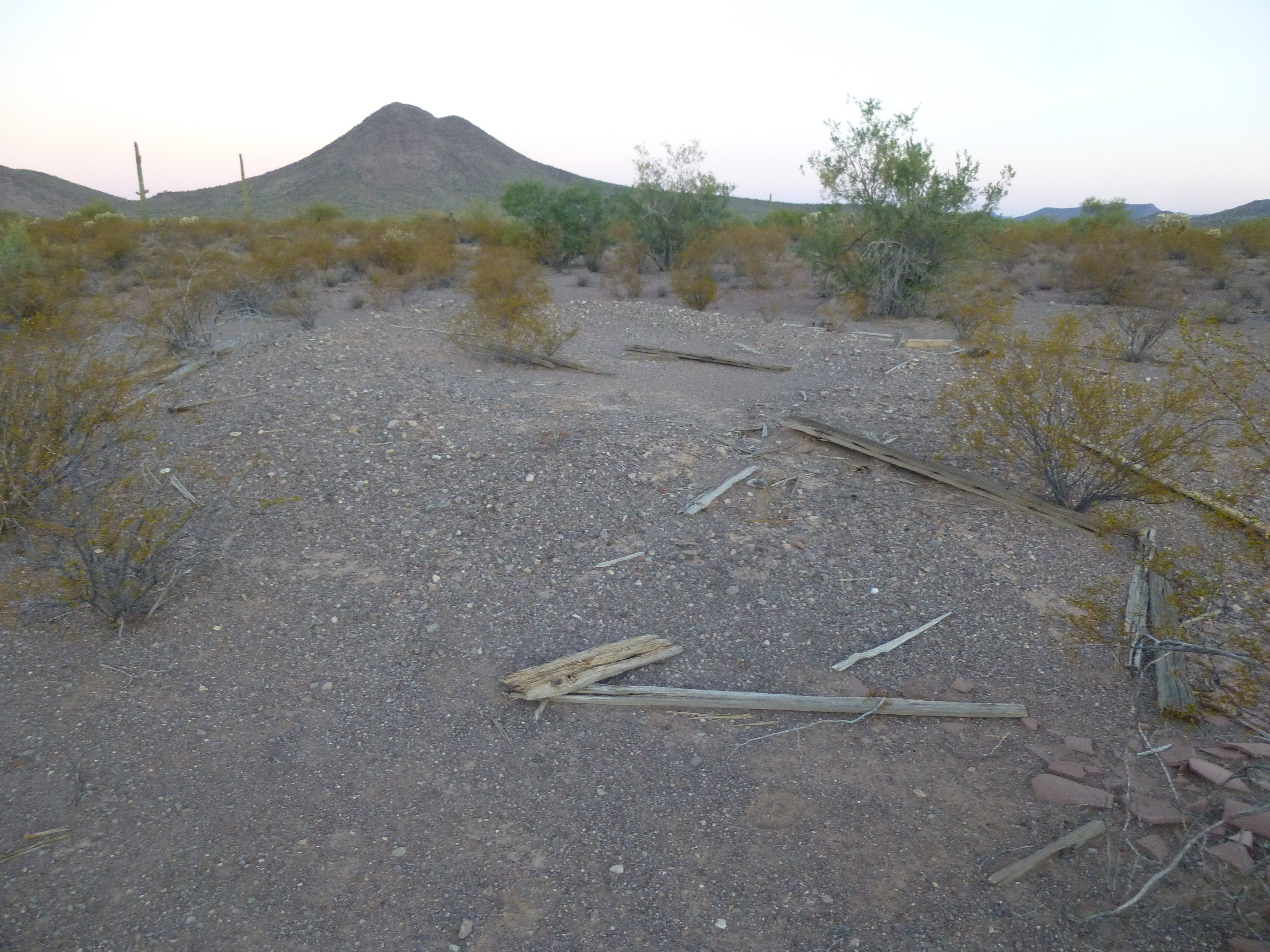
What’s left of Sif Vaya
And, curiously, this old remnant of a life once spent here.
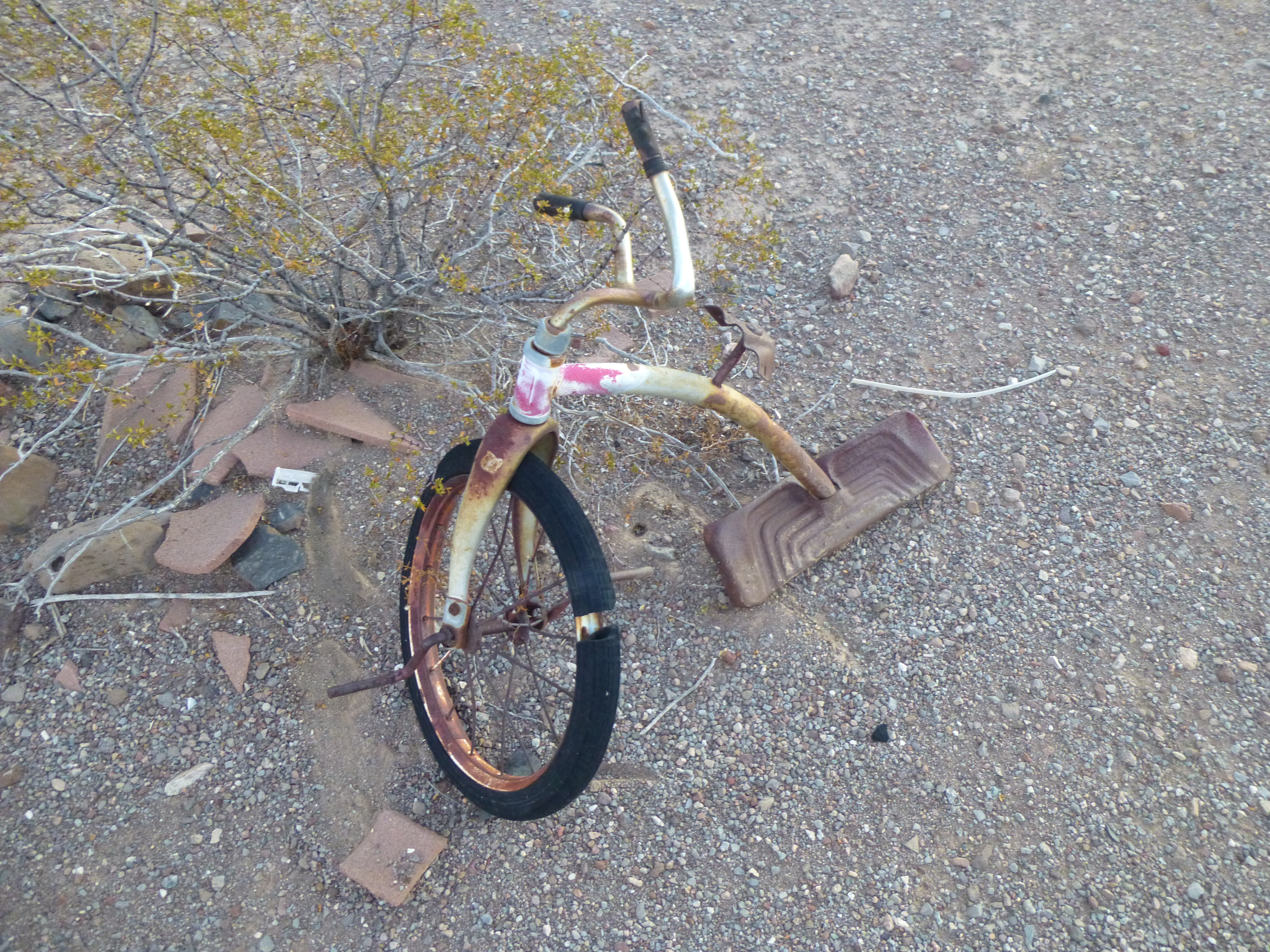
A child was here
A mere 2 miles to the northwest sat a substantial peak known as Bitter Benchmark, rising a thousand feet above this place that had once harbored life.
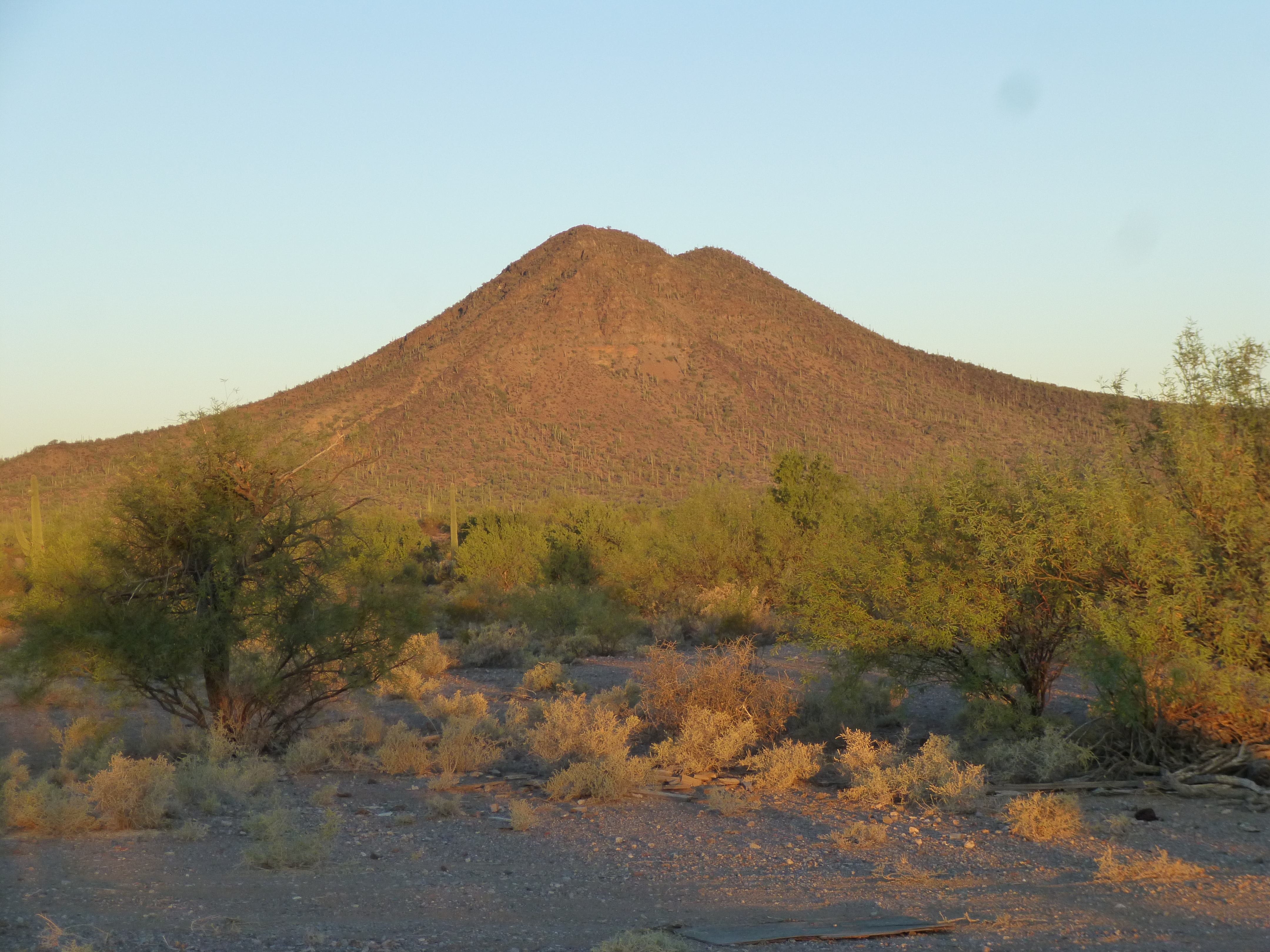
Bitter Benchmark 2,924′
So the name Bitter had been applied to the well itself, the settlement and the major wash that passed by, in addition to the nearby peak overlooking it all. Curious as I was, I never did try the water to see if it had a bitter taste – that surely wouldn’t matter to any humans or animals out here, though.
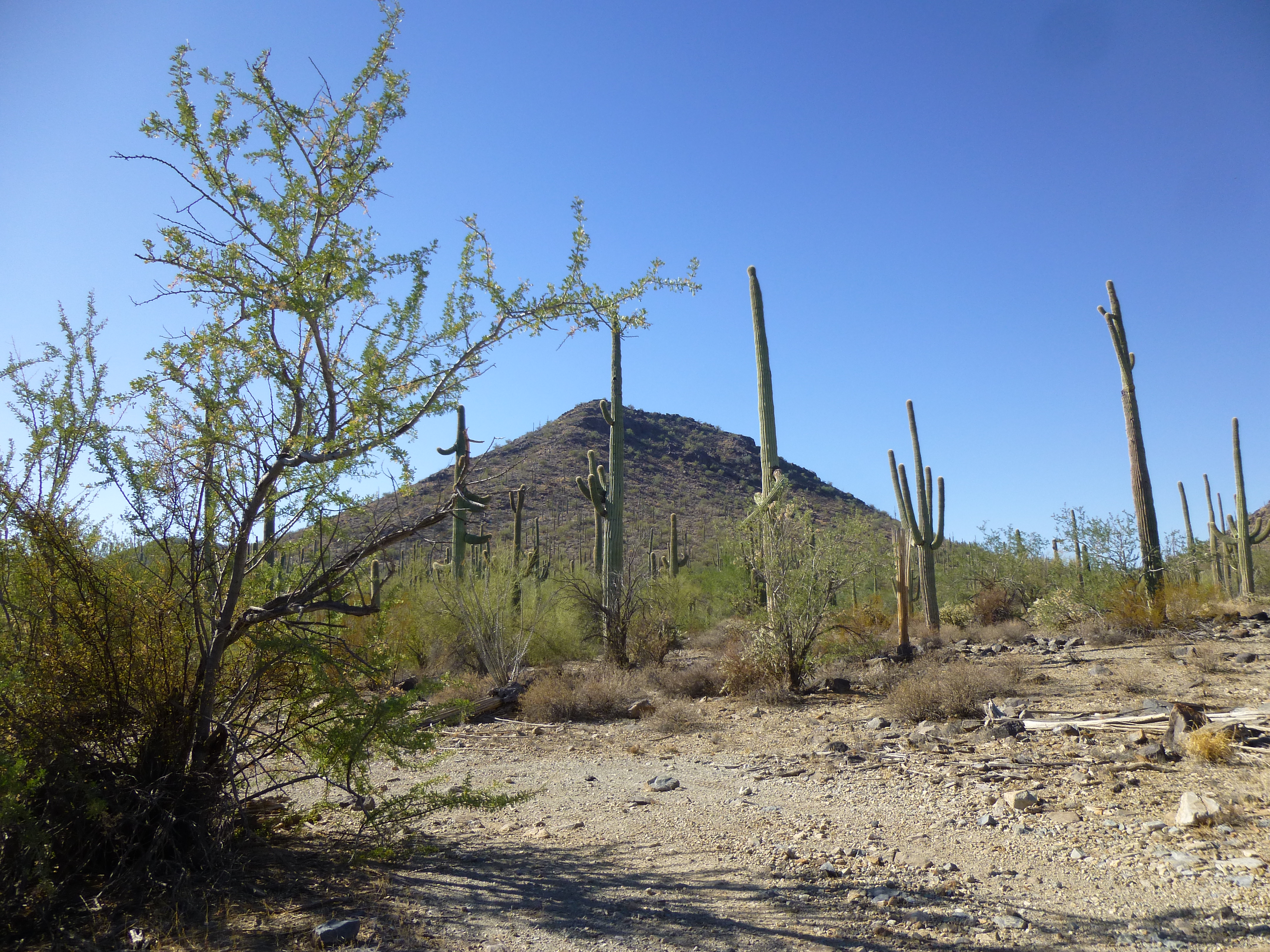
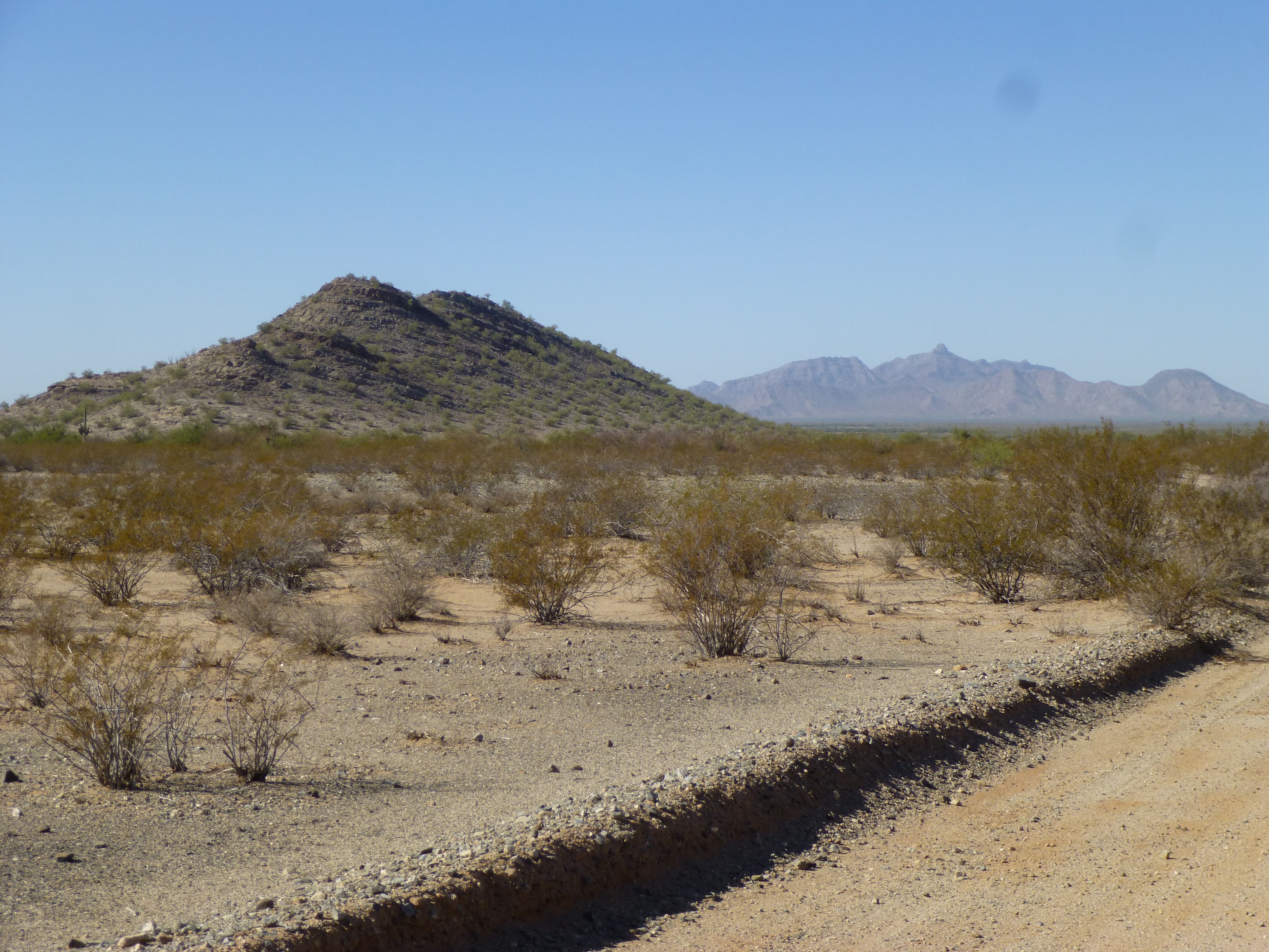
All of this sits at the northern end of the Vekol Mountains, a striking range of 18 peaks. The highest parts of the range can be seen to advantage from Sif Vaya. Here, the range high point rises over 1,600 feet above us.
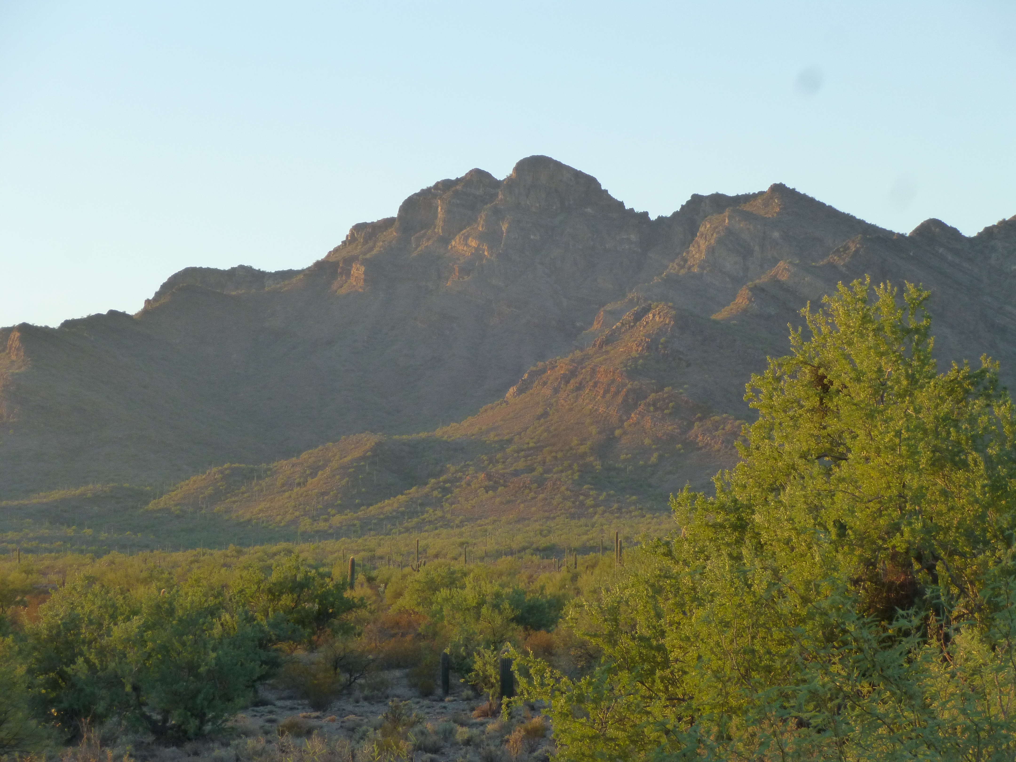
Peak 3609, the high point of the Vekol Mountains, due south of me
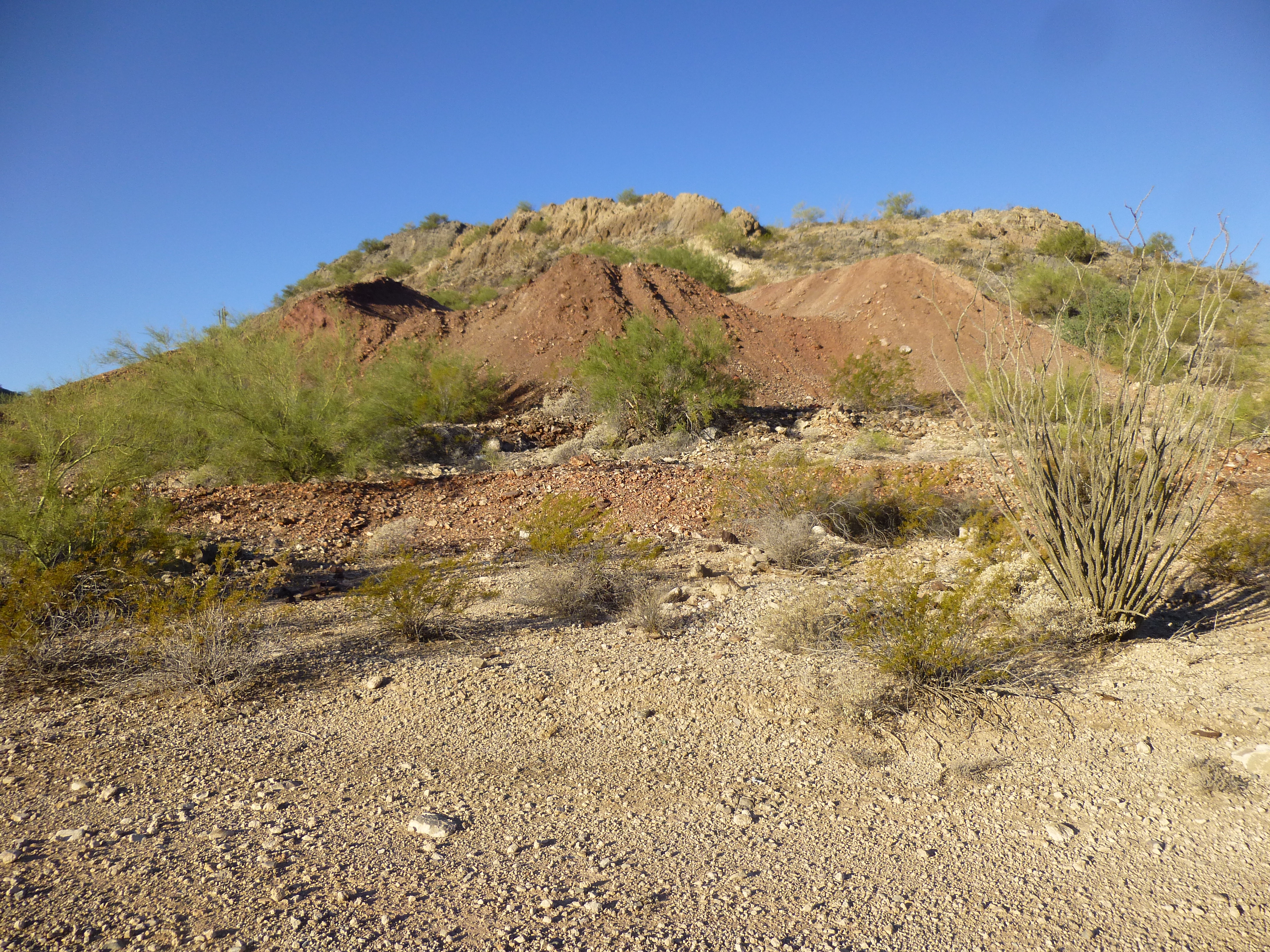
I’d made my pilgrimage to this site and it was time to move on. An easy drive took me east to the edge of the range where I wanted to visit a couple of old mines. The first one had the curious name of “Christmas Gift Mine”. This is all I saw when I first drove up.
Christmas Gift Mine
I walked around and discovered 11 shafts – a few were shallow, but most of them were deep and scary like this one – God help you if you fall into one of these. None were fenced, all sat open to the sky.
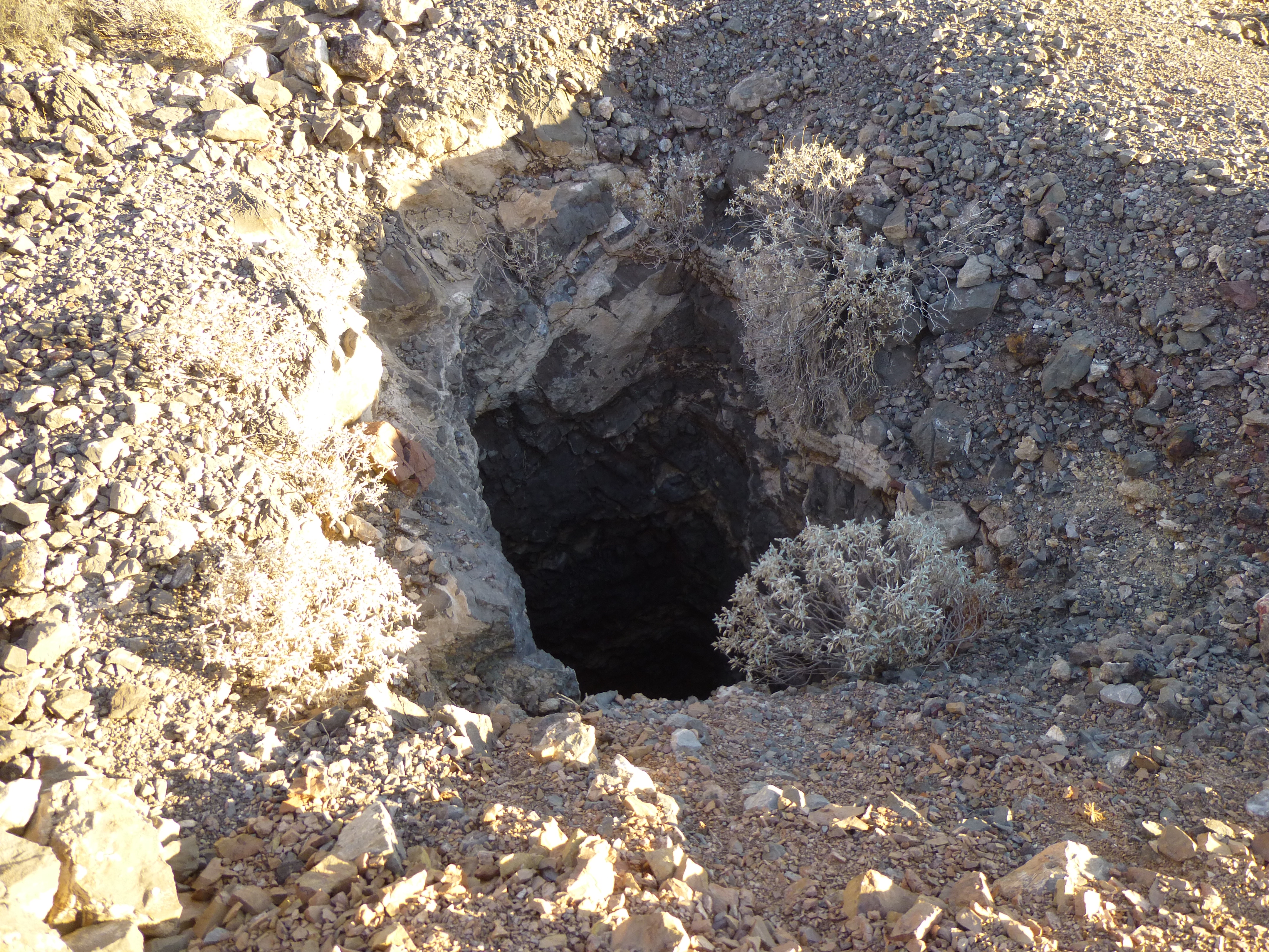
Mine shaft
State records show that mining activity started here in 1927. The primary commodity here was gold, and secondary ones were copper, lead and silver.
A mere half-mile to the south sat the Reward Mine. This one was more extensive, and I only spent a short time there. Records show that it was discovered in 1879, and was sporadically in production from 1885 to 1960. Copper was the main commodity produced, with lesser values of gold, lead, zinc and silver. This is typical of what I saw.
At the Reward Mine
I had one more stop to make today, but it was some distance away. I left the mine and drove about 4 miles back out to the highway, then another 13 on pavement, ending up at the village of North Komelik. This place is Ge Komlik in the O’odham language, meaning “Big Flats”. The village also happens to be the district office of the Sif Oidag District, or Siw Oithag Chekshani which means “Bitter Field District”.
All was quiet on this Saturday morning as I drove along the south side of the community and then out into the desert. It was southeast for a while, passing along the edge of the dormant Cyprus Tohono Mine, then east and south for a total of 10 miles of dirt road. In places, the dirt was so fine it was like driving on talcum powder (needed 4WD) and in others so vague I was constantly checking my GPS to verify I was still on track. It took over an hour to cover those miles, but I finally arrived at my destination, Peak 2544, in the northeast corner of the Santa Rosa Mountains. Close to the truck, I found a backpack, a cast-off from some border-crosser. He or she was a long way from any water out here.
Peak 2544, the northeast side.
It was an easy climb up to the top, where no sign of any previous visit greeted me. I built a cairn and left inside it a glass jar as a register. Here’s a view looking back down to my truck – see it? There’s a whole lot of empty desert out there, with just the faint old road that I drove to get here.
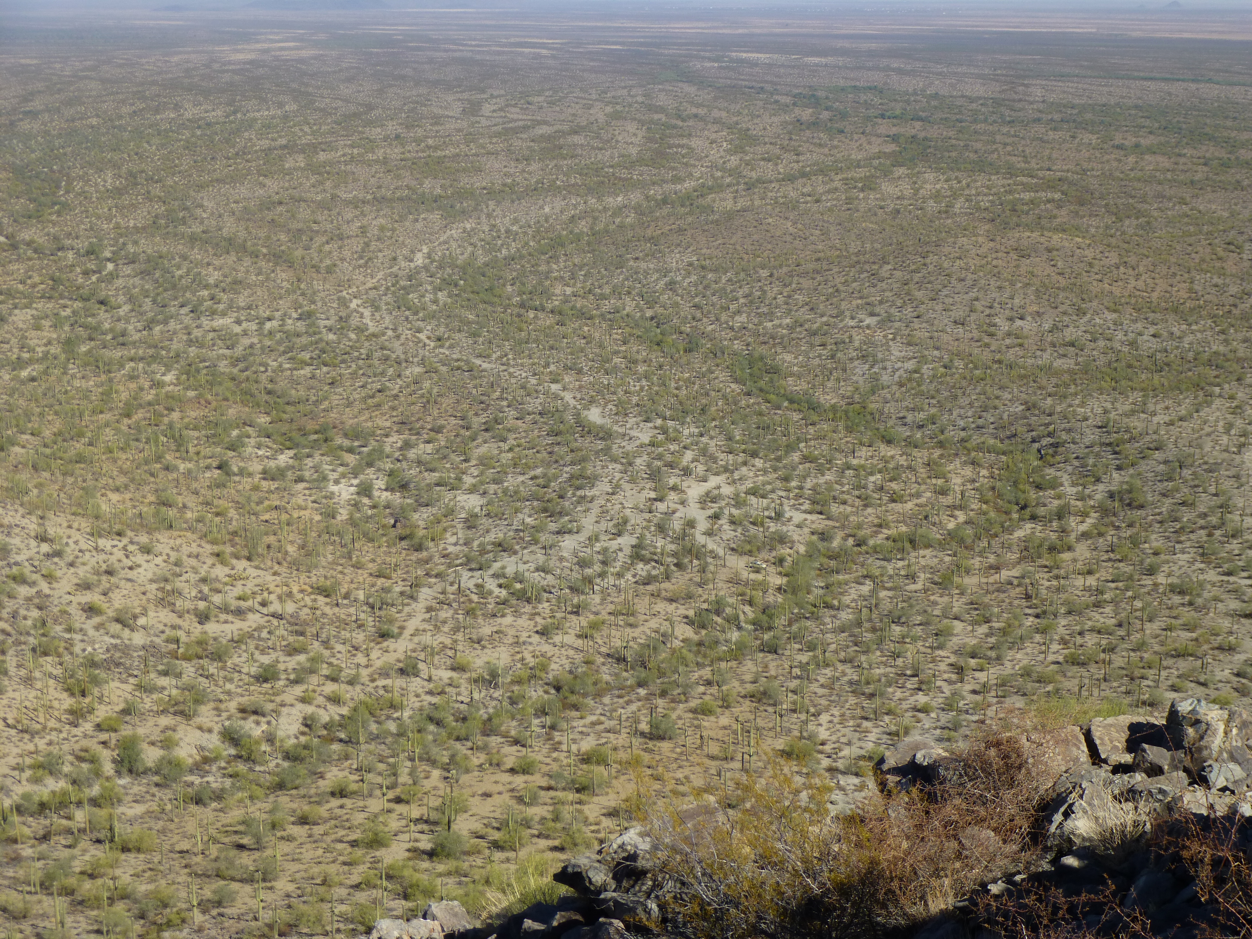
The big empty desert.
It was a perfect day – I sat and enjoyed it for a while before heading back down to the truck. Since I could follow my own tire tracks on the way out, the return trip was easier. There are a few peaks near North Komelik which are well-known to locals – I passed them on my trip back out to the highway. This one is called Stone Peak.
Stone Peak
Another one I passed right by is this one – I love the name, Owls Nest Peak.
Owls Nest Peak
And one more, Komelik Mountain, hard by the village itself.
Komelik Mountain, from the east
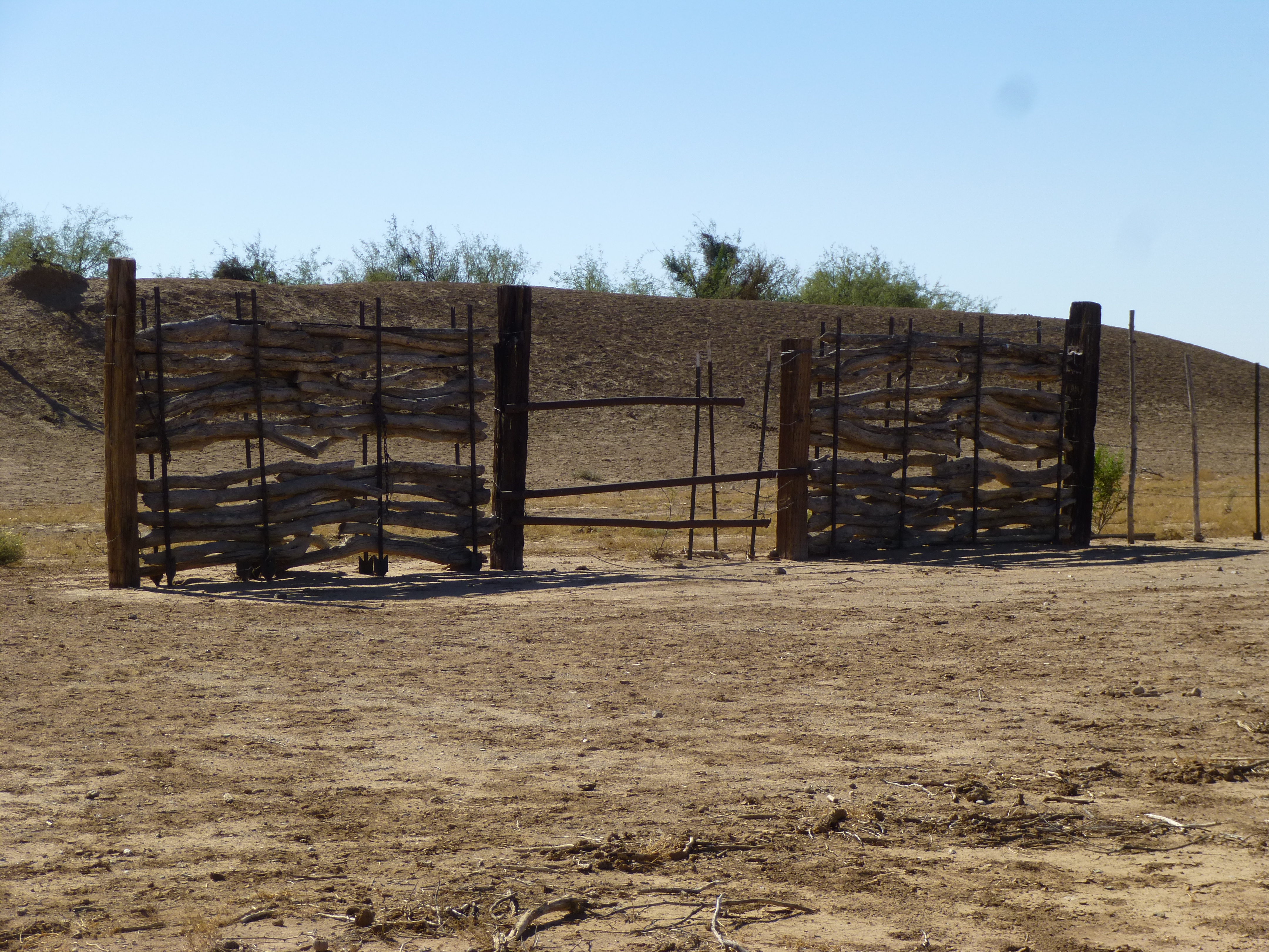
One last thing I’d like to share – a couple of photos of the creative use of wood for gates and fences that I saw this day.
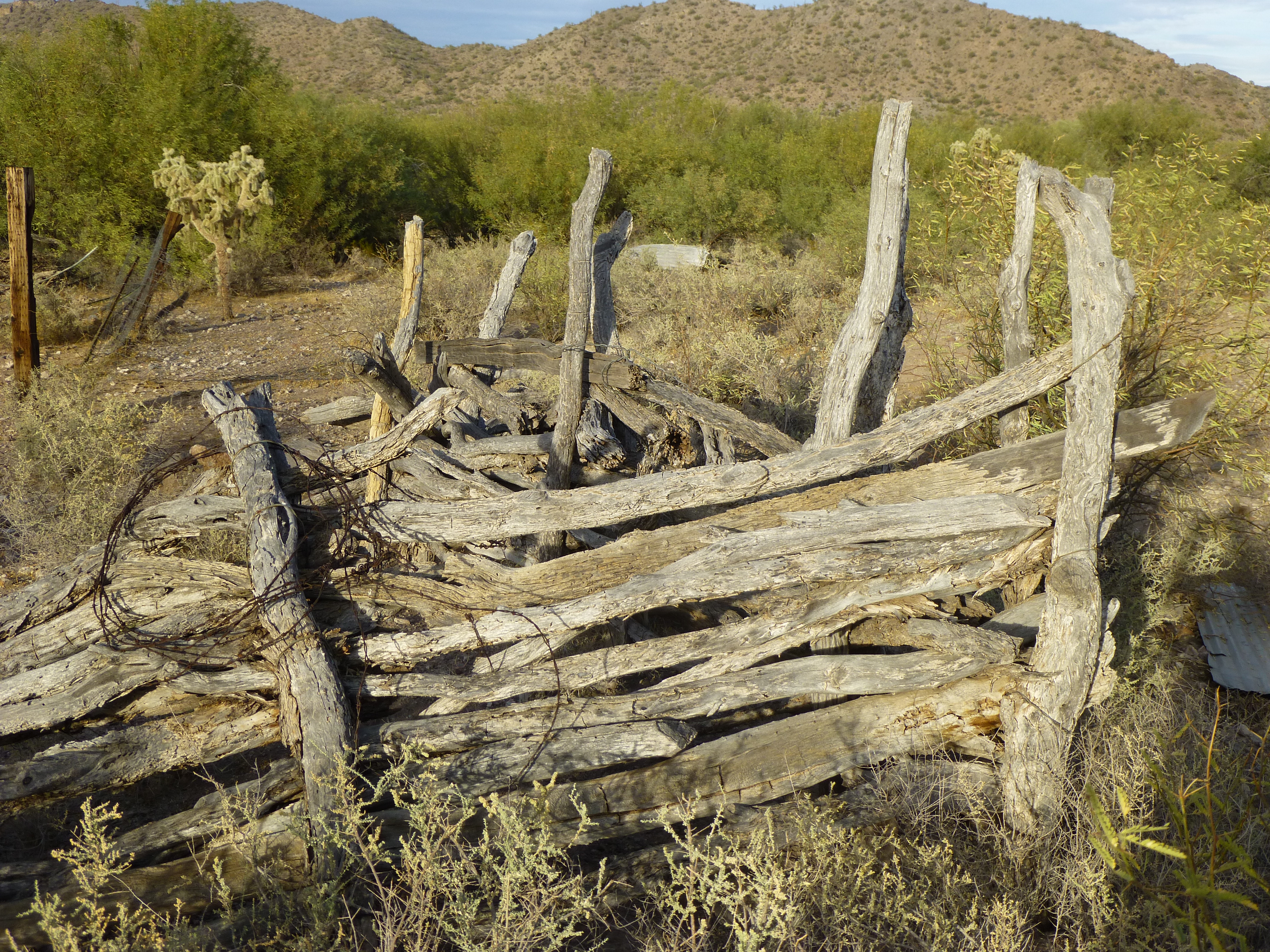
An old fence
A clever gate
It had been another great trip into the desert – thanks for coming along for the ride.