
Only a few people have ever heard of Comobabi, Arizona – very few. Little wonder, the total population as of the US census of 2010 was a whopping 8 souls – really – 8!. This tiny hamlet sits between two mountain ranges: the North Comobabi Mountains to the north, and the South Comobabi Mountains – you guessed it – to the south. By the way, the name’s meaning is interesting. “Comobabi” is the anglicized name. In the O’odham language, the name is Kohm Wawhia, which translates as “Hackberry Well”. Here is a link which explains more about hackberry.
My love affair with this part of the Tohono O’odham Indian Reservation begins in the 1980s, when I went to climb the highest points of each range. Over the years, I went back several more times, spending wonderful days picking up the rest of the peaks (each range has 10 distinct peaks).
One of the best returns was on March 15, 1998. On that very special day, climber friend Dave Jurasevich from California met with a group of friends near the village of Sil Nakya on the reservation. All of us, in the company of Dave’s O’odham guide Phillip Segundo of Sells, climbed together to the summit of Mt. Devine in the North Comobabi Mountains. Why? This was the last of the 204 peaks on the Arizona Mountain Ranges list that Dave needed to climb to complete the list – he picked a good one!
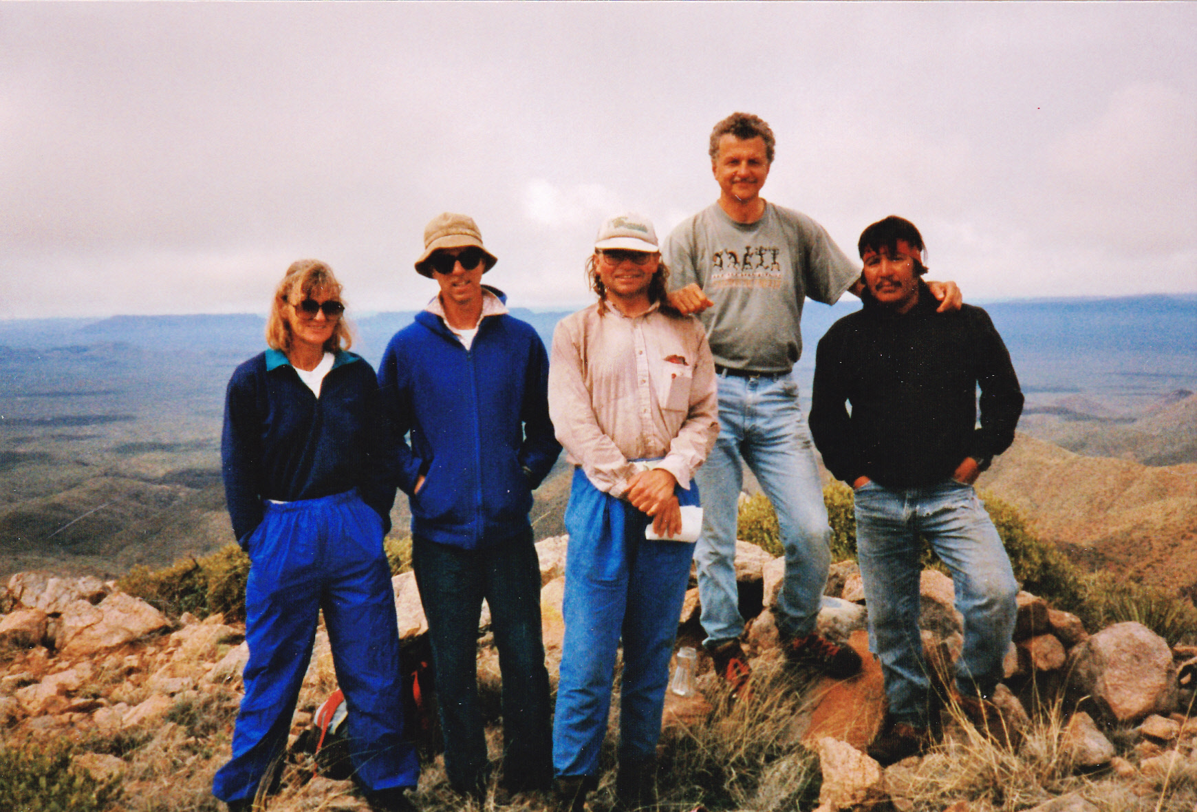
Dave is the tall one on the right.
The year 2002 proved to be very fruitful in both ranges, when I climbed about 15 of them. Many more years passed, then recently I discovered 3 more objectives in the northern range, and I was excited about the prospect of returning. One warm afternoon, I drove from Tucson out to the village of Comobabi. There, the pavement ends and a major dirt road continues west, a mile later reaching the high point of Comobabi Pass at 3,208 feet. From there, it was downhill another mile to the turnoff I sought.
On the map, it all looked pretty straightforward from the junction, a dirt road heading north towards my peak. It’s not a road I’d ever driven, so I hoped there’d be no surprises along the next 3 miles it’d take me. When I drive a dirt road, I am looking carefully for tire tracks, an indicator of how often or how recently others may have passed that way. There was plenty of vegetation growing in the middle of this two-track, and no evidence of discernible tire marks. The drive went without incident, except for a moment when my passenger-side rear-view mirror lost an argument with a tree. After a few stops along the way to check the GPS, I reached a logical stopping point. It was about 4:30 PM.
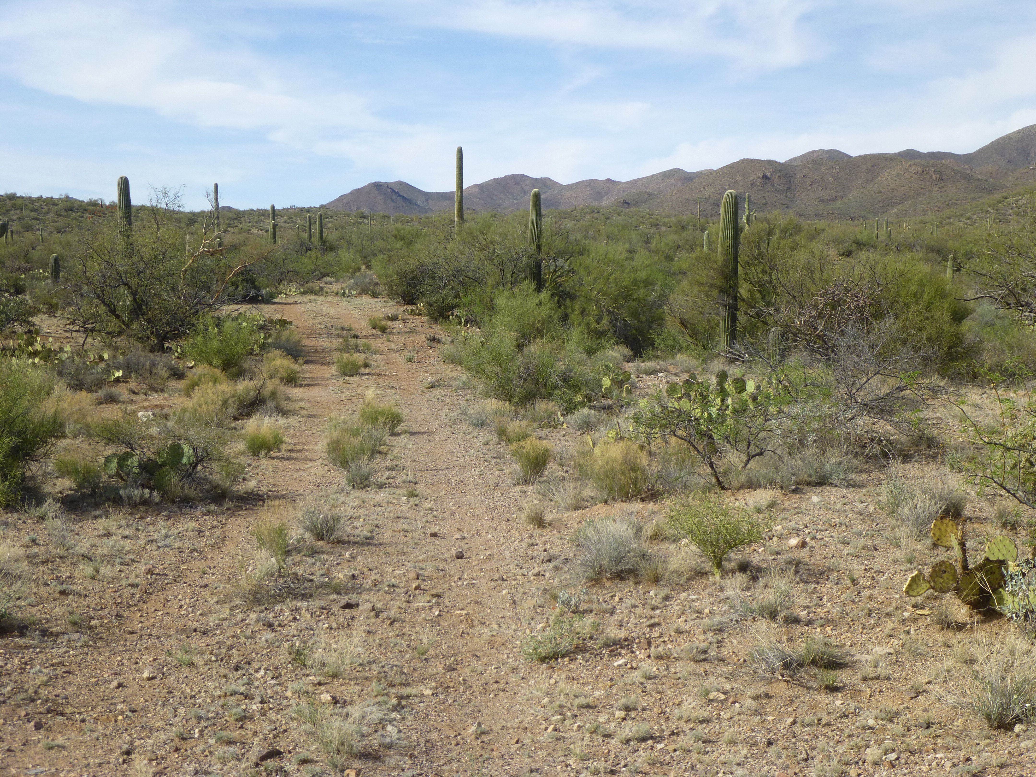
The old road
Hmm, a choice to make at this point – I could quickly get ready and head out to climb my peak, trying to summit and then make it back before dark, all over unknown territory – or, I could just relax, enjoy the rest of the day and have a good look around this interesting spot where I’d stopped. I chose the latter, as the peak would still be there in the morning.
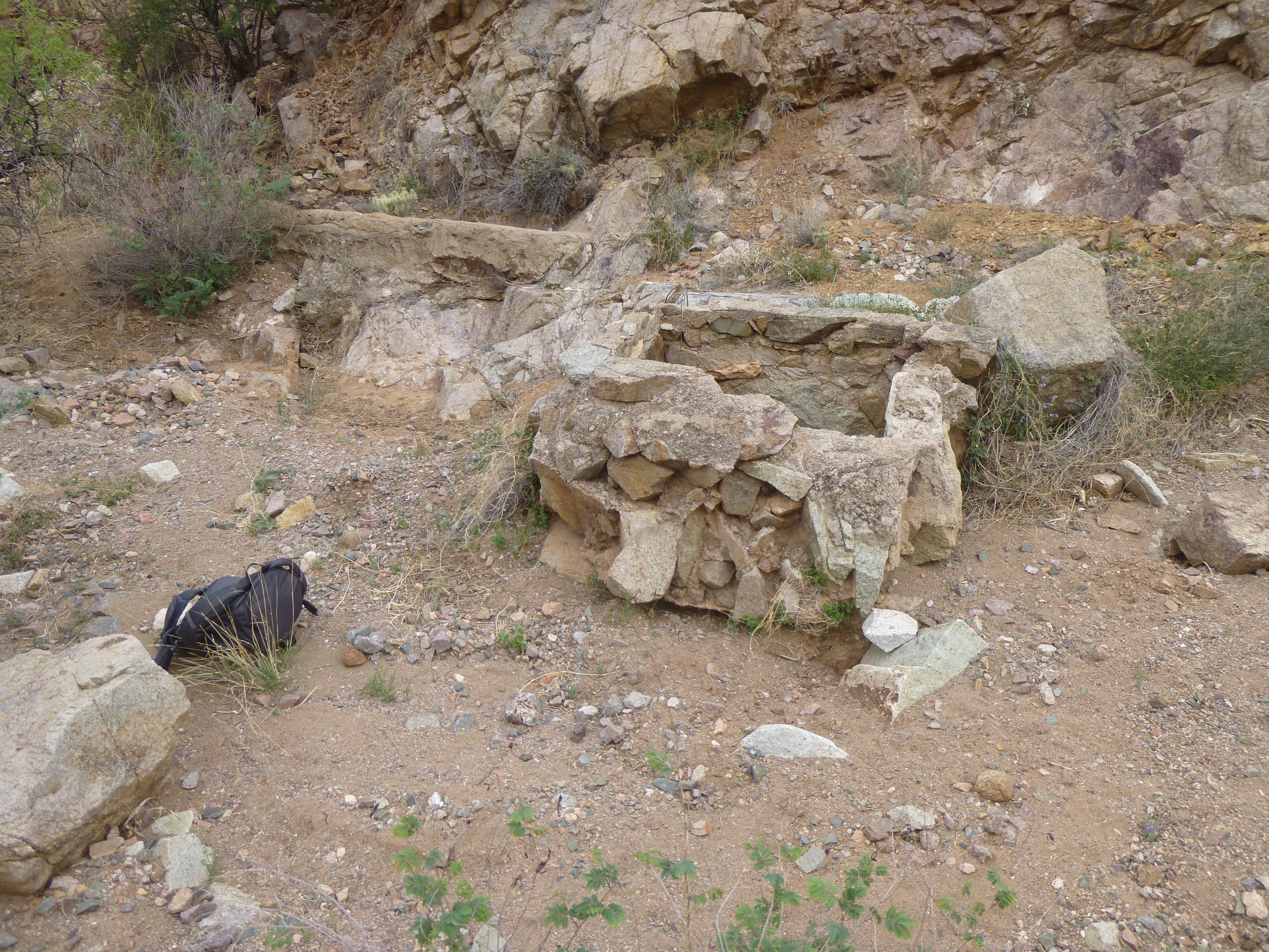
Nearby stood what was left of an old house – I just had to have a look.
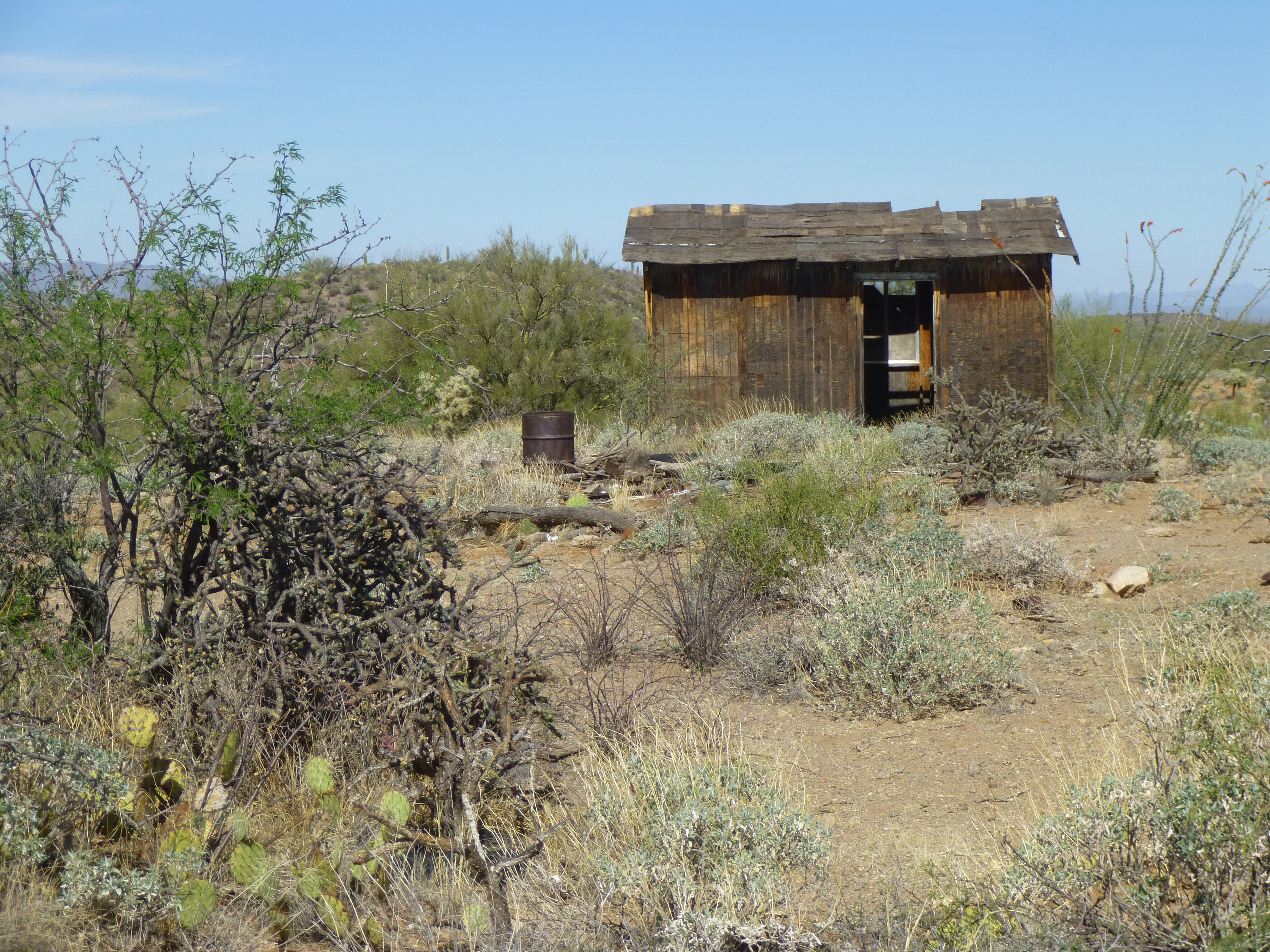
The old home on the range
As I stepped inside, I heard a sound familiar to all of us desert dwellers, the warning buzz of a rattlesnake – here was a Western Diamondback, and he was letting me know that he belonged here and I was the intruder. He was 3 to 4 feet long (I wasn’t going to go over and measure him!!). Here’s a short video for your enjoyment.
Okay, I was about done in there! Back outside, I had a good look around. Trash lying around was evidence that this had been someone’s home. The little hill in the background is Point 3370.
Stuff
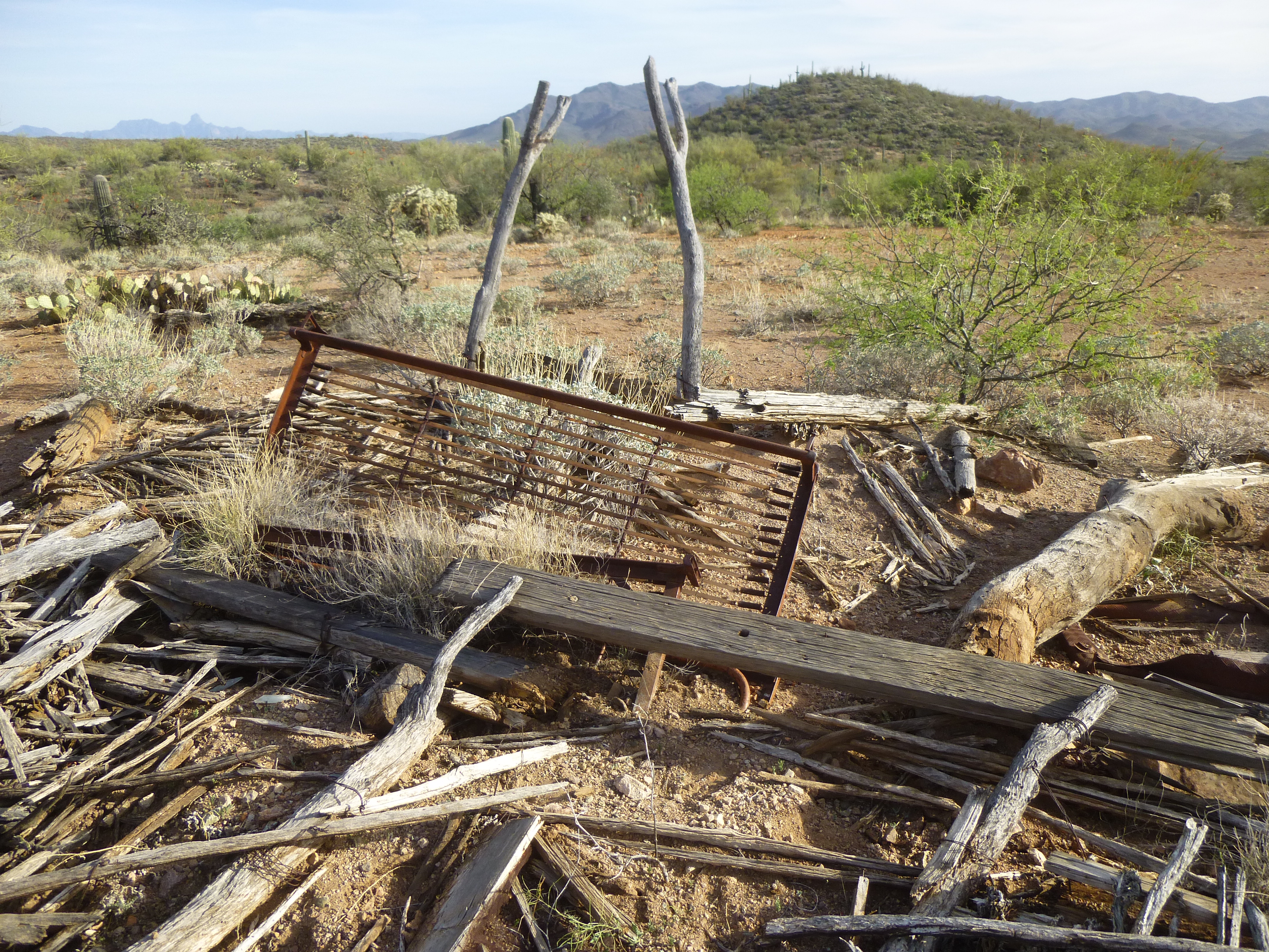
A hundred yards from the house was this strange thing – I don’t know what purpose it served, maybe a support for some shelter?

The whatever.
After a while, I settled in for the evening. No cooking on this trip, just a sandwich and a good ol’ Guiness. I love my truck – this old 1988, right out of the factory, is 24 inches from the ground up to the bottom of the door.
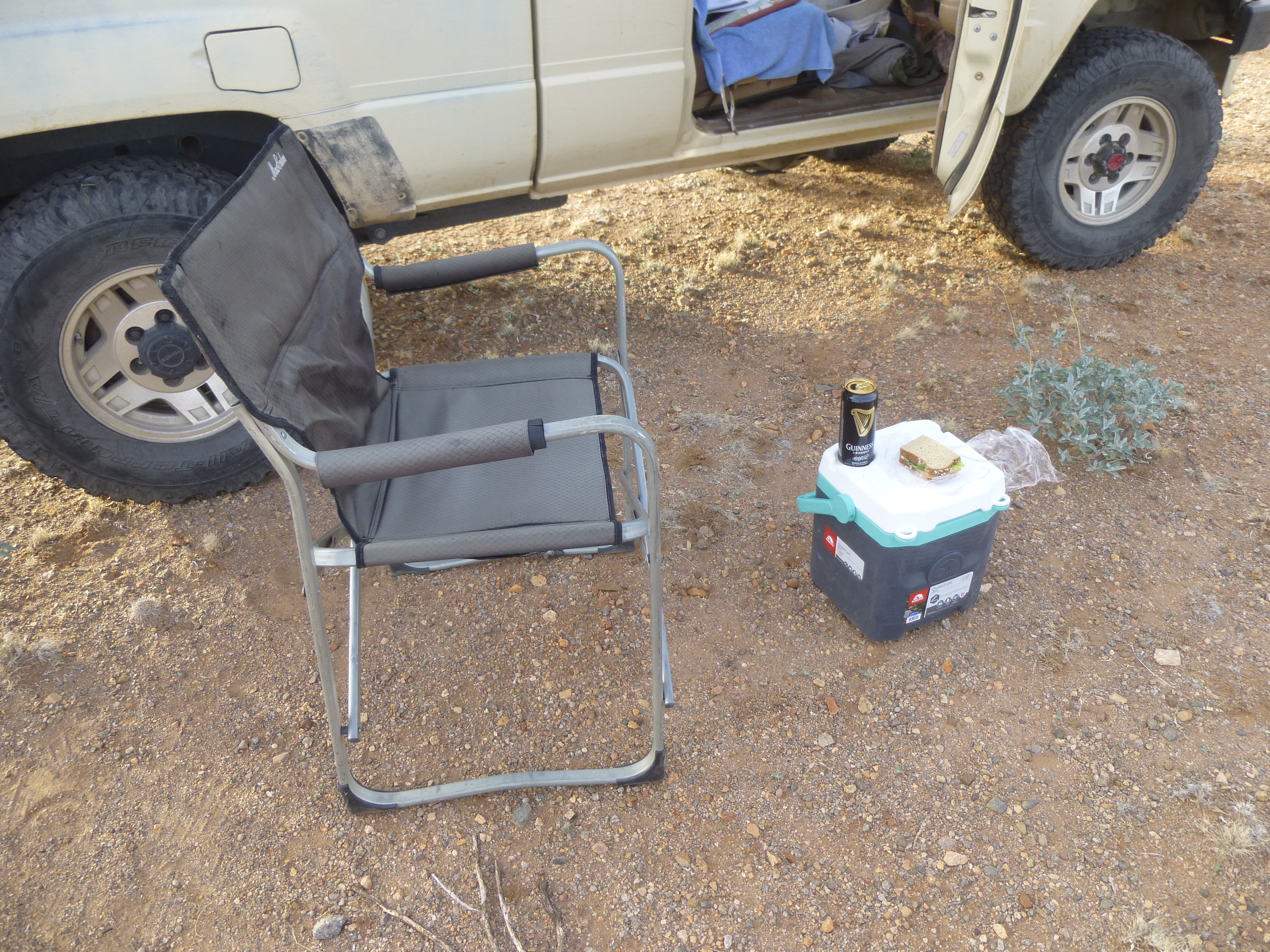
My gourmet dinner
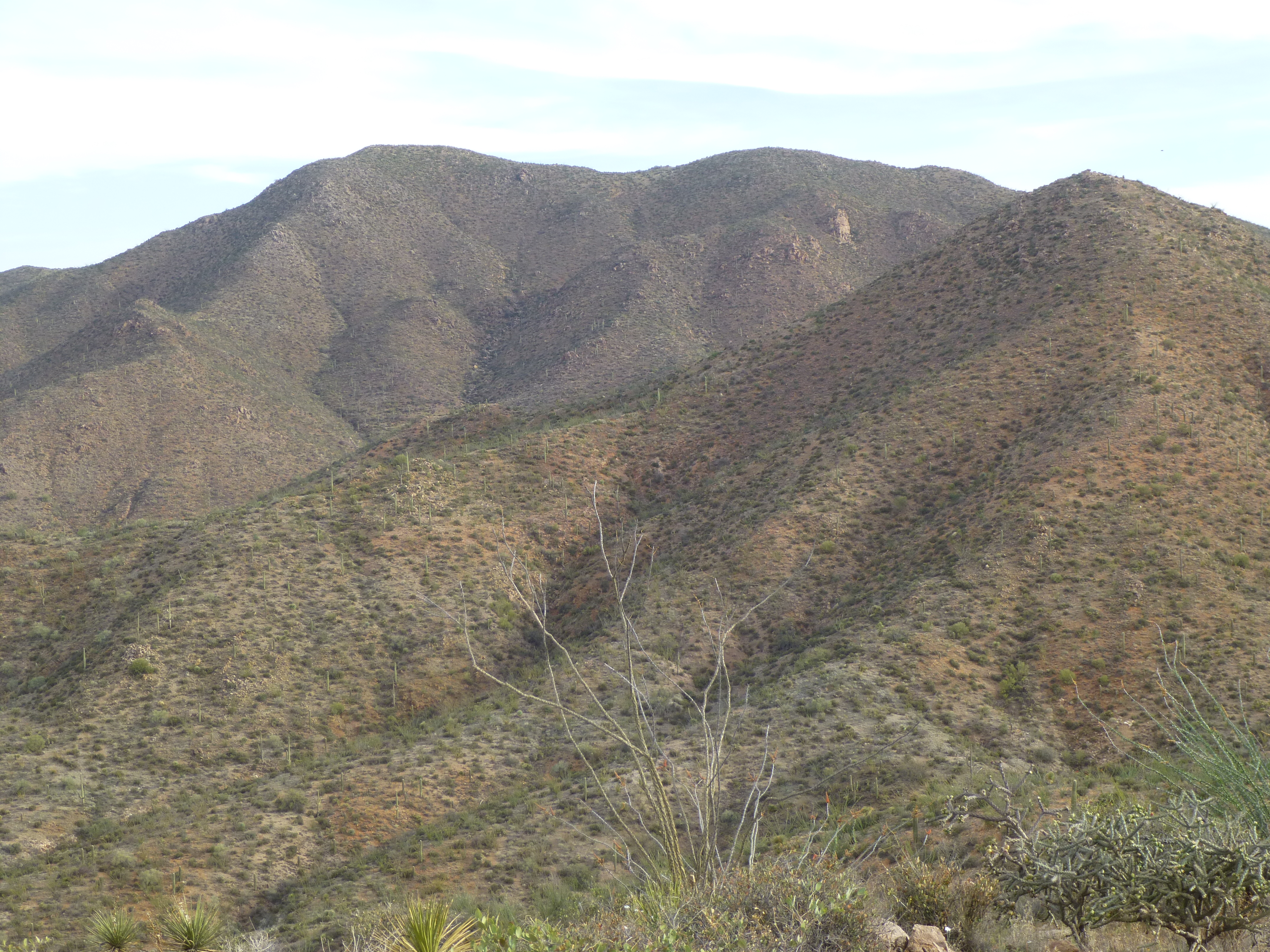
The peak I was delaying until morning was straight ahead and plainly visible to the northeast. It’s the one on the skyline, just to the right of center.
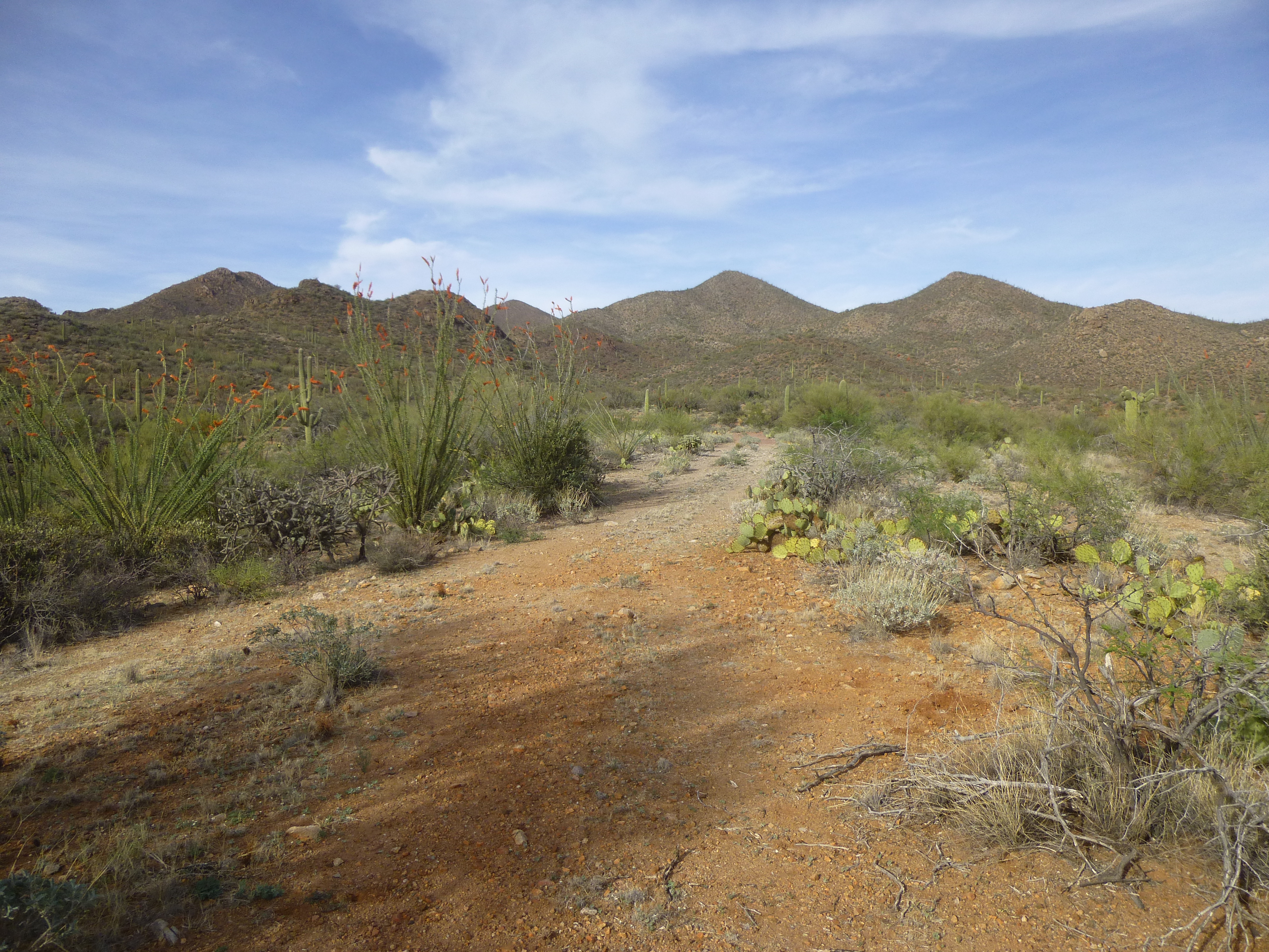
There it is, straight ahead.
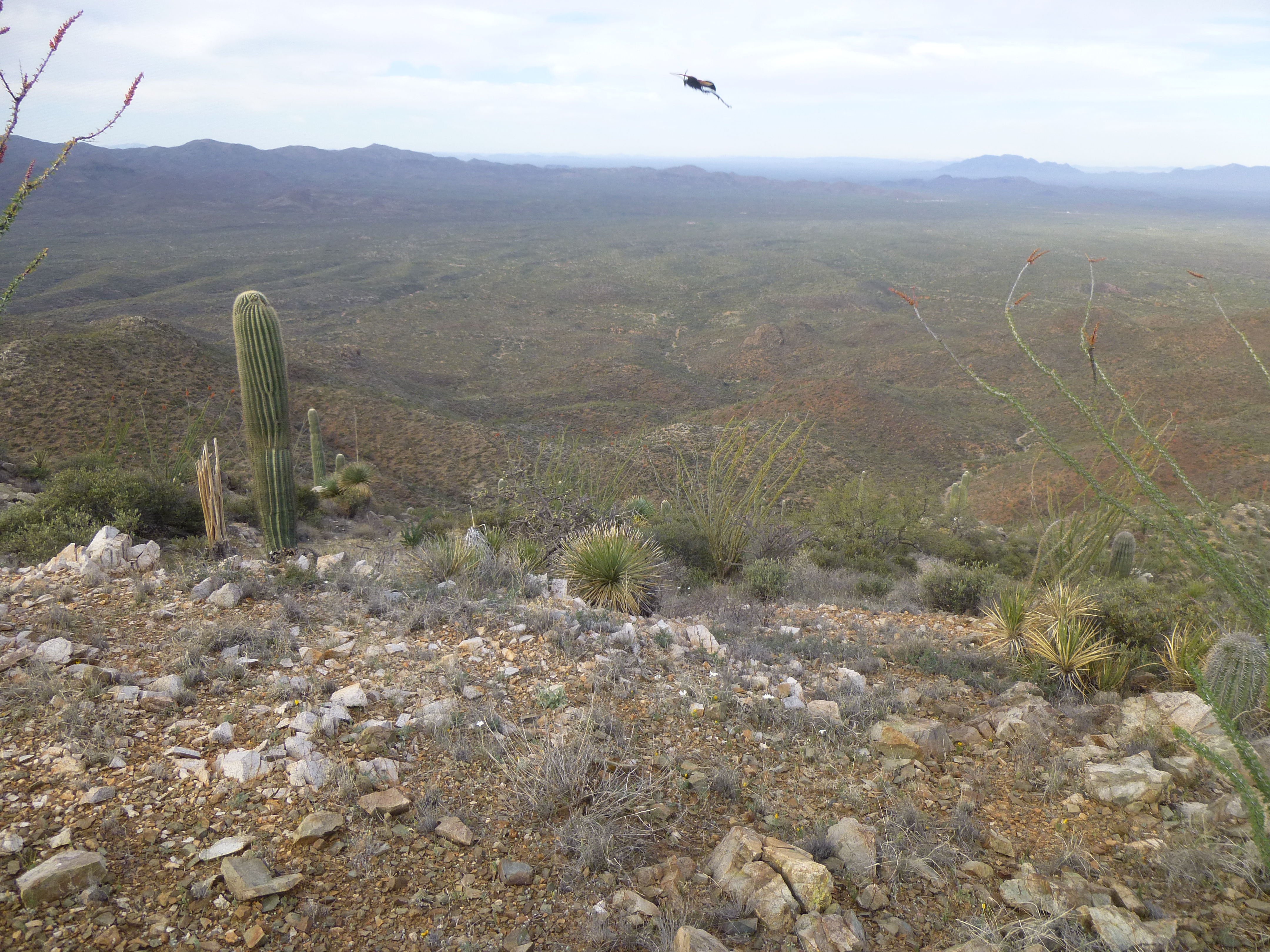
All I had to do now was sit back and enjoy another amazing desert sunset.
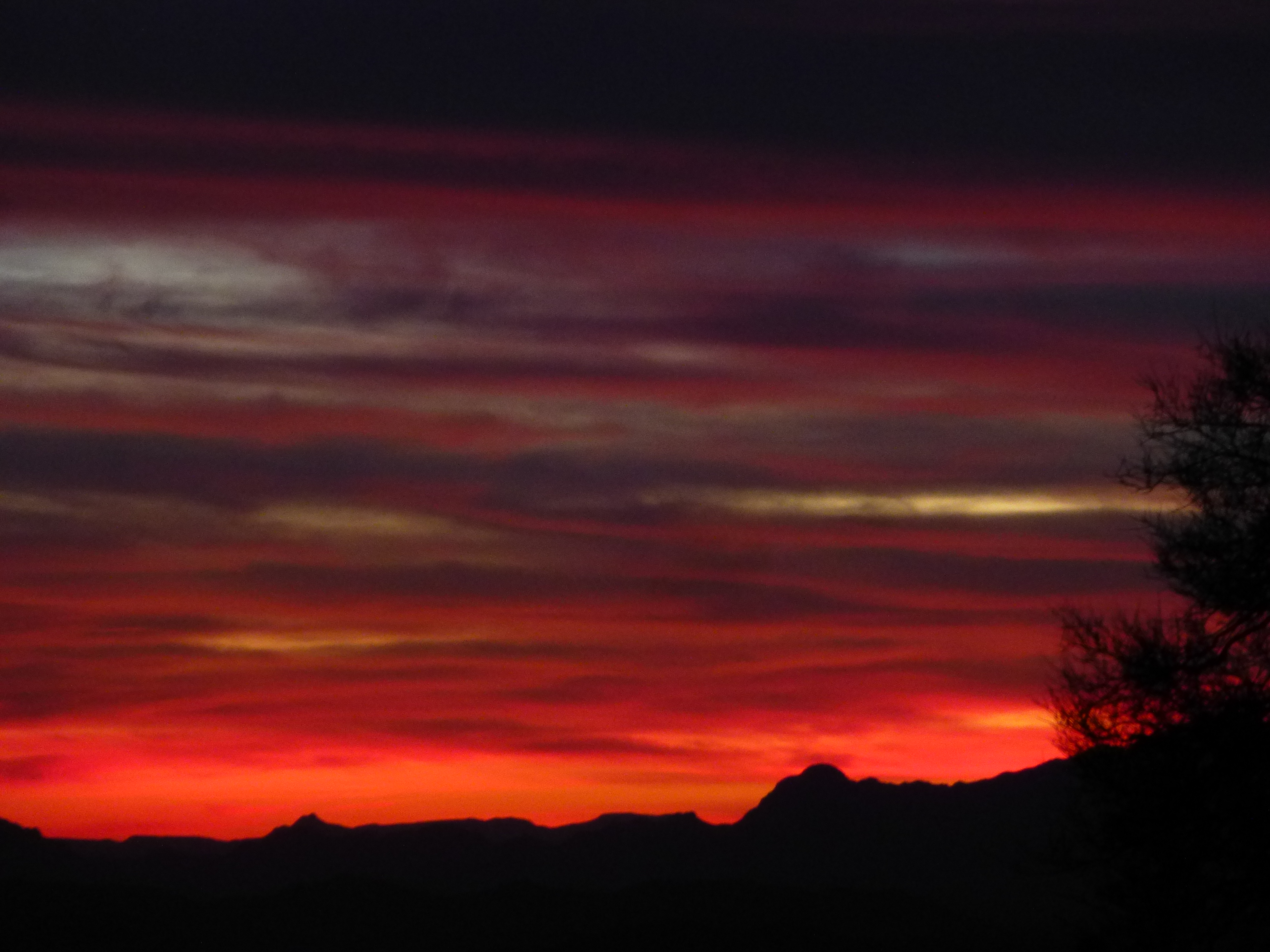
Sunset
Overnight, the temperature only dropped to 60 degrees F. I was on the move at first light, and curious as to what I’d find today. A quarter of a mile from camp, the road entered a wash and promptly vanished, and not long after that I arrived at something shown on the topographic map as “Suwuki Vaya”. I knew that vaya is the O’odham word for “well”, so that’s what I expected to find, and in fact did. I have no idea what “suwuki” means. So this is what I found.
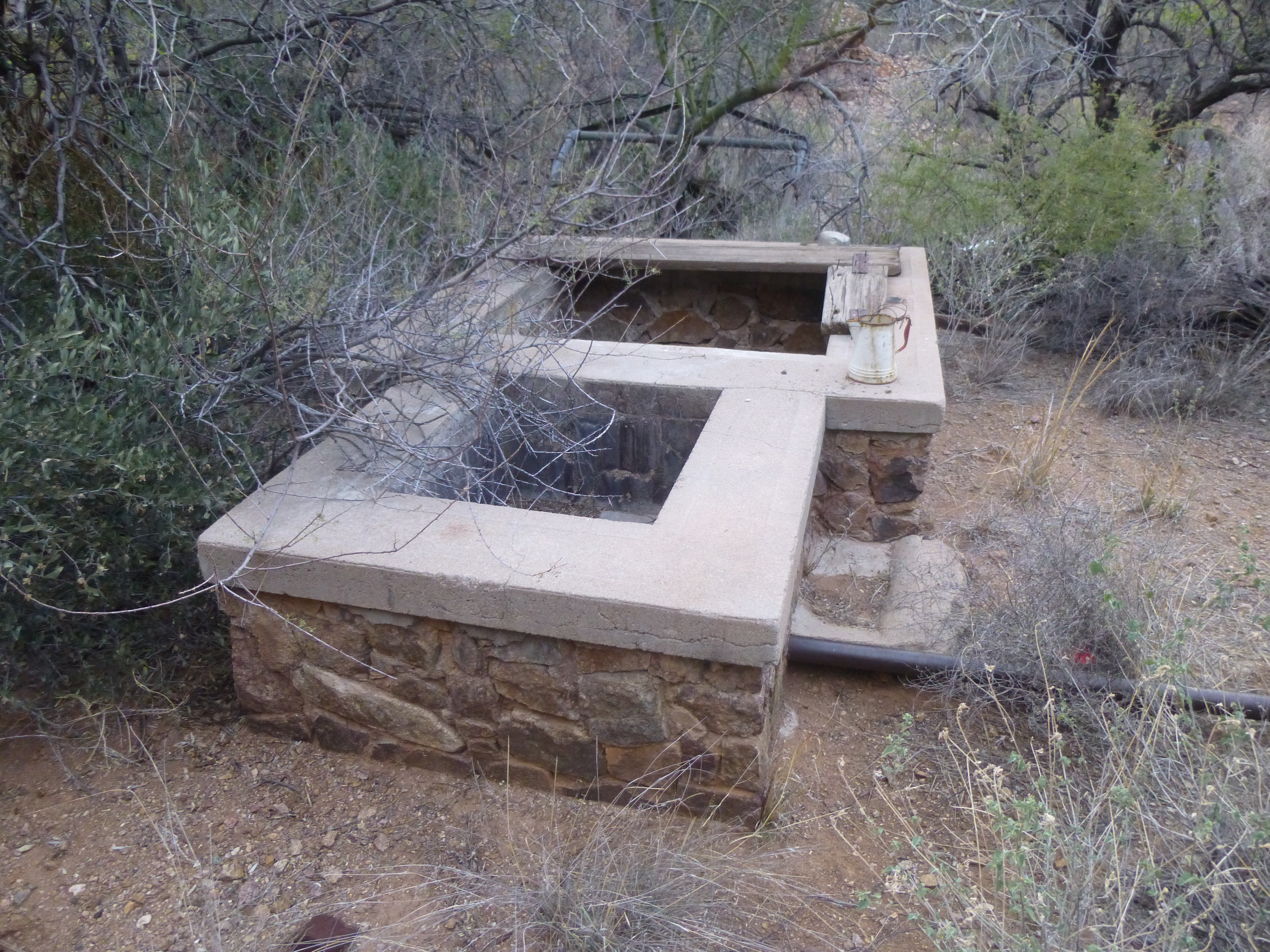
The well
Someone had put a lot of time and effort into creating this well. I looked down into it (it’s the hole farther away from the camera) and had a real shock – there was water in it all right, but I estimate it was a good 50 feet down. This was a well for the ages, as its sides were rock all the way down. Here’s what I saw. I zoomed in for the photo, so it doesn’t look far down, but it’s the depth of a 5-story building! God help anyone who fell in, as I think it’d be a death sentence.
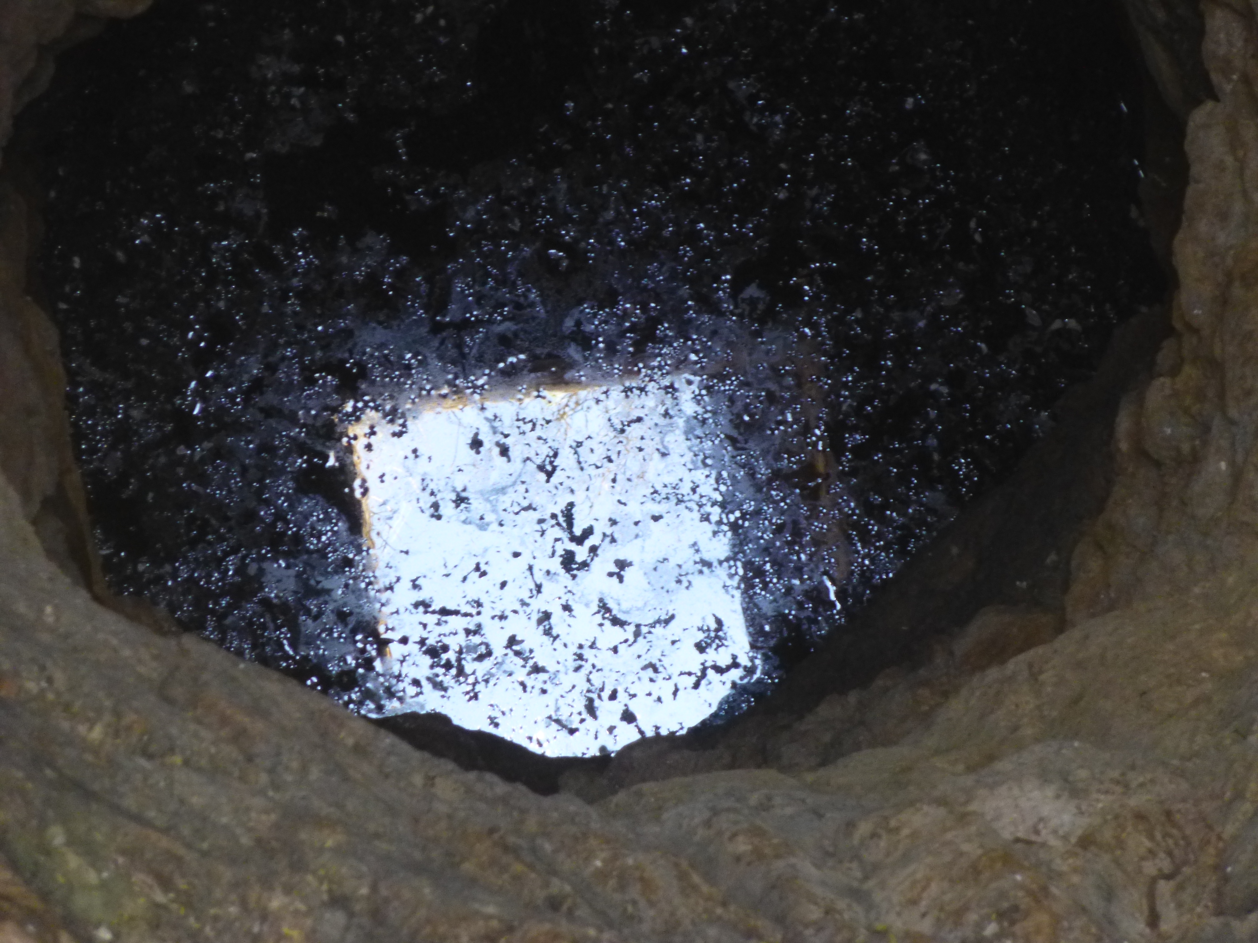
A look into the depths
Next to the well was this long trough – I think that when someone lived in the old house, water could be brought up from the well and put into the trough for cattle. There may have been a windmill here to pump the water.

The trough
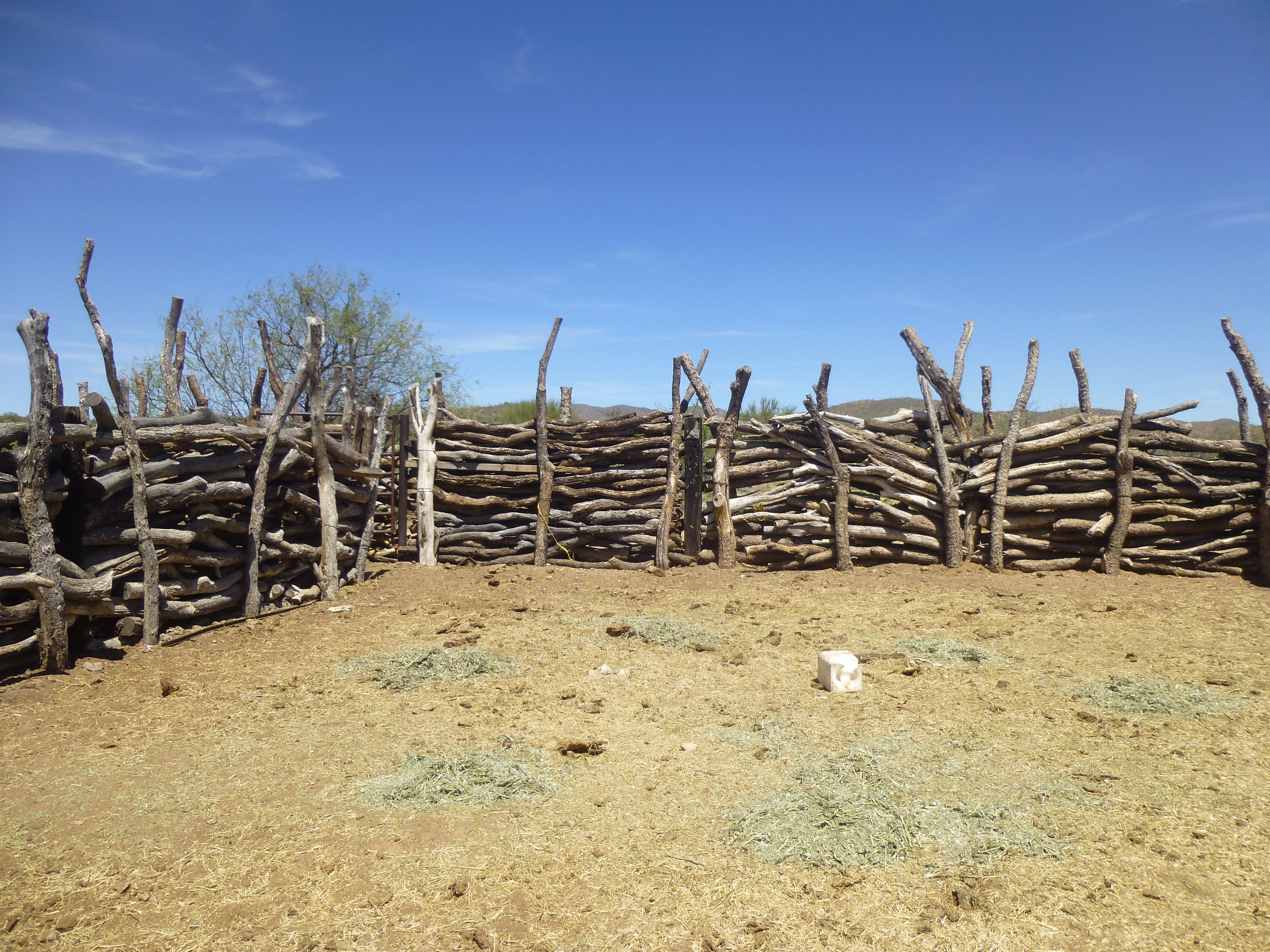
Nearby sat this lovely rock wall, its purpose unknown.
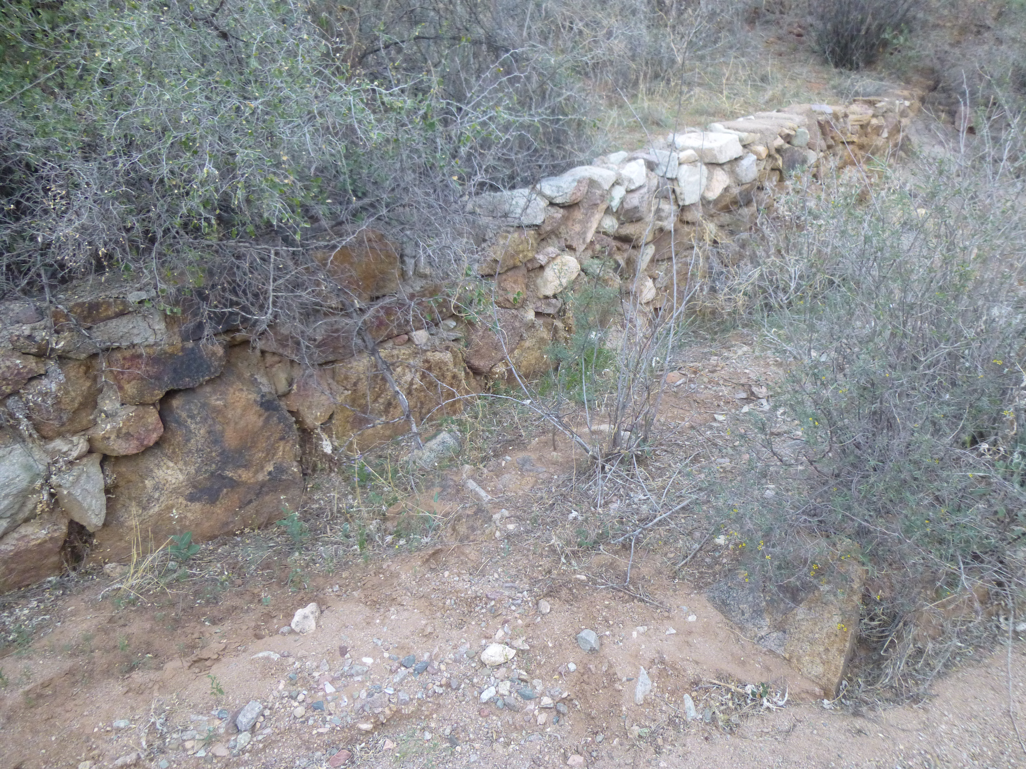
The wall
It’s entirely possible that the well delivered water to the house, which sits about 60 feet lower than the top of the well. although I saw no extant evidence to back that up. So now that I had seen Suwuki Vaya first-hand, it was time to move on – after all, I had a mountain to climb.
Peakbaggers always have a decision to make as to the route they will take to climb something. For this one, I could have gone at it in a straight line, sticking mostly to ridges; another option was to stay in the wash where the well sat, and keep heading upstream to get in close to the summit. Canyoneering isn’t one of my strong suits, but I do enjoy it from time to time, and today seemed like one of those days. I carried on, looking forward to any surprises I might find. It wasn’t boring – the canyon twisted and turned, with even a few hairpin bends.
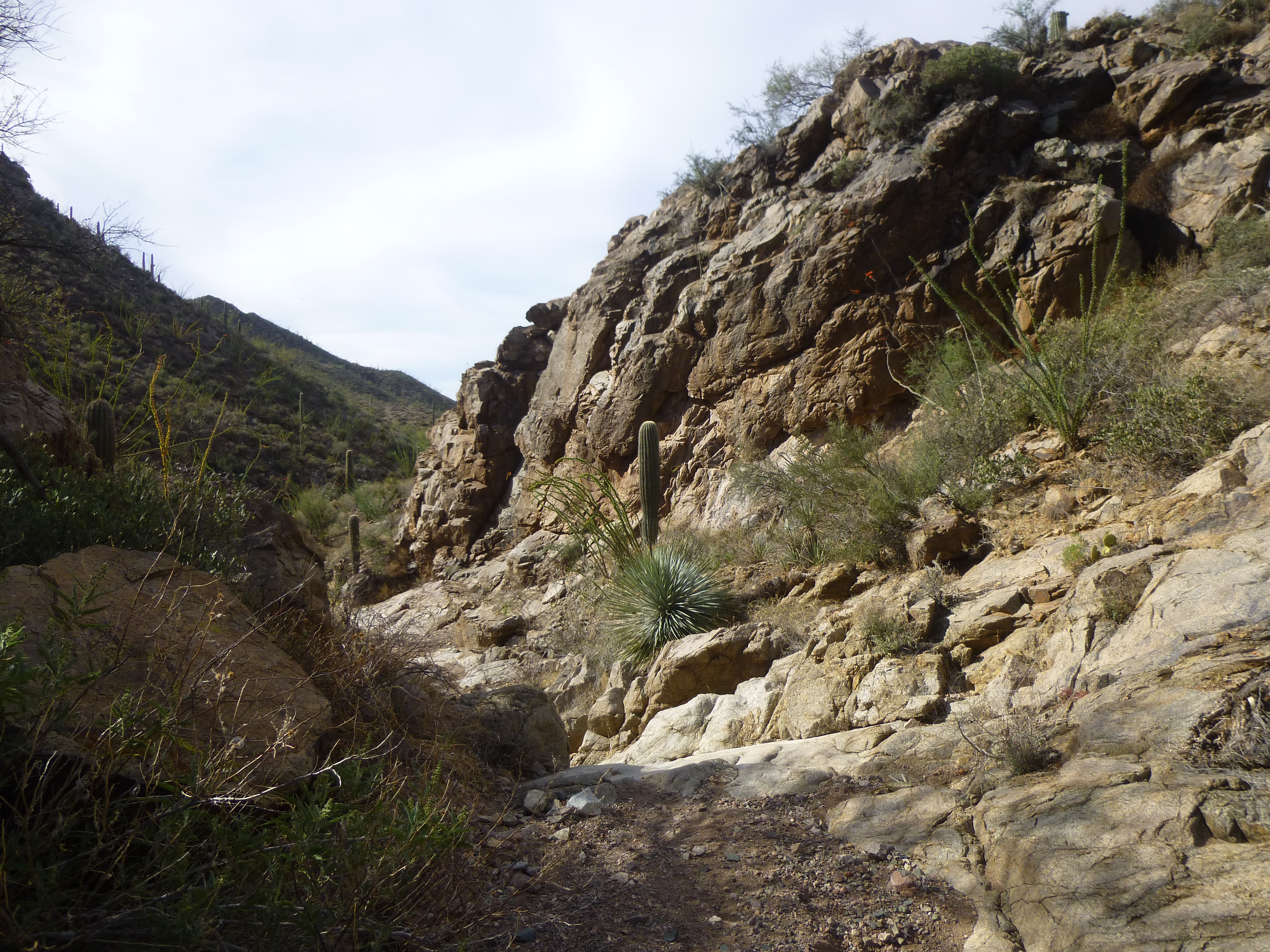
Nice walls
There were a number of small waterfalls, just for fun.
A little waterfall
Something totally unexpected was this, a second well. This was a mile upstream from Suwuki Vaya. It too held water, and I could see it only 15 feet below the top of the wall.
The upper well
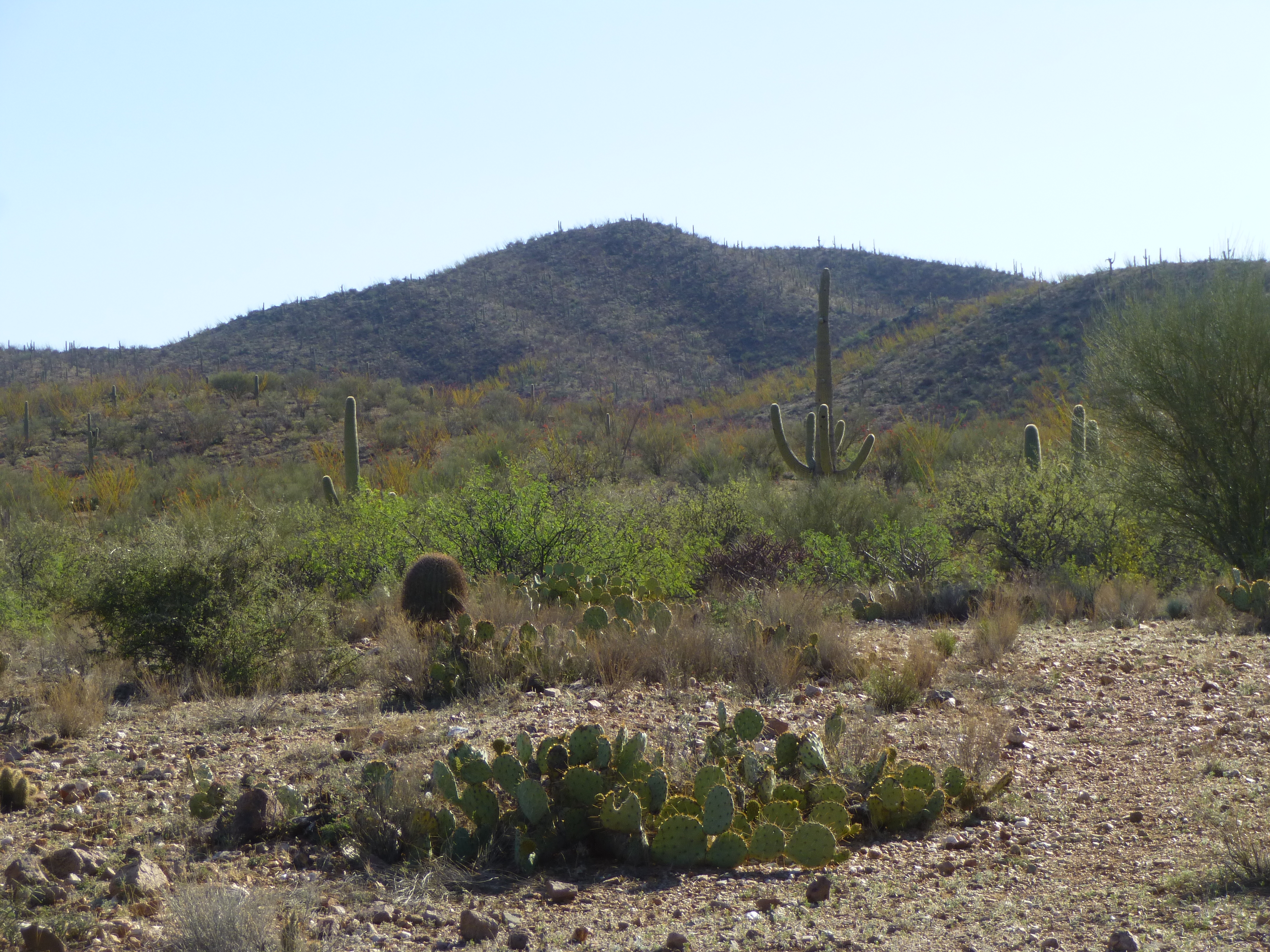
This was a rougher structure but still functional, and not on any map I’d seen. At a mile and a quarter, I felt it was time to leave the canyon – I was at 3,800 feet elevation. Up the easy northwest ridge I went, and at 9:00 AM I stood on the top of Peak 4261. Just to my north stood Mt. Devine, the range high point.
The south side of Mt. Devine
I didn’t know it at the time, but as I took photos on the summit, this one captured something interesting, quite by accident – that is a tarantula hawk flying by. I am including here an excerpt from Wikipedia, which I think you’ll find interesting.
“Tarantula hawk wasps are relatively docile and rarely sting without provocation. However, the sting—particularly that of P. grossa—is among the most painful of all insects, though the intense pain only lasts about five minutes. One researcher described the pain as “…immediate, excruciating, unrelenting pain that simply shuts down one’s ability to do anything, except scream. Mental discipline simply does not work in these situations.” In terms of scale, the wasp’s sting is rated near the top of the Schmidt sting pain index, second only to that of the bullet ant, and is described by Schmidt as “blinding, fierce, and shockingly electric”. Because of their extremely large stingers, very few animals are able to eat them; one of the few animals that can is the roadrunner. Many predatory animals avoid these wasps.”
These are extremely common in my desert, and they don’t seem aggressive. However, when I first moved to Arizona over 30 years ago, I was stung on the top of my foot by one of these creatures. The pain was excruciating, unlike anything else I’ve ever experienced in my life.
The hawk
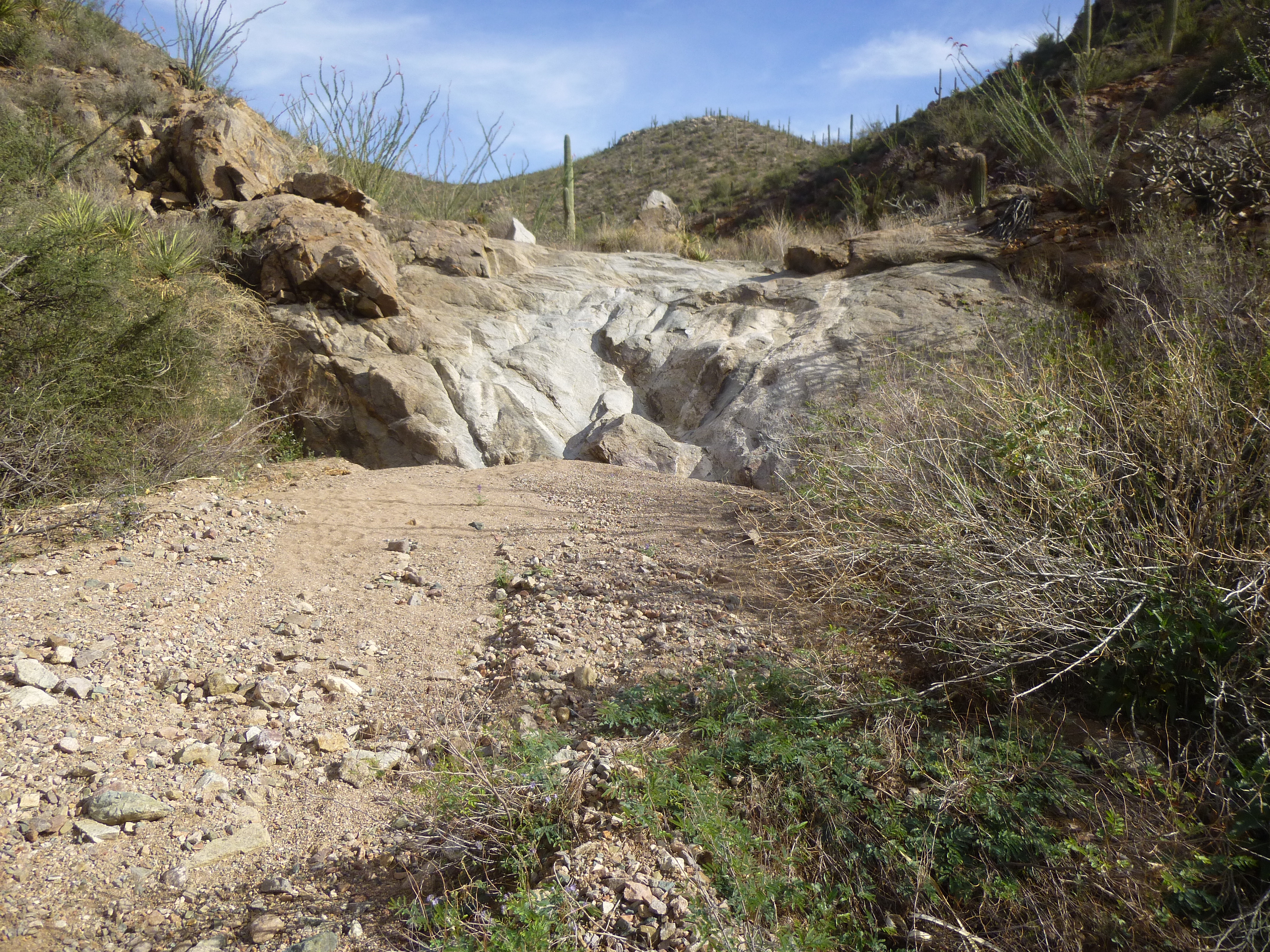
I hadn’t been in this range for many years, and I was enjoying myself so much that I left the summit without leaving my usual register, the first time I’d made that error of omission in years. Before long, I retraced my steps down the ridge, down the canyon past both wells and eventually back to my truck. The drive back out to Comobabi was an easy one, and once there it was short work to drive a different dirt road to park for my next peak. By the time I set out, it was already 11:30 AM. An easier peak you couldn’t find – a few small gullies and bumps to cross, and there I was on top of Peak 3590.
Looking east
Not much to report – the view from this small peak wasn’t anything special. One thing I could see, though, was the village of Comobabi in its entirety, only 2 miles distant.
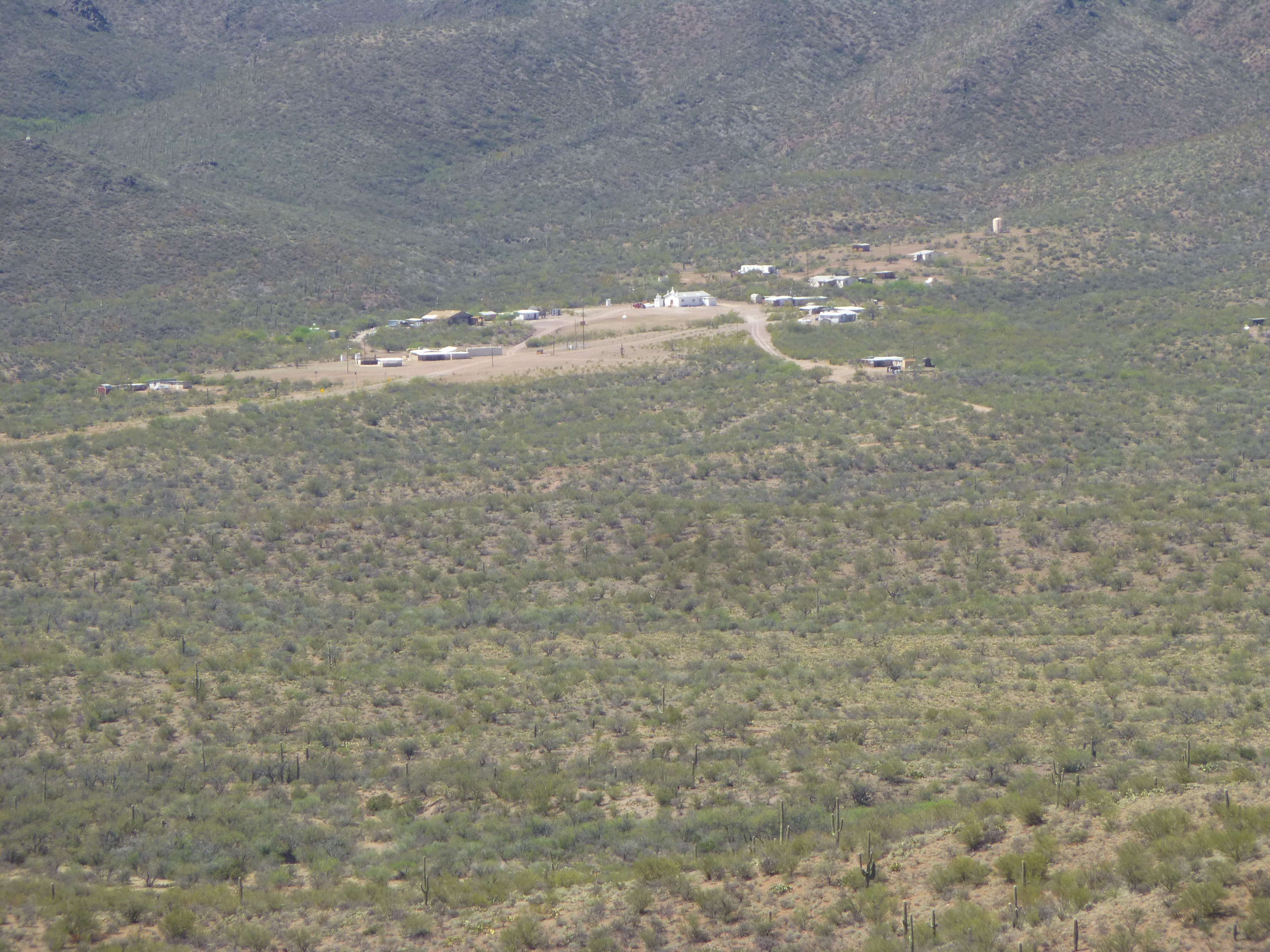
Comobabi
Back at my truck, I spent a while examining a beautiful corral.
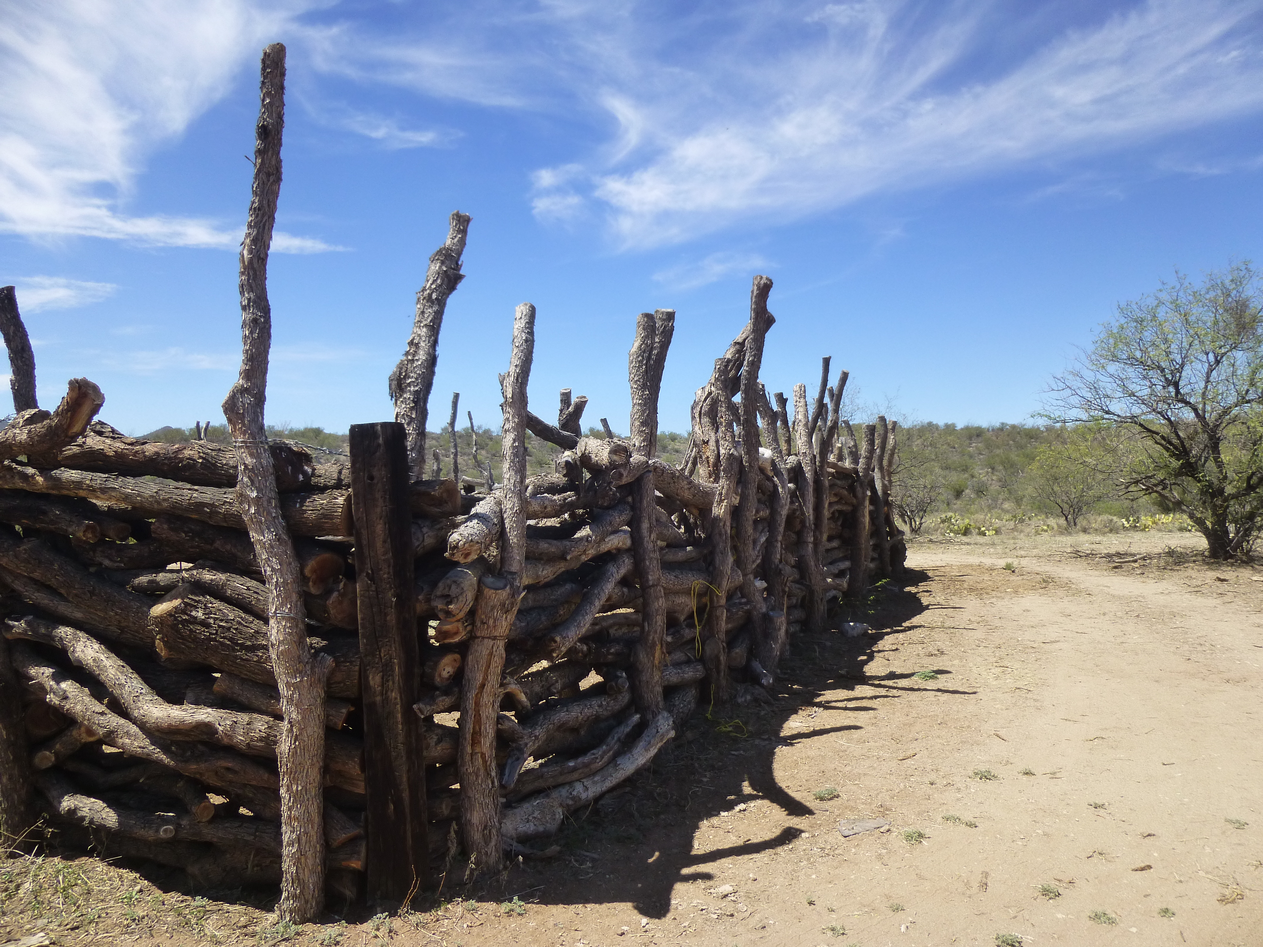
I love this corral!
There was one more left to do. I set out one cool morning a week later and headed up a quiet wash, and within 15 minutes look what I found!!
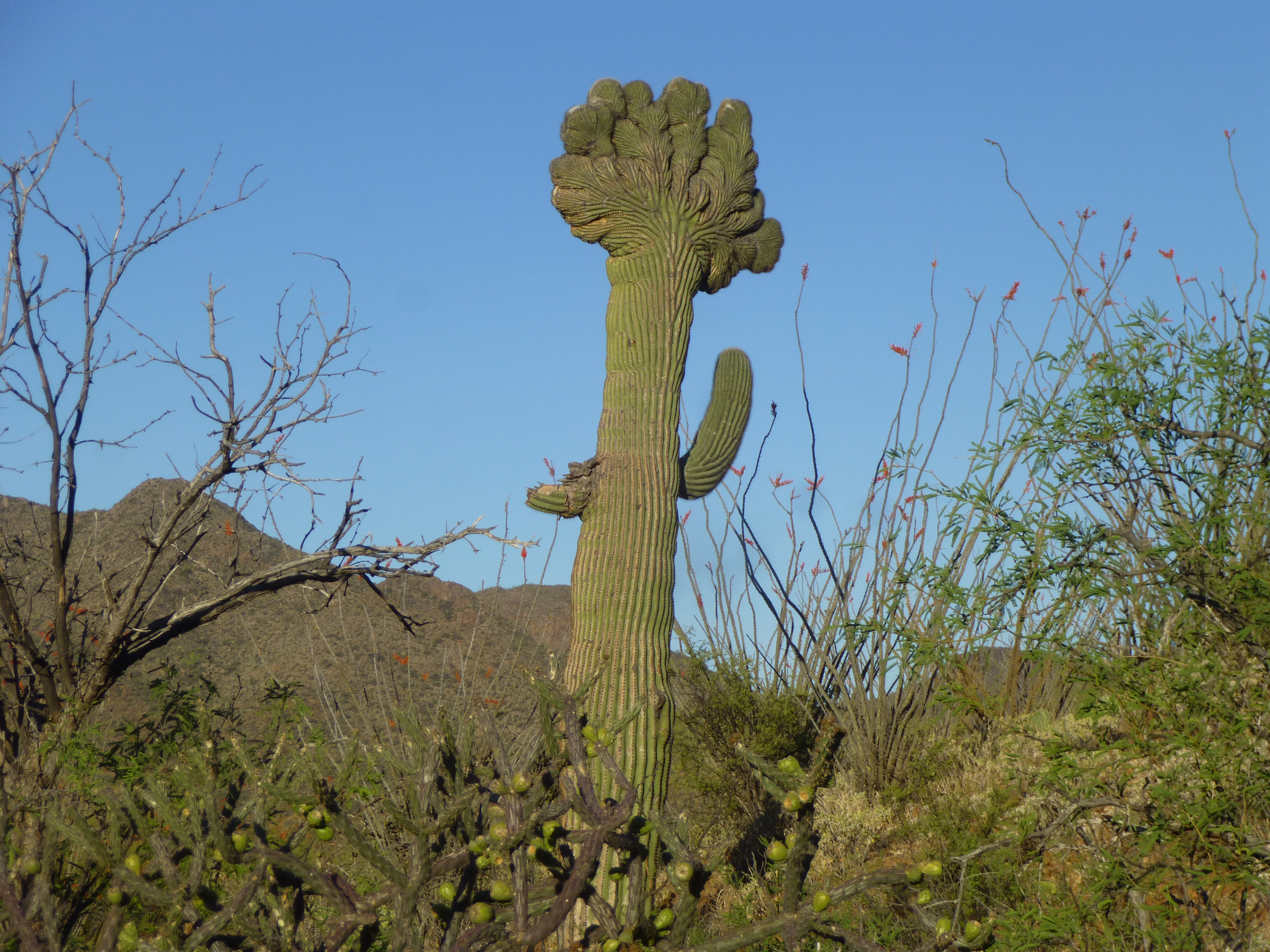
A rare crestate saguaro cactus
This was a rare find. Scientists aren’t sure what causes a saguaro to grow this way – they think it is either a genetic mutation, or caused by frost or lightning. Only about 2,000 of them have ever been documented, out of a population of many millions. As much time as I spend in the desert, I only come across one of these every few years. Finding one is almost like winning the lottery. Here’s something else I found, lying out in the open in the dirt.
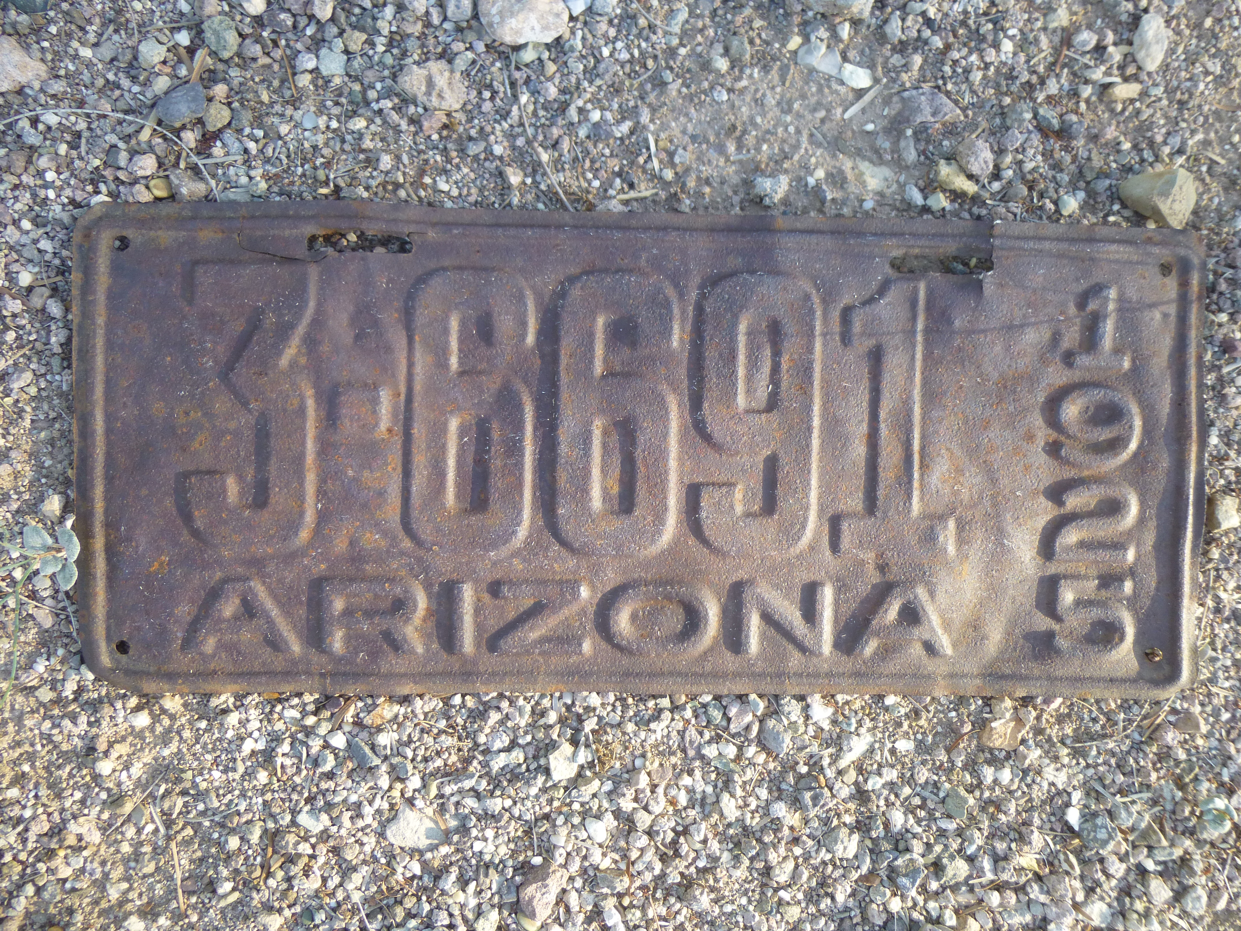
The plate.
The climb was quick and easy, and I soon stood atop Peak 3590. I left a register and headed back down to the truck. The peak wasn’t much to look at.
East to Peak 3590
That was it, every peak in the range was now climbed. There was something left to do, however. I drove over to the village to take a picture of the little church.
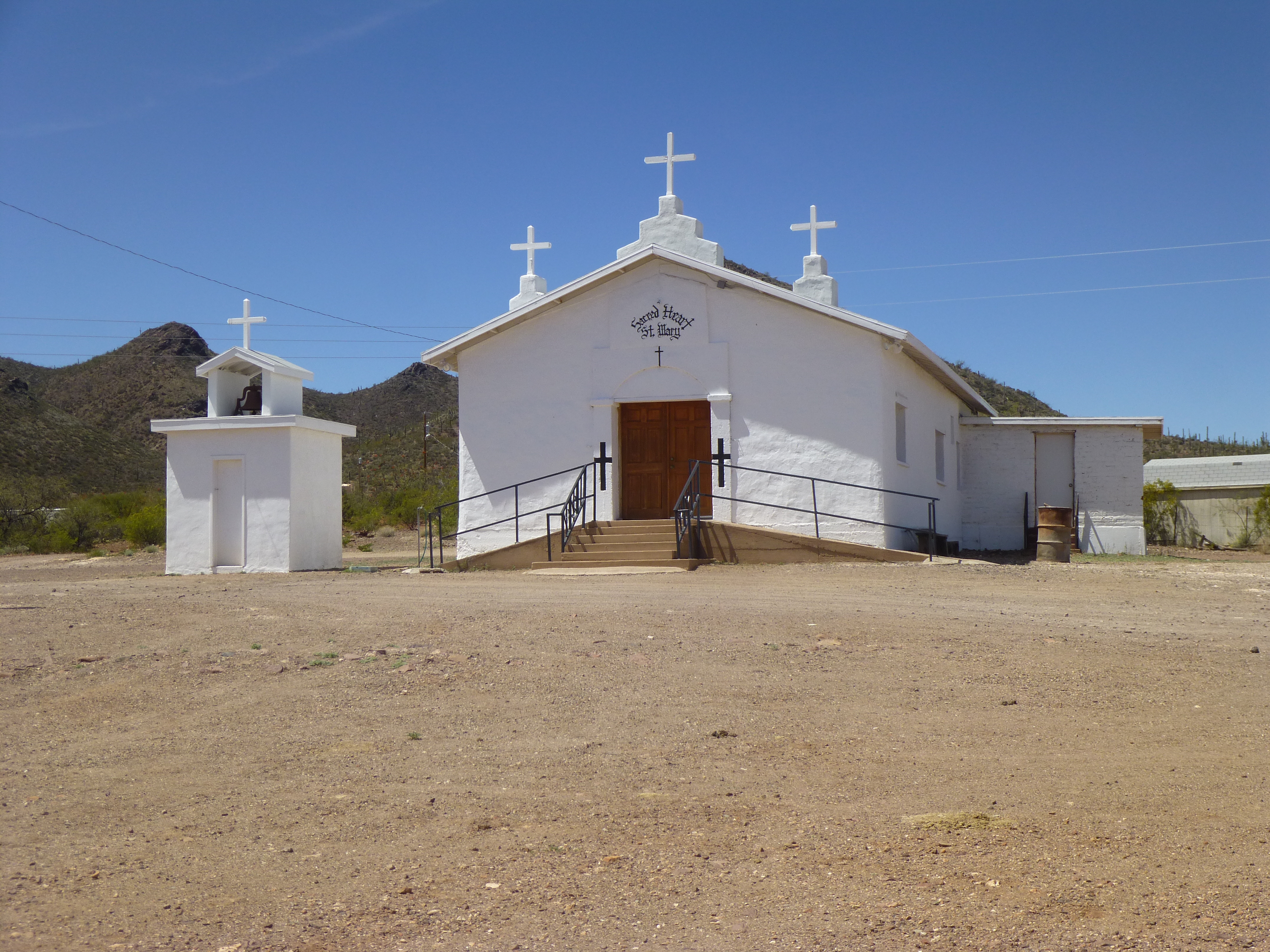
The village church.
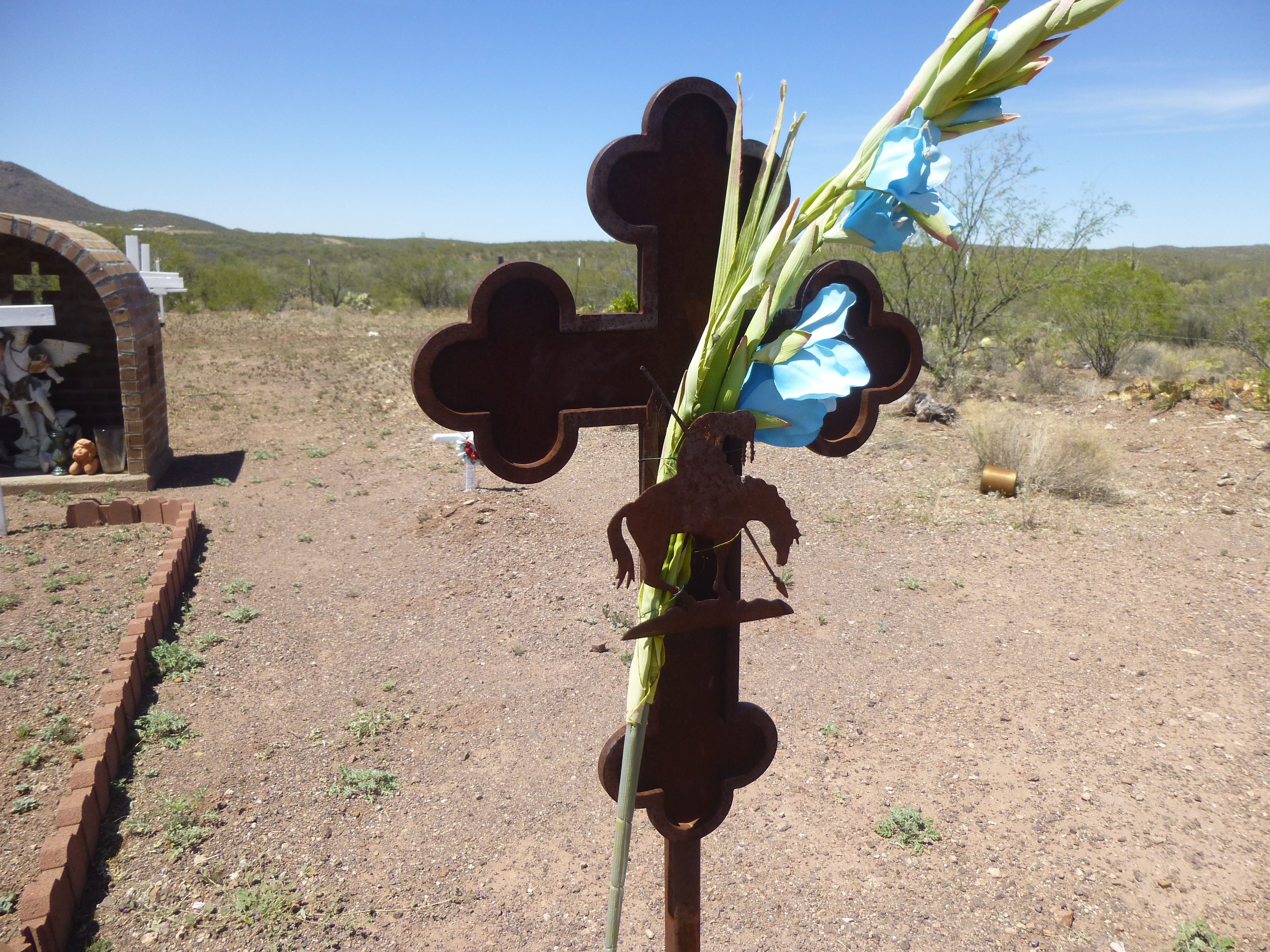
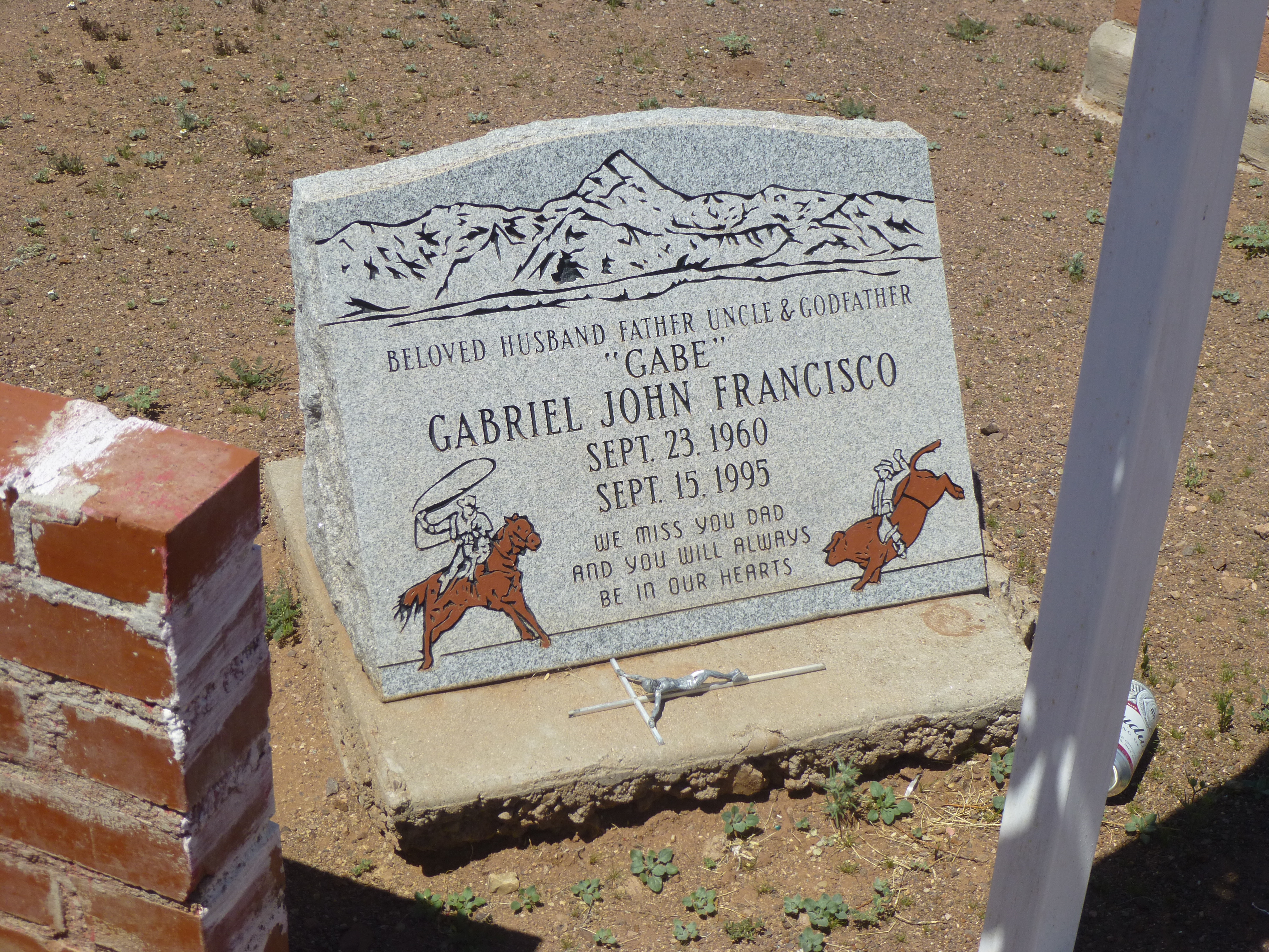
After that, I went to the village cemetery, where I counted a hundred graves. Remember, the village now has a population of 8. People have been living and dying there for a long time. There is an even older cemetery atop a hill overlooking the village, which I did not visit, so that would add a few more to the tally of souls that have passed on. I love to visit O’odham cemeteries, of which there must be hundreds. They are well-maintained, proving the respect and love the people have for their ancestors. There were so many striking headstones that I saw, I can only show you a few.
Many O’odham have been members of the armed forces and are justifiably proud of their service.
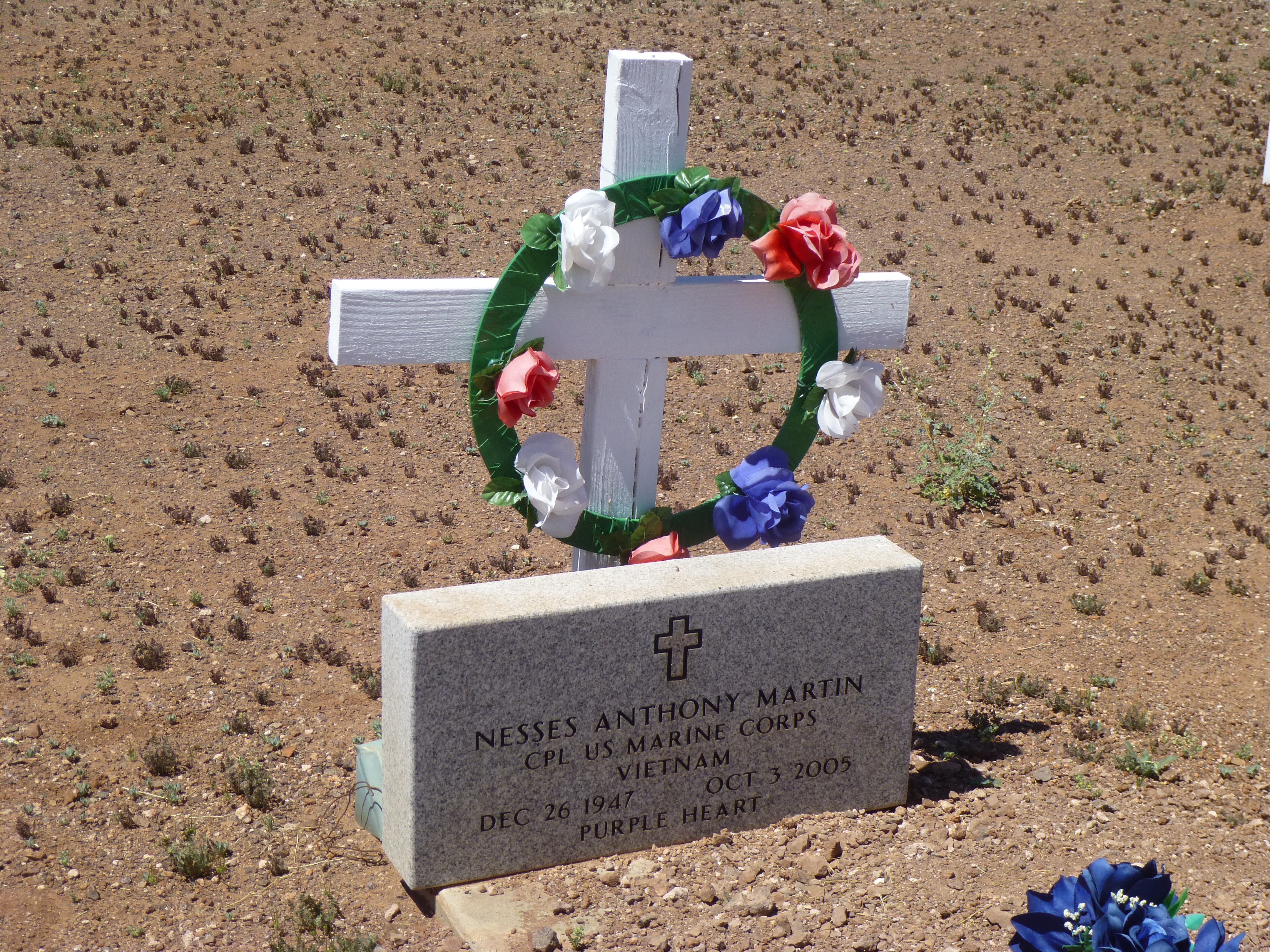
Military
A lot of the graves had crosses with simple markings like this one, and many had no markings at all.
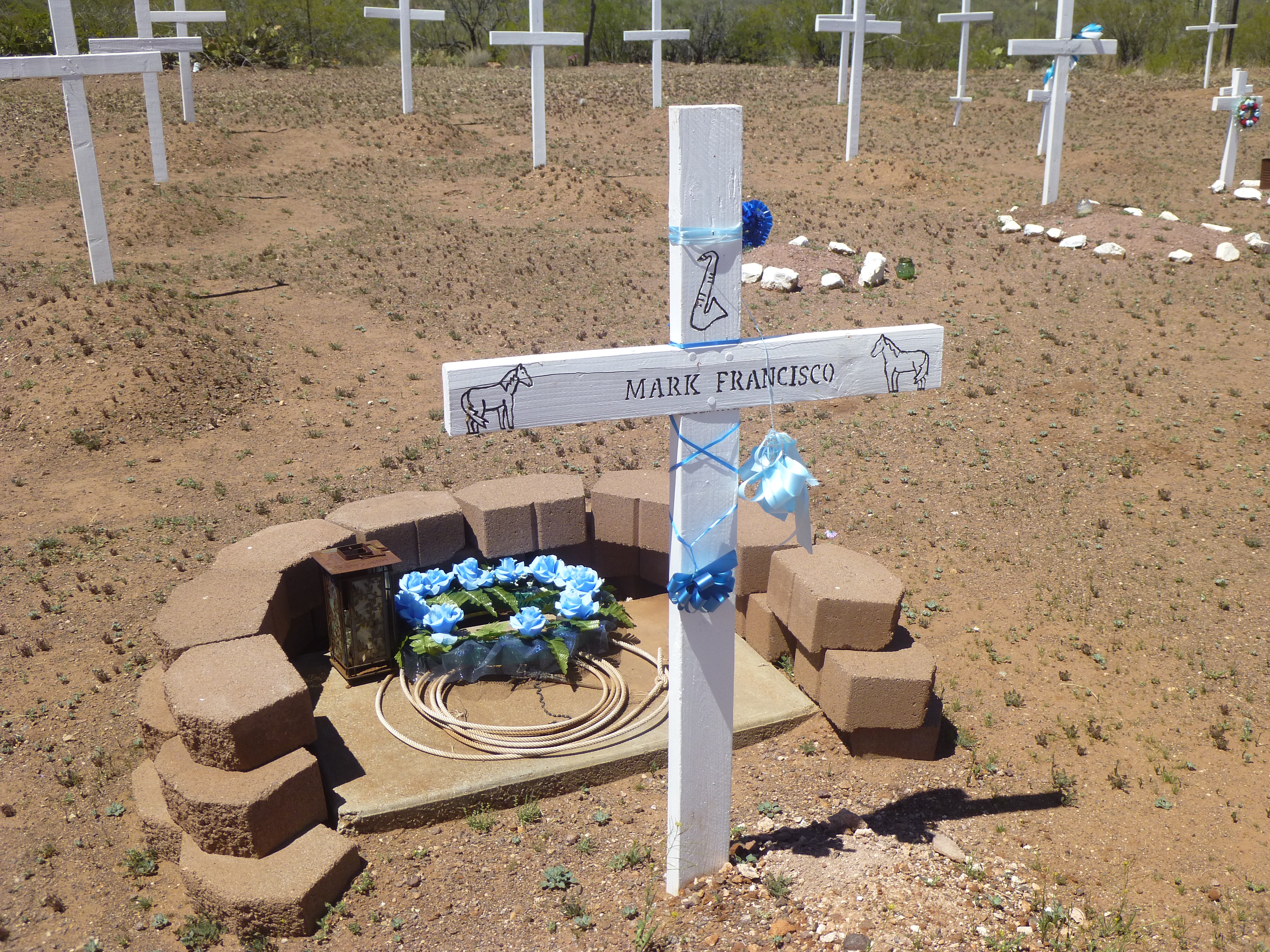
Simple
This was one of my favorites.
End of trail design on cross
This one caught my eye because of its mountain image.
The image of the mountain.
It was significant because the mountain shown could be the one that rises steeply above the village, the range high point of the South Comobabi Mountains, seen in this next photo.
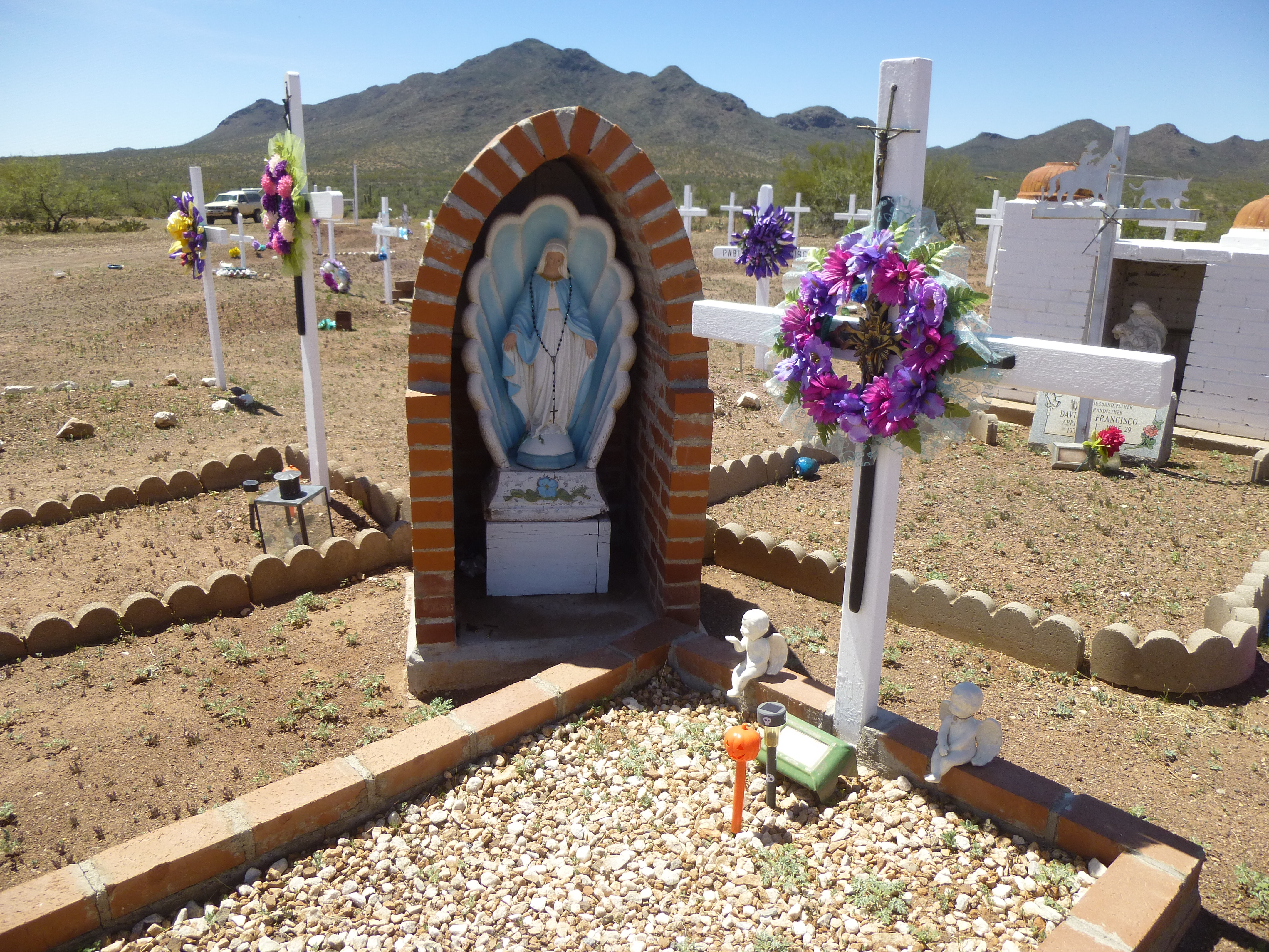
The Virgin and the mountain
And this last one, with the man-in-the-maze design.
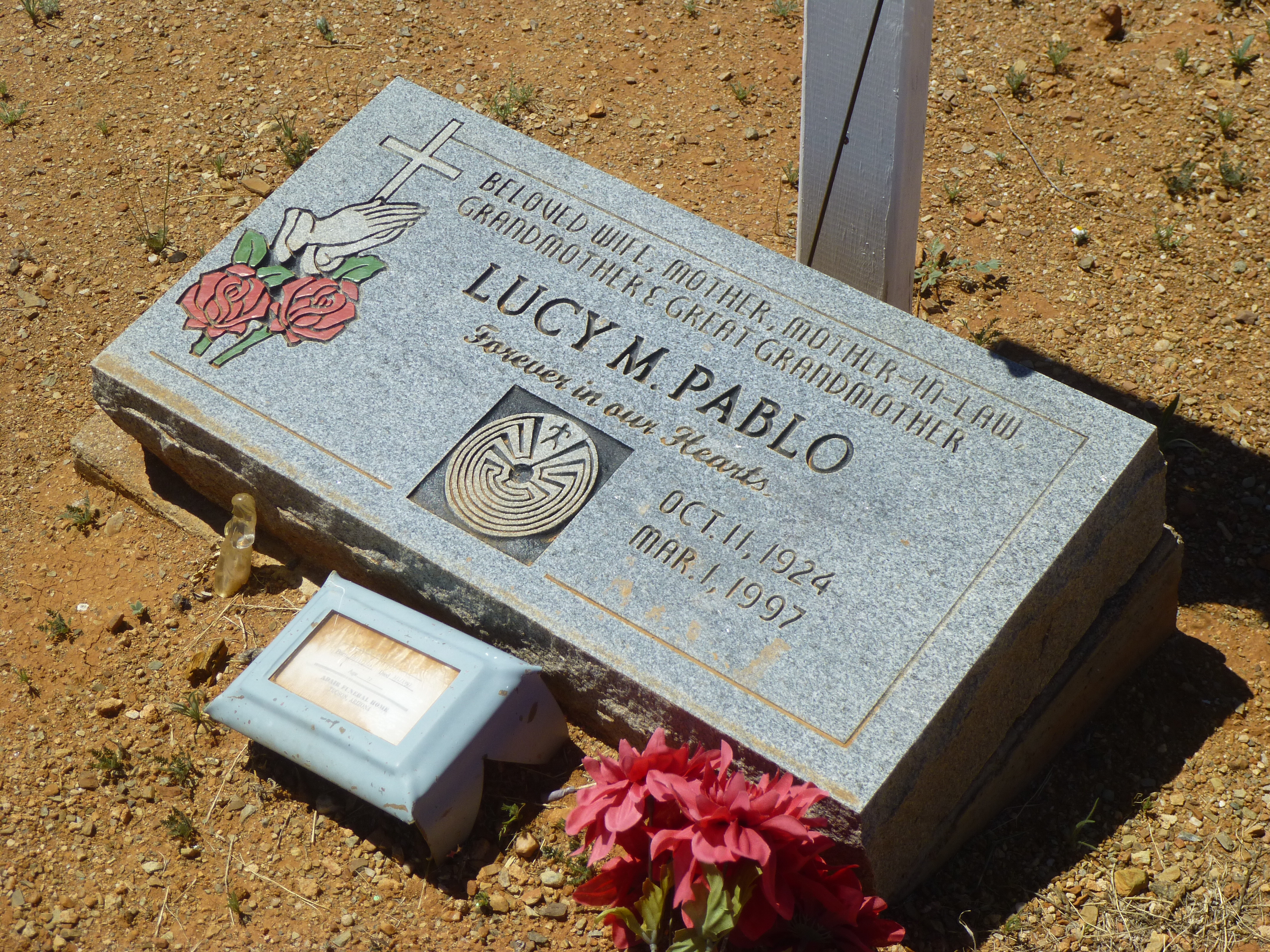
Man-in-the-Maze
My visit to this cemetery seemed the perfect ending to 30 years of memories in these Comobabi ranges – paying respect and giving thanks.