
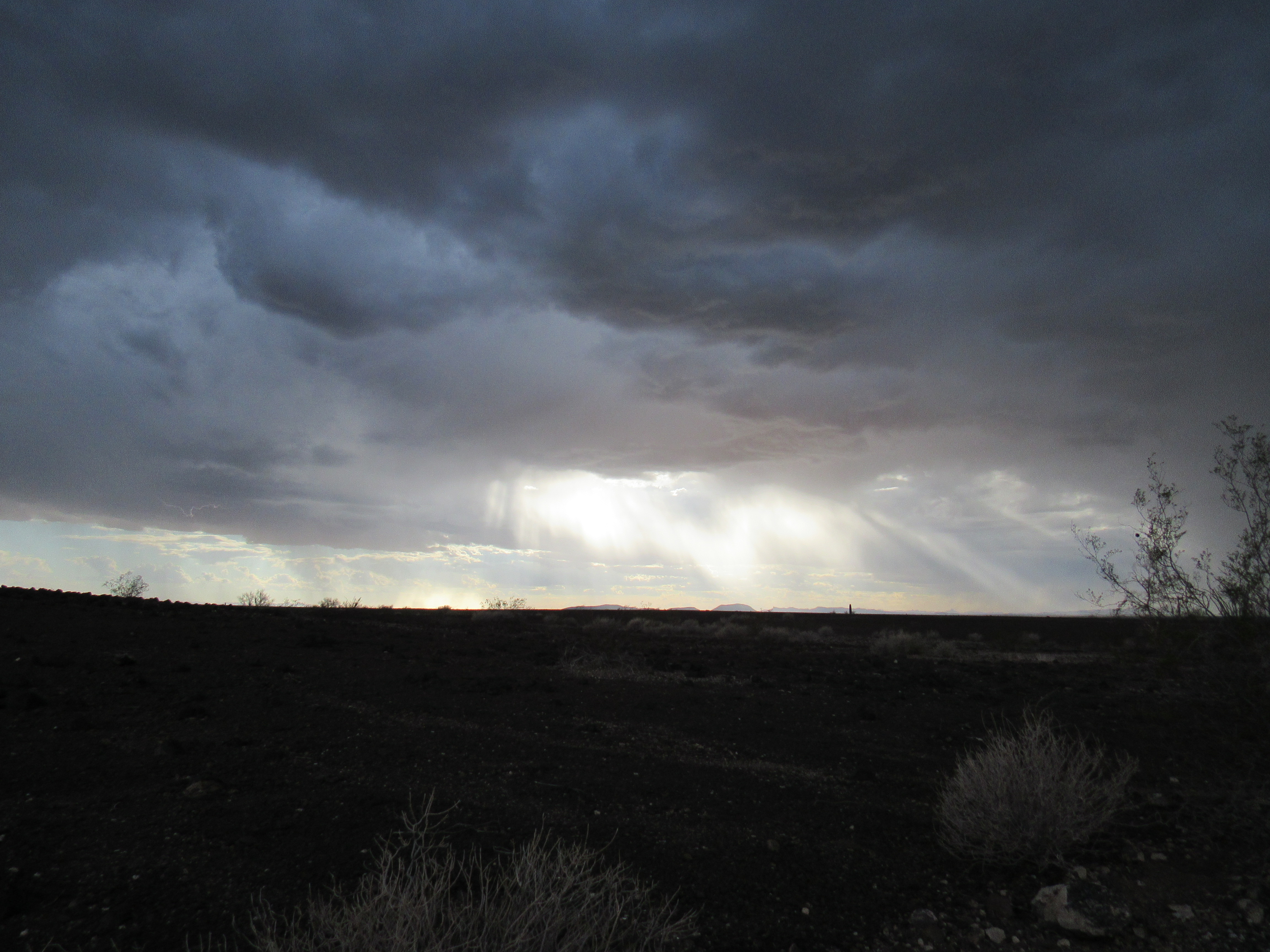
One fine October day, I decided to go explore an area in the western end of the Gila Bend Mountains. It was 165 miles of easy driving on good roads to get there, which isn’t much in the grand scheme of things, but even so it was late afternoon by the time I approached my destination. Stormy weather forced me over to the side of the road for a bit, and I used the excuse to phone home. The clouds were low-bellied and brooding.
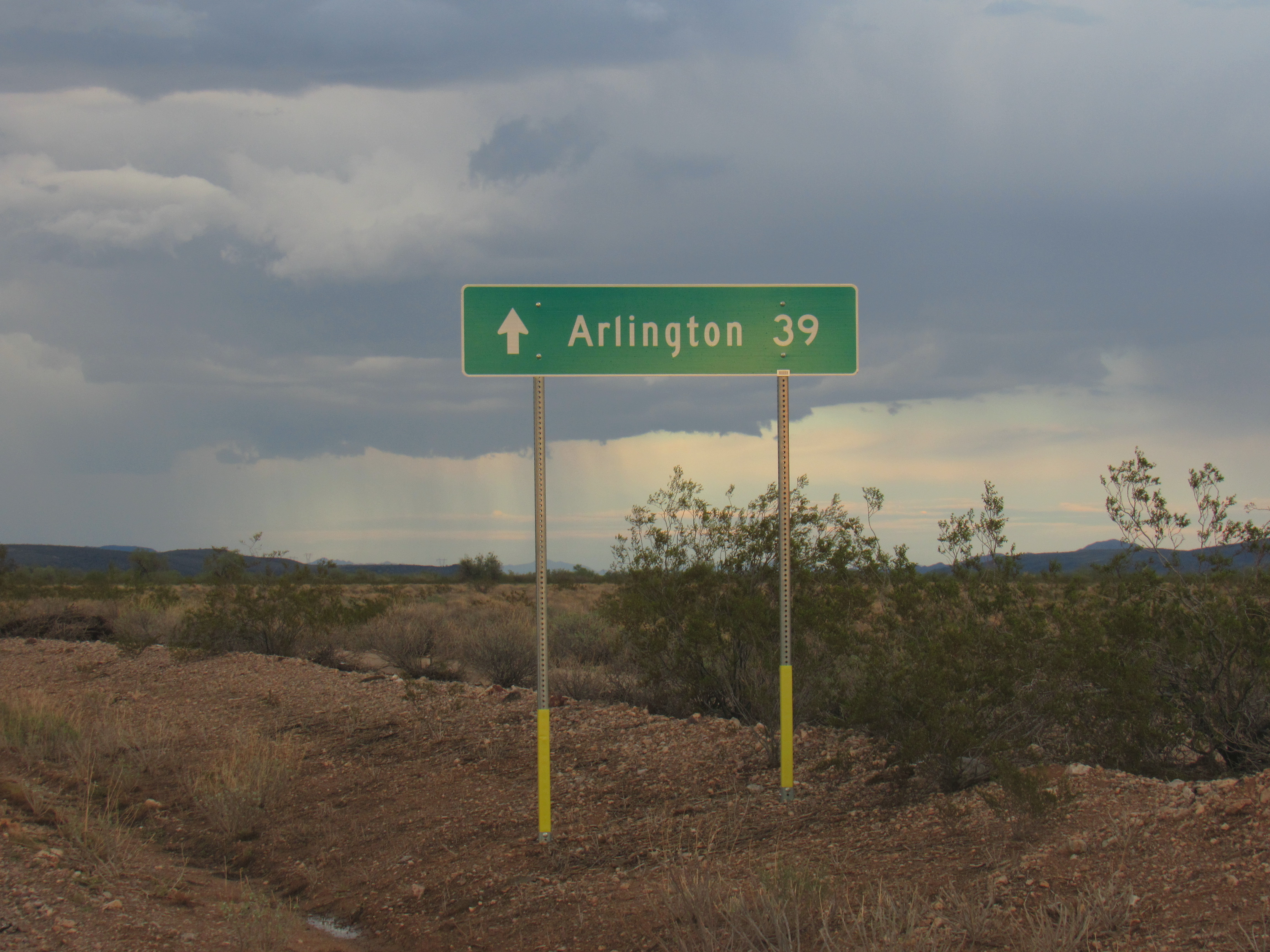
As things began to clear, I moved on, soon reaching a branch of the Southern Pacific Railway. The odd thing about this 100-mile long stretch of track is that it is abandoned. This occurred after a derailment on October 10, 1995 – coincidentally, 23 years to the day that I was now passing by. An act of domestic terrorism was responsible for the fatal wreck, and you can read all about it here. All those miles of track still sit there, though, and there are only a few places to cross this rather imposing barrier. After several miles of travel parallel to the track, my chance came at a spot known to locals as the start of the Agua Caliente Road. Over I went, then north through miles of irrigated agricultural land. As I was leaving all of that behind, this sign greeted me.
Those would have been 39 miles of dirt road, in places quite remote, but I only needed to travel 3 of them before I pulled off and found a quiet spot in which to camp. One curious thing happened soon afterwards, though. At around 7:30, SpaceX launched a Falcon 9 rocket from Vandenberg Air Force Base in California – its first stage then successfully returned to its launch site. Although that place was over 300 air miles from my campsite, I could plainly see the glow of the rockets – very cool stuff. I was also treated to one of our amazing desert sunsets.
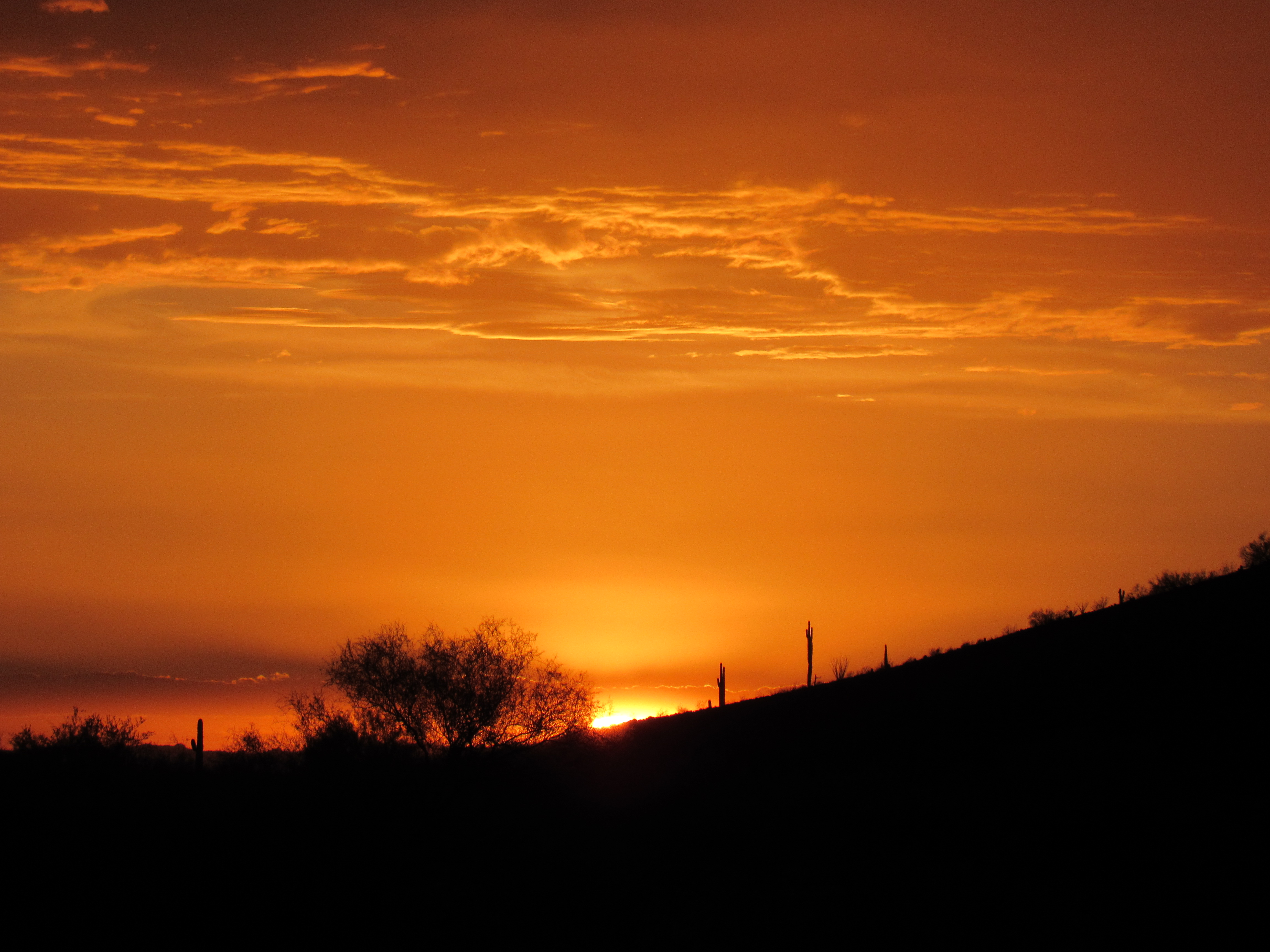
Sunset
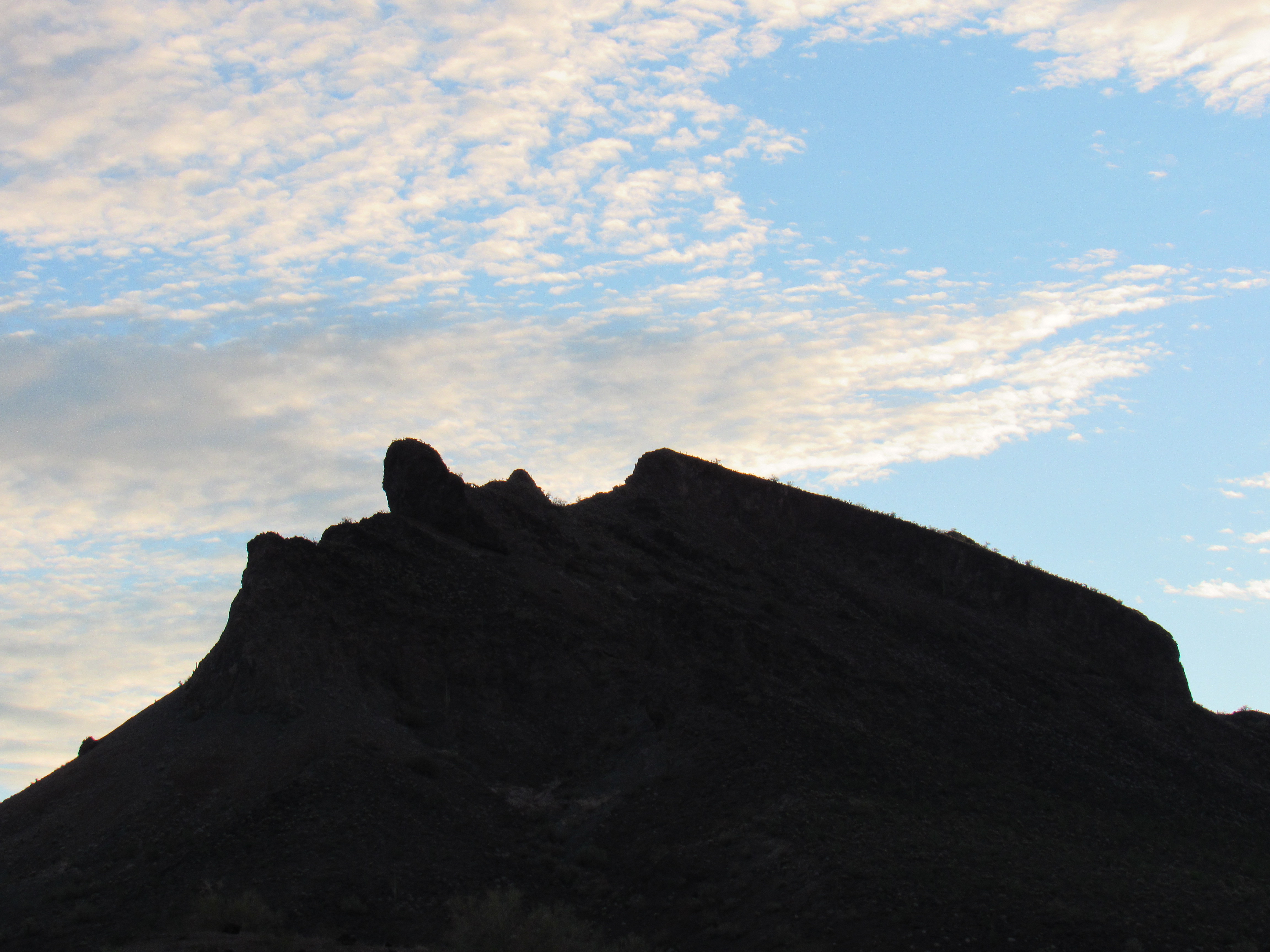
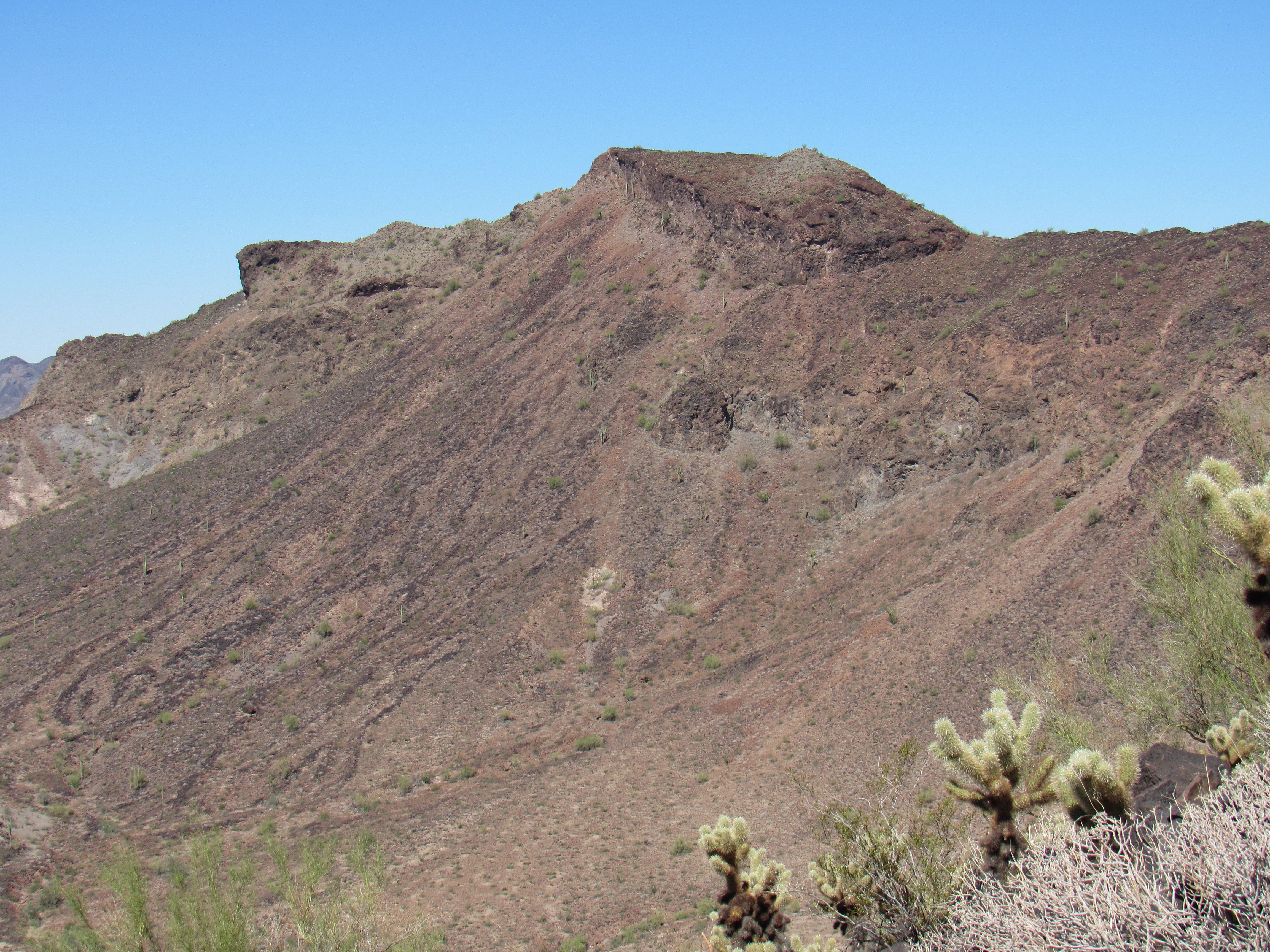
The mountain I had come all this way to climb had a curious name – Face Mountain. Unusual, to say the least. As I had approached it in the waning hours today, it became apparent why it was so called. There is a feature on the mountain called Montezuma Head, and from the right angle it’s easy to see why the name.
Montezuma Head
By now, I had it all figured out – Montezuma Head had a face, therefore Face Mountain. Mystery solved!
Early the next morning, long before sunrise, I was on the move. As I approached it, I had this great silhouetted view of the head – if anything, it was even better than the evening before.
As I started to climb up from the desert floor, the far western edge of the Gila Bend Mountains was catching the first rays of the sun.
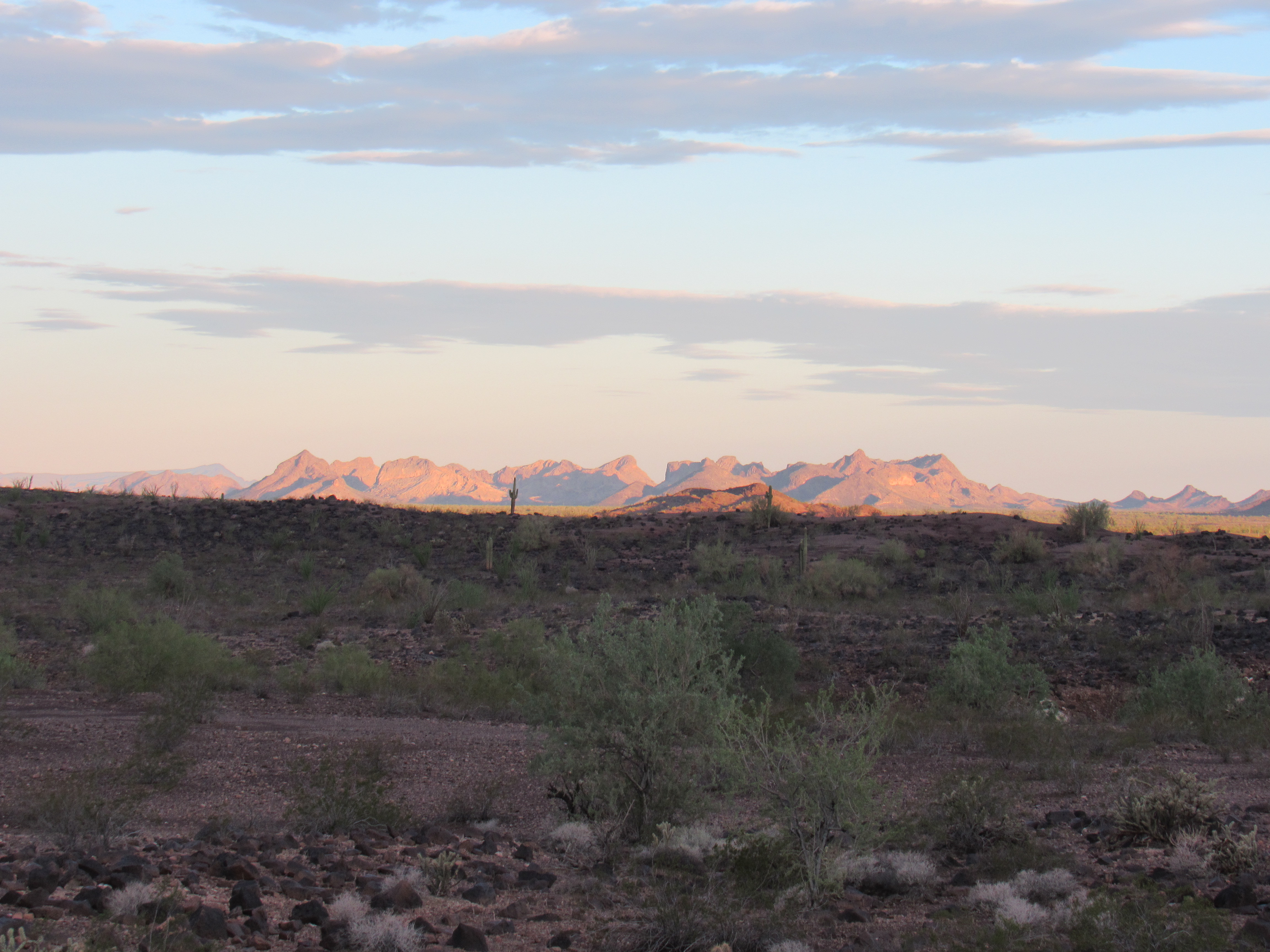
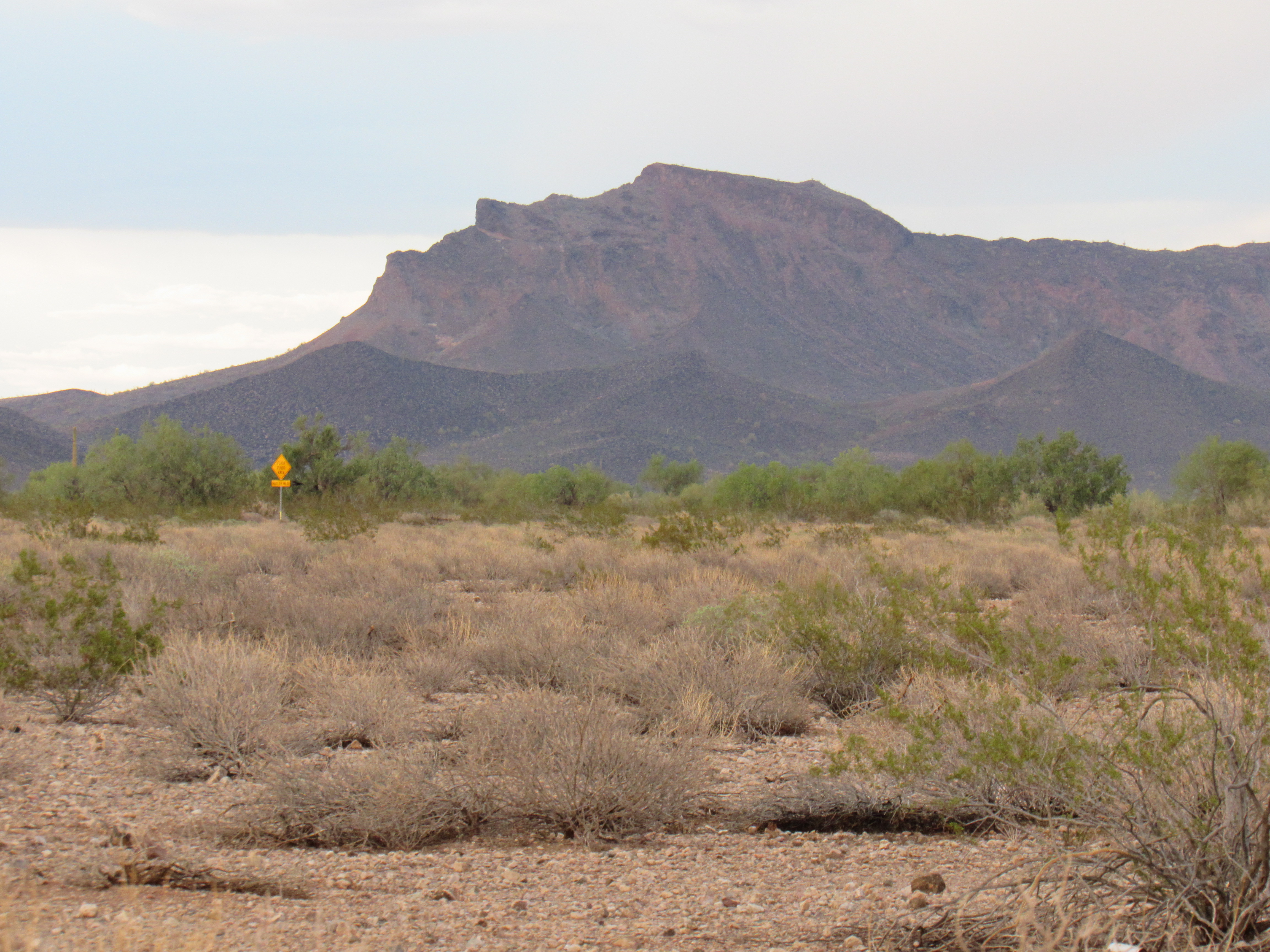
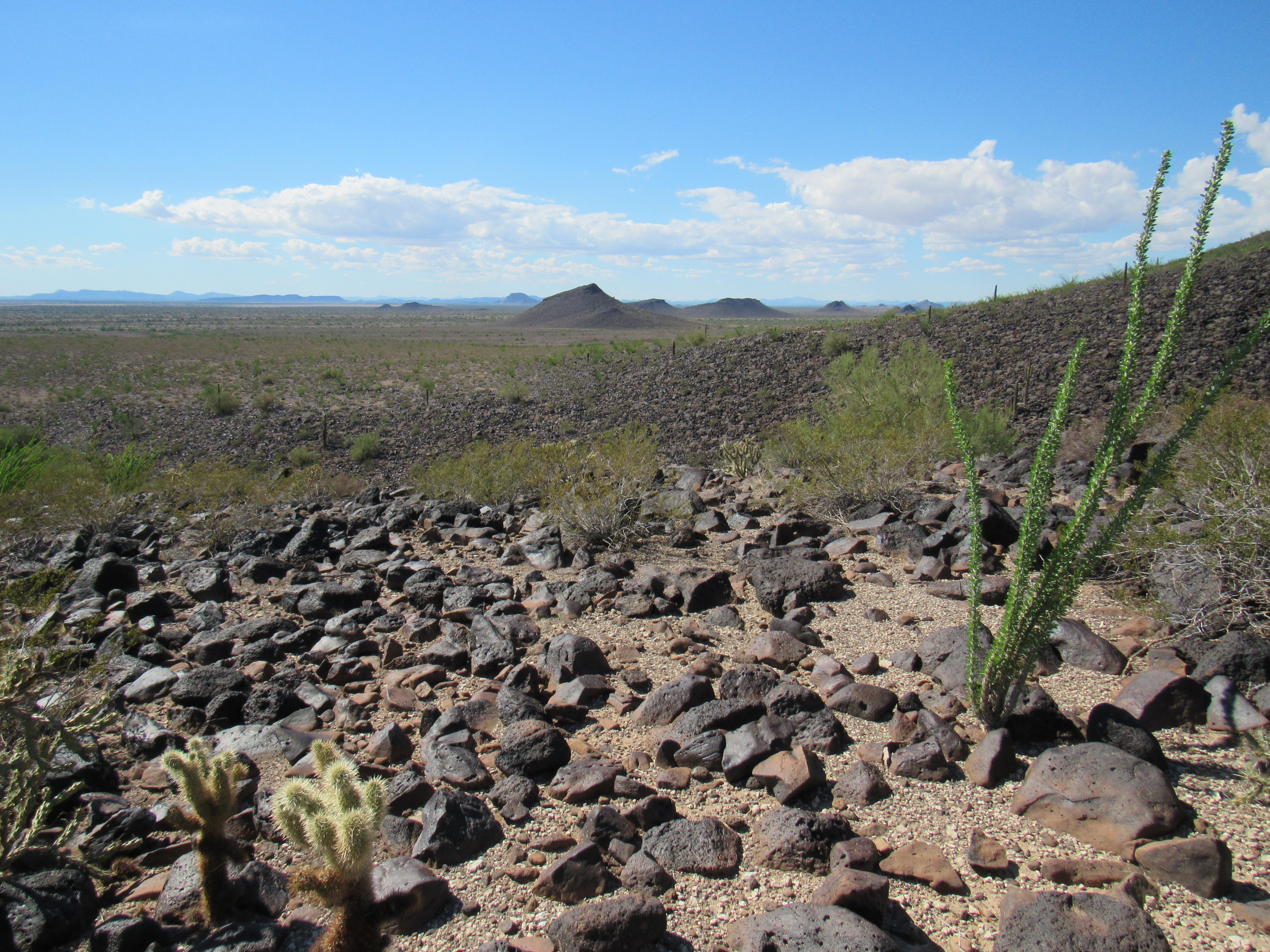
Looking northwest to the Picacho Hills and the Clanton Hills
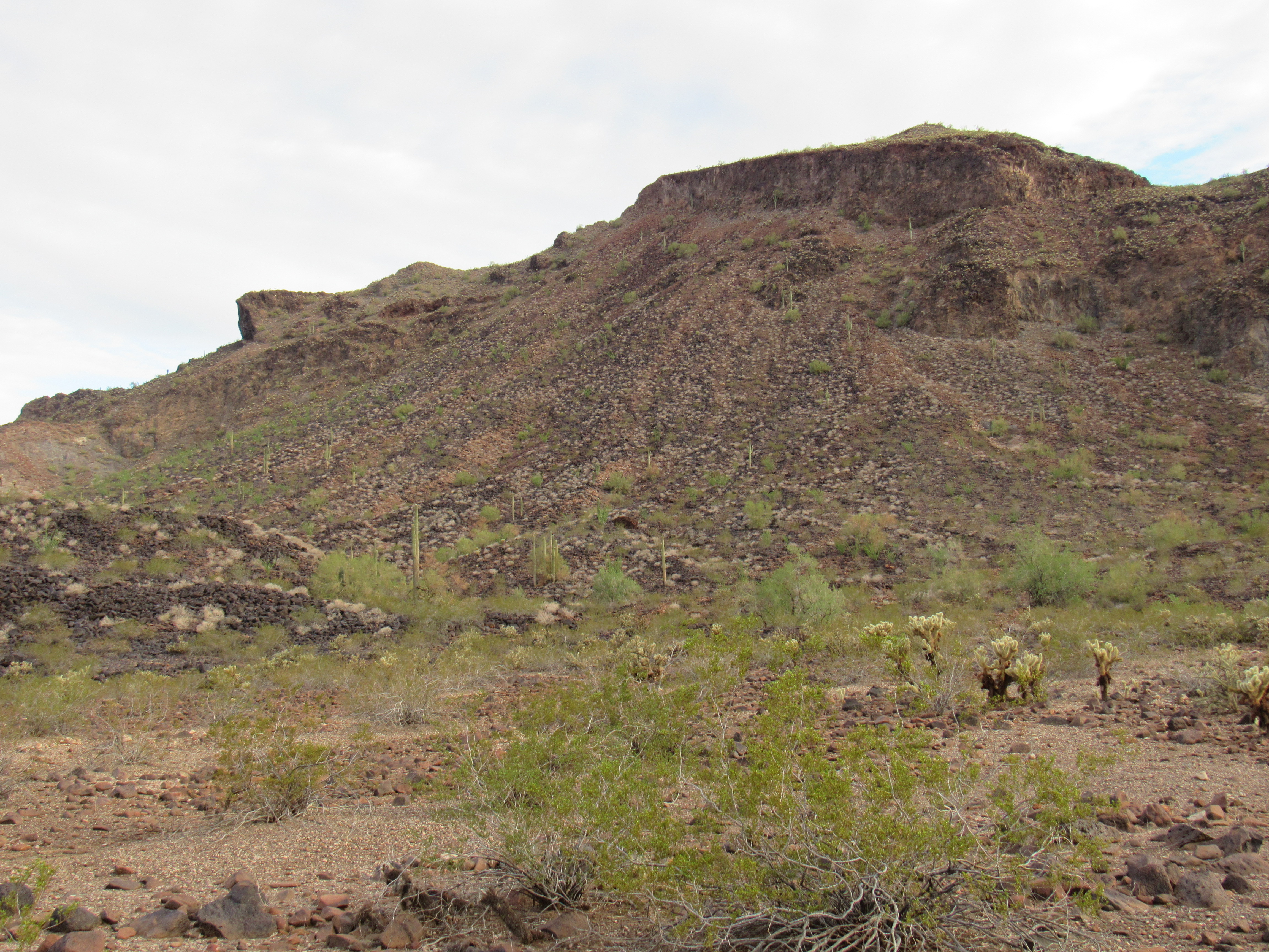
An impressive feature of Face Mountain is its size, almost 7 miles from one end to the other. My goal today was to merely scratch the surface, to touch its northwest corner. Approaching the highest parts of the massif from the west, I was forced to travel around some hills that were in the way. That is to say, I had to go around them either on their north or south side. I’m talking about Points 1202 and 1241, and I made the decision to go north. In retrospect, that was probably a mistake, as it forced me into some tumbled country, making me cross over a series of small ridges which swept directly down from Montezuma Head. Oh well, live and learn – all it cost me was a bit of time and some extra climbing. I crossed right over a small bump, 1122, then dropped down into a flat area surrounded on all sides by higher ground. From this depression, you couldn’t see out any distance at all. If I had gone around 1202 and 1241 on their south side, this is where I’d have ended up in the first place.
I’m not looking to destroy the illusion, but from here Montezuma Head was changing its aspect.
Another view of the Head
Some travel up a gully, about 350 feet of climbing, took me to a wide saddle shown on the map as 1,312 feet elevation. By the time I arrived, I was sweating like Elvis at a breakfast buffet – recent widespread rains in the area had left a high dew point, and it was noticeable. At this point I was 2 hours on foot, and it was time to get serious.
My most immediate goal was to stand atop Face Mountain’s north peak, at 2,066 feet the highest thing for miles around. It took about an hour to do an ascending traverse from the saddle up the 750 vertical feet of mostly black, volcanic talus to reach the top. Here’s a view of it from the south, taken later in the day.
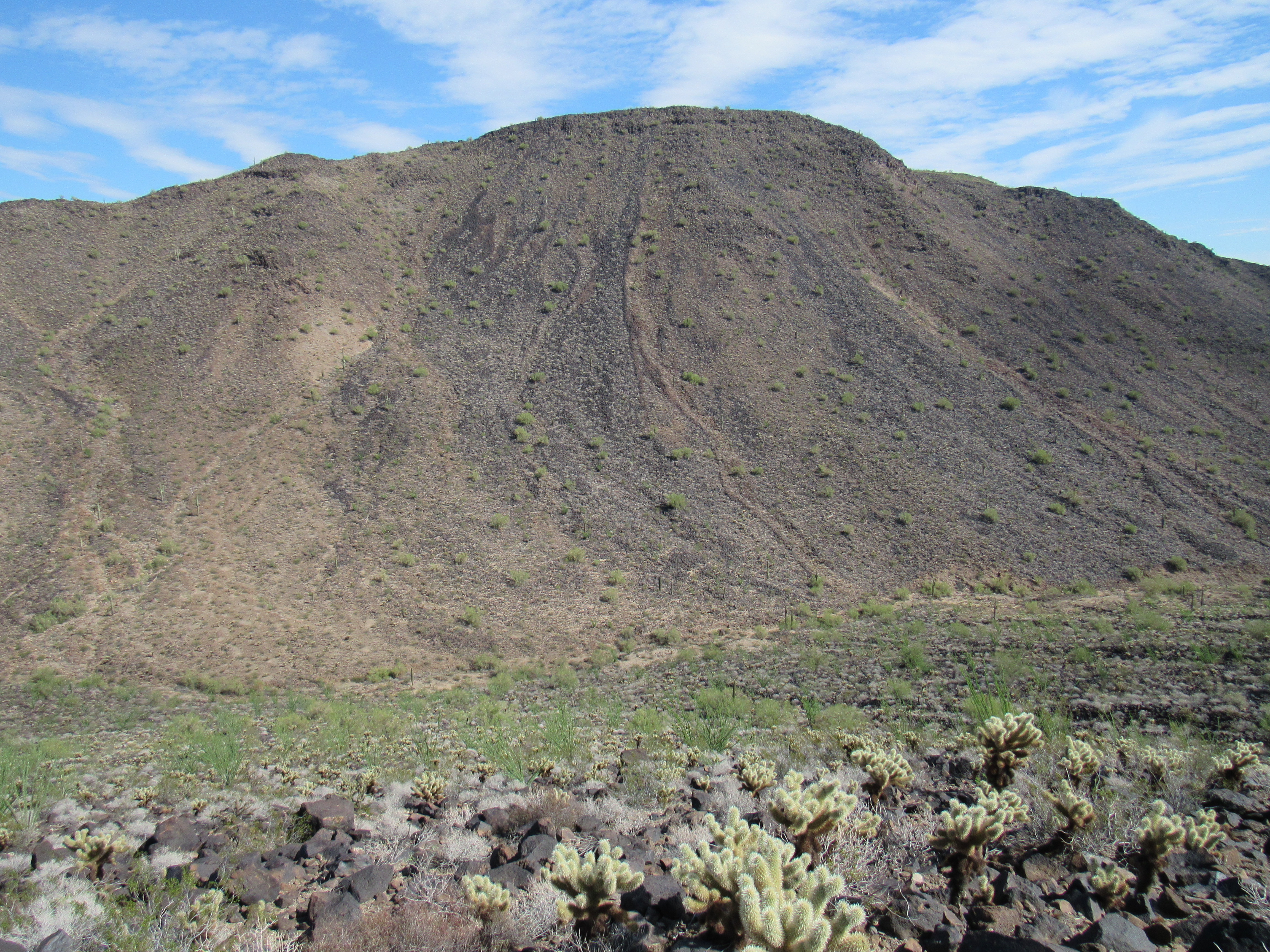
Face Mountain, north peak
On top, I quickly found one of Richard Carey’s distinctive red-can registers with 16 entries.
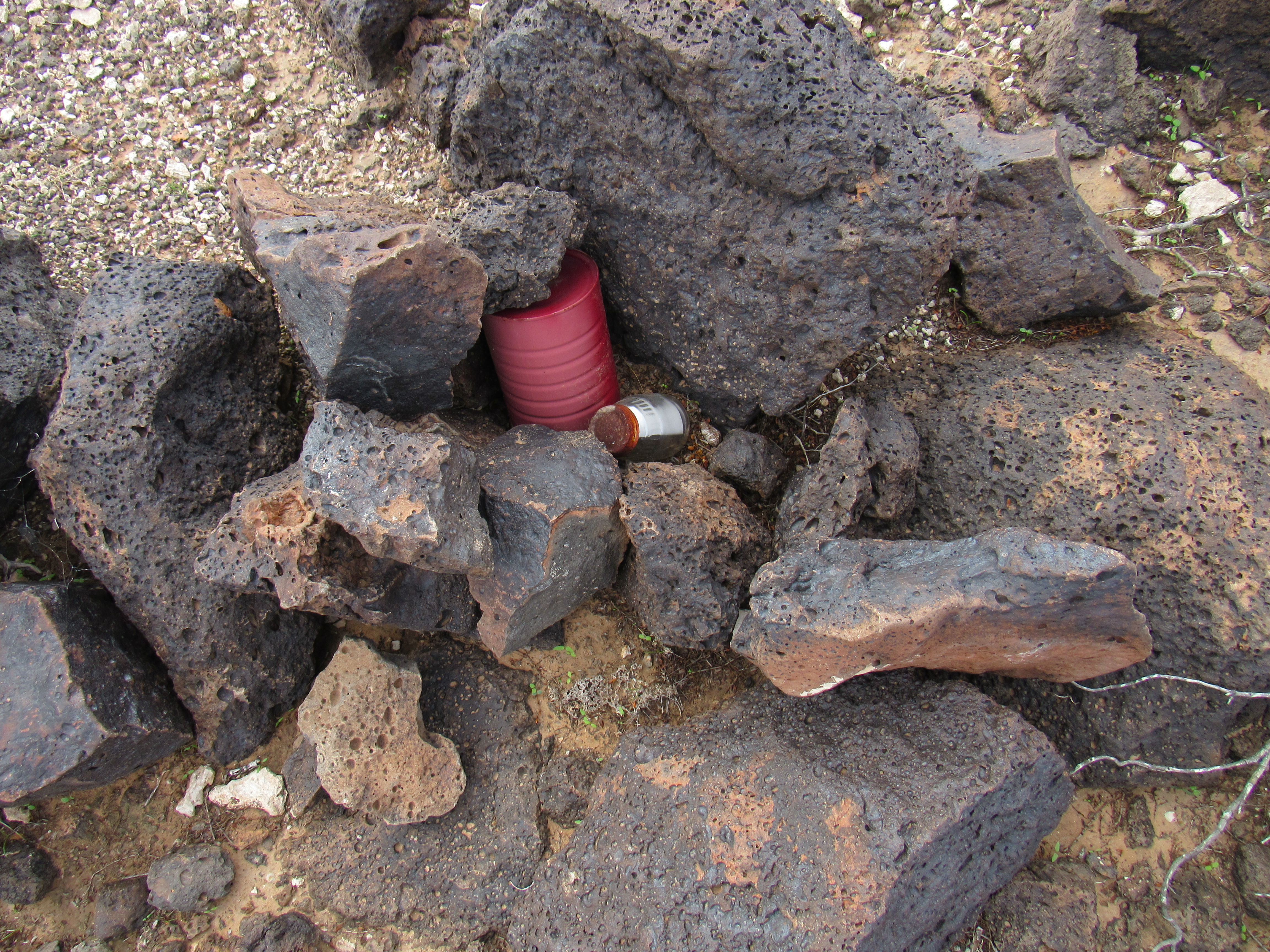
The register
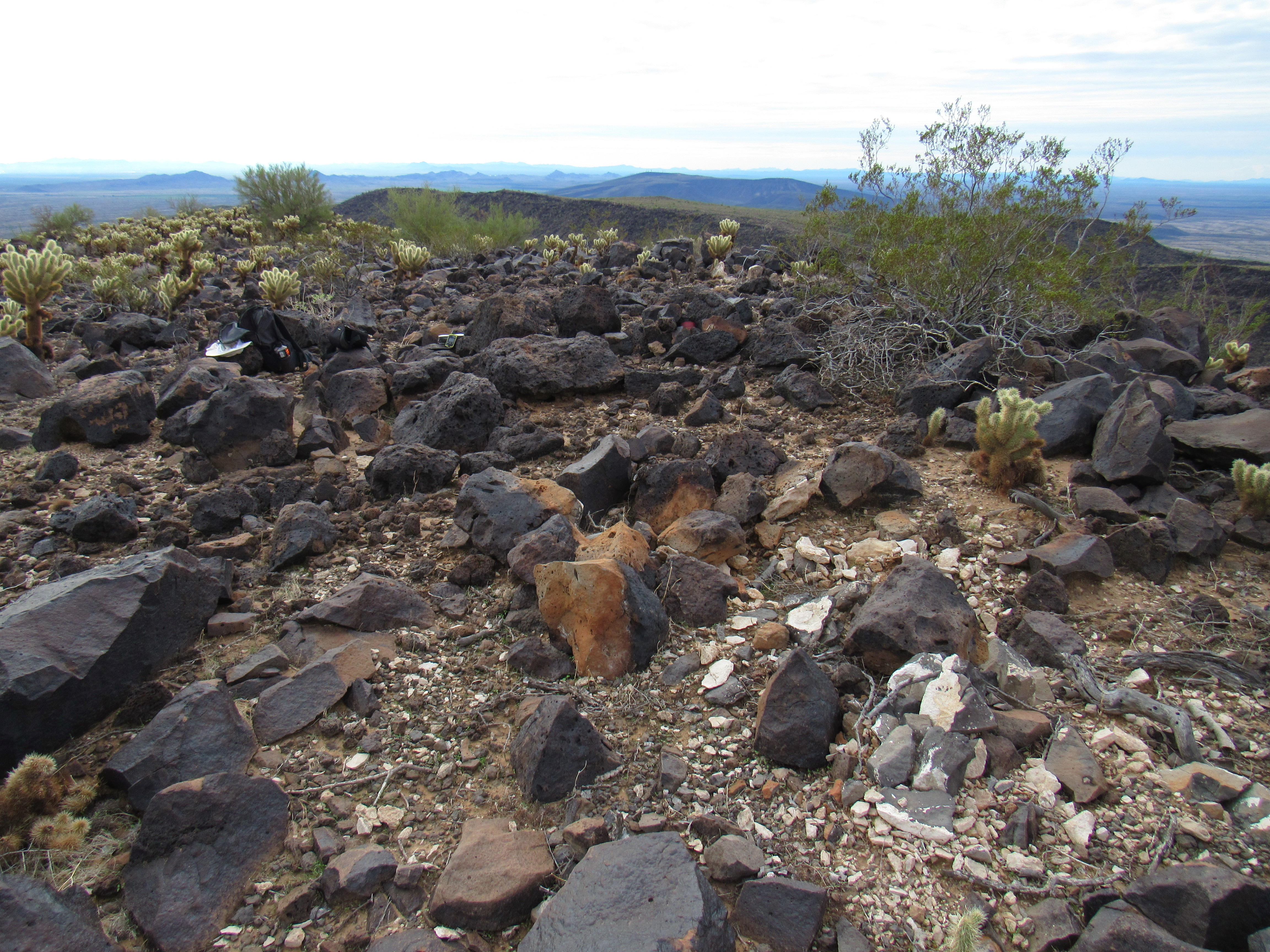
The summit itself was much like countless others in Arizona.
The most recent entry was from about 2 years earlier, so it could be safely argued that this peak isn’t on the radar of too many peakbaggers. I signed in, put things back as I’d found them, then retraced my steps down to the saddle. Once again, there was good old Montezuma, taking it easy.
Montezuma, resting
I had set aside the whole day for playing out here, so the logical thing to do next was to climb Face Mountain’s south peak. It sat directly above the saddle I now occupied, 700 feet higher, so away I went. An earlier cloud cover had pretty much burned off by now, leaving me with blue skies. As I climbed, I came across a pack rat nest, a common sight in our Sonoran Desert. This one was huge, over 15 feet across. How those little guys can safely move thousands of pieces of cholla cactus and pile them around the entrance to their tunnels without injuring themselves is a mystery I’ve never solved. Even the tiniest bit of cholla, especially the teddy-bear variety, can really play hell with our delicate human flesh. See all the stuff between the rocks in the middle of the photo, the dirty golden color? That’s the cholla. You need to walk around this stuff, it can be several inches deep.
The pack rat nest
I carried on to the top of the south peak where I found the register, this one with 12 entries, the most recent only 8 months old. As I read those entries, some of them from as early as 1988, something curious came to light – back in the day, this south peak was believed to be higher than the north. It’s likely that the discrepancy arose from earlier map data, corrected in a later edition. This forced some of the earlier visitors to return and climb the now-higher north peak.
There was a benchmark named Montezum on this mountaintop. I didn’t find it, mostly because I didn’t spend much time looking, but the latest register entry was fascinating. It described having found the 1925 brass survey disc, but instead of the usual accompanying witness discs, this benchmark boasted something quite unique – crosses cut into the solid rock. I actually found one of them – very cool indeed.
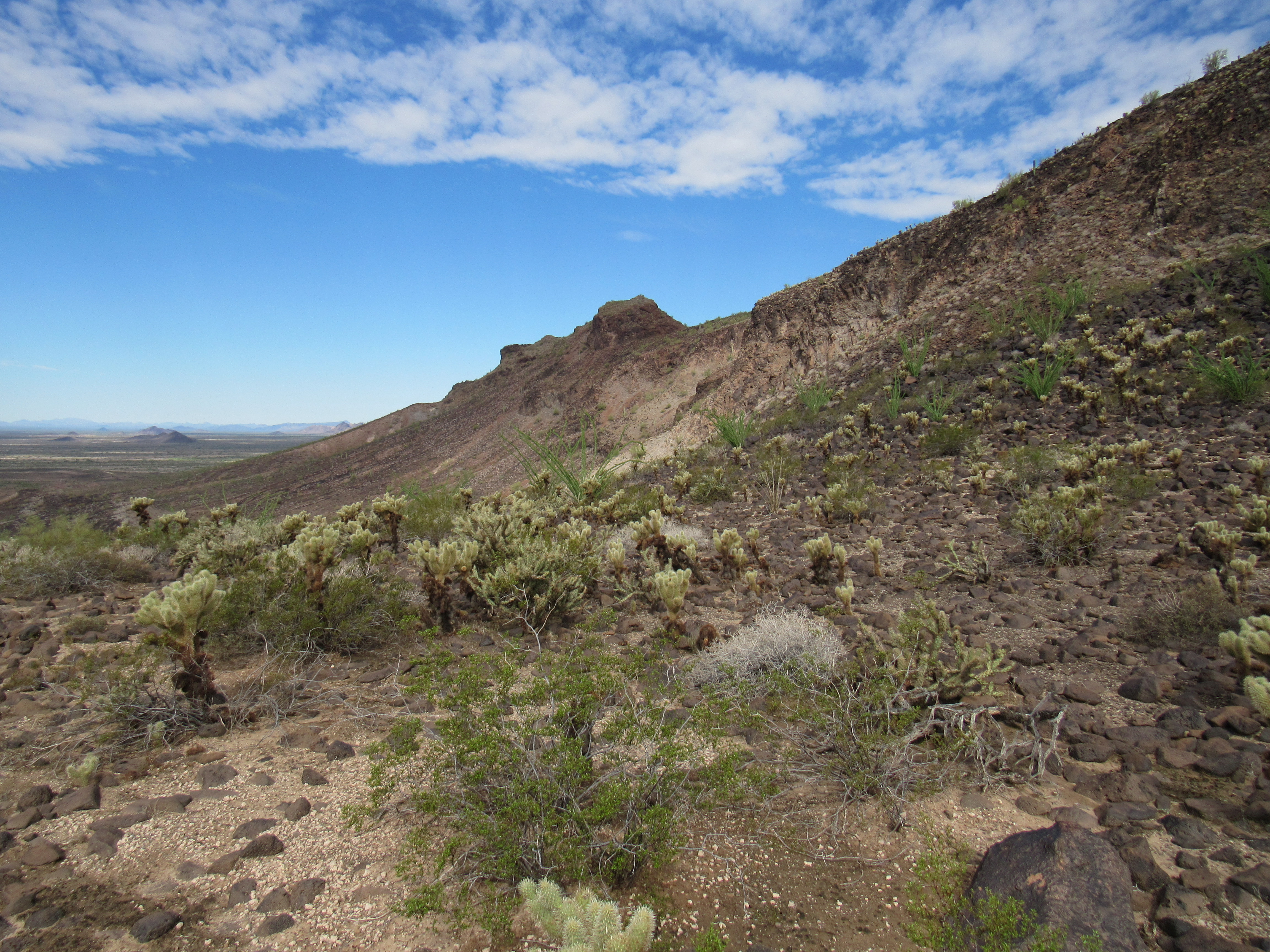
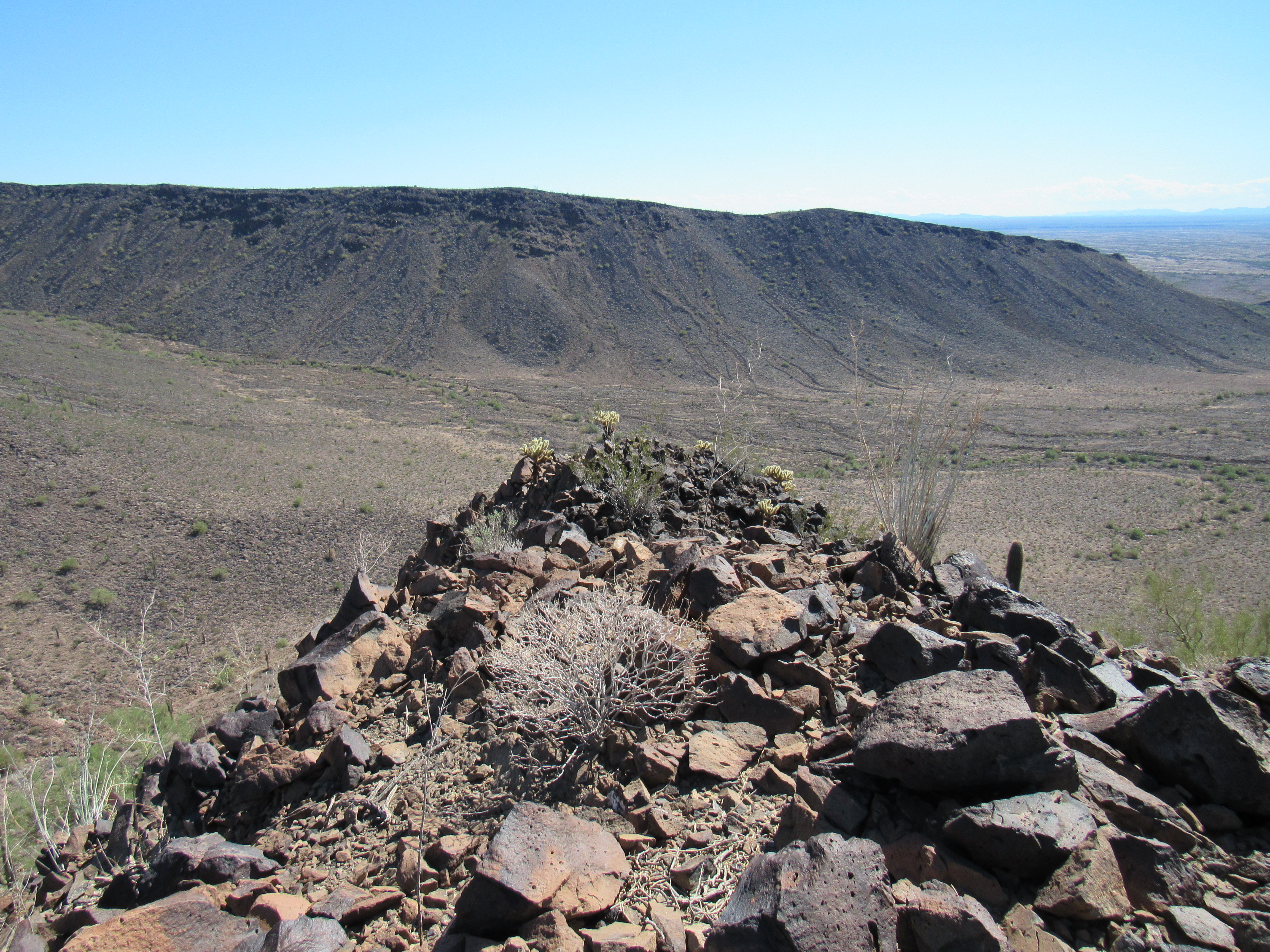
It was almost noon when I left, moving west along the corrugated ridge until reaching a gap in the cliffs. This allowed me an exit, but as I dropped down the northwest ridge I found things to be looser than expected. I slipped a few times, cursing my carelessness – it was time to slow down and finish this in one piece. My perspective of the face had changed once again.
There was one more task to complete, and it was staring right at me – it’s the dark peak on the left side in the next photo. In order to approach it, I had to drop down a good 800 feet before I could make my way over to its connecting saddle.
The last peak
Once down, I contoured across the slope to gain the south ridge, then up I went to the top of Peak 1441. This one had me excited, as I didn’t know of anyone else who’d been up it. As I walked the last few feet, I did as I always do – looked for a cairn. Hmm, there’s something – is that one? Yep, sure is – someone has been up here all right. Let’s poke around inside it. Sure enough, a glass jar with paper inside it. I open it up and read it. My old friend Richard Joseph and his buddy Art Tauchen were here 2 1/2 years earlier and had left their mark. Oh well, at least I was in good company as I signed in.
The summit of Peak 1441
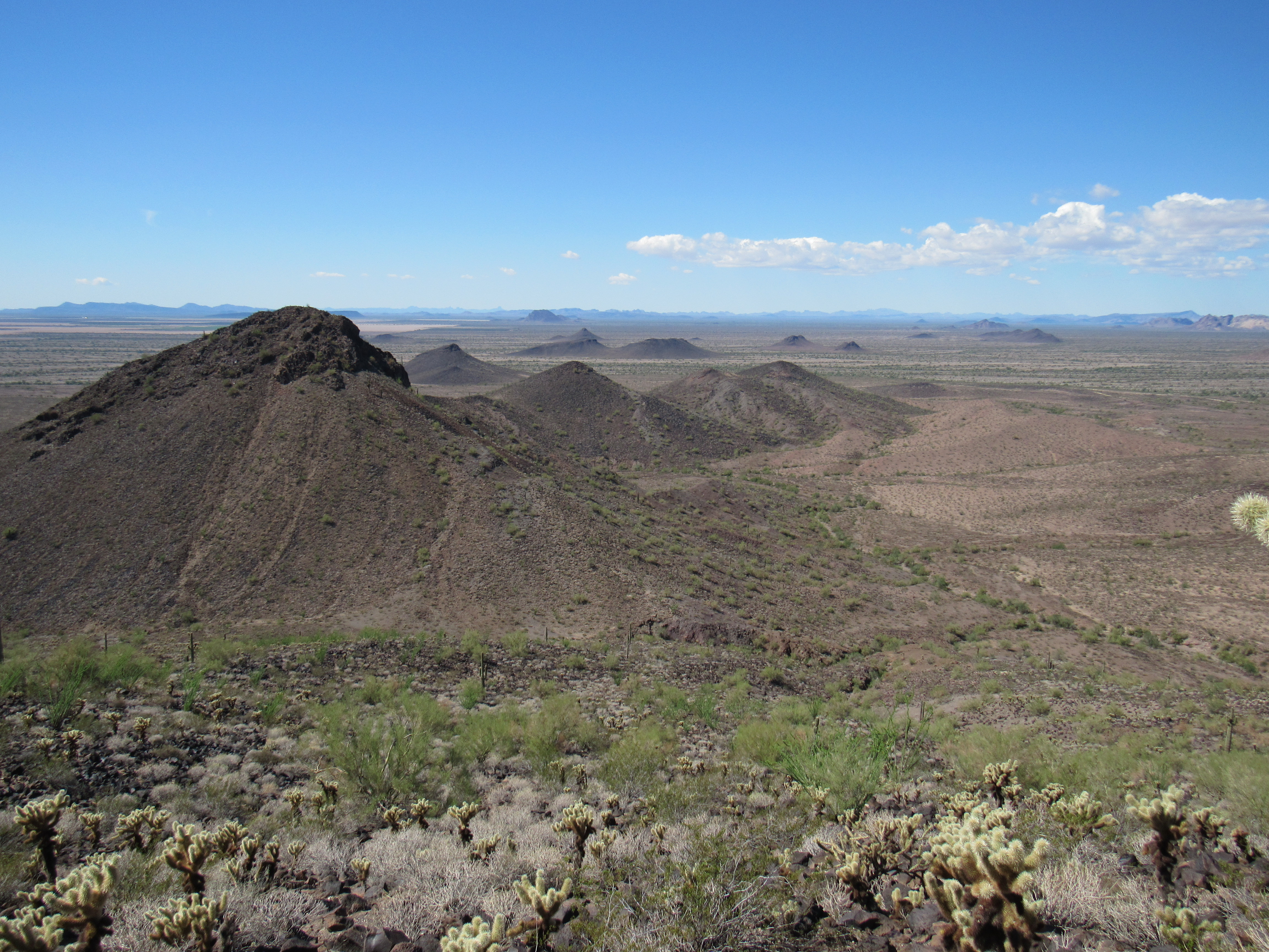
It was now 1:30, and time to move on – this was the home stretch. Remember how early in this piece I mentioned the 2 hills I had to get around, 1202 and 1241? Well, I still needed to do that. From atop this last peak, I had a great view of them both. They sit in the middle of the next photo, running from the center to the upper right. I was going to go around them to the left. Oh, one more thing I’ve shown in this photo – see the little yellow mark near the top center of the image out in the flat area of desert. That’s where my truck was waiting.
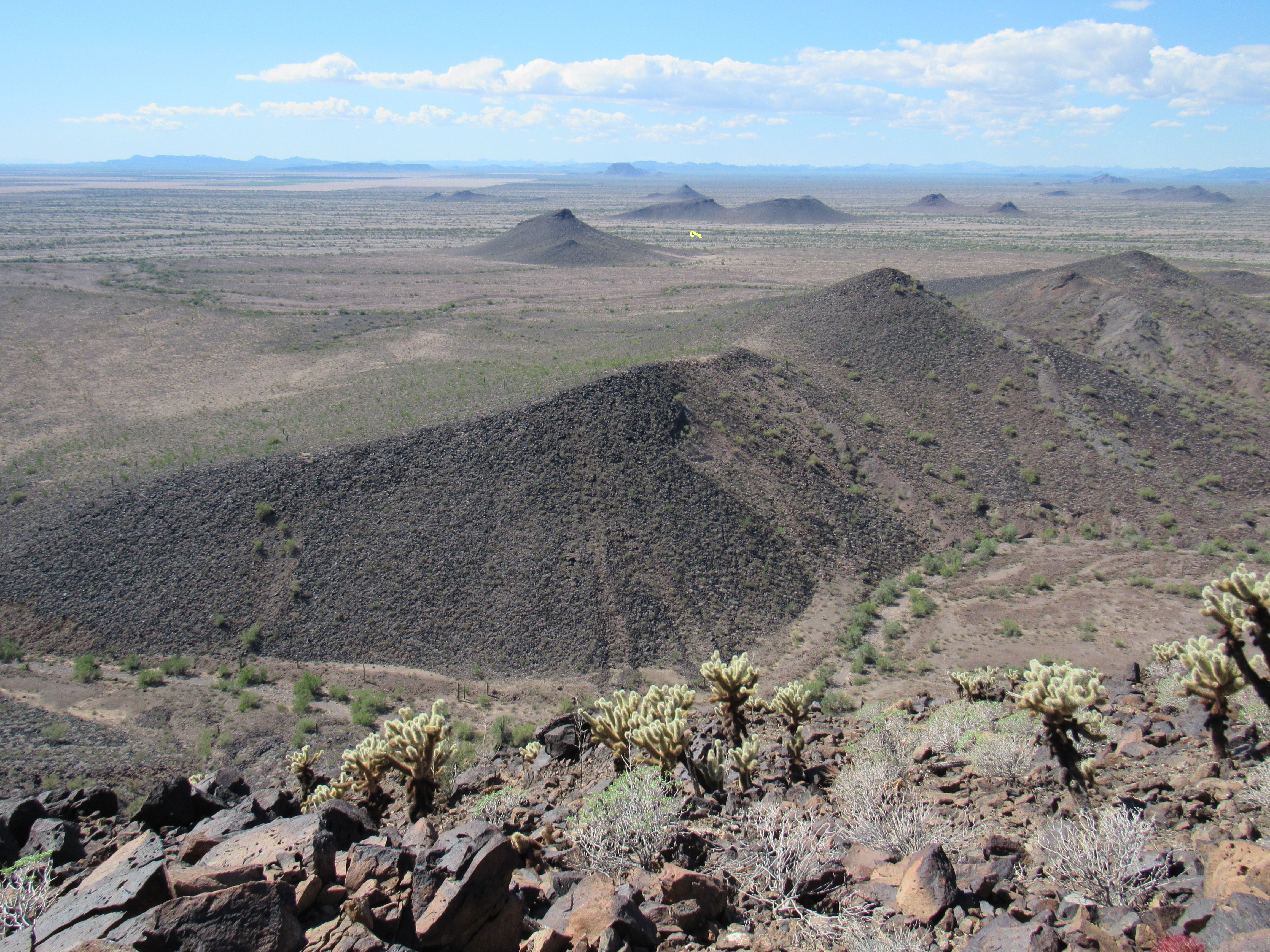
I dropped 600 feet down the southwest ridge to the desert floor. Here’s a look back up at where I’d just been. Peak 1441 is on the left; on the right, we see Face Mountain’s south peak.
The last 2 peaks
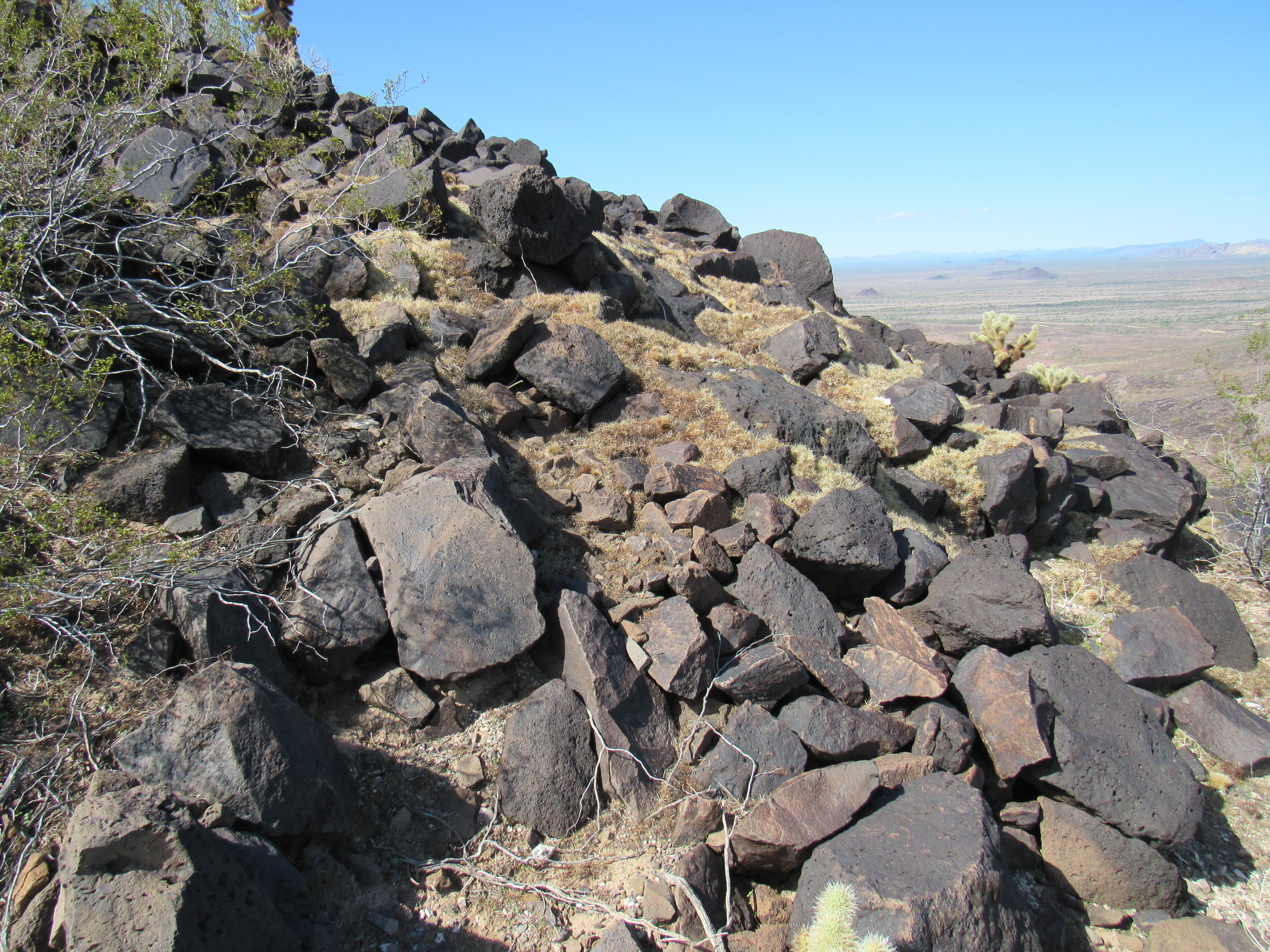
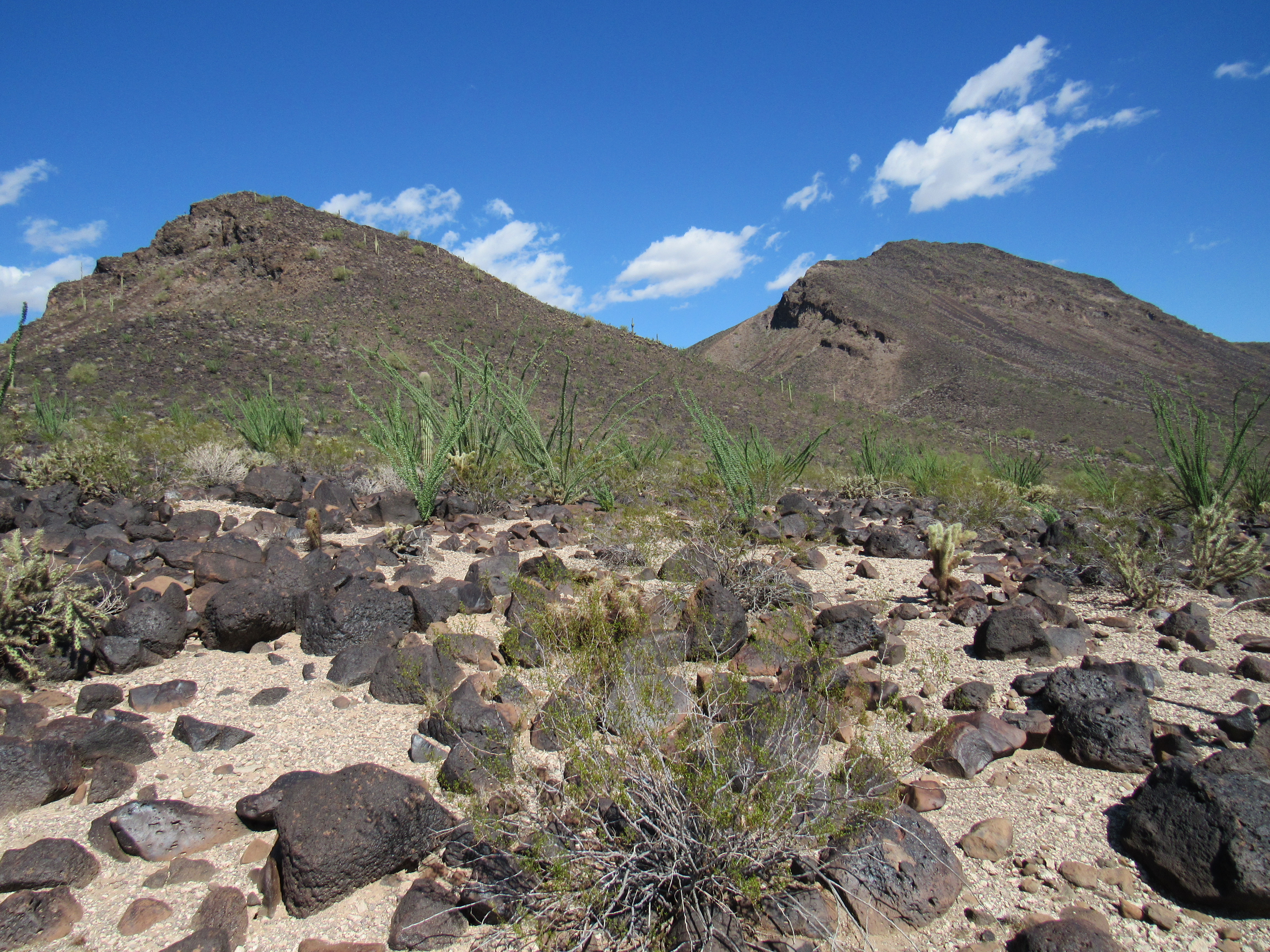
It wasn’t a walk in the park, as the ground was covered with ankle-twisting rocks and furrowed with plenty of gullies.
Miles of rocks
It was just a matter of putting my mind in neutral and one foot in front of another, but 9 hours after setting out I walked up to my truck. My feet were sore, but a cold beer helped ease the pain. The mystery of Face Mountain had been solved.