
Our spectacular month of May continues. Today our high temperature was only 79 degrees, while the normal is 93 degrees. The record high for the date is 110 degrees, so 79 is like we died and went to Heaven. I had to go and climb something – this might be my last chance before the punishing summer heat arrives here in the desert. So many choices here in Arizona, it’s hard to pick one – Saddle Mountain seemed like it would fill the bill.
When I think of a mountain with the word “saddle” in its name, it conjures up a certain shape in my mind’s eye – a low point with a rise up on either side. It’s a popular word for map-makers in Arizona, appearing no less than 138 times. The list of the types of features using the name “saddle” is quite diverse, as follows: town, subdivision, point, cliff, crater, island, camp, corral, campground, pillar, point, ridge, reservoir, spring, trail, valley and of course, saddle. No less than 15 mountains in the state contain the term “saddle”, and there are 7 Saddle Mountains alone. Today, I would try to climb one of them.
It was a 3:45 AM start. By the time I drove from Tucson, past Oracle, through Mammoth and to Winkleman, then up Piper Springs Road to my parking place, it was 6:50. Where I parked, the wash was wide open and sandy. It wouldn’t stay that way for long.
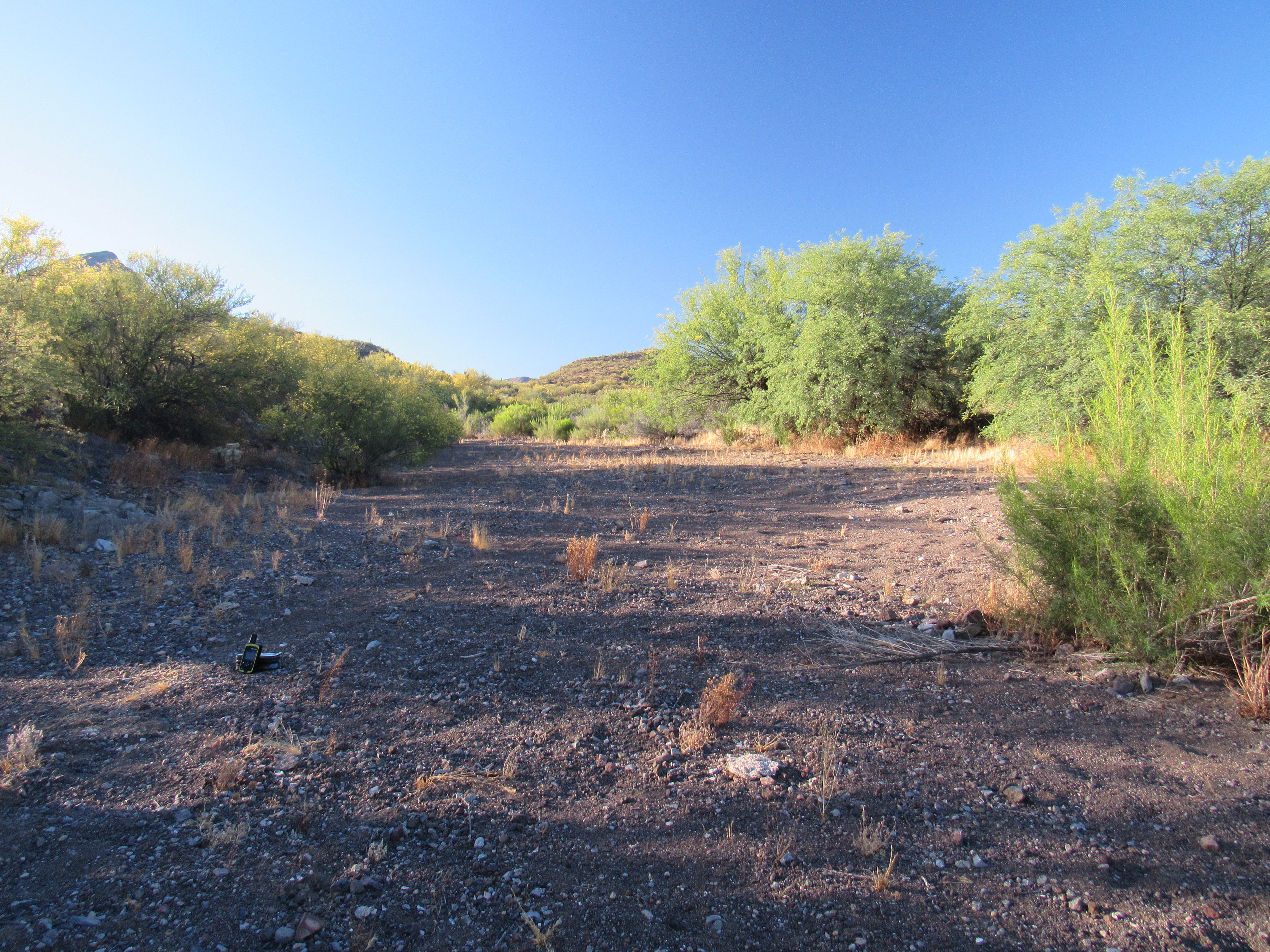
An easy start
One way to climb a mountain is to follow a drainage from the lowlands up to the high country, and that’s what I would do today. Most streams, or washes for us here in the desert, are like the branches of a tree. Small drainages come in from the sides all the way along their length, so when you follow a wash upstream, you need to exercise caution to stay in the right one and not head up a lesser side channel.
My un-named wash, as you can see from the above photo, started off about as gently as can be. Here, the slope was a mere 2.2% – that means that if you walk a horizontal distance of 100 feet, you will climb 2.2 feet. I’ve used detailed maps to come up with these next figures, to plot the slope as it increased as I moved towards the mountain. Using intervals of 200 vertical feet of gain, the slope of my climb up the wash increased to 4.2%, 6.2%, 8.7%, 12.0%, 26.7% and finally 37.7%.
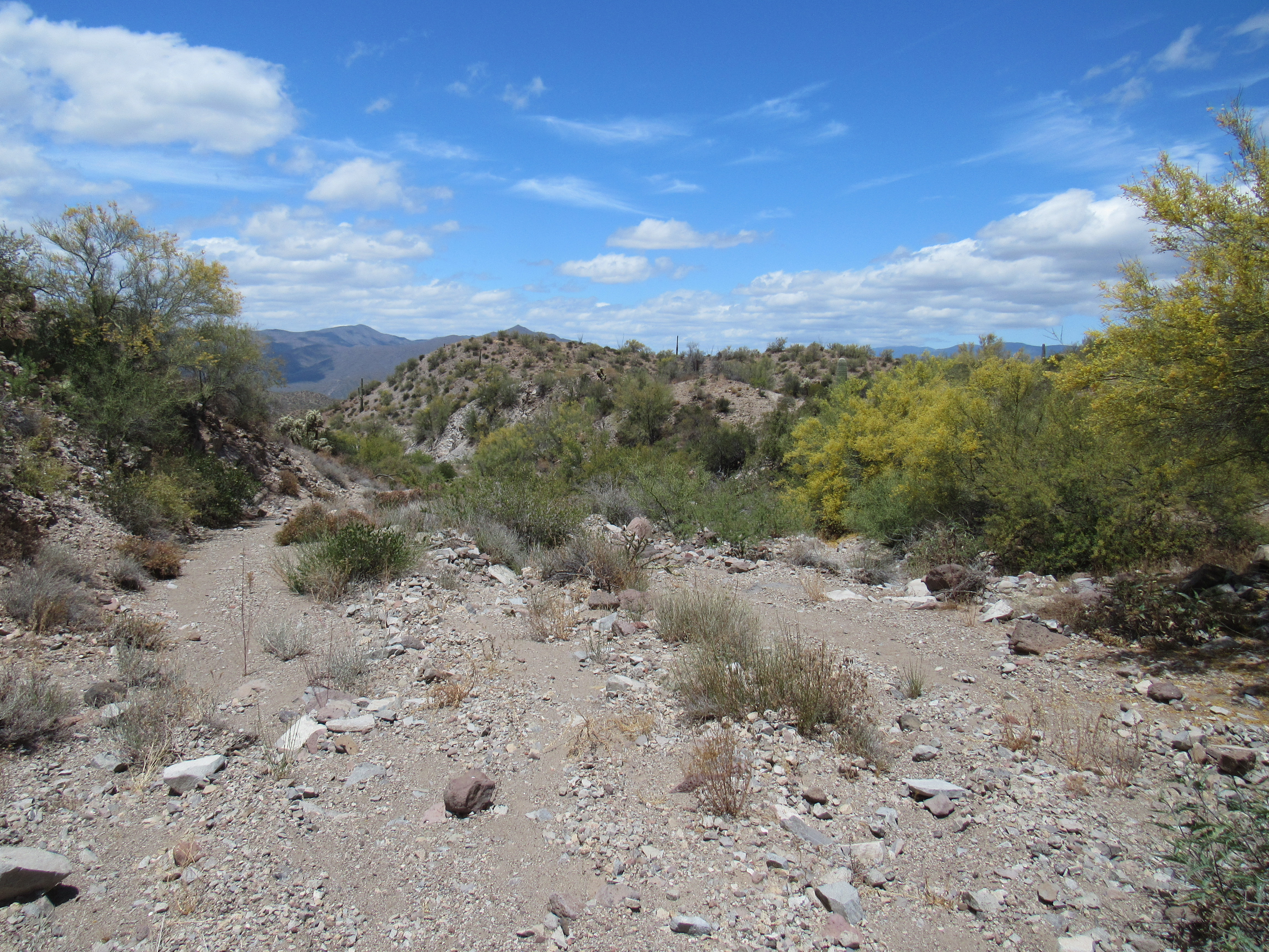
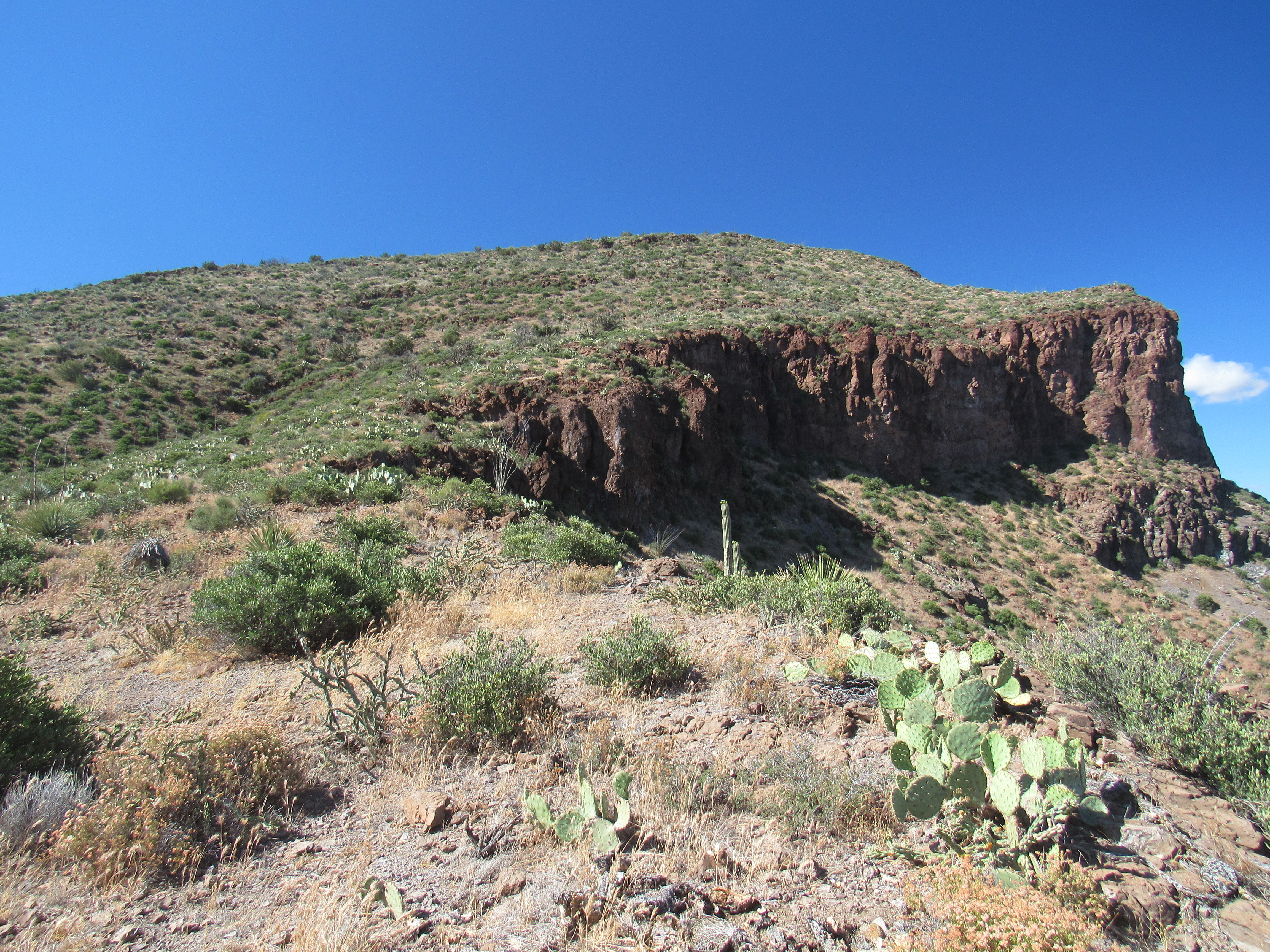
Not quite as nice
The wash narrowed from 100 feet where I parked, to 10 feet one mile later. In a couple of places, I had to walk through hairpin turns, surrounded by high cliffs that towered above me. It wasn’t an easy, open walk either – there was plenty of thorny brush to deal with, but nothing to cause any real delays.
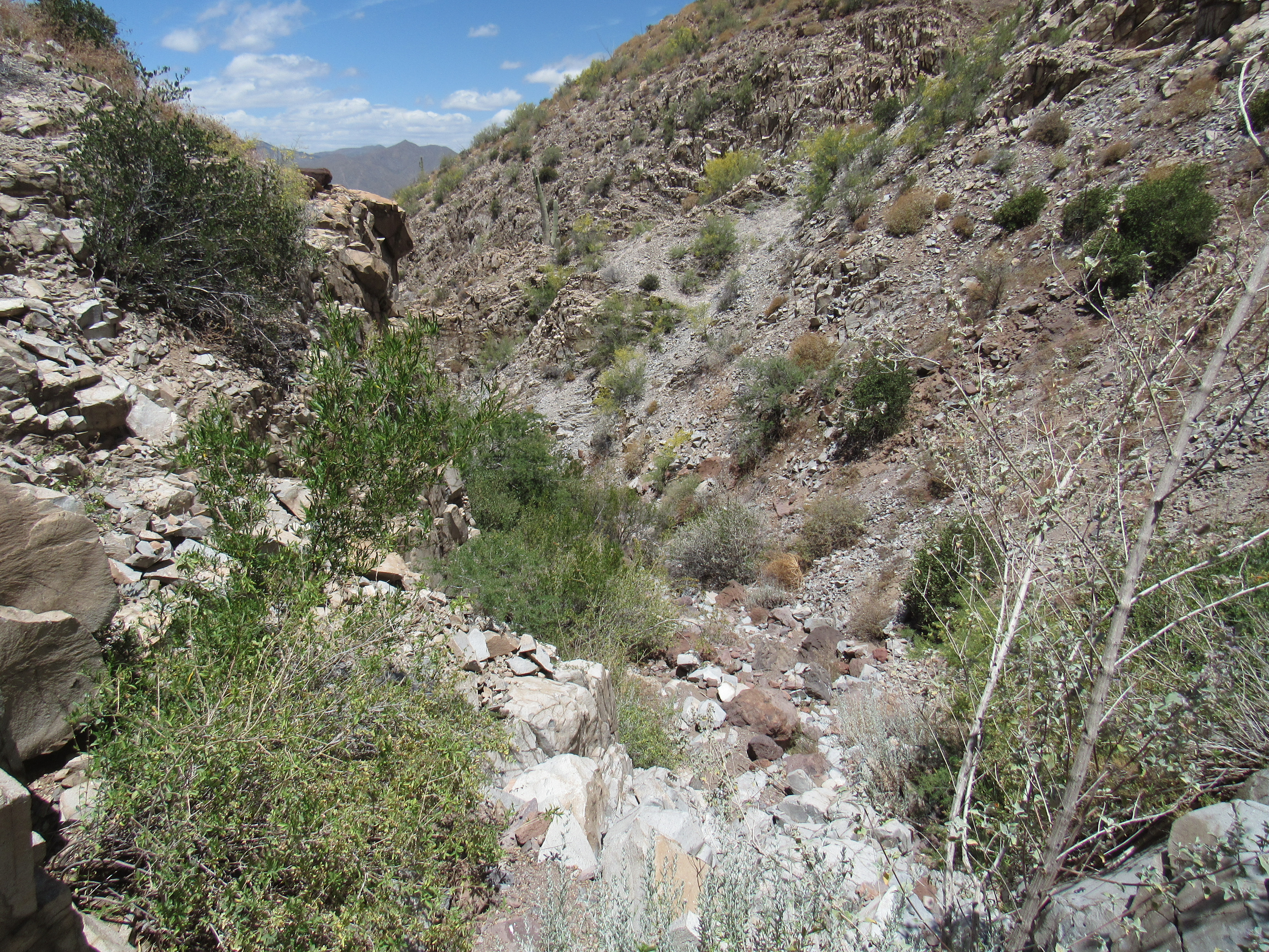
The canyon
There were some small cliffs to negotiate.
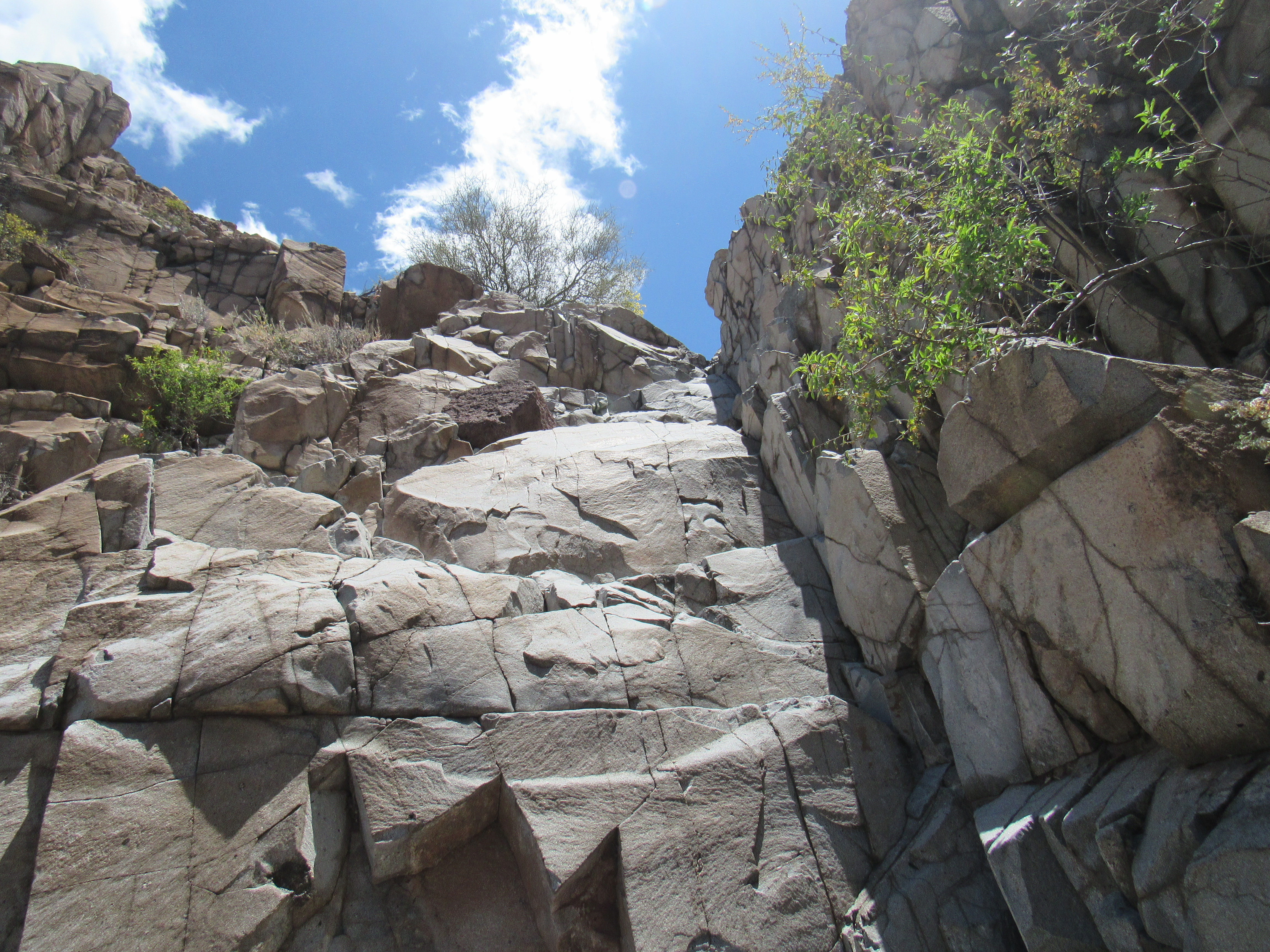
Minor obstacles
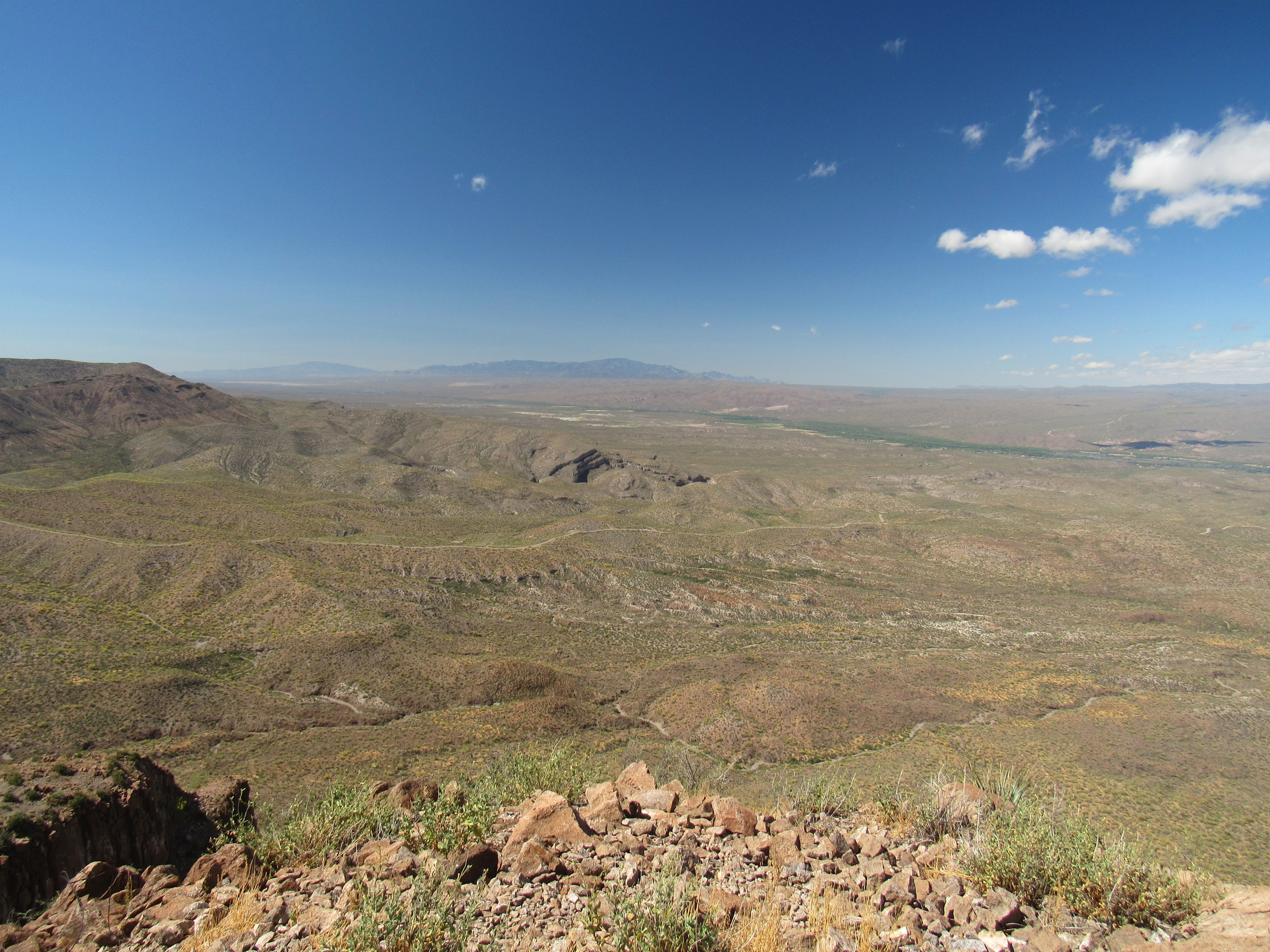
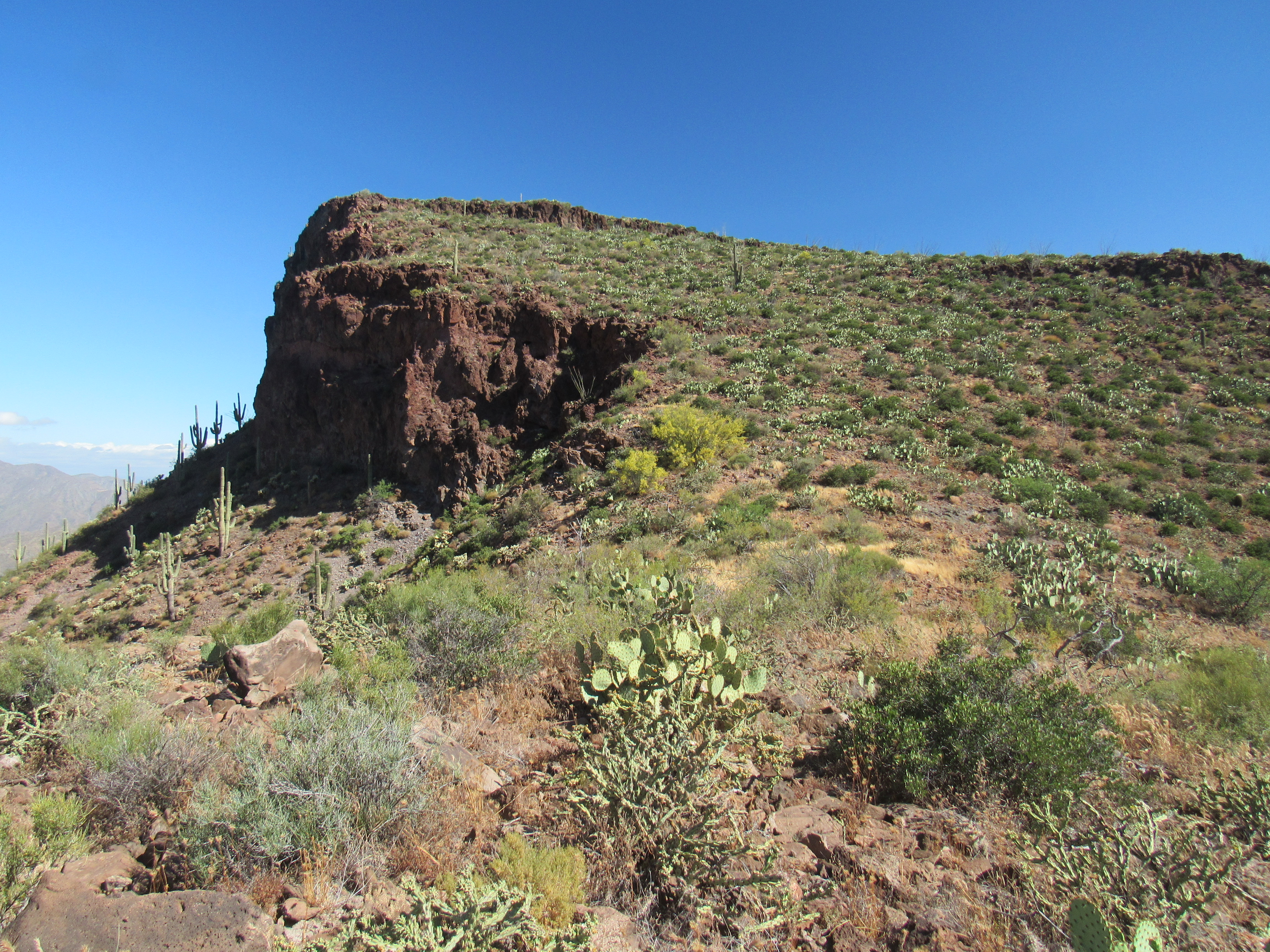
Two hours after setting out from my truck, I arrived at a pass, elevation 3,660 feet. Quite the windblown place. I left a quart under a bush, then started up the final slope of Saddle Mountain. This photo shows the final 600 feet to the summit.
Looking up from the saddle
On the summit, I found a register going back to 2005 – 12 peakbaggers had signed in. There were some pretty interesting views from atop the peak, which seems about right, as it had been a 2,000-foot climb from my truck. Here’s some of what I saw.
To the northeast sat a feature called The Tablelands – in the photo, some of it is visible but much more of the flat area sits off to the right and isn’t visible here. This is a view of Peak 3697.
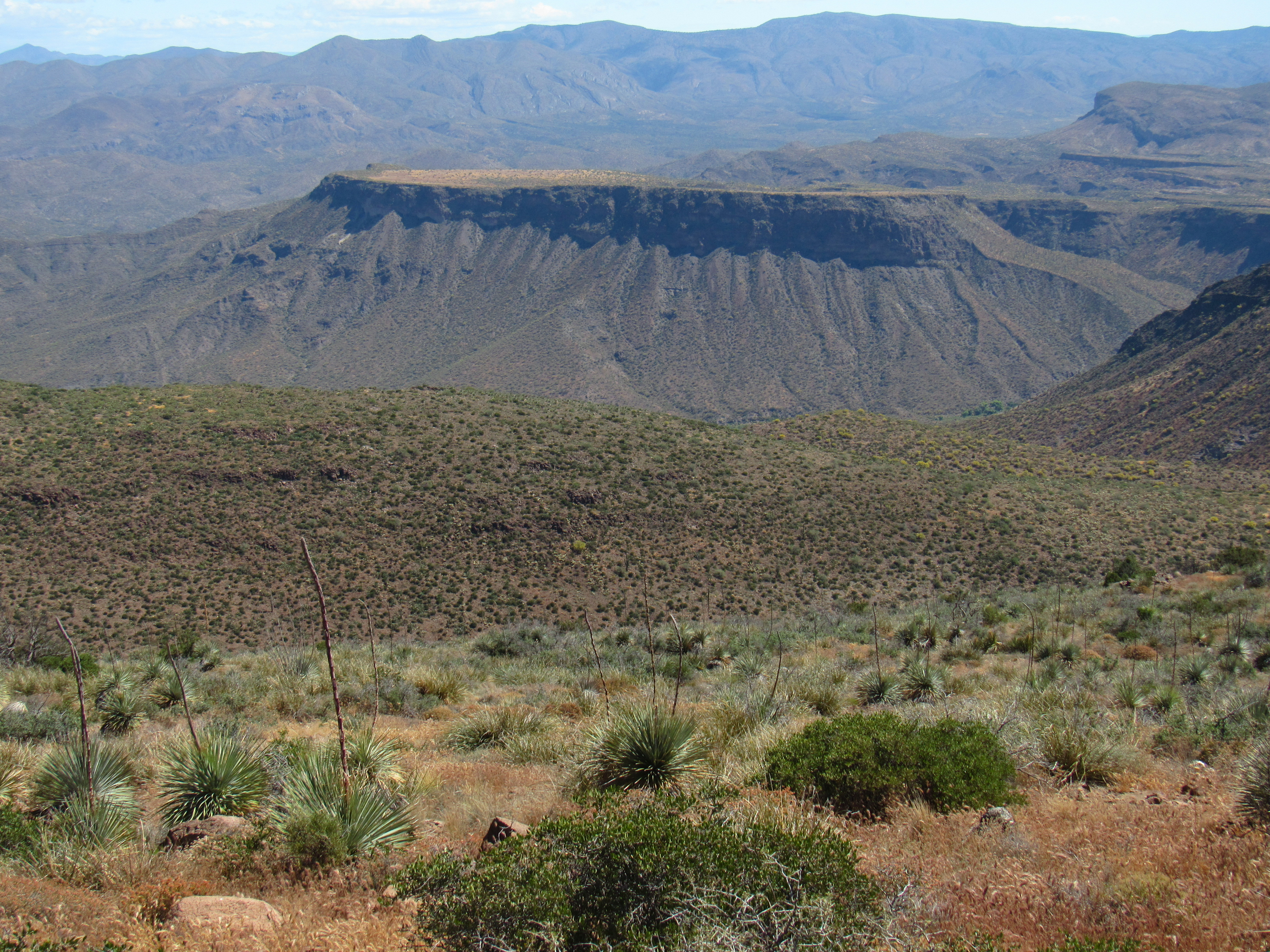
Peak 3697
Twenty-five miles distant to the east-northeast sits the impressive Mount Turnbull, at 8,282 feet. This is a sacred place for the San Carlos Apache Tribe.
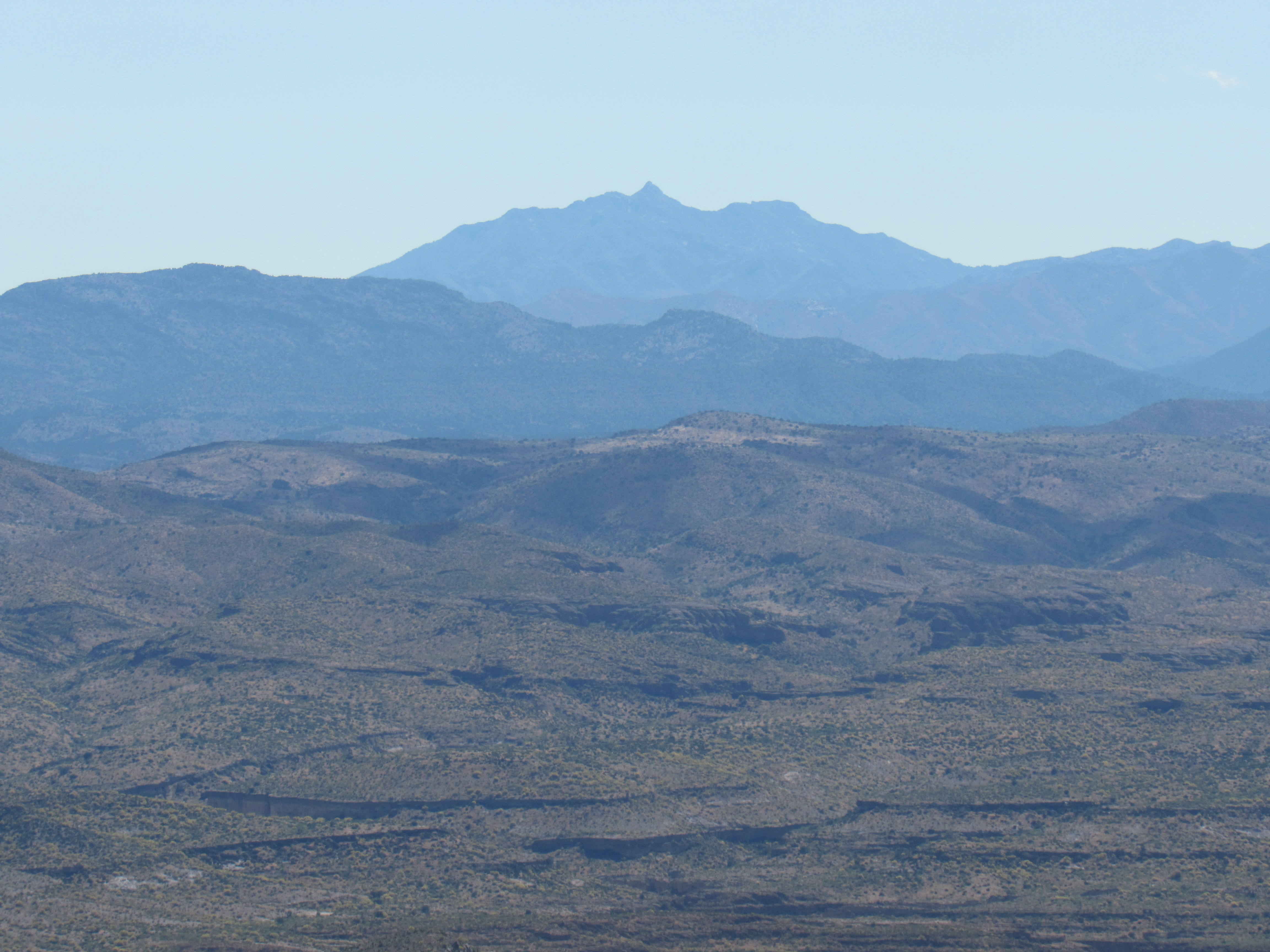
Mount Turnbull
And here’s a long look down to Mount Lemmon, 38 miles away, which sits beside Tucson. It’s the dark one on the center horizon.
Mount Lemmon, which is 9,157 feet high
I started back down towards the saddle, but en route had this great view of its neighbor to the north, Peak 4005.
Peak 4005
From the saddle, it was a slow waltz up through a killing field of prickly pear cactus. As I approached the summit, I saw the cairn.
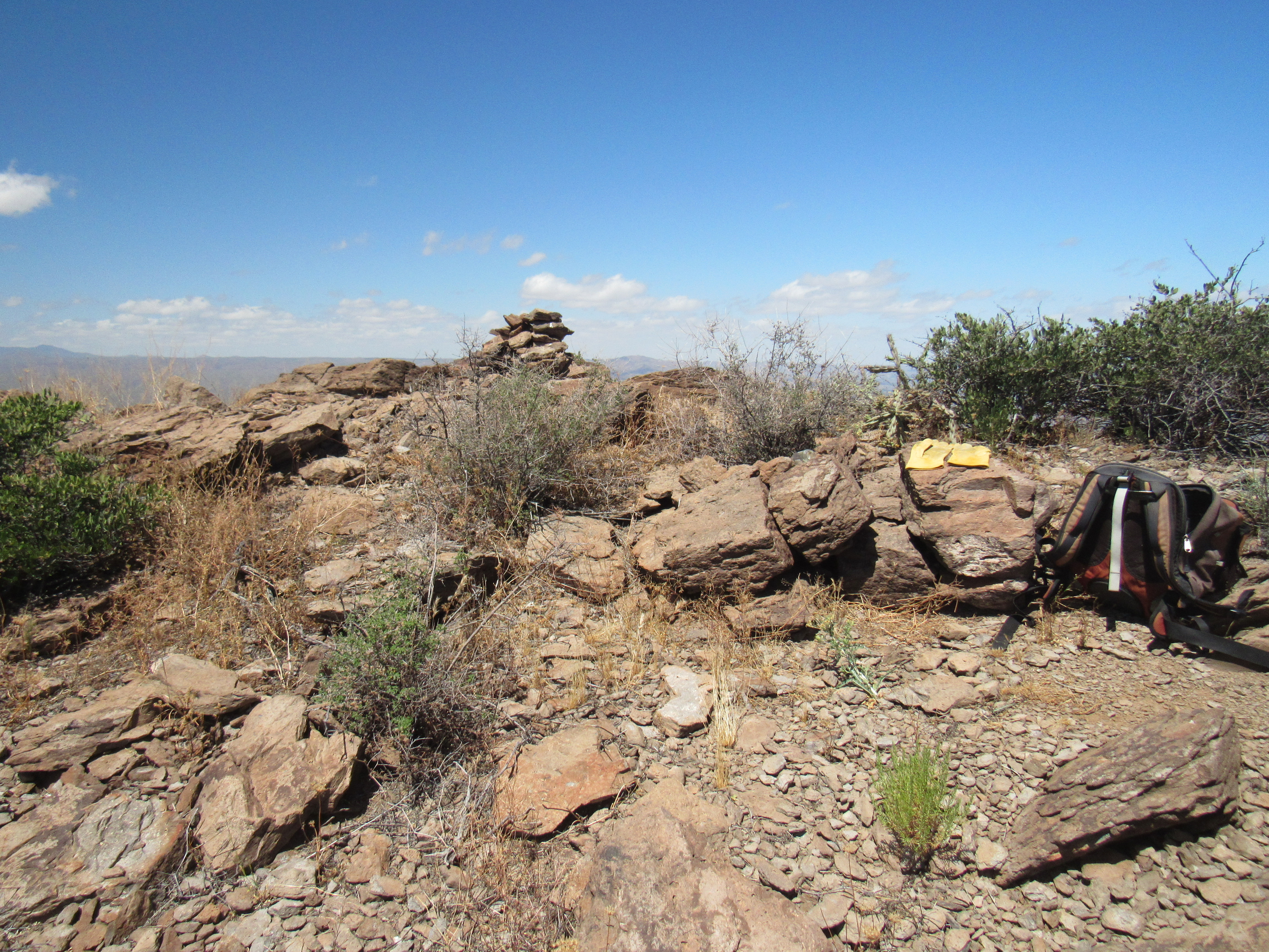
The cairn and register
If you look at the picture before last, you can see the huge vertical drop-off from the summit. As I walked up to the cairn, it took my breath away – the wind was gusting very hard, and I feared getting too close. Four had signed in to the register before me. Once I headed back down to the saddle, this interesting rock formation caught my eye on the slope below.
Interesting rock
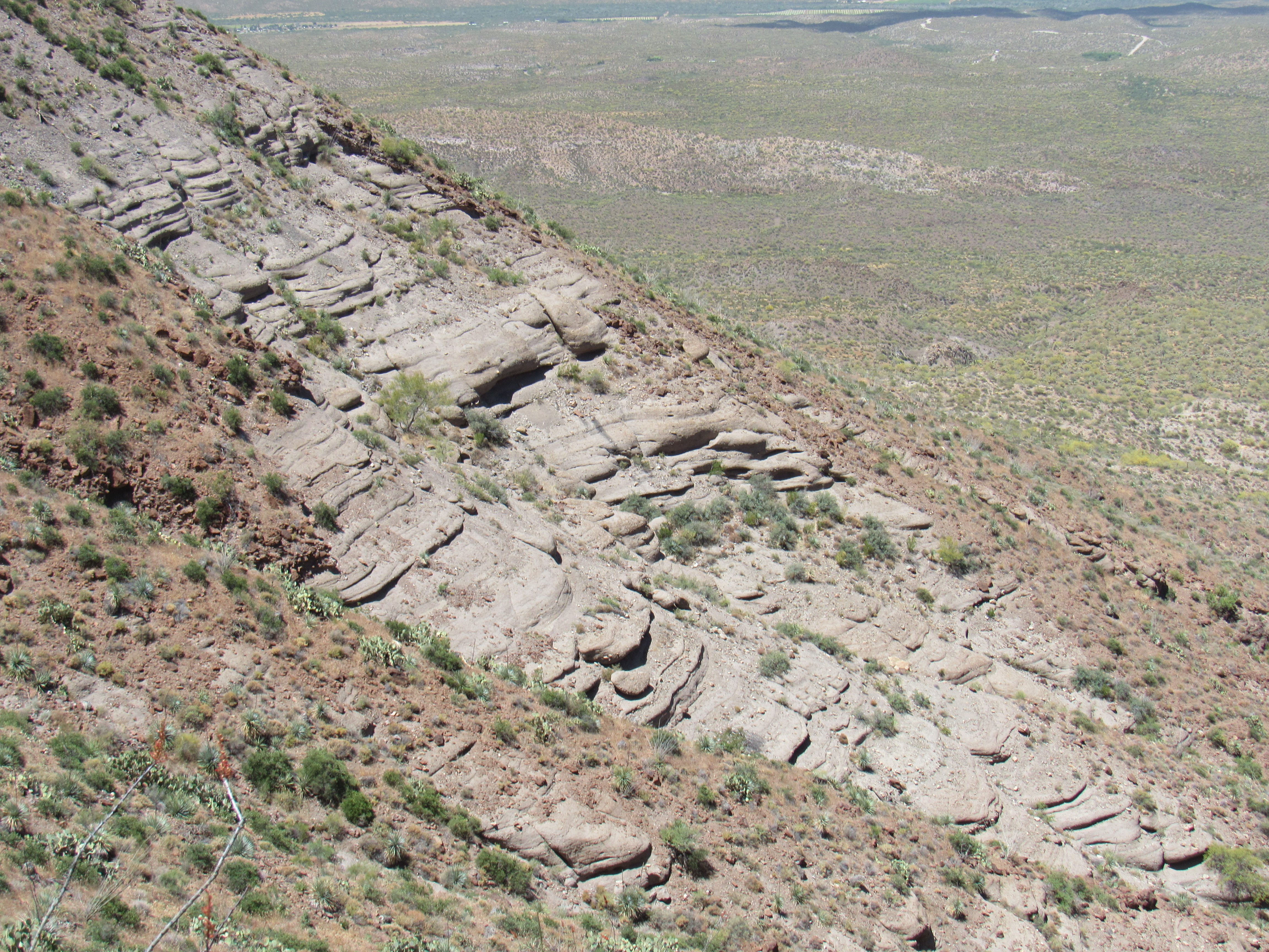
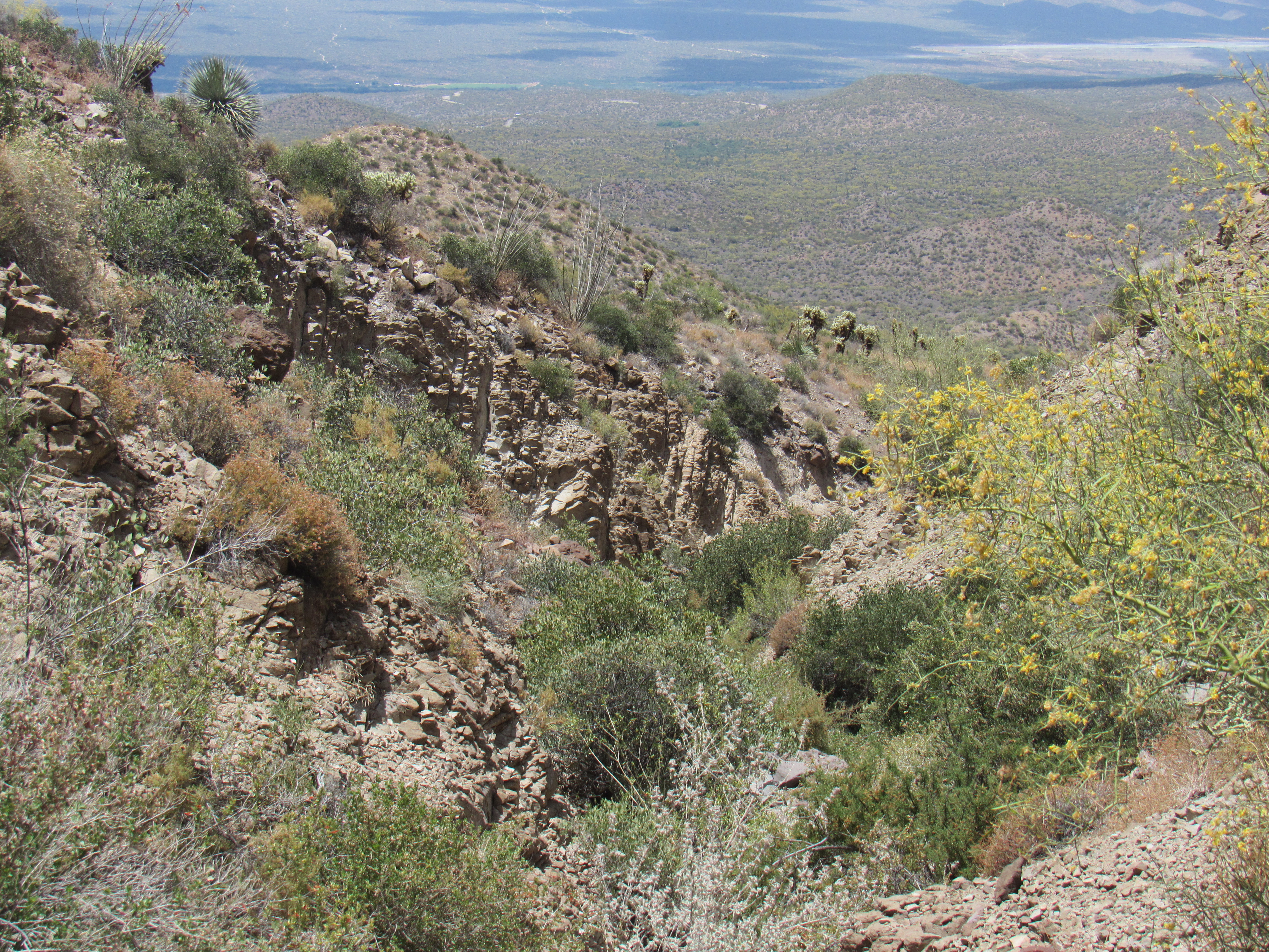
A few hundred feet below the saddle, I entered the canyon once again. There was plenty of interesting rock to negotiate, mostly Class 2 or 3.

In the canyon
I couldn’t help but notice the thick forest of saguaro cacti high on the slope above me. In this photo, I can see at least 6 of them with their characteristic white flowers on top.
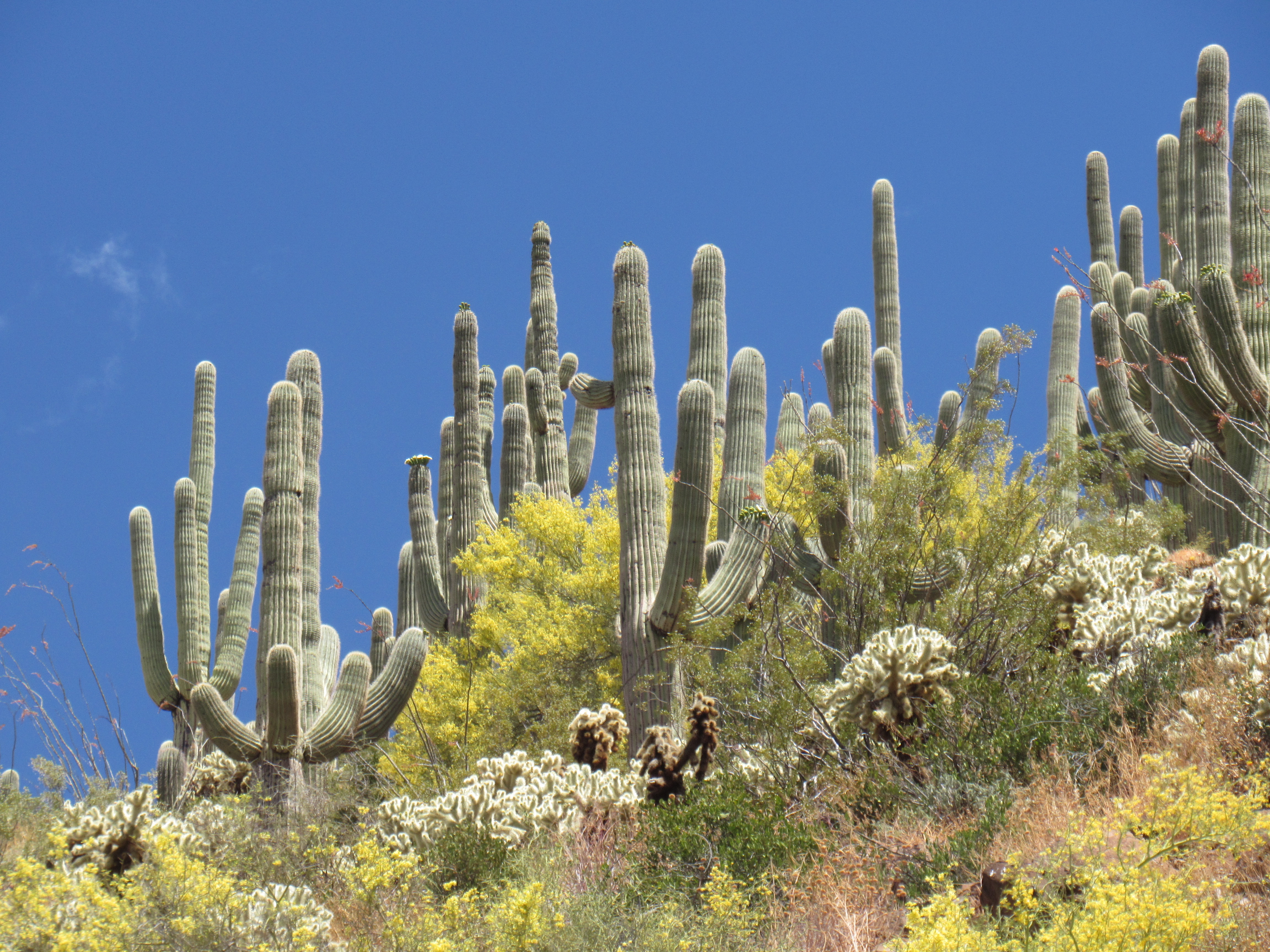
Saguaro
Farther down the canyon, I came across this little guy – it is a non-venomous Two-Lined Whipsnake, about 15 inches long. My friend Dave says they are lizard-eaters and are very fast. This one never moved a muscle as I photographed him at my leisure.
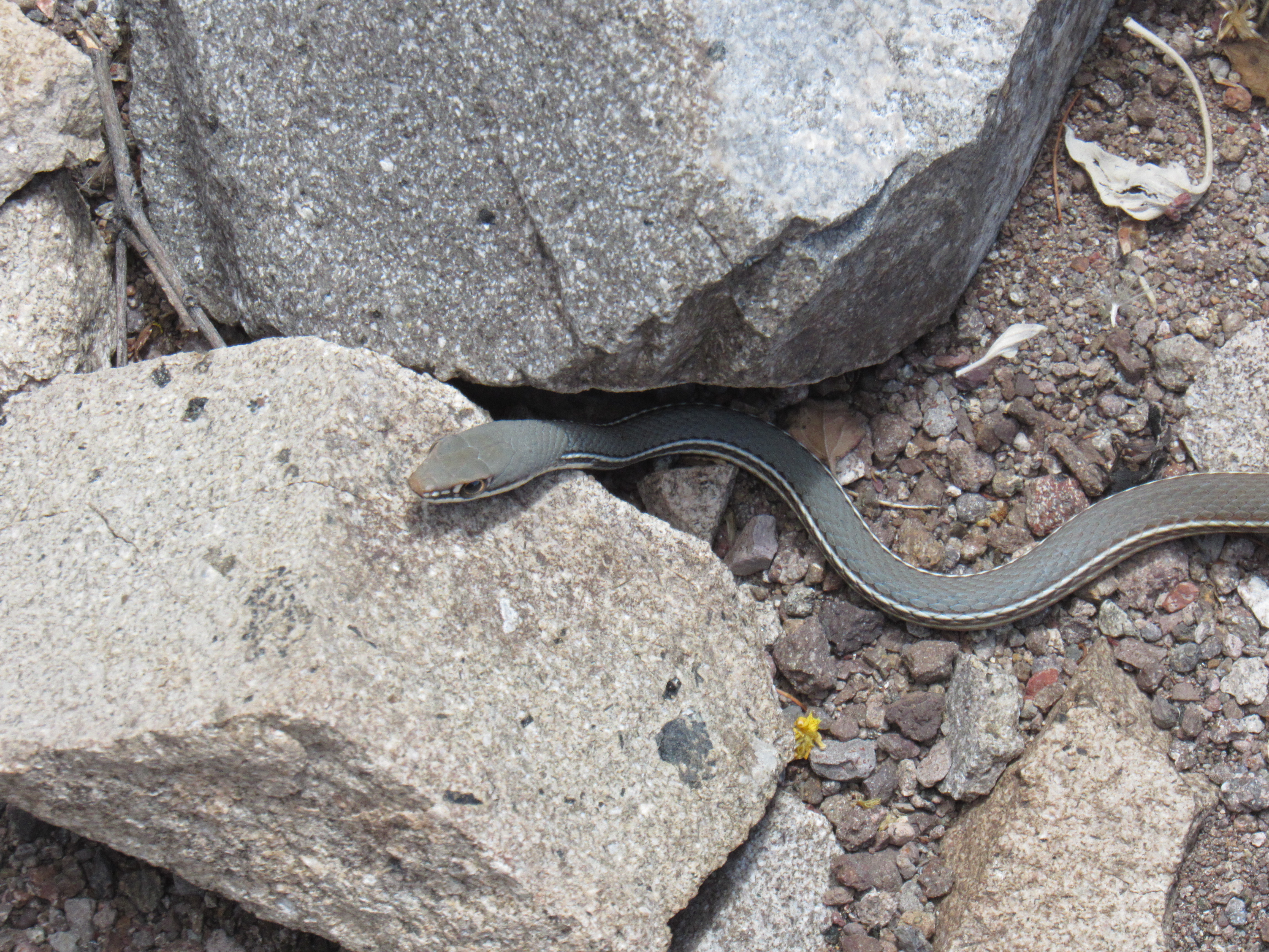
The snake
There was still plenty of canyon and brush to negotiate before I was done.
More canyon
Farther down the wash, I turned around and had this amazing view back to the peaks. On the left is Peak 4005, and Saddle Mountain is on the right. And of course, the saddle is in between.
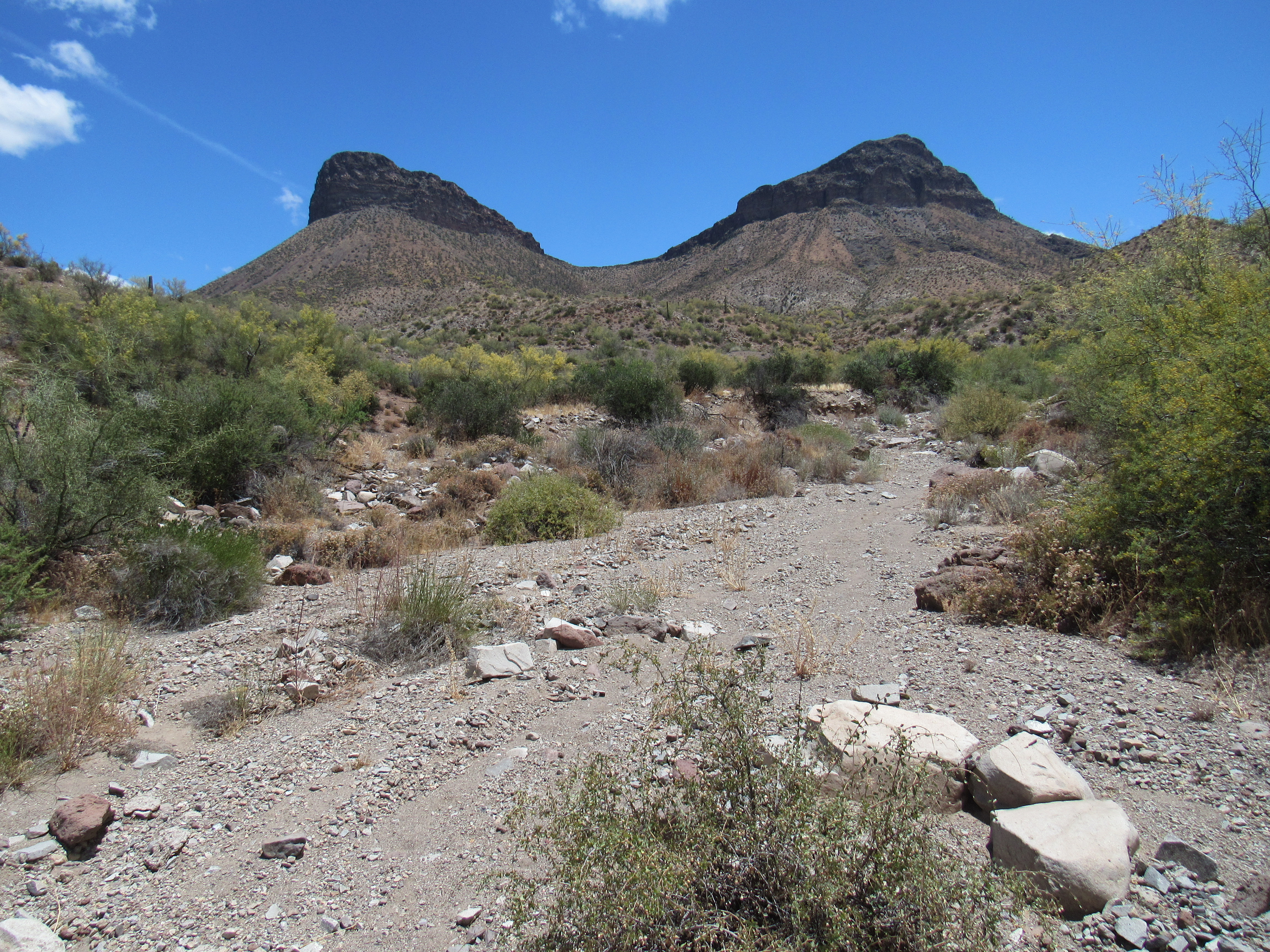
My peaks
Well, I had an enjoyable return down the canyon and then the wash, and 6 hours after setting out I was back at my truck. Nearby sat an old corral, a reminder of bygone days.
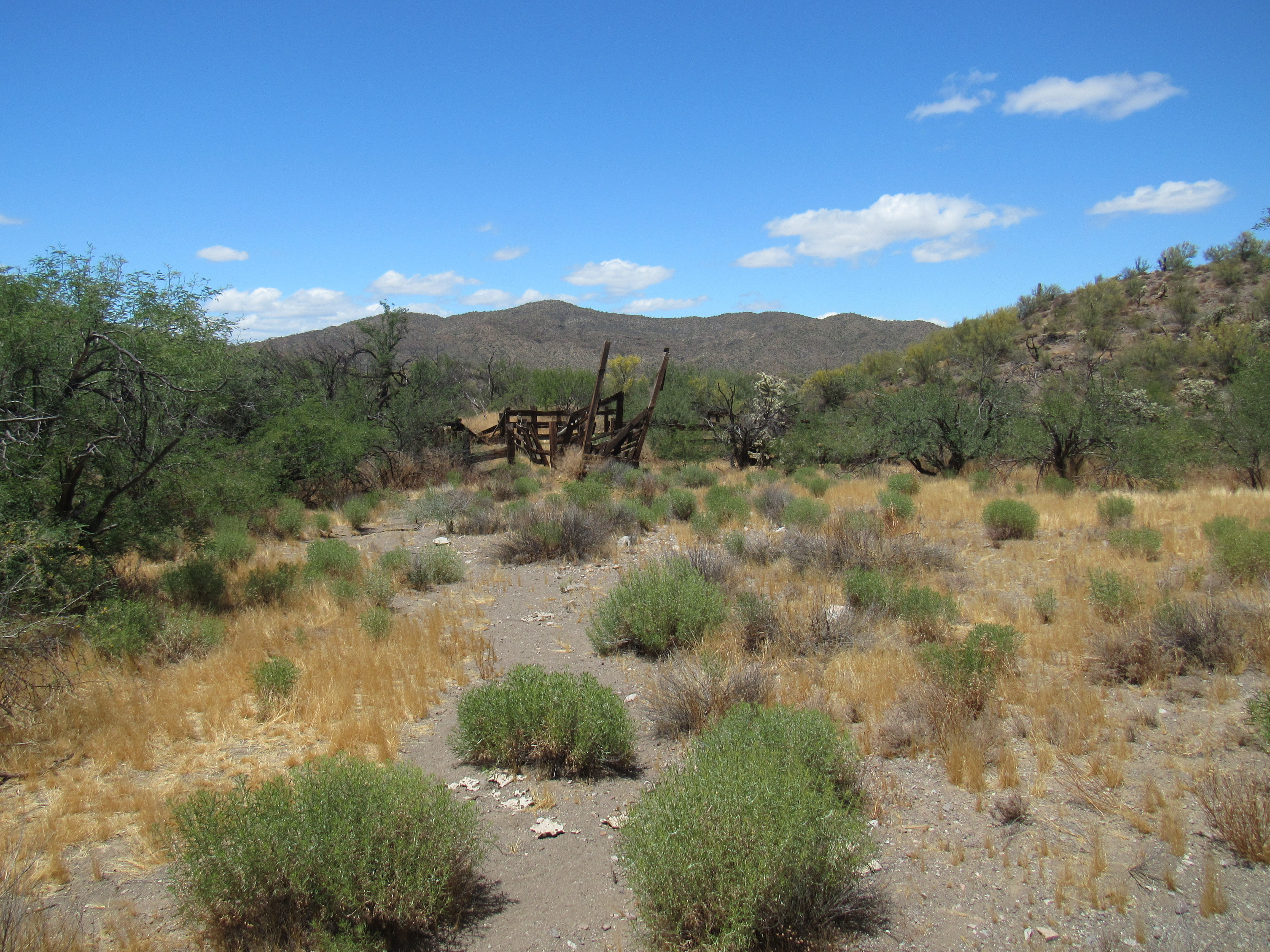
The old corral
It was an uneventful drive back out to the highway, but there was one more simple task to perform – a visit to the nearby town of Winkleman.
On the day I arrived, it seemed that all 353 of its inhabitants were down by the river at the public park, celebrating Memorial Day. The Gila River is the only one that runs all the way across the state of Arizona, a distance of almost 600 miles. It may not look like much, but here it still flows freely (once past the city of Phoenix, it sinks into its sandy bed and becomes subterranean).
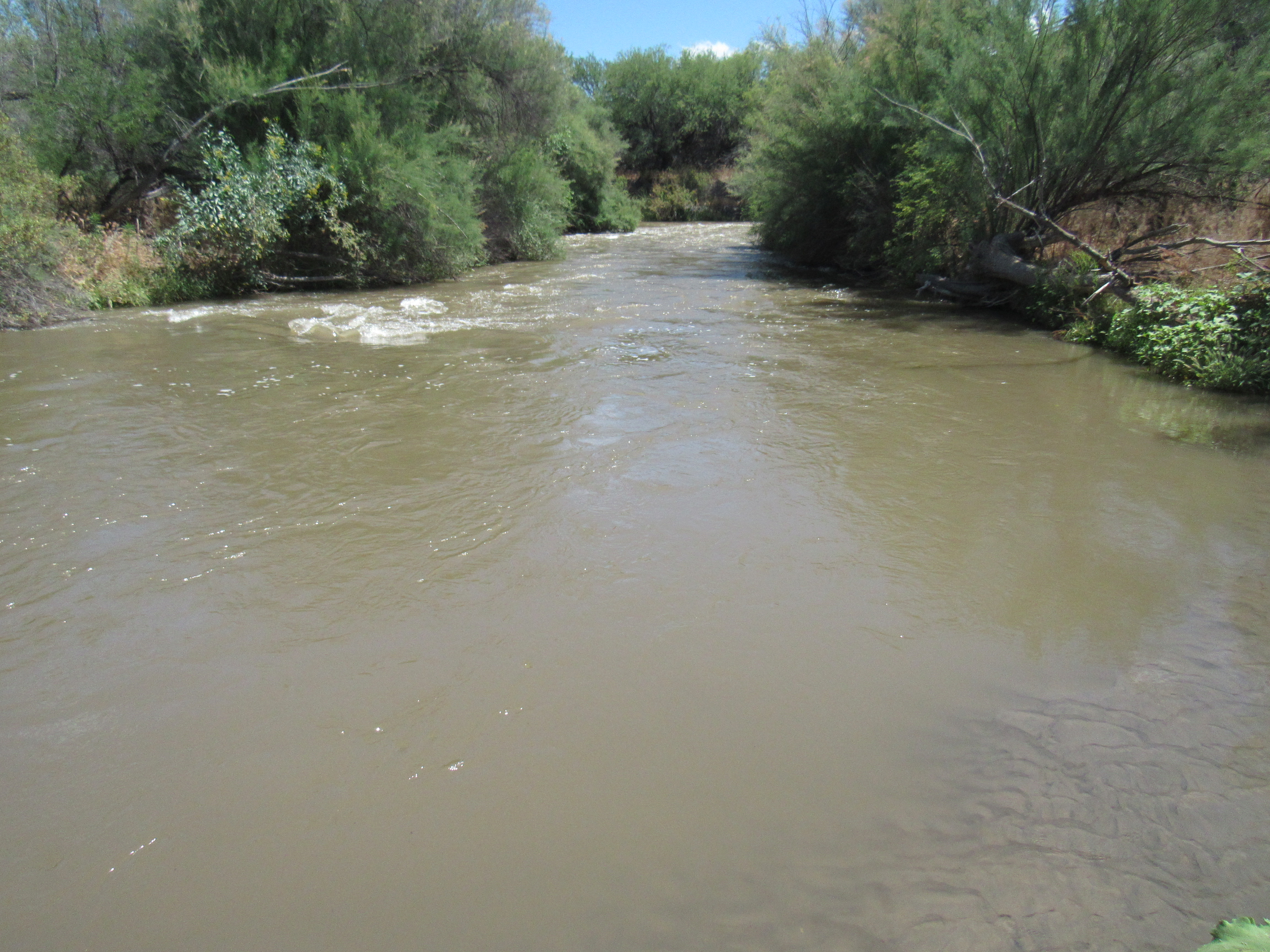
The Gila River
So the river is one very cool thing about this town; the other is the smokestack. It towers over everything, truly the elephant in the room. It belongs to the copper smelter owned by Asarco, and stands a full 1,001 feet tall. In fact, it is the tallest free-standing structure in the entire state of Arizona. This is a telephoto shot taken from over a mile away, but it doesn’t give you a sense of the true scale of the thing.
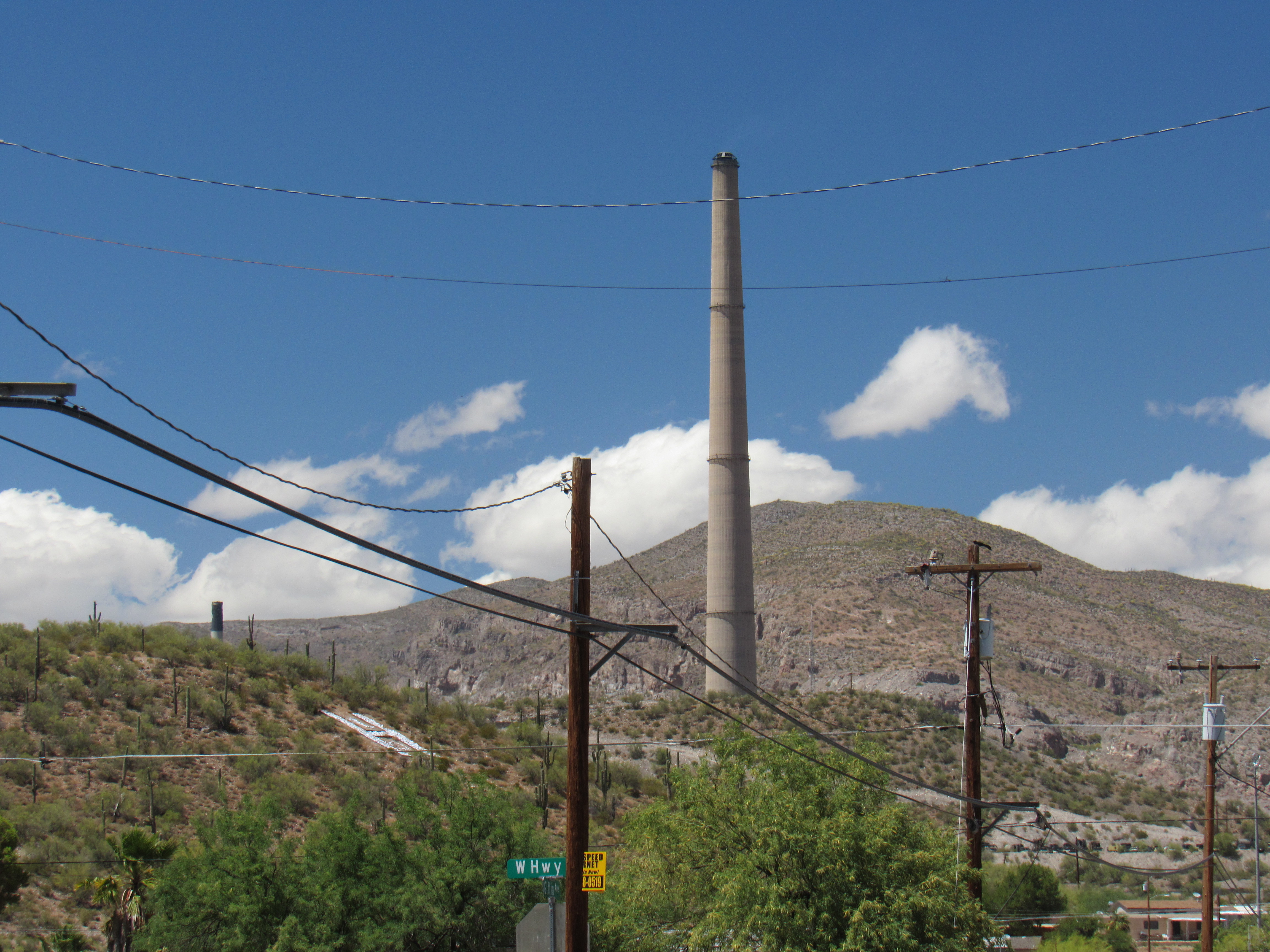
The smokestack
This might – a telephoto taken from 6 miles away and 2,000 feet above the town – see how it towers above the huge smelter?
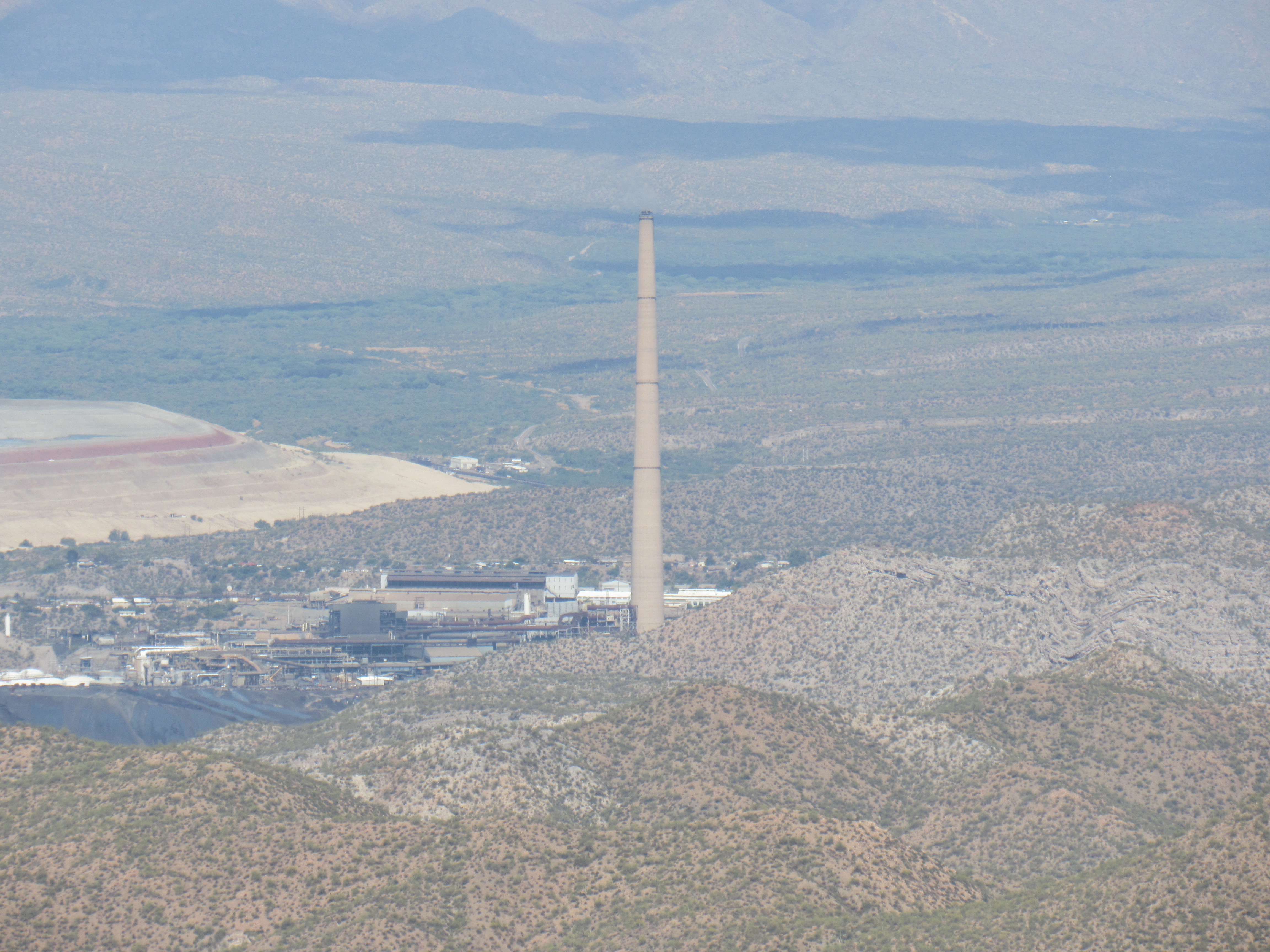
The elephant
I spent a while in the town, admiring the hundred-year-old buildings and soaking up a bit of history, before heading back home. Today’s climb was fun, and I plan to come back to visit more of the great peaks near here.