
Even in late September, our temperature here in the desert can top a hundred degrees. In fact, it can do that as late as mid-October, so 90 degrees F on September 28th, which is a bit cooler than normal, seemed like a good day to head out and climb something. Even 90 can feel pretty draining, so I left home at sunrise and drove 60 miles on paved roads to reach the start of my first climb.
I was near the Ak-Chin Regional Airport in a chunk of desert that was somewhat built- up, sitting as it did on the northwest side of the city of Casa Grande. I found a square mile of Arizona state land which I crossed, allowing me to park at the very edge of the Gila River Indian Reservation. A gully 20 feet deep ran west for 3 miles to die an un-natural death in the remnants of the Santa Cruz Wash. I needed a bit of time to find a way to cross this steep-sided gully, but once done I stood at a fence which marked the true reservation boundary. An easy crawl underneath the barbed wire (something we desert peakbaggers do often) set me squarely inside, and gave up this first view of my peak.
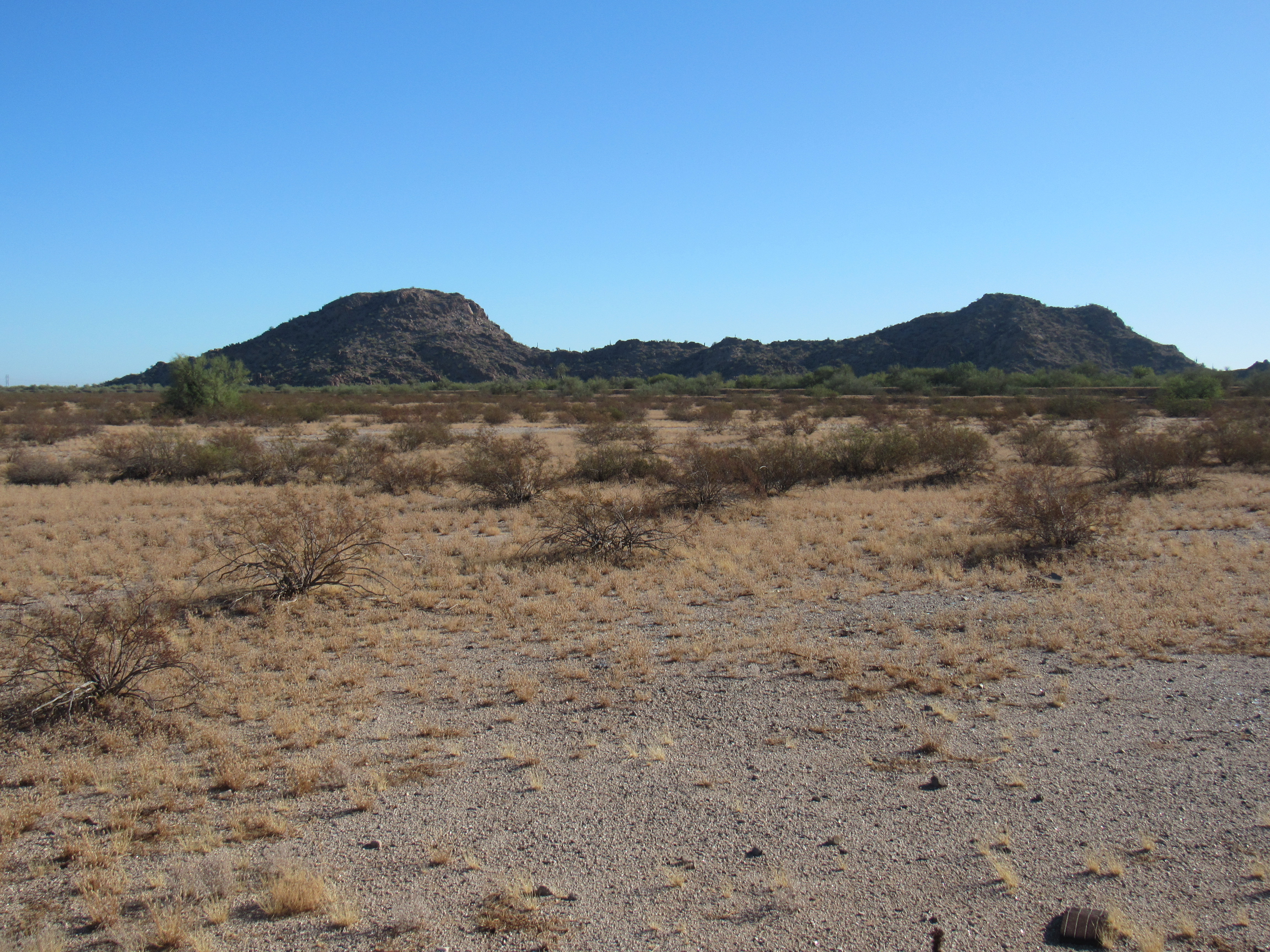
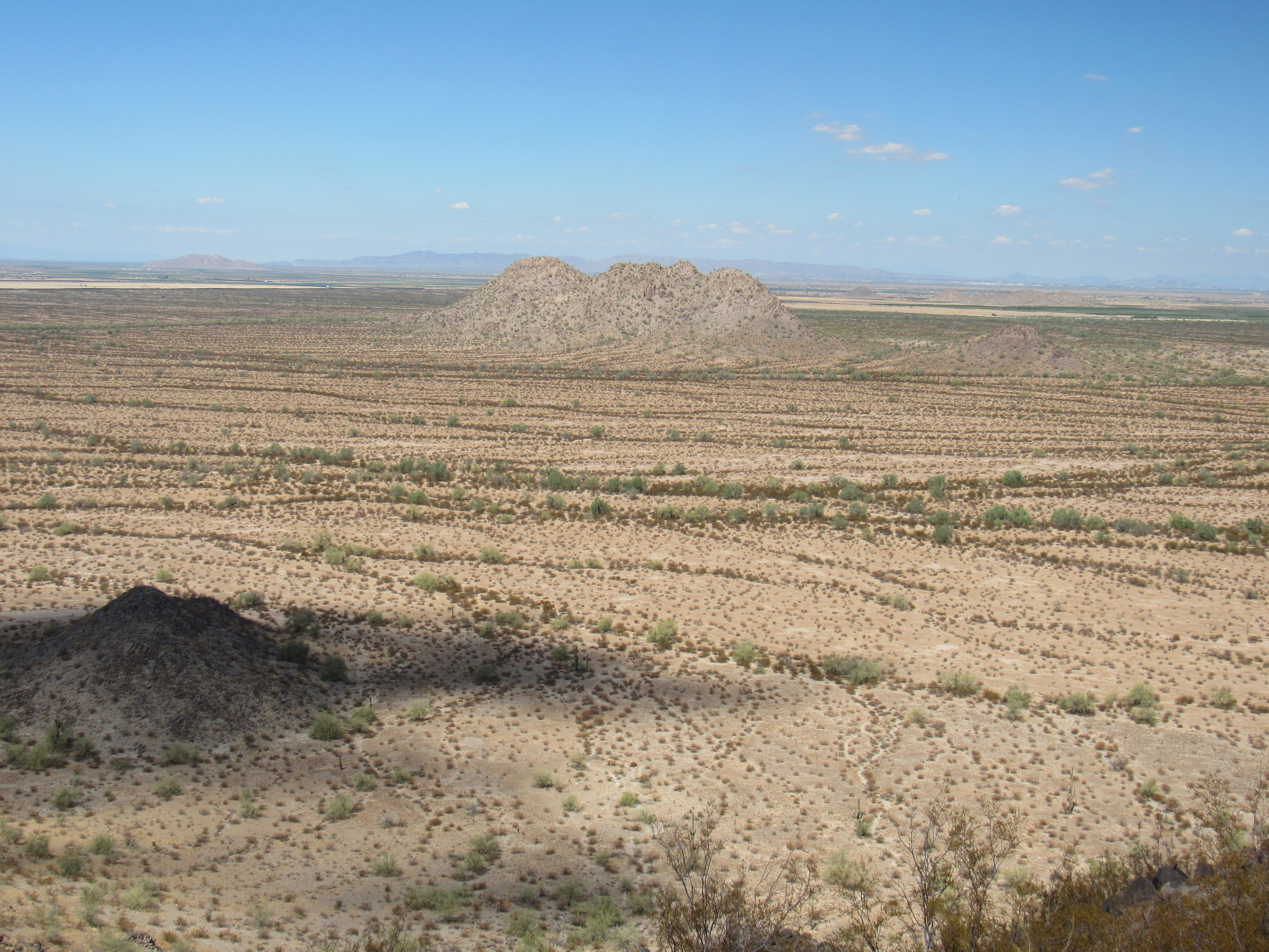
North to Peak 1765
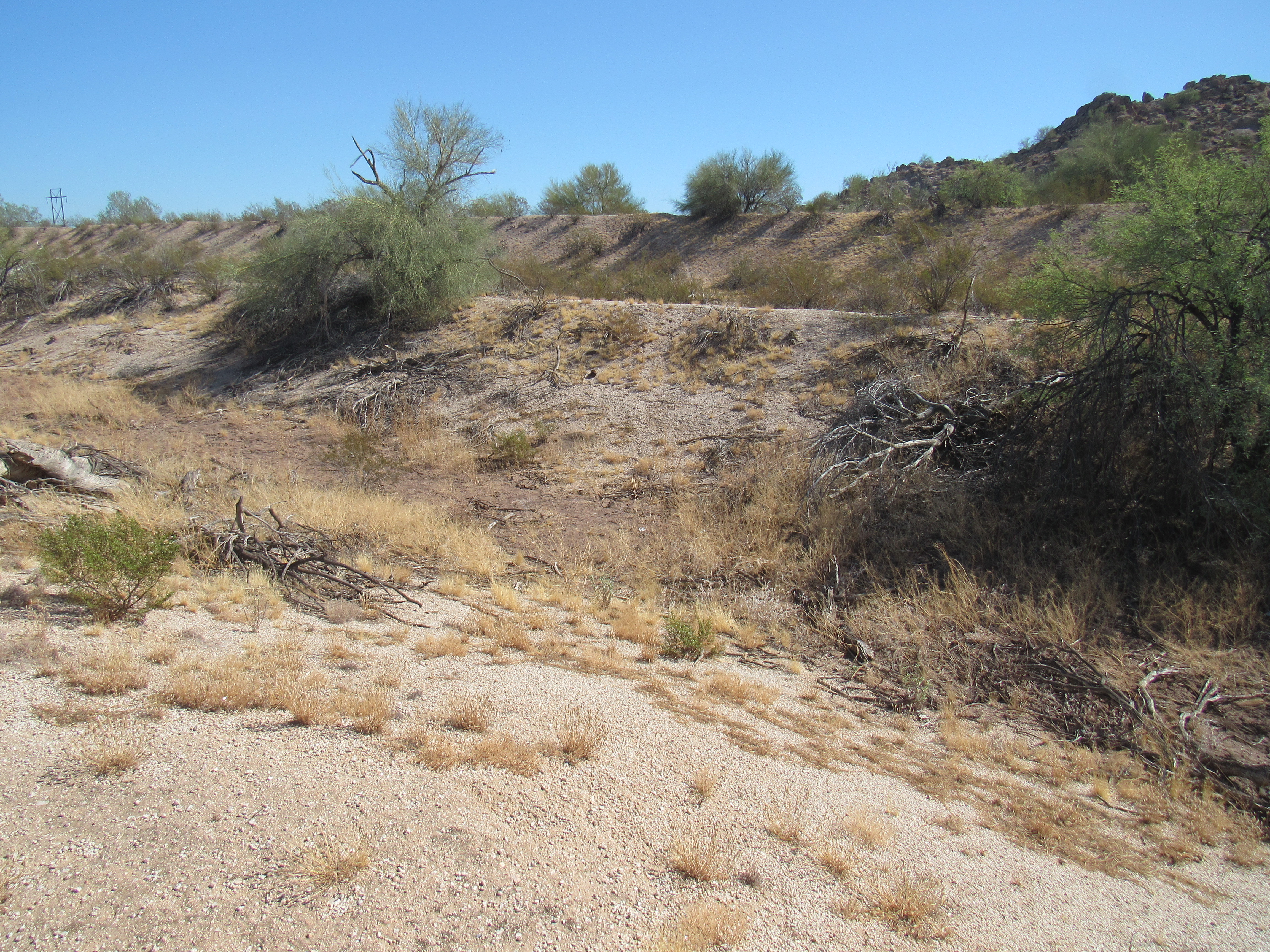
My goal was the far left bump. As you can see, it was a simple walk across flat desert, an easy mile. At the base of the peak stood an interesting rock grotto.
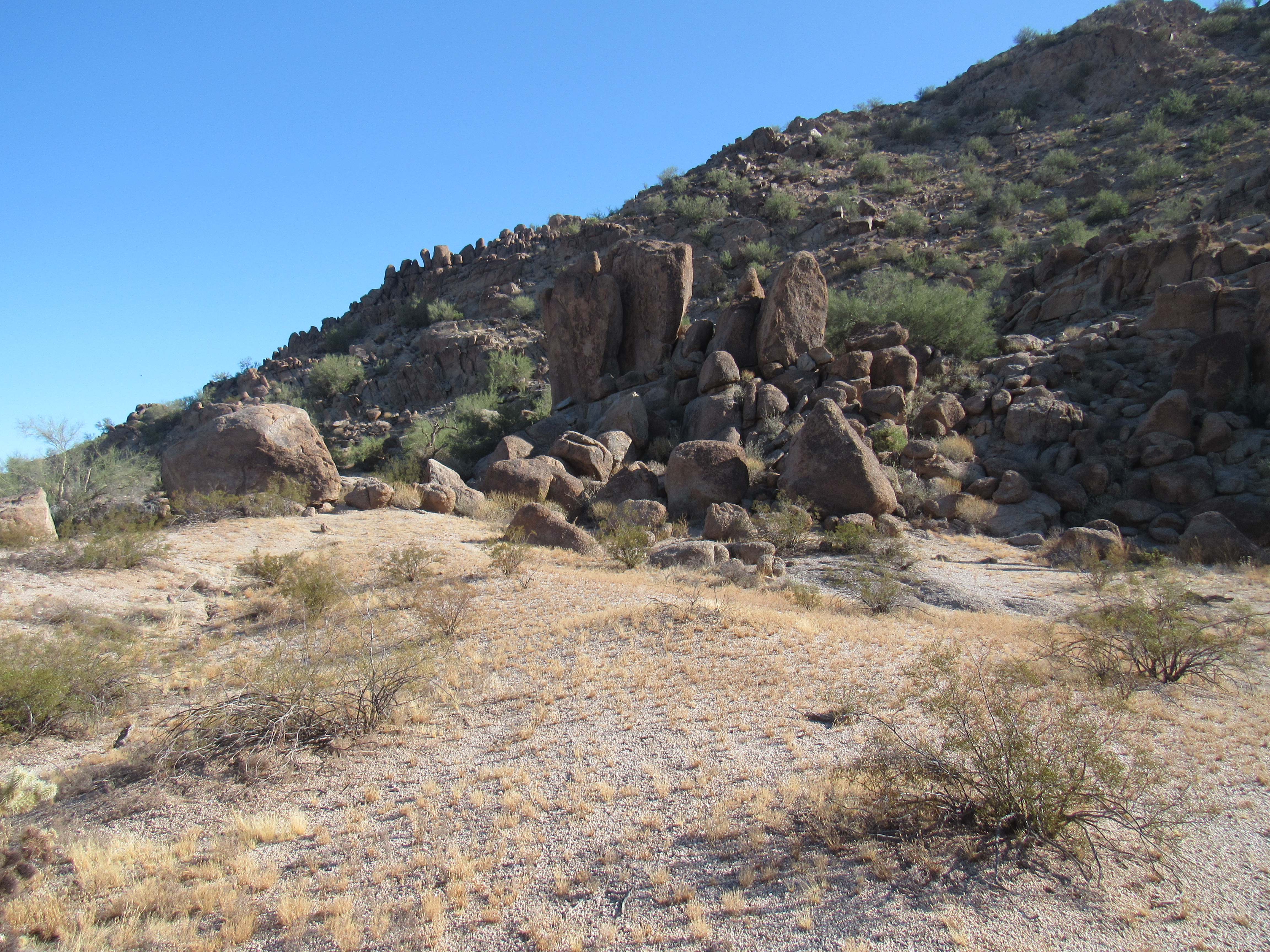
At the base of the climb.
The entire mountain was made of granite, and it was badly decomposing. I chose the southwest slope, which was about as loose and slippery as you could get, so much so that I knew I didn’t want to descend that same way – it was like climbing up a hillside covered in marbles. Since it was only 400 vertical feet, it was soon over and I stood on the flat summit of Peak 1765. I found a climber’s register and signed in, noting that of the known four who had been there before me, only one was admitting it on paper.
The summit
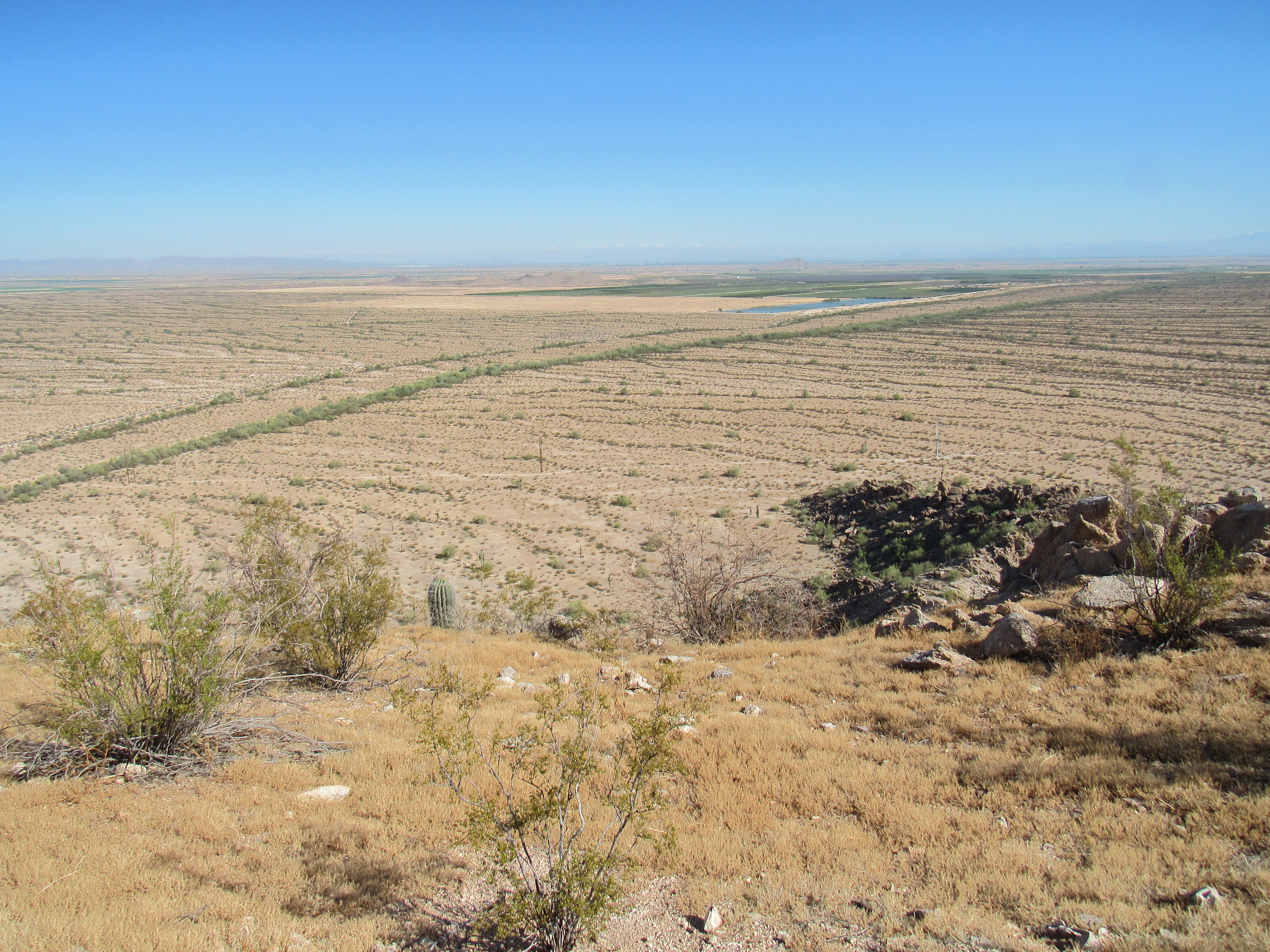
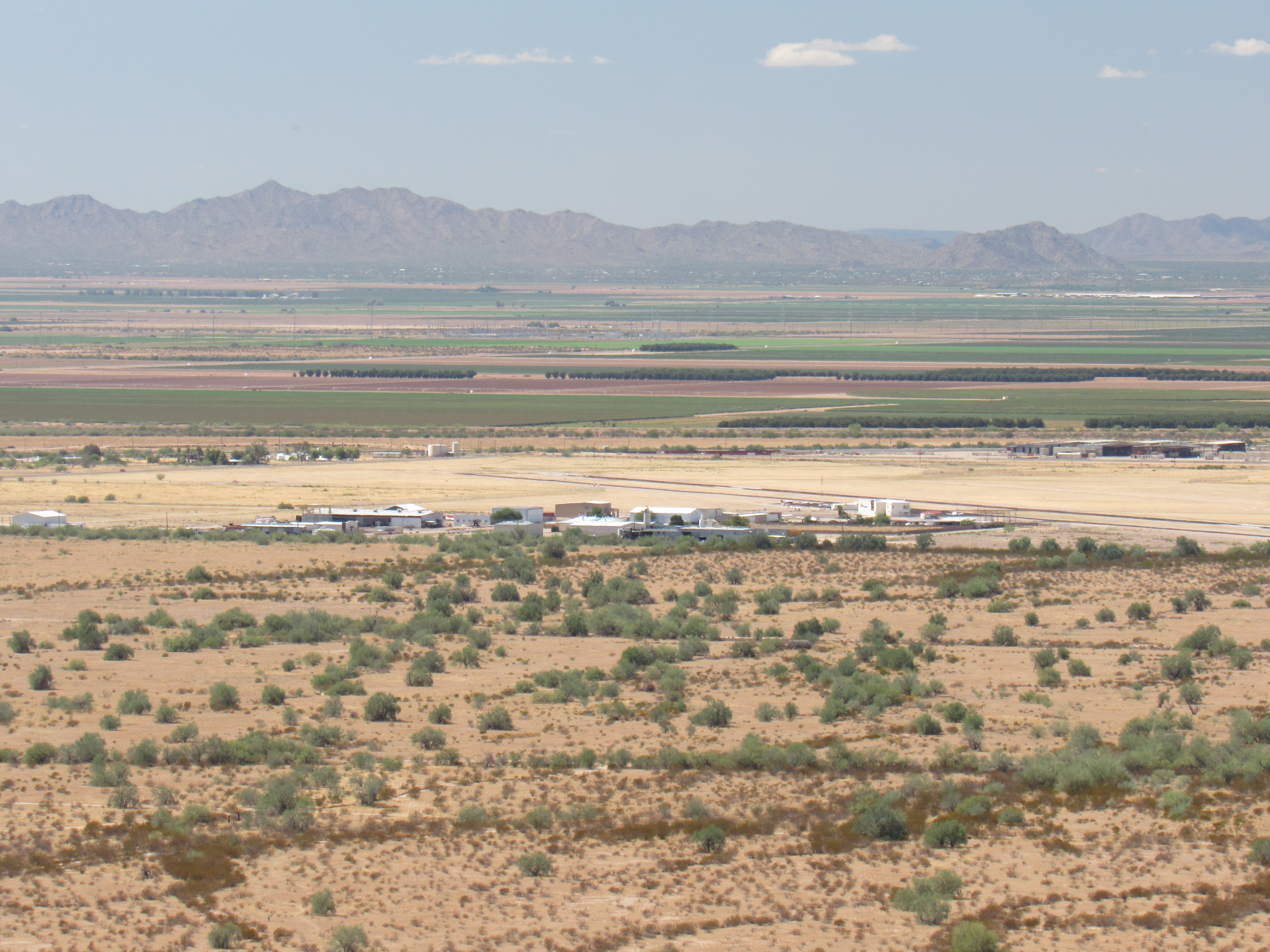
To the north, 1 1/4 miles away, sits a huge pond, 500 feet by 2,500 feet. I’m assuming it is for irrigating cropland. It’s easily seen in the next photo. Twenty miles beyond that sits the megalopolis that is Phoenix, lost in its own haze.
A look north
The long green stripe running across the photo is called South Side Canal – flood control, maybe? It’s a huge earthen berm, man-made, actually 2 of them. Here’s a close-up look, down on the desert floor.
South Side Canal
My better choice for a descent route was the northwest ridge, a fun bit of boulder-hopping with none of the loose ground found on the ascent. I followed the left skyline.
Descent
Walking across the desert back to my truck, I found this guy.
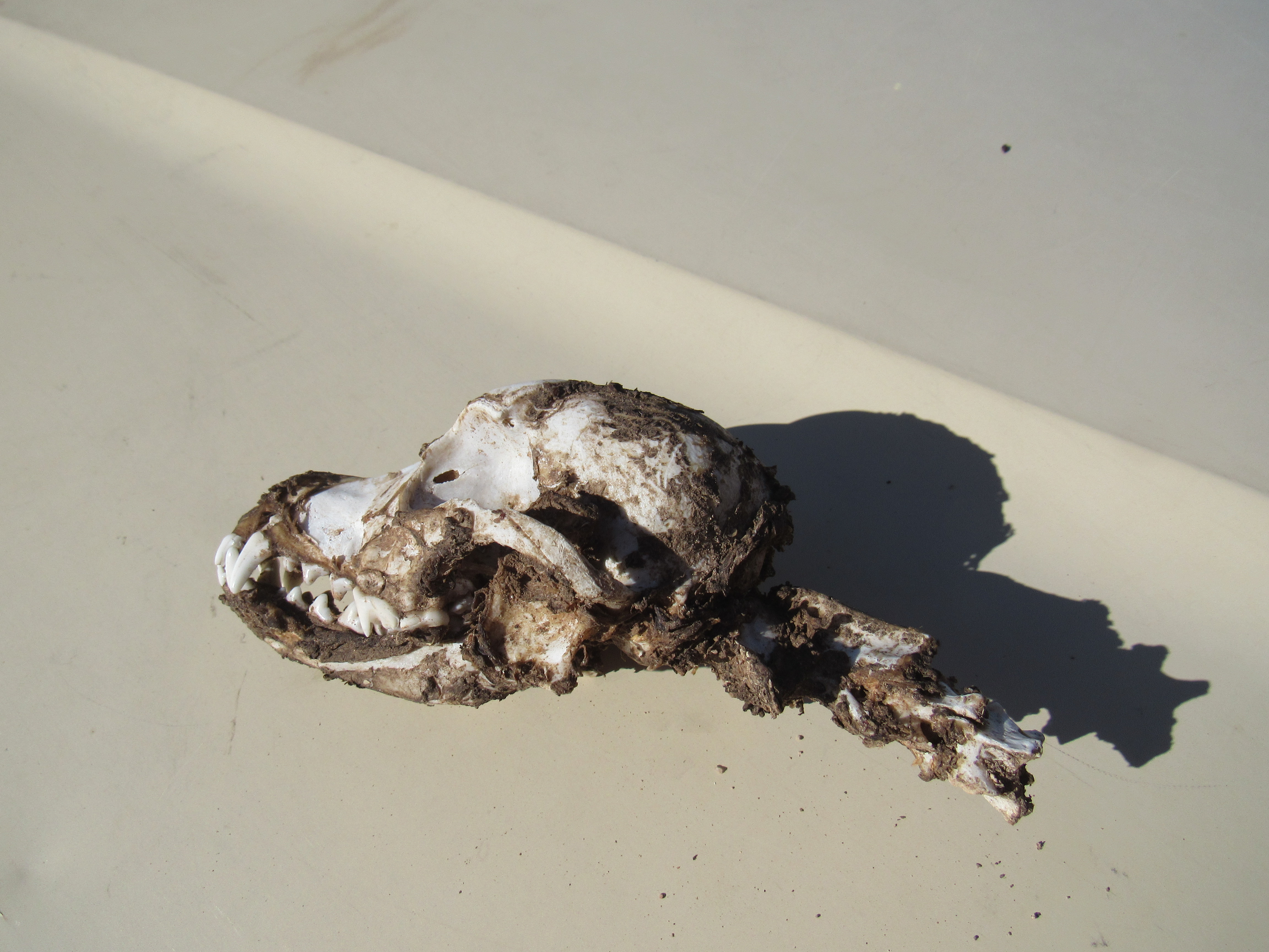
Mystery mammal.
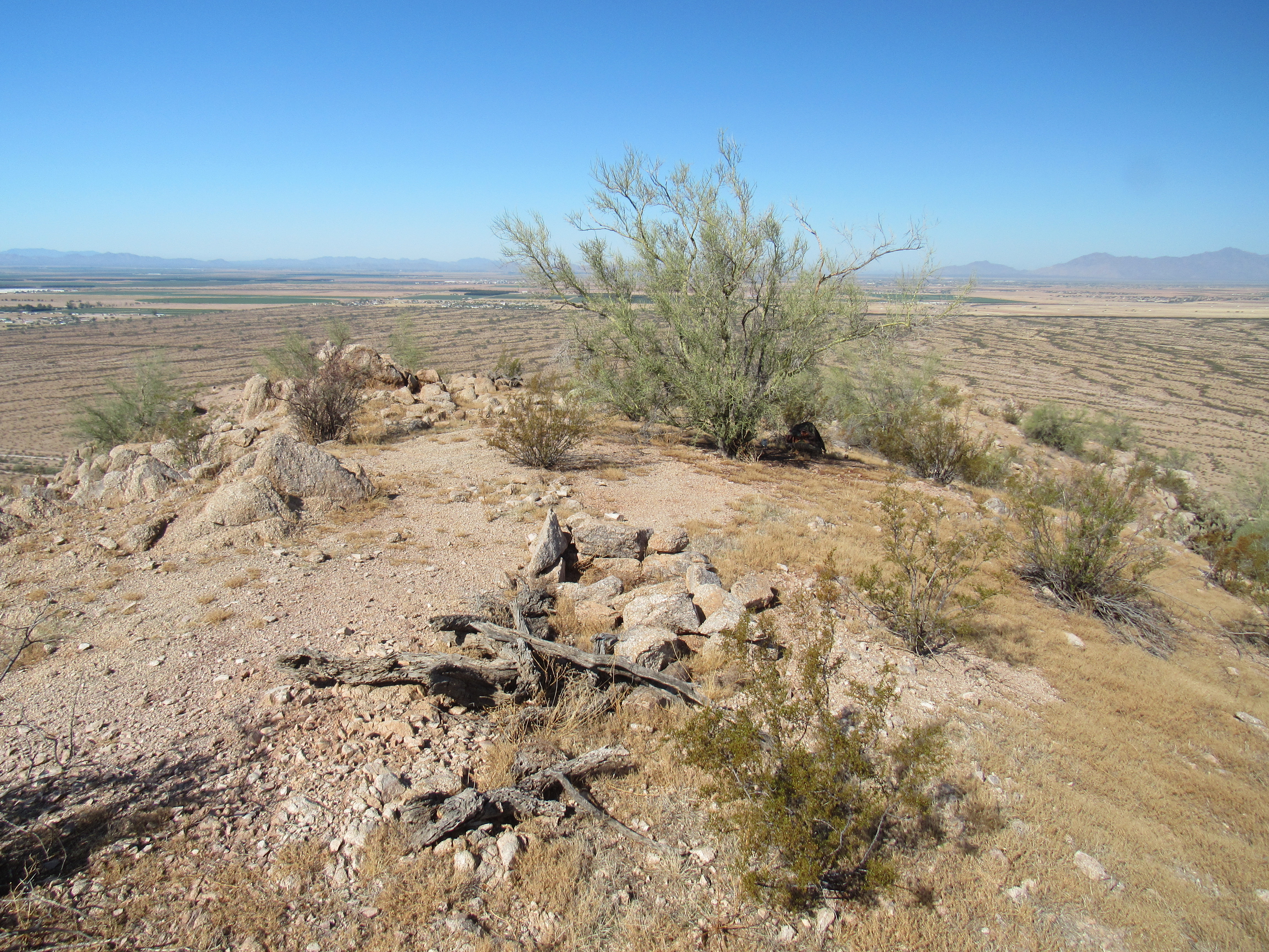
Once back, I cranked up the air conditioning and drove several miles to my next stop. It was close, less than half a mile from where I parked. I was there in no time, up an easy slope. This place was called Tree. When surveyors do their work, they’ll often place a benchmark on a summit, a brass disk with the year of the survey and the name they’ve given it. I never did find the benchmark, but I must admit to not having made much of an effort. The name intrigued me, though. Often, benchmarks are named after a nearby feature, something logical or obvious, but this one had me stumped. The original survey of this area had taken place in 1921, and a lot can happen in a century.
On the highest point stood a sizeable palo verde tree. There’s no way of knowing if it was there way back then, but I poked around a bit looking for the benchmark, with no luck. It may have been placed where the tree stands today, as there was some outcrop at its base, but it wasn’t about to show itself easily. If there had been a tree there a hundred years ago, I suppose that’d be enough of a reason for the name of the benchmark.
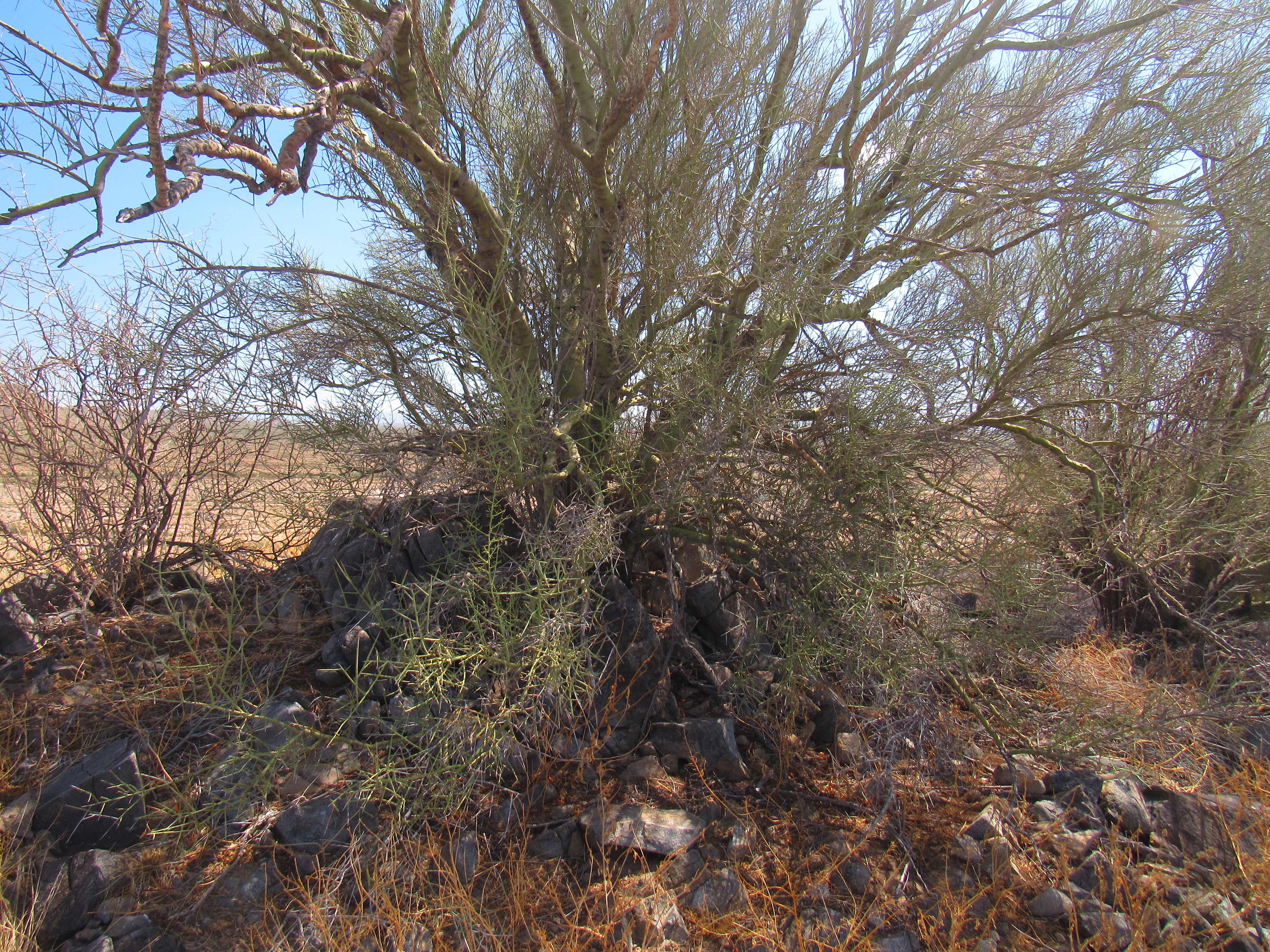
The summit tree
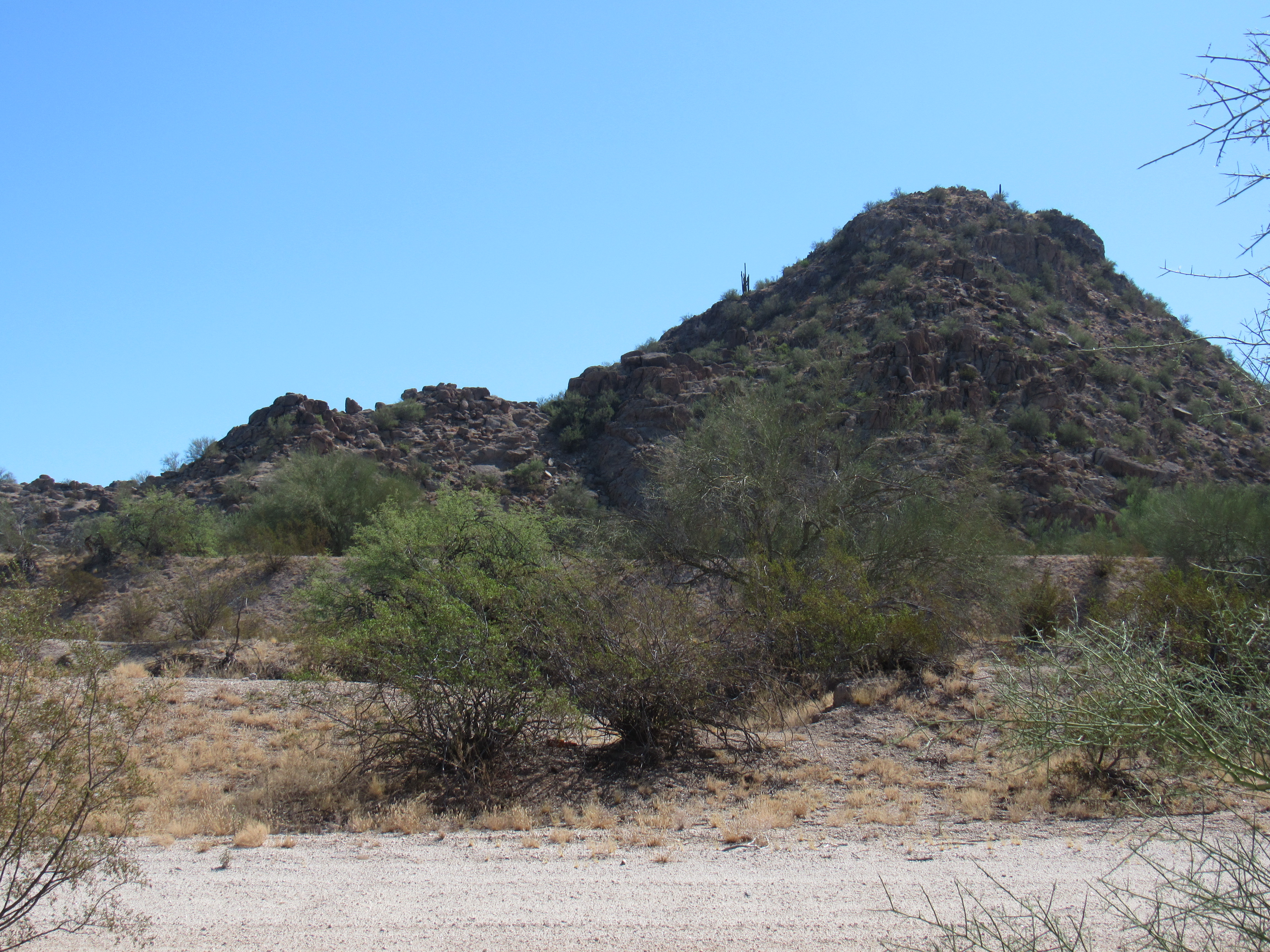
Another bump 100 feet to the north vied for the highest point, but I think the spot with the tree may have been a tiny bit higher, so that’s where I left a register. The other one I had climbed earlier in the day sat 1 3/4 miles to the northwest, and coincidentally the 2 of them were exactly the same height – 1,765 feet.
Peak 1765
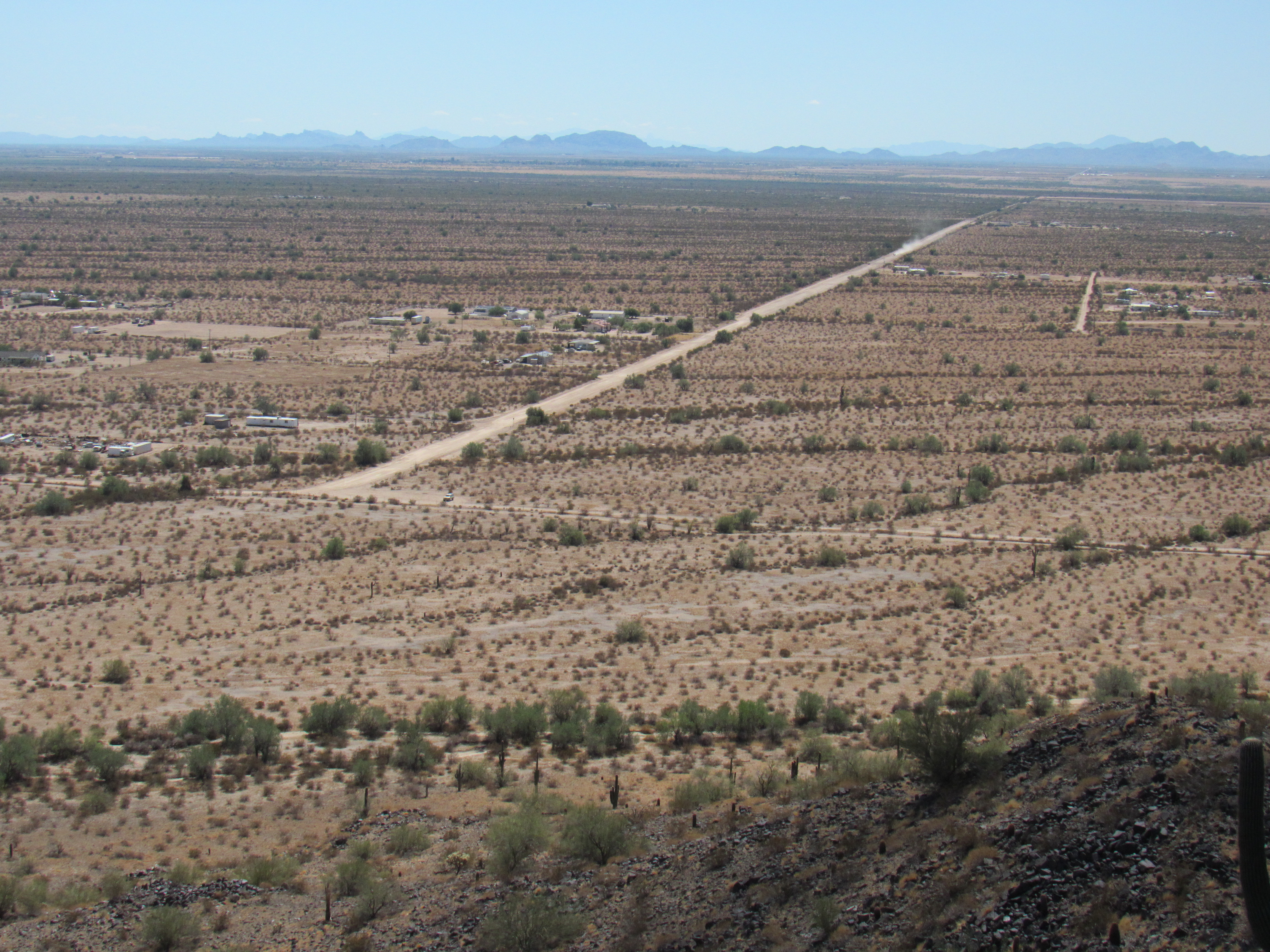
Just over 2 miles to the west-southwest sat that small airport I mentioned earlier. Two weeks earlier, a small plane crashed into one of the buildings, actually embedding itself in the roof and front wall. If you Google “plane crash at Ak-Chin Airport”, you’ll see some dandy pictures. Here’s a telephoto of the airport from Tree.
Southwest to Ak-Chin Airport
People lived within half a mile of Tree, as you can see in this next photo. The road ends at the boundary of the reservation, in this view to the south
The beginning, or the end.
Here’s one more, a look to a mountain called Table Top, 23 miles to the southwest. It’s the one in the middle with the flat top.
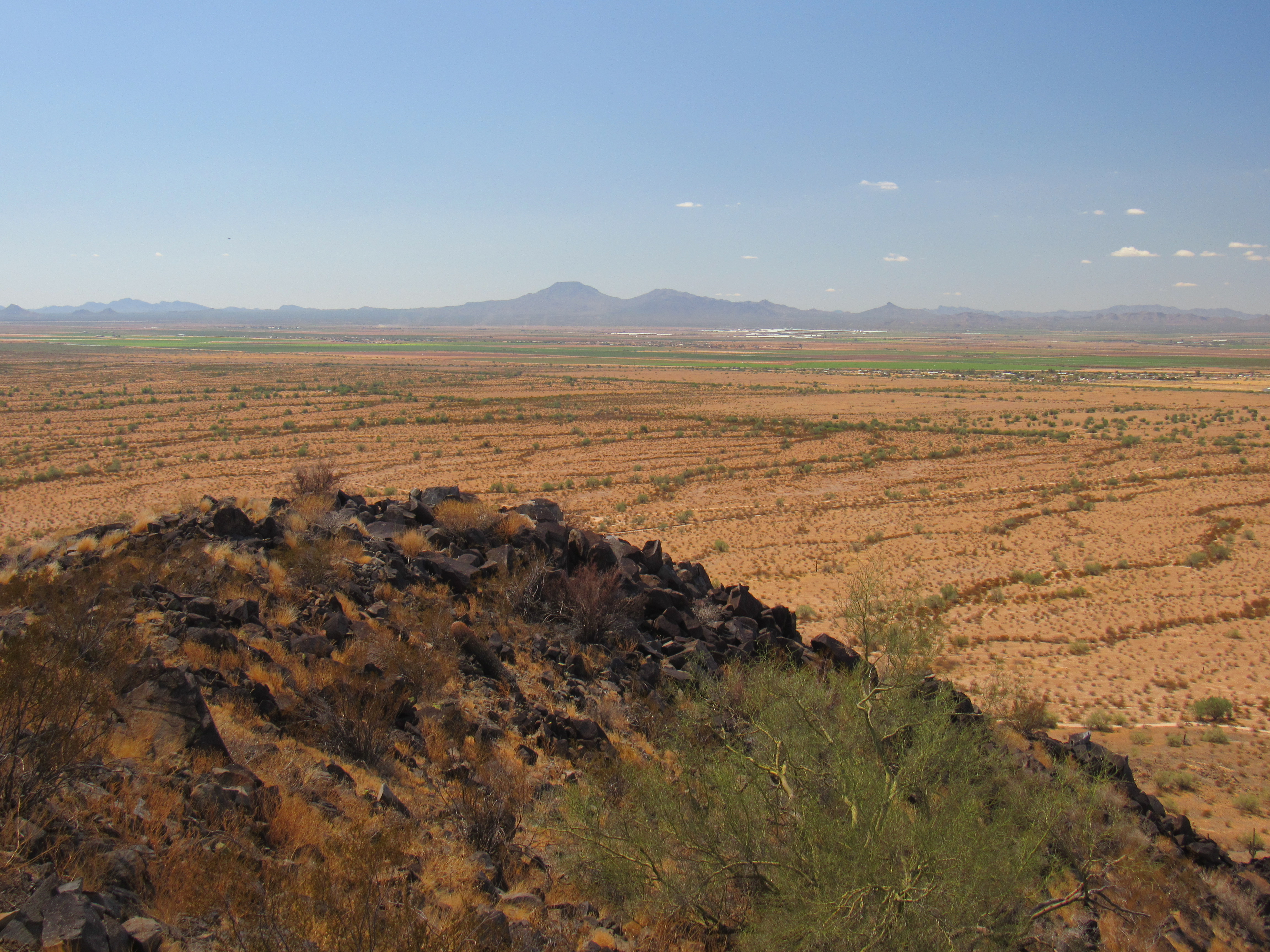
That’s Table Top, way out there.
There wasn’t much else to do, so after a bit of lunch I headed back down. There was one more I’d thought of doing on the way home, but the day was warming up and it’d keep for a later date.