
Please be sure to read “The Yukon – Part 1” before starting in on this chapter.
One of the things that I thought was pretty cool about where we were working at Yucca camp was this – only a few miles away, hard by the road which headed north from the Alaska Highway all the way up to the village of Aishihik, was a pretty little waterfall known as Otter Falls. It was nice, but ordinary enough. The thing that made it special was that it was the picture on the back of the Canadian five-dollar bill in circulation at the time. Here is my photo of the falls.
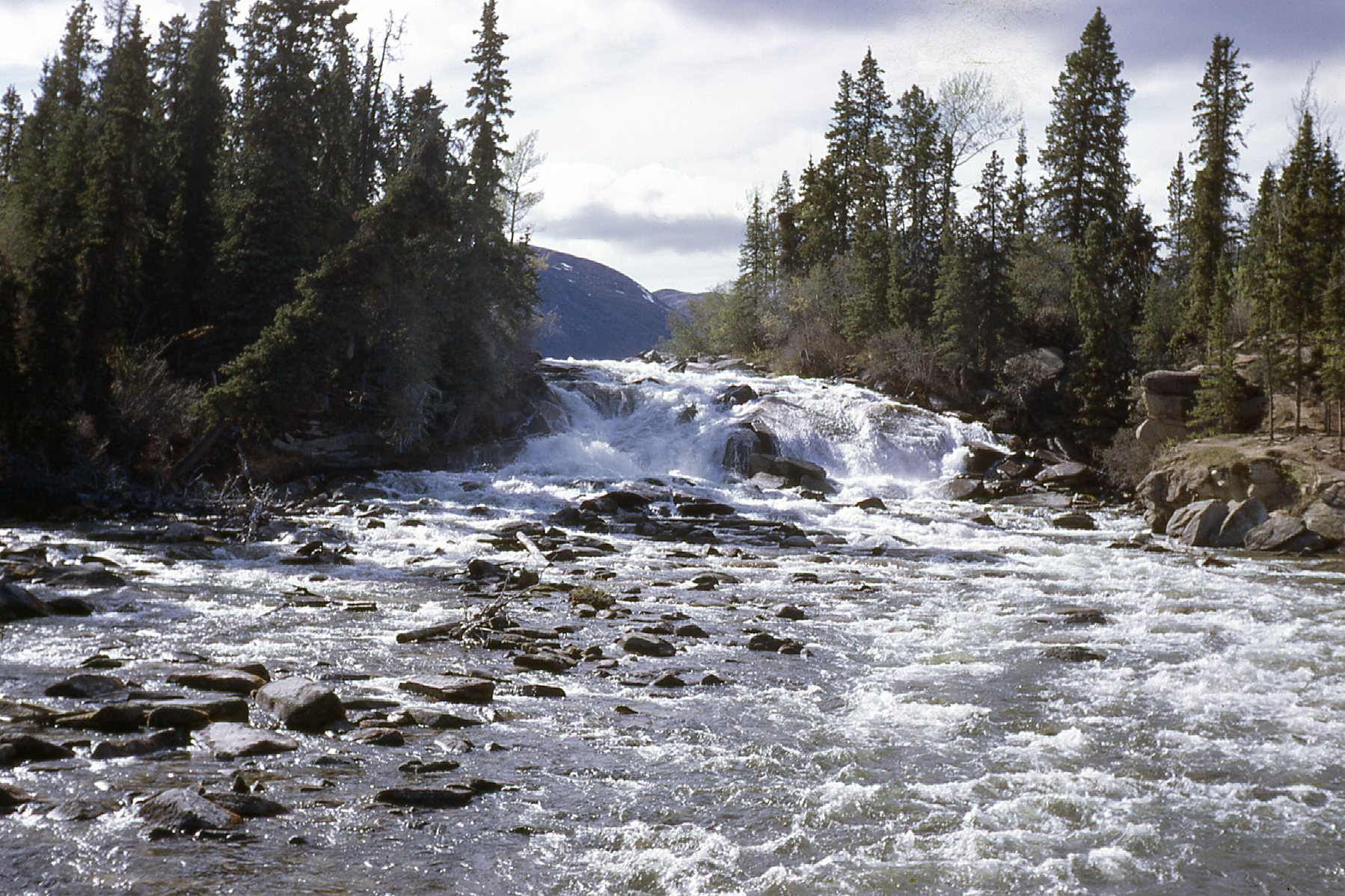
Otter Falls
I’ve attached a link to a website which shows all of the bills of that series that we were using in 1969. Personally, I’ve always thought that this series of bills that started to be used in 1954 had the nicest pictures of any of Canada’s money. When you open the link, scroll down about halfway through the article to the section entitled “Reverse”, where you can see all of the images that graced the money that I saw as a kid growing up in the Great White North. My photo is a dead ringer for the five-dollar bill, almost tree for tree.
This part of the Yukon was nice enough – no big mountains in sight, but easy country in which to work. Here are a few shots taken from around the property to give you the lay of the land. This one was taken on May 17th, when things were still pretty frozen.
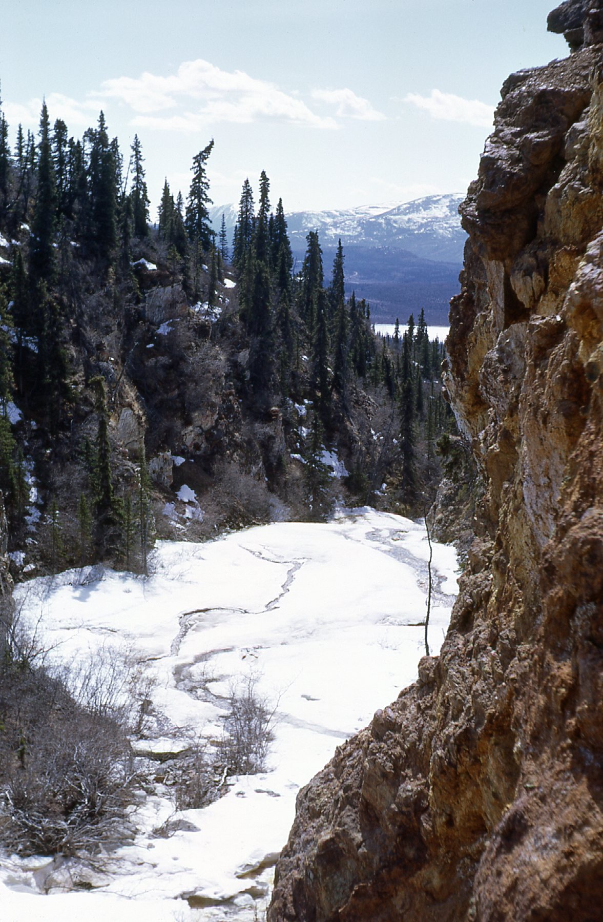
Frozen creek
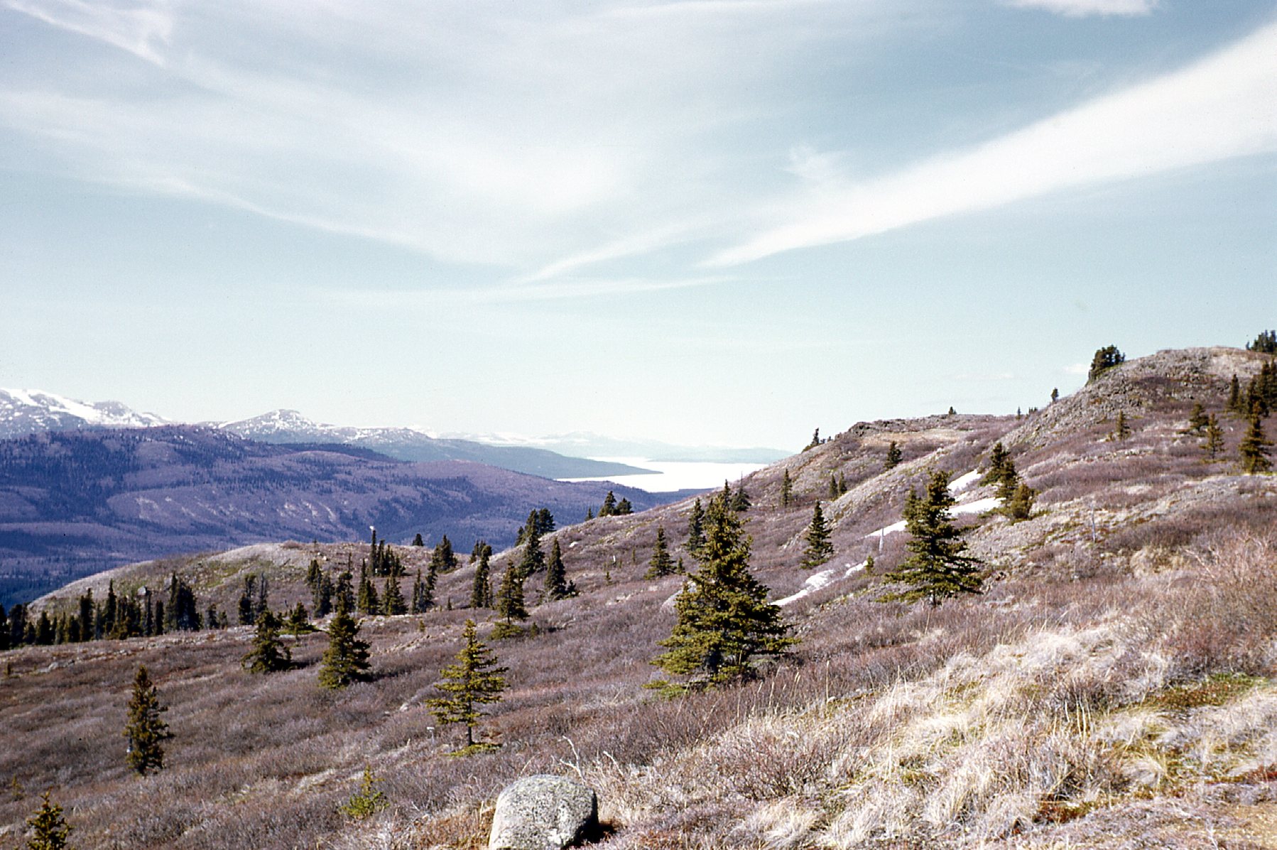
Looking north.
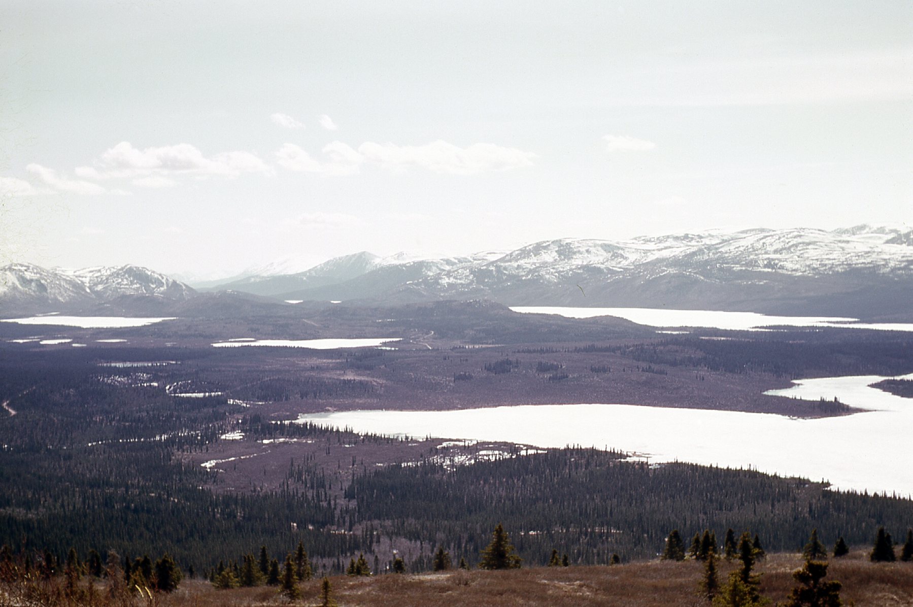
Looking south.
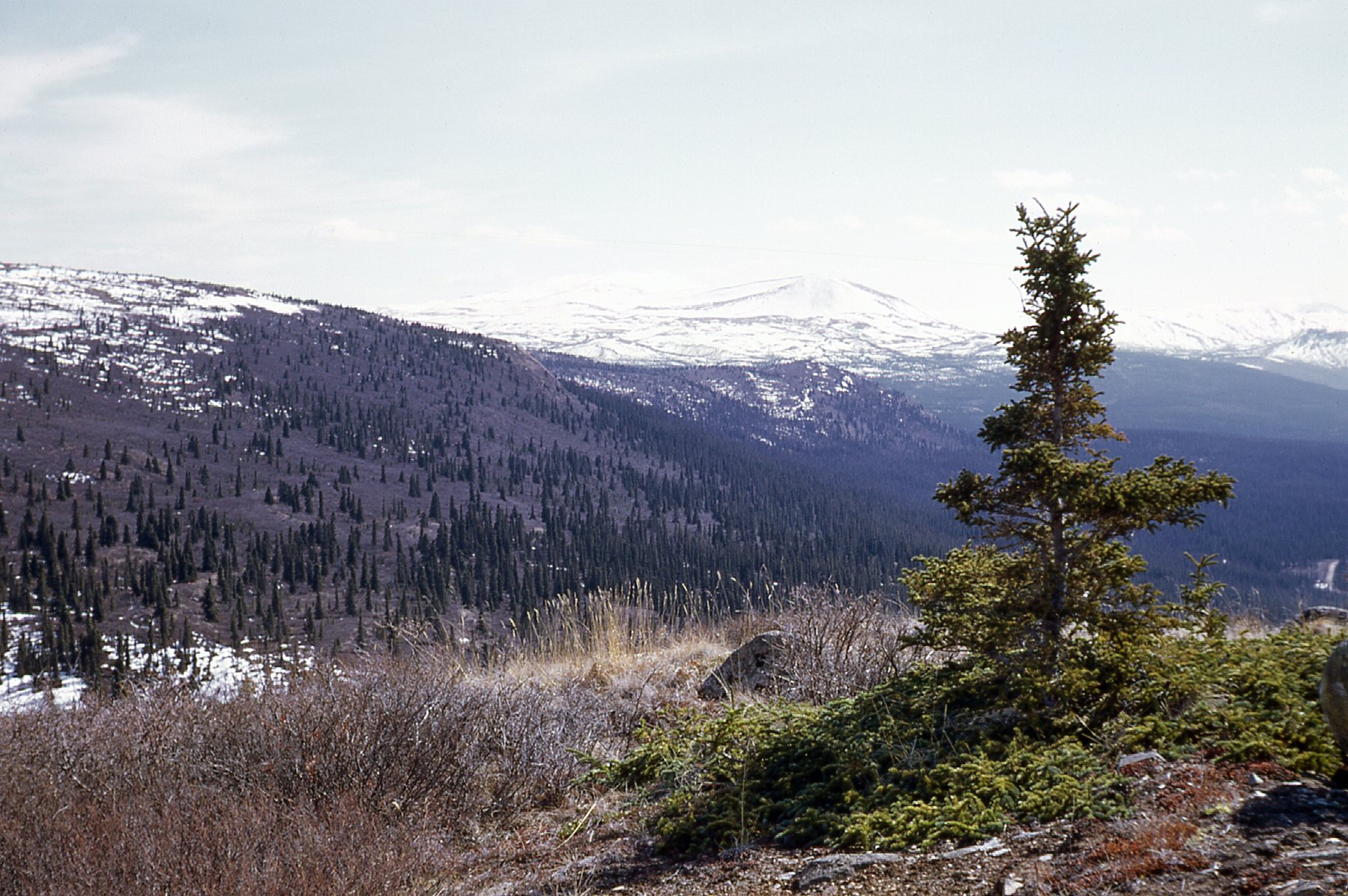
Looking east of south
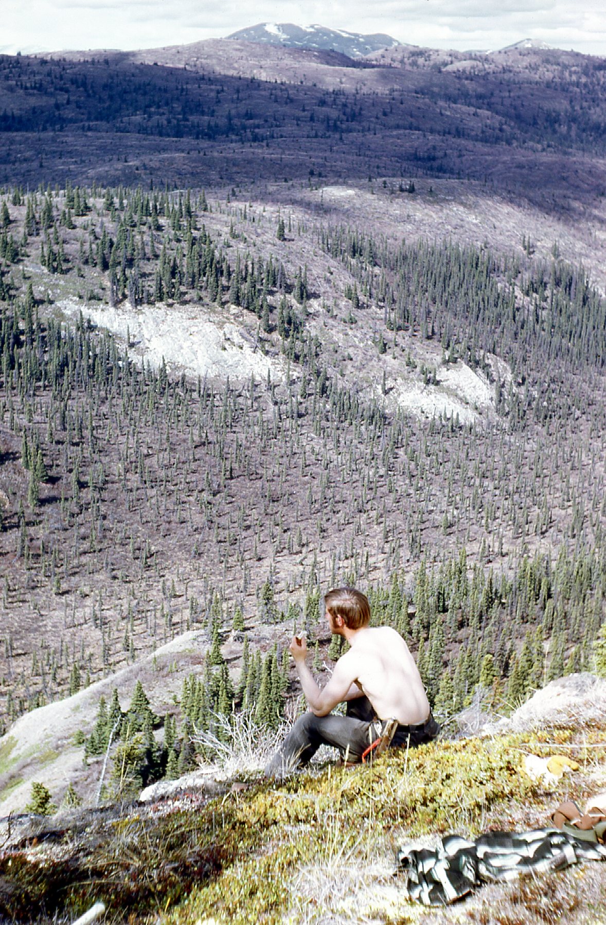
Keith having lunch, his trusty knife on his belt.
One day our boss came to camp from Whitehorse. He said that the company needed a good photograph of us in action on the property, one that would be included in a brochure that they would use to outline the company’s exploration efforts world-wide. A few of us climbed up into the mountains nearby and took pictures – here’s the one that made it. My boss is on the left; I’m in the middle; Tony is on the right.
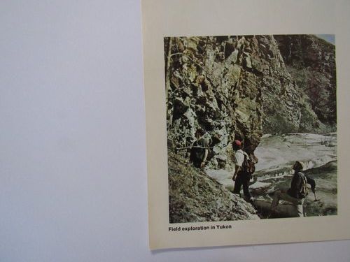
The brochure photo
By now it was early June, and I was deeply involved in geological mapping. I made the odd trip into Whitehorse with others on the crew to buy supplies, but for the most part I just worked out of camp and prepared maps. Things were starting to heat up, literally. On the 6th, the temperature at camp was 74 degrees F. On the 7th, 78, and we thought that felt hot. One evening, all 9 of us got roaring drunk in the cook tent and suffered for it the next day. Here’s a picture of us. Standing, left to right, are Mike; Keith – behind him is Kerry, their cook, and in front of him, face hidden, is Don; Tom; Tony. Front row, our prospector Bernie on the left, and Gerry on the right.
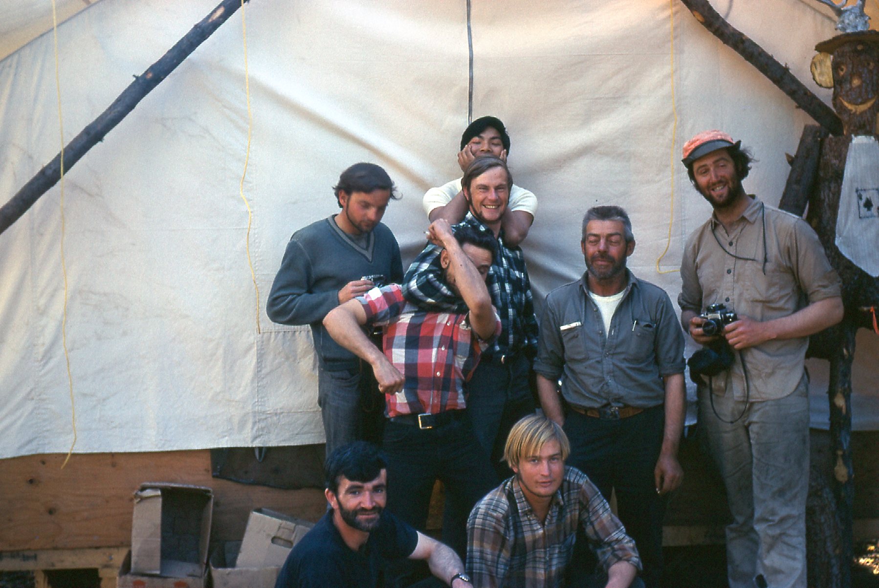
The crew at camp
Mike was teaching me how to play his guitar – I wasn’t the best student, so it was slow going, but I did enjoy it and looked forward to our evening sessions. On the 11th, it was 80 degrees in camp, then 86 the next day. The forest ranger paid us a visit and said that the fire hazard was too great and he was shutting down the bush, meaning that we could only drive the road or stay around camp. On the 13th, it was 91 degrees. The guys shot another bear that day at camp, a black bear – they get used to people, and can smell the food in camp. We burned our garbage every day so as not to attract them, but sometimes in spite of all your efforts they become a nuisance and then a hazard.
On the 14th, it hit 92 degrees in camp – it was hard to sleep because of the heat. Temperature records were being broken in many places in the Yukon. It eased up a bit, and on the 17th we went into town. I spent $1,100.00 of the company’s money buying all manner of provisions and supplies for my own project, including a fridge that runs on propane. My time was done at Yucca – I had helped as much as I could, and I was ready to move on to my own project, Cam. It would be like living in a different universe than Yucca. We’d only be able to fly in by helicopter, so there’d be no up and driving into town whenever you liked. We’d be essentially stuck there, come what may, until the project was over. That wasn’t a problem, though – we knew that in advance and were prepared for it.
On June 18th, we left Whitehorse in a convoy of two pickup trucks, fully loaded, and headed west on the Alaska Highway. About a hundred miles later, we arrived at Haines Junction. The town of Haines, Alaska sits 150 miles to the south near the head of a long fjord of the Pacific Ocean. That town of 1,700 is lucky to have this land-line, a highway that heads north through 43 miles of Alaska, passes through a 45-mile strip of British Columbia, then 62 miles of the Yukon to arrive at Haines Junction. This village has 613 people, making it the fourth-largest community in the entire Yukon, surpassed only by Whitehorse, Dawson City and Watson Lake. You may not know how huge the Yukon Territory actually is. With an area of 186,272 square miles, it is larger than every US state except Alaska and Texas – it even dwarfs California, #3, which only has 163,694 square miles. In fact, it’s bigger than California, New Jersey and Maryland combined, with room left over. Add to that the fact that the entire Yukon has only 36,000 inhabitants and you can see that it is a vast, empty land.
The southern end of the Kluane Range rises up above Haines Junction to about 8,500 feet elevation.
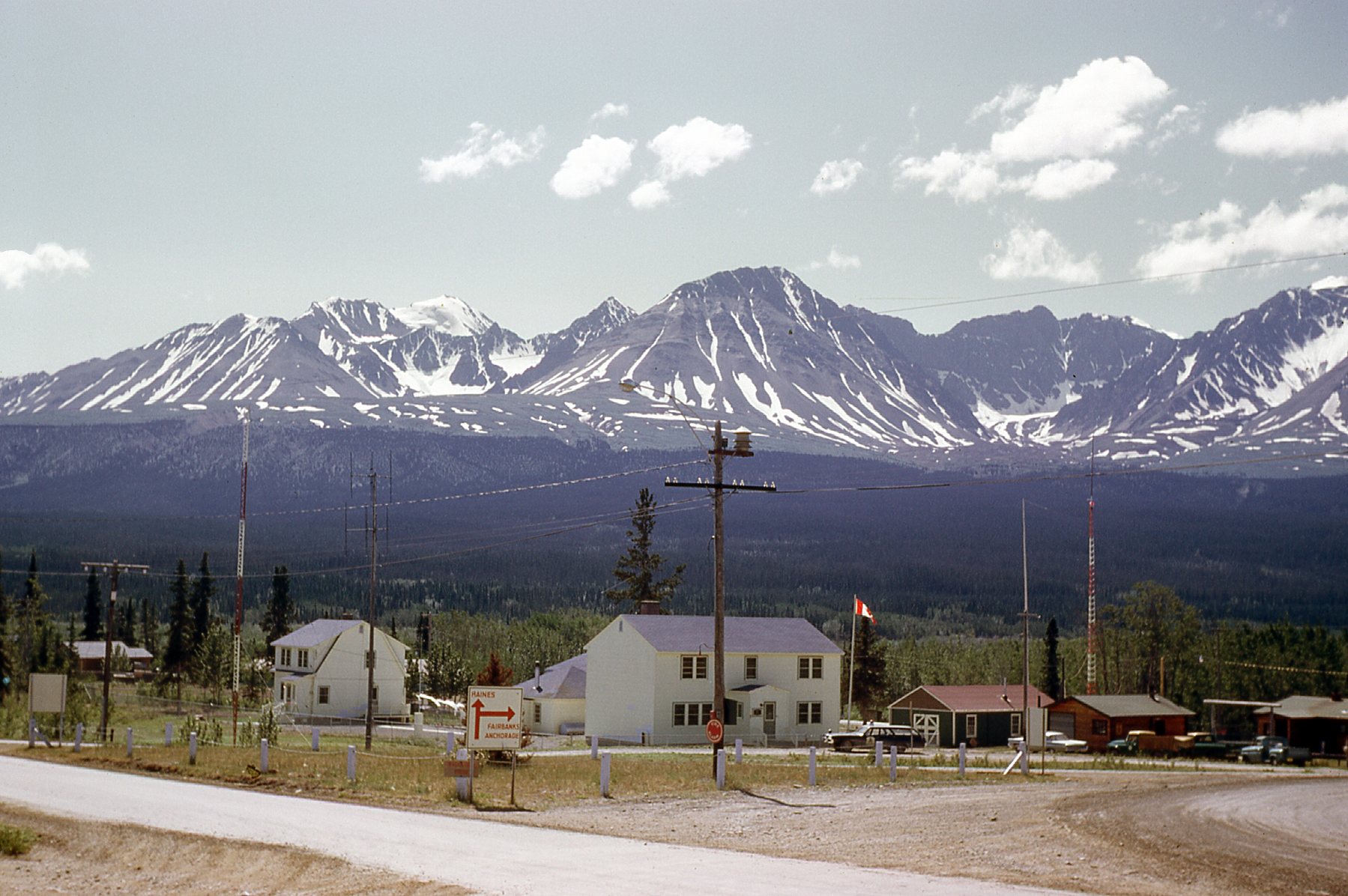
Haines Junction
We motored right on through, and continued northwest on the Alaska Highway. Forty miles later, we approached Kluane Lake, the largest in the Yukon. It is 50 miles long, and the highway runs along its west side. You can see in this next photo that the highway was gravel. Back in the day, truckers traveling the highway said they hoped it would never be paved, as that’d make it too slippery in winter conditions. Well, I’m not sure when it happened, but every mile of it is now paved.
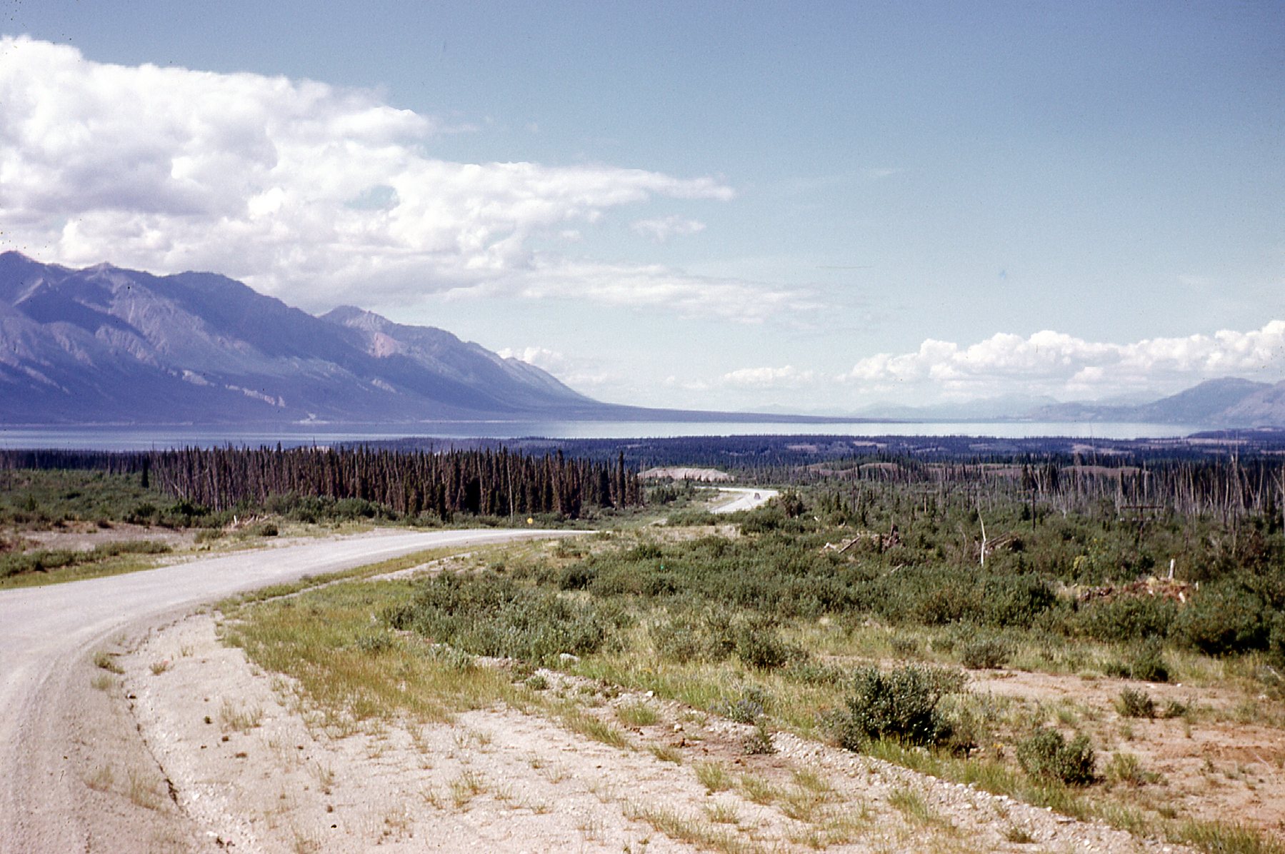
Looking north to the lake.
Halfway up the lake, we passed the community of Destruction Bay (population 55), and then 10 miles later, the larger community of Burwash Landing, population 95. The village is the administrative center of the Kluane First Nation – most of the population are Aboriginal. One claim to fame for Burwash Landing is this interesting event. Miles to the west in the heart of the Kluane Range sits Mount Lucania – it is the 3rd-highest peak in Canada. At 17,257 feet elevation, this giant peak saw its first ascent in June of 1937 by Bradford Washburn and Robert Bates. In an epic descent and journey back out to civilization, they walked 150 miles through the wilderness to safety at Burwash Landing.
About 22 miles beyond Burwash was our final driving destination, a small collection of buildings at Mile Post 1118. You could get a bed for the night, and even a cold beer. Mike was a real hit with the owner, who kept offering him drinks if he would play his guitar and sing. We spent the night there.
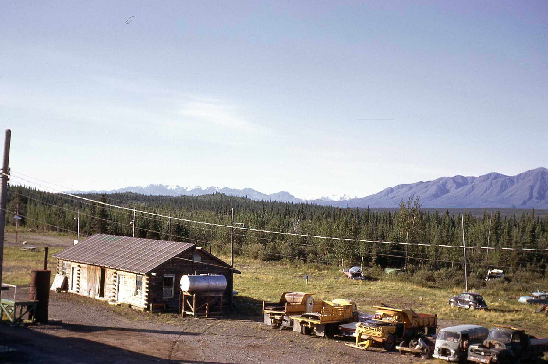
The view south from Mile 1118 along the Alaska Highway.
Finally, the big day came – on June 19th, I flew by chopper into Cam. It was so great to finally be there – now I could get down to work on my own project. Our camp was situated at 3,000 feet elevation in a clearing in the bush. A small creek ran right past it, which was our water supply for the summer. Getting the camp built was our highest priority. Plywood and 2x4s had already been flown in, so we set to work. Every tent was a construction project of its own. We would cut down trees, remove all the branches, cut them to length, then lay down half a dozen of them parallel to each other. On top of them would go another row at a right angle to the first ones if needed, and the tops of these would have to be level. That done, we’d nail down sheets of plywood for a floor. Then, using 2x4s, we’d frame walls and then rafters. A heavy canvas tent would be stretched over the rafters and down the walls, and tied down securely. Finally, we’d place a ridge pole on top of the tent and put a tent fly over top of that to keep it off the tent fabric itself, and tie it down well. We’d make a door out of plywood and use hinges to attach it to the wooden tent frame, and voilà, a very livable tent, dry in any weather. We needed several such tents to complete the camp. One as a cook tent, where the cook would store his foodstuffs and prepare meals, and we would eat there too. I had a tent to use as an office, complete with a drafting table we built. Several other tents were for sleeping, and could accommodate 2-4 men each. Here is a view showing the finished camp, but there are 2 more tents not visible. The cook tent is the big one on the right with the brown tarp. Each tent was fitted with an airtight wood-burning stove to keep us warm.
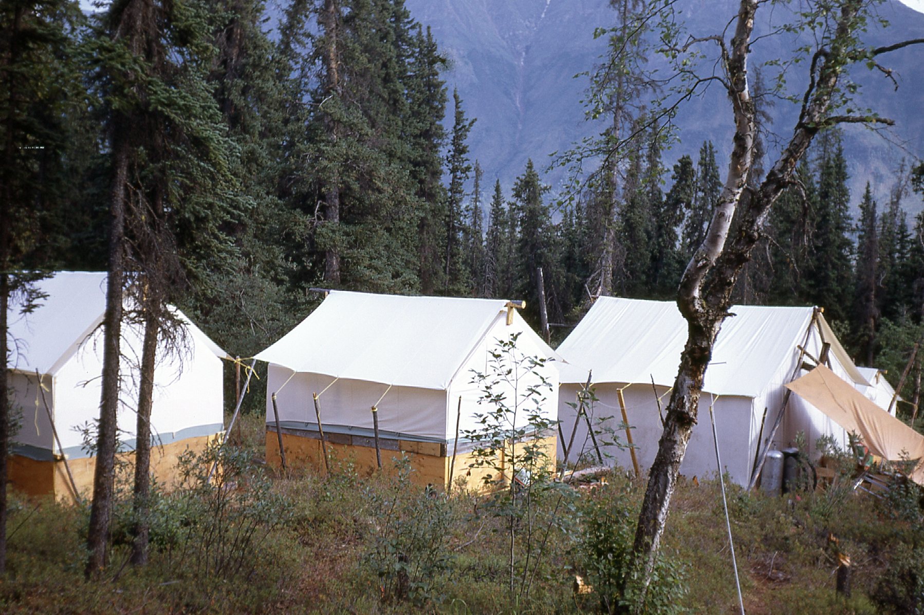
Cam camp
One of the very first things that had to be done was to string up radio aerials so we could communicate with the outside world. We had a powerful 2-way radio for base camp use. Powered by a car battery, we would use certain frequencies to talk to Yucca camp and, most importantly, to our boss Bud who lived in Whitehorse for the summer. By the 20th, we had that all up and running. The same day, Don and I climbed up 2,500 feet to nearby Peak 5510.
Peak 5510 from camp. See the aerials?
We set to work right away. The first order of business was to look for claim posts that had been placed by others in the past. We were here on an existing mining property to examine in detail a group of mining claims, to determine if there was economically- viable mineralization present. We set up a base line in the valley bottom – this involved cutting down a lot of trees to clear a path to be used later for surveyors who would join our crew.
Something we noticed soon after arriving at Cam was that the air was becoming smoky. For an entire week, it got worse every day until visibility dropped all the way down to a quarter-mile and the sun appeared to be a reddish-orange color. We learned that a huge forest fire was burning in Alaska hundreds of miles away, and we just happened to be downwind of it. There was no danger to us from the fire itself, but the smoke made it hard to breathe.
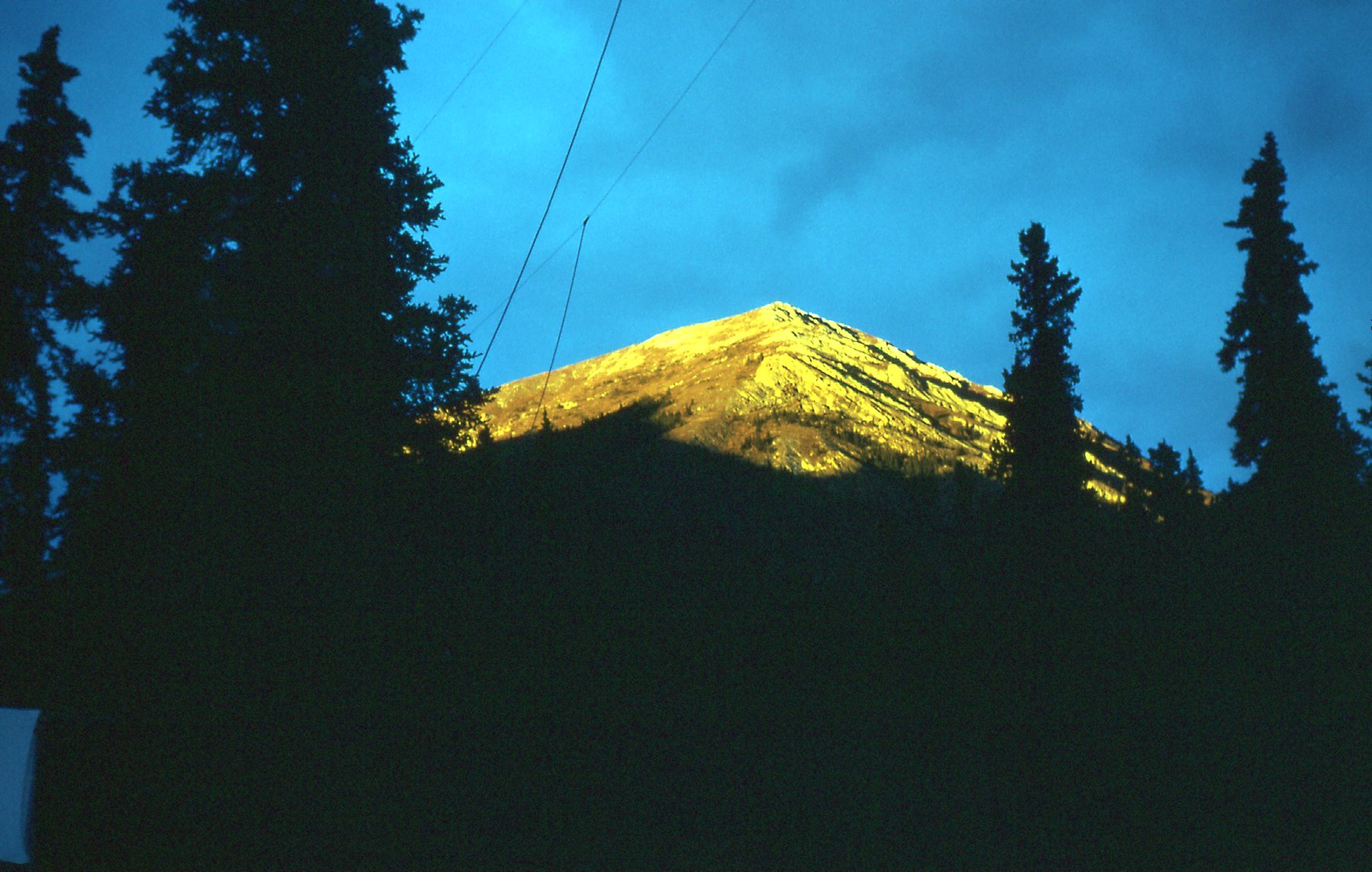
At this early stage of things, there were only 3 of us in camp – Don, our cook; Keith; myself. The boss had requested that I come up with a preliminary map and a brief report on the mineral showing near camp, and have it ready for him when he next visited. He needed something to present to his bosses back in Vancouver. I worked overtime on this, and when he arrived on June 28th I had ready for him a six-page report and a preliminary map. He arrived with Mike, who would now stay with us as a permanent member of the crew, and Gerry, a student who would be with us as long as we needed his help. By now, temperatures had moderated and it felt like summer. Not so when we flew in for that first look at Cam a month earlier. Then, on May 26th, mighty Kluane Lake was still frozen over. Here is a look at Talbot Arm, the 20-mile long northernmost stretch of the lake, as seen from the chopper. In this view, we are looking south to the main body of the lake.
Looking south
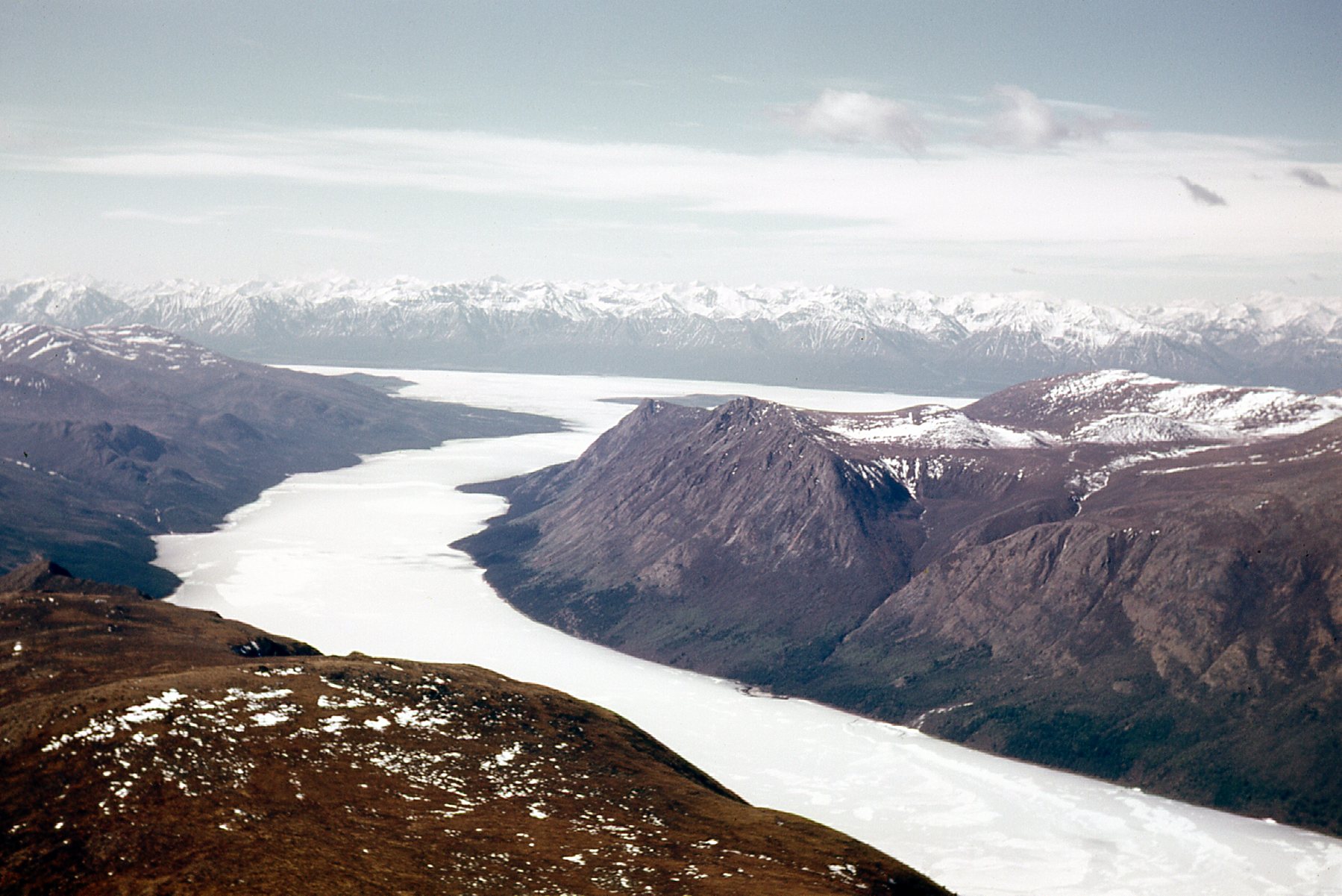
Here, we look the other way, to the north up the arm.
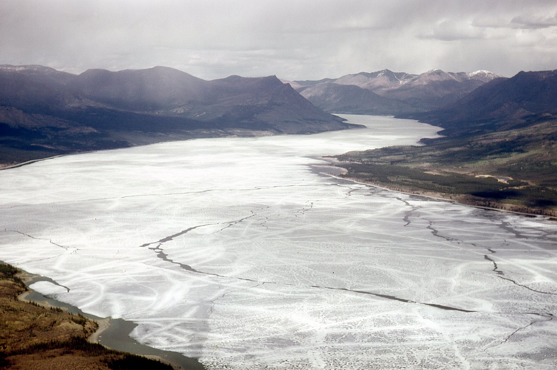
Looking north up Talbot Arm.
This is what our campsite looked like on May 26th before any tents had been put up.
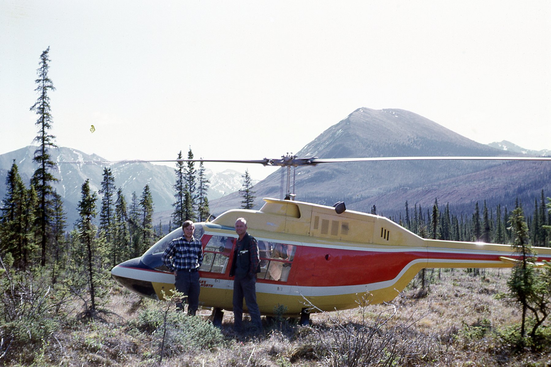
Keith on the left; our boss Bud Lazenby on the right, and the Jet Ranger helicopter.
The above photo shows that the chopper had to land in a clearing – not the best situation. In late June, Keith supervised the construction of a beautiful pad made of logs that any chopper could land on. It was solid and roomy, and he received compliments from pilots who used it.
Don and Mike shared a tent, but unlike the rest of camp, theirs was across the creek from all the others. Another important project which took most of 5 days was the building of a bridge to span that creek. It too was as solid as the Rock of Gibraltar – we had a talented group of builders as a crew.
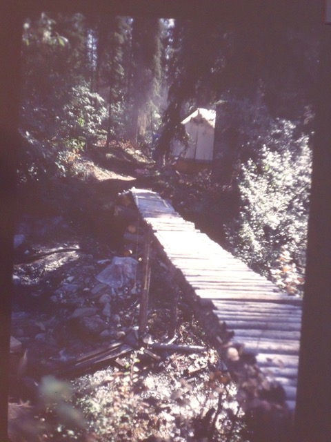
The amazing bridge
The second of July saw me start the mapping in earnest. I had to transfer all of my data to paper and needed a proper place to do that. We already had a roomy tent set aside as an office, so I went ahead and constructed a large drafting table from a sheet of plywood. Not only would I be spending a lot of time in the field mapping, but also endless hours processing all of that and getting it on to paper. This was long before any computers were available to help with this work, so it was slow and laborious.
Our project was in its earliest stages and months of work stretched ahead of us, but we were ready for anything. Well, almost – there were some big surprises coming soon.
Please stay tuned for the next chapter of this story, entitled “The Yukon – Part 3”