
When I think back on my first 20+ years of climbing, I realize how lucky I was. Learning to ply my craft in the Coast Range of British Columbia was an amazing experience. My main focus was on an area of about 5,000 square miles, which encompassed what is known as the Fraser Valley and north from it for about 60 miles. Five thousand square miles might seem like a lot, but when you consider that B.C. encompasses about 365,000 square miles, which translates to a third again the size of Texas, it’s not such a big area. But the mountains, oh My God, they were endless! So much alpine country above tree-line, so many snowfields and glaciers, so much rock! Every kind of climbing environment you could wish for, really, and you could pick and choose to suit your tastes.
By the time the mid-1970s rolled around, I was a serious peakbagger with a goal of 2 peaks per week. In addition, I tried to pick ones that would average a thousand vertical meters of climbing each. The peaks there lent themselves to a goal like that because they had plenty of relief from their bases. One area in particular, only about 60 air miles east-southeast of my home, was simply bristling with fine peaks. It straddled the international boundary, and had so many fine objectives that it was positively distracting.
A lot of interesting things are happening in that border region. We have creeks and rivers that flow north from the States into Canada, and others that start in the Great White North and flow south into the U.S. Mountain ridges extend from one country to the other. There’s even a major lake that spans the border. Trails cross, and even one road out in the wilderness which comes down from Canada and then abruptly ends 2 miles inside the U.S. – interesting stuff.
Something that had caught my eye early on was a pair of peaks which seemed to celebrate the very border itself. They sit on opposite ends of a ridge which spans the boundary, and they have the very apt names Canadian Border Peak and American Border Peak. The one on the U.S. side seemed more daunting, so I never seriously considered it, but the Canadian peak seemed within reach.
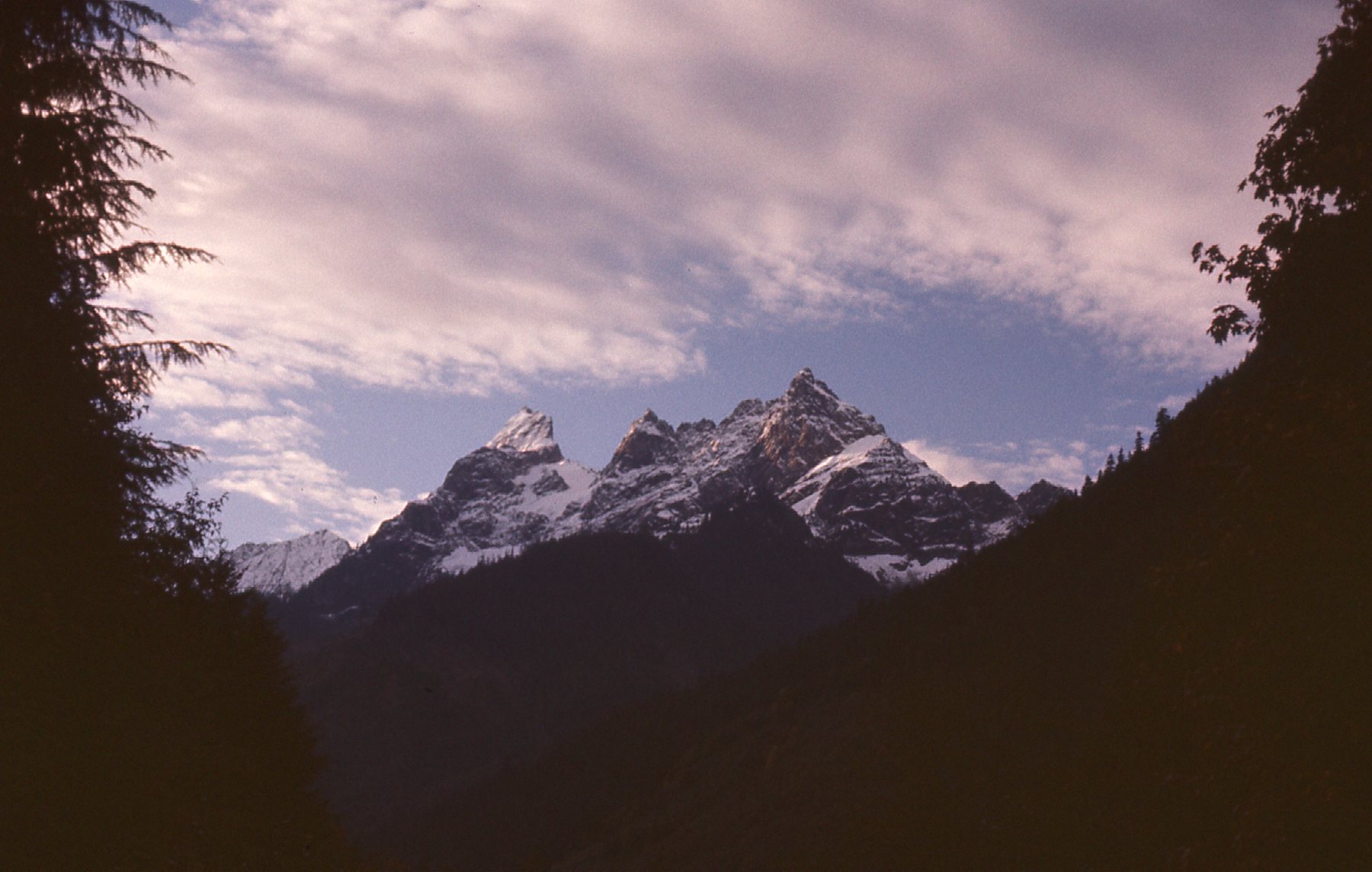
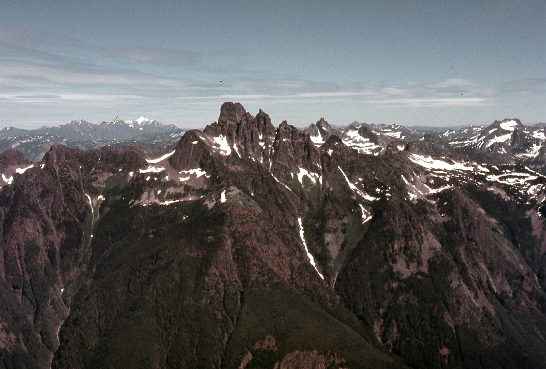
Very early on the morning of October 11th in 1975, I left my home and drove for 3 hours to get myself situated for the attempt. That meant driving up Slesse Creek on the old logging roads, and in my old rust-bucket of a VW Beetle that had me parking at around 1,350 feet elevation. It was 8:30 AM when I started on foot, walking up an old spur road to where it ended at around 2,500 feet. Here was my first good look I had that day of the peaks when I was still driving in farther down the valley. American Border Peak is the sharp one on the left, while Canadian Border Peak is the the sharp summit to the right of center.
Looking south to the peaks.
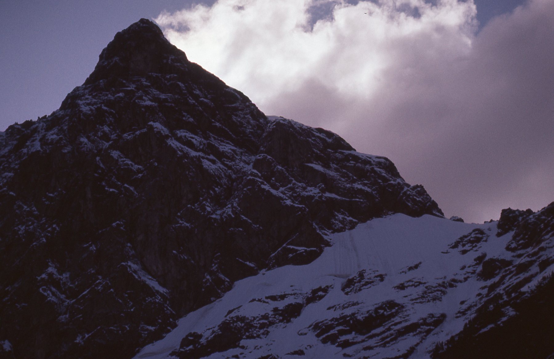
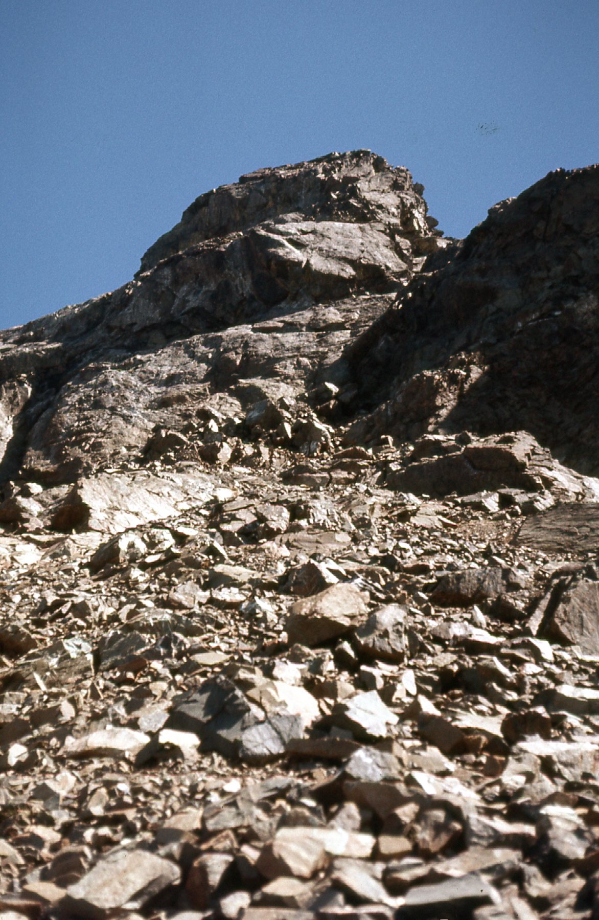
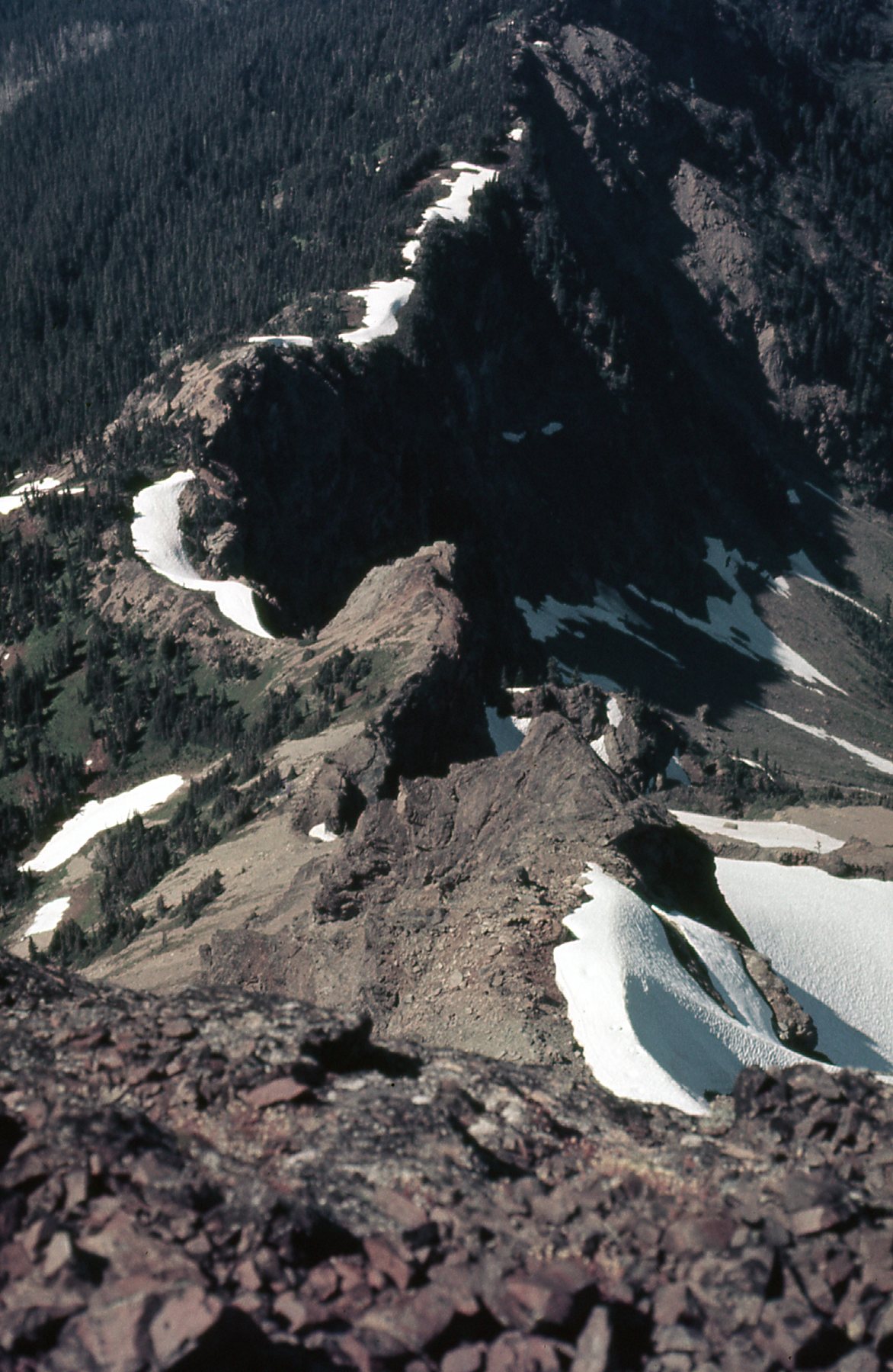
Canadian Border Peak is certainly an imposing objective. Guidebooks describe it as “a steep rock peak” and it lives up to its name. It was first climbed in 1932 by a few of the hard men who made early ascents of several of the area’s peaks. Here’s a look at the north face – I climbed up to a shoulder beneath this face.
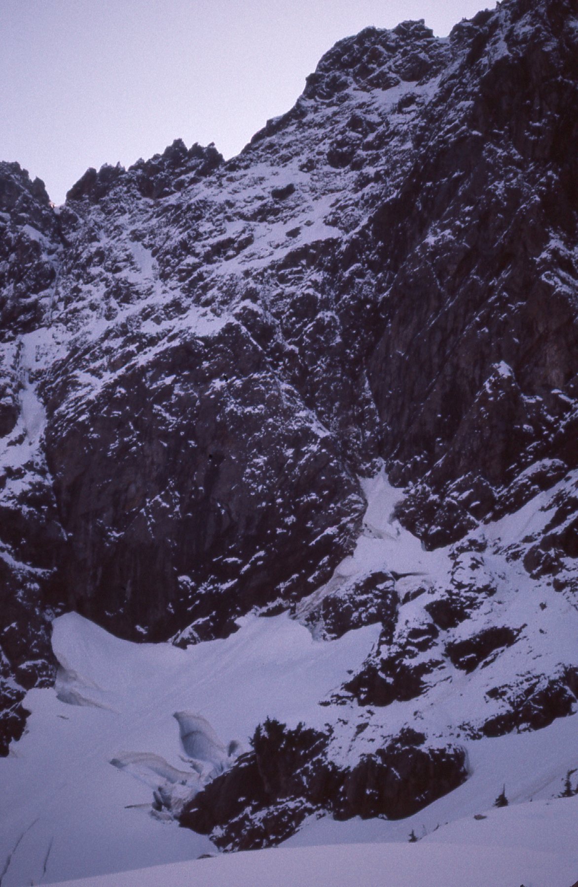
The north face.
Farther to the left of the above photo sat the northeast rib. Dick Culbert did an ascent of the peak via this rib in 1963.
The northeast rib.
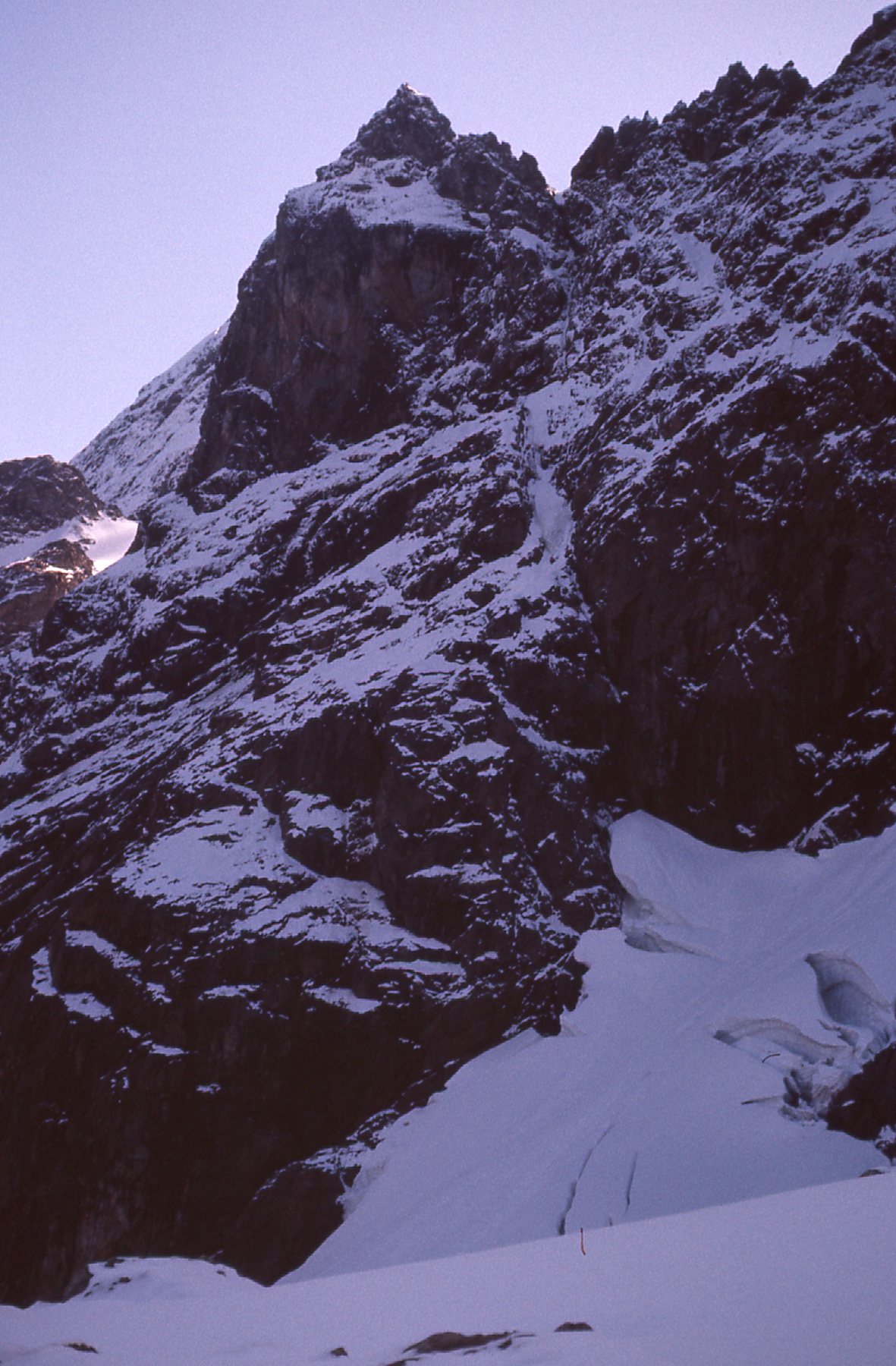
I climbed up into a cirque below the north face and had a good look up to the northwest ridge – I had to get up there, to the skyline seen in the next photo. There’s avalanche danger there, as can be seen by the tracks in the snow.
Looking up to the northwest rib.
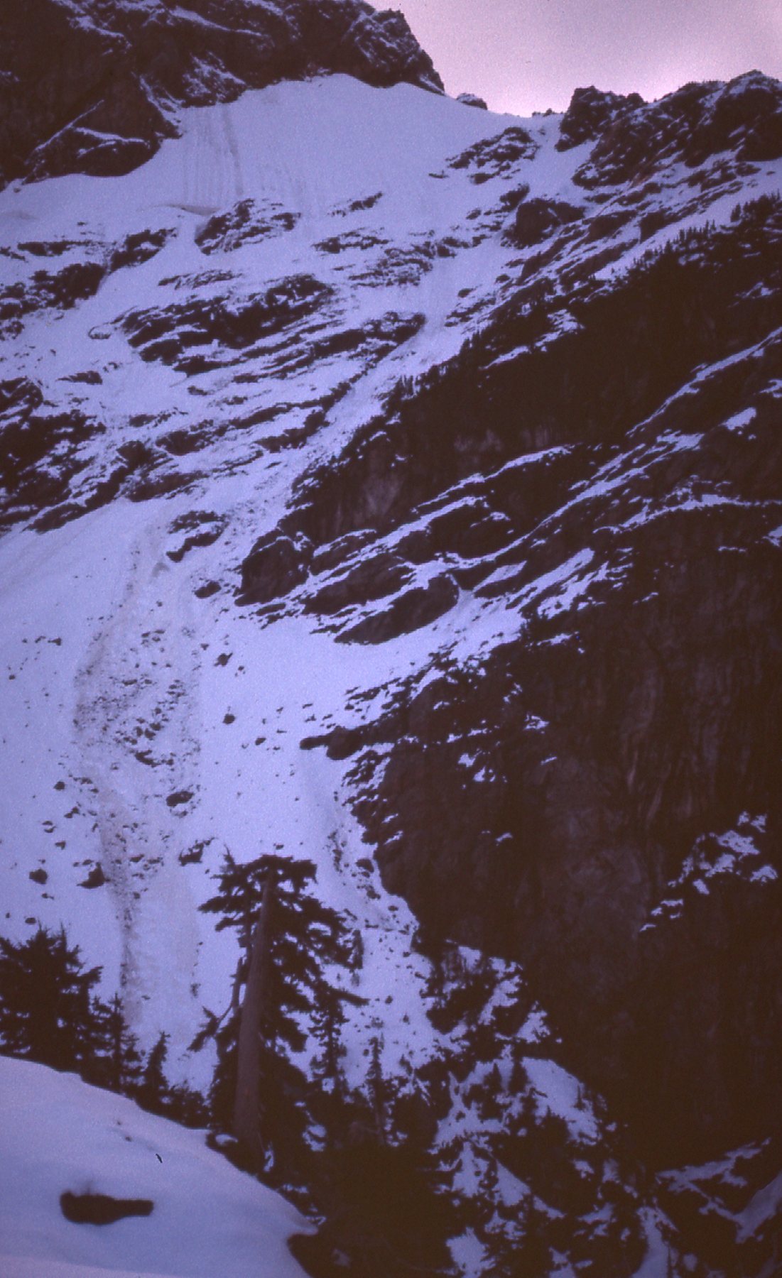
I kept climbing but Man, there was a lot more snow than I had planned for! It was a real slog, and a lot of hard work. No snowshoes, just boots. When I had worked my way higher, here’s a good view I had of the upper part of the rib. From the level ridge on the right edge of the photo, it was still almost 2,000 vertical feet to the summit up the steep ridge that climbs from there up to the left.
The upper part of the climb.
Well, I eventually made it up to that flat ridge seen in the above photo at 5,600 feet elevation – it had taken a full 5 hours to climb 4,250 vertical feet. There was just too much snow! I wasn’t looking for an excuse not to continue, but winter had come early to those parts and the prudent thing to do was to get back down safely. That didn’t stop me from taking a few parting pictures, though. Here’s one of Mount McGuire, 5 miles away to the northwest.
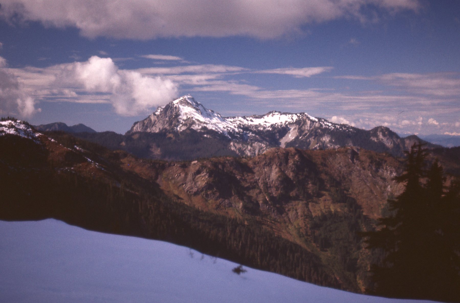
Mount McGuire
Across the valley of Slesse Creek sat the very impressive Slesse Mountain, its top hidden in clouds that afternoon. More on it later in the story.
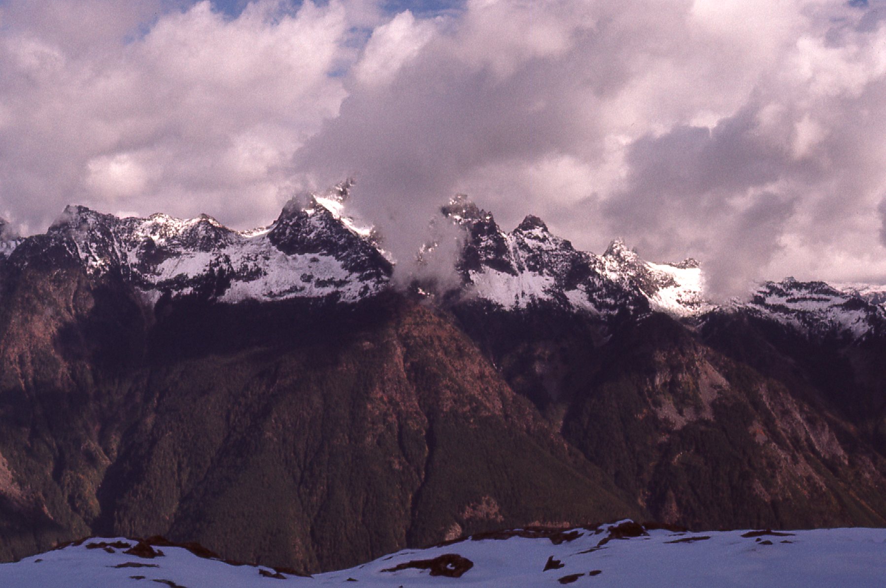
Slesse Mountain
On my way down, I caught this quick glimpse of American Border Peak, brooding up there in the clouds.
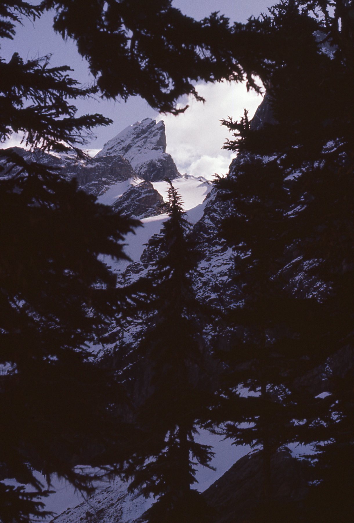
Yikes!
Today’s attempt had convinced me that 1976 would be a better year to try again, but I’d return earlier in the season before the snow flew. In spite of my lack of success, my diary entry for that day states “It looks like an interesting peak, and not too difficult”. In retrospect, that seems like quite a boast.
On August 19th of 1976, I returned to the mountain with friend Mike Ryan – however, the weather turned on us and we were rained off the mountain before we’d barely begun. So much for a second attempt – this was fast becoming what we in the business call a grudge peak.
Just 2 days later, on the way to pick up Mike early in the morning, I got things started with a speeding ticket. We were on our way to try the peak once again. We got there early in the day, and this time the weather was perfect – nothing would stop us this time, or so we thought.
We started again at 1,350 feet elevation and walked up the old spur road, long-abandoned by loggers. Once below the north face, we crossed into a wide cirque, which we climbed and headed generally to the right to eventually gain a shoulder. We then climbed up the shoulder to gain the main northwest ridge. This ridge would be our path to the summit. Here’s a look showing the very steep terrain we encountered along the way.
A look up the northwest ridge.
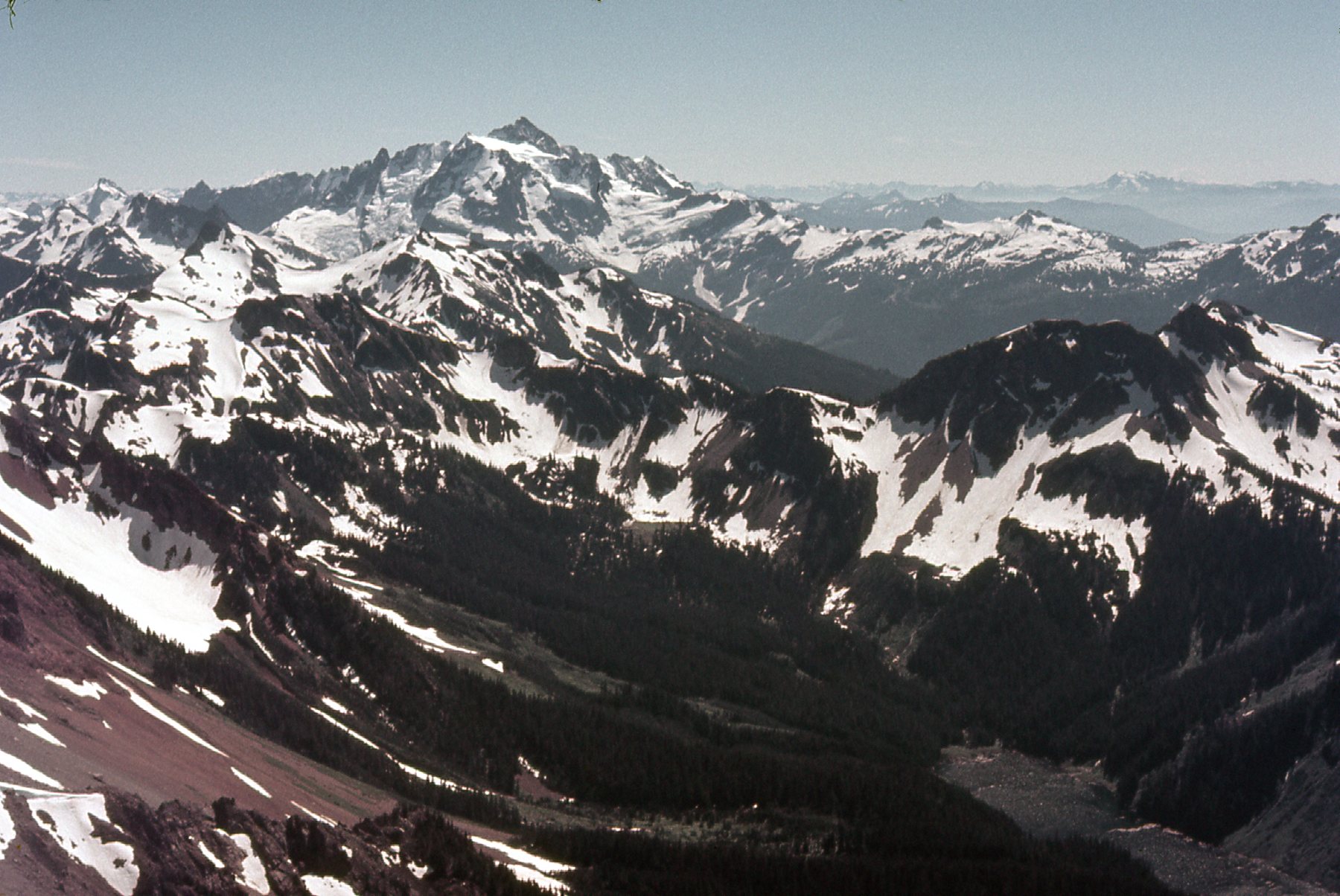
We climbed up the ridge to where it butted up against the peak, and to avoid that we got ourselves over to the right and into a gully full of loose rock. This gully was a solid Class 3 and pretty nerve-wracking. Once we got above the gully, we reached the final part of the climb, the summit pyramid itself. Steep! This part is rated as harder than the gully, verging on Class 4. We were un-roped, and the exposure was serious in spots. About 200 vertical feet below the summit, Mike called it quits. There was an exposed knife-edge spot that he was not willing to try. I kept on going and soon stood on the summit. What a spot! The unobstructed views were fantastic. Allow me to share them with you here. This first one shows Church Mountain out there on the left side, the snowy one on the horizon. Also, in the lower right you can see the border swath, a 20-foot-wide line which goes up and down each ridge. This cut is maintained by both countries so the international boundary is clear to see.
Looking a bit south of west.
Check out this next one. We see Mount Tomyhoi only 2.5 miles away on the near right, and that’s Mount Baker in the center 17 miles distant.
Looking southwest.
Here’s what I saw to the southeast, definitely the elephant in the room. It’s American Border Peak, a full 600 feet higher than the 7,400 feet where I stood. You can’t get there from here – too difficult, although the 2 summits are just under 5,000 feet apart. The border cuts across the ridge just beyond where the steep part starts up the other peak.
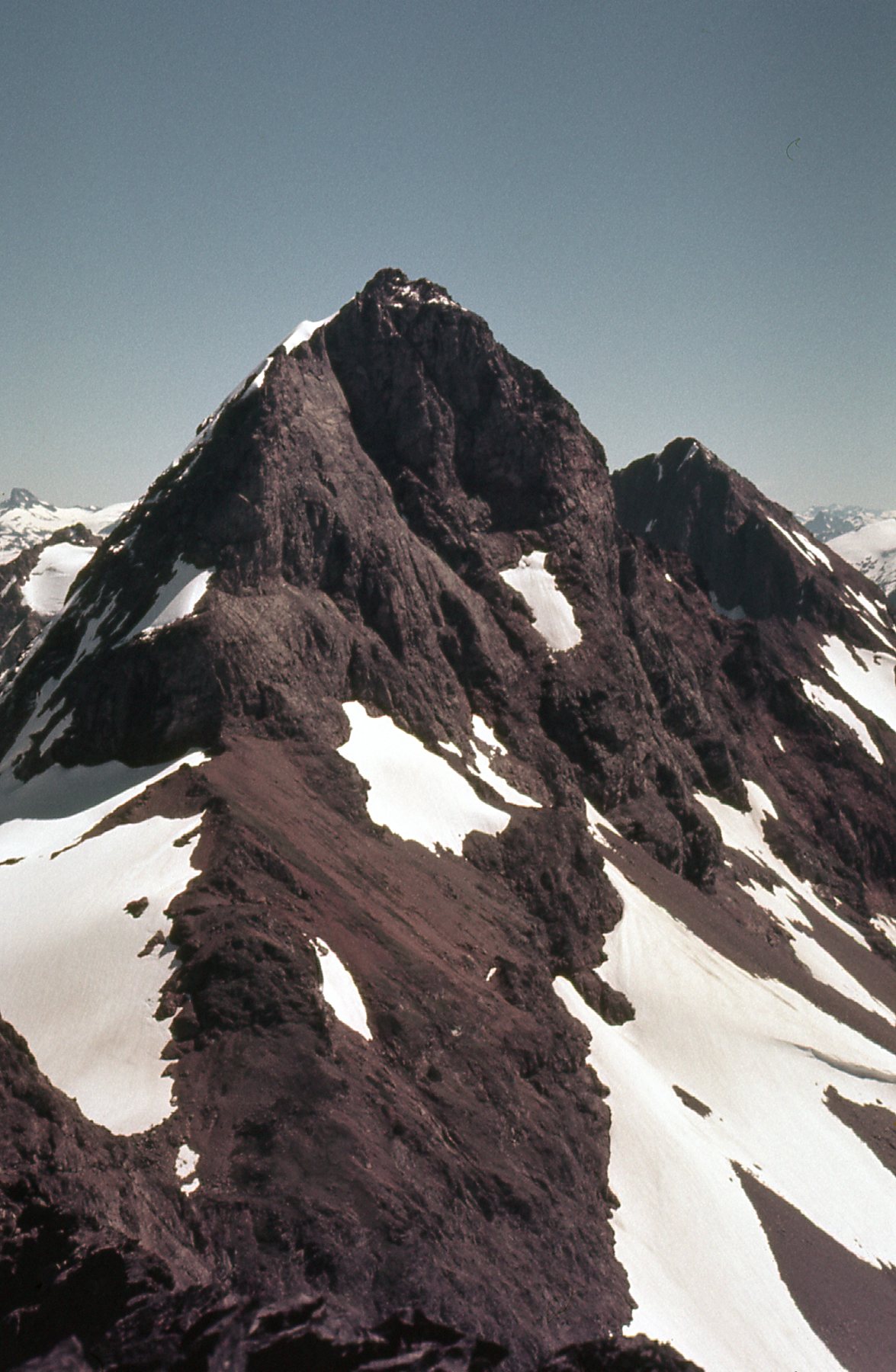
American Border Peak
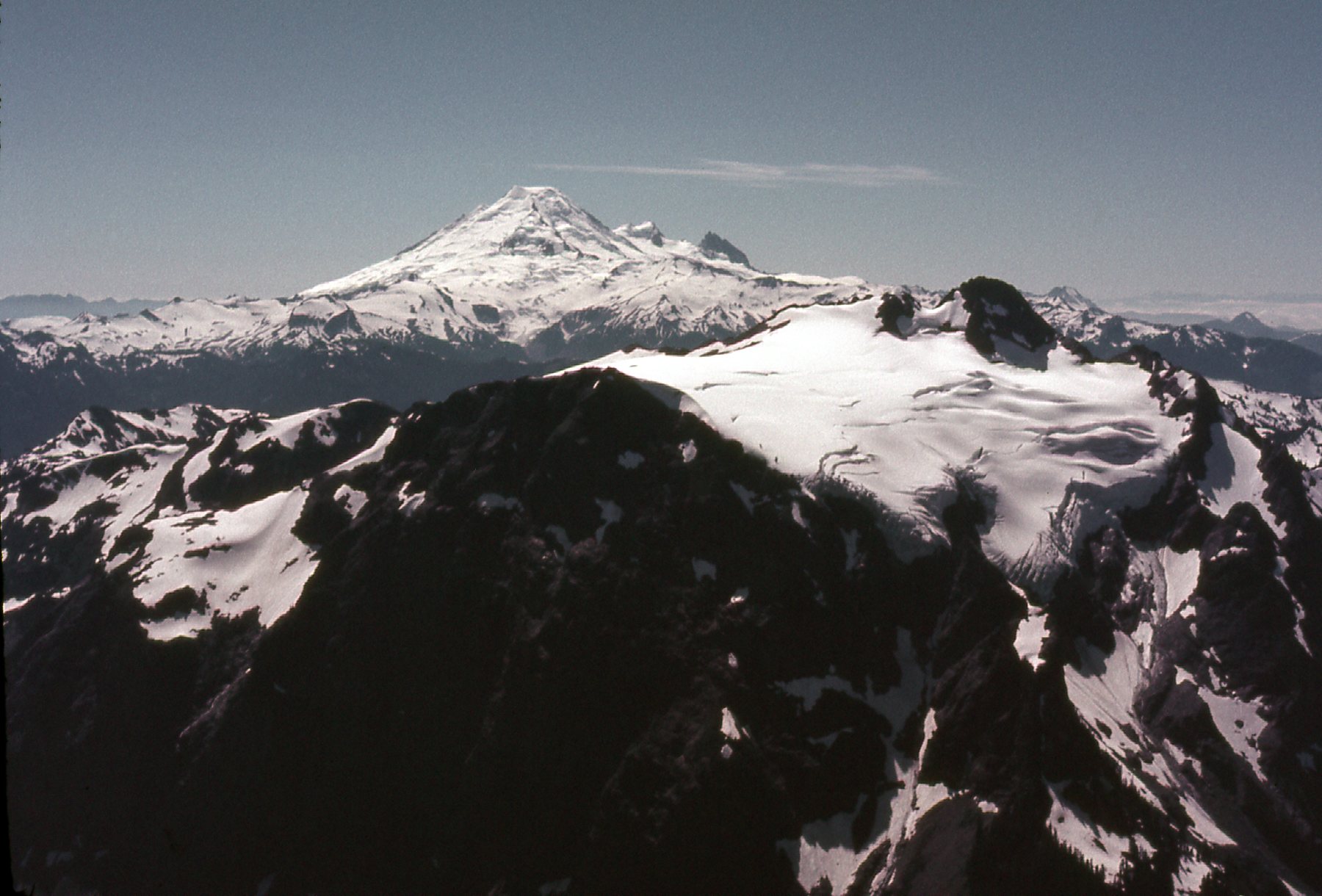
This next one looks a bit more west than the previous photo – the view would be a bit to the right of American Border Peak. It shows Mount Shuksan, elevation 9,131 feet.
Mount Shuksan, about 13 miles away.
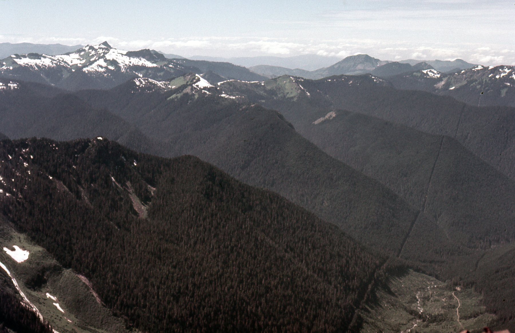
If we look a bit farther east, or to the left, of American Border Peak, we can see the wilderness of peaks that are in the Mt. Redoubt area out there in the distance. And just in front of us is the dark southeast ridge of Canadian Border Peak, problematic to put it mildly.
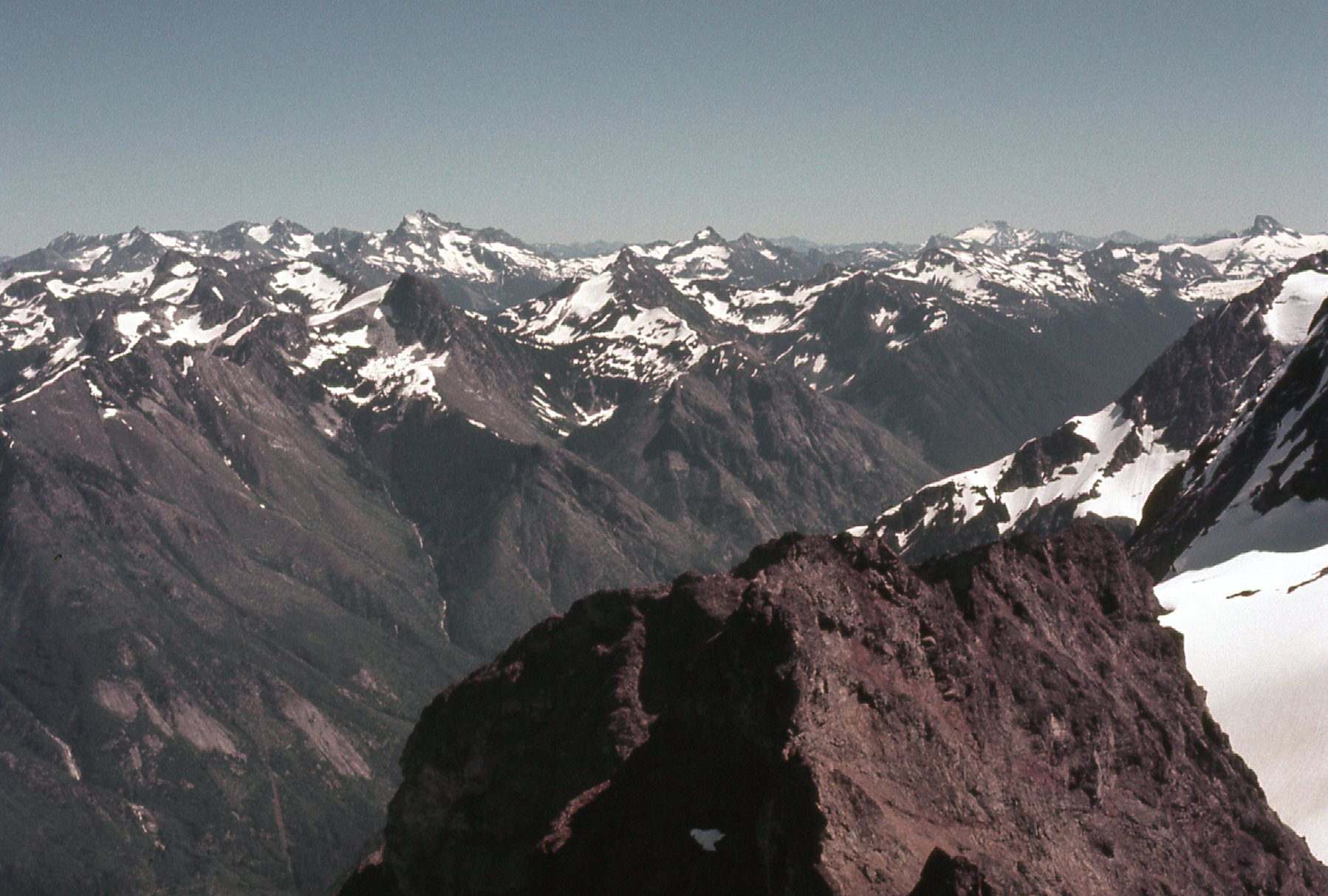
Southeast towards Mt. Redoubt
I wanted to show you another view of the border swath. Here, we see how the Canucks have logged right up to the boundary (Canada is on the right side, the US is on the left).
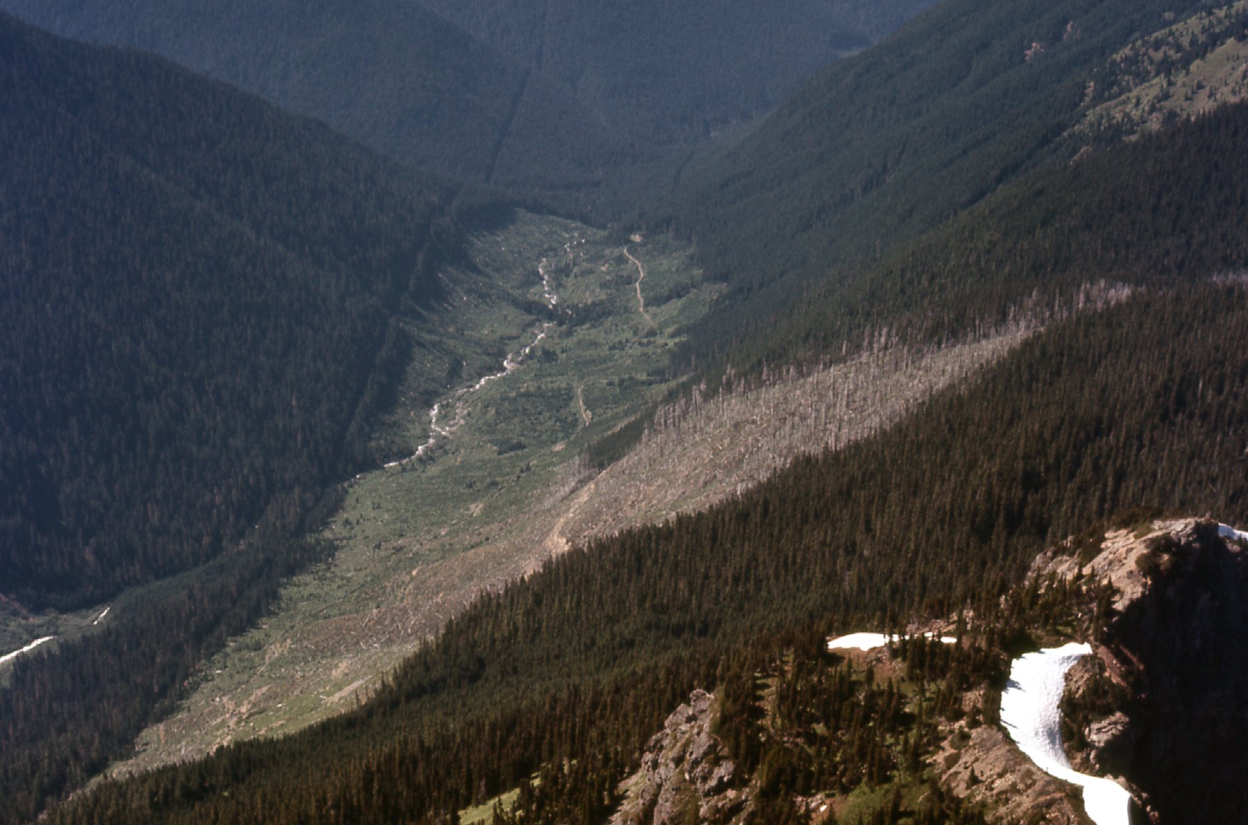
Logging in upper Tamihi Creek
This knife edge on the west side of the summit gives you an idea of how steep the mountain is.
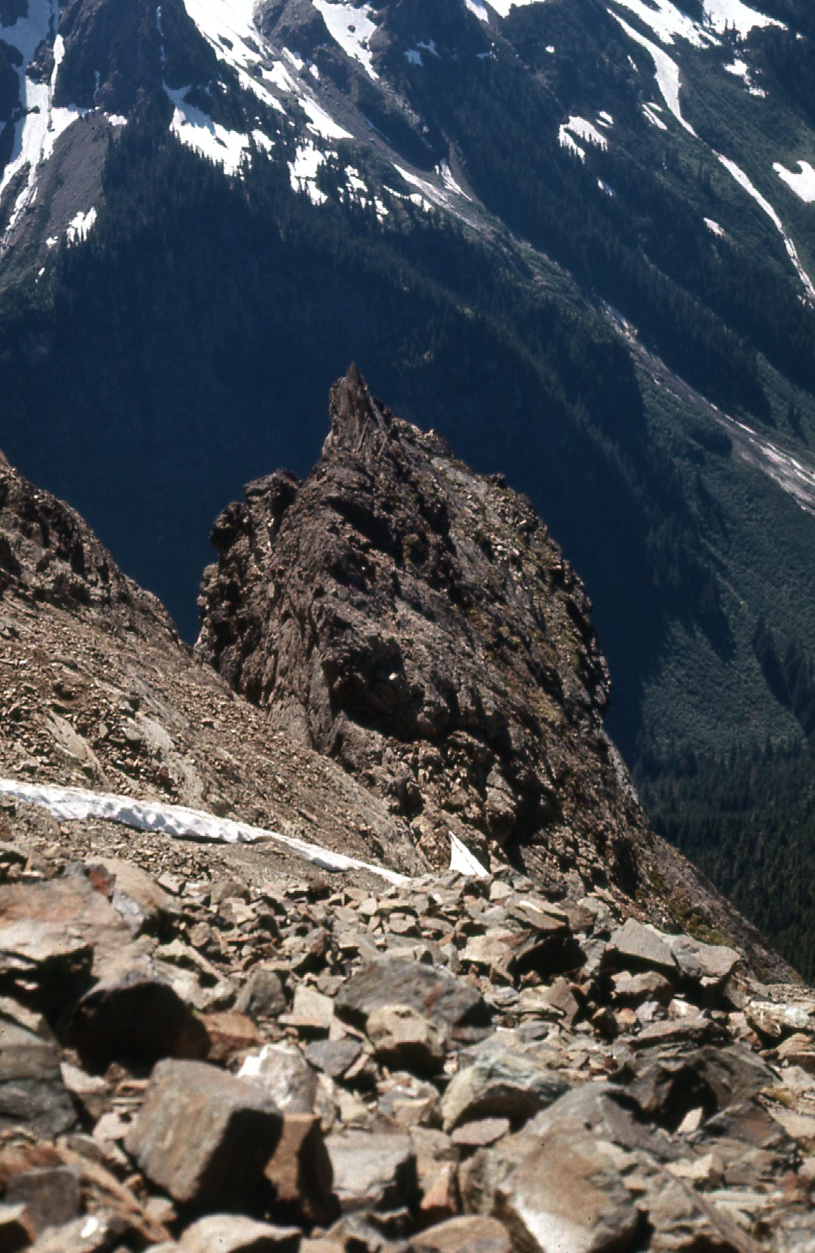
Steep!
Five miles away to the northeast, across the valley of Slesse Creek, sat the very daunting Slesse Mountain. This is a well-known technical climb, but history buffs also remember it for something else.
The west side of Slesse Mountain, elevation 7,969 feet.
On the east side of the mountain, the side you cannot see in my photo, an airplane crashed into the highest part of the peak. It was December 9, 1956 and a commercial passenger plane carrying 62 people flying at full speed hit only 80 feet below the summit. It was a Trans-Canada Air Lines flight, flying in a terrible storm, and everyone on board died instantly. It was the worst airline disaster in Canadian history up to that point. It had only been 20 years ago, that day that Mike and I were on Canadian Border Peak, that this terrible accident had occurred, a sobering thought indeed.
I made my way carefully back to where Mike was waiting for me, and we cautiously continued down. Here’s the last picture I took that day, a look down the steep ridge we had climbed.
Looking down the steep northwest ridge.
The climber’s guidebook says of our climb via the northwest ridge: A long day return from Slesse Creek; many parties prefer to camp higher.
We felt good about what we had accomplished – even though the climb took us 12 hours in total, we had climbed over 6,000 vertical feet and had done it safely in a single day. I think the climb was considered somewhat daunting, as none of my other climber friends of that era ever climbed it.