
For almost 6 years, I’ve hesitated to tell you the story you’re about to hear. It’s not that I didn’t want to, it’s that I was afraid of possible retribution from the authorities. But now I figure, what the hell, I’m getting too old to worry about that crap, so here goes nothing. It involves climbing, of course, but this one has an exciting start.
One January day, I drove a hundred miles from home to the entrance of a military bombing range. A climber friend had been climbing in the same area, and although he didn’t have any of the same objectives as I, we agreed to meet along the highway to say hello, as it had been quite some time since we’d seen each other. Where we met was on the shoulder of a state highway right in front of a locked gate that was one of the entry points into the bombing range. I need to tell you a few things about this area that was controlled by the US Air Force. You can get a permit to enter the range, and it’s free, but first you need to watch an informational video and sign your life away. In case you are injured or killed while on the range, the hold-harmless agreement says that you or your heirs cannot sue the military. Once you’ve done that, they give you a gate code good for a year. There are several entry points to the bombing range. There are also different areas within the range itself. One of them, you can enter at any time with your valid permit – I’ll call it Area 1. Another area allows limited access, mostly on weekends – let’s call it Area 2. The third area is off-limits at all times, period – permits aren’t valid there, ever, and no civilian is ever allowed to go there – call it Area 3.
My friend and I met on the shoulder of the highway, and both of us were 50 feet outside of the bombing range. After a while spent catching up, we parted company. I unlocked the gate and entered the range, locking the gate after myself, then drove away on the dirt road that headed in. My friend was there a while, organizing some stuff in his truck. While he was there, a pickup truck pulled up beside him. Two men got out and asked him for identification and started questioning him, much to his surprise.
The Air Force farms out the job of policing the bombing range to a private civilian contractor, a kind of rent-a-cop. That’s who pulled up beside him. He told them he had been climbing but was now heading home. He had not been, nor was he at that moment, on the bombing range. He did tell them that he had simply been meeting with a friend at that spot, but his friend (me, of course) had then entered the range to do some climbing. They radioed their headquarters to see if I had checked in, but I hadn’t. He didn’t tell them my name. If you plan to enter the range, you need to phone them ahead of time and tell them who you are, where you’re going to be, identify your vehicle, and of course what your permit number is. The reason I hadn’t called in was that I was planning to enter Area 3 and climb some peaks in the forbidden zone, and there was no point telling them that. I had a permit, of course, but it was null and void for where I was going.
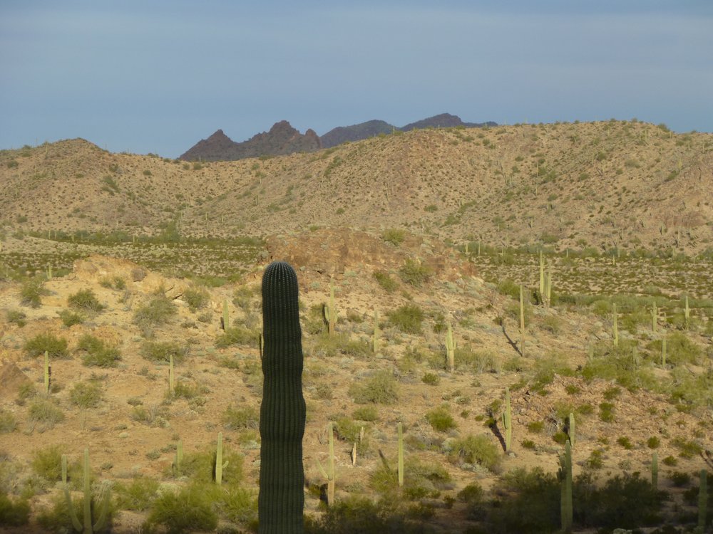
By the time they finished grilling my friend, I was long gone – I probably had the better part of an hour’s head start on them. Because I hadn’t called in to HQ, they were pissed off and were determined to apprehend me. I didn’t know they were pursuing me, but I drove fairly quickly into the range – if I’d known they were after me, I would have driven even faster. Many miles later, I parked beside the remote dirt road and set out to climb a nearby mountain. It only took me 20 minutes to reach the top of Peak 2201. With no sign of a previous visit, I prepared a register.
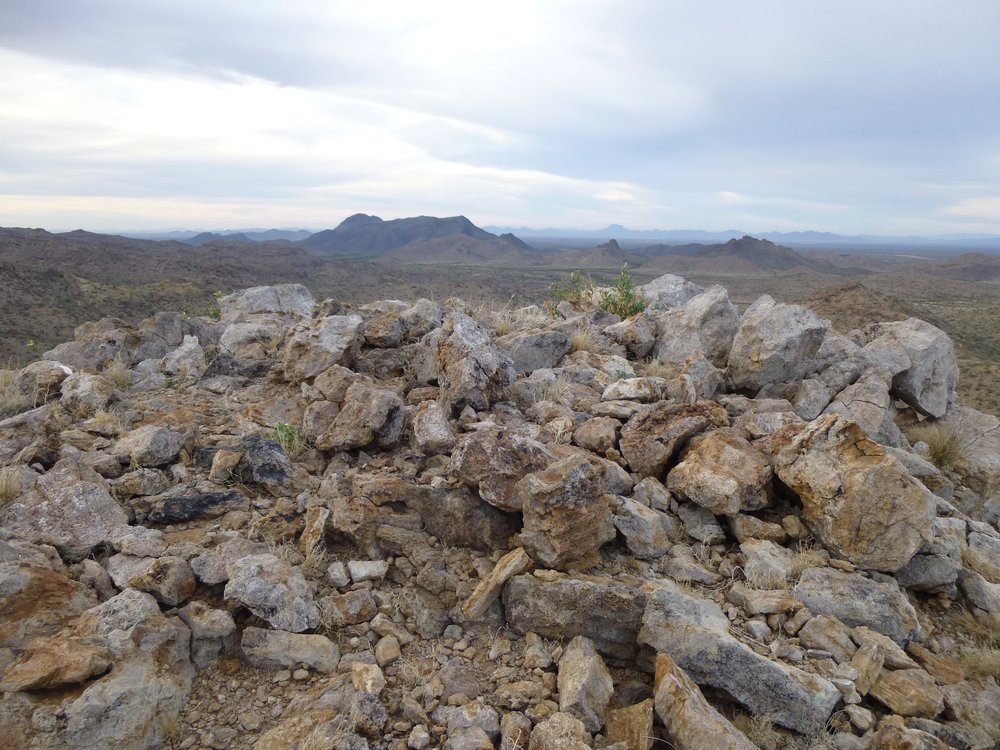
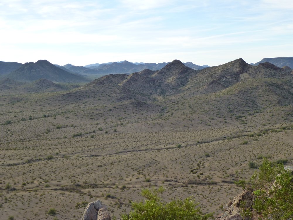
The summit
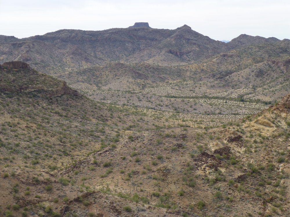
Enjoying the view, I took a few more pictures. Here’s one of nearby Hat Mountain.
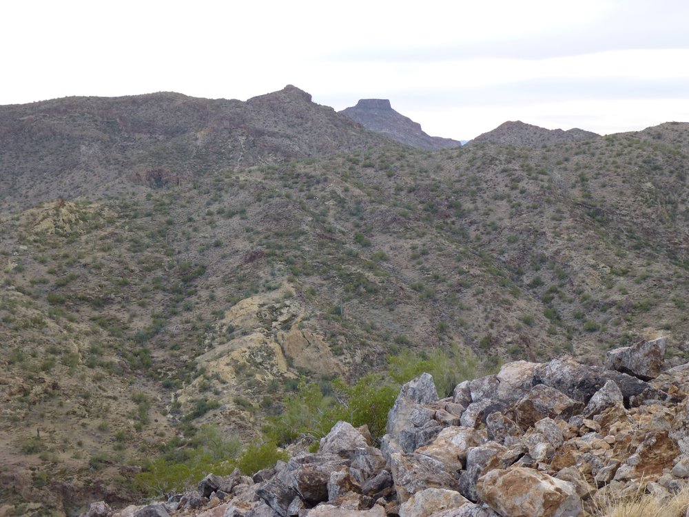
Hat Mountain to the southwest, the flat one, not quite 3 miles away.
As I was standing on the summit, something caught my eye back the way I’d driven in. It was a white pickup. I knew immediately that it had to be the range police, they’d be the only others who’d be this far out, and they drive white pickups. This is a long telephoto taken from the mountaintop. If you look really hard, you can see 2 black figures to the left of the truck. They were walking the road and looking in the nearby trees. Duh, why would I be there? I watched them for a bit and saw them finally turn around and head back out, away from me.
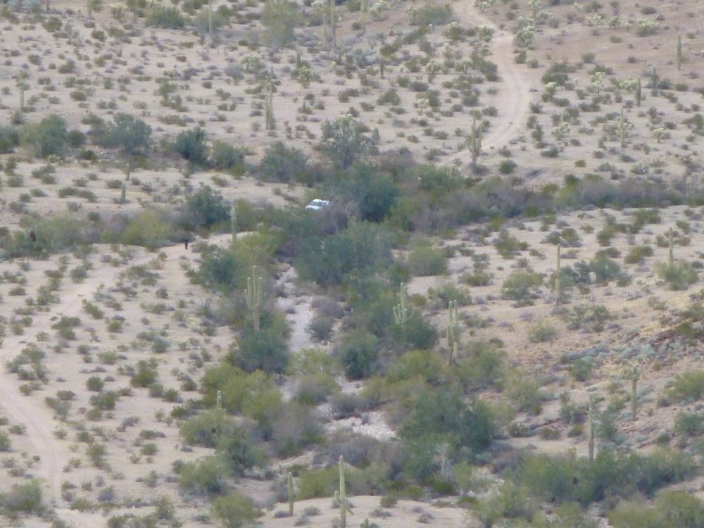
Rent-a-cops.
I didn’t think they’d be back, so when I got back down to my truck I just camped for the night beside the road and enjoyed this desert sunset.
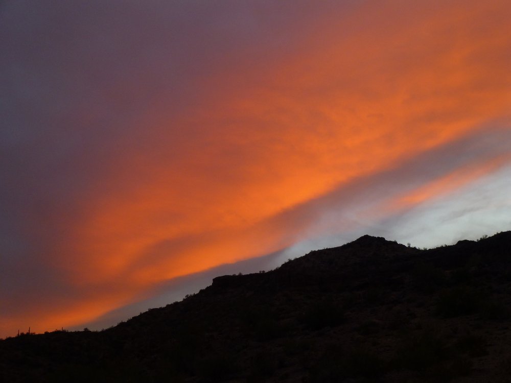
Desert splendor.
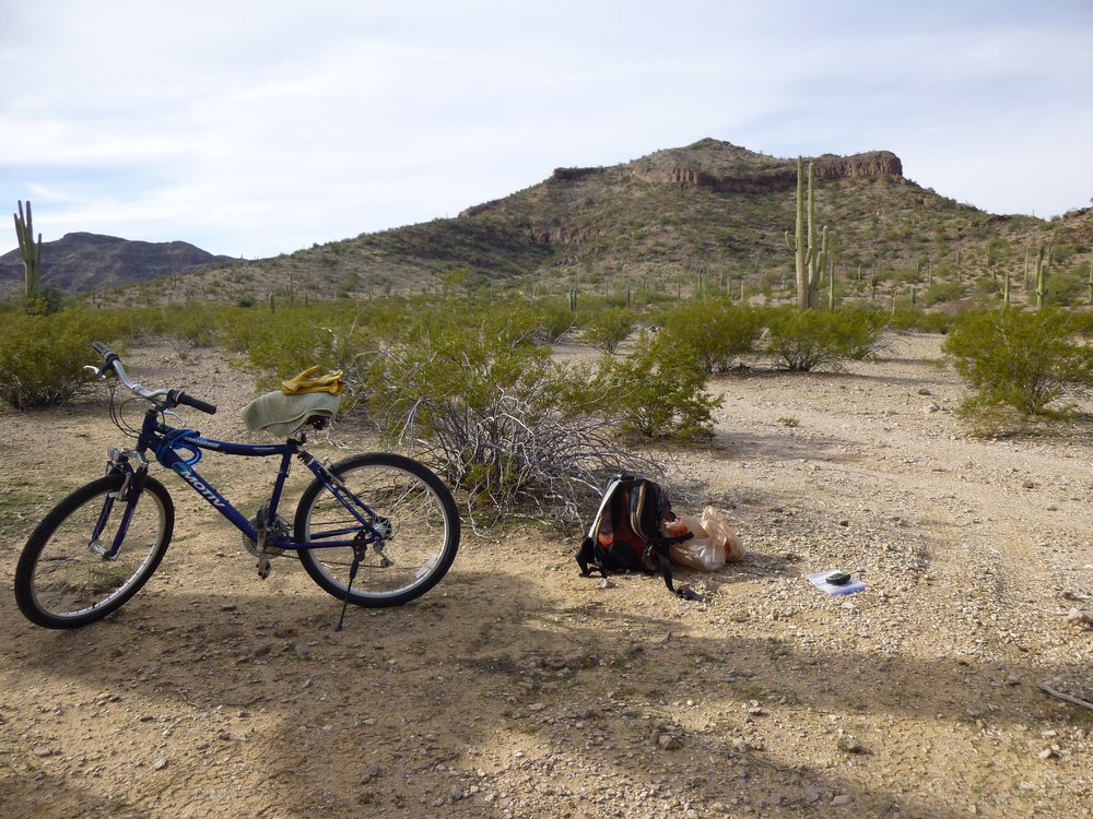
After a good night’s sleep, I got ready to head out the next morning. I was excited – I always am when I’m about to trespass deeply into any part of Area 3 on the bombing range. Such travel requires you to be extra-careful, to not touch any ordnance you might see lying on the ground. Because Area 3 is where the Air Force drops bombs, uses laser weapons and shoots at things, you need to be careful exactly where you go. Most importantly, you need to be extremely careful to not be seen or caught. I rarely drive my truck into Area 3 – usually only when I can get to and climb something quickly and get back out again quickly. I have at times even parked overnight in Area 3 but only if I can hide my truck deeply in a wash, for example, where there is a good canopy of trees over me. On foot, you’re not likely to be seen or caught. If you need to penetrate deeply into Area 3, using a mountain bike can work well – you just need to be really sharp, keeping your eyes and ears open for any approaching vehicles or aircraft. Today I would use my bike.
An old military road would take me miles in and get me quite close to my first peak of the day. Examining various satellite images told me that the road appeared to be no longer used. When I started out on the bike at first light, my theory was proven correct. There were no tire tracks or any other sign of use – I’d say the road had lain dormant for years. Here’s a picture I took of it later in broad daylight. See what I mean?
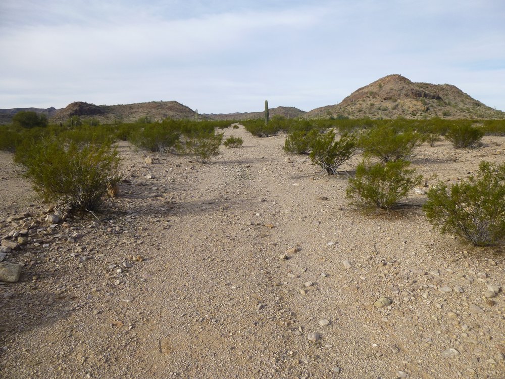
Not used.
The road served me well, and I used it for a few miles. It followed a wash and was flanked by low hills on both sides, affording me good cover. When I reached the spot nearest to my peak, I carried the bike off the road to a place where I could lock it up and hide it in some brush. Nobody would find it in a million years. Now I could continue on foot, free from any worry of being spotted and free to enjoy the climb fully. Soon after starting to walk, I found this guy.
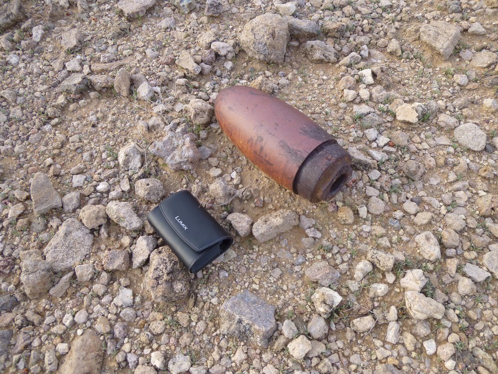
That’s my 4-inch camera case beside it.
It was easy country like this for a mile or so.
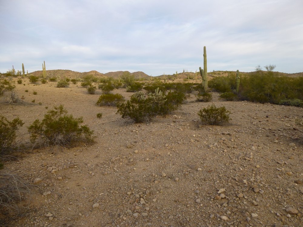
Easy going.
Before long, I came to the shoulder of my peak and started up. While on that slope, I saw this to the south, a striking, un-named feature. The map shows it as Point 2334, but that is incorrect – it should be Point 2134 instead.
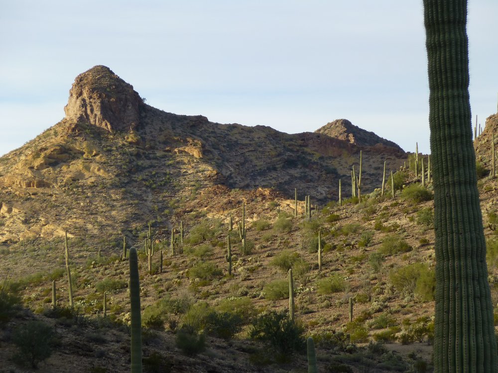
Point 2134. Lovely, unclimbed.
From the same spot as I took the above photo, this was the view as I looked back over my shoulder. This is a telephoto, so things are a bit farther away than they look. That long sunny ridge that spans the entire photo is 2 miles away. See the dark saguaro cactus right in front of me? Look straight above it – beyond the sunny ridge we can see a sharp peak – that is Peak 2059, about 4 miles away. It’s a nice, short Class 5 climb with which I’d soon become acquainted.
Peak 2059 peeking up over the nearby ridge.
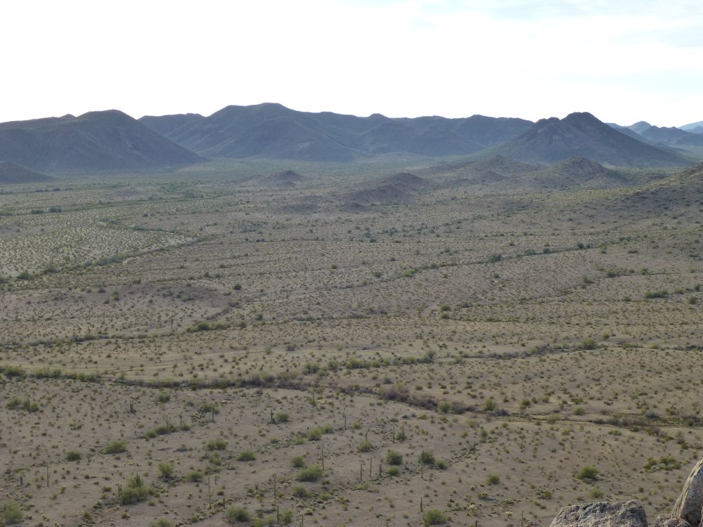
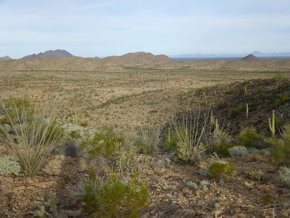
It was 8:40 AM when I reached the summit of Peak 1887. A quick, easy climb, it looked untouched. The place was amazing, the silence was profound. Perched on the edge of it, I took in the whole panorama of views – I’d like to share them with you here. This will be a series of shots, each one of which will move us a bit farther to the left (you’ll see the slight overlap between them). This one starts us off with a look to the southwest. There’s something very important I need you to know, and in fact it’s the most important thing about this story. In these next 5 photos, there is no road, no path, no trail – in fact, no trace whatsoever of humanity – just raw, unspoiled desert, as natural as God made it.
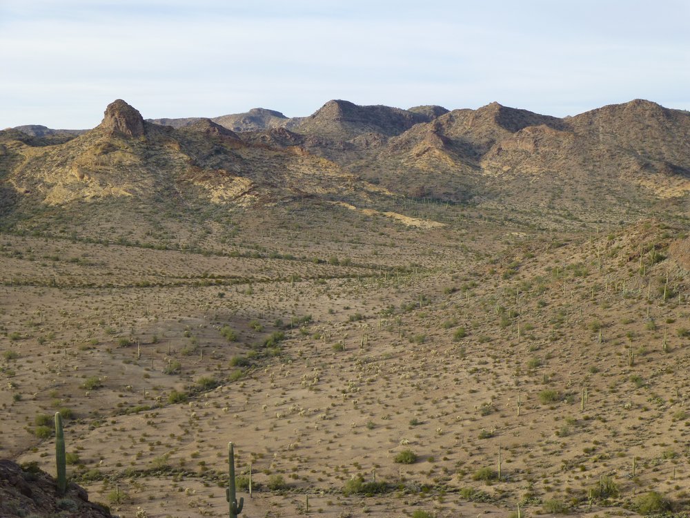
Looking southwest.
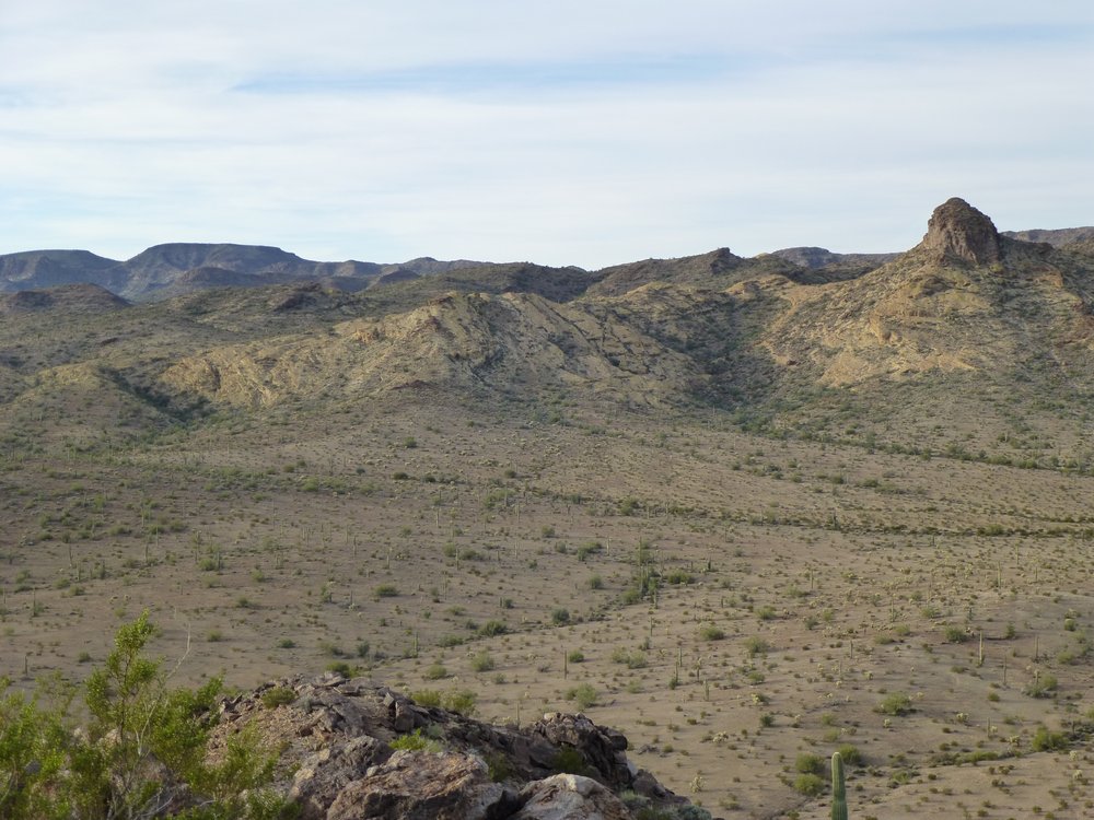
More desert.
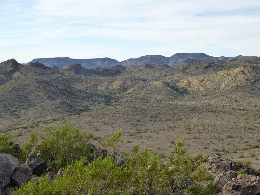
More desert.
More desert.
More desert.
I sat there and soaked in the view. There was no sound to be heard, nothing to disrupt my reverie. It felt like “the middle of nowhere”, and yet it was definitely somewhere very special. Even though the photos show no signs of human activity, all of what you see in the previous photos is part of a military range – I was just glad they hadn’t messed it up. If I walked over to the eastern bump of Peak 1887, there were some things I could recognize. Way out across the desert was an area the military did use, and I’ll show you how active they were over there. This next photo shows some interesting features. The swaybacked peak on the left is called Jack in the Pulpit. The big peak over on the right is called Slag. Just below Slag and a bit to the left on the flat desert floor is a little grey thing. It’s a small hill.
Far peaks.
Now I want you to do something for me, and this’ll be fun. Here is a link.
https://listsofjohn.com/qmap?lat=32.7215&lon=-112.5725&z=12&t=c&P=300&M=Desert+Mountaineer
If you click on it, it will open up a map. Being careful not to move the cursor in the middle of the map, go to the upper left corner where you see the + and – signs. Click on the plus sign a few times to zoom in on the map. Then go to the upper right corner to where you see the words “Choose map type”, and click on them. You will get a drop-down menu. There, choose ESRI Satellite. That will change the view from a map to a satellite image. Zoom in more if you need to. You should now be looking at a round thing that looks different than the brown desert around it. That is a little hill that the Air Force uses as a target, and they drop bombs on it. Out a ways on 3 sides of the hill, you can plainly see white arrows. These are on the ground and are meant to guide pilots to the exact spot to drop their bombs, and that would be the little grey hill. And that is the very hill that you can see in my photo above. It looks grey because of countless very large bombs that planes have dropped on it, exposing the bedrock. They have bombed that poor hill back to the Stone Age. If you look carefully, especially on the lower right side of the grey hill, you can see lots of small, round bomb craters – except that they’re not so small. Something else I could see, many miles away, was another big peak. Here it is, in the middle of the next photo. It’s called Dragon’s Tooth, a fearsome technical peak that has never been climbed. This photo, and the previous one, are long telephoto shots.
Dragon’s Tooth, the double-headed monster in the middle of the skyline.
As much as I wanted to stick around and enjoy the solitude, I really did need to leave, as I had two bigger peaks I had to climb this same day. Here’s a look out over the piece of desert I’d travel to get back to my bike.
Every mile a pleasure.
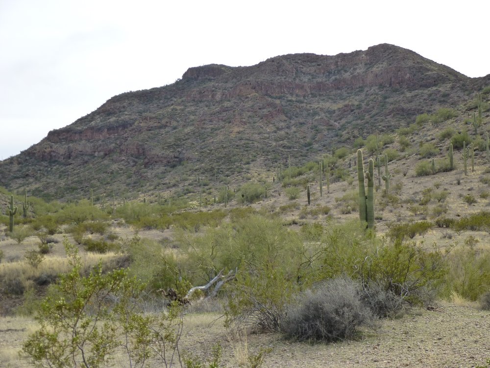
I made it back to my bike by 9:40 and had ridden all the way back to my truck before 10:30 AM. There were 2 peaks near my truck – they too were in Area 3, but I knew they wouldn’t have quite the same feel of remoteness of the first one. As I was getting ready to head out, I had this good view of yesterday’s peak, the one from which I espied the rent-a-cops who were looking for me.
Peak 2201
I headed straight over to nearby Peak 2336 and up its northwest ridge. The summit ridge consisted of 3 distinct areas, 3 summits if you will. The map showed the westernmost as being the highest, and after visiting all 3, I agreed. I left my register on that one, at 11:38 AM, but continued on to the middle and eastern bumps to make sure. Here’s the view of the peak from where I started back at the road.
Looking southeast to Peak 2336.
I also left a cairn on the east bump to mark my passing – it was noon when I was there. Next, I dropped down to a saddle, then north up a ridge to take me to the top of my last one of the day, Peak 2260. It was just after one o’clock. Here was how the summit appeared, untouched like the others.
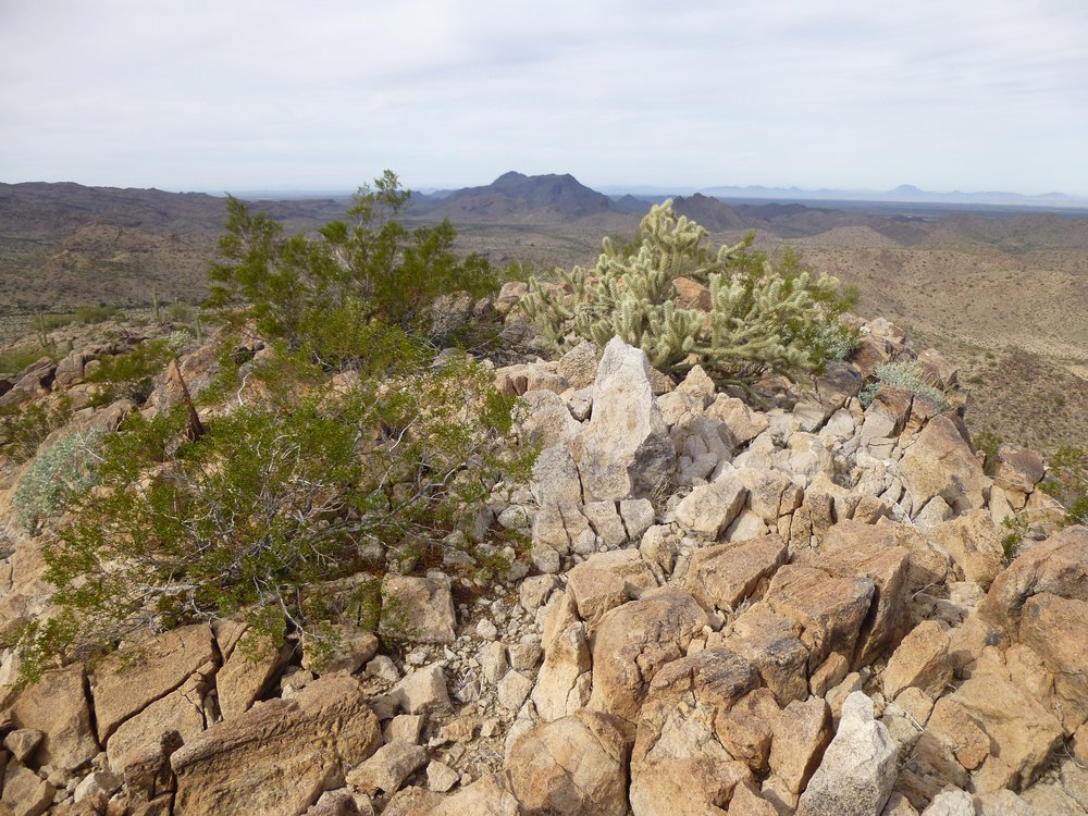
The top of Peak 2260.
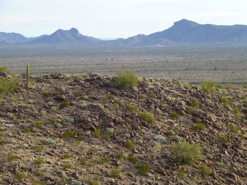
There were some important things (to me, at least) that I could see from the summit. Four miles away, at a bearing of 237 degrees, sat Hat Mountain, a slightly technical climb.
The one with the flat top.
Away to the south was Coffeepot Mountain. It’s the one in the middle on the skyline. It’s 13 miles distant, at a bearing of 163 degrees.
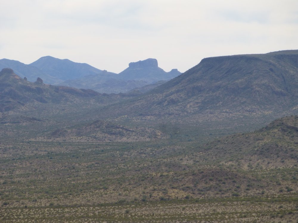
Coffeepot Mountain
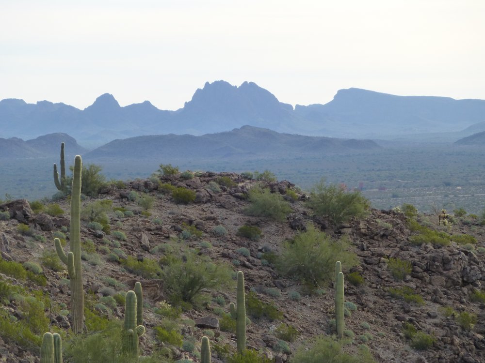
One more – here is Tom Thumb, a highly technical climb which has seen 2 ascents. It is 11 miles distant, at 147 degrees true. It is the sheer-sided one just to the left of center.
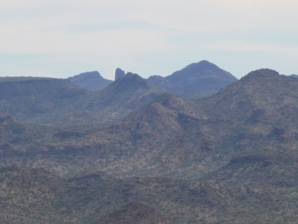
Tom Thumb
After leaving this final peak, I took this look back to its southwest side.
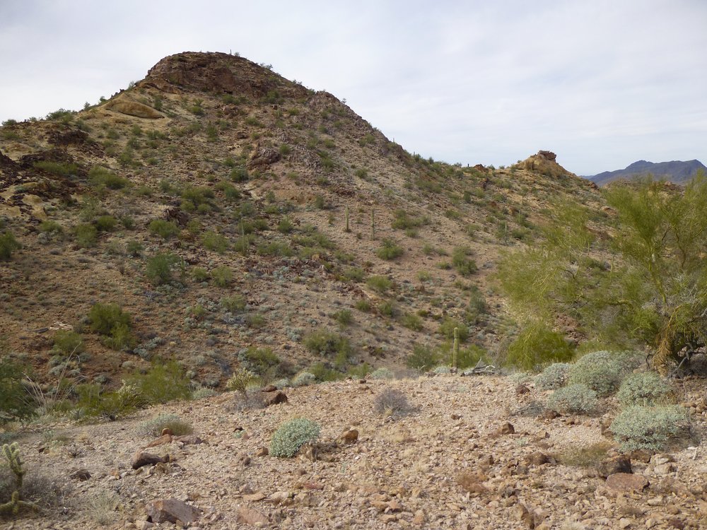
Peak 2260
A leisurely walk had me back at my truck just before two thirty. Because these two peaks were so close to the road, it only took three and a half hours to do them both as a loop. The first peak of the day, the one where I used my bike, was just over 8 miles and a mere 765 vertical feet of climbing. The last 2 required just under 4 miles, but a more demanding 1,875 vertical feet. It felt good to be done, but it was high time to get moving and into a less-risky area. I loaded everything, including the bike, into the truck and started driving. This next photo shows you how all the dirt had eroded off the road, down to bare rock. Many years of no maintenance and nobody driving on it.
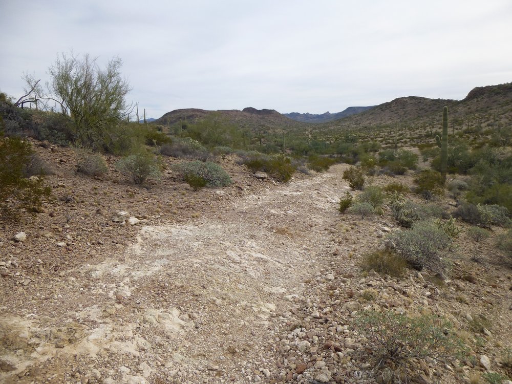
One tired old road.
Before nightfall, I had driven enough miles to leave Area 3 and I could rest easily. At camp that night, I looked back on my day and was very satisfied with what I’d done. Nobody was the worse off for my passing through. Now I could prepare for my next incursion into Area 3, which would be even bolder and with bigger rewards. Thanks for keeping me company.