
I knew I’d have to do it sooner or later, but doing it by yourself isn’t as enjoyable as doing it with someone else. So, when Andy said he’d do it with me, I was excited. And when he said he’d found a woman to do it with us, as a threesome, well that was even better. I am, of course, talking about a climb of Rattlesnake Peak.
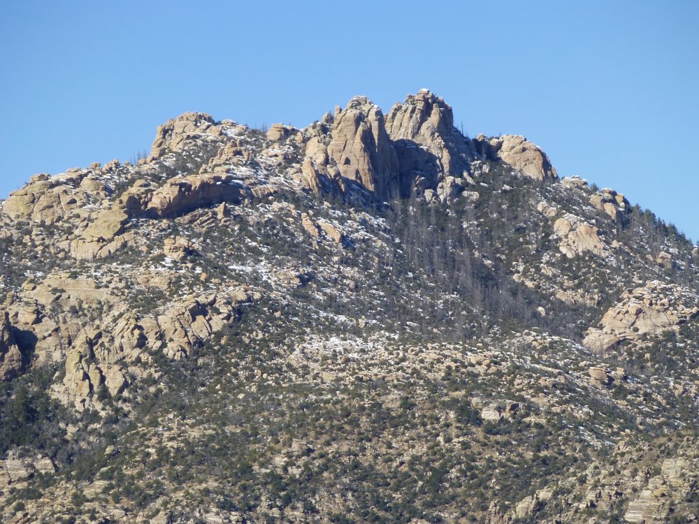
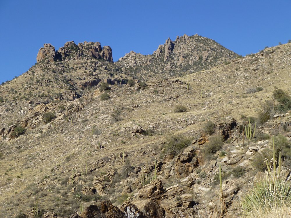
This mountain rears up for thousands of feet above Tucson and is quite visible to most city dwellers, but few would know its name if they were looking at it. It is surrounded by higher peaks and is quite nondescript, as seen in this photo. It’s the third one in from the left.
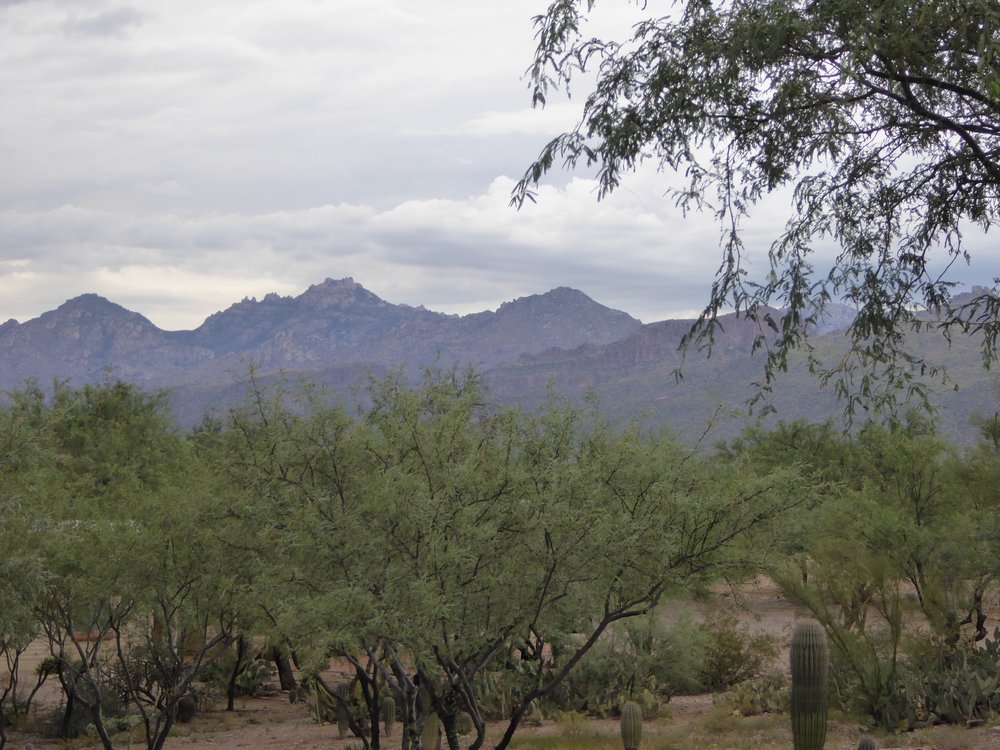
Rattlesnake on the right.
I think it was Andy who actually suggested the climb, and when he learned that Teresa was in town and could join us, then things moved quickly. Two days before Christmas, Andy and I met at the Sabino Canyon parking lot. We unloaded our mountain bikes, got our day packs ready, then headed out. It was still dark at 6:20 AM, so we used our headlamps as we rode into a residential neighborhood. We bypassed a gate, then continued up steep paved roads. Andy had the route figured out, so I just followed him. We bypassed a second gate which led up a private drive, and by the time we stopped we had pedaled about 2 miles. It wasn’t the miles that got to me, but rather the 400 vertical feet we gained. My God, I was gasping for breath – talk about being out of shape for cycling! I had to walk the bike at times, as it was too steep for me to pedal even in my lowest gear. Can you picture it?
We stopped along the road, then ditched the bikes off to the side in the brush and locked them up. It was broad daylight by now. The idea was that we’d head overland to meet Teresa at a pre-ordained spot. Dropping down into a shallow wash, we then climbed uphill, hoping to find her by a closed contour at 3,280 feet. And bingo, there she was! She had never met either of us before today, so after introductions we set out together. It was a brisk 33 degrees, but bright and sunny.
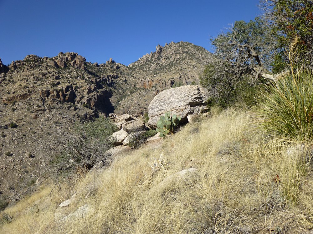
Considering where we’d all started earlier, this climb would be about 4,000 vertical feet. It would be very straightforward, actually. Where we met Teresa was at the lower end of a ridge that sat between Bird Canyon and Rattlesnake Canyon – all we had to do was stay on that ridge and keep heading north. Okay, I might be over-simplifying it a bit. This picture shows the typical stuff along our path, a lot of tall grasses, but there was brush too. That’s Teresa in the blue, and our summit is directly above her, way in the back and on the horizon.
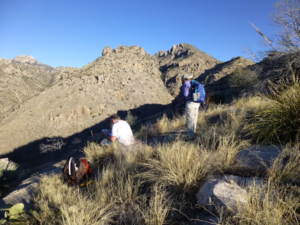
Checking our notes.
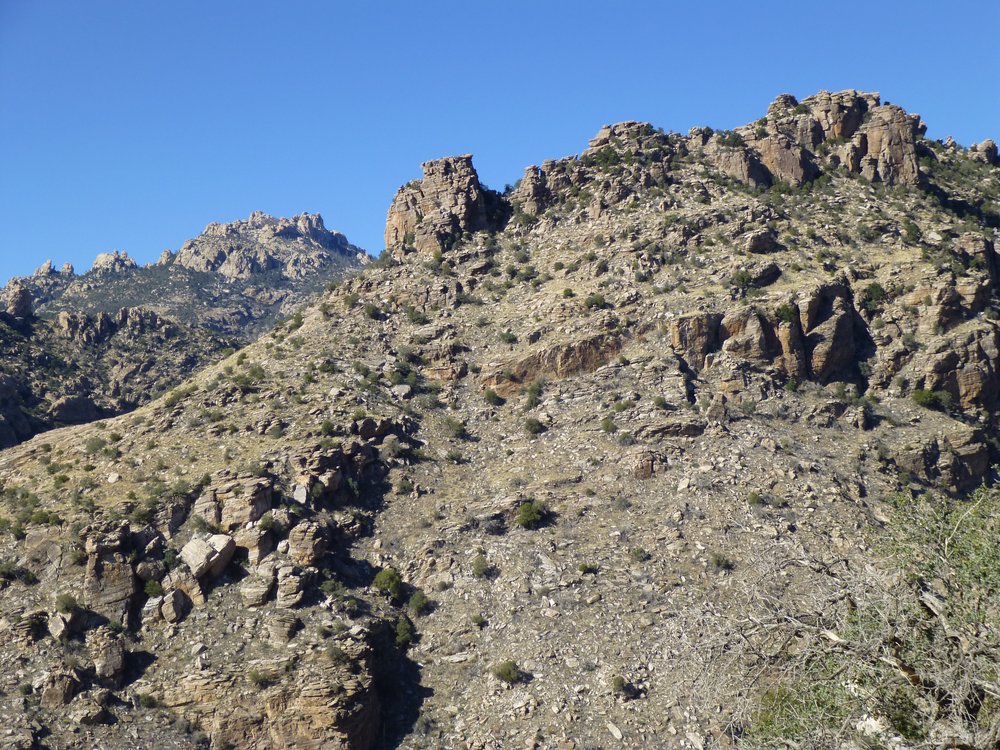
By the time I took this photo, looking southwest, we had been on the move for over an hour and were getting higher above the city.
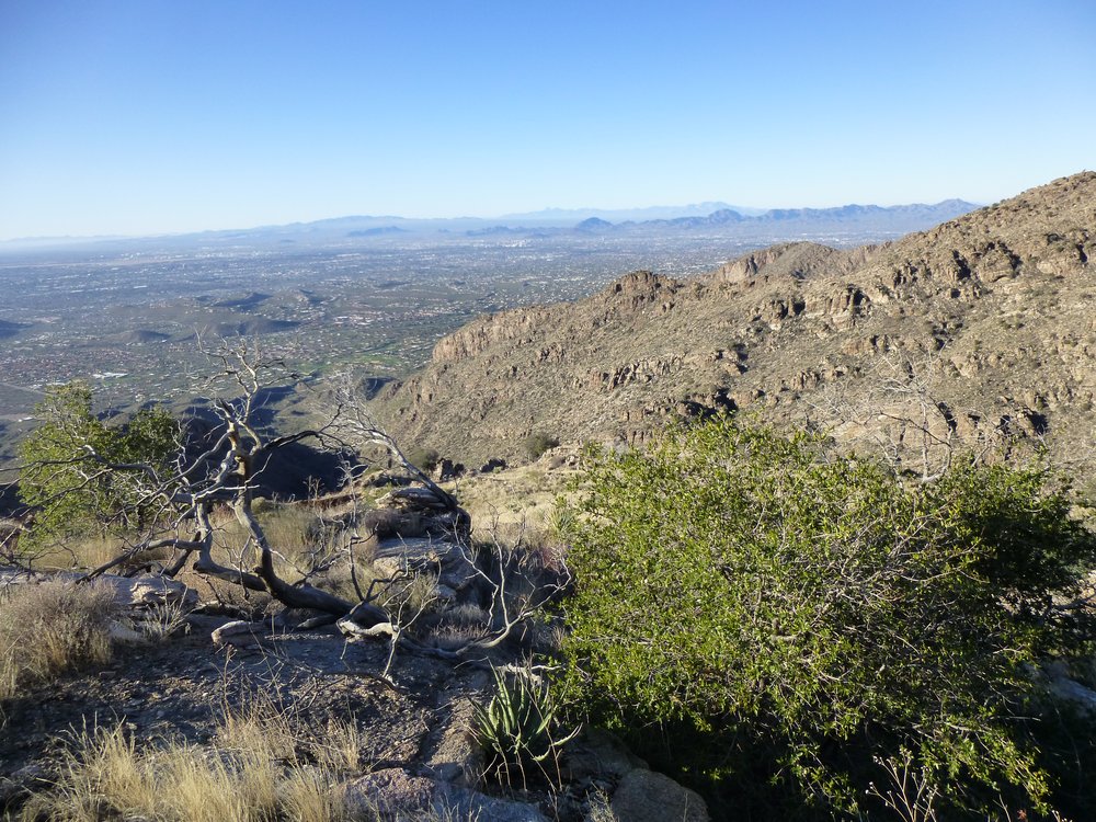
Getting higher.
Here, we see the peak, but it’s still a long way off, a bit to the right of center. It was a little after 9 o’clock.
That’s it, up there.
Some nice rock along our path, with the moon as a bonus.
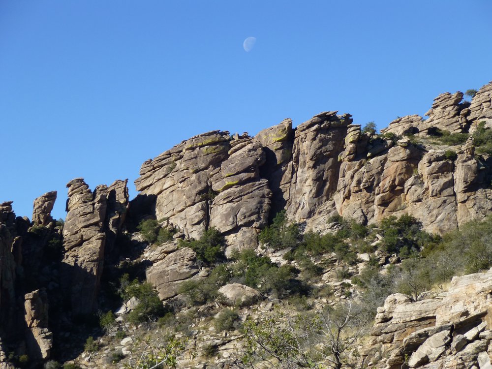
Nice!
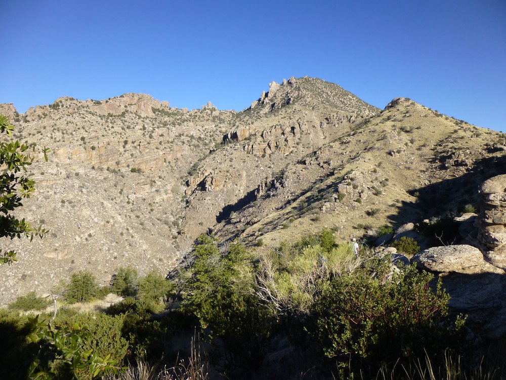
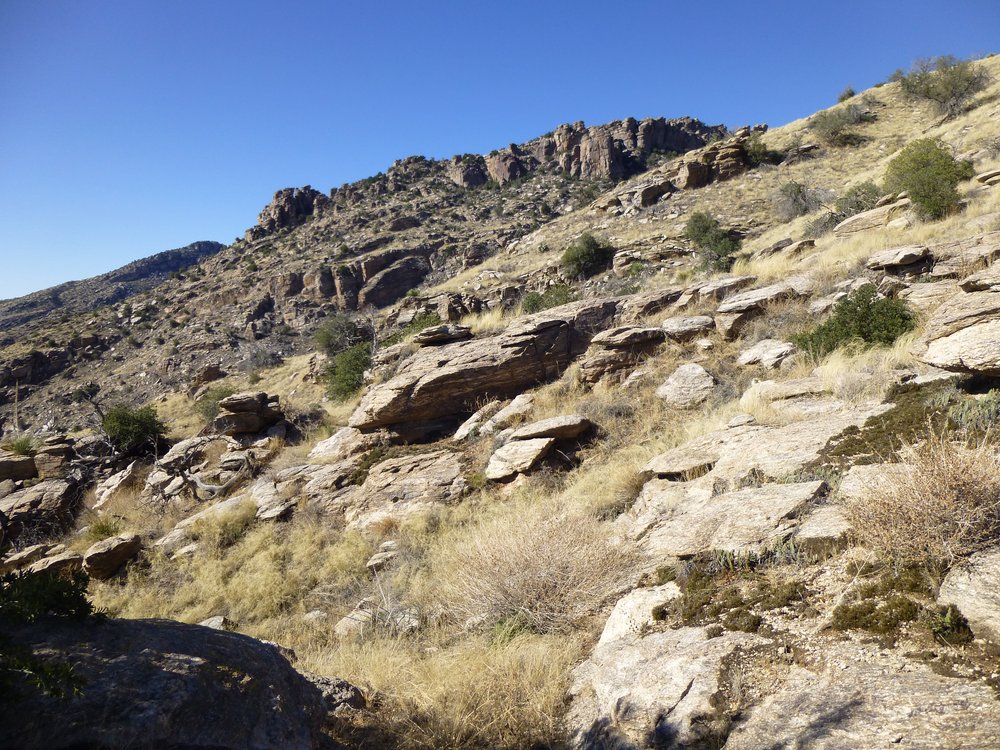
A little after ten o’clock, we had this view up, but the top isn’t quite visible.
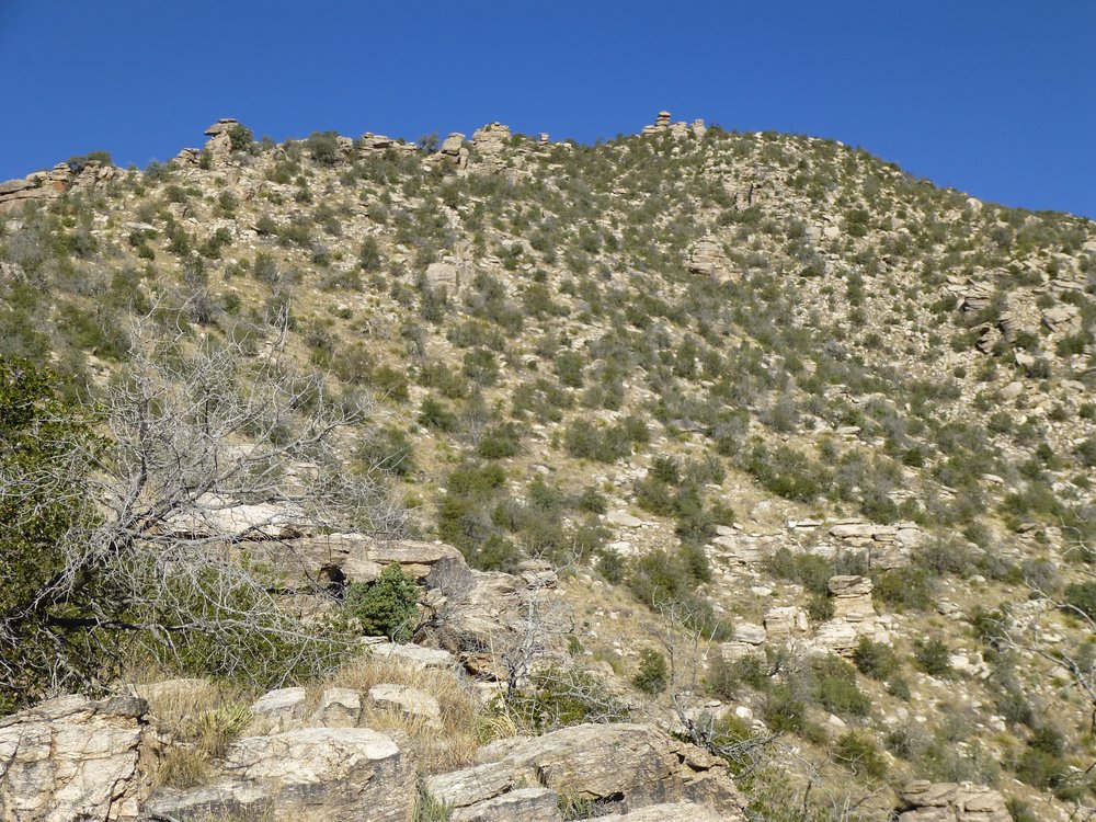
Not quite visible.
As we approached the summit, there was still snow lingering in shady spots.
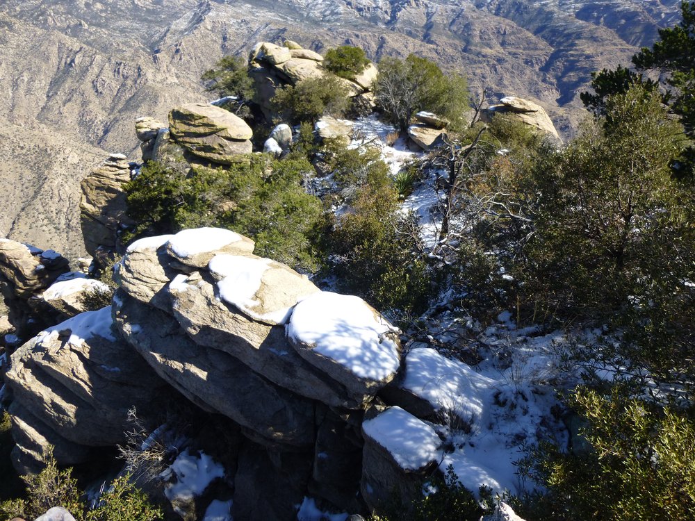
A bit of snow.
Here’s a better view, with the city way down below.
Snow in the nooks and crannies.
It was noon when Teresa stood on the summit.
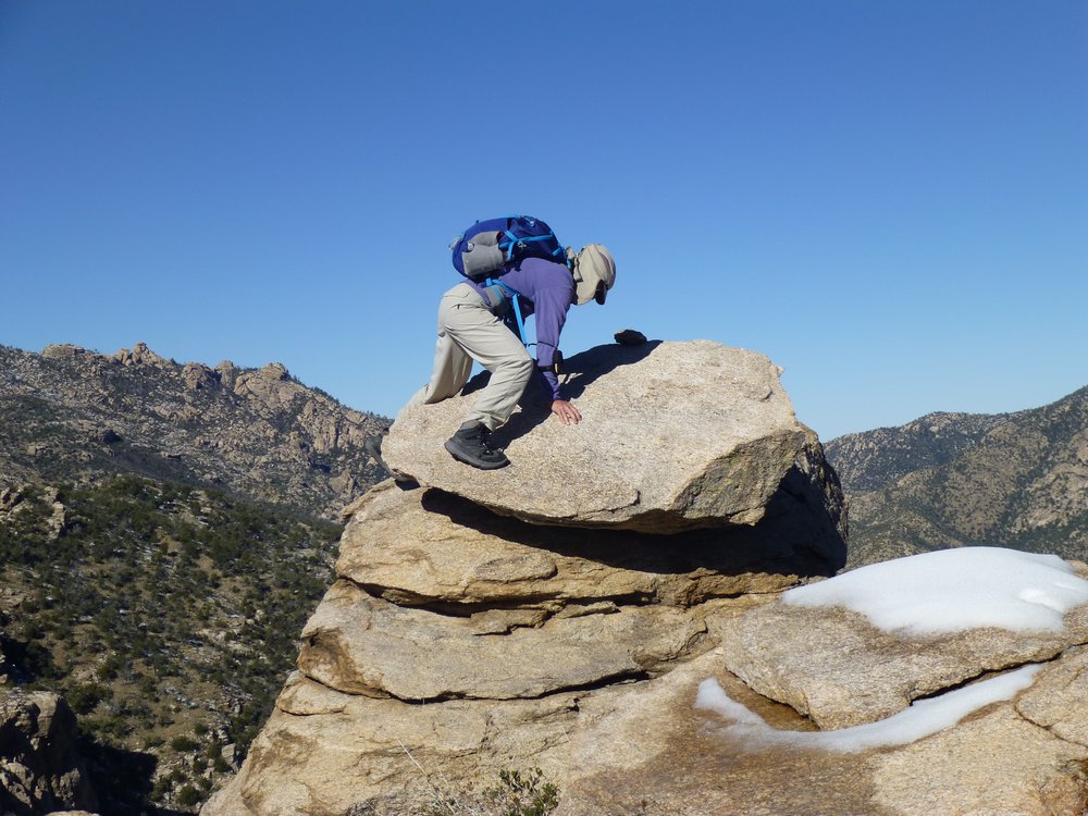
On the summit.
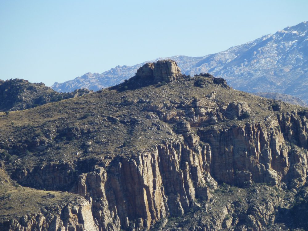
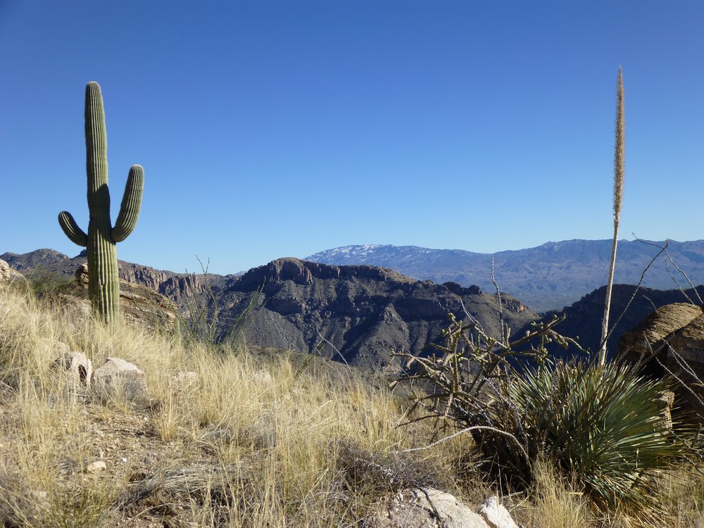
We relaxed, had some lunch, and admired the views. One I especially like is this, a look at the east side of Cathedral Rock. From where we sat, it was 2.4 miles away at a bearing of 308 degrees.
Cathedral Rock, elevation 7,957 feet.
Here’s a telephoto shot, showing more detail. The highest point is just right of center, the bit with the snow on top. This one can be a bit tricky, and some have been turned back. The crux is the gritty slab with a lot of exposure right at the top. It is rated Class 4, and I remember being quite gripped by it when I went in to do it years ago. Those are tall ponderosa pines you can see, sadly burnt up by a fire.
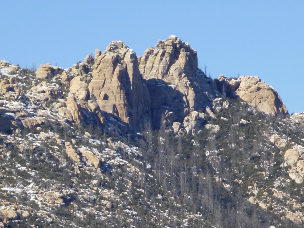
A closer view.
A hazy look to the southeast showed two big peaks on the horizon in the Rincon Mountains. On the left is Mica Mountain, 19 miles away, and on the right is Rincon Peak, 24 miles distant.
The Rincons.
As we lazed about on the summit of Rattlesnake Peak, elevation 6,653 feet, Andy was explaining something to Teresa.
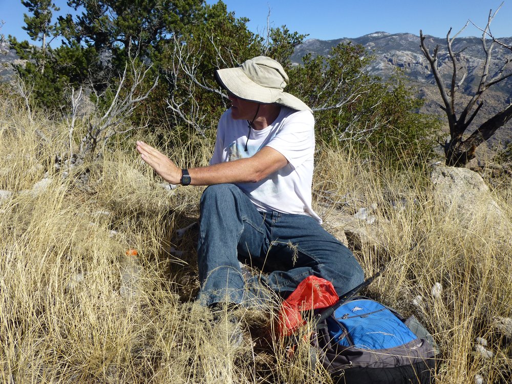
Andy making a point.
Wisely, she was taking it with a grain of salt.
Listening politely.
We didn’t stick around very long, because when I took this picture it wasn’t even half past twelve.
Starting down.
There was some weaving our way in and out of brush, but all in all it wasn’t too bad.
A bit of brush
This shows one of the bumps along our path that we’d pass by.
A bump along the way.
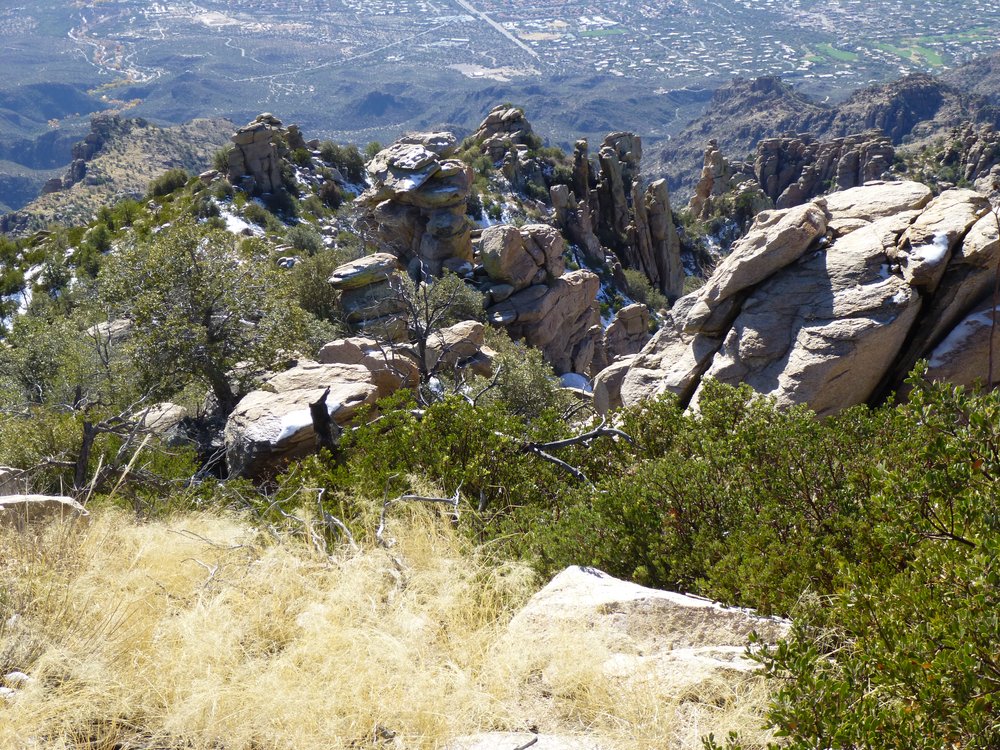
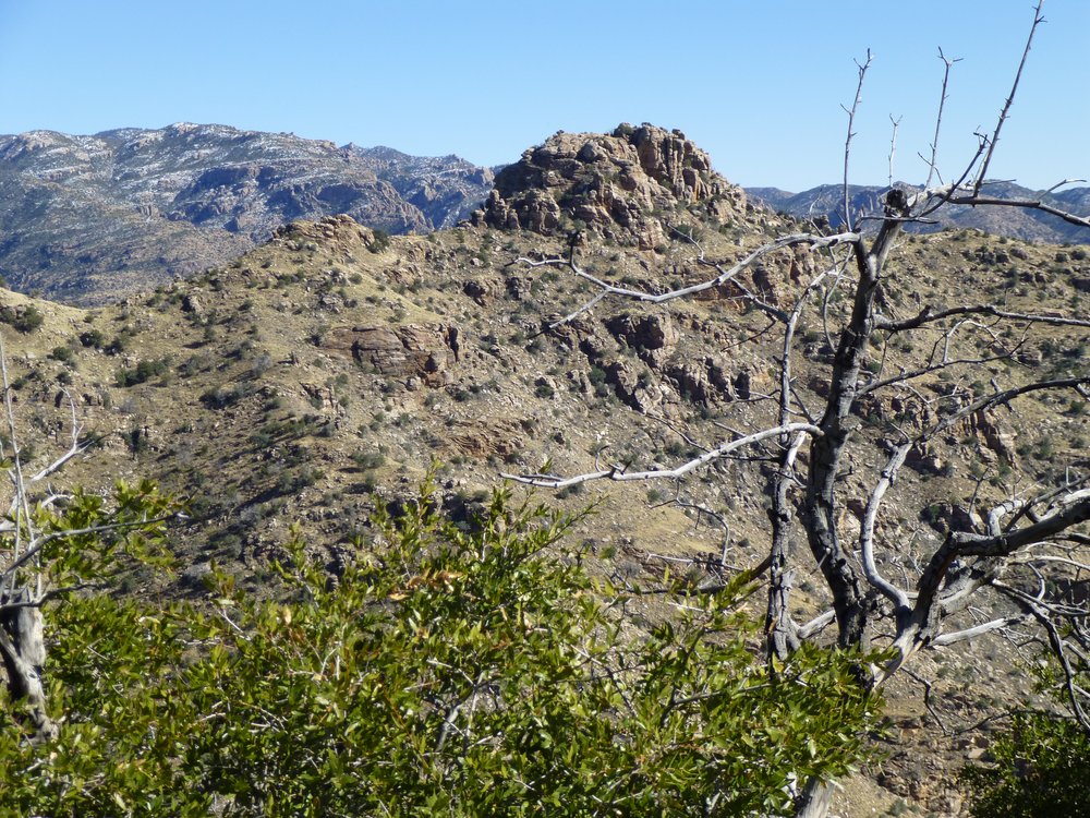
Here’s a look back over some of the ground we’d covered.
A look back
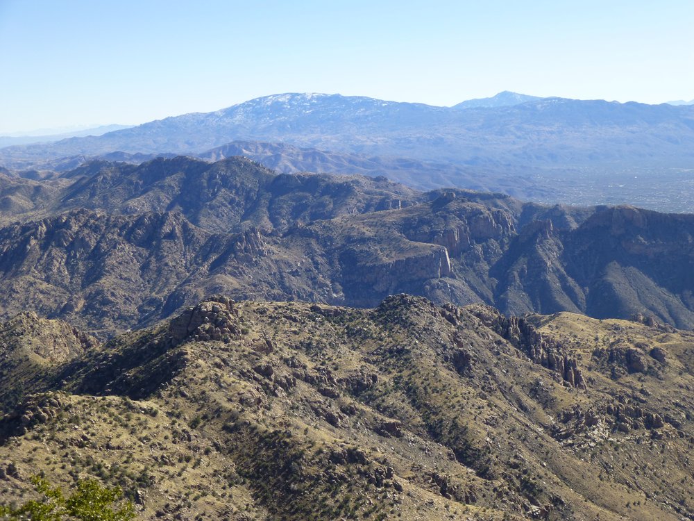
Looking southeast, we could see over an intervening ridge or two.
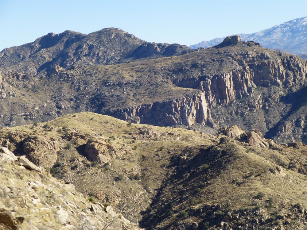
What’s out there?
Here’s a close-up of a detail in the above photo.
It’s Thimble Peak!
That bump along the ridge is Thimble Peak. It’s a bit tricky – I went back there twice with Jake and only barely got it on the second try. It’s rated Class 5.1, so not too difficult, but awkward and exposed. Miles beyond it, we see the long north slope of Mica Mountain.
Here’s a look back up – the top of Rattlesnake is over on the right, next to the tree.
It’s the one on the right.
This next one, taken from the same spot, shows Cathedral Rock once again. This time, it’s over to the left, on the distant skyline, almost 3,000 feet higher than where I’m standing.
Cathedral Rock on the left, way in the back on the skyline.
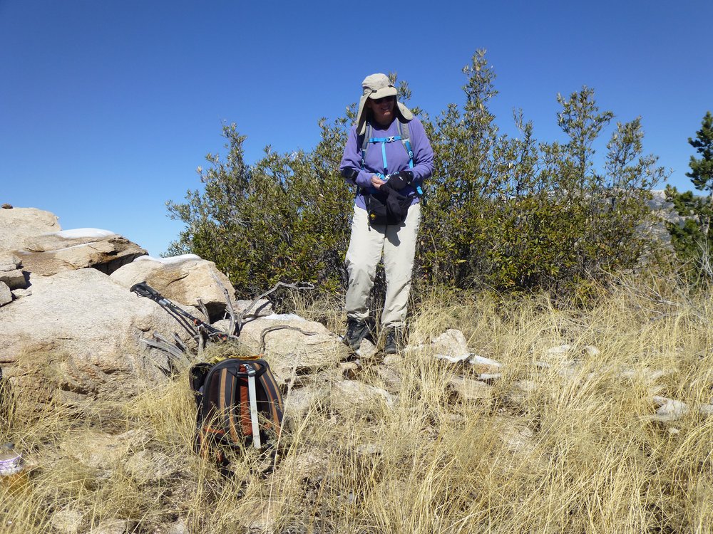
By the time two o’clock had arrived, we were all the way back down to a spot elevation shown on the map as 5085 (that’s its height). Andy and Teresa were both keen on climbing it, but I opted out, choosing instead to be the official photographer. They managed to get to the top of the north outcrop, which was Class 3, but couldn’t quite manage the highest part, only 2 feet higher. A good effort, though.
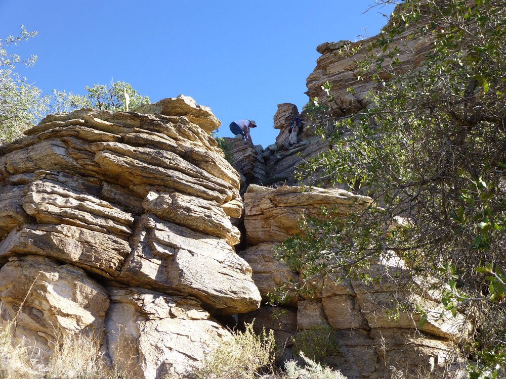
Andy and Teresa trying Point 5085
Together again, we started down. When we were still about 2,000 vertical feet above the city, I took one more photo looking east. See the distant peak with snow on it, on the center horizon? That is once again Mica Mountain, the high point of the Rincon Mountains (elevation 8,664 feet). The dark mountain below it and much nearer is Peak 5001, in the Santa Catalina Mountains the same as we were. Thimble Peak is hidden behind the saguaro cactus.
Looking east.
It must have been all of three o’clock by the time we arrived back at the spot where we’d met that morning. A bit before we got there, I took this one last look up.
A final look back.
At around 3,200 feet, we parted company. Teresa headed back down to where she had parked, while Andy and I went the other direction to retrieve our bikes hidden in the brush down below. Once there, we unlocked them and coasted all the way back down the 400 vertical feet we had so painstakingly pedaled up in the pre-dawn darkness. The round-trip time for our climb had been 10 hours.
The day had been a great success. A nice climb on a perfect Arizona day, with great companions and no mishaps. I would be remiss, however, if I didn’t add one final note to this story. Teresa had informed us, before we even met her, that she had had a terrible accident while climbing 3 years earlier. She was lucky it hadn’t cost her her life. After a lengthy and painful recovery, she had returned to climbing. At the time we met her, she had been climbing up a storm, knocking off several of our toughest local peaks. Even so, she apologized profusely in advance for what she thought might be her poor climbing performance while we climbed Rattlesnake together. Well, Folks, I can assure you she had nothing to apologize for, nothing at all. Andy and I found that it was all we could do to keep up with her during the entire day – she made us look like a couple of amateurs. We did this climb back in 2013, and in the intervening years, Teresa has gone on to climb a truly amazing number of peaks, becoming one of the foremost peakbaggers in the country. Keep it up, Teresa!