
It was early December of 1989, and I was working extra-hard to finish climbing all of the peaks on the list of the high points of Arizona’s mountain ranges. I was devoting more and more time to the project, and it became quite the obsession to finish before the end of the year and the decade. The end was in sight, though, because on December 2nd when I headed out on this trip, there remained only 13 peaks left to climb. I had stayed out for as long as 10 days at a stretch on some of those trips, cramming as much peak-bagging as possible into intense bursts of activity. This one would last a week and hopefully net me 10 or so peaks.
Leaving home in Tucson, I got on the freeway and, 3 easy hours later, pulled into Dateland, out west on Interstate 8. My first objective was a pretty range to the north, the Palomas Mountains. Knowing nothing about them, I had contacted my friend Barbara Lilley in California. Her knowledge of many of Arizona’s mountain ranges was nothing short of encyclopedic, and she gave me useful tips on how to tackle this one.
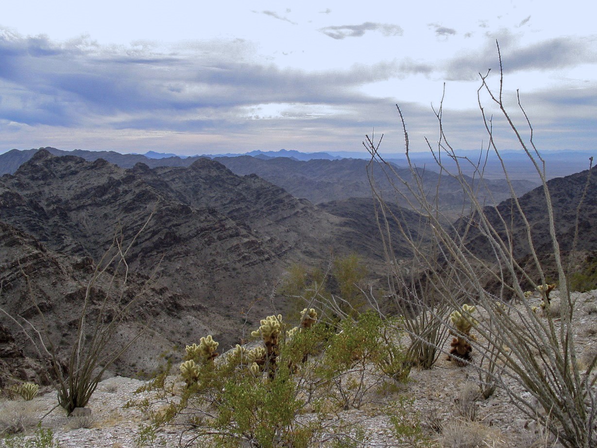
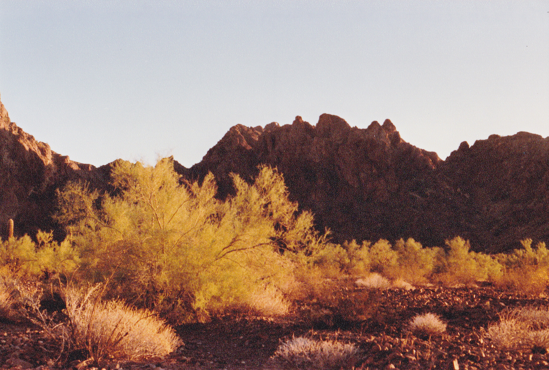
The Palomas Mountains are unique among all of the 193 Arizona ranges, because there are two peaks there that are, for all intents and purposes, the same height. They face each other across a valley, the two peaks being only 7,615 feet horizontally from each other. One has a spot elevation of 1895 feet, the other interpolates to the same height. For a long time, people felt that the south peak, the interpolated one, must be the higher of the two, and that’s the one we climbed. As the years passed, people tried everything to decide once and for all which might be higher. GPS didn’t help. Climbers went in with powerful spotting scopes, even on tripods, sighting back and forth between the two, but to no avail. It was too close to call. So, on the official list of Arizona’s ranges, the Palomas Mountains today are listed with both peaks being the range high point. Okay, enough chatter. I followed Barbara’s directions and, after a few false starts, found myself parked at the foot of the peak on its north side. I hustled up to the top in 50 minutes, a solid class 3. There was her register, and I signed in. Peak 1895 was done, the high point of the Palomas Mountains, or so we believed at the time.
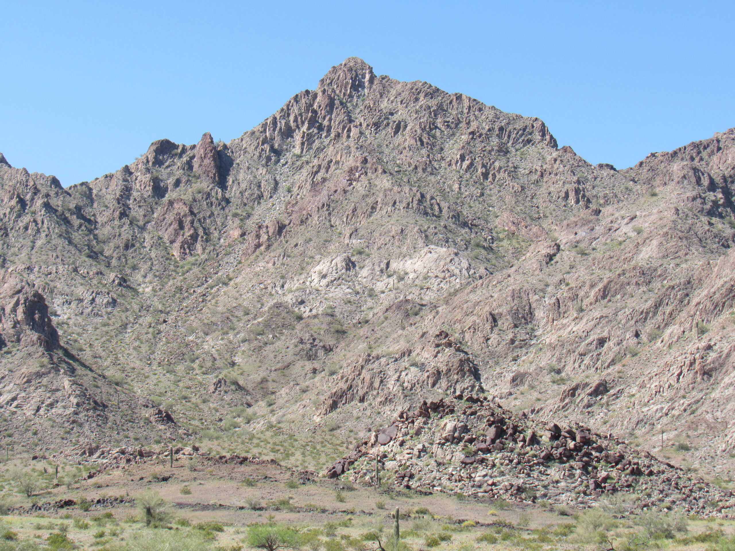
The north side of Peak 1895.
Years later, all of the usual suspects went back in to the range and climbed the other Peak 1895 for the sake of completion. Here it is, quite different in nature from the one seen above. Hard to believe they’re in the same range, so close together.
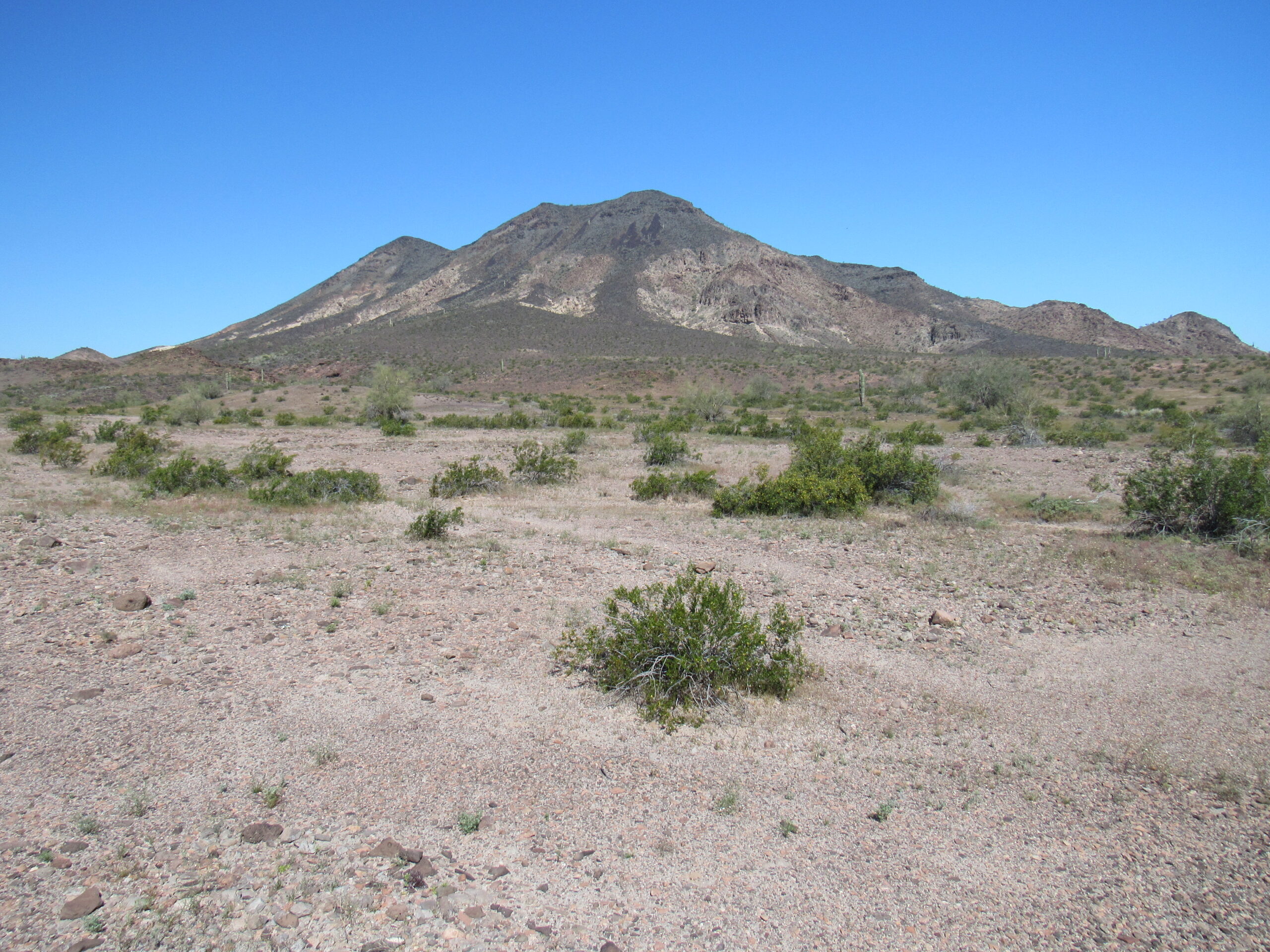
The other Peak 1895, on the north side of the valley – this is its southeast side.
In the winter of 1997, I went back to the Palomas with climber friend Dave Jurasevich to climb both of the contenders. That evening, we sat at our campsite with a nice fire burning, swapping lies and just enjoying the experience of being out in such a beautiful place. We saw something moving at the edge of the campfire’s glow and soon realized what we were seeing – it was a kit fox. This lovely creature hung around for a while, seeming as curious about us as we were of it. They are tiny for a fox, like a very small house cat. We may have even offered it some food.
So, back to 1989 and the task at hand. After climbing the peak, I drove back out all the way to the freeway, updating the road info on my maps. Then 40 miles farther west to Wellton. If heading north was your goal in this part of the state, you could take the Dome cutoff on lesser paved roads and head up on US Highway 95, completely bypassing the city of Yuma. That’s exactly what I did, and 45 easy miles later, I arrived at the turnoff for Cibola Road. This road is unique in that it cuts through the northern part of the Yuma Proving Ground. The US Army controls 1,300 square miles of land in this southwestern corner of the state, and they control it with an iron fist. Civilians are just not welcome in most of this testing center, and they don’t make exceptions for climbers. Cibola Road runs west for 35 miles to emerge near the Colorado River. Once out of the YPG, the road continues south, still in Arizona and on the east side of the river. There were plenty of people living along that stretch, and before long I arrived at the Cibola National Wildlife Refuge headquarters. I tried to get some information from them about how to approach the next peak on my list, but they didn’t know much. While there, I gave a jump-start to the vehicle of a lady who worked there.
I then continued on dirt roads that I hoped were the ones I needed. It was getting dark. I could tell that a lot had changed since the old maps had been published. When I parked for the night, I thought I knew where I was. A GPS would have solved that problem, but this was years before we civilians had them.
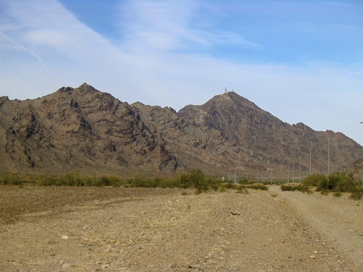
The next morning, it took a while but I finally figured out where I was. I drove up the dirt road towards the old Black Diamond Mine, but when I met a couple of guys who said that the road became impassible before long, I turned around. There was only one thing left to do. I needed an extremely early start to climb my next peak, but this day was already shot, so I’d have to come back and find a better approach and get an early start. I drove back out, found a bridge that crossed the Colorado River and got myself heading north on California Highway 78. Was surrounded by a big herd of sheep being shepherded along for a bit, but made it up to Interstate 10. Heading east, I crossed back into Arizona and soon found the turnoff south into the Dome Rock Mountains. In less than 9 miles, I was parked at a locked gate at the base of a steep dirt road.
Approaching the base of the peak.
Here’s a view down the lower part of the road.
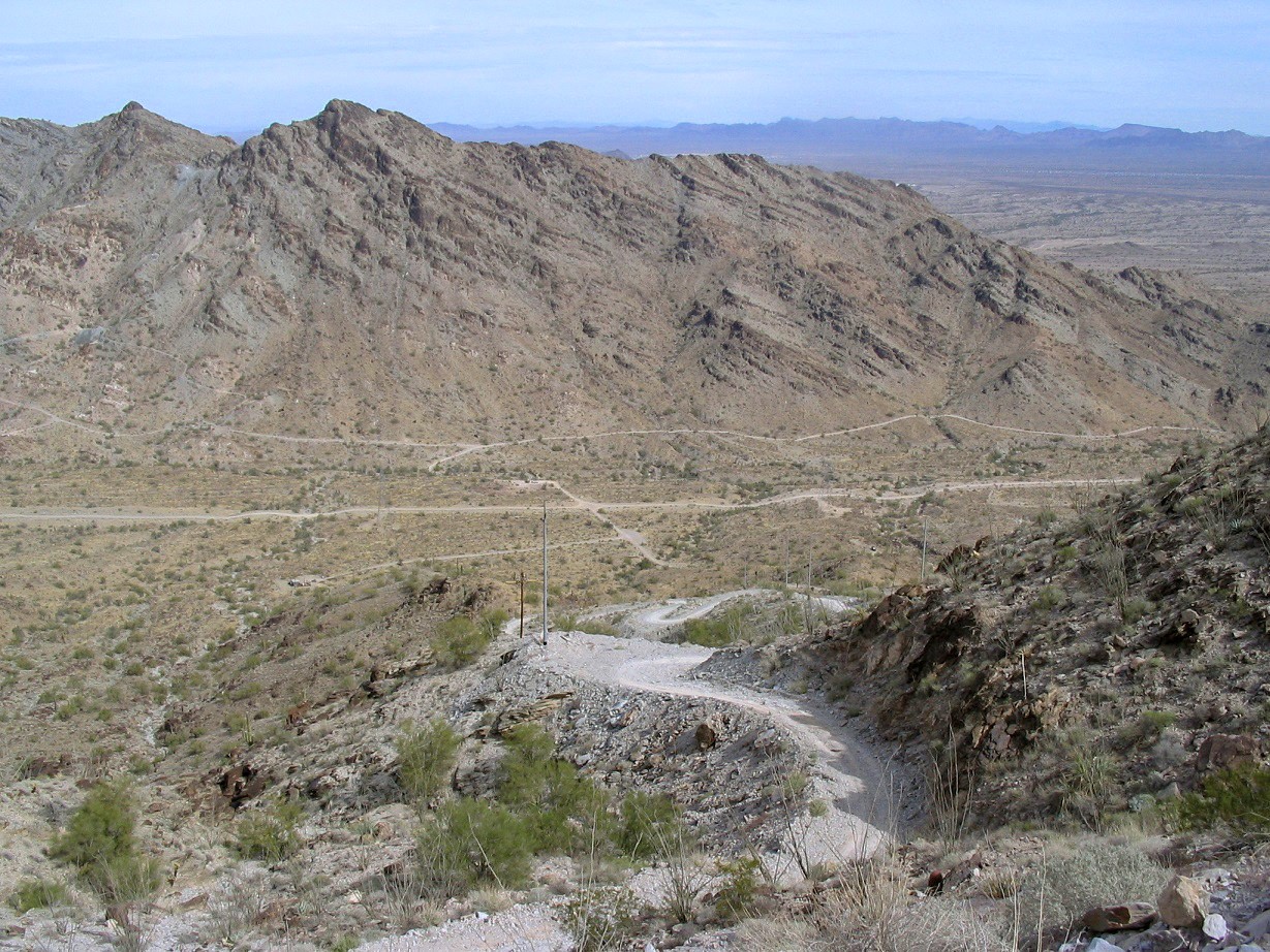
The lower part of the road.
My records indicate that it only took 41 minutes to blast my way up the 1,850 feet to the top – I was in a hurry! Running shoes sufficed for this one, and there I was on top of Cunningham Mtn. the range high point at 3,316 feet. There were some nice long views from higher up.
Looking south.
Looking east to the Kofa Mountains
Once again, I am indebted to climber Scott Surgent for the use of his photos of this peak.
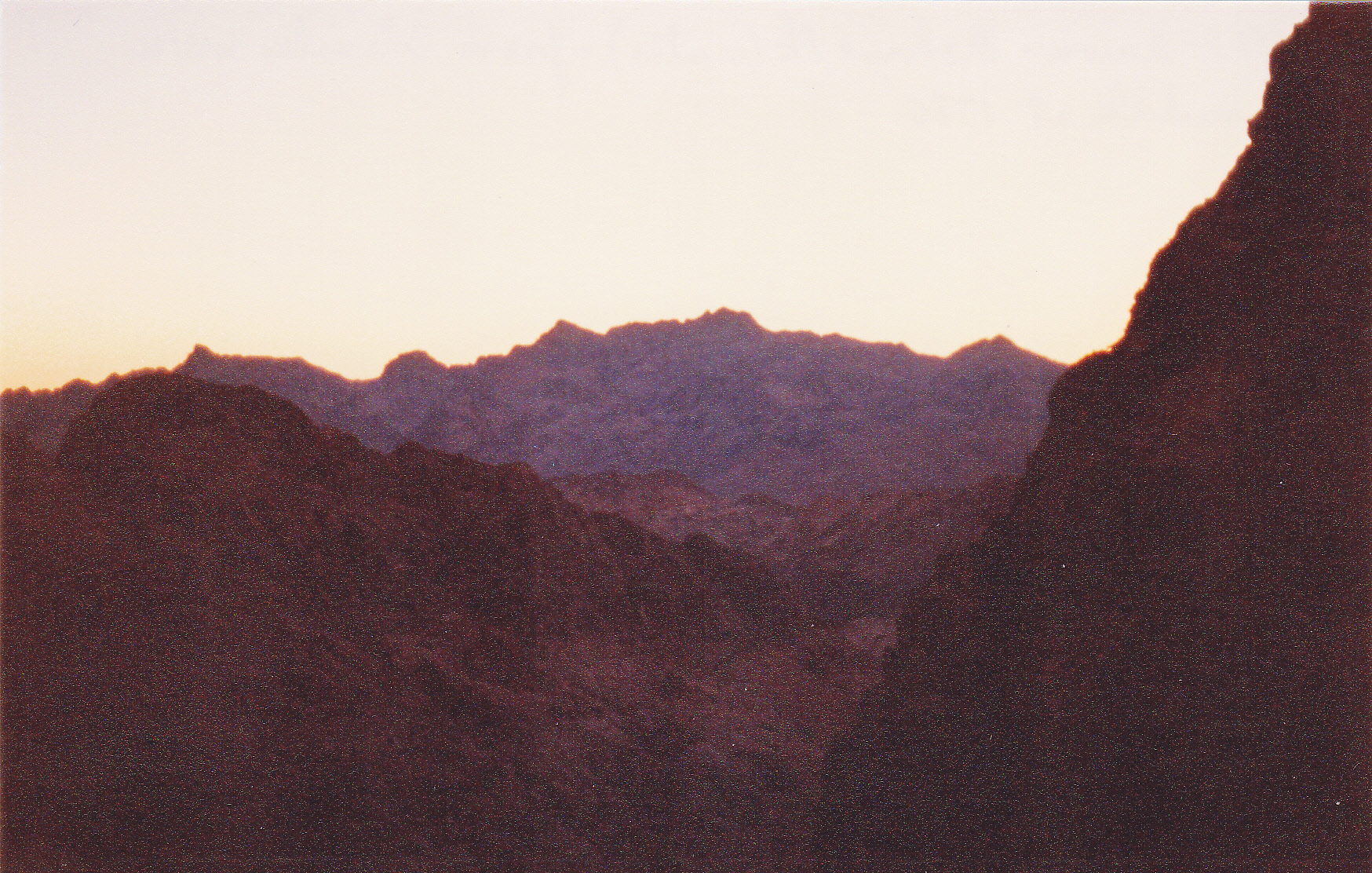
Back down at my truck, I realized that running shoes on a steep road hadn’t been the smartest choice – should’ve stuck with my nice supportive climbing boots and avoided the blisters I now sported. Oh well, nothing for it but to move on. Back out to the freeway, west to California, then south back to Cibola. I had this distant view of the Trigo Mountains where I intended to climb.
Looking southeast to the Trigo Mountains. Trigo is the Spanish word for “wheat”. According to local history, Yuma Indians at one time raised considerable wheat along the Colorado River bottom.
Before long I had found the start of the proper road I wanted to take me east to my next peak. This time it would be the old Hart Mine road, which I followed for 6 miles. I managed almost a mile and a half more up some washes, then parked at a thousand feet above sea level in a nice open spot. This time, I could place myself perfectly on the map – critically important because what I intended to climb next was purely a wilderness trip where good orienteering would be essential. A couple of nearby peaks were good markers.
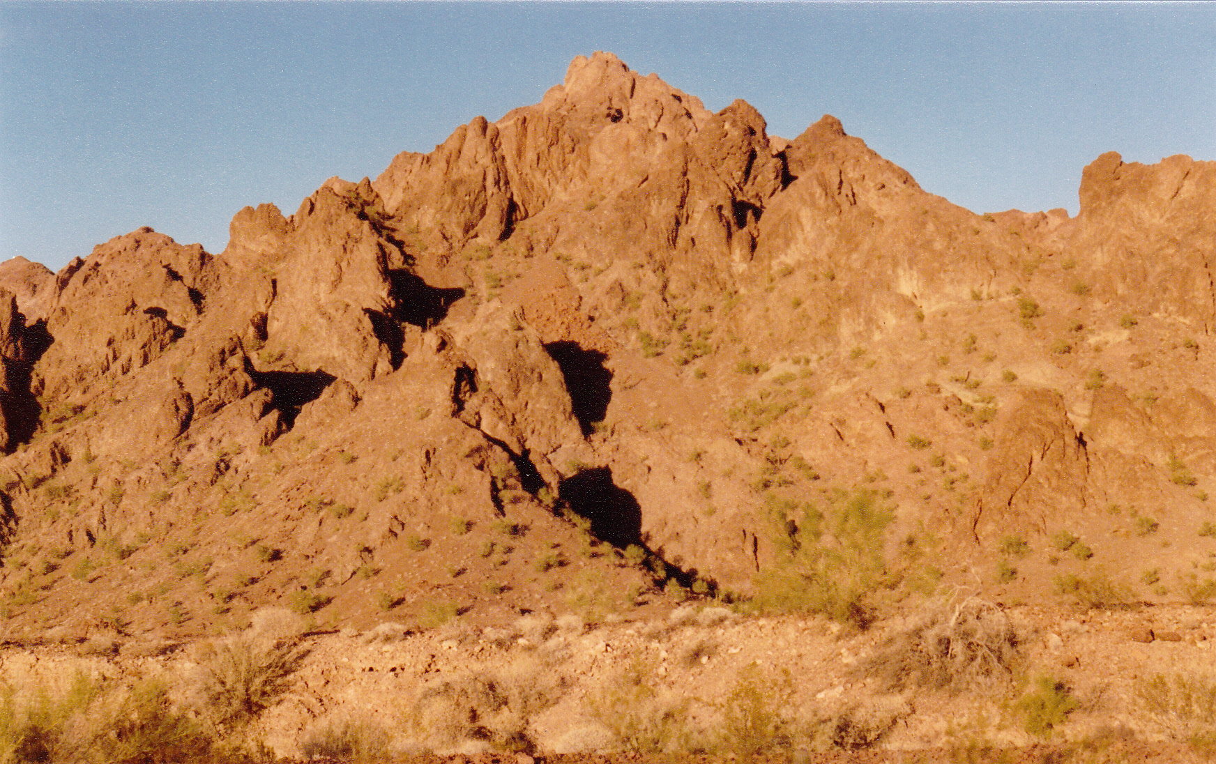
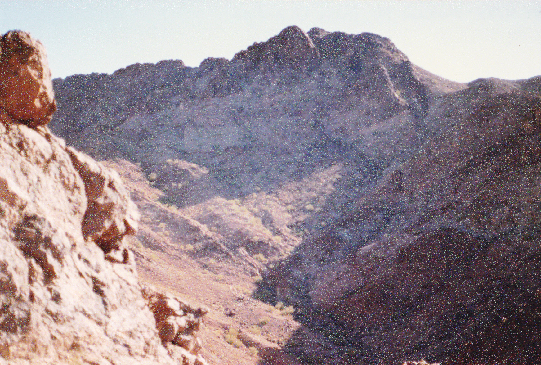
Peak 2562, a mile northeast of my camp spot.
Looking south to Needles Eye, elevation 2,539 feet – do you see the eye on this old photo?
Climbing this peak had been delayed for so long because – well, it posed several problems. First of all, it was on the Yuma Proving Ground. The Army had a total lock on this area, and would never give you permission to climb it. You had to do it as a stealth climb, sneaking in the back door, so to speak. The only sensible route would be from the west side. A route from the west would involve the fewest miles on foot, and would cross Army land that saw very little military activity. The chance of being caught was minimal. In 1989, civilians had no GPS, so you had to do really good work with map and compass when you went in. It was remote enough that if you had an accident while in there, God help you, because no one else could. At the time I went there, I knew of only 2 other parties who had done it: Barbara Lilley and Gordon MacLeod had been in there on Christmas of 1981 (a smart move, as that is one of the days you are least likely to get caught stealthing on military land, along with Super Bowl Sunday); John Vitz and Donna O had also done it at Christmas, in 1986. B and G did it as a backpack, but John did it as a day climb.
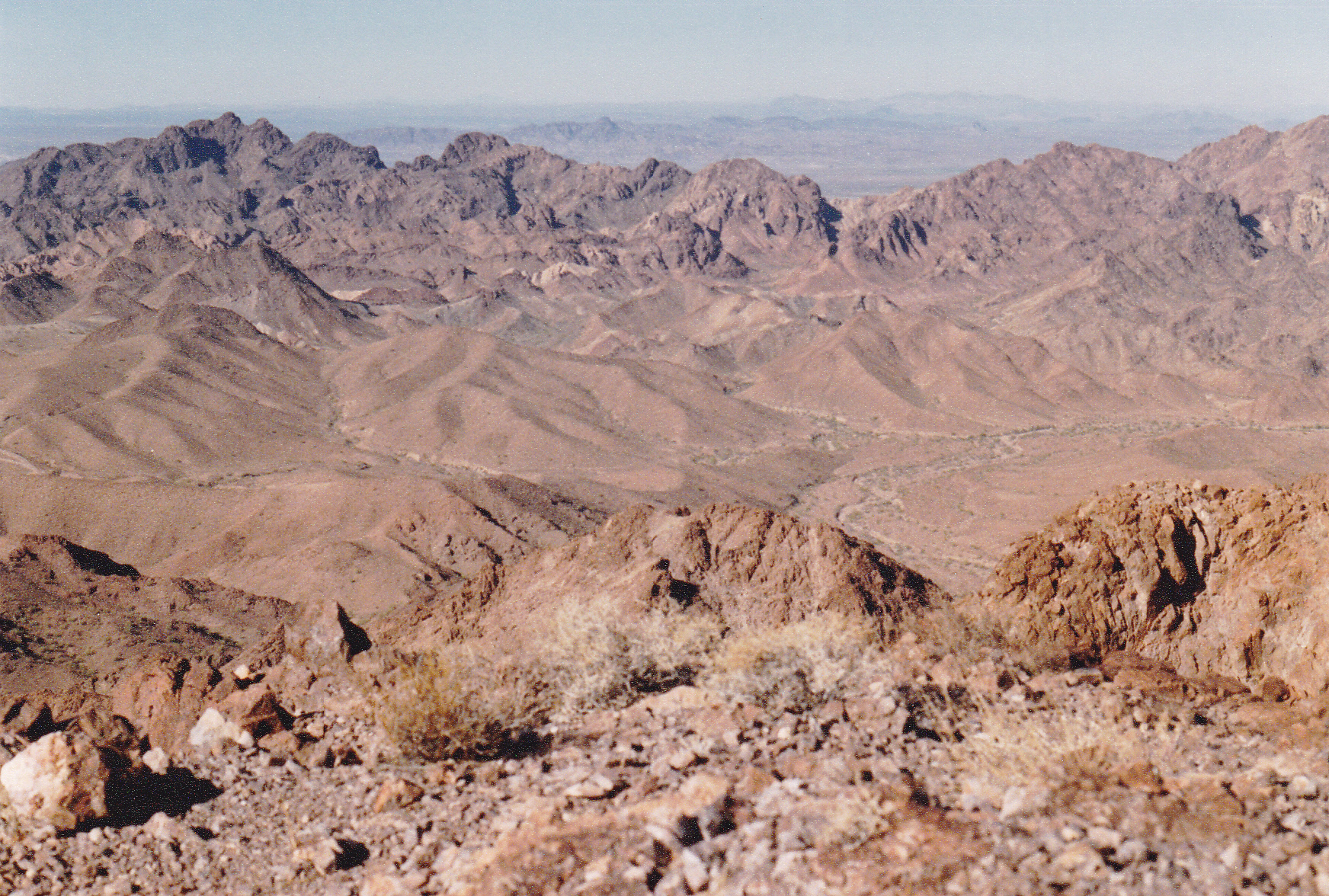
So here I was, poised to do it myself. After a good night’s sleep, I set out on foot early the next morning when it was still dark. Heading east up a wash by headlamp wasn’t too bad, but then I had to climb almost 800 vertical feet to leave that drainage behind. There was a bit of stiff Class 3 rock along the way, and I was glad to top out on a saddle at 1,780 feet. Dawn was breaking as I took this photo looking east. That’s my objective out there on the far horizon.
That’s my mountain out there on the horizon.
Now, there was plenty of light to see, and I scrambled down a steep slope for 400 feet to reach a wash. At least now it should be easier going for quite a while, just staying in drainages. Canyon walls soared 500 vertical feet above me, then things opened up, but still the wash meandered wildly. I finally reached a wider valley at 1,100 feet, then followed it south upstream, before leaving it for yet another drainage which headed me southeast. This was a steady climb, taking me back up to 1,400 feet where walls closed in on me again. It was time to leave the straightforward path of these drainages and really start climbing. That’s what I did, gaining a quick 600 feet to find myself on a western ridge of my final goal.
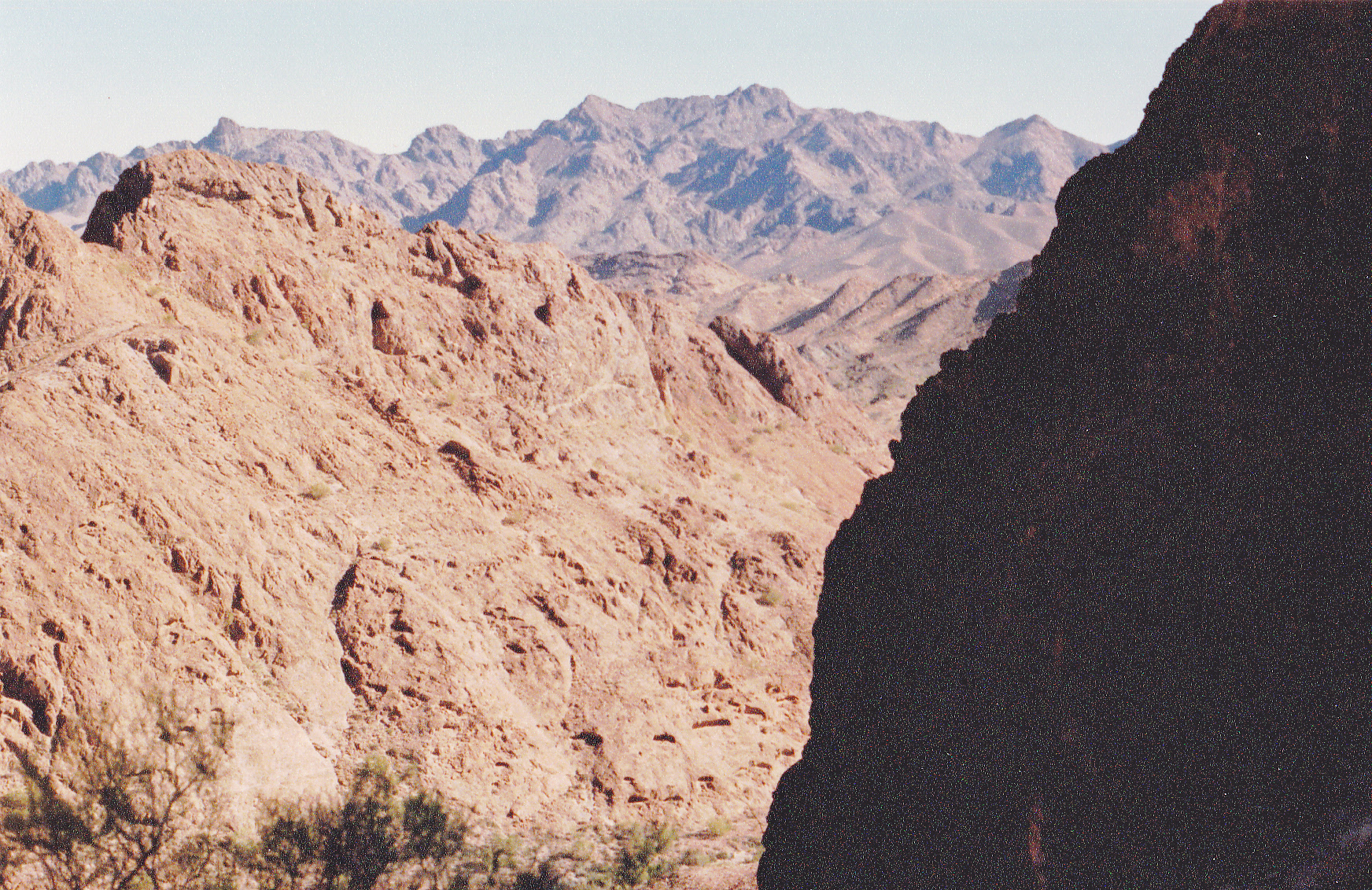
Here’s a picture I took from that ridge as I looked towards the peak.
Looking east towards the peak.
Crossing over a bump at 2,195 feet, I dropped down a bit, crossed over another bump, and found myself at 2,200 feet at the foot of a final slope. A final 600-foot climb put me on top of Mohave Peak, at 2,768 feet the highest point of the Trigo Mountains. It had taken me 4 hours and 9 minutes from truck to summit.
There was some apparatus which the Army had left on top when they had been there, no doubt in a helicopter. I found the shattered remnants of the glass register left by Barbara and Gordon 7 years earlier, having seen such behavior on another peak in the Yuma Proving Ground – apparently the Army didn’t cotton to climbers leaving obvious signs of their having been there. It made me mad, wanting to break something of theirs like the ugly windsock they had put up. I didn’t, though. I took this hero shot on the summit.
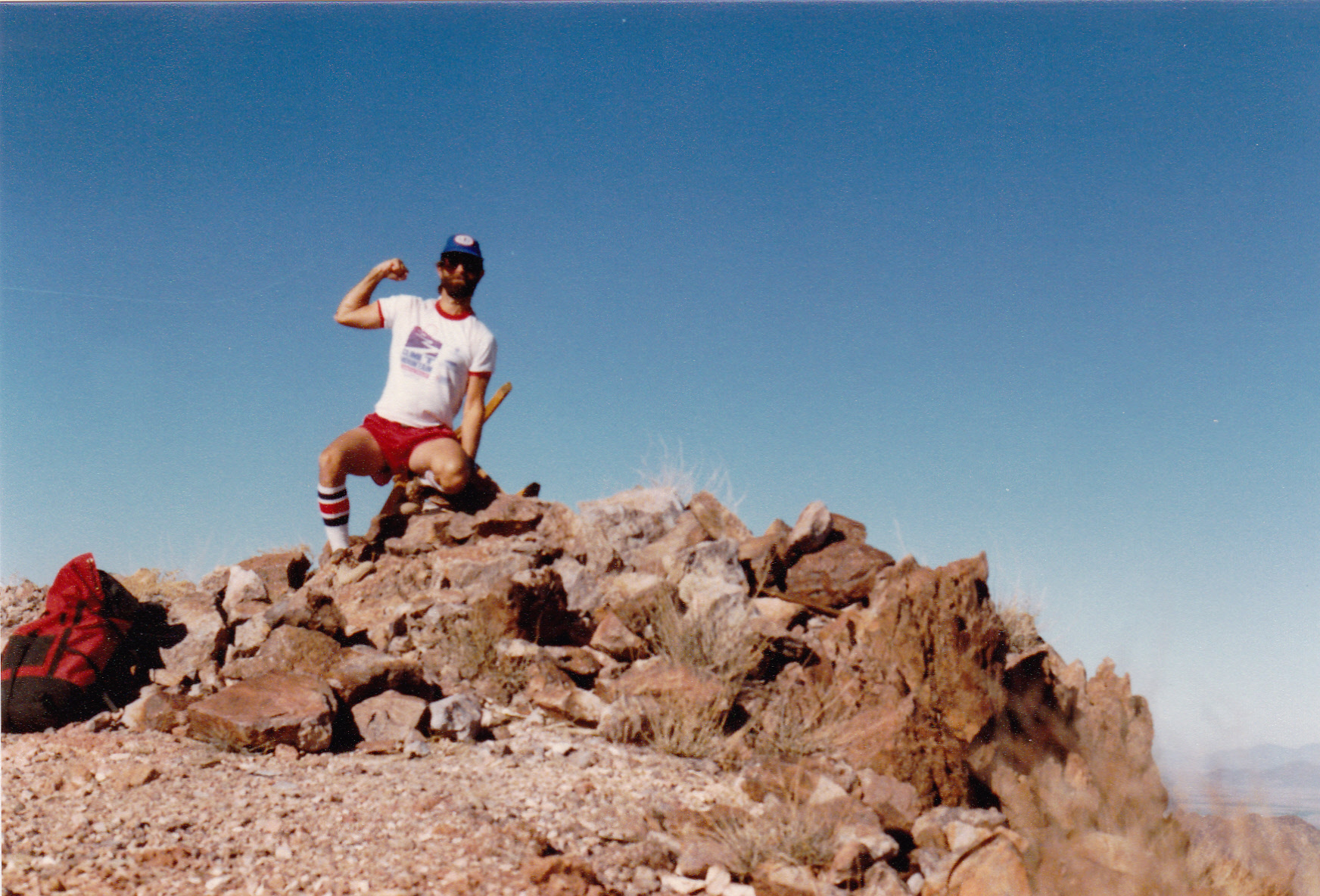
A younger Desert Mountaineer on the summit.
And here is the look back to where I came from. That saddle I reached at dawn is the lowest point in that ridge out there.
The saddle is just to the right of center with a deep shadow in it.
I don’t recall if I left a new register or not. After a few minutes on top, I started back down, retracing my steps the entire way. I took this last photo once I reached that saddle again, looking back to the peak, this time in full daylight.
Looking back to Mohave Peak.
Back at my truck, I saw that a total of 8 hours and 8 minutes had passed – it was 2:30 PM. I was done, and mighty happy at that, since there were only about 11 hours of daylight at this time of the year. In the 34 years that have passed since I visited Mohave Peak, I know of only 10 other climbers who have gone in there – it’s fair to say that it’s still considered quite an undertaking. As I look back on the years spent climbing in all of Arizona’s mountain ranges and thinking of which of them were the most memorable, certain places stand out. I felt back then, and still do today, that the climb of Mohave Peak and the stealth into that part of the Trigo Mountains would rank in the top 5 experiences of them all.
I’ve studied the range and see that it spans about 15 by 32 air miles. It has a total of about 125 peaks, ranked and unranked, which surprised me, as this could be the largest number of peaks of any of Arizona’s 193 mountain ranges. Of those, I can only find 39 of them that have been visited by climbers. The other 86 sit there untouched, the main reason being that the Army has put the fear of God into anyone who would dare venture far off the few roads allowed to be driven. Barbara Lilley and Gordon MacLeod have climbed more of them than anyone else in years past. However, Tucsonan Andy Martin has nibbled away at the edges and has racked up quite a few in recent years.