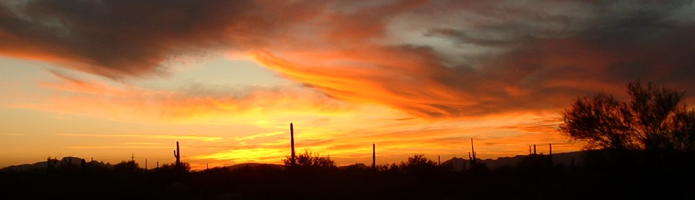
Howdy Folks – today I’m going to spin for you a tale about how I climbed Cathedral Rock. It happened long ago, in the before time when the world was a younger place. I was younger too, and sometimes bit off more than I could chew. It all started off fairly innocently, and it went something like this.
In late 1988, a Tucson friend and I planned a grand traverse through the Santa Catalina Mountains. Came the time to begin this epic and he wasn’t even in town – I couldn’t get ahold of him. Eventually he told me that he had forgotten all about it – what an ass! So I decided to go by myself. With a rather large pack, I set out early on the morning of December 14th. By the time I struggled to the top of Pusch Peak, Bighorn Mtn. and Table Mtn., I realized that the huge cliffs on the north side of Table Mtn. had turned my little escapade into a pipe dream. I had no choice but to backtrack and eventually make my way down steep country to Pima Canyon, where I threw in the towel and headed home. Here are a few photos from that day.
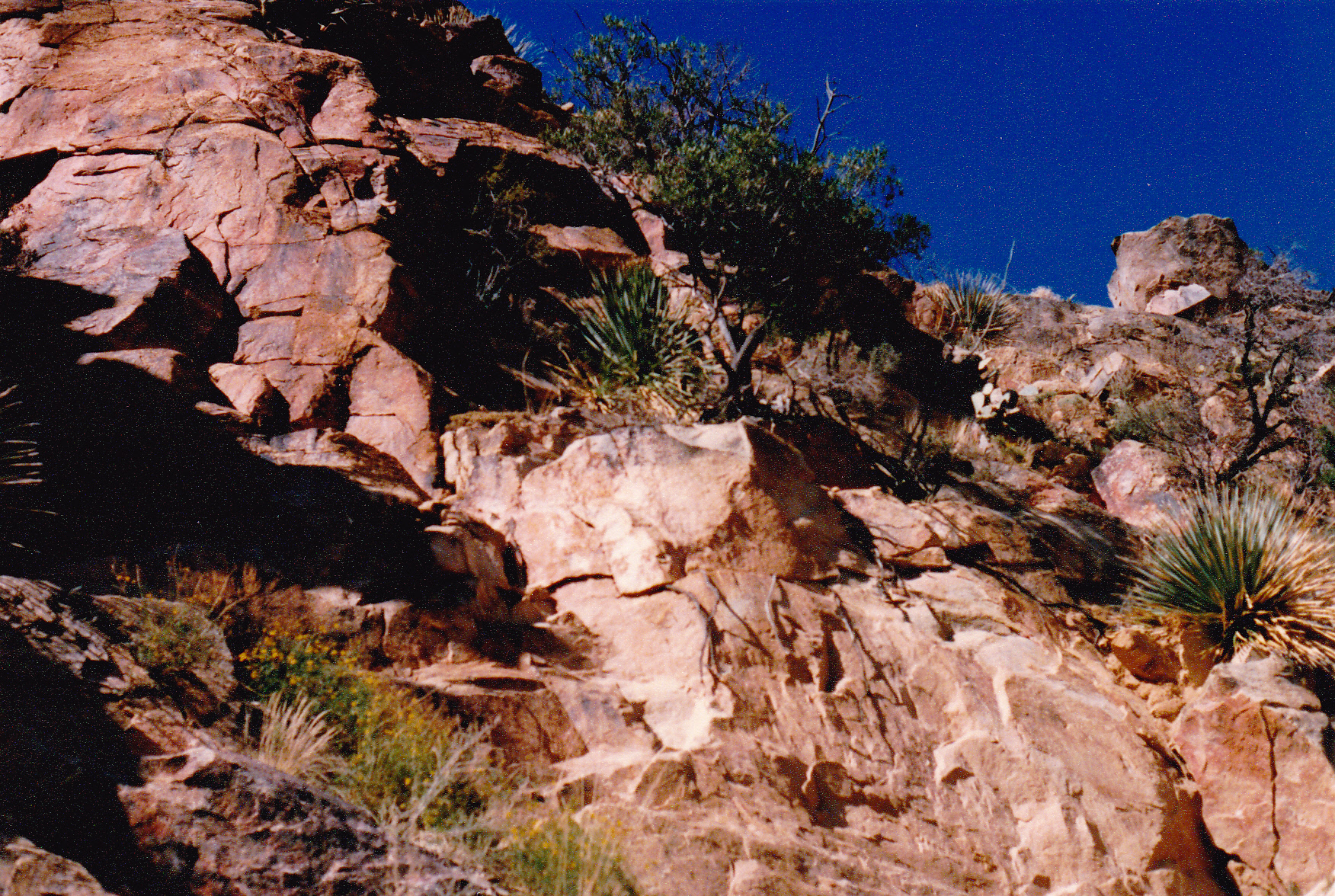
On the northeast side of Pusch Peak.
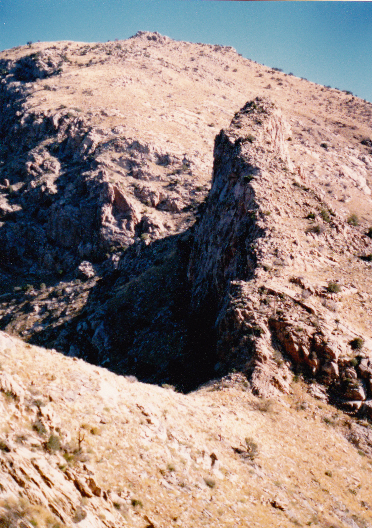
Looking northeast to Bighorn Mtn.
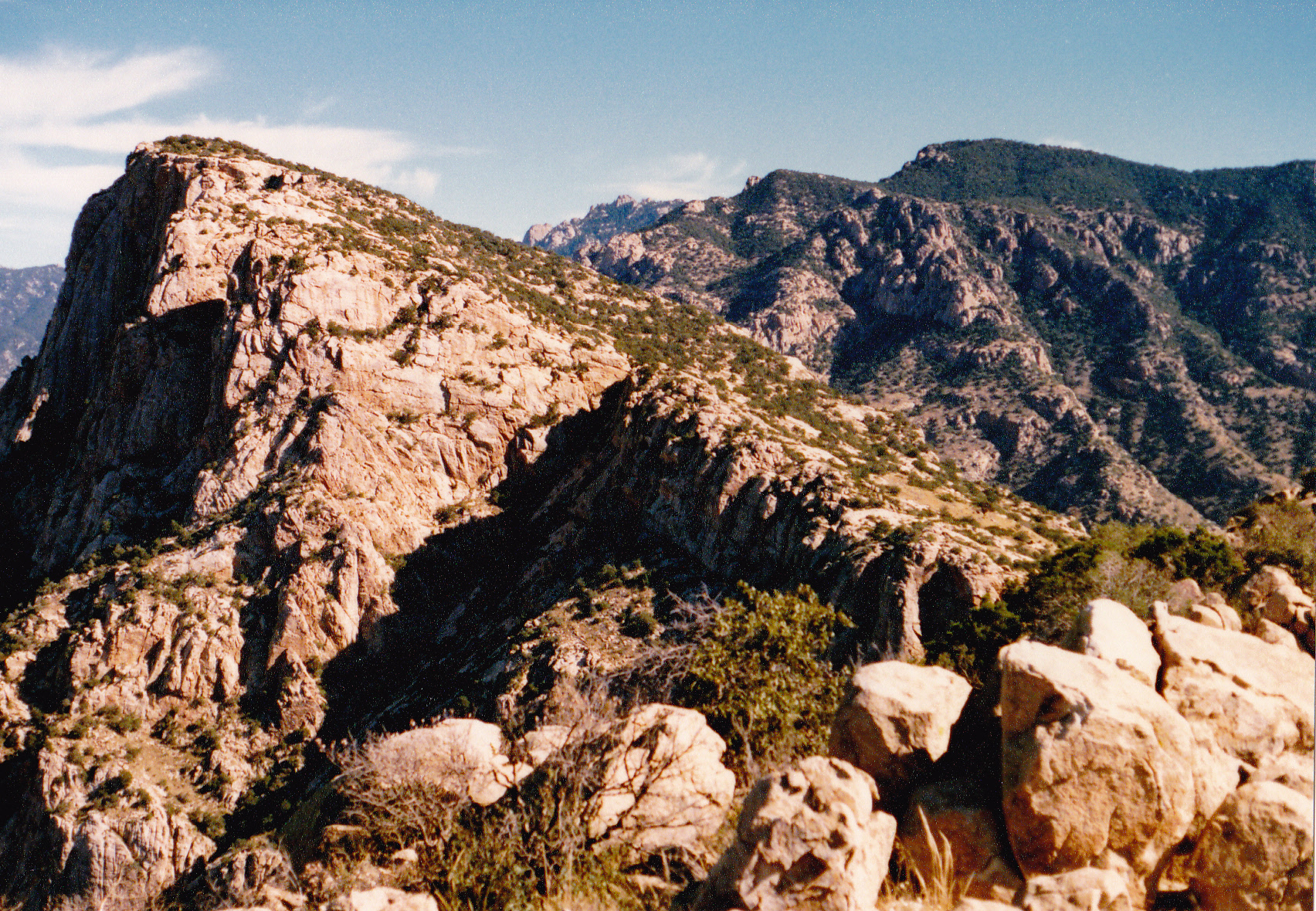
Looking northeast from Bighorn Mtn. to Table Mtn.
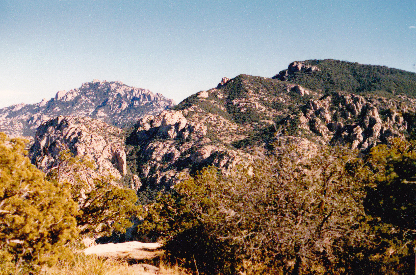
Looking east from Table Mtn. to Mt. Kimball, the dark wooded one on the upper right.
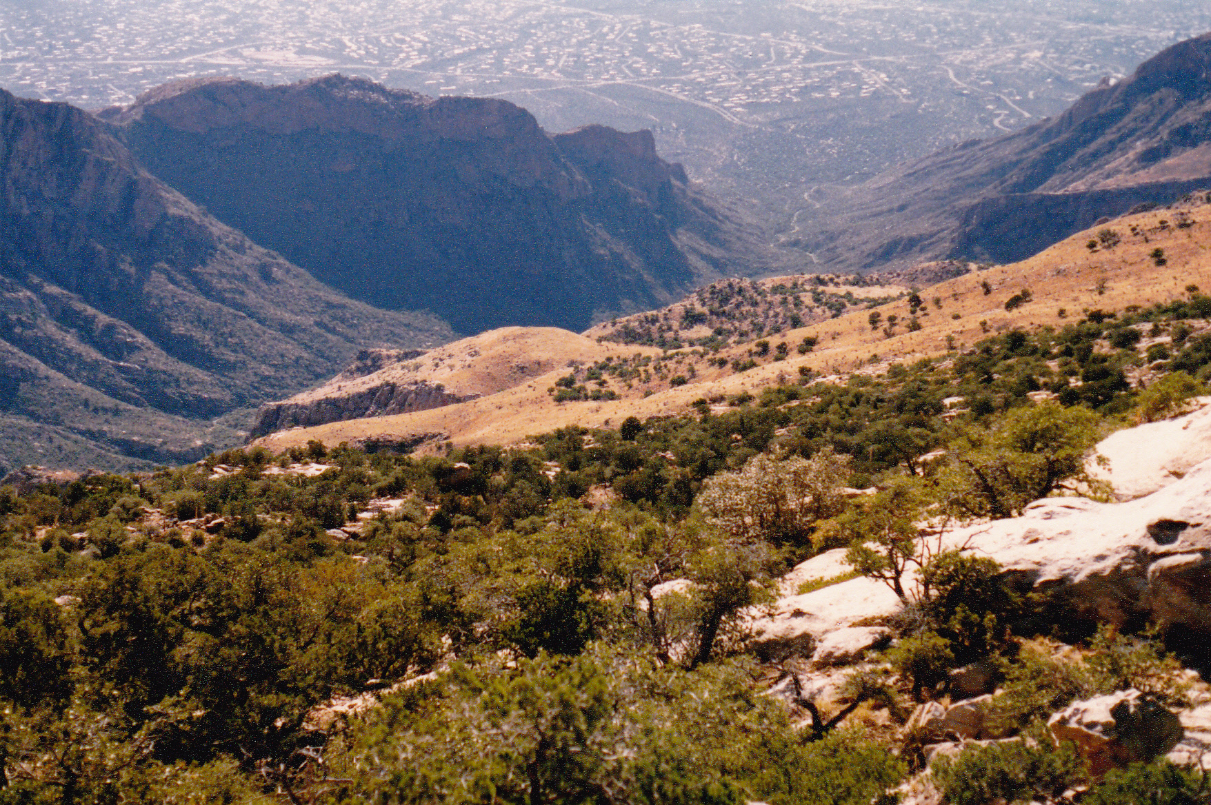
The south slope of Table Mtn. where I descended to Pima Canyon to end my trip..
The fact that I had failed so miserably must have stuck in my craw, because only a few months later, I had a new plan. The grand design would be that I would complete, as a day climb, three summits – Mt. Kimball, Window Peak and Cathedral Rock. It seemed like it would be a challenging day, so I had a friend drop me off early at the Pima Canyon trailhead, at 2,920 feet elevation. I made good notes, and I still have my original field maps from that day, so I can now tell you the complete tale with full embellishment.
I started on foot at 6:07 AM, on February 15th of 1989. (In retrospect, I probably should have started earlier.) I wore only a day pack, so I was traveling pretty light. I was 41 years old at the time, and probably in the best shape of my life. By 7:34 AM, I was 3.2 miles up the Pima Canyon trail. By 9:28 AM, I had reached Pima Saddle at 6,340 feet and felt like I was moving well. Continuing up the trail. I climbed out of the canyon and reached 7,200 feet, where a short trail branched off to the north and took me to the top of Mt. Kimball (7,264′). From there, I had this view to what was next – a view northeast.
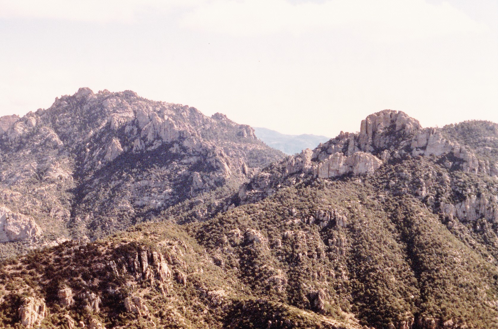
From Mt. Kimball, looking northeast to Cathedral Rock on the left and Window Peak on the right.
It was now 10:35 AM. I tagged the summit, walked down the short branch trail, and continued along the main trail. At around 6,880′ near a saddle, the trail branched again. One branch headed south back down Finger Rock Canyon, but that wasn’t the one I wanted. Instead, I took the fork that headed north.
That trail contoured across the mountainside and eventually reached a saddle at the head of Ventana Canyon at 6,140′. It was easy to follow, and I reached the saddle by 11:40 AM. A short distance beyond the saddle, as I was climbing again, the trail coming up Ventana Canyon met with mine at about 6,200 feet. My trail continued southeast along a ridge to pass by Window Rock, a feature which can be seen from the city of Tucson far below. I went up to the Window, and shortly after that, left the trail to climb up to the top of “Window Peak” at 7,472 feet. When I reached the top, it was 1:15 PM – the day was wearing on.
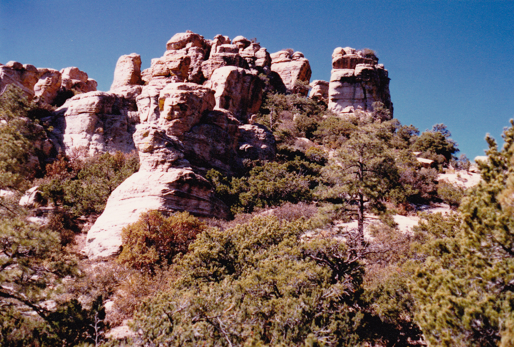
Looking north up to Window Peak
And here was the view I had to my next objective, Cathedral Rock.
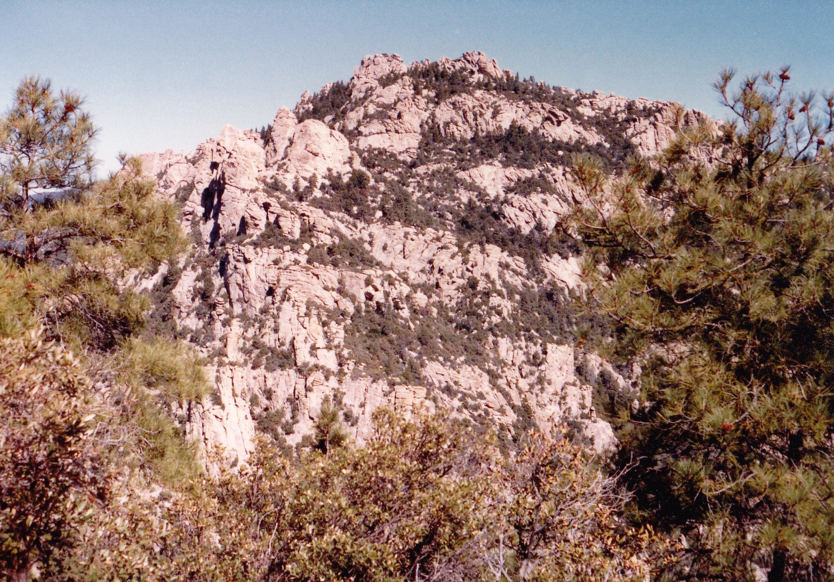
Looking north to Cathedral Rock from Window Peak
From there, my trail swung around to contour the east side of Window Peak, heading north. It then dropped down in a series of switchbacks to the east and southeast to arrive at Esperero Canyon at 6,160 feet elevation. From there, my notes don’t say much about the time of day. The trail contoured southeast, then northeast for some distance until I arrived at a saddle at 6,850 feet. There, I was just over half a mile as the crow flies to the southeast of the summit of Cathedral Rock. Then began a climb, using a sketchy path, up to the high country of Cathedral. Here is a telephoto shot taken from Rattlesnake Peak to the southeast which shows the upper part of Cathedral. I show it here to illustrate what I would next have to deal with.
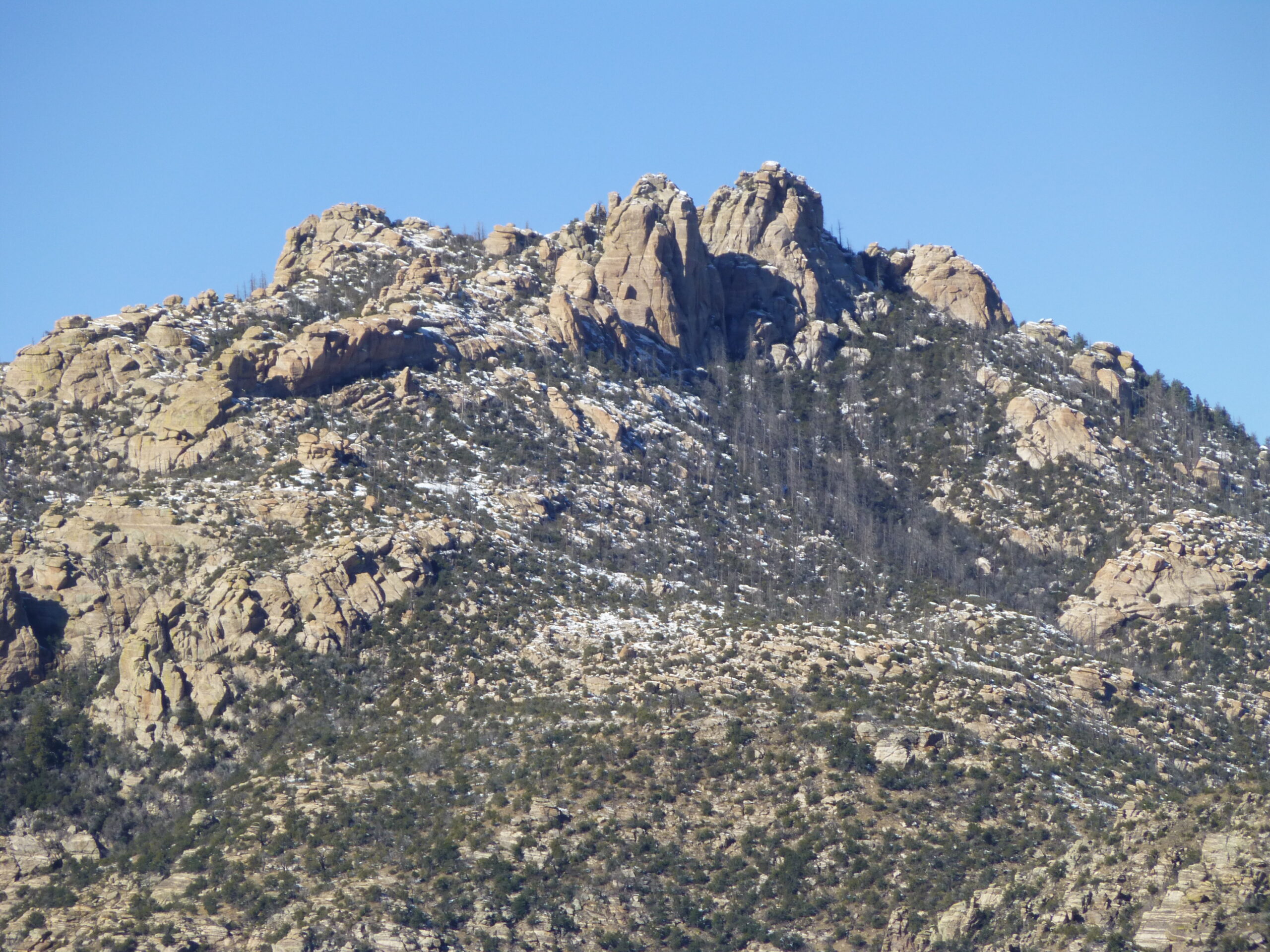
The east side of Cathedral Rock
I made my way up another thousand vertical feet to arrive at the summit area. Hindsight is always 20/20, as they say, but I wish I had tried harder to gain some detailed information about the terrain up there. Since I didn’t really know where to go amongst the pinnacles that populated that area, I found myself wandering around looking for the highest spot. Try as I might, I couldn’t convince myself which spot was the highest – there were a bunch of confusing pinnacles, some of which looked like challenging climbs, and as the afternoon advanced apace I started to fear that I’d run out of daylight out there in the middle of nowhere. It was heartbreaking, but I decided to exercise caution and end my search without having reached the highest point.
I descended the slope back down to the 6,850′ saddle, then back down to the head of Esperero Canyon which I reached at 4:52 PM. The next part of my journey would be a descent of that canyon, and I knew nothing about it. There was a trail, which stayed in the bottom of the canyon for the most part – a bit sketchy in spots, but doable. I passed Bridal Veil Falls, and later Geronimo Meadow. I’m afraid that I wasn’t admiring the scenery, though, as I knew I’d soon lose the light. Just south of the meadow, the trail climbed up out of the canyon and darkness was upon me. The moonlight helped a little, but I still needed to use my headlamp as I followed the trail south past Mt. Miguel. Eventually, the trail spit me out into a residential area and I finished by walking to the Sabino Canyon parking lot where I had earlier parked a car. It was 7:40 PM when I finished. My day consisted of almost 14 hours on foot, and had covered 25.2 miles and 10,160 vertical feet. However, I was disappointed – missing out on Cathedral after all that effort.
The Cathedral bug must have bitten me pretty hard, because 8 months later I was determined to climb that peak no matter what. This time, I’d go in just to do that one peak and nothing else. The thing about climbing Cathedral Rock is that there is no short or easy way to do it. I didn’t fancy going back in via Esperero Canyon, so instead I decided to head up Sabino Canyon. The folks who run Coronado National Forest have a shuttle which runs up the canyon from their visitor center. You can walk up the canyon. You can also ride a bike up their road, but only during the hours when the shuttle is not running. I decided to use my bike.
On October 31st of 1989, I rode my bike 3.8 miles up to the end of the road and locked it to a guard-rail at 3,334 foot. I then lit out up the trail and at about 3,720 feet I reached a junction. There, I headed northwest up what is called the West Fork of Sabino Canyon. The trail was good, easy to follow, and I soon passed Hutch’s Pool. The trail stays more or less in the canyon bottom, and finally, at 5,350 feet, a fork leads southwest, switch-backing steeply uphill to arrive at the saddle at 6,850 feet, the one southeast of Cathedral. Once again, I climbed the faint trail up to the high country around the top of Cathedral, gaining another thousand feet in the process.
It was like déjà vu all over again when I reached that summit area. I had done plenty of research, though, and this time I wouldn’t be denied my prize. I continued uphill to the north. There were a few bumps that looked like they could be the highest point, but I knew that the contour which enclosed the 7,957′ point contained the highest point of Cathedral Rock. I stayed west of the high point, then circled around to the north side of it, then came at it by heading east, then south, kind of in a loop. The summit tower looked a bit intimidating. I went up a short, gritty gully, then crossed an exposed place to step across, with a final rock scramble to the top. There was a metal ammo box on top with the register inside it. I thought the climb was Class 4, but I see online that people think it is Class 5.0. It had taken me 6 hours to reach the summit from the time I left the visitor center. Here is a good photo of the summit tower, courtesy of climber Stav Basis at stavislost.com
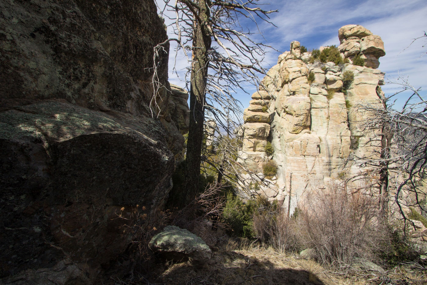
The summit tower.
What a relief to be finally done! I savored the view for a while, then started back down, retracing my steps down from the peak and then down to Sabino Canyon. By the time I made it back to where I had left my bike, the shuttle had stopped running so I was free to ride back down the road (coasting pretty much all the way, as it was all downhill). It had been a successful day, my peak was finally climbed with no mishaps and with plenty of daylight. My stats for the climb were as follows: total vertical (I count every little bit of up and down) was 8,065 feet; I rode my bike 7.6 miles; I covered 20.8 miles on foot. Cathedral Rock is an undertaking, no matter how you attack it, and it confounds plenty of people. It took me 2 tries, and I was lucky at that.