I’m still surprised when, once in a while, I discover photos I took back in the 1960s and 1970s, photos that were stored away someplace that I had forgotten about. The nice thing about the photos I took during those decades is the quality – they were all taken on 35 MM color slide film, which I learned could be the modern equivalent of about 5 – 15 MP, depending on how fine the film is. That’s quite decent, in my humble opinion, because nowadays the photos I take on my digital camera are typically 5-7 MP. So, the bottom line is that when I discover those old photos, I am still quite pleased with the quality and am happy to use them in my stories. Recently, I discovered some photos I took in 1978, photos that I hadn’t seen since then. It was like Christmas Day and my birthday all wrapped up into one, and I was as giddy as a schoolboy with a new bike. I am proud to include them here in this retelling of the story of my climbs in the Tretheway Creek area of southwestern British Columbia.
1978 was a very good year. I was self-employed, and enjoyed the great luxury of being able to go climbing whenever I pleased. Translate “whenever” to mean “when it wasn’t raining”. In the Coast Range of British Columbia, rain is always a factor. I had bought a Gore-Tex rain suit, but as some of you old-timers may recall, first-generation Gore-Tex left much to be desired, so the smart move was to head into the hills when the weather was good. In any case, in 1976 I had set a personal goal of climbing at least two peaks a week, with a total vertical gain of 2,000 meters per week. By dint of hard work, I had been able to achieve that, and had done so again in 1977. As 1978 dawned, I wanted to keep up the vigorous pace, but really wanted to throw in something special, and it seemed that chasing mountains that appeared unclimbed would fill the bill.
In February of 1978, Ross Lillie and I had done something memorable, the first ascent of Robertson Peak. It was the highest peak in the rugged area lying between Harrison Lake and the Stave River and Stave Lake. For some reason which even today I don’t fully understand, this ultra-prominence peak had evaded everyone’s attention. It had sat there since the dawn of time, untouched and aloof. Sure, you could spy it from miles away on all sides, but nobody had gone in there to try it. It didn’t even get a mention in Dick Culbert’s book “Alpine Guide to Southwestern British Columbia”. The Tretheway Creek drainage had been logged many years before 1978. The old road heading south along the creek was still easy to follow, and not very overgrown. Oh sure, you couldn’t drive a vehicle up it, there were too many saplings and too much brush growing up through the road-bed to do that, but you could easily walk it. We had walked it in the dead of winter when it was deep in snow, but you could easily walk between the growth – it was no bushwhack, that’s for sure.
That trip had given us an enticing glimpse into the largely-ignored area drained by Tretheway Creek. Tempting, very tempting indeed. I couldn’t get it out of my head, and as the months rolled by I found myself making plans to get up close and personal with all that Tretheway offered. Once summer was well under way, it was time to make my move.
My sister Karen and her boyfriend Art kindly offered to give me a ride. We left the town of Mission on July 6th, a Thursday, at 6:30 PM. It was a long, slow drive of three hours on the logging road up the west side of Harrison Lake. Actually, it wasn’t a bad road back then – it didn’t even require high-clearance. They dropped me off with my fully-loaded backpack at the start of the old Coon Creek logging road, at about 900′ elevation, then turned around and started the long drive back home. I didn’t go far that evening, only climbing up to 1,200′ and stopping for the night. I carried no tent, electing instead to use a Gore-Tex bivi bag with my down sleeping bag. The weather was clear and the bugs were out for blood.
My goal was to climb up to the ridge and follow it south, climbing peaks along the east side of Tretheway Creek and going as far as I could. I’d see how it went, and make decisions based on whatever I encountered. It felt good to be self-contained, moving through the high country with no timetable – I just wanted to enjoy every minute of it. The maps I was using had 100-foot contours, but at that time Canada was well into the process of converting to metric. For the purposes of this story, I’m using feet instead of meters.
Day 2, Friday
I slept in, so by the time I got moving it was already 6:30 AM. Following the old road, I just kept climbing higher. For the most part, it was decent going, but there were a few spots where it was badly overgrown and more trouble than it was worth. Finally, the road ended and I entered a nice, mature forest at 3,600′ where I stopped for a well-earned rest. As I look at current satellite photos, I can find no trace of that old Coon Creek logging road. In the 50-odd years since I walked up that road, Mother Nature has completely erased it – it’s like it never existed. I had learned that the Tretheway family had logged the area in the 1940s and 1950s, so even by 1978 it may have sat undisturbed for many years before I went there. Moving on, I kept gaining elevation until at 4,900′ I stopped on the ridge at noon for some lunch.
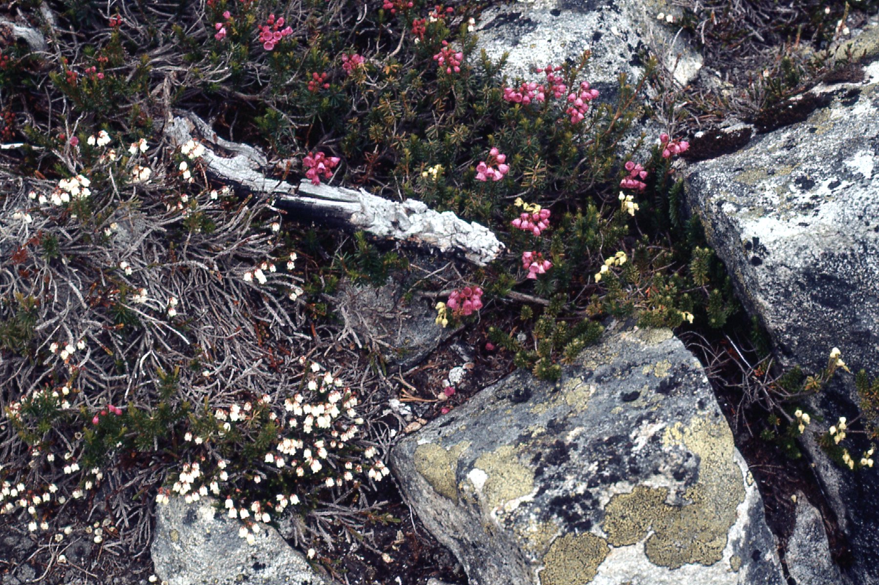
The 3 kinds of heather that I commonly saw in the mountains – white, pink and red.
It was hard not to appreciate the views, and I found my attention going back to the peaks I could see to the west and southwest across Tretheway Creek. They were beautiful, with so much land above tree-line – I found myself figuring out possible routes through them. However, the ridge I was on also offered plenty of challenges – I just hadn’t come to them yet.
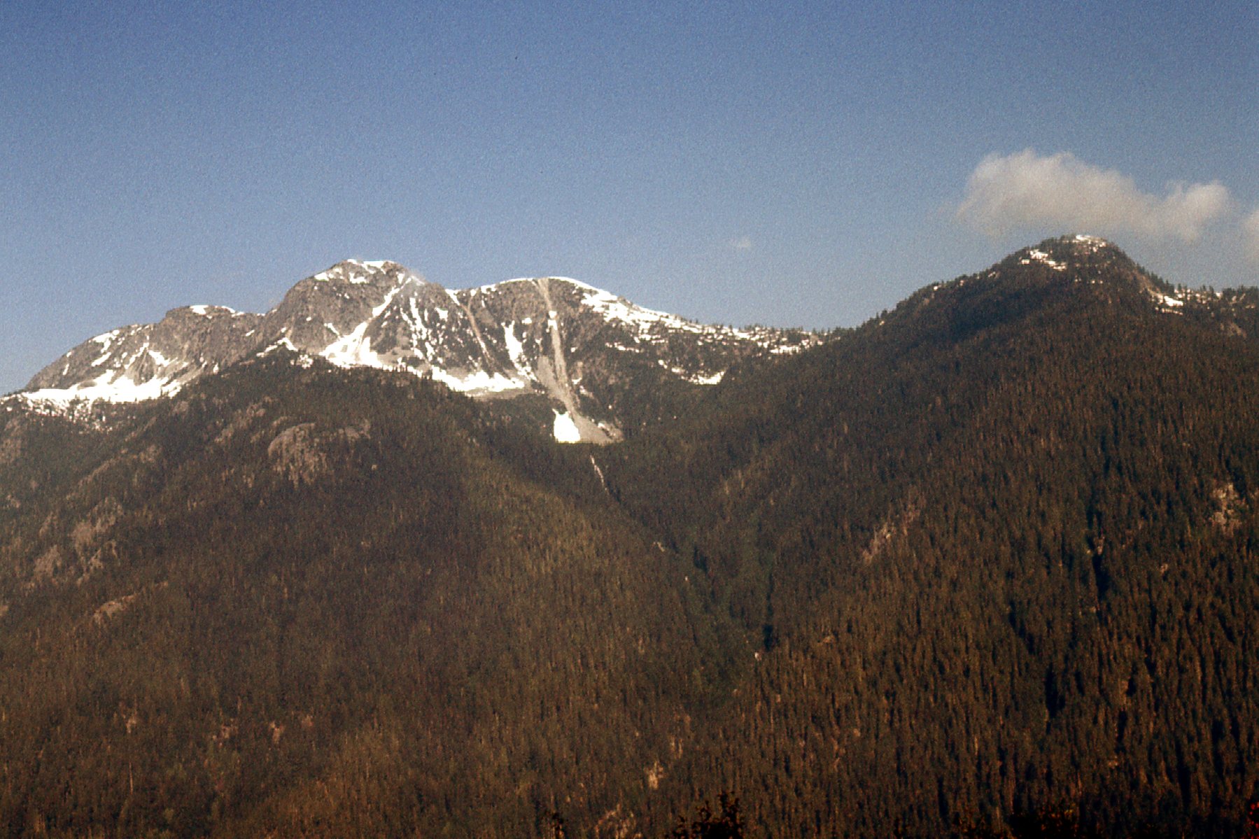
Looking west across lower Tretheway Creek to Peak 5400 on the right and Peak 6000 on the left
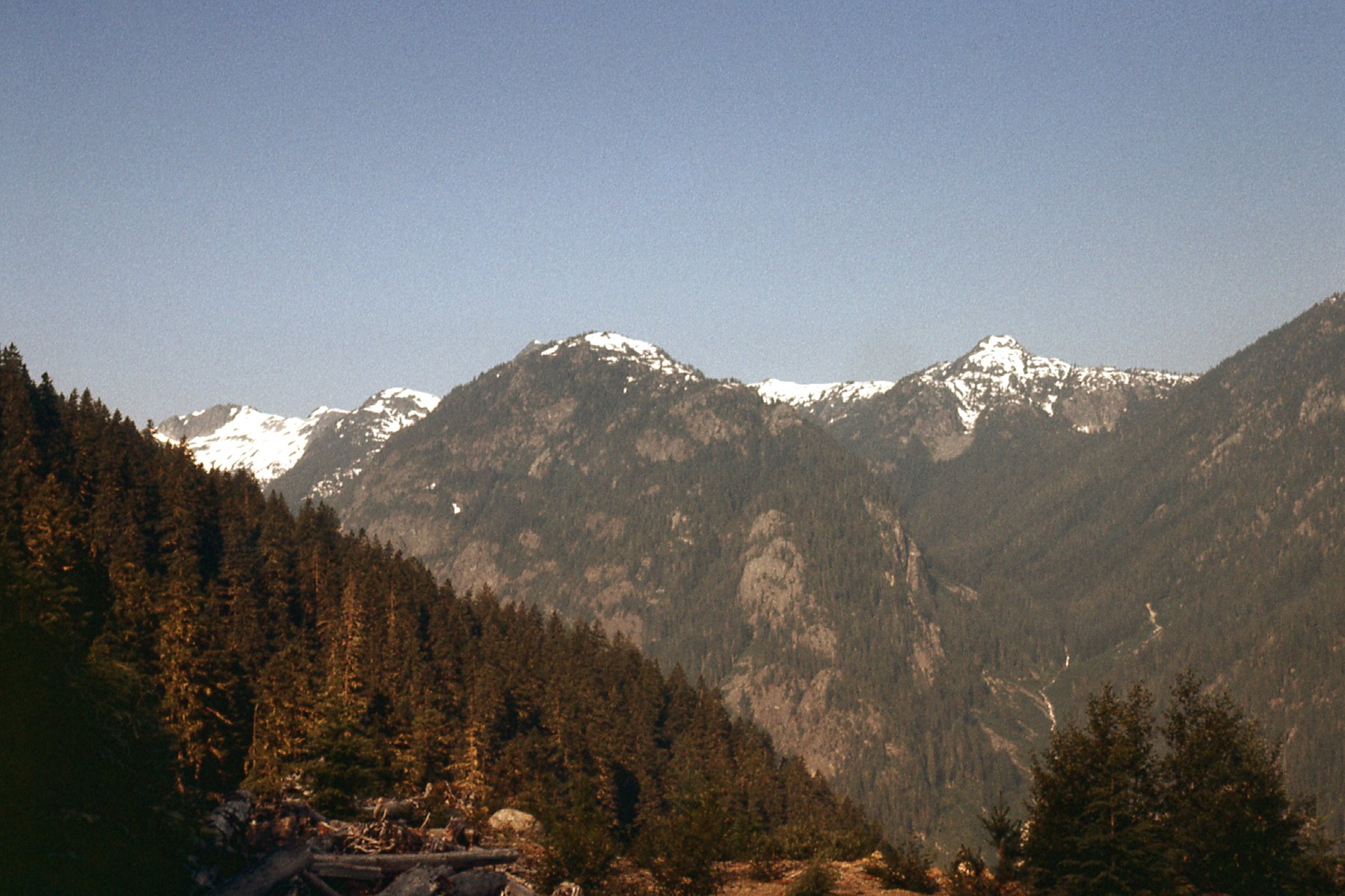
An enticing look at the same ridge as the previous photo but further along it to the south.
The maps I was using were the old 1:50,000-scale topo maps – they were lousy, but back then I didn’t know anything else. It’s amazing how many cliffs don’t show up with 100-foot contours, and those maps got a lot of climbers into trouble.
The first summit I encountered on the ridge was Peak 5700′, which I climbed by its south ridge. It was 2:05 PM, and it had taken me seven and a half hours of travel to get there. Fortunately, the days were long and I could climb until late in the evening. I left a cairn and register, then dropped back down to the col to the south of Peak 5700′ where I dropped my pack. From there, I climbed up the north ridge of Peak 6000′, a 900-foot gain from the col. Once again, it appeared that no-one had been there before me, so I left another cairn and register.
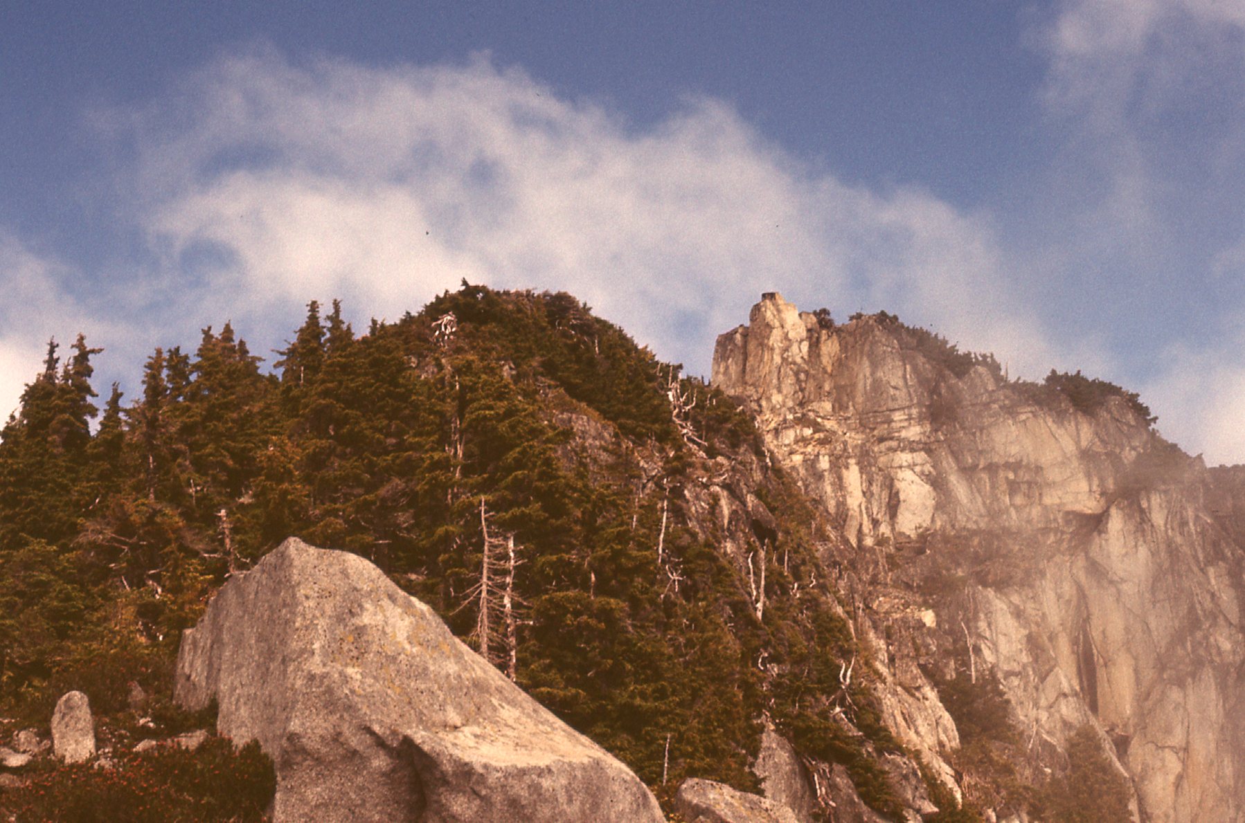
On the far right, we see the northeast side of Peak 5700
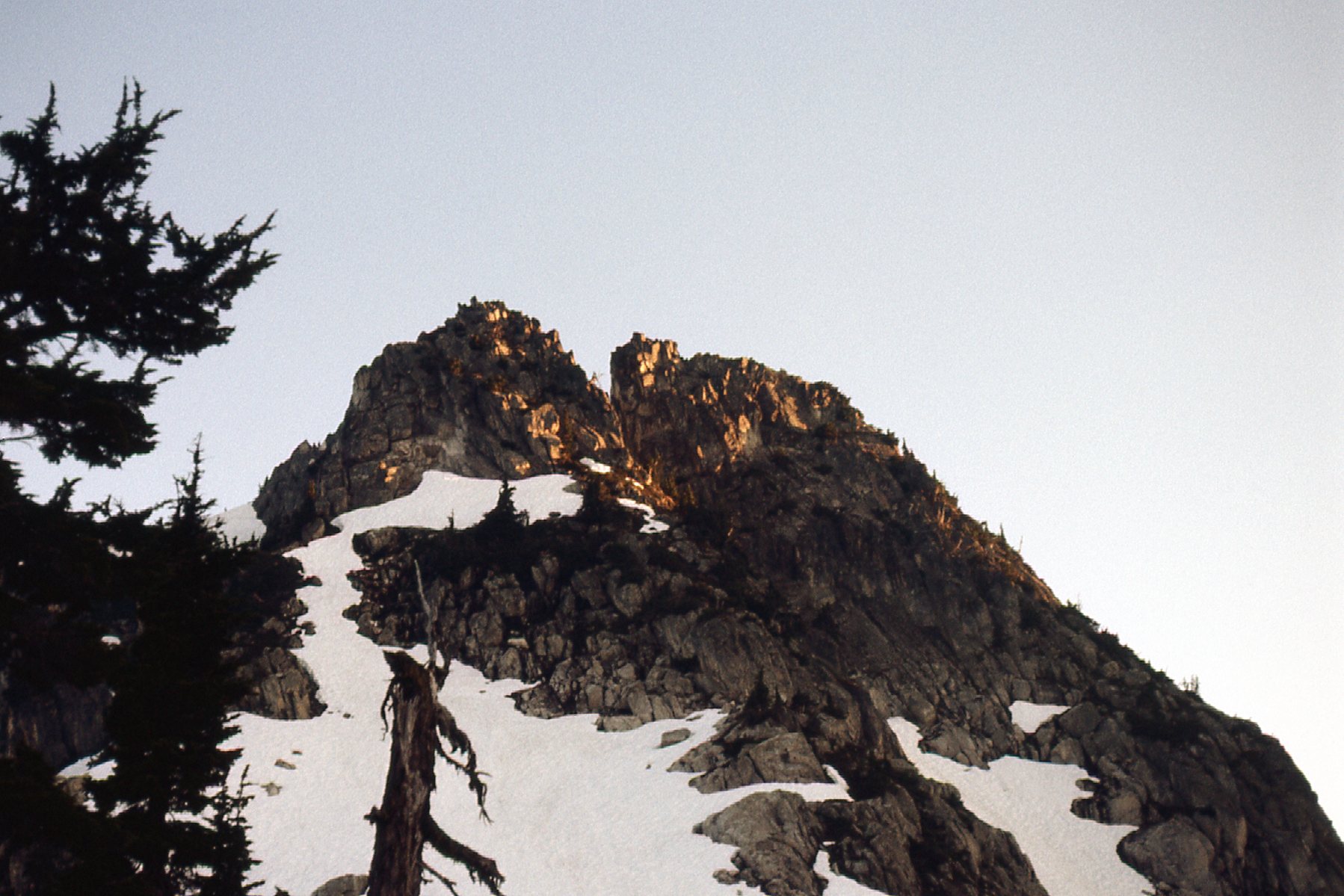
As I approached Peak 5700, I had this closer look at the summit.
I dropped back down to my pack and got organized to continue. My next goal was a peak that didn’t contour to 6,100′, but was definitely higher than the one I had just climbed. I traversed over to its northeast ridge, then climbed it with my full pack. It was hot, sweaty work but not too brushy; in fact, quite aesthetically pleasing with a few nice moves. By the time I reached the summit, it was 5:00 PM. I hung out on top for an hour. Based on my best guess, I think this one was somewhere between 6,080 and 6,090 feet in elevation. Another cairn and register, then I left. In the many years since I climbed this peak, I see that some maps now call it “Coon Peak” . Have a look at this next photo, as it shows some important stuff. On the right side is Peak 5700, the one shown in the 2 previous photos – I climbed it by its south ridge, on the opposite side of what you see here. The peak in the middle is Peak 6000, which I climbed by its north ridge. And the best of the 3, the one on the left which I also called Peak 6000. Although the 2 peaks both contoured at 6,000 feet, the one on the left (Coon Peak) was definitely higher. I climbed Coon Peak by the ridge you see on its left side, its northeast ridge.
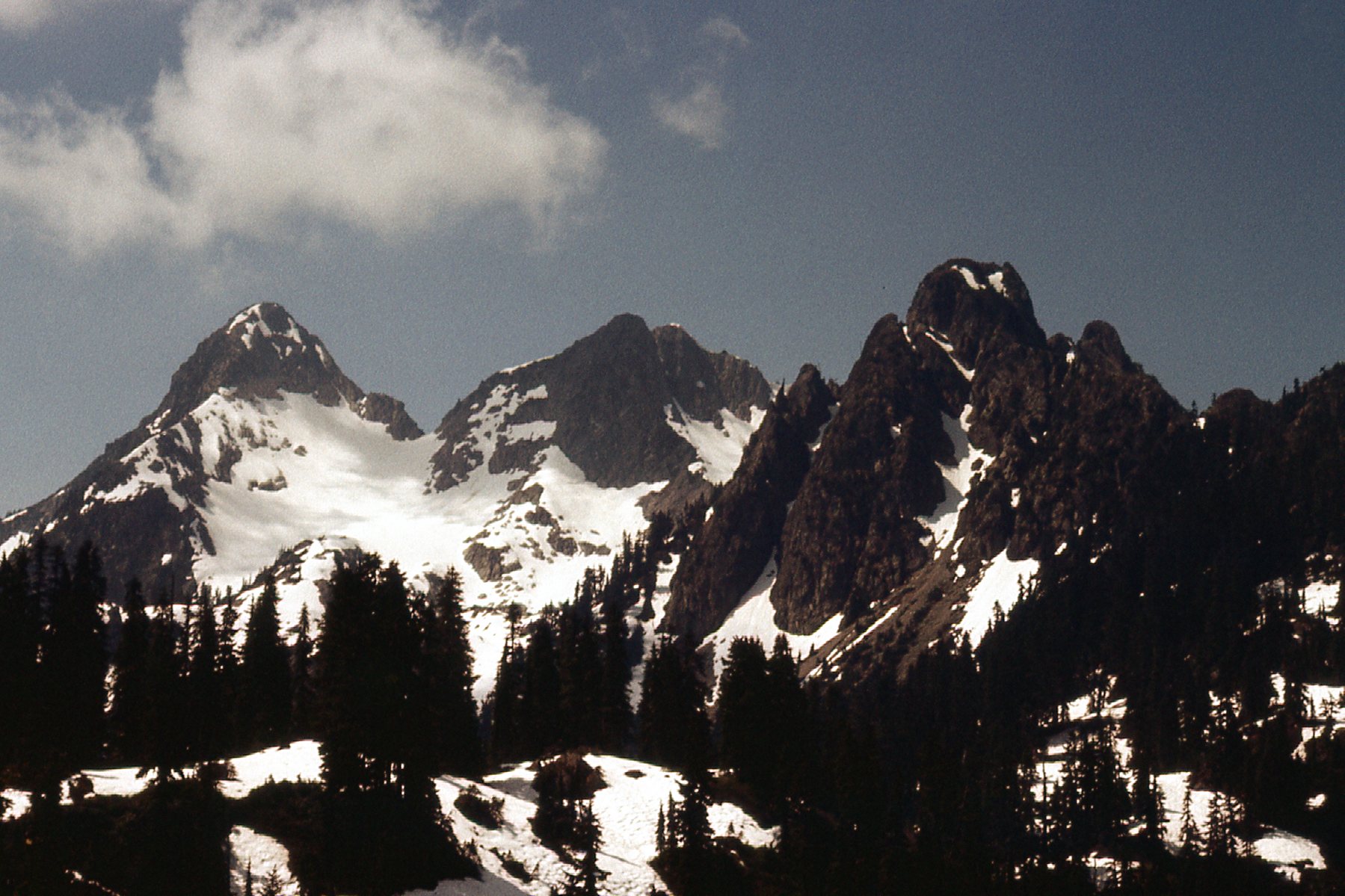
Three important peaks. On the far right, we see Peak 5700; in the middle is Peak 6000; on the far left is Peak 6000.
I started down the south ridge of Coon Peak, but hadn’t dropped a hundred feet when I came to a near-vertical step of some 80-odd feet. There was no way I could see to get down it, so I had to go back up to the top, then re-trace my steps down the northeast ridge. I finally reached a point where I could exit, and made my way over to a basin to the south. Water, at long last! It was disconcerting how little water I was finding while following the height-of-land.
Now I have some important news to add about Coon Peak. It has just recently had what may well be only its second ascent – on March 23 of 2026, Vancouver climber Steven Song made an arduous trek into the Coon Peak area with friends. He was the only one of his group that made the summit, as a challenging winter climb of its northeast ridge. It was the same ridge I used when I climbed it back in 1978. My climb was on rock, his was on snow and ice. Recent data now show the peak at 1,872 meters, or 6,142 feet. His elevation data is more accurate than mine – all I had in 1978 was the nearly-useless 100-foot contour maps. Steven is one of the leading new generation of peakbaggers – he has racked up a very impressive list of accomplishments for someone born as recently as 1993 – ascents of such peaks as Everest, Aconcagua, Fairweather, as well as all of the 11,000-ers in the Canadian Rockies, to name only a few of his amazing successes. His climb write-ups are filled with excellent photos, as is the case with his write-up of his recent climb of Coon Peak. I am attaching a link to his description of the Coon Peak climb, which I know you’ll enjoy.
By 7:30 PM, I found a good camp-site. I dropped my pack and blitzed up a ridge to a rocky needle, which turned out to be a false summit. So, I traversed an easy ridge to the south end. The true summit was a bit of a boulder problem, and I built a tiny cairn on top of Peak 5700′ at 8:00 PM. The day was getting on, so I didn’t stick around, instead re-tracing my steps to camp.
What a place! The nearby peaks towered above me. There were unbroken views to Mt. Breakenridge. In front of the mighty Robertson Peak was a line of peaks along the height-of-land along the west side of Tretheway Creek, and I had my eye on them.
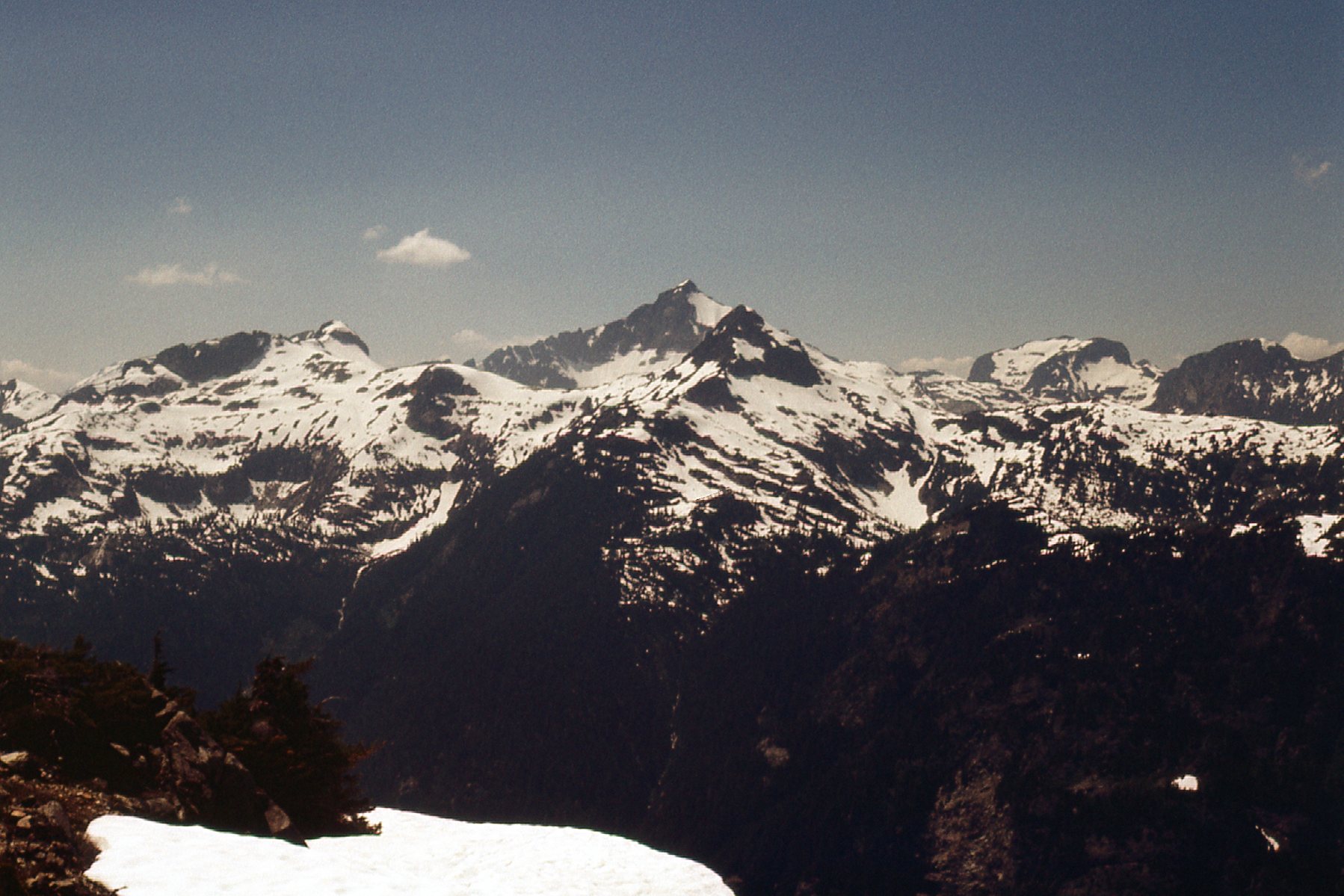
Looking west towards Robertson Peak
Mount Urquhart was in plain view. I could also see south to Grainger Peak and the big peaks on the Bremner-Trio divide.
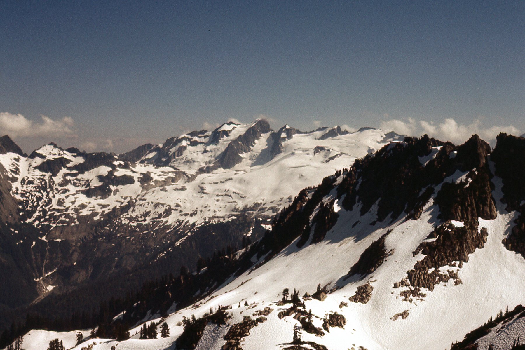
Looking east to the peaks on the Bremner-Trio divide
I felt I should be able to cover a lot of ground on the morrow – the terrain looked gentler and friendlier. One thing did concern me, though – some very suspicious clouds to the west. They looked ominous. The forecast had said the weather would be good, but I guess I’d have to wait and see. I was camped on a big flat rock, a windy open place. It was amazing how numerous the bugs were even up here, but for the moment the wind was keeping them away. It had been a good day – including the 300′ I had climbed last night, my total climbing for the day had been 7,500 vertical feet, with 8 miles covered. Here are a couple of photos I took that day. This first one shows the logged areas in the Stokke Creek drainage in the lower central part of the photo. On the skyline, we see the Breakenridge Icefield and Mt. Breakenridge on the far right. In the middle of the photo stands Traverse Peak, a bit higher than Breakenridge, first climbed by me and Brian Rundle.
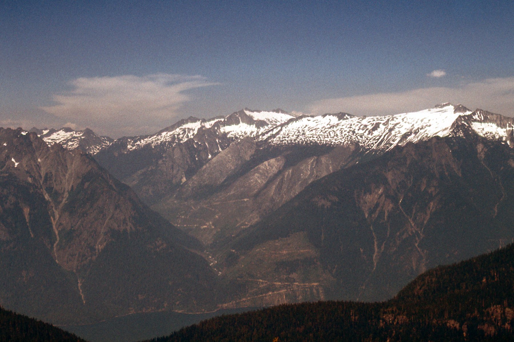
Looking east to the Breakenridge area
This next shot shows the continuation of peaks farther north in the Lillooet Range.
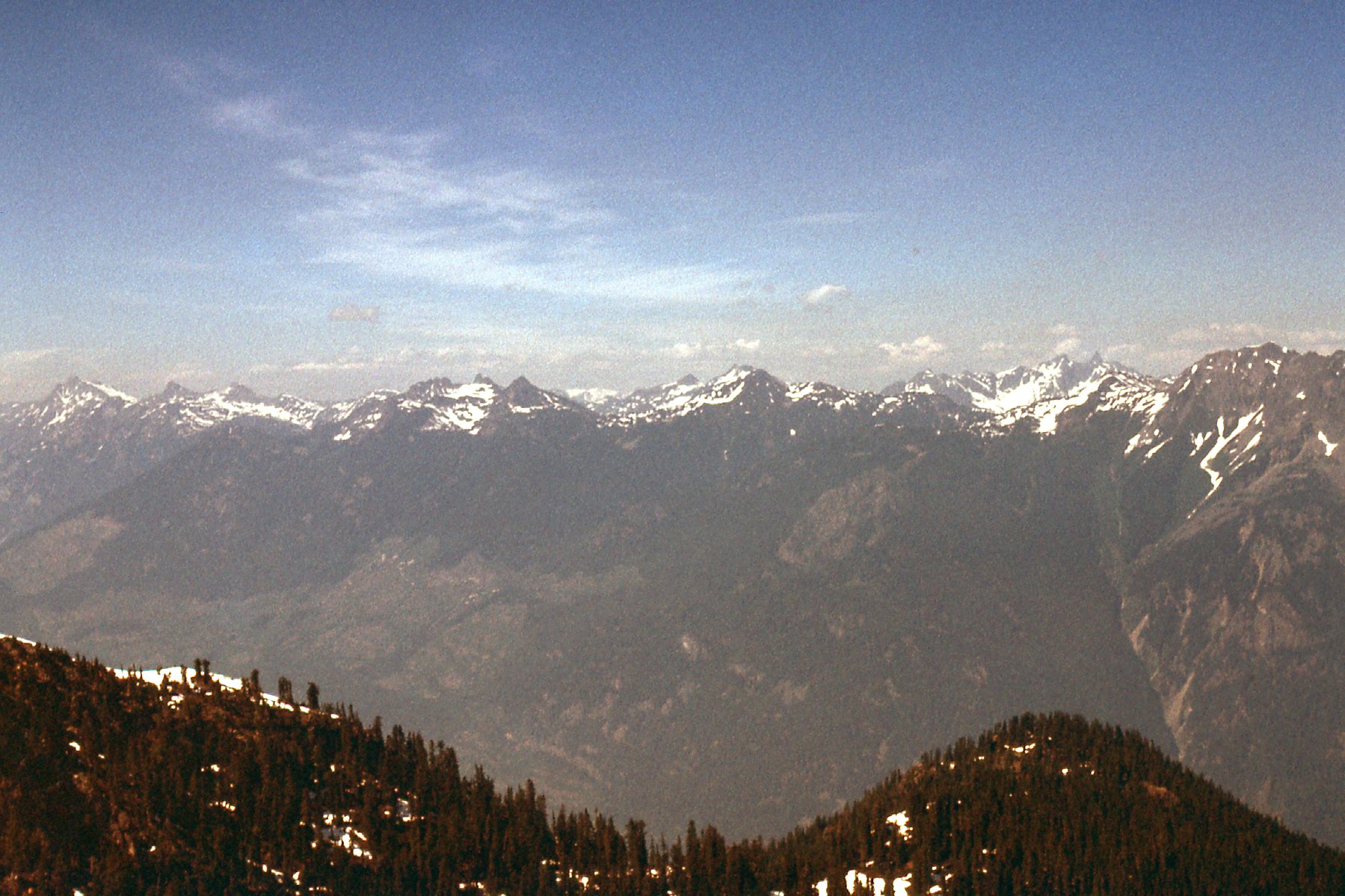
Farther north then the previous photo.
Day 3, Saturday
What a drag! It had clouded over during the night, and the visibility at dawn was changing rapidly. One moment, things would open up and I could see a long way; moments later, clouds would close in and I couldn’t see squat. After waiting a good long while, I decided to continue, and left my campsite forever at 8:45 AM.
I contoured to the south around Peak 5700, then promptly got socked in. Finally, I made it to a col at 4,900′. Water was becoming more of a problem than I had anticipated, and I badly needed to replenish. There was water running, I could plainly hear it, but it turned out to be hundreds of feet below, at a lake. What I ended up doing was to hold my bottle under drips from snow banks, and that helped a lot. I wasn’t carrying a stove, having elected to travel light, but there was snow in abundance. It was all of noon by the time I made it to the top of the next one, another Peak 5700. Once I built a cairn and left a register, it socked in again. I waited for another break in the mist, then carried on and made it to the top of Peak 5800 by 1:40 PM. There, I built another cairn.
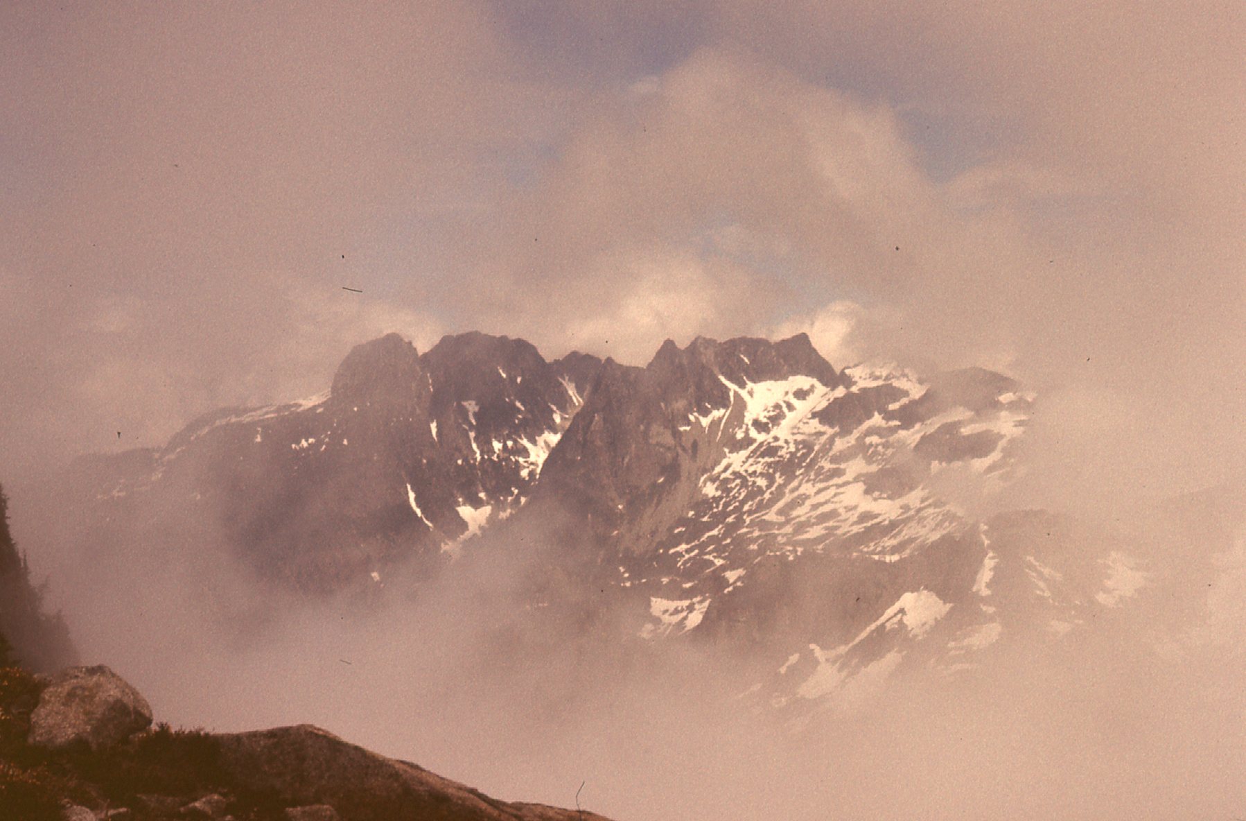
In deteriorating conditions, a view towards peaks on the Bremner-Trio divide.
The old Bremner Creek logged areas were clearly visible, but the roads were too hard to see, no doubt quite overgrown. By 2:40 PM, I had made it over to the north end of Peak 5900, at its base. After relaxing for a while, I headed on up and made it to the top by 4:05 PM – left a cairn there too. I see that in later years, this peak finally got a name, and it is now called Bremner Peak. Visibility was changing by the minute, but, from my vantage point on top of this peak, it looked like I was in for some trouble. The next peak along the ridge was another Peak 5900, farther south, but it was plain to see I couldn’t get there directly from here. In order to get reach it, I’d have to drop down a thousand feet on the east side. Or, try to go around the west side, but it was now so socked in that I couldn’t see anything, and that meant that making any good decision was impossible. So, I retreated north to my last resting place at 5,600′ – I found it, even though visibility had dropped to under a hundred feet.
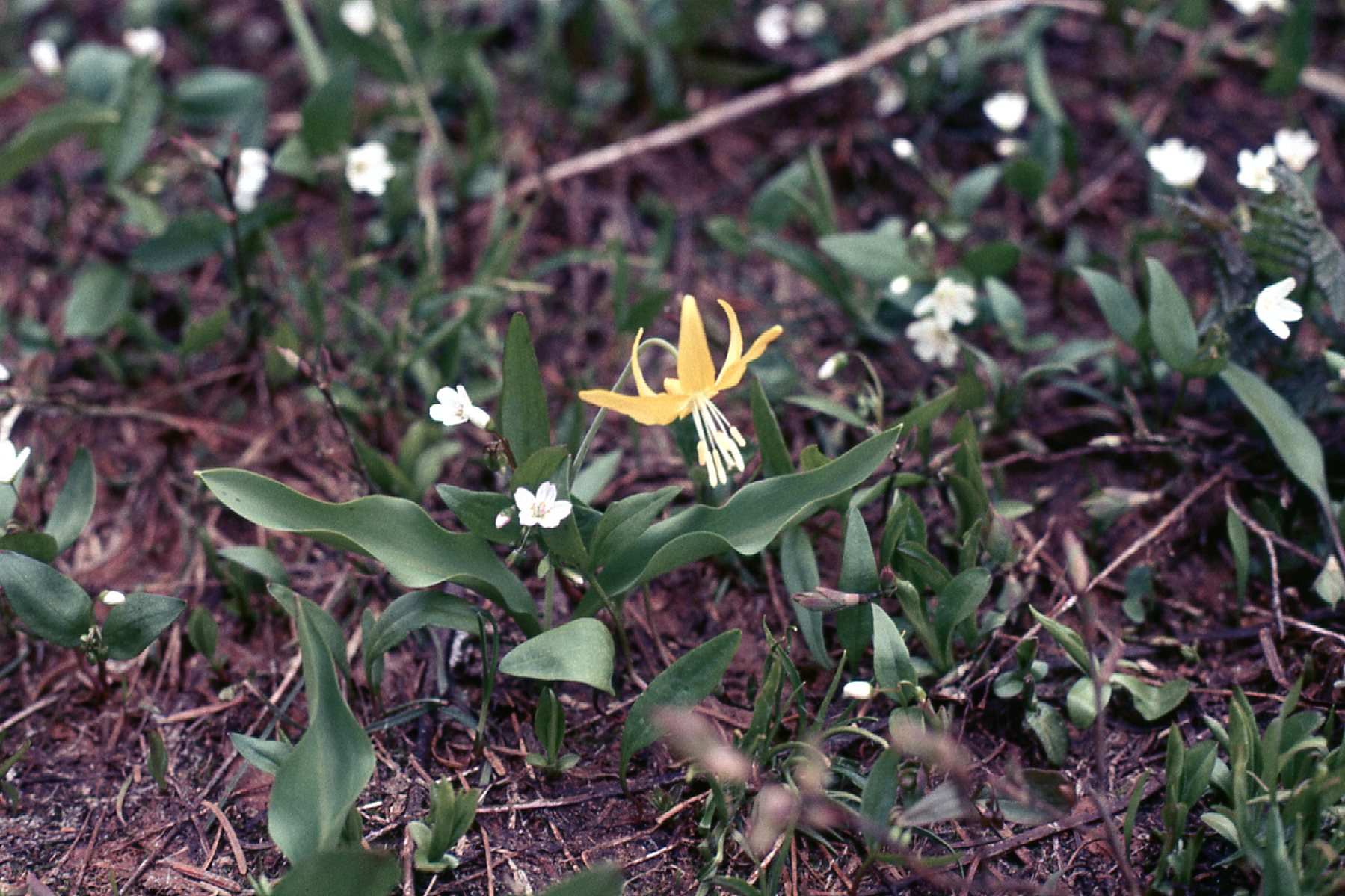
A flower seen along the way.
I needed to make a decision, but, given the conditions, it’d have to wait until morning. If I were to continue my journey along the ridge, I’d have to reach the 5900′-5900′ col by either of the ways described above. If I didn’t do that, it’d be time to go home, and even that offered some choices. If I were feeling adventuresome, I could drop down into the Bremner Creek drainage and try to head back out the 6 miles or so to Harrison Lake by those very old roads. That’d be an adventure, and could be a miserable one if the roads were badly overgrown. A more sure thing would be to drop down to Tretheway Creek, where I knew for certain that the road could be easily followed and there’d be no surprises (or so I thought). Tretheway would be a bit shorter, certainly quicker, and, worst-case scenario, I could always walk out to the Spring Creek logging camp to try and arrange some kind of a ride from there.
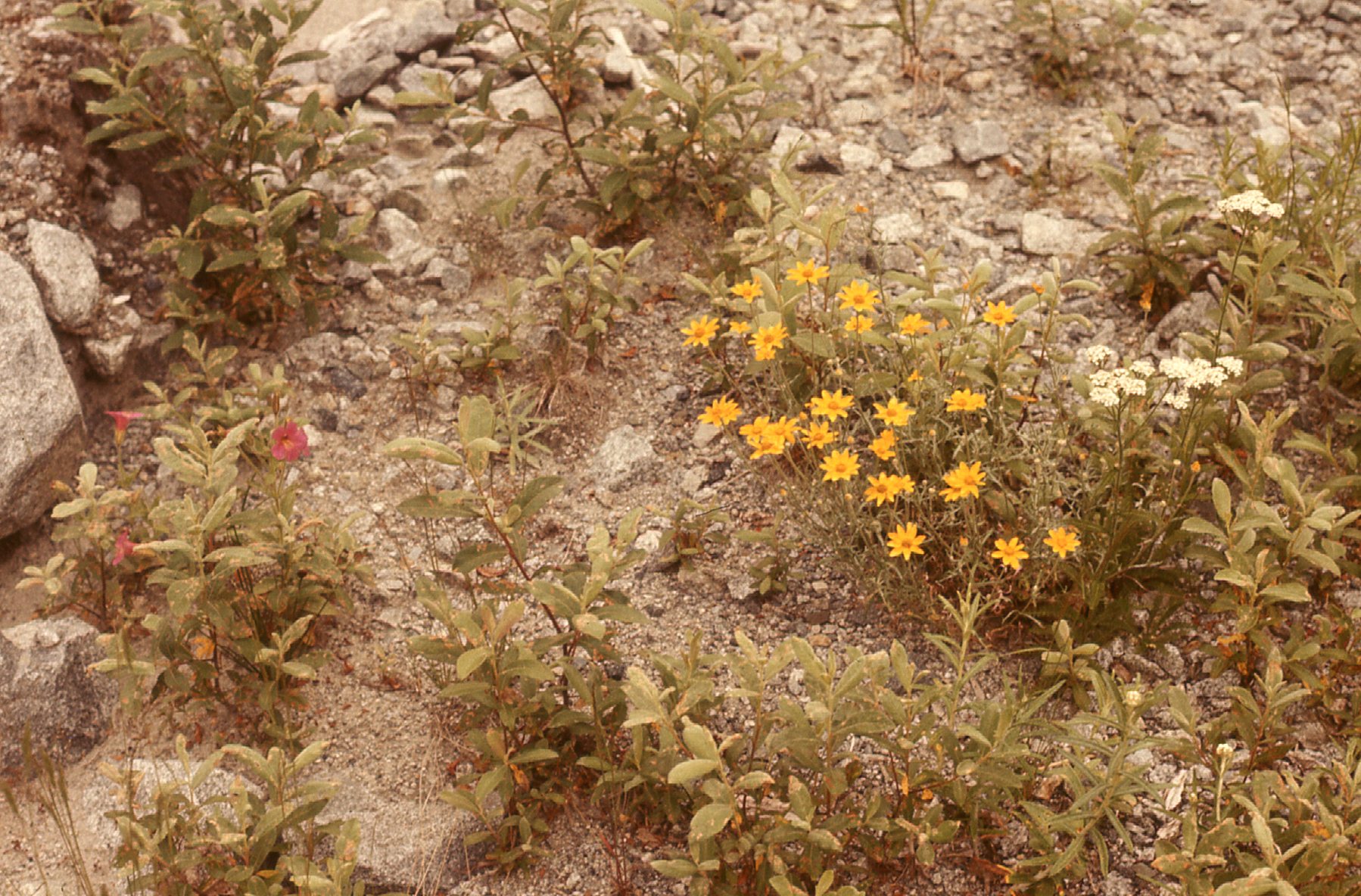
A bit of beauty.
As the evening progressed, I saw patches of blue sky from time to time, but not enough to really lift my spirits. I was really hoping it’d clear up during the night. At least my campsite was a good one – very flat, fairly sheltered and good views (weather permitting). Excellent granite was all around, which reminded me of the summit of Mt. Robie Reid. Endless bouldering possibilities. And bees – they were everywhere, probably relying on the super-abundant heather. It was cold, so by 7:45 PM, I had already crawled into my sleeping bag. It was gonna be a long night.
Day 4, Sunday
During the night, it rained. My down sleeping bag got very wet – I guess I should have done a better job of sealing the seams on that bivi bag. I woke up very early, and was moving by 6:00 AM. My sodden sleeping bag killed any momentum I had left, and I decided to bail. Tretheway Creek it was, and down I went. All the way to 4,200′ went well, nearly all on snow, but below that, there was more and more brush and lots of cliffs to avoid. No major problems, though. At about 2,500′ I hit a logged clearing, where I crossed a creek and did some very serious bushwhacking through old slash. I was making progress, though, and feeling pretty good about things, when all hell broke loose.
There I was, with a full pack complete with ice axe mounted on the outside, when I kicked my way right into a hornet’s nest. The slash was thick and I couldn’t see much at all, so that’s why I didn’t see it coming. In a second or two, hornets were everywhere, and they were really pissed off!! It was hard to flee through the overgrown logging trash, and once my ice axe got hung up on something, but I ran like hell. Eventually they stopped chasing me, but not before I’d been stung several times about the head and neck. Man, did that hurt!
I found an old bridge across Tretheway Creek, which allowed me to gain the main road which ran down the valley. My gear was completely soaked from the bushwhack, but hey, at least I was still moving and was on familiar ground. However, one small event happened on the march out. After having covered maybe a mile, I came around a bend in the road and was confronted by two hunters. They hadn’t seen me coming and immediately raised their rifles at me, perhaps thinking I was some kind of game. As you might imagine, I was in no mood to put up with that kind of crap. I cannot repeat here, Fair Readers, my exact words to them as I cussed them out for being so trigger-happy while reaching for my ice axe. Getting right up in their faces, I gave them a tongue-lashing and warned them to be more careful. They seemed embarrassed and apologized. It probably looked funny, this 140-pound guy covered in dirt and stings, laying into them.
It was all over but the shouting, and almost 9 miles later, I was down at the main road by Harrison Lake. I started walking south, and, within half an hour, three guys came by in a pickup. They drove me all the way out and dropped me off right at my home by 3:00 PM. Even though my trip had been cut short by bad weather, I had done what I set out to do – see some beautiful country and nab some new peaks, all of which appeared unclimbed. In spite of a few setbacks, I was already excitedly planning a return visit, to the enticing peaks on the other side of Tretheway Creek. They looked higher and snowier – who knows what I’d find there.