
How isolated is a mountain, or a mountain range – I find it an interesting concept. Perhaps one measure is this – how many people go there? How many mountains in that range are unclimbed, and why? It seems to me that, if a group of mountains just sits there, year after year, with no peakbaggers going in, there must be some pretty strong reasons. Arizona is different than most places where you can climb. I mean, think about it – how many other places can you head into mountains where you might find any of the following: desperate people sneaking into the country; lookouts employed by foreign drug cartels; armed men smuggling loads of drugs; poisonous snakes and insects; no water; heat that can kill you. Isn’t it great? Maybe I’ve just answered my own question. Welcome to Arizona!
One range that seems to earn the title of “isolated” would have to be the Agua Dulce Mountains. They sit next to the Mexican border, about a hundred miles east of California. Twenty-one peaks populate the range. When I first visited them back in 1988 (mentioned in the piece “The Lechuguilla Desert” published earlier on this site), it was to climb the range high point, Quitovaguita Benchmark, as part of a large project. That done, I honestly thought I’d never return.
Years passed. I drove past the range many times, always en route to someplace else, but I couldn’t help but gaze south into the heart of the range and wonder what it’d be like to spend time there. I started studying the maps. Hmmm, what’d be the best way to approach this peak or that one? A few of them were scattered along the Camino del Diablo in the northern part of the range – those, I wasn’t worried about – I could get them any time. So, my wonderment increased about the others.
Just before Christmas of 2009, Andy Bates and I went in and climbed Papago Mountain, the big one just south of the Camino del Diablo, right after we had climbed Montezuma Head. That made two.
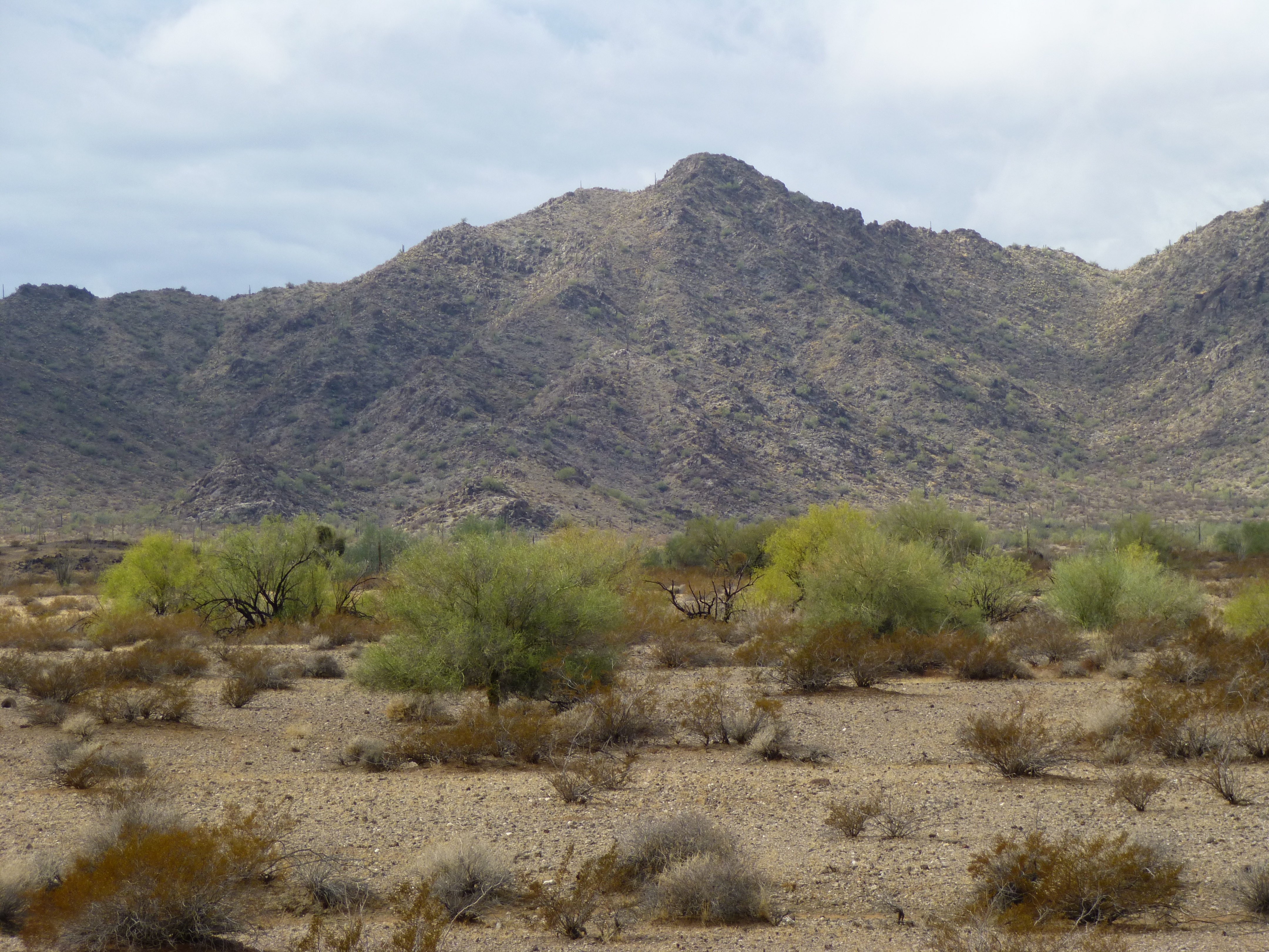
Papago Mountain from the west
A turning point came in October of 2013. I pitched my idea to Jake. “There could be Bad Guys, there’s no water, it’s gonna be hot, with no cell phone coverage and nobody would be happy to see us in there. But, we could climb a bunch of peaks that nobody’s done before.” “Count me in” was his reply, and the rest is history. We spent six glorious days in the southern part of the Agua Dulce, picking off 13 peaks, 10 of which turned out to have been unclimbed. That trip was written up on this website as a two-part story called “Death in the Agua Dulce Mountains”. So now the tally was up to fifteen.
Henry Benchmark was kind of a loner – it sat way out by itself on the east end of the range, three miles from la frontera. I blew my first chance to climb it way back in 2001. A bunch of us had been partying hard with José Cuervo at the Organ Pipe campground. The next morning, all bleary-eyed, Mark, Rich and I had climbed the high points of the Cipriano Hills and the Quitobaquito Hills. That done, Mark and Rich decided to walk across the desert to climb Henry Benchmark. Feeling lazy, I passed, and I always regretted it.
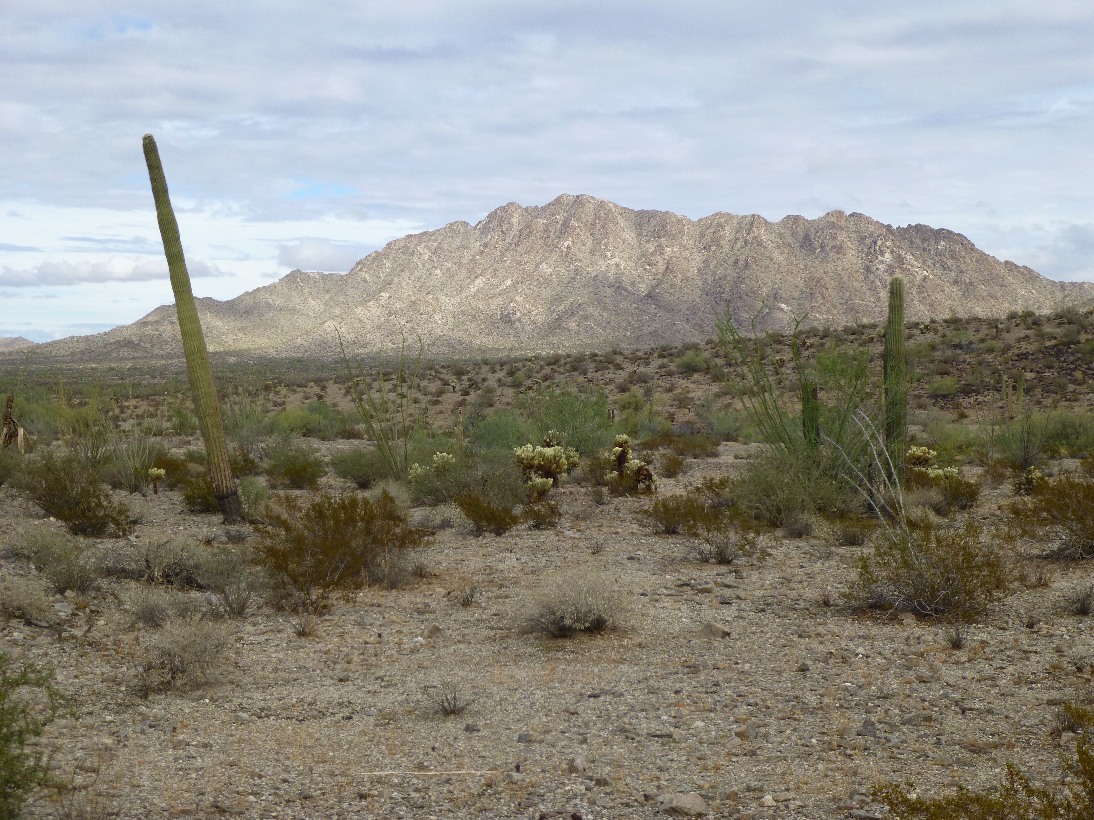
It wasn’t until October of 2013 that I decided to finally go there, once and for all. I spoke to the good folks at the Border Patrol and said I wanted to head in, to go south on what was called the “boundary road”. I showed them on my map exactly where I’d planned to go, and the immediate response was that it was a dangerous area, thick with smugglers, and that I would be well advised not to go. So, I immediately headed down there and camped for the night less than a mile from Henry.
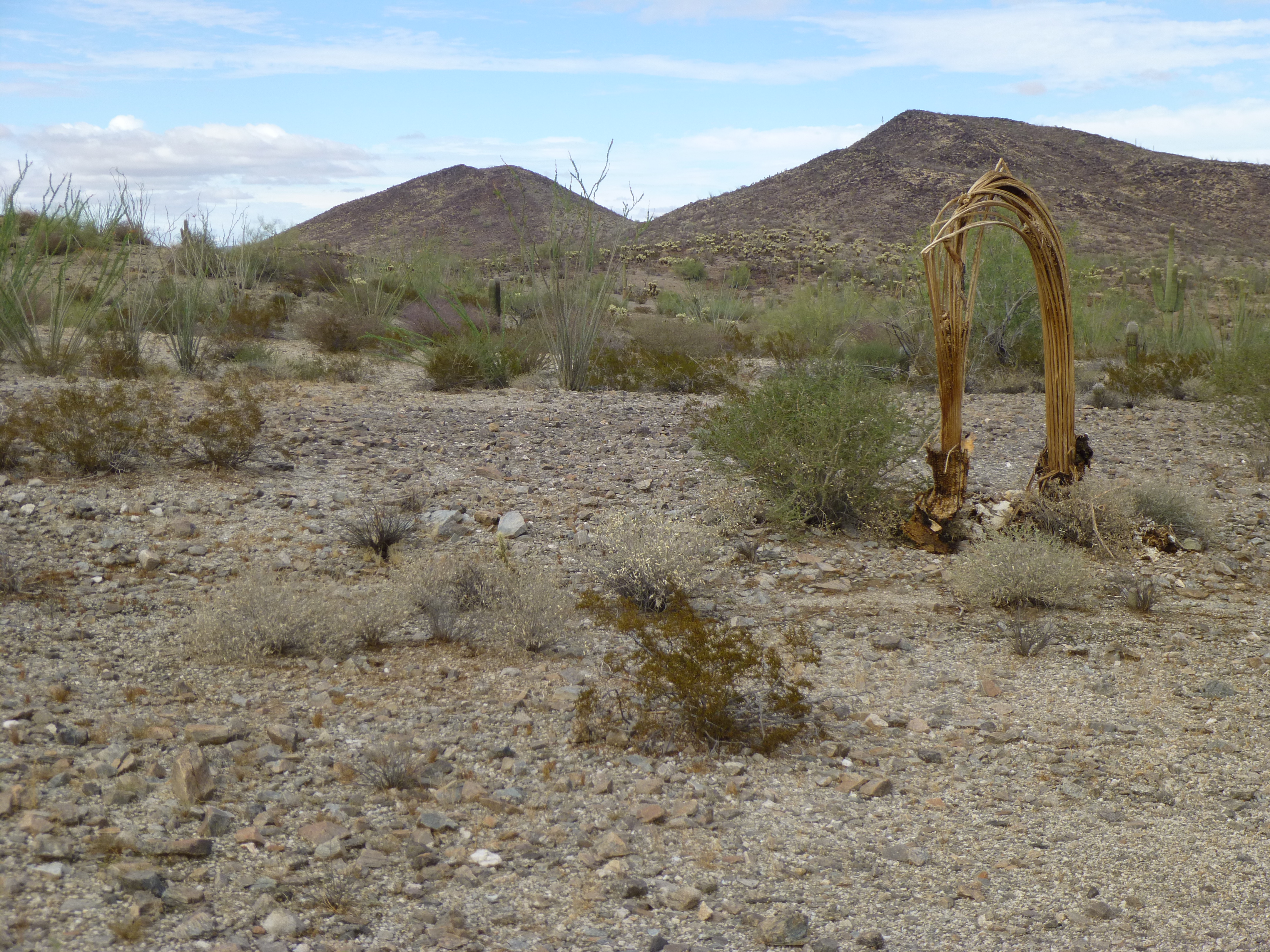
Looking southwest to Henry at sunrise
Some BP agents in two vehicles came by where I was hidden in a wash and checked up on me. At daybreak, I hurried up to the summit. There, I discovered that those rat-bastard smugglers had not only destroyed the register, they’d even removed the benchmark – somehow they’d extricated it from the rock itself!! The summit was littered with their leavings and I beat a hasty retreat. Sixteen.
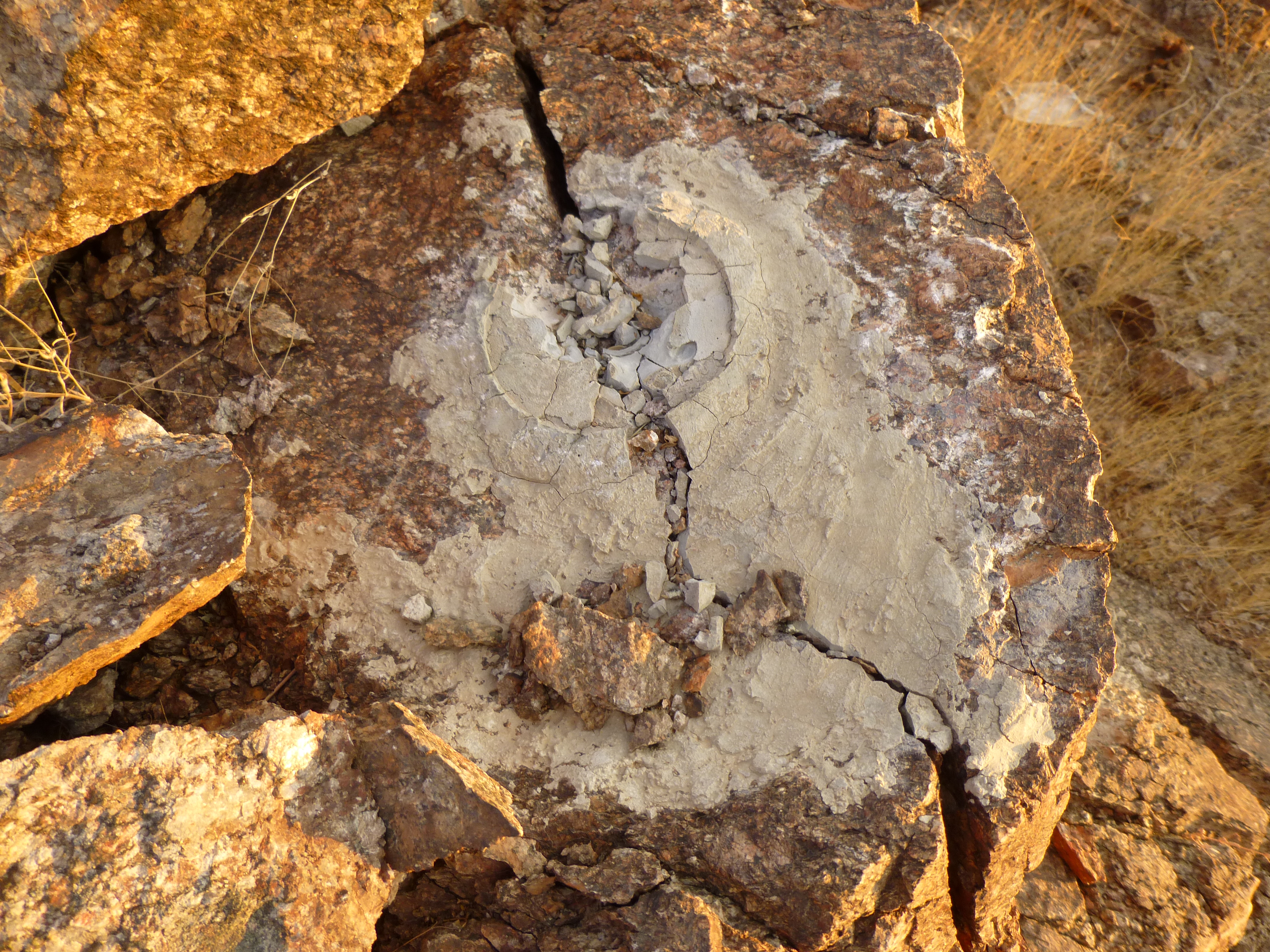
The missing benchmark
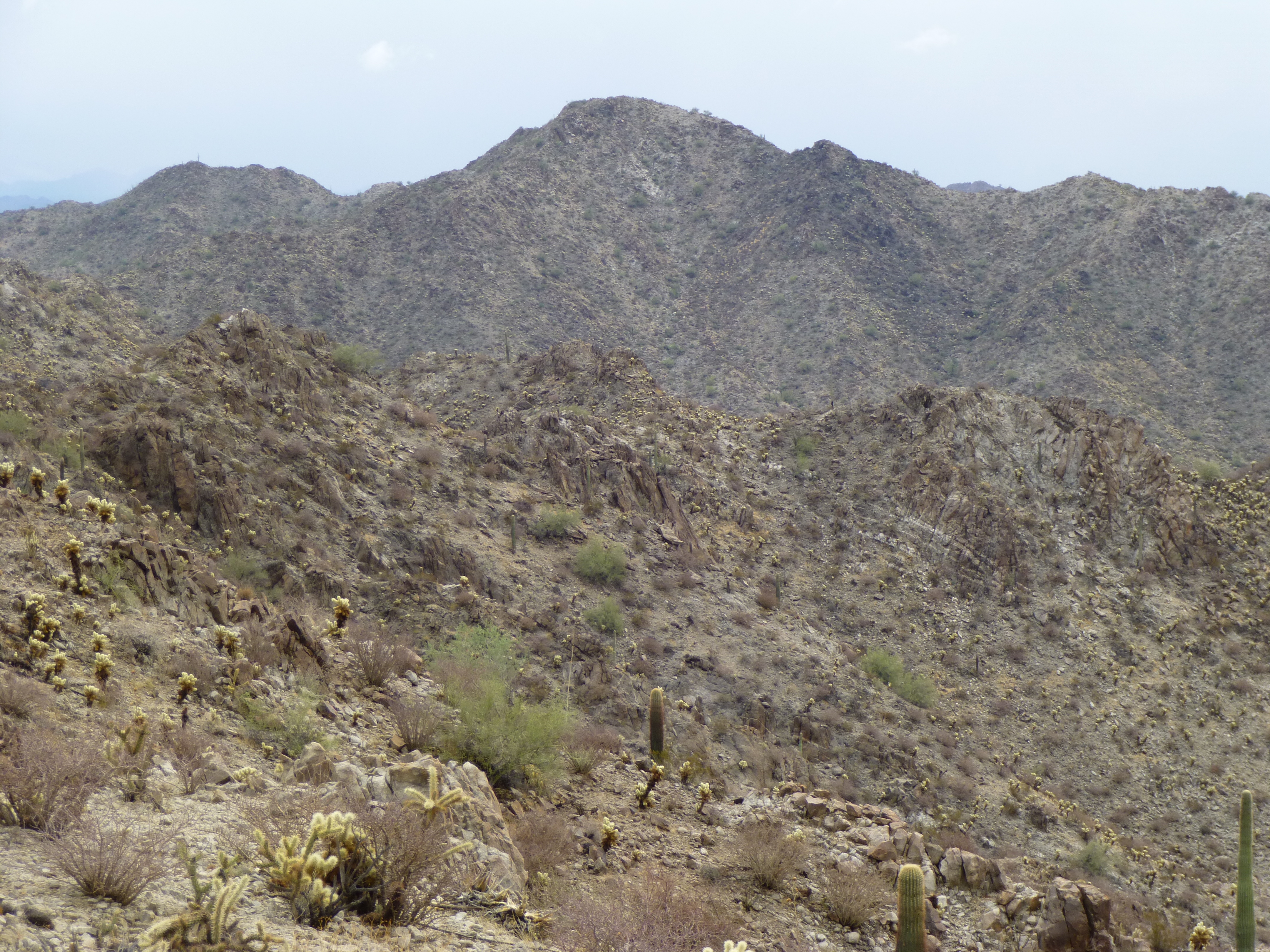
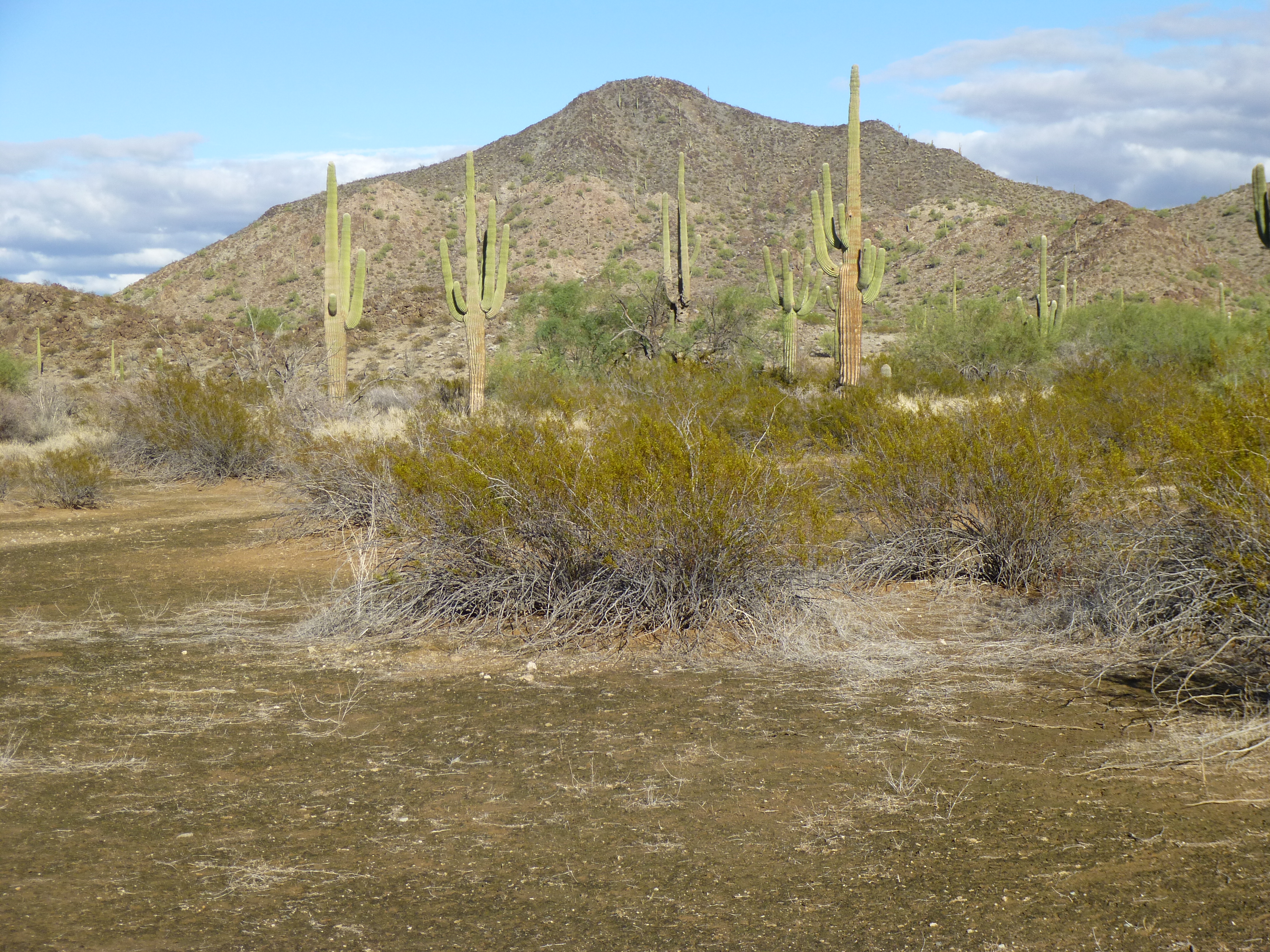
Five to go. Fast forward one year, to October of 2014. The end was in sight. I’d gone out to the Cabeza Prieta for five days of climbing, and it was my goal to finish off the range once and for all. I spent the 7th doing a 14-mile march across the desert to climb in the Antelope Hills, and, that done, I picked off Peak 1570 just north of the Camino. Seventeen.
Peak 1570 from the south
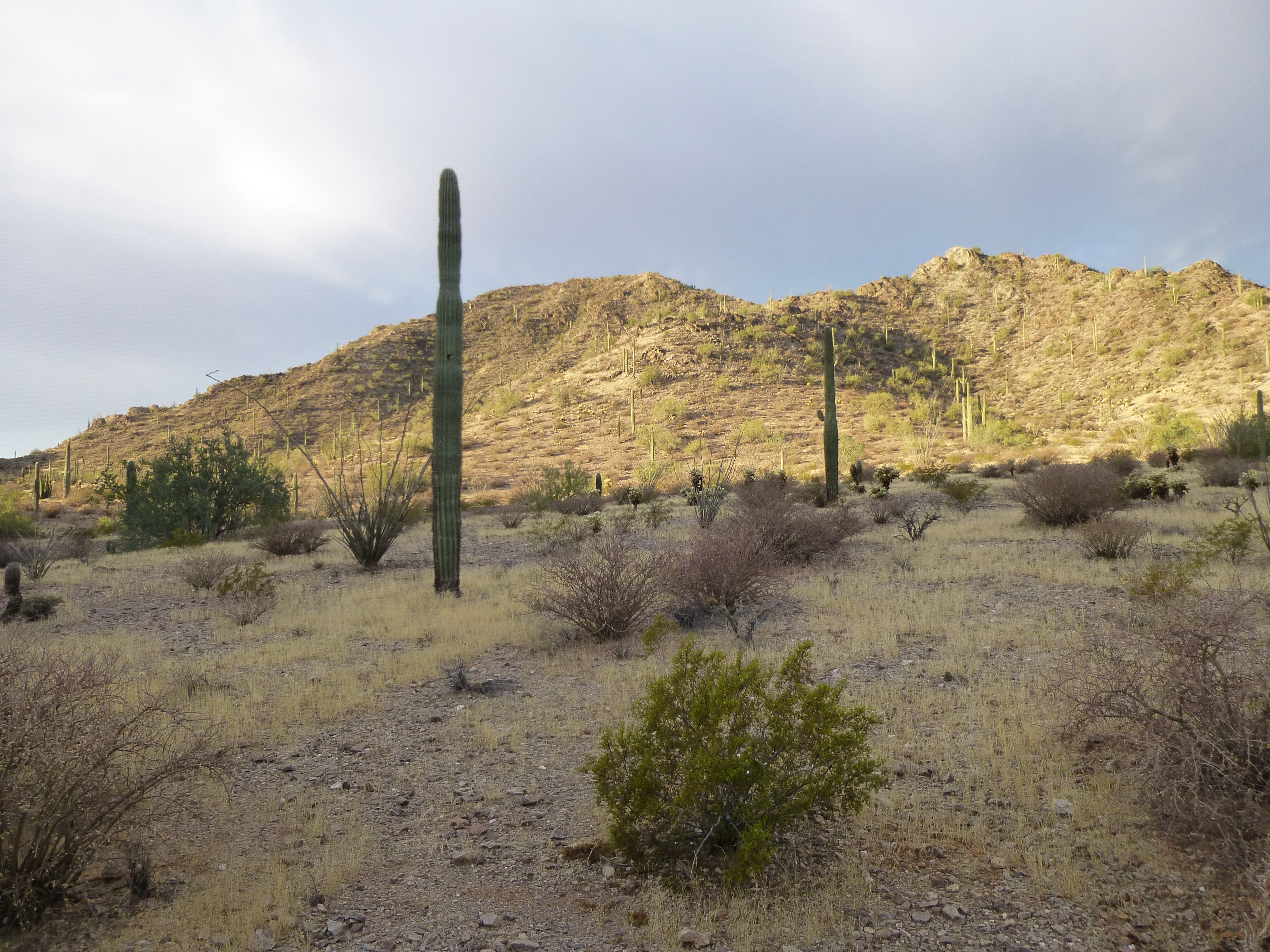
That night, remnants of Hurricane Simon hit the area hard. So much rain fell that I couldn’t leave my campsite until ten in the morning. Once I did, my goal was to climb two more peaks to the southwest of the Davidson Hills.
Leaving Papago Well under clearing skies, I walked across the desert to the base of Peak 1546, just over a mile from camp.
Looking west to Peak 1546
It seemed hard to imagine that no one had been to the top, yet when I walked on to the summit there was no sign of a previous visit, nothing at all. I left a cairn and register, then assessed the situation. The weather seemed to be holding, clearing more as the hours passed, so that made me feel better about my next decision. There were three possible ways I could get to my next peak, and they were all quite different from one another. The first one was to drop back down the northeast ridge I had ascended, then swing out on to the desert floor and head southeast over to the next peak and back west to the summit – this was the longest way. The second one was to stay high and follow the ridge that connected the two, a very direct route and the shortest. However, it involved crossing over eight intervening bumps and some messy ground, and I felt too lazy to do that. The third had piqued my interest while studying the maps at home – it involved dropping off the south side of the peak into an unknown valley, following it downstream and then hanging a hard left and going east up another drainage to the next peak. This route seemed a happy medium and something novel, so I chose it.
Southeast to Peak 1518
After eyeballing the terrain below, I dropped downslope and lost the necessary 600 vertical feet. This was a tranquil spot – my little valley spilled out on to the desert floor and there was Mexico, a mere three miles away. I turned a corner and headed up the other wash. After all the rain we’d had overnight, the humidity was intense – I was soaked in sweat as I labored up the north slope of Peak 1518. There were three bumps that made up the summit, and as I crossed the first two to get to the high point, I noticed a lot of trash.
The summit ridge of Peak 1518
It was everywhere, and obviously a drug- smuggling lookout – completely the opposite of my first peak. With a time of an hour and a half summit-to-summit, this had been the best choice, though.
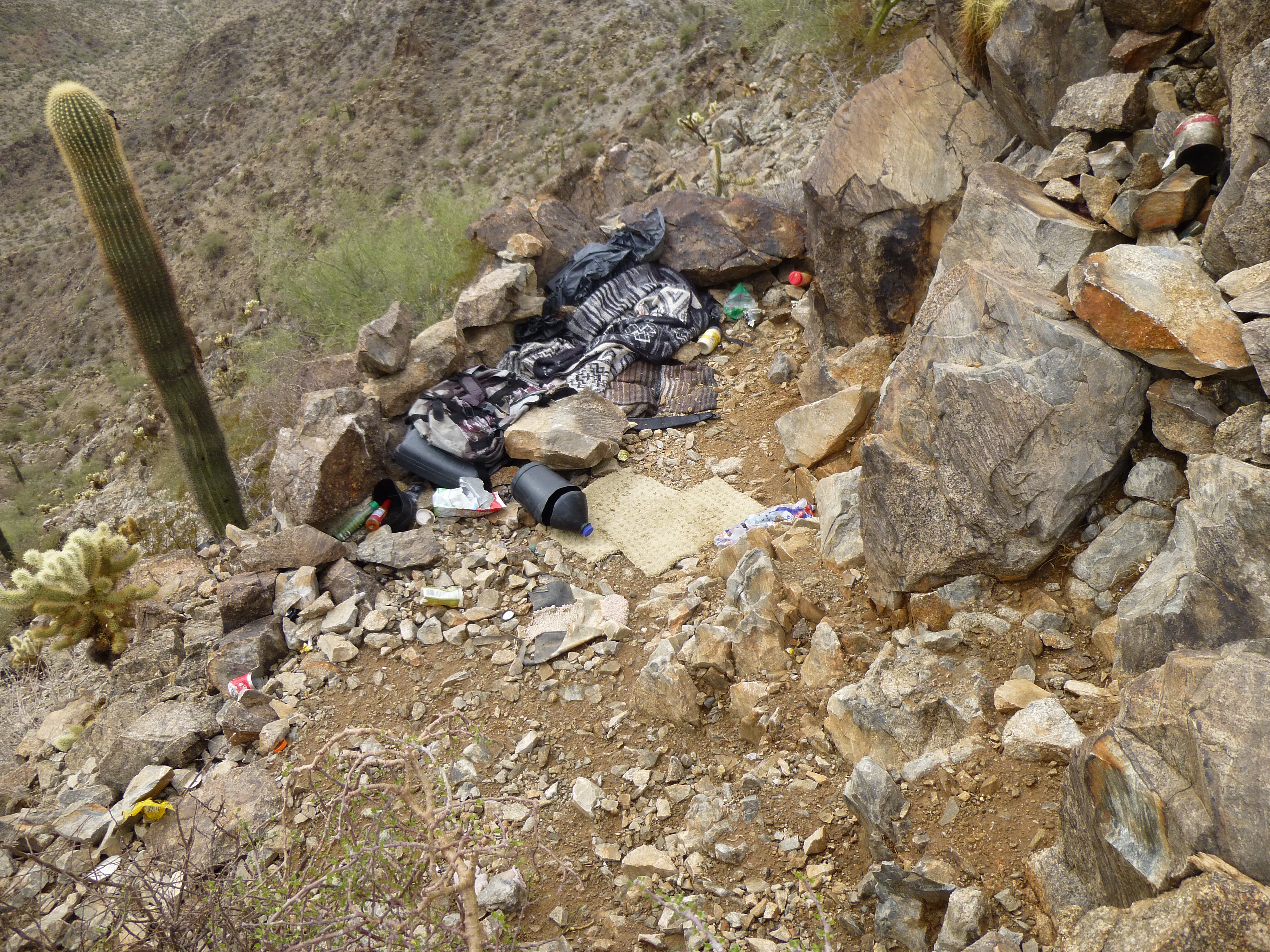
Trash left by lookouts on Peak 1518
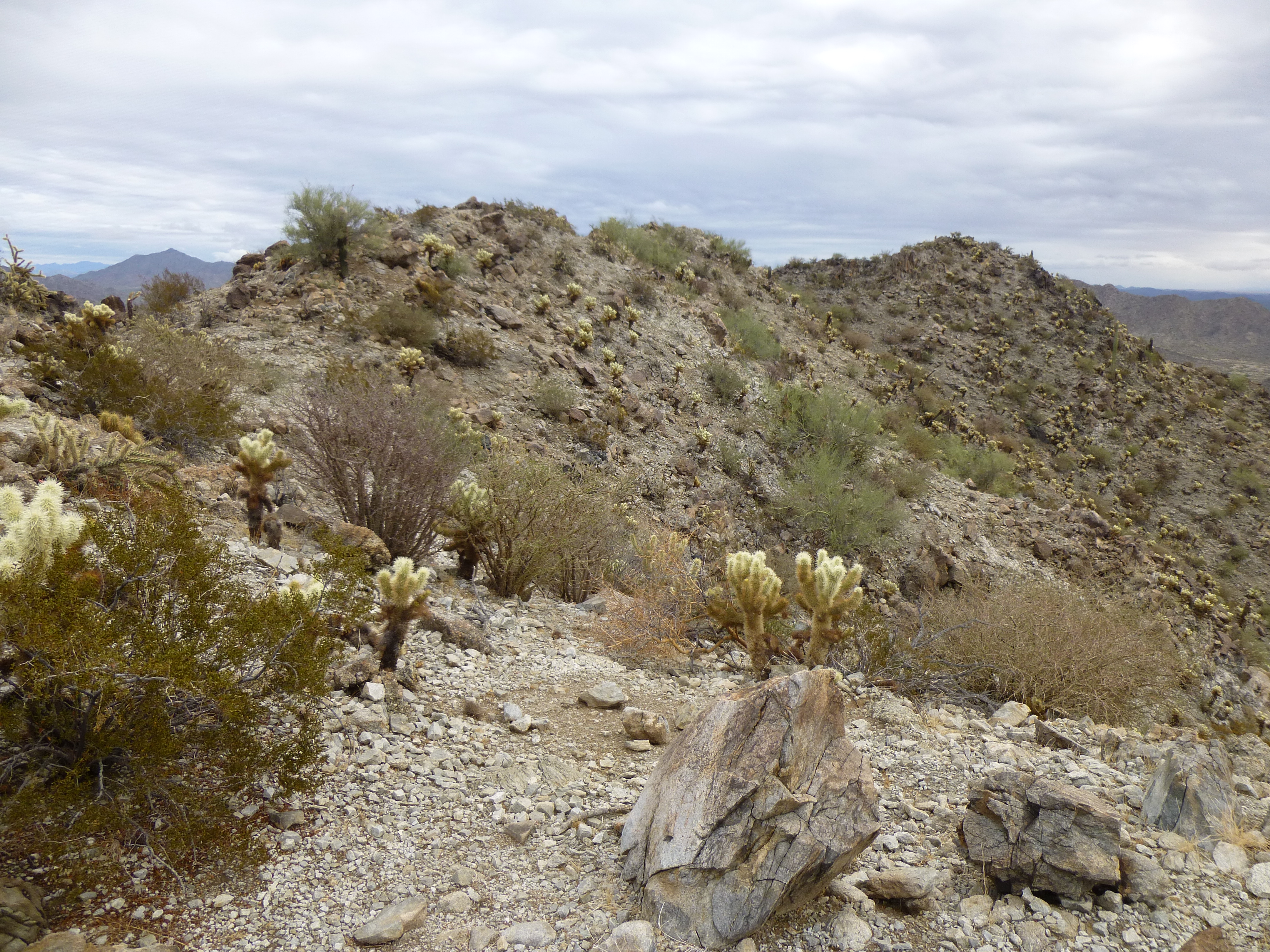
I hid a small register on the summit, one that I don’t think even the smugglers would find – but future climbers will. This place gave me the creeps, so I didn’t stick around. Dropping 500′ off the east side, I crossed a couple of low ridges and ended up on the west side of the Davidson Hills. It was an easy walk north for three miles through easy country back to camp. Four hours well-spent. Eighteen and nineteen.
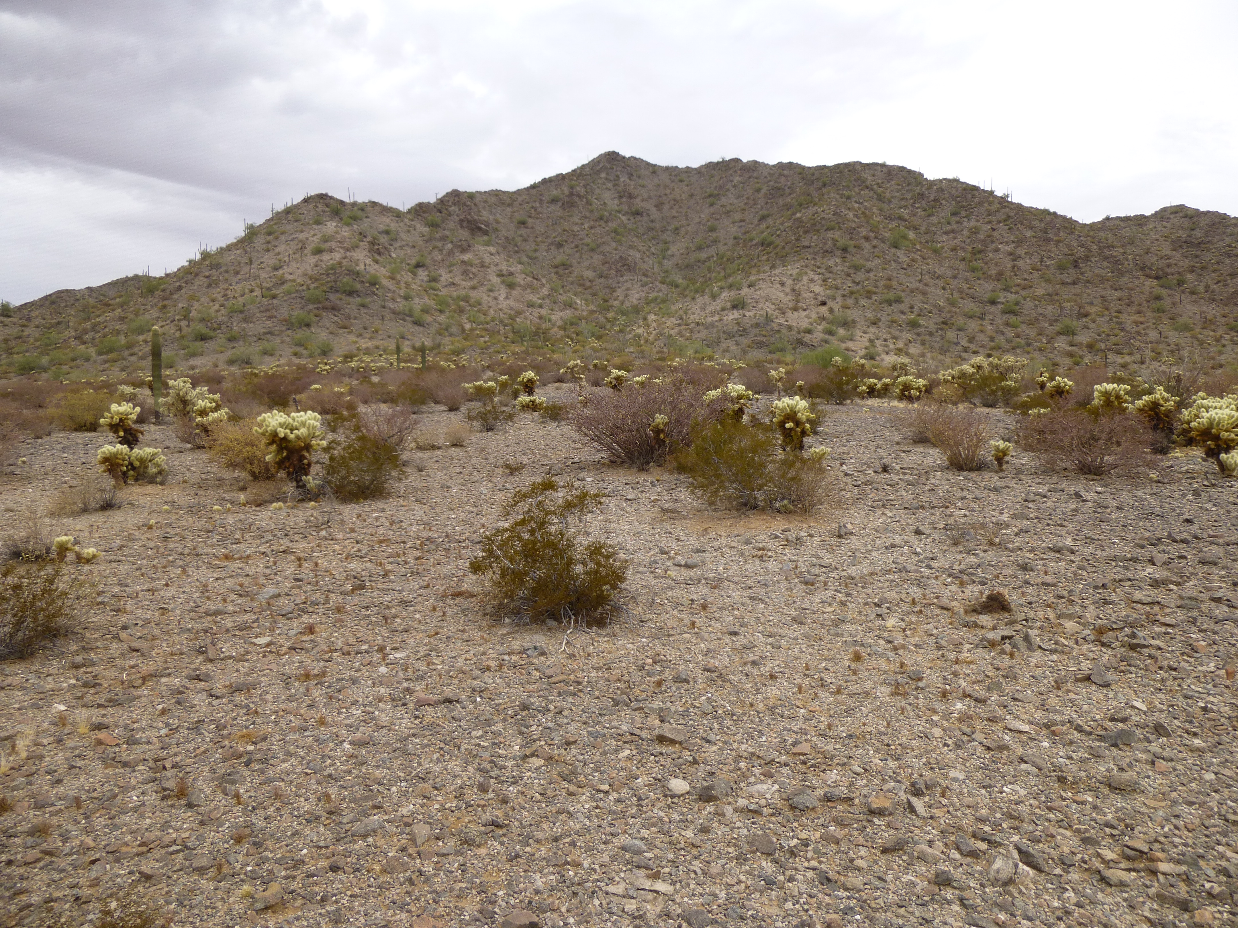
The west side of the Davidson Hills
The weather was getting nicer every minute, and it was still pretty early, so I hopped in my truck and drove east on the Camino. Lordy Mama, was that road flooded. Some spots gave me pause. When I reached Chinaman Flat, I parked. What a beaut of an afternoon.
Looking east to Peak 1540
It was a short walk over to Peak 1540, and a straightforward climb up the 500′ of its west side. A couple of hundred feet above the desert floor, I came upon something curious – a sea shell. There it lay on the surface in plain view. The nearest ocean was 50 miles away, so how did it get there? Had some traveler dropped it? It appeared in good condition. I doubt it had been there a long time, as the desert extremes surely would have eroded it to nothing. The summit register had been destroyed – I didn’t bother leaving another, as it would surely meet the same fate. Twenty.
Two miles to the northeast, something caught my eye – a distinct ribbon of water on the desert floor. It could only be one thing – the San Cristobal Wash. Bone-dry more than 99% of the time, it now plainly showed the effect of Hurricane Simon’s recent moisture. This photo shows a flooded swath well over 1,000 feet wide. Astonishing, to see something like this in one of the world’s driest places.
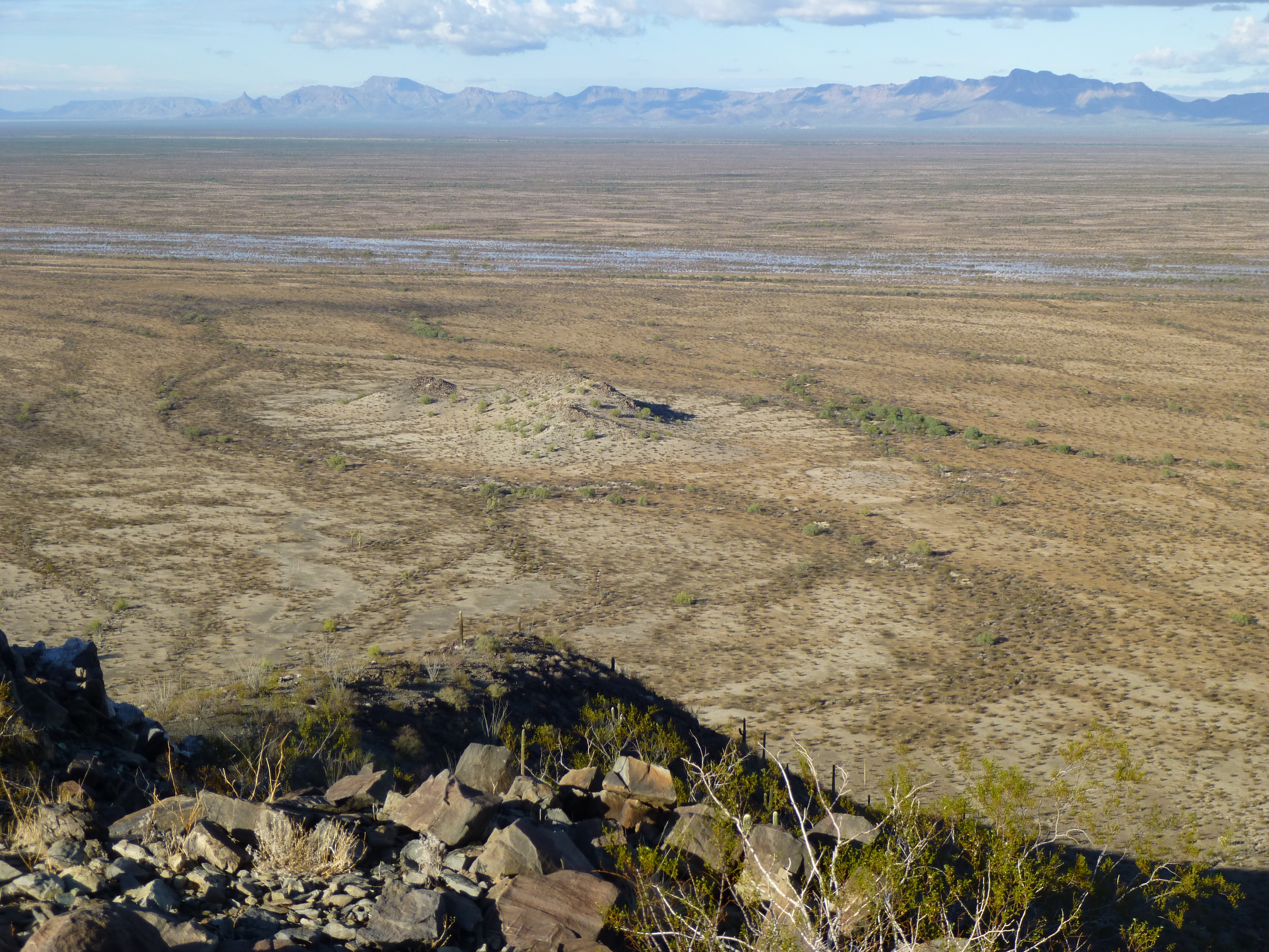
Looking northeast to the very flooded San Cristobal Wash
Back at camp that night, I relaxed after a good day’s climbing. It was still humid, but at least the clouds were gone. I slept well, and arose at 4:30 A.M. as is my wont. Getting an early start has always been my policy – it’s just good insurance, and leaves extra time in the day to deal with anything unforeseen. By the time I had driven east once again on the Camino and parked, it was broad daylight.
Less than a mile brought me to the base of my only ascent planned for the day, Sheep Mountain. This was one of the bigger climbs in the range, and I guess the only reason I’d left it so long was its proximity to the road – I knew I could pick it up any time. Sadly, the big canyon on its west side which I took to the top was littered with trash left by border-crossers, as was the summit.
Looking south from the summit of Sheep Mountain
Plenty of others had climbed this one, as the record plainly shows, but the register itself was gone – only the red nesting cans, Rich Carey’s trademark, survived. A little over two hours from the time I started out, I was back at the truck. Twenty-one, and done.
It felt good to be finished, but I think what they say is true – the journey itself is the fun part, more so than reaching the goal. It had been a hell of a ride, visiting all the peaks of the Agua Dulce Mountains, and I’d enjoyed every minute of it. It might be a while before anyone else does it, though.
Please visit our Facebook page at: https://www.facebook.com/pages/Desert-Mountaineer/192730747542690