
Please read the previous installment of this story, entitled “The Eagle Has Landed” before you read this continuation. Here’s how that installment ended:
Mark was facing up towards the water tanks as he cooked his food, and what he saw changed everything. He said something to me, alerting me to the situation, and I turned around and looked up the hill. There, in plain view, were four bright lights, the kind that climbers wear on their heads to keep their hands free at night. They were spread out along a line maybe 60 or 70 feet long, and approaching us quickly out of the darkness. A voice, loud and clear, shouted out in English “Come out where we can see you, and keep your hands up and in plain view.”
And now let’s continue with our story:
To say that we were in a state of shock is putting it mildly. We scrambled up the side of the wash and walked out into the open with our hands up, facing the lights. Mark shouted out “We’re American citizens!”, as we walked towards them. One of them asked “Do you have any firearms?” We answered “No” and kept walking. In a few moments, we stood in front of them. We told them we were mountain climbers, out there in the Aguilas to climb everything in sight. By now, we realized that the four of them were Border Patrol. Their uniforms made it obvious, and they told us they were the Mountain Unit. They seemed proud of that, and rightly so. But still the question, how did they know we were out here at Thompson Tank?
Their answer surprised us. They explained that one of their vehicles on routine patrol had spotted our bicycle tracks heading south from the highway. The only thing that made any sense was that scouts for one of the Mexican drug cartels had headed south into the mountains to help guide packers through with loads of drugs. They had driven vehicles all the way in to Eagle Tank, noticing every place we’d stopped, walked around, even taken a leak – they had also found our bikes and the extra food and gear we’d hidden. More determined than ever, they had, using headlamps in the dark of night, followed our footprints for 3 miles over every kind of terrain through the mountains to finally come upon us as we cooked our supper. We apologized profusely for having dragged them all the way out there, but they said not to worry, that was their job. They seemed genuinely relieved to learn that we were not Bad Guys. We told them, in detail, of our climbing plans for the next several days out there, and they seemed intrigued. They peppered us with questions, asking if we had climbed this peak or that one, well-known landmarks within 50 miles of there, and were surprised that we had climbed them all. We assured them that we would contact the Border Patrol with coordinates of any illegal activity we might see. They even honored us by saying that “You guys should join the Border Patrol”. Oh yes, they said they’d put our stuff back where they’d found it (they had confiscated it). By then, we’d probably been talking for half an hour, and they finally said they should probably start back. Oh yes, one more thing – we asked them if it were likely we’d run into anyone out there, and they said probably only people working for the drug cartels. They said it was a shame we were unarmed, as the Bad Guys often were carrying weapons; also, they said to give any of those guys a wide berth, as they’d jump at the chance to take our food and gear, all of it. Each of them shook our hands and wished us well, urging us to be safe. Moments later, they had faded back into the night. That visit was a hot topic of conversation for the rest of the evening, and it was late by the time we retired. Mark was sleeping out in the open, under the stars, while I was using a tiny one-man tent borrowed from a friend.
Mark suggested that, since we still had 9 peaks left to do to complete our goal of climbing everything in the Aguila Mountains. we group them and split them up into 3 different days. It was an excellent idea, and we decided to do the hardest day first. The next morning, we got up at 5:30 and cooked our oatmeal. Packing up camp, we hid everything under a Palo Verde tree and further covered it with brush – our concern was that, being as close to the water as it was, Bad Guys could be poking around in the area and find our stuff – and that would be really bad. We set out when it was still dark, moving by headlamp. There were some old roads out in this part of the desert, and we picked one up near our camp. After a mile or so, the faint light of dawn allowed us to see our surroundings.

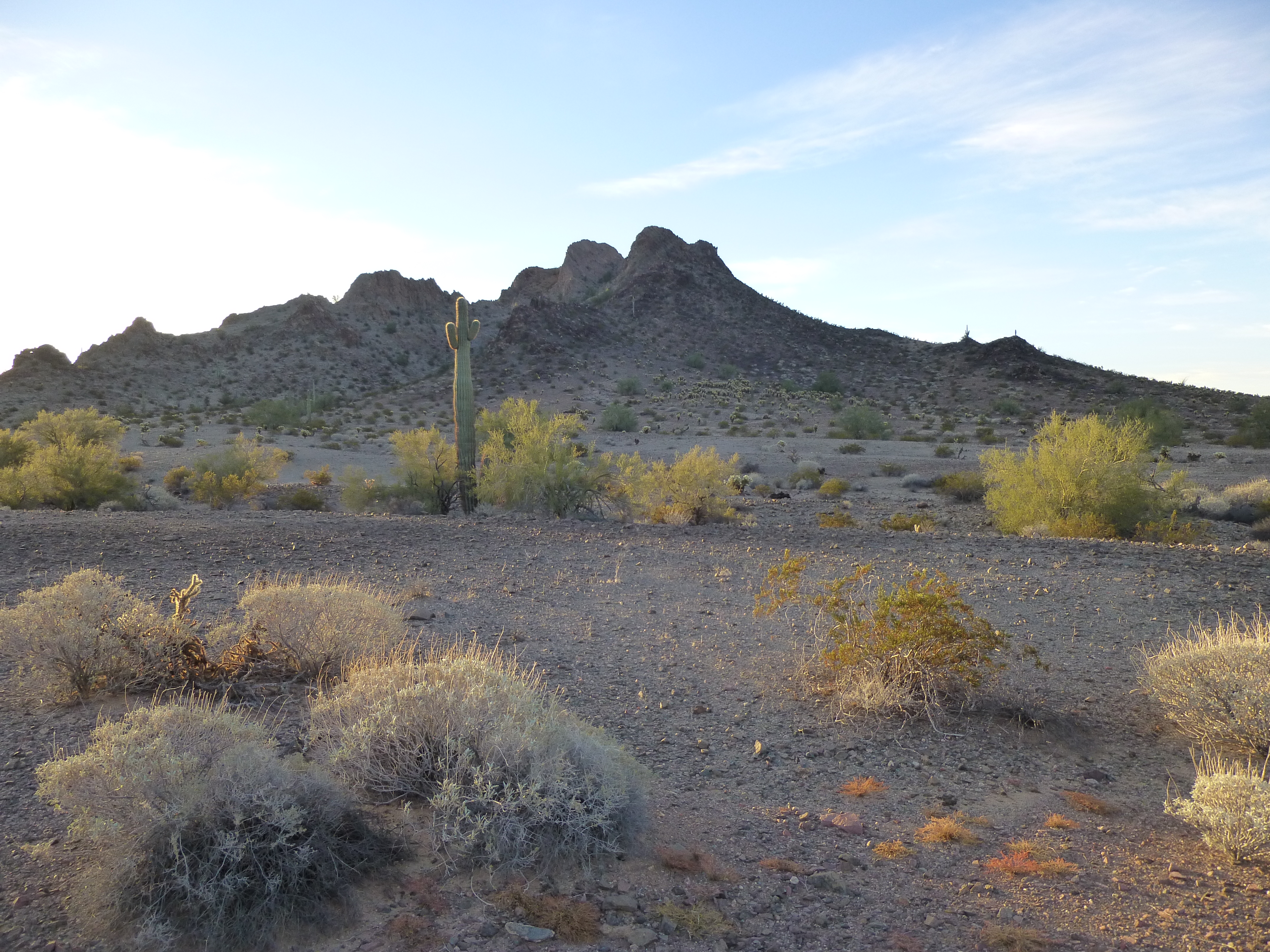
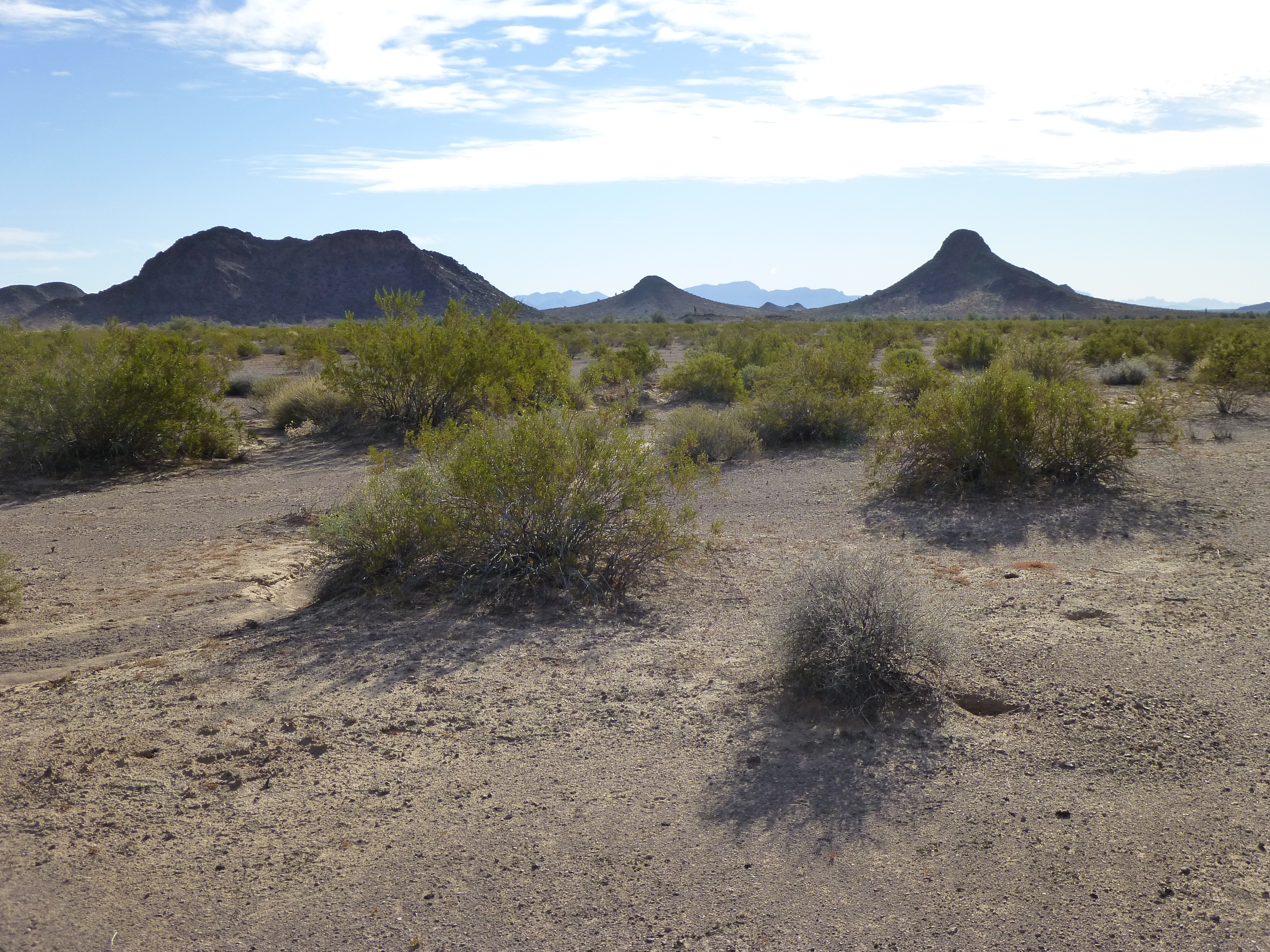
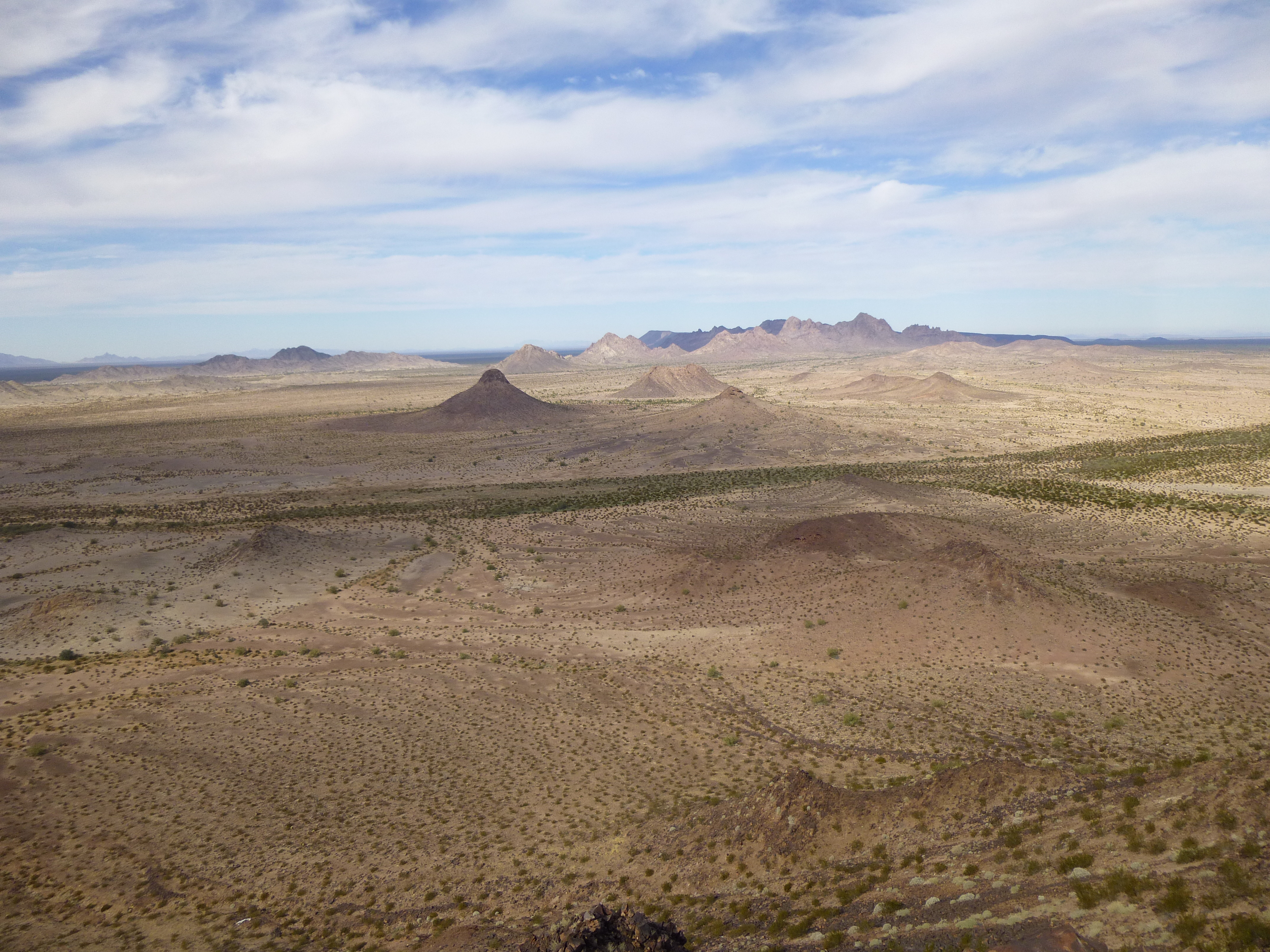
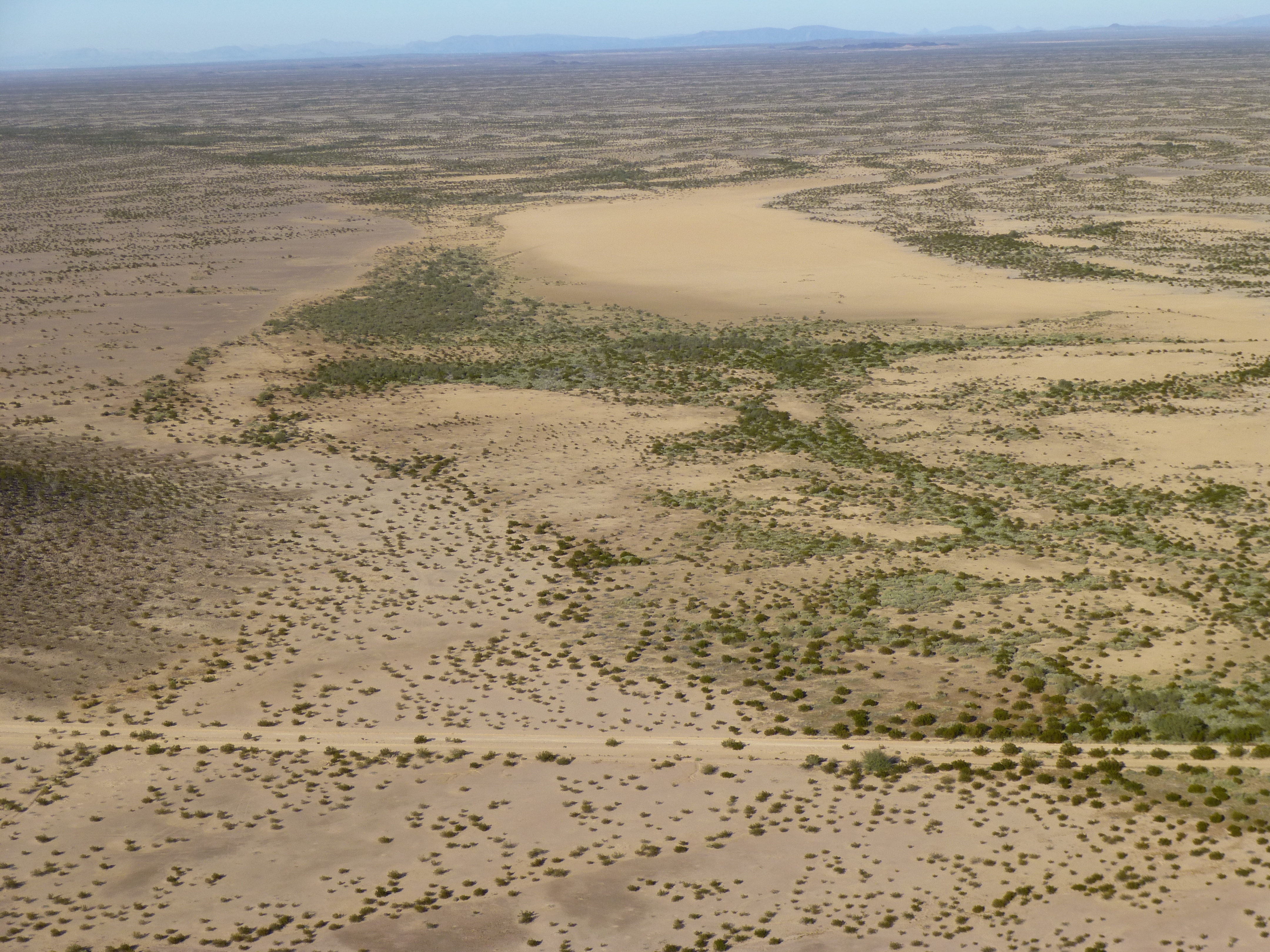
Sunrise in the Aguila Mountains
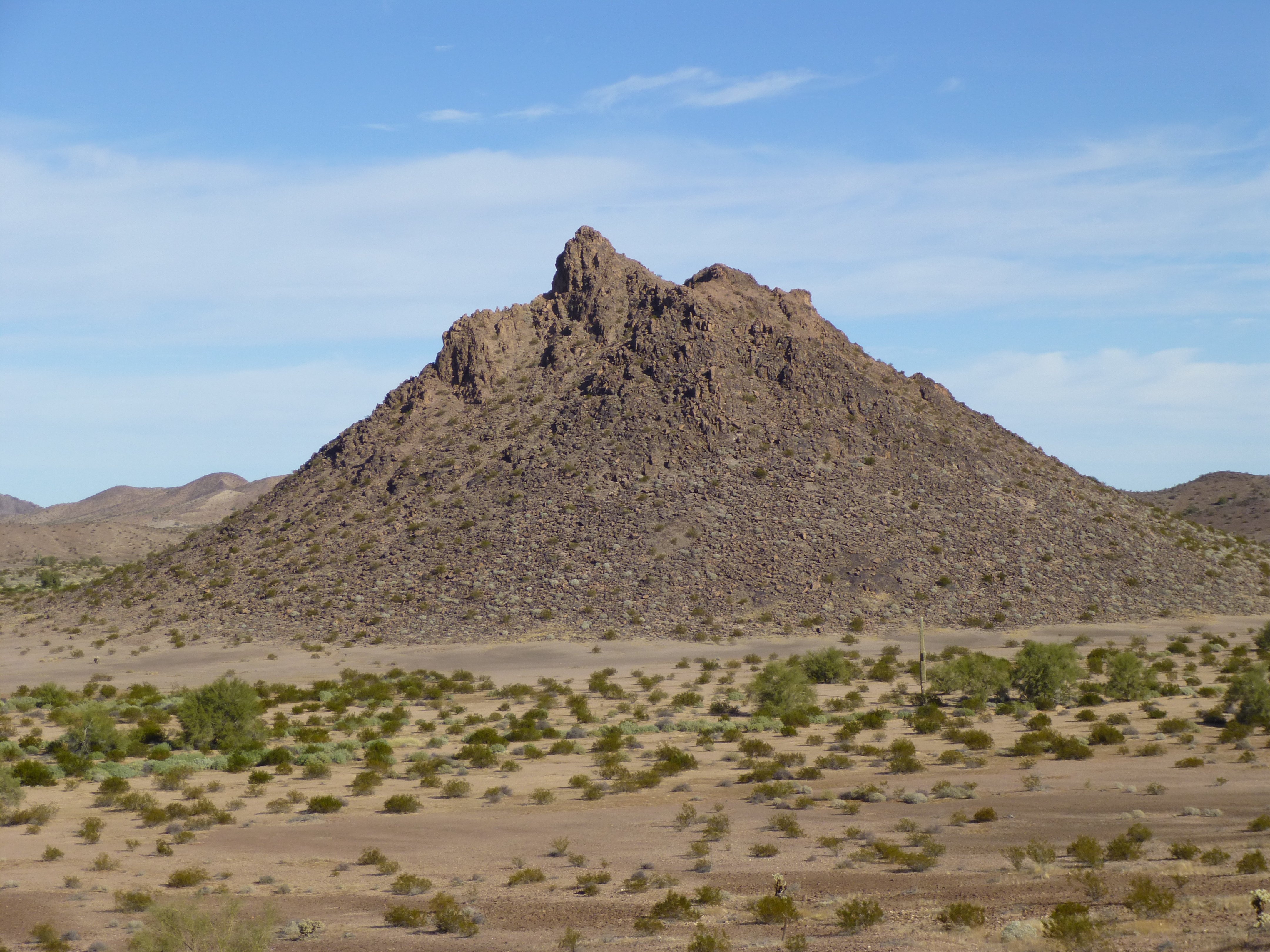
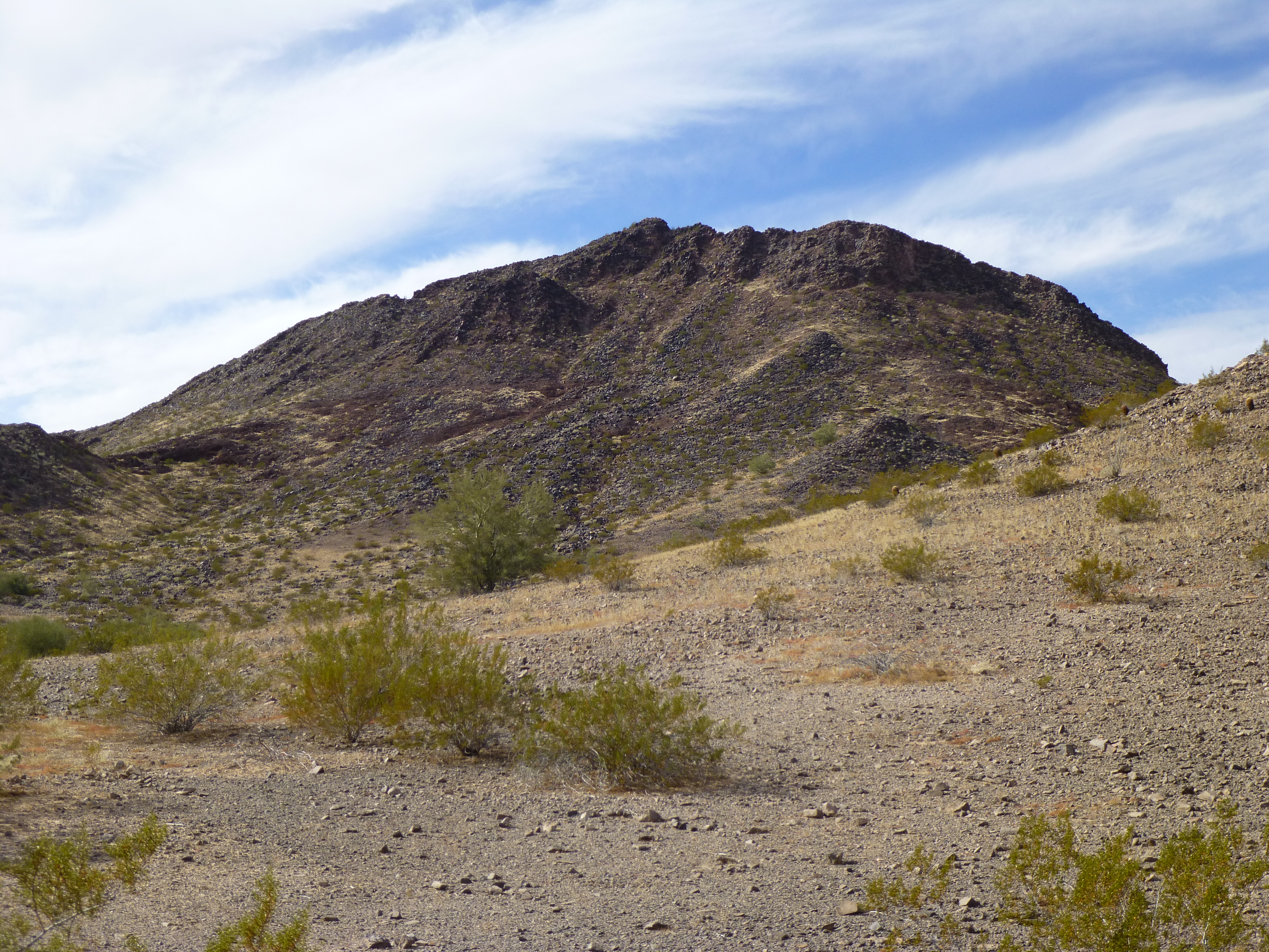
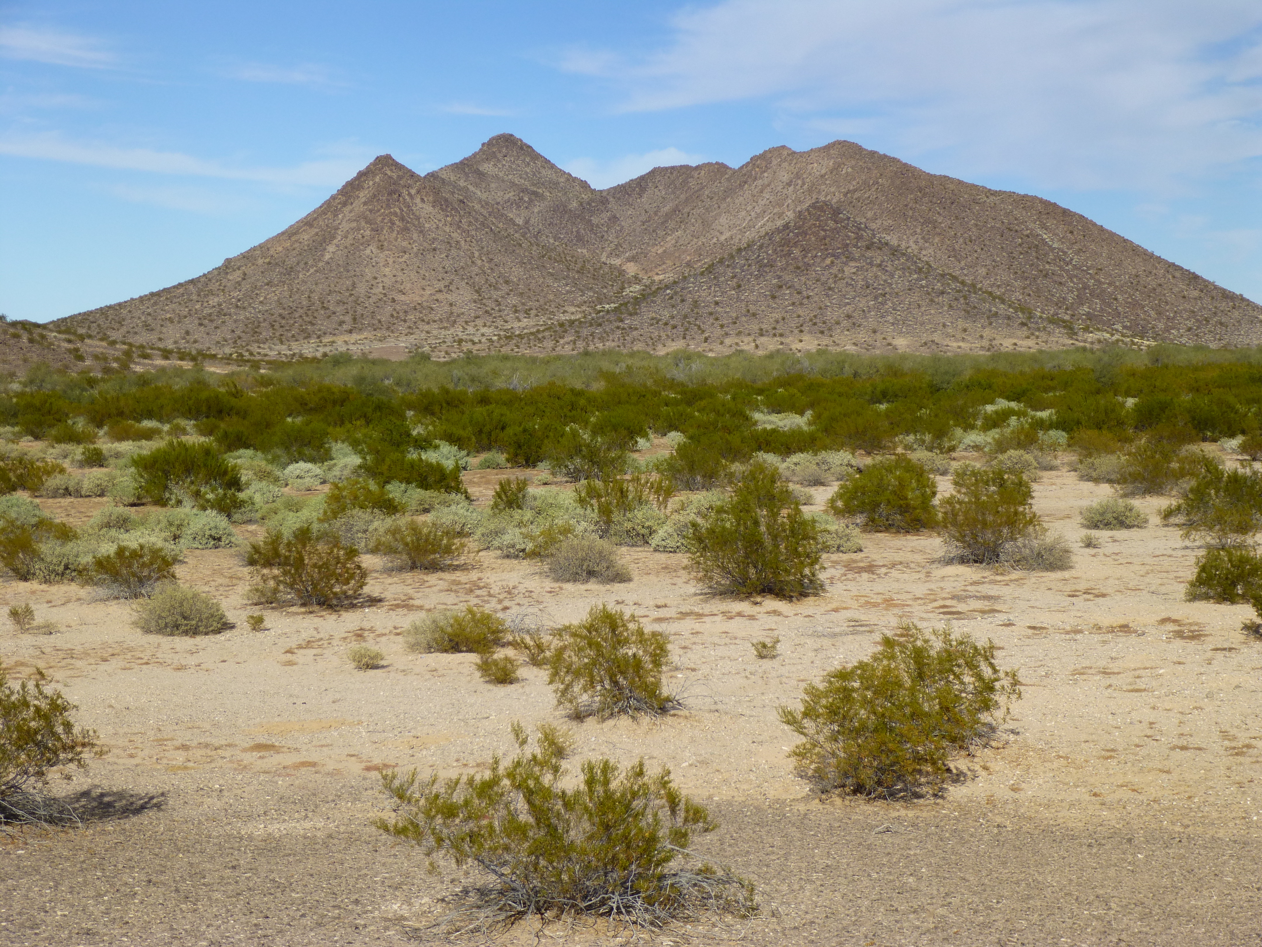
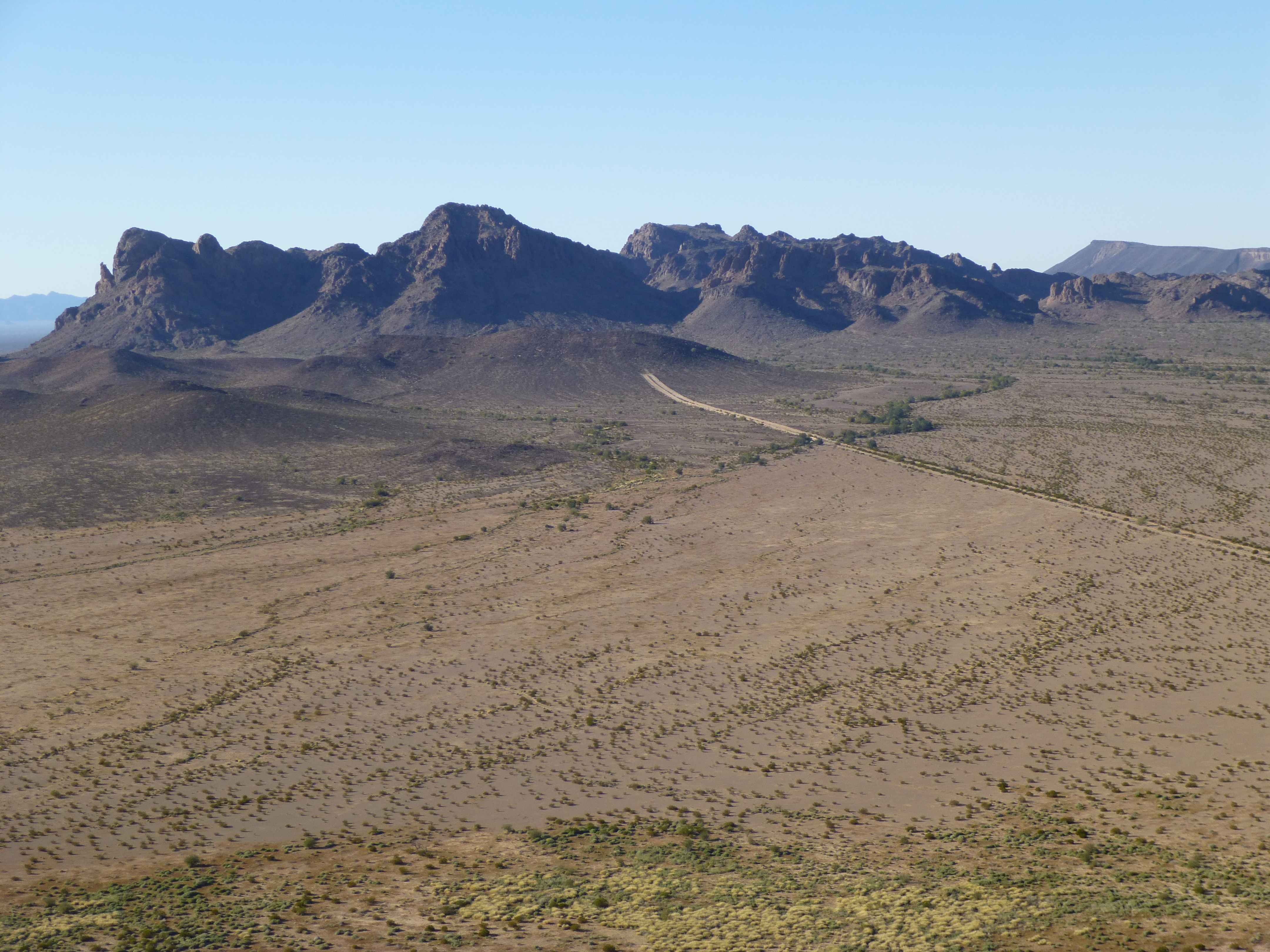
Four peaks were on the agenda for today – they were widely scattered, and we knew it’d be a late return to camp. Using an old road or two would actually save us time, even though our distance covered would be greater. Heading cross-country is always slower than using a road, at least here in the desert, even though you might be able to go in a straight line – dealing with all the stuff in your path (washes, ridges, vegetation, outcrop) eats up time. A few miles after leaving camp, we had described a 3-sided loop and stood looking off into the desert. A short distance south of the old road sat Peak 1145.
Looking south to Peak 1145
Its summit sat a mere 400 feet above the surrounding desert, and we were confident of a quick ascent. Leaving the road, still wearing 3 layers against the cold, we soon reached the north side of our peak and climbed. Cresting a rise, we looked ahead and, what the…. Hmm, not where we thought we’d be. A drop, then another climb up to a ridge, where we saw that this mountain wasn’t finished with us yet. It rose well above our heads, but a few hundred yards away sat a suspicious bump that could be even higher.
We started towards it, across the loose slope, but when we had covered most of the distance, a look back up over our left shoulder showed an even-higher rocky shoulder.
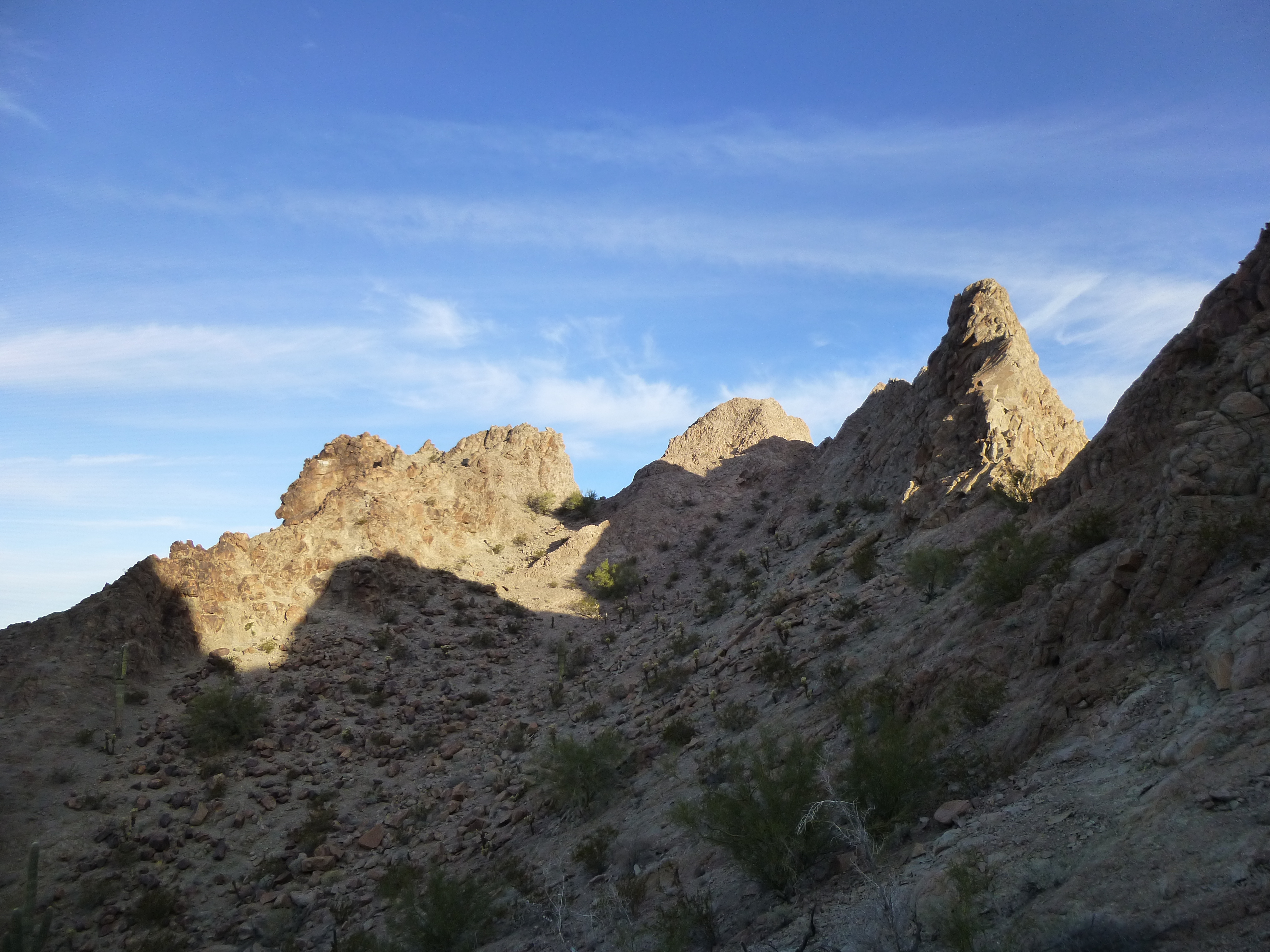
There were a few tricky bits, but before long we stood at a narrow ridge which was the summit. Not something I wanted to walk along standing up.
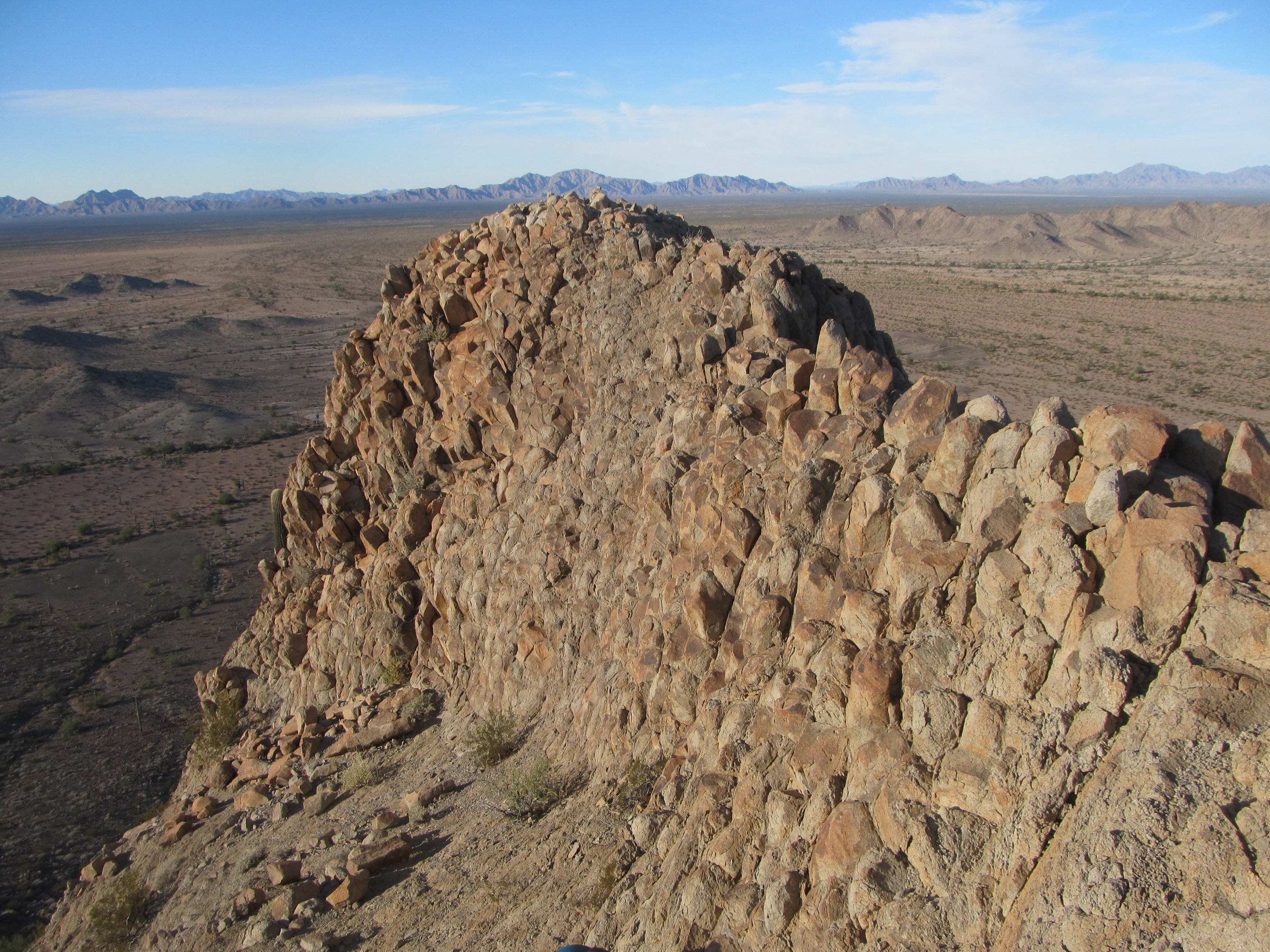
The summit of Peak 1145
We prepared a register and left it on the highest point, then very carefully made our way down the southeast side of the mountain. Here’s a look back at what had just taken us way too much time to climb – it was more of a challenge than we’d bargained for.
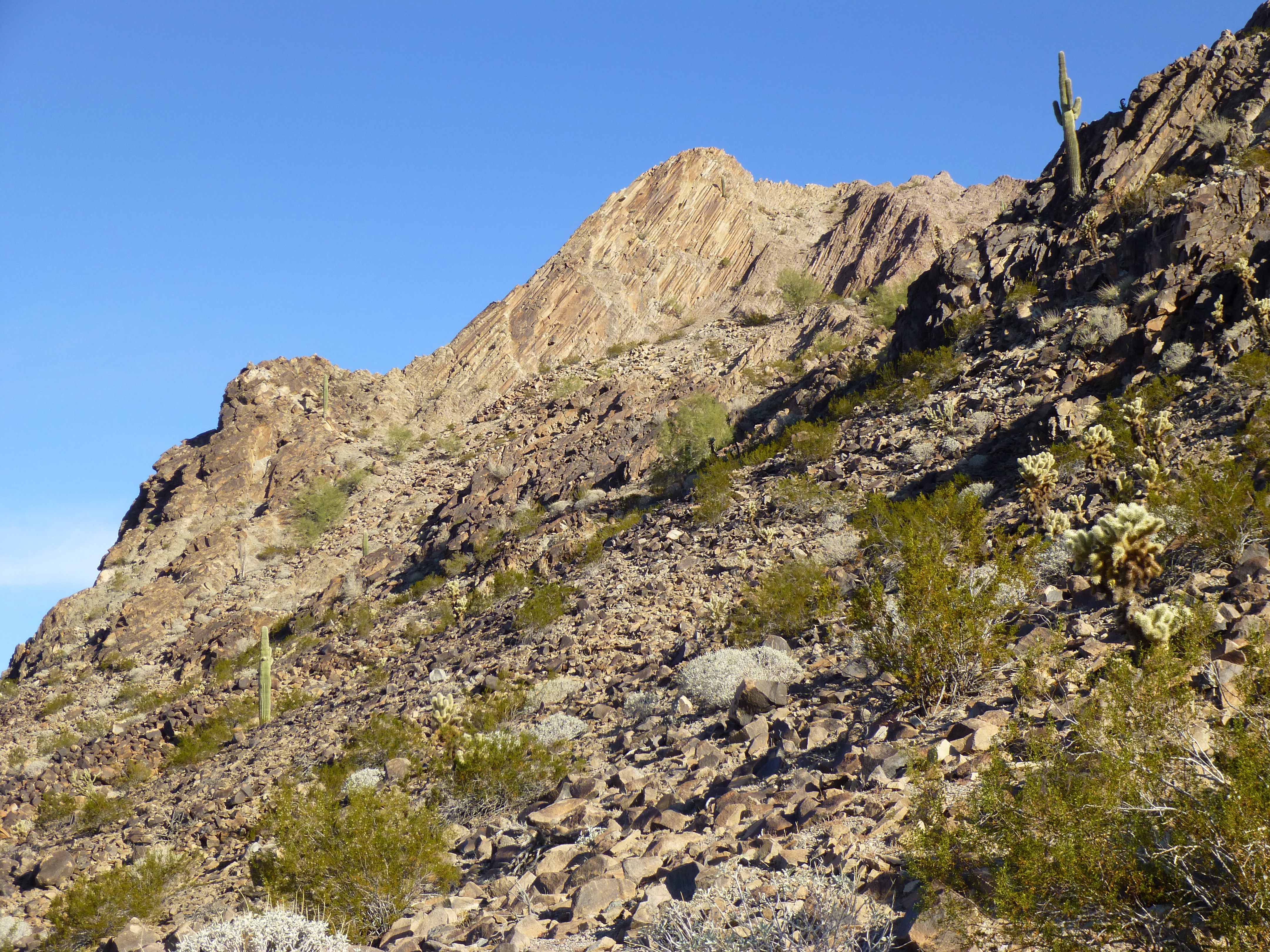
Looking northwest up to the summit of Peak 1145
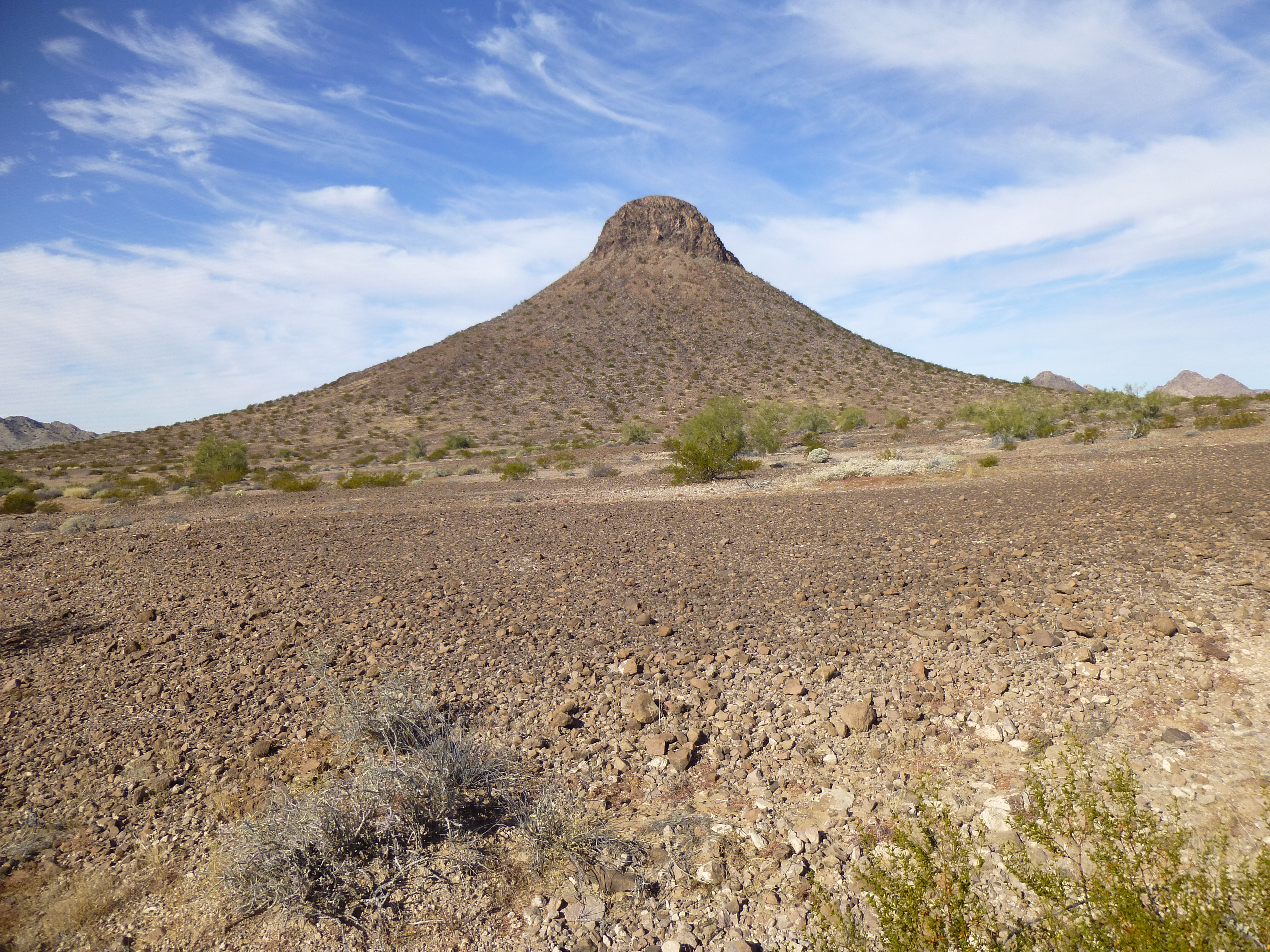
Why did we descend by that side of 1145? – because a big part of the rest of our day involved heading to two more peaks in that direction, farther and farther away from camp. This was one of the flattest pieces of desert anywhere, and we set out at a good pace. We had a good look ahead to our next peak, and as we marched towards it, its steep sides gave us pause.
Our next peak, on the right
What would we find when we got there? Perhaps it would turn out to be quite the challenge – who knew, no climbers had ever set foot on any of these. As we walked, we had good views out to the Growlers, the Granites and the Mohawks, all of which had occupied a lot of our time over the years. Halfway to our goal, we saw something lying on the ground ahead – at first we thought it was a plane that had crashed, but upon reaching it we saw that it was some type of military drone. It couldn’t have been all that important, as they had left it lying there.

The crashed drone
This whole area south of the old road – we labeled it the “Southern Aguilas” – was filled with a dozen or so other small peaks with not quite the 300-foot-minimum prominence that attracted us, in addition to the ones we’d set out to climb today. Beautiful, raw desert, unspoiled, unclimbed – that was a huge part of the lure for us.
Point 963, untrodden and waiting
As we approached our next one, Peak 1013 (the lowest we’d do on the trip), we kept hoping for a chink in its armor, as it looked pretty steep. The topo map showed a possible weakness on its northwest side, the exact side of our approach. As we reached its base, Mark quickly climbed up to explore and found an easy route to the summit. Good thing too, because the rest of it was out of our league. Another untrodden mountaintop, and we left our mark. It was around eleven when we went back down the way we’d come up, then swung around the east side and continued to the next one. Here’s a look back at 1013 showing the southeast side.
The southeast side of Peak 1013
Red Point was the only one of our 13 Aguila peaks with an actual name. At 1,183 feet elevation, its summit would be almost our highest point of the day, and as we scrambled up its slope to reach the north ridge, we wondered about the origin of its name. On its top, we found Copa Benchmark (perhaps a nod to the fact that it was the most southwesterly peak in Maricopa County?). This also placed us at our most remote spot, having traveled a full 33 miles from our trucks.
To say we had a good view would be an understatement. Two prominent military roads met at its northeastern base. In the next photo, the distant range behind Mark is the Growler Mountains. Just to the left of him is the triple bump of Paisano Benchmark, near the northernmost tip of the range. On the left side of the photo is the arrow-straight road heading east to the STAC main airfield.
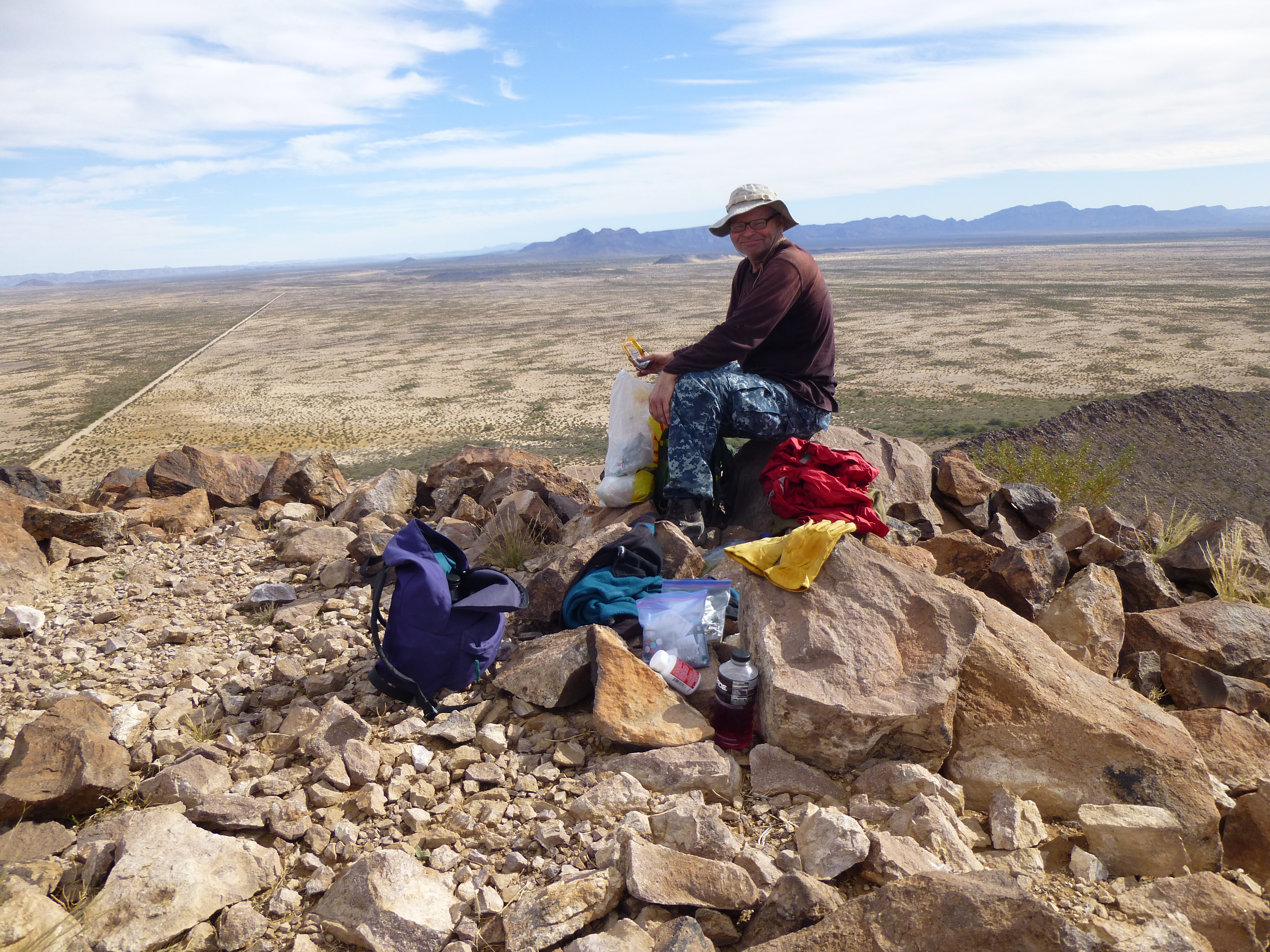
Mark on Red Point
Another view from the top was this one, looking northwest back the way we had come today. The black one in the middle is 1013; to the right of it and behind, with the white blotch, is 1145 – these were our first two of the day. The dark patch on the horizon just to the right of center is the central part of the range, where our camp was located.
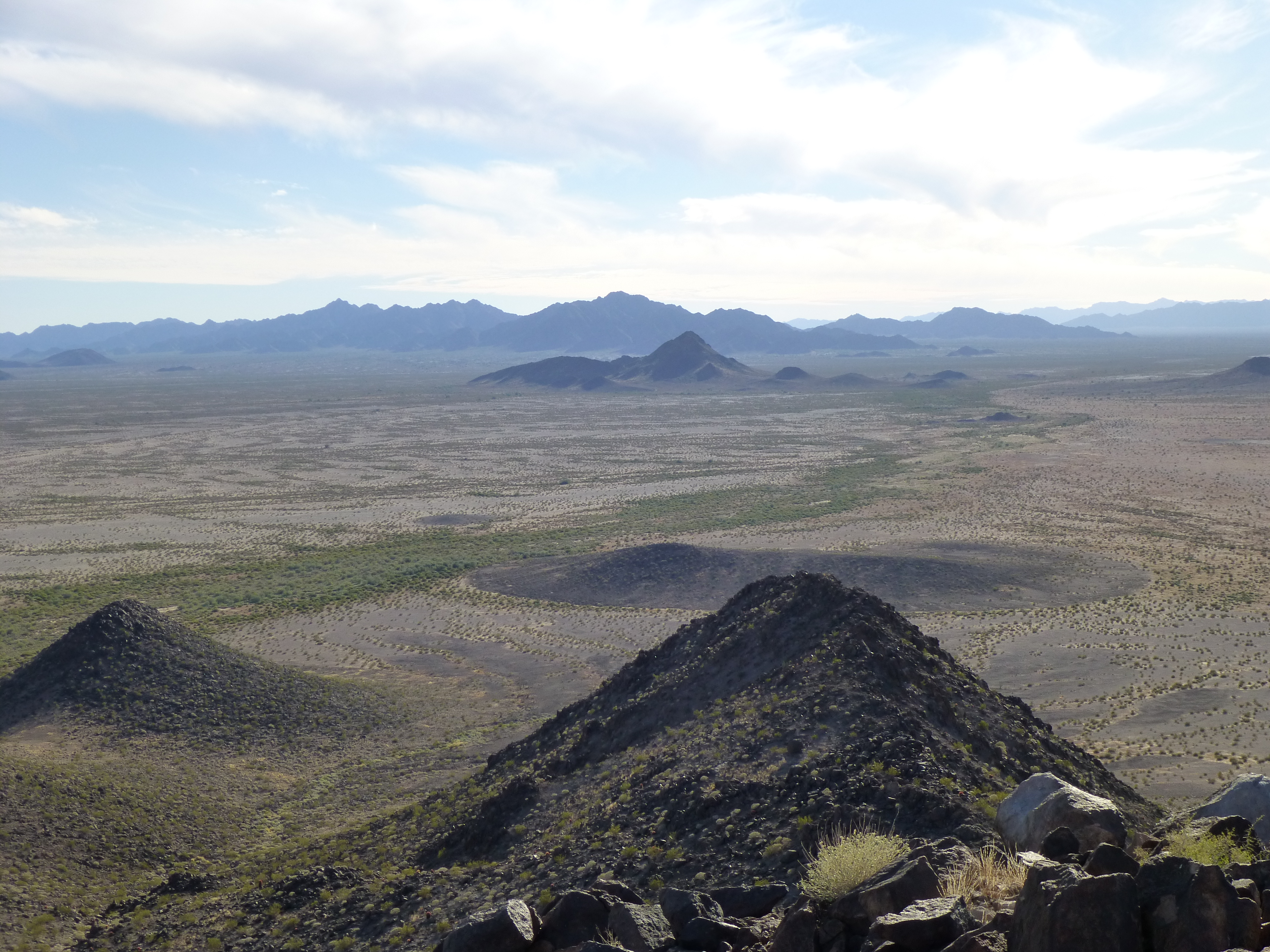
The view northwest from Red Point
In the distance, A-10 aircraft were dropping bombs, F-16s were zooming around doing Air Force stuff, and we had a front-row seat for all of it. If it weren’t for the fact that we still had a crippling distance yet to cover before we saw camp again, we would have stayed longer. After leaving a register, we were soon down to the road. Here’s a look back to the top.
The east side of Red Point
Being clever fellows, we thought we’d walk the military road north and make quick work of the trek to our fourth and final peak of the day. That idea quickly withered and died, though – a hundred yards of walking on the road was like walking in foot-deep talcum powder, extremely tiring and totally useless. Military vehicles had ground the desert soil to the finest particles on the planet.
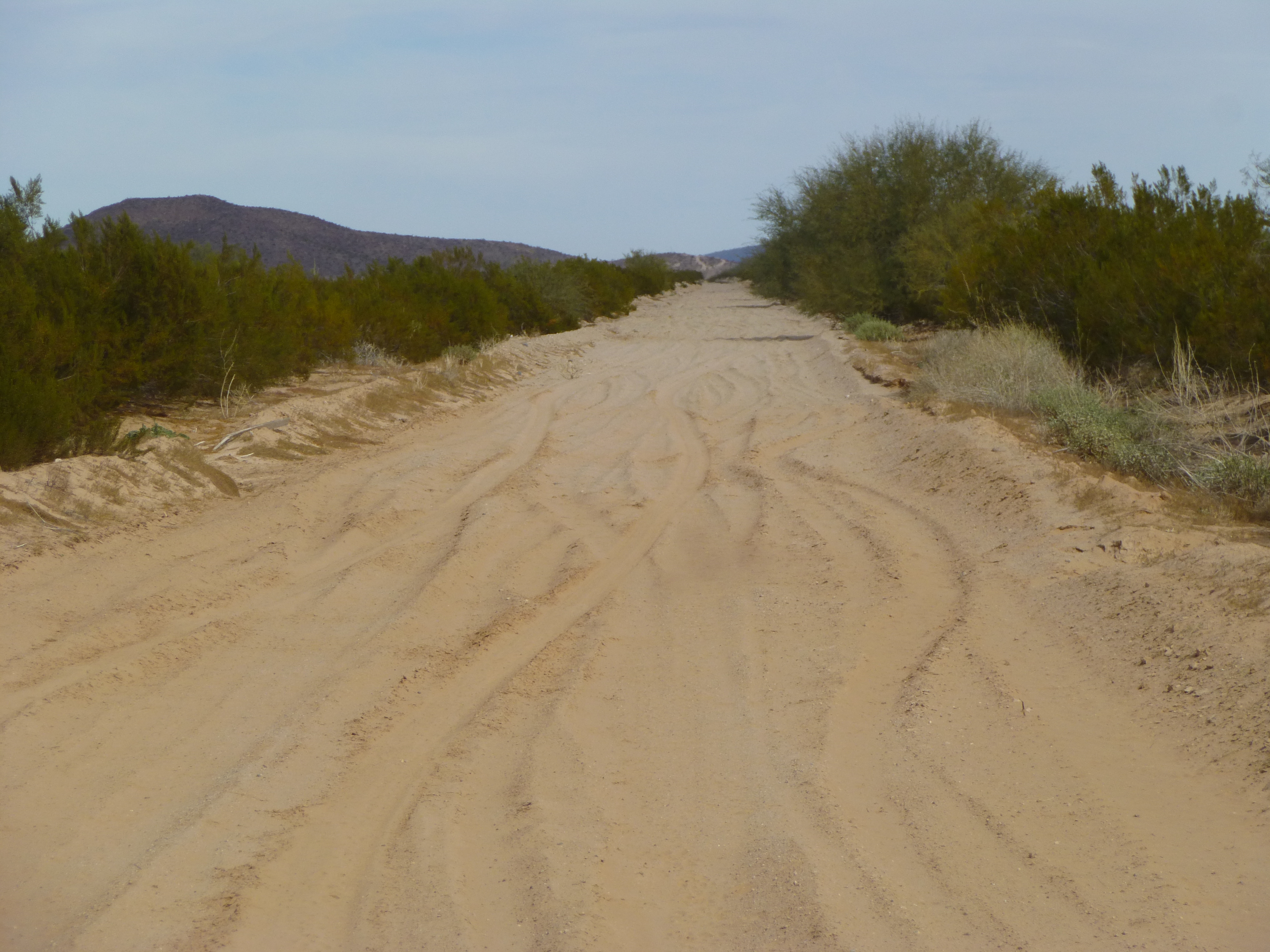
The northern branch of the Red Point Road
Beside the road, we spotted these desert gourds (Citrullus colocynthis). The desert must have been full of them at this time of year, as everywhere we went we saw coyote poop filled with seeds from these gourds.
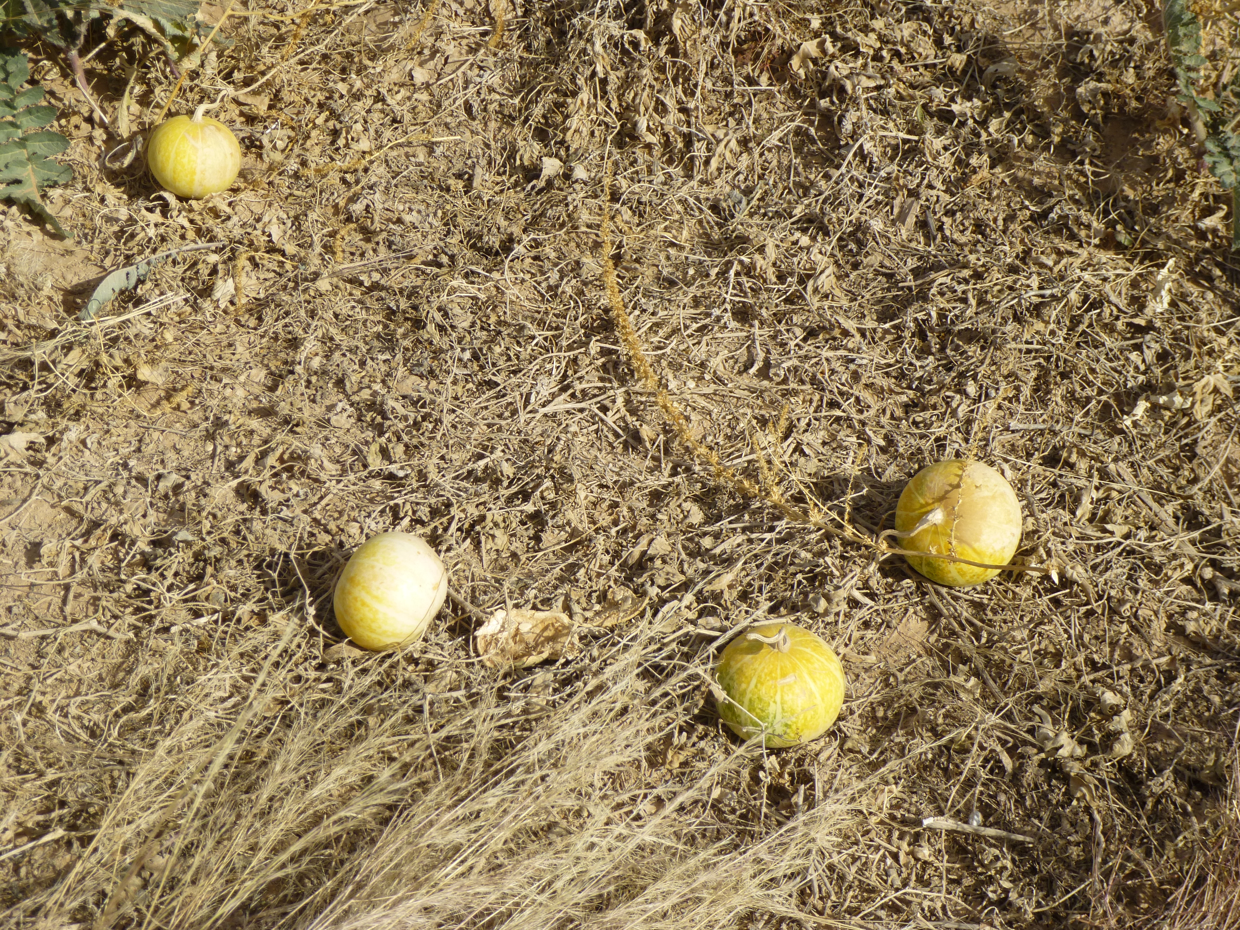
These are about 4 inches in diameter.
We soon left the road and started across the easier desert floor at a bearing of 015 degrees – much better. We made good time, covering the miles at a fair pace. Along our path, out in the middle of a big open spot, we found this large piece of pottery – no doubt left by the Sand Papago, the original inhabitants of the area. One edge was thicker and curved, showing that this was part of the pot’s rim. We left it right where we found it.
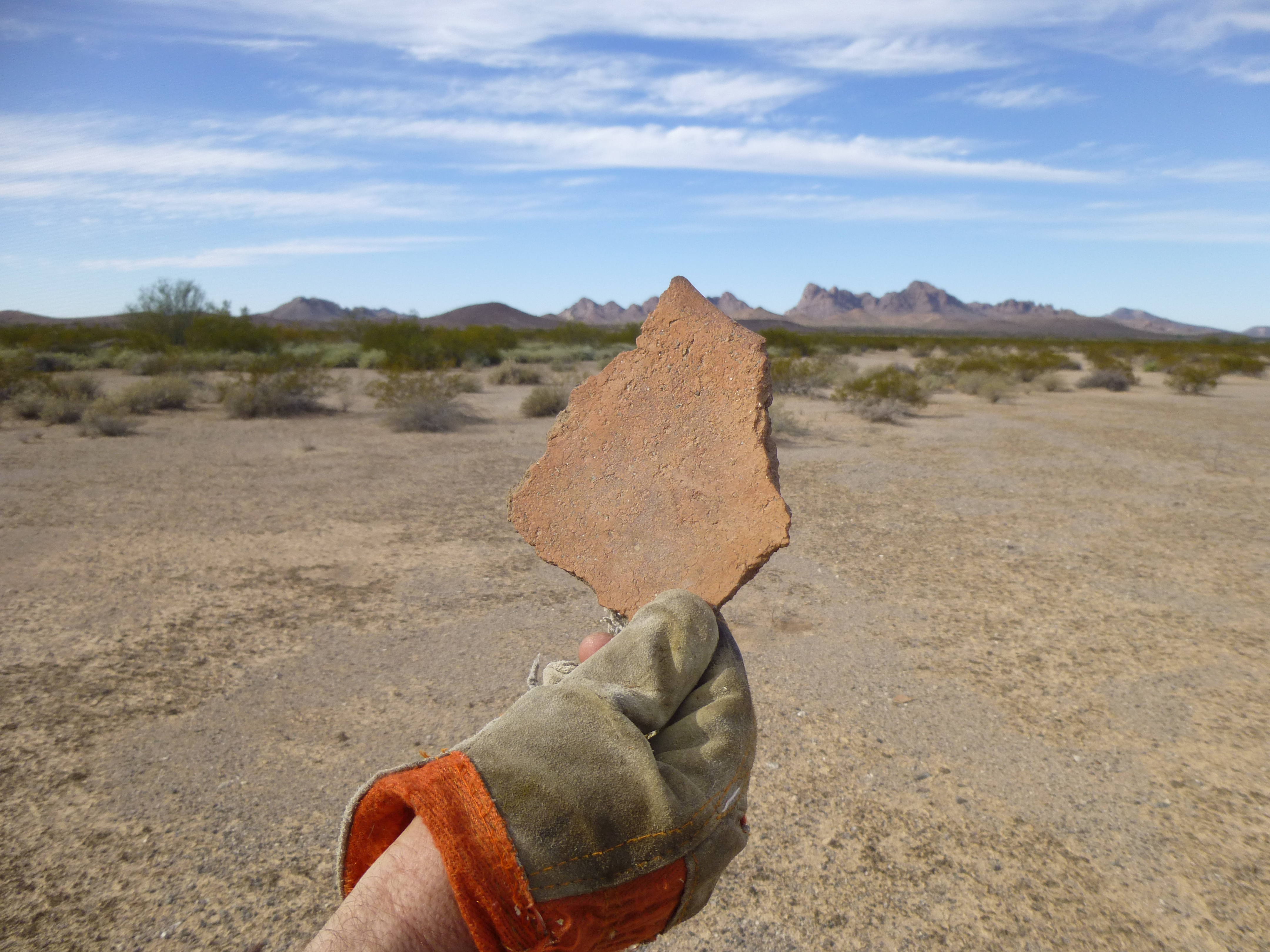
A piece of pottery
Walking, still walking, we finally approached a small hill, Point 773 on the map. As we moved through a thicket of vegetation just south of it, what to our wondering eyes should appear but a 1961 Buick Electra 225.
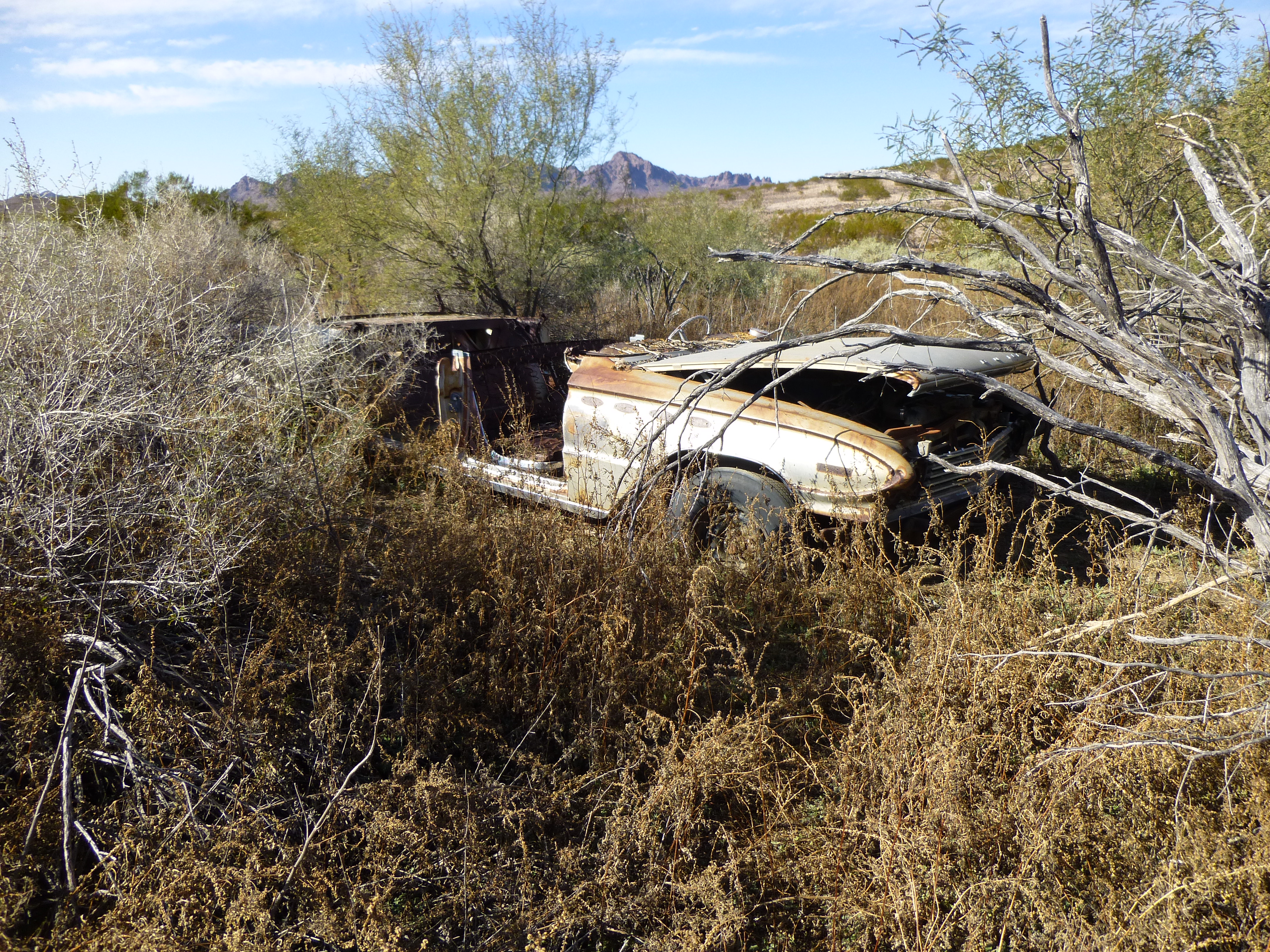
The Buick
This baby had it all – convertible, power seats, nifty AM radio – top of the line. We wished we could have taken it home with us, or at least hitched a ride the many miles back to camp. I’ll bet you could get this sweet ride for a good price.
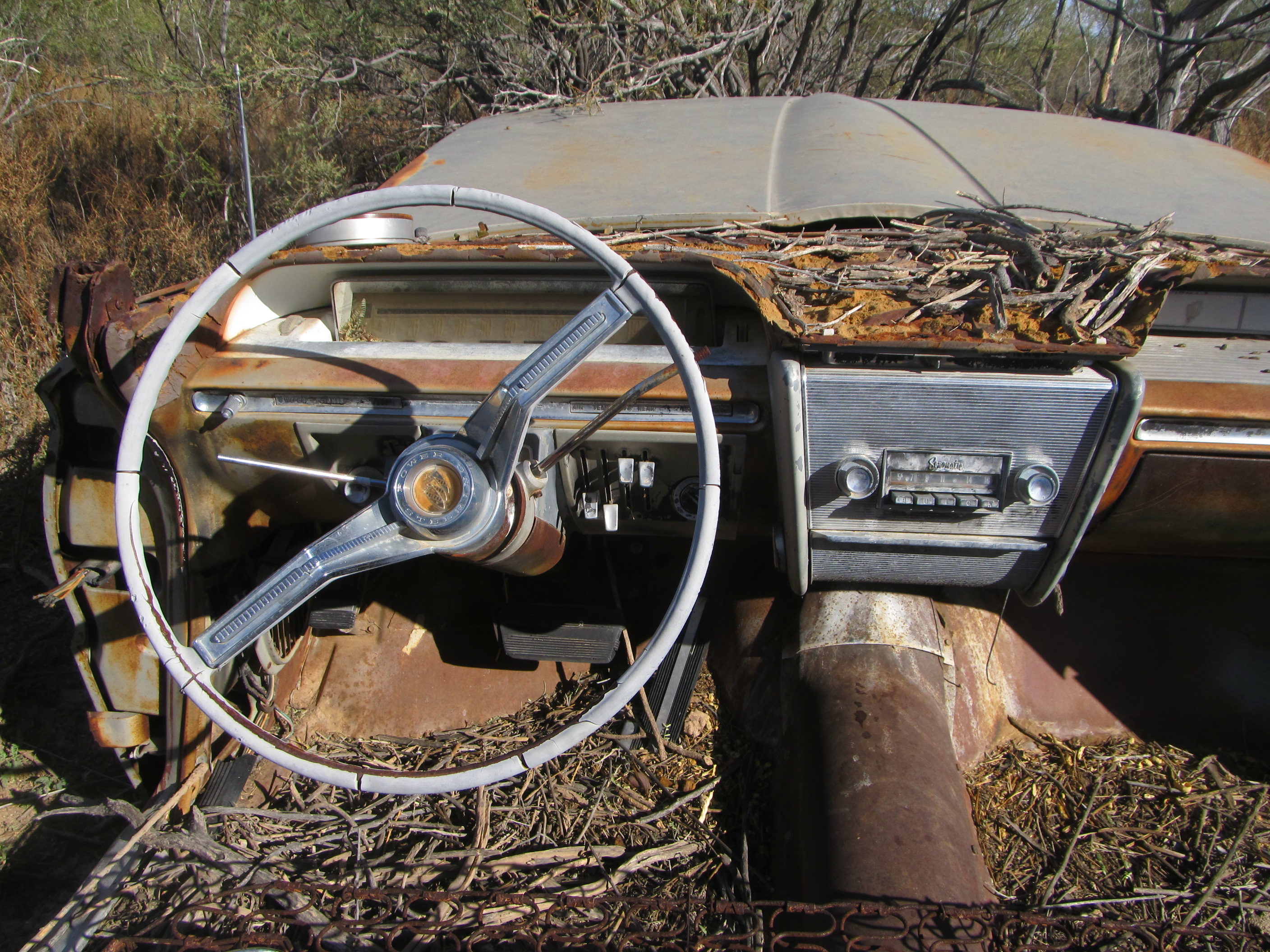
Check out this luxurious interior
It had no doubt been stolen and had given up the ghost while being pursued by law enforcement. Outrageous, finding it out here! We bid farewell to this beauty and covered the final mile to Peak 1214, the last one of our day.
Looking north to Peak 1214
Mark was moving strongly and reached the top well before I did. Our final register was filled out and placed. The north side of this mountain dropped off very steeply, down to what the Air Force calls the Double-Bladed Road. Beyond that, the light patch is a mile-long playa, a dry “lake” bed. During rare heavy rains, water gathers there.
Looking north, down to the Double-Bladed road
The Double-Bladed road, its west end terminating at the central part of the Aguila Mountains
Here’s another view from the summit of 1214, looking south. The dark pyramidal peak out there in the middle distance several miles away is Red Point. Beyond that, on the far horizon, are the Granite Mountains.
Looking south from Peak 1214
A small road branched off of the Double-Bladed Road, heading west, and if we stayed on it long enough, it would take us all the way back to our camp. Down the south ridge we went, bailing off of it at around 1,050 feet and making our way to the desert floor to the west – it was 4:00 PM. After a mile or so, we reached the old road. Now, all we had to do was put one foot in front of the other. Even though it was 7+ miles from Peak 1214 to our camp, and our feet were sore, the late-afternoon light was ethereal, so beautiful it made you want to sit down and drink it in, savor every minute and never leave.
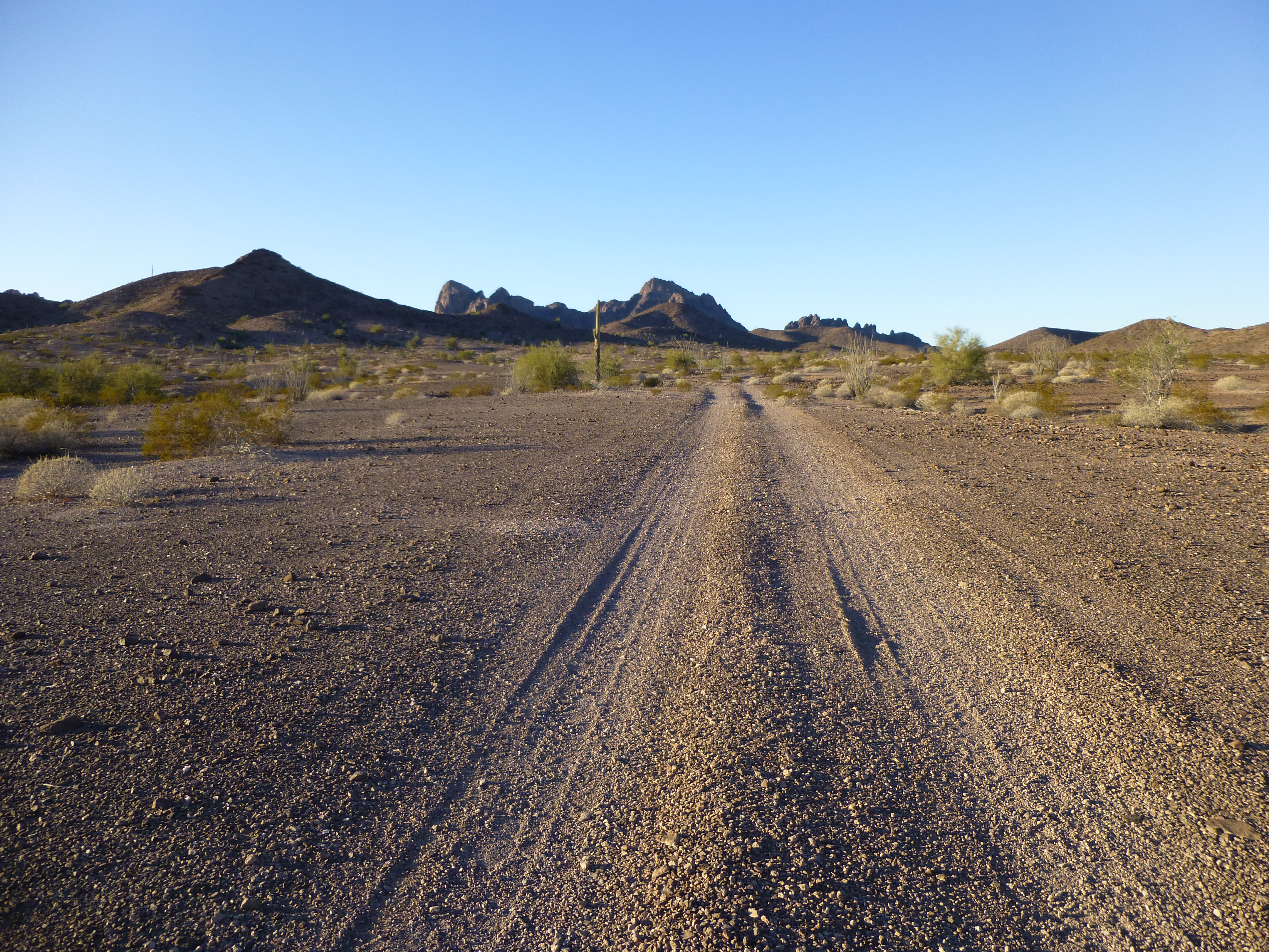
Walking back to camp on the old road, looking northwest to the heart of the central Aguila Mountains
Tomorrow would be a day of 3 peaks, but little did we know the challenges we’d face. In this trek back to camp, we’d have a chance to study all 3 of them, and in the fading light, we did. Simply put, we did not like what we saw. Here is a view of one of them from our files.
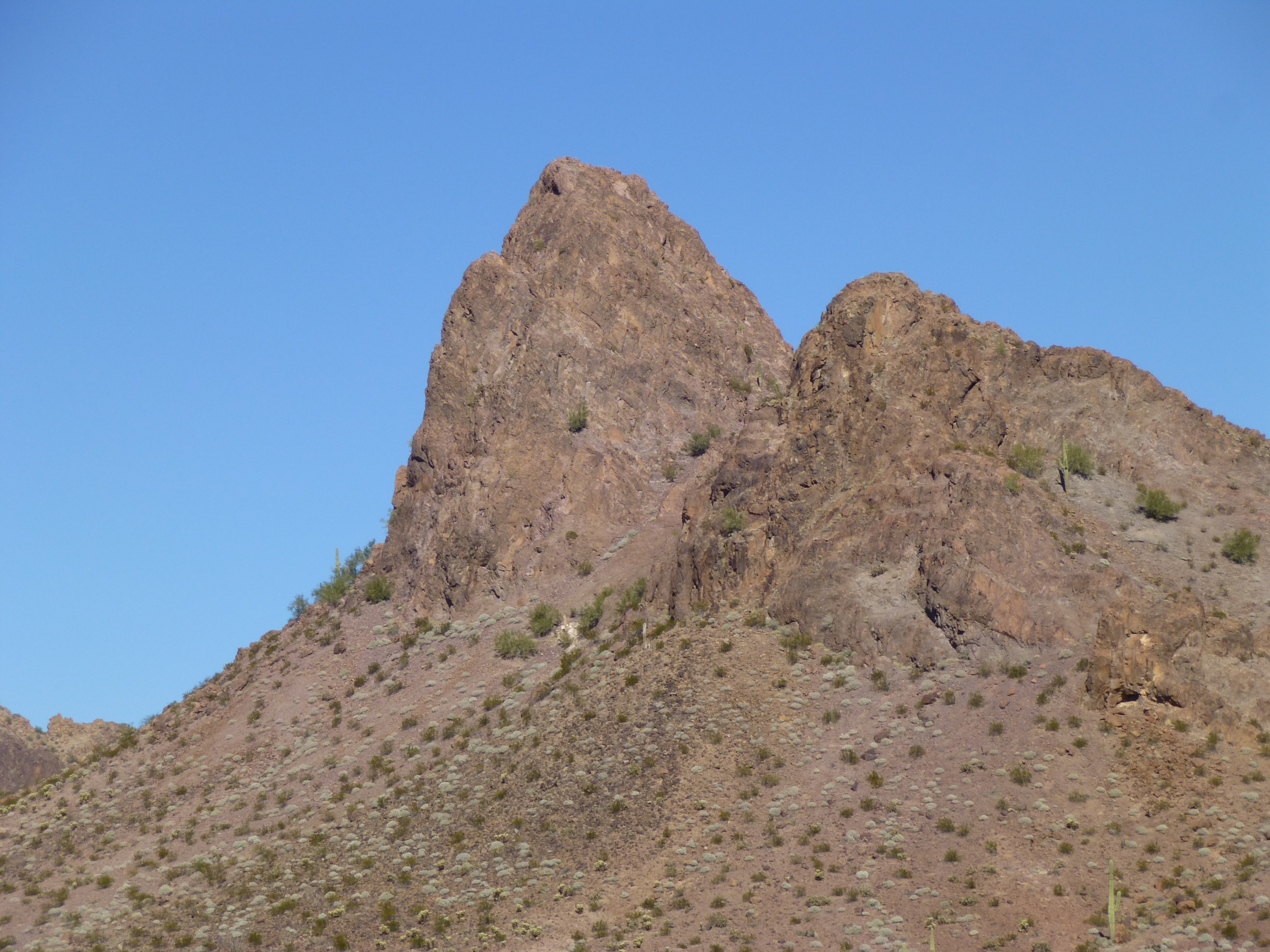
A view of Peak 1422
And here’s a view of the other.
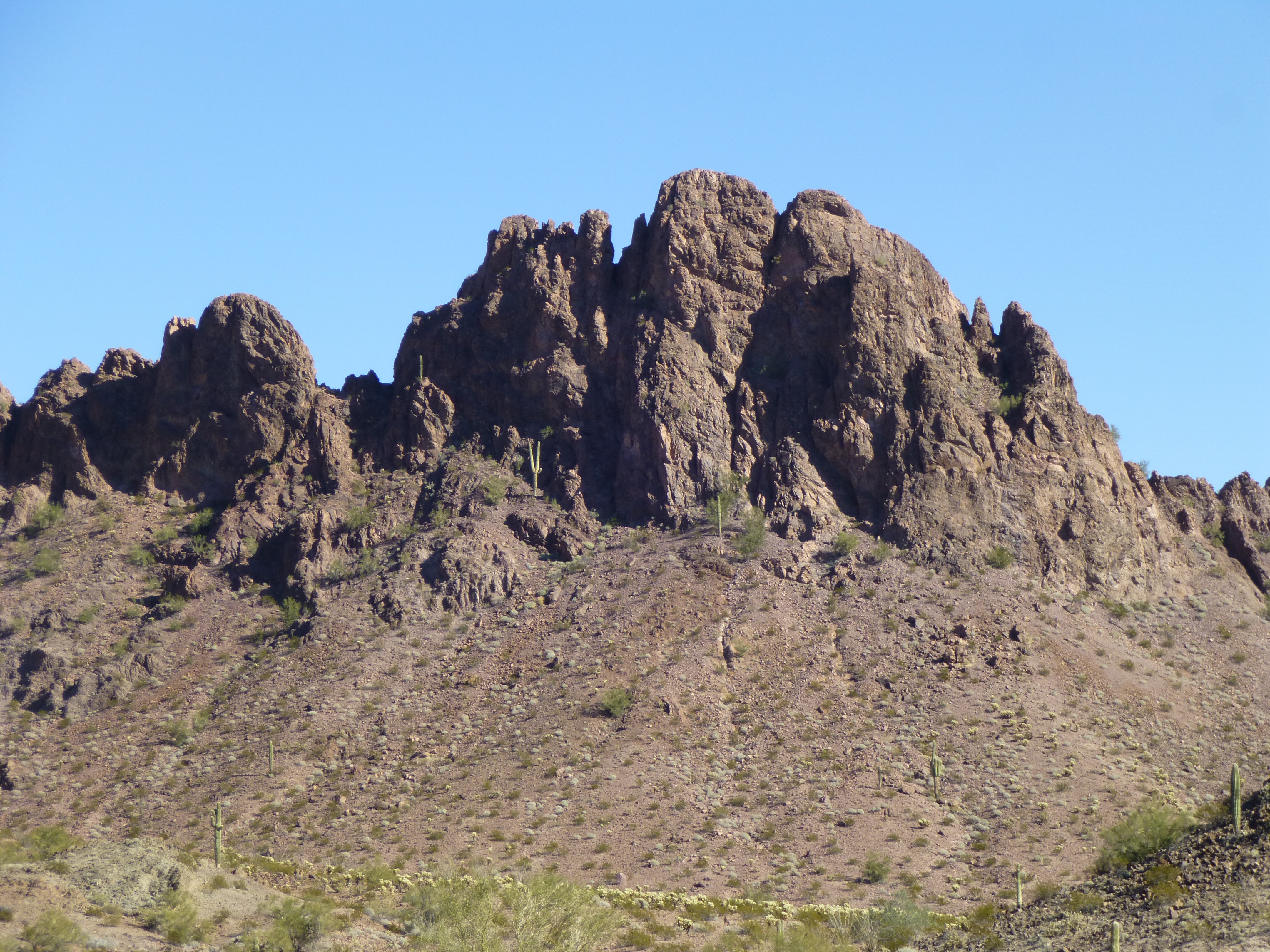
A view of Peak 1250
Two of them looked just plain nasty – one of them looked downright impossible for us to climb unroped. Just what we needed, one more thing to worry about. You can see why we were worried, right? Was our dream of doing first ascents of everything in the range about to vanish in a puff of smoke? I guess we’d have to wait for the morning to find out. It was long after dark by the time we stumbled into camp by headlamp and GPS. Four new peaks and 19 miles on foot, and we were all done in.
Please stay tuned for Part 3 of our story.